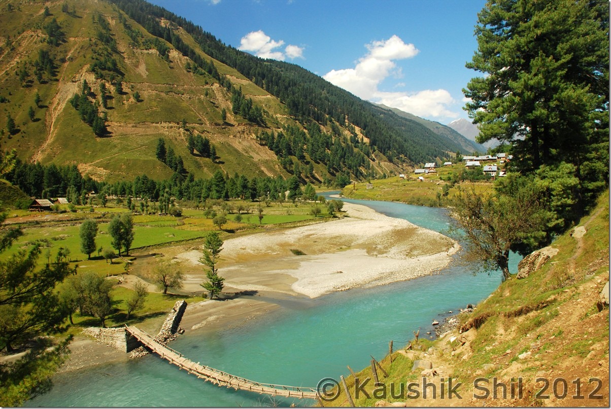
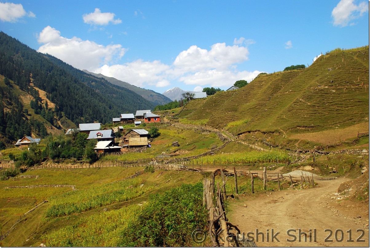
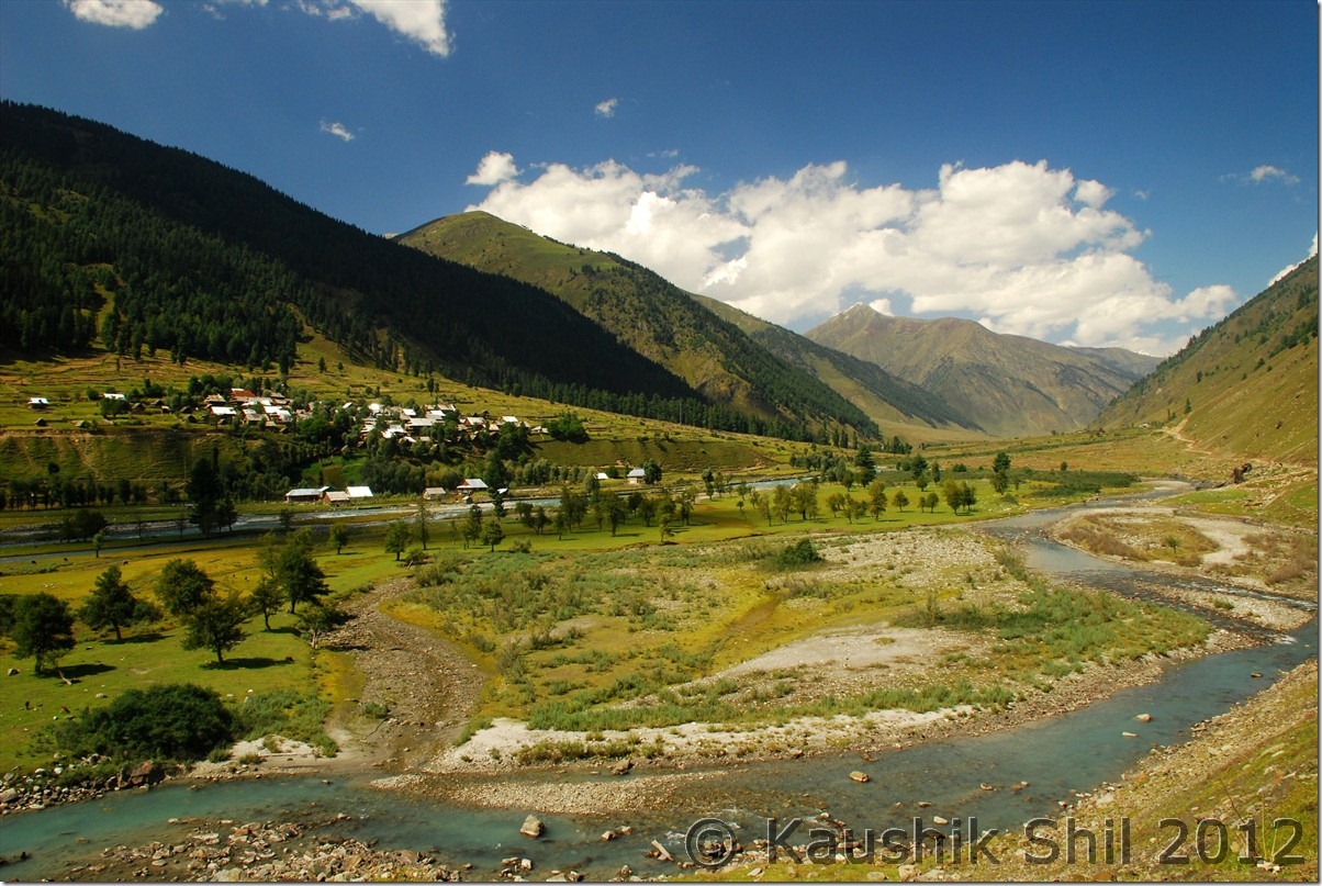
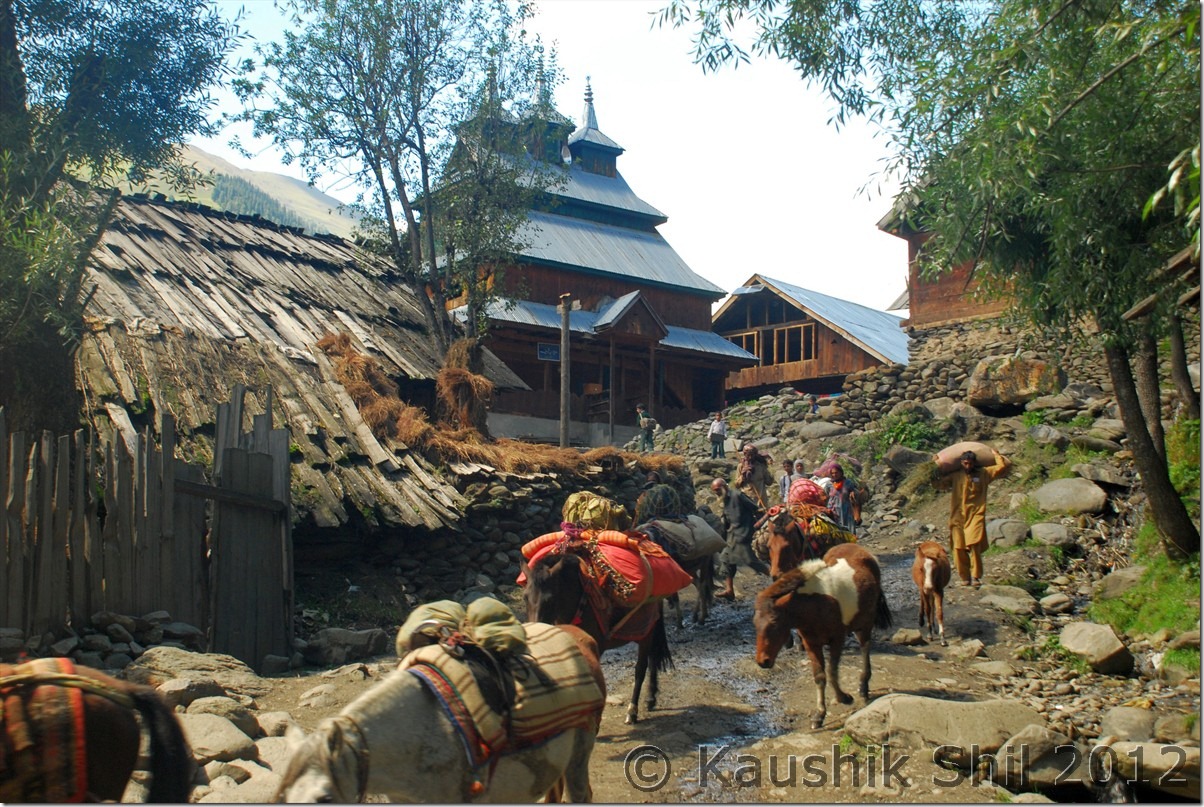
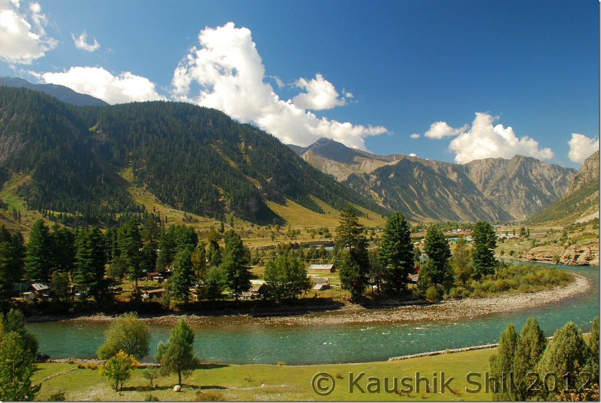
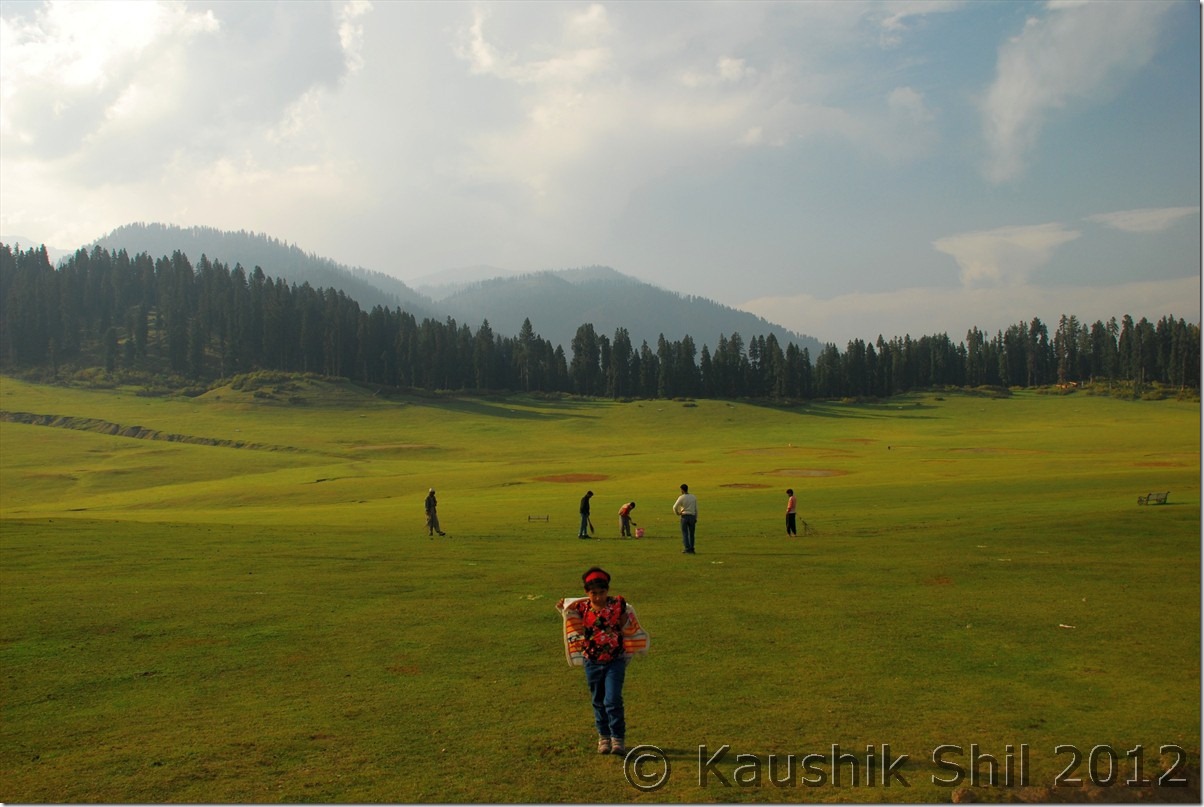
Unexplored Kashmir – Kokernag, Verinag, Aharbal

26-Sep-2012:

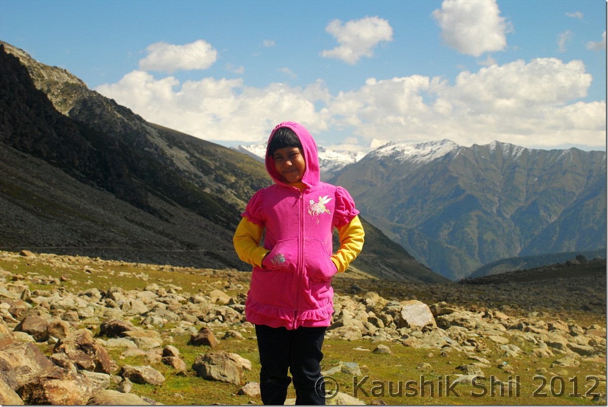
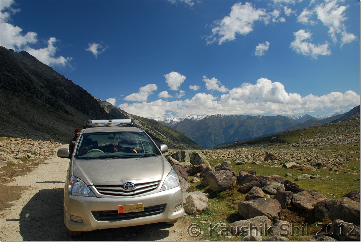
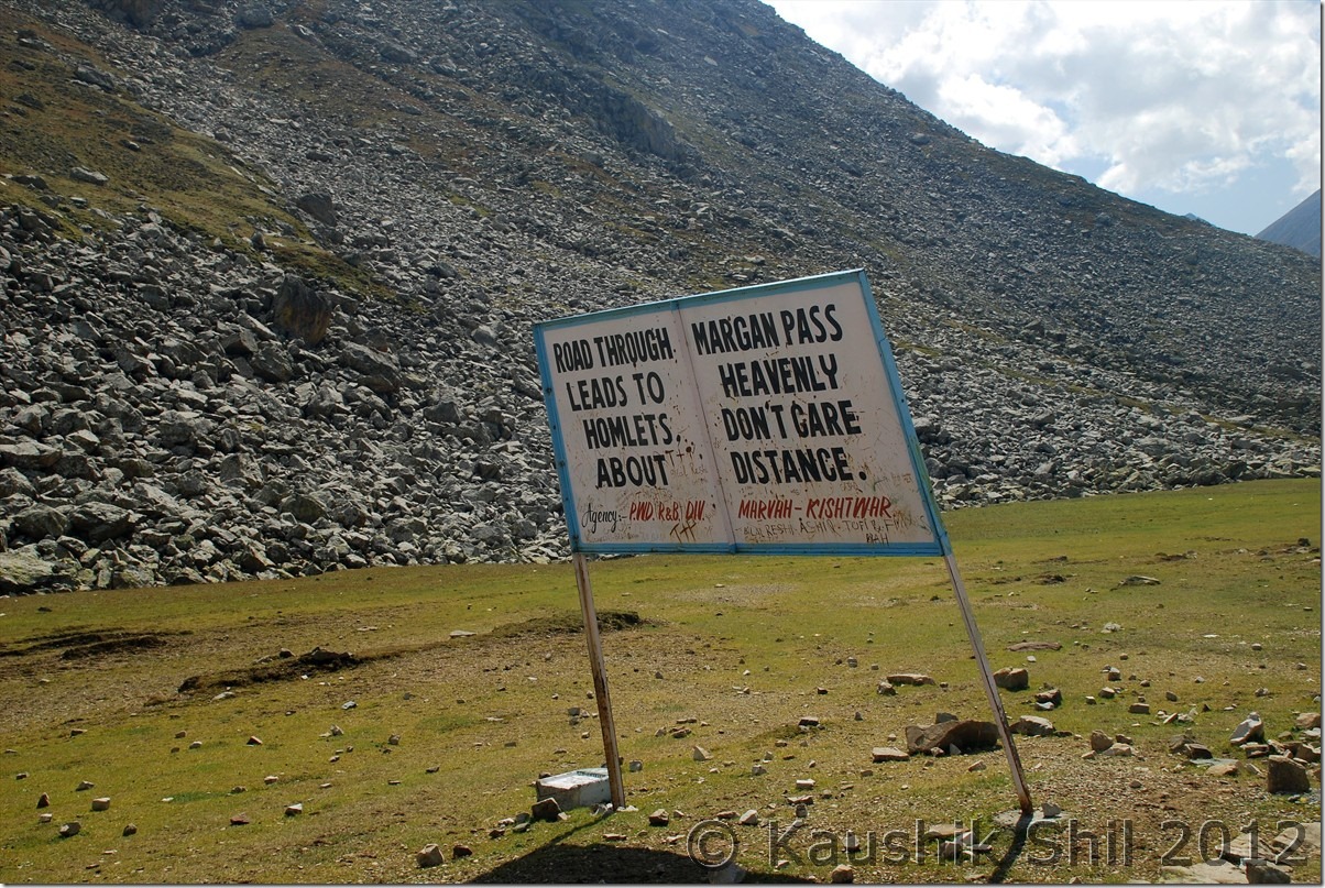
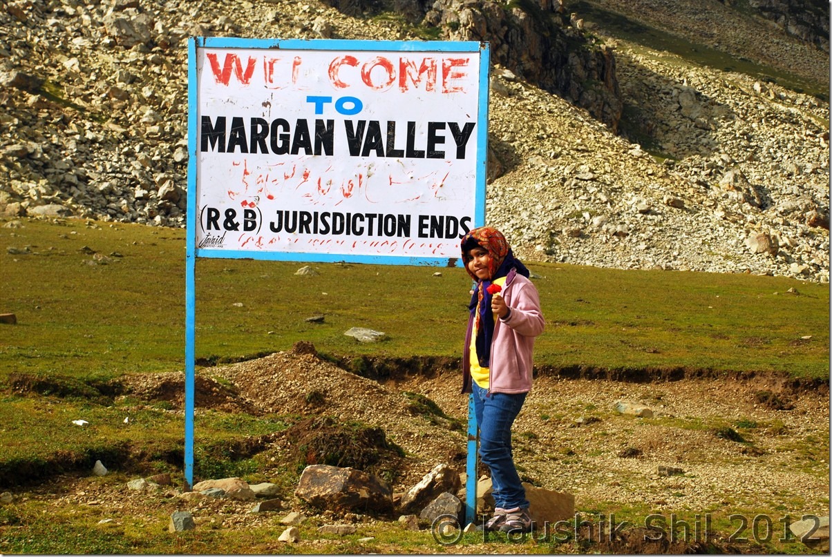
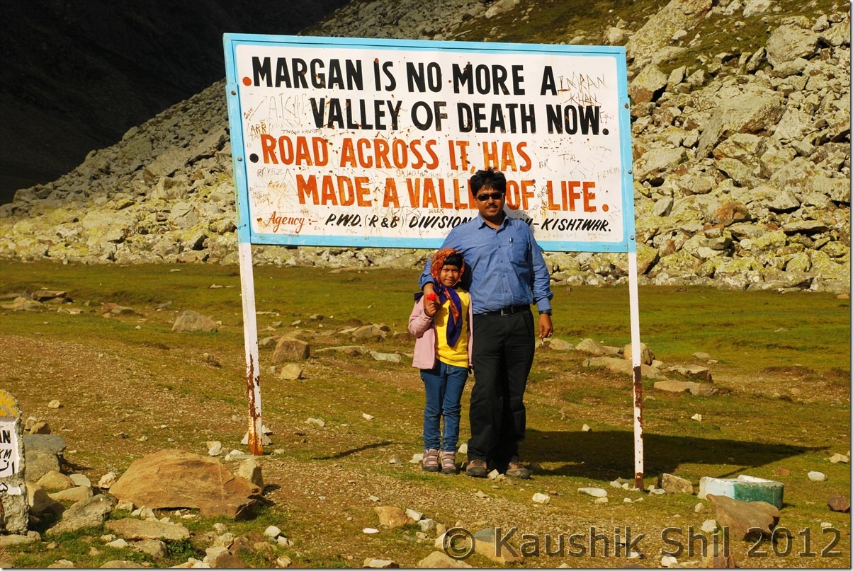
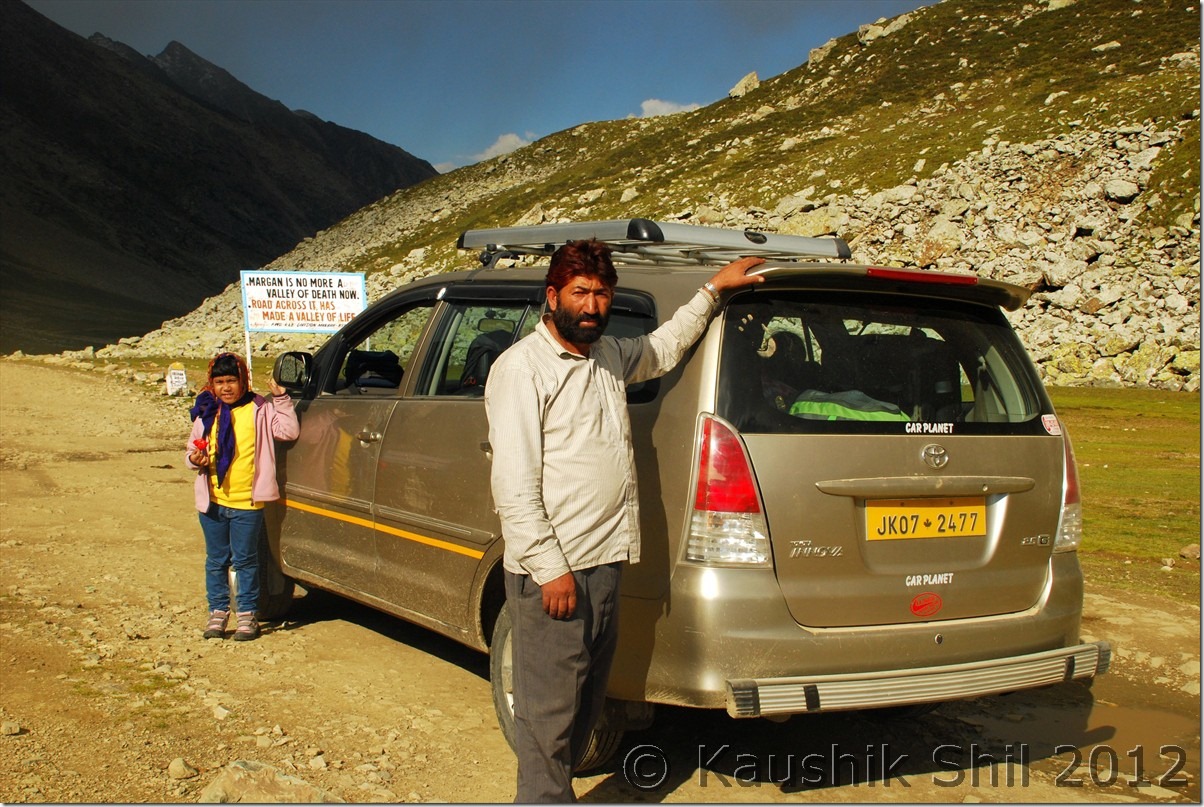
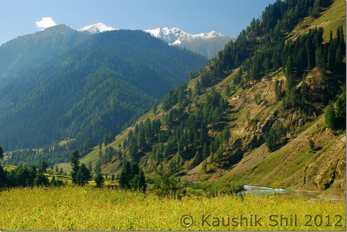
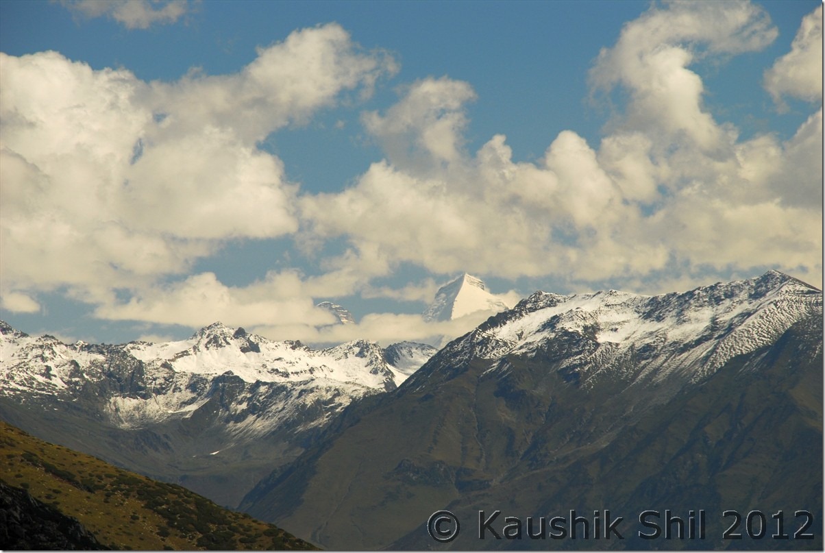
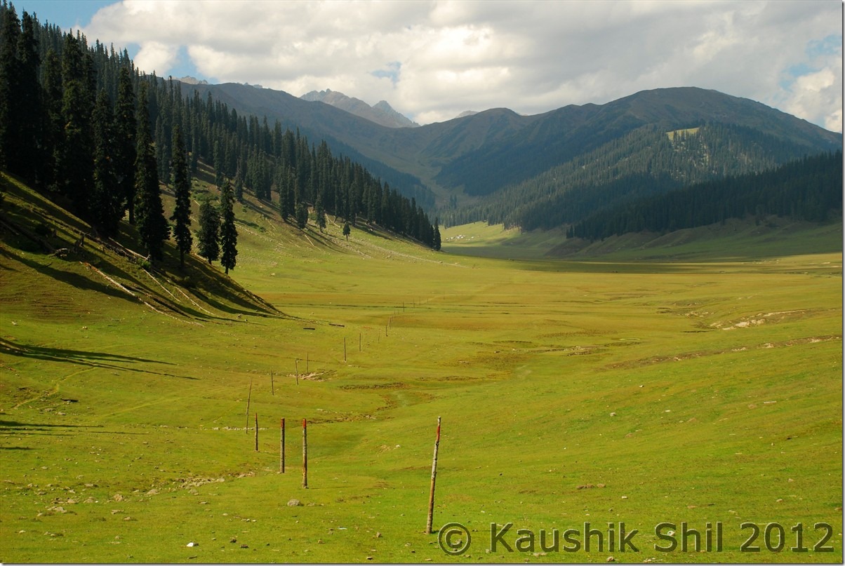
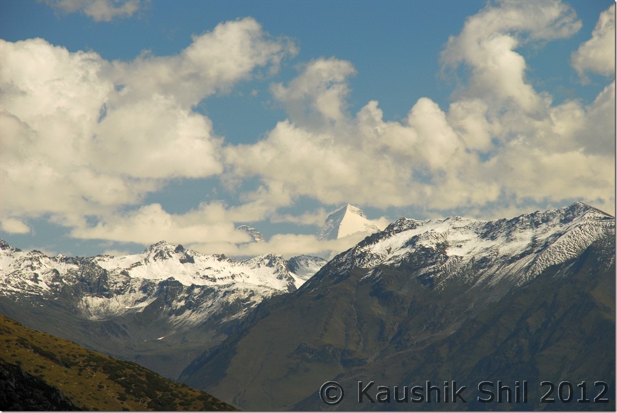
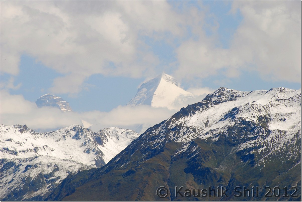
We woke up early and soaked ourselves in beauty of Warwan valley for one last time, army once again was ready with their breakfast for us (this is really something new I have experienced where Army was so kind and helpful). Again the day would be long, so wanted to start early, same winding road keeping the valley and Dariya i Chenab beside us, was slowly taking us to Margan Top. 2 days back when we came, it was almost evening, today morning the same road in bright sunlight was looking awesome!! Sheppard taking the herds of sheep, narrow winding road turning upwards, dense forest in between, unnamed waterfalls flowing across the gravel road, made the whole surrounding mystic. After 2 hours of drive, we finally reached the Margan Top and just before the final turn of the pass, in our left Kazim first spotted the Nan-Kun Peak at a distance. The pyramid shape is unmistakable. In spite of few clouds we could enjoy the full view of the peak from back side of it, last year we have seen these duos from other side at Zanskar, this time it was great view from Margan Top. We took usual stop at top, had some pictures but still had to go a long way, so started our downwards journey from Margan Top. I would someday be back to explore those python infested glacial lakes in the top of Margan Pass .

Nan-Kun at a Distance:

DSC_0303

Nan-Kun Up-close:

DSC_0304

At Margan Top:

DSC_0306 DSC_0311 DSC_0314

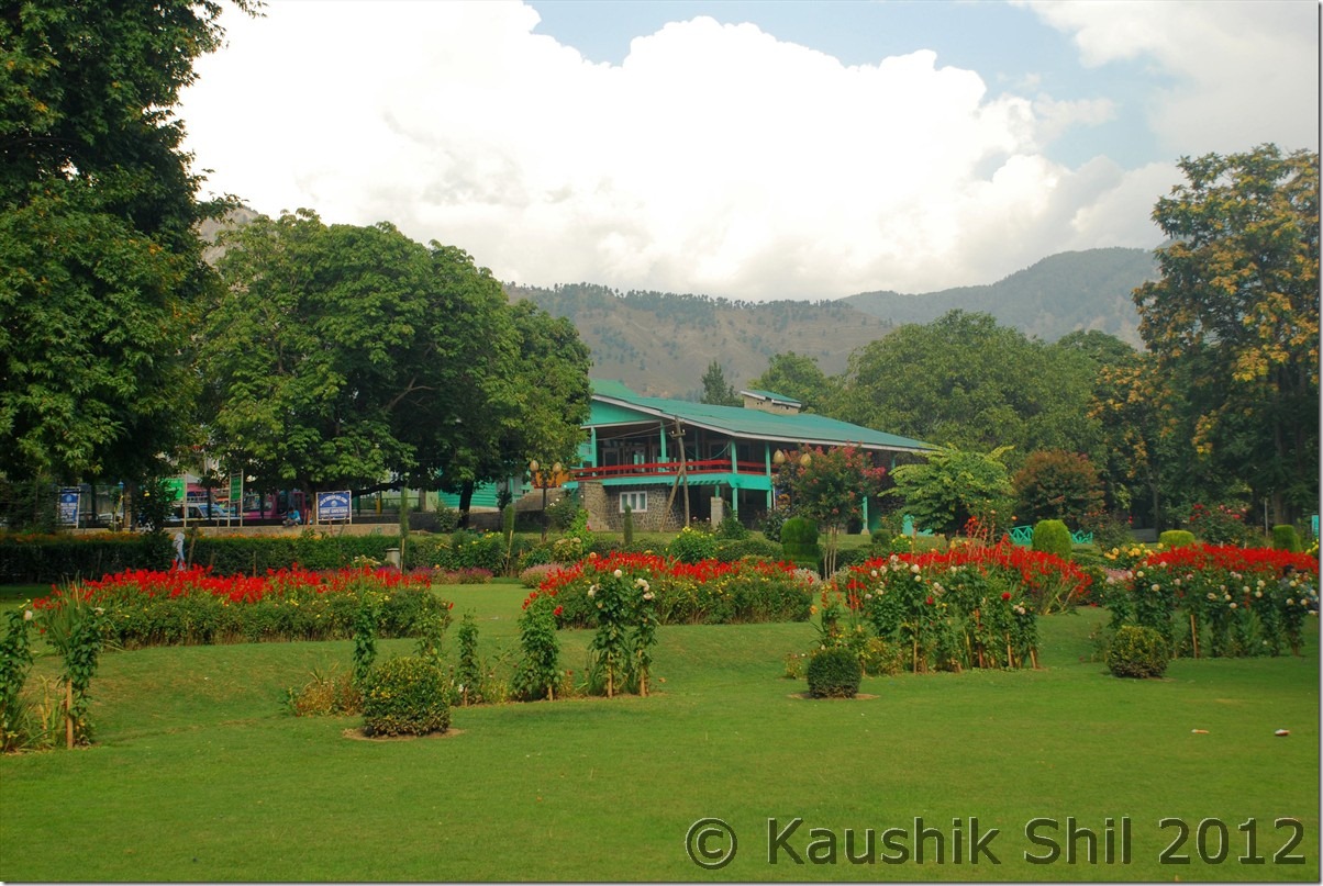
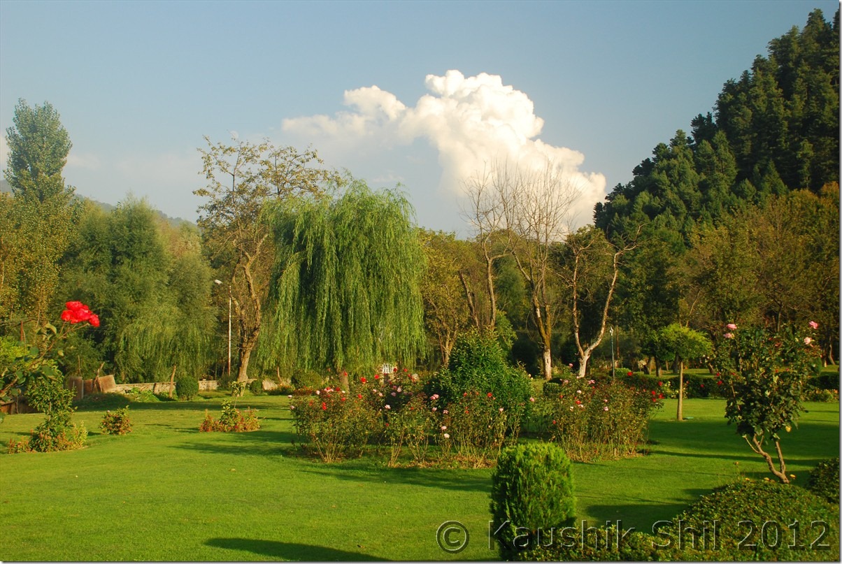
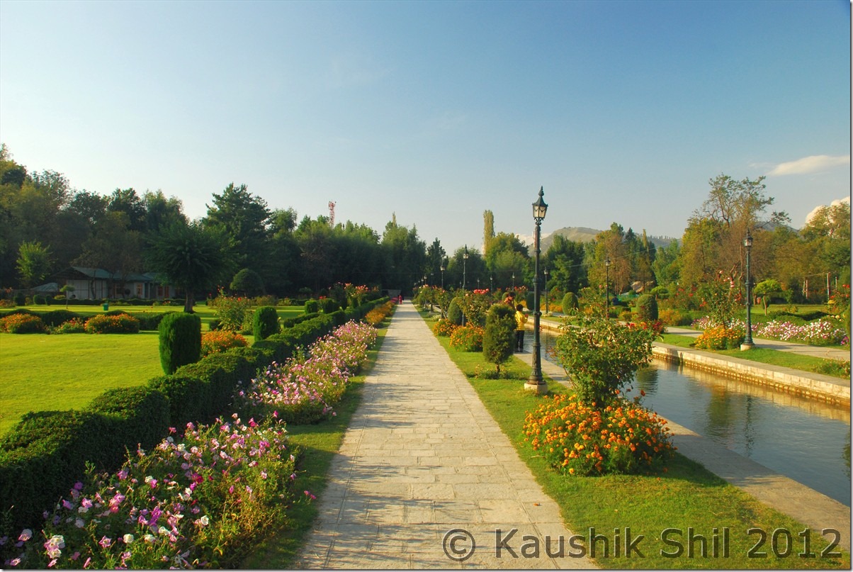
After winding down for 24 km, we came back to same army post, they asked us how was the visit, we were really overwhelmed by the beauty of Warwan, expressed that and they asked where we were heading next, when heard Handwara and Kupwara, their smile disappeared, they suddenly became serious and advised us to take care as those are really disturbed part of valley according to them. Keeping in mind the uncertainties and more so on permit, we kept going and soon reached the black topped road after more than 48 hours. We crossed Valioo and reached Kokernag, tried to have a quick look at the garden, it was good but really crowded even on a weekday afternoon. We took half an hour break there, sat in the corner of the garden, were enjoying the splendid garden and also the people who were having fun times there.

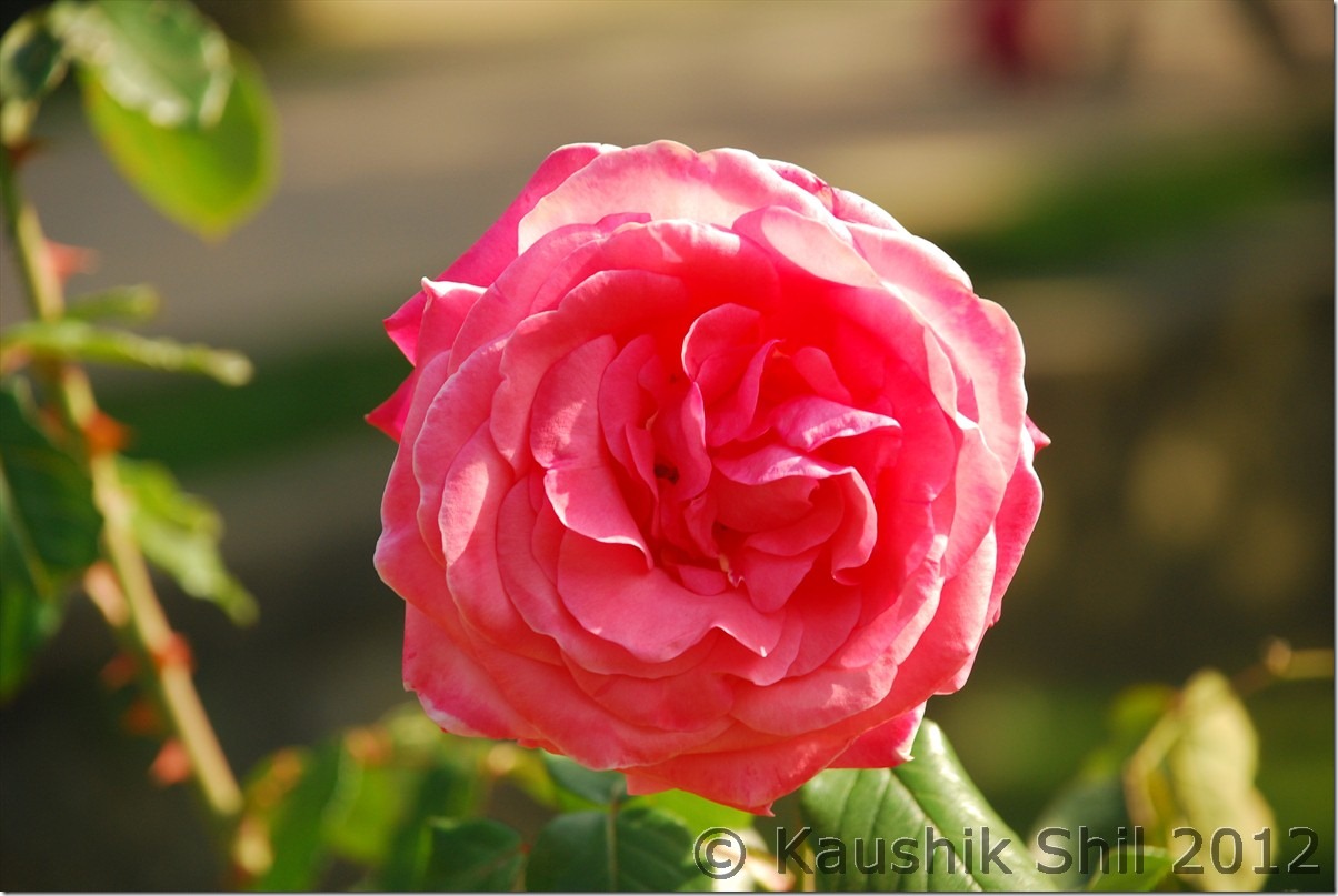
Kokernag:

DSC_0319 DSC_0331 DSC_0332 DSC_0338 DSC_0340

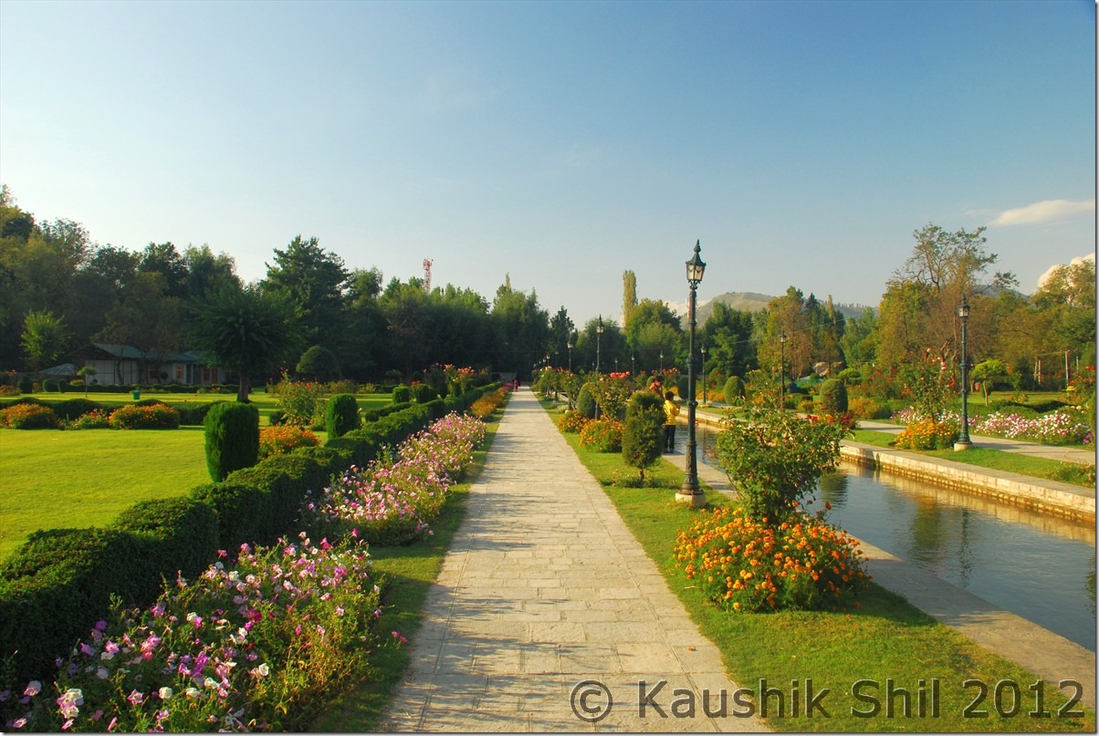
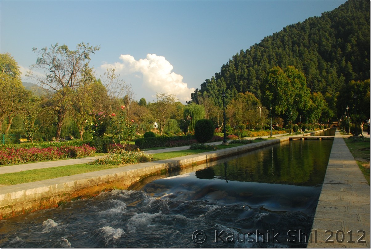
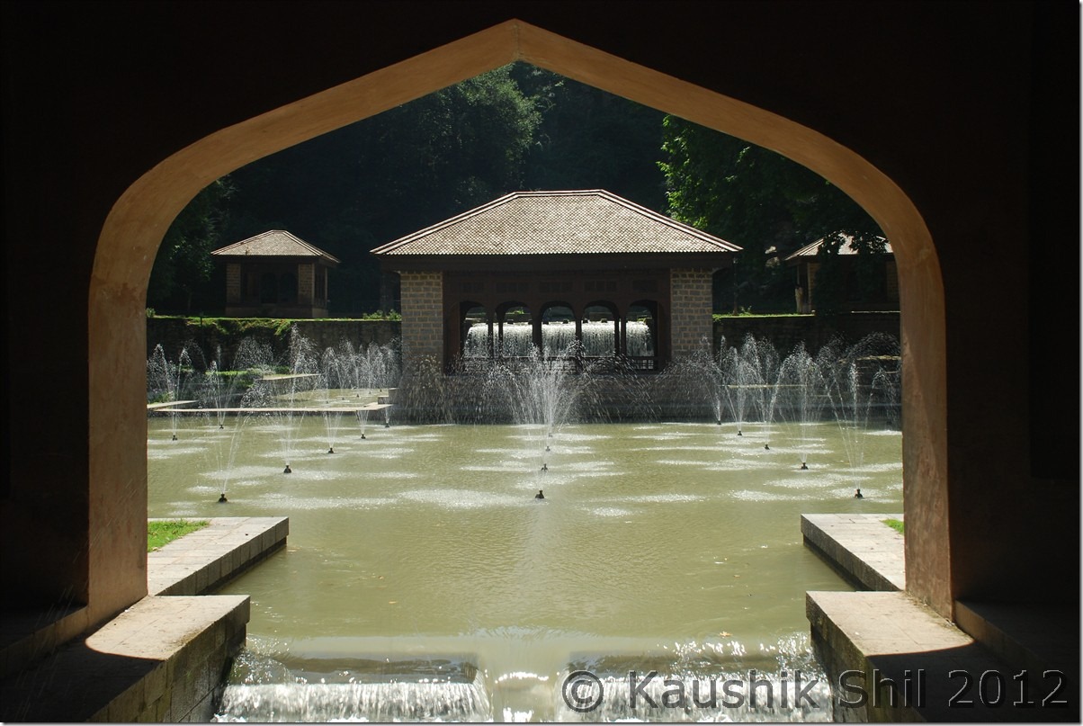
The journey resumed and first thing Kazim did was taking a car wash and it was really necessary after the 2 days long Warwan affairs , our next destination was Verinag and as we understood, we can take a short cut in left without going all the way back to Anantnag. The left turn took us in a nice narrow valley simply full of apple orchards, it was just a village road (kind of a link road it seems) but very scenic, we reached Verinag around 5 in afternoon but the garden, the stream, flowers and mostly its location just in the middle of hills would make it feel special, indeed this is the best garden so far we had seen in Kashmir Valley.

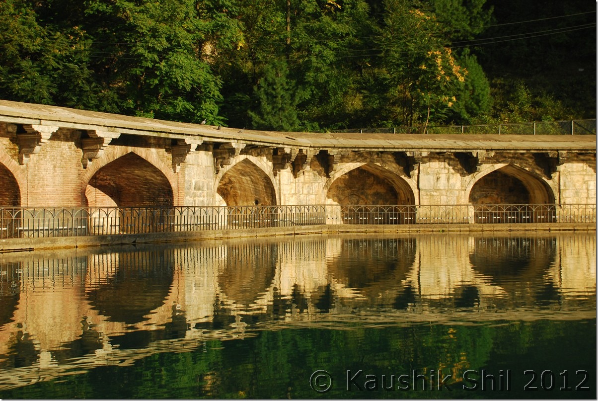
Source: Wikipedia – Verinag spring which is in Verinag town issues from a high scarp of a mountain spur, and is considered the source of the river Jhelum. It is situated at the bottom of a hill covered by pine trees and evergreen plants. The Mughal Emperor Jahangir constructed an octagonal tank of sculptured stones around the spring for which carvers for were brought from Iran. A garden was also built by Jahangir next to this natural spring which is of pre-Islamic religious significance. The construction date of the octagonal tank and the garden is 1029 Hijri or 1620 A.D. is duly inscribed on a stone slab built into the southern wall of the spring. The water is collected in a pool surrounded by arched recesses, and then flows down a 300-yard canal to the Bihat river. Jahangir wished to be buried at Verinag gardens, but his wife, Nur Jahan, disobeyed his wishes. Today nothing remains of the pavilions which once decorated the area. According to a legend, goddess Vitasta(Jhelum) wanted to take rise from this place, but it happened that when she came, Shiva was staying here, whereupon she had to go back and then she took her rise from Veravurthur, a spring about a mile to the north-west of this place. Virah in Sanskrit means to ‘go back’ and ‘nag’ means a water spring and, as Vitasta had to go back from this place, it came to be called Virahnag or “Vernag”.

Here are few snaps on what we have experienced there in Verinag.

Octagonal Tank at Verinag:

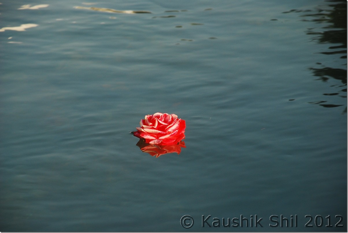
DSC_0347

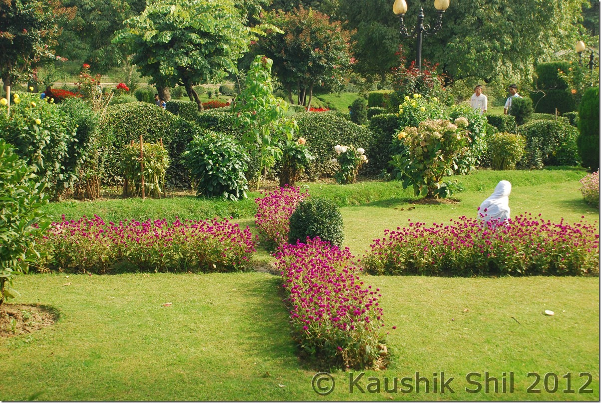
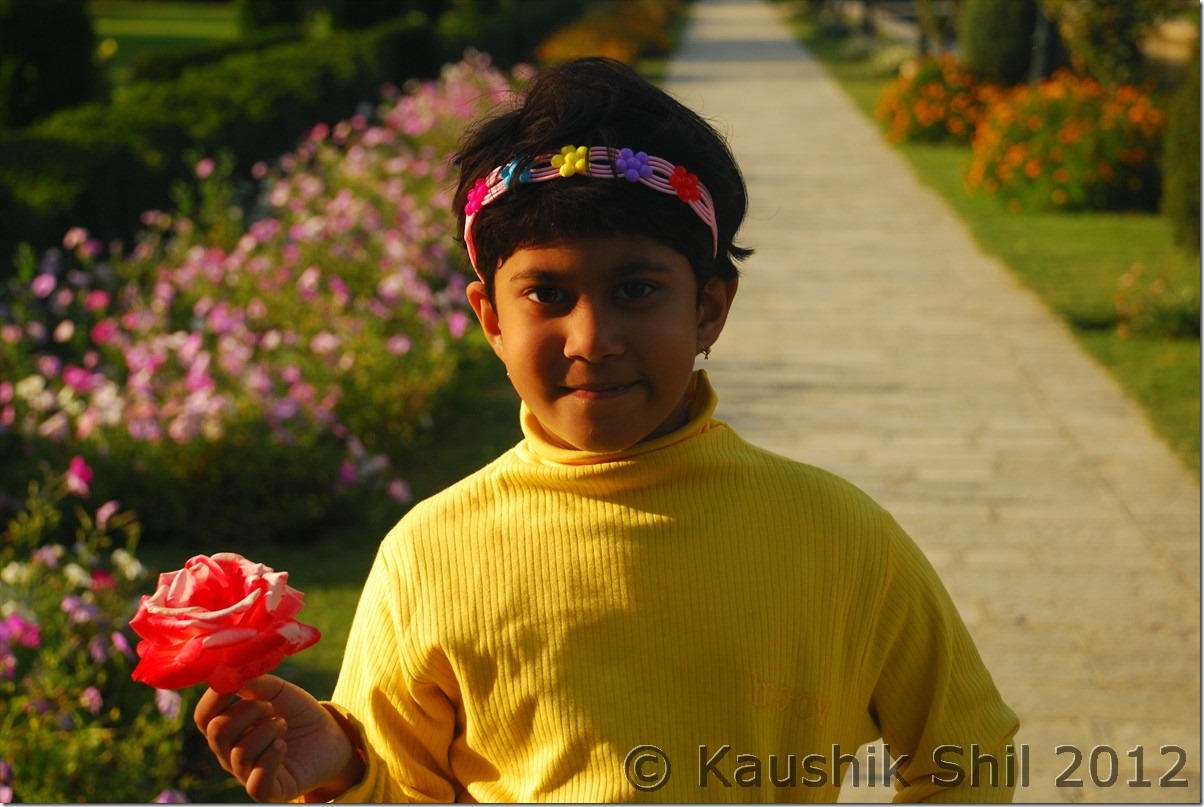
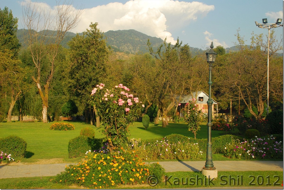
Verinag Garden:

DSC_0354 DSC_0356 DSC_0358 DSC_0359 DSC_0363 DSC_0364

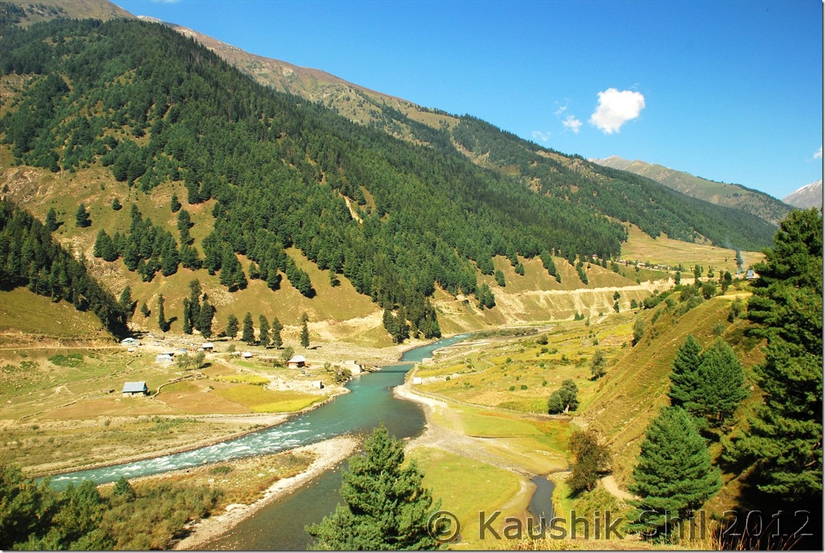
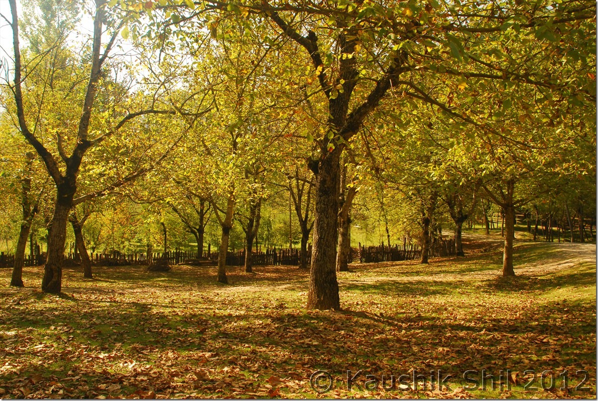
When we finally left Verinag, it was already 6.00pm, From Verinag one road goes left straight towards Quazigund but somehow Kazim knew taking that route would need tolls to be paid, he somehow managed to get another road which would take us up at Quazigund but just after the toll plaza. So he took that route, we wasted some more time and finally hit the Jammu Srinagar highway and the wide road was really a break after the broken roads of Warwan. At Wanpu we left the NH and turn left towards Sophiyan / Kulgam. It was another 13 km till we reached Kulgam and then 30 odd km of night drive took us to Aharbal. We initially could not locate the Tourism GH as it was one km further into the forested road but Shaukat Saab, caretaker of Aharbal (again his number was provided me by Amit) was constantly in touch with us and guided us to the guest house over phone and we were greeted with warm welcome there by the GH Staff, they were all very good and courteous and the GH was one of the best I have seen in JK tourism in terms of location and staff. We were the only guest that night and got the full attention. Once again I was terribly missing my camera stand and the full moon night outside made a magical charm on the whole ambience. Suddenly from the remoteness of Warwan to the comfort of Aharbal with electricity, geyser, hot water, friendly staff yet quite remote and pure blissful ambience was a great transformation for us. During dinner we had the bad news broken as because of President’s visit, Huryiat Conference had called for 24 hours valley strike on next day. Next day 27th Sep, we were supposed to be at Dudhpathri, now after discussing with locals and considering the fact we had to go through few potentially disturbed places like Sophiyan and Pulwama, we were forced to change our plan. Called up Khan Saab, CEO of Dudhpathri Development Authority and he also advised us not to make any movement, Aharbal guys were more than happy to host us for another day and we took it as blessings in disguise, as we needed a break too after hectic journey of Warwan and the place Aharbal is too tempting to stay for another day.

27-Sep-2012

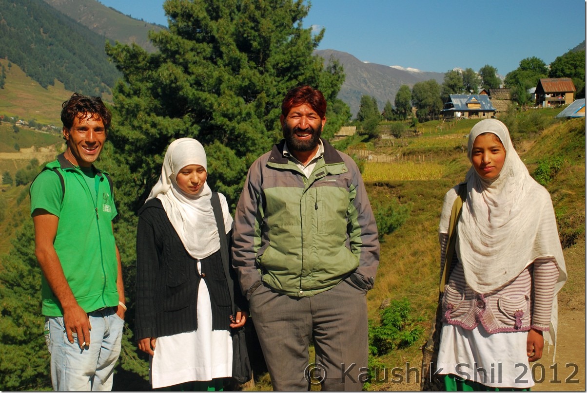
This is absolutely a day of rest, very unlikely and unusual for our kind of trip, where we visited just the Aharbal falls a km away from GH and relaxed the whole day in the GH. As it was a strike day, many local families came to visit the place, I got introduced to a lady who was a teacher of local school and we had a long discussion on the current situation in Kashmir. She mentioned she didn’t think Indian Govt or especially Indian Army treat them well, she said still to visit her school from her home a barely 5 km of journey, almost every other day army challenged her identity and asked her to show her face removing the veil and that too in multiple locations. I am not getting into an argument how far that’s required considering current situation of Kashmir but yes it’s really irritating if you have show your proof of identity 5 times a day and if you somehow forget to take your I-Card, you might end up loosing a working day, may be it’s not a comfortable situation to live in there. She explained sometimes in disturbed days, they had to give shelters to militants as those guys were armed and simply threatened to harm the kids if they didn’t listen but next day army would come and would harass them in a bigger way without considering the fact that you really couldn’t stand against a gun. But one thing for sure they have understood the futility of these so called armed struggle that perished their one whole generation in last 25 years, every common people now wants peace except a few with some other motives.

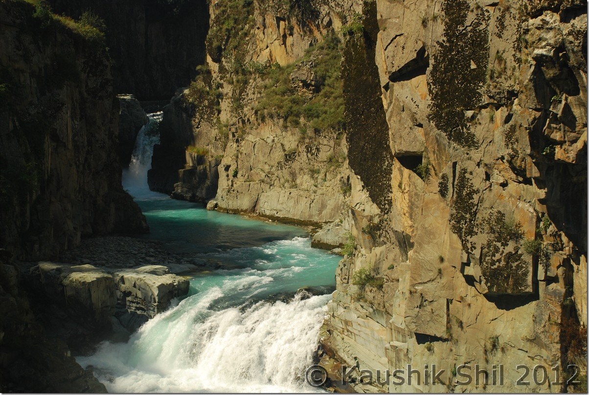
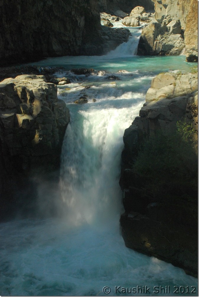
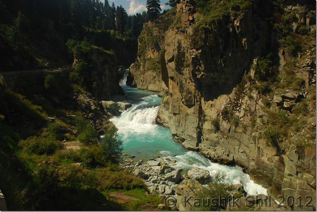
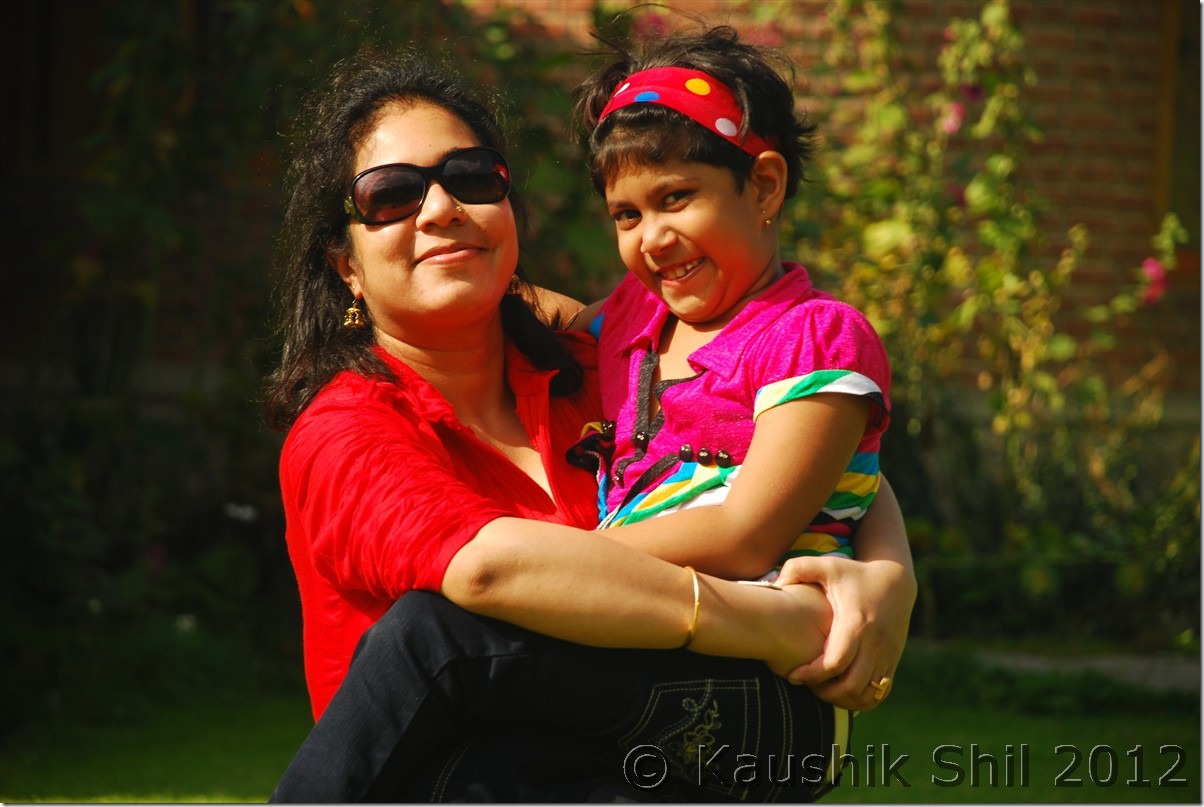
Going back to nature, we gone to Aharbal falls, pretty close to the GH and though the waterfall is only 20/25 ft height, the volume of water and the narrow gorge would keep a lasting impression in your mind, yes Aharbal should be in a must visit place if you visit the valley. The deep blue water gushing across the narrow stiff cliffs of rock was a view to enjoy. Rest of the times we spent in the sprawling lawns of the Guest house, my kid enjoyed most running there. I would be back at this place sometimes in future for the famous trek to Kausarnag. I was started feeling nervous a bit as tomorrow would be a very big day, first we have to meet SP, Tourism at Srinagar for Gurez Permit and then from SP Handwara we have to collect the Bangus Permit before we can stay the night at Reshwari. The situation was more complex as we have no spare day left as we lost a day due to strike here at Aharbal.

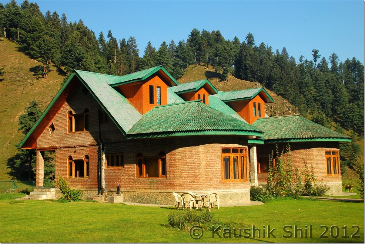
Awesome JK Tourism GH at Aharbal:

DSC_0369

Aharbal Falls:

DSC_0384 DSC_0390

The river gushing through the deep gorge:

DSC_0409

Relaxed evening at Aharbal before a tensed day ahead:

DSC_0448

Previous: Unexplored Kashmir – Martand Sun Temple, Achabal Garden, Warwan Valley
Next: Unexplored Kashmir – Bangus Valley

Unexplored Kashmir – Martand Sun Temple, Achabal Garden, Warwan Valley
24-Sep-2012

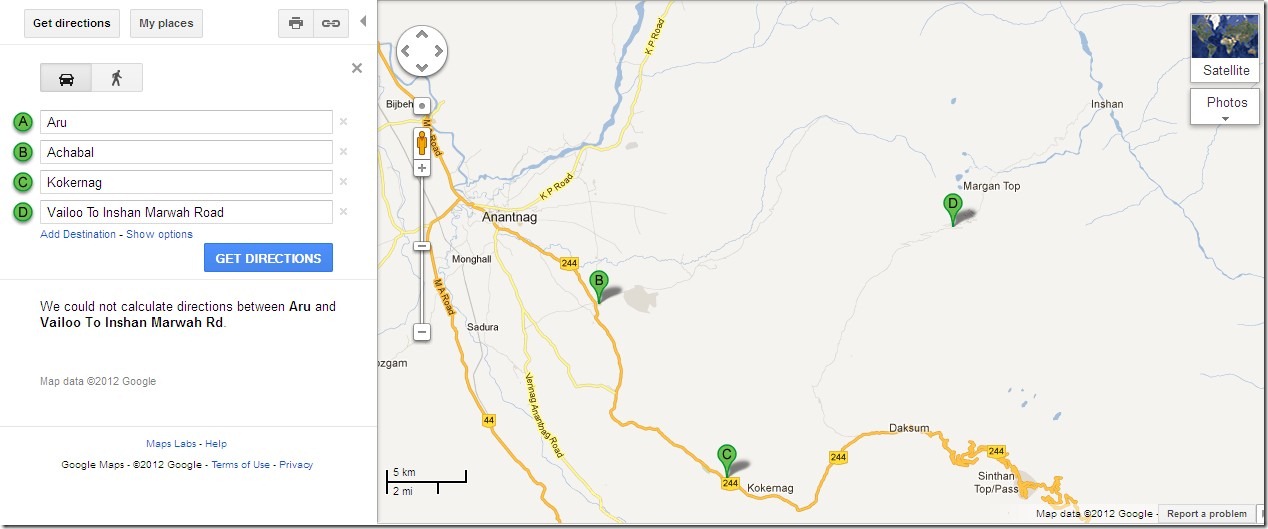
This is going to be an exciting day as we move towards Warwan Valley. It was planned to start from Aru as early as possible and proceed to Martand Sun Temple and Achabal and from their moving to Kokernag and subsequently towards Warwan via Margan Top. A Google map is attached for better understanding but it might not be showing it very accurately.

Kokernag - Valioo - Margan - Inshan

We knew it would be a long day and so started early. Basheer, the guy from JKTDC Aru accompanied us as he was going home little beyond Pahelgam. The same guy whom I didn’t like much in last 2 days while staying at JKTDC Aru, became a different man all together and while dropping him off, he won’t let us go without having a cup of tea at his place, first touch of Kashmiri warmth and I was thinking how difficult is to make judgment on the people. Basheer’s house is a small one but still under construction, he took us to his nicely decorated guest room and offered us some snacks, cakes, akhrote and of course the promised chay. We requested for Namkeen chay and that’s what he served us. We didn’t understand how almost 45 minutes have been passed chatting with his family but ambience became heavy as he unfolded how he lost his father, brothers and almost all of his family due to the 25 year long militancy. This pensive mood was felt across the valley, you would find almost every family has lost someone or other due to these violent 25 years and they now a days want simply a normal life. Let’s not get into the reason why it happened but reality is it happened and changed their lives for ever, it almost taken away a generation from them and it would need couple of more generations to heal the wounds. We left Bashir’s place and soon after taking a left from main road towards Ananthnag and moved towards Martand Sun Temple.

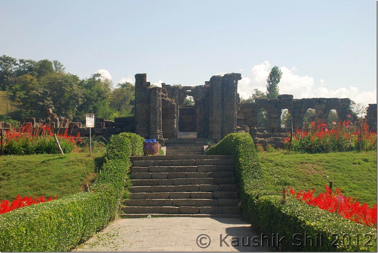
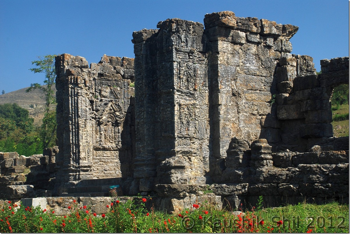
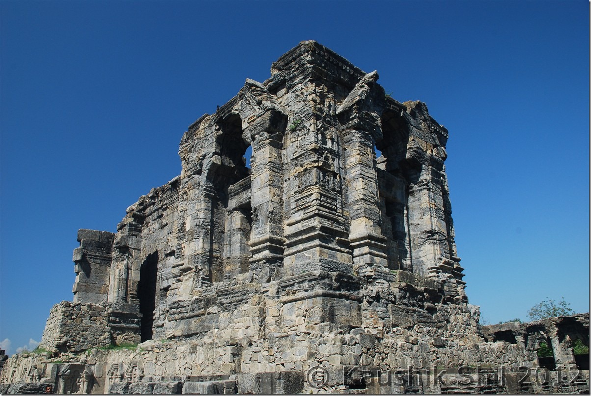
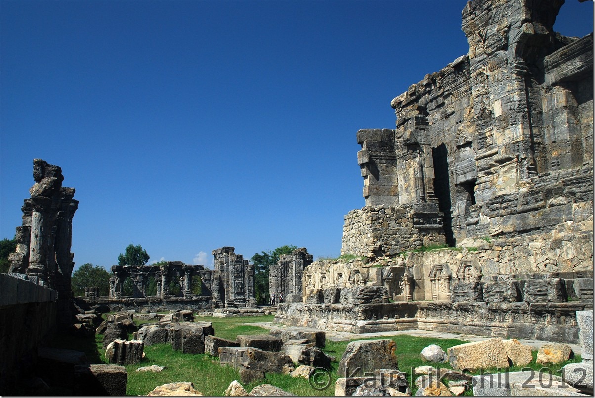
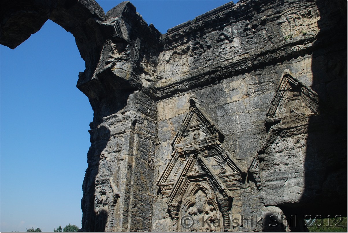
Martand Sun Temple:
It’s more than 1300 years old structure and the ruins would still impress you. Martand is another name of Sun God in Sanskrit. ASI, renovated the whole places and built a nice garden and one shouldn’t miss the place if you go towards Pahelgam.

Source: Wikipedia
History:

The Martand Sun Temple was built by King of Karkota Dynasty – Lalitaditya Muktapida in 8th century AD. It is said to have been built during 725-756 AD. The foundation of the temple is said to have been around 370-500 AD., and also some attributed the construction of the temple began with Ranaditya.
The temple was completely destroyed by Sikandar Butshikan in early 15th century. It took one year for Sikander Butshikan to fully damage and destroy this Martand temple.
Architecture and style
The temple was built on top of a plateau from where one can view whole of Kashmir Valley. From the ruins and archeological findings, one can say it was an excellent specimen of Kashmir style of architecture, which had blended the Gandharan, Gupta, Chinese, Roman, Syrian-Byzantine and Greek forms of architecture. This beautiful Martand temple has a colonnaded courtyard, with the shrine in its center, which is 220 feet long and 142 feet broad. It was surrounded by 84 small shrines.

Martand Sun Temple:

DSC_0120 DSC_0121 DSC_0127 DSC_0129 DSC_0135

Achabal Gardens:
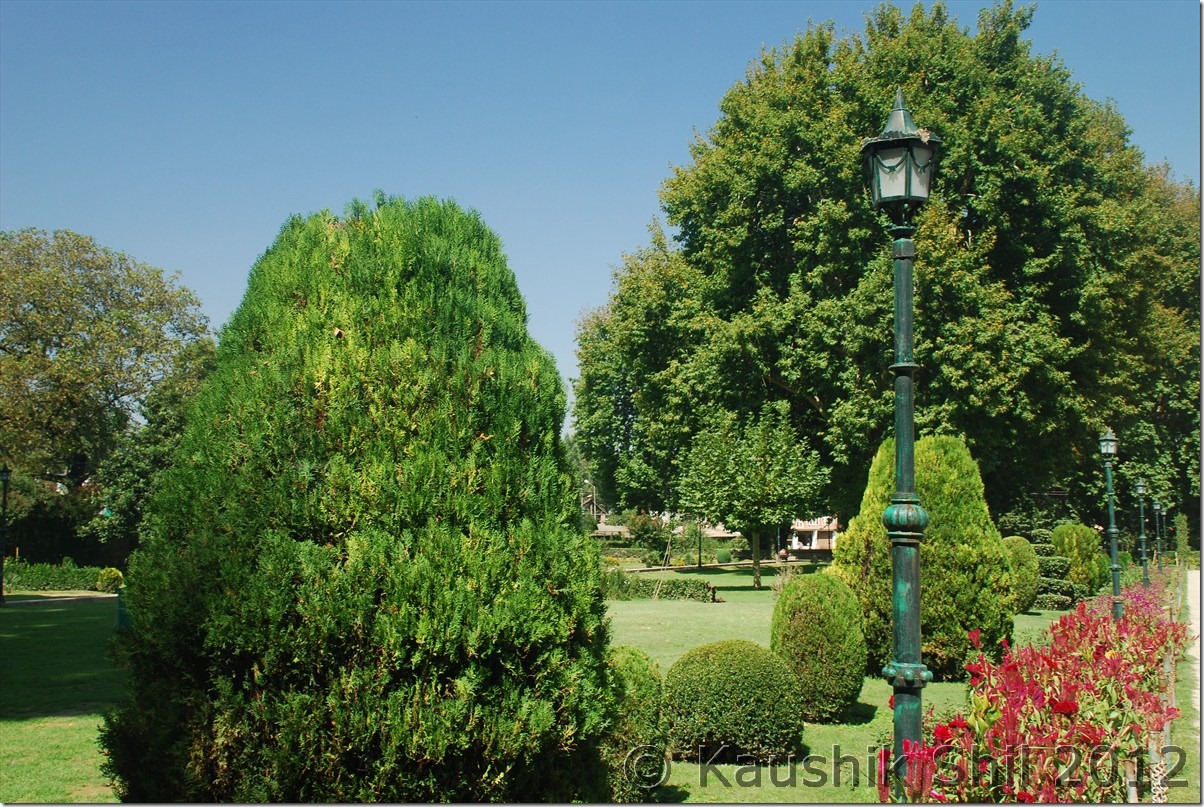
We spent some 30 minutes and enjoyed the beauty and architecture before moving towards Achabal Garden. I didn’t find it that impressive compared to Kokernag or Verinag but may be because I was there in wrong season, I heard these gardens look awesome in spring season with lots of flowers.

Source: Wikipedia
It was built about 1620 A.D. by Mughal Empire Emperor Jahangir’s wife, Nur Jahan, called the “greatest garden lovers of them all.” The garden was rebuilt on smaller scale by Gulab Singh and is now a public garden. A main feature of the garden is a waterfall that enters into a pool of water.

Achabal Gardens:

DSC_0140 DSC_0141

Warwan Valley
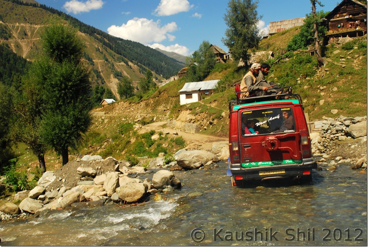
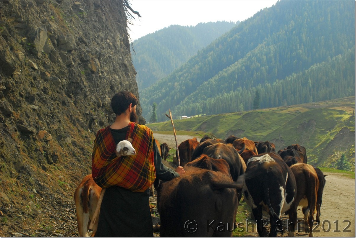
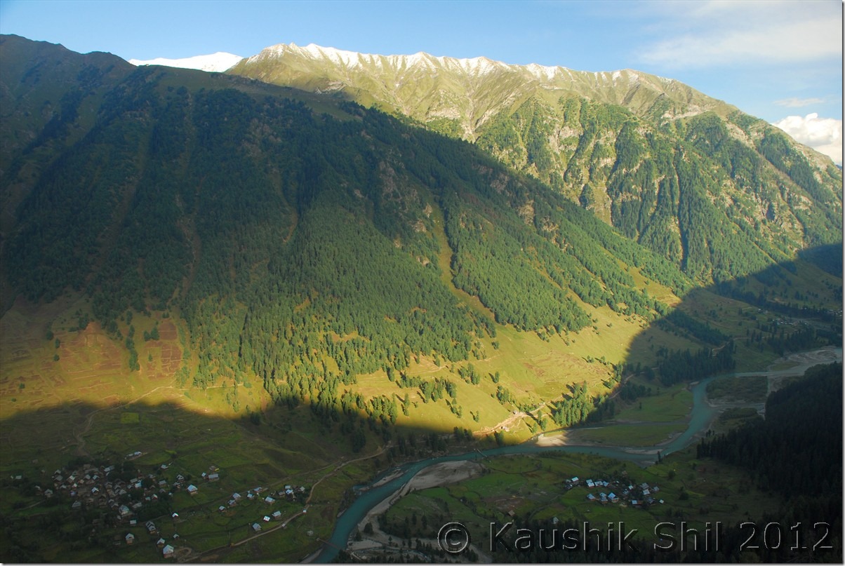
It was almost 12 noon when we left Achabal gardens and realized by then we were running late, considering we have to cross Margan Top and drive 48 km of very bad to worse roads across the Pass to reach Warwan Valley which was still 100 odd km away. So we skipped lunch and skipped Kokernag garden too, keeping it for return leg started our drive towards Warwan Valley. Kokernag is located on NH1D which connects Jammu to Kashmir Valley via the alternate route through Kishtwar and Simthan Pass. We drove for another 12 km on NH1D which is an excellent road through Vailoo before taking a left turn towards Margan Pass via Mattigaoran. The landscape was beautiful with wide valley colorful with gold and green encircled by mountain ranges. The road turned ok from excellent as we left NH1D and subsequently started turning bad and tar road completely vanished when we reached Mattigaoran after another 15 km from where we left NH1D. From here onwards, roads are only having loose gravels, boulders, water crossing and I could easily understand how bad it could be during monsoon when Amit attempted this road. Kazim, being an expert driver, was also little tensed and we could see the ascent and could count up to 15 loops on the top. It’s a long 24 km arduous climb towards pass that would start just after an army check post where your car details would be entered. The road gets worst around 6 km away from top and we had to literally clear the boulders from road to save the low GC Innova from underbelly hitting. It’s around 4.00pm we finally reached the top and frantically trying to locate Nun-Kun peak which we heard could be seen from top, but it was cloudy and even some light snowing started in the other side of the pass, we didn’t wait much on the top but the vast landscape with all snow peaks around made it surreal. We later heard from army, there are three extremely beautiful alpine lakes those could be trekked within an hour from M-Top but all of them cautioned us not to go without a group as they have encountered huge Indian Rock Pythons in that areas. Not sure how much truth was there but locals said there were a few incidents of people got vanished while trekking in that region. Anyway as we started our descend from pass we discovered the road is much better in this part, reason primarily is the road up to Margan Pass was built way back in Mid Eighties but the road was not connected to Warwan Valley. Mufti Govt., in 2008 connected the road to Inshaan at Warwan Valley from Margan Top but the road built earlier was not re-laid and as a result the road in Daksum/Valioo side is in worse condition that what it is in Warwan valley side.
On the way to Warwan Valley:

DSC_0146 DSC_0151 DSC_0158

At Margan Top

DSC_0162 DSC_0163 DSC_0167 DSC_0170 DSC_0171

First look at Warwan Valley – Simply Magical:
DSC_0182

We finally reached Inshaan around 6.00pm as evening approached by that time. Inshaan is having only 2 accommodation options, one is the dakbunglow which militants burnt during those days of turmoil, it is being rebuilt but not yet completed. The only other option is a Forest Rest House which falls under DFO, Marwah region, where there are 2 small rooms only. There is no electricity, landline phone available in Inshaan, it’s raw and rustic nature you would enjoy once you reach there. BSNL built a mobile tower but because of electricity issue that is not yet in operation. I have spoken to DFO, Marwah, Dr. Anand, a very nice gentleman and he assured me a stay in Forest RH for 2 days. To book Inshaan FRH, you have to speak to DFO, Marwah and please note as there is no telecommunication in place, you have to book atleast a month in advance, so your booking information can reach the Caretaker of the Forest RH. All VIP, MP, MLA stay only in this FRH as there is no other Government places to stay in whole Warwan Valley, so there is some uncertainties always involved incase of VIP Movement. But the people in the valley are so good and warm hearted, I personally think you would never find it difficult to have a stay there with locals if you wish so. We met the caretaker Abdur Rahaman there and the he was sadly down with flu. Initially he was little cold towards us may be because of his health but it’s Kazim who slowly took the control of the situation, offered to cook for the night and request him to get a chicken for us. Meanwhile my wife being a doctor came into help in making Rahaman fit with some medicines. He soon became active, made a great namkin chay and served that with biscuits, after a long and hectic day those were really a wonderful break. Rahaman was a very easy going person, initially scared us by asking for “koi to ek nishan chod ke jao” while taking my wife’s sunglasses (later Kazim told him it was for ladies) and sometimes wearing my Quecha Trek shoes, made me begging that I brought only single pair of shoes there. He became very friendly with us soon and Kazim that day cooked one of the best chicken dish I ever had, a candle light dinner, in the full moon night with Kazim’s handmade chicken and rice made it a wonderful end to a very tiring day. Just outside the hut, bakhrewalas taking their herds of sheep towards Margan pass as I heard from them, night movement usually be much easier because of almost zero traffic. The full moon lit valley with sheep moving in the winding roads of Margan Pass, the river Dariya i Chenab flowing like a silver lining with its gushing sound, the snow peaks of Zanskar and Pahelgam/Seshnag region encircling us casted a magical spell on us. We didn’t know when we gone to sleep finally.

25-Sep-2012:

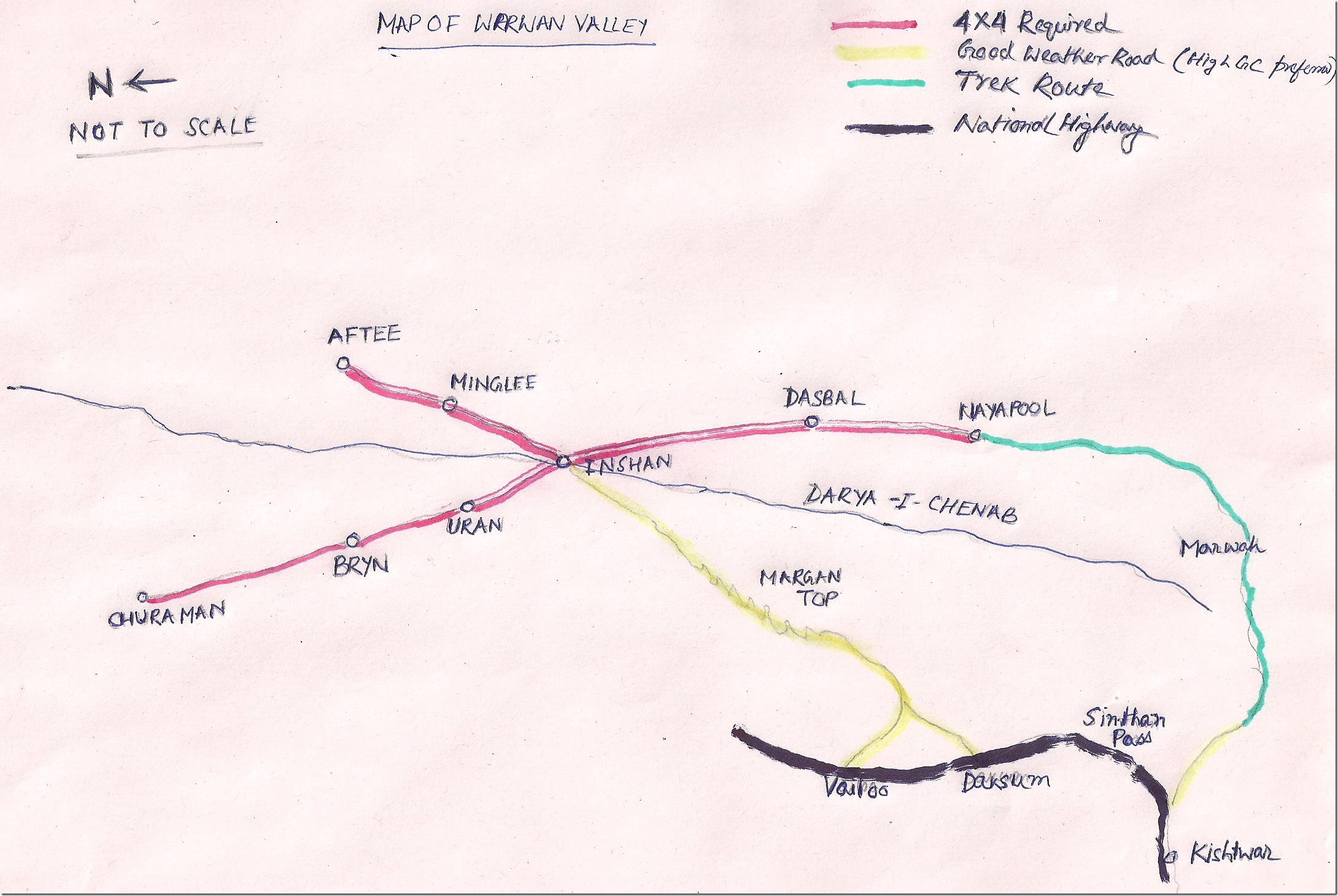
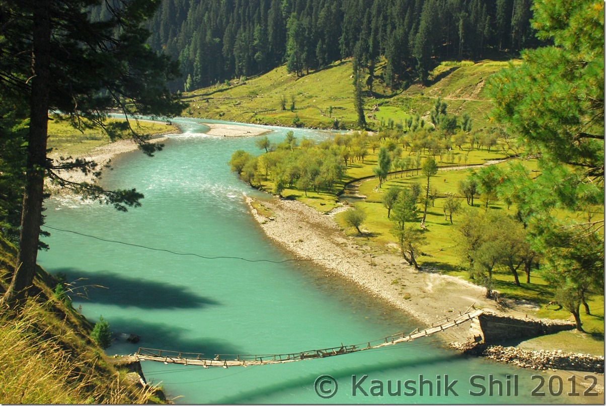
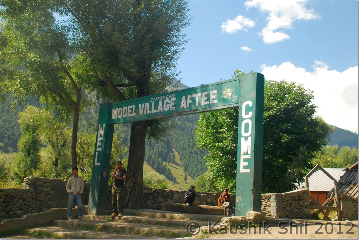
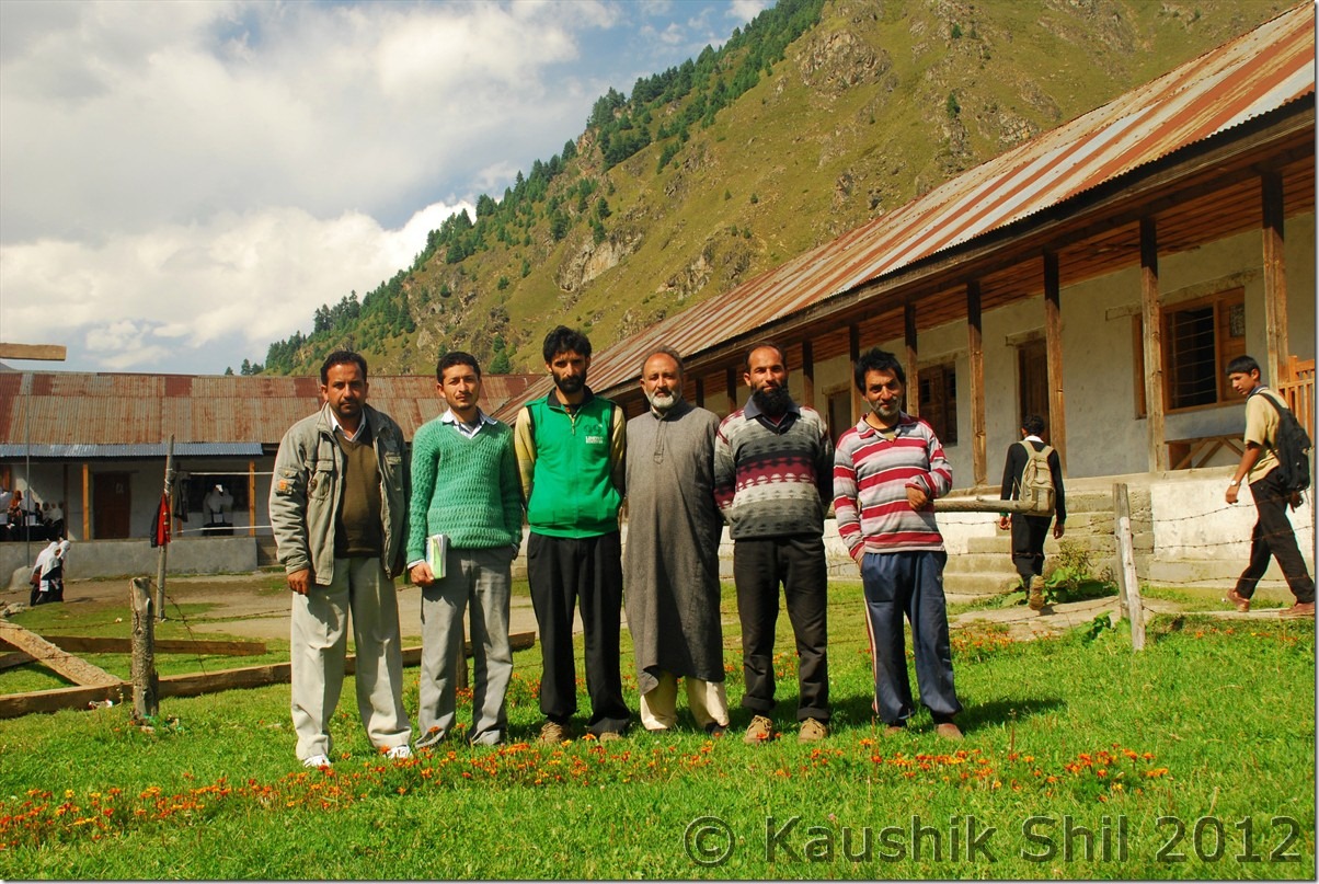
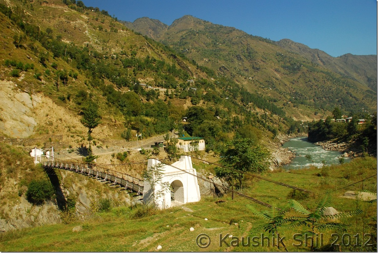
The morning was bright and sunny and the valley was looking amazingly colorful. We came out of the hut and invited by the army to join with them in the superb breakfast of Roti and Sabji. We started chatting with them on the possibility of places to visit but they were really surprised to know that we came there just as a tourist. Warwan valley is triangular shaped sandwiched between Pahelgaon/Seshnag range in West and Zanskar Range in East and cut off my Pirpanjal range in south. Across Pirpanjal we can cross it through Margan Top, opened only between May to November. The road from Margan touches the western fringes of the valley. There valley is divided North South by the river Dariya i Chenab which finally meets Chenab at Ramban. There are several footbridges over the river in various places for walking down but only motorable bridge is opened in 2009/10 by current NC Government in Inshan where you can cross the river with a car. So the valley at Inshaan with current roads alignment looks like English letter “X” where Inshan is located in the middle. Refer to the handmade map below for better understanding.

Warwan Map

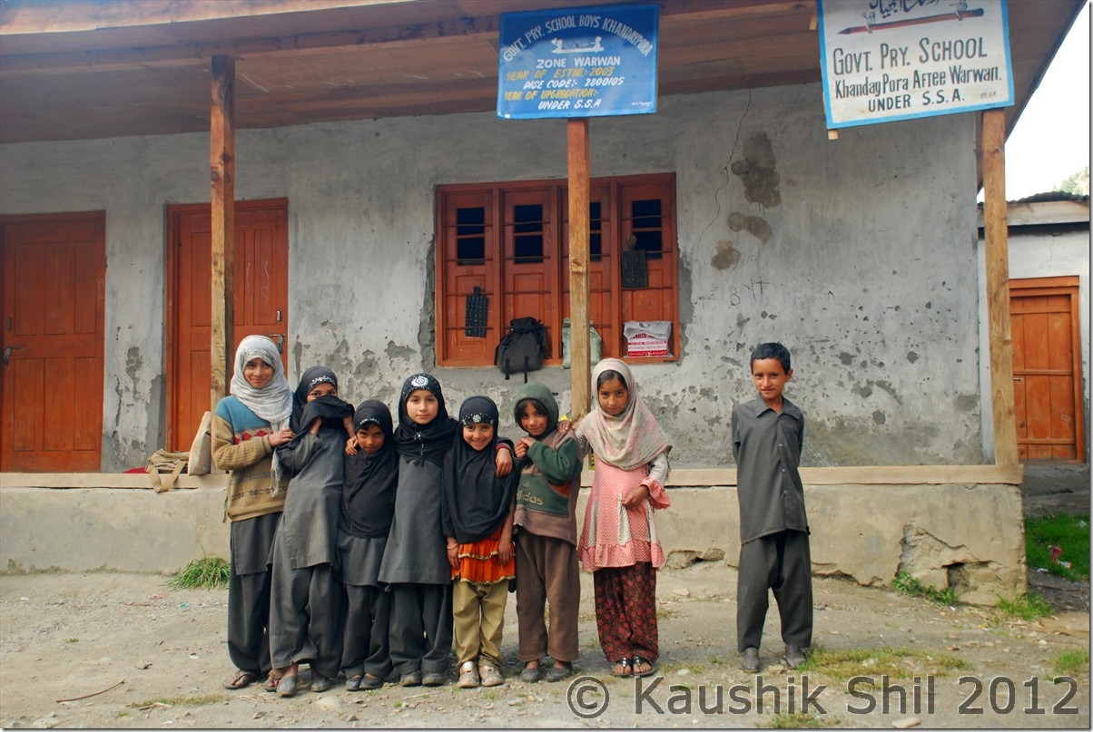
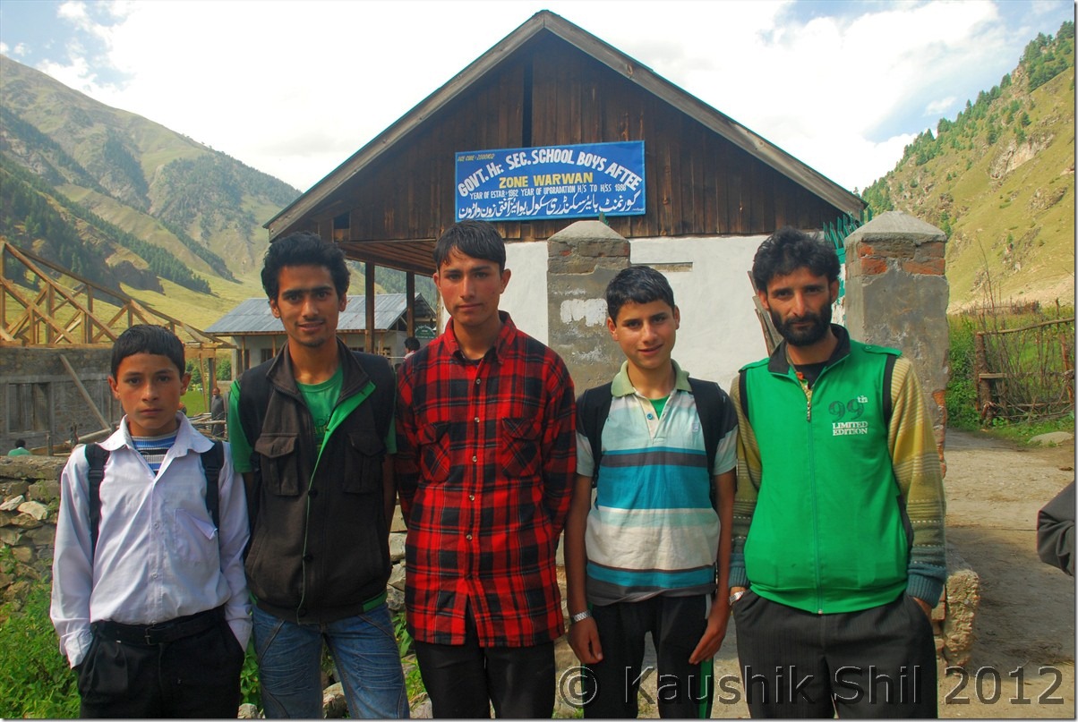
The left (West) lower fork is coming down from Margan Top, only motorable connection of the valley with outside world. the left (West) upper fork is going across several villages like Uran, Bryn and the last village is connected by road is 16km away named as Churaman. As per locals from Churaman, survey of the road till Panikhar in Zanskar was already completed, though no one sure when the actual work would begin. The right (East) upper fork goes through village like Minglee and finally to Aftee around 12km from Inshaan. The road ends there. Aftee is turned into a model village with Sat phone connection which is only operative during day for local, during night it’s for use of Army only, a high school with just 2 teachers and 500 students, a health center which usually keeps under lock and key and doctor comes only during visit of MLA/MP. The big joke in the name of model village indeed!! People there thought we came from press and they took me 500 meters by walk to get a snap of their only high school and closed health center. Reasonable enough, they have lots and lots of grievances against the administration and Government who are too passive there. One of the students who wanted to be an engineer asked me “Sir tell me how we could compete at all India level after plus 2 when we have just 2 teachers for 500 students and we don’t have classes in most of the days”. I had no answer really, felt good that they wanted to come to main stream India but the question is how they could unless Government does its role appropriately. Back to the map, the right (East) lower fork goes to Nayapool via Dasbal village where the motorable road ends and trek route started towards Marwah and then subsequently to Kishtwar. The road work is going on in that side but no one knew when the loop from Kishtwar to M-Top – Inshan – Warwan valley – Marwah – Kishtwar would be completed. Now except the left lower fork of ‘X’ which is coming from Margan top, rest all so called motorable roads are actually for a 4X4 vehicle, so much mud / slush and gravels are there, it’s extremely difficult to navigate those roads with normal cars. As we had a long trip to go, we didn’t take any chance with Innova, hired a local Sumo, which took 1500 for a day to take us through various parts of Warwan. Left upper fork was inaccessible because of a huge land slide a week back, we only covered right upper fork till Aftee (12km) and right lower till Dasbal (10km) and back to Inshaan and it took us 5 hours. Mokhtab was our driver in Sumo, very friendly guy (+919906741384) you can call and enquire about road condition of Margan Pass or anything on Warwan, those who plan to visit by hired car, can contact him as well for a nice trip in every corner of the valley.

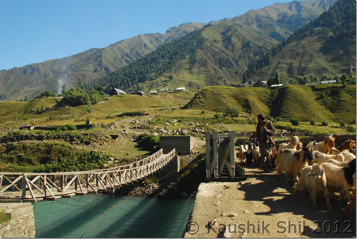
The only Motorable Bridge in Warwan:

DSC_0187

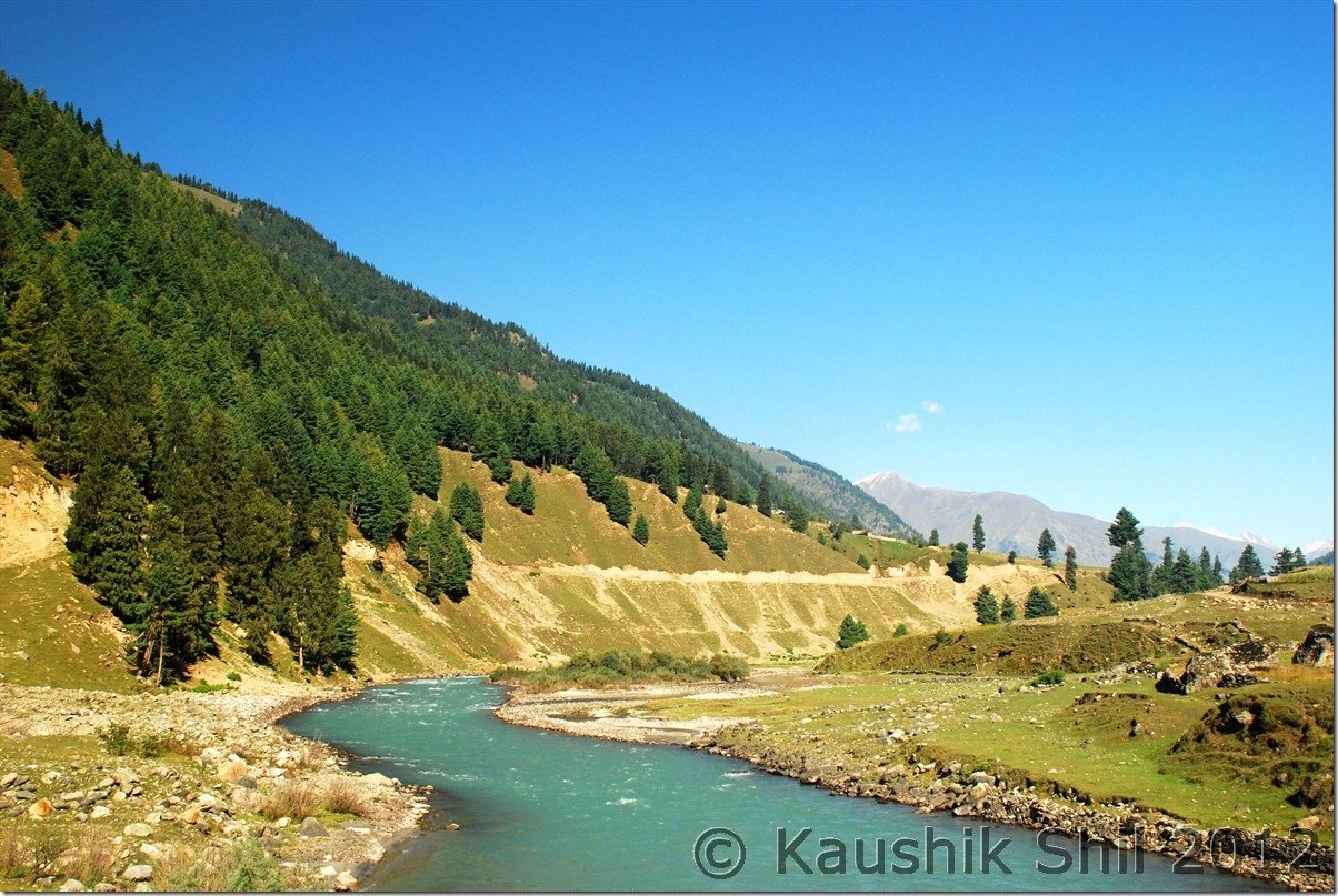
Dariya i Chenab:

DSC_0188

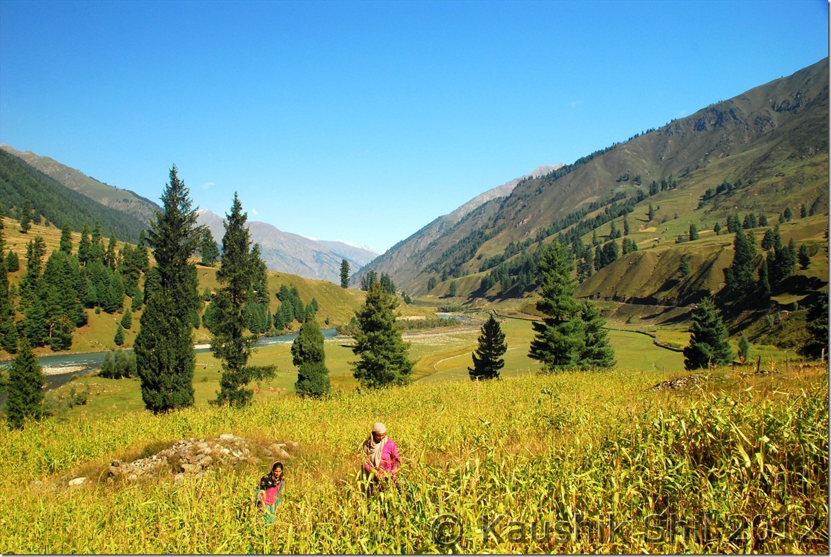
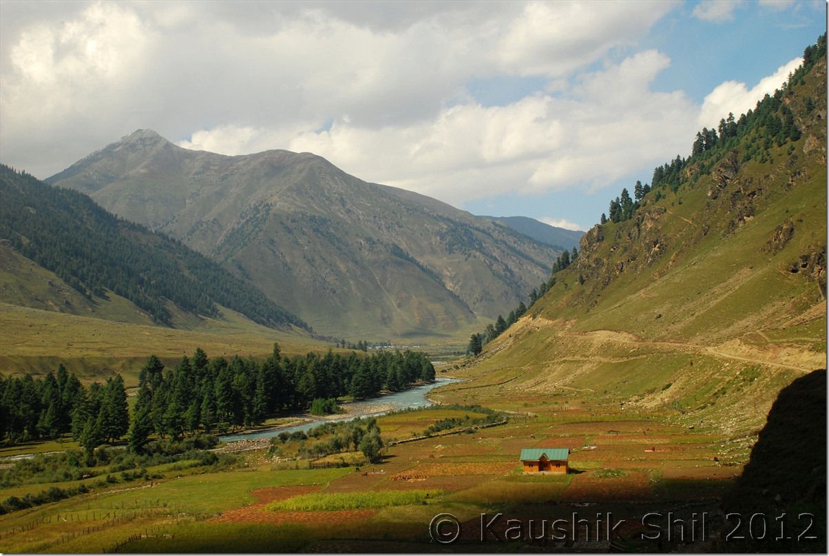
The gorgeous Valley:

DSC_0189 DSC_0194 DSC_0197

Extreme Left Mokhtab and middle Kazim with 2 middle school students in Dasbal:

DSC_0202

Eager to pose before Camera:

DSC_0203

One of the many footbridge over Dariya i Chenab:

DSC_0205

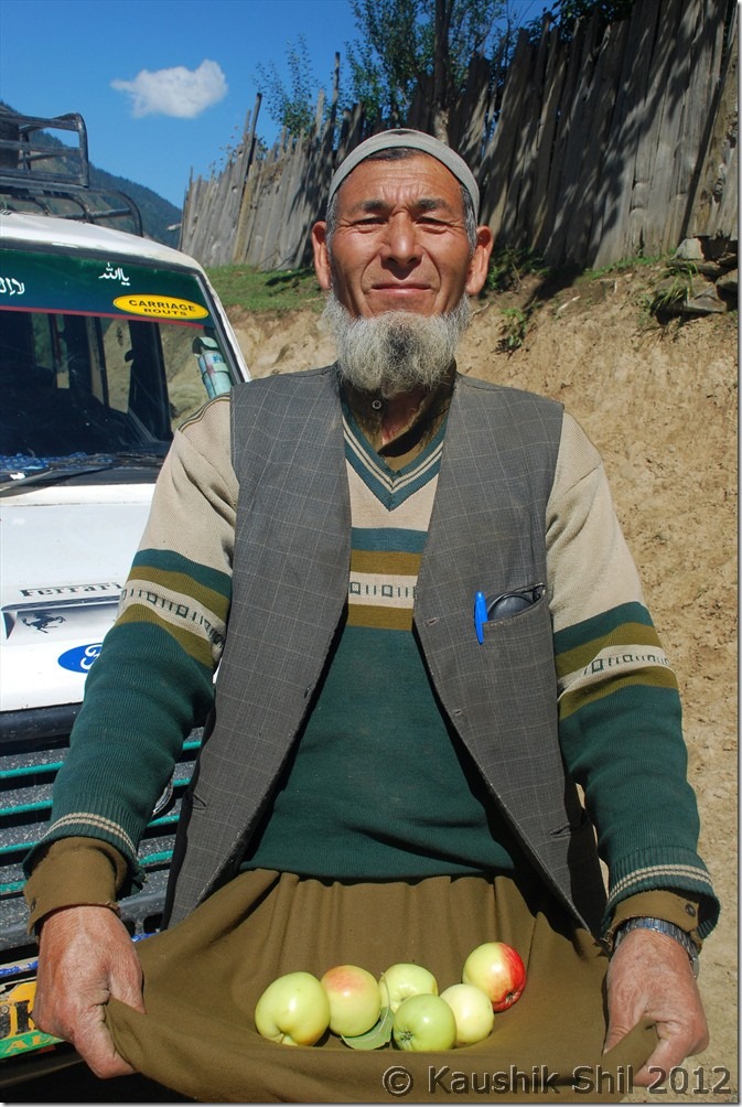
Golam Mohammad Wani – the retired school teacher offering us Apple from his orchard:

DSC_0222

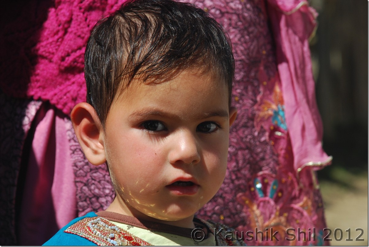
A cute Face:

DSC_0224

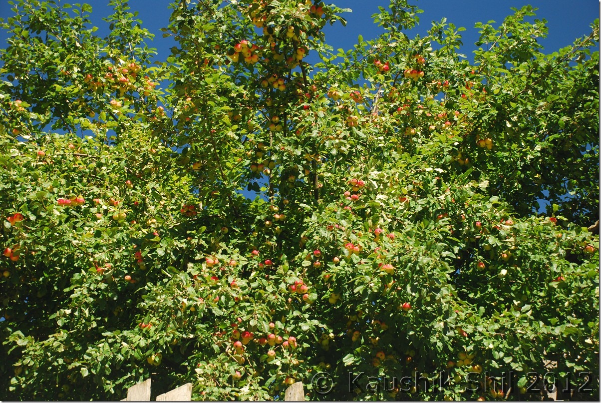
The Apple Tree:

DSC_0225

Golam Saab with family, Mokhtab seen second from left:

DSC_0227

The farm land:

DSC_0239

Roads are all Kachha:

DSC_0243 DSC_0248

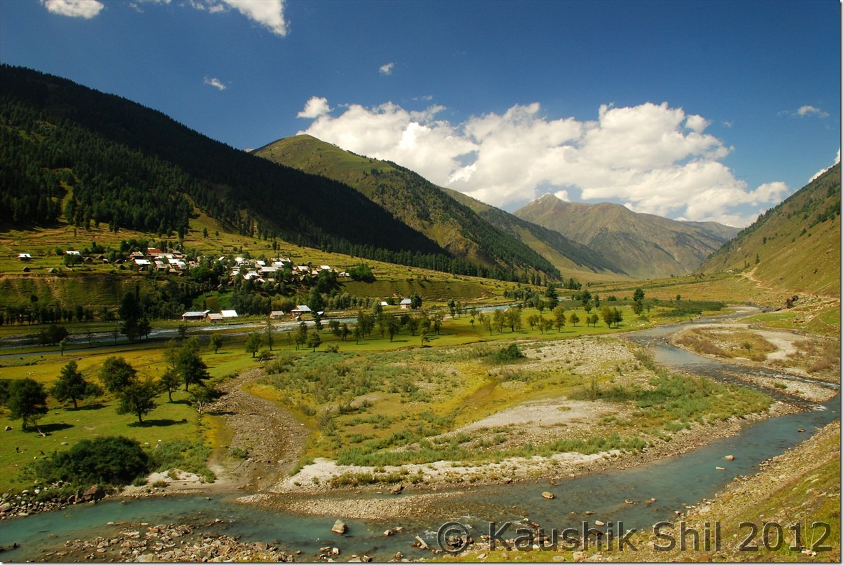
The beauty of Warwan is difficult to express in words, the meadows, the apple and akhrot orchards, the golden farm land, the deep blue dariya i chenab flowing across, snow peaks all around makes it a must visit place for all. In addition to that you would find the most welcoming people of valley here, we took atleast 10 cups of tea, roti, cakes, apples, akhrots number of times during these 5 hours. Sometimes they stopped our car to get acquainted with us and offered us apples and tea, took us to their home, introduced us with the family members, awesome experience indeed. Once again the nice day was followed by a brilliant dinner with Kazim came into play with his great chicken curry and Rahaman prepared a nice alu-gobi. Army was even so friendly, when we came back from our day visit, we found they brought lunch for all of us from their camp. I have visited many places in India and outside of it but never touched so much the way I was touched in Warwan.

Awesome Vistas of Warwan:

DSC_0252 DSC_0266 DSC_0275

Minglee Village:

DSC_0279

Model Village Aftee:

DSC_0283

Primary School at Aftee:

A wonderful JK Tourism Hut in Aftee but there is no approach road DSC_0284

A wonderful JK Tourism Hut in Aftee but there is no approach road

DSC_0286

Government Higher Secondary School at Warwan Teacher Student ratio 1: 250

DSC_0289

DSC_0290

A wonderful moment:

DSC_0292

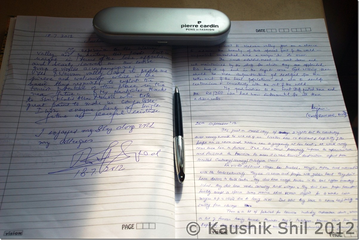
The Visitor’s log in Warwan, since Anirban’s visit last year, I am 3rd guest and first tourist to visit:

DSC_0294

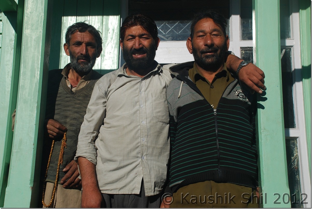
Kazim in middle and extreme right is Abdur (Nishane chod ke jao) Rahaman, an excellent host

DSC_0295

Tomorrow we will depart from this part of heaven again towards Margan pass and yes would try to spot Nun-Kun from there and then via Kokernag and Verinag we would be moving towards Aharbal at Southern Kashmir.

Previous: Unexplored Kashmir – Aru, Lidderwat Valley

Next : Unexplored Kashmir – Kokernag, Verinag, Aharbal

Exploring Paradise on Earth: Lesser Known Kashmir – Introduction

This trip would never be possible without the tremendous help from Amit Tyagi (Hiambuj), Anirban (ADC) and Sunny Paaji (SunnyKashmir). No amount of thank would be enough for them as from starting of planning the itinerary, getting permits, connecting me even to Director Tourism of J&K, these guys were instrumental in making this trip happen and when I felt almost frustrated, these guys keep on encouraging me and such a trip in terms of complex logistics with family won’t be possible without their unconditional help and support.

When we did a fabulous Zanskar and Ladakh trip last year, I was pondering about coming back to the state again but this time specifically for the Kashmir Valley. Kashmir has been attracting highest tourist footfall in last 2 years among all Indian states but saddest part is like Arunachal it’s concentrated just on pocketful of places like Sonmarg, Gulmarg and Pahelgaon. I can vouch you won’t get the experiences of Kashmiri warmth and raw beauty of valley in any of these established commercial places. But then comes the next question where we will go, honestly I was not aware of any places except those so called established tourist places and along with that the ever volatile situation of the valley that makes it more difficult to plan especially when you go with family.

The planning started a year back and first we started debating over the time to go. From the perspective of natural splendors you really can’t make a call, Spring is the season of flowers blooming all across, summer is the time to enjoy the lush green with snow scapes, autumn is the time for fruits and the valley turned fire with fall colours and winter brings a different perspective with it white veil altogether. Weather plays a very important role in any Himalayan trip and so we gone by familiar wisdom of selecting either of the two windows, one just before monsoon arrives around June by which high passes should be opened or just when monsoon recedes around end September as the reversal of wind flow keeps the weather usually better and dry during these periods, if you have noticed most Himalayan summits are attempted during these two windows. We chose September end over June primarily because of

1. The pass openings are almost guaranteed
2. Roads are at its best condition in Himalayas and water crossings are mostly manageable which was a must for us as we were venturing in the unknown roads.
3. Season would be at its leanest and obviously you have an upper hand in bargaining which is essential in valley.
4. Airfare usually be cheapest in the quarter ending September (than that of in June)

I booked my flights from Kolkata – Srinagar and back way back in January this year and for 3 of us return cost just 25K (which subsequently gone upto 70K later, thanks to shut down of Kingfisher).

I called up Sunny Paaji around January and had some initial discussion on the places I should include in the trip, that time it was very sketchy and only thing we could conclude that keeping 2 weeks for the trip is safe to cover the most part of the valley, flight tickets were booked accordingly. Then several rounds of discussion with ADC (Anirban) who did his Kashmir trip in last year October and Hiambuj (Amit) who did another brilliant trip in August, slowly started giving me clarity on the plan. This is the first trip in my life where I didn’t have the clear idea of the routes / plans to be taken even couple of weeks before starting the trip. Slowly the names of the places, I repeat just the names (as I still have no idea on what they could offer then), were started figuring out. Gurez, the famous Kishanganga river outlining the LOC and Habba Khatun peak in backdrop, Bangus the brilliant meadows, very popular to foreign trekkers till mid eighties and the Warwan valley, hidden treasure of nature sandwiched between Pahelgaon and Zanskar Valley were came out as must go. We included Dudhpathri too as it was close to Srinagar and heard about its beautiful meadows. I wanted to visit Lidderwat Valley, courtesy Sunny Paaji’s T-log and hence wanted to include Aru too. Amit’s extremely useful suggestion on including Aharbal made a lot of sense which we realized once we visited the place. I also have a hidden wish to explore atleast one of three frontiers from Kupwara, Karna Valley, Keran Valley and Machil valley but even on the start of the trip not sure how to get permits to visit those places.
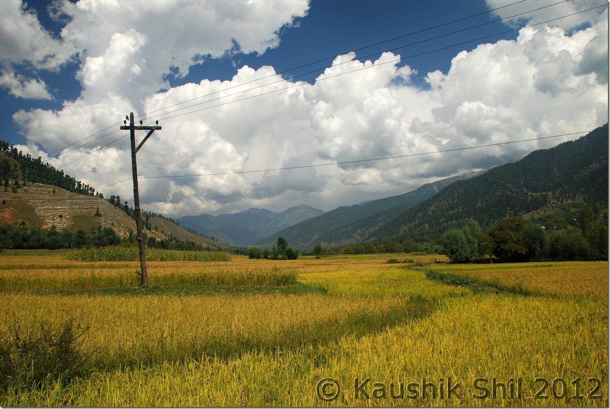
Once the destinations are in place, question comes in which order, clockwise / anticlockwise how we would travel as I was not so keen to touch Srinagar every time enroute. This time the thumb rule we taken was let’s go for the places first where permits not required and that would give us additional time to try for permits of other places if required. This turned out to be a very good strategy as we later realized, when to get Gurez permit I had to spend almost 2 full days in Srinagar.

So route plan charted as follows:

22nd Sep – Kolkata – Delhi – Srinagar (Reach by 12.00 noon) and proceed to Aru and stay at Aru.
23rd Sep – Aru Stay and visit Lidderwat Valley
24th Sep – Aru – Mattan Sun Temple – Kokernag – Valioo – Mattihgawran – Lehanvan – Margan Top – Inshaan (Warwan Valley)
25th Sep – Visit Around Warwan, go as far as Dasbal in south (another 10km from there road ends and you will reach Nayapool and 2 days trek via Marwah can take you to Kishtwar), Aftee in North (where road ends and a 2 day trek in either side can take you to Panikhar in Zanskar Valley towards east or in Pahelgaon towards west.)
26th Sep – Inshaan – Margan Top – Valioo – Kokernag – Verinag – Quazigund – Wanpu – Kulgam – Aharbal
27th Sep – Aharbal – Spohiyan – Pulwama – Budgam – Khan Sahib – Dudhpathri
28th Sep – Dudhpathri – Budgam – Sopore – Handwara – Reshwari
29th Sep – Visit Bangus Valley
30th Sep – Reshwari – Handwara – Kupwara – Sadhna Top and if possible to Karna Valley till Tangdhar and if could manage permission then till teetwal.
01st Oct – Tangdhar – Sadhna Top – Kupwara – Lolab
02nd Oct – Lolab Valley – Kupwara – Sopore – Watlab – Bandipore – Rajdhan Pass – Kanwaljan – Dawar.(Gurez Valley)
03rd Oct – Dawar – Barnoi – Neeru – Chakwali (Till the point civilians are allowed and road starts winding towards Drass via Kabul Gali) – Tilail Valley – Back to Dawar
04th Oct – Dawar – Chorwan Forward Post to LOC if permission granted and then move towards Kanwaljan – Bagtore till Tarabal where road ends. Planned to trek towards forward post again if permission granted. – Back to Dawar
05th Oct – Dawar – Rajdhan Pass – Tragbal – Bandipore – Gandherbal – Kangan – Naranag – Back to Srinagar
06th Oct – Spare Day considering the infamous track record of Strike/Bandh in Valley (This came very handy later)07th Oct – Srinagar – Delhi – Kolkata Flyout.
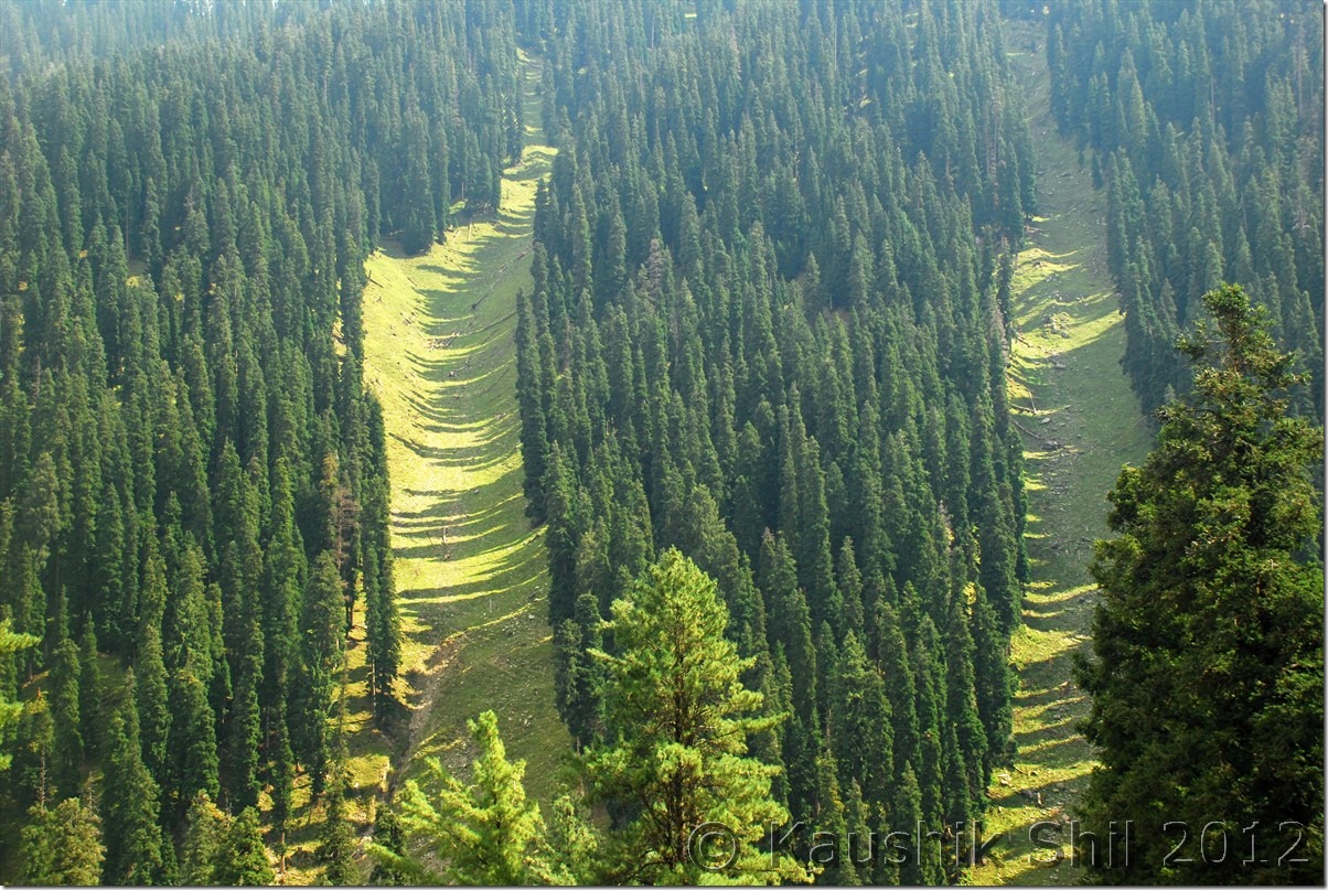
So now with an ambitious plan in hand, the next question comes from where and how we get permissions.

This should be a separate part in T’log as during my extensive travels in remote Ladakh or Arunachal I never faced so much complicacy in getting permits and spent so much time to get those elusive permits.

Let’s chart out the permit processes in a nut shell:

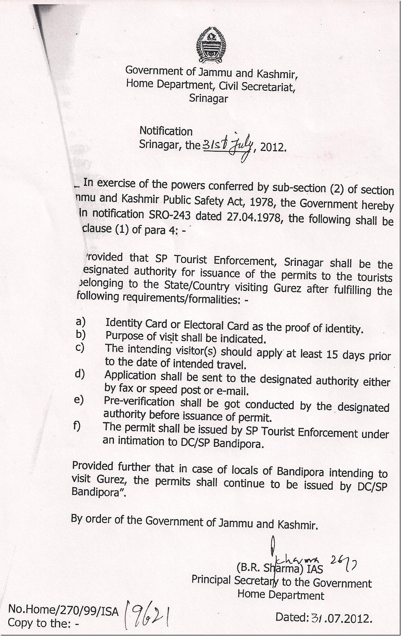
Gurez: If you are not a resident of Bandipore, J&K you have to get your permit from SP (Tourism Enforcement) at Srinagar office. For that you have to apply with your details in a prescribed form 15 days in advance atleast (I will suggest do it a month in advance) with your photographs. If you are in a rental car, even the driver’s details and photograph is needed. This will go through proper scrutiny before it would be sent to your local police station for pre-verification which is simply a MUST now. The rule has changed recently on 31-Jul-2012 and now SP/DC Bandipora can only issue permit to people residing in Bandipore, all others have to follow the long drawn process mentioned above. Read the exact Government circular below (Clause ‘e’ is the difficult one) and prepare for some difficult times if your police verification doesn’t reach in time. Keep photocopies of the permission and we had to give it in 4 different places and our passports / I-Cards were checked 8 times between Bandipora and Dawar. I tried to figure out why these rules and formalities and when speaking to locals, it seems Govt discourage people from outside to visit Gurez and main reason is the 3X110 MW Kishanganga Hydel Power which is going through terrible rough times as tussle between Govt and locals now gone upto court and right now all works in dam sites are stopped because of a stay order from court. Otherwise the LOC and other issues remain much peaceful here than the areas like Samba sector in Jammu or Bangus area in Kashmir Valley.

Govt. Circular on Gurez Permit:

Gurez Notification

Permission to visit any forward post like Chorwan has to be taken from the local army brigade.

Bangus: Really unpredictable and it’s absolutely your luck that can take you to this magical valley. You have to apply to SP, Handwara in plain papers and SP will issue a written permission on behalf of civil administration and request 17th Infantry Brigade stationed there to issue final permission. So you are at the mercy of the army and their movement and other factors. When we went, an encounter was going on and I heard myself in army brigade out of 12, 2 were eliminated, they were combing for rest 10 if they slipped out to POK or hidden in the dense forest region. We were denied permission by Army for good enough reasons but how we finally made it to be told in the T’log later.

Karnah / Keran / Machal Valley : In all cases permission has to be taken from office of DC / SP Kupwara and then visiting forward post needs army permission.
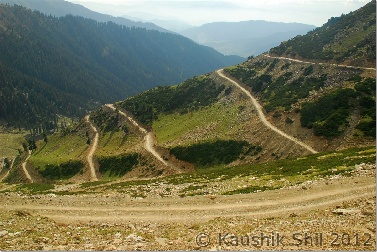
To visit Teetwal, last Indian village from where you can see Pakistan’s village, roads, bus/trucks everything in 50 mtrs distance, has to be taken from Police Station / Tehsildar of Tangdhar. Same will be verified and countersigned by Army at Chamkot, 10km before Teetwal. There is an excellent PWD Guest House at Teetwal, just beside river Kishanganga which might be an excellent stay but unfortunately Tangdhar Police doesn’t issue more than a day’s permit which makes it impossible to stay there.

Warwan : Doesn’t need any permission but just before the ascent of Margan starts, you have to make an entry in Army check post and similar entry would be required once you reach Inshaan.

After a lot of text, it’s time for a few snaps to show you the highlights, details would come soon as I proceed with this T’log.

Aru – The start of Trek to Lidderwat:
DSC_0001

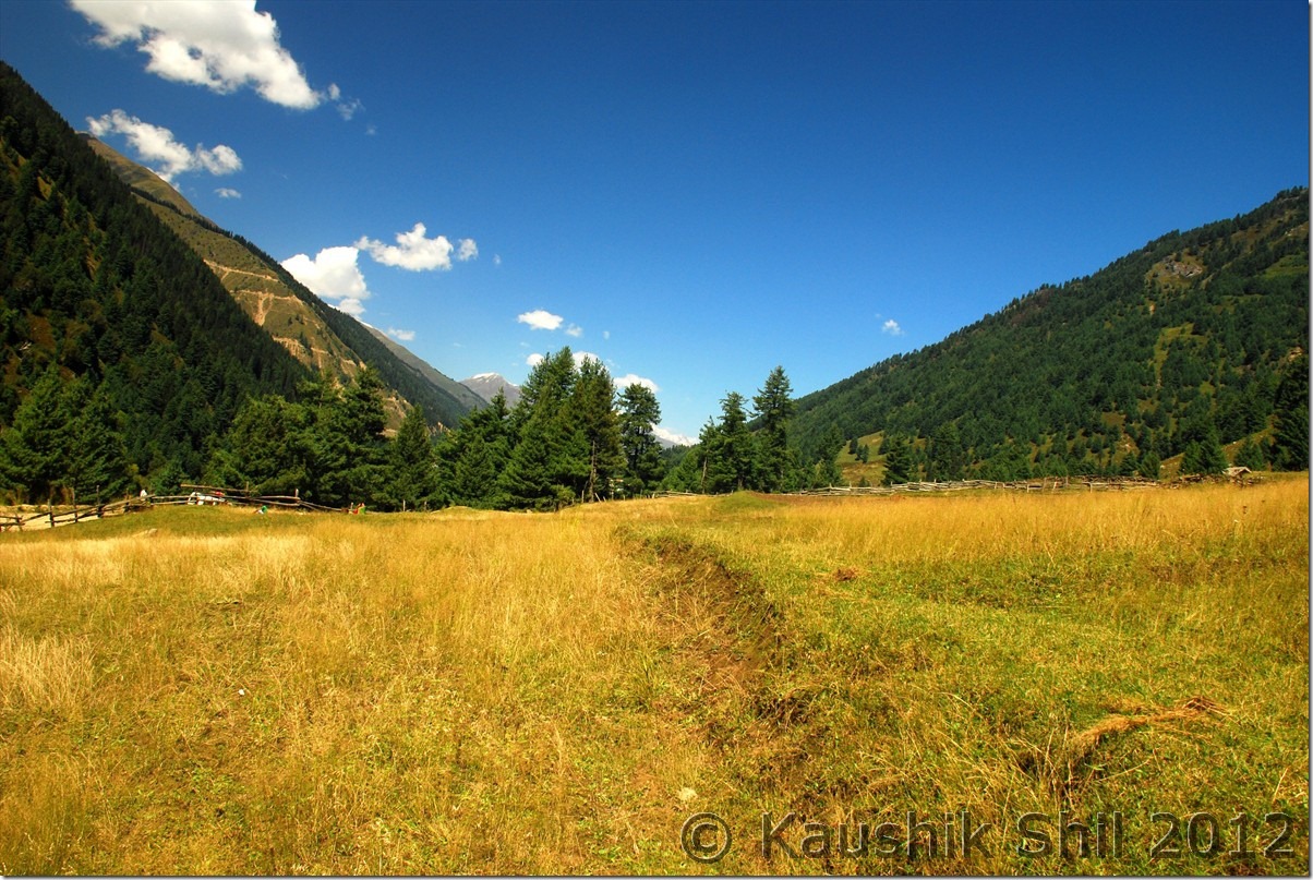
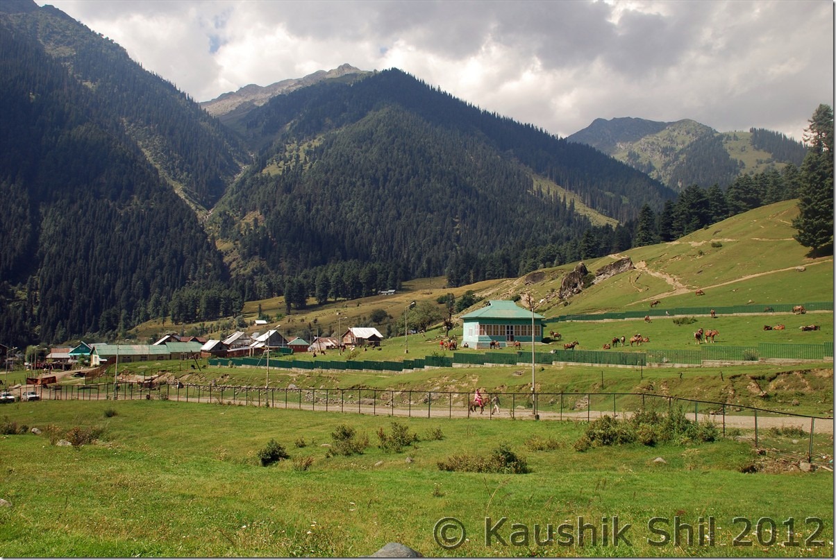
Warwan – Untouched Heaven on Earth
DSC_0275

Nun-Kun Peak from Back side : From the Margan Top – On a clear day it’s very well visible.
DSC_0303

Verinag – The best garden I have seen in Kashmir
DSC_0354

Elusive Bangus – I can walk many miles to go there again
DSC_0538

Teetwal Bridge – River Kishanganga makes the divide. We are in Indian Side , Other side is in Pakistan, try to identify the flags of Azad Kashmir (POK) and Pakistan on other side:
DSC_0694

Fall colors playing at Lolab:
DSC_0738

Gurez Valley with Kishanganga flowing across:
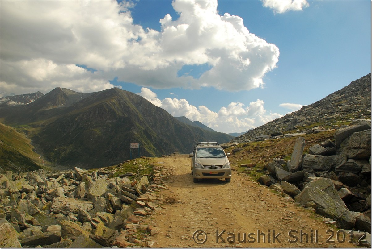
DSC_0865

Dudhpathri – The lovely meadows:
DSC_10041

Next : Unexplored Kashmir – Aru, Lidderwat Valley