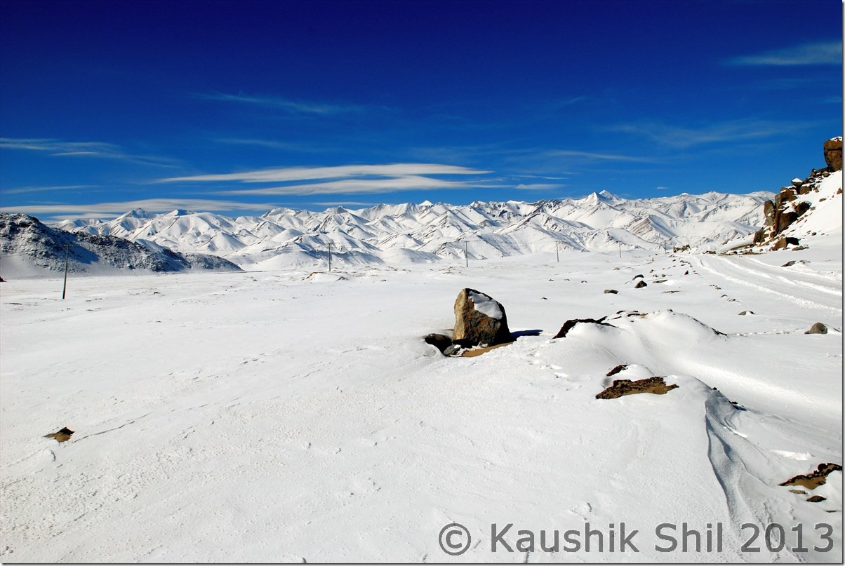
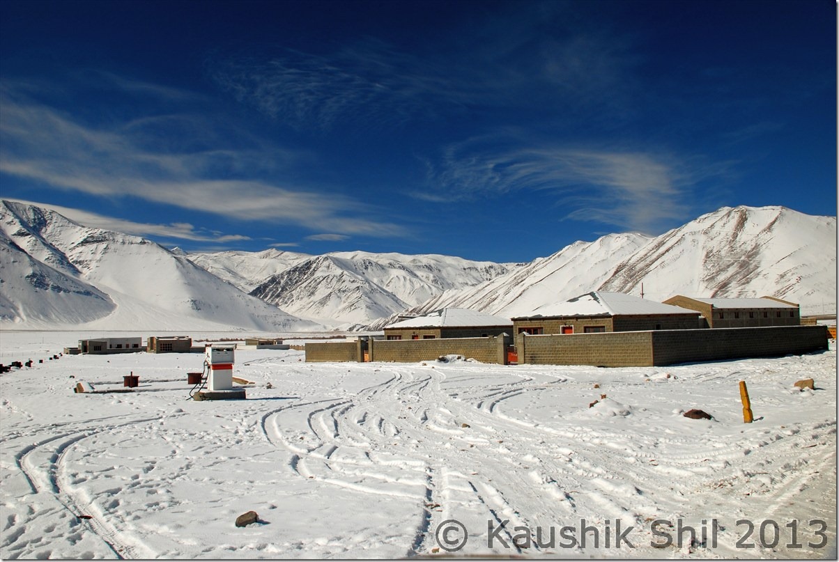
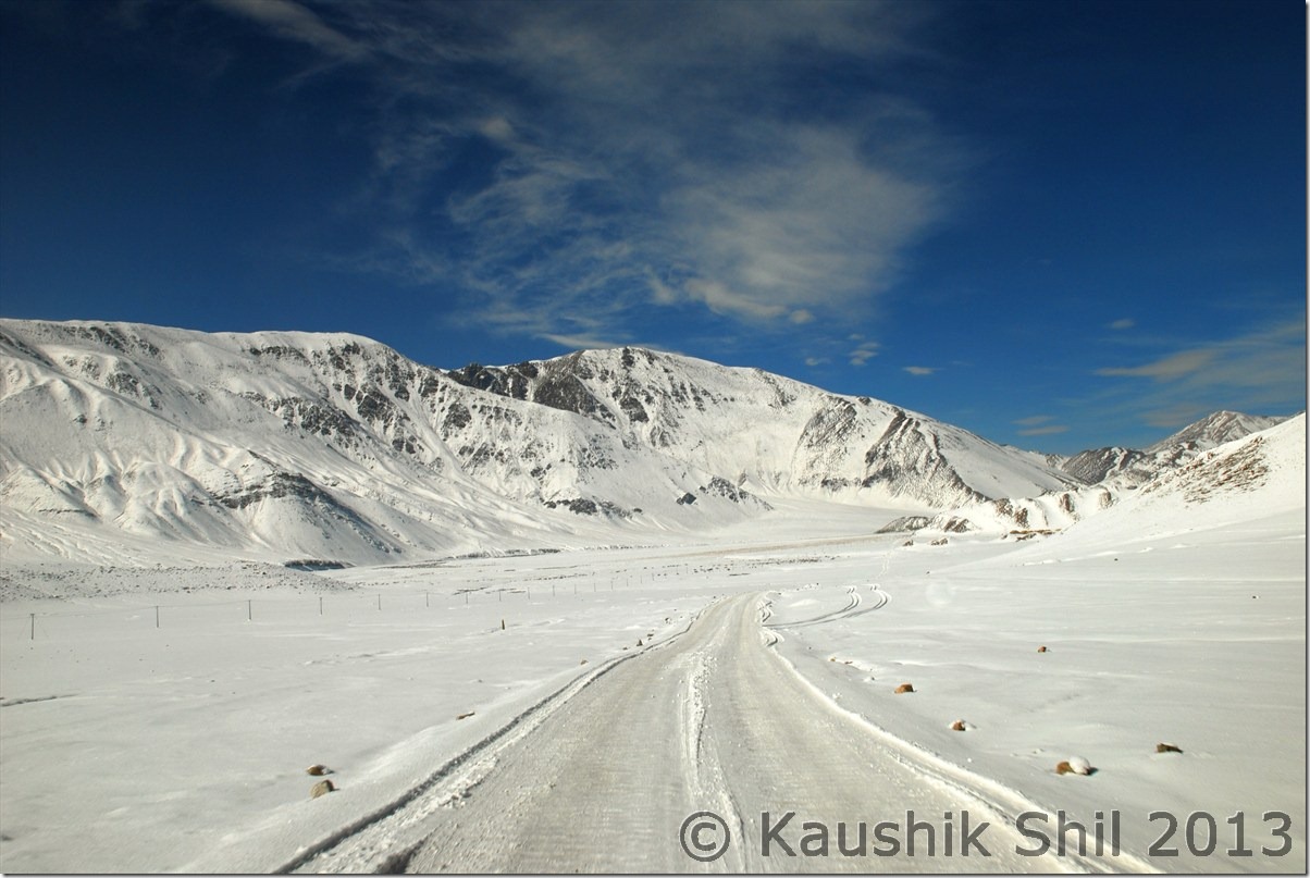
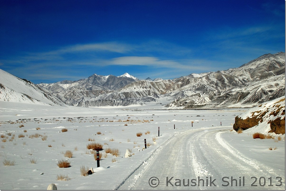
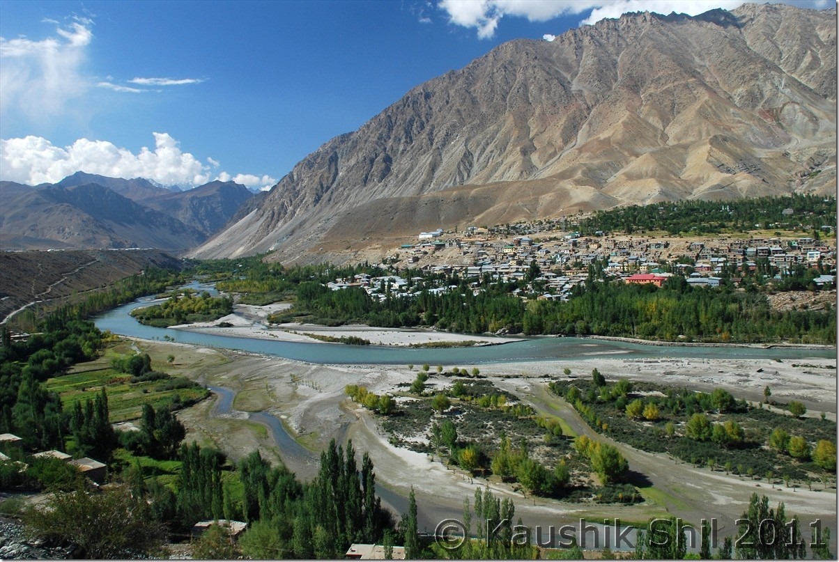
Ladakh In Winter – Chumathang, Tsomoriri

Day 4

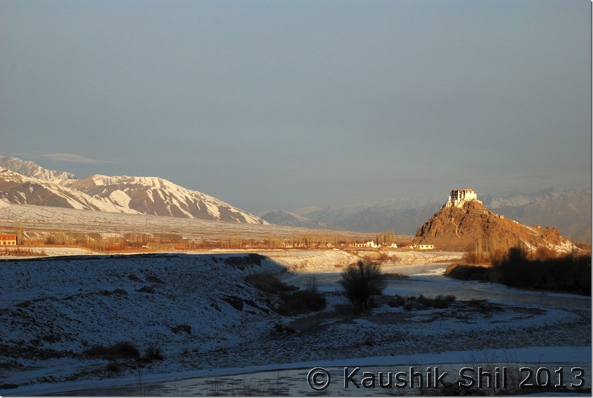
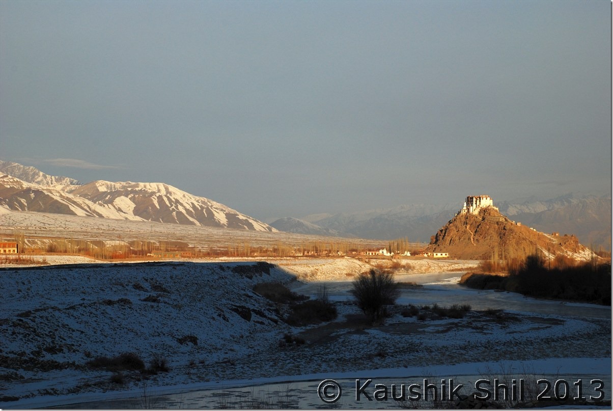
IMD suggested 2 more sunny days before another WD hits, so we were cheerful about our changthang expedition, though what we heard from Alok / Jasdeep was not at all promising. They had a nightmarish experience which would be narrated in their log but that description on spot would be enough to send a spike of chill across your spine. We had two hopes to be honest, first the clear weather prediction of IMD which usually gets very accurate in 48 hours span and second is Regzin. We knew so long Regzin was with us, we would be safe and happy. Somehow he has some lucky charm at least it worked with me be it crossing Photula, or entering Demchok or crossing the stream in Chumur or loosing our way to Tsomoriri or even when bridge was removed in Khaltse. I don’t know it’s because of his army background or what but he really could keep immense calm and composure whenever he is pushed to corner, so we didn’t think much started our journey quite early. It was first time we were checking out of Leh hotel after our 4 days of stay. We had our breakfast ready on time by hotel guys, they were really helpful, cooperated with us every time whenever we needed. The morning was really beautiful as we were running through Leh – Manali highway in cold morning of Jan, semi frozen Indus was with us and the morning sun glowing at its best on some of the famous monasteries like Thiksey and Spituk.

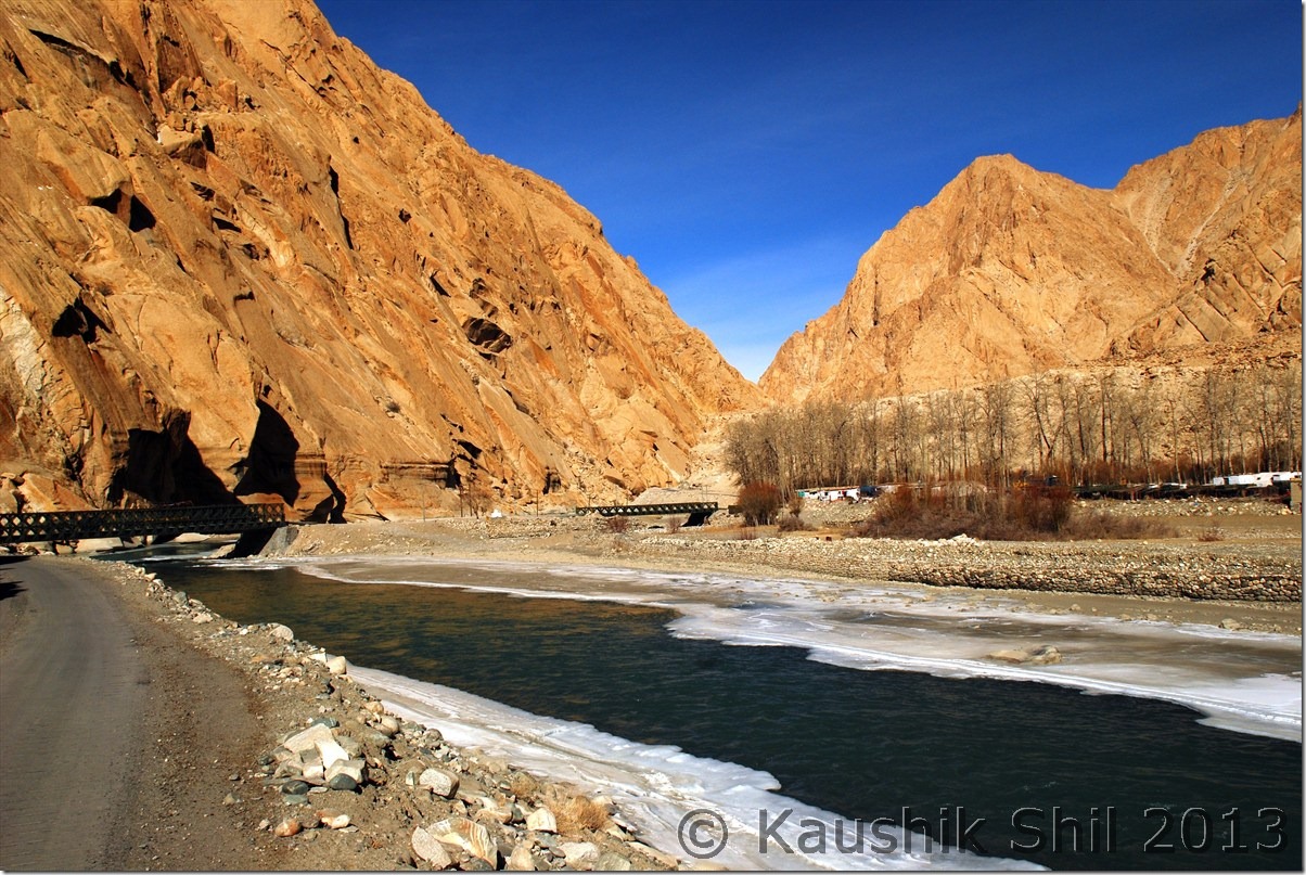
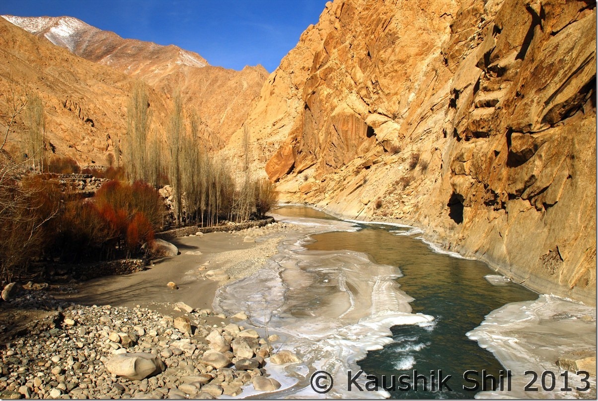
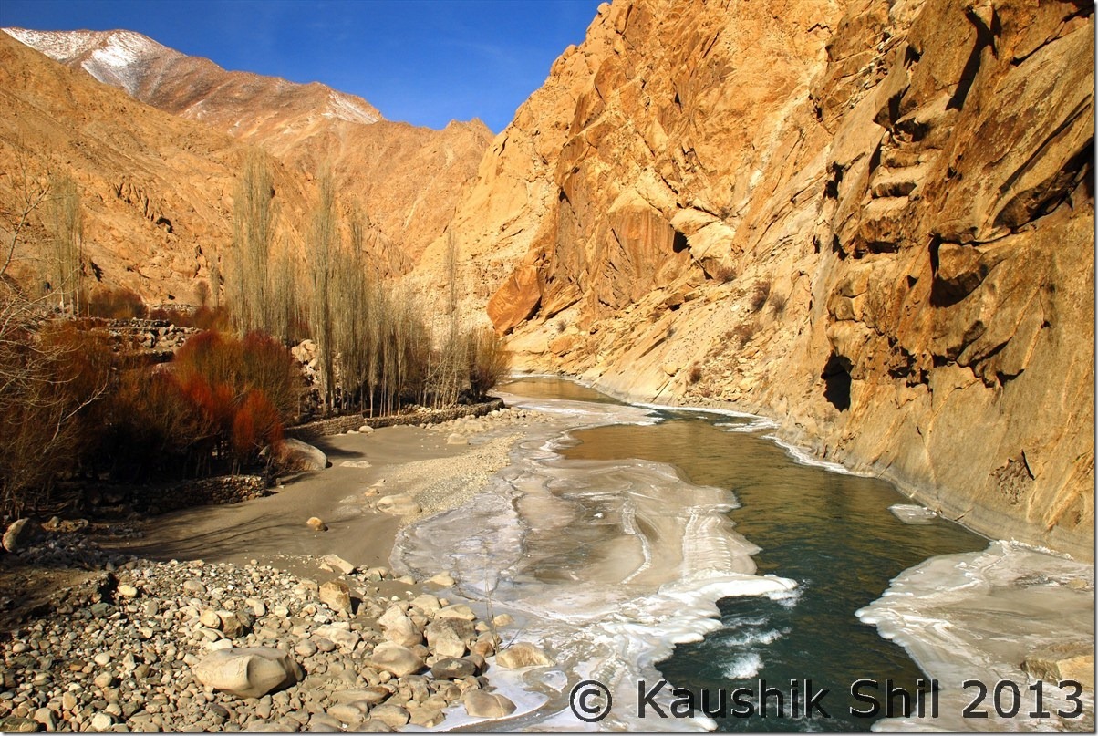
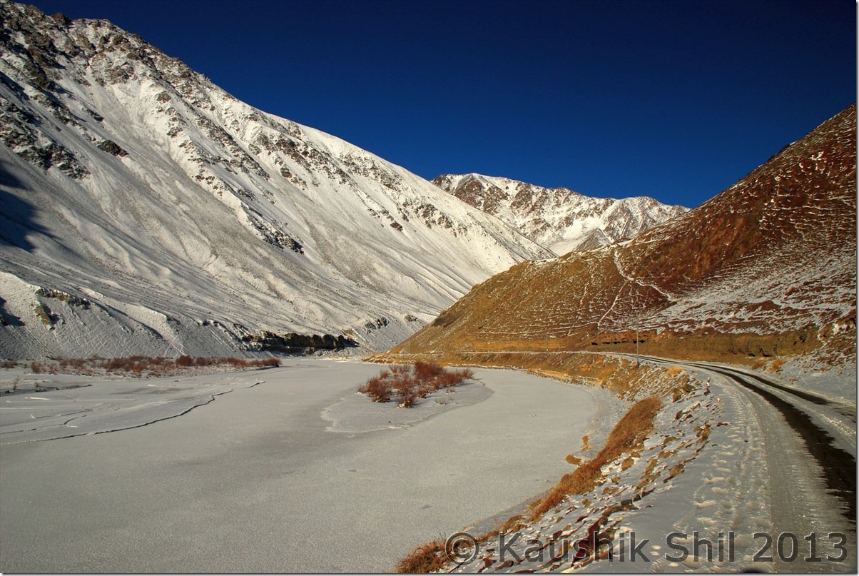
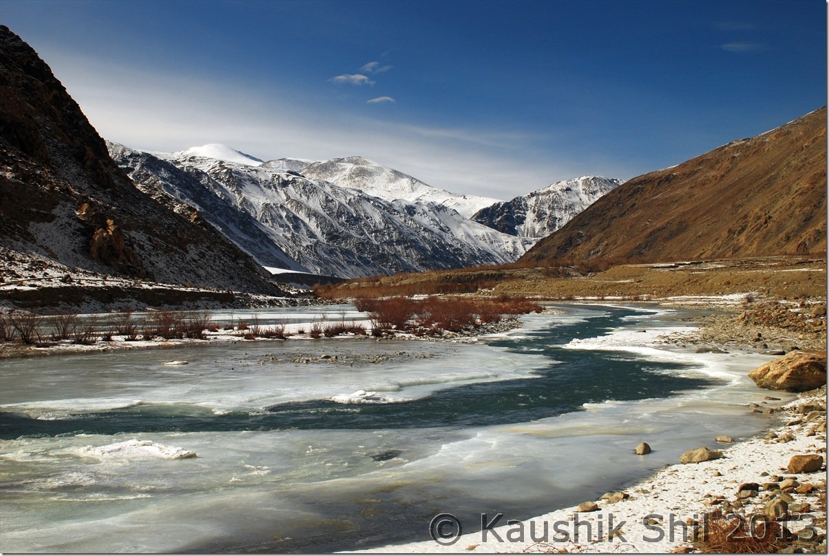
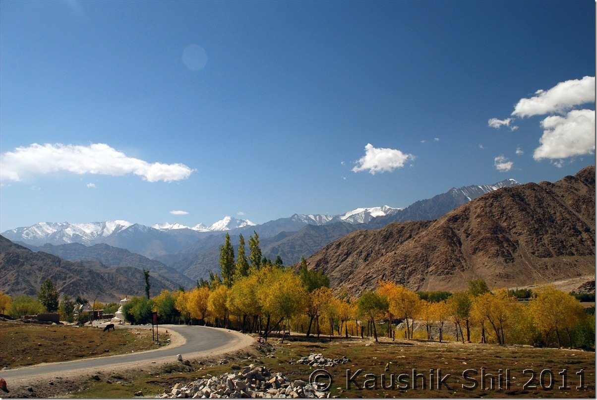
We reached Upashi quite quickly and had a tea break there, Som tried coffee, wonderful surroundings with bright sun and chilling ambience was gripping. Now it was time for us to leave Leh-Manali highway and take the road towards Mahe via Chumathang, following Indus all across. In my last trip to Ladakh, I covered almost all of the Ladakh where road had reached but somehow missed out the stretch between Upashi to Loma as I took Spangmik – Loma – Hanle – Chumur – Tsomoriri – Tanglangla – Leh during my last trip. So for me and Som it was a new venture where as Sanjay has already covered this stretch. The road entered into the Indus Canyon and the color of the red canyons were quite similar to those of Arizona just may be at 5 times height with Indus flowing in between. It was an amazing journey across the colorful canyons with semi frozen Indus. The more we were going, the water on top was reducing leaving places to ice on Indus.

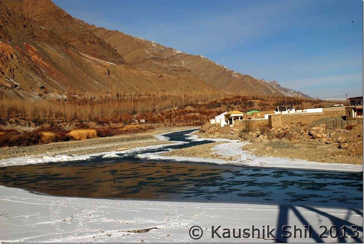
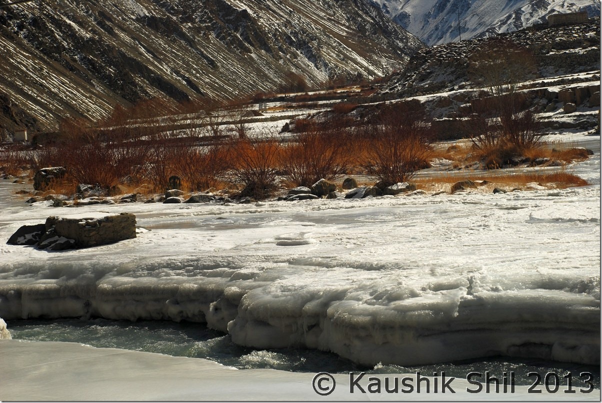
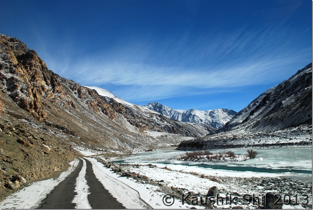
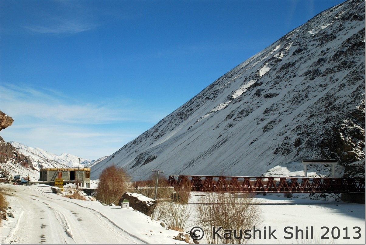
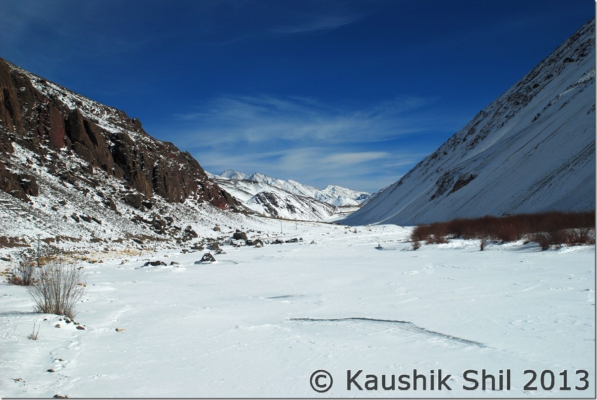
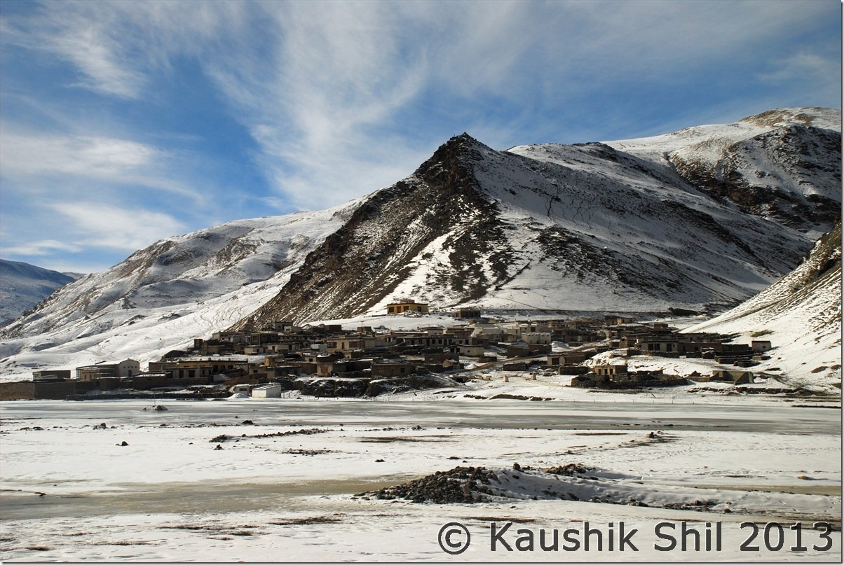
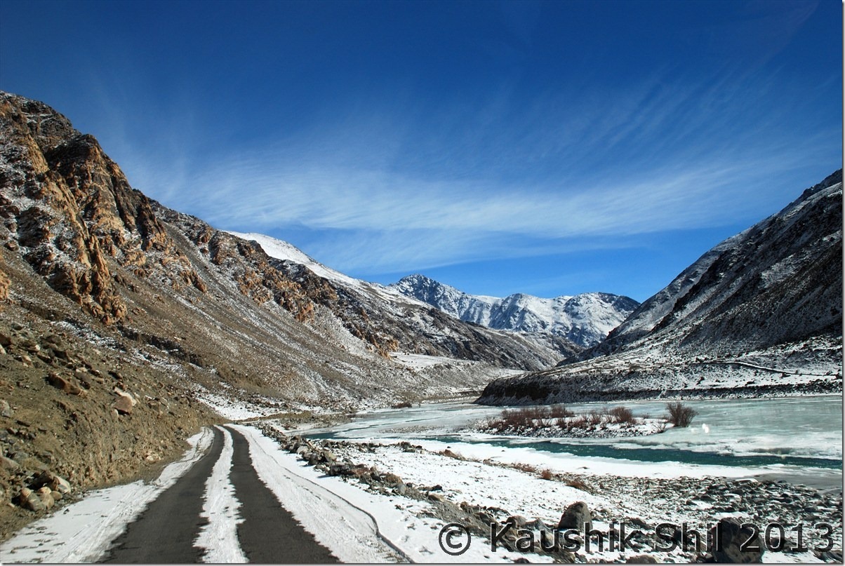
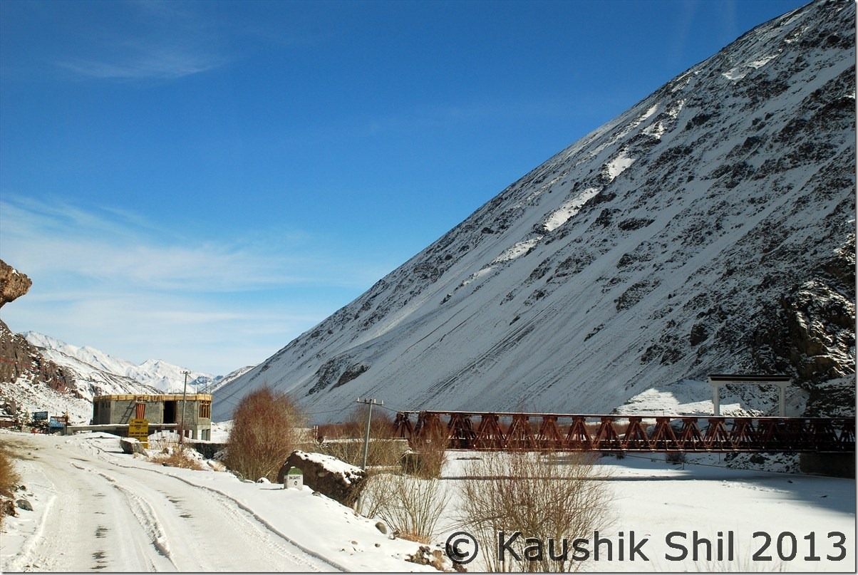
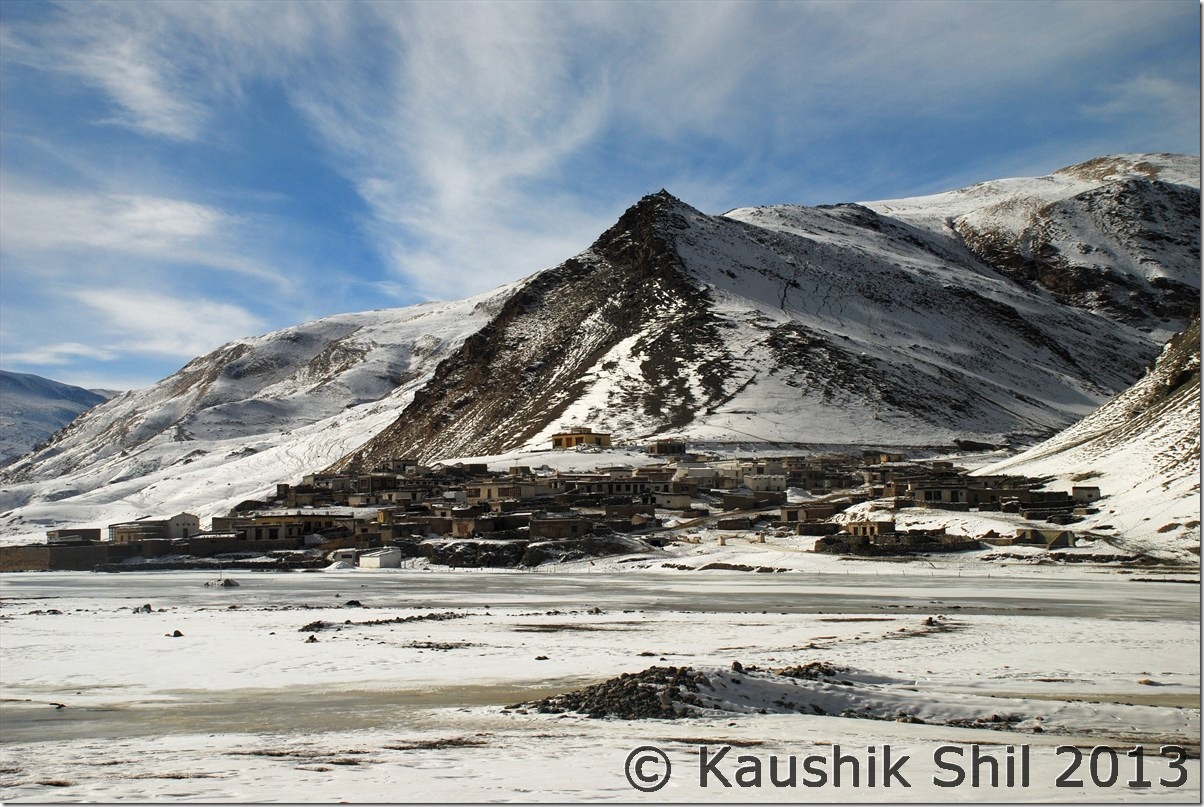
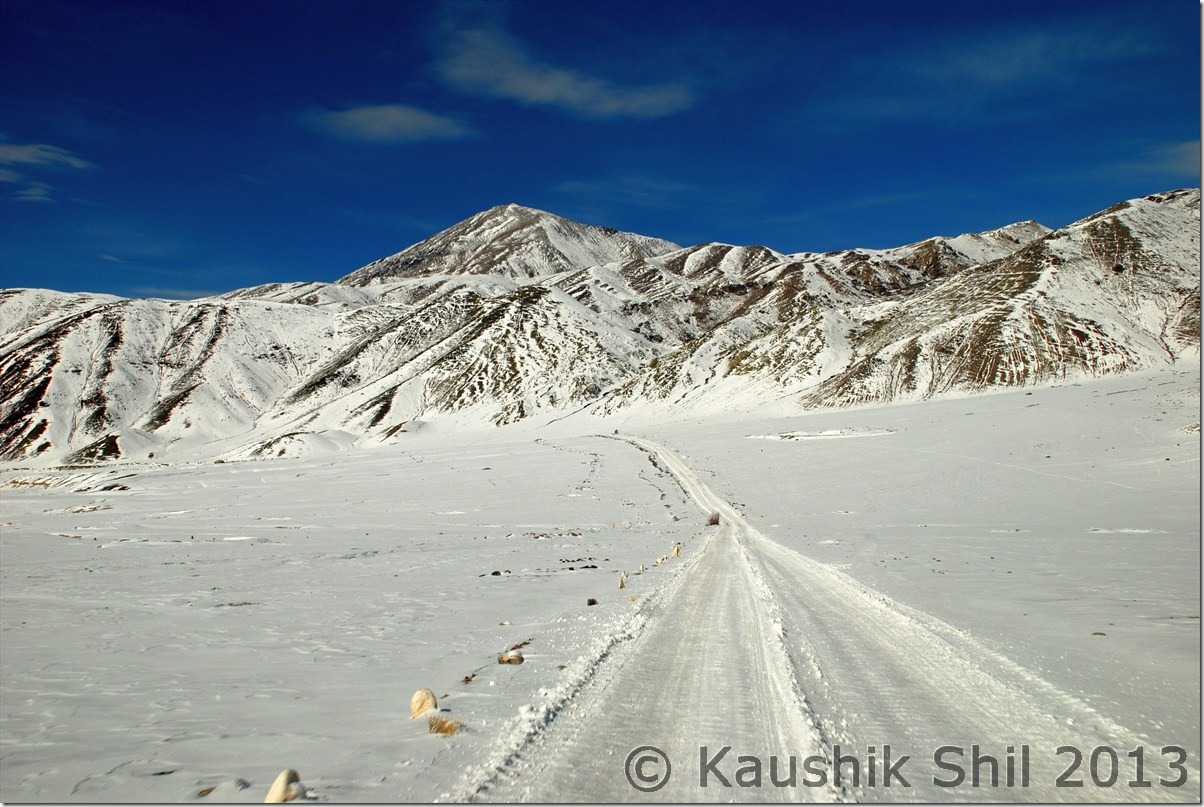
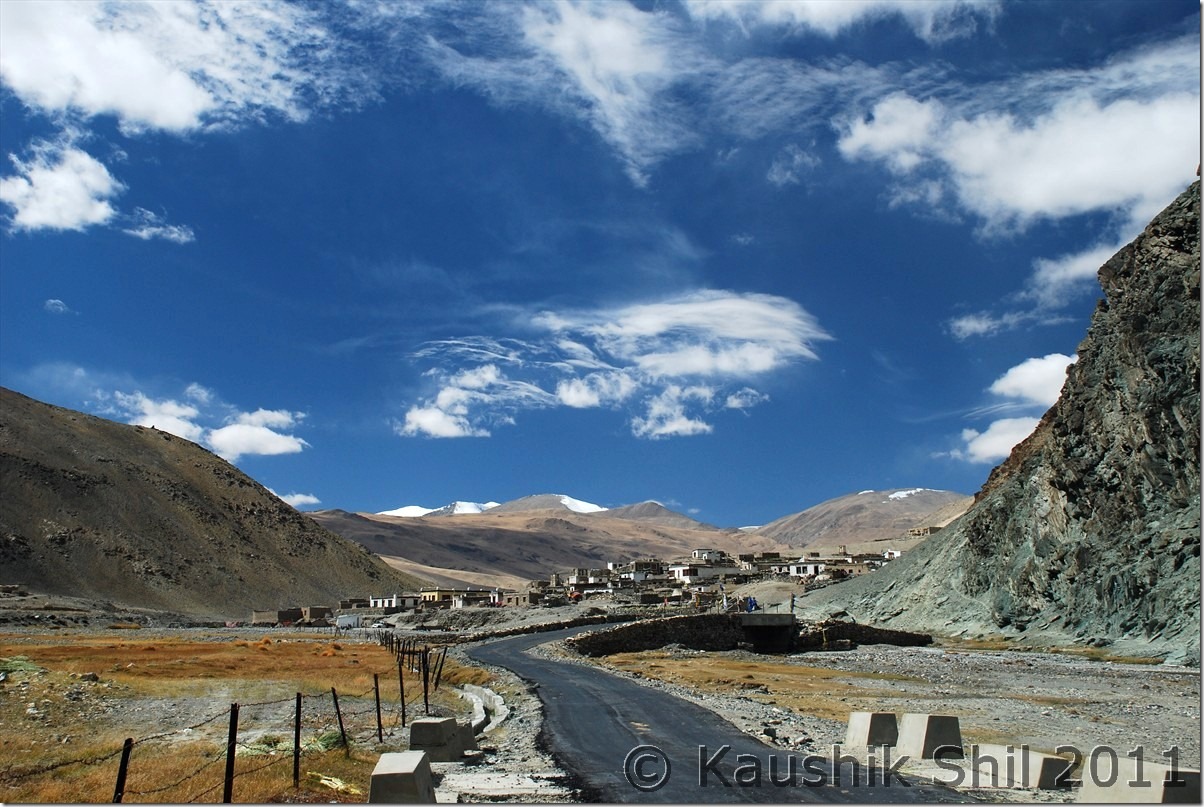
We reached Chumathang and the restaurant there was covered in all glass, was giving a green house effect, amazingly warm and I had my best lunch in winter Leh just with Maggie. I noticed clearly that upper portion of the hot springs are all frozen at 2.00pm in afternoon. So that was enough to give a clue of the night we are going to stay there. As Sanjay mentioned, with the advice of Alok/Jasdeep, we secured the electric heater for us at least till 10.00 (till power remains) and then after finishing the lunch we started proceeding for Mahe Bridge. Now the road ceased to exist, it’s all ice, only the difference of height demarcated the road and Indus. We reached the Mahe Bridge and at 2.30, I simply couldn’t stand on Mahe Bridge to take more than 2 shots. This part was terribly windy and after showing permit at Mahe Bridge as we proceeded towards Sumdo, we found an Army Gypsy there trying its best to navigate through ice. This part from Mahe to Sumdo was the worst with all black ice and the army vehicle was wildly swinging, when we overtook it, the driver asked Regzin how far Sumdo was and would the road be improved, they were going to the village for a route check but looking at their driving skill, we understood why Regzin stood apart even in comparison to the army drivers. I doubted if the Gypsy at all reached Sumdo as we didn’t see it any more till our journey and we took lots of photo breaks in between. It’s skill with confidence and calm head that makes the difference in these difficult conditions and Regzin was master of all. The Sumdo village was sleeping in frozen time it seems, we took left turn and spotted the jackal on the top, how it survives -40/-45 of Changthang, what it hunts then, God only know.

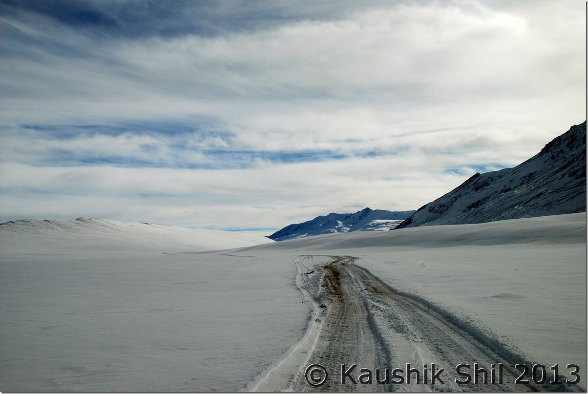
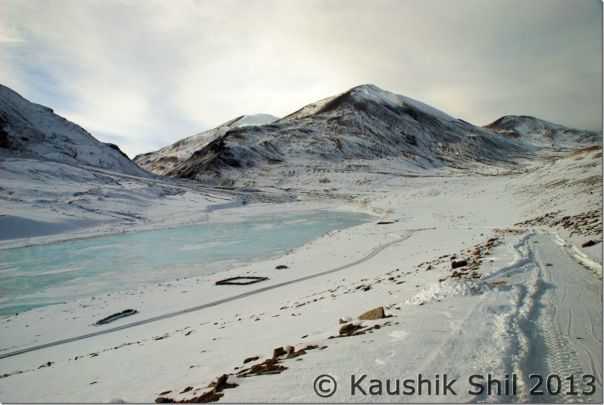
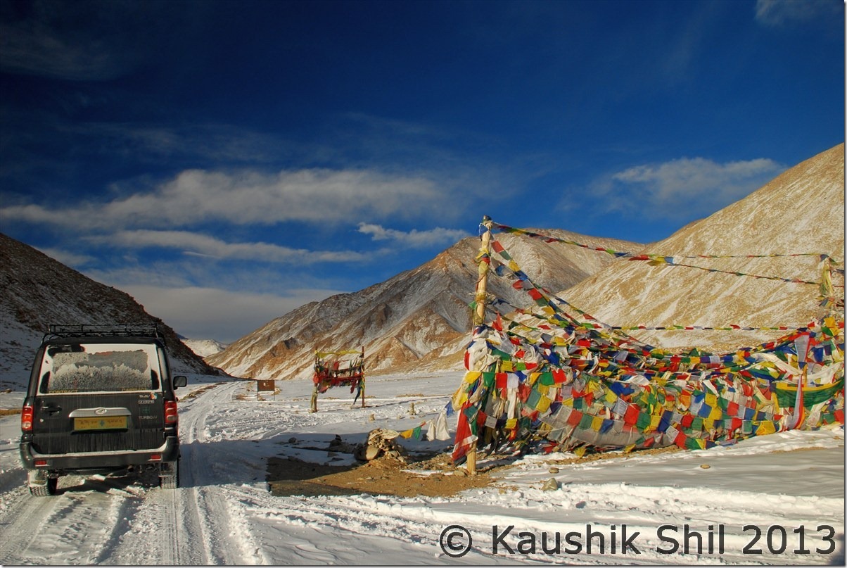
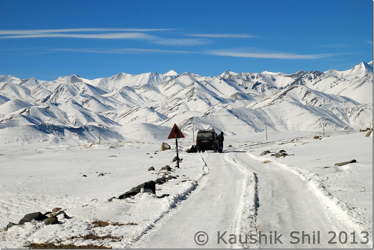
The journey was turning more adventurous as Regzin was describing his last visit to Tsomoriri in first week of Jan when there was no ice at all and even the lake was not frozen. In this journey we couldn’t spot the road except the tyre marks. As I mentioned Regzin had some lucky charms, somehow we found a JCB was coming clearing the ice and I am almost sure as was Regzin, without that solitary touch of God coming from nowhere, we might not able to reach Tsomoriri. Later we linked the thread as we met few army men in Chumathang who were waiting to be transported to Chumur and it was for the army truck to pass, the JCB was in action. So it’s all about the time and luck when you venture in winter Ladakh, even best possible plan would fail and best possible backup won’t work and that’s the beauty of the place.

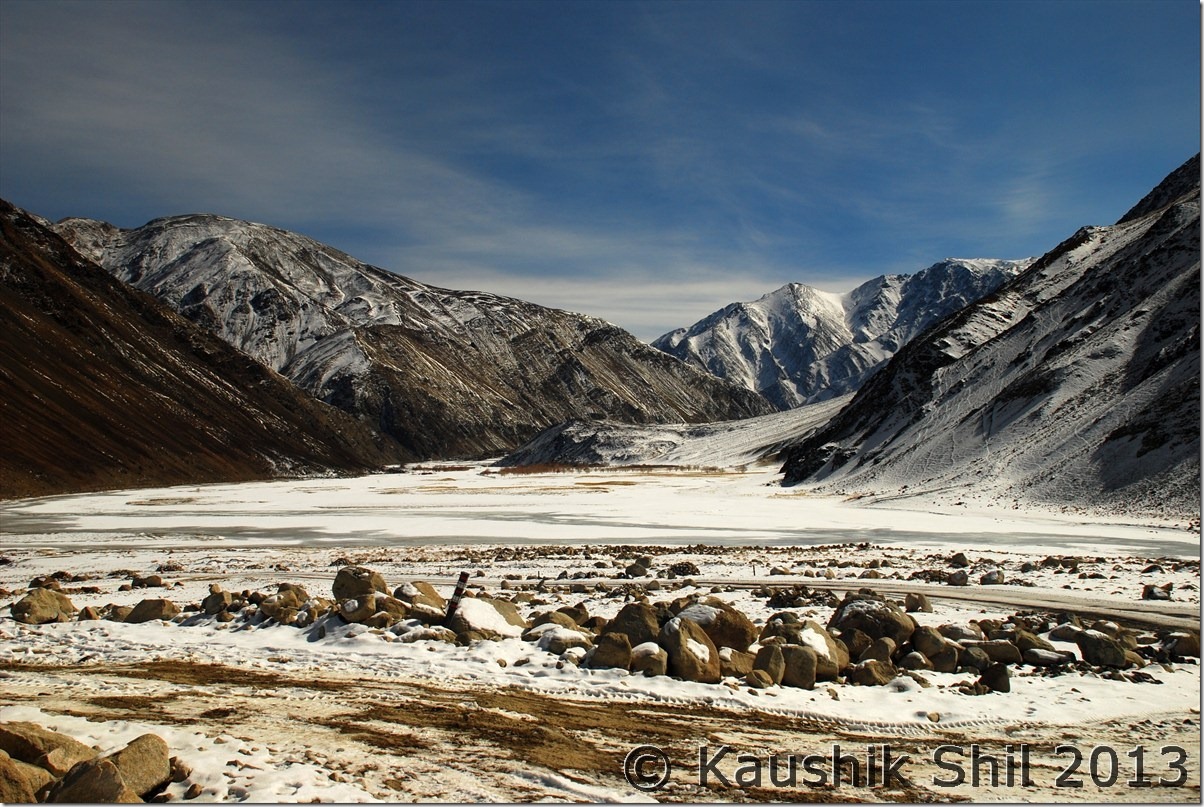
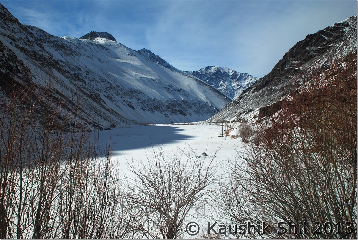
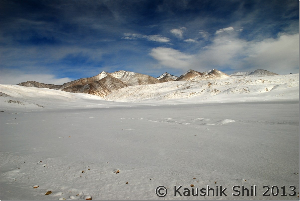
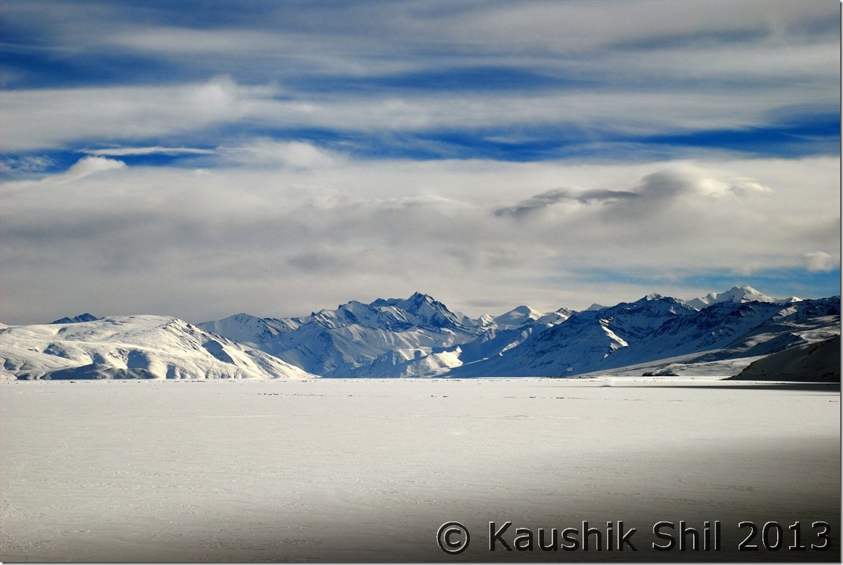
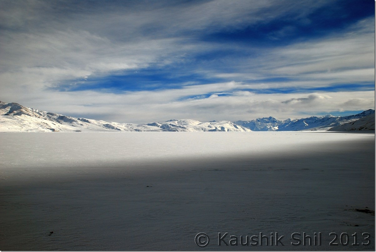
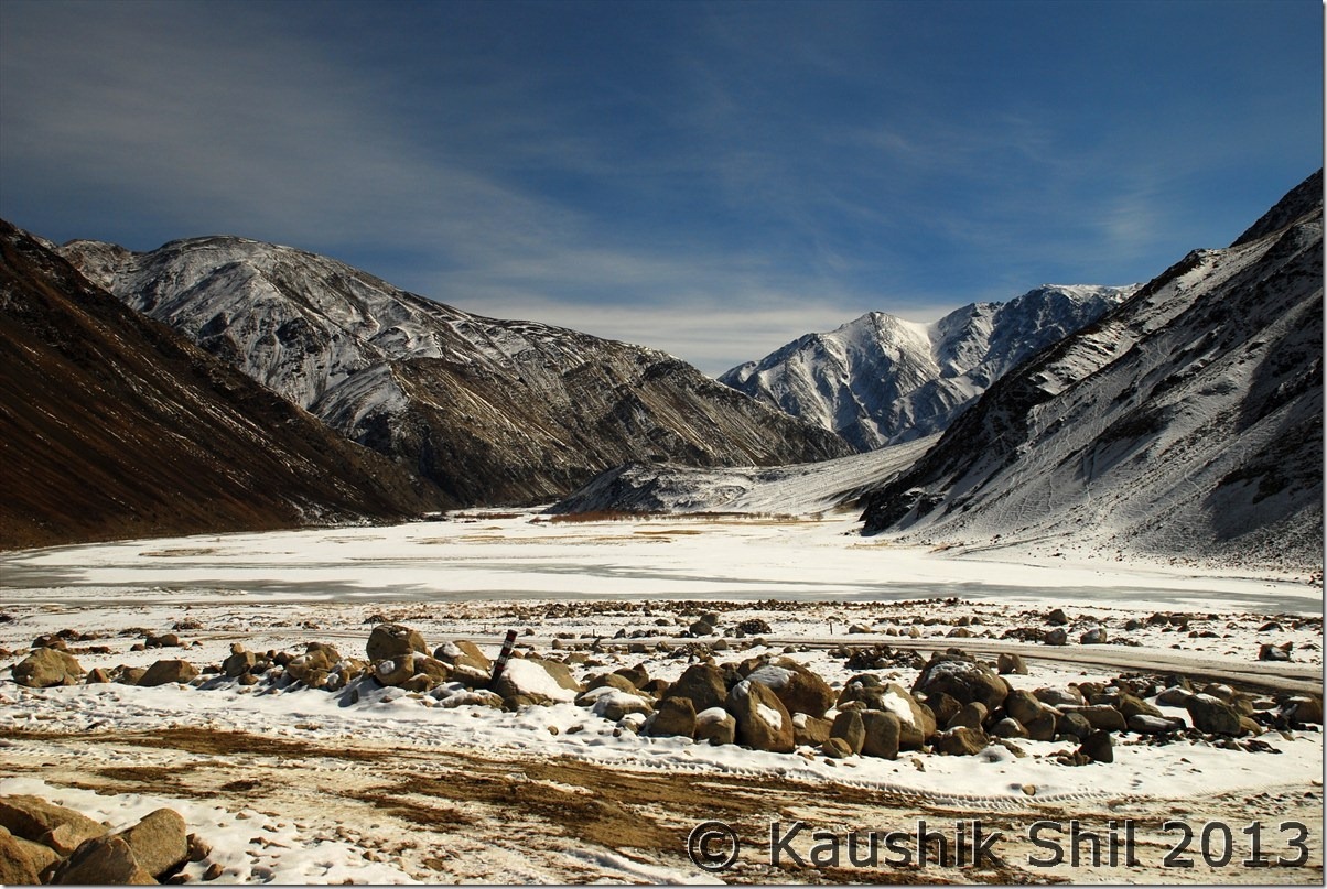
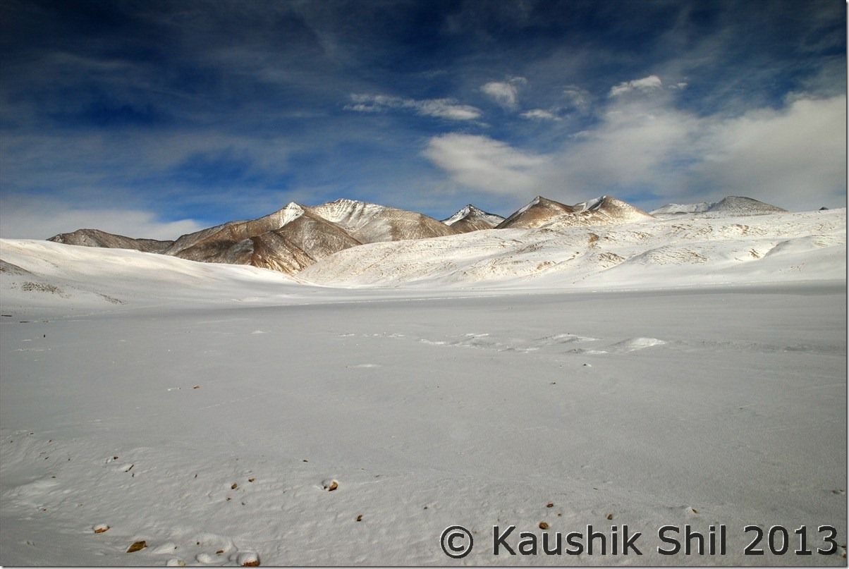
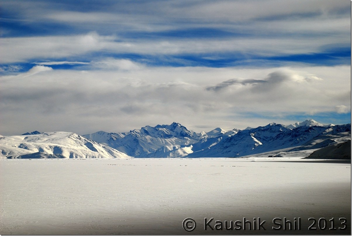
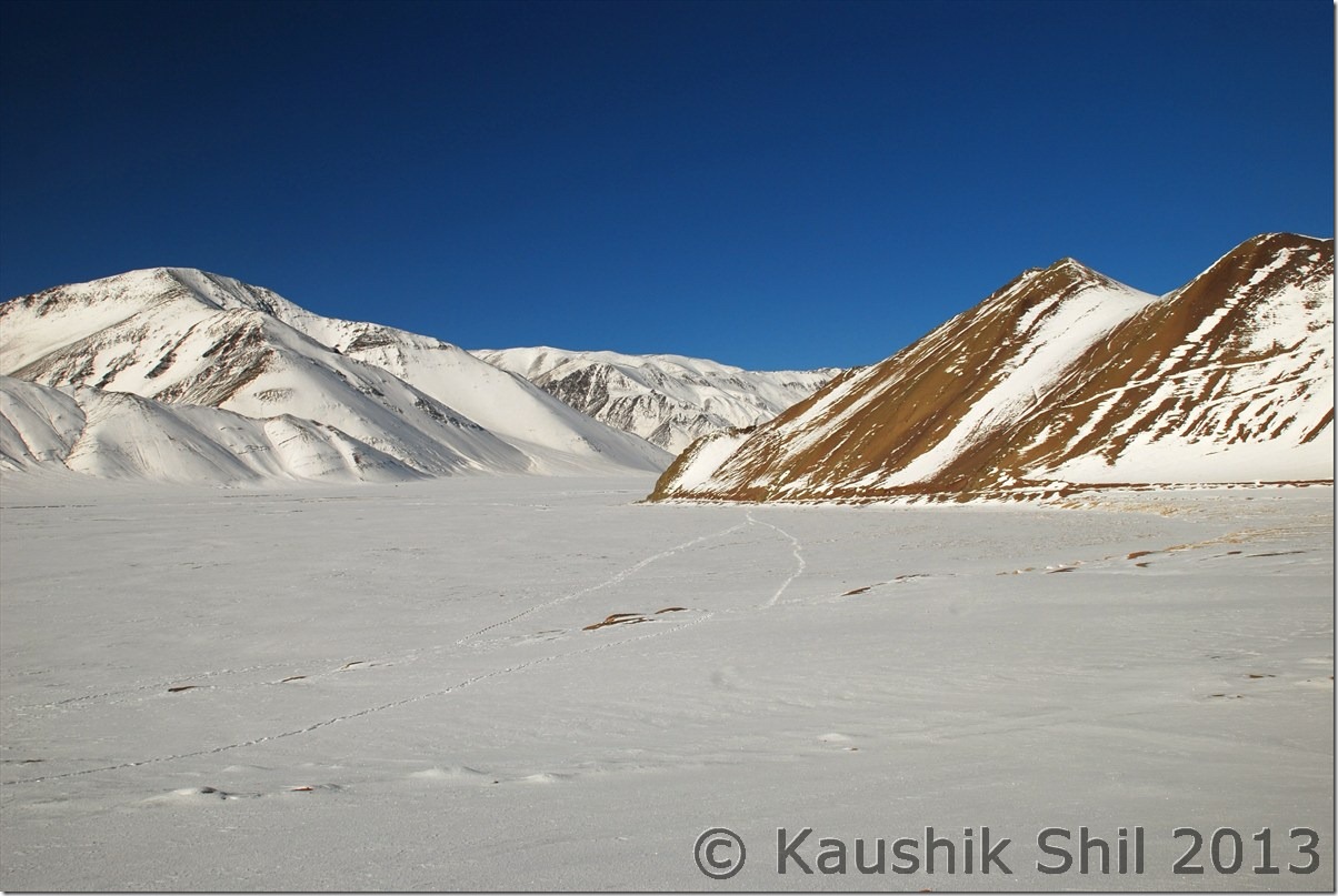
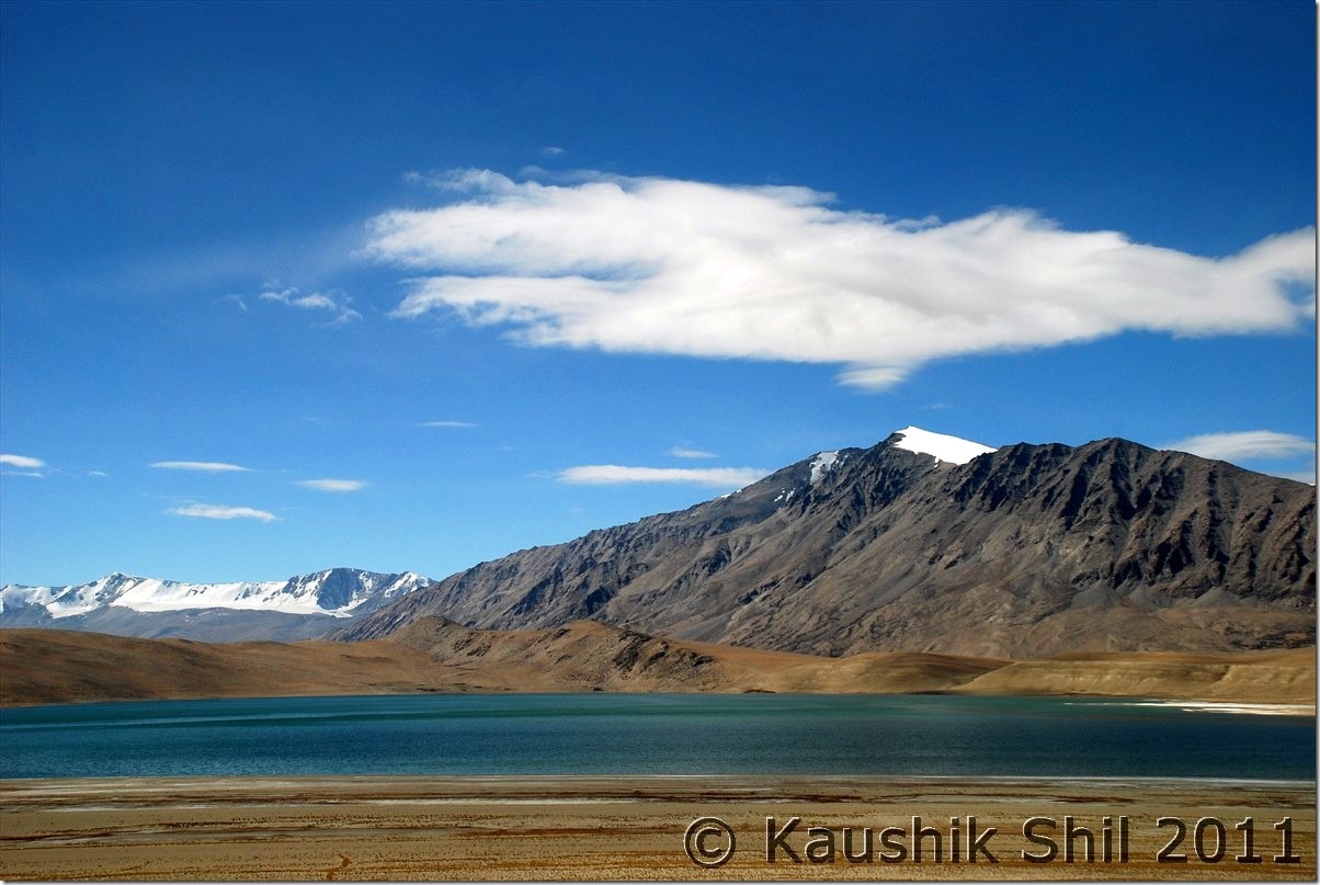
We reached Tso Kiagar which was completely frozen, took few snaps and then drove straight to Tsomoriri which was also completely frozen, couldn’t just believe my eyes that such a gorgeous lake can be frozen and all blue turned in white miraculously. The whole Changthang which is so lively in summer months seems to be sleeping in a magic touch of white. We didn’t have time to wait for long as the evening was approaching, cold wind was blowing furiously and sun was hiding in back of the mountains, clouds were coming from all around. We started our return journey and reached Chumathang before it was dark. That evening we hopelessly tried to take some night shots but understood 2 things clearly, first you shouldn’t challenge Changthang temp after sun is down and second, whatever Nikon says, it can’t sustain extremities of Ladakh winter at night. The fabulous D7000 of Sanjay started malfunctioning after a long exposure of 20mins and I didn’t dare to risk my old and feeble D80 after that. We took probably 3 blankets each on top of whatever layers of dresses we had and slept.

Morning at Thiksey:

DSC_0361

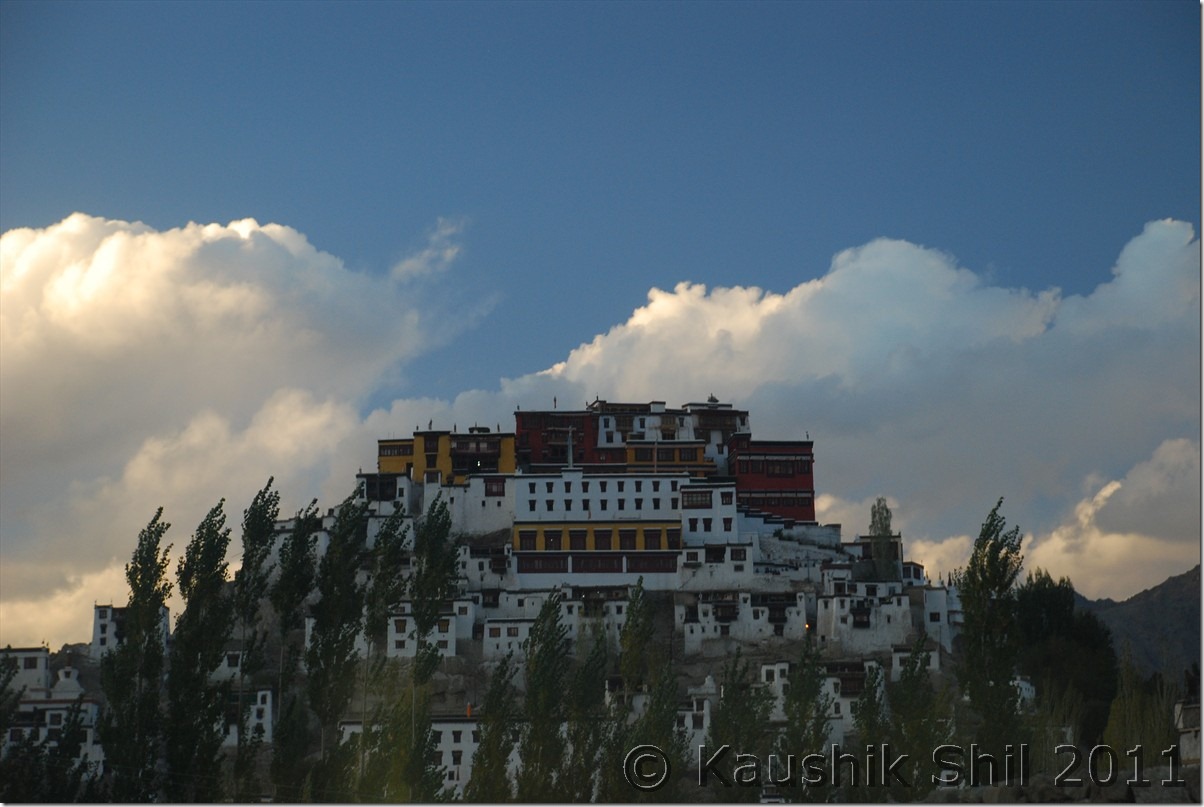
Gorgeous location of Spituk Monastery:

DSC_0365

At Upashi from bridge on Indus:

DSC_0371

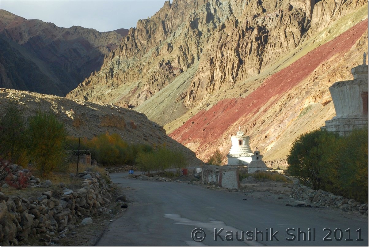
Colorful canyons on the way to Chumathang:

DSC_0388 DSC_0389

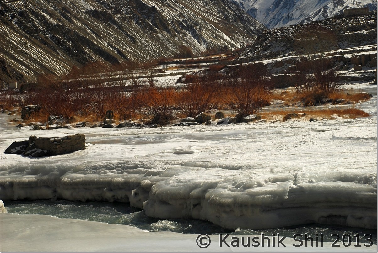
Indus Water started becoming narrower:

DSC_0413 DSC_0414

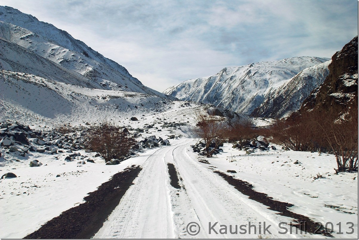
Road towards Mahe Bridge:

DSC_0422

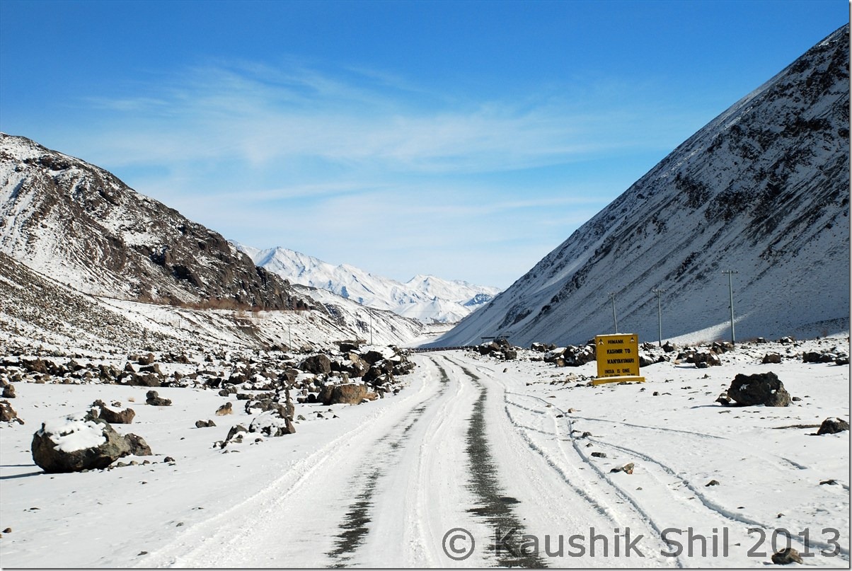
Read the BRO Board: Kashmir to Kanyakumari – India is One:

DSC_0432

Mahe Bridge:

DSC_0433

Both Sides from Mahe Bridge – Indus was completely frozen on top:

DSC_0434 DSC_0435

Approaching Sumdo:

DSC_0442

Sleeping in white blanket – Sumdo:

DSC_0444

Tso Kiagar:

DSC_0453

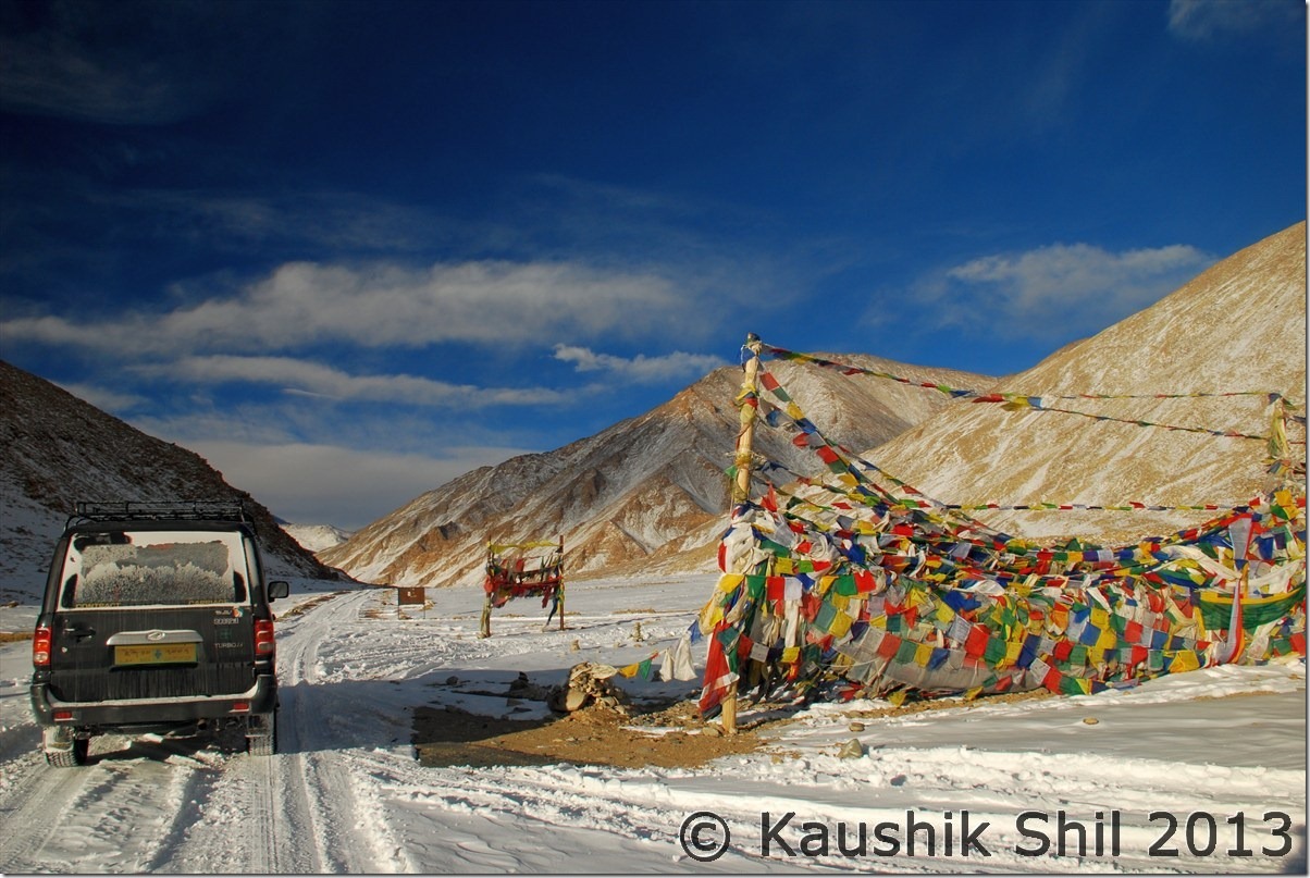
On the way to Tsomoriri:

DSC_0460 DSC_0461

Tsomoriri – Frozen by all means:

DSC_0462 DSC_0463

On the way back to Chumathang, a small pass:

DSC_0467

Previous: Ladakh In Winter – Exploring Dha Hanu Part-2

Next: Ladakh in Winter – Chumathang , Loma and Back to Leh Part-1
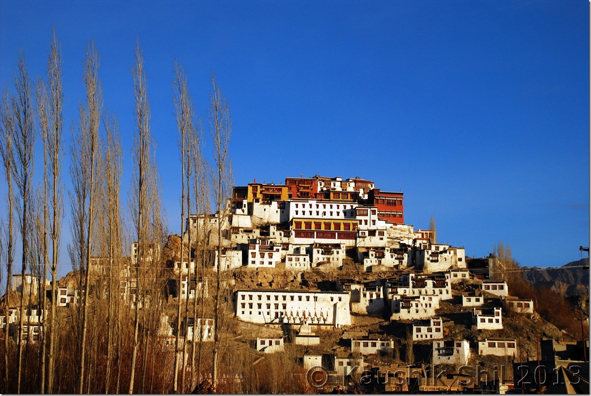
Ladakh In Winter – Few More Magic Moments

Spituk Monastery:

DSC_0365

A look at India’s own grand canyon, on the way from Upashi to Chumathang:

DSC_0389

The lovely scenery:

DSC_0413

Indus water stream became so narrow, rest are frozen:

DSC_0414

On the way to Mahe Bridge:

DSC_0422

Mahe Bridge, note Indus is completely frozen now:

DSC_0433

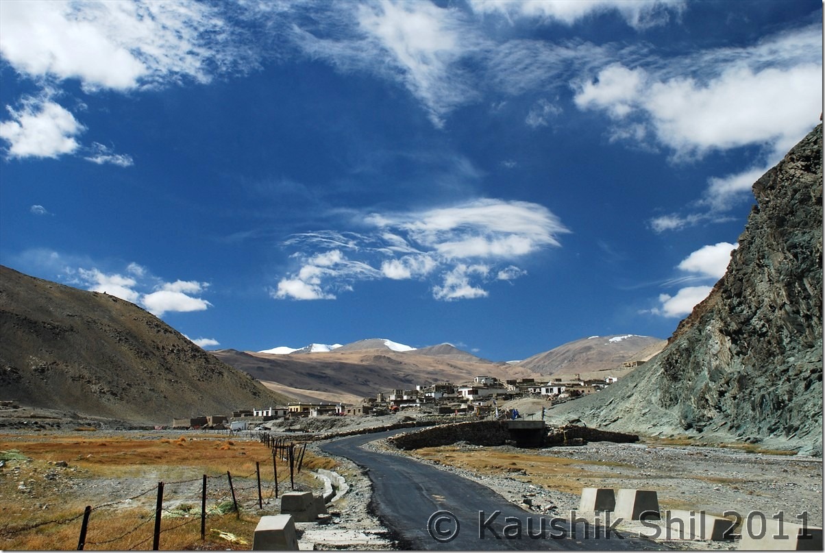
Sumdo Village:

DSC_0444

Frozen Tso Kiagar:

DSC_0453

Frozen Tso Moriri:

DSC_0462

The amazing road with later afternoon sun:

DSC_0467

Chumathang to Mahe Bridge beside Frozen Indus:

DSC_0473

All white, can you differentiate the road, the river (Indus) and the big sandy stretches? (All who visited Ladakh can try guessing the location)

DSC_0484

Where Diesel Frozen on the run:

DSC_0491
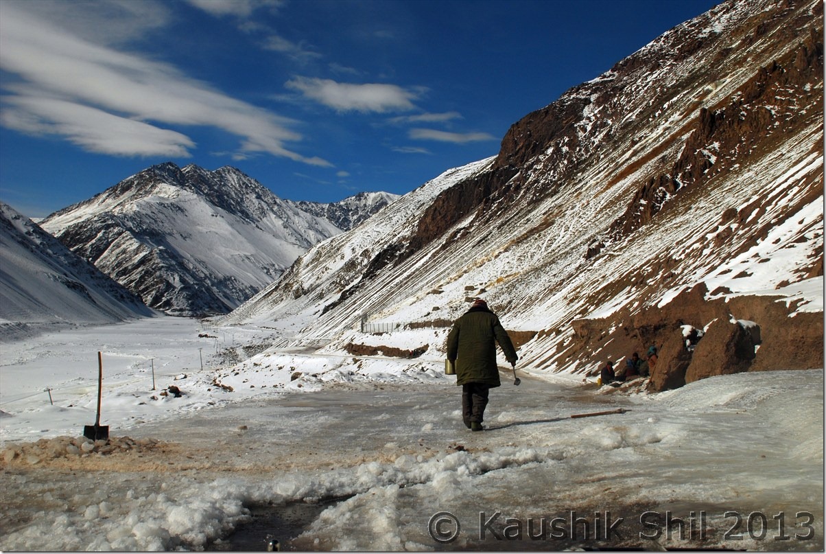
Amazing Vista:

DSC_0499

At Noyoma:

DSC_0521
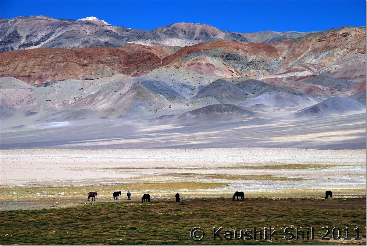
Ocean of Ice:

DSC_0532

Ice Age Returns:

DSC_0537

DSC_0541

Removing dangerous black ice from road:

DSC_0547

Mesmerizing Winter Ladakh:

DSC_0564

Previous: Ladakh in Winter – Time Frozen in a perfect White Out – Introduction

Next: Ladakh in Winter – Journey towards Chilling

Ladakh – Tsomoriri, Tso Kar, Tanglang La, Leh

6th October:

We started the day little lazily around 9.15, the maximum late start we had in whole trip. Took a stop closer to lake but again it was odd for photography, in morning sun was at eastern sky and we were at western end. Crossed Tso Kiagar soon and reached Sumdo by 11.00am. At Tsokar had some tea and first time during our trip got some clouds in the sky. We knew weather would deteriorate from 7th onwards and had a detour of few km towards More Plane and then finally took a U turn and head towards Leh. Leh – Manali highway in this side was just ok but we found lots of road works being done in every 200 mtrs and that caused significant delays in taking detours. We hit Tanglangla by 2.45pm but again stopped for 30 mins for road work. Finally reached Leh by 6.00pm and straight away head to Kidar GH again. Thanked God for completing an ambitious trip and it was blissful 2 days of rest at Leh that was badly due.

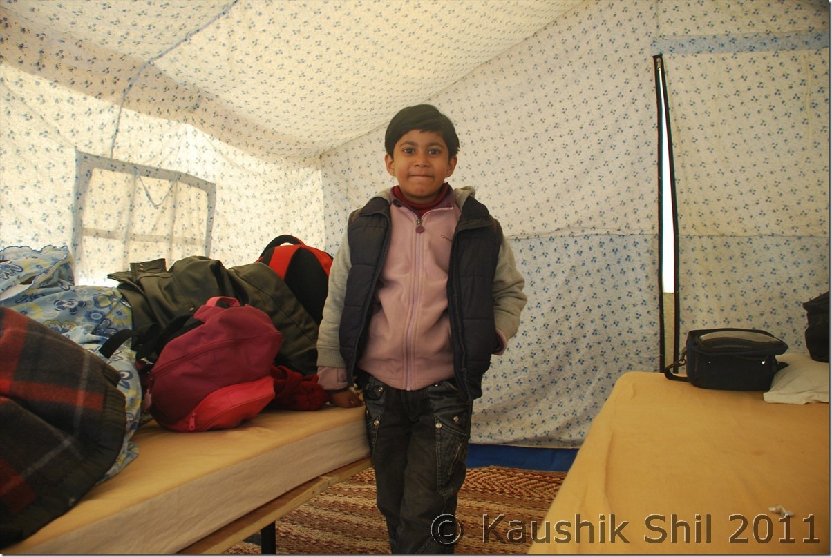
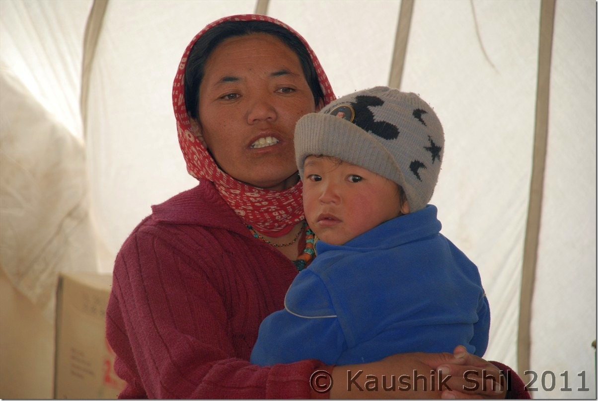
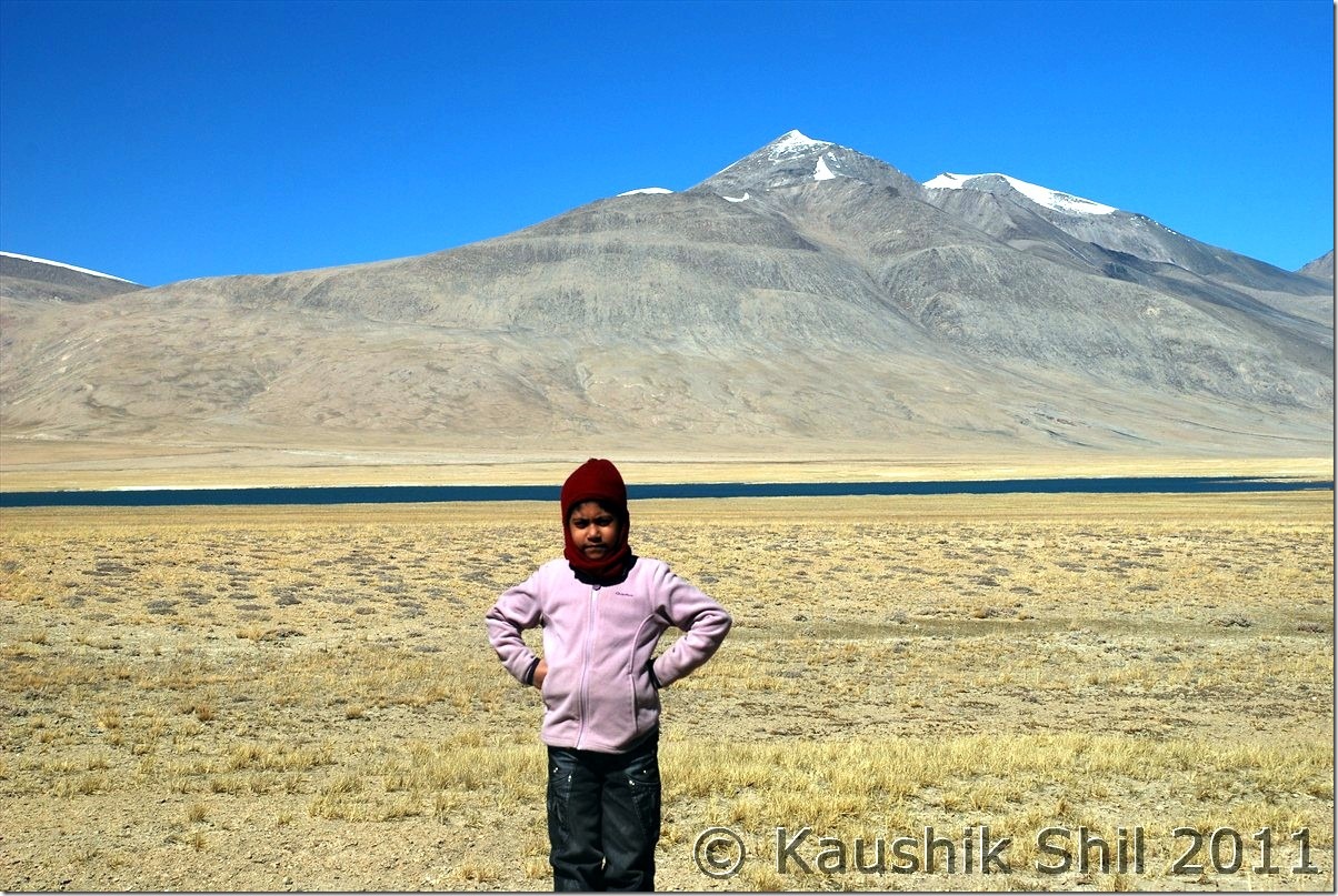
Kid was super excited in the tent:

DSC_30104

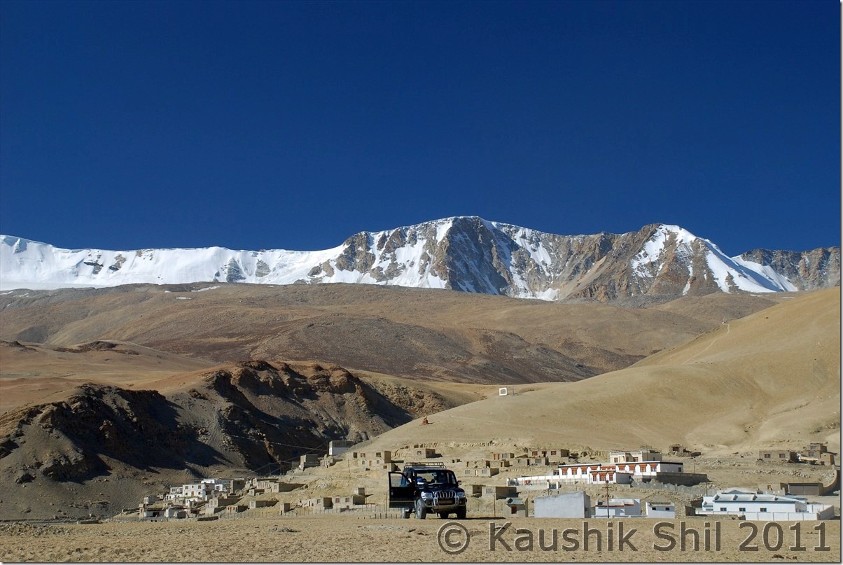
Korzok Village:

DSC_30113

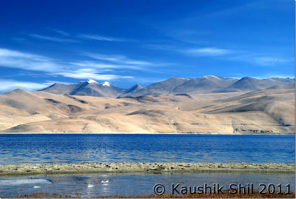
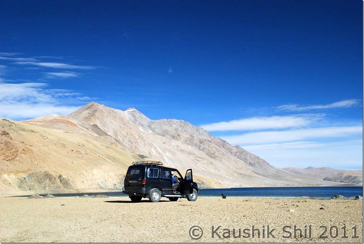
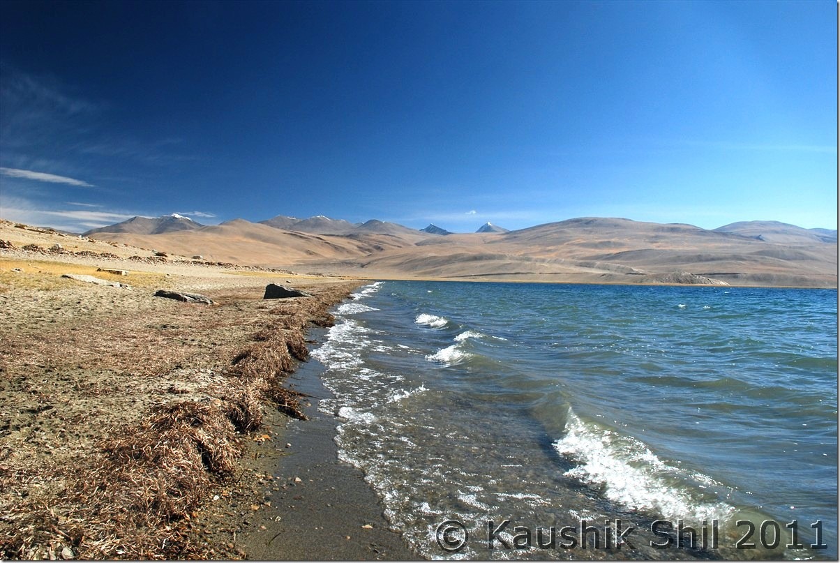
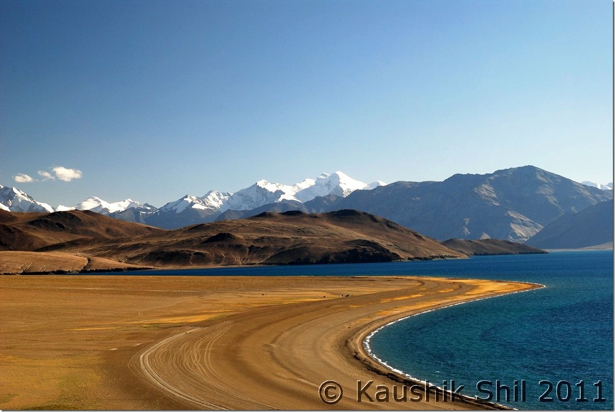
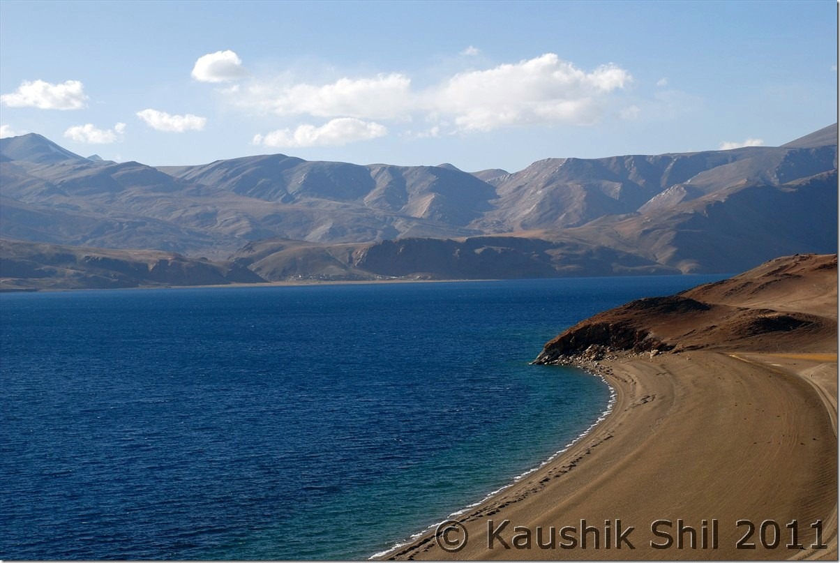
Tsomoriri – at Korzok:

DSC_30114 DSC_30128 DSC_30130 DSC_30133

Tso Kiagar:

DSC_30144

Sumdo Village:

DSC_30160

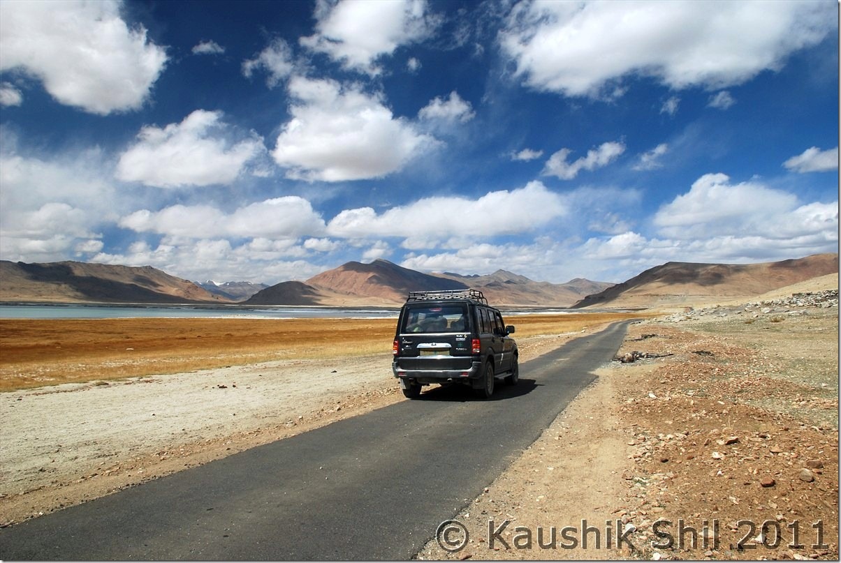
Road towards Tso Kar:

DSC_30166 - Copy DSC_30175 - Copy

Tso kar:

DSC_30183 DSC_30202

Tso Kar Village:

DSC_30210

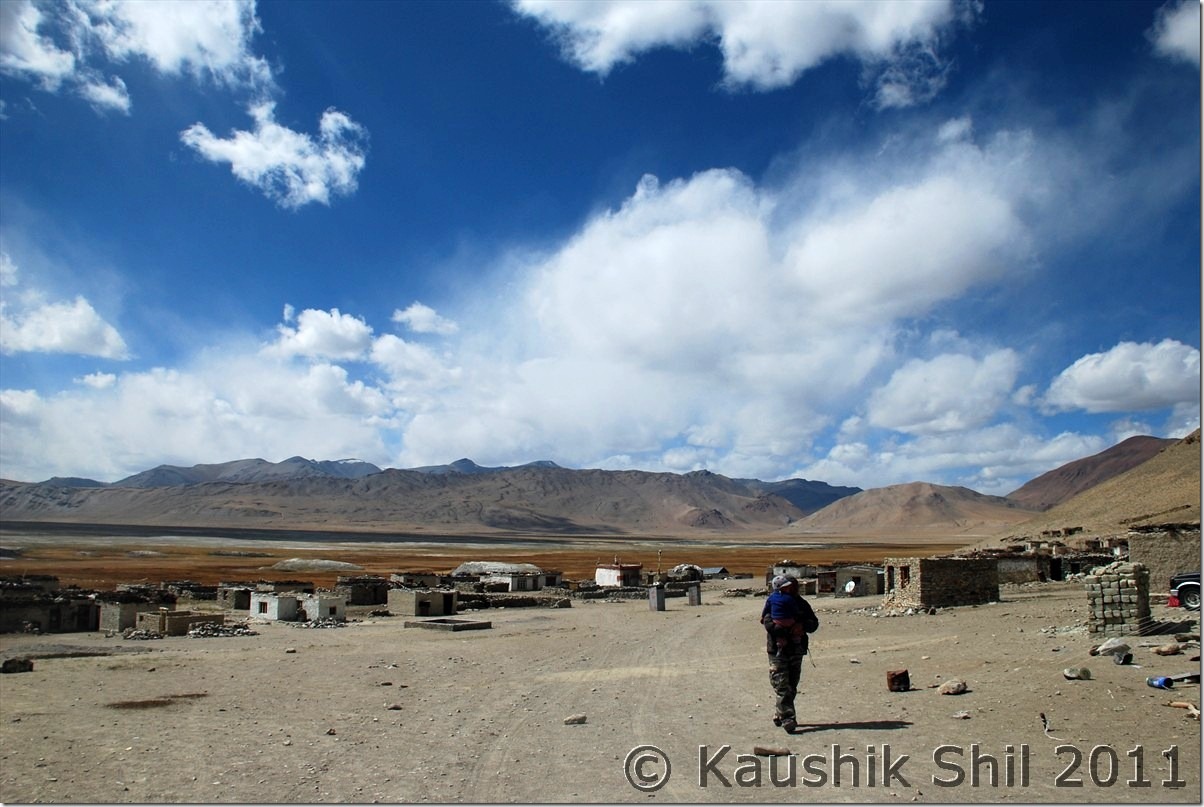
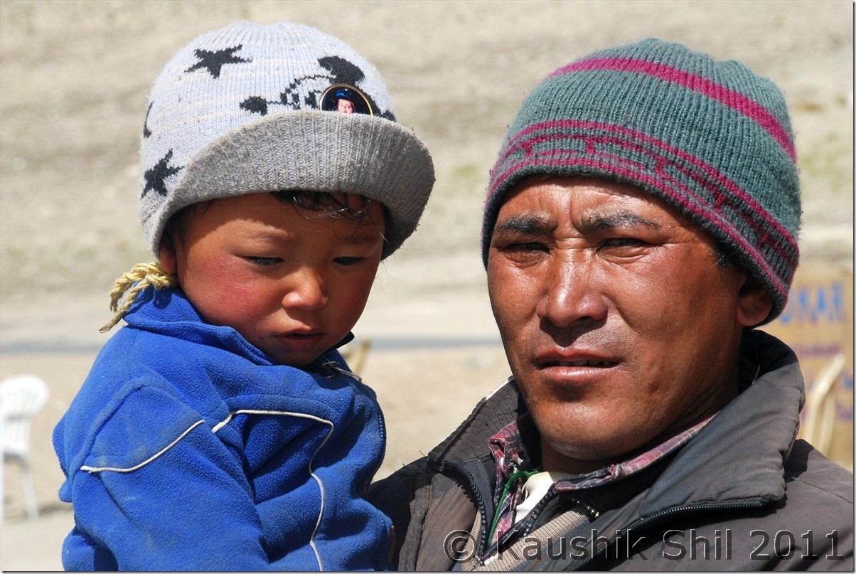
Nomads at Tso Kar Village:

DSC_30211 DSC_30214

More Planes:

DSC_30235

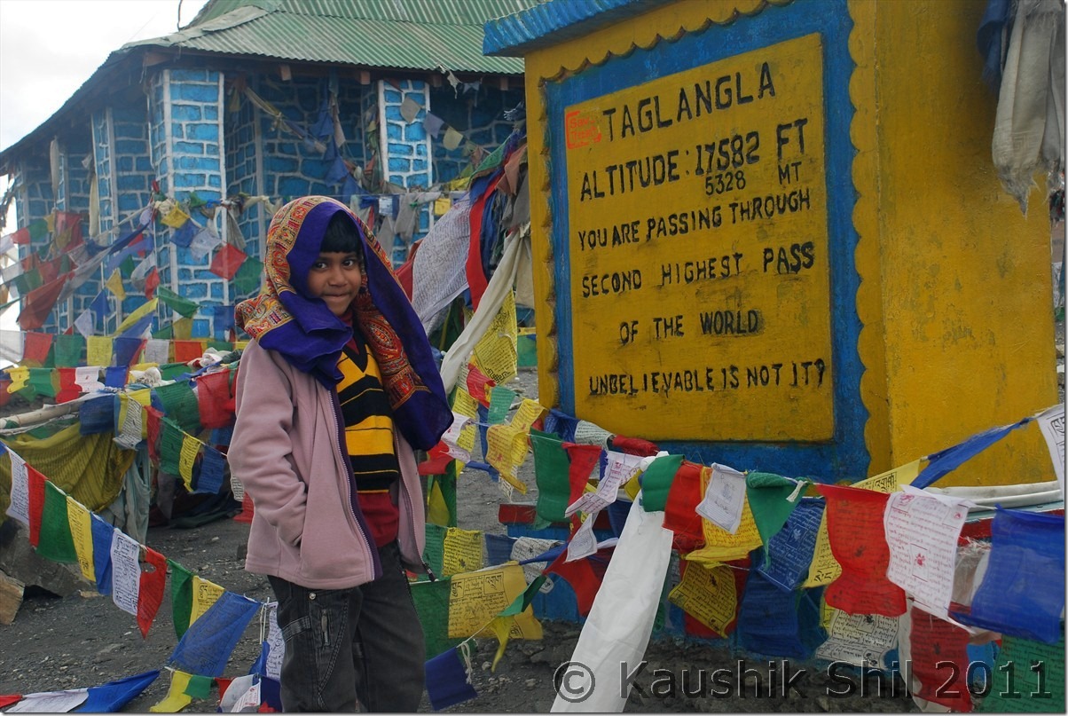
Tanglang la Top:

DSC_30250

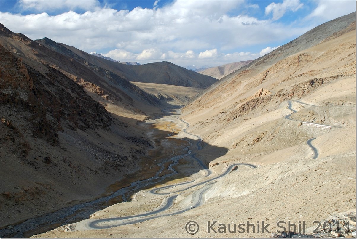
Tanglangla Descent towards Leh:

DSC_30262

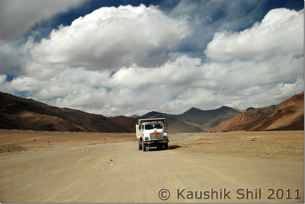
Road towards Leh:

DSC_30267 DSC_30295

Previous: Ladakh – Kyun Tso, Salsal La, Chumur to Tsomoriri

Next: Ladakh – Journey Ends at Leh and Flight Back Home

Ladakh – Kyun Tso, Salsal La, Chumur to Tsomoriri

5th October:

We were ready with another adventure filled day ahead of us. Harsh was of great help with details of this stretch but we were still skeptic with if we really could manage to find our roads to Tsomoriri via Chumur. We started early by 8.30am on that day and plan was to take Hanle – Kyun Tso – Salsal la and then reaching Chumur and tracing back the path to Tee joint as mentioned in Harsh’s map and back to Tso moriri via Charchaghan la. We had few concerns, if we could manage Charchaghan la if it was still not blasted, if we could find the road without any GPS/Compass and if we turn back, could we climb up Salsal la as it was pretty steep as reported in Harsh’s log. We had plans to take the Kyun Tso – Nidar – Nyoma route as backup if we couldn’t find/ manage Tsomoriri route, but then we knew we didn’t have the names of Nyoma / Mahe/ Sumdo mentioned in our permits. Not having much choice left, we had to start, only hope our luck, it was surprisingly favouring us all through the trip.

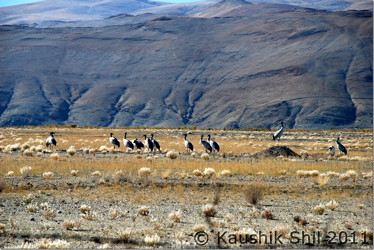
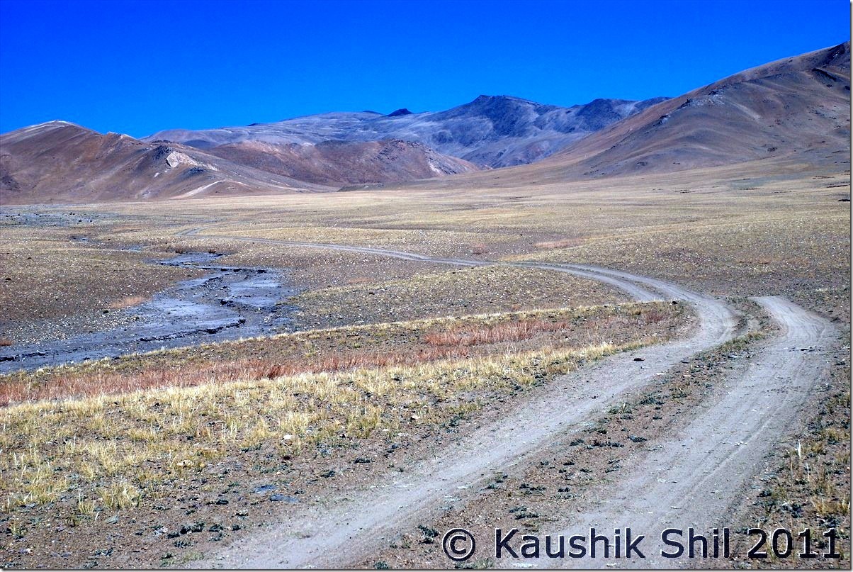
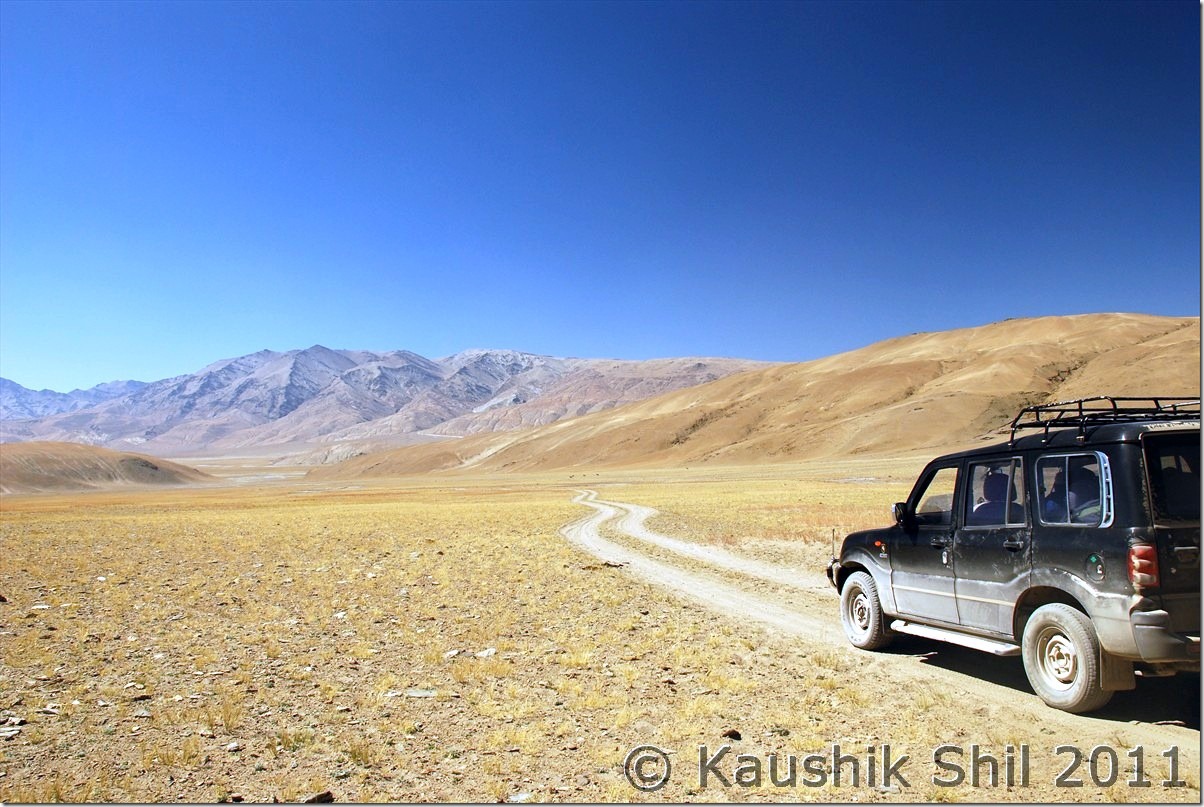
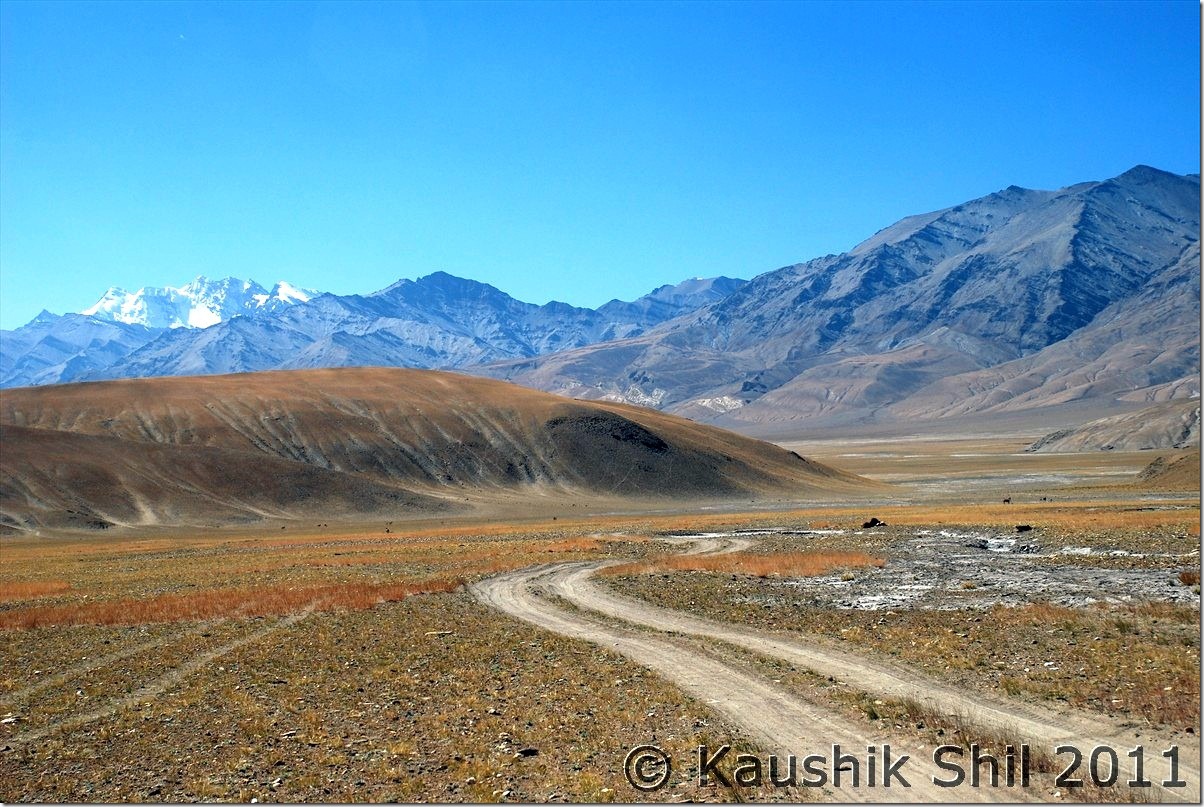
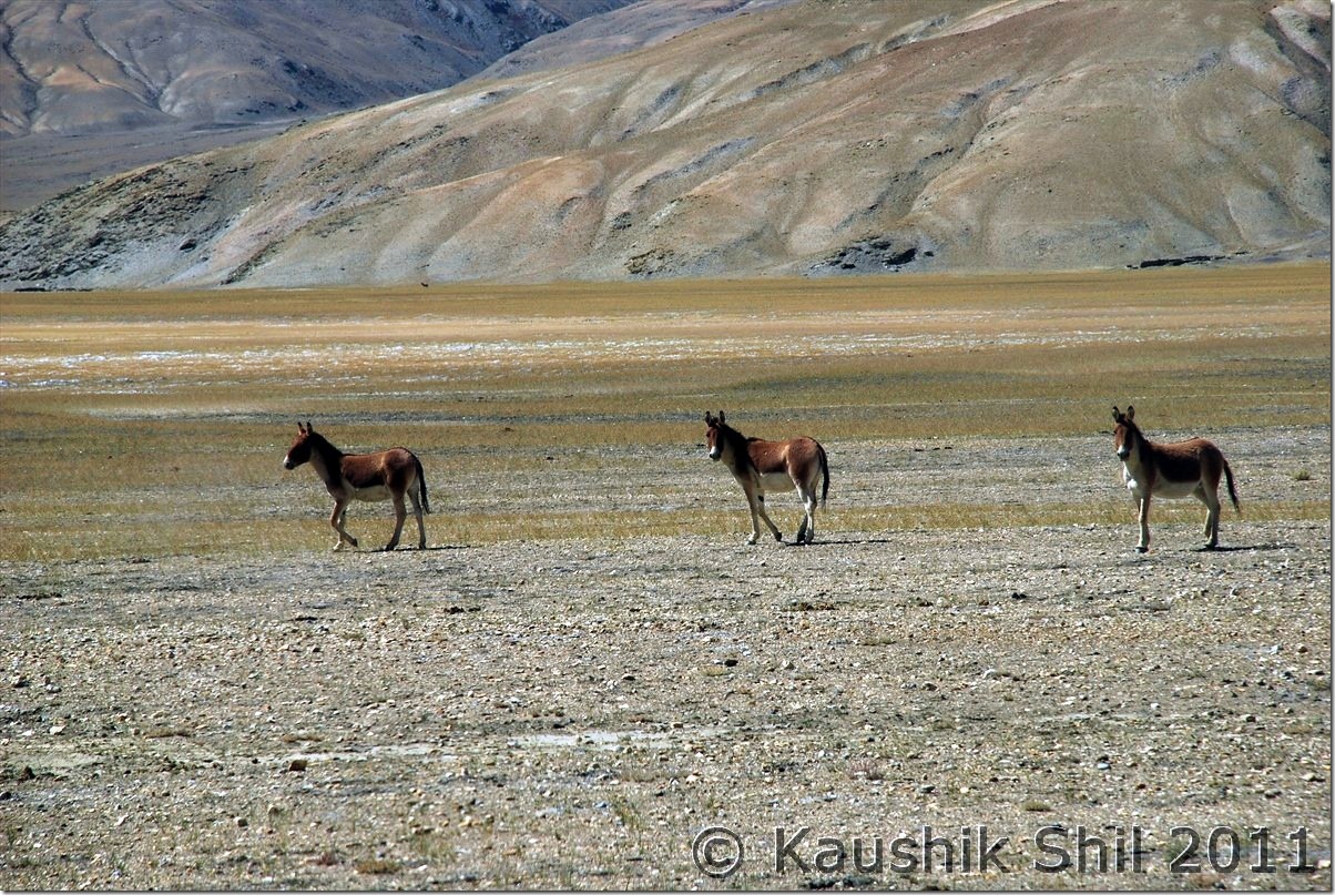
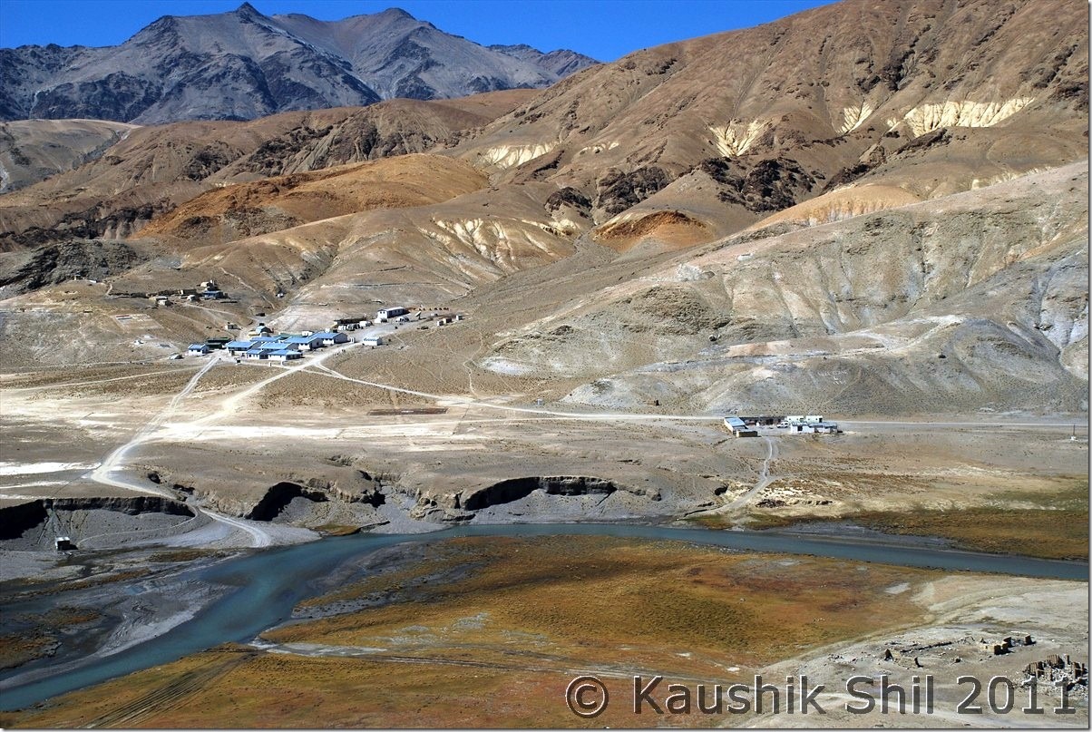
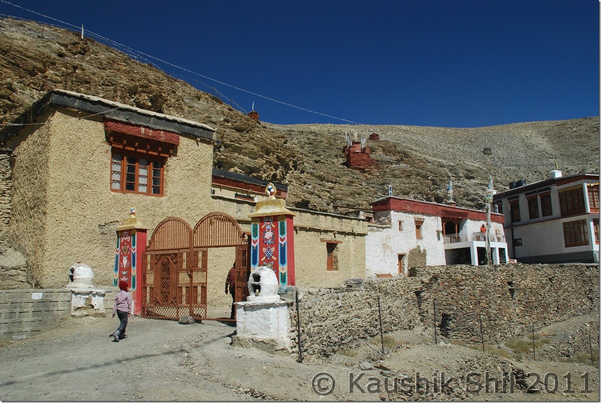
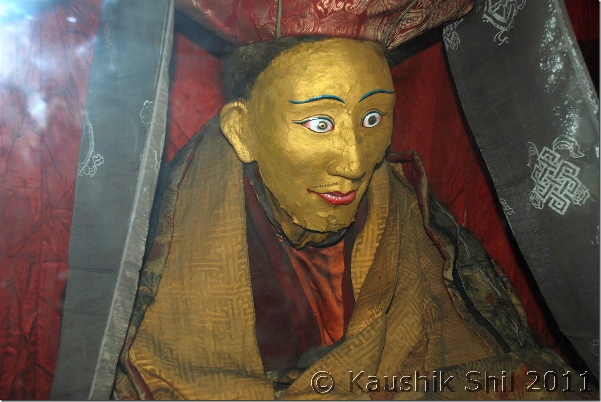
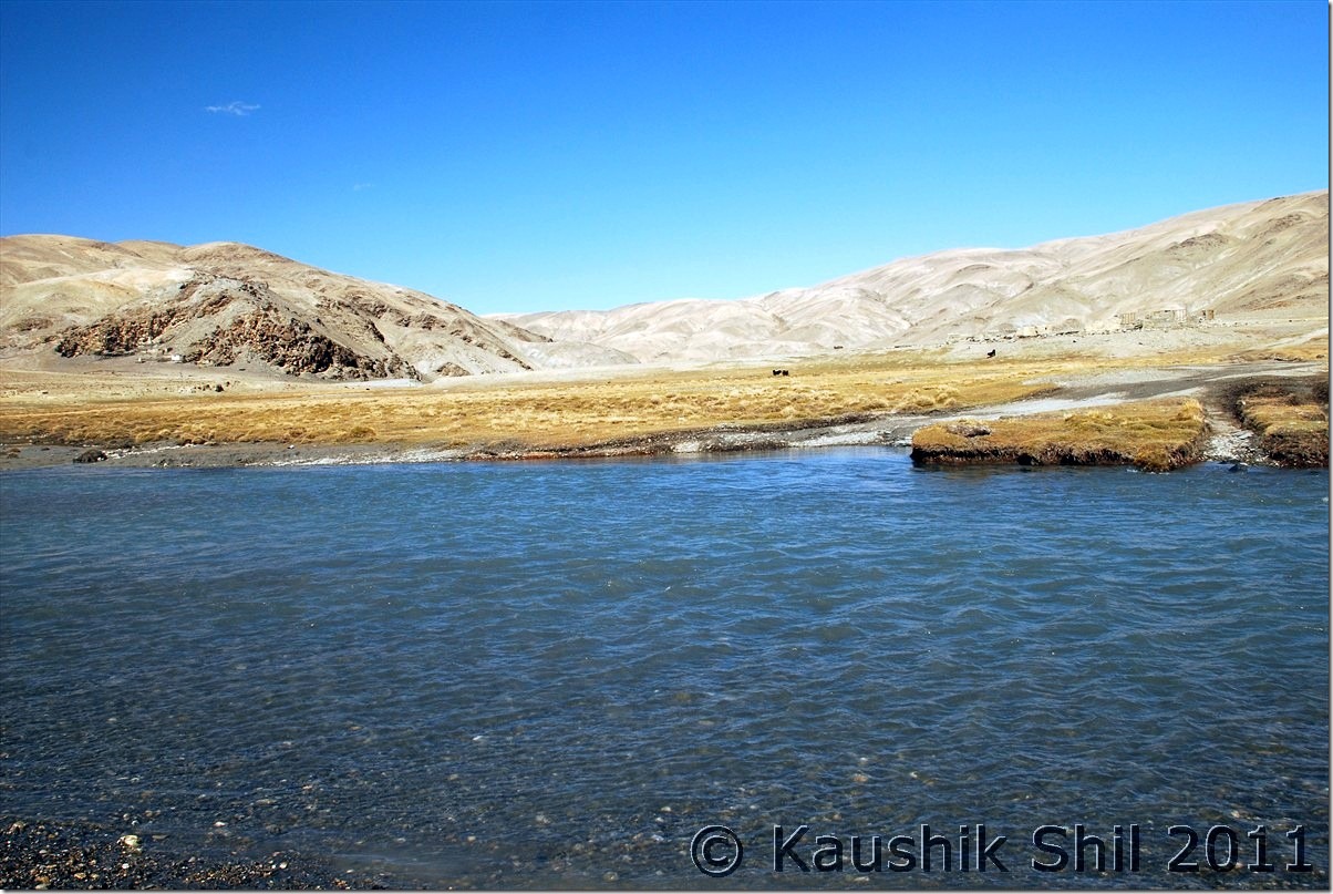
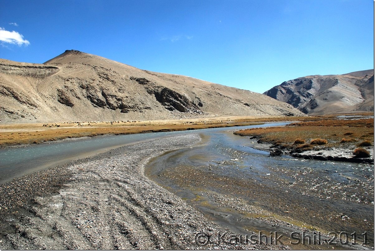
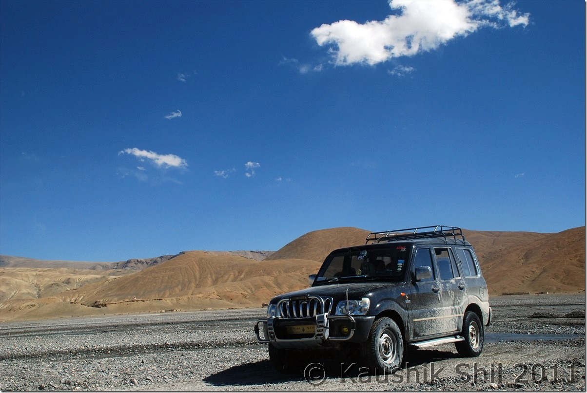
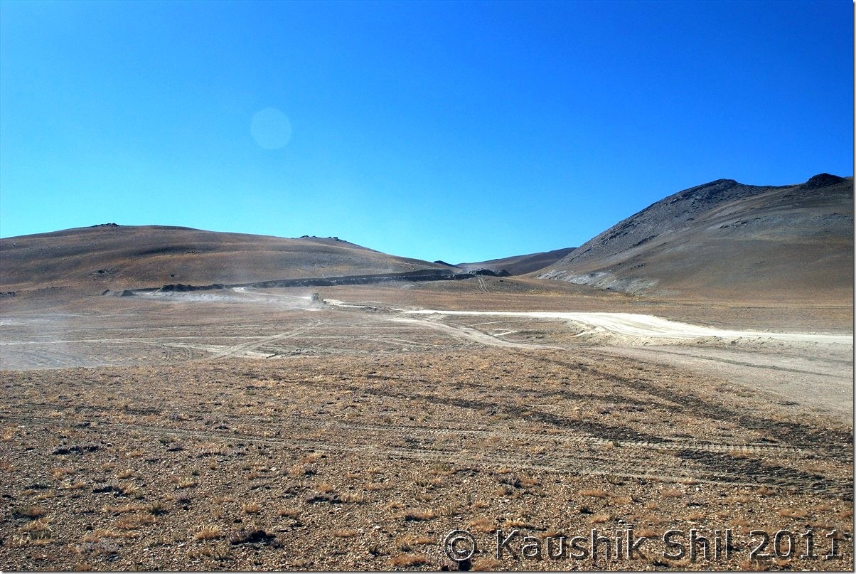
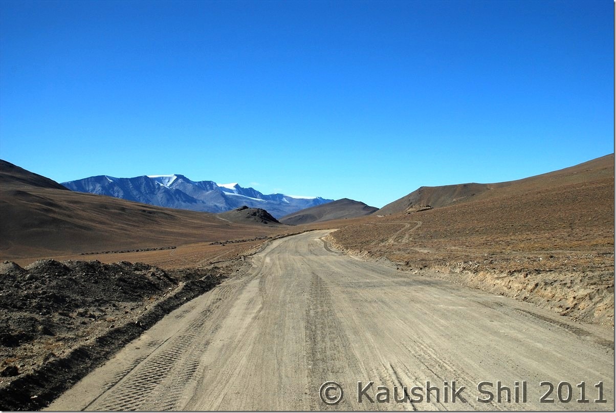
We came to main road from observatory GH and took a right straight away to the village (left would take you towards monastery and the junction of Photila/Loma roads). Soon after crossing the village we found a lot of black neck cranes and it was a pleasure to see them from so close. Soon it seems we were entering a no man’s land, only directions are the poles as Harsh mentioned in his log. Few extremely difficult stretch of washed out areas and we were into a desolate Himalayan terrain with no soul around. In just 2 hours with 45km of drive we discovered Kyun Tso. It was a pleasing site. We stopped for photo breaks and just before this we found a track in our right towards Nyoma. We headed straight and in another 6 km we found the dramatic descent of Salsal la. It is a frightening sight, God knows how Harsh climbed it up from other side but best part was the road now blasted and the new road’s gradient was much smoother and in case we had to trace back the route, we could climb it up again. We gone down below and after crossing a small Nalla, we suddenly lost the pole markers. We tried our best to find the correct route, we couldn’t. Our only option was either to follow tyre tracks forward or to be back via Nyoma. We trusted our lucks and praying hard but decided to go forward. Soon we were brought into a large green pastures of land with many sheep grazing. We were little hopeful with signs of lives around. Kiangs were roaming and big snow peaks all around, a true remote Changthang feel is what you would get here. After another 10km, we found a place towards right and identified it as an ITBP camp. It was the Chumur ITBP and we saw the Nulla without Bridge at right too. We were already at the side of the Nulla where Chumur village is and realized the actual road was coming from other side of Nalla which we lost in the middle after crossing Salsal la. We visited the monastery which was behind a mountain and a small pass. Lamas were friendly and they showed us mummy and the cut off hands of witch those were the special attractions here. A new road was built below the monastery towards LAC mainly for military movement and villagers reiterated Chinese incursions happened there on 25th August. It was another 12km from the monastery where the Chinese army destroyed our unused bunkers. We had quick visit to the monastery and when asked about the road to Tsomoriri we got mixed answers. We heard road to Tsomoriri was in a very nice shape but when we asked about the point from where Tsomoriri and Salsal la road bifurcates, the monk answered calmly “You can’t manage to find it without a GPS” I was shocked but then he said, I had to cross the Nalla towards ITBP Camp and then take the straight road to right and ensure I shouldn’t divert towards Salsal la but neither of us had an idea how to ensure that. He mentioned if you could cross the Nalla, you would almost reach Tsomoriri, I asked quickly what’s the problem in crossing the Nalla, he said it’s difficult to cross after 2.00pm. It was already 2.00pm by then and we hurriedly proceeded towards the ITBP. From top what we saw was not encouraging, the place where the tyre tracks could be seen was at least 30 ft wide and it was flowing in full rage. We couldn’t guess the depth even as it’s appeared to be deep with blue clear water but so turbulent we couldn’t see the anything below. First time we felt we had to retreat here. Regzin tried in various ways to guess the depth but of no use. Honestly we were scared as retracing the whole road means uncertainty as we didn’t know how to go to the Tsomoriri road from Salsal la. Regzin aligned the Scorpio with the tyre marks and he was clearly nervous too. We gone back 50 mtrs and then he gave the final push, for few seconds we clearly felt we were drifting and then in the momentum we came to the other side, unbelievable experience but we crossed and in the whole trip we haven’t scared more. Regzin took a break to check if water gone into any filter/engine but fortunately it was all okay. We started our onward journey through Chumur ITBP, no one there asked any questions and we soon hit a deserted stretch with sands all around. The poles appeared again but the sands were unbelievably sticky. With every 200 mtrs we had to stop the car and clean the wind screen, rear windows, mirrors to get the minimum visibility. Every time we were stopping we were risking of getting stuck too as sand was too soft. It was a horrible time and worse was we didn’t know if we were in right track, only hope was the poles were still there. Soon beside the poles we found some red flags as markers too, running almost parallel but that was adding confusion, couldn’t understand what were those markers for. Soon we realized that’s the alignment of new road that is coming from Tsomoriri and we were overjoyed to realize that we were in right track. After few more km we started finding the new roads approaching to Chumur. It was simply a 4 lane highway and surely looks much better than current Leh-Manali or Leh-Srinagar highway. With a pleasant surprise we took the new road and it was still an unpaved road but blasted and properly leveled one. Soon we understood Charchaghan La was properly blasted and we reached the top soon. Once descending we got some amazing view of Tsomoriri which one can’t get from Korzok end. Couldn’t take snaps well as we were at eastern end of lake and sun was on western sky. Finally we reached Korzok by 5.00pm but surprisingly found the whole village was packed with Bengali tourists, we were hit by Puja rush for first time in our trip, forced to get the last tent available in only tented accommodation there at a bargain price of 2000/- for double with kid. But we were told they would wind up on 6th and if we wanted to stay further we needed to find some alternatives. The night was absolutely chilling and windy and we decided to move to Leh on next day as accommodation was really difficult to manage, so late in the season. I had 2 backup days then initially planned for Leh – Manali but after such a hectic trip we decided take complete rest and then to fly out from Leh.

The car odo reading was as follows:

Hanle : 844
Kyun Tso: 891
Salsal La (17200ft) : 897
Chumur: 933
North end of lake at Bridge: 010
Korzok: 020

Black Neck Cranes near Hanle Village:

DSC_20882

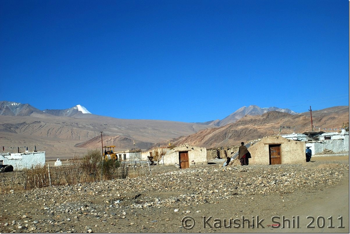
Hanle Village:

DSC_20888

Smart Kid at Hanle:

DSC_20895

Kyun Tso

DSC_20938

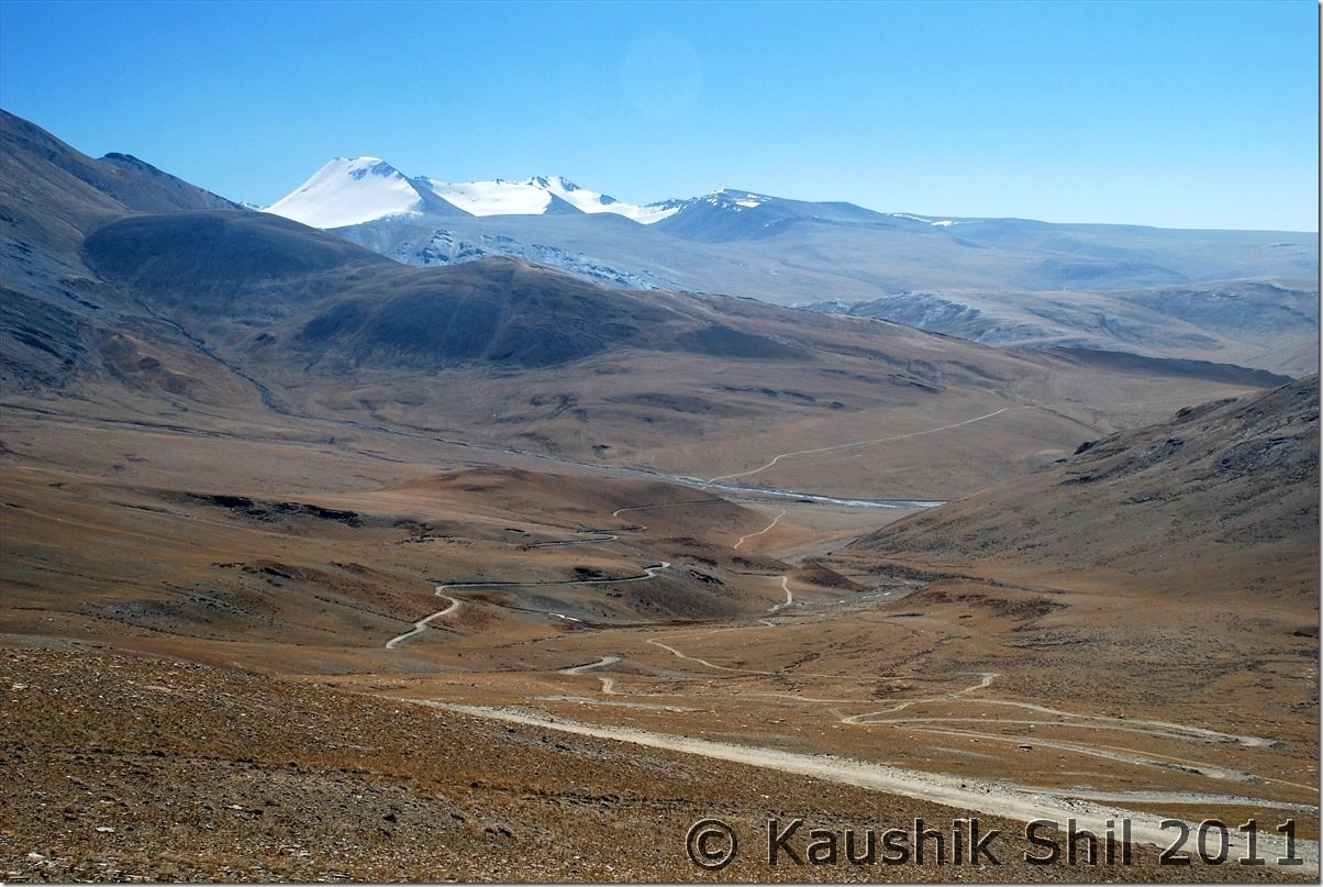
The Dramatic Descent from Salsal la towards Chumur, blasted road at left and old road at right:

DSC_20966

After this we lost the pole markers and tyre tracks lead us to a grassland:

DSC_20977 DSC_20982 DSC_20984 DSC_20986

Only living being apart from us were these Kiangs:

DSC_20995

Here we identified Chumur ITBP and realized the actual road was on other side of the river, we somehow came here by loosing the actual road but now after Chumur we had to cross this:

DSC_21002

Chumur Monastery:

DSC_21006

The mummy of Lama at Chumur, the one we saw at Giu in Spiti was more realistic looking, here they painted the mummy:

DSC_21008

We had to cross this Demon to reach Tsomoriri from Chumur, it was very scaring:

DSC_30001

It was really big and fierce one:

DSC_30004

Absolute remote Changthang:

DSC_30013

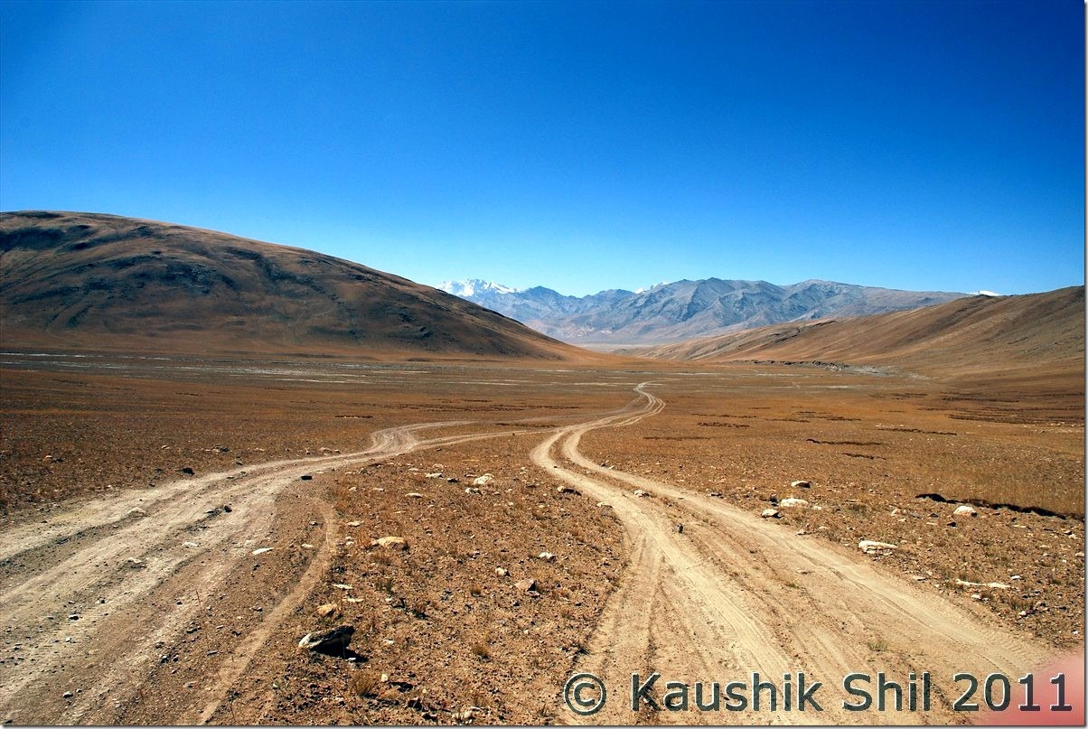
Now holding the nerve and following the tyre marks were key, we had no GPS or Compass, which one must carry here:

DSC_30014

At last we got the blasted new roads to Tsomoriri via Charchagan La, it was a nice wide road:

DSC_30017

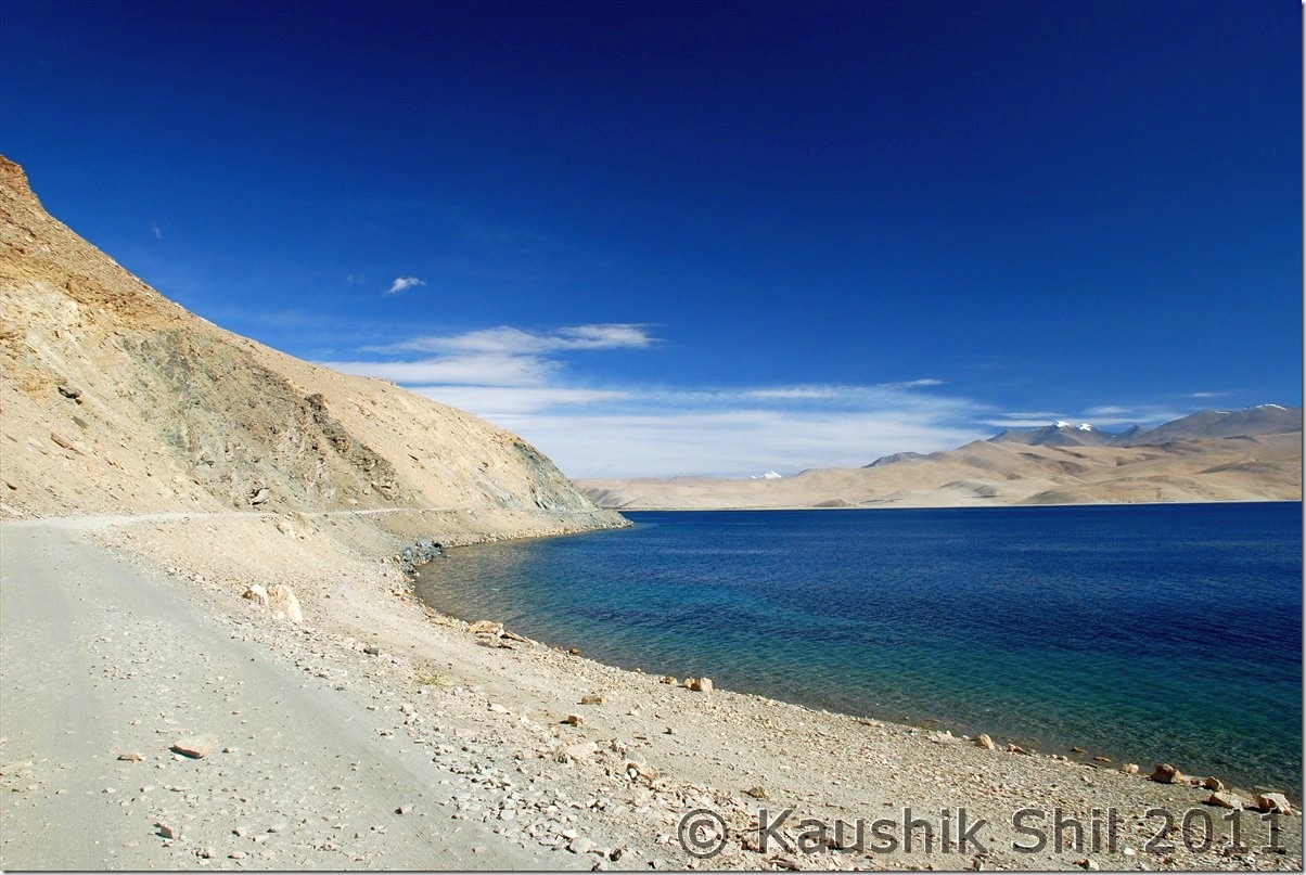
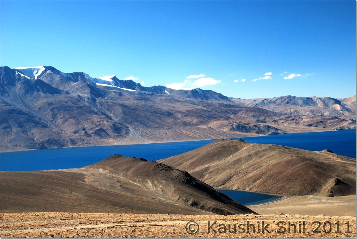
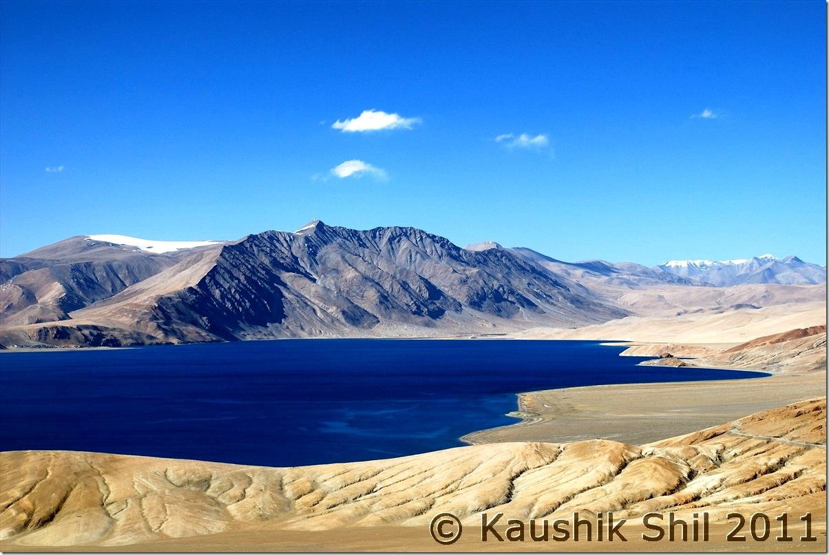
Amazing Tsomoriri all the way towards Korzok from Charchaghan La:

DSC_30031 DSC_30032 DSC_30078 DSC_30080

Previous: Ladakh – Merak, Chusul, Hanle, Koyul and Demchok, the last point on LAC between India and China

Next: Ladakh – Tsomoriri, Tso Kar, Tanglang La, Leh

Ladakh – Exploring Zanskar, Ladakh and Remote Changthang – Introduction

Managing Zanskar and Ladakh in one go for 18 days with kid, possible? The question was looming large but then planning to Demchok and Chumur adds more uncertainty and seems to be an insane idea. Now while going to Demchok from Hanle, crossing Photila and trying Tsomoriri directly from Hanle, won’t it be crazy? Yes we started a well planned trip with lots of input from this forum but honestly it gone beyond sanity to try with just wife and kid. We enjoyed thoroughly and in God’s grace got excellent weather. This is the time to share our experience.

I have been to Ladakh earlier and knew the challenges, challenge of acclimatizing your body with that height of 11K+ almost through out the trip, desolate and remoteness of the Zanskar Valley and Changthang Plateau, choosing the right window for travel considering the early and late seasons are full of uncertainties and actual small 2 month’s window of July and August are terribly crowded. For me it was more challenging as I was going to take this trip with just my wife and kid of 6.5 yrs. Getting a car with reasonable price and knowledgeable drivers who have some ideas beyond Nubra/Pangong/Tsomoriri were a must to make this trip a success. Number of Taxi Unions and their self proclaimed rules in their own areas were another mess you need to handle if you want to take up this trip. Kargil Cars can take you to Zanskar but can’t take you back without paying a premium to Zanskar Union, for Zanskar sight seeing you have to take Zanskar Cabs, Kargil Cabs can take you to Leh but can’t do sightseeing in Lamayuru etc. enroute. I was again lucky to get introduced to ex.Taxi Union President of Kargil Mr. Rehman, a nice gentleman who helped me to get Kazim, a middle aged person with a Scorpio and Xylo and it’s because of him I was able to complete my Zanskar trip. Ladakh part was never be possible without Regzin, who was simply outstanding and being an ex. army of Ladakh Scouts and posted in all corners of Ladakh including Siachen, DBO, Chumur, Demchok for 18 years, he knew how to follow the tyre track and common sense for hundreds of km before coming across the first vehicle for opposite side without any direction or maps.

Another funny part was the plans and backups I kept, I had to cancel 5 sets of tickets for different sectors those were planned as my backup in different stages. My idea was to visit through Srinagar but had to keep Del-Leh flight open in case situation in Srinagar Valley turns volatile, similarly I kept my return plan open so that I can travel to Leh – Manali or can fly out from Leh directly which I did eventually. I even had to cancel a Del-Kolkata Rajdhani ticket while my Del-Kol flight was taxied to runway which I kept in case Leh-Del flight gets cancelled and subsequently my Kolkata connection would have missed.

Weather in this region was a big ask, you never know when that could change dramatically but with God’s grace and good wishes of many other friends, I got probably the best weather possible, first time I saw cloud in the sky on my last day of the trip, it was absolutely cloudless and blue sky with fall colors all around.

The Trip Schedule is like this:

Day 1 – Fly from Kolkata to Srinagar via Delhi and on same day proceed to Sonmarg and stay

Day 2 – Sonmarg – Jojila – Drass – Kargil – Purtikchey

Day 3 – Purtikchey – Panikhar – Parkachik – Rangdum – Pensi La – Padum

Day 4 – Padum Stay and visit Strongde Monastery, Zangla Palace, Bardan Monastery and Karsha Monastery

Day 5 – Padum – Sankhoo

Day 6 – Sankhoo – Kharse Khar Village for Maiterya Buddha – Kargil – Leh

Day 7- Leh Permits and Local Sight Seeing

Day 8 – Leh – Khardung La – Nubra Valley – Hunder

Day 9 – Hunder – Turtuk – Deskit

Day 10 – Deskit – Wari La – Chang La – Tangtse

Day 1 1 – Tangtse – Spangmik

Day 12 – Spangmik – Man – Merak – Chusul – Tsga La – Loma – Hanle

Day 13 – Hanle – Photi La – Photile – Koyul – Demchok  Back to Hanle

Day 14 – Hanle – Kyun Tso – Salsal La – Chumur – Charchagan La – Tsomoriri

Day 15 – Tsomoriri – Tso Kar – Tanglang La – Leh

Day 16 – Spare Day at Leh

Day 17 – Spare Day at Leh

Day 18 – Flying from Leh to Kolkata via Delhi

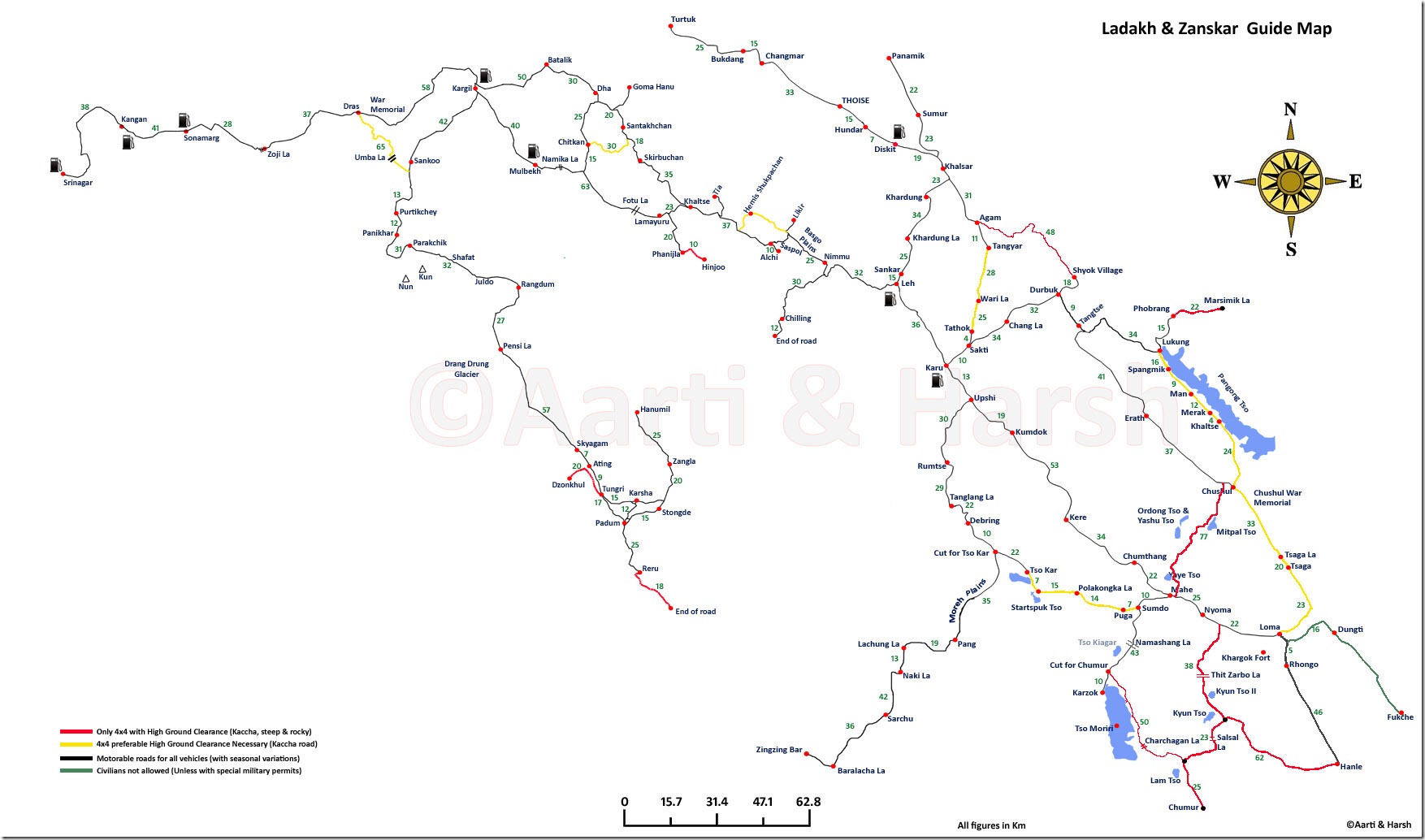
The map Harsh and Aarti had prepared is simply invaluable and to my knowledge the best map that is available for anyone wants to visit this area. Please refer to the map below to understand the route plan properly. Thanks Harsh and Aarti again for this wonderful effort and you were the inspiration of our trip.

Harsh_Ladakh_Zanskar Map

Few Highlights before we start the detail of the trip:

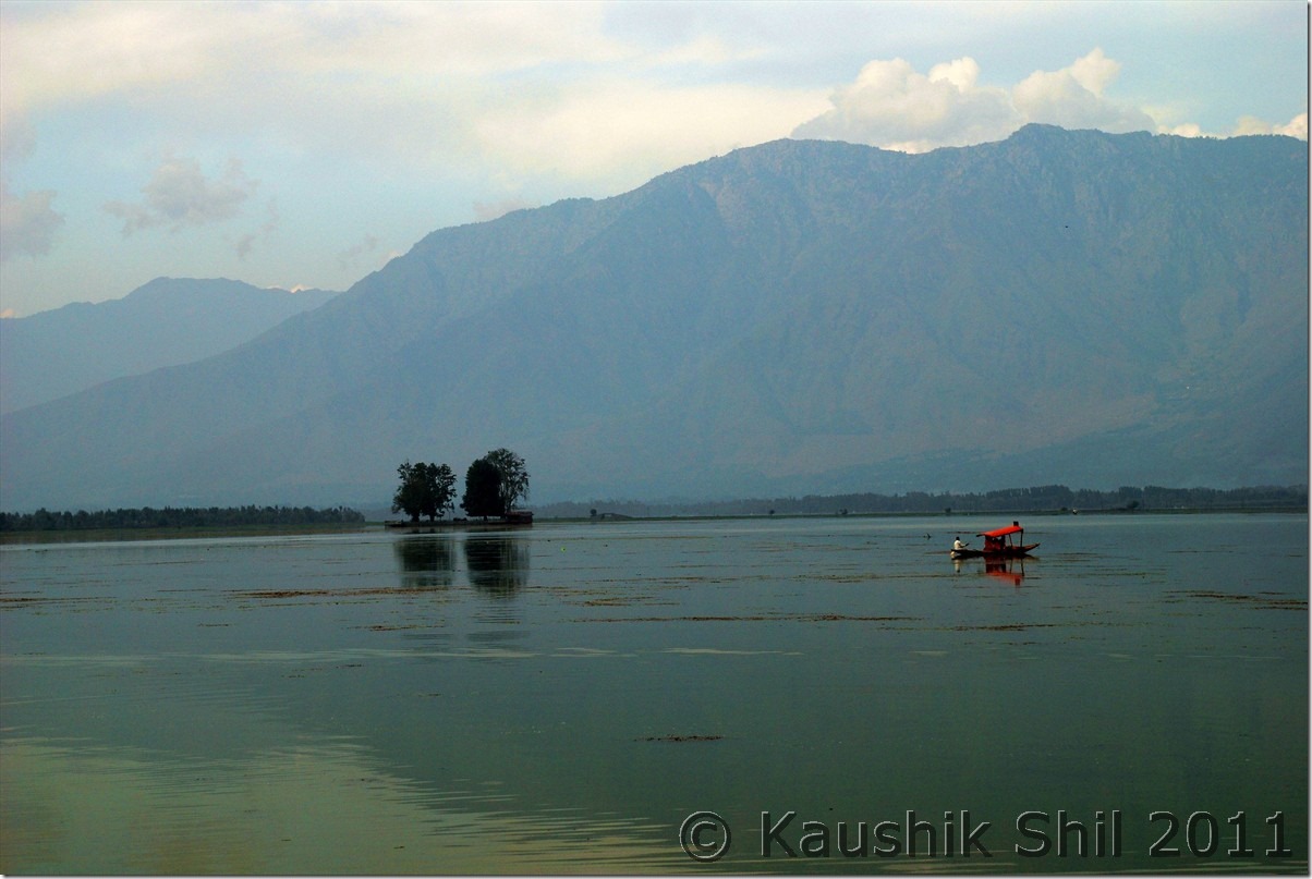
Dal Lake, Srinagar:

DSC_0046

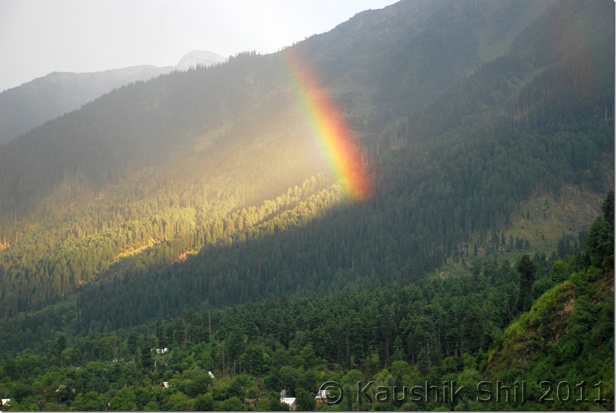
The Rainbow:

DSC_0068

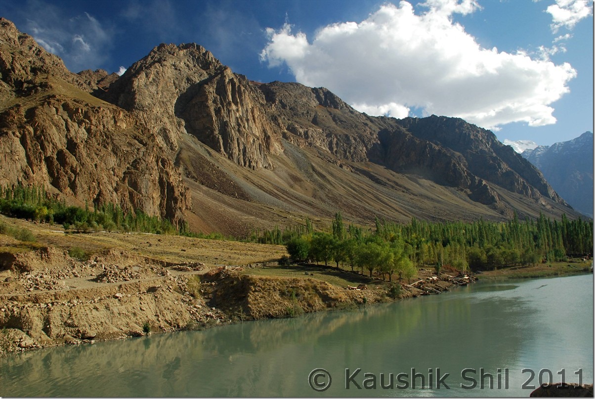
Entering the Suru Valley, Zanskar

DSC_0261

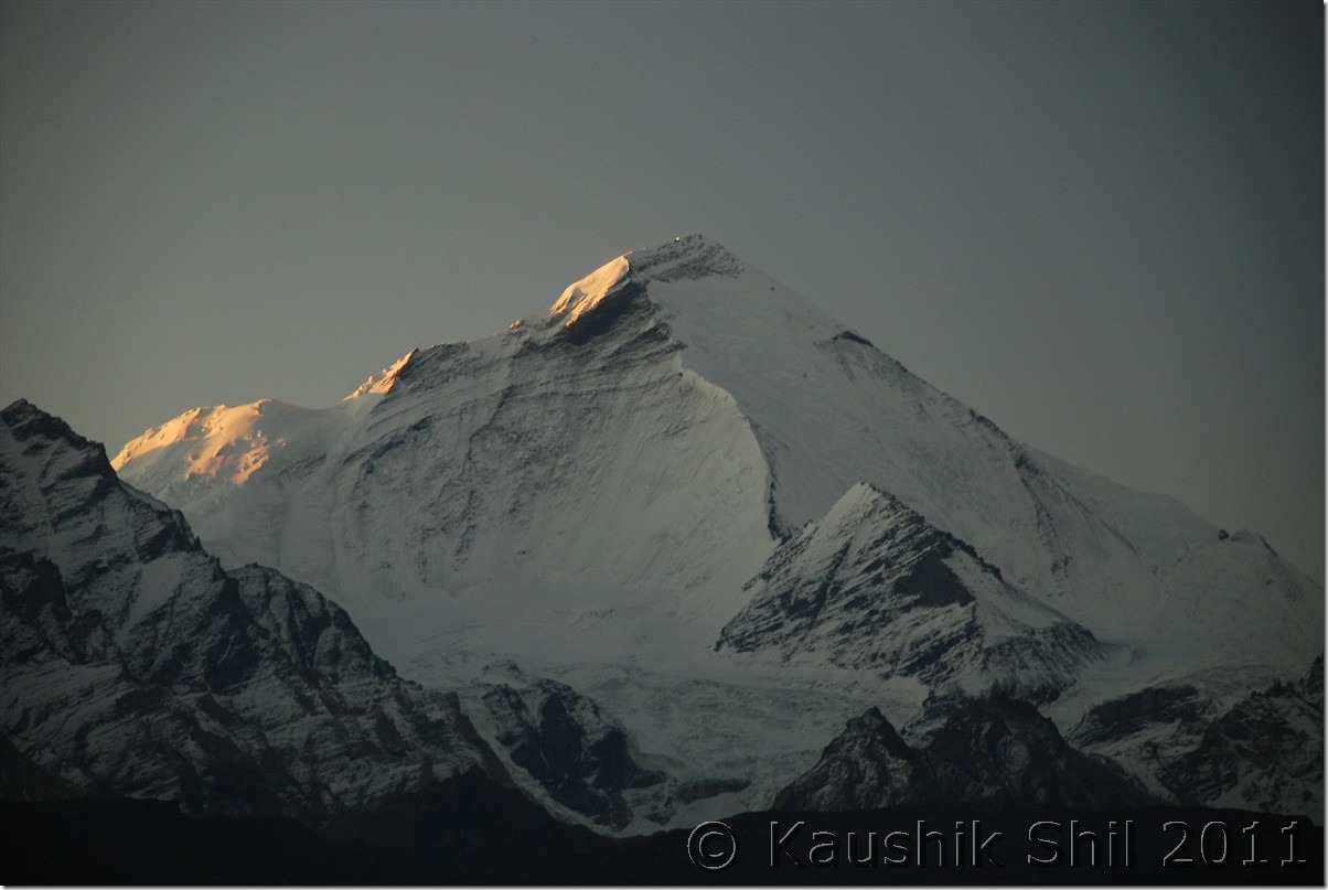
First Ray of Sun on Mt. Nun

DSC_0291

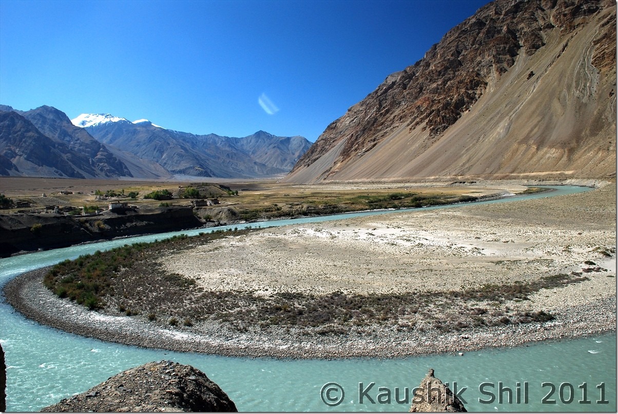
Zanskar River takes Horse Shoe Bend near Padum

DSC_0623

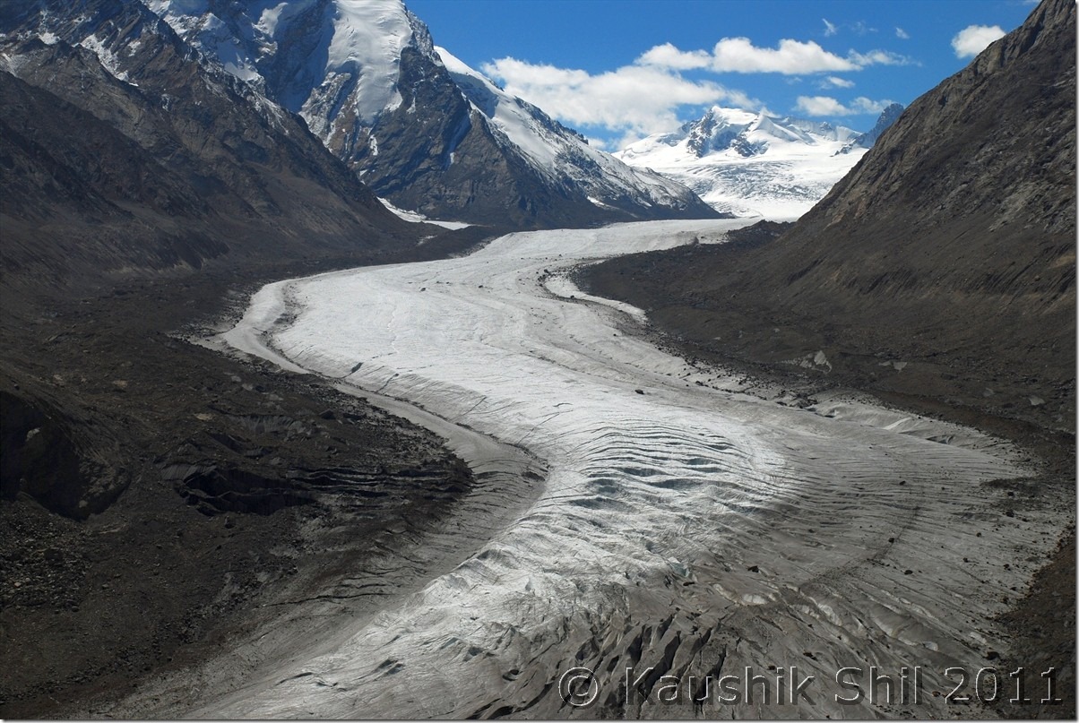
Amazing Drang Drung Glacier:

DSC_0849

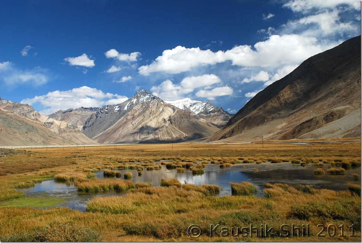
Typical Zanskar Grassland :

DSC_0885

Kargil:

DSC_0931

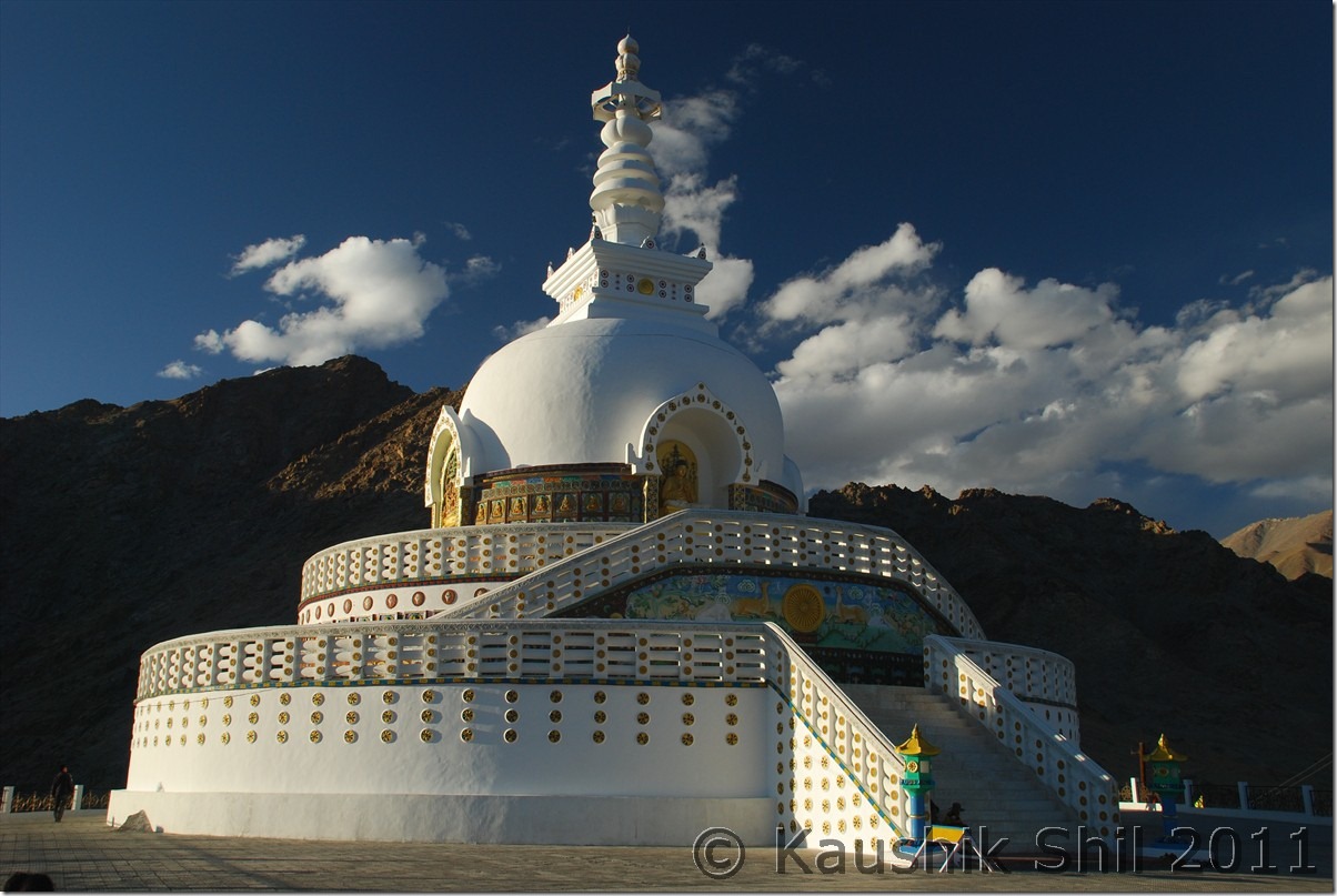
Shanti Stupa, Leh

DSC_10105

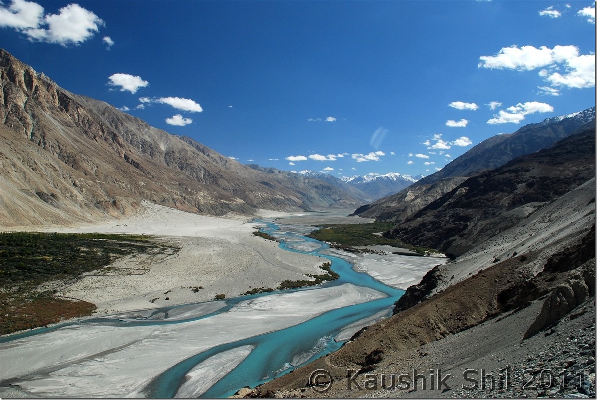
Shyok (The River of Death) near Nubra:

DSC_10179

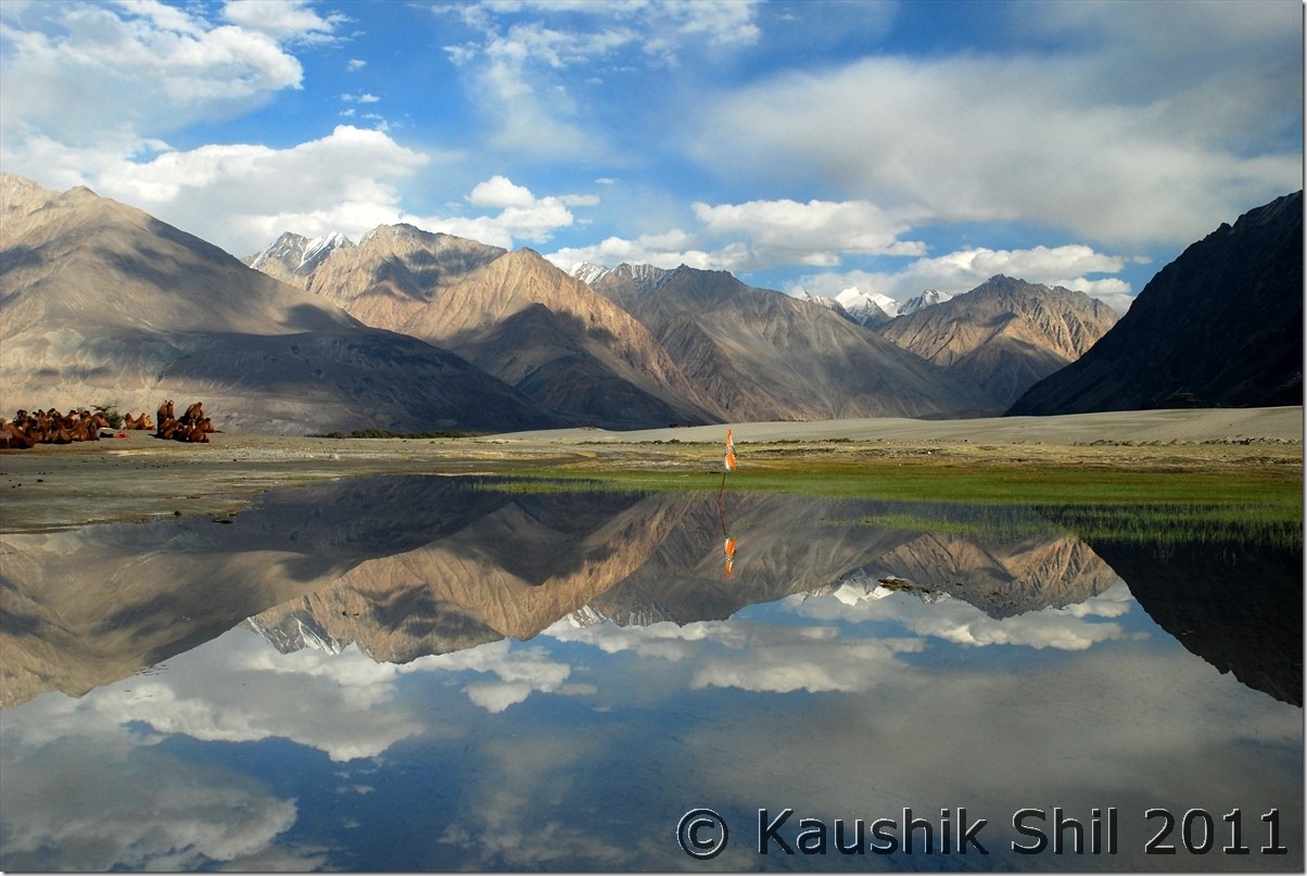
Hundar – Reflections

DSC_10255

Beautiful Fall Colors near Shakti

DSC_20125

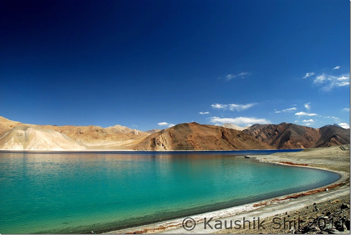
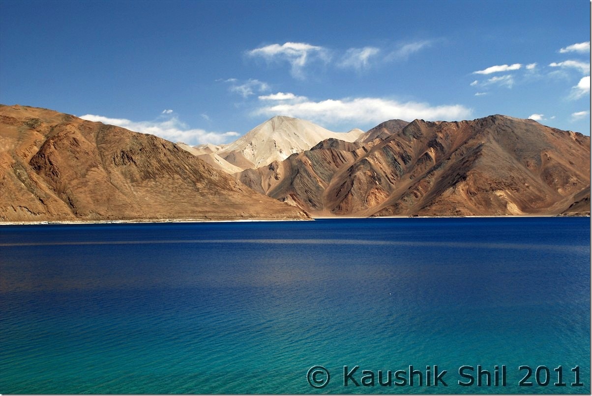
Magic Lake, Pangong Tso, no introduction needed:

DSC_20280 DSC_20282

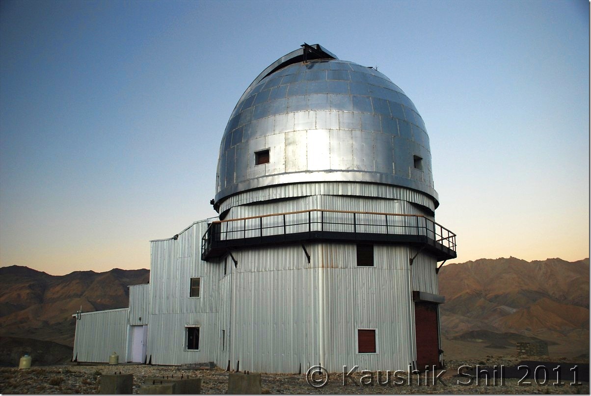
Hanle Observatory of Indian Institute of Astro Physics:

 DSC_20682

Unbelievable colors of Mountains near Demchok – The mountains you see are Line of Actual Control with China (Other side Ngari, Tibet)

DSC_20795

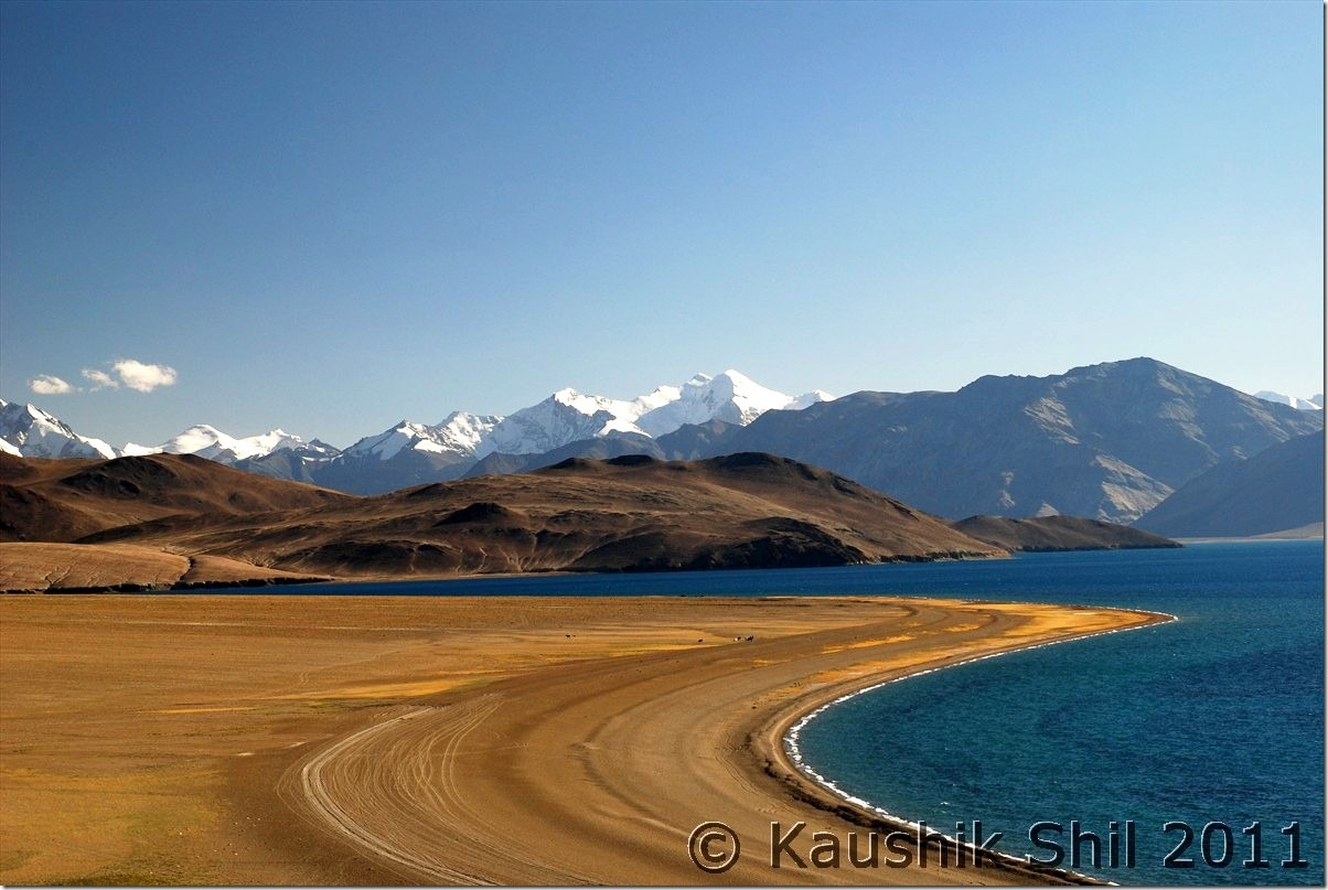
Tsomoriri :

DSC_30078

Dramatic Sky at Sumdo:

DSC_30160

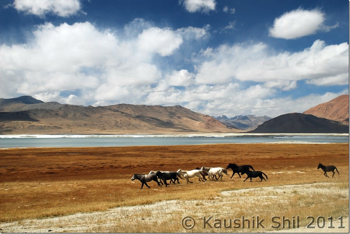
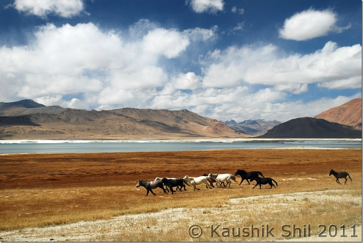
Wild Horses running in the backdrop of Tso Kar:

DSC_30183

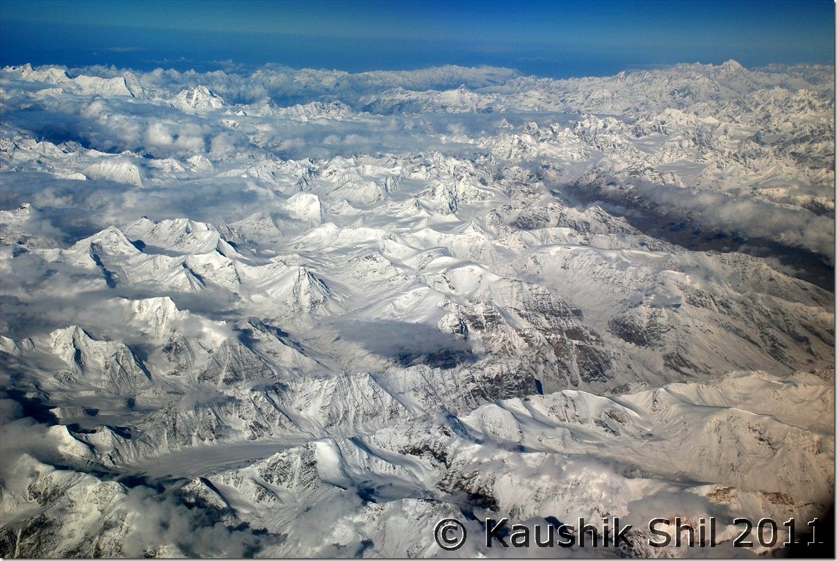
Return Flight from Leh to Delhi was a Trans Himalayan Flight, the vista below is beyond any word:

DSC_30372

Next: Ladakh – Srinagar, Sonmarg, Jojila, Kargil and entering Suru and Zanskar Valley