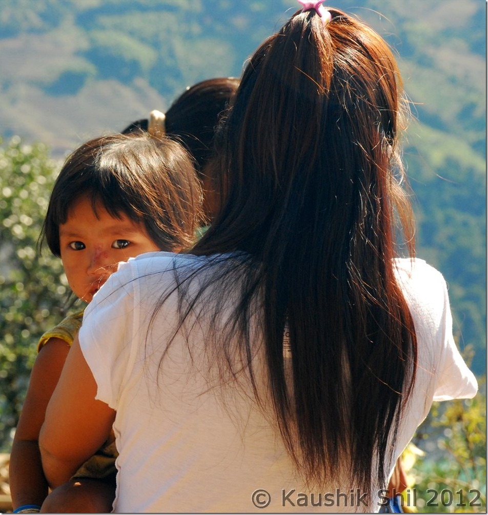
Arunachal Far East – Dibang Valley, Walong, Kibithu and Namdapha – Part-3

3rd January:

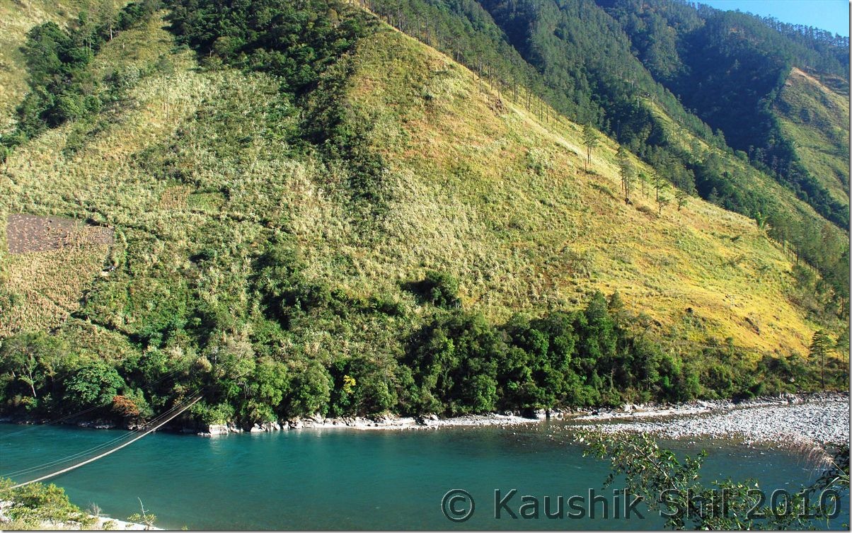
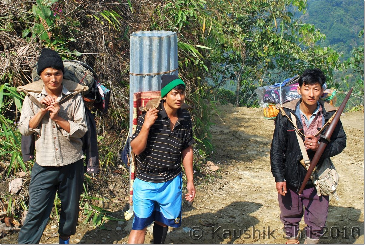
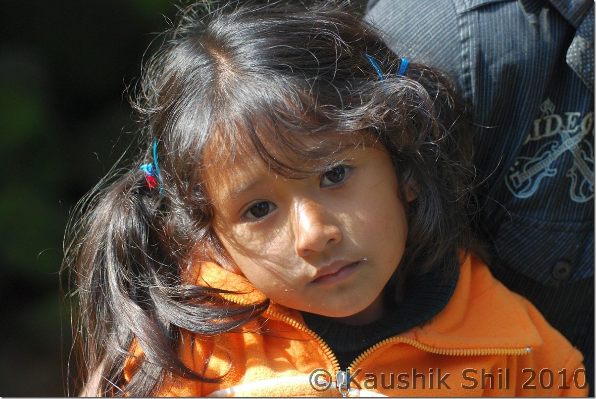
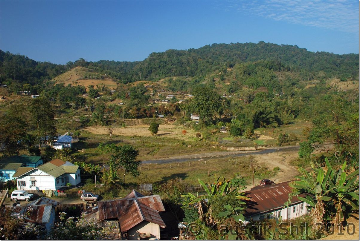
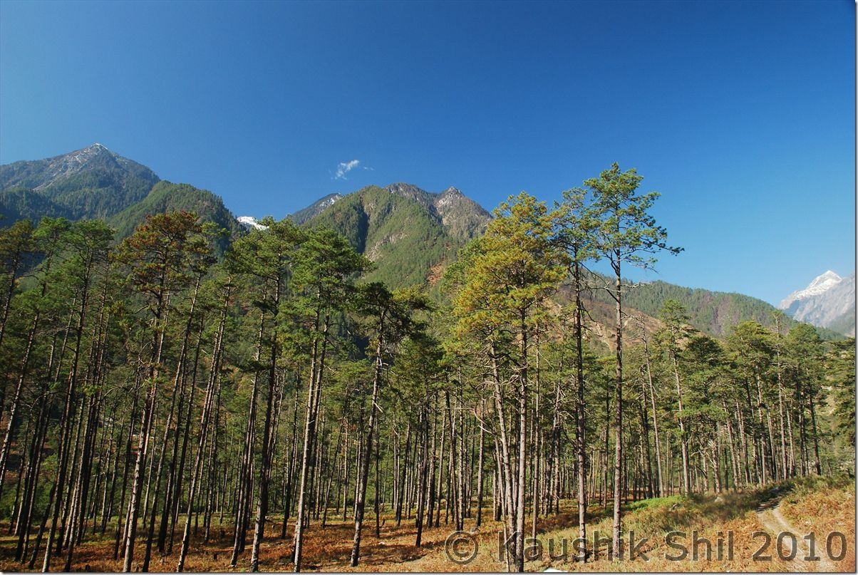
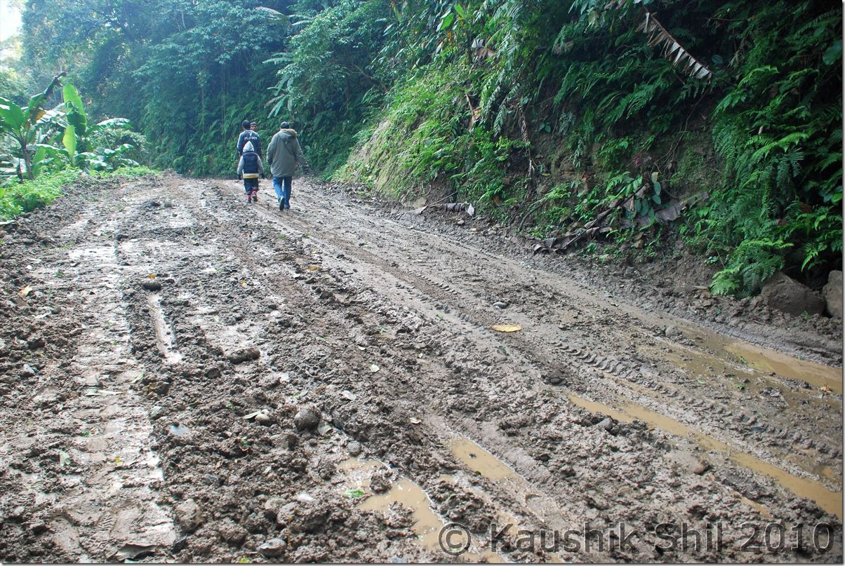
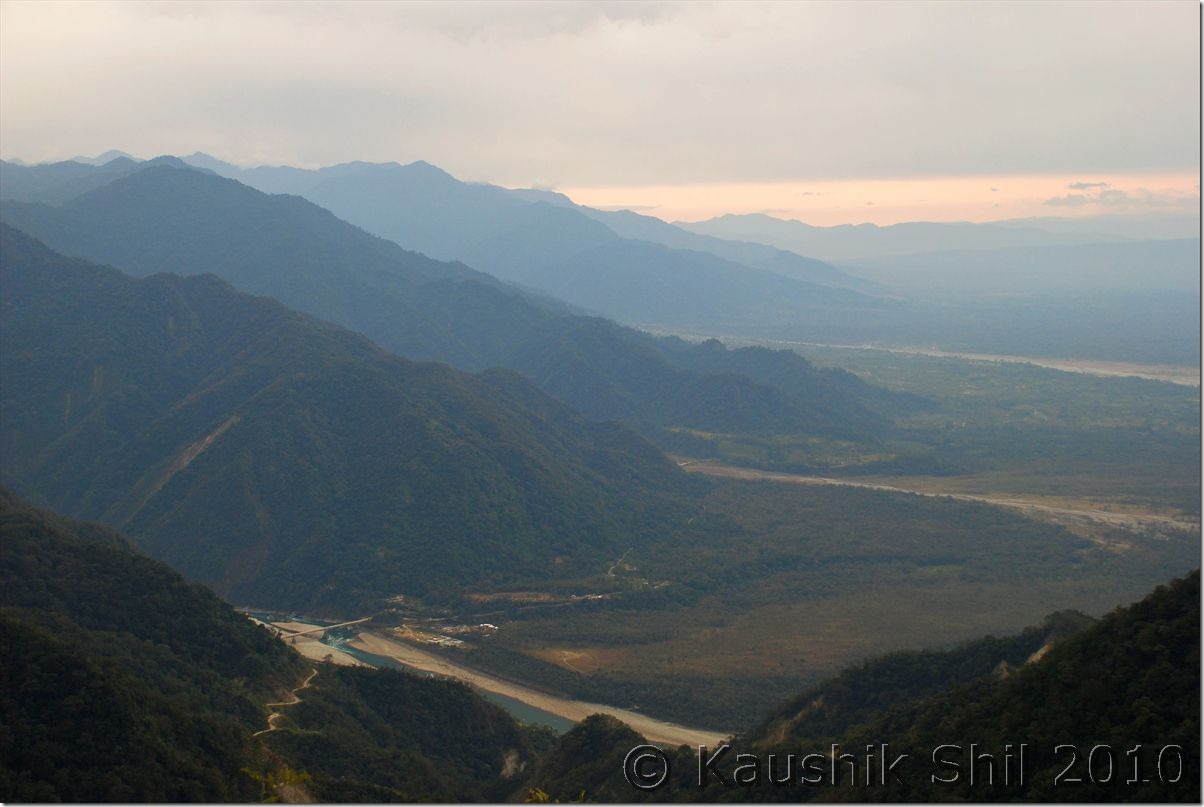
Brilliant day with a great sun shine started, we planned to walk to 20th Mile through MV Road (Deban is in 17th Mile). The 3 miles walk took almost 2 hours as the road was not even walkable. But it was a nice experience walking through that road and seen Lizu tribes of Vijaynagar (Undoubtedly one of the remotest corners of India) are walking through the roads after buying their rations from Miao. They said the walk is of 14 days if they follow the road, they usually take shortcuts by crossing NoaDihing River that flows through Namdapha and climbing mountain but still that takes 6 days of walking. They build makeshift camps in the forest to spend night and again start walking in the morning. Surprising to even think how many faces India really is having. I found even a 4 year old kid is walking with them and would walk up to Vijaynagar. From 20th Mile you can get good views of Daphabum, the highest peak in Namdapha in a clear day. Evening was spent with the Forest dept people there making a camp fire and watching stars and listening to the flows of the river below. Wonderful experience and I have never experienced so much remoteness in any forest in my life.

On MV Road Trekking to 20th Mile:

0738_On MV Road Trekking to 20th Mile

Lizu tribes take their daily commodities from Miao:

0765_Lizu tribes take their daily commodities from Miao

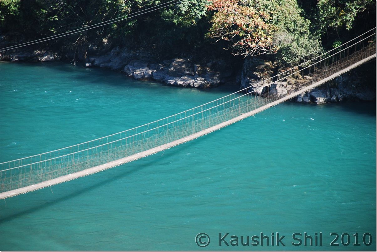
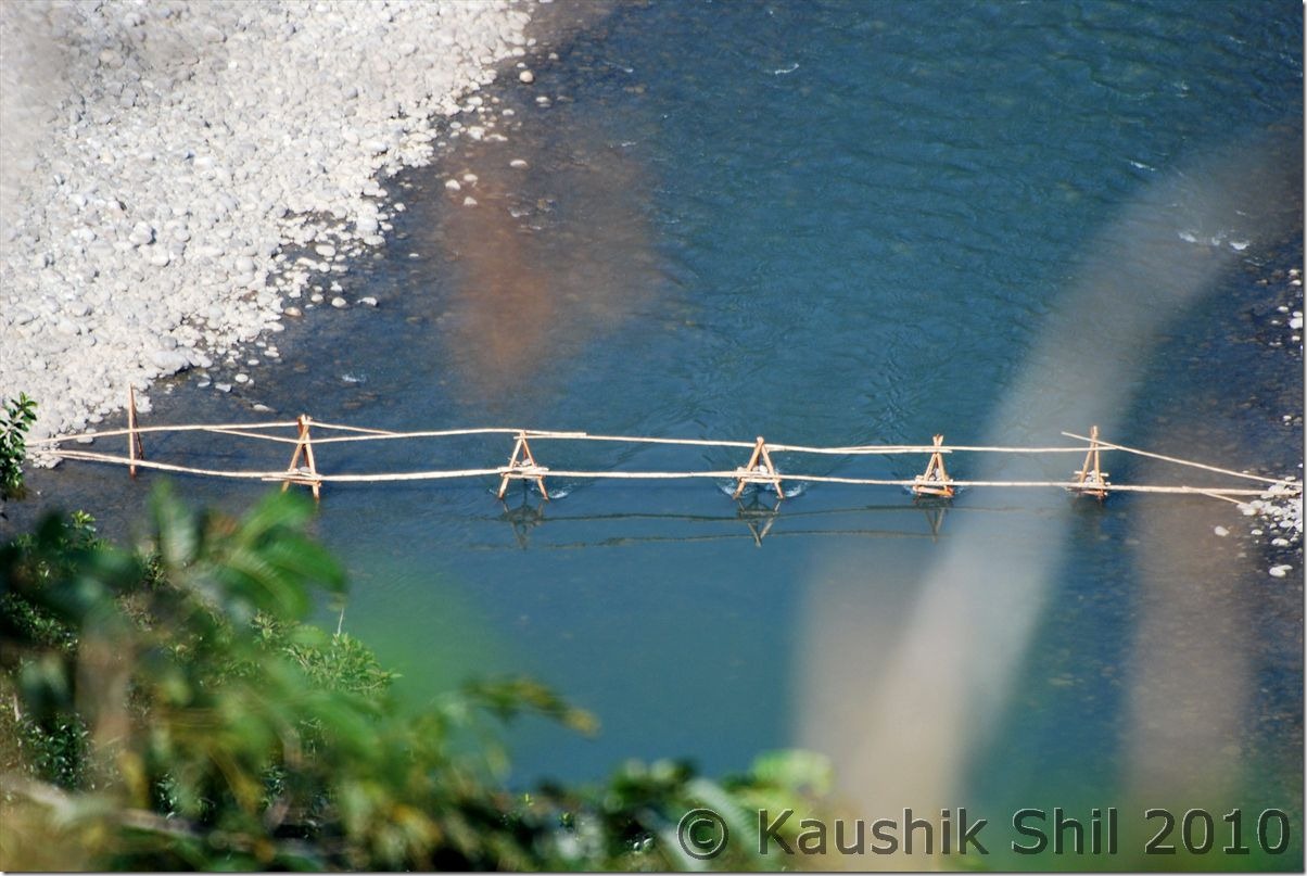
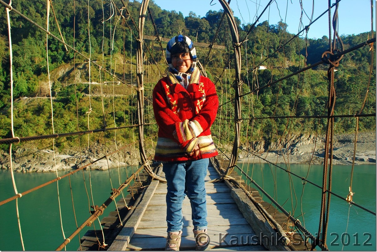
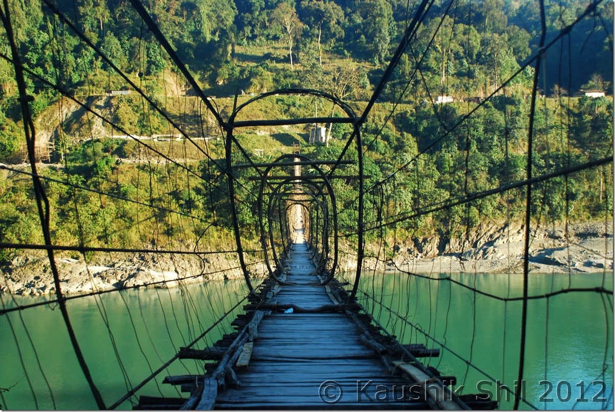
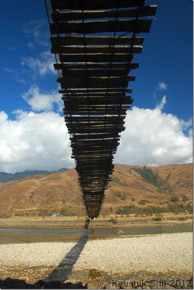
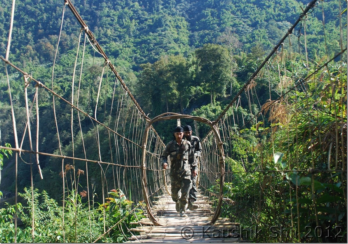
Bridge made by Lizu on Noa Dihing:

0770_Bridge made by Lizu on Noa Dihing

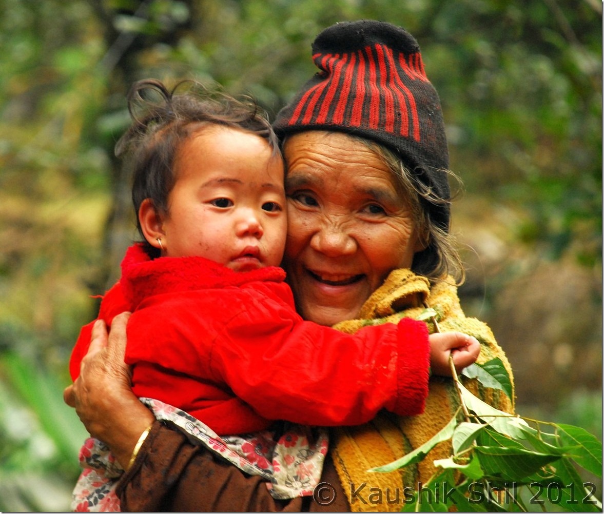
Lizu girl of 4 years, she too walks for 8 days through dense rain forest:

0780_Lizu girl of 4 years, she too walks for 8 days through dense rain forest

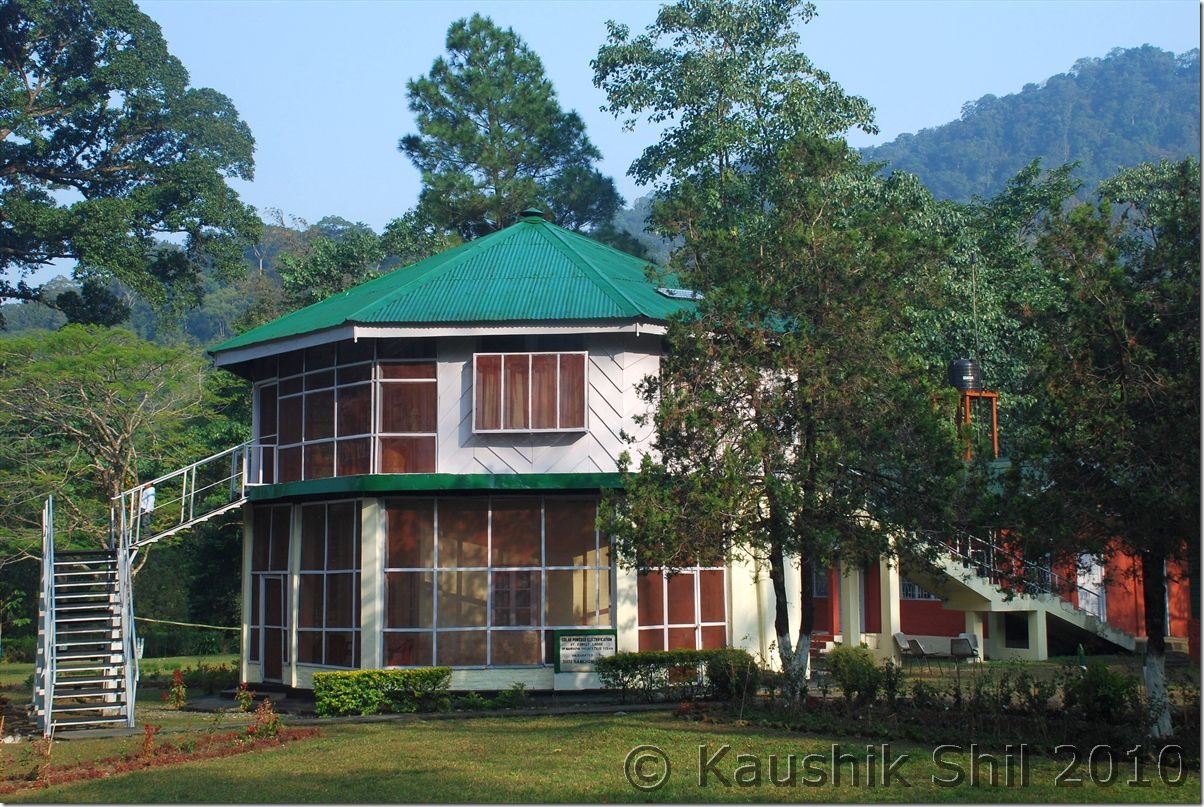
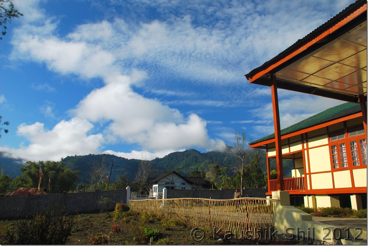
Deban Forest Rest House:

0795_Deban FRH

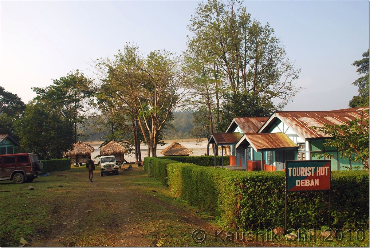
Tourist Hut in Deban:

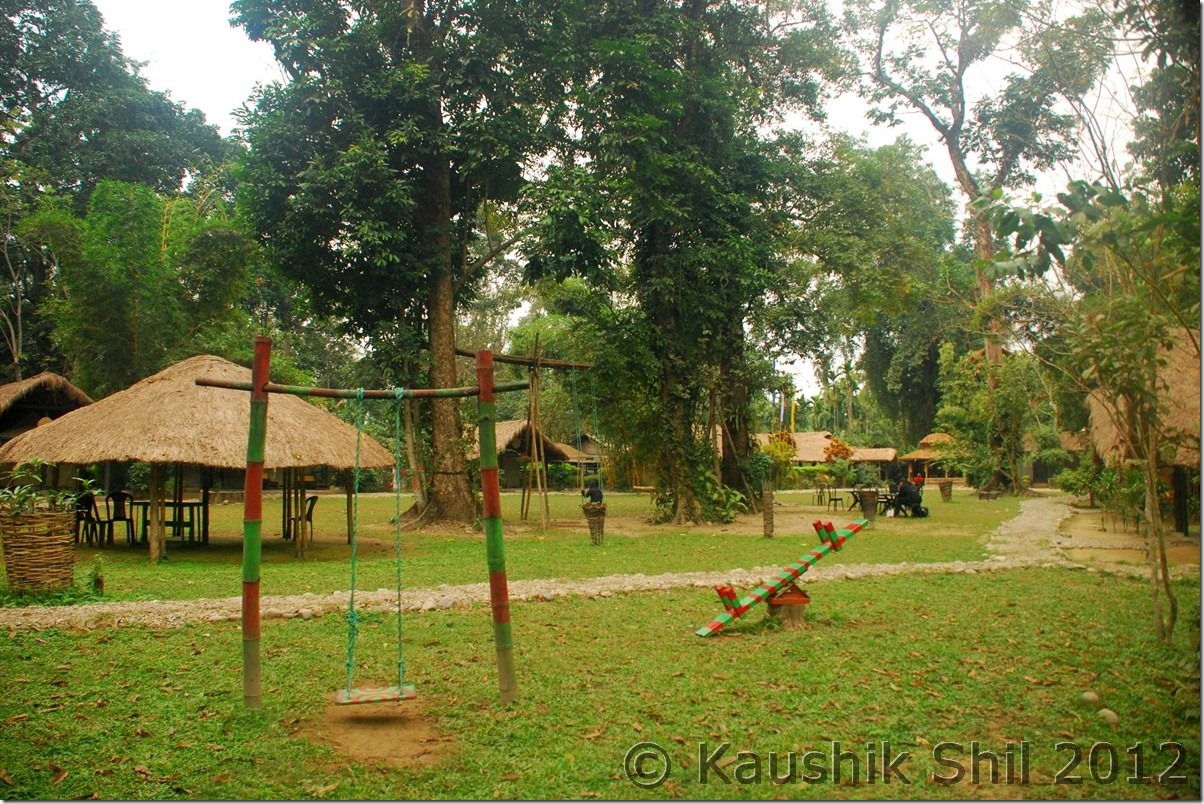
0802_Tourist Hut in Deban

4th January:

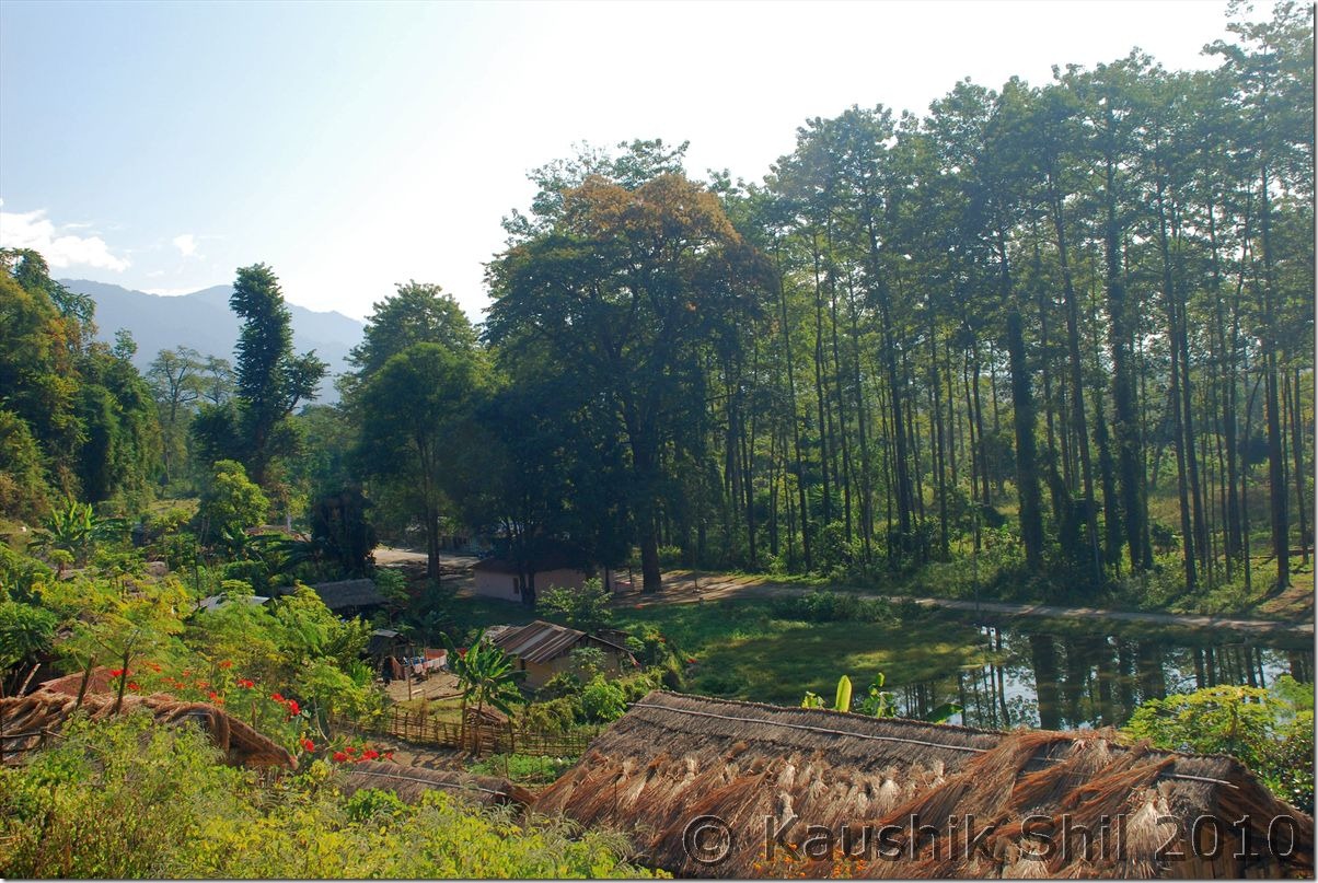
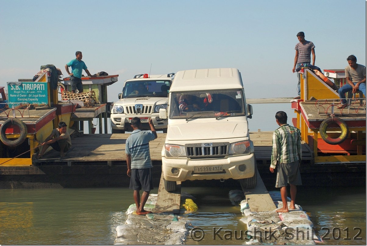
We initially planned to trek into the forest up to Haldibari but then forest people advised us not to go with a kid of 5 years as this year because of heavy monsoon, we had to cross 2 water streams to reach there and both are having knee deep water for an adult and having difficult turbulence and slippery rocks below. Also leach guard is mandatory to go there and getting a leach guard of kid’s size is impossible. So we decided to cross Noa Dihing and visit the Chakma Village on other side of the river and also considering next day’s plan we decided to leave in the afternoon rather than staying that night at Deban. Chakma Village is very nice and clean, had thatched house fitted with Direct To Home connection, a nice fusion of tradition and contemporary. They do farming for their livelihood. Around 2.00pm in afternoon after having lunch, we started our return journey to Miao and this time with ample daylight and much drier road after 2 days of bright sun, the MV Road didn’t seem to be as bad as we experienced when coming. Still the car could get stuck anytime and we found a Scorpio stuck in between and we all helped to get it out of the mud. Reached Miao in evening and stayed in Eco Tourist Lodge in Miao, another Forest IB, presently run by a NGO. The accommodation was nice and clean, food was not that good though.

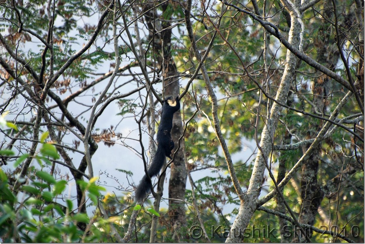
Himalayan Giant Squirrel:

0815_Himalayan Giant Squirrel

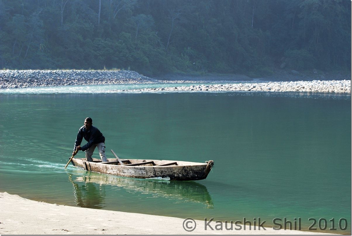
Boatman of Forest Department:

0823_Boatman of Forest Department

Chakma Village on other side of Noa Dihing:

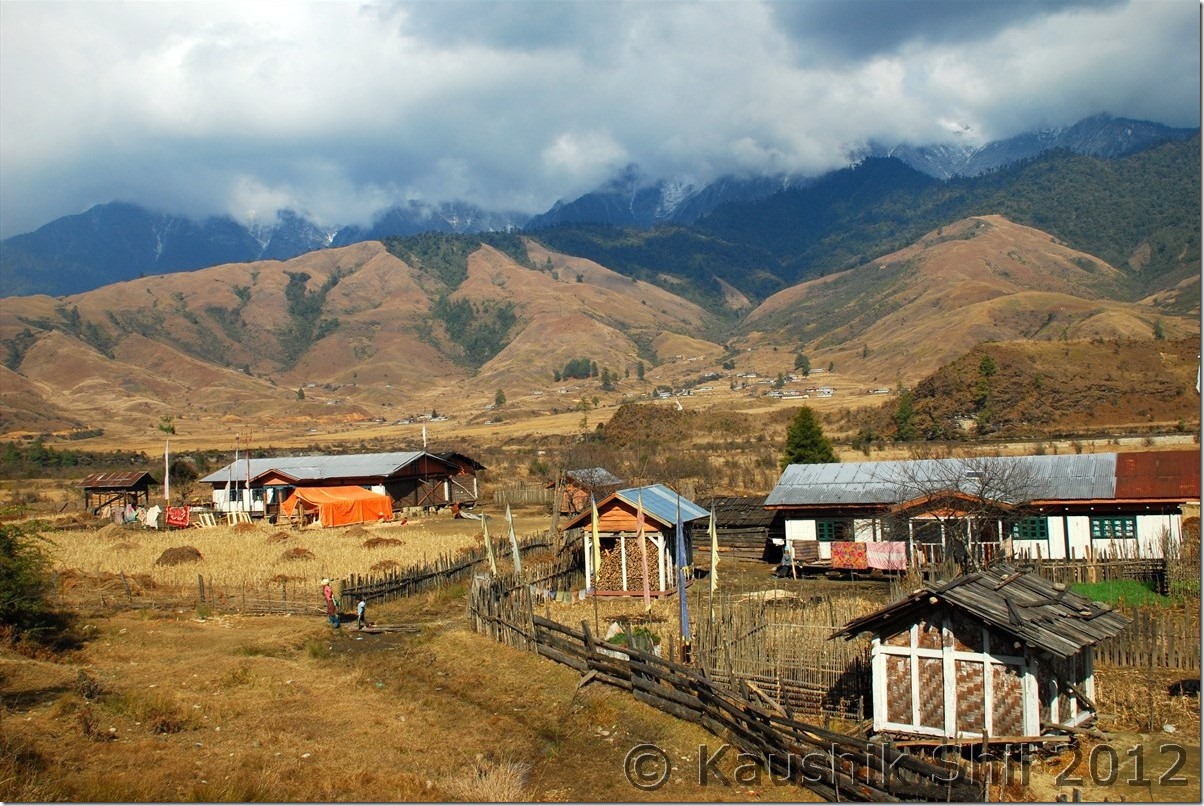
0842_Chakma Village on other side of Noa Dihing

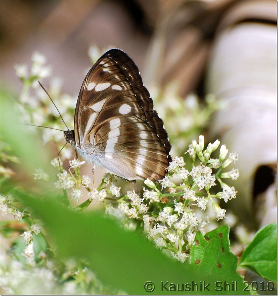
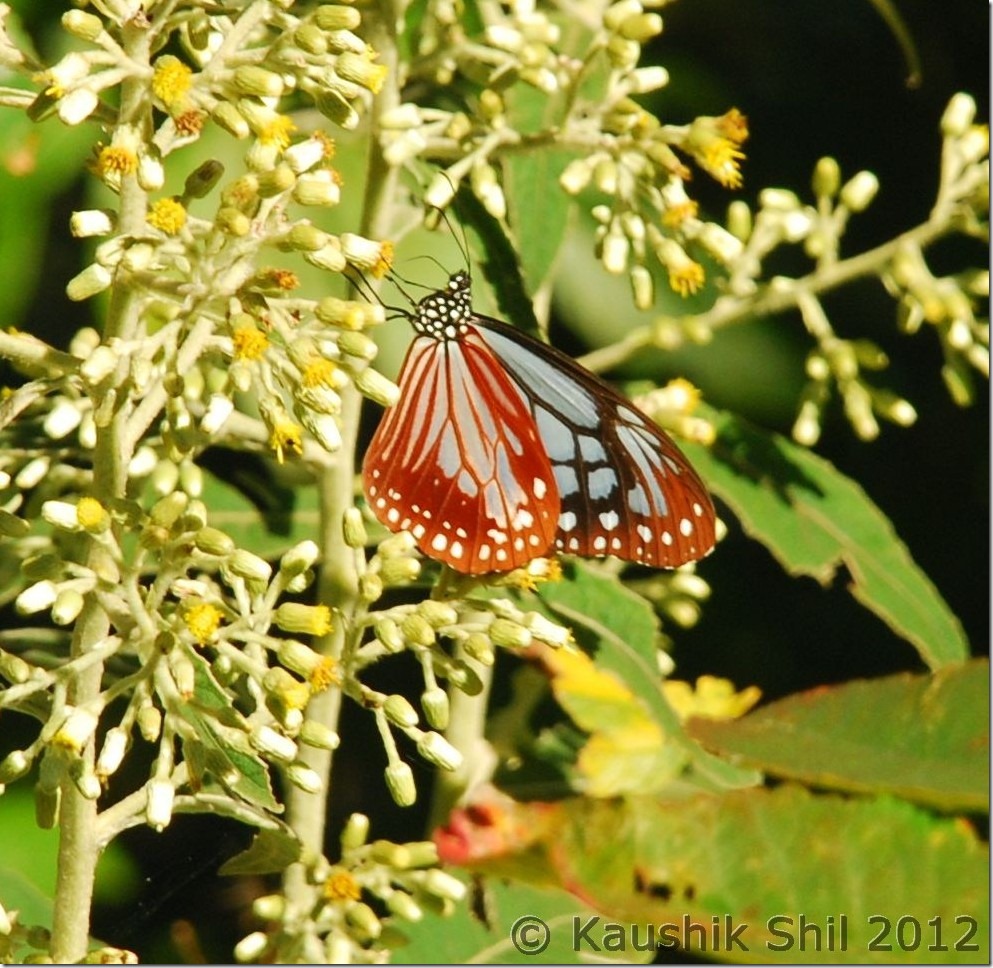
Butterfly:

0874_Butterfly

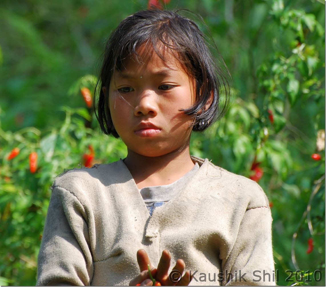
Chakma Girl plucking Red Chilies:

0882_Chakma Girl plucking Red Chilis

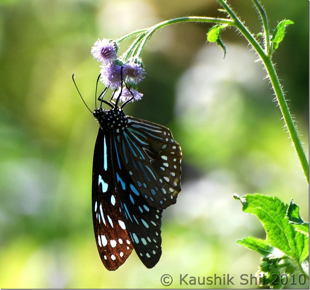
Butterfly:

0894_Butterfly

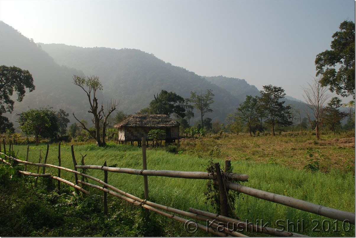
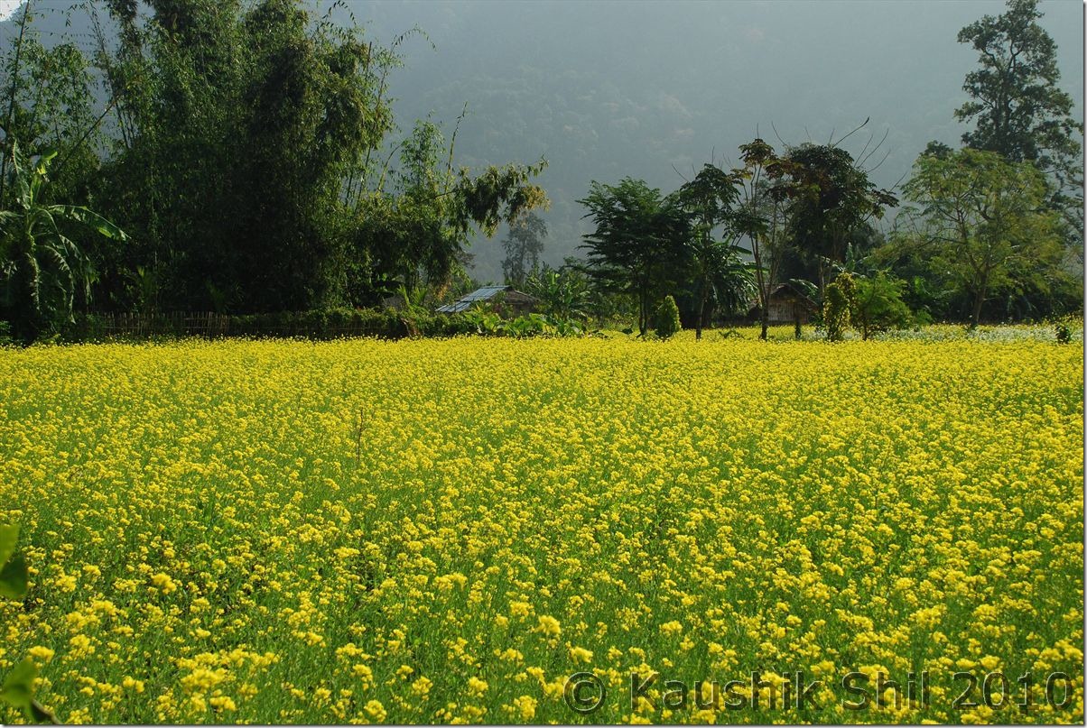
Picturesque Chakma Village:

0933_Picturesque Chakma Village

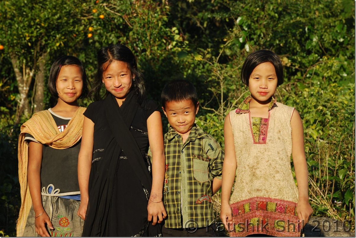
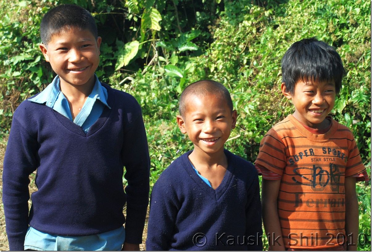
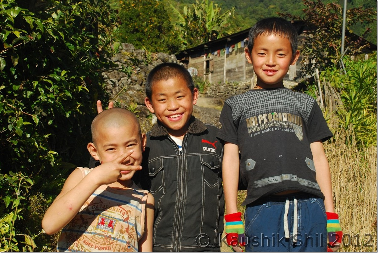
Chakma Boys:

0935_Chakma Boys

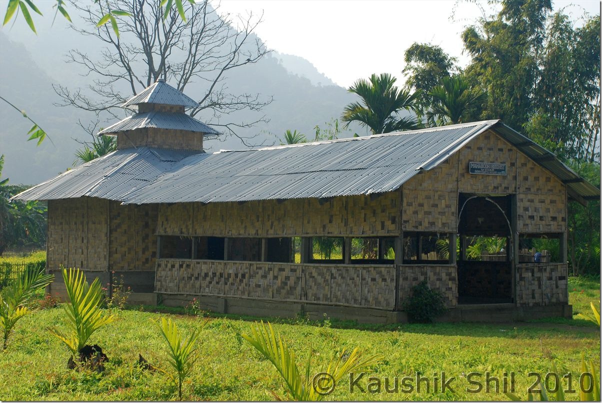
Pagoda style Buddha Bihar in Chakma Village:

0936_Pagoda style Buddha Bihar in Chakma Village

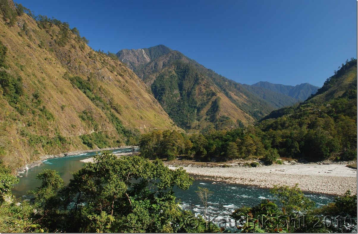
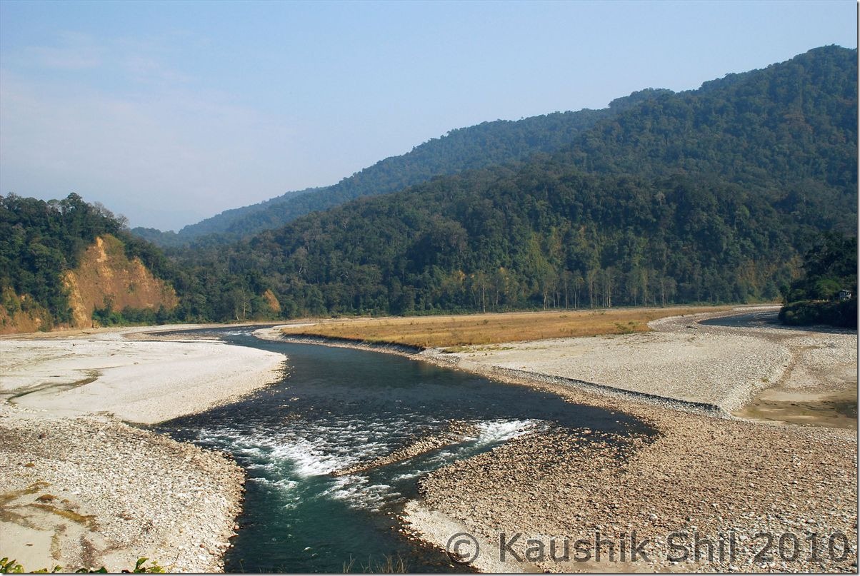
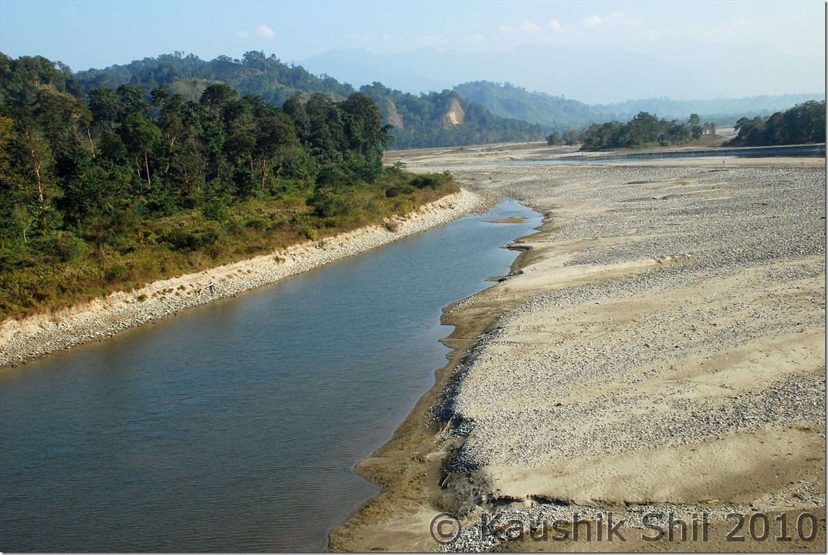
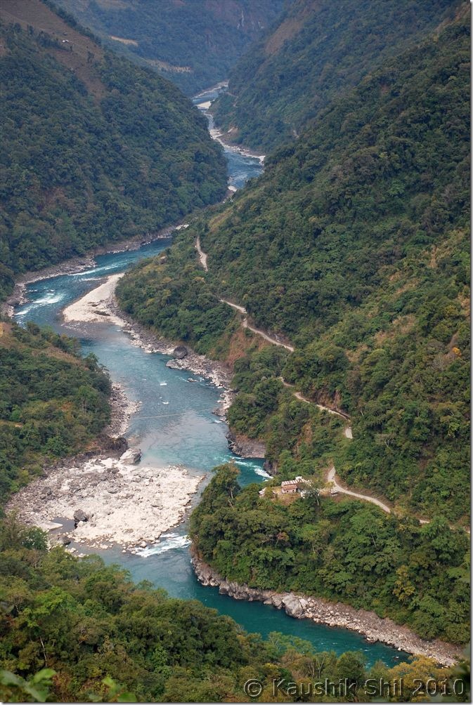
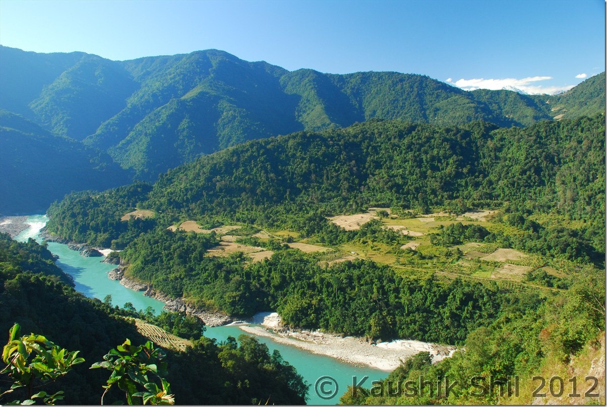
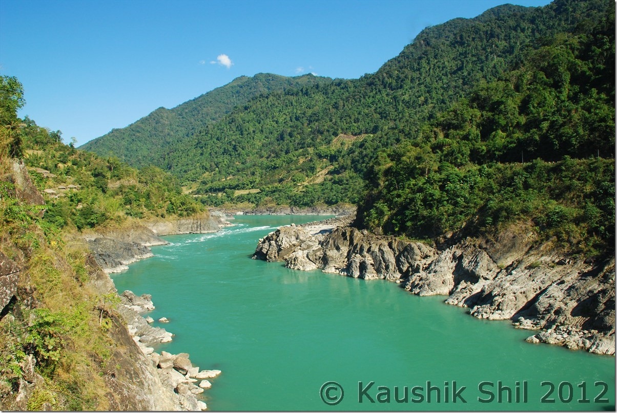
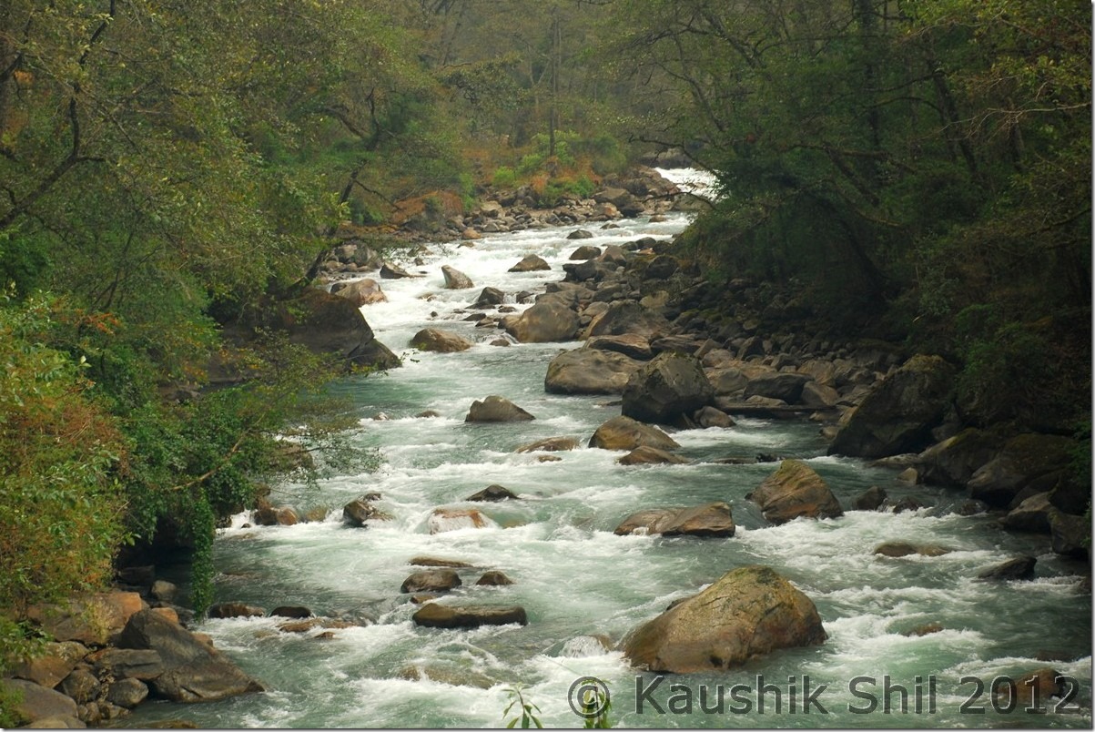
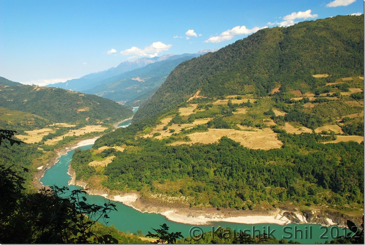
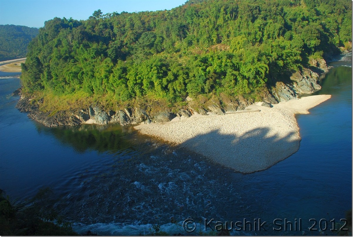
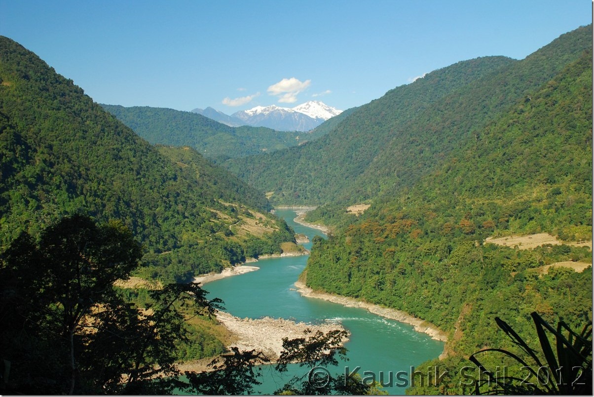
Noa Dihing flows through Namdapha National Park:

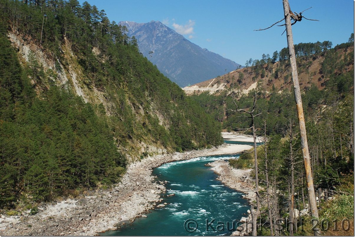
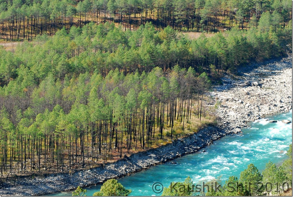
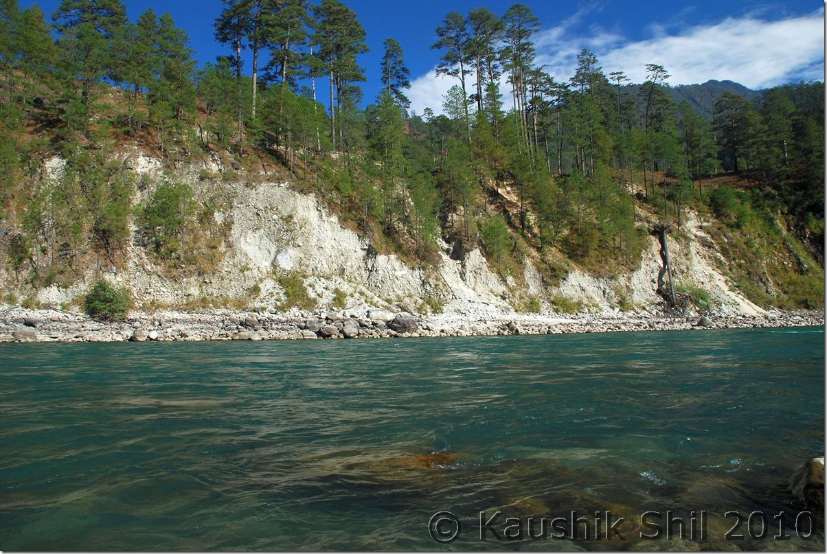
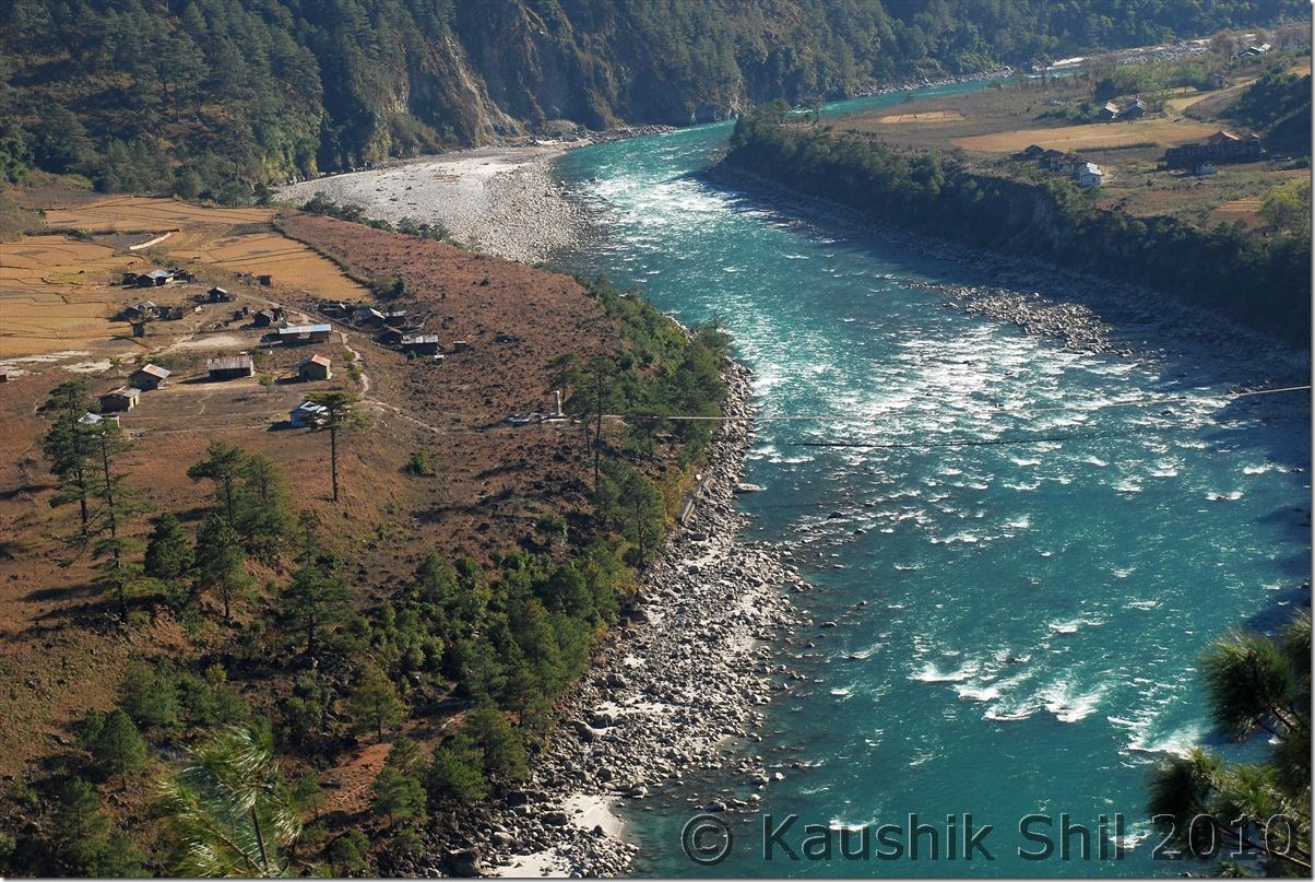
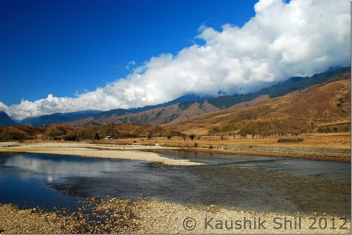
0964_Noa Dihing flows through Namdapha National Park

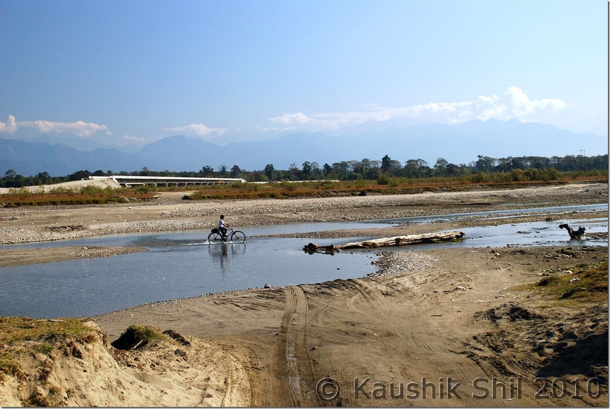
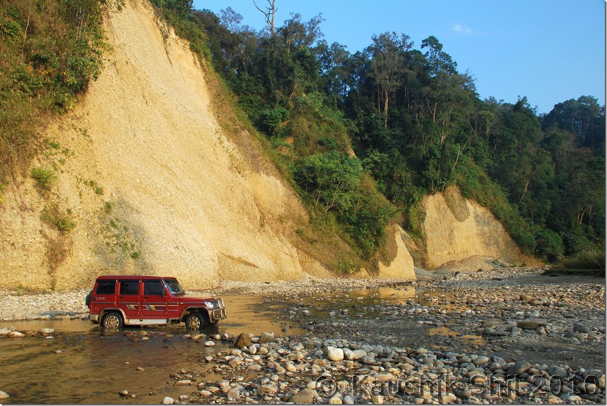
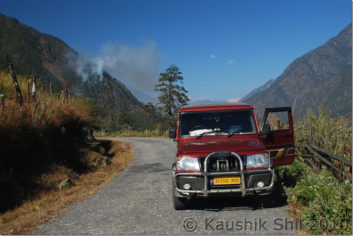
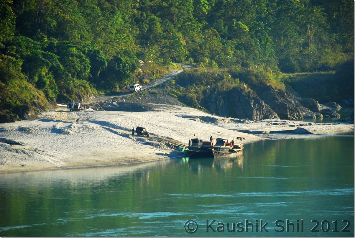
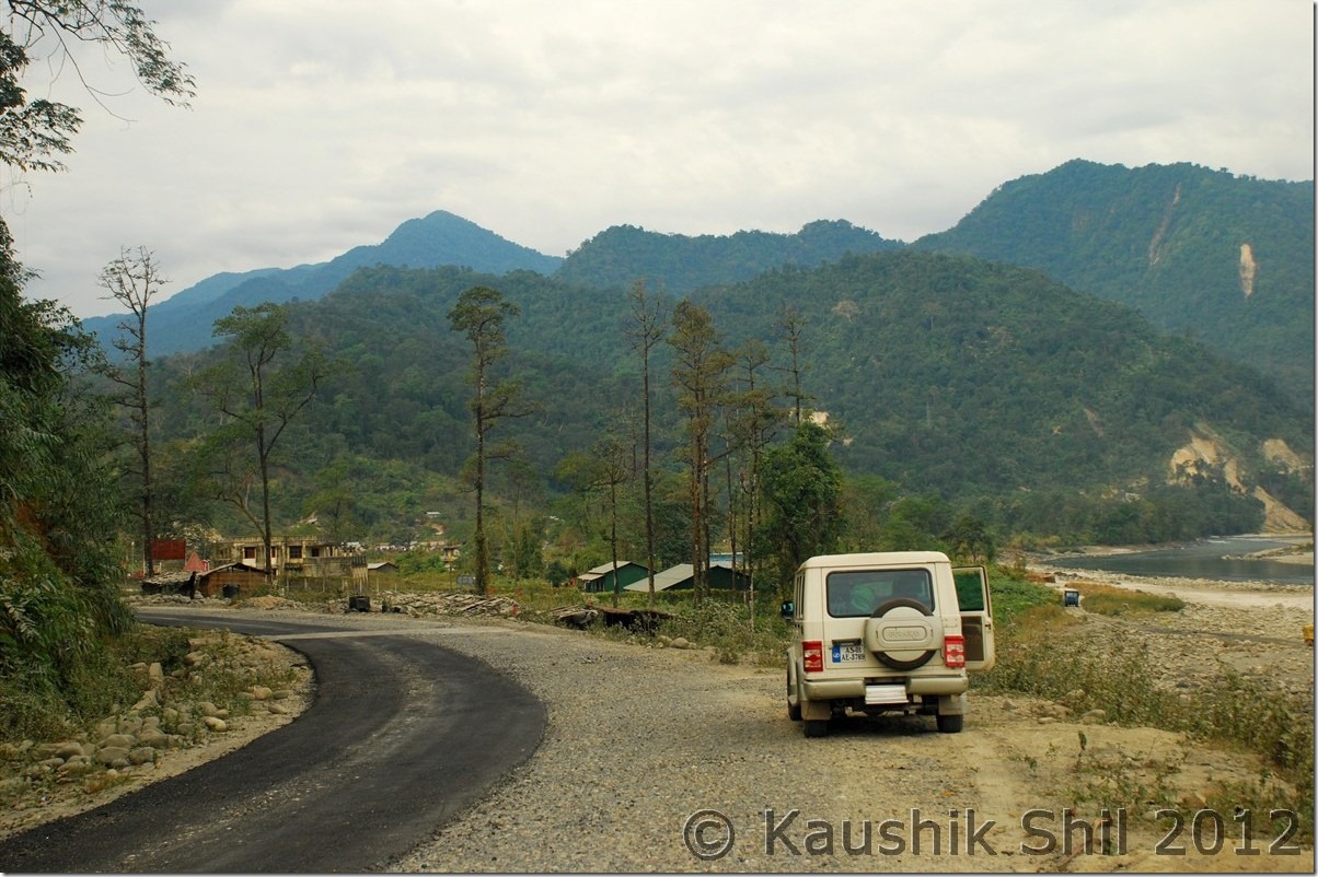
Driving through the River, that’s how drive in Arunachal means:

0987_Driving through the River

5th January:

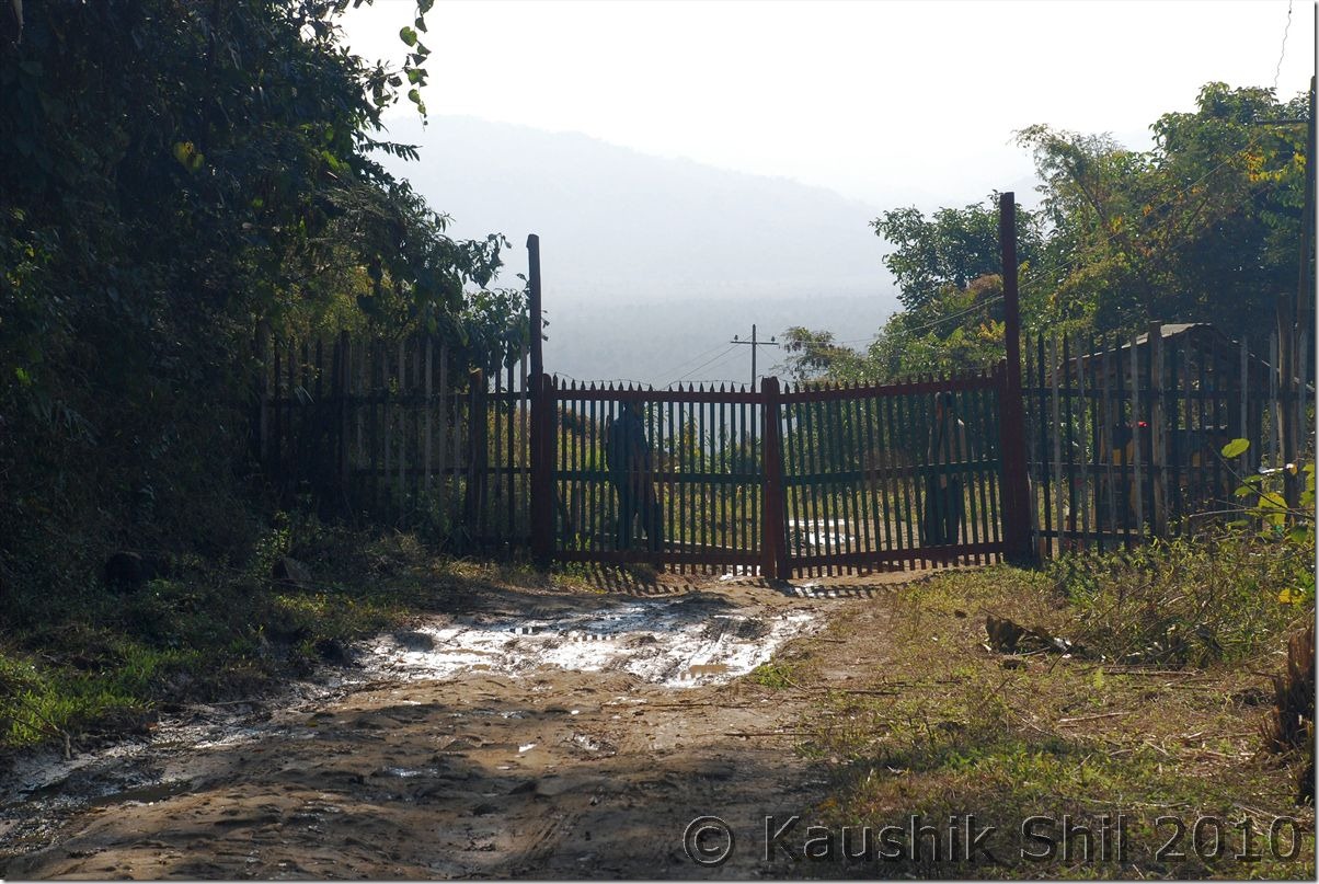
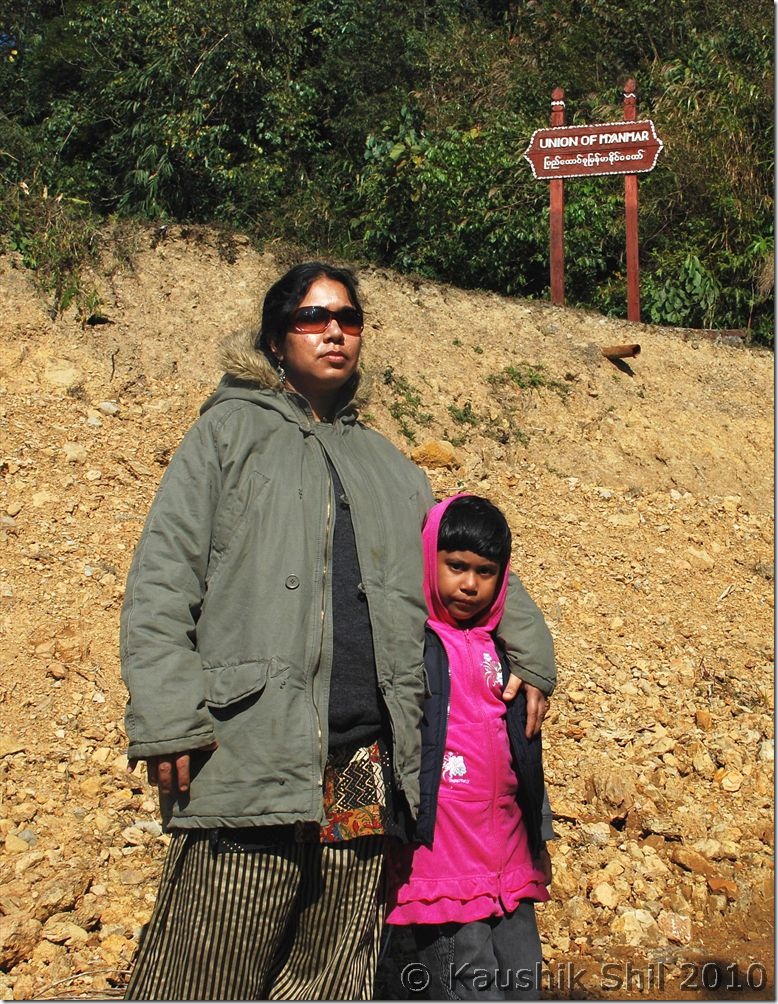
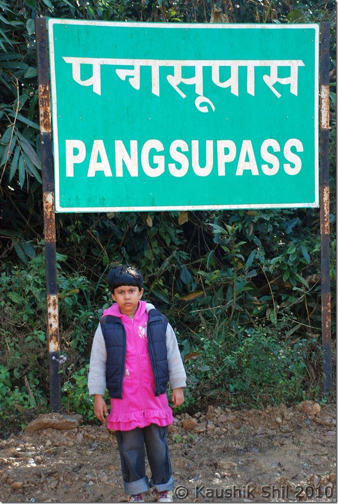
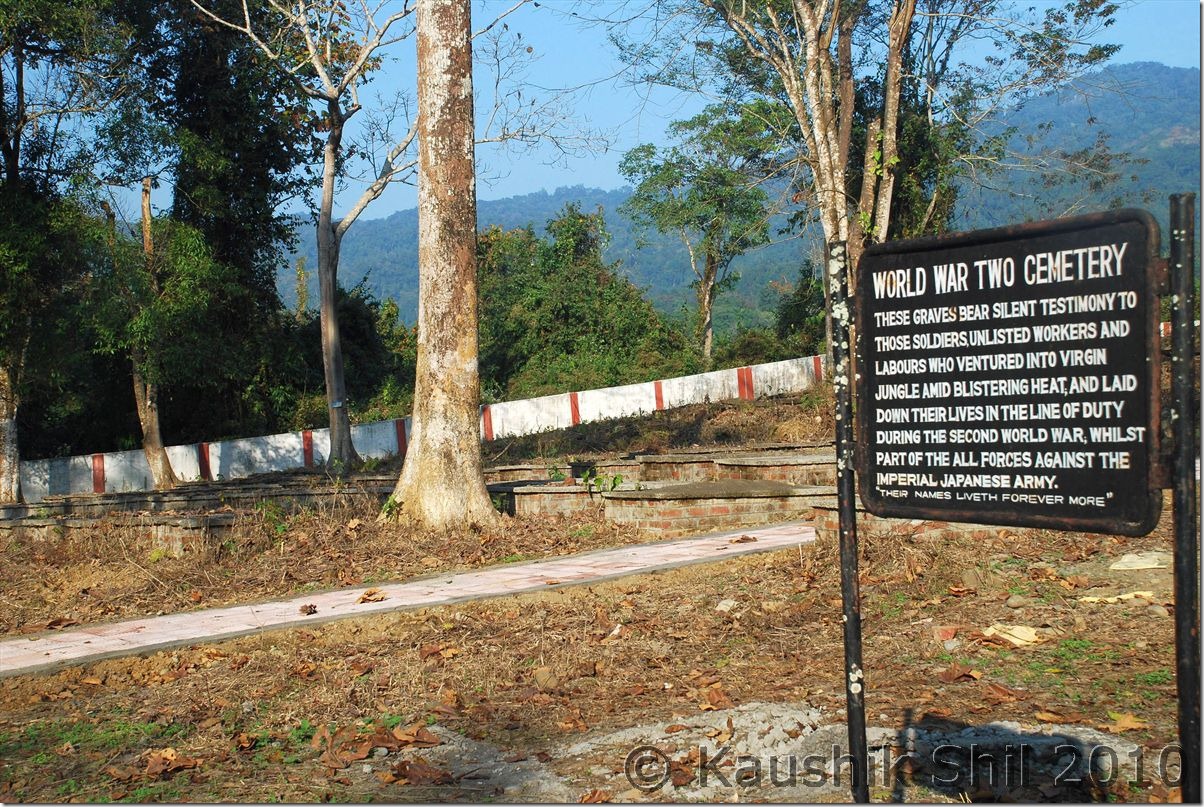
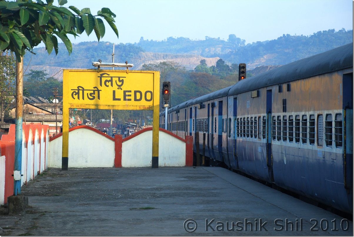
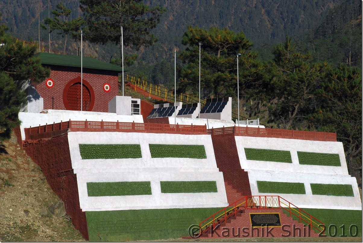
We started early and gone to experience the Ropeway in Miao, that’s being used by local to cross Noa Dihing. This was one of the oldest ropeways built in 1975, developed and still maintained by Oil India Limited. Those who visit Miao must experience this as the view from the ropeway is awesome. It starts at 9.00am and runs till 4.00pm. We reached around 8.00am and requested them to give us a ride; the person was kind enough to start it at 8.30am on our request. One way crossing takes 7 mins and after having a good 15mins ride, we started our onward journey towards historic Stilwell Road. From Jagun we diverted left towards Jairampur. Jairampur is having the check gate to enter ILP. Soon after we faced first army check post where we have to show the special permit to visit the Pangsau Pass as given by ADC, Jairampur before they let us go. We visited on the way the second world war Cemetery towards Nampong (Nampong to Jairampur is 17 km and Jairampur to Jagun is 10km). Nampong is last Indian village on this road towards Burma where Burmese people come to shop on 2 specific days of month (15th and 30th). After crossing Nampong again we were stopped by army in another check post. Here even after showing the permit, they spoken to their higher authority and after 15mins we got the go ahead and we were told that on the way army would escort us to border to show us the border stones and then would escort us back again. We faced one land slide in between, waited for 30mins to get it cleared by BRO and then suddenly we saw the much sought after mile stone written as Pangsu Pass, we noticed on other side another stone showing “Union of Myanmar” but still couldn’t believe we reached the border. The roads suddenly got deteriorated but we kept continued and after 2 km we understood the mistake when faced by Burmese Police. We realized we crossed the international border with a car without any valid papers, it could be much worse, fortunately the Burmese Police were kind enough, we even clicked a few snaps with them, they didn’t understand any language we are aware of and then when we are coming back, we encountered Indian Army, the post we didn’t notice at all while going. They asked why we went alone without army escort and also enquired exactly how far we gone, we realized any silly answer would make our condition worse, we started showing some place pointing our fingers and saying “Till there” and we apologized for going there without taking army escort but it was really not intentional, though proved good for us finally for a 2km to and fro drive in Burma that was impossible if Army would have escorted us. By the time we were returning it was communicated all through Indian Posts that a red colored Bolero gone towards border unescorted and everywhere we had to explain the same thing repeatedly. We were back to Jagun by 2.30pm much relieved after experiencing the Stilwell Road and the much sought after Pangsu Pass. It was really amazing to even think how this 1736km road was built in flat two years negotiating such a hostile terrain of mountains and dense rain forests cutting across 3 countries from Ledo in Assam Plane to Kunming in China through Myanmar. After Jairampur road was superb and we drove fast till Digboi, in between touching Ledo station, the easternmost operational railway station of India. Digboi was famous for many first especially considering the fact; it was the place where crude oil was discovered in 1889, first in the eastern part of Suez Canal. So in that sense it’s first oil well discovered in Asia. A visit to the centenary Oil Museum there, is really good way to get yourself educated on Digboi and Oil industry. We liked the place and Digboi is very clean town. Finally we reached Tinsukia as checked into the same hotel again where we started our trip.

Noa Dihing from Ropeway:

10033_Noa Dihing from Ropeway

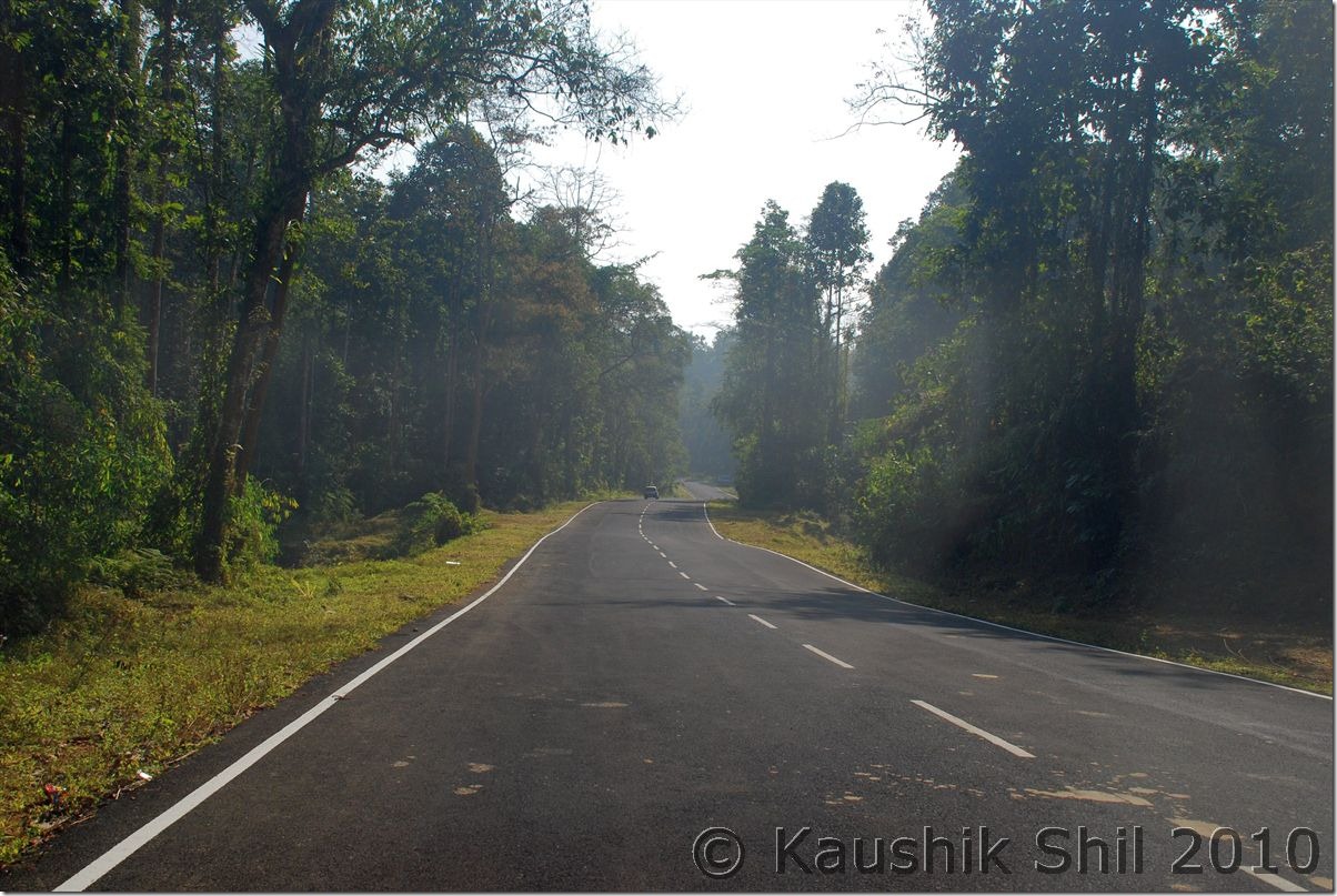
Scenic Road to Jairampur:

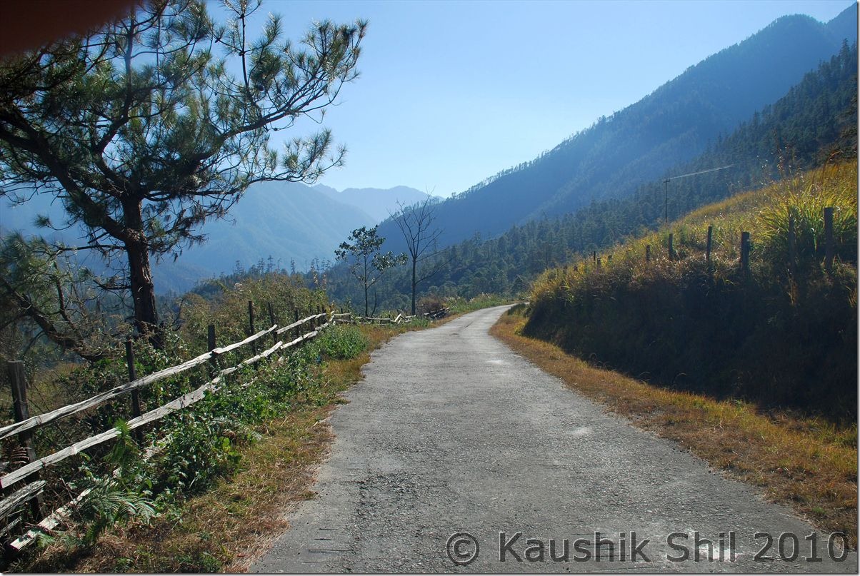
10048_Scenic Road to Jairampur

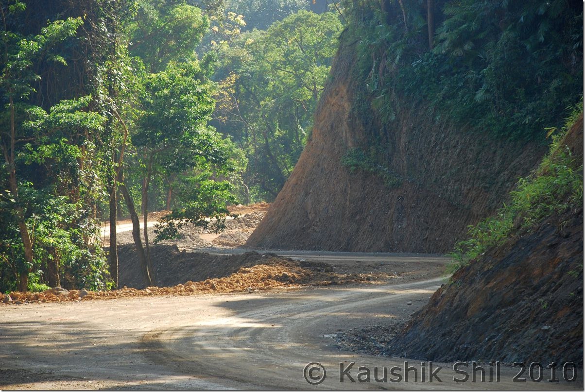
Drive through Stilwell Road:

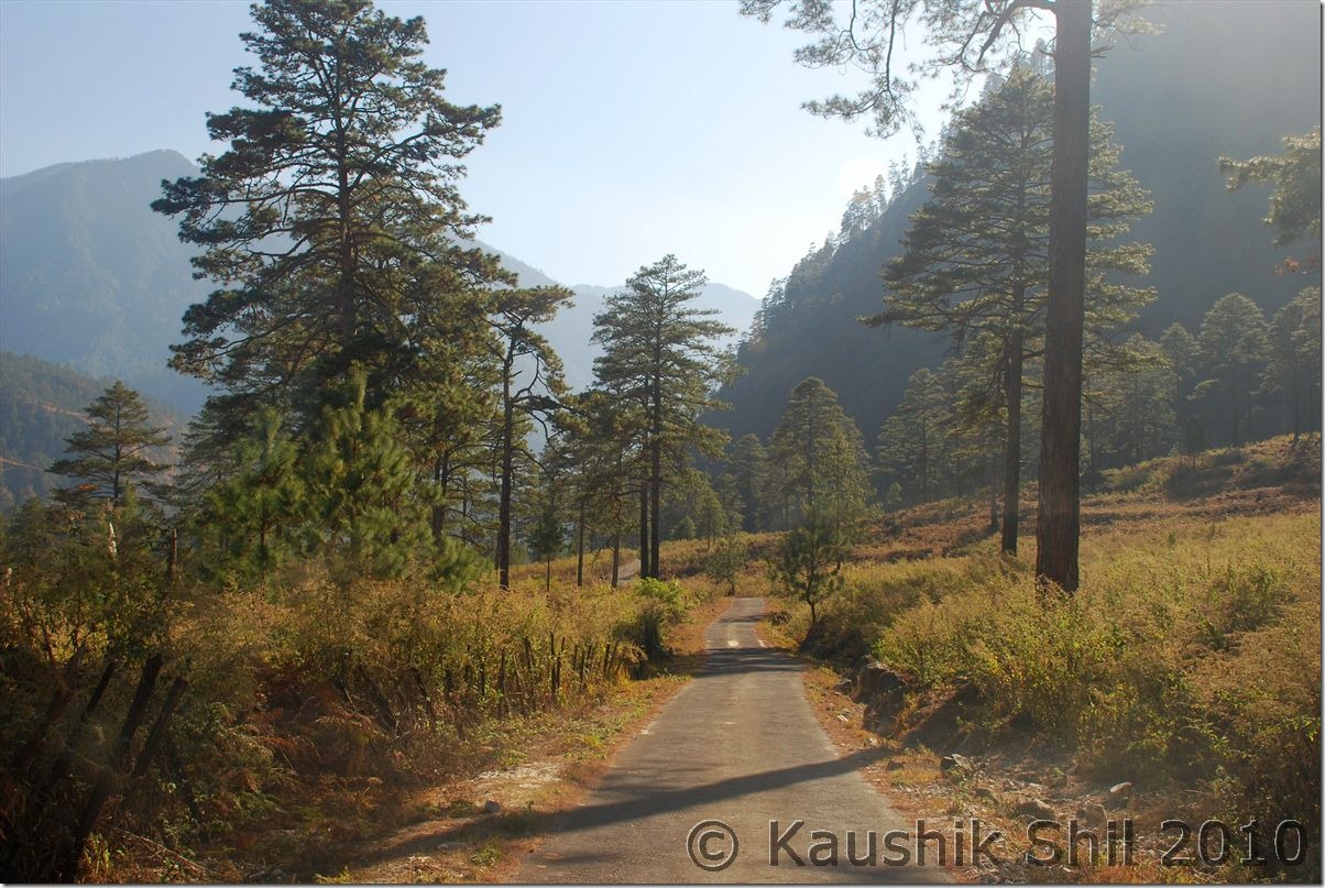
10060_Drive through Stilwell Road

Historic Stilwell Road enters Myanmar here, the gate is closed (Its a closed border):

10083_Historic Stilwell Road enters Myanmar here, the gate is closed

Myanmar Starts while India ends here:

10092_Myanmar Starts while India ends here

Historic Pangsu Pass known as Hell Pass during Second World War:

10096_Historic Pangsu Pass known as Hell Pass

Nampong Town, last Indian town on Stilwell Road:

10108_Nampong Town, last Indian town on Stilwell Road

Second World War Cemetery:

10120_Second World War Cemetary

Eastern Most Rail Station of India since Lekhapani Rail Station was closed in 1993:

10134_Eastern Most Rail Station of India since Lekhapani Rail Station was closed in 1993

Previous: Arunachal Far East – Dibang Valley, Walong, Kibithu and Namdapha – Part-2

The End

Arunachal Far East – Dibang Valley, Walong, Kibithu and Namdapha – Part-2

31st December:

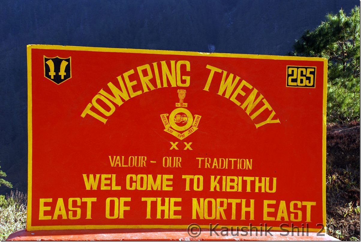
Started from Walong at 7.00am as we had to explore the area before heading for Hawai to stay the night. Gone to Kibithu, famous as it’s known as “East of North East” crossing the most panoramic part of the whole journey. The road from Walong to Kibithu would make you remember of Kashmir Valley specially the road to Pahelgaon. Crossed Namti Valley where the fiercest battle of 1962 was fought by Indian Army but when you would be crossing these area, you would be more amazed by the beauty of nature than the memory of war though the whole region has several battle monuments for the martyr of 1962 war. We reached Kibithu (24km from Walong) around 9.00am and found the helipad is now restricted for civilians. We visited the ITBP Camp there and from there we could clearly see the Chinese Camps in other side of border. Photography is strictly prohibited in whole area especially towards to Border. Only phone in the camp was down and we got a chance to chat with couple of ITBP people who were really frustrated for not being to able to even talk to their family and wish them in new year, what a hard job these guys do and its because of them we are celebrating our holidays, I was just enquiring about the exact tri-junction border between India-Myanmar-China and they said its still almost 85km from there (out of which around 20km is motorable up to Dechu) and they regularly goes for patrolling the area by foot, the forest is so dense, they can’t even use horse/donkey to take the ration, one side trek takes around 8 days from Kibithu. No further roads can be built as the border region here is disputed and China doesn’t agree to McMahon line here. We gone towards Dechu through another road through Mesai Bridge and Kaho that is written as “Eastern Most Road of India” but just before Dechu was stopped by Army and they told no civilians are permitted beyond Dechu, the last habitable place closest to Border. From a place nearby, with the help of Indian Army we gone up to a hill and through their telescopic lens we could clearly see the Chinese Army movement in other side of the border as well. They said the border is completely peaceful for last 2 years but both sides’ army patrols there 24 hours, I couldn’t even imagine how difficult it would be to spend night after night in open air looking through Night Vision Telescope towards the border but that’s what Army do for us every single day and night. This road to Dechu is fearsome, on one side its steep rock gone up and other side deep gorge straight down to Lohit River. We started around 11.45 from here our return journey and on the way back stopped near hot springs of Walong where you could touch the Lohit River, awesome place and a new circuit house is being built here, locals are even catching fishes in the cold water of Lohit, God only knows how anything can live in such a cold water. The hot spring is nice and you can take a nice bath if you plan for it. We reached circuit house in Hawai around 3.45pm in the evening and in December, in that region, it gets dark by 4.15pm. The Hawai is the district Head Quarter of Anjaw though the town is being built and still DC/ADC of Anjaw usually works from Hayuliang and Tezu (District HQ of Lohit). The circuit House is brand new and the best I stayed in my life. The persons are very friendly and we had a great time there but Hawai is probably located higher than Hayuliang and Walong and we felt the worst cold here. Had a nice dinner, only issue is I had to take bath at 4.00am in morning as power goes daily between 5.00am to 9.00am there and you won’t get any hot water in between.

Namti Valley carries the history of 1962 Sino-Indian War:

0402_Namti Valley carries the history of 1962 Sino-Indian War

Kibithu – East of North East:

0424_Kibithu - East of North East

Postcard from Anjaw:

0448_Postcard from Anjaw

The hill on far side is in China:

0464_The hill on far side is in China

Picturesque Lohit:

0484_Picturesque Lohit

Awesome Anjaw:

0506_Awesome Anjaw

Close to Heaven:

0508_Close to Heaven

Road to Eastern Most part of India:

0519_Road to Eastern Most part of India

Close up Lohit:

0533_Close up Lohit

Walong Valley:

0550_Walong Valley

War Memorial at Walong:

0551_War Memorial at Walong

1st January:

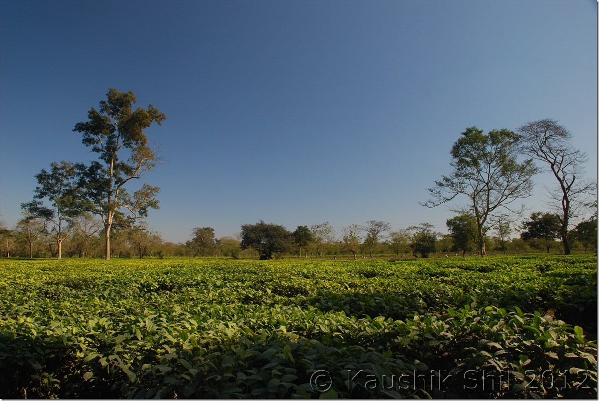
It was such a serene place, we didn’t even realize it was a new year morning, the weather doesn’t look promising as the WD that lashed Western Himalayas on 29th/30th Dec, by that time about to arrive Arunachal. I was aware of that and without wasting any time my first objective was to come down from hill before the rain starts. As weather was gloomy and it was a return journey, photo stops were very limited and we took a heavy breakfast, so we tried to come down as fast as we could without stopping for any lunch break, weather was slowly turning bad to worse and slight rain started when we crossed Hayuliang. Crossed Y-Junction at 3.00pm(Started from Hawai around 10.00am) and reached Parsuram Kund around 3.30pm (16km from Y Junction). Took a brief stop but weather was turning worse, rain was getting heavier, we didn’t waste anymore time and crossed Wakro around 4.30pm (It’s completely dark by that time and rain started quite heavily). There is a road to Deban (In Namdapha) from here only 50km and shortest if someone wants to reach Namdapha from here. But from there, you can’t take your car to other side as there was no ferry service to take your car, so if you could arrange another car ready in other side of river and get your forest permit ready (that needs to be collected from Miao) you could save almost 150km to reach Namdapha and that is translated to saving a whole day in Arunachal. We crossed Wakro and reached Medo (21km from Wakro) where we planned to stay in a Forest Dept IB inside a Tea garden that is presently being managed privately. It was an excellent stay and with heavy rains outside, power gone off, the ambience seems to be brilliant but I couldn’t feel the romance at all as I knew I had to cross the deadly Miao-Vijaynagar Road on next day and this rain could make the road worse than hell. Pana, the caretaker was a Bengali guy, cooked Chicken for us and the dinner was excellent. Next day morning we discovered the place was even more brilliant than we thought of and repented of not staying there for one more day.

The Road follows Lohit:

0585_The Road follows Lohit

Parsuram Kund Bridge where Hill Meets Plane:

0598_Parsuram Kund Bridge where Hill Meets Plane

Parsuram Kund Bridge:

0621_Parsuram Kund Bridge

2nd January:

I have got up several times at night and every time heard it was raining heavily, so tried to checkout several plans for next day, There are 4 ways you could reach Namdapha from Medo.

a. Through Wakro-Deban – Shortest but none could tell me how the road is from Deban to Miao through other side of Noa Dihing, so couldn’t take chance here after heavy rain.

b. Through Namsai-Dayun-Phup Village and crossing ferry to Miao – The 2nd best option but again people couldn’t tell how the Namsai-Dayun stretch is and how the approach to ferry specially after heavy rain. Sometimes it might get difficult to take your car up to ferry after heavy rain unless the approach road is good. Also the other issue that made me thinking was if I took this road, I couldn’t enter my ILP in Namchik gate that is used to enter Miao and while returning that might create trouble.

c. Coming back all the way towards Tinsukia and through Makum-Digboi-Margarita to Miao – Longest and would cost you almost 125 extra km and huge time and I couldn’t reach Deban on same day.

d. Namsai – Bordumsa – Jagun Ghat – Crossing ferry on Namchik River and to Miao: This sounds best to me as I had first hand information on Jagun Ghat and also I could enter through Namchik Gate to avoid any harassment later on. The road was somewhere good, somewhere medium and somewhere very bad.

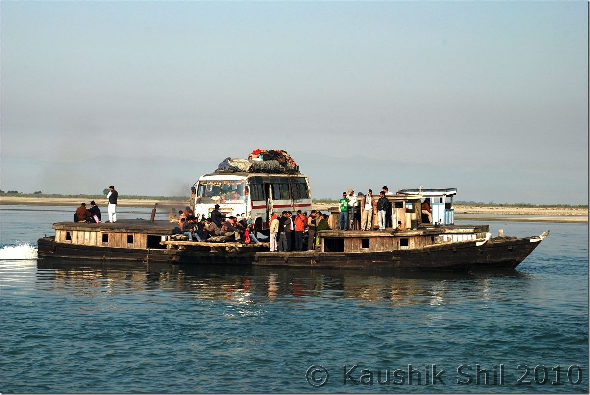
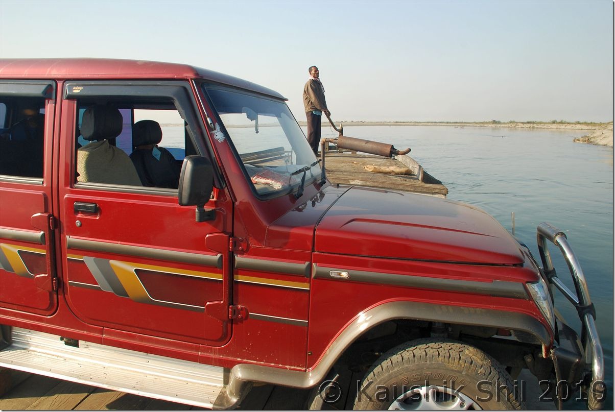
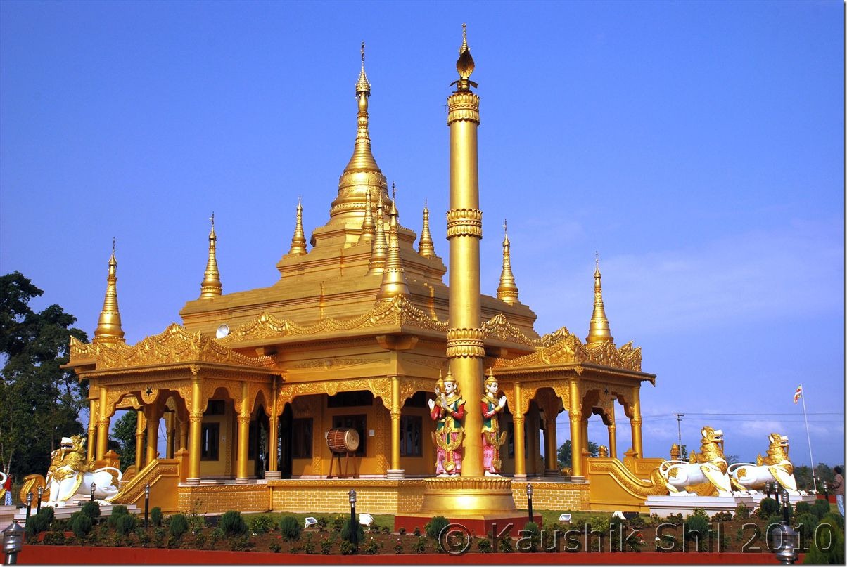
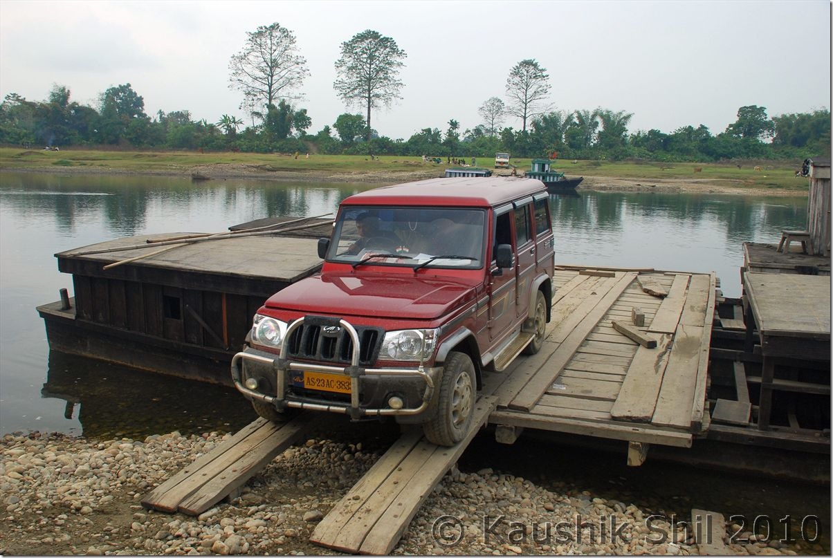
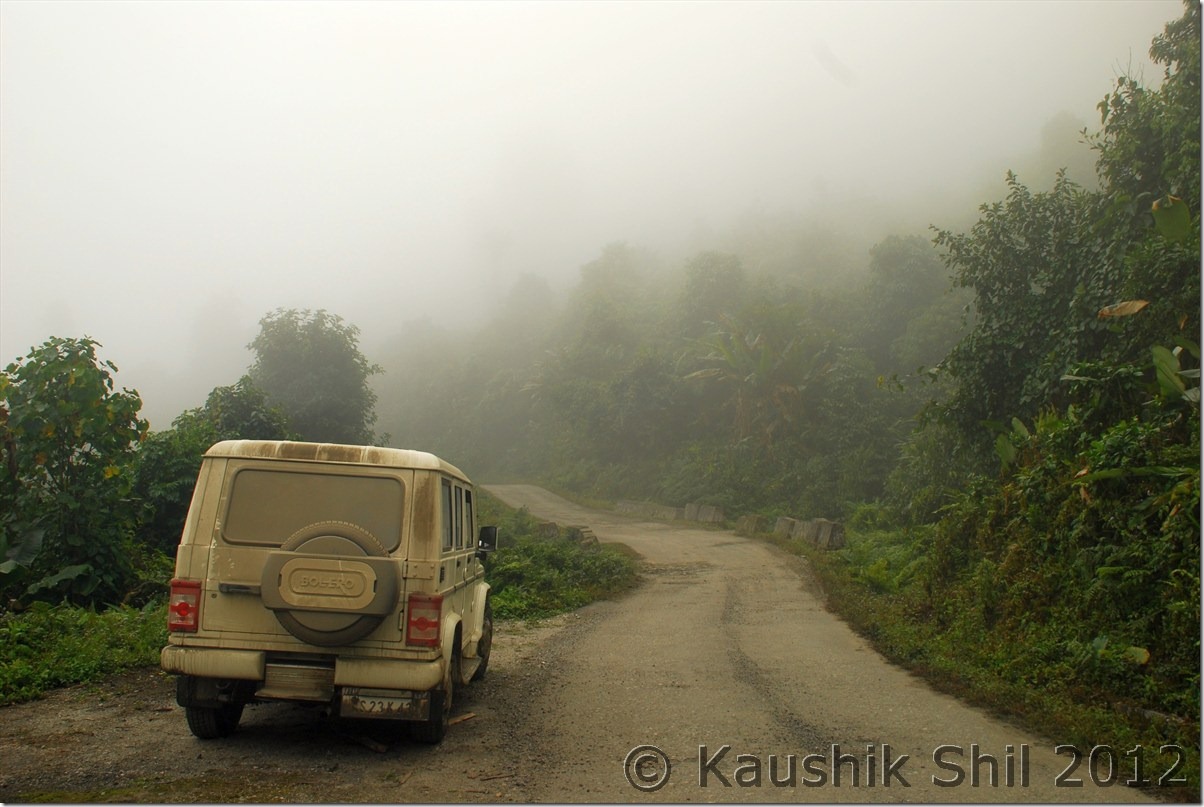
I started from Medo at 9.30am (which was pretty late considering my days plan) and visited Buddhist temple in Chowkham and Tengapani, excellent architecture and different from other Buddhist Temples in India in terms of the structure, you would find sound resemblance with Pagoda style of Myanmar and Thailand here. Finally I paid Rs.100/- all inclusive this time to cross a 2 min ferry ride with car to reach Jagun and from there to Miao via Kharsang (104km Medo to Miao through this route) at 3.15pm. As it was a Sunday, I had to waste some more time as we need to collect Namdapha Forest Entry Permit and Deban Forest RH Booking Permit from the forest Conservator Miao and being a holiday I had to call him and get it collected from his home. Finally we started at 3.45pm and hit the dreaded MV Road (Miao Vijaynagar Road) soon. MV Road was built in 1970s and soon left unattended as maintenance was extremely difficult in soft mud hilly terrain and dense rain forest. The whole stretch is 157km and only 25km up to Deban is still motorable and that too was closed for whole 2010 since a big landslide hit early this year. Governor of Arunachal tried reaching the place in August but had to come back in between and he then promised to come back at December end again. For him we heard the road became motorable few days back again up to Deban but when we gone after the rain, we found it’s only advisable with a 4X4 here. The road going through river bed and in dark if you don’t know it’s difficult to follow the correct road even. The roads inside the rain forest doesn’t get light even in morning, so around 4.30 we were driving almost in dark, in many places the mud was touching the foot board of Bolero. Suddenly we got a cracking a sound and discovered the front left wheel gone inside a trench on the side of the road which was completely covered by grass. We didn’t have much to do than to pray as only option was to lift the car from there which was impossible for 2/3 persons. Being 1st Jan, we found almost a God sent Picnic party returning from Deban and almost 25 people tried their best for 10 minutes to get the car out of the ditch. We started proceeding further in complete darkness now even more shattered after the earlier incident and crossing every single km seems like crossing a hundred km. It was never ending road, we got stuck in one more place where I don’t know how I could able to push the car from mud touching the underbelly of the car. Then in final twist we crossed the mark of Forest RH in left and kept moving through un-motorable stretch of MV Road. We were lucky as one PWD Camp was there barely a km ahead and they showed us the right way. We finally reached the FRH at 5.45pm but would never forget the experience of driving through that 25km. Mainly because of Governor’s initiative PWD started working again on the MV Road to make it motorable up to Vijaynagar and a few bulldozers were airlifted to Vijaynagar and started working on the road from both side. As per Governor’s wish, he wants to hoist National Flag on 26th January but I have real doubt if that dream would ever be met at least on 26th Jan of 2011. We had given accommodation in tourist hut as FRH was being prepared for Governor’s visit but the rooms in FRH were much better than the Tourist Huts. We had our dinner and gone to bed as soon as possible as solar light there gone off in 2/3 hours and we were extremely tired after a long day.

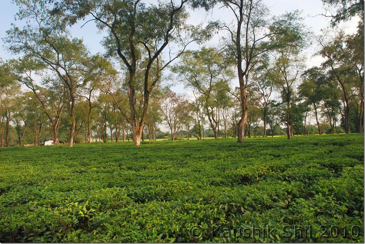
Tea Gardens at Medo

0651_Tea Gardens at Medo

Tengapani Buddhist Temple inspired by Myanmar Pagoda Style:

0680_Tengapani Buddhist Temple inspired by Mynamar Pagoda Style

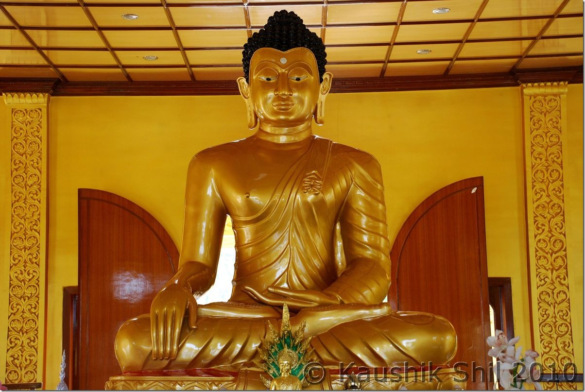
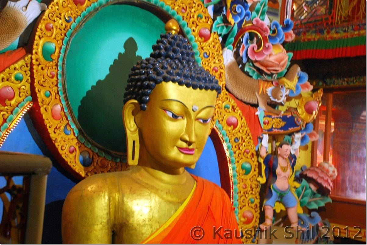
Lord Buddha:

0694_Lord Buddha

Crossing Namchik River to Jagun on the way to Namdapha:

0715_Crossing Namchik River to Jagun on the way to Namdapha

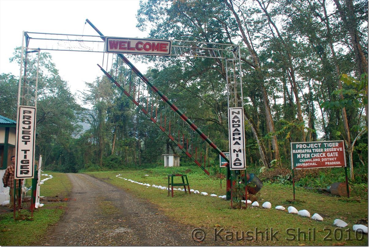
Entering Namdapha National Park:

0719_Entering Namdapha National Park

Previous: Arunachal Far East – Dibang Valley, Walong, Kibithu and Namdapha – Part-1

Next: Arunachal Far East – Dibang Valley, Walong, Kibithu and Namdapha – Part-3

Arunachal Far East – Dibang Valley, Walong, Kibithu and Namdapha – Part-1

This trip was never possible unless I would have got help from few fellow travellers like Kothanda Srinivasan, HV Kumar and Lindie. Trip log of Kumar is probably the only reliable road direction with valuable details for this region that available in internet; I didn’t even get any good map to plan for it. KS helped a lot by giving certain contacts of Dibrugarh, otherwise I never could get my ILP and Lindie’s help in getting accommodation details and information from web is invaluable. Phupla Singpo, a person who runs a NGO in Miao and Arif an engineer by profession and a great photographer by passion presently located in Jairampur were of great help and without their help I might not be able to cover all the places I intended to go.

My initial plan was quite ambitious and covering 3 weeks in Assam and Arunachal.. That cut short due to a family problem all of a sudden and I had to finally manage it in 12 days and because of that I decided to concentrate only on Eastern Arunachal and cancelled my flight ticket to Guwahati and booked it very late with heavy premium for 26th December to Dibrugarh.

Final Trip Plan was to start from Tinsukia and covering Roing — Mayudia — Tezu — Hayuliang — Walong — Hawai — Parsuram Kund — Wakro — Medo — Chowkham — Namsai — Bordumsa — Jagun — Miao — Namdapha –Jairampur — Nampong — Pangsu Pass — Ledo — Digboi – Tinsukia

Few Important Points to consider before making this trip

Let me summarize few points those are important to consider while making plans for an Arunachal trip specially central and eastern region. You can avoid these only by taking a service from an experienced tour operator in Arunachal but the premium to be paid for that would be extremely high.

Weather:

As the effective tourist season is quite short due to long spell of monsoon, the only option was to target this amazing place in Christmas/New Year holidays as November and December usually the driest in Arunachal and considering the remoteness and infrastructure problems, the weather plays a bigger role for a successful trip in this part of India. One day of heavy rain was almost ruining my trip, so checkout weather site and keep backup plan ready specifically if you go to remote place where river crossings or driving through boulders and mud roads are involved.

Accommodations:

The trip is little different than visiting other places of India because you need to plan in depth considering the absence of tourism infrastructure in the state except the Tawang sector. The available accommodations are only Circuit Houses, Inspection Bungalows or Forest Rest Houses those are usually cumbersome to book and even after that you always have a chance of cancellation in case of VIP Visit especially in a holiday season like Christmas and New Year. Usually repeated calls to DC/ADC/EAC/CO of the relevant district brightened the chance but in general communications in this regard only entertained 7 to 10 days in advance.

Inner Line Permits and Other Passes:

Other important thing is to going through administrative hassles of getting Inner Line Permits for the places you intend to visit and for some specific places even the special pass issued by District Administrations and Army. Some of the passes even require the Car Registration Numbers and Driver’s name and that makes it even more difficult to arrange in advance unless you drive your own vehicle. Permits usually issued for a specific tourist sector (Arunachal is presently having 11 approved tourist sectors) and it’s better to get the names of the place you would like to visit to be specifically mentioned in permit. I have two points to mention in this regard.

1. I arranged 6 permits, 2 from Kolkata, 3 from Mohanbari, Dibrugarh and 1 from Miao and permits issued from different places having completely different look and feel. This helps to some extent especially in check gates those are less touristy unlike Bhalukpong. In my case permits issued from Kolkata were scrutinized more rigorously than those issued from Mohanbari. So better option is to get permits from local offices if possible.

2. The rule is to enter and exit through same check gate and this sometimes make a round trip plan extremely difficult especially if you exit from a check gate where your vehicle is not entered. To avoid this I had to go extra 50 km when coming from Medo in Lohit to Miao in Changlang which is quite a lot considering extremely poor road conditions.

3. Considering backup plans, its better to arrange for all possible ILPs even if you don’t intend to visit all the places. For a remote state like Arunachal that might be really useful.

Vehicle:

Unless you drive your own vehicle, it’s an extremely important part to get a good vehicle and experienced driver to visit Arunachal. Vehicle costs the most among all cost components in the trip and without a good vehicle and driver it’s difficult to make this trip. Points to be noted are

1. The Vehicle Cost in NE usually having 3 components,

a. Dry Car Rent depends on type of car you choose but remote areas need Bolero/Scorpio kind of high ground clearance car as sometimes the NH shown in map is nothing but driving through river beds.

b. Drivers Daily Allowances varies from 300 to 500 per day or on actual. If you go to less touristy places, on actual having 3 distinct advantages, first it would be cheaper as almost all CH/IB having driver’s accommodation in low cost and second is less pocket money to driver is better in North East where drunken driving is a menace and third it helps to build up a rapport with the driver when you bear his costs on actual.

c. Fuel cost, it’s better to strike a deal on actual cost of fuel only if it can be ensured the car is in good condition and driver won’t take out fuel which is quite common here. Alternatively you can strike a deal of a rate like Rs/km or expected mileage of the car. My deal was car should give an average of 10km/ltr and if it goes better the profit would go to owner if less, loss has to be incurred by him, I ran for 1000km and paid for 100 liter diesel and adjusted the extra with rental cost.

2. It’s cheaper if you can strike a deal with owner or driver directly as sometimes 2/3 middlemen are involved when you go through travel agents. Also in my case I found cars from Tinsukia were less costly than taking it from Dibrugarh as because of simple economics of demand and supply.

3. Once again the roads are so poor, try to ensure that you get a car preferably less than a year old with good conditions even if that costs you a premium.

Food
Don’t expect dhaba or eateries anywhere in between specially when you are in Dibang Valley, Lohit or Anjaw, so try to get a heavy breakfast and keep dry foods and ample waters with you. This would save time as well in these slow roads.

Contingency Days:

Assam and Arunachal both are infamous for their sudden strikes and whatever small fraction calls it, for some reason it becomes a complete shutdown and may completely put your plan in a chaos. So keep extra days in hand.

26th December:

My indigo flight from Kolkata was a nightmarish experience just because of the Chaos in Kolkata airport on that day. I was almost missing the flight even after reaching airport 2 hours before the departure time. Would think twice before booking Indigo in a rush time from Kolkata. Landed 20 mins late at Mohanbari and had a great weather, from flight got unhindered views of Himalayan range and got an Indica to move to Tinsukia as I decided to start my trip from there instead of Dibrugarh. Tinsukia is having a few hotels but only 2 of them are good, Hotel Ballerina is prohibitively costly considering its ambience, I chose Hotel Mayur Jyoti, a value for money hotel, room rent was around 1000 all inclusive tax and food was good. While coming at Tinsukia, saw a few posters of “Assam Bandh” on 27th December, didn’t give much thought as it was called by a not so well known Students’ Union but when I called up the Owner of the Car I have chosen for my trip he said only next day we would be in a position to judge the situation. So went for sleep with hope nothing would happen and I might be able to stick to my plan.

27th December:

Got up at 5.00am as I was planning even if strike happens, I might give it a slip by leaving early but Assam Bandh is something spectacular, it starts from 5.00am and usually called for minimum 24 hours (I heard of 100 hours Strikes too there). Called up the owner of the car and he said we have to wait until 8.00am to see the situation and by 7.00am I understood I was going to loose a day, no shops were open, no transports on the road. I had no other option than to just lock myself in the hotel room for the whole day and try to do the toughest job, re-planning an Arunachal trip.

28th December:

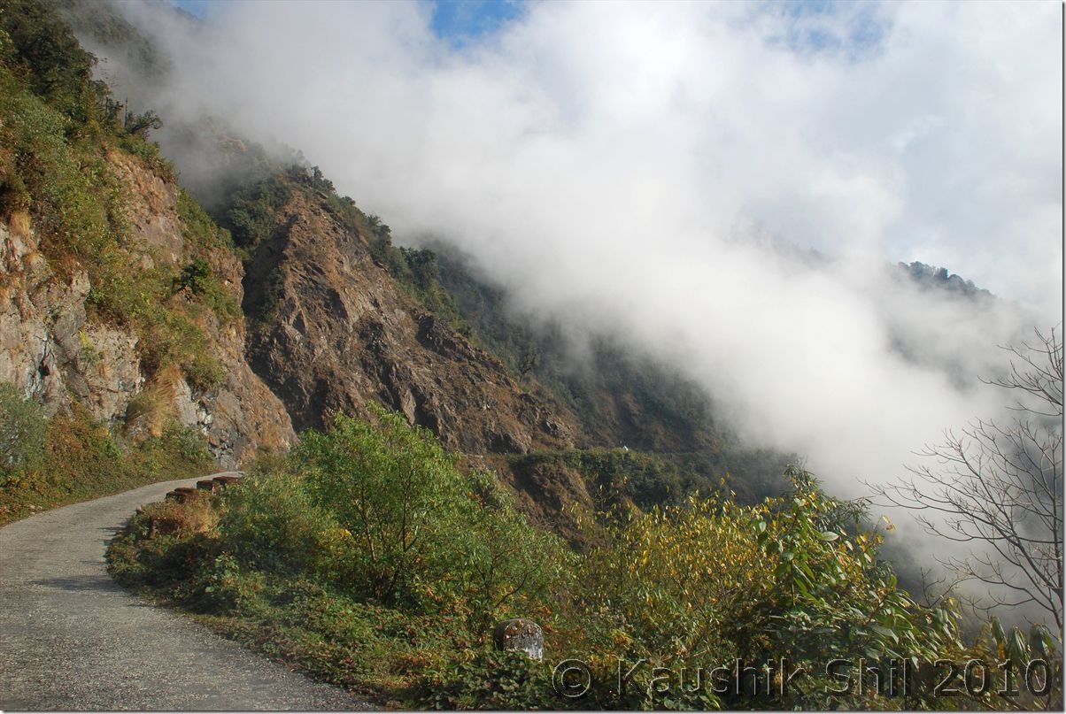
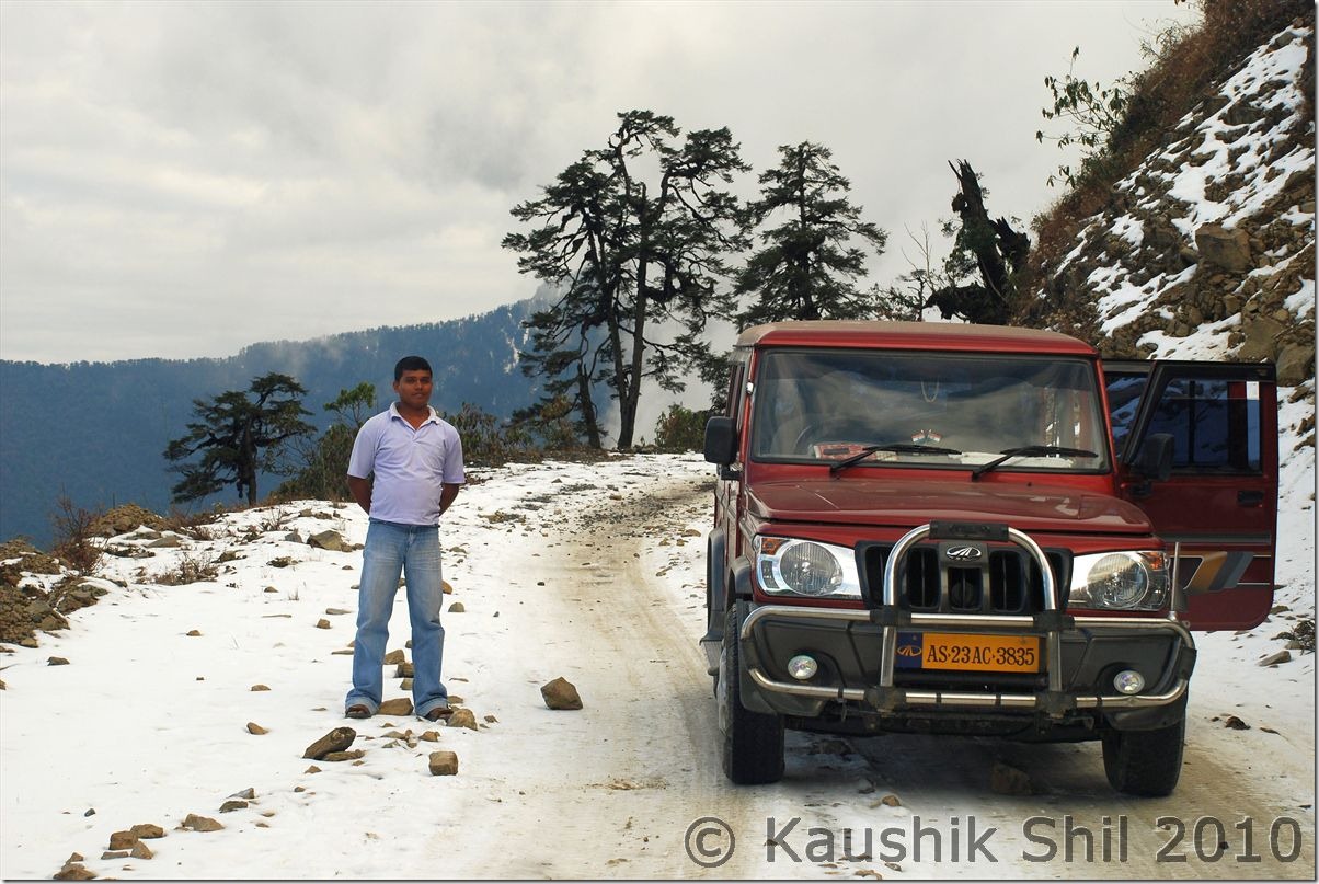
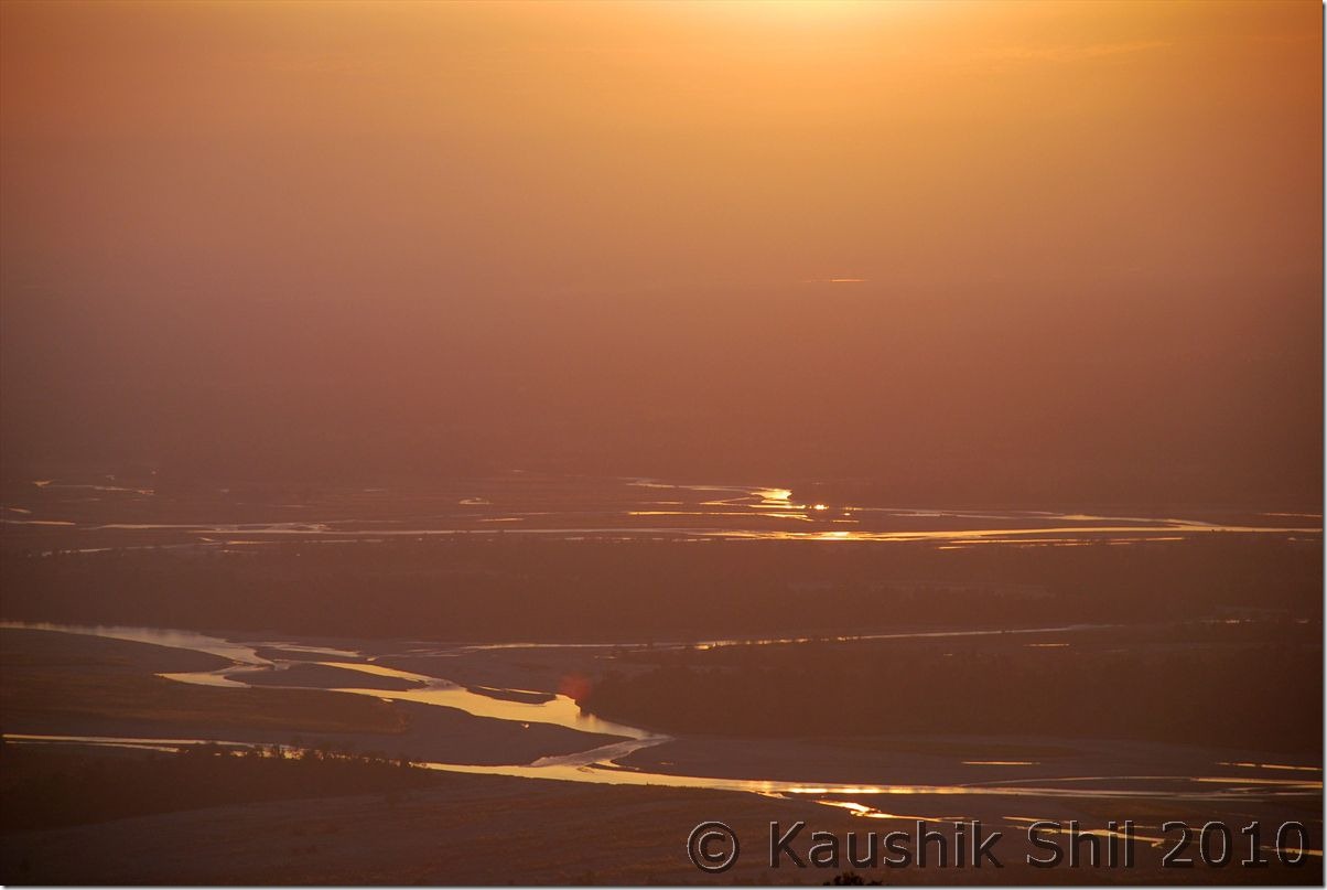
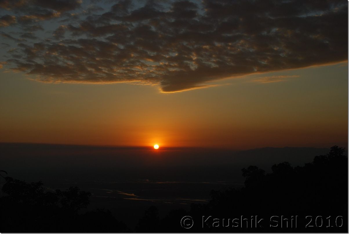
Got terribly irritated by a 24 hours unscheduled stop and left Tinsukia sharp at 6.30am. Followed the AT Road and from Makum the road bifurcates, right goes to Digboi and straight one towards Dumduma/Dirak. It was a foggy morning and a nice drive through tea gardens on both sides. Soon we crossed the junction where again road towards Dirak gate/ Parsuram Kund gets separated in right and reached the Brahmaputra. (Technically the river was still Lohit as after this place when Dibang and Siang meet Lohit, the river is named as Brahmaputra). The road up to this (almost 50km from Tinsukia) was brilliant and we reached there at around 8.00am. As because of winter, water receded far away and we had to drive almost 3 km through river bed to reach the actual waterline. The Govt Ferry was scheduled at 9.30am that charges 200/- to ferry car and 10/- per person but as we were in a hurry to make up our lost day, we decided to hire a private boat and it was proved to be terribly costly, they understood our situation and asked for 2000/- that was negotiated to 1500/- and finally we crossed the river to other side (Sadiya Ghat) by 9.00am. In Monsoon crossing this stretch takes 3 hours as per the boatmen, Fund is already sanctioned for a bridge here and work started but considering work culture of Assam; locals expect at least 10 years to get the bridge completed. The Bogibil Bridge is still not 50% completed and current estimated completion time is 2014. Once again after another 2/3km river bed drive on other side and paying a toll of Rs.30/- for some unknown reason we hit road in Sadiya District of Assam probably the worst road in whole Assam. Roing was barely 37km from here through Shantipur gate and it took us almost 3.5 hours. After a terrible journey and checking ILPs in Shantipur gate we reached Roing around 1.00pm straight proceeded to Sally Lake Guest House, a forest department bungalow within Mehao Wildlife Sanctuary located in a nice ambience just beside Sally lake. You could book it through ranger Mehao Wild Life Sanctuary and that’s highly recommended unless you can manage circuit house or Forest Inspection Bungalow at Roing. There are two private hotels (Lasa and Mimu) in Roing both are extremely filthy and difficult to stay even for a single night. We just checked in the forest bungalow and proceeded to Mayudia to make up our lost time. The road to Mayudia is extremely scenic and mountain roads through Mehao WLS, you might need quite a few photo stops in between and if you could cross this stretch early in the morning, chances of watching various species of birds are quite high. The road barring last 15km of total 42 km from guest house was good. This is the same road that goes up to Anini via Hunli, both are having circuit house to stay. Road to Anini is still cut off now for almost 8 months and even telephone lines are down, only communication with rest of the country is through helicopter. We got snow at Mayudia and that’s the primary reason why tourists visit there. There is a Forest Guest House close to the Pass where one can stay but there is no electricity there. Drove back to our Guest house in evening, experienced unforgettable sunset on Dibang River on the way.

Showkiaghat drive through Brahmaputra Sand bed:
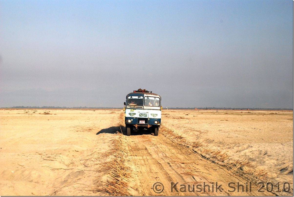
0016_Showkiaghat drive through Brahmaputra Sandbed

Crossing Brahmaputra:

0020_Crossing Brahmaputra

Sailing on mighty Brahmaputra:

0036_Sailing on mighty Brahmaputra

Sally Lake Guest House owned by Forest Department:
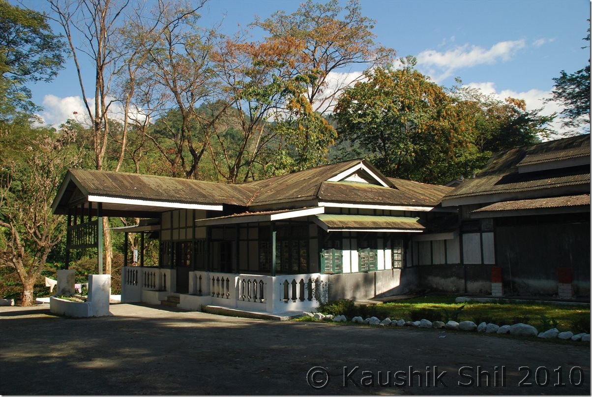
0051_Sally Lake Guest House owned by Forest Dept

Mists covering road to Mayudia:

0072_Mists covering road to Mayudia

At Mayudia Pass:

0077_At Mayudia Pass

Sun sets on Dibang Valley:

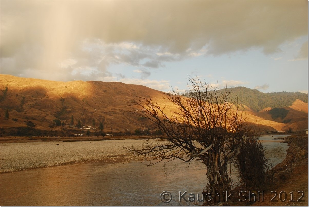
0101_Sun sets on Dibang Valley

Setting Sun on River Dibang:

0103_Setting Sun on River Dibang

29th December:

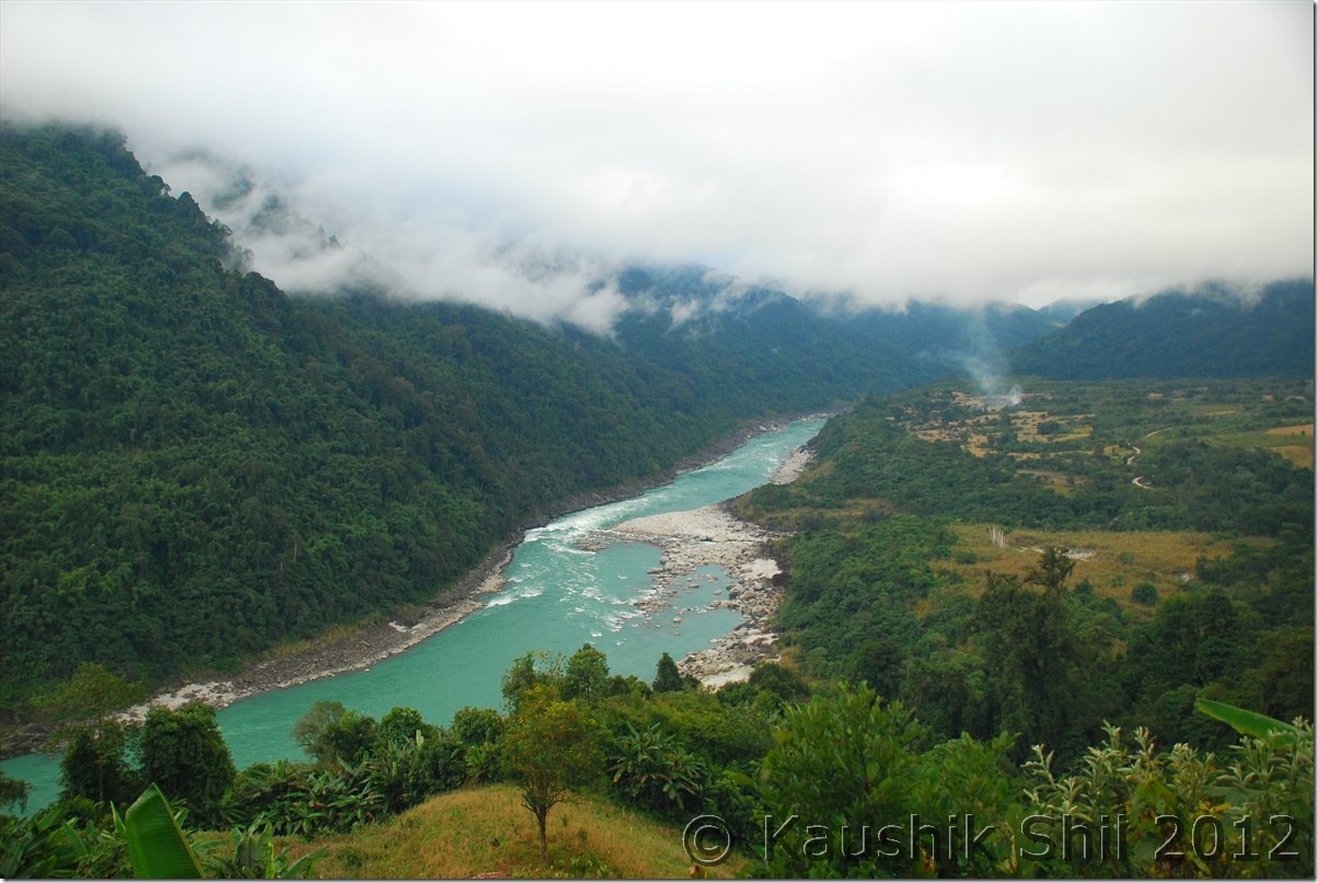
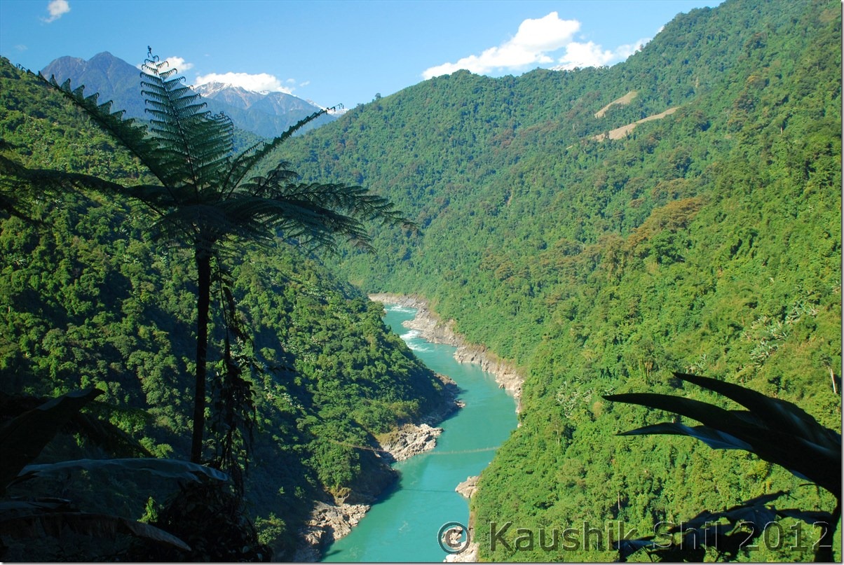
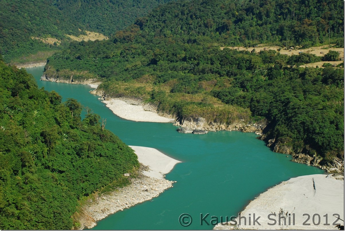
Again we had a long day ahead as I was planning to reach Hayuliang on that day, the shorter route from Roing to Tezu is through Bhismaknagar (an eighth century archaeological site) and I was planning to take that. But in main market when I enquired about the road condition (always advisable in Arunachal) all local drivers told me not to take risk in that road without a 4X4 vehicle as it’s mostly through various river beds with lots of Boulders. I changed my plan and as per their advice came back to Assam through Shantipur Gate and entered Arunachal again through Sunpura Gate. The road was almost non existent here as well; mostly through village roads we finally reached Tezu (from Roing its 67km) after a drive of almost 4.5 hours. In Sunpura gate my ILPs issued from Dibrugarh was of great help as Tezu was mentioned very clearly there, where as the ILP I got from Kolkata only having the districts mentioned. In check gate those guys started telling me a story of newly introduced charge of Rs.250/- per vehicle from tourist and when I challenged and asked them to show the Govt Circular, they simply let me go after requesting for some tips. To reach Tezu, we had to cross at least three rivers, one having good amount of water, every year the bridges are being washed away in monsoon, we could see them and new bridges for next season are being built probably to be washed away again. Tezu is last big town in the region and we took whatever we require starting from dry foods to water and finally started for Hayuliang around 11.00am. The roads after Tezu is excellent, probably being made recently for Parsuram Kund festival that is scheduled in Mid January and biggest festival of Lohit District. We crossed the Y-Junction at 12.30pm (24km from Tezu) where one fork comes from Tezu, other goes towards Namsai via Parsuram Kund and the third one goes to Hayuliang. From here the hill starts and Lohit river starts giving you company until you reach the north eastern most border between India and China. The road is extremely scenic but at least 6 stretches of 1 to 2 km each until Hayuliang were horrible and could be broken even in slight rain. The mountains and deep turquoise colored Lohit would be with you all along with several Orange Orchards in between. We reached Hayuliang (65km from Y Junction) around 4.00pm and as advised by ADC, instead of IB at Hayuliang we stayed at Circuit House of Khupa just 2 km ahead of Hayuliang. It’s recently built in 2009 and looks very new. The person there is very friendly and food was good as well. Had a nice sleep after a long day.

Last few villages in Plane before the hill starts:
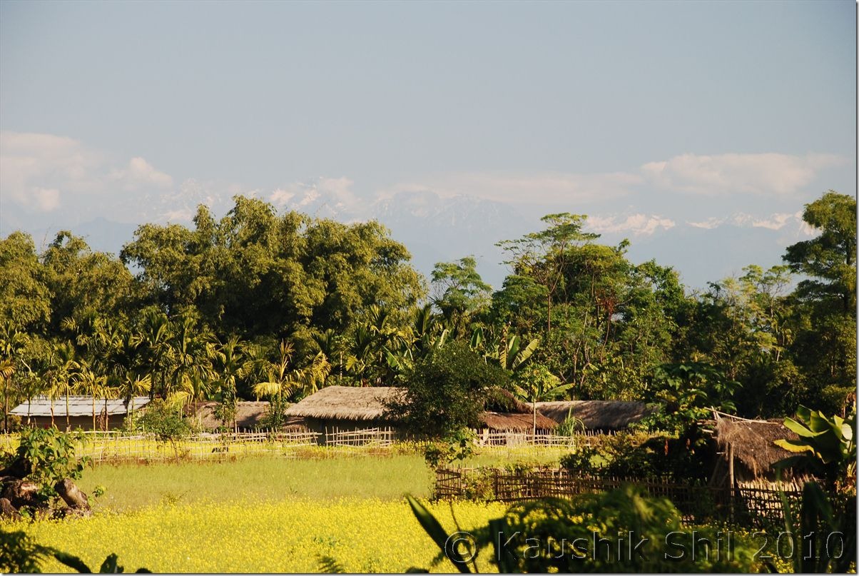
0126_Last few villages in Plane before the hill starts

The famous roads of Arunachal:

0135_The famous roads of Arunachal

Leaving Tezu proceed towards Hayuliang:
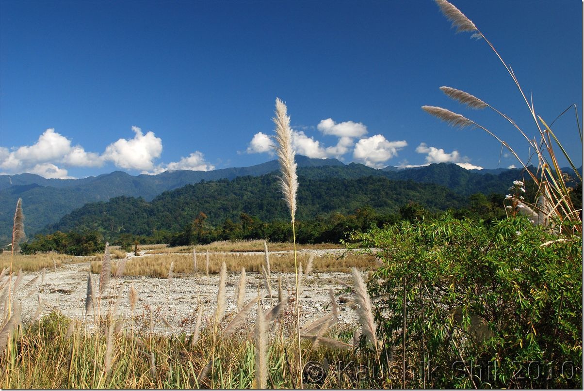
0153_Leaving Teju proceed towards Hayuliang

Village of Anjaw:

0155_Village of Anjaw

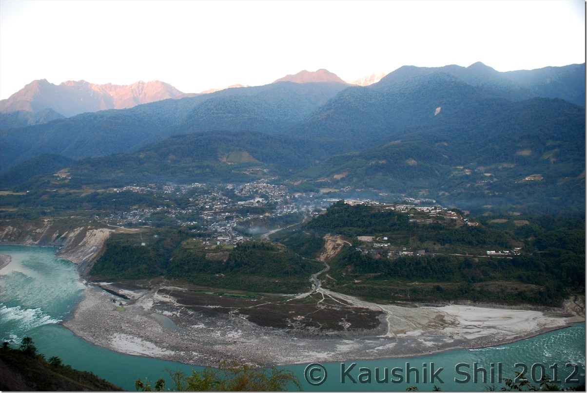
Lohit River Basin from Top:

0278_Lohit flowing through Anjaw

Mishmi Kids:

0195_Mishmi Kids

Orange Orchard:

0197_Orange Orchard

Circuit House at Khupa excellent place to stay:
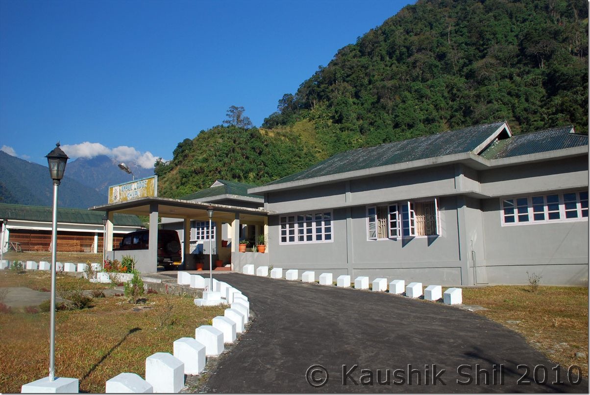
0223_Circuit House at Khupa excellent place to stay

30th December:

Started around 8.45am in the morning for Walong after the breakfast, There was a new road built by BRO to Chaglogam, another remotest circle of Anjaw but already broken in this year’s heavy monsoon. The road starts 5km after Hayuliang and may be later I would comeback for this stretch again. We drove along main highway, crossed the Chinwanti (47km from Hayuliang where the road to Hawai diverts) at 11.55am and leisurely driving and stopping for snaps all along the road. There are couple of hanging foot bridge over Lohit and we experienced crossing them, They are so narrow and starts swaying even with slightest wind, it is surely a life time experience crossing over them on foot. We reached Walong (85km from Hayuliang) only at 3.30pm after enjoying all through the road. At Walong we stayed at Inspection Bungalow, pretty cheap @Rs.200/- but excellent room and location to stay and we repented not planning to stay here for longer. There are several side valleys to explore from Walong like Helmet Top, Namti Top all having signs of 1962 Sino-Indian War. We had a nice dinner and then a good sleep though it was bone chilling cold at Walong.

Lohit flowing through Anjaw:
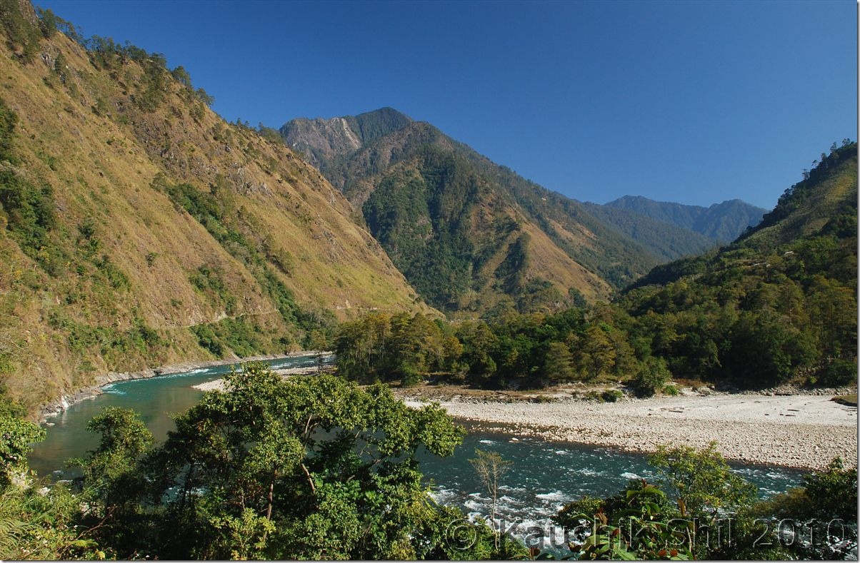
0278_Lohit flowing through Anjaw

Hanging Bridge on Lohit:

0310_Hanging Bridge on Lohit

Lohit Cutting Across the Valley:

0319_Lohit Cutting Across the Valley

Jhula on Lohit, the signature of Arunachal:
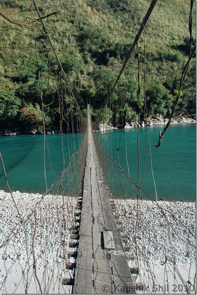
0325_Jhula on Lohit

Next: Arunachal Far East – Dibang Valley, Walong, Kibithu and Namdapha – Part-2
Amazing Arunachal – Back to Tinsukia via Along, the Journey Ends

Day 19:

This day was actually the start of our return journey and for next 4 subsequent days we would keep returning via Jengging, Along, Shilapathar, Dibrugarh and Kolkata.

First stop was again back at Jengging but we knew the road conditions very well and thought of starting early by 6.00 in morning. We had a tough time in Tuting to find diesel as there was not much electricity available in these places during winter (due to low water level in Siang and these places depend mainly on Hydro Electric) diesels were very costly as they used in generators locally and used for local jeeps / cars etc. Somehow from a Bengali shop keeper we managed to get 15 Ltrs of Diesel and that was enough for us to reach up to Jengging. We took our late breakfast / early lunch at Migging as we knew for next 100 km we would have nothing to eat. Siang as usual was following us, this time in left and we took relatively fewer stops as we wanted to explore Gandhi bridge in Moying. We found the locals here still were hunting small animals, birds with their guns (everyone in Arunachal is having gun license), they are really sharp shooters even from a young age. We reached Moying around 3 in afternoon and tried to explore the 2 km downwards towards the river. This was again a no road and we somehow managed to reach the point and had a walk on Gandhi Bridge. Though again a similar kind of suspension foot bridge but certainly it is much better built than other such bridges we encountered. We could this time spot the Yingkiong town very clearly just in opposite side of the Siang. The ferry was running regularly carrying the jeeps and people. There is regular Jeep services between Tuting and Yingkiong, those cross Siang regularly from this point. From Yingkiong there is Shared Sumo service available for both Along and Pasighat. We spent quite sometime in Moying and so when we finally reached Jengging, it was already evening but our caretaker was so kind he arranged for Cha and Pakoda which was really required after such a tiring day. We enjoyed the dinner too and retired for the day. This was our 2nd night in Jengging Circuit house, undoubtedly the best one I stayed if I consider location and warmth I received there.
Siang on the way back:

DSC_0891

Driving through the fog and mist:

DSC_0893

Siang still accompanying us:

DSC_0896 DSC_0898

Beautiful Landscapes: DSC_0901 DSC_0902

Ferry Service between Moying and Yingkiong across Siang: DSC_0908

Gandhi Bridge:

DSC_0910 DSC_0918

Yingkiong during Sunset: DSC_0929

Day 20:

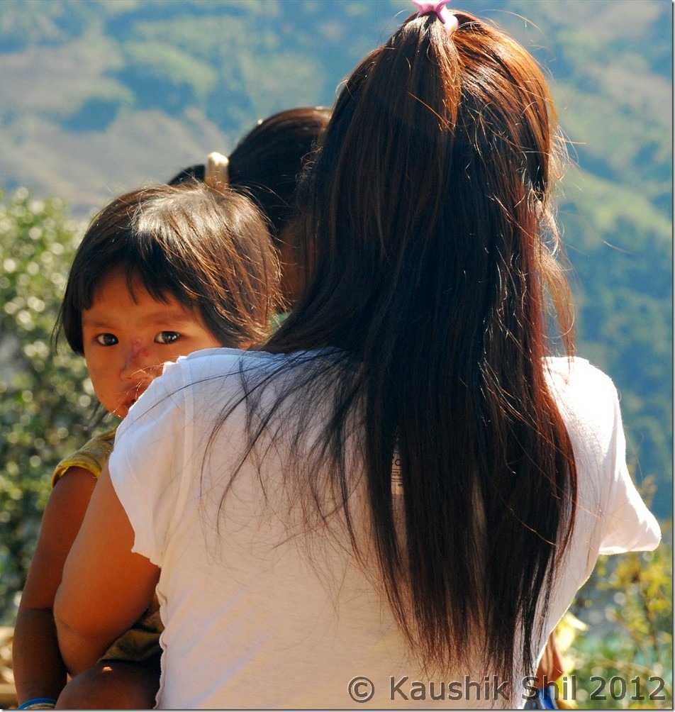
We started our day little late as we had just 130km to go to reach Along. We decided to break again at Along in the Circuit House. We were tracing back the same route but now for consecutive 4th day we were driving along with Siang and we still were finding it so exciting, feeling like taking snaps in every turn and bend of this mighty river. We took a tea break in 65 Miles again before proceeding further. There were lot of pretty faces and cute kids across the whole journey, especially in Siang side but they were too shy to pose for photographs. Whenever I asked for permission it was declined. When finally I got a chance to get a snap, you would see in below snap how the lady turned her back towards Camera. But anyway I got another cute face in the same snap We reached Along and checked into the circuit house around 3.00 in afternoon. We were very happy as the trip was almost over with no major hiccups and we completed whatever we planned to do and most importantly in Arunachal got at least 90% of our trip days absolutely cloudless and sunny. While discussing with Along Caretaker about next days plan, we suddenly realized that we had a tough day ahead as we had to cross ferry at Shilapathar and ferry service might get irregular after 1.00pm. Also each ferry could take just 3 cars, so we might have to wait long there in queue for our turn. The road till Bame was bad we knew and even it was worse till Bashar and some further ahead would make it some 8 hours to reach Shilapathar Ferry ghat. We didn’t want to take any chance as we had a flight booked for next day, so we decided to start as early as 3.00 in morning. This was little surprising as we didn’t think that this might be so early a journey in a winter morning that could be very bad with fogs and mists.
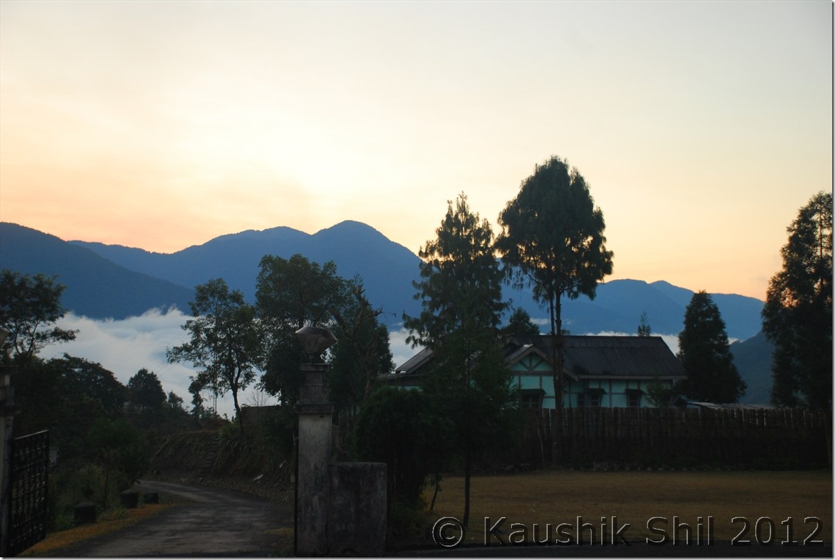
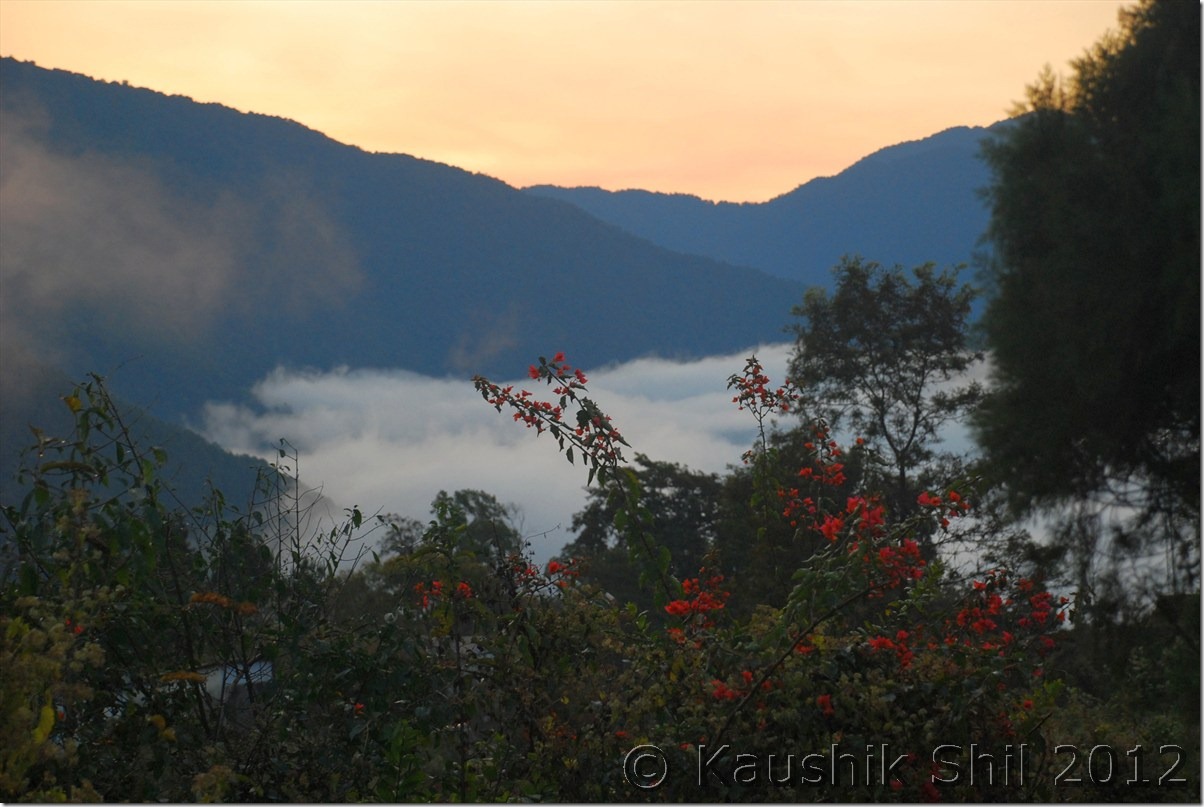
Sun Rise in Jengging – See the mist on Siang behind:

DSC_0933 DSC_0935

It’s the time to say good bye to Siang:

DSC_0947 DSC_0957

They are not so camera friendly :

DSC_0948

Day 21:

We started the day at 3.00 in the morning sharp but it was really a scary journey in a foggy late night with poor visibility. We all were feeling sleepy too. Anyway we drove till Bame where fortunately got a shop opened, had few cups of tea and kept ourselves a little warmer we started again and morning sun started showing its first rays when we just crossed Bashar. We finally reached Likabali gate and Ashim made the entry in check gate as we were leaving Arunachal finally for this trip. We reached Silapathar around 11.00 am and found we are in queue and could get a ferry of 12.45 only. It cost Rs. 800 per car to cross but now after being in hill for 3 weeks started taking its toll. We started feeling irritable heat of Assam and decided not to wait at river banks for 2 more hours. Little bit of search yielded results as we were offered to take the ferry to cross in just double price @1500 for the car. We negotiated further down to 1200 and then started for Dibrugarh. The half done Bogibil bridge would be on one side and it’s difficult to tell when that would finally be completed. There was no bridge connectivity in Upper Assam after Tezpur to cross over Brahmaputra. We crossed the river in around an hour and then on the other side again a long drive of almost 25km brought us to Dibrugarh. First thing we did was to do a car wash, the owner probably would have been shocked, if he could see his brand new car after a 15 days trip in Central Arunachal. After that we started for Tinsukia, another 50km road journey through nice tea estates. We reached Tinsukia and checked in to Hotel Mayur Jyoti, the same hotel where we stayed in our last trip in 2010. That was our last night of the trip and we had a dinner invitation at Ashim’s place. Enjoyed the evening with his family and had a great dinner but we were very tired as we started our day around 3.00 in the morning on that day. Fortunately we had an afternoon flight from Dibrugarh on next day, though it was preponed by an hour but we would still had enough time in our hand to do packing next morning.

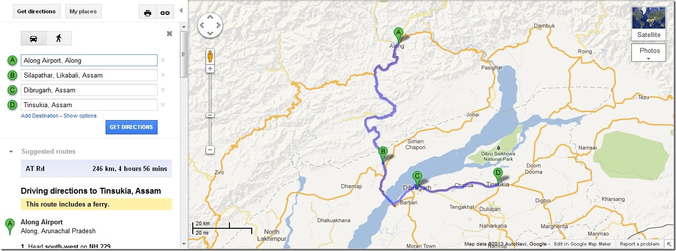
The driving distances for the day:

994 – Along
039 – Bame
050 – Basar
134 – Likabali Check Gate
145 – Shilapathar
150 – Meet NH52A at Akaijan
171 – Shilapathar Ferry Ghat
195 – Dibrugarh
250 – Tinsukia

The Journey Map of the Day : Along to Tinsukia

Along_Tinsukia

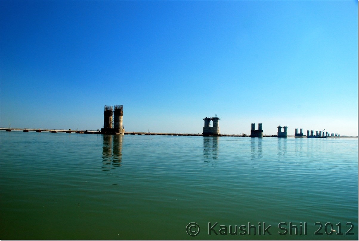
Mighty Brahmaputra and unfinished Bogibil Bridge:

DSC_0969

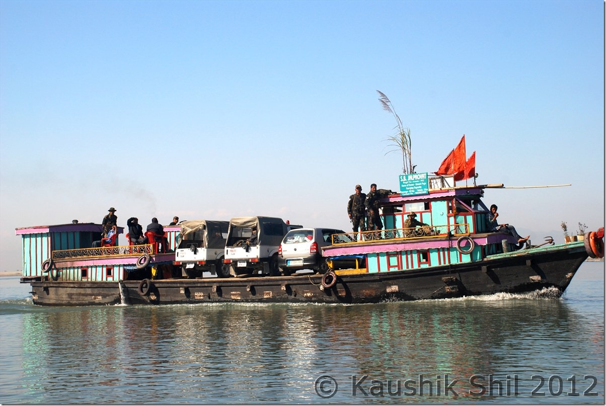
Crossing Brahmaputra on Ferry:

DSC_0975 DSC_0978

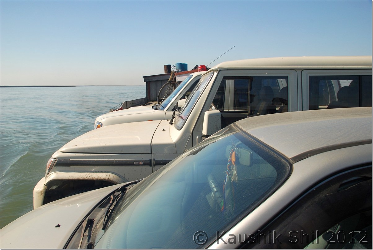
This needs some driving skill:

DSC_0981

Lot of Tea Estates between Dibrugarh and Tinsukia:

DSC_0982

Day 22 :

Nothing much to write about the day, Ashim was in time and we packed, had our lunch and left for airport sufficiently ahead of time. Indigo, usually very punctual, took us to Kolkata before the sunset and what a trip it was, my dream of covering whole Arunachal was almost done except few places in Upper Dibang Valley like Anini and North Eastern most Tirap. I would surely be back to these places again as this is one of my most favourite destinations in India just because it is still so unexplored and non-commercial with warm hearted people and awesome natural beauty.

Previous: Amazing Arunachal – Gelling Continued

The End

Amazing Arunachal – Tawang, Ziro, Along, Mechuka, Tuting : Introduction

When I last visited Arunachal, 2 years back I fell in love with the state, the awesome landscape starting from rainforests of eastern part to alpine meadows of western part meeting mighty Himalayas, the high mountains all around, deep gorges carving its way with blue waters gushing in, you can clearly see and feel the rapids from top. Waterfalls in almost every bend, in one turn its vast blue sky and in next turn in completely filled up with fog and mist. Arunachal will surprise you in every moment, the other aspect is the diversified culture, it’s completely a tribal state and there are 101 recognized tribes in Arunachal and mostly believe in different religions like Donyi Polo (Sun and Moon), Hinduism, Christianity etc. The state has borders with 3 foreign countries, Bhutan in west, Tibet (Now People Republic of China) in North and Myanmar in East. Tourism is not developed except the western part of Tawang sector, which was developed by late Mr. Dorje Khandu, the former chief minister of Arunachal who belonged to Tawang. The state buses sparsely run through the main towns but still Shared Sumo service is the most common mode of transport for locals, in almost all districts you would still find 30% villages not having any road connectivity and still depend on long trek to meet their daily needs. Actually northern part of Arunachal was more closely connected with Tibet through 4/5 different passes until British drew McMahan line in 1913 as per Shimla Accord with Tibet. The usual business with Tibet had been going on until China disregarded the McMahan line and attacked India in 1962 in both Ladakh and Arunachal sector. Since then all the passes were closed and the whole border with China/Tibet was closed and people were forced to walk 3/4 days through treacherous mountains and dense forests to come down to Indian plains to start their new lives. When we visited places like Gelling, merely a km from McMahan line, the elders were telling us the sad stories how they suddenly got partitioned from their near and dear ones living just couple of km across other side of border since 1962. The state is covered by mountains from west to east and deep river gorges from North to South including Kameng, Subansiri, Siyom, Siang, Dibang and Lohit that created mighty Brahmaputra river system. So traveling the state is extremely difficult from west to east as there is a lack of trans-Arunachal highway which is presently being built with the aid from Central Govt. Every time you have to come down 300 km to Assam and then again have to go up another 300km to reach another spot. So you need at least 45 days just for a touch and go trip to visit the prominent areas of state. So better if you could make multiple visits. Last time we covered Eastern Parts covering Lower and Upper Dibang Valley, Lohit, Anjaw and Changlang districts, this time we covered western and part of central covering, West Kameng, Tawang, Lower Subansiri, Upper Subansiri, West Siang, East Siang and Upper Siang.
The 5 major ancient trade points between Tibet and Arunachal was through Kenzamane (Zemithang), Bumla (Tawang), Kapangla Pass (Gelling), Lolla Pass (Mechuka), Dumla Pass (Monigong) and Kibithu. Except Bumla (where civilians are allowed with passes from DC and Army) all the other borders are closed for civilians. Our main intention was to travel as close as possible to these points to trace the historical McMahan line. We covered Kibithu in last trip, so tried to touch upon the rest of the points.
Our itinerary was like this:

Day1 – Kolkata – Guwahati Flight and drive to Nameri
Day2 – Nameri – Bhalukpong – Bomdila
Day3 – Bomdila – Dirang – Tawang
Day4 – Tawang – Zemithang – Tawang
Day5 – Tawang PTso – Sengetsar Lake – Bumla – Tawang
Day6 – Tawang – Sela Pass – Dirang
Day7 – Dirang – Bhalukpong – Nameri
Day8 – Exploring Nameri National Park
Day9 – Nameri – Balipara – Kimin – Ziro
Day10- Around Ziro
Day11- Ziro – Daporijo
Day12- Daporijo – Along
Day13- Along – Tato – Mechuka
Day14- Mechuka
Day15- Mechuka – Tato – Along
Day16- Along – Pangin – Jengging
Day17- Jengging – Tuting
Day18- Tuting – Gelling – Tuting
Day19- Tuting – Jengging
Day20- Jengging – Along
Day21- Along – Shilapathar – Bogibil (By Ferry crossing Brahmaputra)- Dibrugarh – Tinsukia
Day22- Tinsukia – Dibrugarh – Flight to Kolkata

Enough of Texts and now a few snaps to share some highlights of the trip:

Nameri Eco Resort:

DSC_0001

Bhalukpong in the side of Jiabharali (Kameng River):

DSC_0012

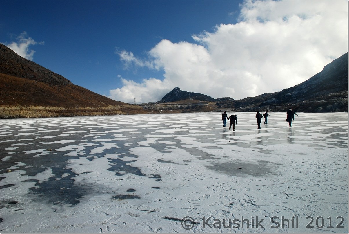
Semi Frozen Sela Lake at Sela Pass:

DSC_0085

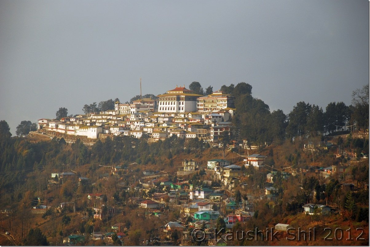
Tawang Monastery:

DSC_0089

Magical Zemithang:

DSC_0135

Snowed Out Tawang:

DSC_0171

Snow in backdrop of Fall Colors:

DSC_0181

Inside Tawang Monastery:

DSC_0227

Sunrise in Nameri:

DSC_0265

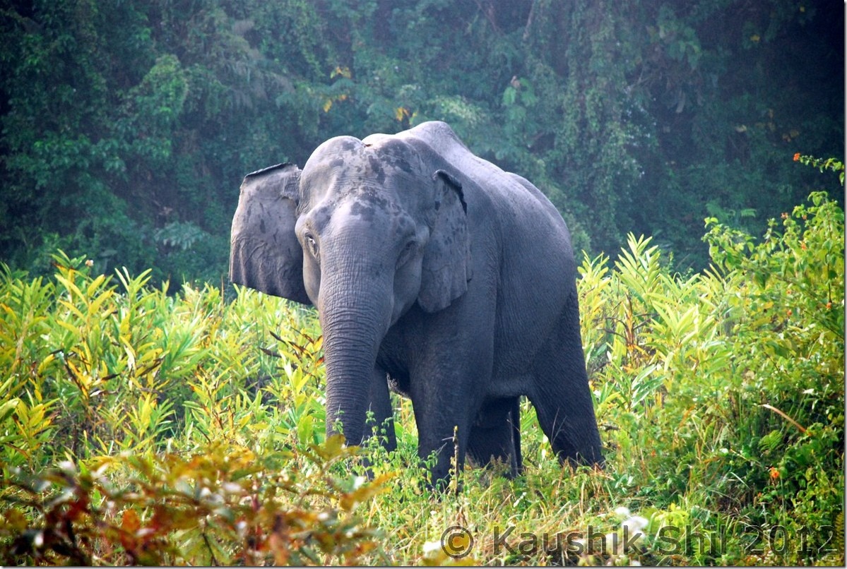
Elephant Nameri National Park:

DSC_0275

What a Geometry:

DSC_0284

Ziro:

DSC_0350

Apatani Girl:

DSC_0369

Subansiri River:

DSC_0421

Wayside Water Falls towards Mechuka

DSC_0488

Adi Tribes:

DSC_0496

Mechuka in evening

DSC_0512

The Hanging Bridge at Mechuka, Signature of Arunachal:

DSC_0556

River Si (Yargap Chu):

DSC_0559

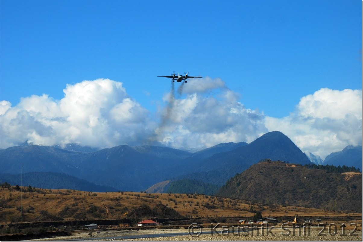
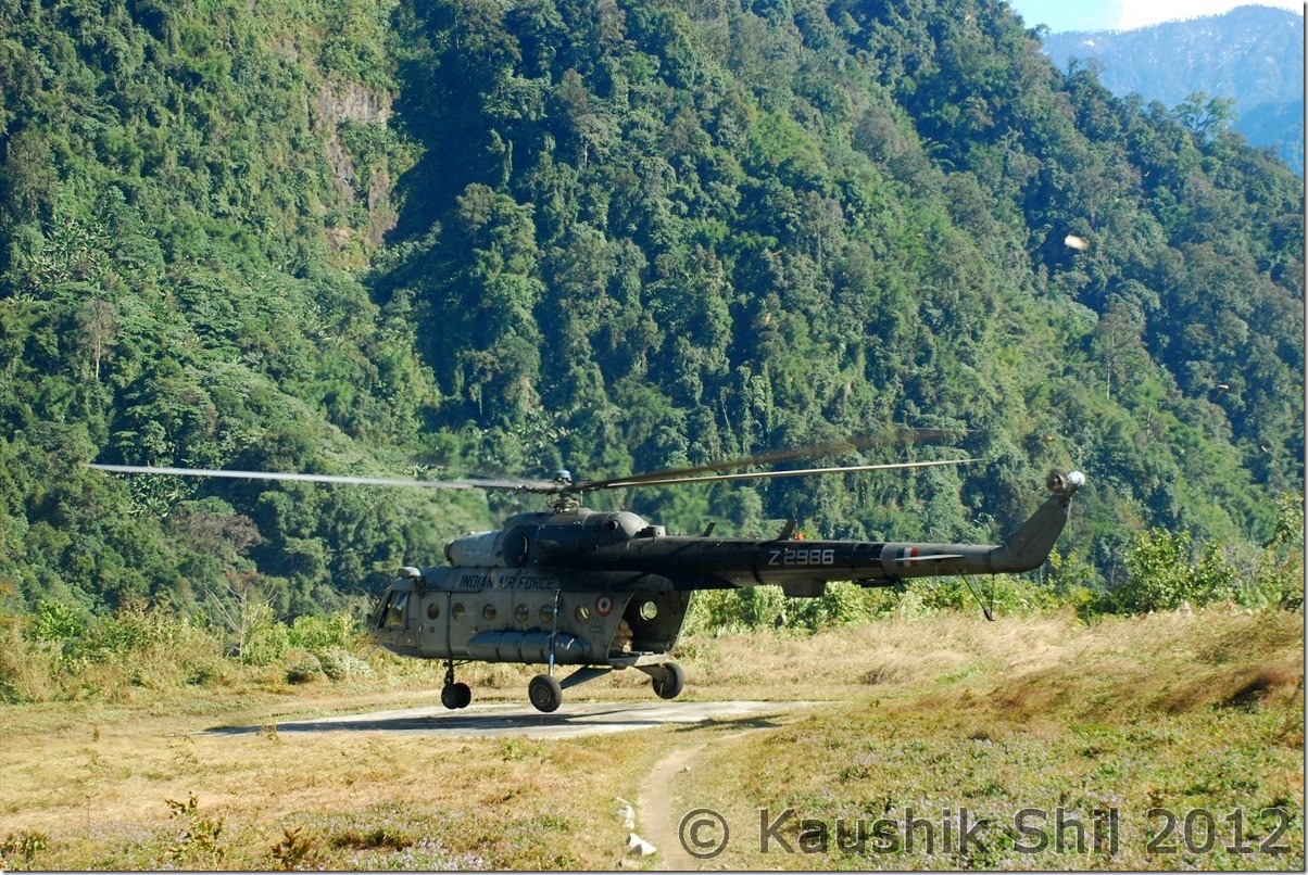
Indian Air Force is landing at Advanced Landing Ground Mechuka:

DSC_0583

Mechuka:

DSC_0602

Mechuka at evening:

DSC_0637

Moonlit Mechuka:

DSC_0644

Mystic Mechuka Valley:

DSC_0650

Gorgeous Serenity:

DSC_0657

Lovely colors:

DSC_0664

Siyom River:

DSC_0685

Morning Mist on Siang Gorge:

DSC_0736

Mighty Siang:

DSC_0749

Tuting Inspection Bungalow:

DSC_0780

Indian Army at LAC near Gelling:

DSC_0793

Chopper drops the ration at Gelling:

DSC_0812

Memba Boys:

DSC_0836

Gelling, the gorgeous Village:

DSC_0839

The green mountain in back is the dividing line between India and Tibet (China) – McMahan Line:

DSC_0854

The Cute Lama:

DSC_0863

Majestic Upper Siang:

DSC_0901

Galo Girls:

DSC_0948

Next: Amazing Arunachal – Nameri National Park and on the way to Tawang