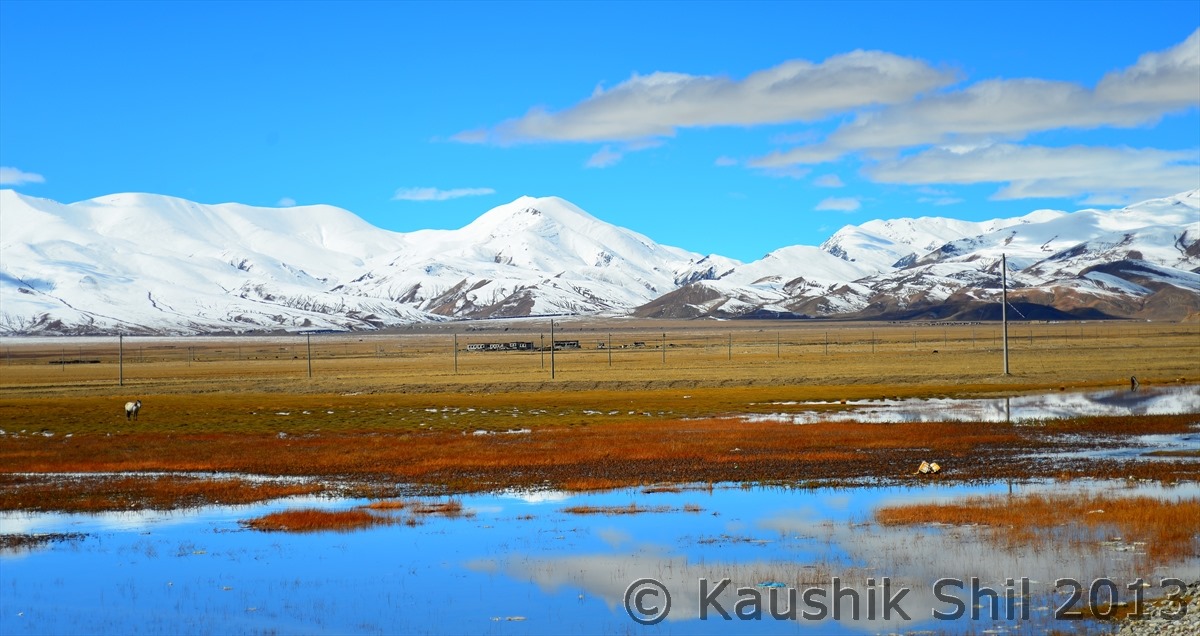
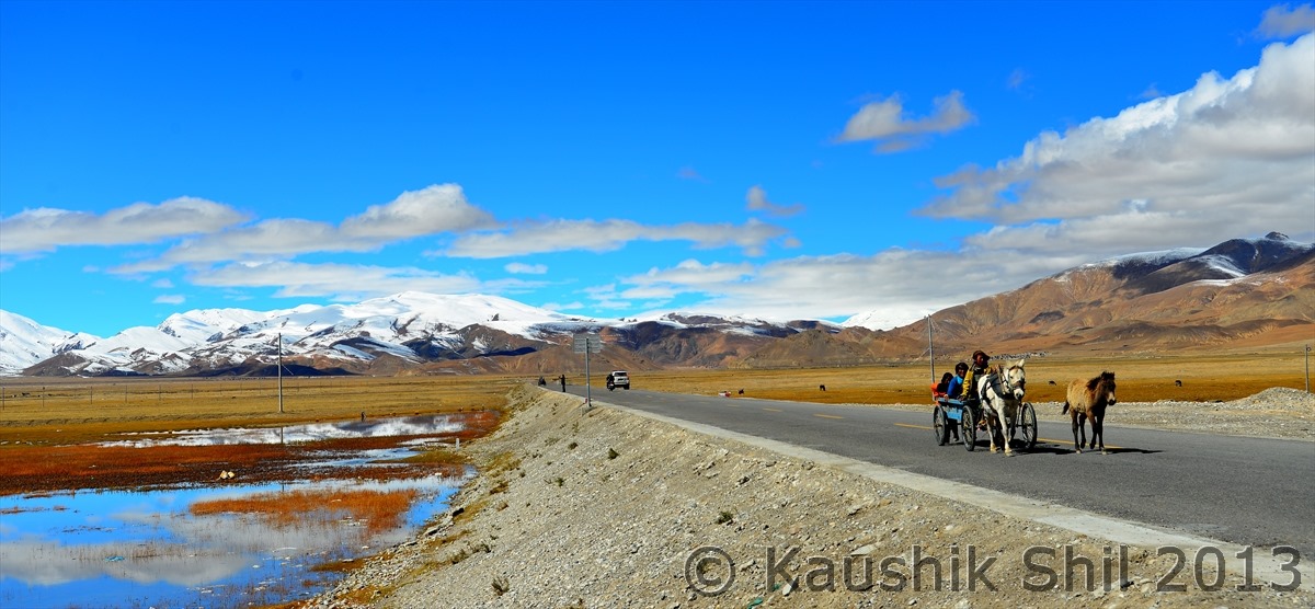
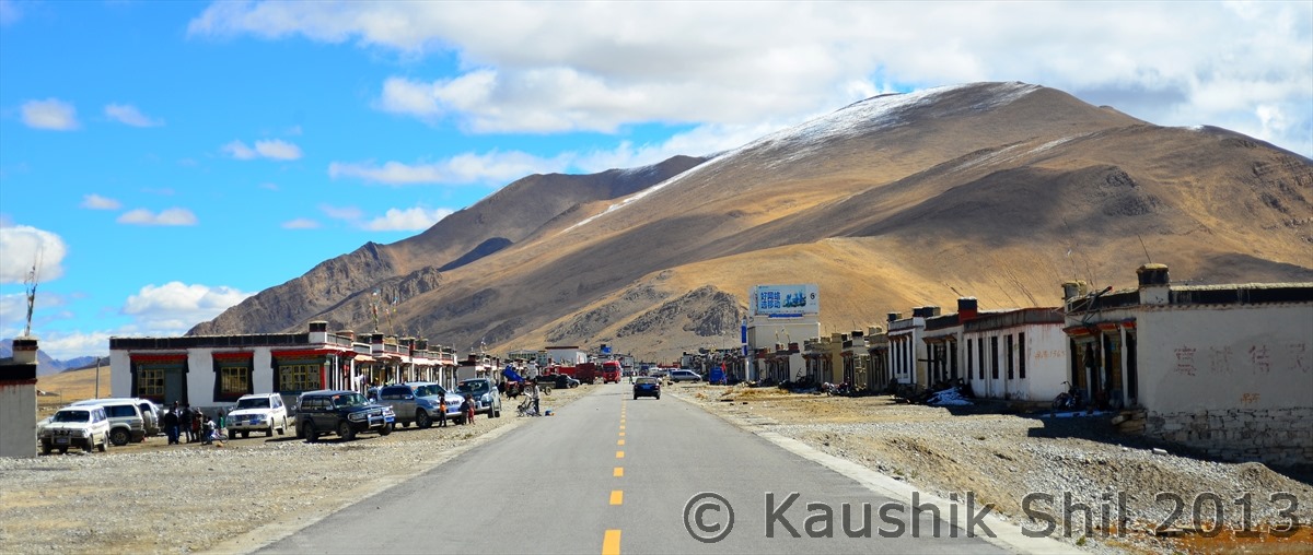
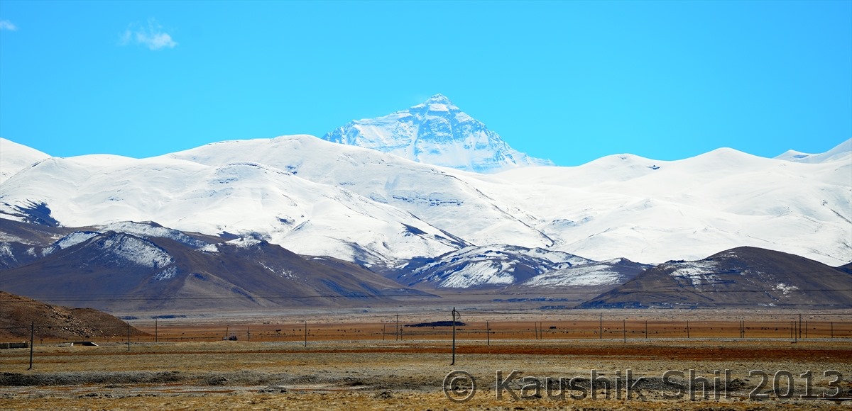
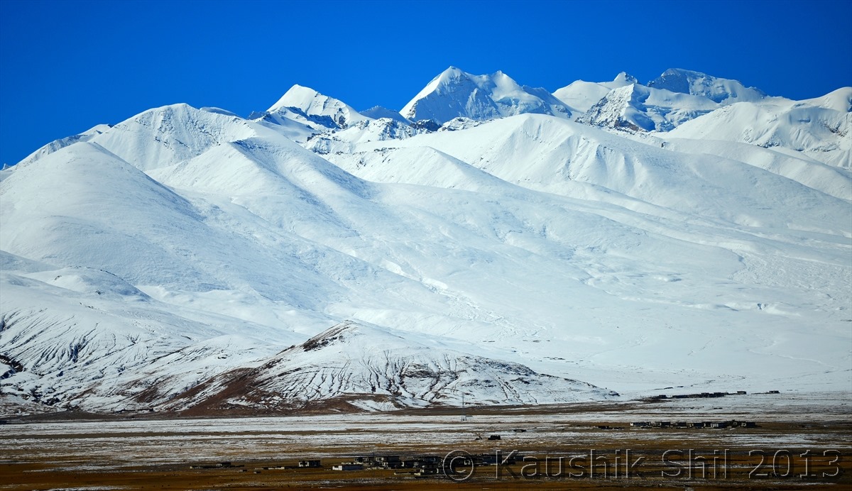
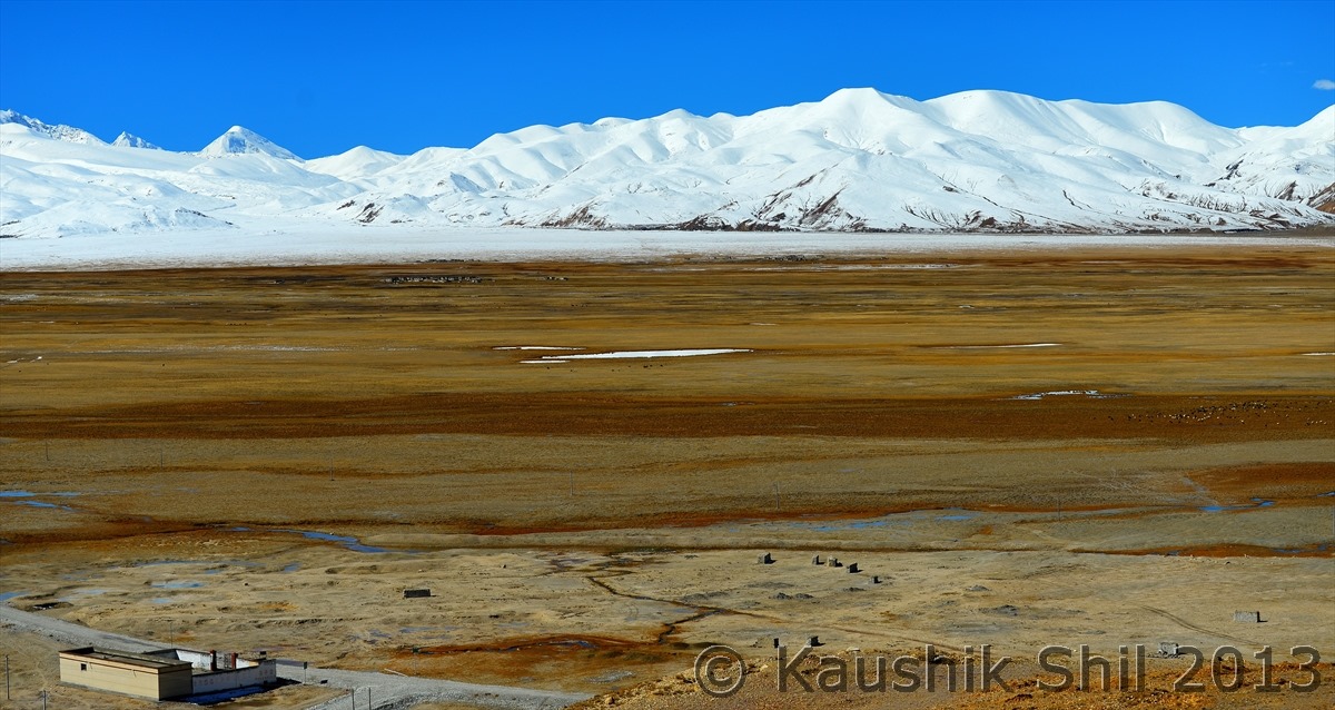
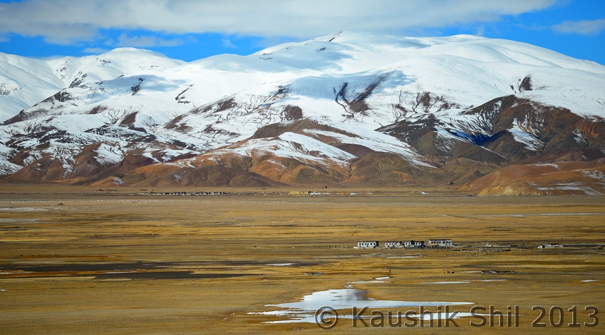
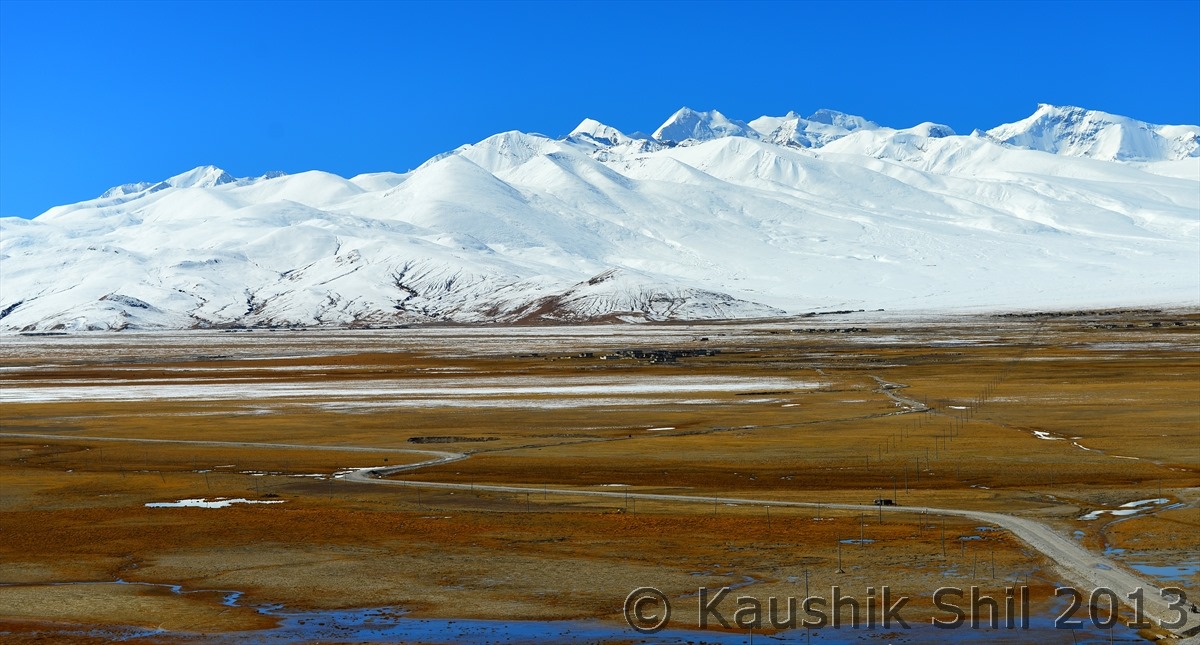
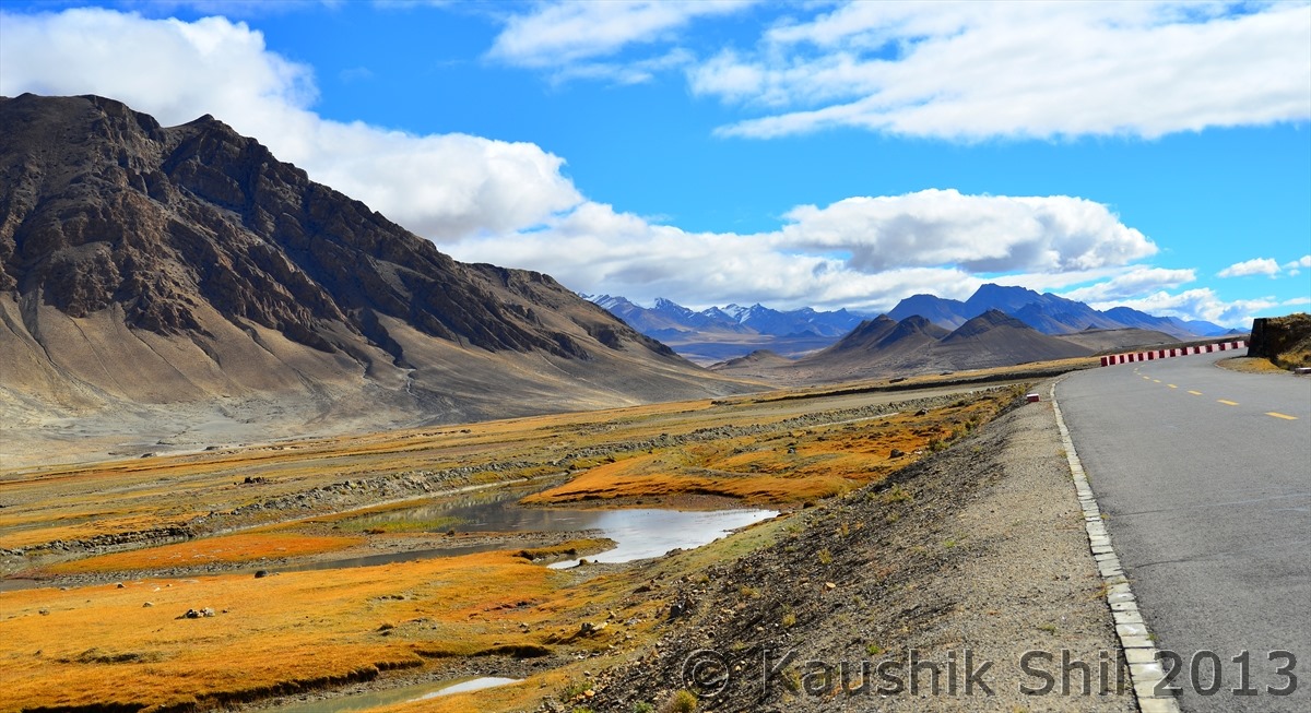
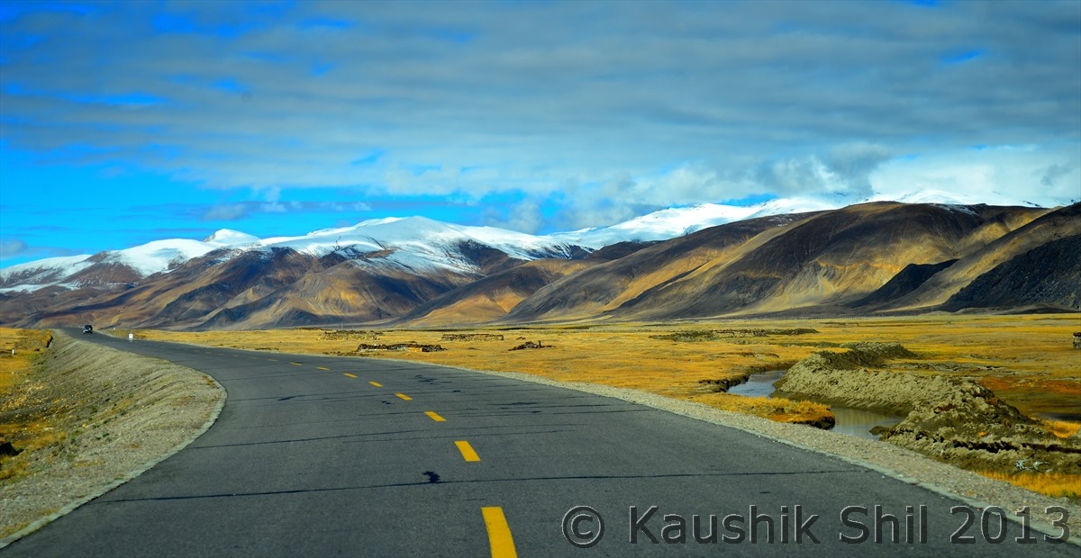
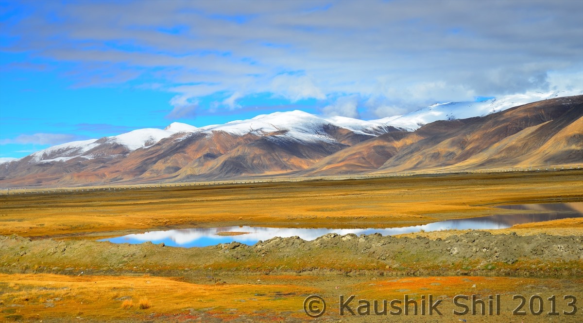
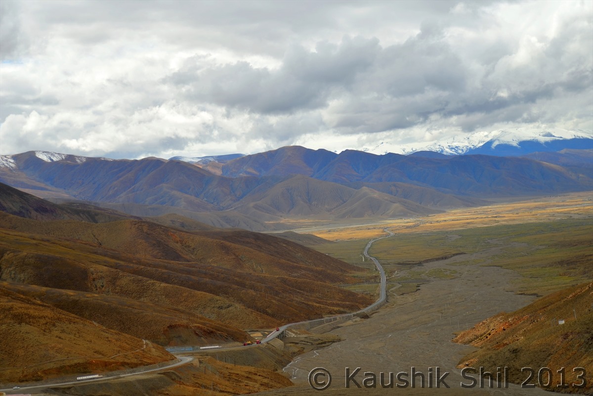
Xinjiang, China’s Central Asia and incredible Tibet – Day 27/Part 7

Day 27 continued..


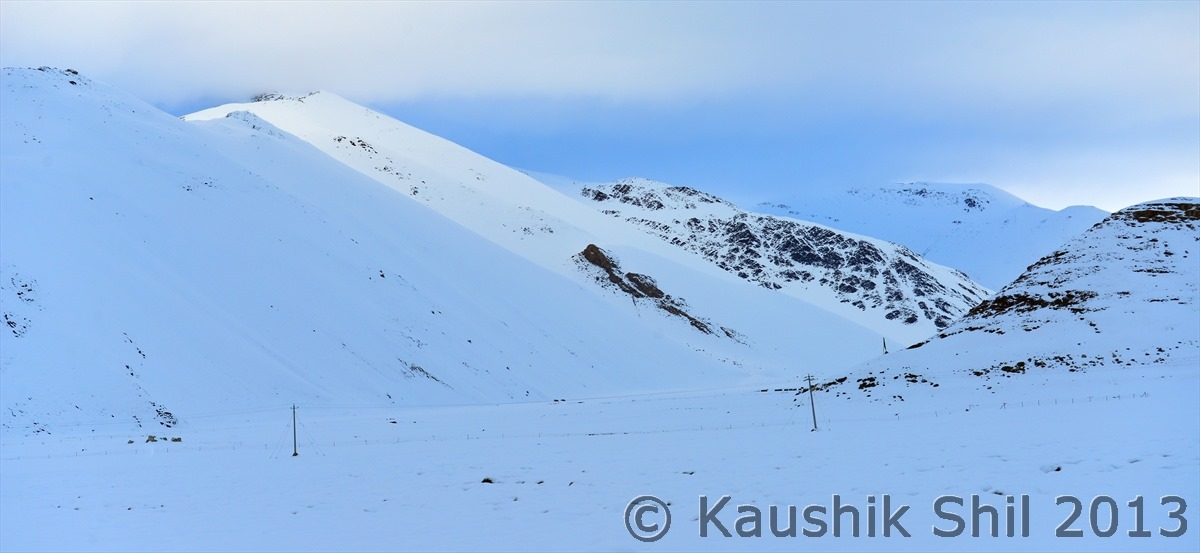
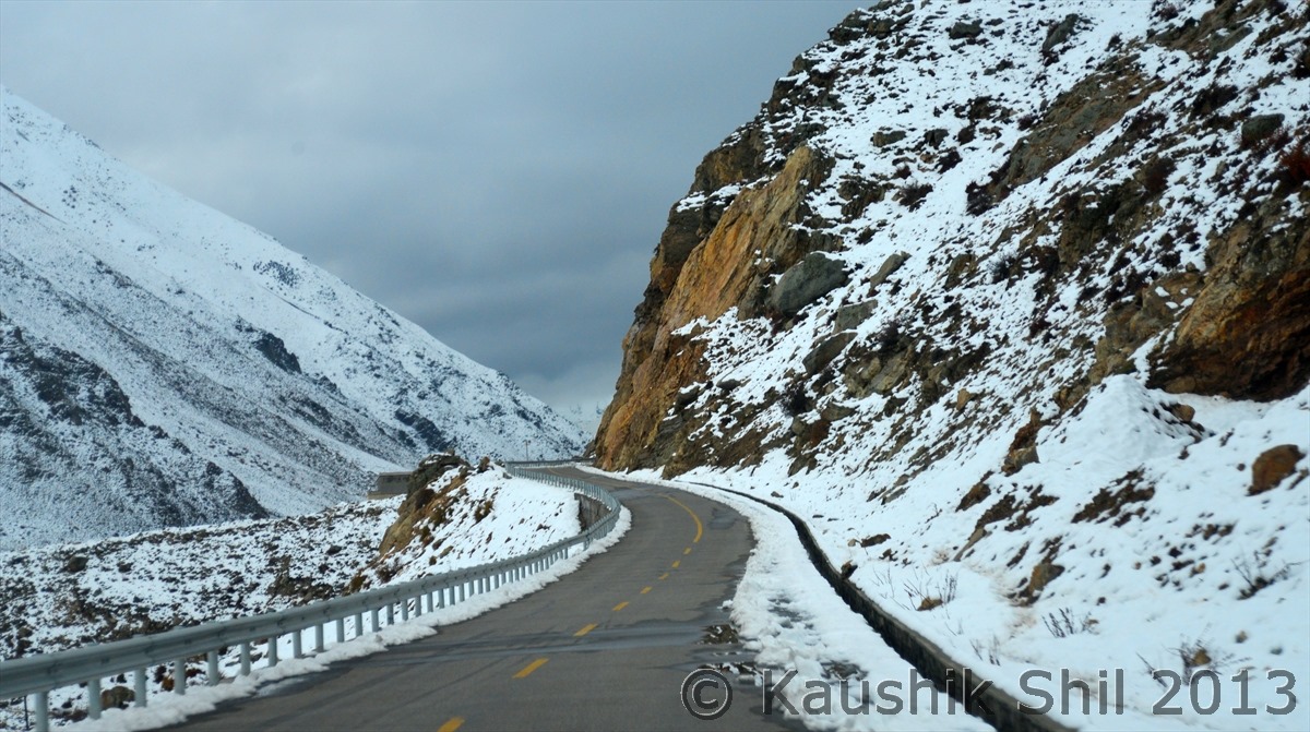
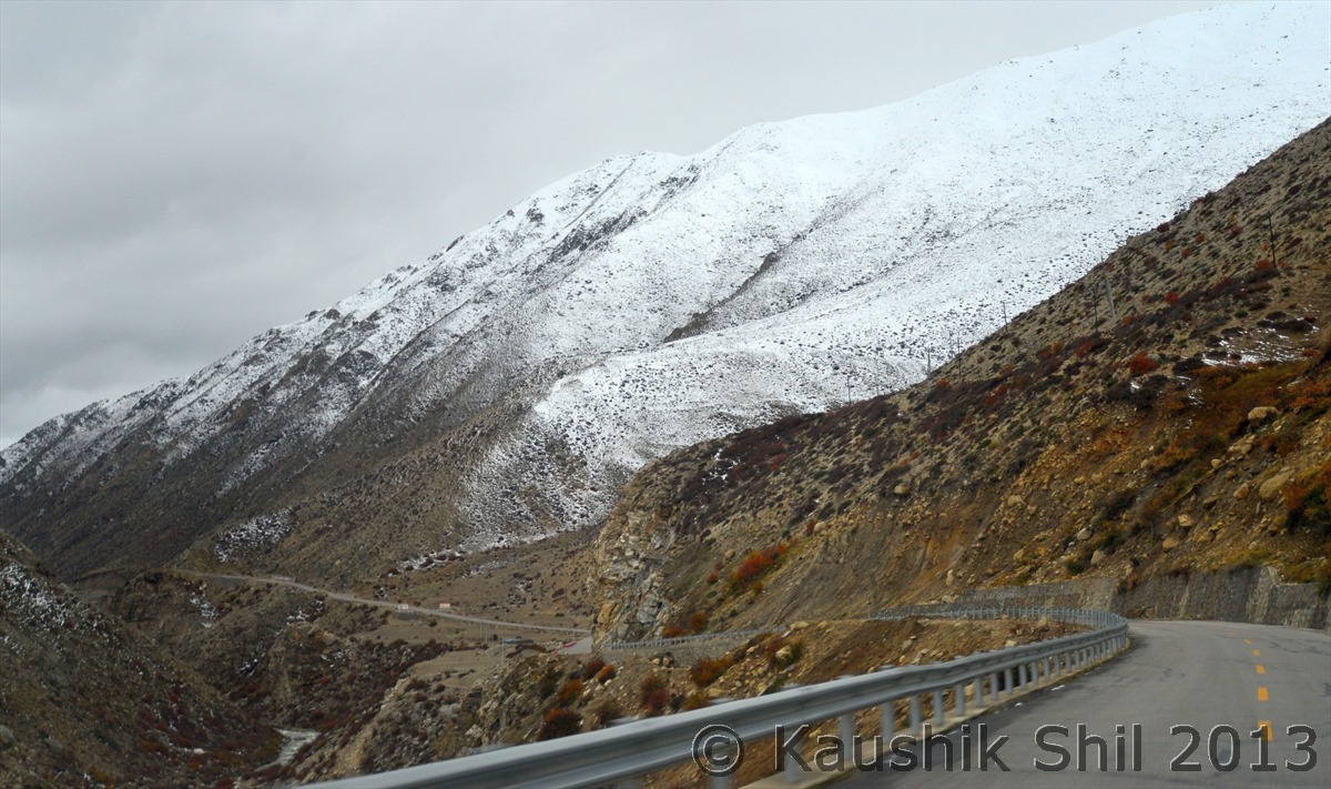
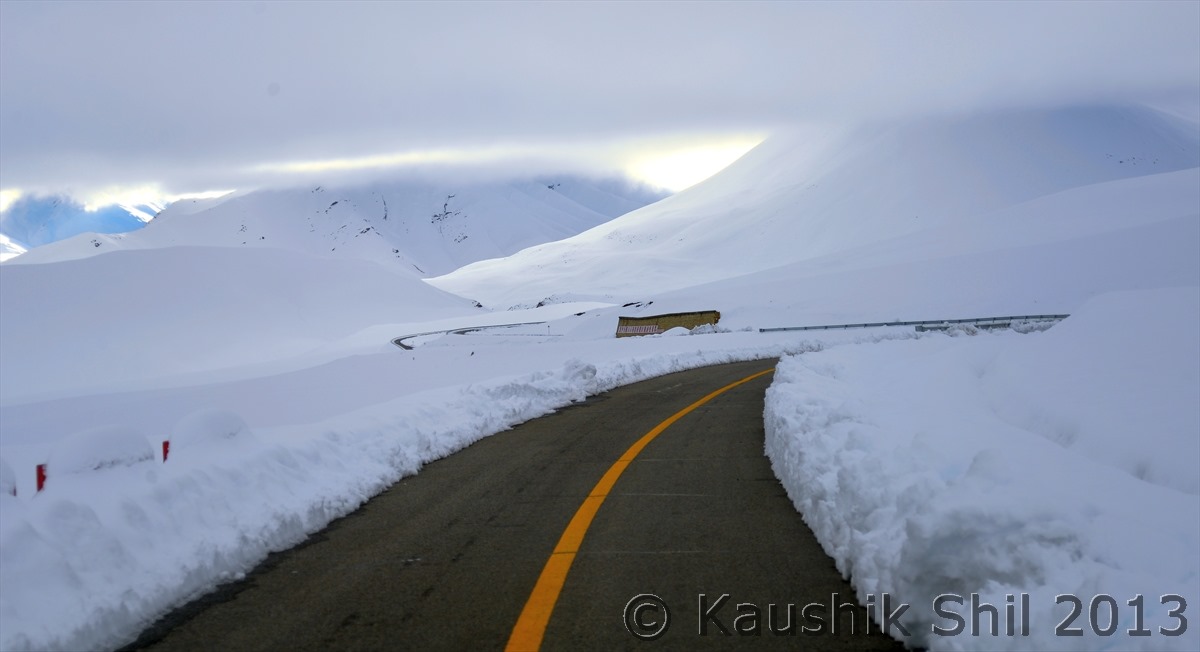
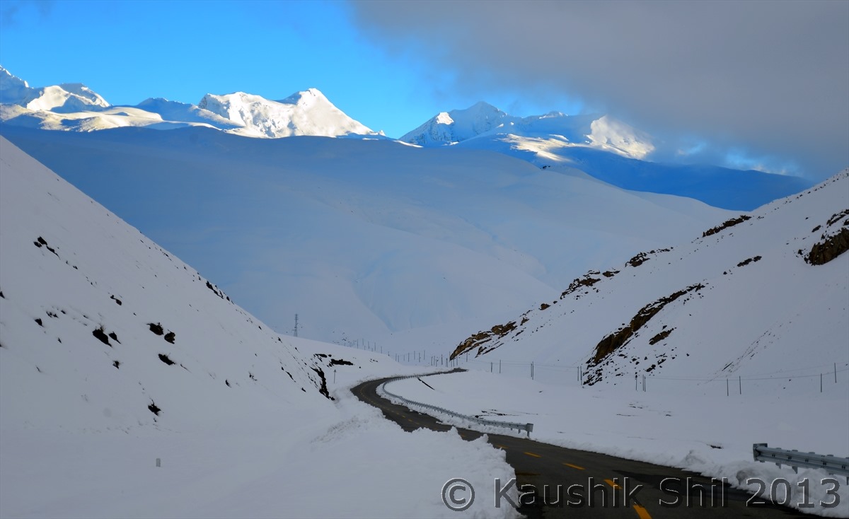
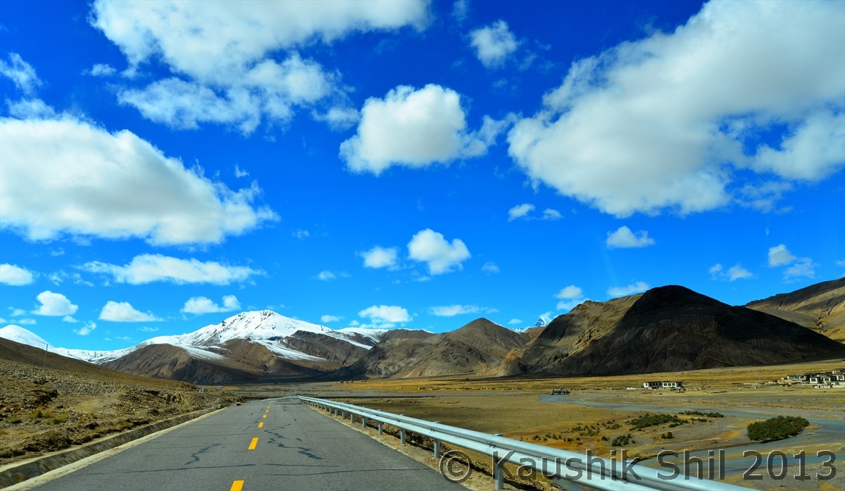
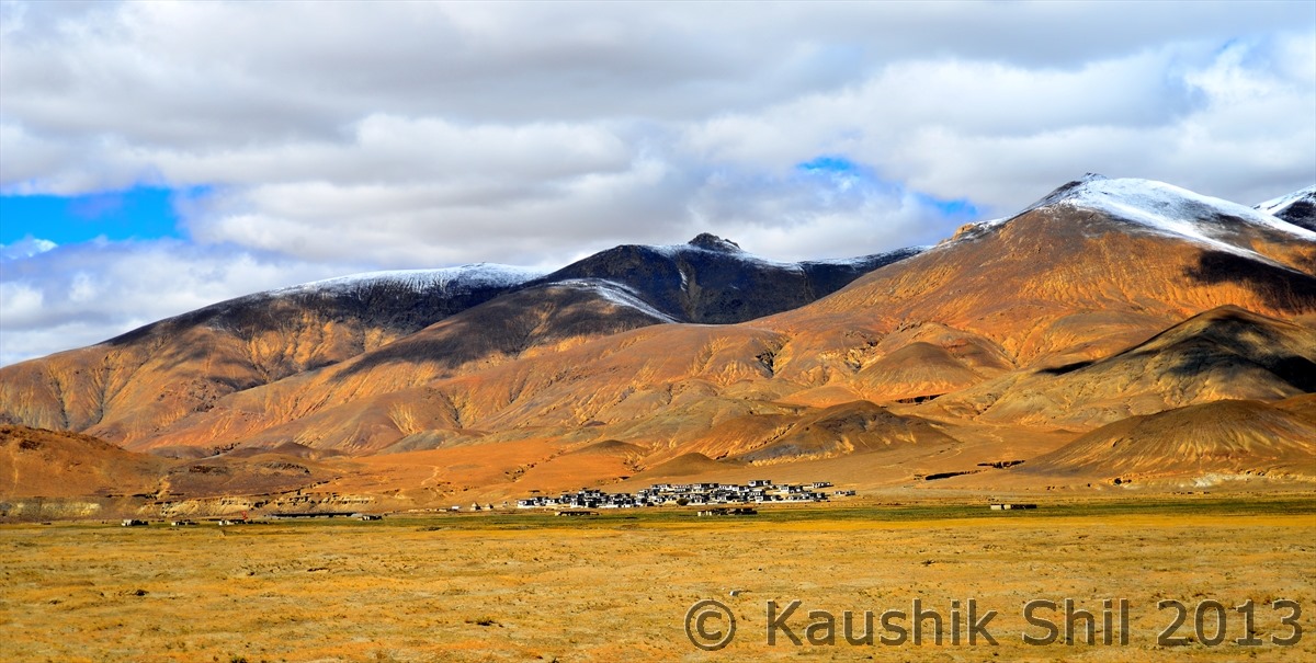
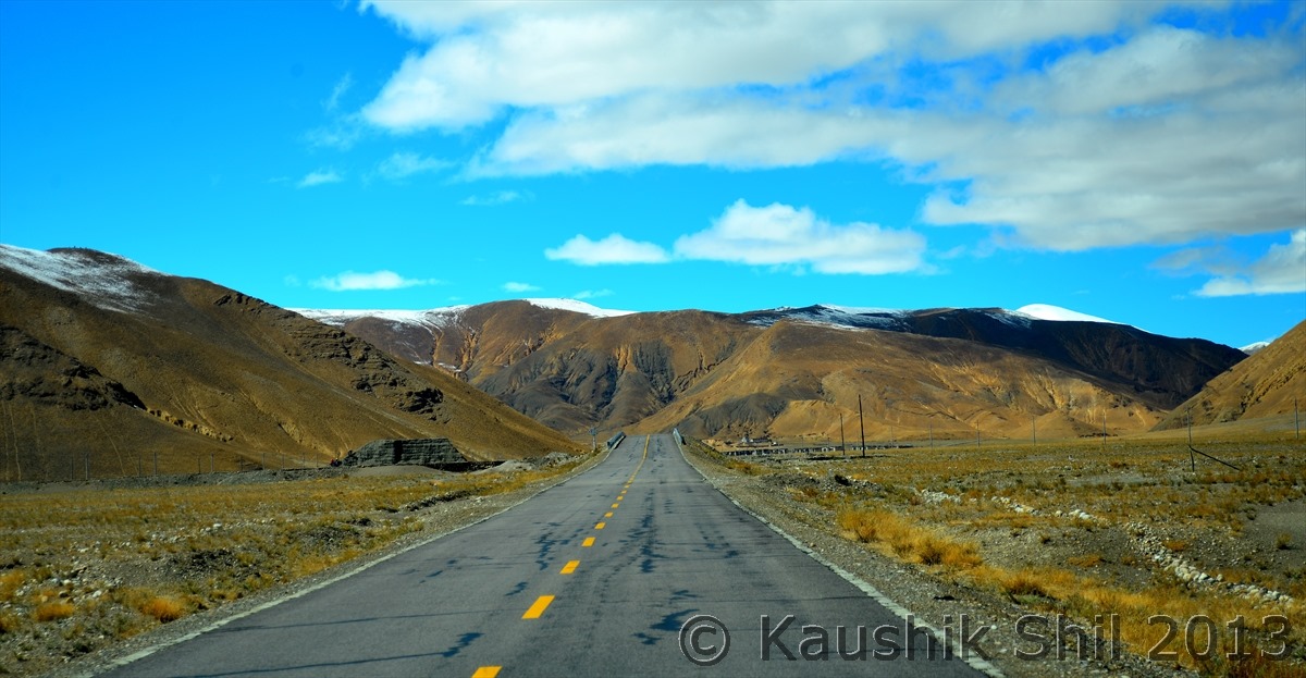
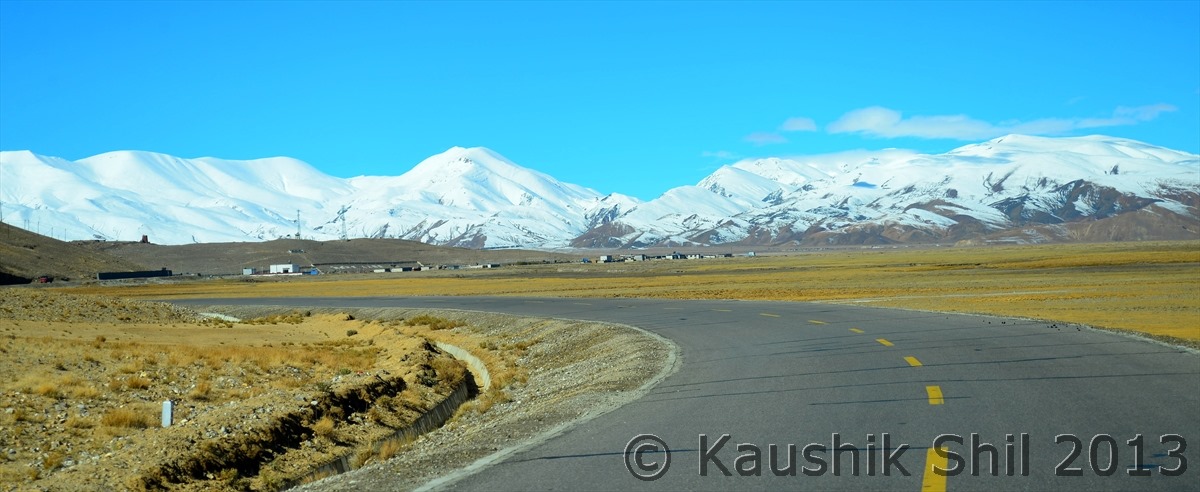
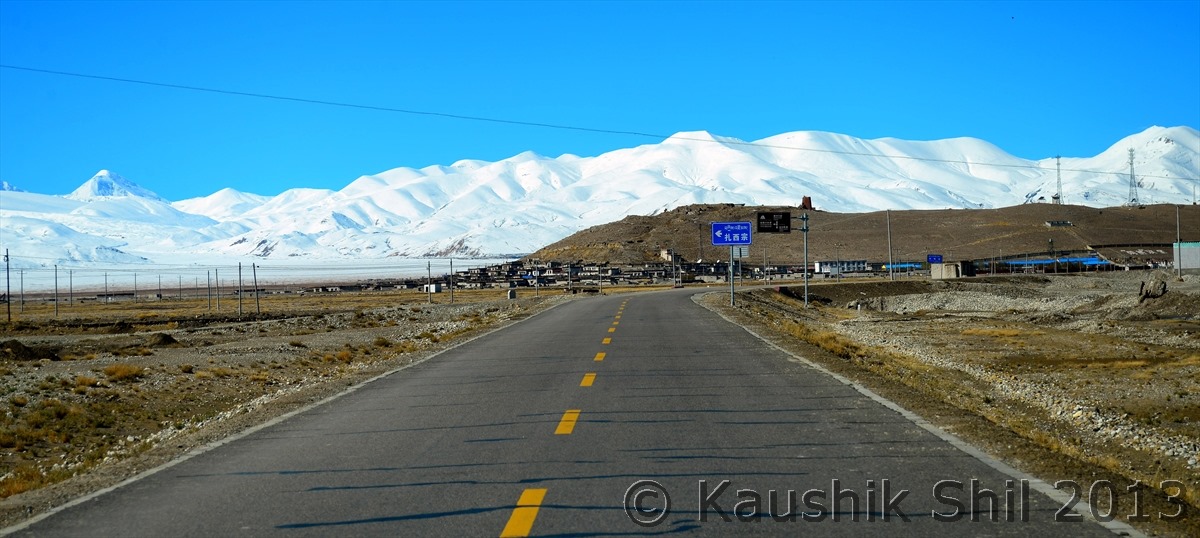
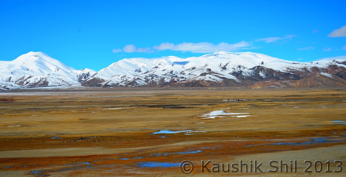
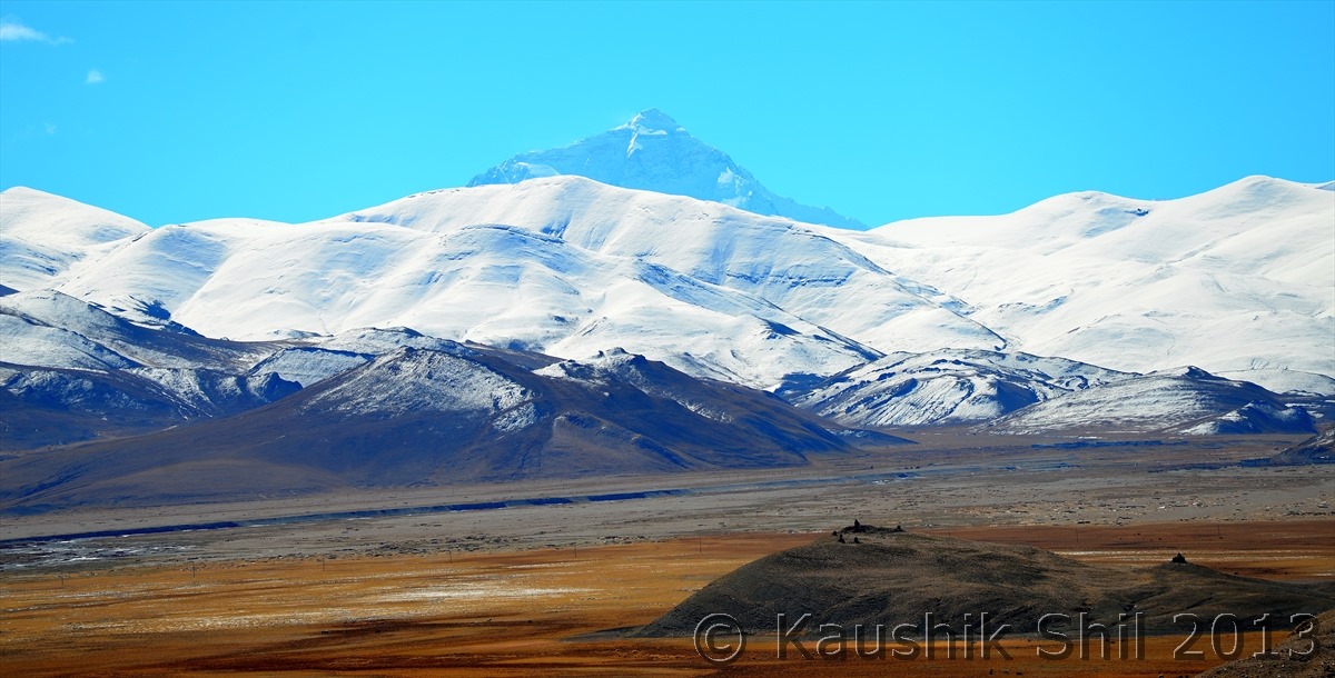
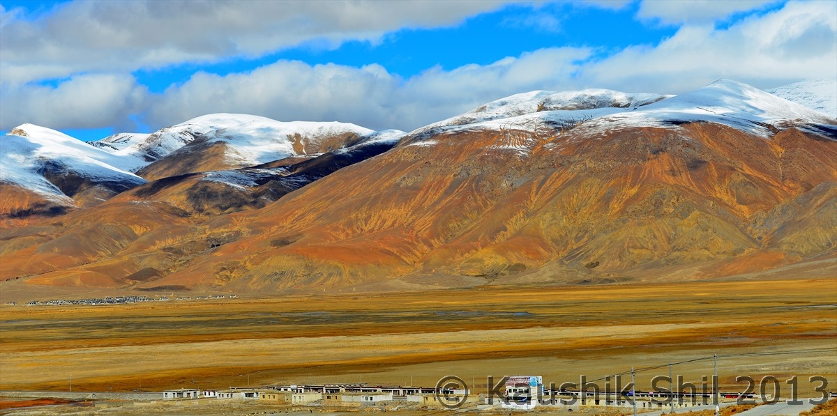
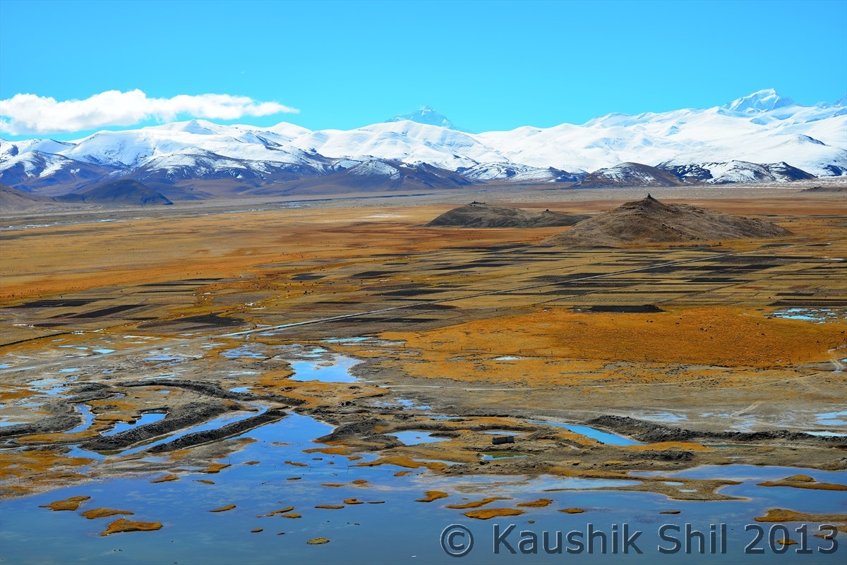
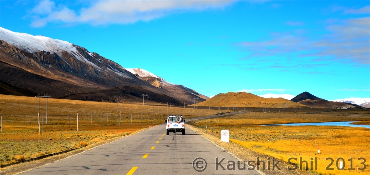
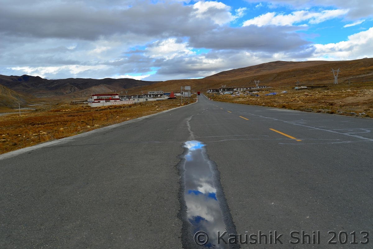
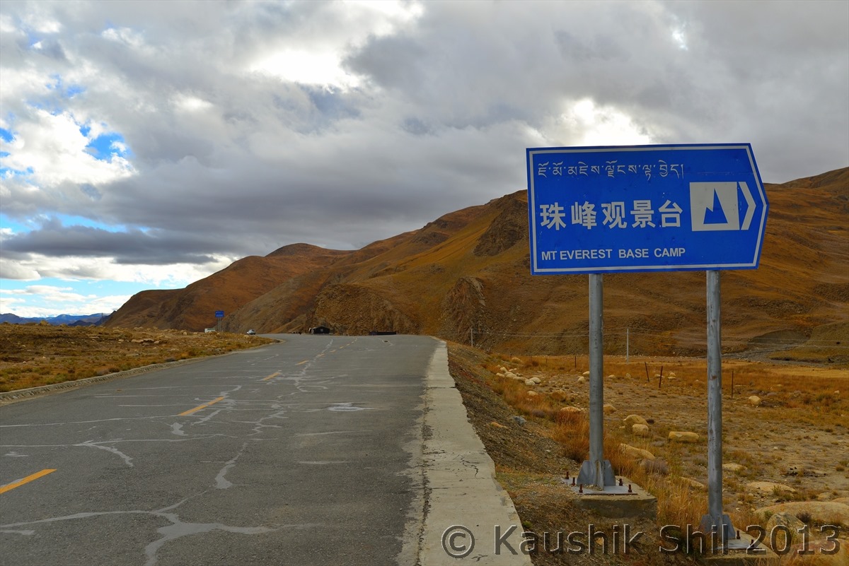
We started descending on the Southern side of Himalayas:

600_7471

600_7474


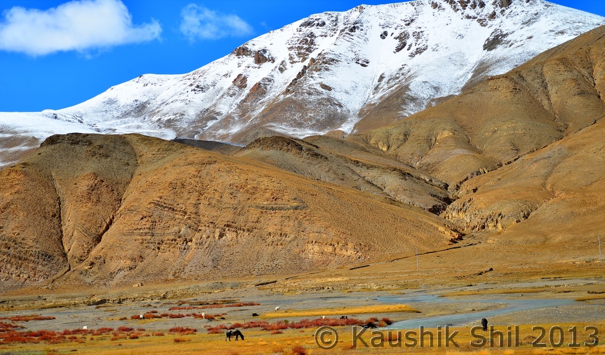
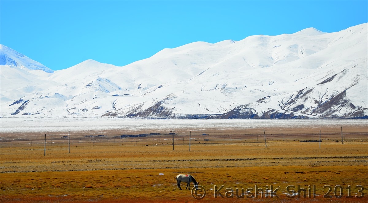
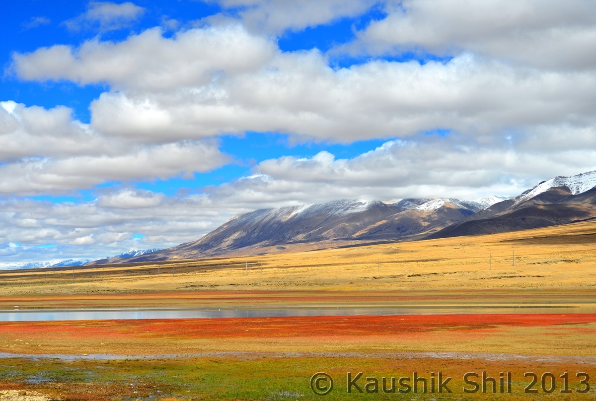
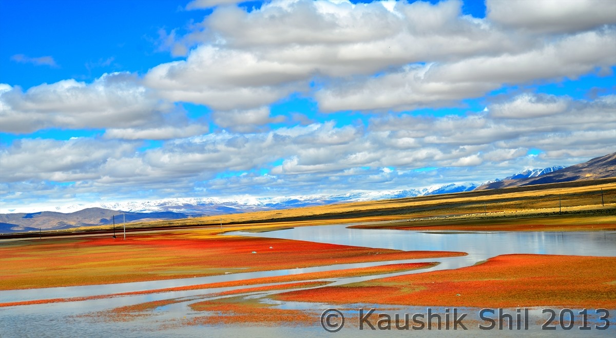
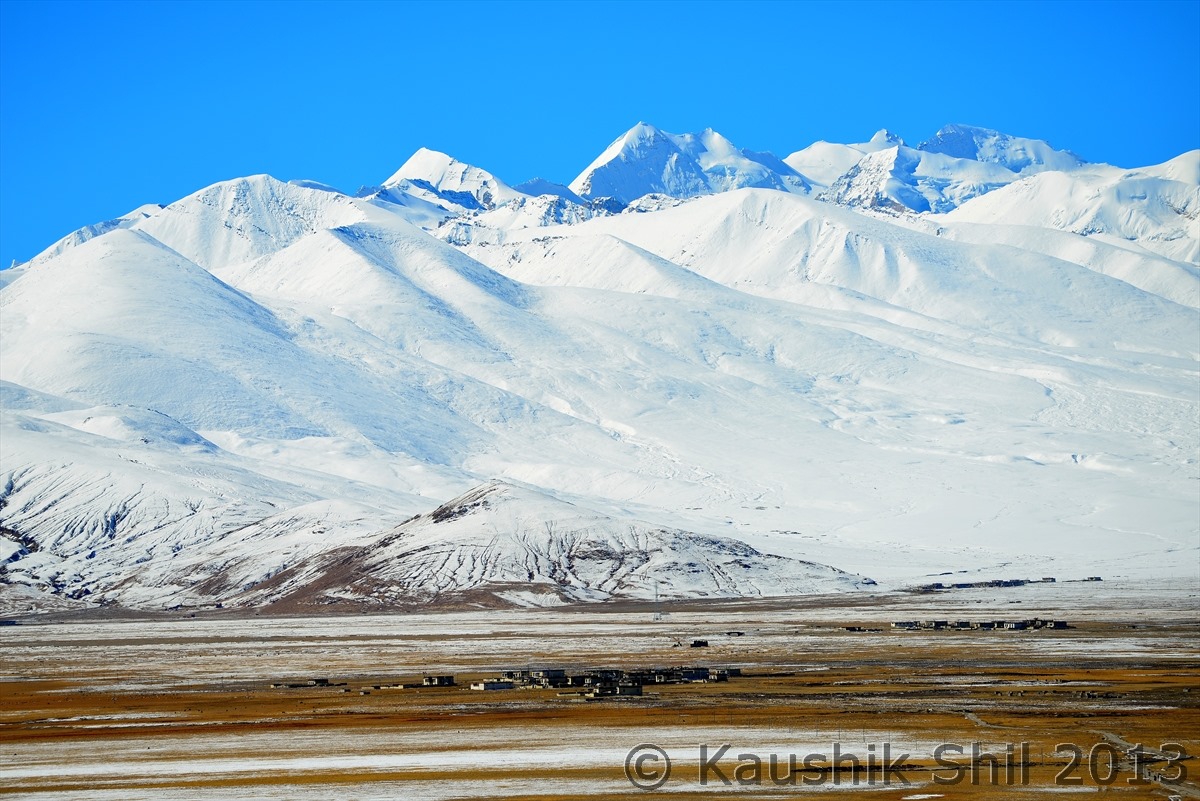
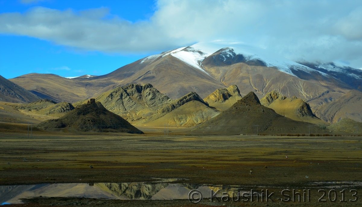
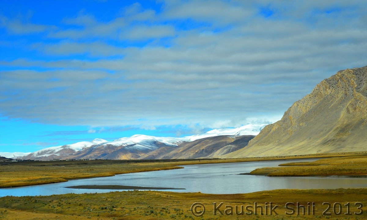
Now I know even in this life heaven can be experienced:

600_7485


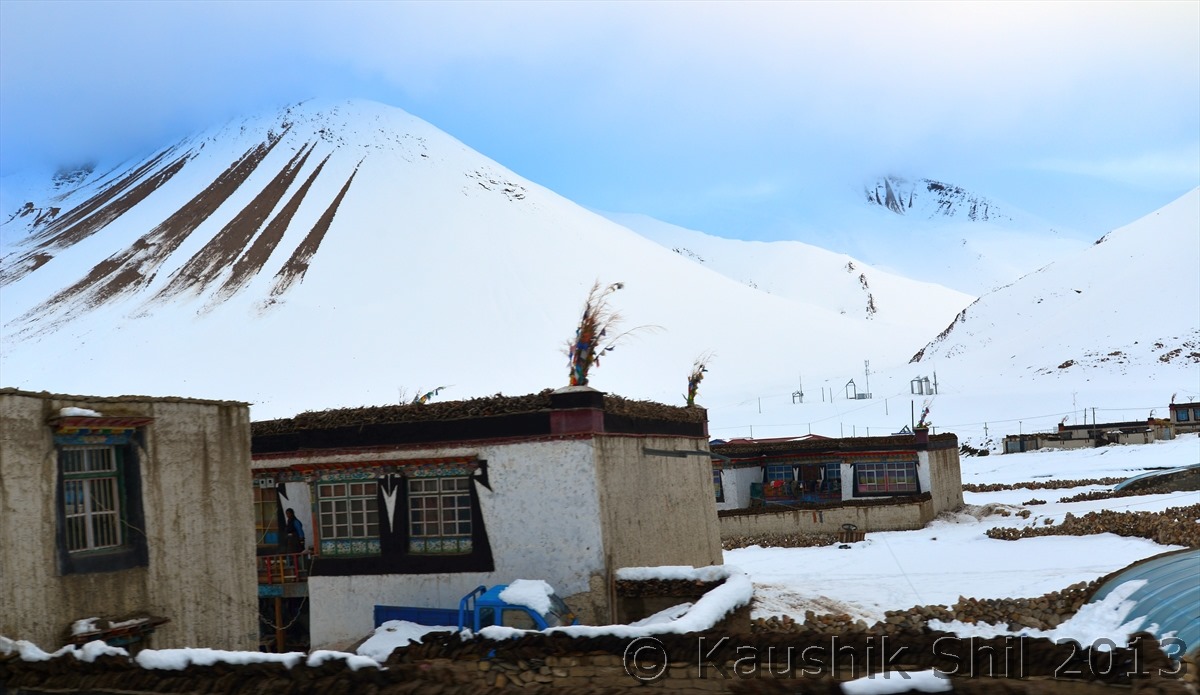
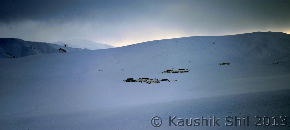
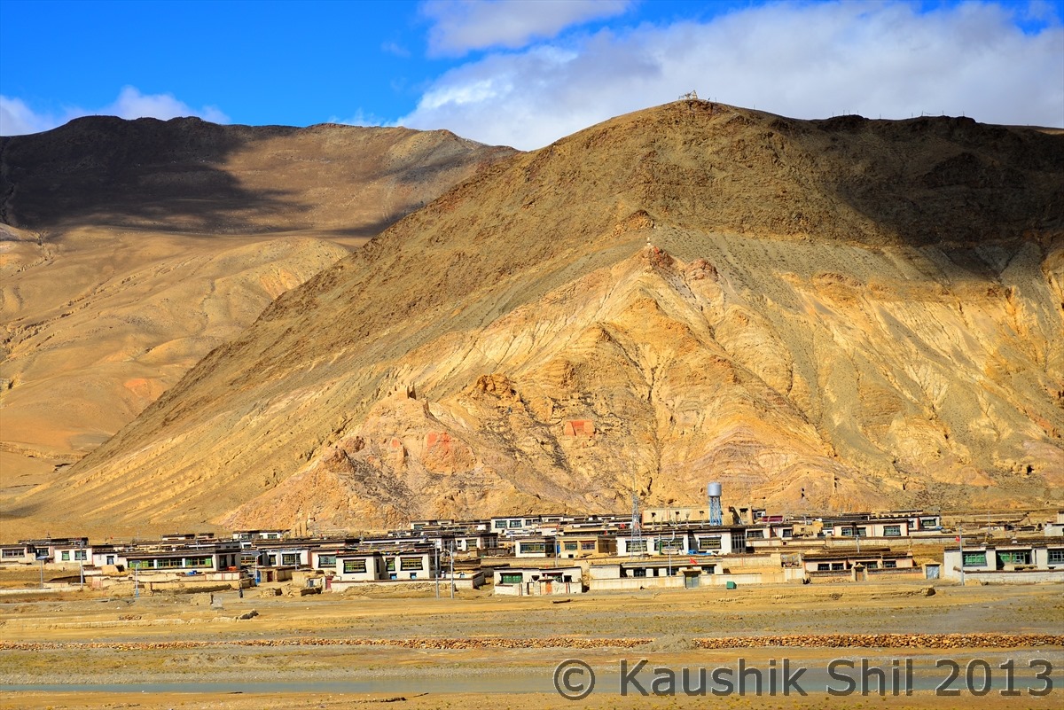
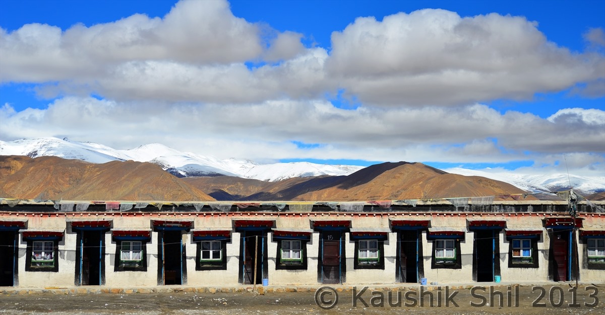
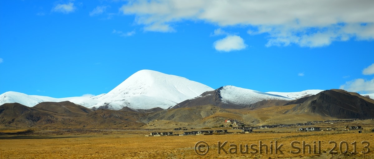
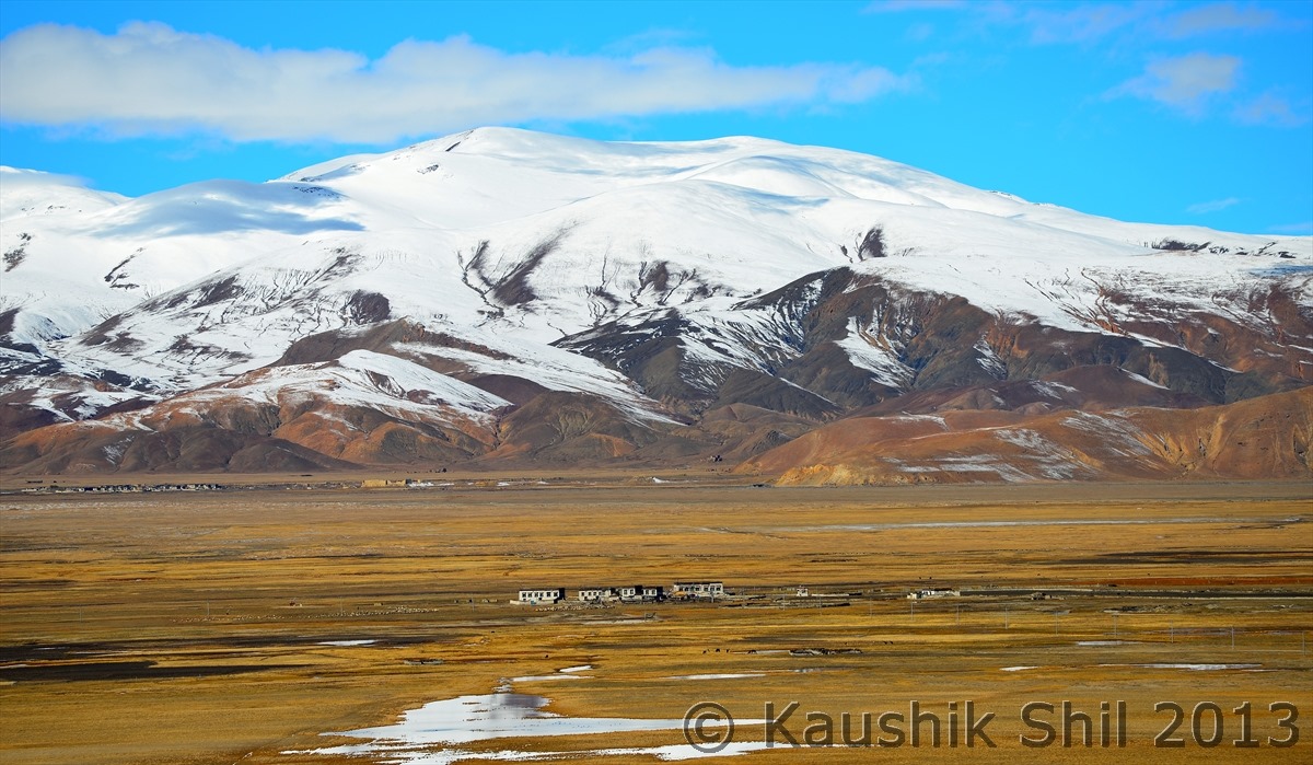
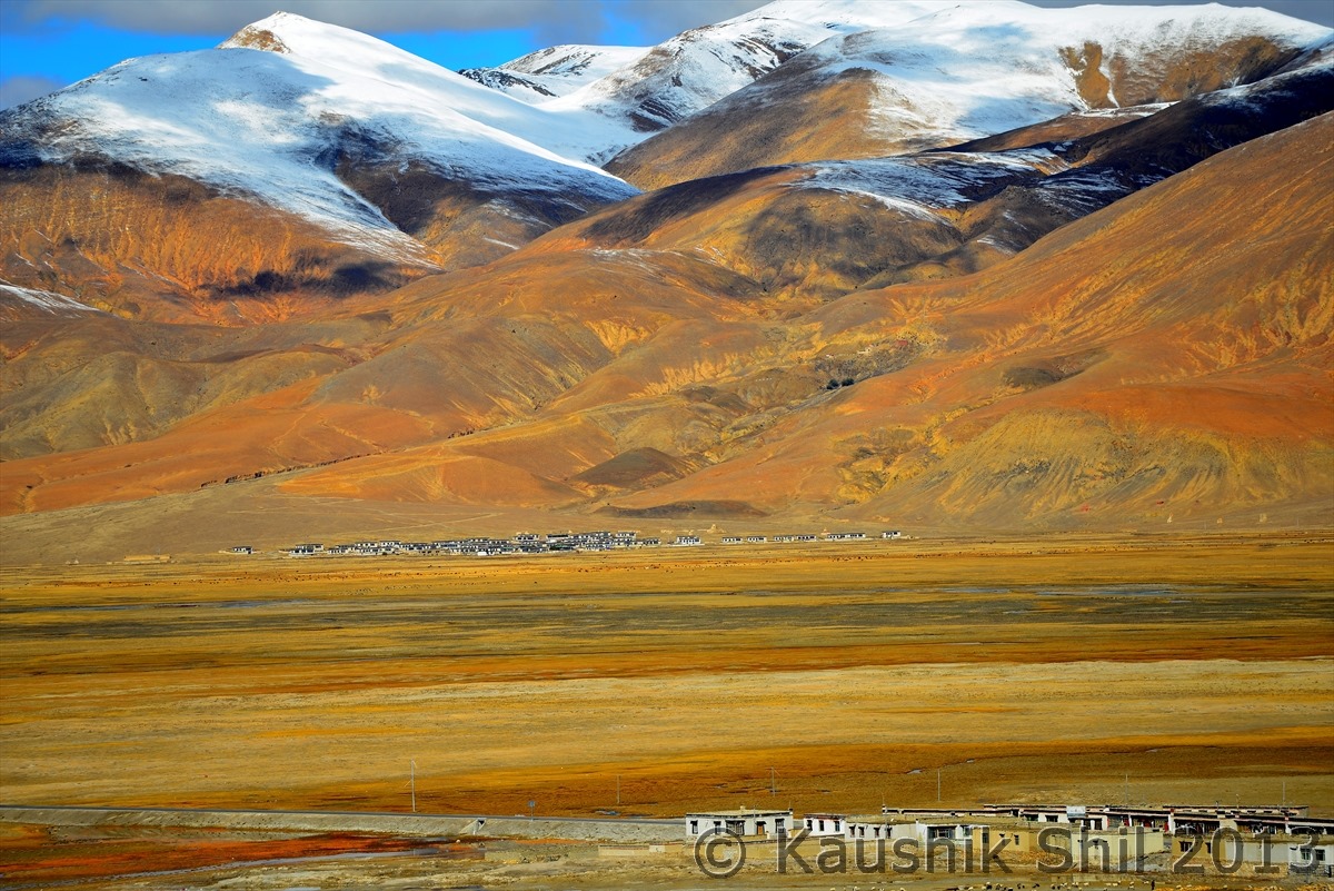
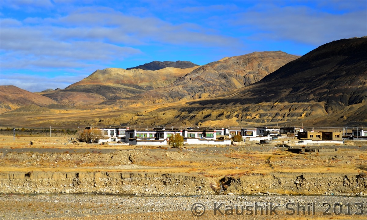
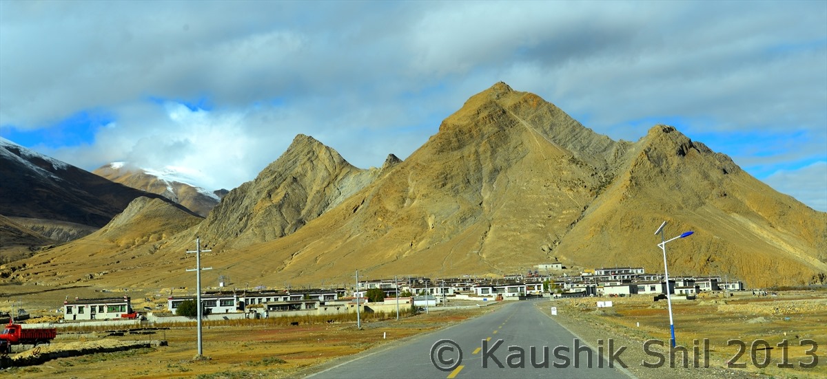
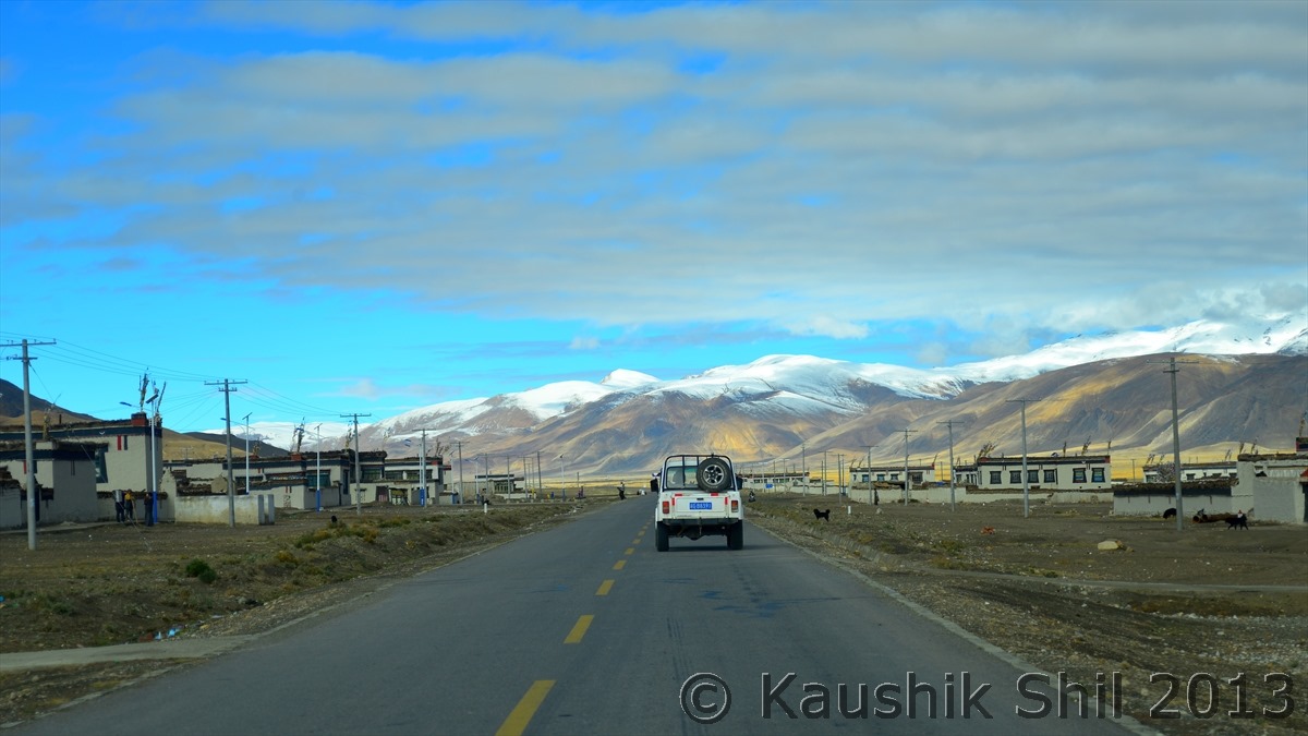
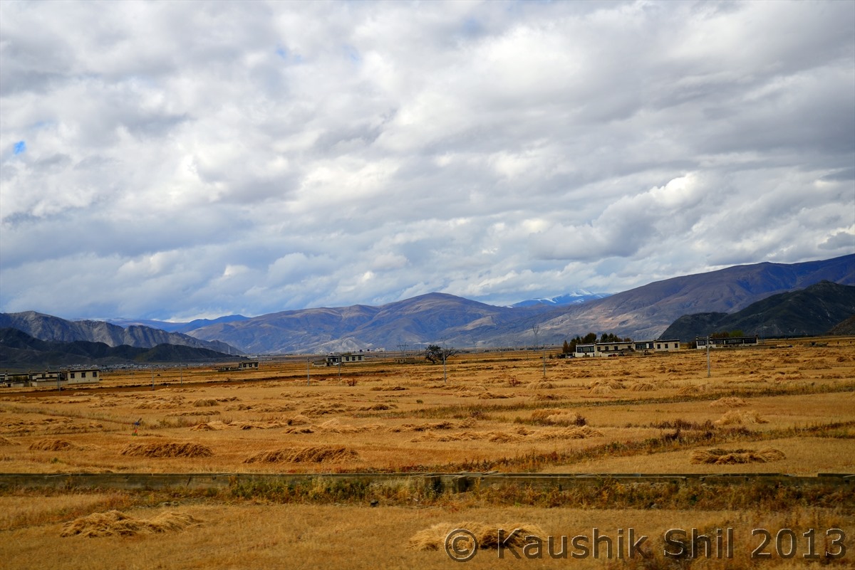
A Village on High Himalaya:

600_7491


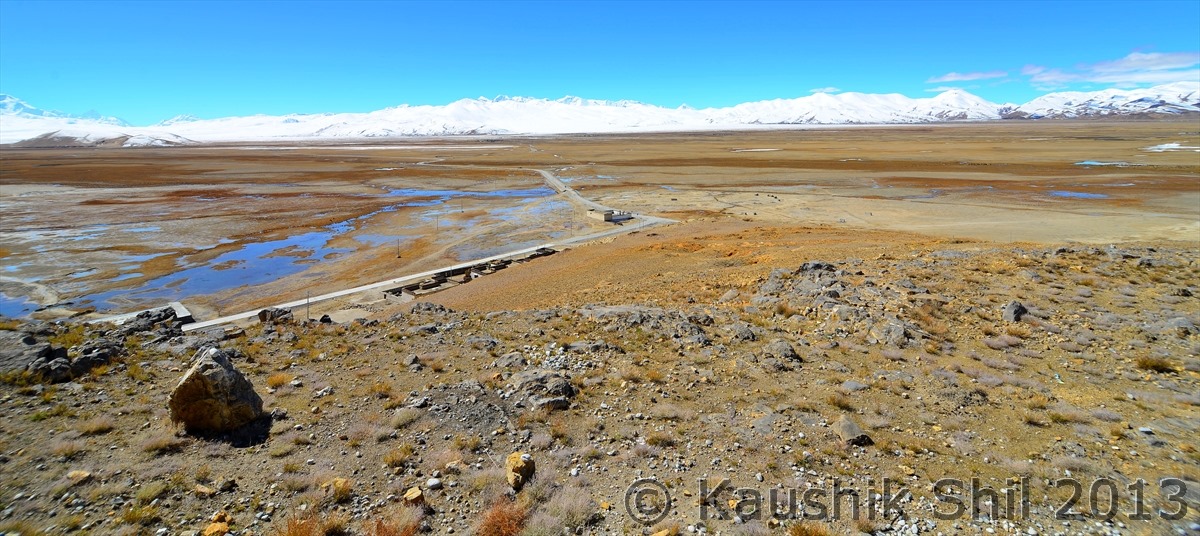
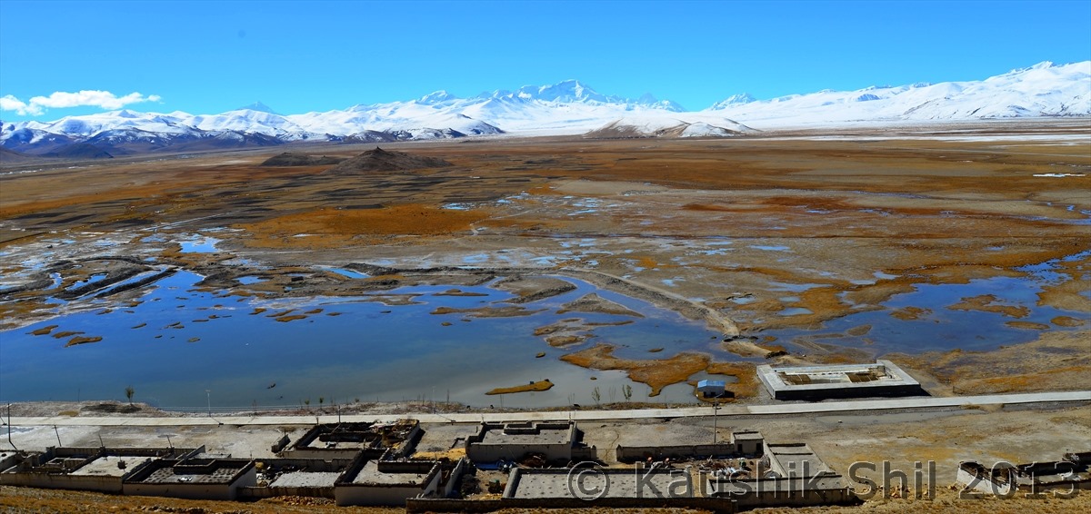
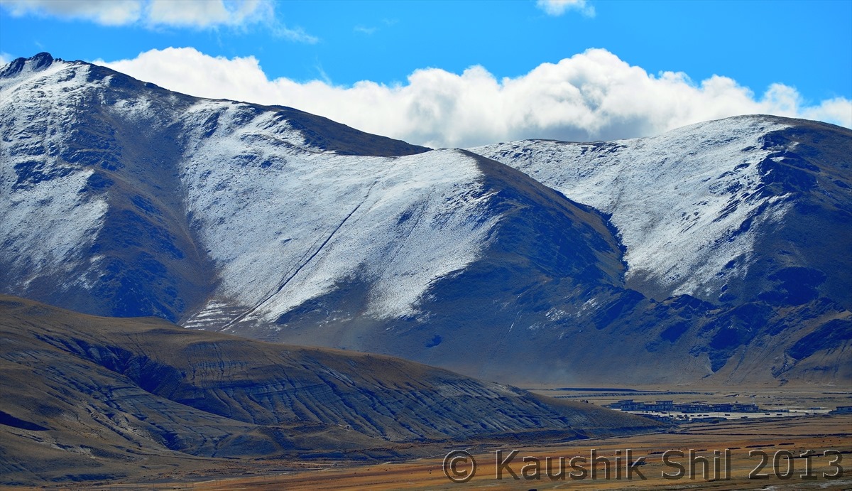
This just make me speechless, I couldn’t even believe my eyes:

600_7505


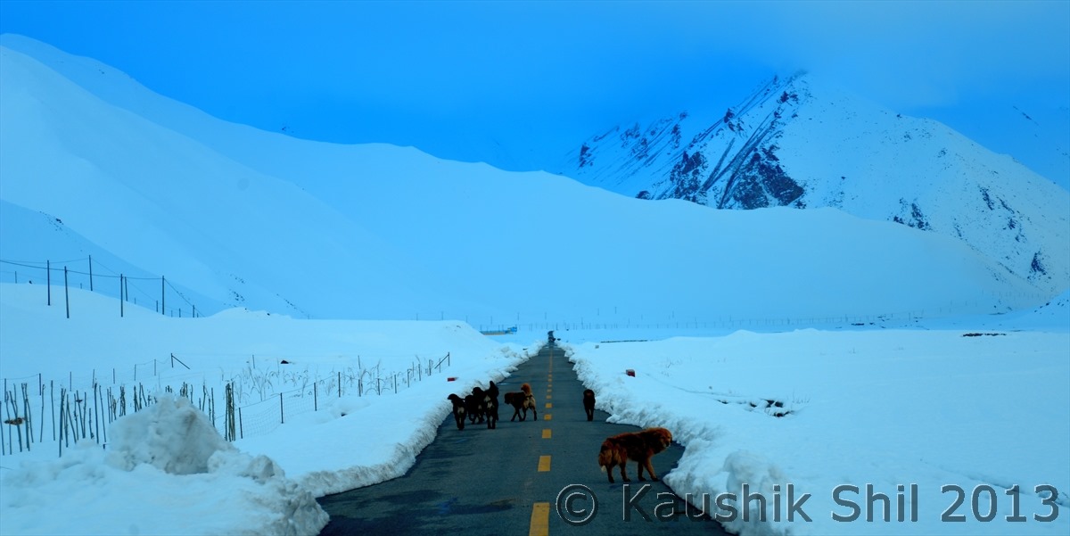
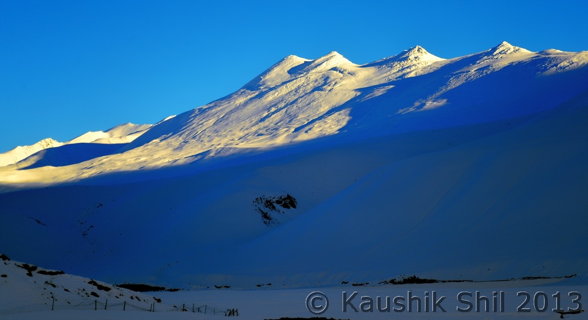
Tibetan dogs:

600_7506


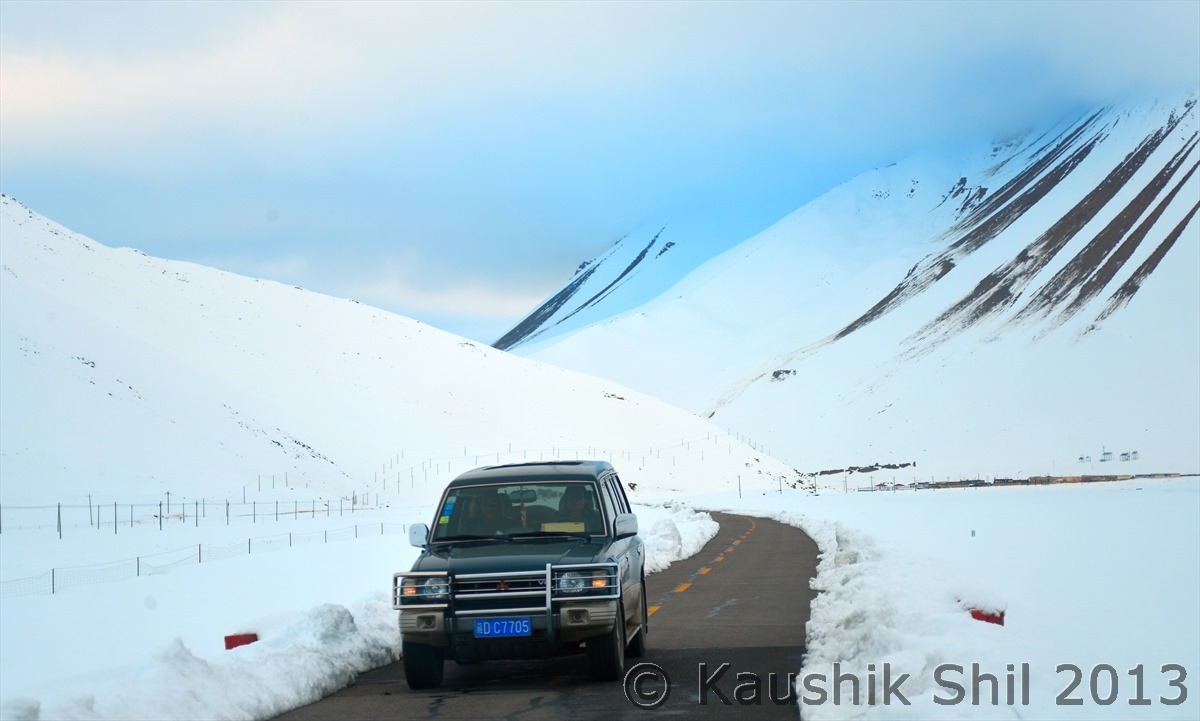
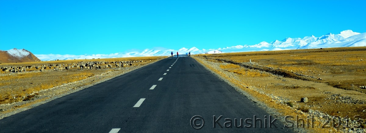
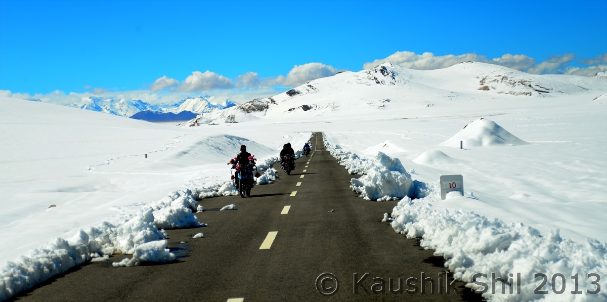
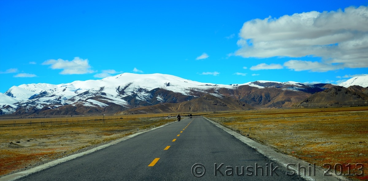
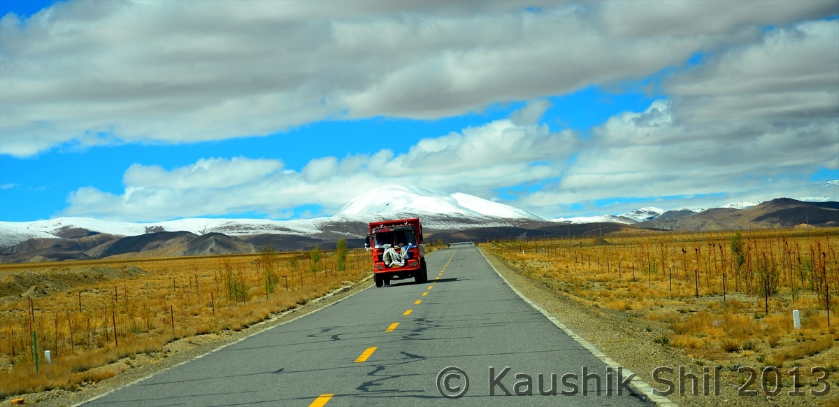
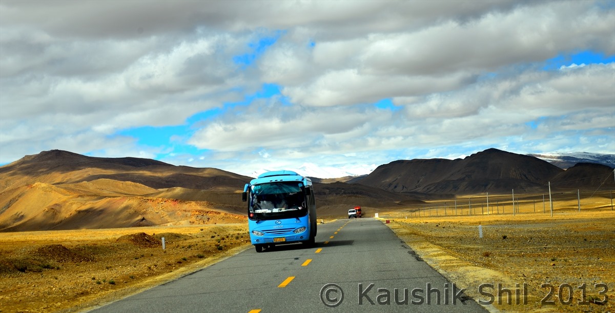
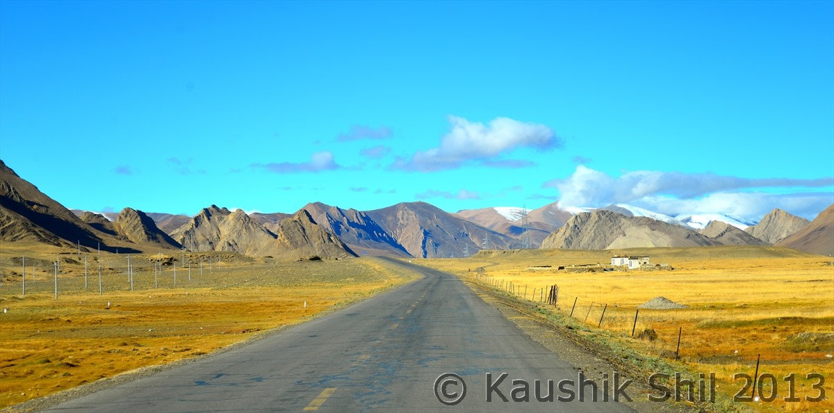
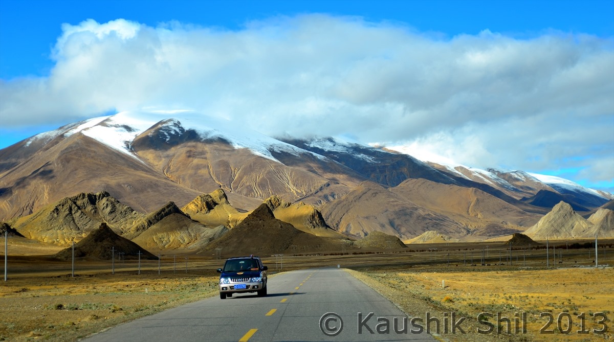
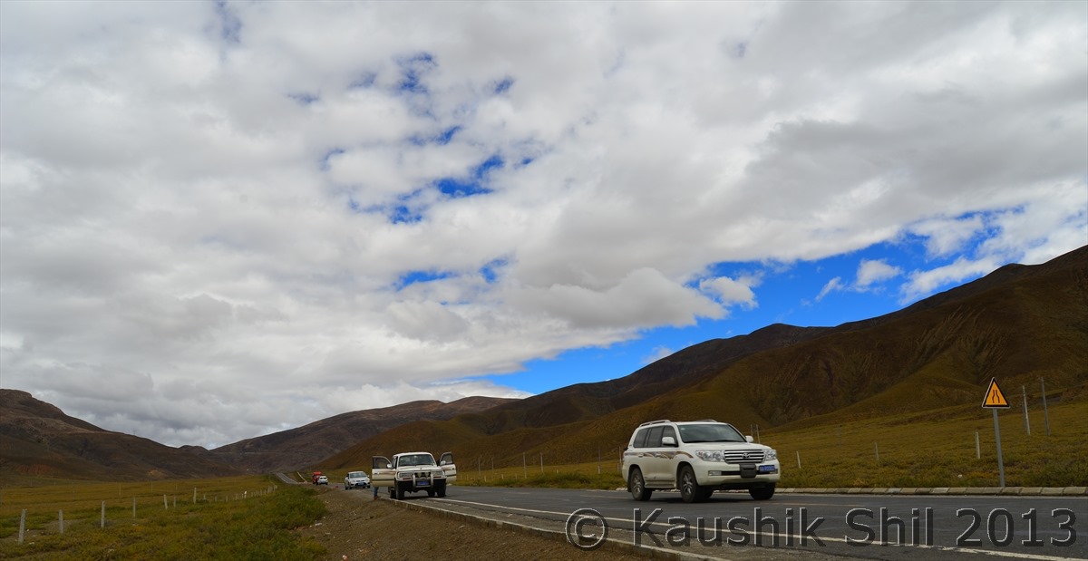
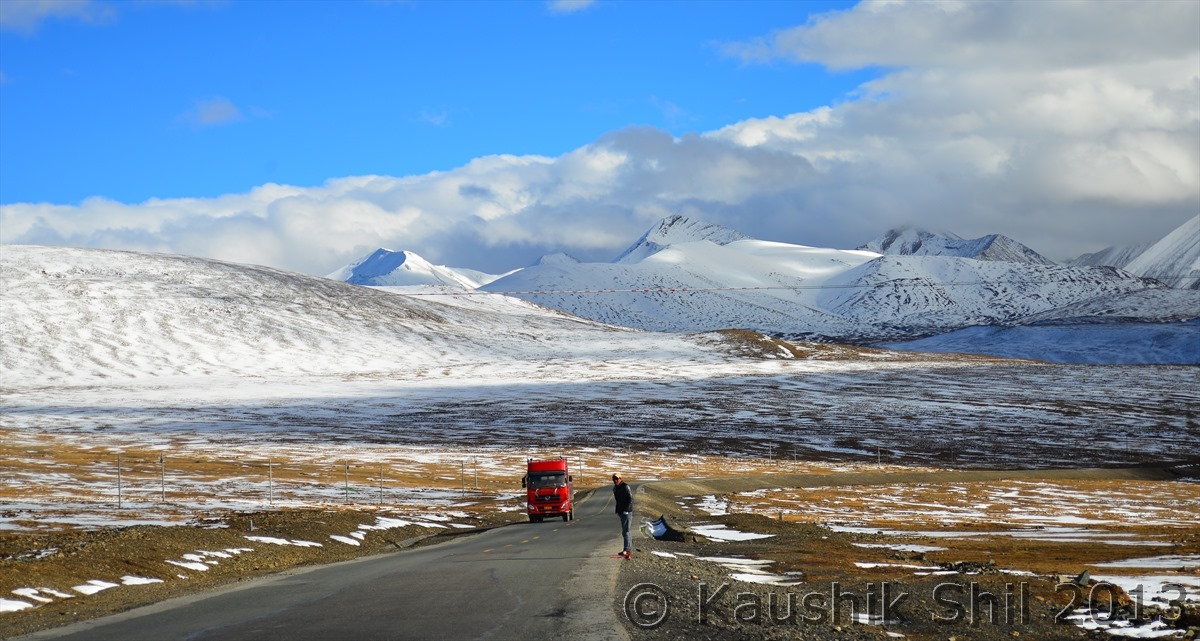
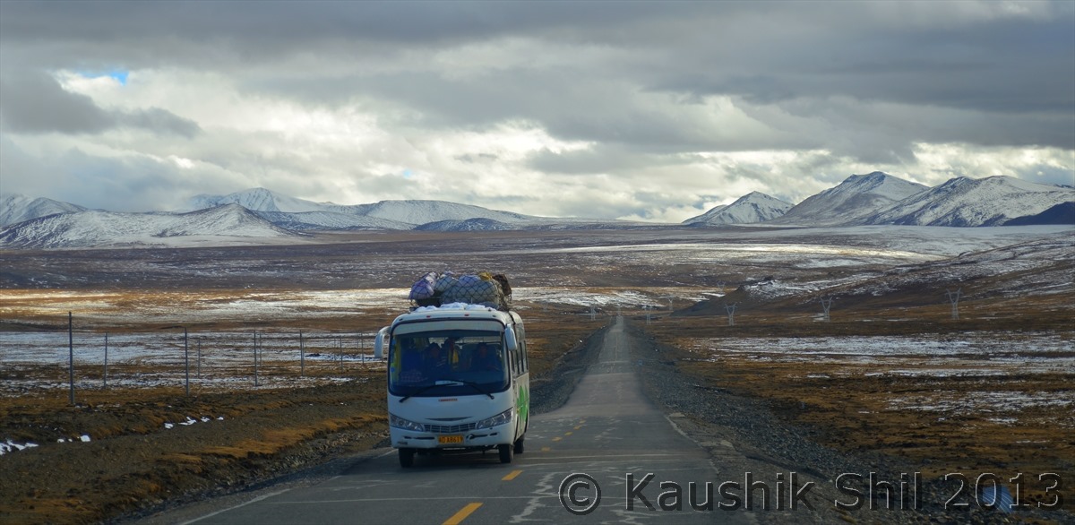
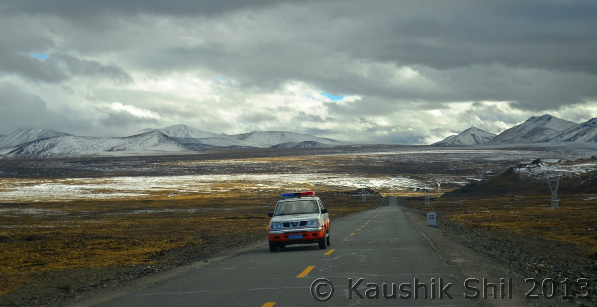
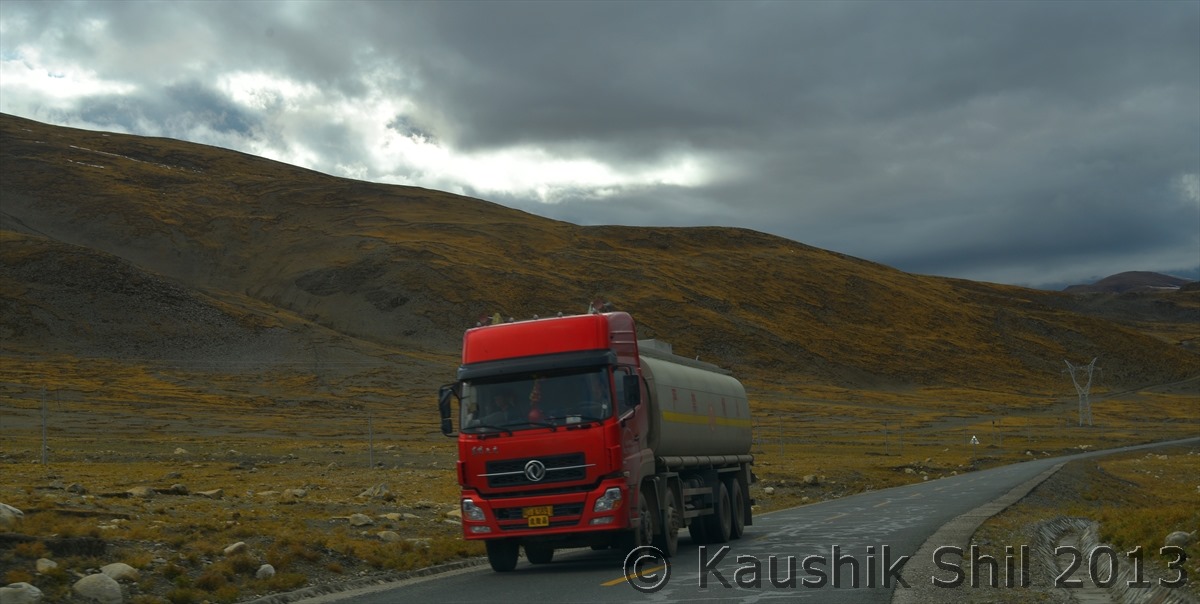
Rarely find some vehicle on the road:

600_7510


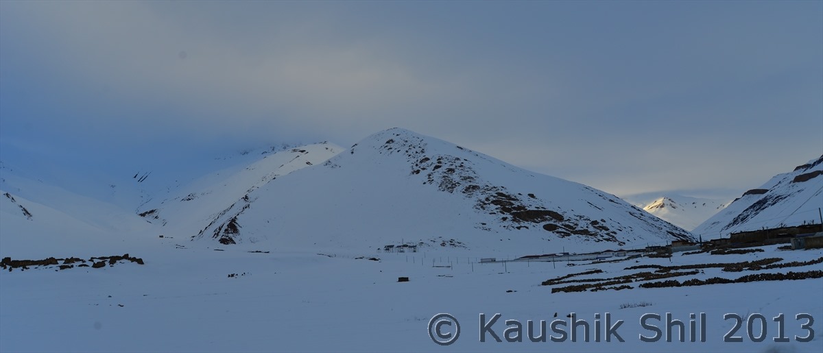
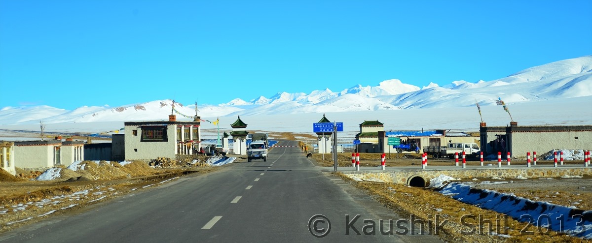
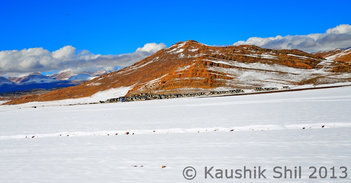
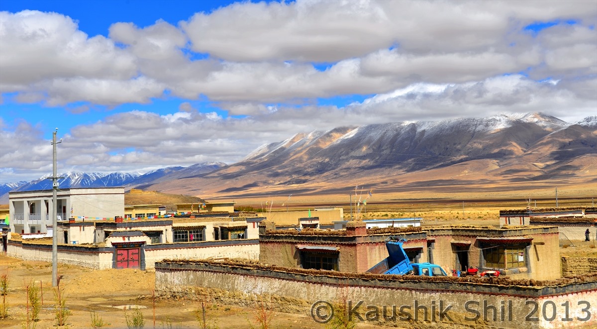
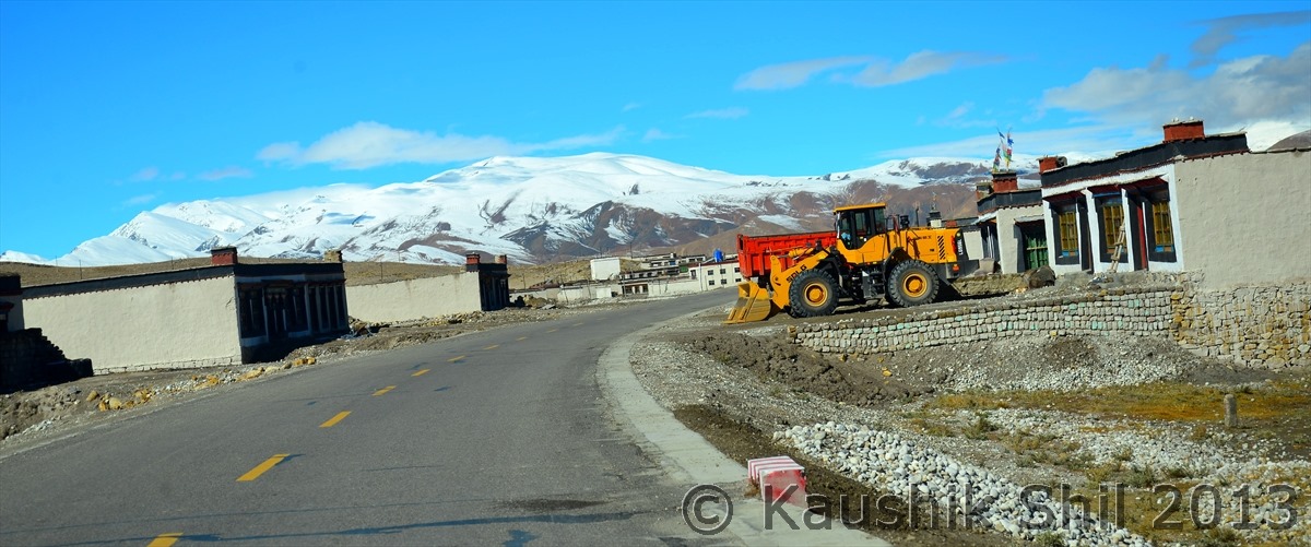
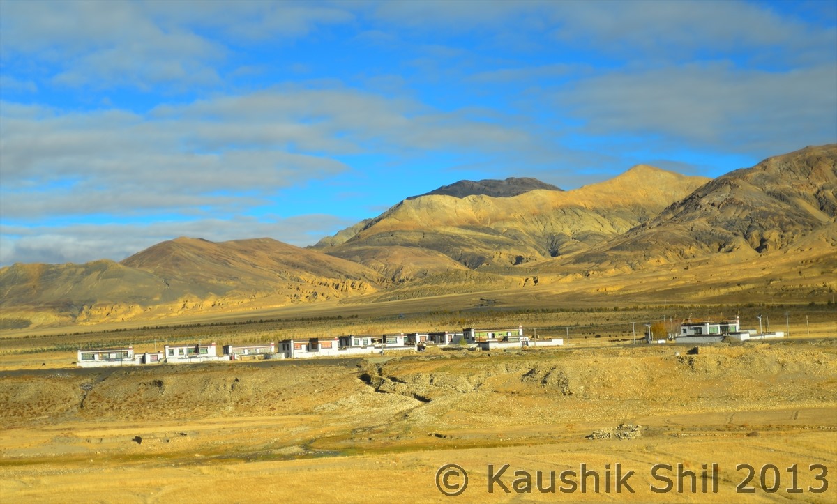
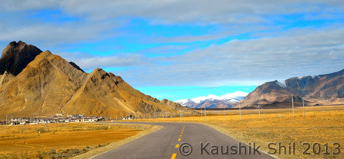
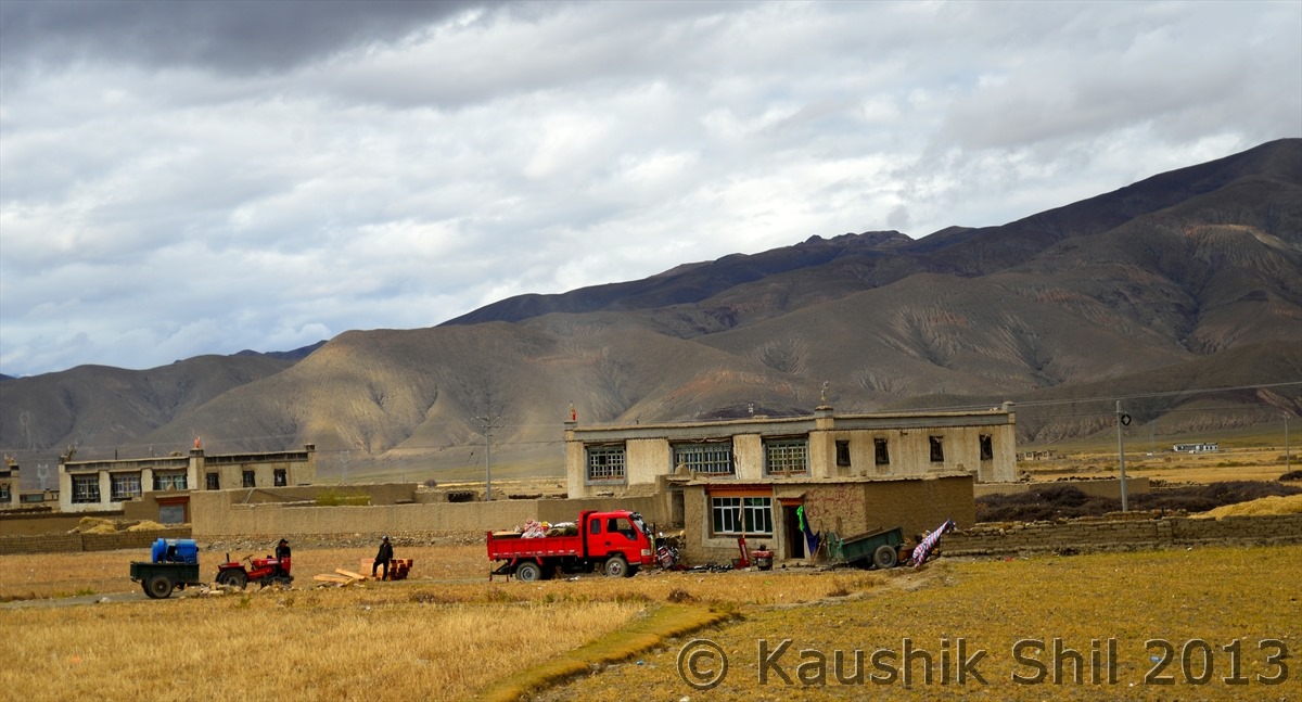
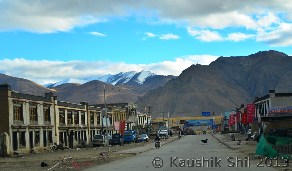
Another lovely Village:

600_7529


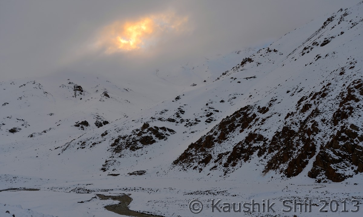
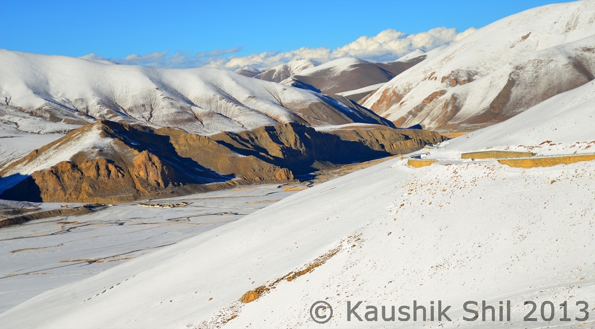
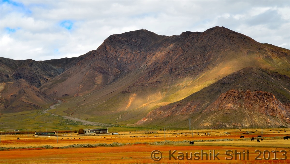
Isn’t that the melting gold from heaven blessing this wonder land?

600_7558


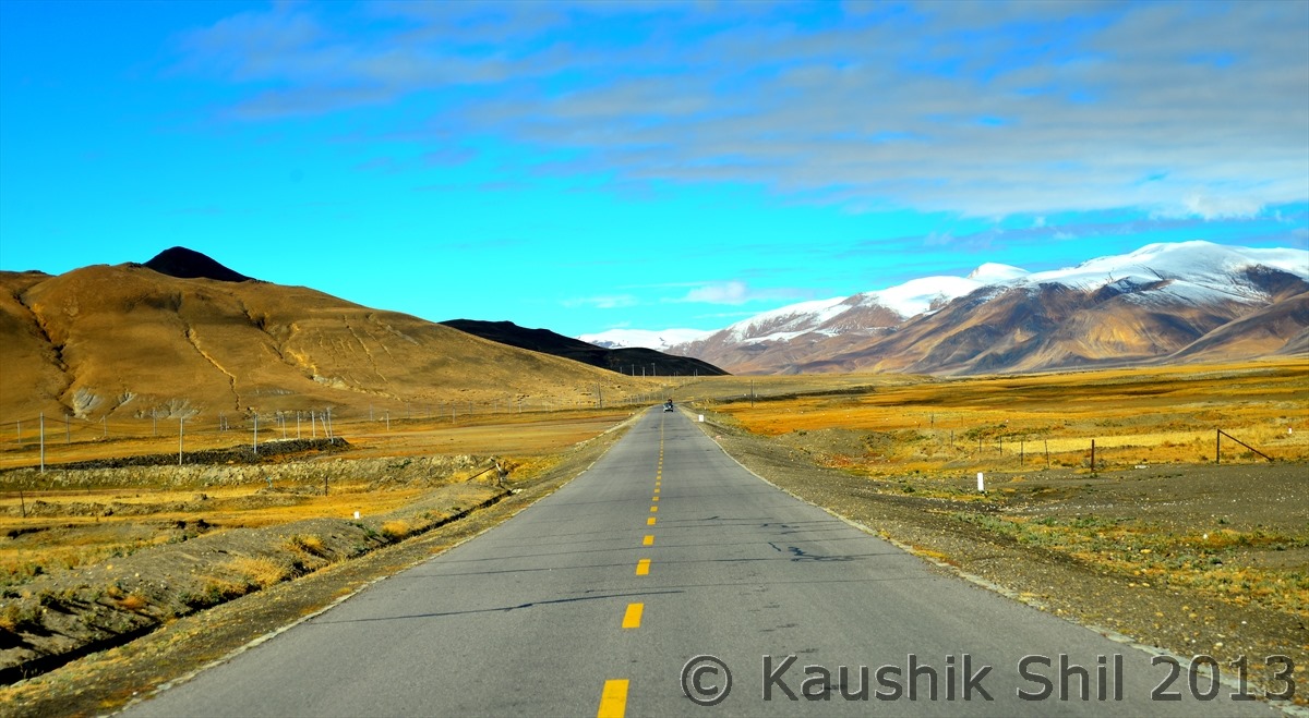
Anybody in game to drive that road:

600_7595


At last the descend starts:

600_7605


Now we are finally in the Southern side of mighty Himalayas:

600_7614


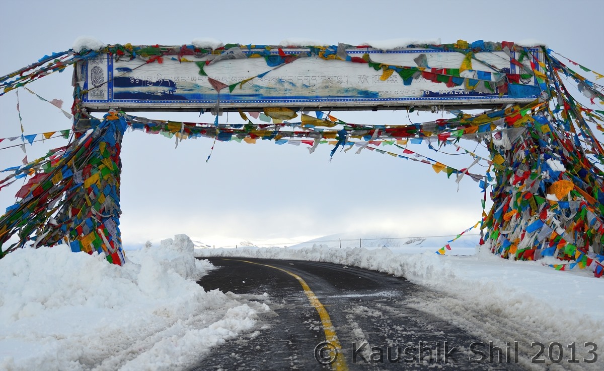
Nayalam, the town where Mansarovar pilgrims stay an additional day to acclimatize, still we are at 3750 meter

600_7619


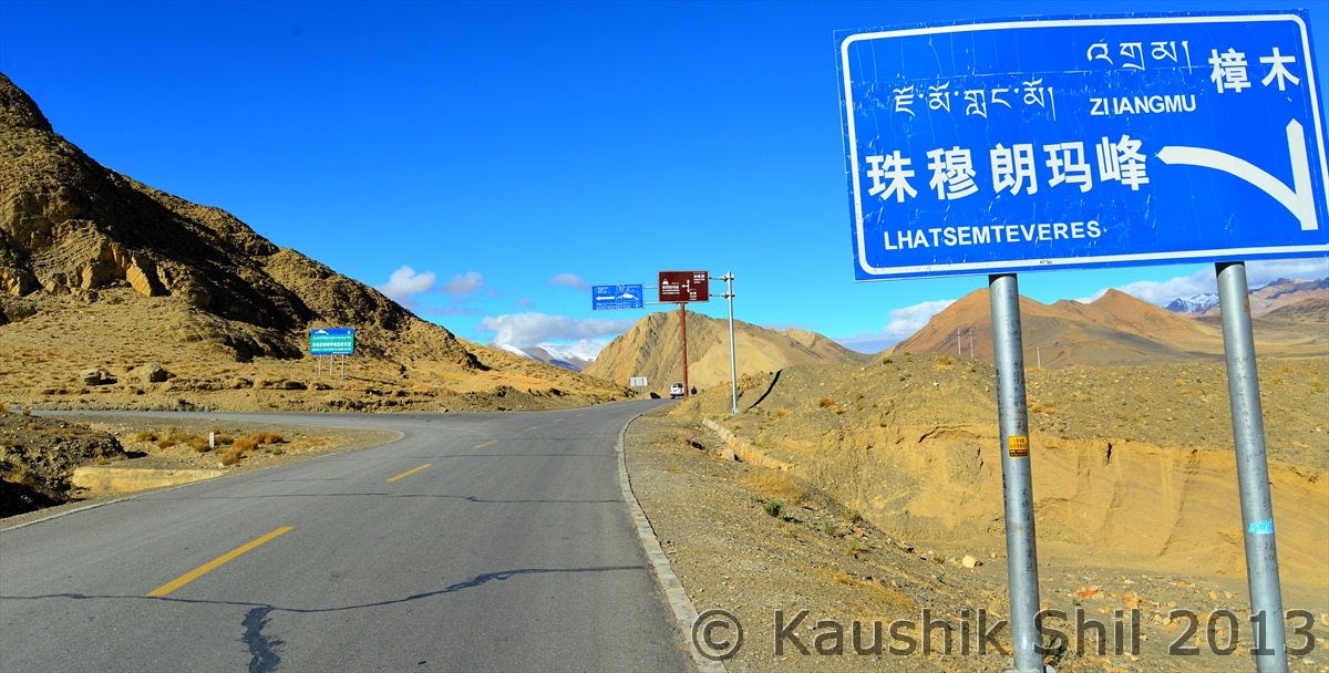
After 10 days first time we are at a height of less than 3500 meter, At Zhangmu (The border town in Tibet- Nepal border) finally at 2250 meter we are ending our amazing journey through Tibet, the green is back again

600_7635


Previous: Day 27/Part 6

Next: Day 28

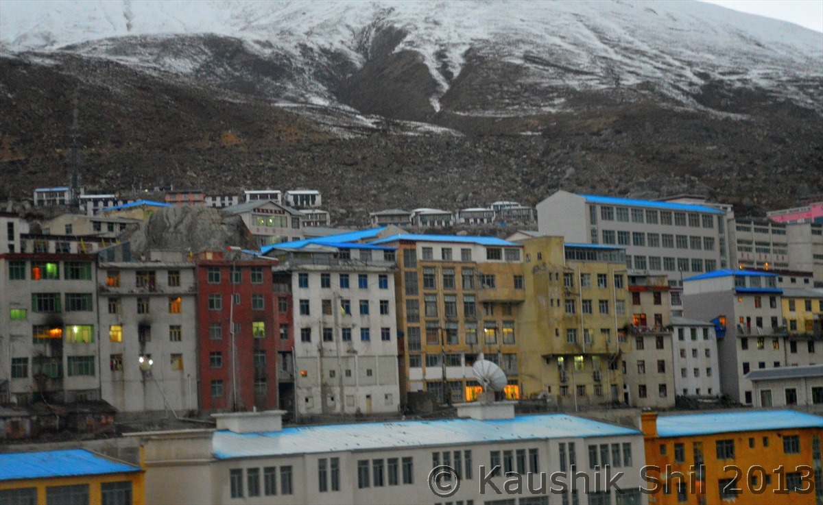
Xinjiang, China’s Central Asia and incredible Tibet – Day 27/Part 6


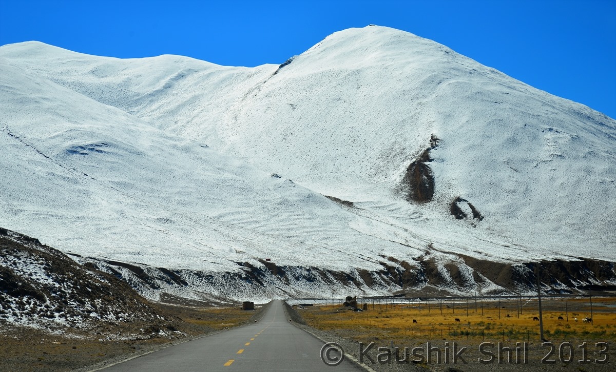
Now start ascending for final push to Thong La, Can you see the road below that’s going to Mansarovar:

600_7272


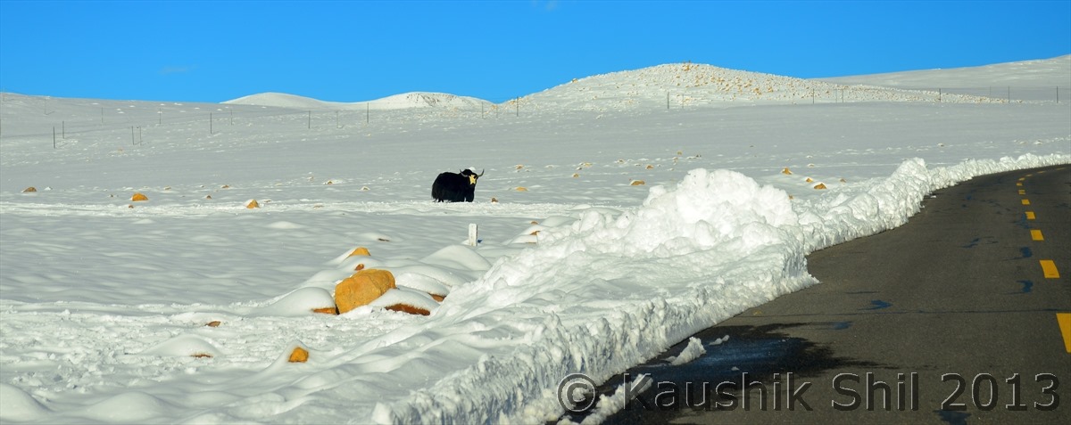
Lone Yak standing in snow land:

600_7277


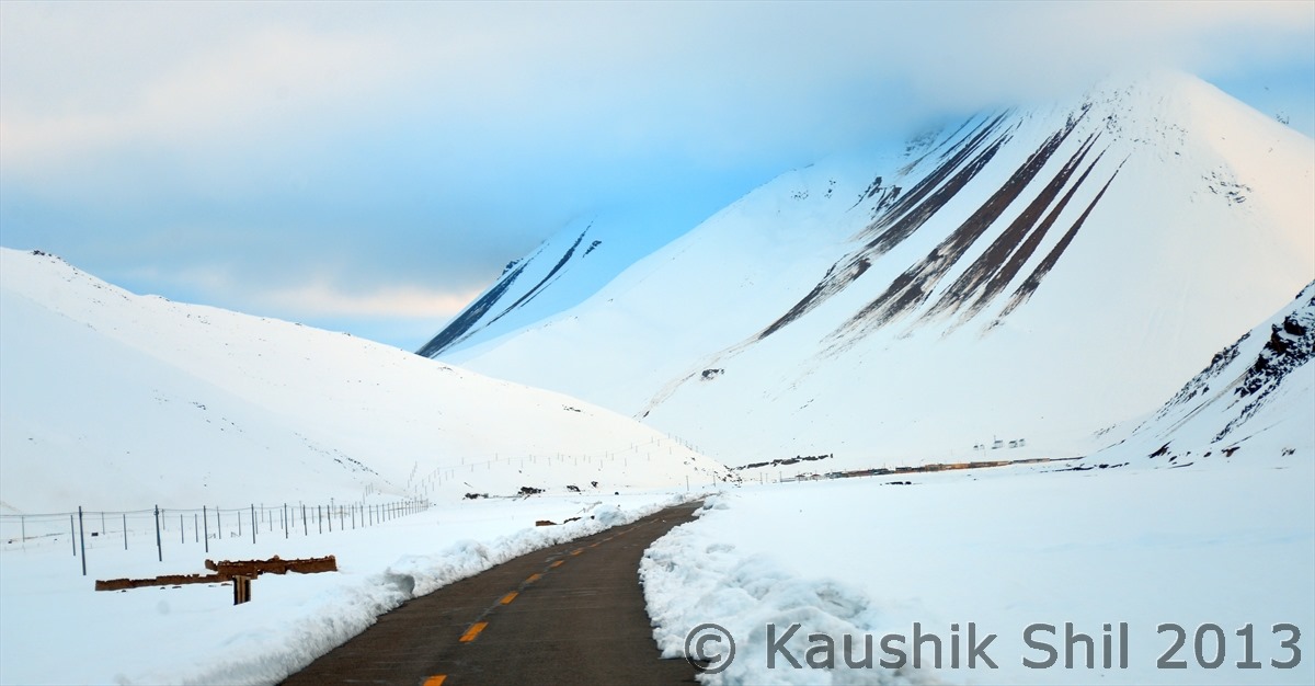
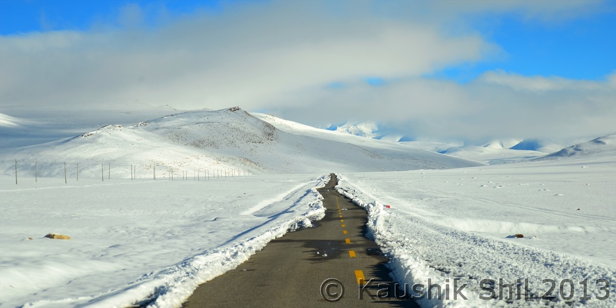
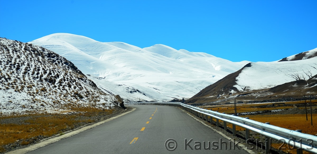
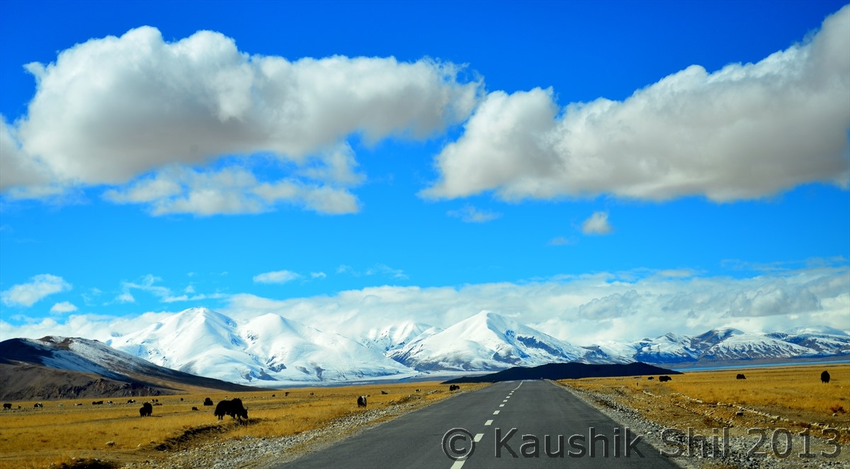
The road leading to heaven:

600_7280


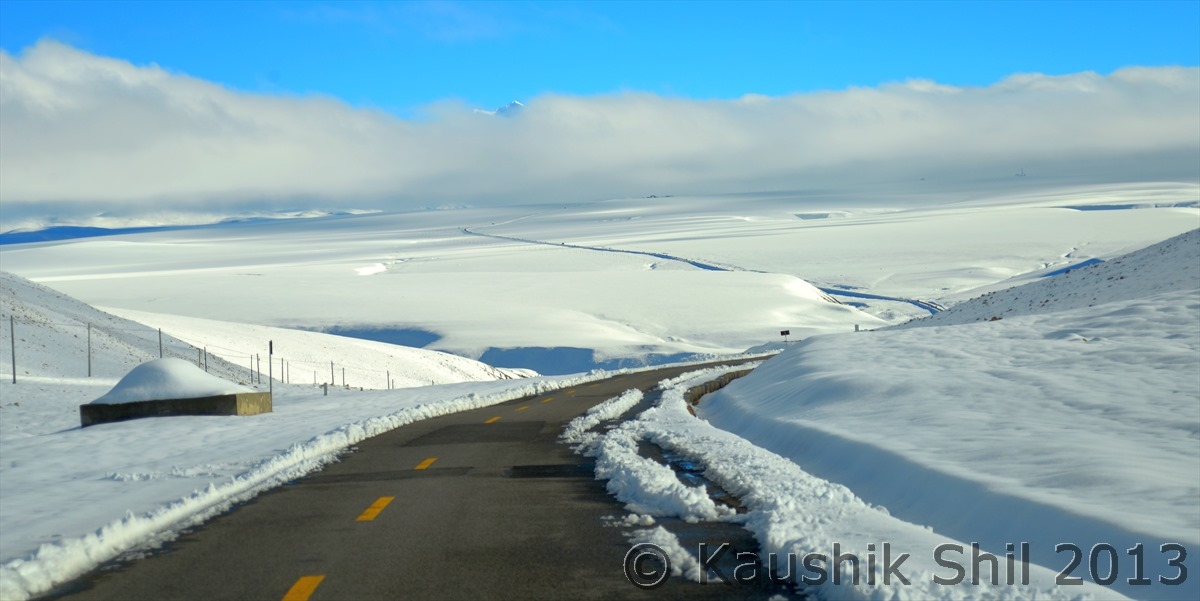
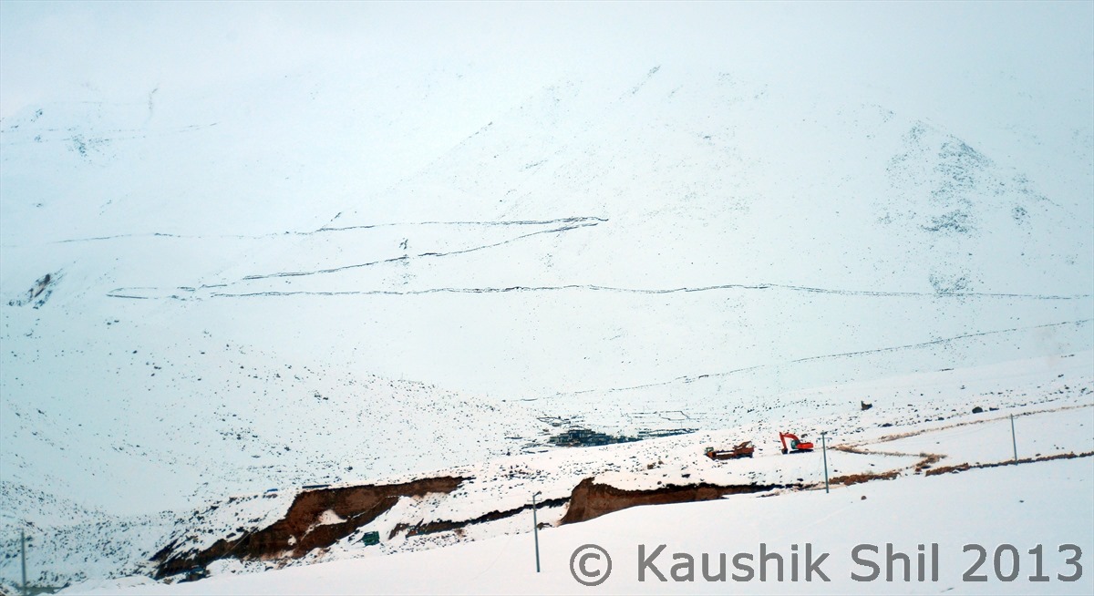
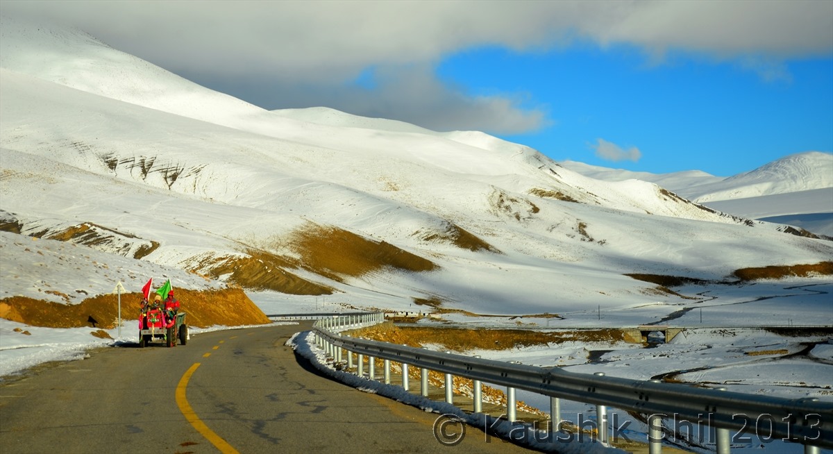
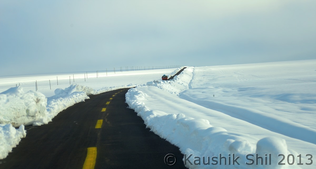
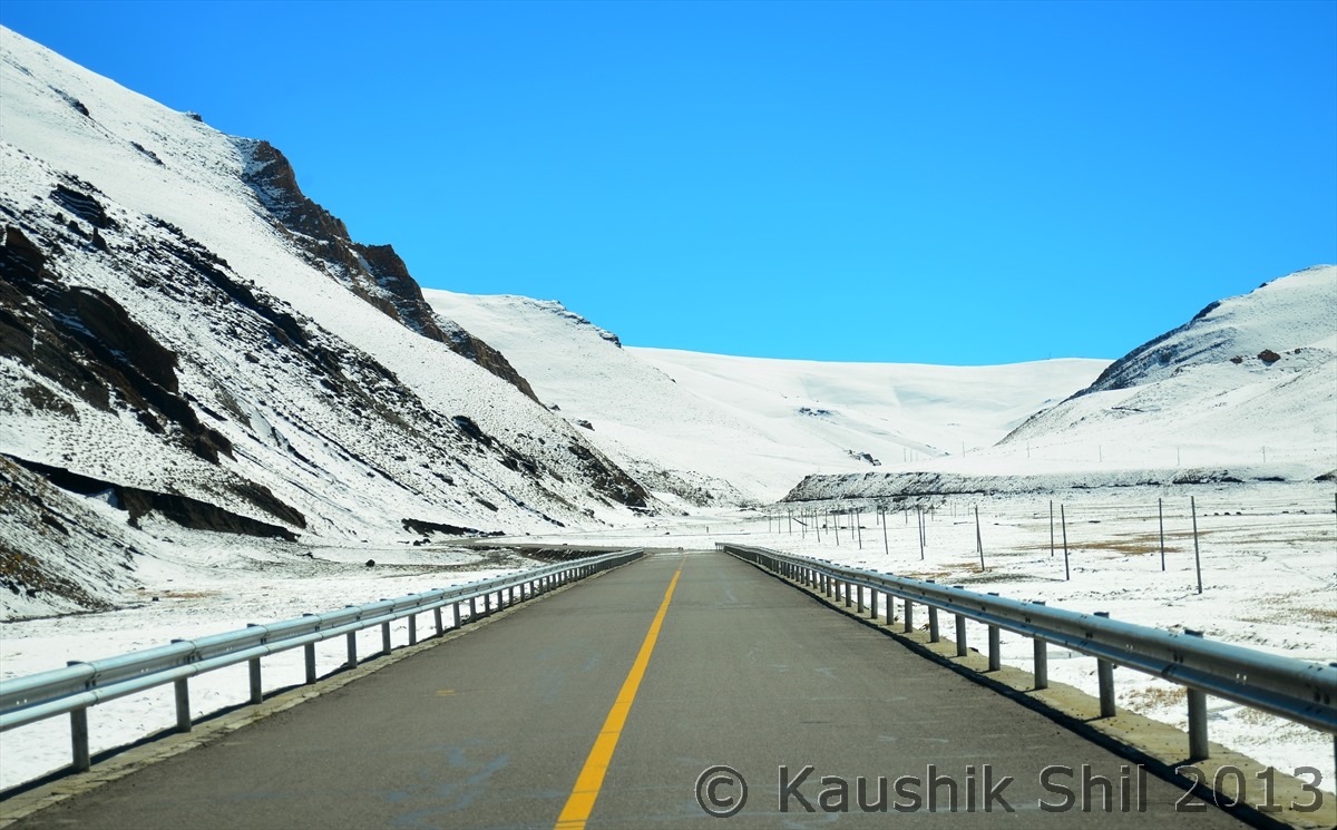
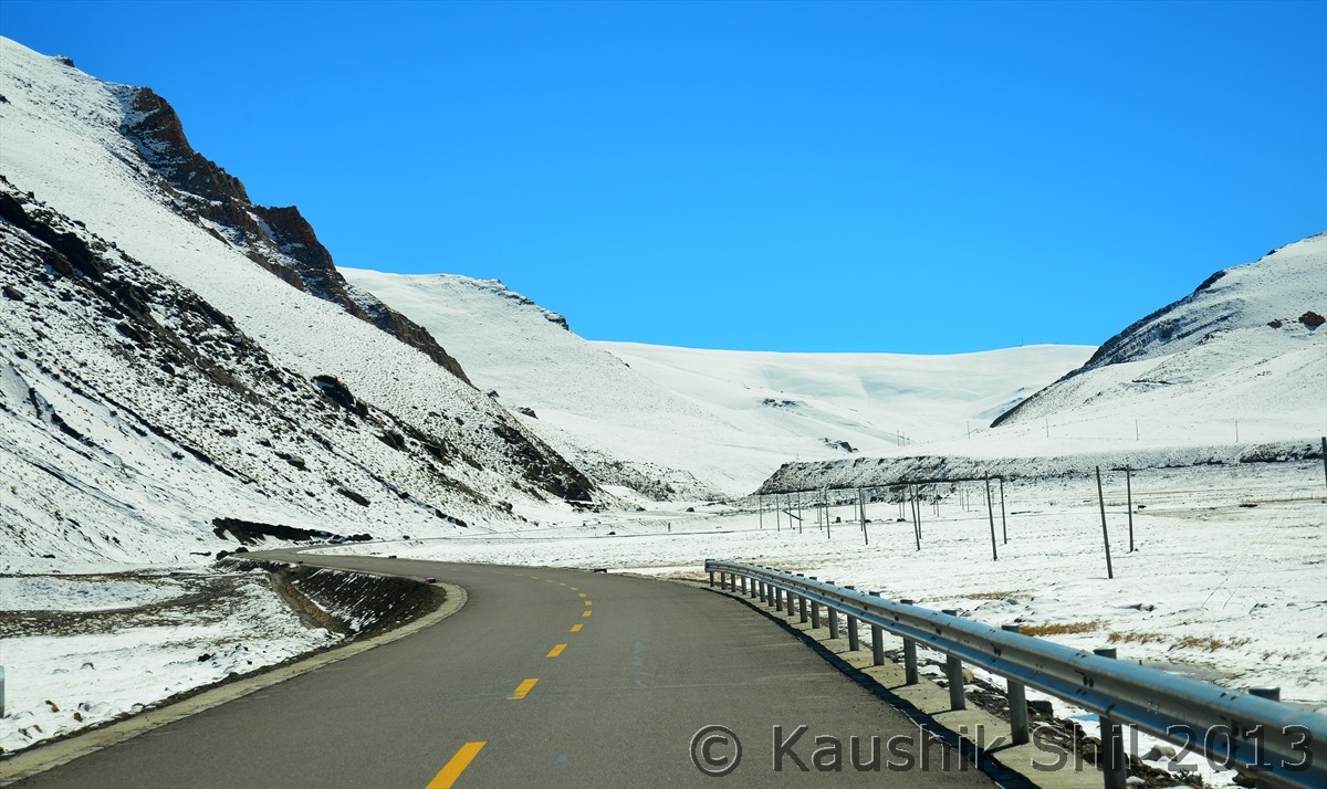
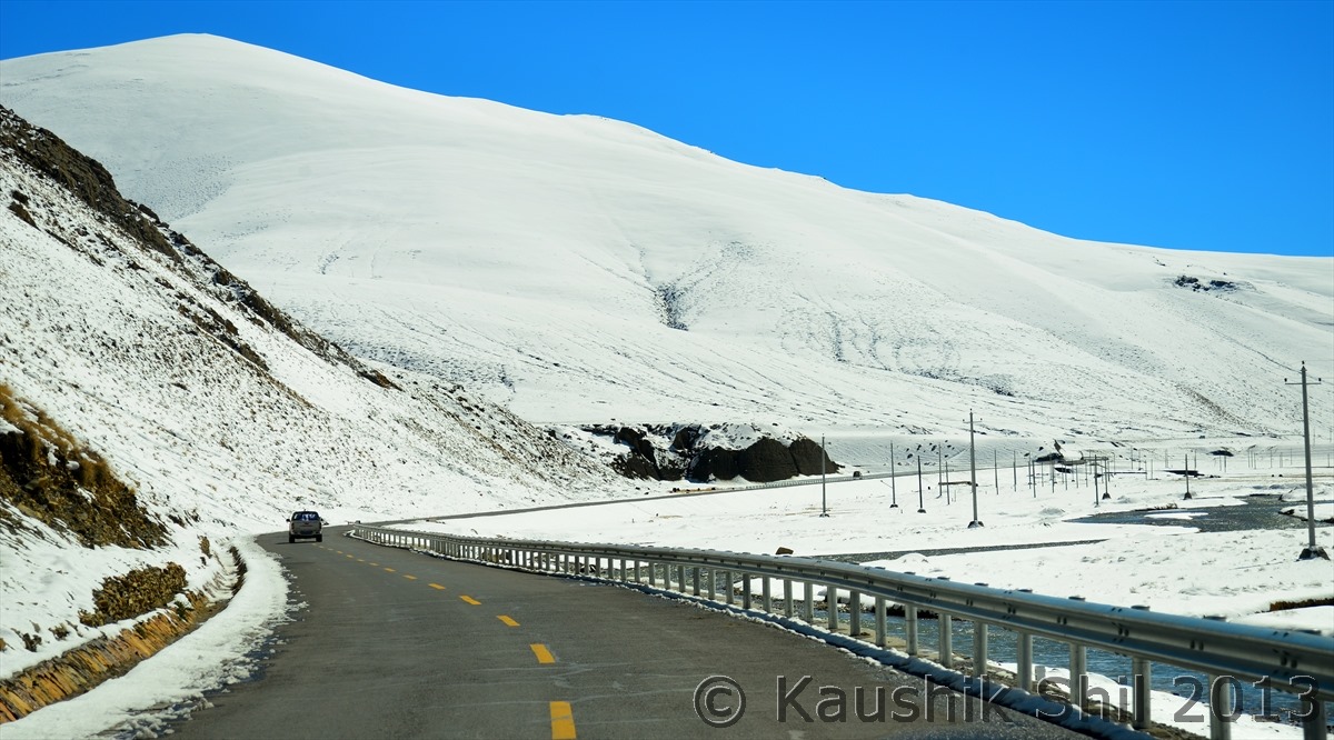
Snow was so heavy that Chinese machinery couldn’t open the road completely after 72 hours:

600_7284


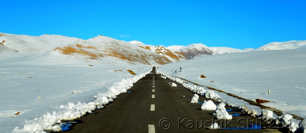
Can you identify the Friendship Higway, amazingly beautiful:

600_7286


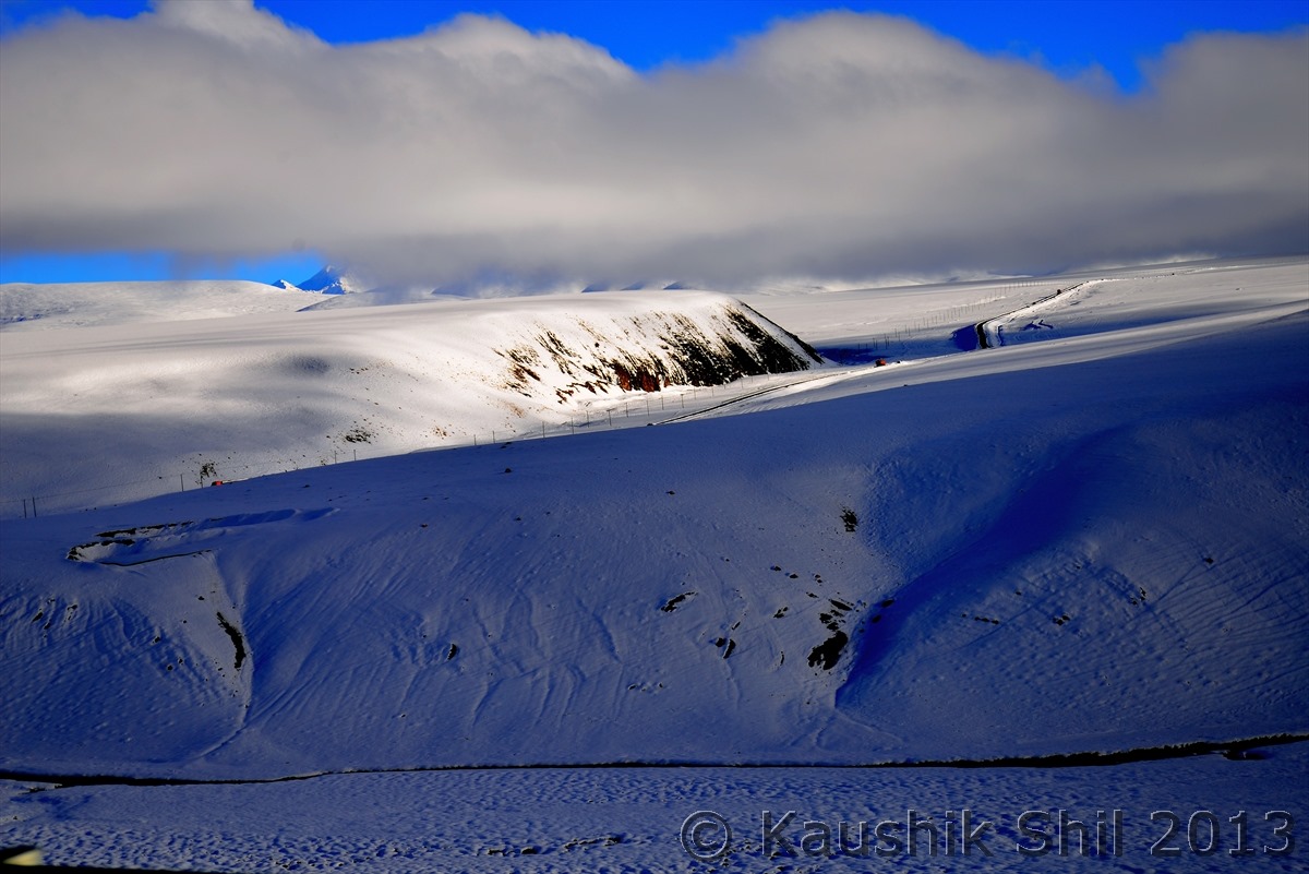
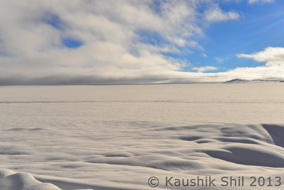
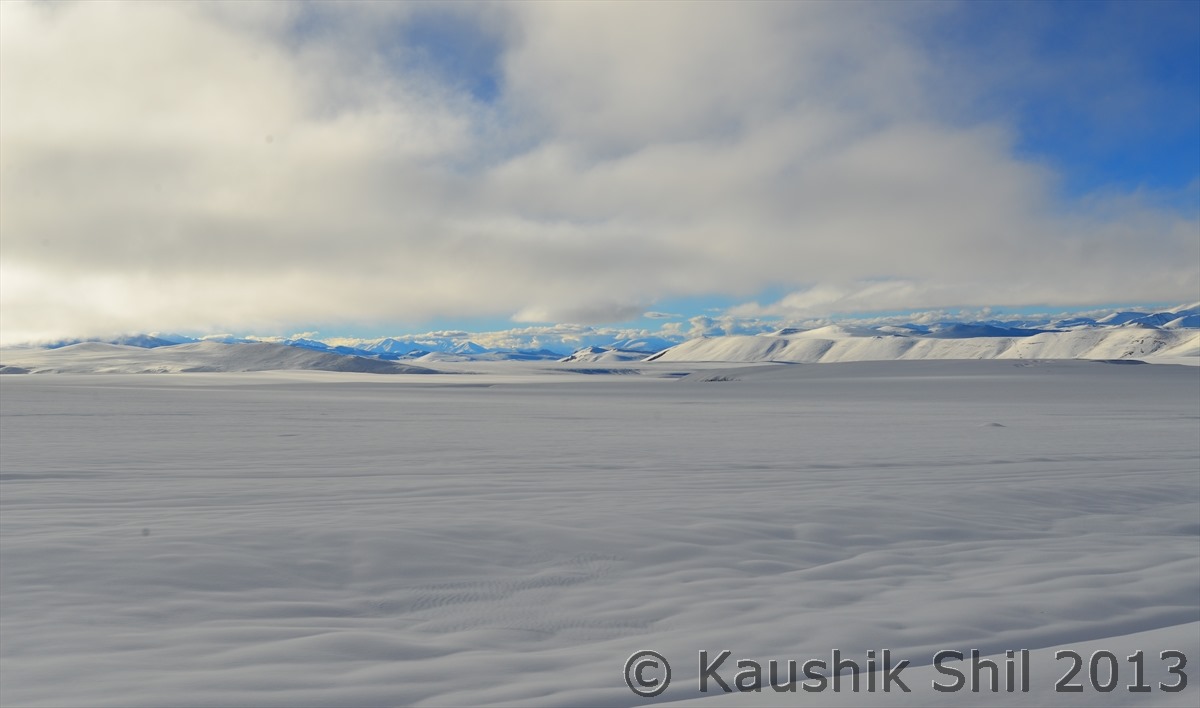
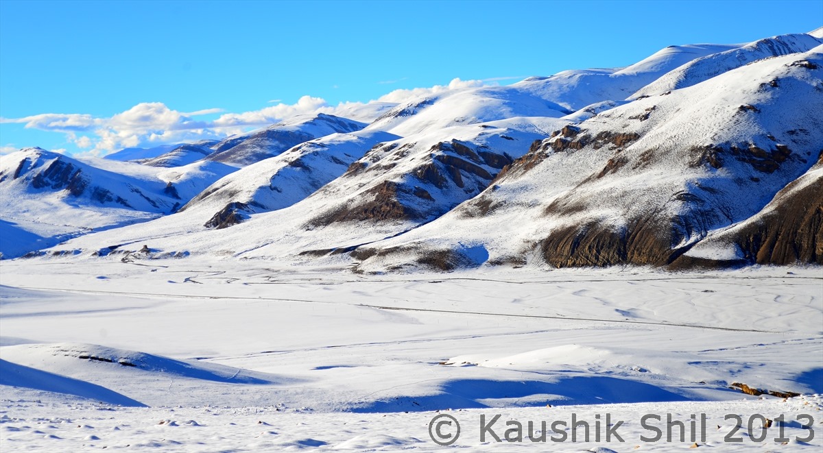
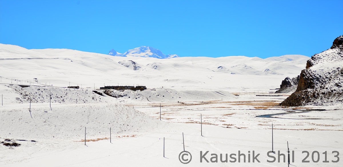
This is just ocean of snow, look the snow all around, seems this was really The Tethys Sea, 250 millions years ago, just frozen with time:

600_7290


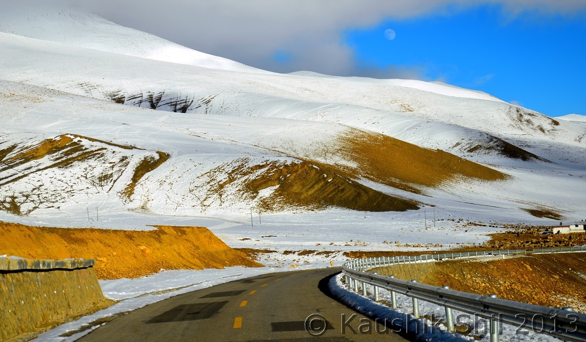
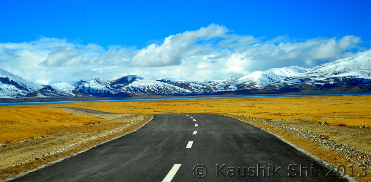
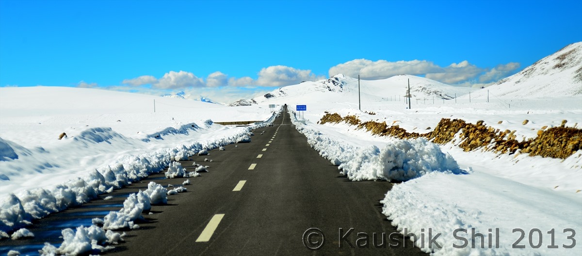
The road continues:

600_7292


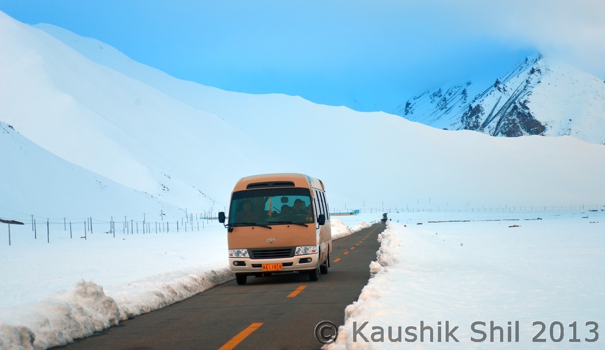
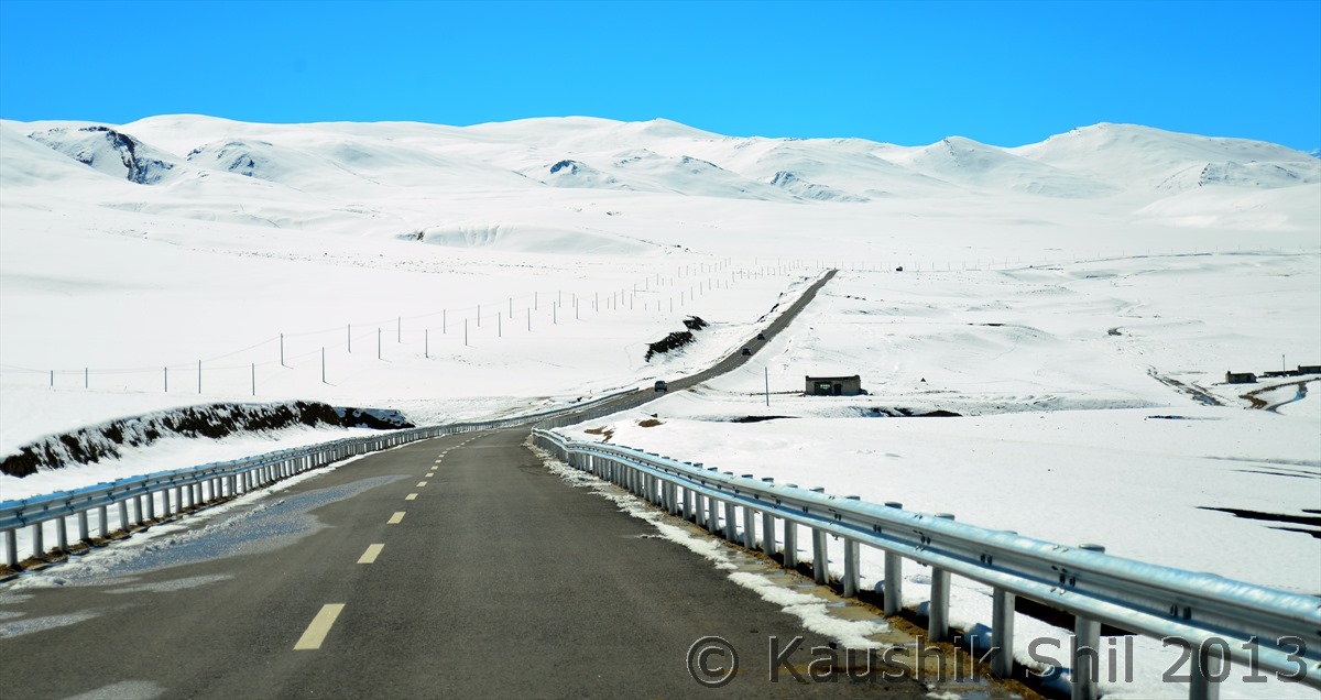
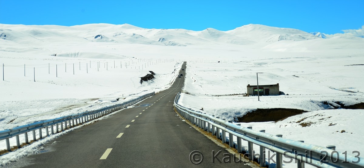
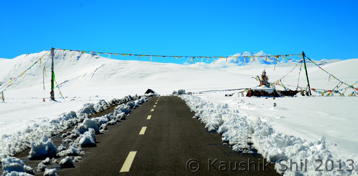
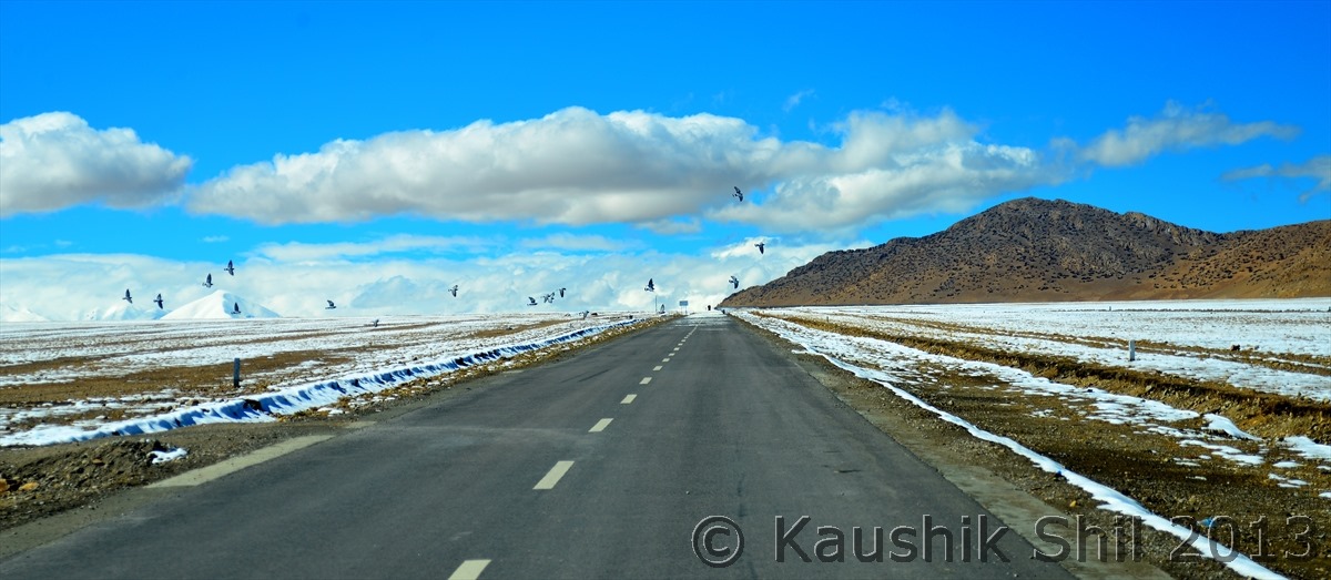
And now what else you can call as Heaven, believe or not that’s the friendship highway and Chinese keeps it open through out the year:

600_7293


The Journey Continues:

600_7295


Friendship Highway goes on:

600_7298


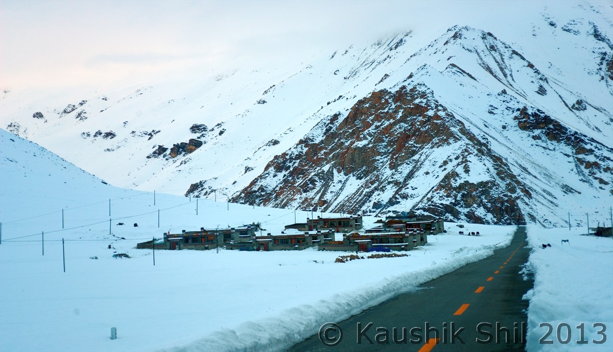
These huts are for the road workers who maintain this epic highway:

600_7302


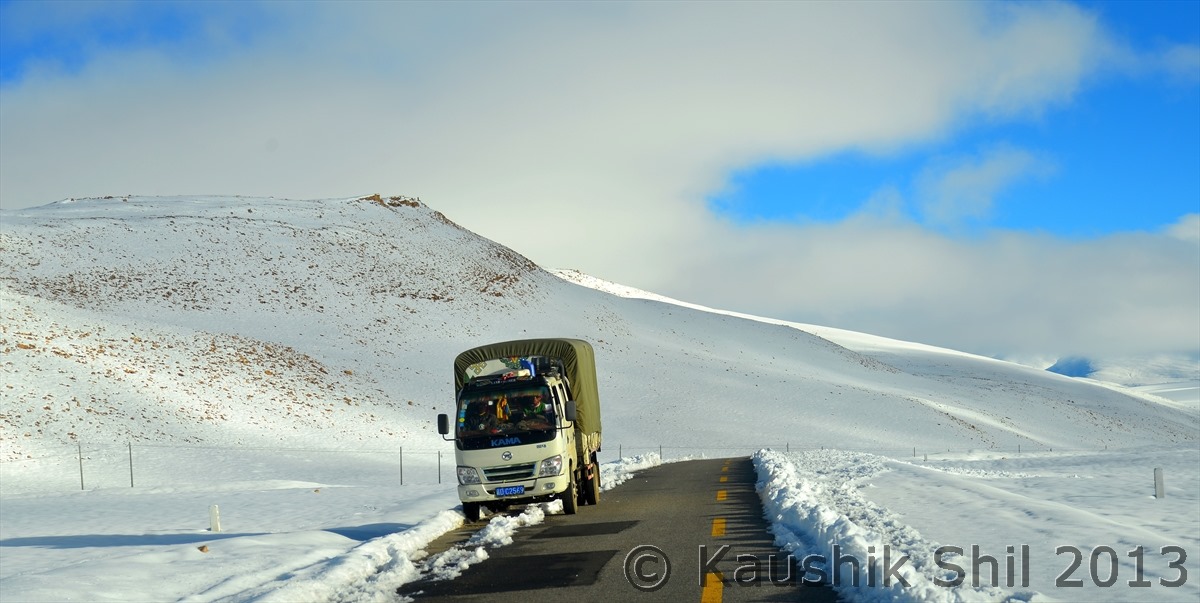
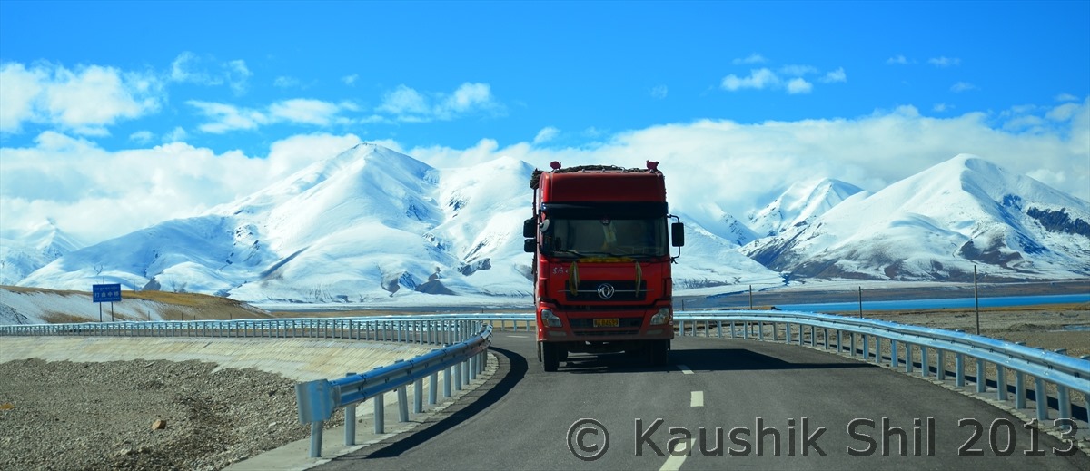
Snow is so heavy, it’s quite difficult get space when a truck comes from other side:

600_7308


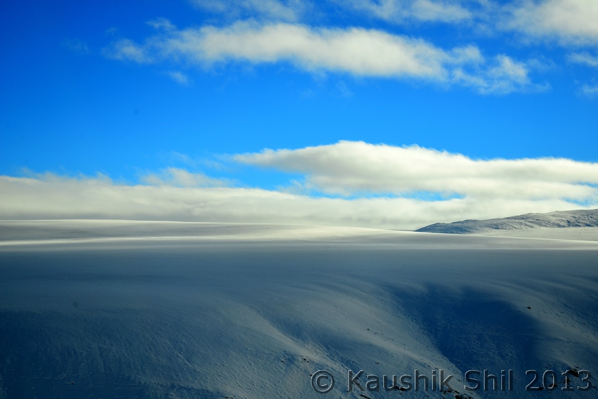
Ocean of snow:

600_7315


Friendship Highway at its highest point:

600_7325


From the top of Himalayan range:

600_7329


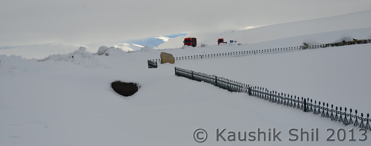
Thong La Pass, see the Trucks but its quite difficult to understand where the road is:

600_7344

600_7349


Amazing Journey Continues:

600_7375


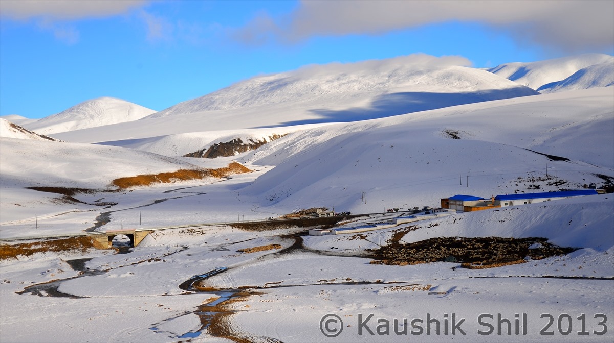
That’s village inhabited all the year through:

600_7394


Friendship Highway Continues:

600_7428


Sun is setting in High Himalayas:

600_7441

600_7443


Previous: Day 27/Part 5

Next: Day 27/Part 7

Xinjiang, China’s Central Asia and incredible Tibet – Day 27/Part 5

Day 27 continued..


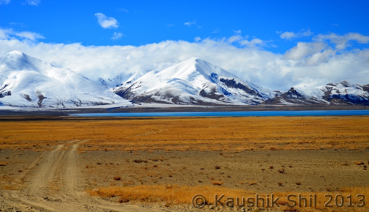
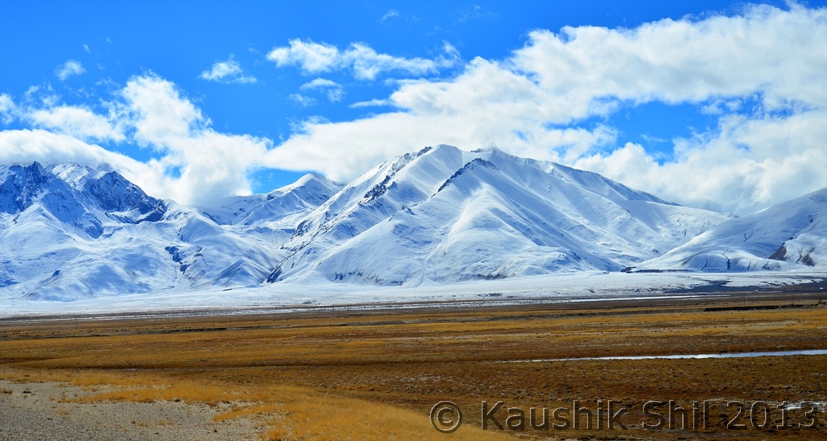
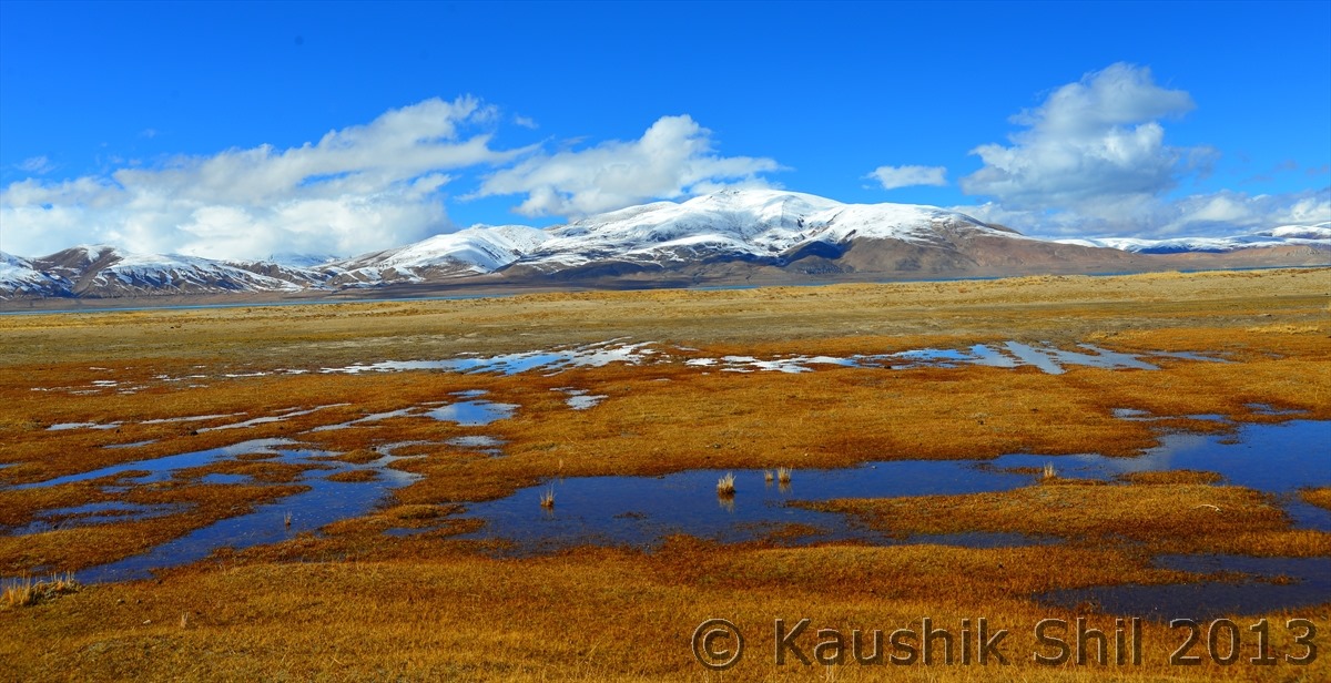
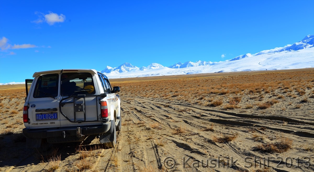
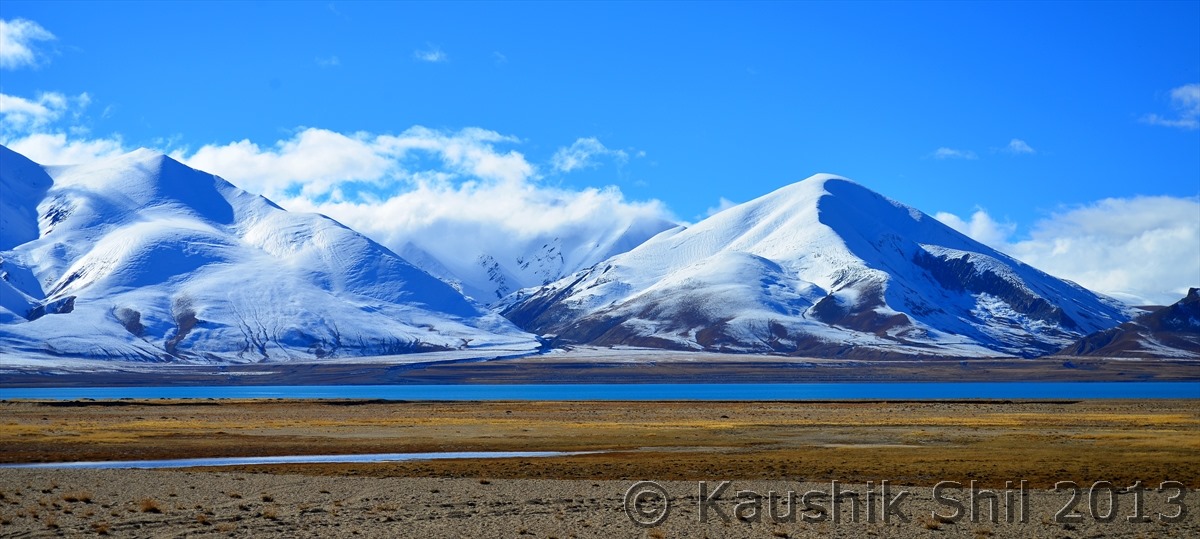
Now we are approaching this beautiful Alpine Lake:

600_7122


This is simply a shortcut connector from Friendship Highway (318) to Tibet-Xinjiang Highway (219) and this stretch is not part of any highway:

600_7128

600_7131


Awe Inspiring vista is simply amazing!! :

600_7137


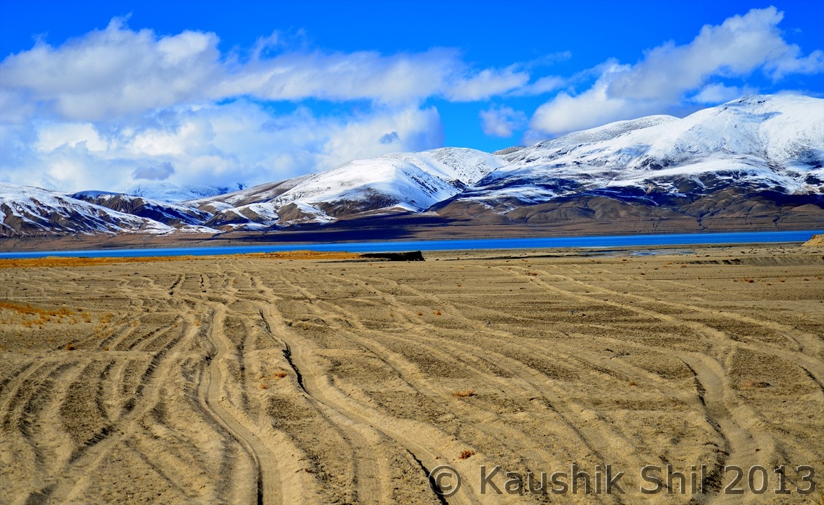
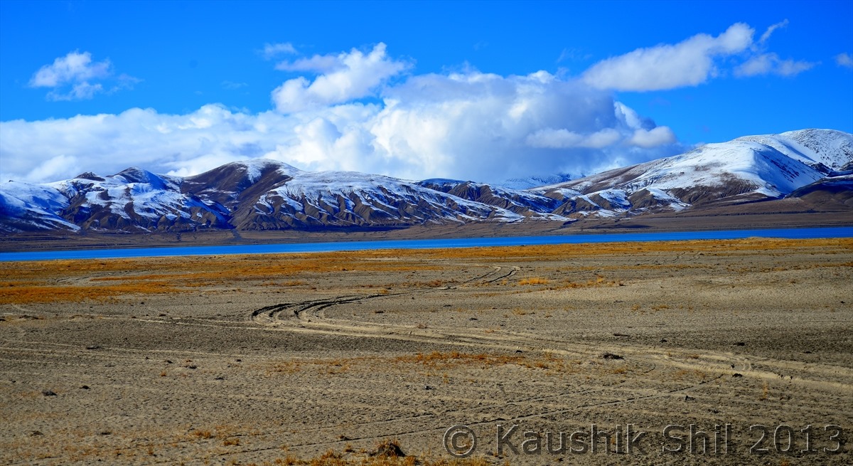
Now you need to do off-roading to reach close to Lake:

600_7141


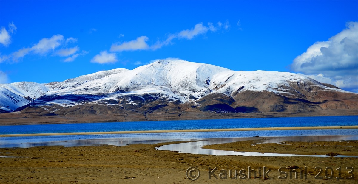
Approaching Pieku Tso :

600_7143


Off-roading in the blessed land:

600_7147


Amazing Vista all around:

600_7148

600_7149

600_7152

600_7161


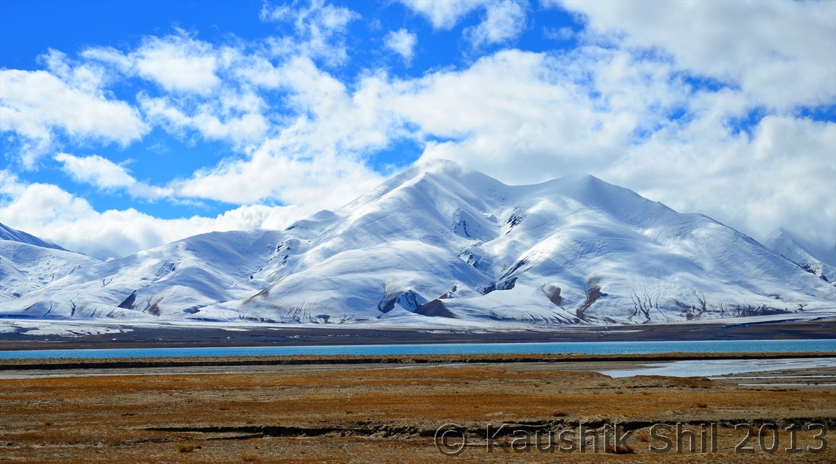
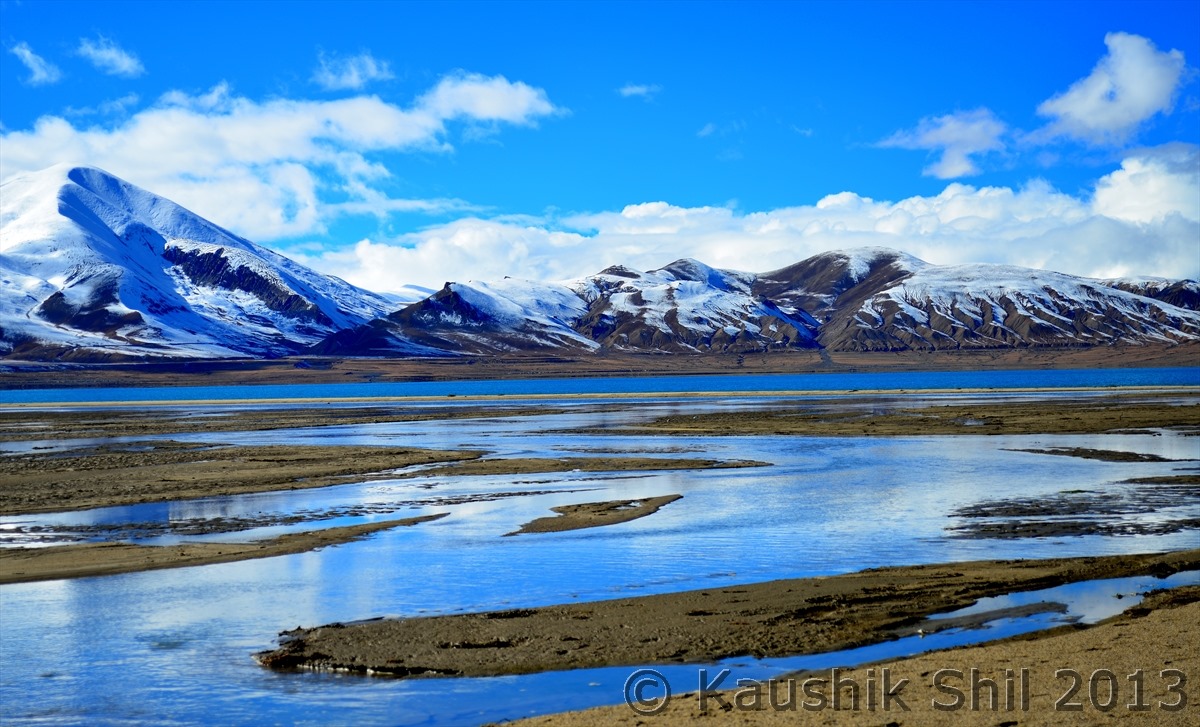
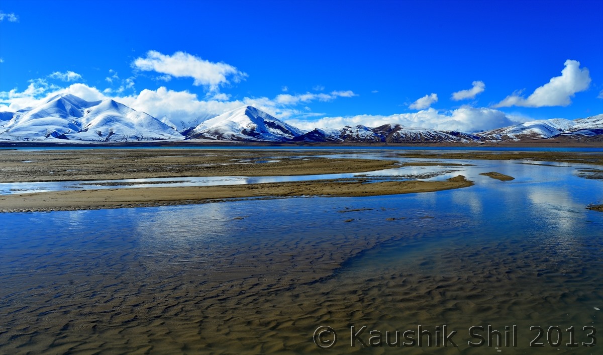
Closer to this alpine lake Pieku Tso:

600_7174

600_7181

600_7188

600_7190


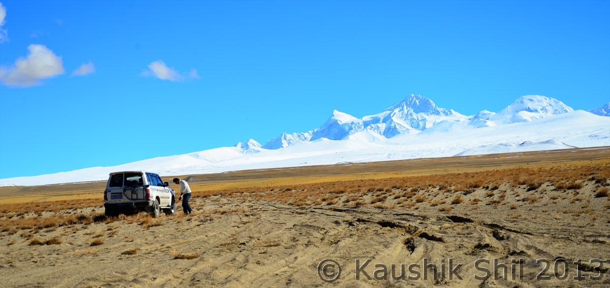
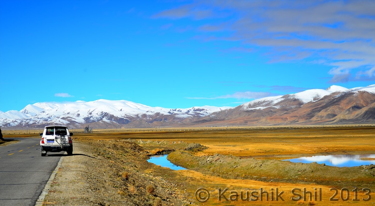
Toyota Landcruiser, the most reliable transport in Tibet Plateau for ages, though I heard in 2014, China is going to ban all these 10 years old Land Cruisers and if they really do that (which we would know close to April) it would create a big mess for all journey to Tibet in 2014 and cost of the trip would be rising :

600_7196


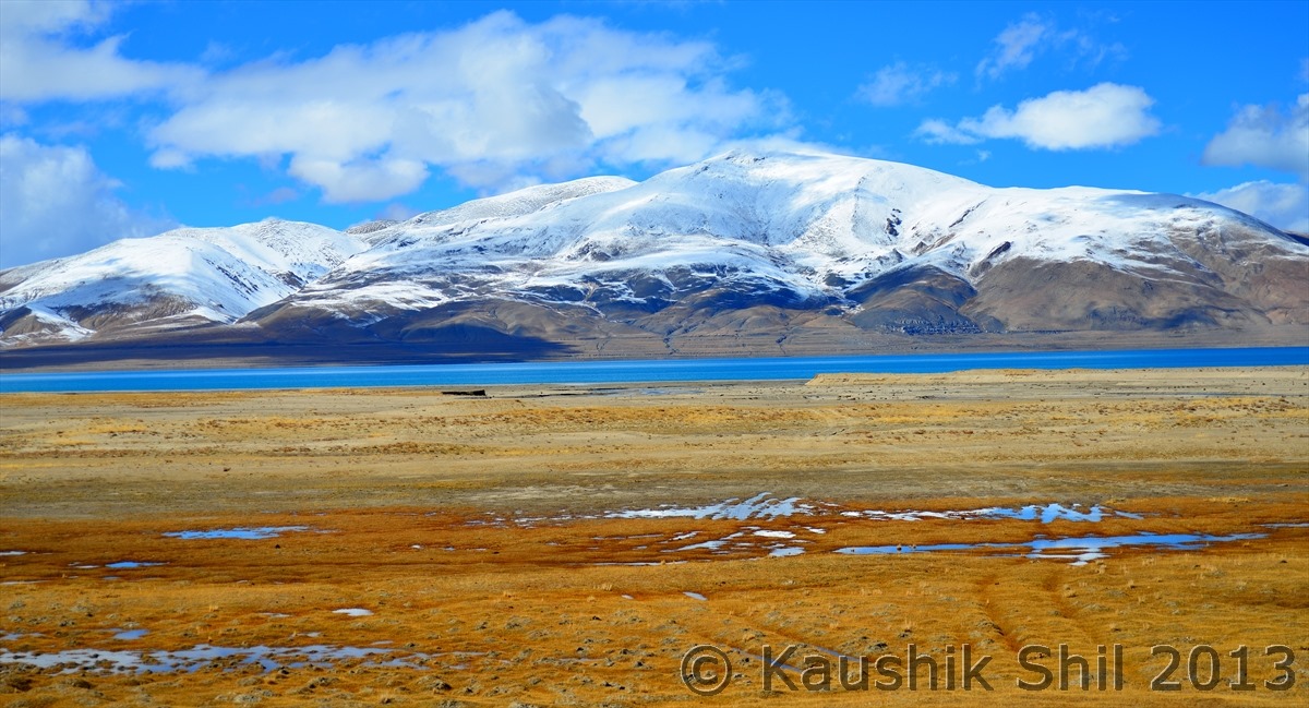
Last glance to Peiku Tso:

600_7197


The Great Himalayan wall:

600_7209


Approaching a small town in Himalayan Kingdom:

600_7211


The Kiangs, in the left in all white background:

600_7219


The amazing journey continues:

600_7221


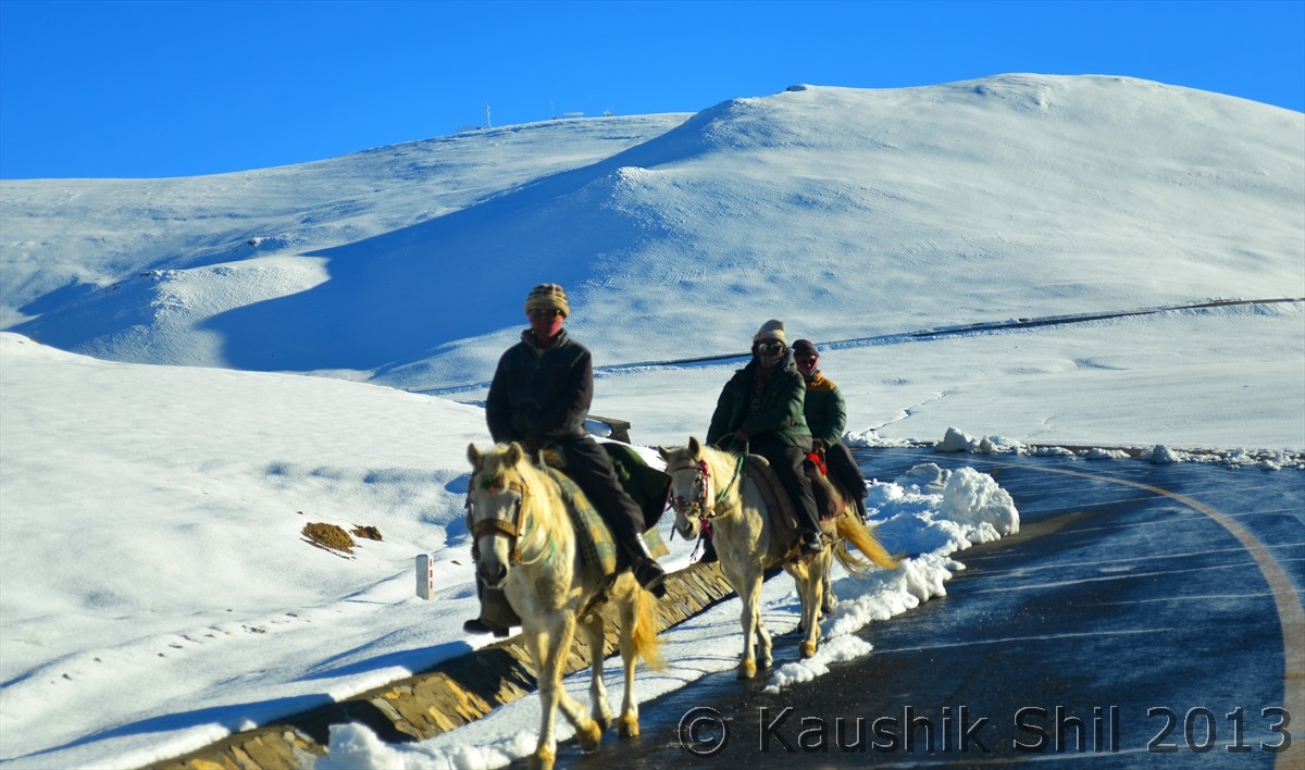
Tibetans riding on the snow land:

600_7249


Unbelievable Journey:

600_7251


Now start ascending for final push to Thong La, Can you see the road below that’s going to Mansarovar:

600_7267


Previous: Day 27/Part 4

Next: Day 27/Part 6

Xinjiang, China’s Central Asia and incredible Tibet – Day 27/Part 4

Day 27 continued..


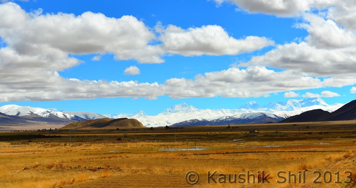
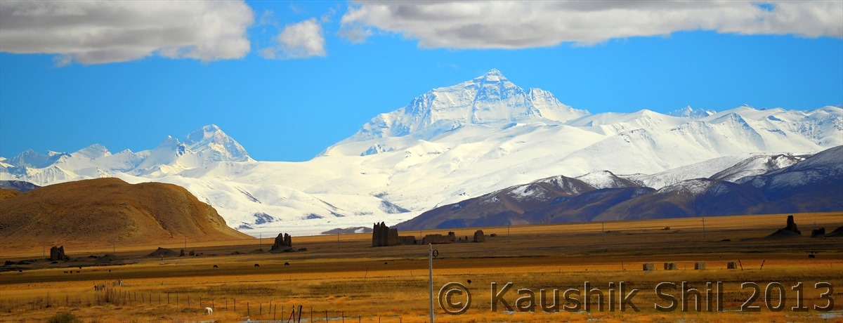
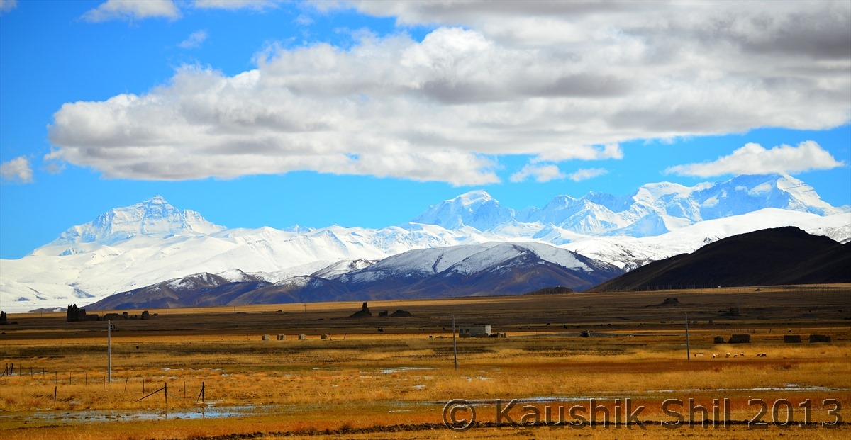
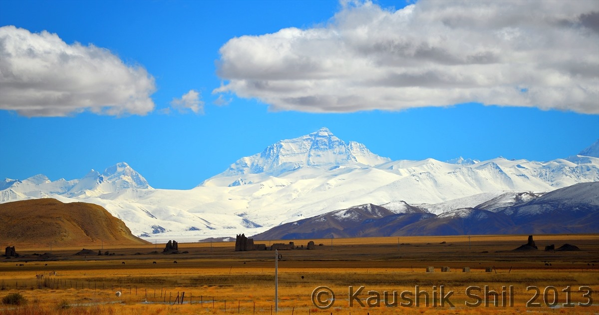
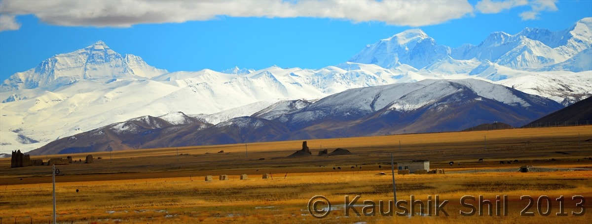
As seen from the Friendship Highway — Extreme Left Mt. Lhotse (8516 meter, 4th Highest ), Then from Left to Right Mt. Everest (8848 meter), Mt. Gyachung Kang (7952 meter, 15th Highest), Mt. Cho Oyu (8201 meter, 6th Highest) .. Mt. Makalu (8485 meter, 5th Highest) is just missing from sight in extreme left which is visible from Pang La on the way to EBC. I don’t think you would find a place in earth from where you can see 4 peaks above 8000 meter and 26 odd peaks over 7000 meters from a motorable road.

600_6903

Mt. Lhotse and Mt. Everest

600_6906

Mt. Everest, Mt. Gyachung Kang and Mt. Cho Oyu:

600_6907

The magic wall of 8000 meters:

600_6908

600_6917

Friendship Highway goes on:

600_6928

Small Town beside Friendship Highway:

600_6930

600_6944

Friendship Highway entering the land of white:

600_6965

600_6977

600_7000

600_7001

600_7008

Entering All White, don’t miss the peak in far, Mt. Shishapangma (Lowest among the 8000 meters peak, at 8013 Meter known as 14th Highest and only 8000 meter peak that is located completely inside Tibet):

600_7015

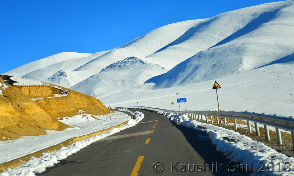
Driving in High Himalayan Region is an experience of Life time, Amazing Concrete road China has made in this difficult terrain:

600_7030

600_7033

Prayer Flags in innumerable passes enroute:

600_7048

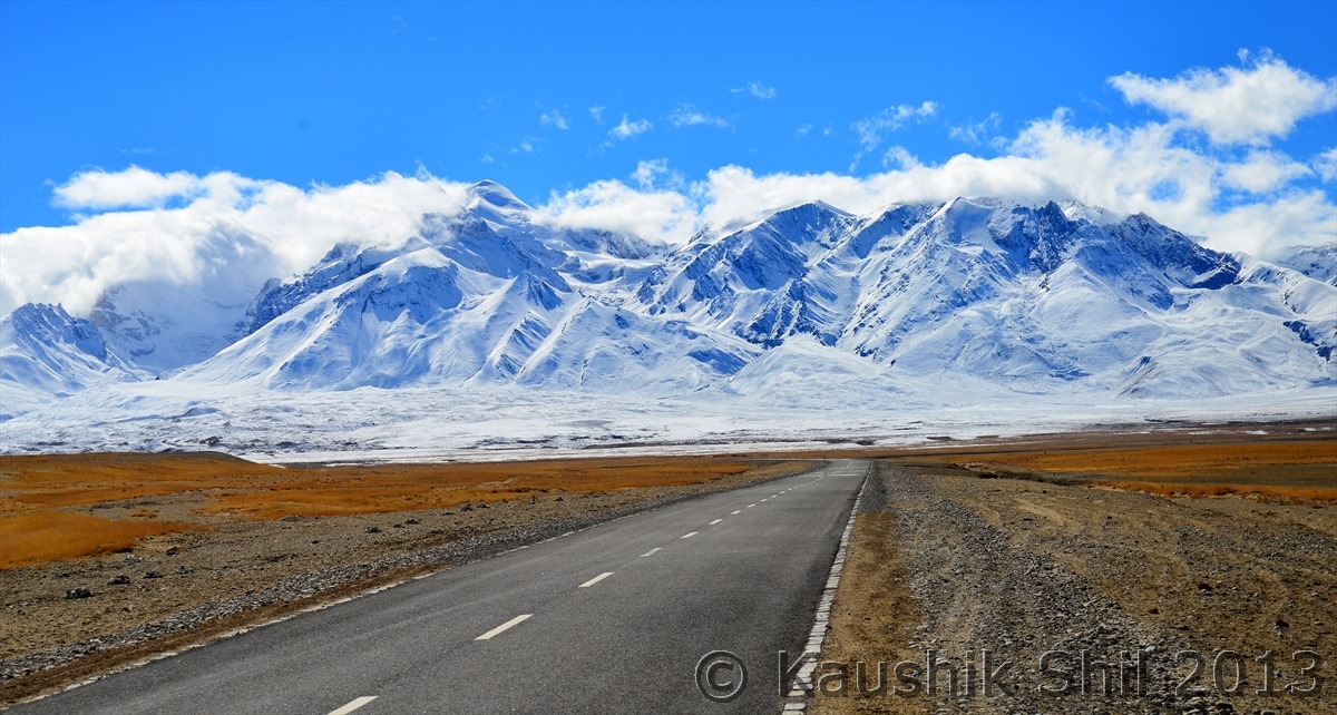
Now we are into the road towards Mansarovar and we are approaching towards the alpine lake Pieku Tso:

600_7049

Local Tibetans Bikers:

600_7053

A Village in the middle of snow:

600_7070

Driving through the amazing road:

600_7086


First look at Peiku Tso in right, amazing setting of the Alpine Lake:

600_7097


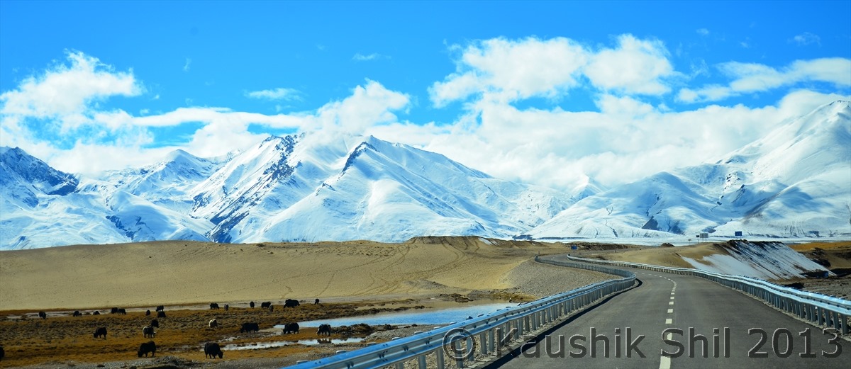
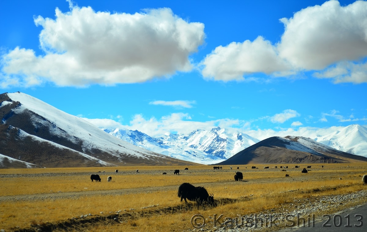
Yaks grazing in Himalayan Backdrop:

600_7098


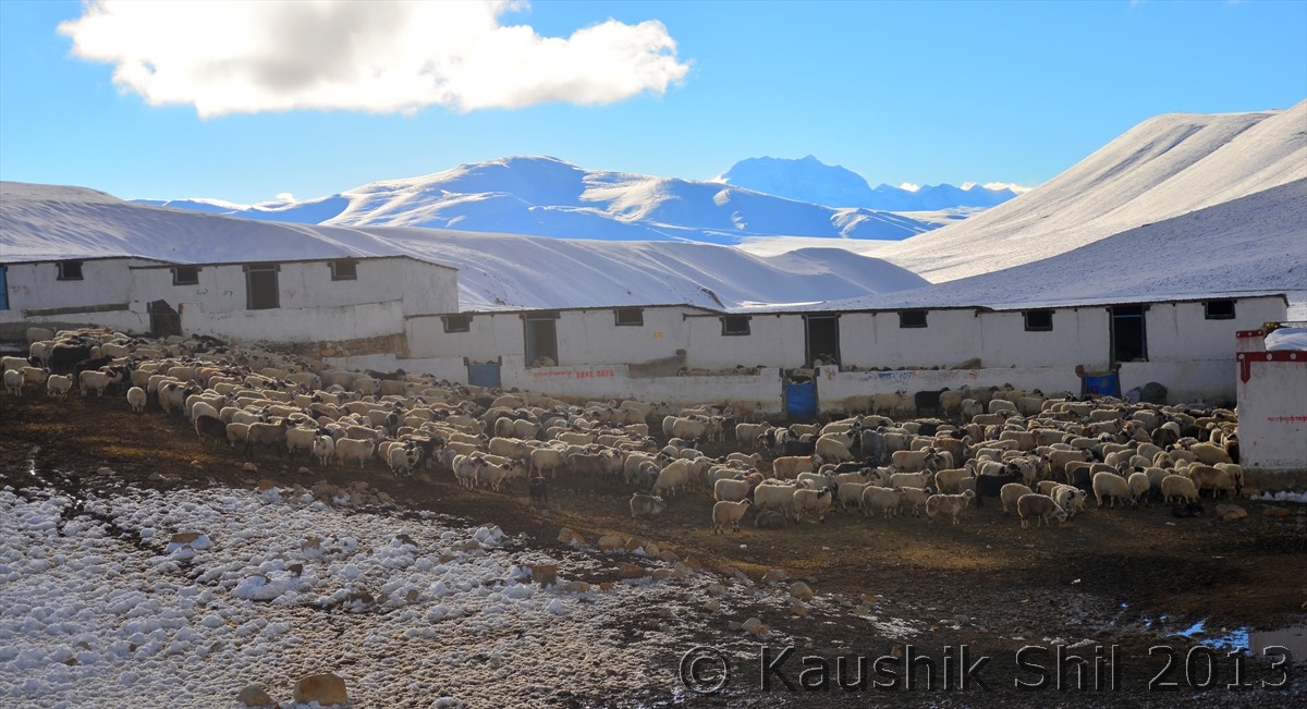
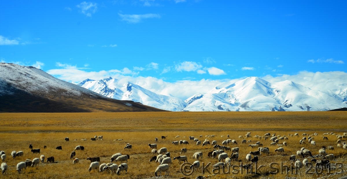
Sheep grazing in the pastureland:

600_7105


Previous: Day 27/Part 3

Next: Day 27/Part 5

Xinjiang, China’s Central Asia and incredible Tibet – Day 27/Part 3

Day 27 continued..


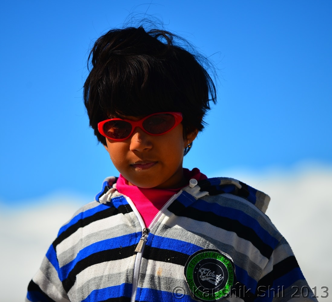
Thanks to Kid for withstanding 10000 km of torture for almost a month before we could see Himalaya from North:

600_6709


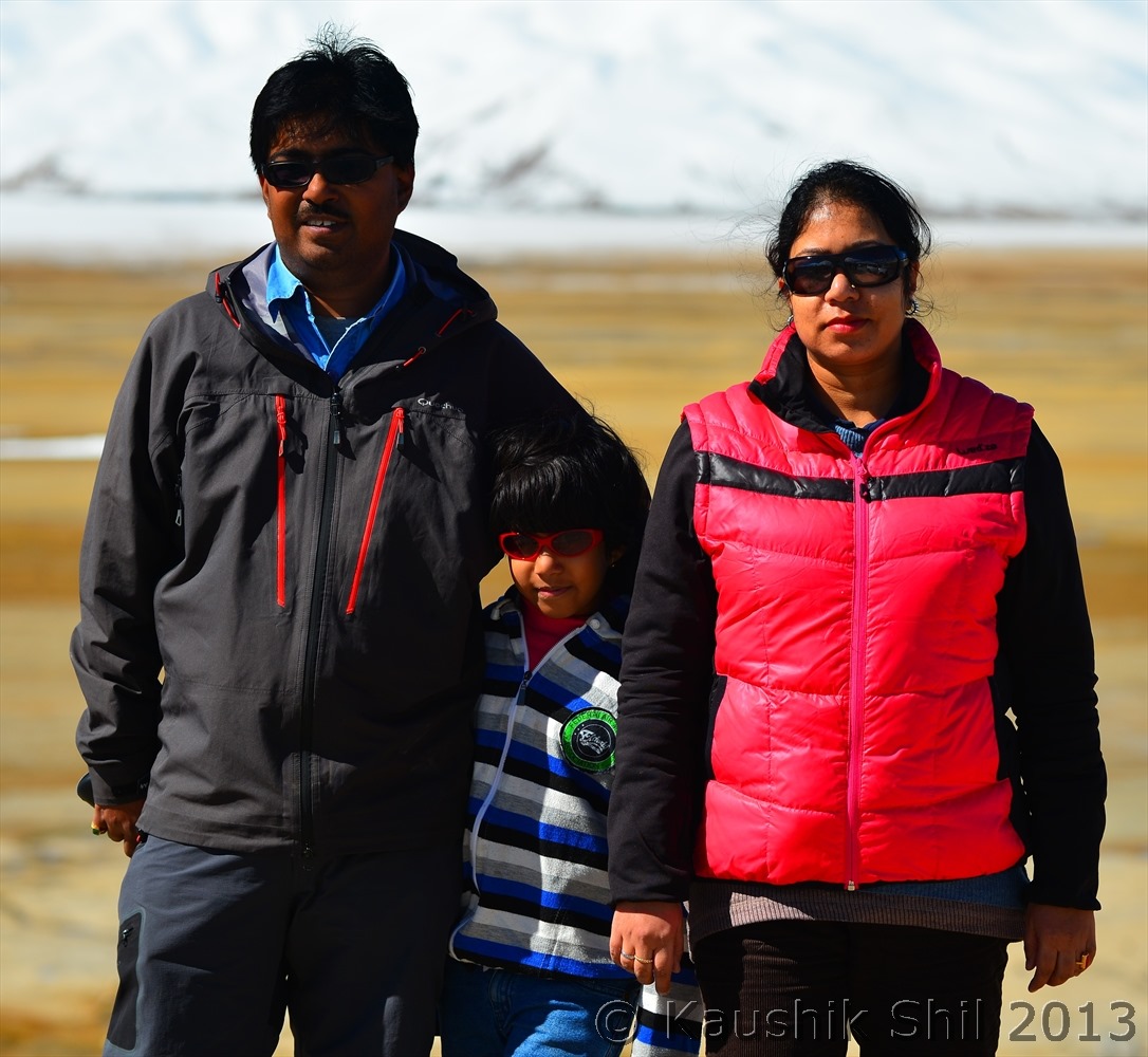
Time to introduce the family, my co-travellers for this trip, we are almost coming to the end of this great journey now

600_6722


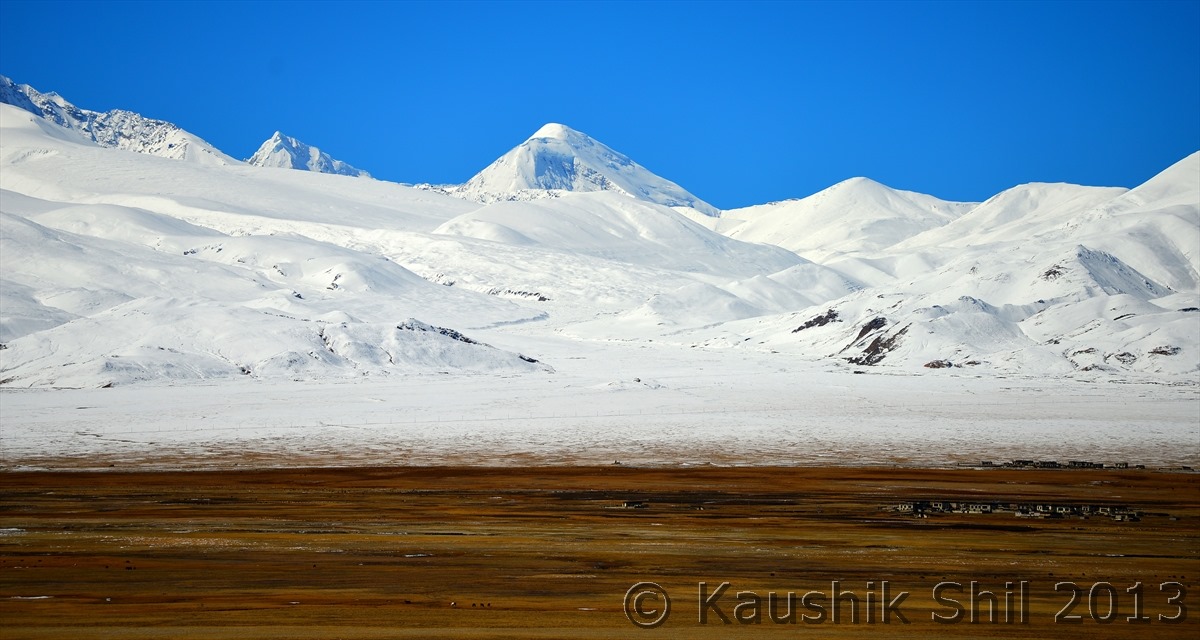
The more I look at this snow wall, more I get thrilled, this is the wall that has changed the history and geography of India from beginning, without this wall we would have surely invaded from North by Tibetans, Chinese and Mongolians and our history would look different and without this wall our climate would look closer to Siberian than tropical, thanks to this great wall for making what India is today:


600_6727


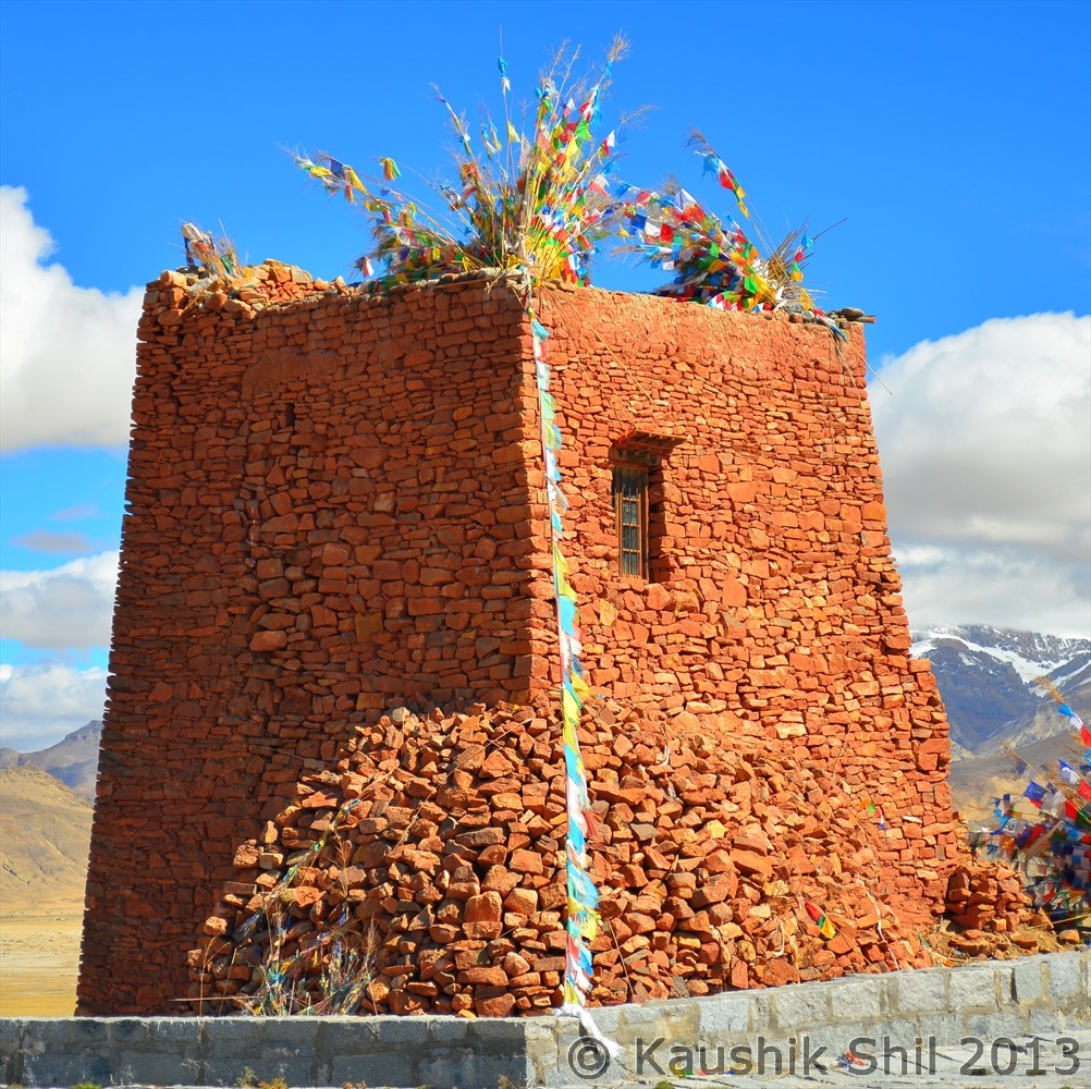
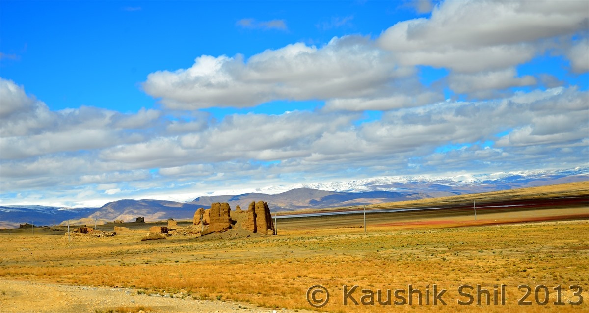
Ruins of some Tibetan fort those gave British a tough fight when they invaded Tibet from India (through Jelep la in Sikkim):

600_6734

600_6789


Friendship Highway going beside the wall:

600_6790


Tingri Town:

600_6799


That’s Mt Everest from Tingri:

600_6819


Great Wall again from Tingri:

600_6820


Even an Ultra Wide Angle failed to take the whole wall:

600_6760


The Only Accommodation in Tingri, a very basic dormitory:

600_6778


Friendship Highway:

600_6822


Small Village:

600_6823


Friendship Highway:

600_6829


Colorful Grass:

600_6856

600_6861


Ruins of Forts:

600_6866


And The Journey continues..

600_6867


Tibetan Villages beside the Friendship Highway:

600_6874

600_6875


Friendship Highway, well built for bigger vehicles:

600_6878


Friendship highway under the well decorated sky :

600_6880


Previous: Day 27/Part 2

Next: Day 27/Part 4

Xinjiang, China’s Central Asia and incredible Tibet – Day 27/Part 2

Day 27 continued..


Along with that the snow wall in horizon:

600_6586


Inching towards the snow wall of Mighty Himalayan Ranges:

600_6591


Amazing Lakes:

600_6600

600_6603


Lakes with colorful mountains:

600_6607


Reflections of snow wall:

600_6614


That’s the snow wall of mighty Himalayas, first time looking at them from North side:

600_6631

600_6634

600_6638


Continued the journey  and we looked closely to Himalayan walls of great 8000 meters peak including Everest, Lhotse, Cho Oyu, Shisapangma from Northern side in Tibet Plateau. The view was completely different than what we saw from South side as the high Himalayan ranges are farthest when we looked from South overlooking lower ranges of Shivalik and Himachal Himalayas with lots of green. When we looked from North from Tibet Plateau at a height of 5000 meter, the Highest Himalayan ranges was the only range that was visible and that stood closest to us and all the great 8000 meters peak looked like within the touching distances forming an all white snow wall.


Entering Tingri, the gateway of EBC North:

600_6640


See the 180 degree panorama of High Himalayan range, a number of 8000 meters are visible here, can you locate Mt. Everest (Called Chomolungma in Tibetans and known as Sagarmatha in Nepalese):

600_6642


The snow wall:

600_6652


See how High Himalayan ranges look like when you see from North, the highest range consisting of 8000 meter peaks are straight in front of you when you look from North standing in Tibet Plateau, the small village is amazingly located just in foot hill of the range, this you never could see from South side where smaller mountains would not allow you to see the complete range from top to bottom:


600_6673

600_6675

600_6677


Mt. Everest North Face:

600_6680


Colorful Mountains all around:

600_6684

600_6685


Mt. Everest in the center:

600_6690


Snow Walls standing tall:

600_6693

600_6694


The small town near to us is Tingri, see the amazing location of Tingri from top of a nearby hill:

600_6695


The great snow wall:

600_6706


Previous: Day 26 and 27/Part 1

Next: Day 27/Part 3

Xinjiang, China’s Central Asia and incredible Tibet – Day 26 and Day 27/Part 1

Day 26:

We just felt how big a disaster could be in high mountains, when cyclone Philine after loosing its 80% of strength hit Everest region last night and snowed 3 meters in just an hour or so. We were sheltered in a concrete house but still the sound and strength of hail storm was nerve wrecking. The road (Friendship Highway) was closed and Everest Base camp was closed indefinitely. It was a shock to us as EBC was our one of the most sought after destination in whole trip but we heard from locals that many tourists were killed in last nights snow and hail storm and many were still lost. The EBC since then been closed and never opened for the rest of the year, as of now what I heard it would reopen only in April 2014. We definitely had a bad day in the trip and forced ourselves in the room as it was completely snowed out but because of this cyclone, we saw a different views of Friendship Highway on next day when it reopened, a view very few could witness with clear blue sky, world’s highest peak looming in the horizon and few feet of snow in either side of the black tarmac of the road as long as you can see!!

Day 27:

We started early as we had to cover till Zhangmu (Nepal-Tibet Border) and we knew we had a lot of stops to be taken for the entire day as we would cross High Himalayan ranges today. Woeser was upset too as we couldn’t make EBC, promptly instructed the guide to refund our entrance fees for EBC and also he offered us 100 km extra ride to Peiku Tso, a wonderful alpine lake towards the way to Western Tibet (Mansarovar), Woeser repeatedly proved the worth of choosing a right tour operator in such an unpredictable circuit. Just outside of Shegar town there was a major military check post where permits and passports were thoroughly checked for all 3 of us. This is the most important checkpoint in whole Lhasa – Kathmandu route where all papers and even luggage could be scanned. After 5 km from this checkpoint the turn off for Mt. Everest appeared approximately at kilometer marker of 5145 (From Shanghai). As a last hope we still gone to the security check post to get an idea of latest situation, what we heard still tourists and cars were trapped in upper region with meters of snow and all tents in Rongbuk were still under snow, the Chinese rescue team were working with the aid of helicopters to rescue tourists. Any movement from here towards base camp was strictly prohibited. We once again felt, it’s the mother nature who takes the final call as we abandoned our EBC dream which we planned and well executed almost till end for last 2 years just from 80 km away from the final destination. We soon reached Tingri, once a Tibetan-Nepali trading center for grain, goods, wool and livestock. The trade largely died out since China took over but odd Nepali traders can still be seen here. The small town lies in the edge of a vast plain. There are great views of the Himalayan Giants, all eight thousanders in the south for 180 degree, Starting from Everest to Lhotse to Nuptse to Cho Oyu the whole range was looking spectacular, we drove just outside the town to south for a better view from hill top and it was simply looking gorgeous. Looking at mighty Himalayan ranges from North and seen them in South was an experience of a life time. We had our lunch done in Tingri and as we drove south western, we started entering a magical region which might be the real heaven as we experienced it. The views from double pass of Thong La whose North Crest at 4950 meter and South Crest at 5200 meter was spectacular and beyond any description. We started going all the downhill after this and sharply started reducing heights as in 50km we climbed down from 5200 meter to 3700 meter to Nayalam and then in another 25 km to Zhangmu which was just at 2250 meter. From Nayalam the amazing drop off of plateau down through lush forest terrain with gushing waterfalls, it was simply an outstanding drive which we would remember for some times to come. We again got a 4 star hotel (Hotels at Zhangmu were quite costly) and thanks to Woeser for ending the trip so well.

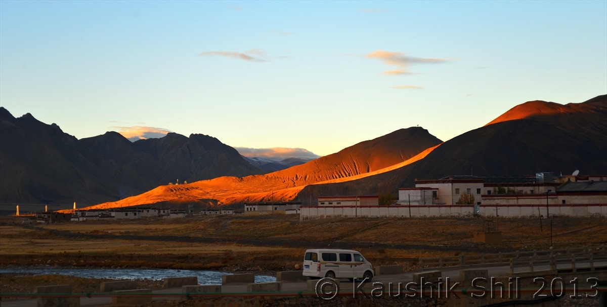
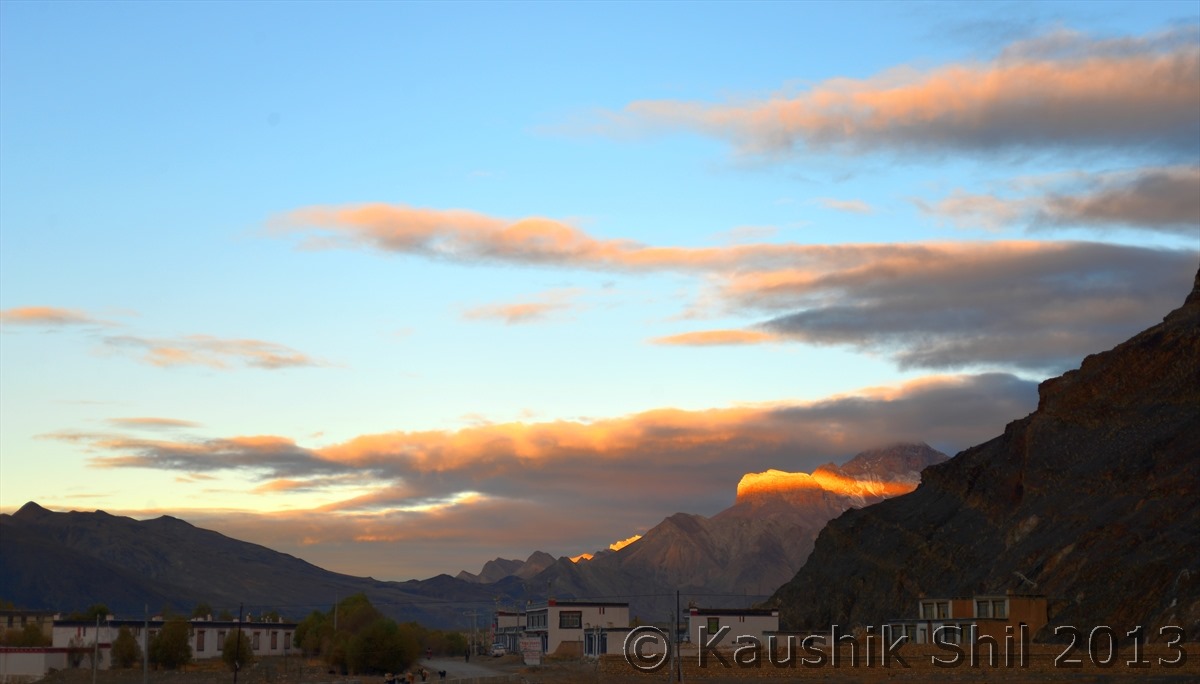
First ray of Sun in the morning:

600_6465

600_6466

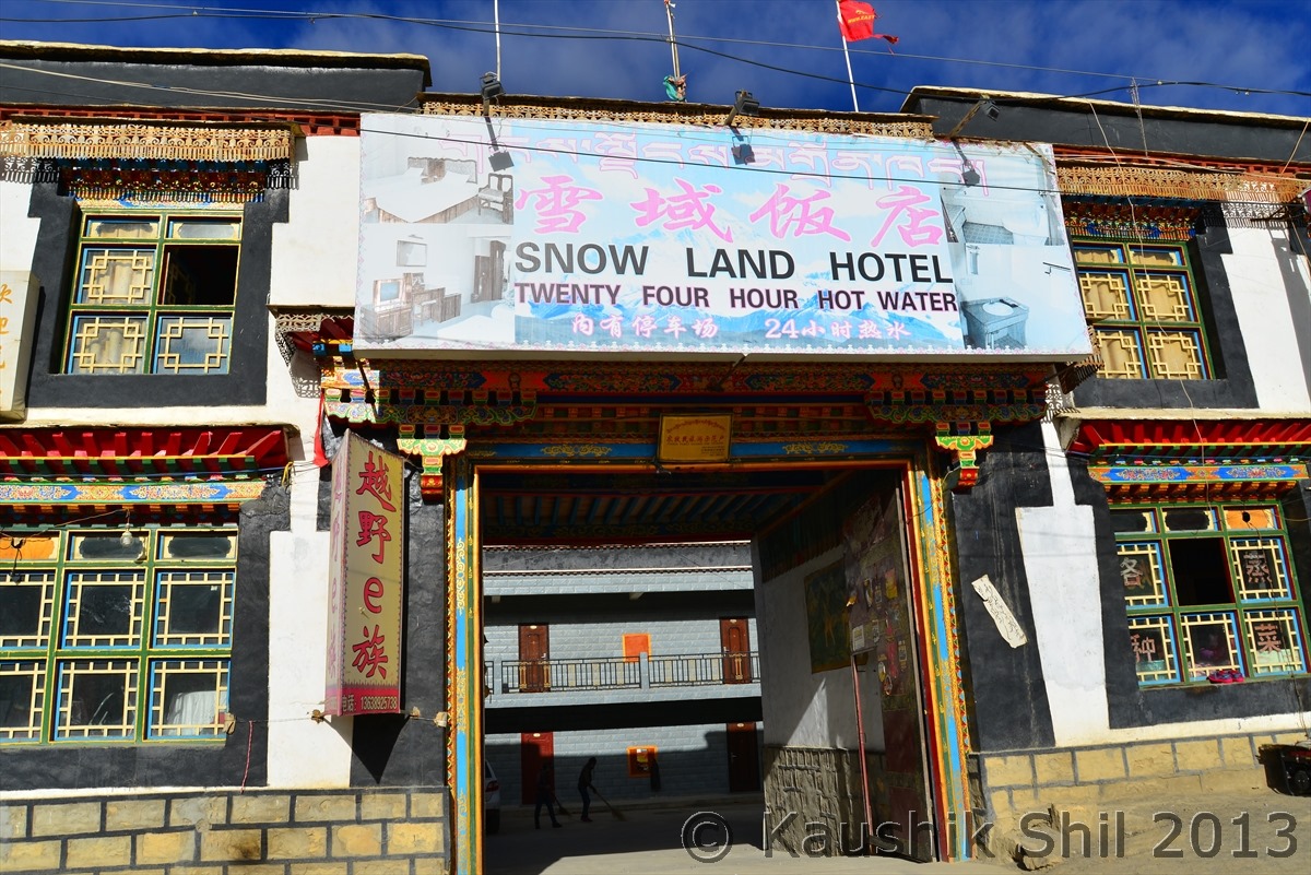
Hotel at Shegar, 24 hours Hot Water was the USP :

600_6483

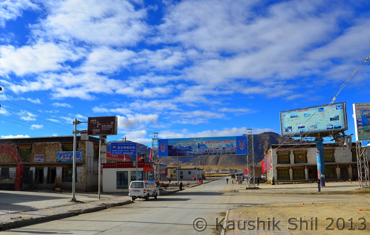
Small town of Shegar:

600_6484

Villages beside the Friendship Highway:

600_6495

600_6497

The road goes on:

600_6505

The turn where our dreams were shattered just 80 odd km away from final destination to EBC North Base Camp (There is always a next time in life but that is not so easy when it comes to Tibet):

600_6515

Dream Ride continues:

600_6527

600_6531

600_6532

600_6540

600_6554

600_6556

Going through small villages:

600_6557

600_6560

Amazing Drive through Friendship Highway:

600_6566

600_6567

600_6569

600_6571

600_6582

600_6575


Colorful Grasses:

600_6584


Previous: Day 25/Part 2

Next: Day 27/Part 2

Xinjiang, China’s Central Asia and incredible Tibet – Day 25/Part 2

Day 25 continued..


Friendship Highway as seen from Tropu La (4950 meter) towards Lhatse:

600_6127


Traffic rules are enforced seriously and you would given a specific time to cross the certain stretches over Friendship Highway, if you drive fast and reach before time, they impose very heavy fine and might take your license, so cars are taking time out before reaching a traffic check post, quite common in Friendship Highway:

600_6137


Small Village:

600_6153


This part of the valley is fertile:

600_6171


Amazing colors of grass and mountains:

600_6179

600_6187


Road towards Lhatse:

600_6190


Kid is enjoying with the locals at Lhatse:

600_6197


Lhatse Town, a must stop for any journey towards Western Tibet (Mansarovar/Kailash) :

600_6198


Here the road diverts, Epic Highway 219 goes towards Ali and 318 continues as friendship highway towards Zhangmu/ Kathmandu, whoever are following this log from beginning must have seen the start of other end of highway 219, 2500 km road at Karghilik (yecheng) in Xinjiang:

600_6215


Exact diversion point, left to Kathmandu, right to Kashgar via Mansarovar, Ali, Aksai Chin:

600_6218


We are turning left towards Kathmandu (Right is still a dream to accomplish )

600_6220


Diverting towards Kathmandu via Friendship Highway 318:

600_6229


Snow peaks started getting closer:

600_6317

600_6322


Approaching Gyatso La:

600_6324


Gyatso La (5200 meter) , an amazing High Himalayan Pass:

600_6329

600_6348


The landscape is amazing through out the journey on Friendship Highway:

600_6352


Out of no where these Cops appeared and checked our speed at an altitude of 5000 meter

600_6360


These trucks are the supply line of Lhasa from Kathmandu:

600_6379


Reflection on Friendship Highway:

600_6398


Needs no introduction

600_6405


Reaching Shegar (Pelbar):

600_6461


Previous: Day 25/Part 1

Next: Day 26 and 27/Part 1

Xinjiang, China’s Central Asia and incredible Tibet – Day 25/Part 1

Day 25:

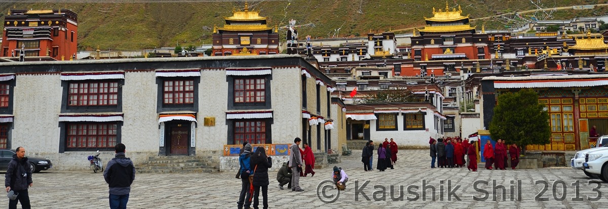
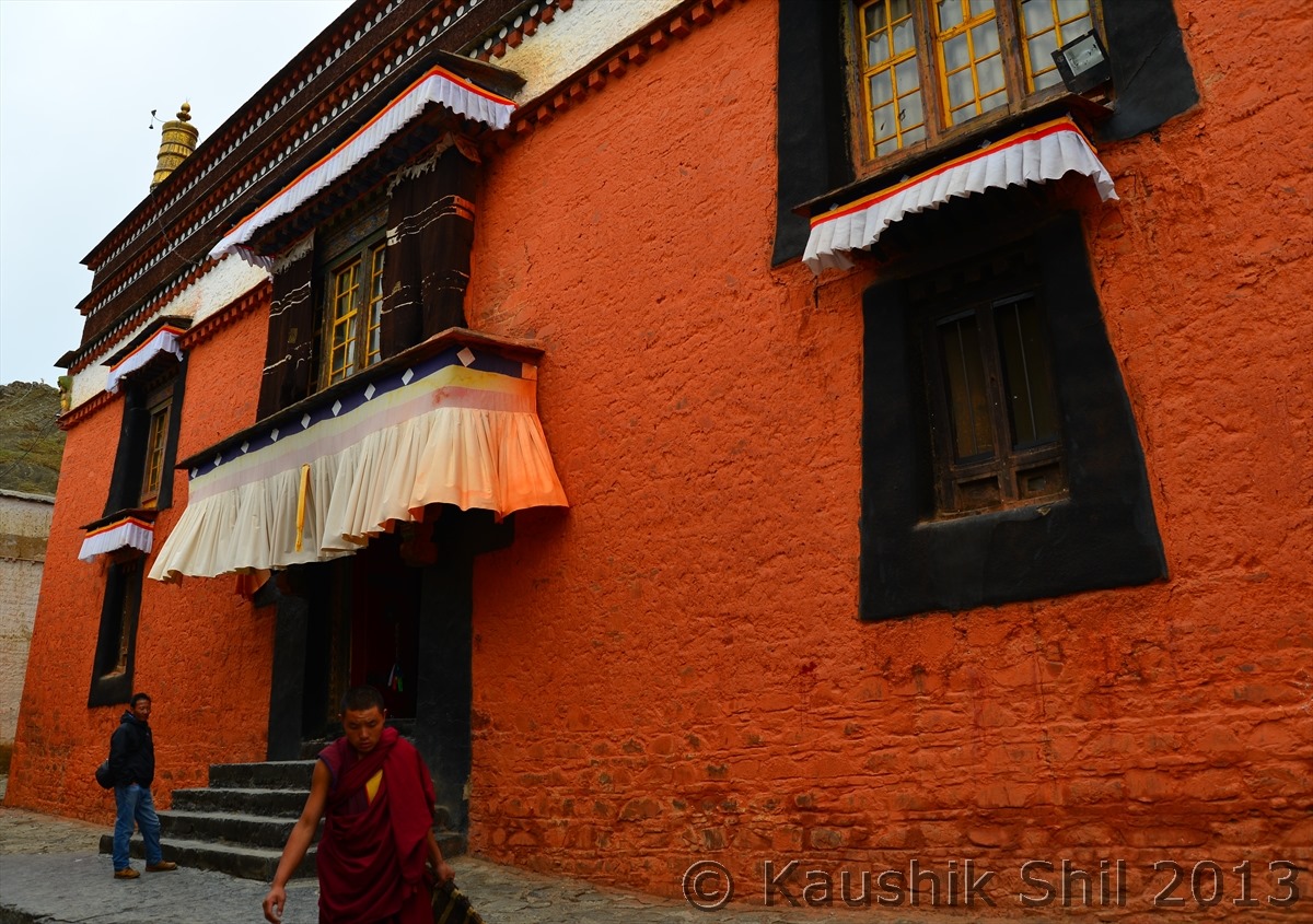
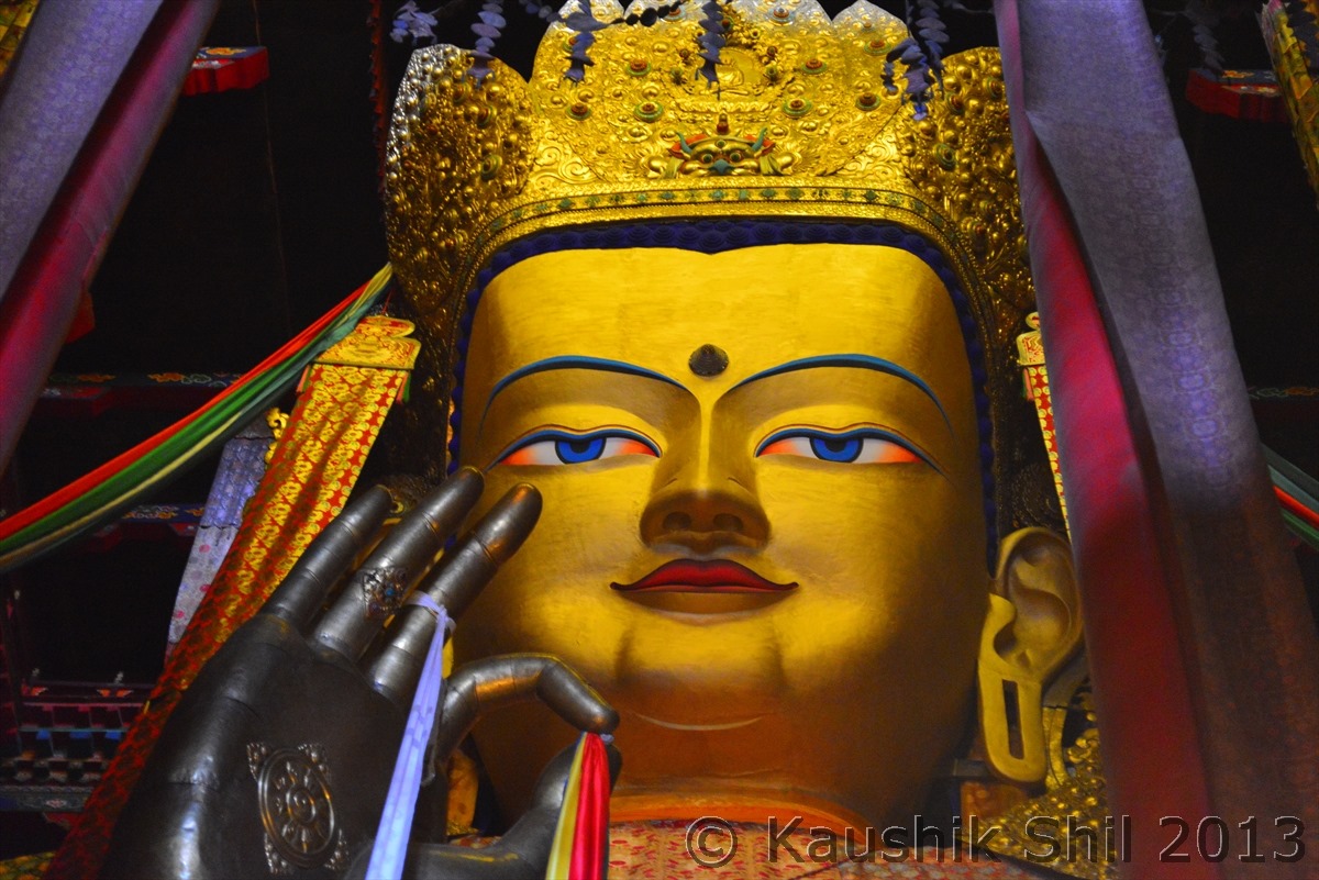
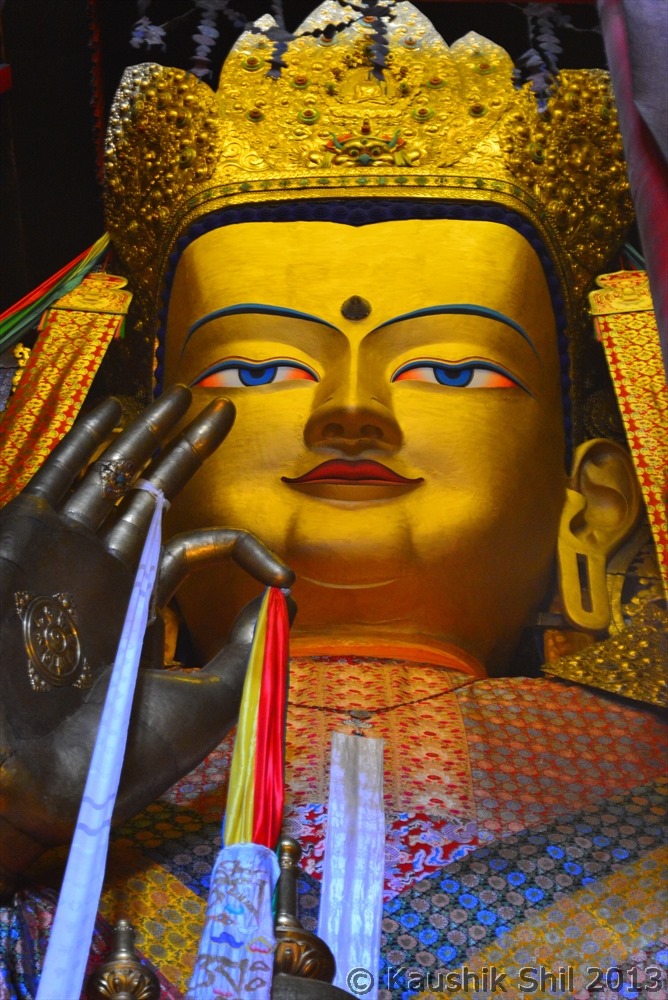
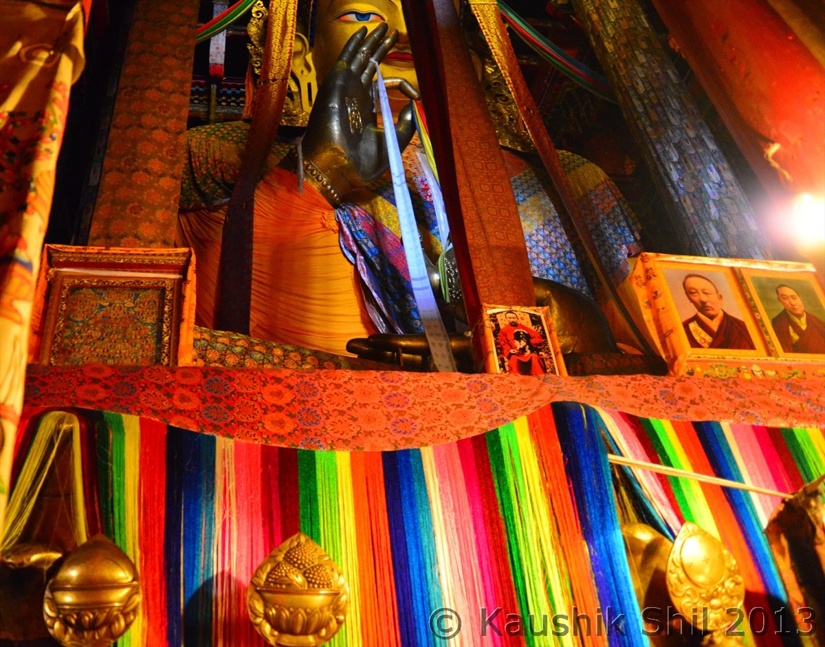
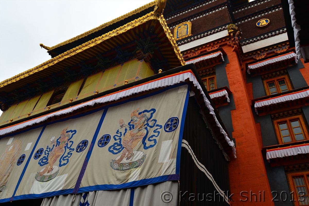
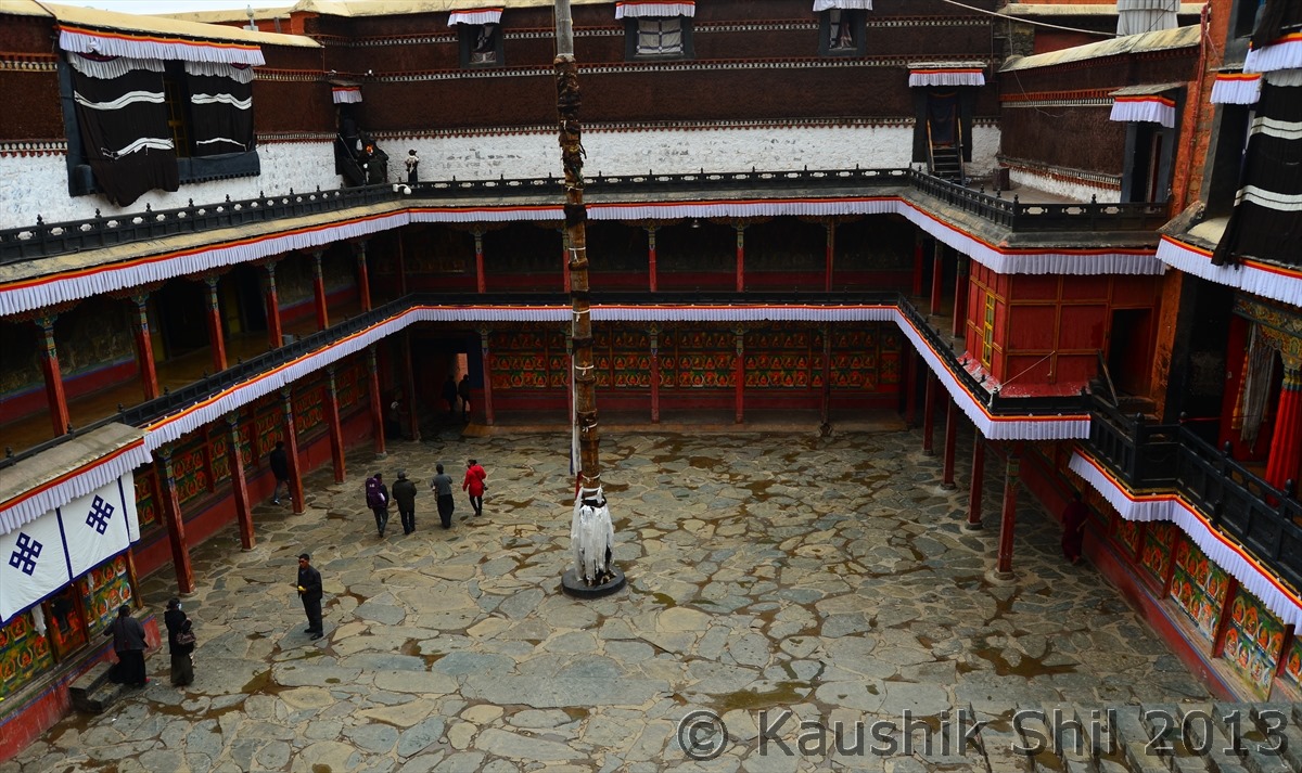
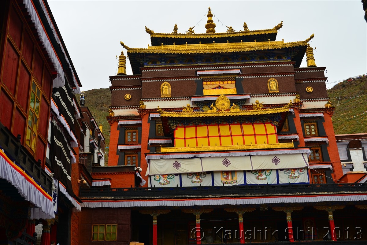
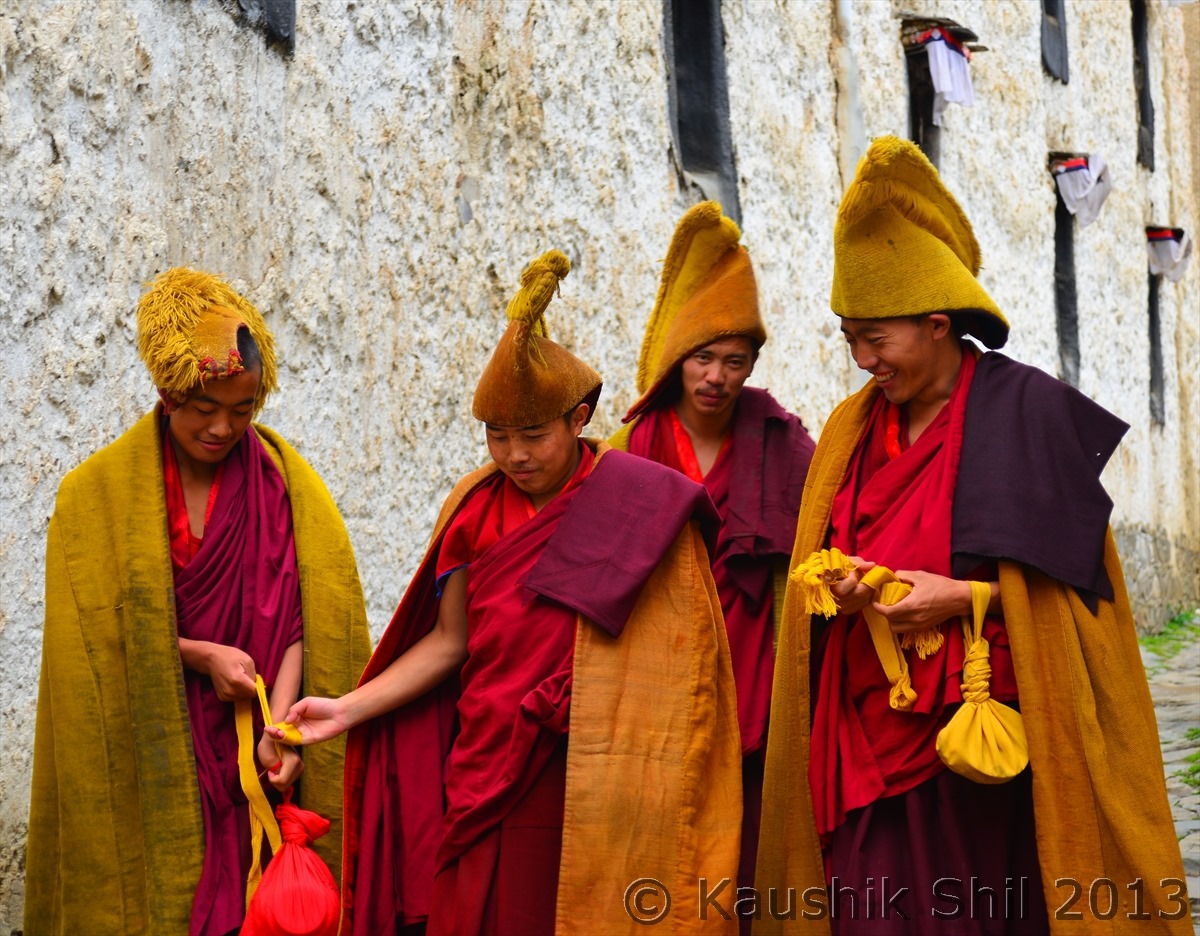
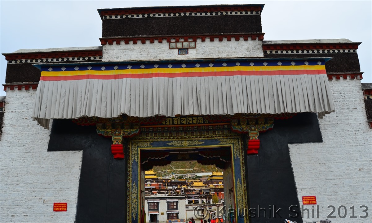
Shigatse is famous for Tashilhunpo Monastery known as seat of the Panchen Lama. This is a large monastic town with temples, assembly halls, living quarters, administrative offices. At it’s peak, it housed up to 5000 monks, today’s Tashilhunpo is just shadows of past, only having 500 odd monks. Maitreya Chapel, the largest building in whole monastery complex houses a 26 meter height statue of Maitreya Buddha which is gold plated, the structure is made of tons of copper and brass, moulded on a wooden frame. This was built in early 20th century by Ninth Panchen Lama and the architecture of this fortress style building would make you amazed. I had to pay 75 Yuan to get permission for photography inside the chapel but with the condition that I could use only one DSLR body and one lens for the entire photo session, strange Chinese way of making and implementing rules . We spent around 2 hours in different chapels inside the Tashilhunpo Monastery before we start our journey through Friendship Highway towards Shegar. We passed through the ruins of Narthang Monastery, formerly known as one of the three great woodblock printing Lamaseries. Further westward we crossed Tso La and due to shortage of time skip of the detour towards Sakya Monastery. In another 30 mins we entered in Lhatse at an elevation of 4000 meter we took the break for lunch. Just beyond the town of Lhatse, slightly towards West, Highway 219 forked out from Friendship highway and crossed the most desolate part of the world through Saga, Mansarovar, Kailash towards Ali and subsequently through the high plateau of Aksai Chin get down to Tarim Basin of Xinjiang. We started winding up slowly on mountain roads towards Gyatso La (5250 meter). Crossing Gyatso La we reached to Shegar (Known as Pelbar as well) and we started experiencing bad weather and heavy snow as soon as we crossed Gyatso La. Shegar’s height was 4350 meter and it was ideal place to acclimatize before you hit Everest Base Camp. We were booked in Hotel Snowland, the best possible accommodation available in Shegar by Woeser and thanks to him, this was a life saver for us. Woeser, unlike other typical tour operators, always chose the best possible stay in every place and helped us to get most out of the most unpredictable tourist circuit in world be in terms of weather or political sensitivity.

Hotel Lobby in morning:

600_5902

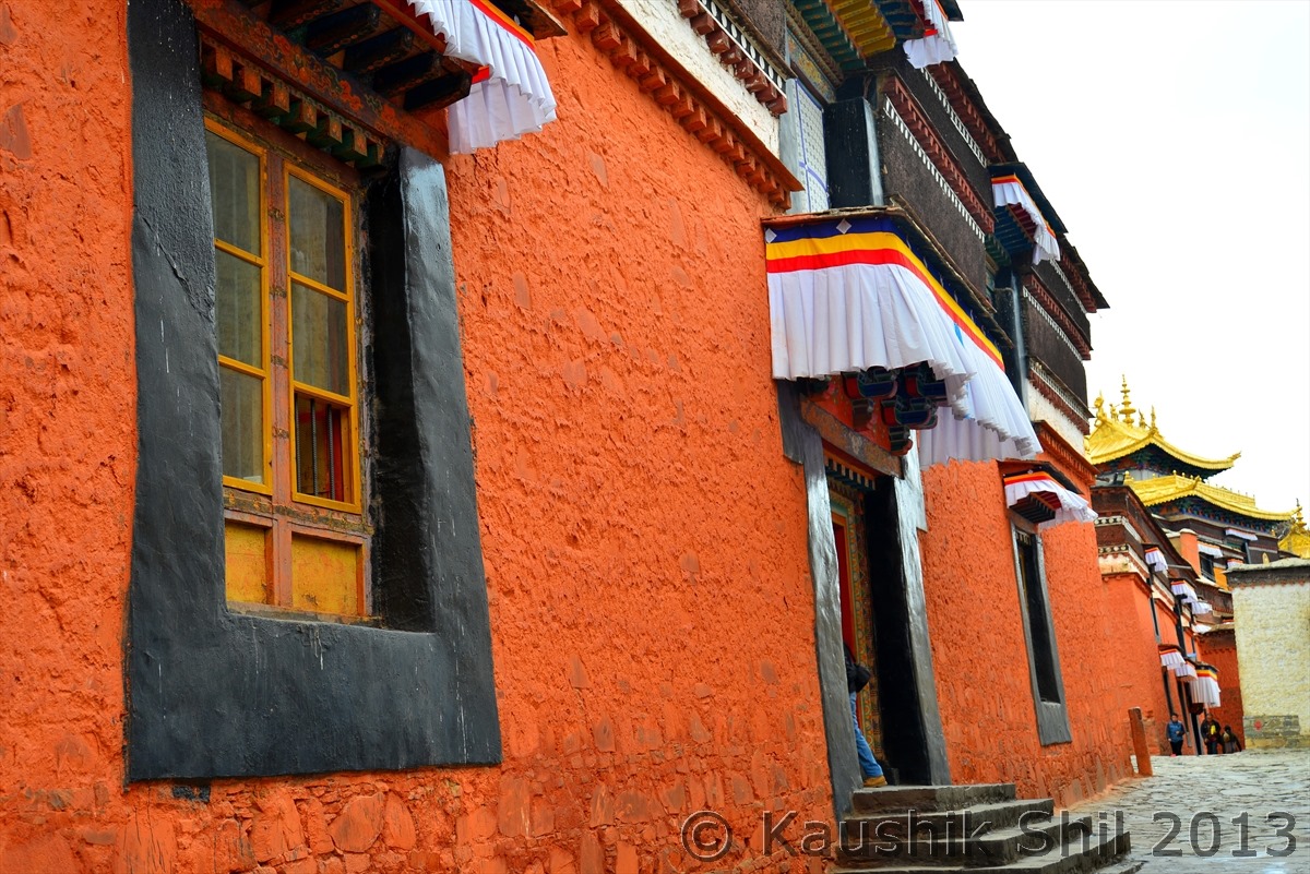
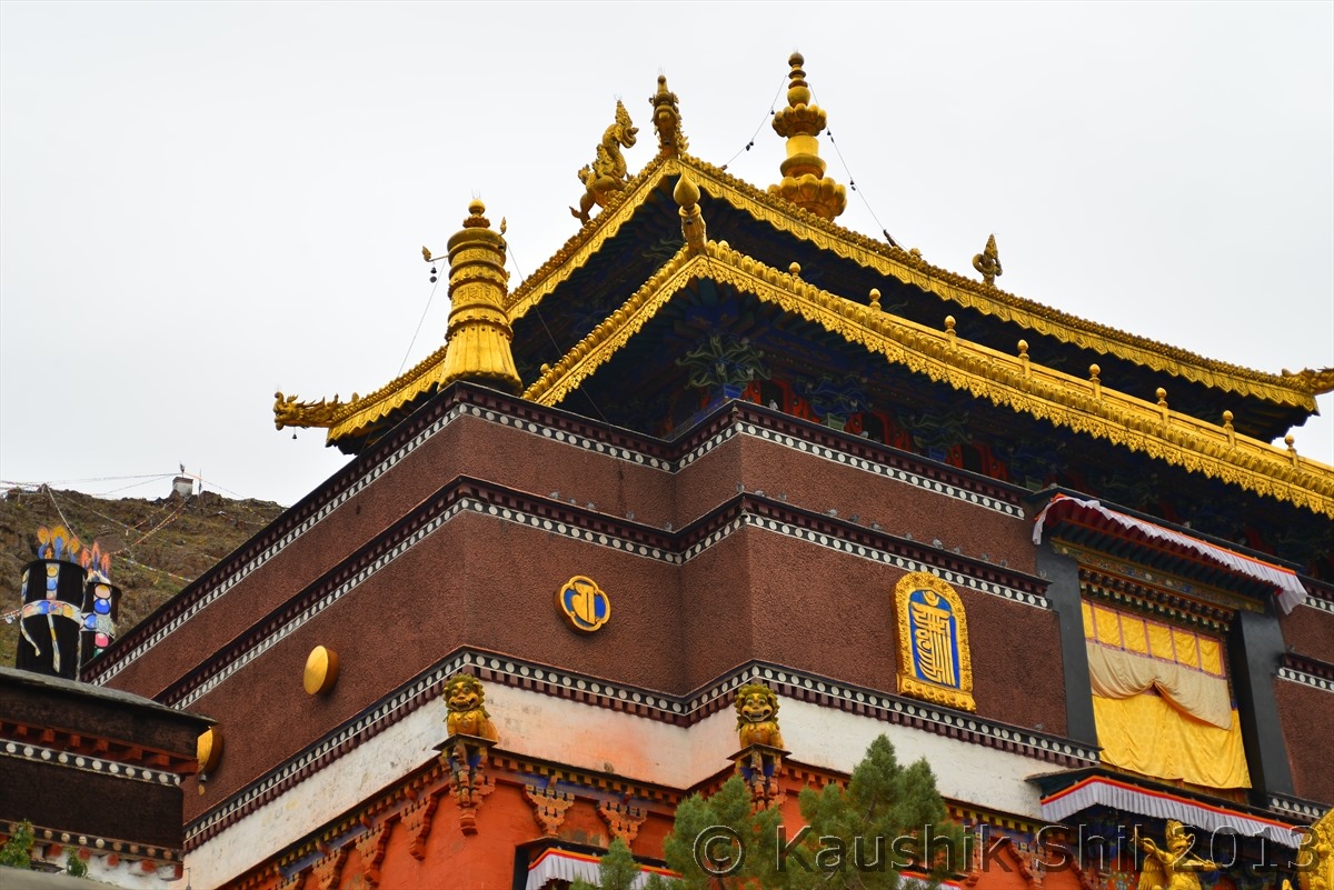
Tashilhunpo Monastery:

600_5911

600_5916

Maitreya Buddha:

600_5920

600_5922

600_5924

Inside Main Chapel:

600_5926

Amazing Monastery Complex of Tashilhunpo:

600_5934

600_5938

600_5946

600_5948

600_5955

600_5961

600_5962

600_5974

600_5980

600_5983

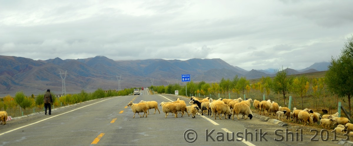
Sheep crossing Friendship Highway:

600_5996

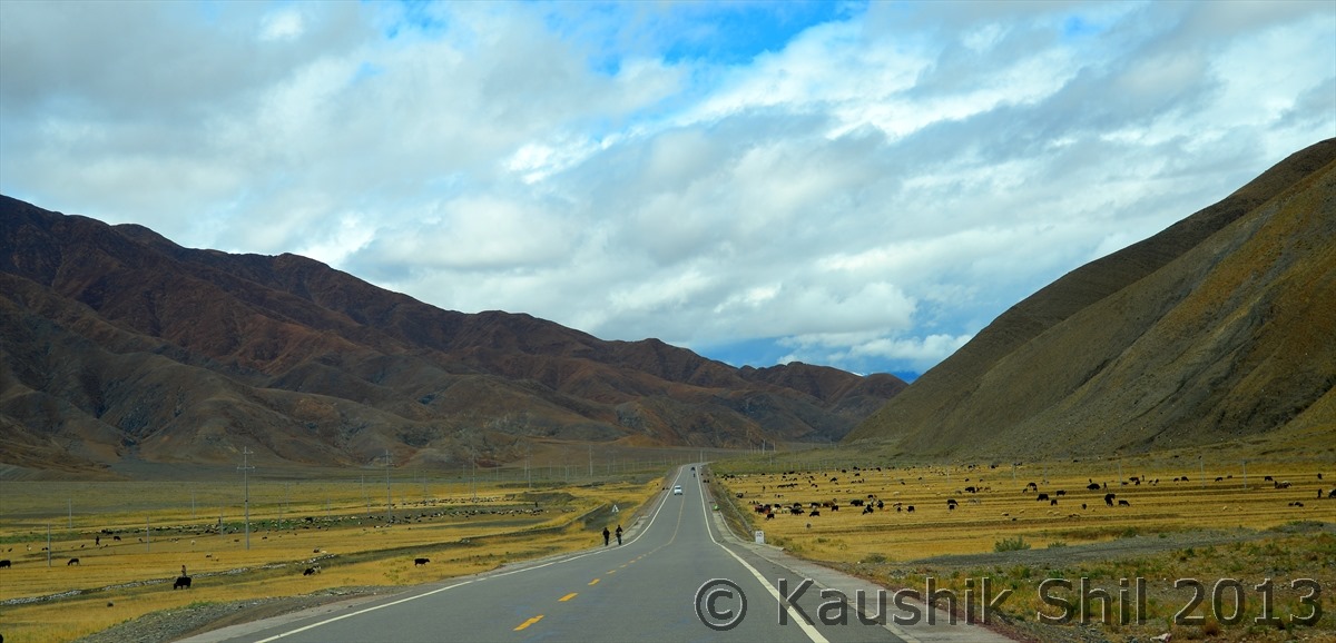
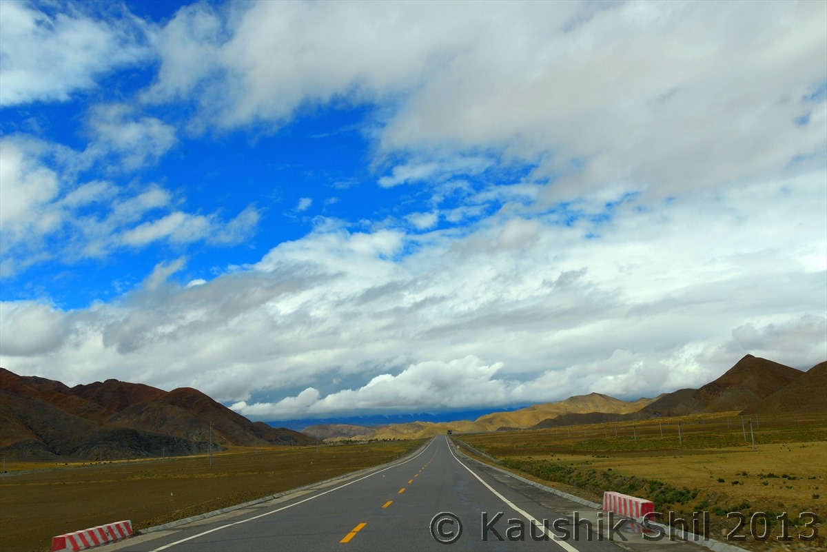
Travelling through Friendship Highway is certainly a life time experience:

600_6027

600_6033

600_6034

600_6056


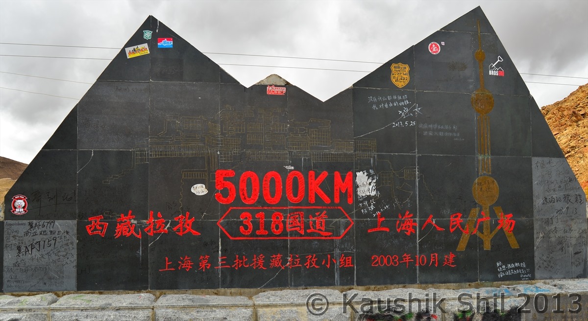
We reached 5000 km from Shanghai here:

600_6089


Previous: Day 24/Part 2

Next: Day 25/Part 2

Xinjiang, China’s Central Asia and incredible Tibet – Things to keep in mind

International Air Tickets: can be purchased from any recommended travel site like makemytrip, thomascook, cleartrip, etc. specially if you are looking to buy China Southern or China Eastern Airlines, Except Air China no Chinese Airlines have any India Specific site (read where you can purchase using INR), else you can go the Airlines sites of US/Canada/Hongkong and check where you get it cheapest after forex conversion to INR. Air China India site doesn’t sell tickets between Chengdu to Kathmandu or Lhasa to Kathmandu for some reason which Air China helpdesk could not explain, if you want to buy any of these scenic route flights your option is to use Air China’s US/Canada website but don’t try to buy them from their original site which is Chinese and accept Chinese card only.
Usually in China like other places, there are 60 days, 30 days, 15 days slab and if you can buy ticket even just before 15 days you get cheap price, but within 15 days makes it double and sometimes triple. Also as I said earlier don’t plan during Chinese New Year and Golden Week Holidays as airfare goes beyond roof during that time.

Domestic Air Tickets: To busy Chinese domestic Air tickets your best bet is ctrip.com, elong.net and travelzen.com These are the 3 very reliable sites to book Chinese domestic air ticket in English and and using visa / master card. Ctrip is biggest and have best deal where as travelzen’s advantage is it’s the only site that doesn’t charge additional 4% when you use a non Chinese credit card. Start following domestic ticket price 30 days before and anytime between 21 days to 7 days before journey you usually get the best price.

Domestic Trains Very popular in China and there are several types of train, for detail refer seat61.com china page and you will get invaluable information. Train Tickets are issued from Chinese official railway site (www.12306.cn) 20 days before travel but unless you are proficient in Chinese and have Chinese Credit Card you can’t use this site. Tickets are on sale 18 days before travel from various stations and city ticket booking office and through agents as well. If you take high speed bullet trains from Beijing – Shanghai, getting tickets are easier but if you try to get tickets of mountain trains from Beijing / Chengdu /Guangzhou / Xining to Lhasa, or some other busy lines, you would find it sold out on first few mins of selling. It’s even faster than what we see in IRCTC here during some festival. So specially for Lhasa train, you need to depend on agent and be ready to shell out high commission (sometimes same as ticket price, that means 100% commission) if you want better class like soft sleeper. During high season, even agent can’t guarantee your ticket in your preferred train and preferred class.

 Few things on Lhasa Train:

1. You arrange your Lhasa Train Tickets through Tibet Agents and don’t try to get it of your own or by other agents as many things need to be coordinated with train journey date and it’s very slim chance you would get the train ticket of your own unless you try in leanest season of Dec/Jan.

2. Negotiate with the agent on commission but that depends on time of travel.

3. Currently there are daily 5 trains between Xining to Lhasa between 15.00 hours to 20:15 hours (Departure from Xining), The later train you take, you would get better view as you would cross most interesting Golmud – Lhasa section in day time. But getting tickets on a later train is more difficult.

4. Usually it’s cheaper and easier to travel by train in reverse direction. So if you fly in to Lhasa and take a train out, availability of tickets will be more, and cost of commission will be less.

5. In China, age doesn’t matter for concession ticket, what they check is height instead If someone is below 1.2 mtr, it’s free, between 1.2 to 1.5 mtr its half price, above 1.5 mtr full price. This rule even applicable for scenic fee entries. In station I heard (not seen) they have measurement tape to measure the height in case of any confusion

 Bus Tickets:
There are lot of long distance buses (sleeper type) available between almost all cities and if you can tolerate Chinese smoking randomly inside bus, it’s an excellent way to save money as bus travel is not very uncomfortable and quite cheap. This also reduce your hotel cost if you can get yourself in a night bus. Bus tickets can’t be bought online, you have to purchase from local bus station 48 hours before journey or can get it through agent.

Local Transport:
Local buses are there almost in all cities where the cost of travel is just 1 CNY where ever you go. Cabs are available but charges vary between city to city, in Beijing /Shanghai it’s costlier than cabs in Kashgar. Remember in Tibet foreigners are not allowed to take a local transport.

Self Drive:
Whatever I read, that self drive needs Chinese Driving License as IDP convention was not signed by China. But big Govt travel agents like CITS arrange the self drive tour (that even includes Xinjiang – Tibet) – China Self-drive Tours
Also companies like Navo is specialized in self driving in China, manages a temporary 90 days China Driving license for tourists but as you understand it’s not easy and straight forward like driving in US and Europe or Australia.

China self-driving tours; foreigners drive Chinese vehicle in China & Oversea

Hire car and Driver:
Hassle free but moderately costly option is a good choice if you can find a local driver who can speak in English, which is extremely difficult to find in any part of China. Most cars go by daily rate which includes fuel, driver’s charge, accommodation, parking, toll (There are lots of toll roads in China). But ice on the cake is if you can find an English speaking driver who can have a guide license. Actually only licensed guides can enter into any designated scenic places and sometimes in some areas, guide is a must for foreigners. But taking a separate guide will cost you a bomb (charges anything between 60 to 100 USD per day just for guide). Somehow I managed to find 2 such English speaking drivers who has guide license in both North and South Xinjiang trip and both were found excellent in their service. I will post details about their contact later but as none of them linked to any travel agency (Just independent driver / Guide) the cost was much lesser than arranging it through an agency.
Thumb rule: Don’t take Chinese Drivers, their driving record is worst in world and also specially if you go to minority dominated place like Xinjiang and Tibet, Local Uighur / Tibetans are better bet as they speak fluently local, Chinese and English (for your case) and have lots of local contacts which is pretty helpful to know situation in advance in a country where information flow is restricted.

Money:
Though agents / drivers / guides will ask you send in advance, I managed to bypass that and didn’t send any advance, sending money to China means even recipient bank deducts 4% bank charge on the amount you remit, in dollar that hurts. Also there is no PayPal and Western Union possible between India and China, your only option is bank transfer which is having lot of paperwork, Chinese visa and travel is so uncertain if your trip gets cancelled, to get your money back, you have to again pay commission to Chinese Bank.
So my target was simple, carry cash, cash and cash!! Many forex dealer like your bank or Amex or Thomascook will try to teach you to be modern and carry a forex card but no one can offer a card that is loaded in CNY as a result you will pay 4% as forex transaction charge each time you swipe that. Also no of visa / master enabled ATM is few specially in remote areas. China is a country where you will face lot of paperworks and processes in anything you do, even encashing TC will be charged 25 USD and a lot of time, your 3/4 hours will be lost to encash 1000 USD.
Always carry Forex in USD which is most readily accepted in China, don’t try to bring CNY from India as that will cost you more rather than converting USD there in China (In China CNY-USD rate is fixed and even in black market if you encash dollar it’s still same) and Chinese Customs is strict on carrying with large amount of CNY. Completely torn bad notes even work (as they say) till it bears the face of Mao. Using black market to convert is easier and very quick but problem is if you convert more than you require and need to get USD back when returning you need another black market to do it as without proper receipts no bank will change your CNY to USD.
Credit Cards are used only in big cities and big hotels, otherwise, master / visa card is not much use in remote china.

Connectivity:
Most hotels have wired network, few have even Wi-Fi. But configuring it not easy even for wired, plug and play doesn’t usually work and the instruction written in room/ modem all will come in Chinese which you won’t understand, if you call someone in hotel, he won’t be able to read English in your screen, so depending on that is little difficult and unpredictable.
I carried a Chinese Data Card available from Matrix and it worked nicely and saved me many situations.

Mobile
Your international roaming will be too costly, getting a Chinese local SIM is easy (though need some paperwork in sensitive areas of Xinjiang and Tibet) but worst is their bill plan works only in City. So if I buy a SIM in Urumqi, it will start roaming just outside of it and many times won’t work at all. Best is to get SIM which works across whole China, though that is not easy to find, so again I chose Matrix and though charges were little higher than getting local prepaid SIM, it helped me escaping lot of hassles. You need a good mobile as sometimes our driver left us on road to park and then we had to talk 15 mins over mobile to find him out because you won’t be able to tell your exact location as everything around you is written in Chinese.

Others
Good to have a health insurance if you are in a long trip to China but later I saw in my Bajaj Alliance insurance, in fine print it was clearly written “Tibet is not covered specially Mansarovar Yatra”
If you are very social and can’t live without Facebook or may need Google or some of your favorite site, 90% chance you will see they are blocked in China. So you need a temporary subscription of some VPN or Proxy Server which will route your browsing through some servers located in Hongkong or US.
Take all your important document printouts in Chinese, like your name, your details, etc. and documents like Air Ticket, Hotel Voucher etc should be printed in Chinese, we were almost missing our flight as we didn’t care for this. You will rarely get someone even in an Airport which is 3 times bigger than Delhi T3 where people can read or speak English.
So with all these in our tiny heads, we started the trip on 20th September from home to catch a Kolkata – Kunming Flight of 21st Sep, early morning (12.30 am).

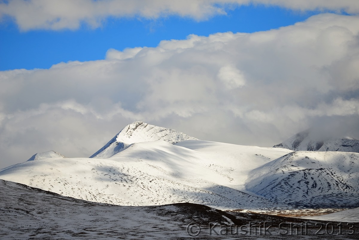
Approaching Thong La, through which Friendship Highway crosses High Himalayas, Can you spot the Kiyangs:

600_7219

The below road, can you identify? That’s going to Manas Sarovar, Mt. Kailash:
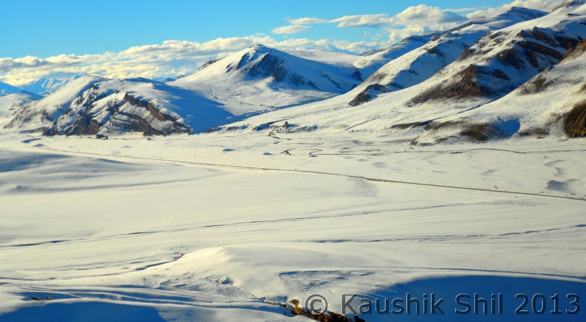
600_7265

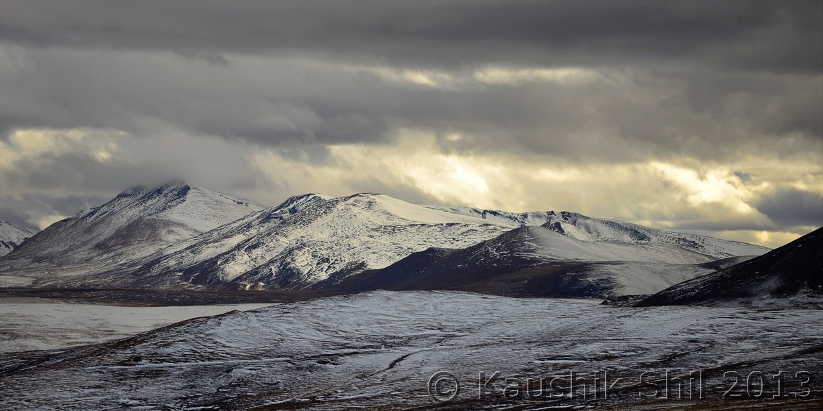
Seems Heavenly:

600_7286

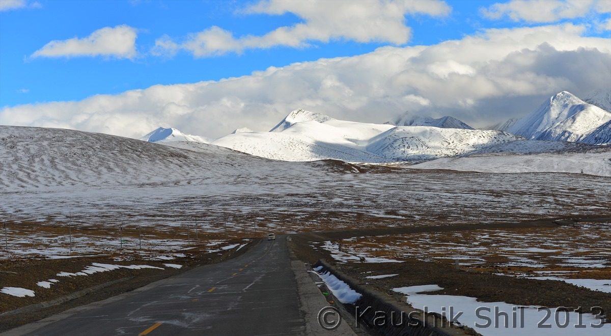
After Cyclone Philin the snow was so heavy, Chinese machinery took 72 hours to open just one lane of the road :
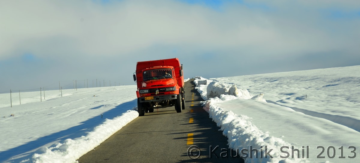
600_7308

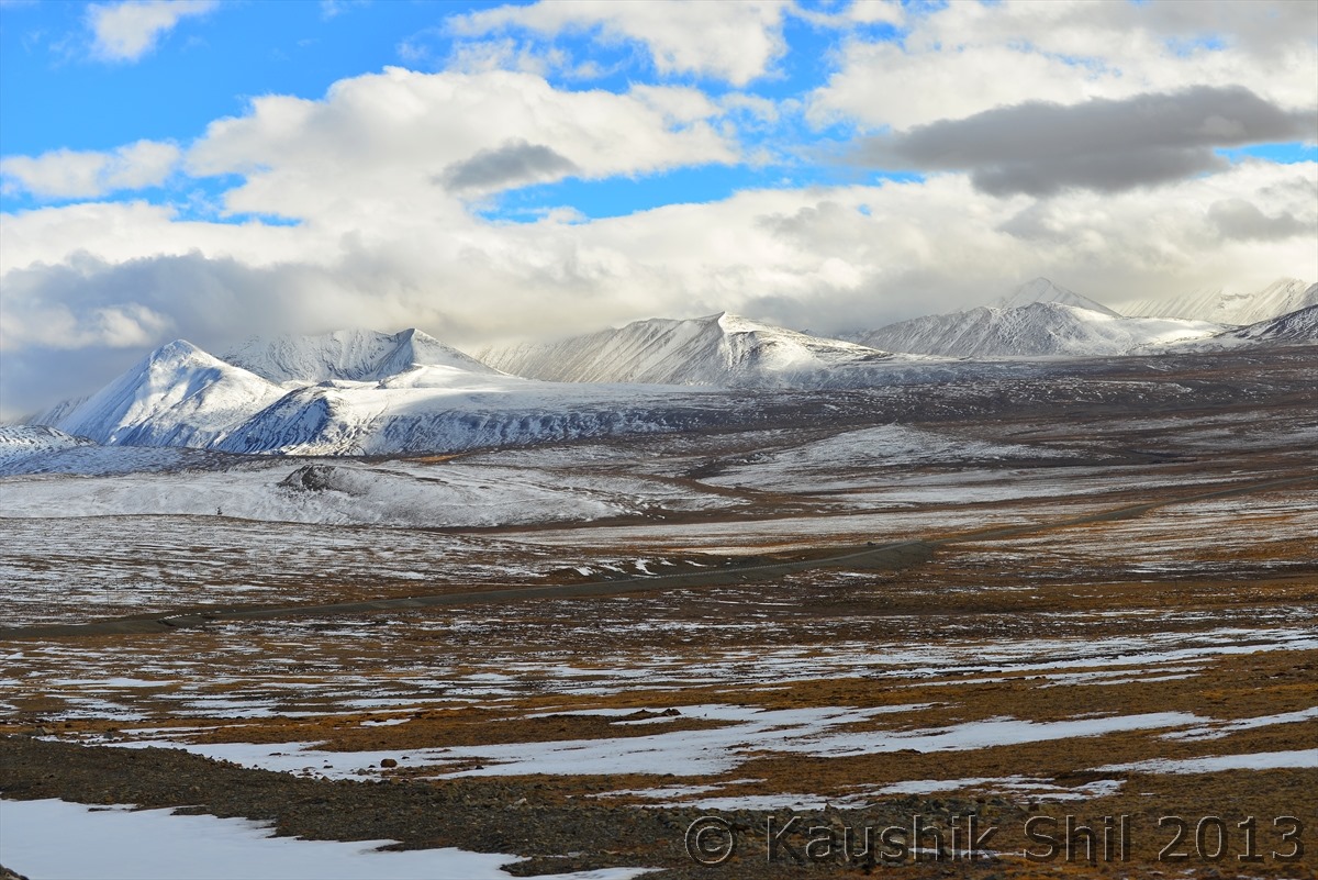
Thong La around 5500 mtr:

600_7344

Inside mighty Himalayas:

600_7471

Never seen a sunset in Himalayas sitting on top of it. Unbelievable!! :
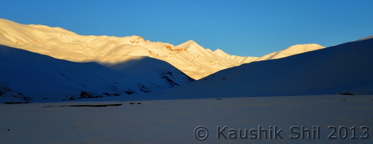
600_7443

The Border Town between Nepal and China (Tibet) at last, in Chinese Zhangmu, in Tibetan Drum. The landscape changed drastically with more green and height is now just 2250 mtrs
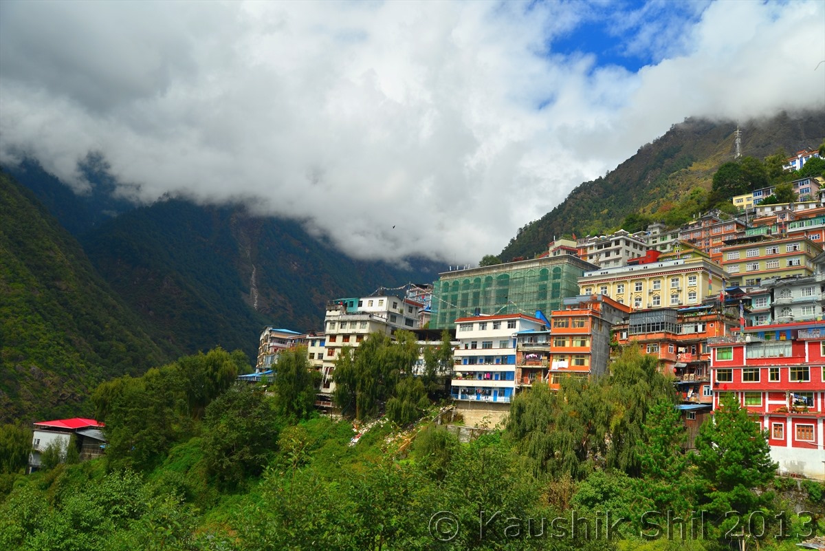
600_7635

First View of Kathmandu where our epic journey ends as we catch flight back home from here:
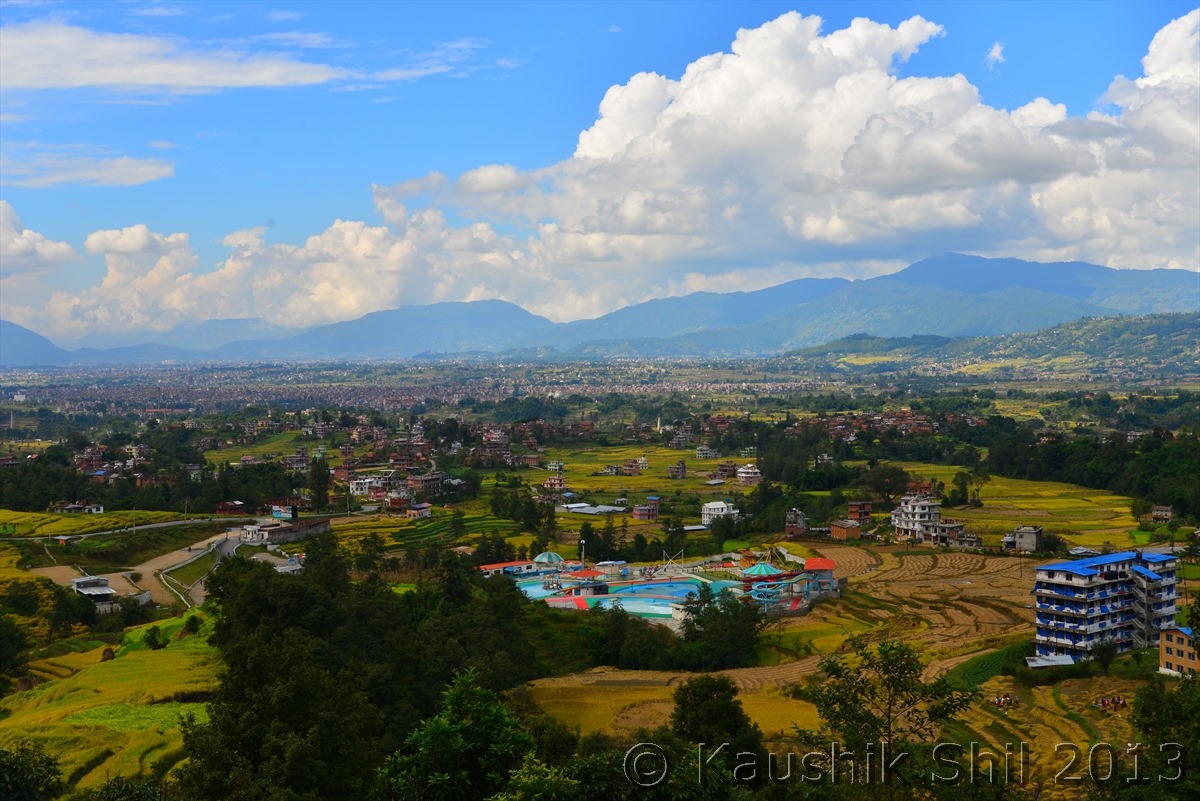
600_7768

Previous: Visa and Flights to China

Next: Day 0, 1 and 2