5th October:
We were ready with another adventure filled day ahead of us. Harsh was of great help with details of this stretch but we were still skeptic with if we really could manage to find our roads to Tsomoriri via Chumur. We started early by 8.30am on that day and plan was to take Hanle – Kyun Tso – Salsal la and then reaching Chumur and tracing back the path to Tee joint as mentioned in Harsh’s map and back to Tso moriri via Charchaghan la. We had few concerns, if we could manage Charchaghan la if it was still not blasted, if we could find the road without any GPS/Compass and if we turn back, could we climb up Salsal la as it was pretty steep as reported in Harsh’s log. We had plans to take the Kyun Tso – Nidar – Nyoma route as backup if we couldn’t find/ manage Tsomoriri route, but then we knew we didn’t have the names of Nyoma / Mahe/ Sumdo mentioned in our permits. Not having much choice left, we had to start, only hope our luck, it was surprisingly favouring us all through the trip.
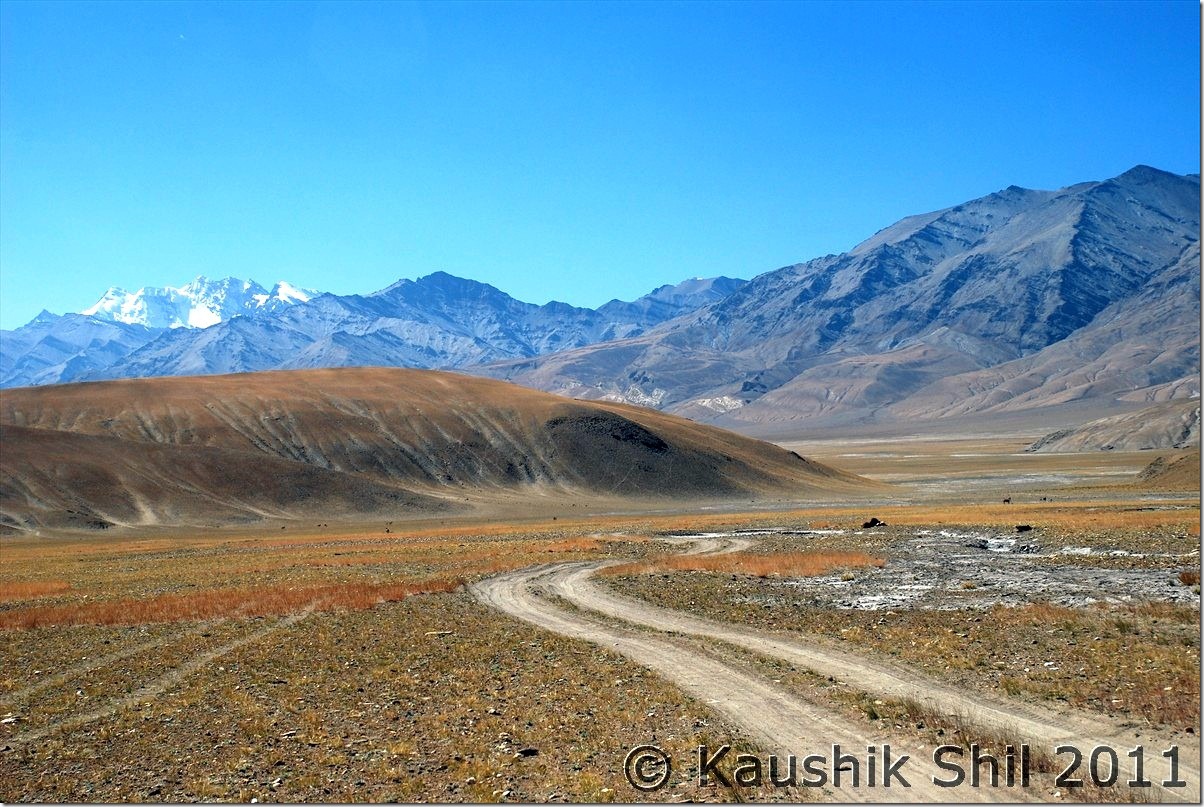
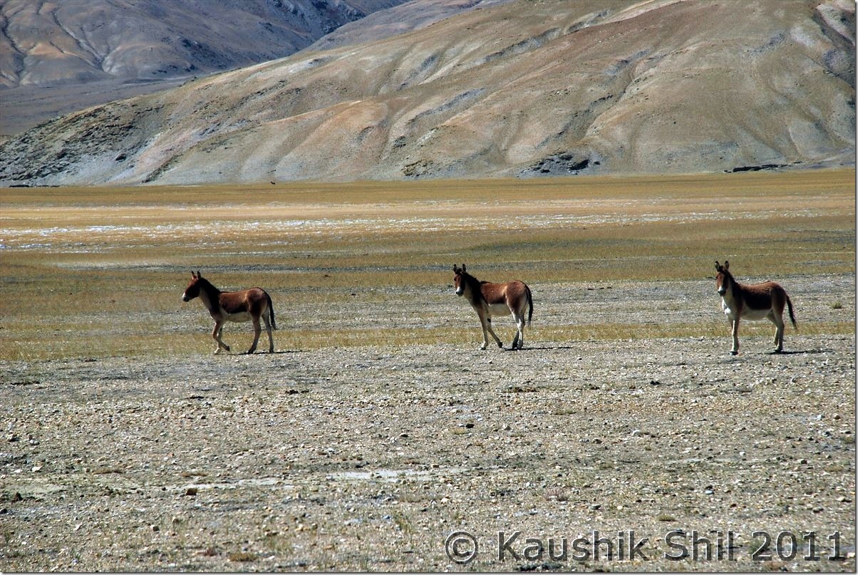
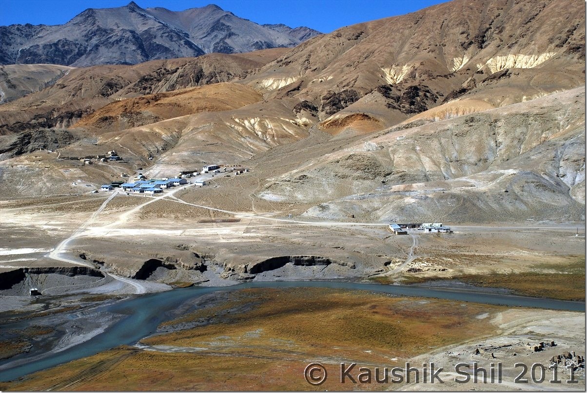
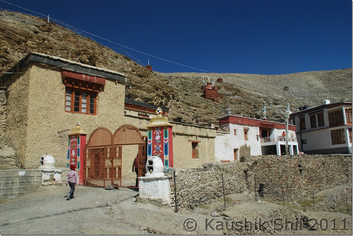
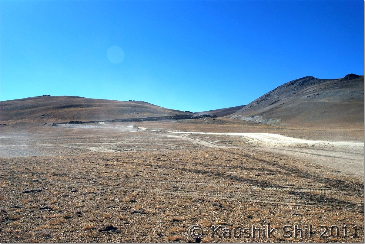
We came to main road from observatory GH and took a right straight away to the village (left would take you towards monastery and the junction of Photila/Loma roads). Soon after crossing the village we found a lot of black neck cranes and it was a pleasure to see them from so close. Soon it seems we were entering a no man’s land, only directions are the poles as Harsh mentioned in his log. Few extremely difficult stretch of washed out areas and we were into a desolate Himalayan terrain with no soul around. In just 2 hours with 45km of drive we discovered Kyun Tso. It was a pleasing site. We stopped for photo breaks and just before this we found a track in our right towards Nyoma. We headed straight and in another 6 km we found the dramatic descent of Salsal la. It is a frightening sight, God knows how Harsh climbed it up from other side but best part was the road now blasted and the new road’s gradient was much smoother and in case we had to trace back the route, we could climb it up again. We gone down below and after crossing a small Nalla, we suddenly lost the pole markers. We tried our best to find the correct route, we couldn’t. Our only option was either to follow tyre tracks forward or to be back via Nyoma. We trusted our lucks and praying hard but decided to go forward. Soon we were brought into a large green pastures of land with many sheep grazing. We were little hopeful with signs of lives around. Kiangs were roaming and big snow peaks all around, a true remote Changthang feel is what you would get here. After another 10km, we found a place towards right and identified it as an ITBP camp. It was the Chumur ITBP and we saw the Nulla without Bridge at right too. We were already at the side of the Nulla where Chumur village is and realized the actual road was coming from other side of Nalla which we lost in the middle after crossing Salsal la. We visited the monastery which was behind a mountain and a small pass. Lamas were friendly and they showed us mummy and the cut off hands of witch those were the special attractions here. A new road was built below the monastery towards LAC mainly for military movement and villagers reiterated Chinese incursions happened there on 25th August. It was another 12km from the monastery where the Chinese army destroyed our unused bunkers. We had quick visit to the monastery and when asked about the road to Tsomoriri we got mixed answers. We heard road to Tsomoriri was in a very nice shape but when we asked about the point from where Tsomoriri and Salsal la road bifurcates, the monk answered calmly “You can’t manage to find it without a GPS” I was shocked but then he said, I had to cross the Nalla towards ITBP Camp and then take the straight road to right and ensure I shouldn’t divert towards Salsal la but neither of us had an idea how to ensure that. He mentioned if you could cross the Nalla, you would almost reach Tsomoriri, I asked quickly what’s the problem in crossing the Nalla, he said it’s difficult to cross after 2.00pm. It was already 2.00pm by then and we hurriedly proceeded towards the ITBP. From top what we saw was not encouraging, the place where the tyre tracks could be seen was at least 30 ft wide and it was flowing in full rage. We couldn’t guess the depth even as it’s appeared to be deep with blue clear water but so turbulent we couldn’t see the anything below. First time we felt we had to retreat here. Regzin tried in various ways to guess the depth but of no use. Honestly we were scared as retracing the whole road means uncertainty as we didn’t know how to go to the Tsomoriri road from Salsal la. Regzin aligned the Scorpio with the tyre marks and he was clearly nervous too. We gone back 50 mtrs and then he gave the final push, for few seconds we clearly felt we were drifting and then in the momentum we came to the other side, unbelievable experience but we crossed and in the whole trip we haven’t scared more. Regzin took a break to check if water gone into any filter/engine but fortunately it was all okay. We started our onward journey through Chumur ITBP, no one there asked any questions and we soon hit a deserted stretch with sands all around. The poles appeared again but the sands were unbelievably sticky. With every 200 mtrs we had to stop the car and clean the wind screen, rear windows, mirrors to get the minimum visibility. Every time we were stopping we were risking of getting stuck too as sand was too soft. It was a horrible time and worse was we didn’t know if we were in right track, only hope was the poles were still there. Soon beside the poles we found some red flags as markers too, running almost parallel but that was adding confusion, couldn’t understand what were those markers for. Soon we realized that’s the alignment of new road that is coming from Tsomoriri and we were overjoyed to realize that we were in right track. After few more km we started finding the new roads approaching to Chumur. It was simply a 4 lane highway and surely looks much better than current Leh-Manali or Leh-Srinagar highway. With a pleasant surprise we took the new road and it was still an unpaved road but blasted and properly leveled one. Soon we understood Charchaghan La was properly blasted and we reached the top soon. Once descending we got some amazing view of Tsomoriri which one can’t get from Korzok end. Couldn’t take snaps well as we were at eastern end of lake and sun was on western sky. Finally we reached Korzok by 5.00pm but surprisingly found the whole village was packed with Bengali tourists, we were hit by Puja rush for first time in our trip, forced to get the last tent available in only tented accommodation there at a bargain price of 2000/- for double with kid. But we were told they would wind up on 6th and if we wanted to stay further we needed to find some alternatives. The night was absolutely chilling and windy and we decided to move to Leh on next day as accommodation was really difficult to manage, so late in the season. I had 2 backup days then initially planned for Leh – Manali but after such a hectic trip we decided take complete rest and then to fly out from Leh.
The car odo reading was as follows:
Hanle : 844
Kyun Tso: 891
Salsal La (17200ft) : 897
Chumur: 933
North end of lake at Bridge: 010
Korzok: 020
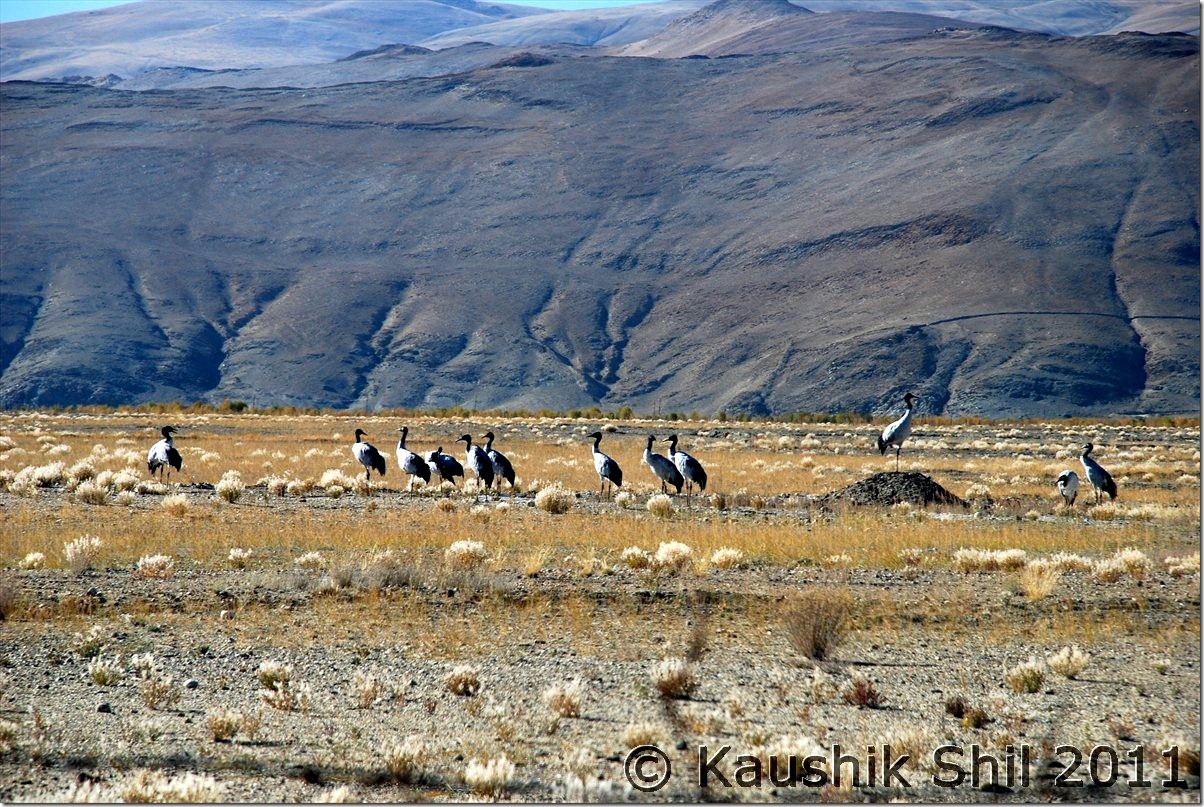
Black Neck Cranes near Hanle Village:
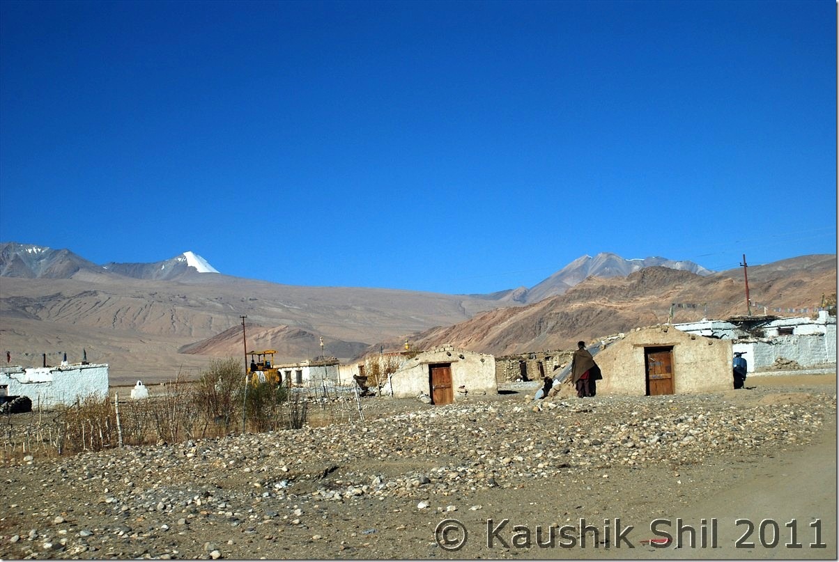
Hanle Village:
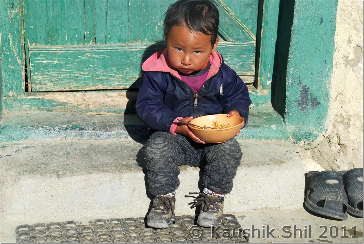
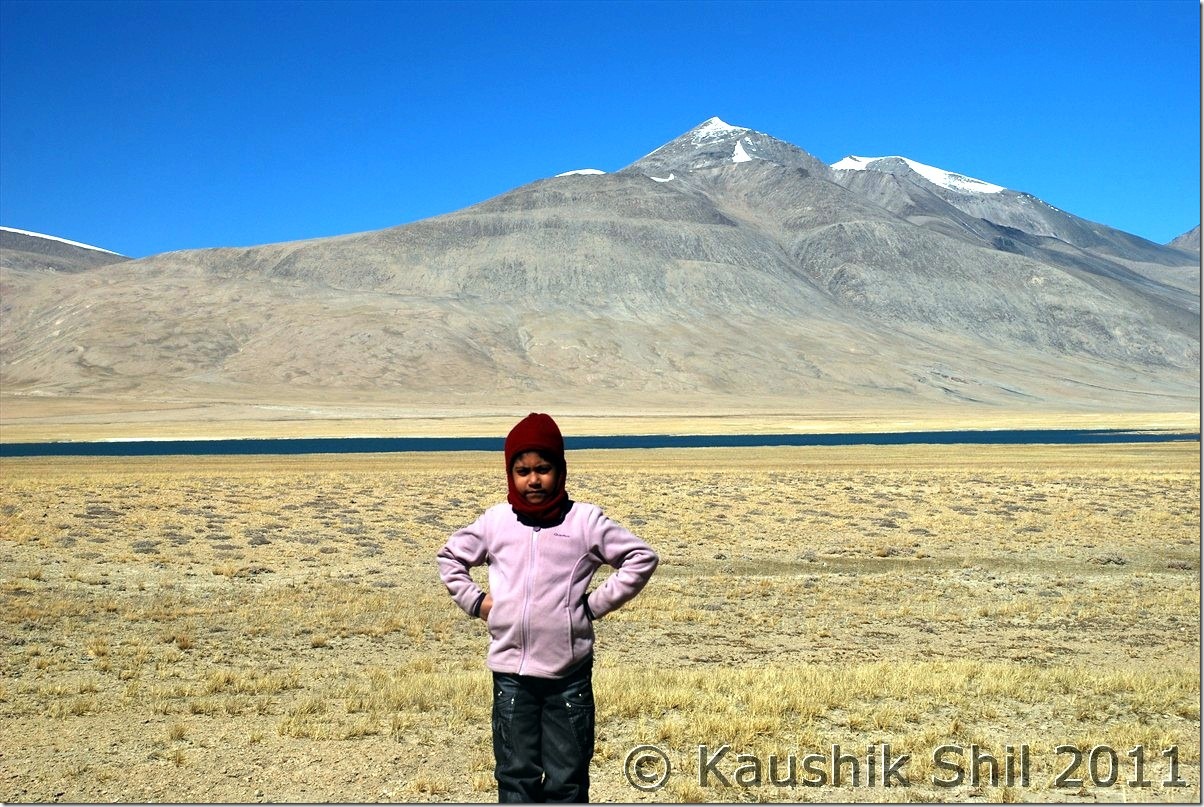
Smart Kid at Hanle:
Kyun Tso
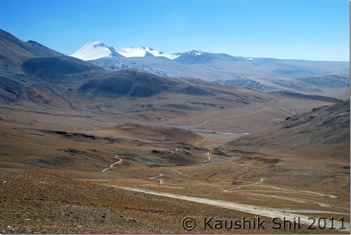
The Dramatic Descent from Salsal la towards Chumur, blasted road at left and old road at right:
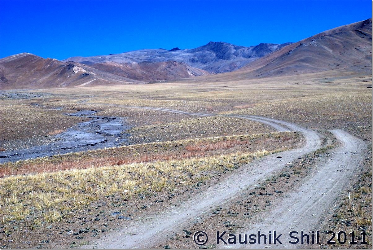
After this we lost the pole markers and tyre tracks lead us to a grassland:
Only living being apart from us were these Kiangs:
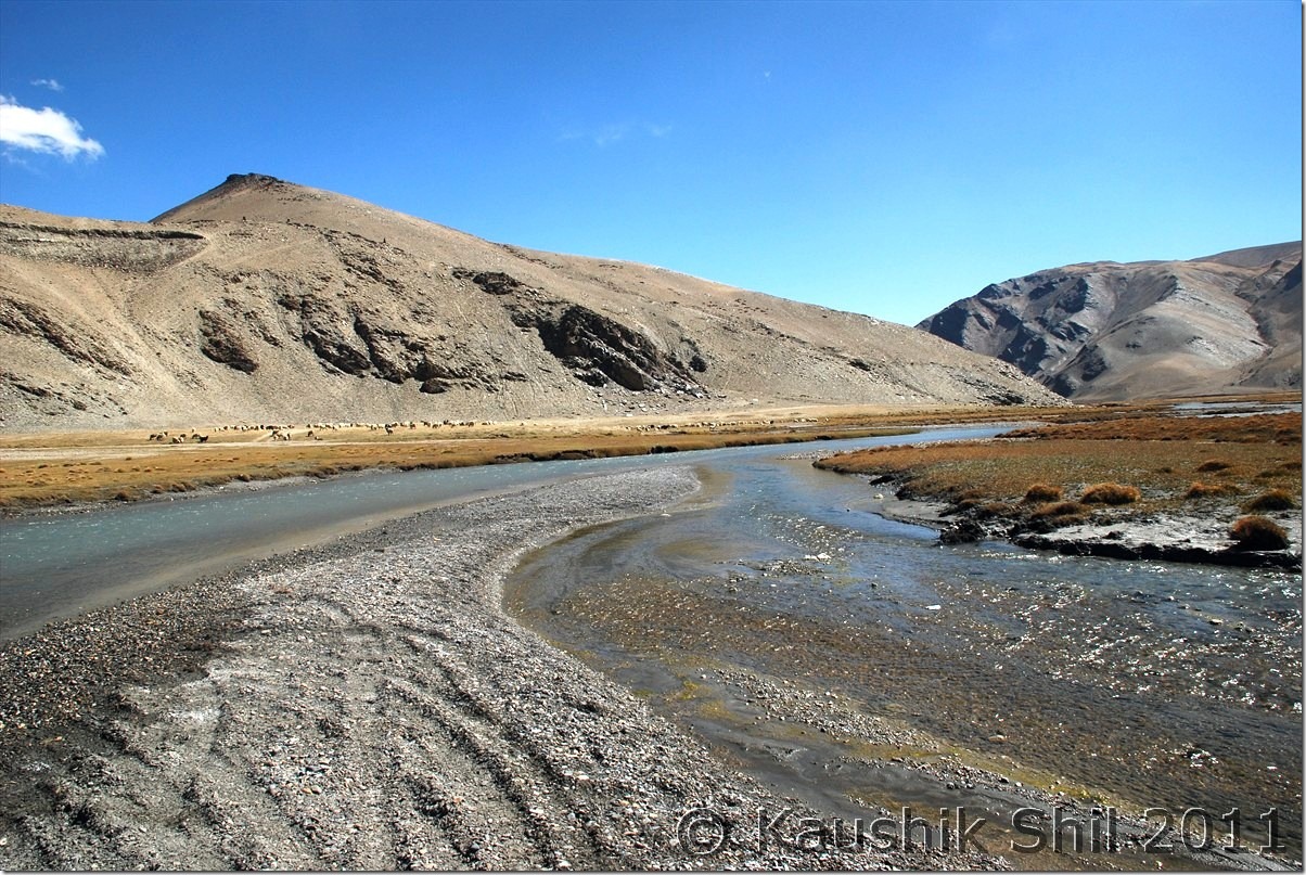
Here we identified Chumur ITBP and realized the actual road was on other side of the river, we somehow came here by loosing the actual road but now after Chumur we had to cross this:
Chumur Monastery:
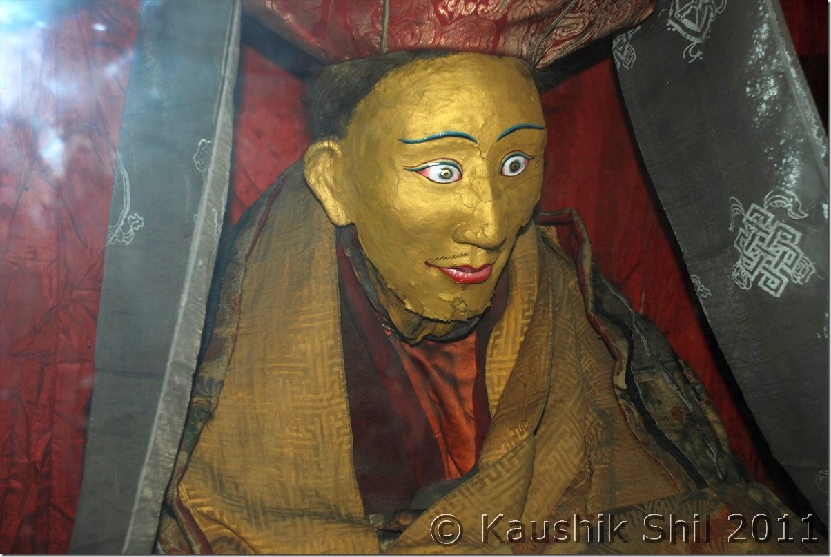
The mummy of Lama at Chumur, the one we saw at Giu in Spiti was more realistic looking, here they painted the mummy:
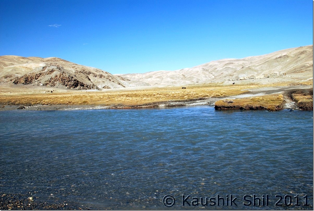
We had to cross this Demon to reach Tsomoriri from Chumur, it was very scaring:
It was really big and fierce one:
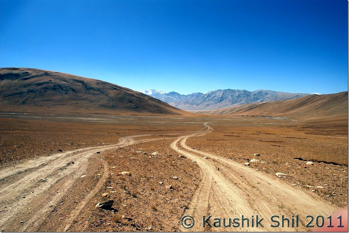
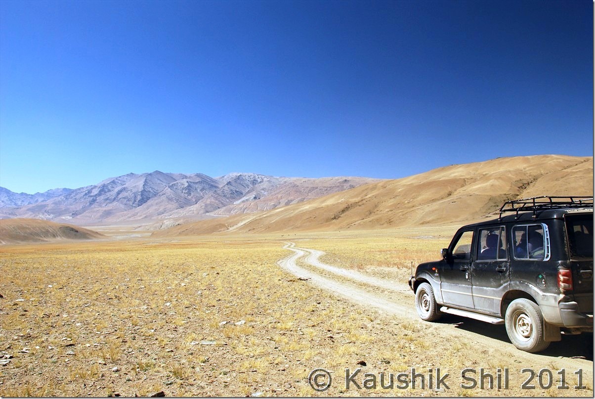
Absolute remote Changthang:
Now holding the nerve and following the tyre marks were key, we had no GPS or Compass, which one must carry here:
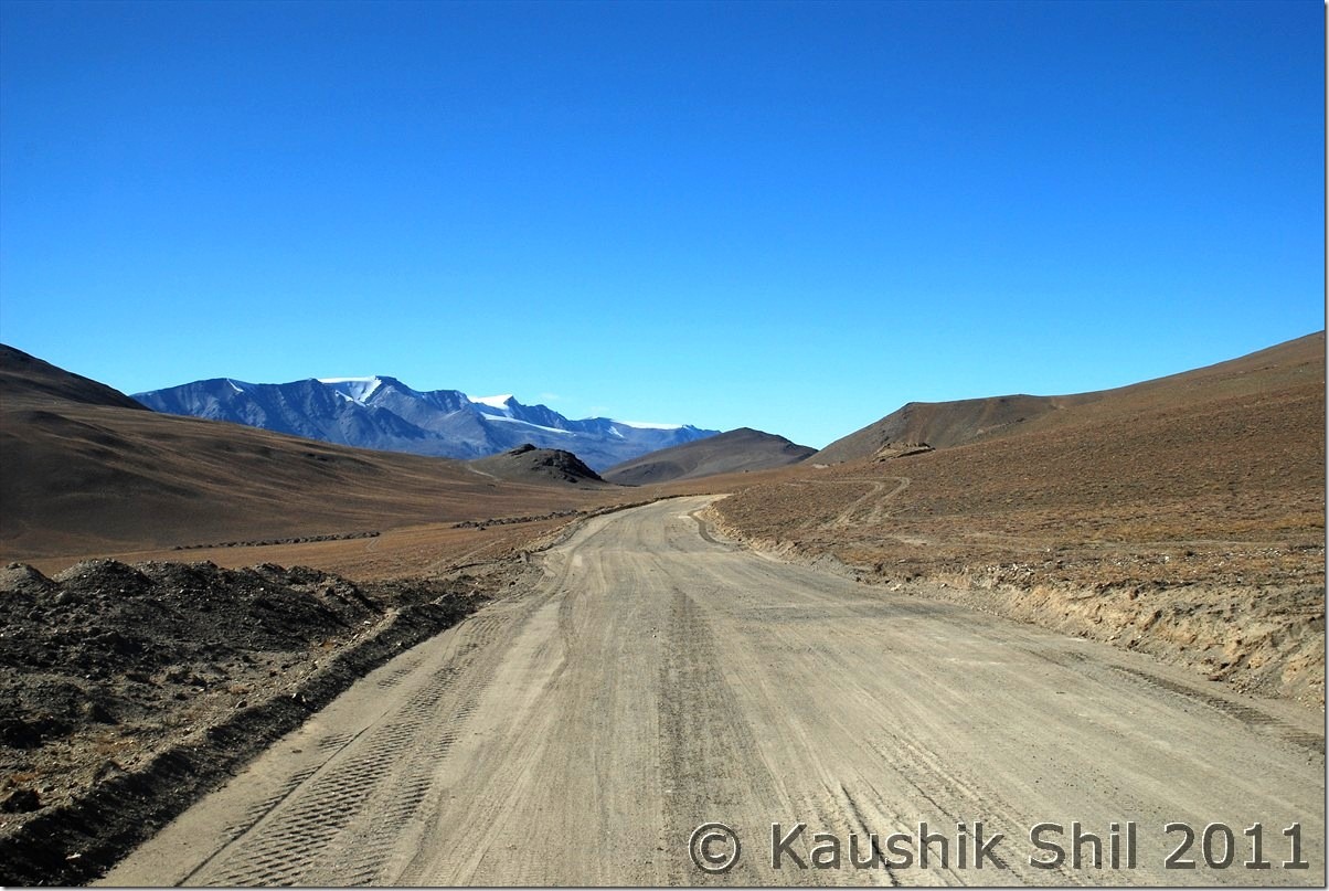
At last we got the blasted new roads to Tsomoriri via Charchagan La, it was a nice wide road:
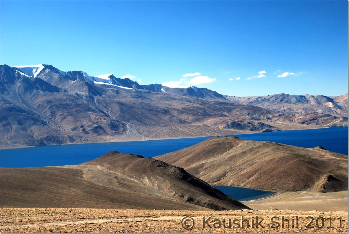
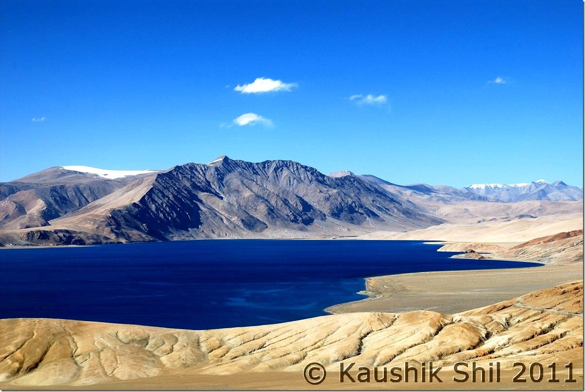
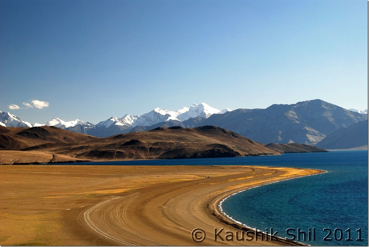
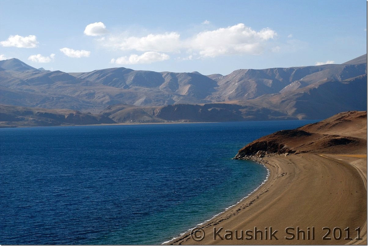
Amazing Tsomoriri all the way towards Korzok from Charchaghan La:
Previous: Ladakh – Merak, Chusul, Hanle, Koyul and Demchok, the last point on LAC between India and China
