24th September:
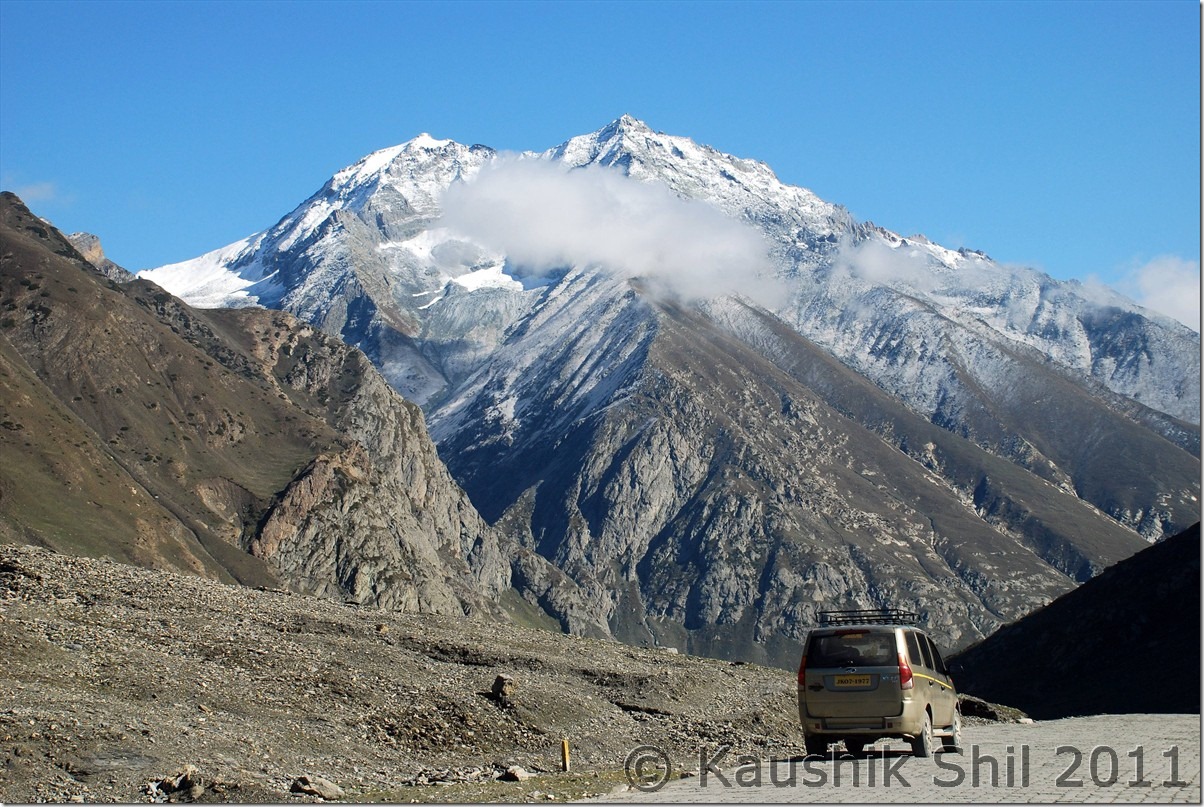
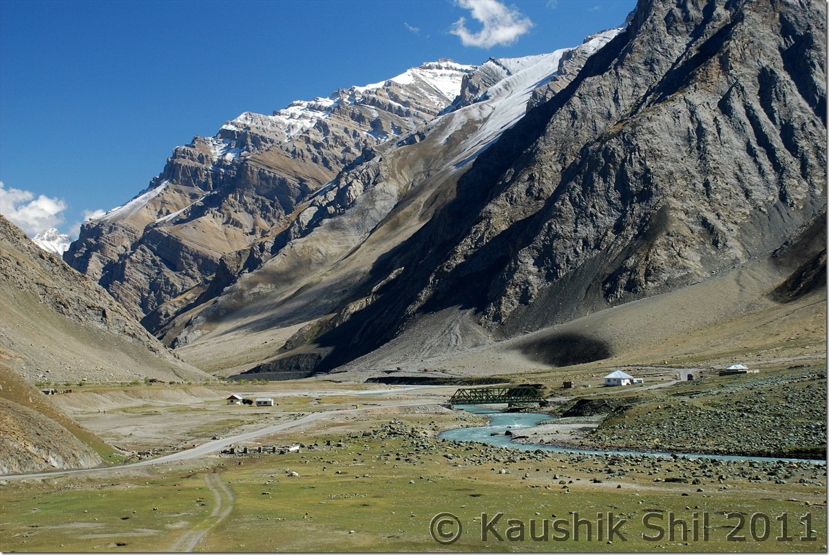
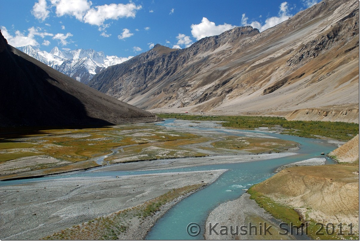
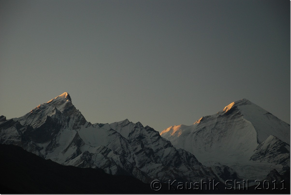
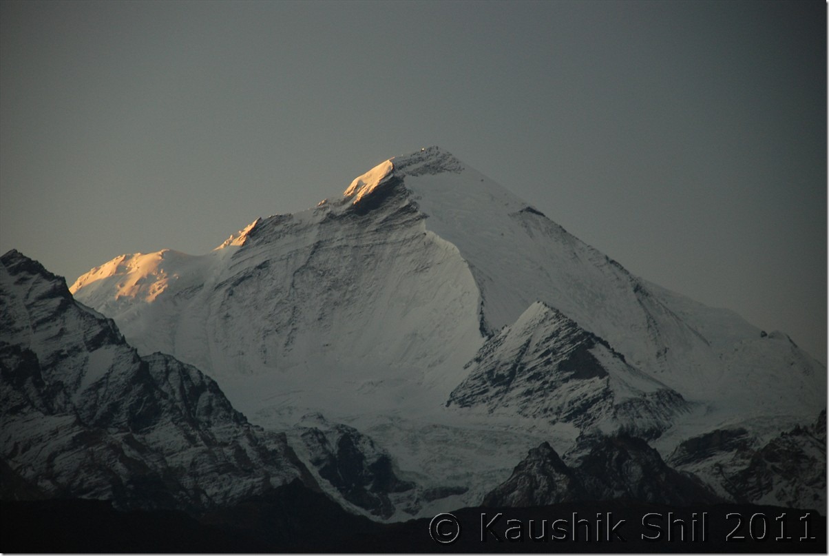
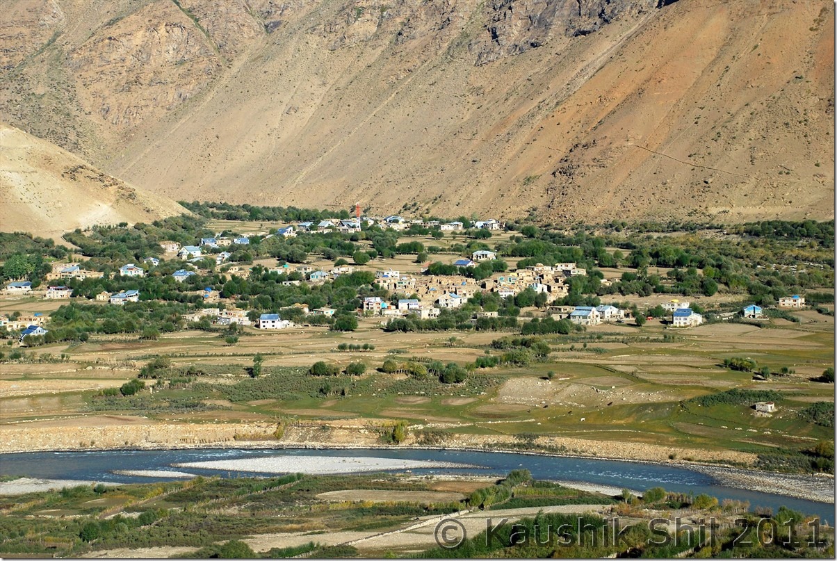
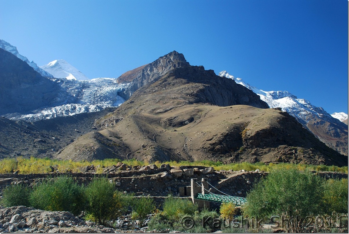
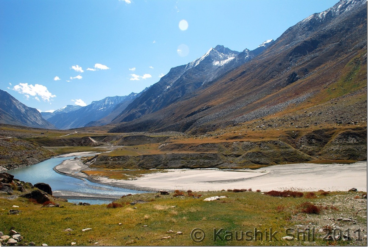
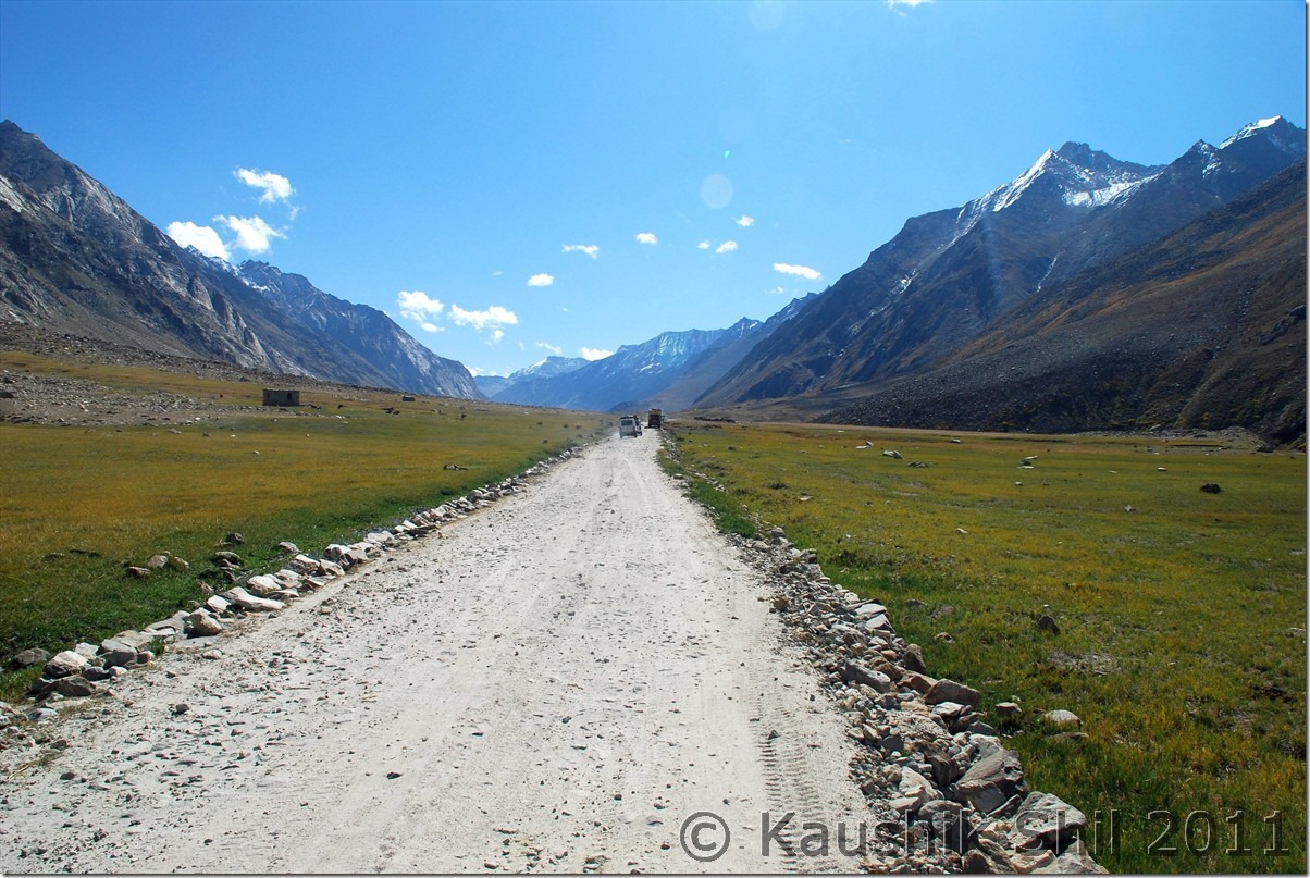
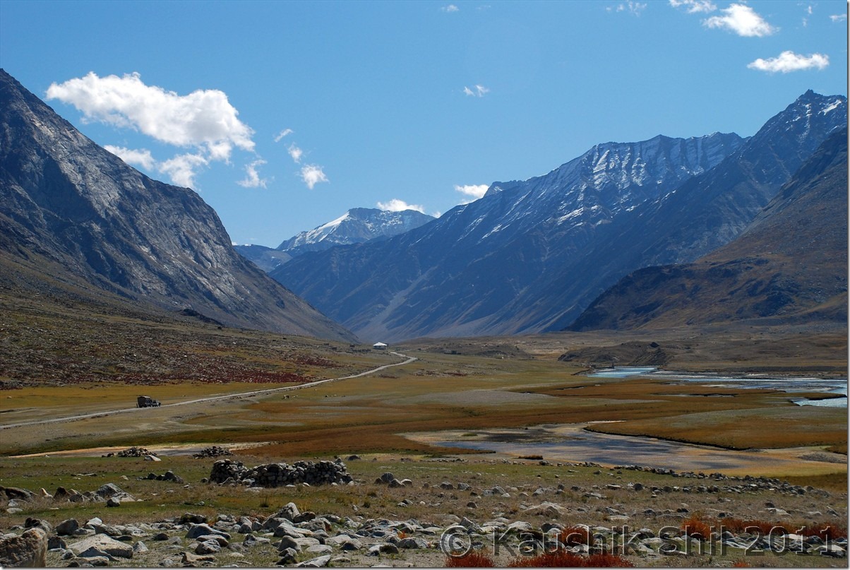
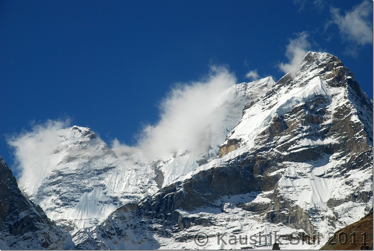
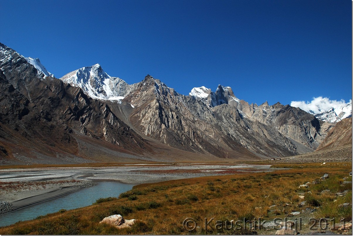
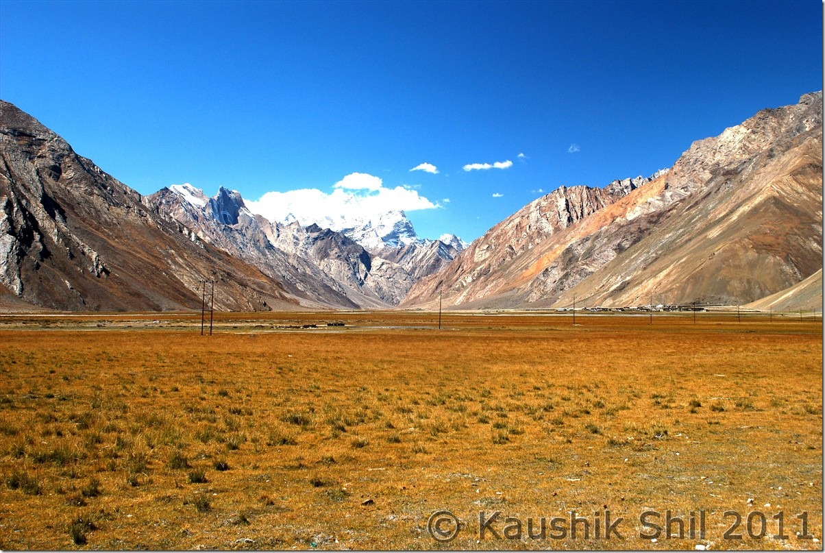
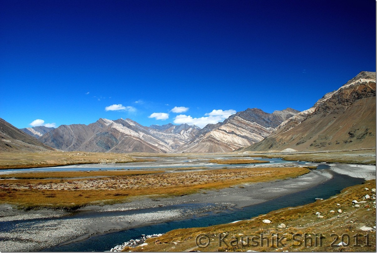
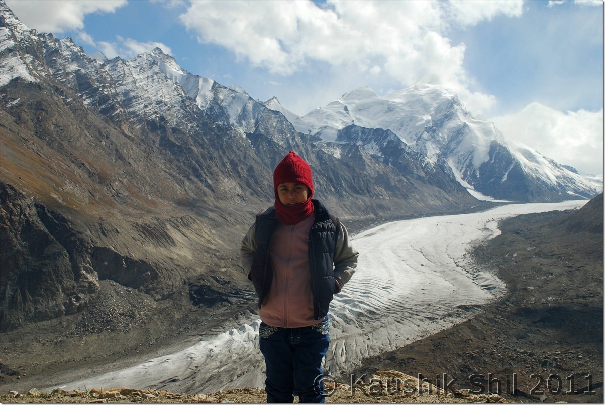
Got up early to catch magnificent glimpse of first sunrays on Nun-Kun Peak from Purtikchey. Nice serene ambience but later we understood it’s only the Nun peak that is visible from Purtikchey and Kun is towards left, out of vision, as the Suru river takes a U turn after Panikkhar towards Parkachik and Kun can be seen from Parkachik or Shafat Nalla areas. We started our long journey by 7.00 in the morning and after 13 km from Purtikchey just before entering Panikhar, we crossed the river and entered Namsuru Village to get a tarred bypass to avoid 15/20 odd km of unpaved road that goes through Panikhar. The paved road condition is nothing great but it gives you a brilliant view of Panikkhar village and Suru valley that widens here and presents a nice photo opportunity specially during morning time. From other side of the river, we could identify Tongol which is another 5 km from Panikhar on other side of river and the Nun base camp trek starts from here. JK Tourism has an alpine bungalow there too but not in a good shape. The road takes a turn along with Suru River and approaches to Parkachik which is around 10000 ft height and even had a high school apart from middle and primary school. The only college of the valley is at Sankhoo. Around Parkachik you would surely find students asking for lifts while going to school or coming back as public transport is almost non-existent in the region. Parkachik was famous for the glacier which you can approach sufficiently close if you don’t mind walking for some time at that height just after crossing the village. After Parkachik due to building up of an irrigational canal, you would find some blasting work in progress which would slow you down sufficiently and the worst stretch of road starts between this place and Rangdum which is the highest inhabited place in this route at 12500 ft and even in end Sep, Rangdum was only place in this route where water was turning ice at night, later we had this experience in Changthang but that was much higher and we were in October by that time but Rangdum is surely a place with extreme isolation in the middle of high mountains and one panoramic monastery. The whole valley turns extremely scenic between Parkachik and Rangdum and the special red/yellow/green/brown grass of September and the isolated horses roaming and Zanskari people in the picturesque valley would certainly keep a lasting memory. Rangdum Monastery can be approached by a short cut from the deluxe camps ground, one of the many deluxe camps of the Zanskar/Ladakh region that was still operational because Himalayan Car Rally participants are supposed to stay a night here here during their run. The monastery is in awesome location with an excellent valley view and a must visit for anyone crossing Rangdum. It carries the awful experience of terror strike in early 2000 when few terrorists crossed over the valley from Kishtwar side and hijacked a truck with German tourists and gunned down many monks in Rangdum monastery and finally abandoned the truck by killing the driver and abducting the Germans and fled through Shafat Nalla. You would still find an army camp beside the monastery which is quite uncommon for any monastery starting from Ladakh to Bhutan. Rangdum is the last place where you find something for your stomach before you hit Padum which was still 100+ km ahead. We got some last few eateries open and had a lunch with roti – Omlette. The ascent of Pensila starts just few km after Rangdum and you would find you start loosing Suru River beside you that started even a few km ahead of Kargil. That clearly indicates you are approaching Watershed region and that indicates the topmost point of the terrain around you is approaching. In all probability you would find a new river from other side flowing with you. The twin lakes before the pass, the pass itself around 14000 ft being highest point on Kargil-Padum road and of course the Drang Drung Glacier just when you start descent from pass would surely be the places to spend time and get few photo opportunities. The glacier is specially amazing and probably only one so close to a motorable road, it looks like as if a river is frozen there for good. After the glacier, you would enter the Zanskar Valley as Suru Valley ends before Pensila. Amidst of colorful mountains, you would find small village starts appearing in Zanskar Valley, Skyagam, Ating, Tungri are few big villages those appear before one reaches Padum. We found JKTDC GH has only one VIP room that is quite good but they didn’t want to give that room(rest don’t even have hot water), Gay Skit as recommended by Harsh was full, Kailash Chamling, recommended by Bijoy was also very busy with all stuff involved in arranging some local function in the hotel, we continued our search and finally zeroed in Marq GH, that finally turned up a brilliant hotel with big and spacious rooms and running hot water for 24 hours. The hotel which offered me 3000 in All meal plan per person per day over phone/ email was finally managed for 1000 for 2 adults and a kid with separate food, bliss of off season![]()
First Ray of Sun on Nun Kun Peak:
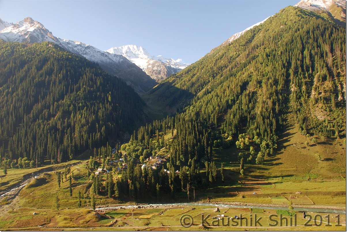
Panikhar Village from Namsuru, opposite side of Suru River:
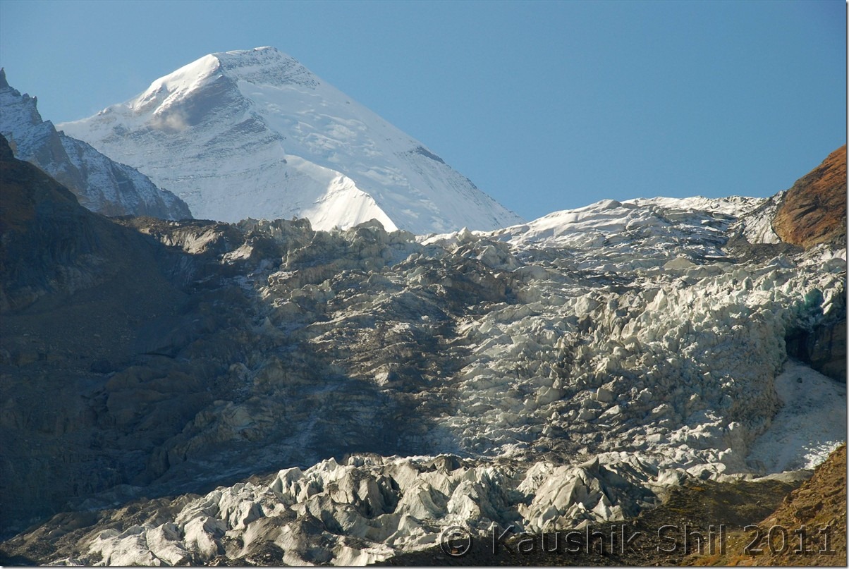
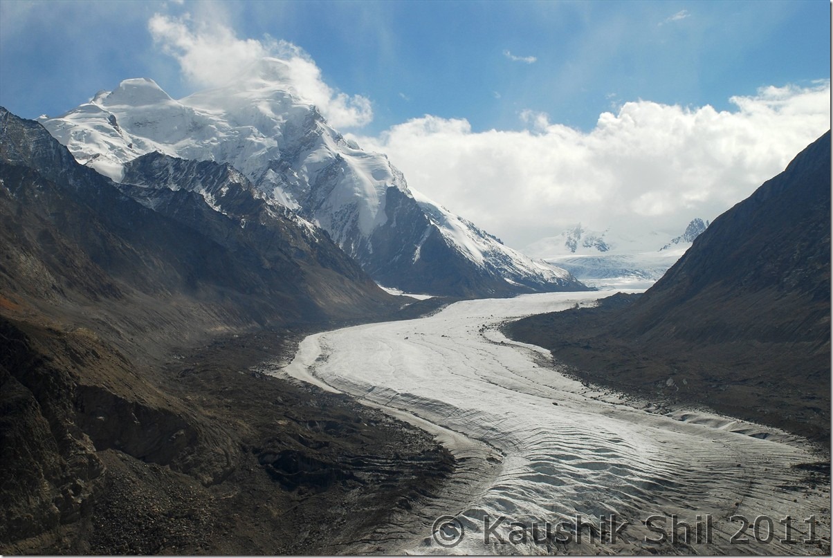
Parkachik Glacier:
Parkachik Glacier Up Close, see the Nun Massif in the backdrop:
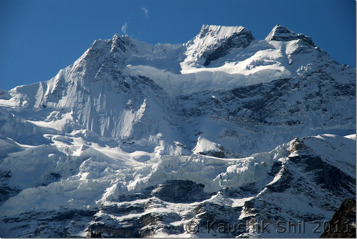
Unnamed Glacial Peak:
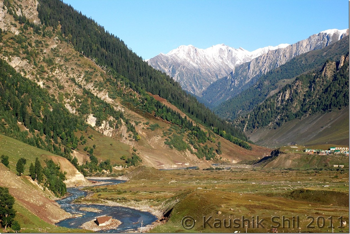
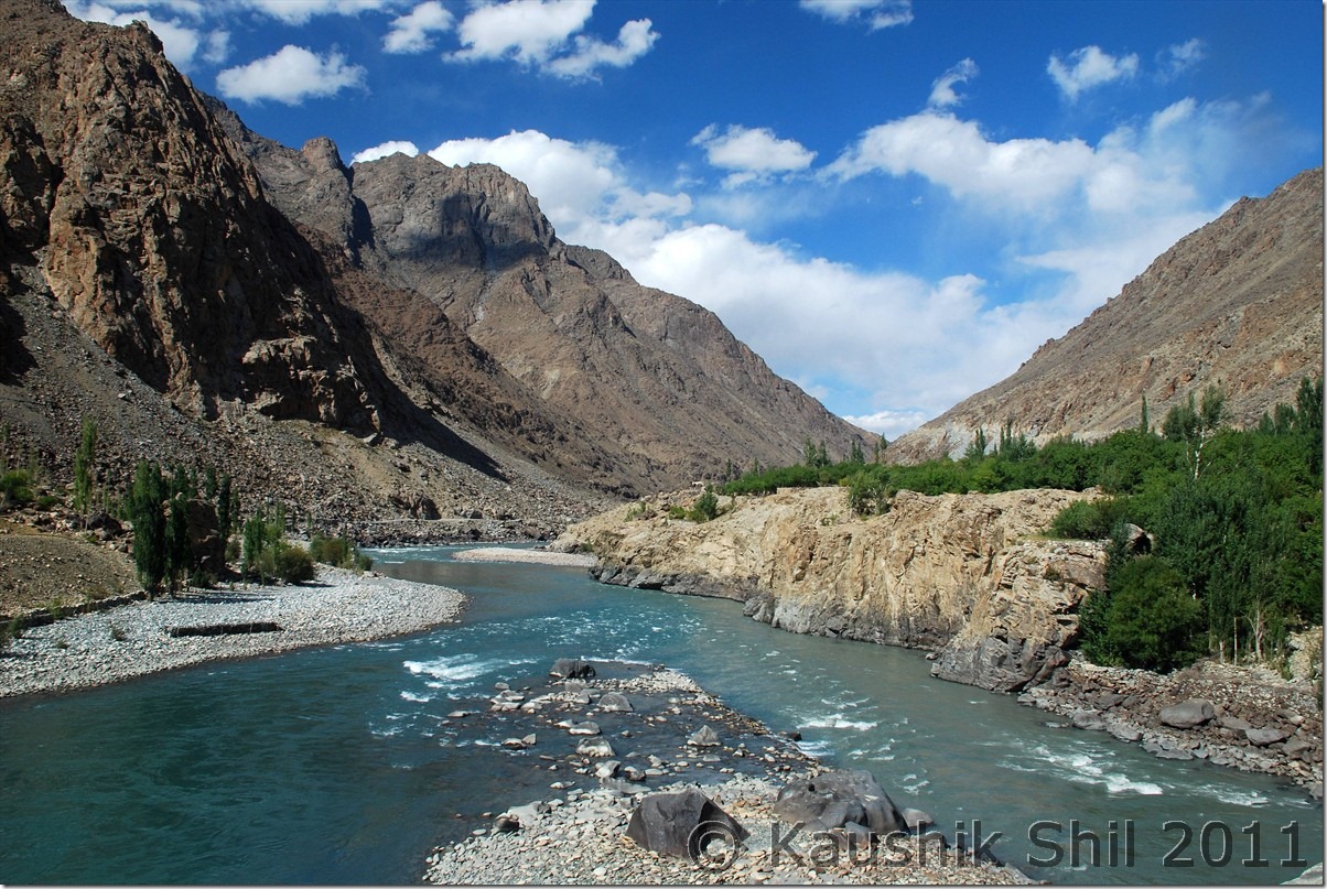
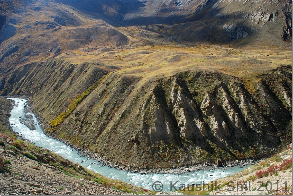
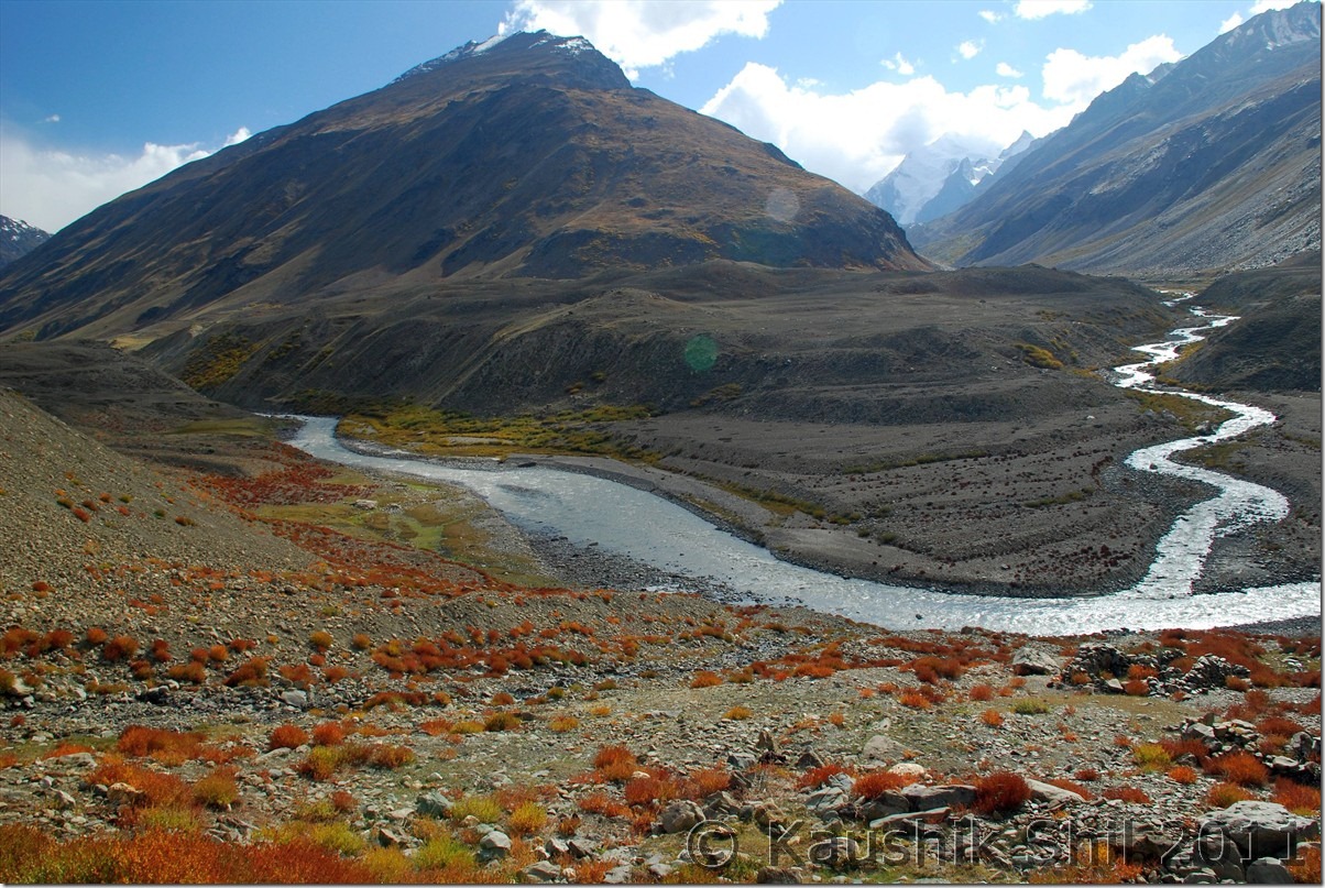
Suru river flows through valley bed:
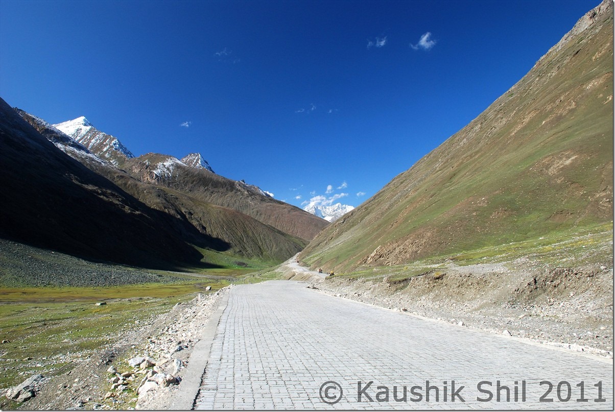
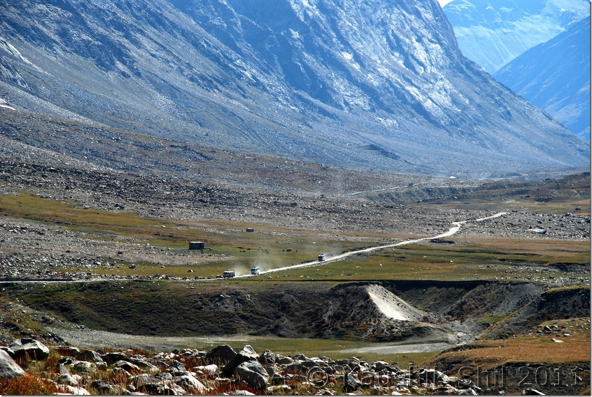
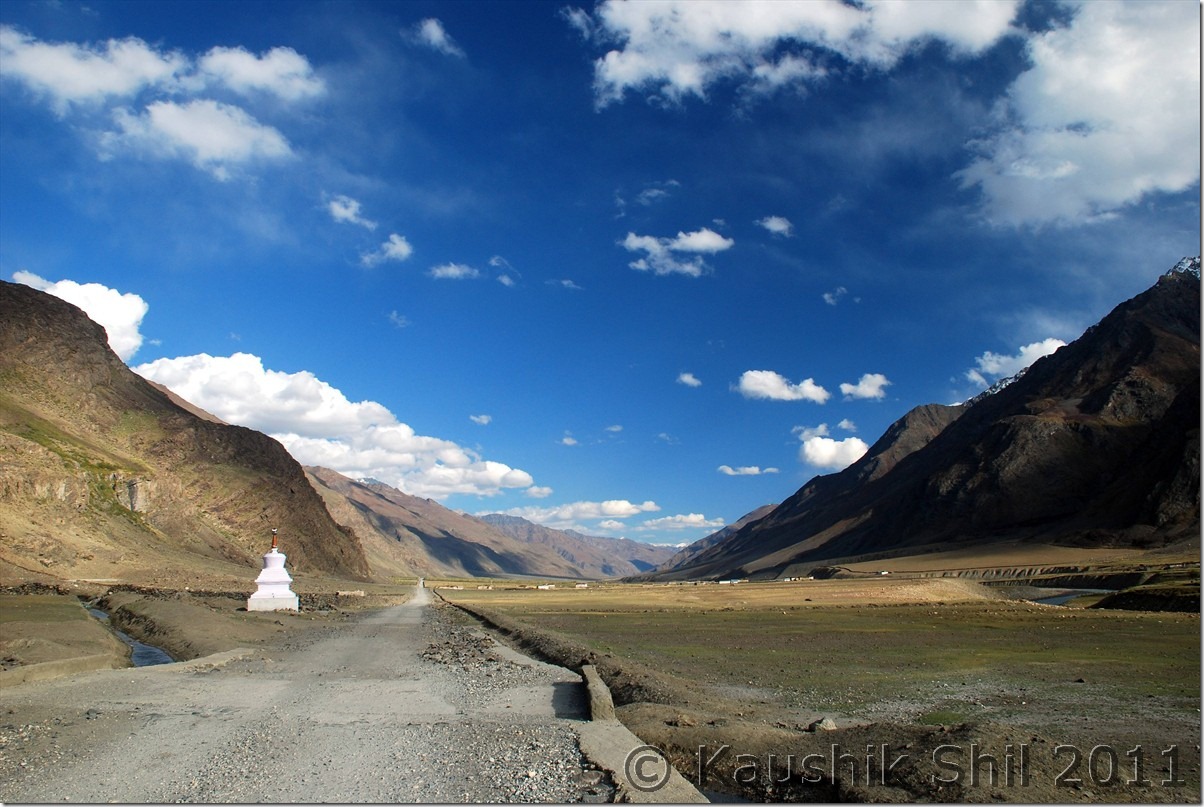
The Road Ahead:
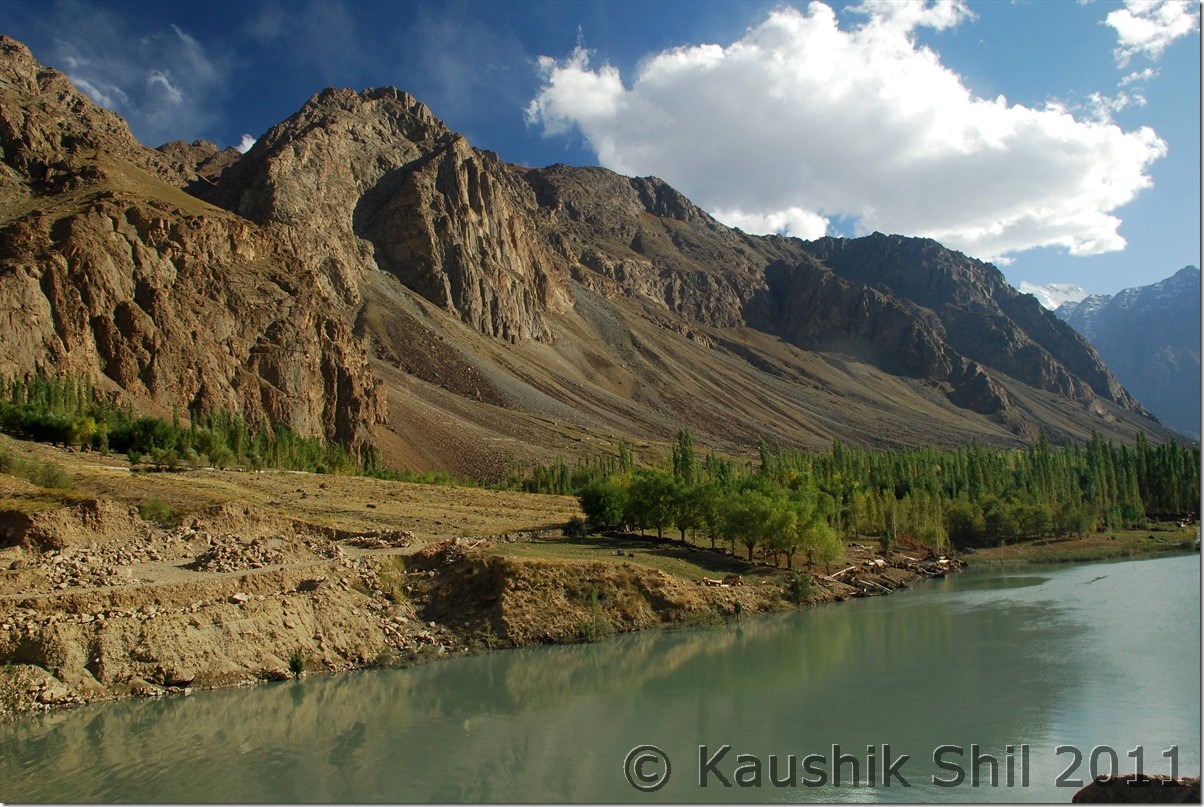
Colorful Suru Valley near Parkachik
Road goes towards Rangdum
Amazing colors of Suru:
Kun Massif from Shafat:
Closer to Rangdum:
Rangdum:
Drang Drung Glacier at Pensi La:
Entering Zanskar Valley crossing Pensila:
First Village at Zanskar Valley:
Previous: Ladakh – Srinagar, Sonmarg, Jojila, Kargil and entering Suru and Zanskar Valley
Next: Ladakh – Exploring Padum, Karsha, Strongde and Bardan Monastery and Back to Sankoo
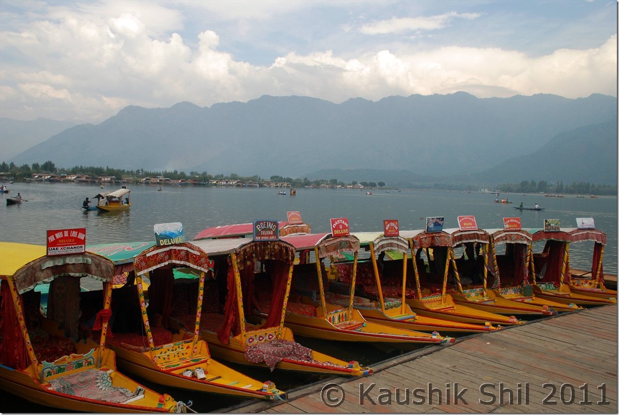
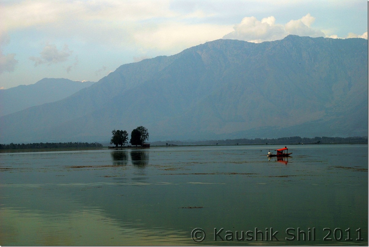
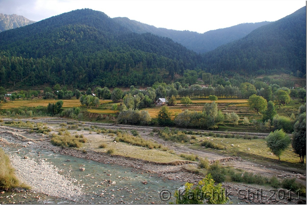
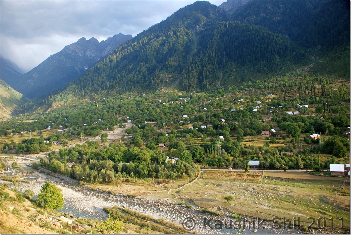
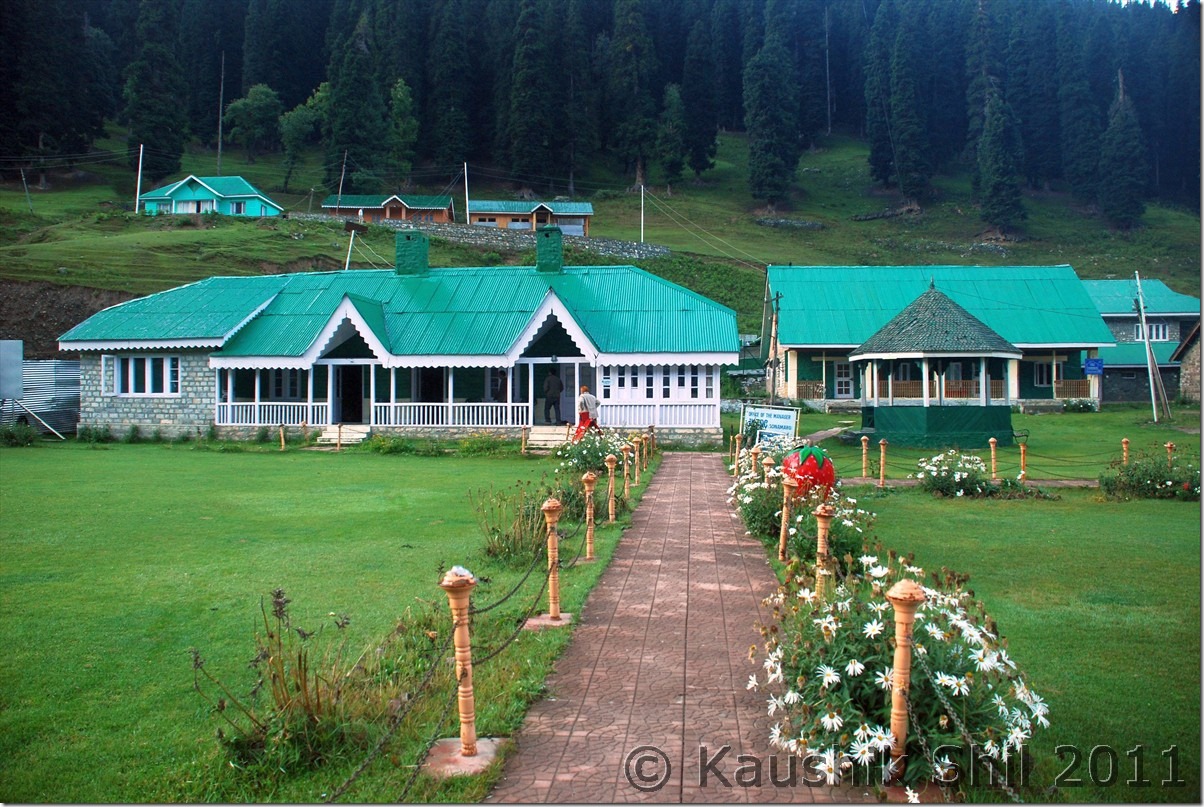
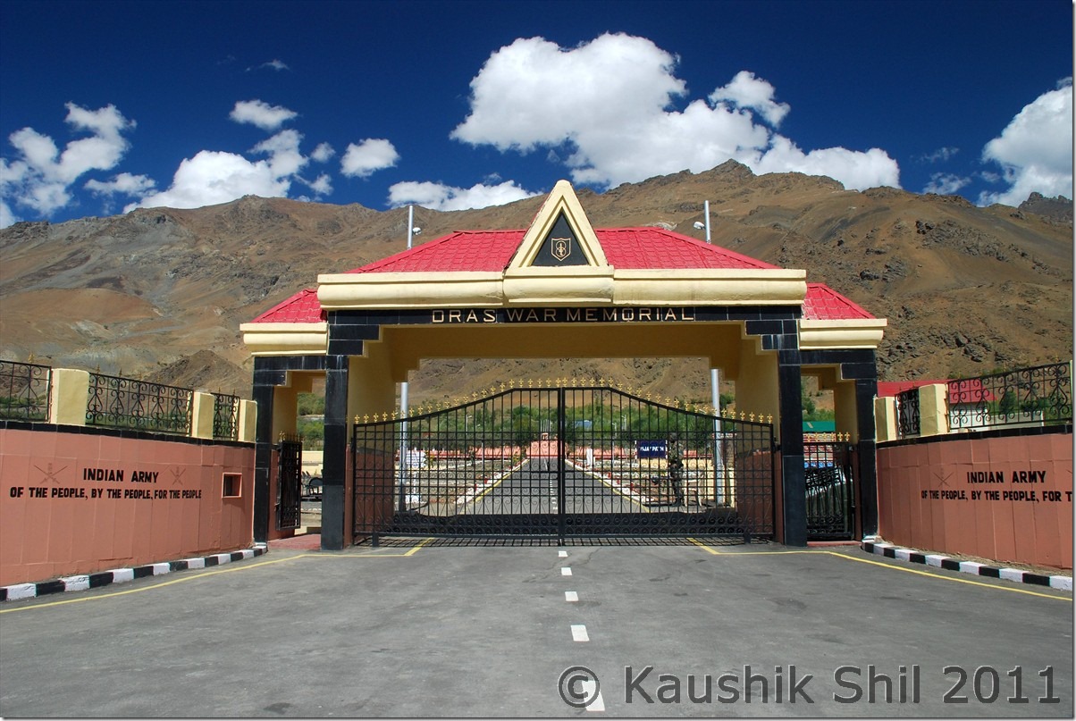
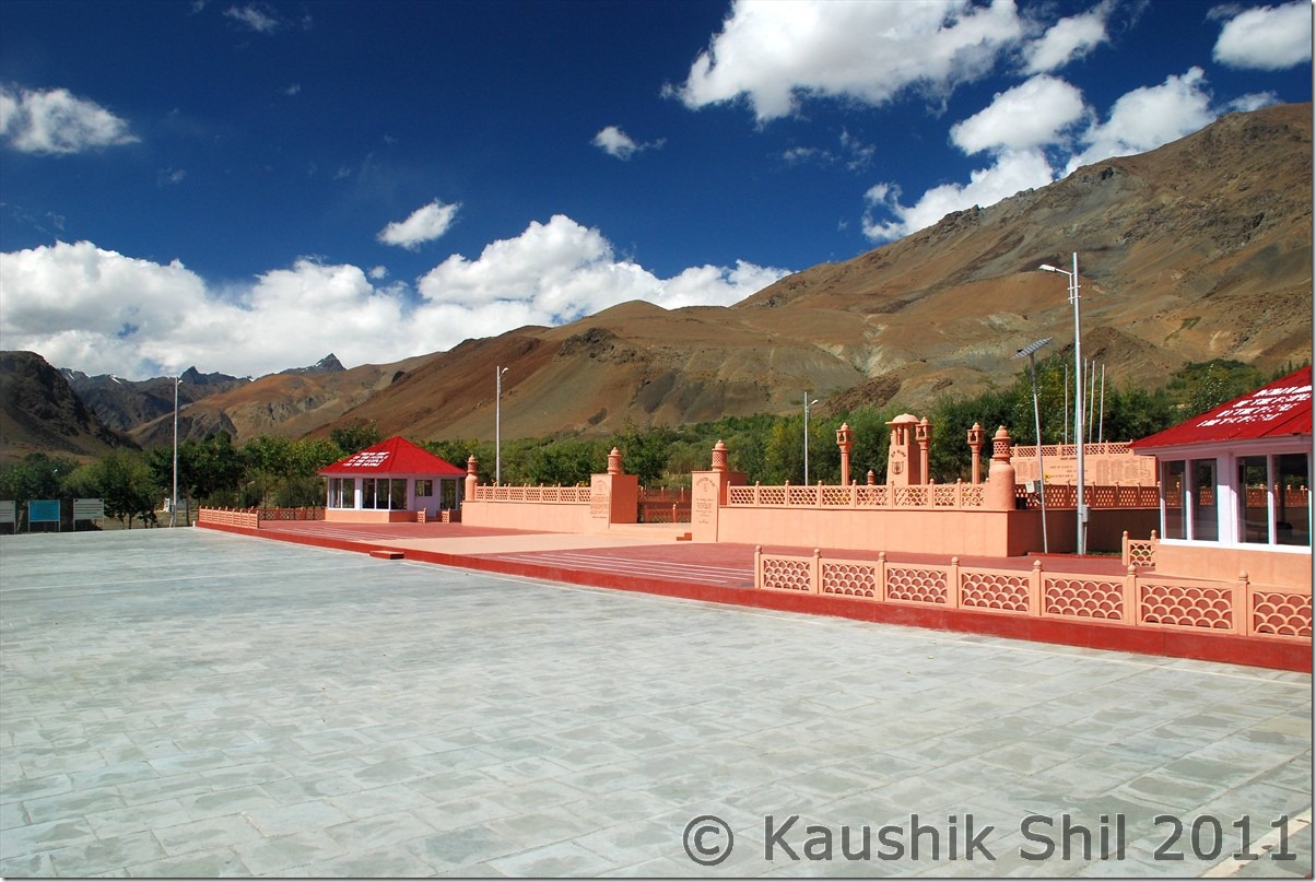
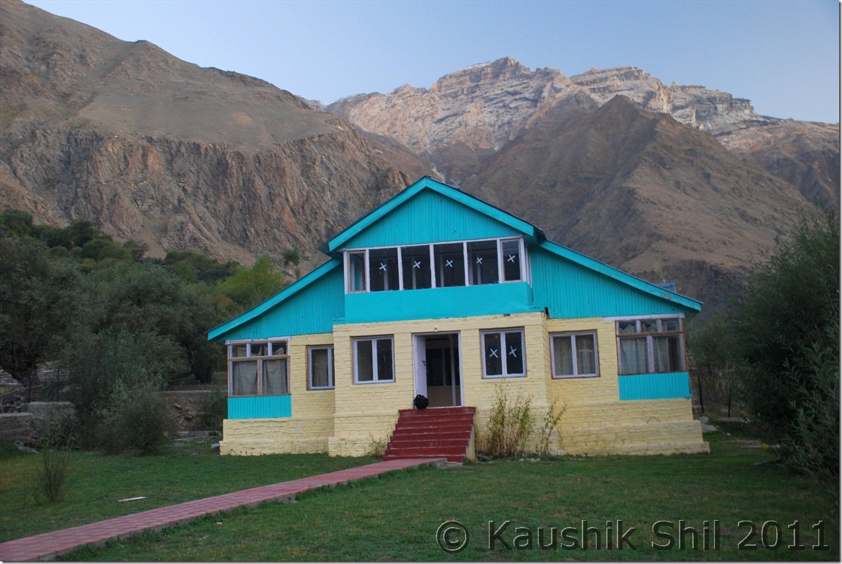
 The best thing is we were the only car going in opposite direction and we had ample time to take snaps with no cars behind. The road to Jojila was one way and full of dusts and definitely in a bad shape specially the ascent from Sonmarg. The road towards Baltal to Amarnath diverts from in between and after some delay with lots of truck traffic we were on Jojila top by two and half hours. Jojila to Drass was nice with mix of good and bad roads. Just before Drass you would find the diversion to Mushko Valley which was in headlines during 1999 Kargil War. The same road now is through to Tulail and Gurez and one can go to Srinagar via Bandipore by making a loop. The road was recently inaugurated by BRO in 2010 and yet to be opened for civilians. Drass, the second coldest inhabited place in earth as the JK Tourism board displays was a small and nice town with heavy army presence. We tasted first Namkeen Chay (Salt/Butter Tea) of our trip here and we got addicted to it, it was really nice. Drass could be a good pit stop for lunch before Kargil and road from here onwards crosses War Memorial, a must see enroute and colourful mountains and valley and the valley starts narrowing down after this and you would find you are following almost the LOC and Kazim was showing us the signs of shelling from other side of LOC on the road side poles, trees, mountains all through this section during 1999 Kargil War. Tiger Hill, Tololing and other commonly uttered names during Kargil Wars can be seen across the mountain ridge and the sacrifice of our army would surely touch your deepest. Just before Kargil, you would find Drass and Suru river meets and though non descriptive, you would find Kargil as largest town between Srinagar and Leh in this route. Road towards Zanskar via Suru Valley and towards Leh bifurcates here. Our destination was Zanskar and we first met Mr. Golam Rosul, Tourist Officer, JKTDC Kargil who was in charge of reservation for all the alpine bungalows across Suru and Zanskar Valley. Surprisingly he greeted us in Bengali and later we knew he was posted first 2 years of his service at JKTDC, Kolkata and quite familiar with Kolkata. A very nice gentleman with good sense of humour he advised us to choose between Sankhoo, Purtikchey and Panikhar situated in 8500, 9500 and 10000 ft height respectively. Height of night stay was important as we were trying our best to acclimatize as quickly as possible. Sankhoo and Panikhar were closer to shops and had a better chance to get foods arranged in off season while Purtichey is more scenic with perfect frames of Nun Kun you could see from Bungalow. We chose Purtikchey but Mr. Rosul gave us papers for staying either in Purtikchey or in Panikhar in case Purtikchey was closed. The tar road ends near Sankhoo around 40km from Kargil but the road is very scenic and you could see fall colors all the way in this road. After Sankhoo, the unpaved road starts for rest of the 234 km towards Padum but locals expect next year paved roads would reach till Panikkhar. 13km from Sankhoo on unpaved road we reached Purtikchey and luckily found the caretaker of the GH nearby. No guest stayed there in whole month of September and he was surprised with this sudden arrival of tourist but somehow agreed to Rice/Dal/Sabji kind of dinner from the winter stock he had. We caught the last rays of evening sun on Nun-Kun and after dinner quickly move to bed but it was one of the coldest nights in our trip. There are only 2 rooms in the nicely located GH but most likely you would get them unless you hit the region in July/August peak season.