03rd October:
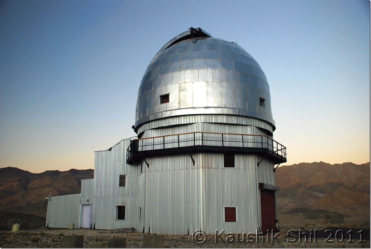
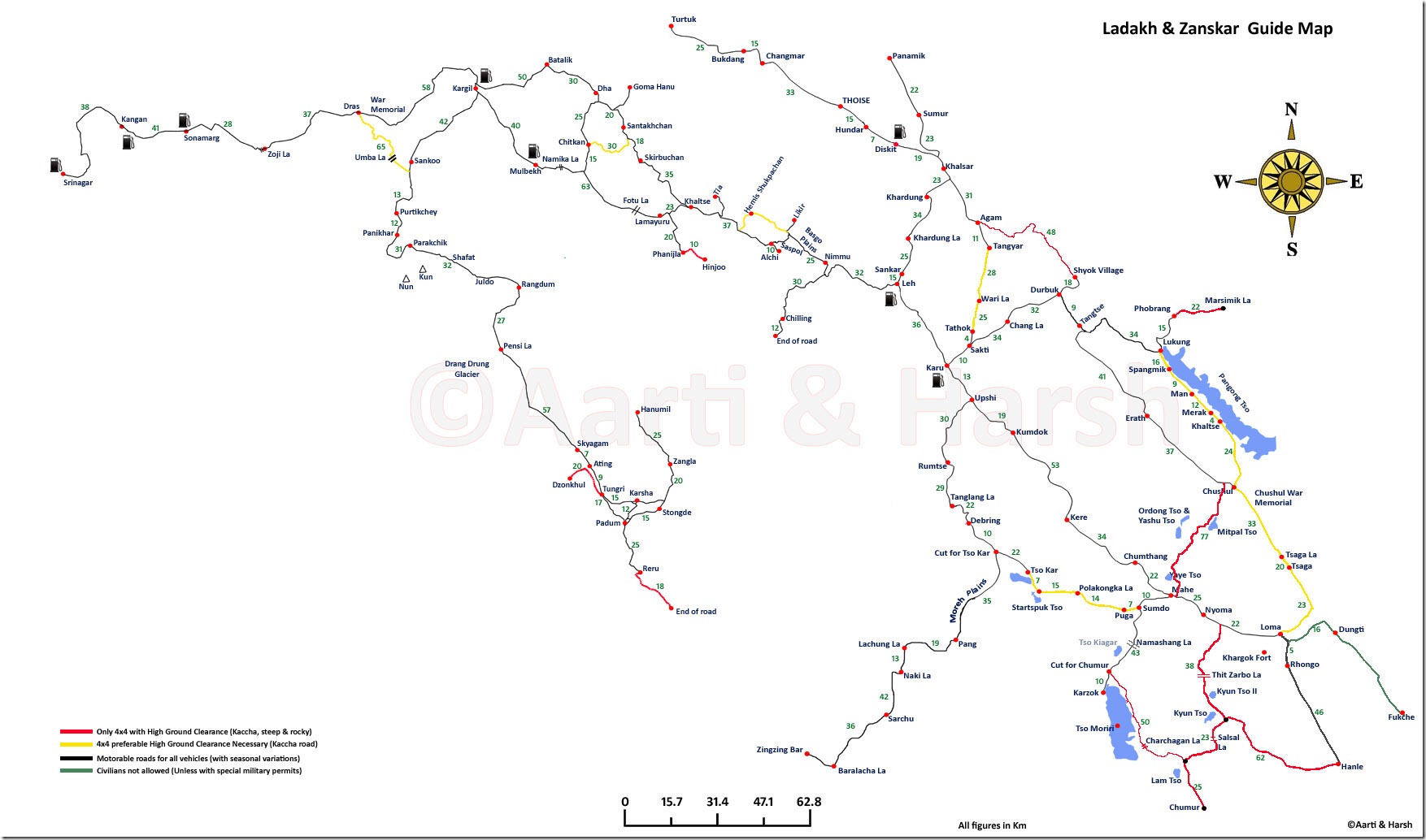
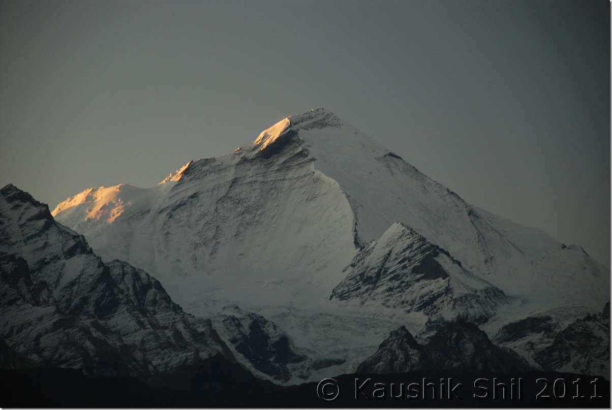
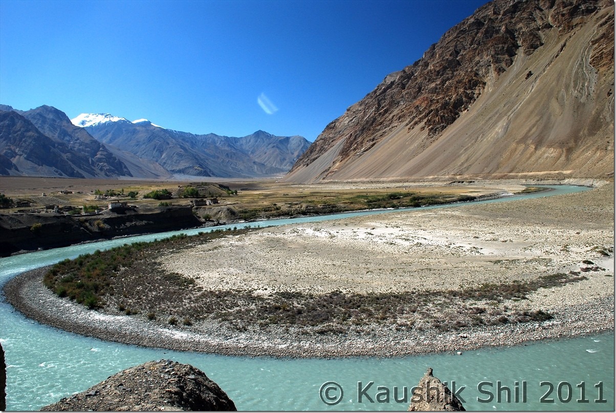
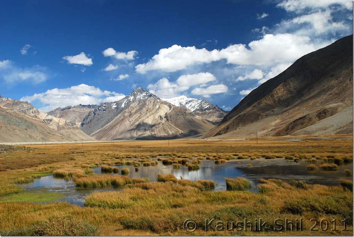
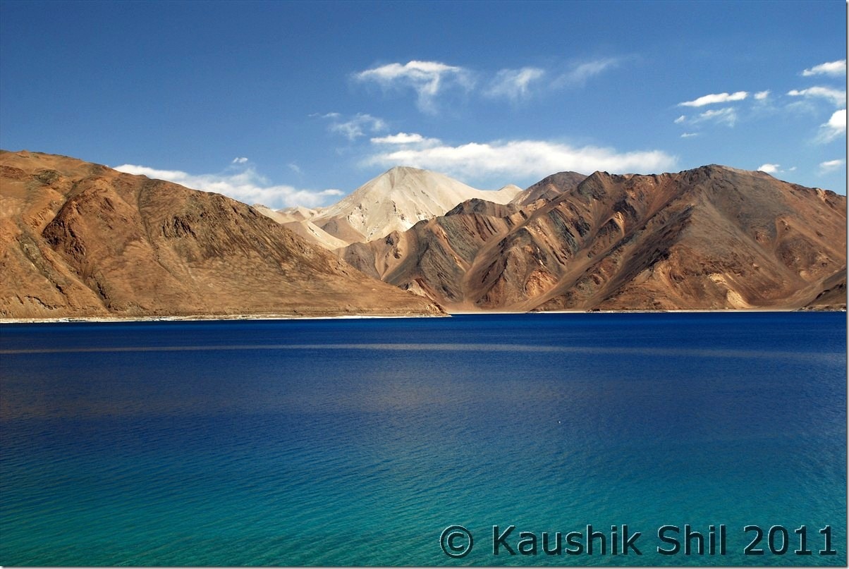
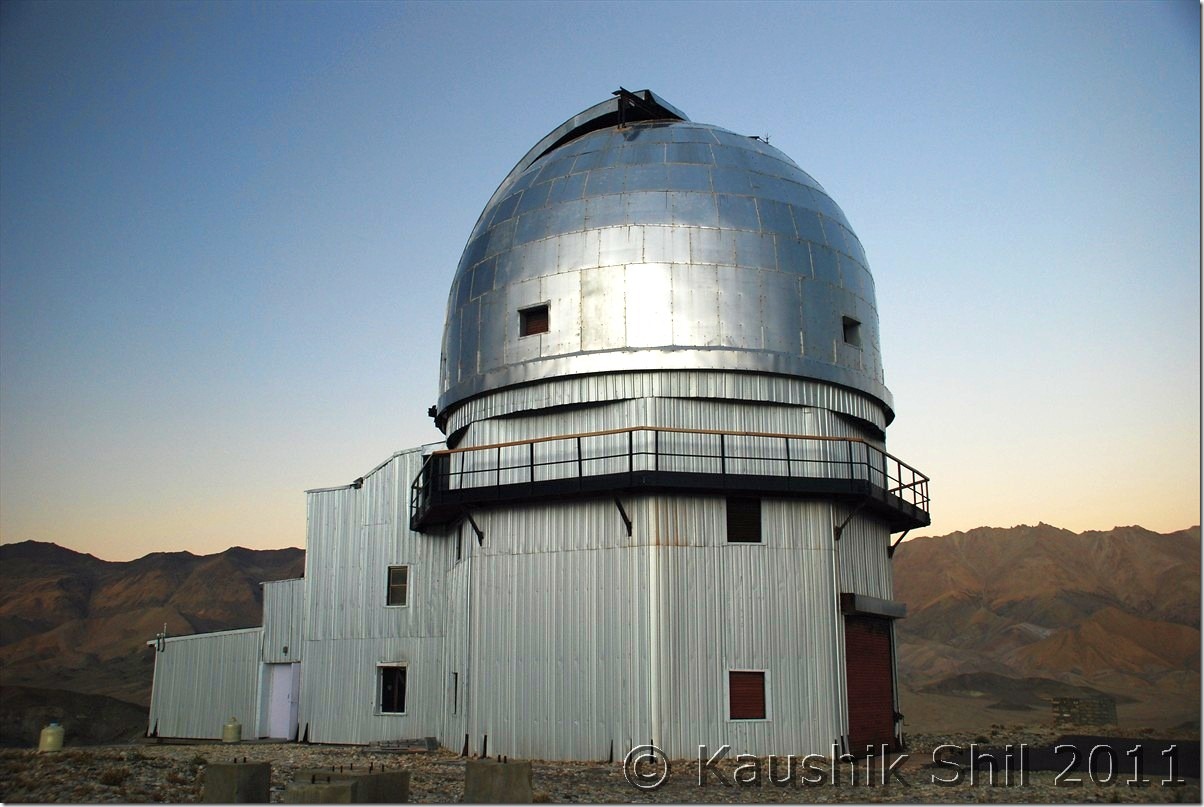
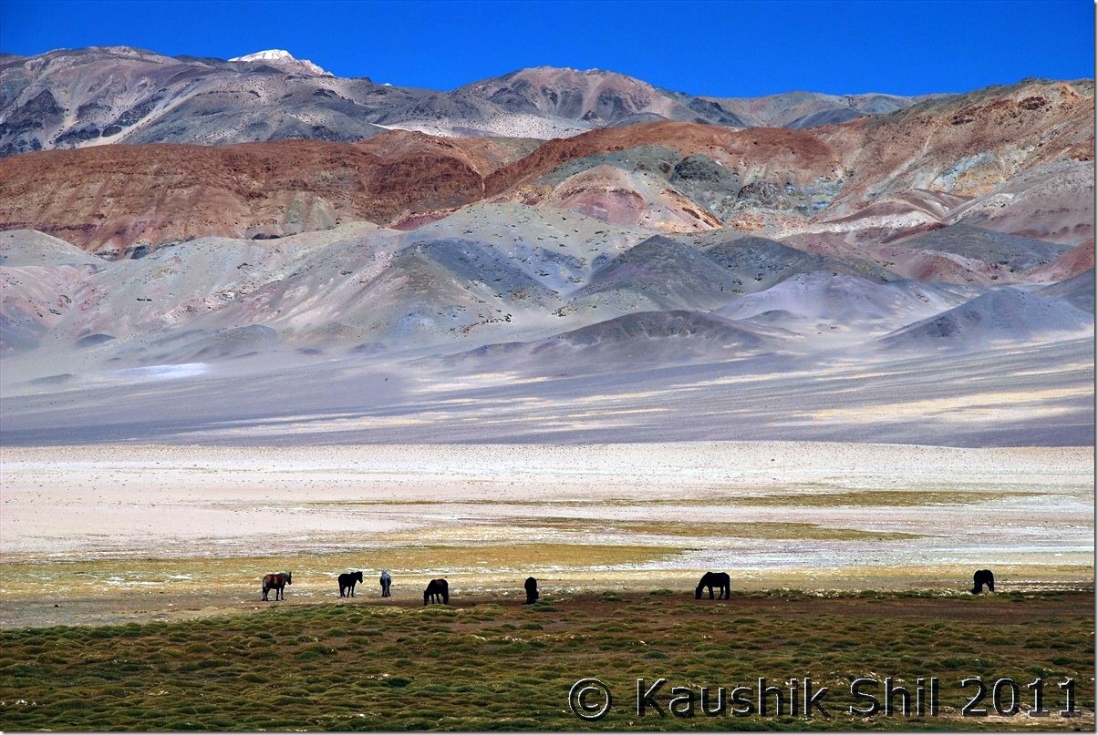
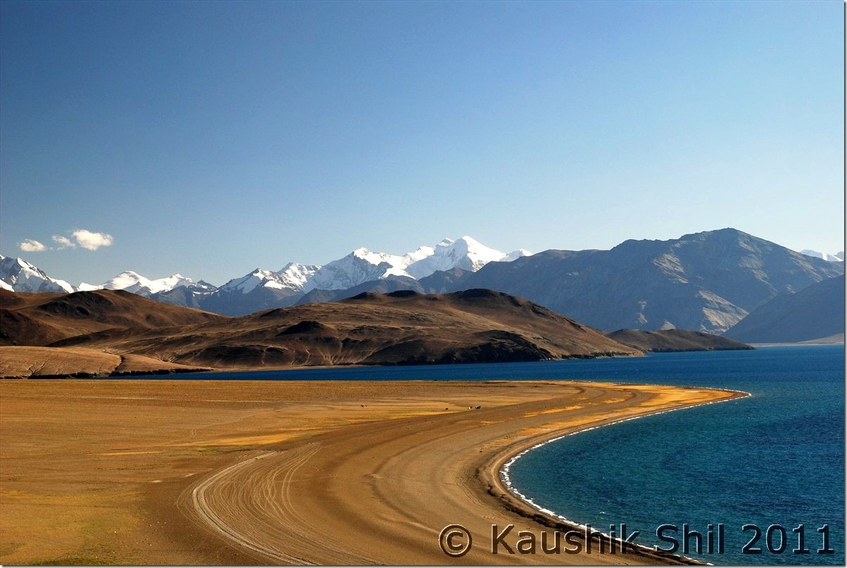
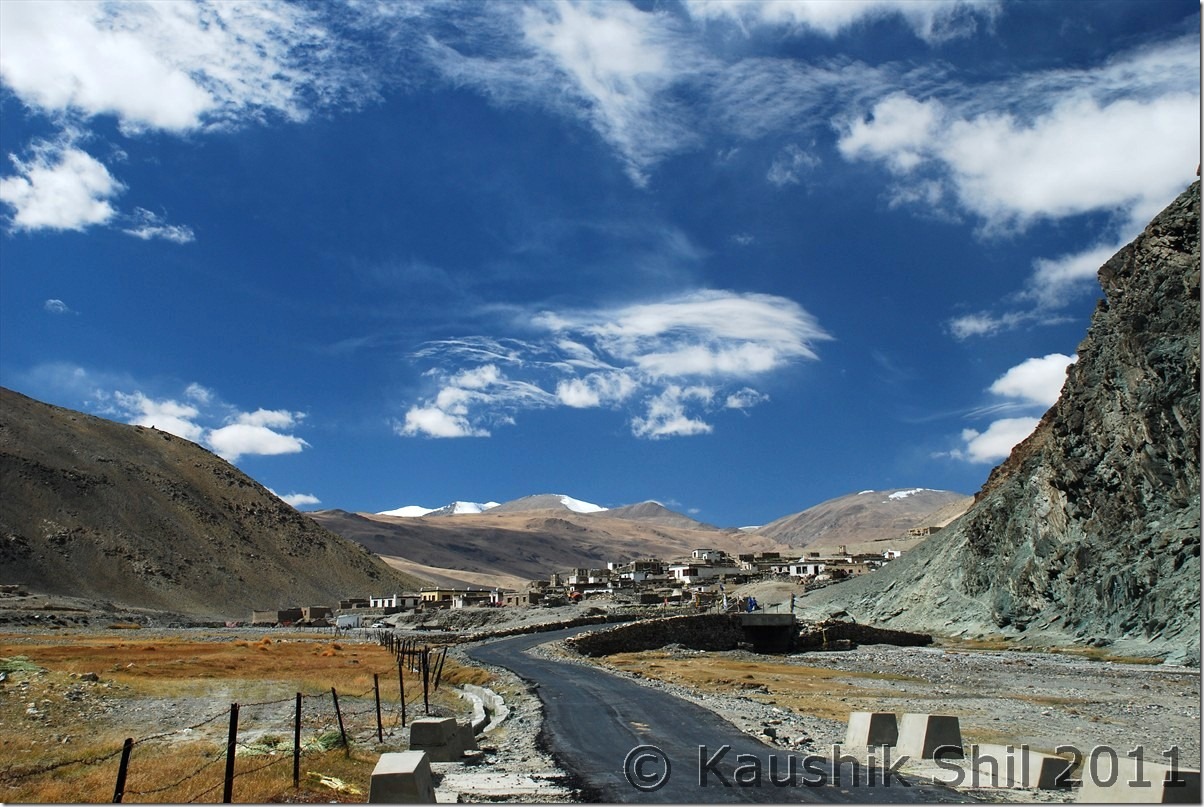
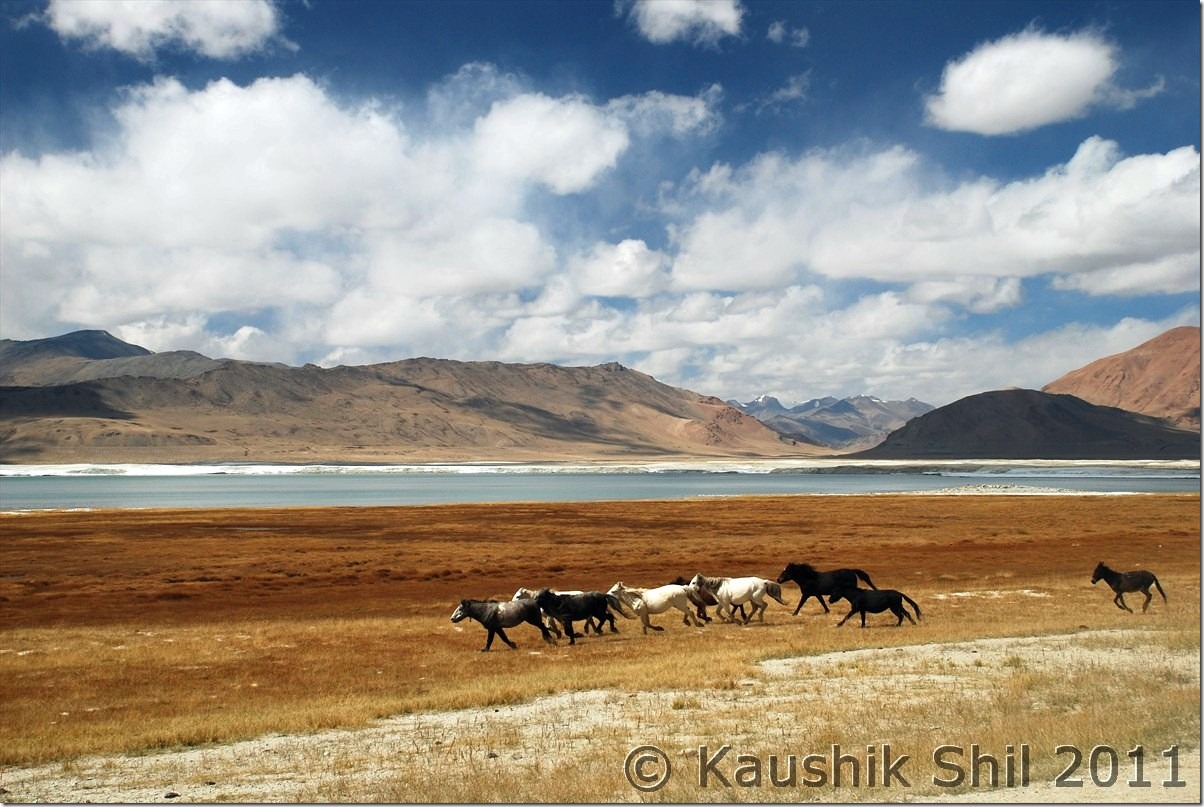
Today we have plan to reach Hanle through Chusul, another big day ahead and we still have awesome weather with us with no sign of any cloud anywhere in the sky. Hanle, most of us are aware having 3rd highest observatory in world situated at close to 15K ft height, Hanle was chosen for the telescope site among 6 candidate sites across India because of its clear weather after a rigorous weather analysis was done on cloud cover, relative humidity, wind speed and direction, solar radiation, rain/snow fall. The observatory having a 2m optical infrared telescope and 7 Gamma Ray telescopes (known as Hagar Telescope) was inaugurated in 2001, remotely controlled from Bangalore through Satellite Link. They usually open the telescope dome between 5.30pm to 6.30pm (of course changed seasonally with length of day and night)and cool the 2m telescope CCD with liquid nitrogen around 5.30pm. So if you want to catch those actions, you have to reach observatory by 5.00pm. We planned accordingly and started quite early around 8.00am. Two more families were there with us at Spangmik on that night, both were hit hard by cold and altitude left early for Leh and from this point onward we became the sole car to proceed ahead. The journey beside the lake was amazing and first village you would be crossing is Man and then Merak, where IIA is seriously considering to come up with another observatory soon. Both the villages are extremely scenic and picturesque. Few homestays are available too and one can seriously consider staying a few nights here as Spangmik now a days become quite commercial. My kid was so upset once she understands that the brilliant lake actually gone into China after a few km from Merak, she promised not to touch any Chinese toys for next few days ![]() This is the place where the terrain started becoming flat and you would certainly realize you are very close to plateau where you would find vast flat lands at an height of 4000+ mtrs with not any high mountains around. We were actually at Tibetan Plateau here. We met the first group of Kiangs (Tibetan Wild Ass) there and without wasting time took couple of snaps. The road or the trail approaches to the next big place enroute that is Chusul where your permits would be checked. After crossing Chusul, the road approaches to a 14500 ft pass Tsaga la with China in your left side and you would find lots of army outposts at your left on top of mountains, Regzin being an ex army was showing us many army installations at left which in a civilian’s eye you might have missed out. He was posted on many of these OP for months and explaining the hardship and difficulties in sustaining there for even few days. We started observing how the colors around the mountains started changing from here onwards. You can see so many various shades of colors on the mountains that’s probably unique in this part of India. First village crossing the pass would be Tsaga, it’s quite a big village but surprisingly you won’t find any shop here, not sure why though. Again Regzin comes very handy, he straight away approached one home there with few packets of Maggie and requested to prepare those for us. The people there or rather in remote of part of Ladakhs are amazing, always smiling and surely would greet you with a smiling Juley. They prepared Maggie for us and before that welcomed us with tea and biscuits in those typical ladakhi style dining rooms. Amazing experience it was. We requested a lot to accept some money but they politely refused to take any, even Regzin couldn’t manage them to take that, we were touched by Ladakhi hospitality. After Tsaga, you would start finding more green and reason is nothing but you are approaching Loma bend and there you are meeting mighty Indus again. Loma is another place where permits would be checked and this is where they asked us while going to Koyul from Hanle if we take the direct route or route through Loma, these words got registered and I realized there was a direct route possible from Hanle to Koyul. Just before Loma bridge, a diversion of road goes towards Nyoma/Mahe/Chumathang/Sumdo and just after crossing the bridge, road again diverts, one fork goes towards Hanle and other towards Demchok via Koyul. Our first destination was Hanle and the observatory, so we took first fork and it’s now completely paved road of 50km till Hanle from Loma Bend. That’s a welcome break from unpaved road that started from Lukung onwards and continued till Tasaga. The valley goes through Rongho and the vivid colors of the mountains, Kiangs running across the vast emptiness and the complete desolate ambience would surely touch you. We reached Hanle well in time and checked into the observatory guest house. Hanle has very few accommodation options including the observatory GH which is undoubtedly not only the best in Hanle but probably best in whole Changthang with 24 hours power backup, Water heaters and room heaters available. Getting accommodations in observatory GH is not easy, You won’t get any room on spot even if its vacant, you can’t even secure it from IIA, Leh Office. It’s possible only by establishing communication with IIA, Bangalore office, would be helpful if you know someone in IIA, ISRO, TIFR etc. The other alternatives there are PWD GH and few private home stay. We had a cup of tea at GH before we proceeded to observatory. The CCD cooling with liquid nitrogen from so close distance is an experience. The views of Hanle Monastery from top of the Mt. Saraswati was amazing. The moment sun goes down, watching the night sky is simply an awesome experience from here. I can’t remember watching so many stars in my life and the milky way was so clearly visible across 180 degree over your head. From observatory GH, you can’t make a call but you have a V Sat internet over there which was again a lifeline and I checked the weather from here, decided not to take Manali route with the Western Disturbance hitting the region from 7th October onwards. So I have a few extra days and you know my permit bears the name of Koyul, so all was set for next day, only question remains if there is a straight road to Koyul from Hanle or we need to go through Loma. Regzin couldn’t throw much lights but locals confirmed there were 2 roads to Demchok from here, one was extremely long but open through out the year but goes beside the border most of the times. We don’t have much hope on that as we have to come back on same day to Hanle for night stay, also being a border roads we were sure to be stopped without the names of the places properly mentioned in permits. The second road we heard was a new road just being built across the mountains and it should go towards Koyul but locals can only confirm the road is through till top from Hanle end, no one have any idea how the road is on other end.
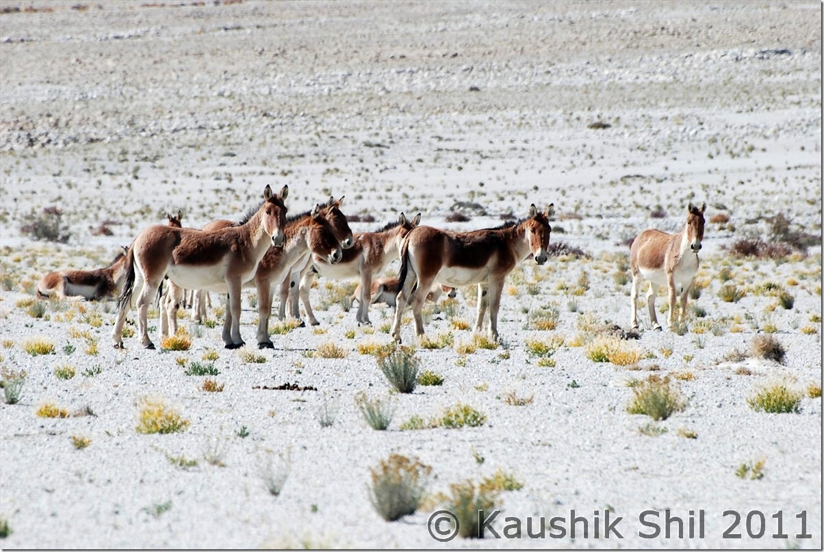
This is the place where the terrain started becoming flat and you would certainly realize you are very close to plateau where you would find vast flat lands at an height of 4000+ mtrs with not any high mountains around. We were actually at Tibetan Plateau here. We met the first group of Kiangs (Tibetan Wild Ass) there and without wasting time took couple of snaps. The road or the trail approaches to the next big place enroute that is Chusul where your permits would be checked. After crossing Chusul, the road approaches to a 14500 ft pass Tsaga la with China in your left side and you would find lots of army outposts at your left on top of mountains, Regzin being an ex army was showing us many army installations at left which in a civilian’s eye you might have missed out. He was posted on many of these OP for months and explaining the hardship and difficulties in sustaining there for even few days. We started observing how the colors around the mountains started changing from here onwards. You can see so many various shades of colors on the mountains that’s probably unique in this part of India. First village crossing the pass would be Tsaga, it’s quite a big village but surprisingly you won’t find any shop here, not sure why though. Again Regzin comes very handy, he straight away approached one home there with few packets of Maggie and requested to prepare those for us. The people there or rather in remote of part of Ladakhs are amazing, always smiling and surely would greet you with a smiling Juley. They prepared Maggie for us and before that welcomed us with tea and biscuits in those typical ladakhi style dining rooms. Amazing experience it was. We requested a lot to accept some money but they politely refused to take any, even Regzin couldn’t manage them to take that, we were touched by Ladakhi hospitality. After Tsaga, you would start finding more green and reason is nothing but you are approaching Loma bend and there you are meeting mighty Indus again. Loma is another place where permits would be checked and this is where they asked us while going to Koyul from Hanle if we take the direct route or route through Loma, these words got registered and I realized there was a direct route possible from Hanle to Koyul. Just before Loma bridge, a diversion of road goes towards Nyoma/Mahe/Chumathang/Sumdo and just after crossing the bridge, road again diverts, one fork goes towards Hanle and other towards Demchok via Koyul. Our first destination was Hanle and the observatory, so we took first fork and it’s now completely paved road of 50km till Hanle from Loma Bend. That’s a welcome break from unpaved road that started from Lukung onwards and continued till Tasaga. The valley goes through Rongho and the vivid colors of the mountains, Kiangs running across the vast emptiness and the complete desolate ambience would surely touch you. We reached Hanle well in time and checked into the observatory guest house. Hanle has very few accommodation options including the observatory GH which is undoubtedly not only the best in Hanle but probably best in whole Changthang with 24 hours power backup, Water heaters and room heaters available. Getting accommodations in observatory GH is not easy, You won’t get any room on spot even if its vacant, you can’t even secure it from IIA, Leh Office. It’s possible only by establishing communication with IIA, Bangalore office, would be helpful if you know someone in IIA, ISRO, TIFR etc. The other alternatives there are PWD GH and few private home stay. We had a cup of tea at GH before we proceeded to observatory. The CCD cooling with liquid nitrogen from so close distance is an experience. The views of Hanle Monastery from top of the Mt. Saraswati was amazing. The moment sun goes down, watching the night sky is simply an awesome experience from here. I can’t remember watching so many stars in my life and the milky way was so clearly visible across 180 degree over your head. From observatory GH, you can’t make a call but you have a V Sat internet over there which was again a lifeline and I checked the weather from here, decided not to take Manali route with the Western Disturbance hitting the region from 7th October onwards. So I have a few extra days and you know my permit bears the name of Koyul, so all was set for next day, only question remains if there is a straight road to Koyul from Hanle or we need to go through Loma. Regzin couldn’t throw much lights but locals confirmed there were 2 roads to Demchok from here, one was extremely long but open through out the year but goes beside the border most of the times. We don’t have much hope on that as we have to come back on same day to Hanle for night stay, also being a border roads we were sure to be stopped without the names of the places properly mentioned in permits. The second road we heard was a new road just being built across the mountains and it should go towards Koyul but locals can only confirm the road is through till top from Hanle end, no one have any idea how the road is on other end.
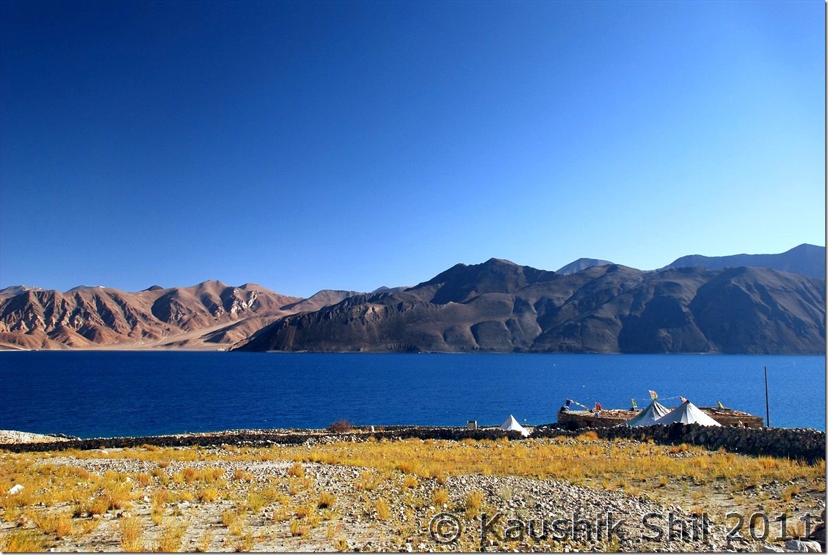
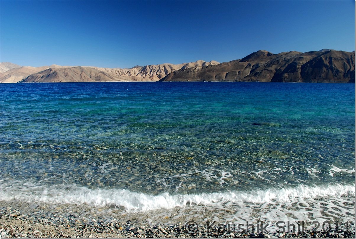
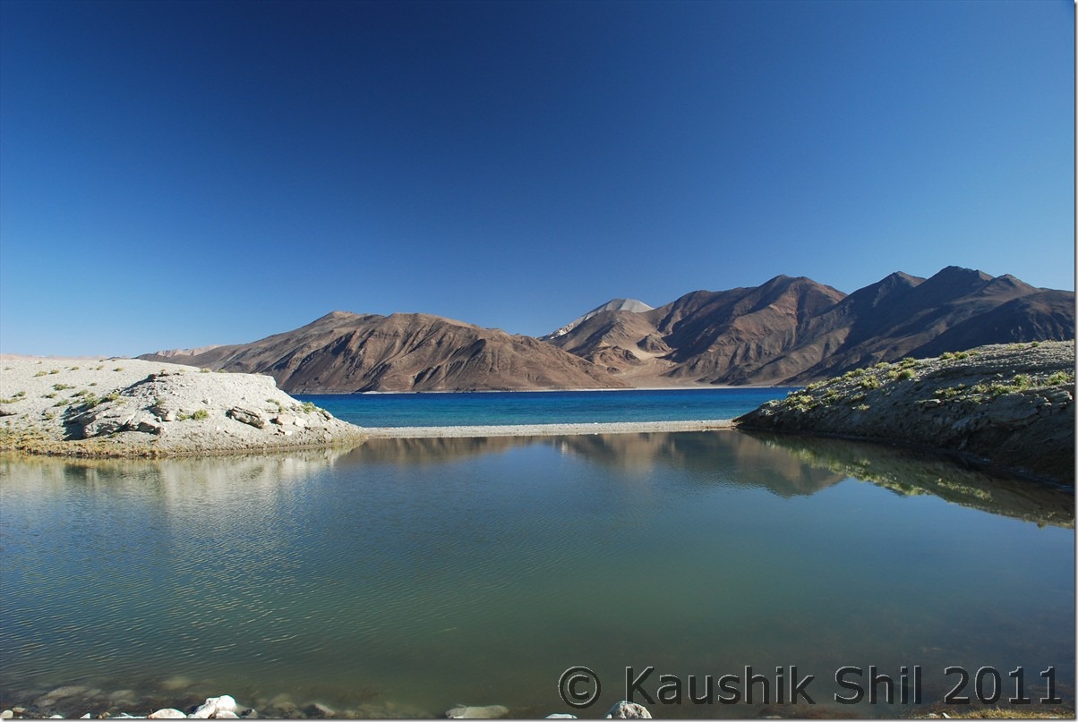
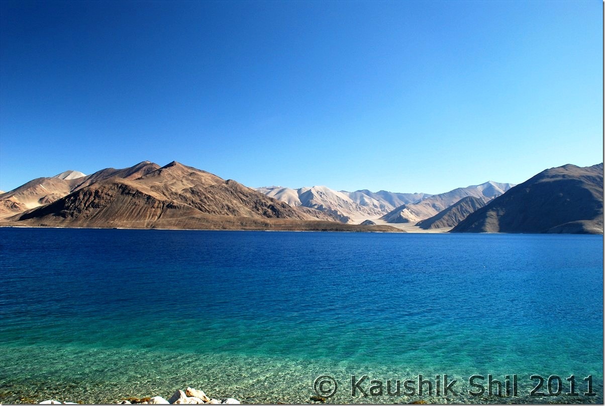
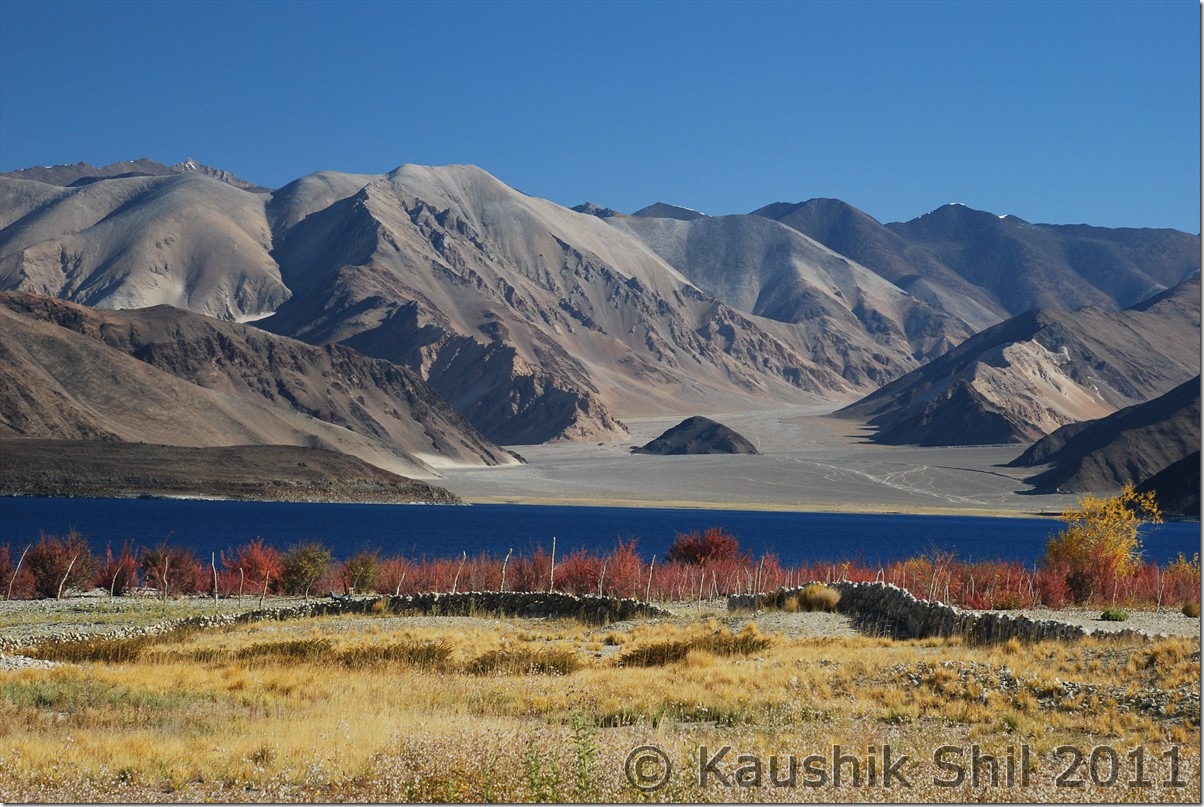
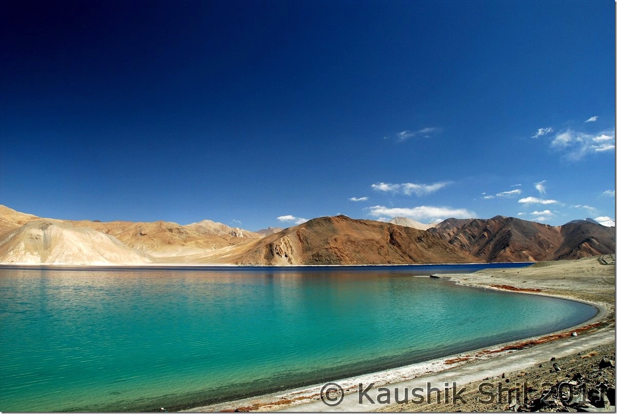
At Spangmik:
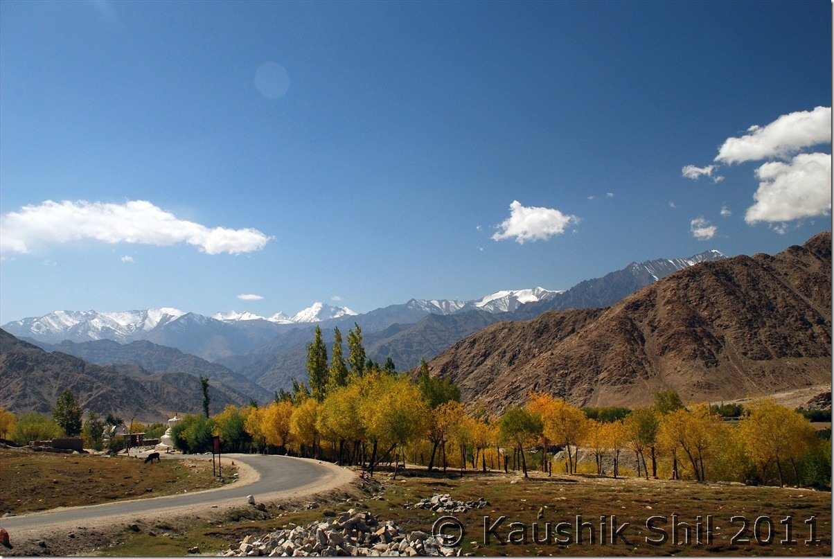
Amazing Fall Colors:
Curious Kiangs:
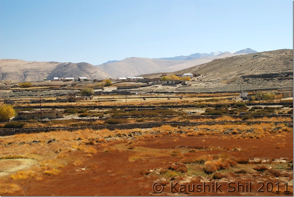
Approaching Chusul:
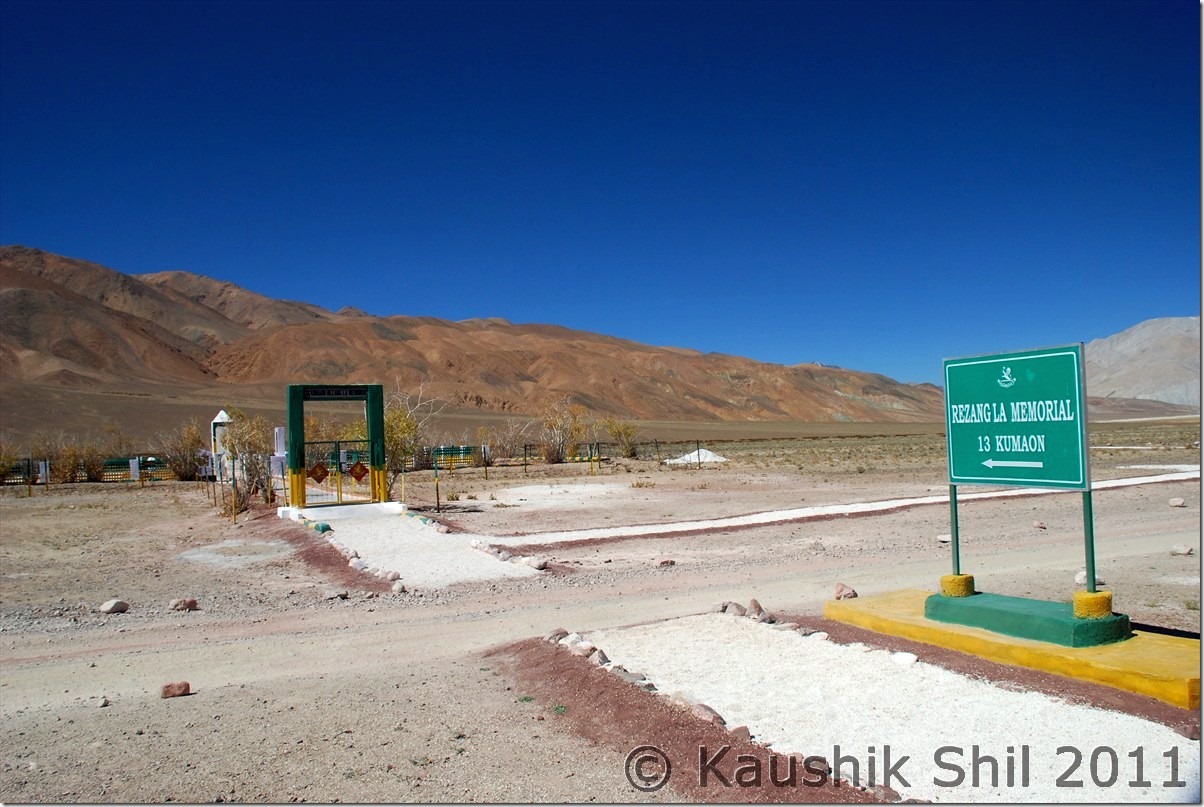
Rezangla War Memorial:
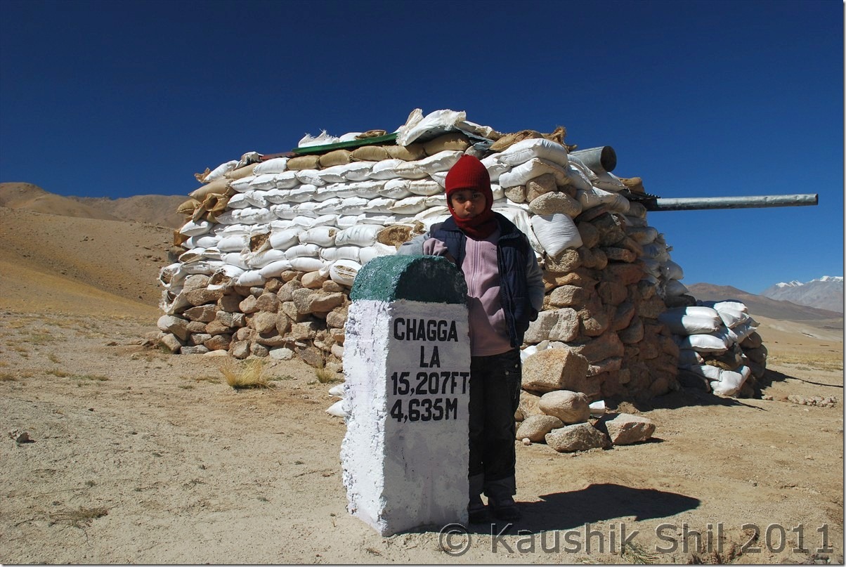
Tsaga La:
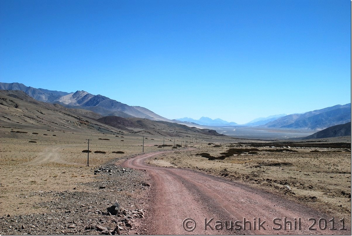
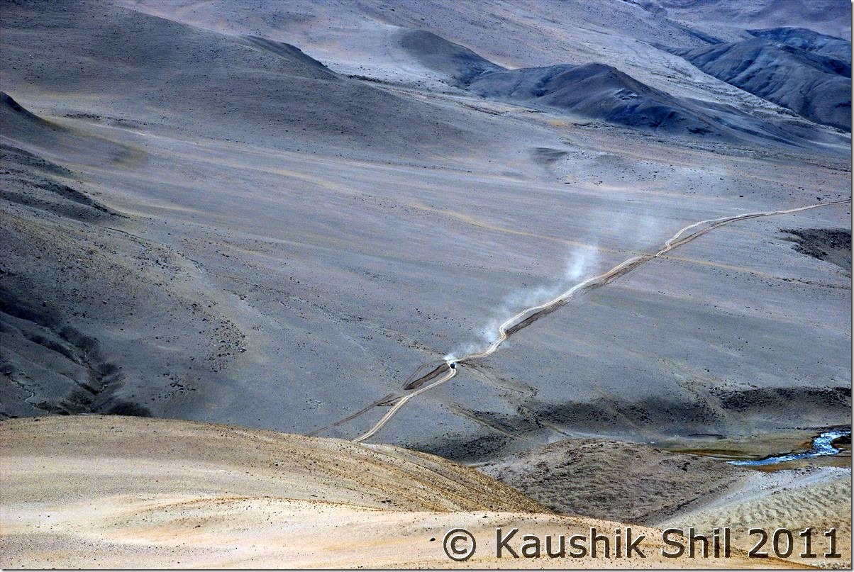
If you by chance go left of this road, you may easily land up in China, going close through the disputed LAC from Chusul to Loma:
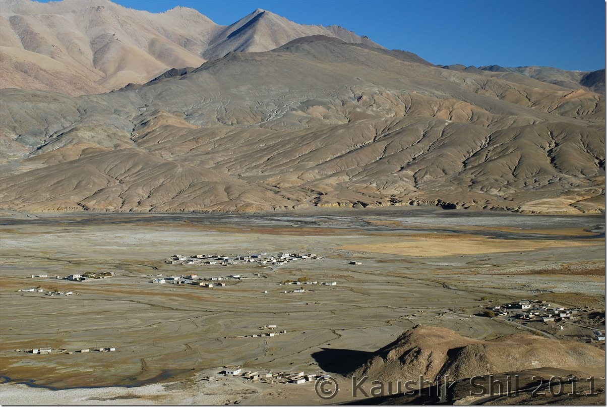
Hanle Village from Mt. Saraswati where the observatory is located:
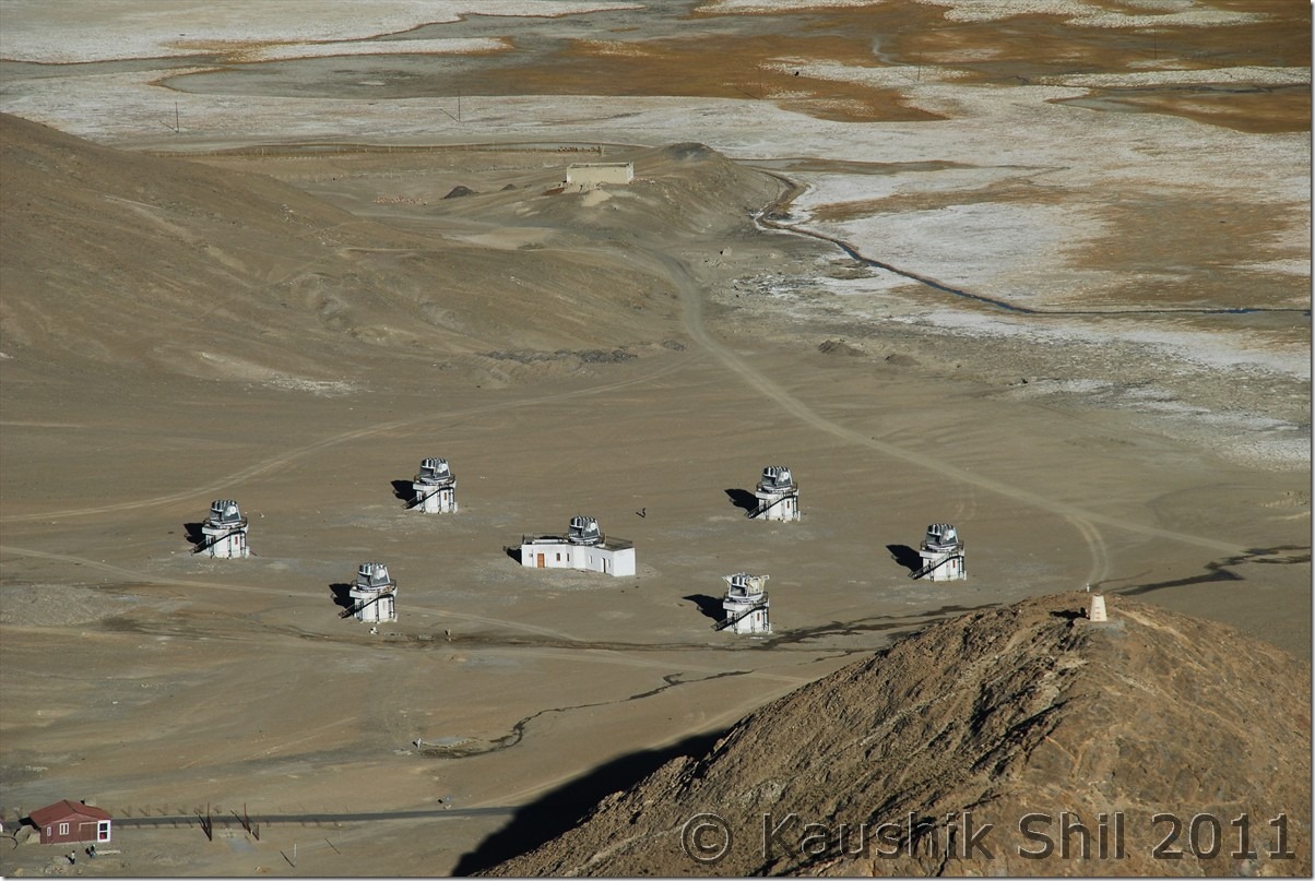
Hagar Telescopes at Hanle, straight from a Sci-fi movie:
Hanle Observatory:
4th October
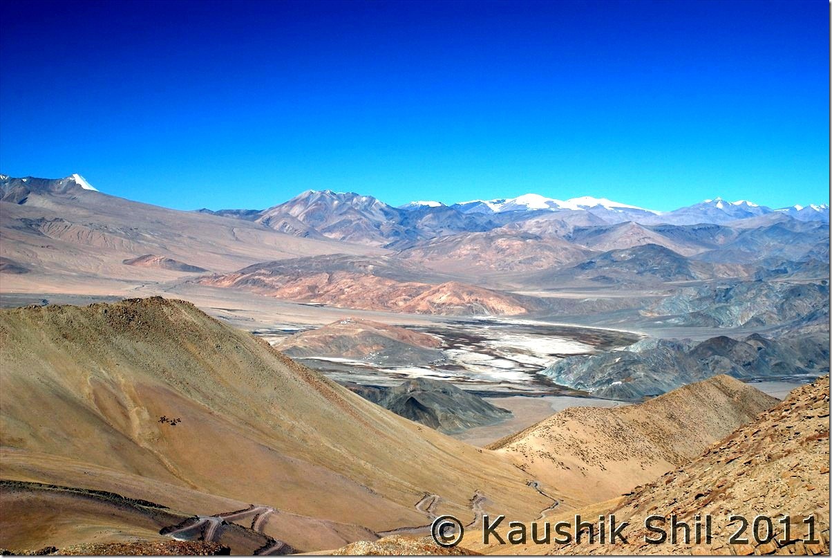
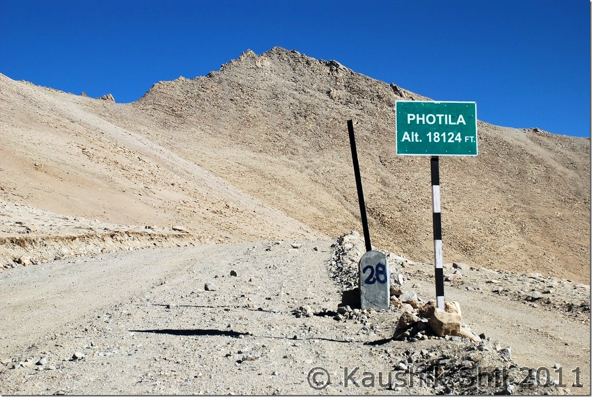
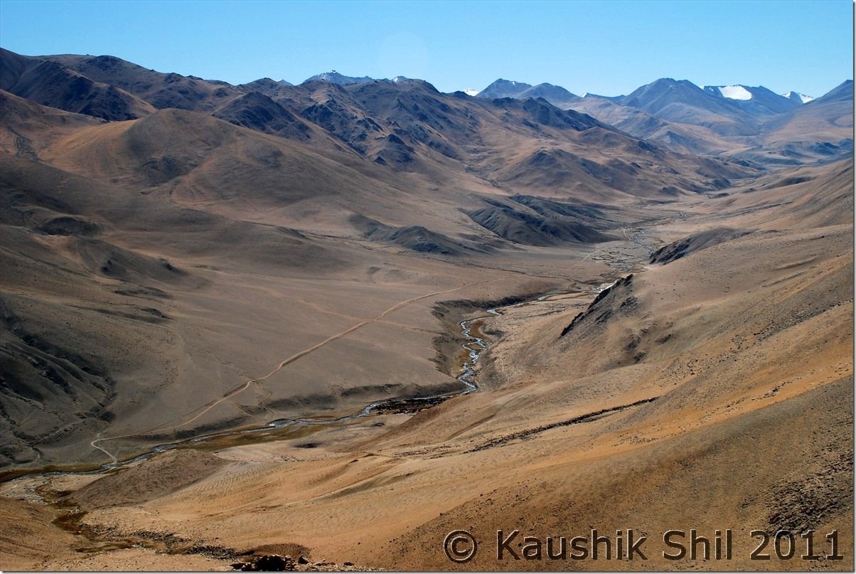
We decided to go for Koyul already and we knew the roads are not known, so thought of leaving as early as we could. Observatory GH serves breakfast at 8.00am earliest which would be too late for us, so we packed some leftover sabji of last night and the caretaker prepared few rotis for us in the morning and it’s 7.30am in morning on 4th we hit the road. Our first destination was BRO Camp near Hanle Monastery to get more information on road. We found a road sign near monastery showing Photi La at 28km and Photile at 55km in the opposite direction of Loma/Rango. Spoken to BRO Camp and they said Hanle division is responsible for building up roads till Top of the mountain which is Photi La and the descent on other end is being built by Koyul division and they have no idea on road in other side. Only thing we confirmed from locals was this side of the mountain was more rocky and on the other side soil content was more and ascent would be difficult from other end. So we made up our mind and decided to ascent from Hanle end and in case we don’t find the route we would have to turn back. The road was paved and the best part was out of 28 km to top, 18 km is tarred as we were informed. The ascent was completely desolate as expected and extremely steep, it was steeper than Wari La ascent. When we reached 18km, the tar road ends and found a BRO Camp there, spoken to the people there, they confirmed road was blasted till top and we could go till that. That’s another 10 km, completely of loose stones and boulders and a very steep climb, we realized we have gone up significantly in those few km, the Hanle observatory was clearly visible at a distance much lower height. Few more switch backs and we reached the top, Photi la is the top and the height shown as staggering 18124 ft. We were very happy to be on the top, taken few snaps, the Hanle valley can be seen from top but you can’t see anything on other side as it was obstructed by mountain range, amazing scenery. After so many days in the region we still have some breathlessness at the top, it was a great height, no two words about it. After sometime at the top, thoughts of descent started coming into our mind, now the problem starts, we were looking at the descent and it’s just blasted the mountain and nothing else have been done, now going back all through to Hanle was risky with so much loose rocks and sharp boulders for first 10km with steep descent and that means we won’t be having any time for Koyul / Demchok. Now we are in a precarious position, we understood we had to take a risk whichever way we take, going back to Hanle means known road but missing Demchok, going forward means unknown road but may be reaching Demchok is a possibility and from top we could see the blasting itself was not completed after some turns, but as Hanle division of BRO said they are not building the road, logically we concluded that definitely some road exists till bottom else roads can’t be blasted at the top in this end. With just that hope we started our downward journey towards Koyul Valley. It was a bone chilling experience, after a few turn we understood we are moving just in momentum as it was no road practically and as usual the photography completely gone out of my mind. All of us were tensed and we were literally removing stones from road in every 10/20 mtrs to avoid underbody damage of the car and making our roads. Time seems to be too long and absolutely no other lives could be seen anywhere. We were extremely lucky as the weather remained dry for almost 2 weeks then else the muddy stretch we faced in between was impossible to cross had it been raining in last 2/3 days. We saw lots of dozers around and that’s only hope as if someone is working there. After almost 2 hours we could find a BRO truck at a much lower height coming slowly, the first encouragement in almost 2 hours of downhill drive. We knew Photile was just 27km from top but didn’t understand what it was as none in Hanle had any idea on that location. We found another road diverting from main road towards down adding more confusion but gradient of the road was even more and we decided to be on the earlier road and tried our luck. We met the truck after almost another 45 mins of arduous descent. The BRO people assured us we are on right track but surprised why we took this road as it’s not open for cars and even locals don’t take this route for its killer gradient. Its there we knew the other road towards down was old road used during 1962 Indo China war and now abandoned. This road is part of the new roads being built along the borders of changthang and ladakh. Photile is point where this road touches the road from Loma – Koyul and it’s southern extension. I am not sure where the road towards south was going but BRO mentioned there is an ITBP check post towards right at Tee Joint at Photile. One can read the BRO procurement document below to understand few new roads from Photile – Demchok (Distance shown just 24km means it would be across another pass straight crossing the mountains), Photila – Chisumla – Zursar (a 80km stretch most likely the one towards southwards) are being built in these regions. I spoken to couple of BRO personnel and other locals who works for Indian Intelligence. What I understand India is planning a road network, though little late to follow what China has already done on the other side of LAC. Tsomoriri – Chumur – Salsal la – Hanle – Photile – Demchok – Koyul – Loma – Tsaga – Spangmik – Tangtse – Durbuk – Shyok – DBO – Saserla – Sasoma – Nubra is one of the possible link across the LAC.
BRO Procurement Document mentioning the new Roads
Article on Ladakh by Romesh Bhattacharji
The map in Wikimapia showing the roads quite correctly between Hanle – Photile – Koyul – Demchok.
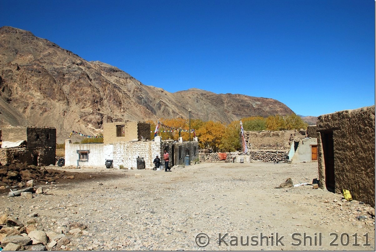
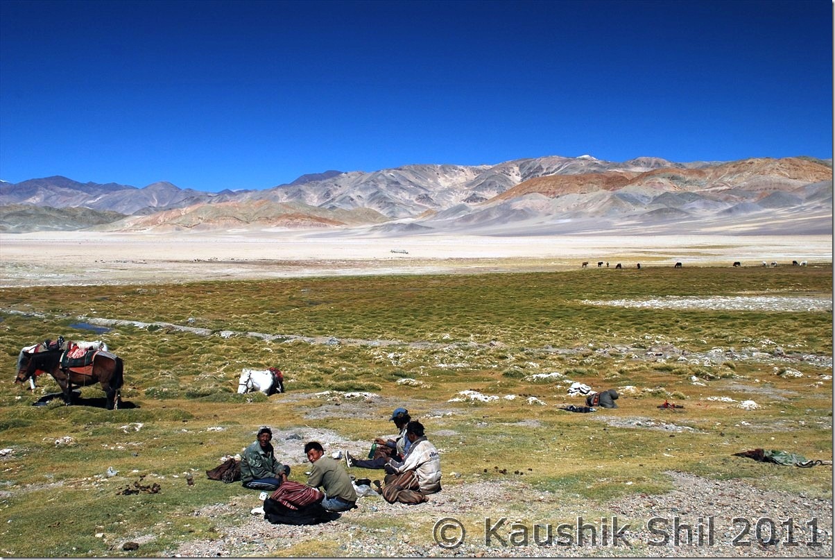
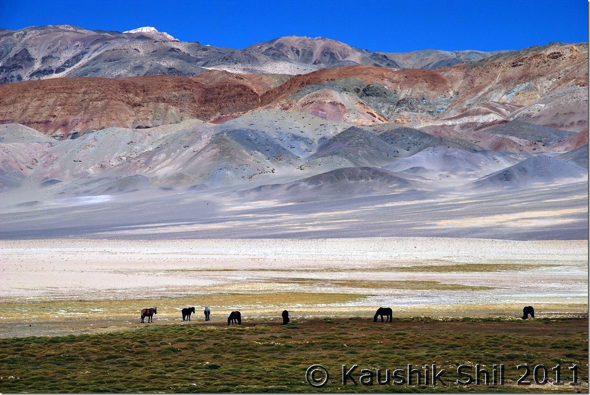
Once at Photile we took the left (Northwards) towards Koyul and in another half an hour we reached Koyul village and as we approached from south side, we escaped both Dungti and Fukche check post on our way. We found no shops in Koyul open and finally again Regzin was saviour to get some tea managed from a local house. This is the place where we had to take a call, should we go for army permit from Fukche, we knew we had to answer a lot of questions for not coming through normal route via Loma and also it would be time taking and we may be declined for permit to Demchok. But ideally you need to arrange an army permit from Fukche airbase for visiting Demchok. We discussed a bit and then took a daring yet risky decision to move towards Demchok without any army permit. Regzin was confident and he just told us to mention as his guest. Demchok is a village that got partitioned during 1962 war and a part of it is now in China and rest in India. What I understood later, people from other villages do visit Demchoks to their relatives and army normally doesn’t interfere to the cars going straight to village. Regzin mentioned we can’t stop for any photography as everyone watching our cars from OP and a slightest doubt could prove costly, so all photographs had to be taken from moving cars, so be it, only prayer was we should be able to reach Demchok. We took almost a sharp right turn before the Fukche base towards Demchok and my goodness the colors of mountains were absolutely brilliant, looks some kids have used their crayons to color them, you can see patches of all possible colors in those ranges. Both sides army OP were present and we were driving through Indus basin which is otherwise a desert with bad lands like Rann of Kutch. The feelings hard to describe in words, it’s terribly dusty with a tremendous hot sun all through. There was an amazing flat land of 5km which seems as if you are driving through a runway, simply magical and Regzin mentioned in army the stretch is known as “Chandigarh Airport”. We reached Demchok and there is a post there, we were scared now but luck was with us, it was unmanned for then, here one road goes up towards army camp and other runs in same height towards village. Regzin straight away drove to village and as a veteran of 1 year there, he knew many villagers, we again had nice rounds of milk and butter tea and Maggie there. The Rotis and Sabji we were carrying from Hanle was there too for a nice lunch. It was a great lunch sitting at the Village and in between there is a Nulla of 50 ft and on other side we could see Chinese army watching our every move. We gone to the dead end of the road in Indian side to the hot spring and spoken to our army too. They didn’t ask much apart from why we were wasting time there during Dussera. They were very nice persons, offered us tea, biscuits and my kid was offered an energy drink as well. Regzin introduced us as his guests and himself as an ex army of Ladakh Scouts. The road in Chinese side was much wider and better and gone beyond we could see into those mountains where as our road ends at this hot spring. It was finally done and in a much better way than reporting to army camp and submitting your camera there and then escorted by army to visit these same places though not at all a recommended way. Thanks to Regzin for his army background and of course our luck, it was possible. We started our return journey soon around 2.30 in afternoon knowing we would be extremely late to reach Hanle. Return was all through the magical mountains and Indus following you all through. We were not stopped at Fukche Post and we straight away leave Koyul and decided to back through normal route as Ascending Fotula from Koyul end was simply not possible without a 4X4. We reached Dhungti and Regzin somehow managed the check post guy, obviously he asked how we gone into without entering into the post. Regzin managed that and we started from Dhungti around 5.30 and after crossing Loma at 6.00pm we got the tarred road again which we left 10km before Photula Top. We reached Hanle at 7.10 finally with extreme tiredness but with a big satisfaction.
The Car Odo reading was as follows:
Hanle – 569
Fotula- 591 (28km but we took couple of short cuts)
Fotule 618
Karle (a small village) – 626
Koyul – 634
Demchok (Hot Spring) – 677
Koyul – 720
Dhungti – 764
Loma – 780
Hanle Observatory GH – 837
Hanle Valley and Road to Top from Photila:
The height may show its lower than Khardung La but this is most certainly most difficult pass I have ever encountered in India, the approach is very steep and almost no road and no soul around with very less oxygen, this is pass that would beat your heart faster for sure.
Photi La Top:
The Road to South towards the border, an ITBP Post is there:
Truck Approaches on the dusty Road:
Koyul Village:
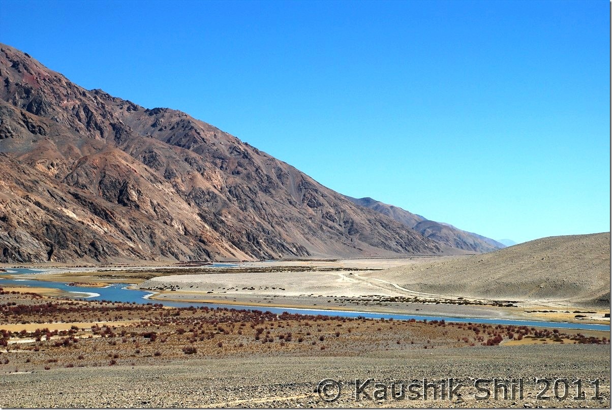
Towards Demchok with colorful Mountains and nice Meadows:
Note the Chinese Roads at the other side of Indus clearly visible:
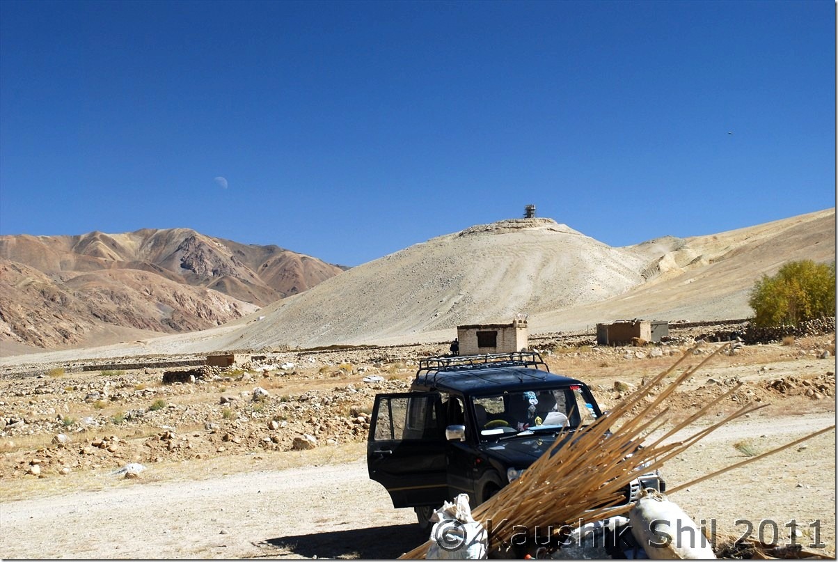
Demchok Village and at the backdrop Chinese Watch Tower:
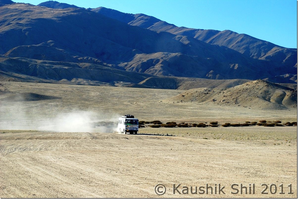
JK State Transport Bus coming to Koyul once in 15 days :
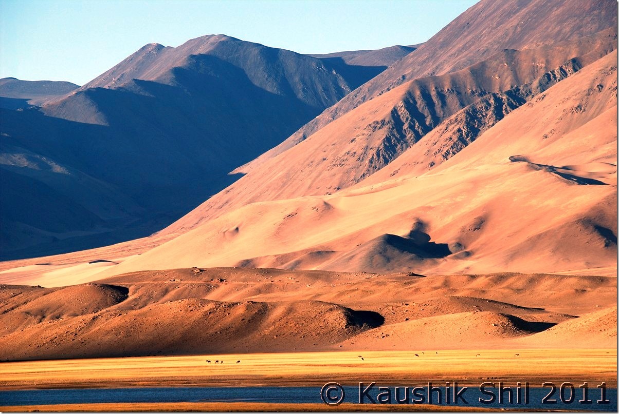
Amazing Colors of Mountains in setting sun:
Previous: Ladakh – Journey to Pangong crossing Wari La & Chang La
