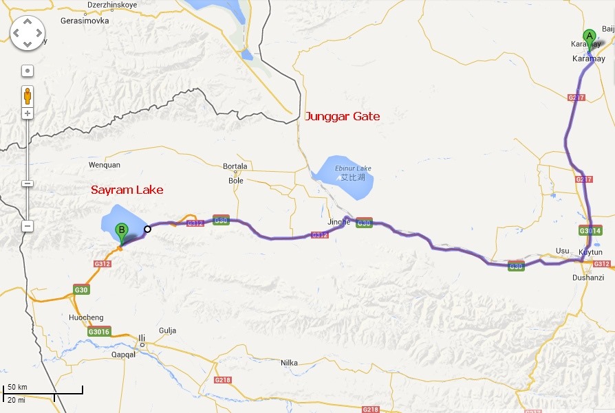
Today’s Route map:
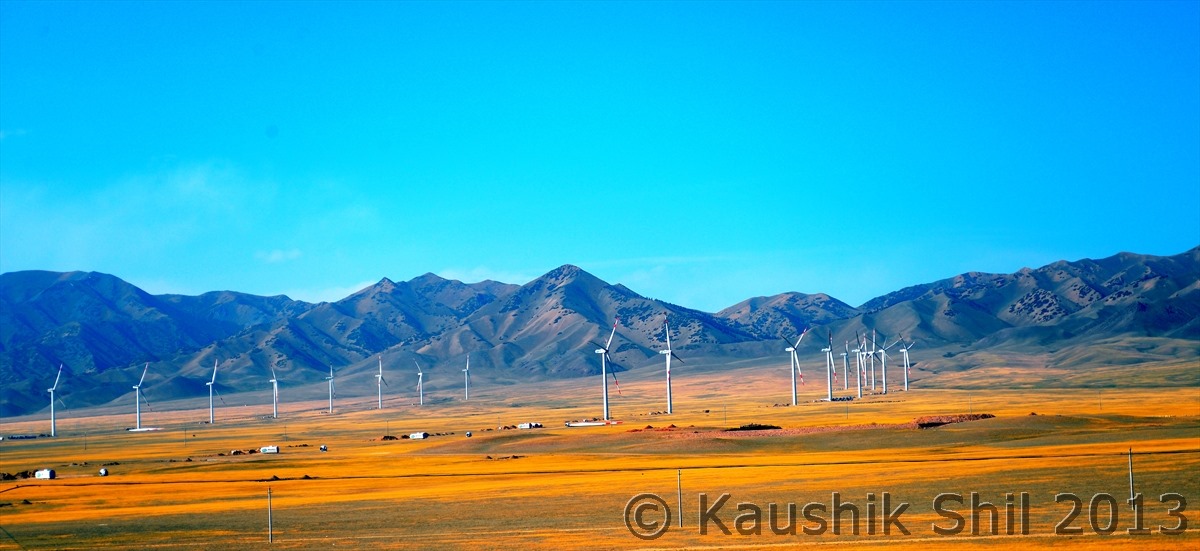
The hotel at Karamay was also a 4 star hotel as per Chinese standard and we got first time in the trip the option of an English breakfast and needless to say we have made most of this unbelievable change of our luck for food and had the longest breakfast of the trip. When we started it was already 11:00 Beijing time. Our journey for the day was relatively short but still around 350km and we planned to take 217 further down till Kuytun and then turn right (west) to G30 towards Sayram Lake which is located close to the border of Kazakhstan. From Kuytun towards west, expressway G30 runs parallel to Tienshan through dark fields of cotton with lighter strips of land sown with corn. We saw lots of migrants pickers from erstwhile Soviet countries form lines with baskets on their back and walking from the field to other side towards waiting trucks to be filled with tons of cottons. The Rail road from Urumqi accompanies the highway all through till Jinghe where the railway finally departs by turning north towards Alataw port, historically known as Junggar Gate, the strategic pass between the high mountain ranges of Central Asia through millions of years, historically allowed human migration and conquering armies to bridge the Europe with Asia. Through this the North Silk route used to pass before it crossed Caspian Sea to cross over to Europe. Today the importance of this place is, that it’s the only year long open border and only rail route between Xinjiang and Kazakhstan. Other side of the border is Dostyk in Kazakh and from there the rail route skirts Alakol Lake and meets Turkey-Siberian Railway near eastern like of Lake Balkash, from there North will take you to Moscow and South to Almaty.
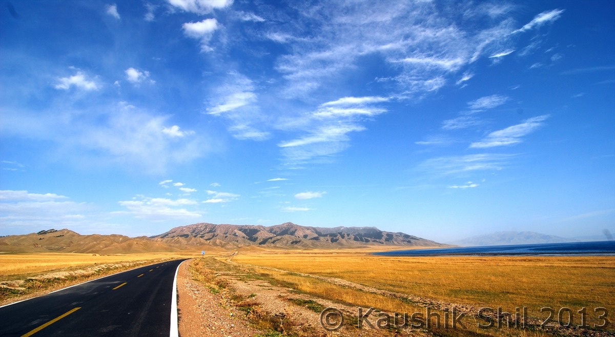
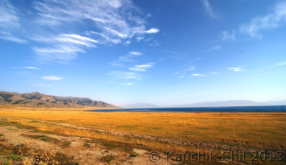
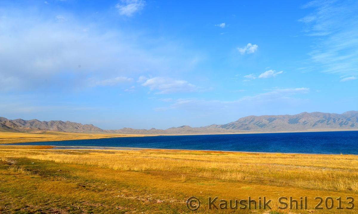
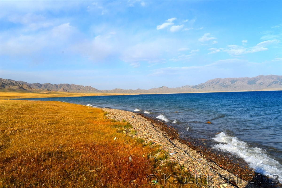
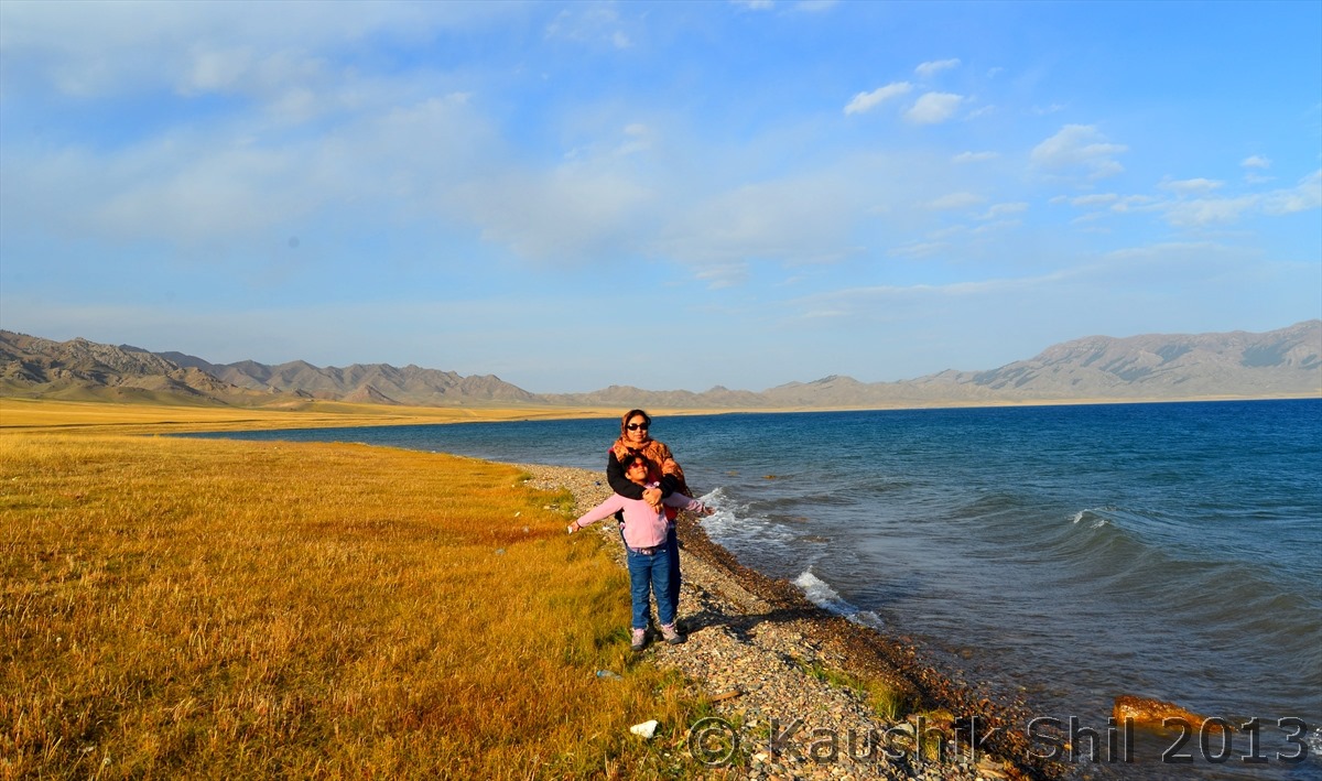
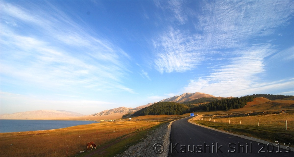
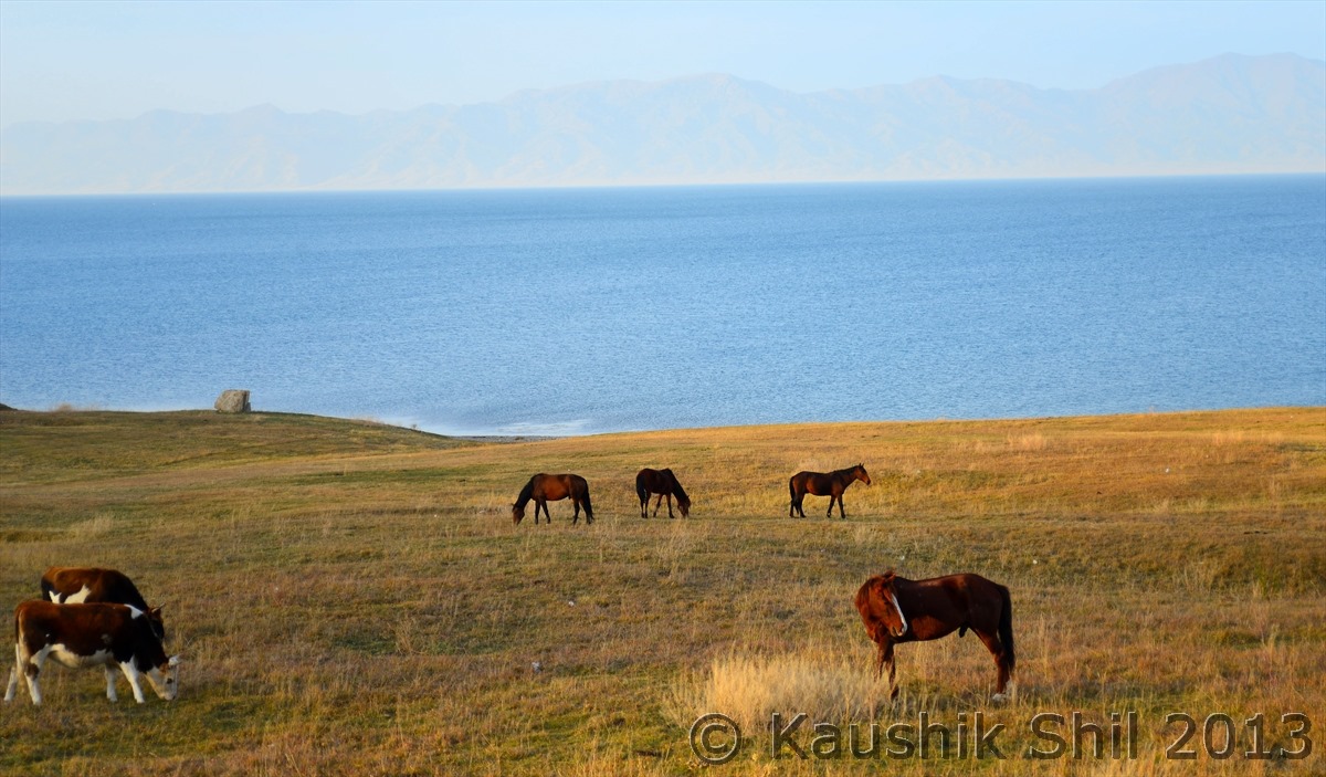
From the same point where railroad departs to North, G30 continues to west leaves Junggar basin and climbs through the broad valley of Tienshan. Once up, the first view will draw your attention towards the stunning expanse of vast blue water known as Sayram Lake. In Kazakh, Sayram means blessing, this is situated almost 2100 mtr above sea level and 30 km at longest and 25 km at widest point, makes it Xinjiang’s largest Alpine Lake. You can drive through 50 km through the circumference of the lake if you buy an entrance ticket from East gate and can drive out through South Gate. The lake is said to be formed almost 70 million years back because of a tectonic movement that caused the plate crust to drop almost 90 mtrs to form the lake. The lake gets frozen between December to April every year and then from May the water started melting and in Summer with the surrounding mountains slopes with grassy fringes creates a stunning setting for the deep azure colored lake with lots of wild flowers blooming all around. If someone really wants to enjoy the beauty of Sayram, he should be there in June/July. In Autumn we enjoyed the red and yellow grass and nomadic cultures and the gem like lake but the photographs we saw in visitor’s center certainly tells it’s the summer when one should visit this heavenly place. We stayed very close to lake in a hotel, which seems to be only hotel in the area, rest all accommodations are yurt type and in October, temperature at night drops drastically we decided to stay in hotel, after all still we had a long way to go.
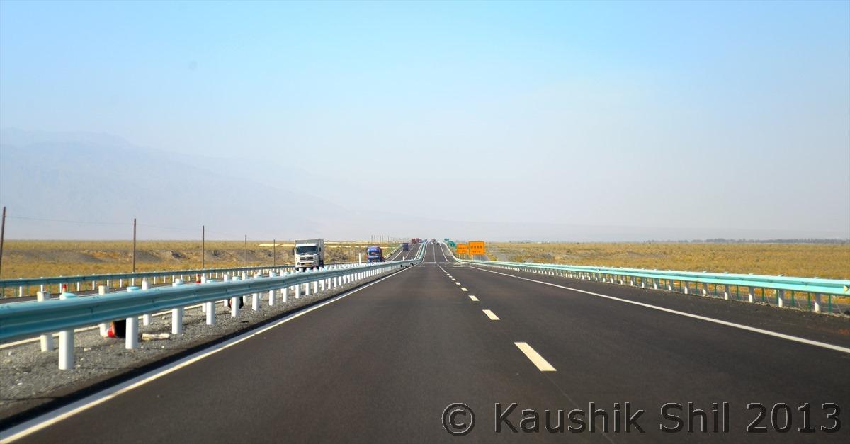
On the way From Karamay to Kuytun in Highway 217:
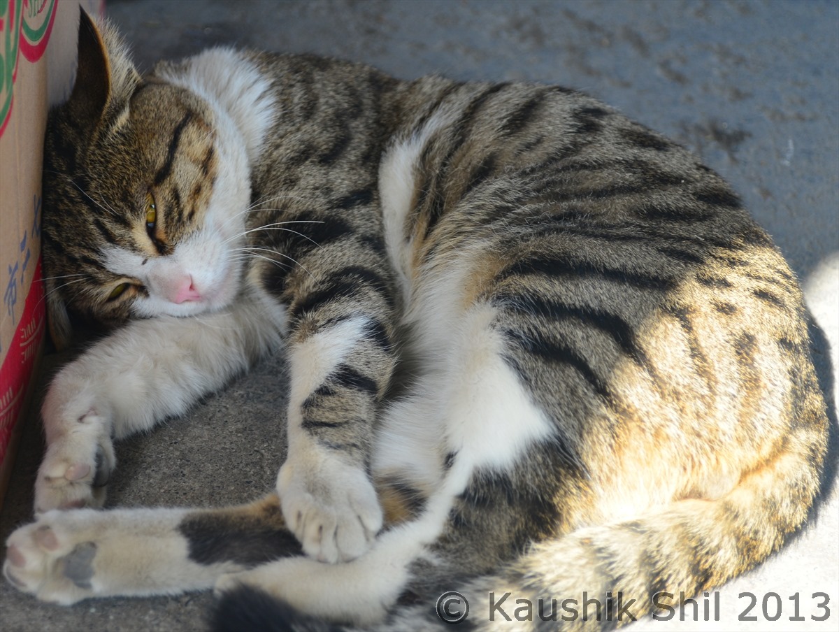
Looks relaxed but watching everything, typical Chinese Cat 
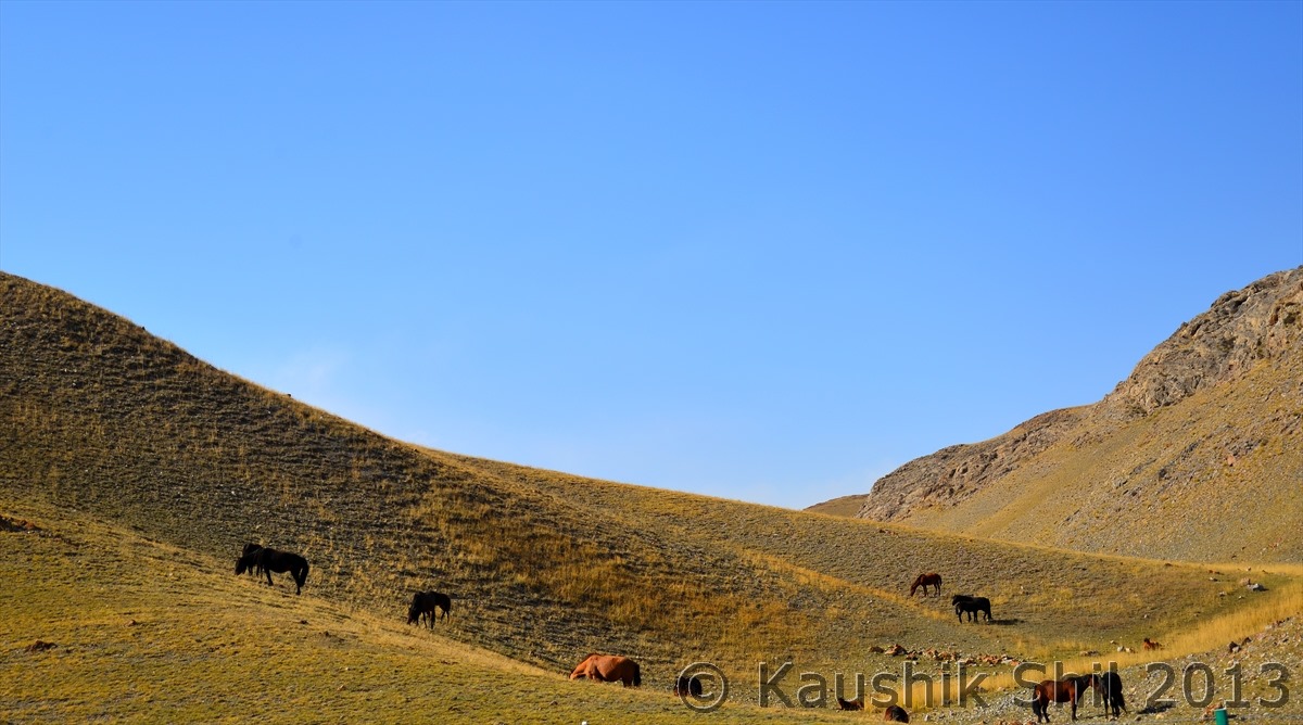
Pastureland:
On the way in G30:
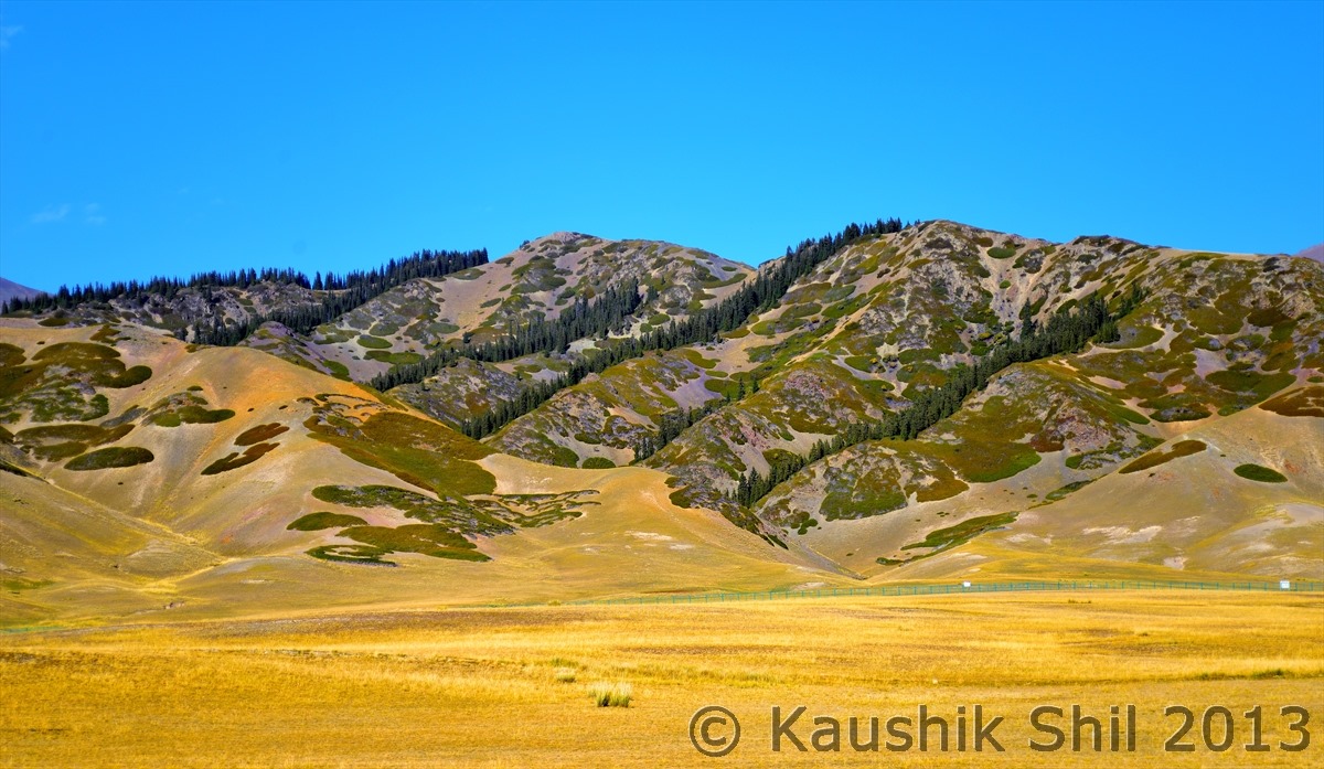
Colorful Mountains:
Entering Sayram Lake Region:
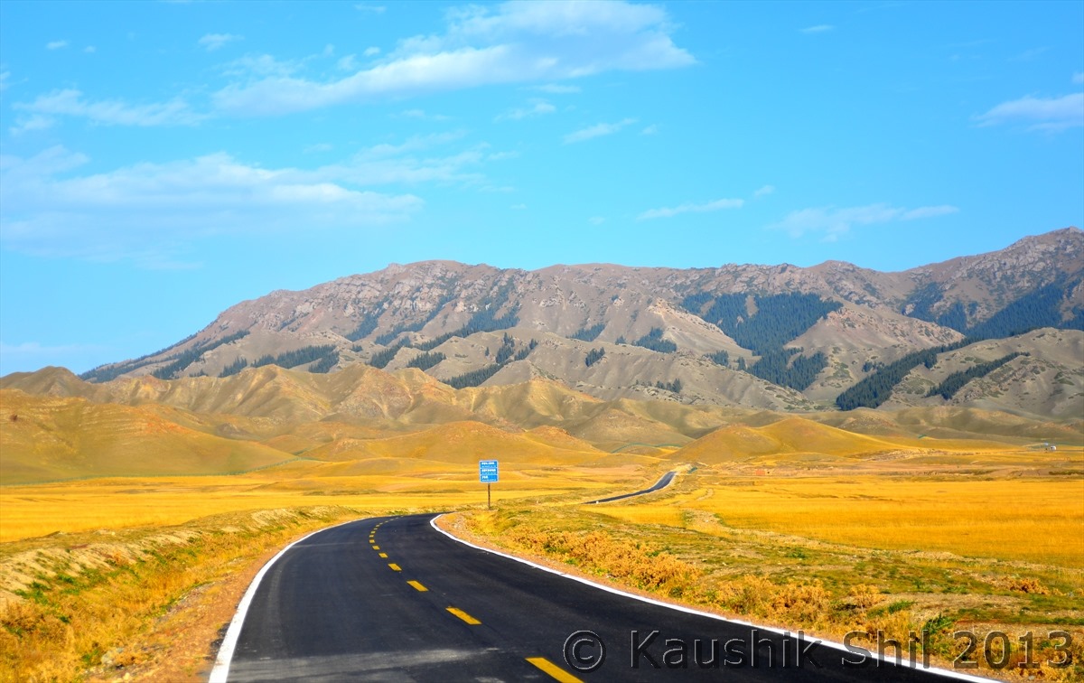
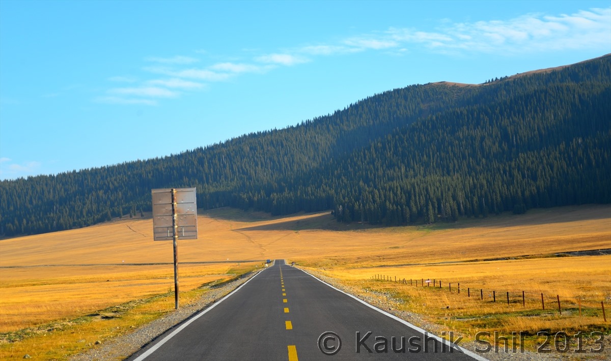
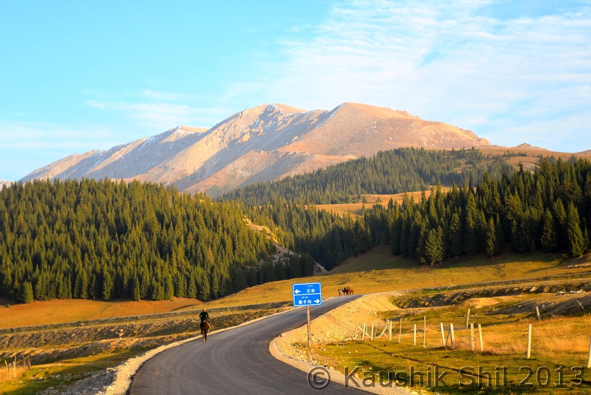
Beautiful Road ascending through the mountains:
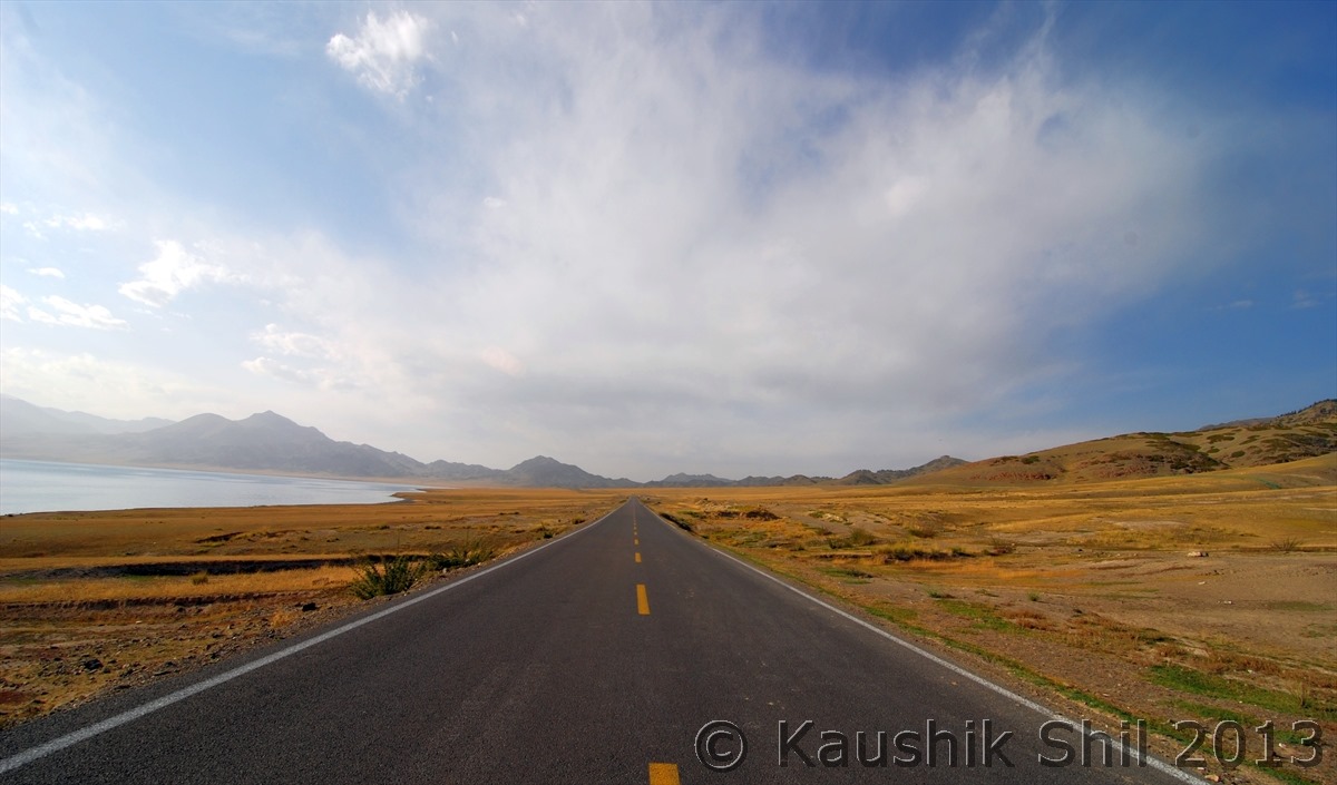
First view of Sayram lake:
Sayram Lake (In Kazakh Sayram means Blessing, we really felt blessed being there):
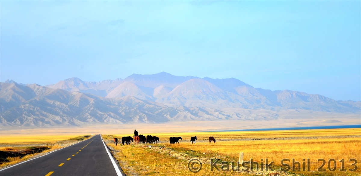
Kazakh Man with his horses:
The Lake from other side:
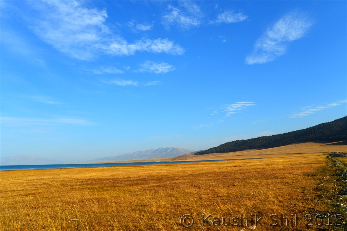
The amazing Landscape around Lake:
Pastureland around the Lake:
The winding road towards Tienshan:
Previous: Day 5
Next: Day 7
