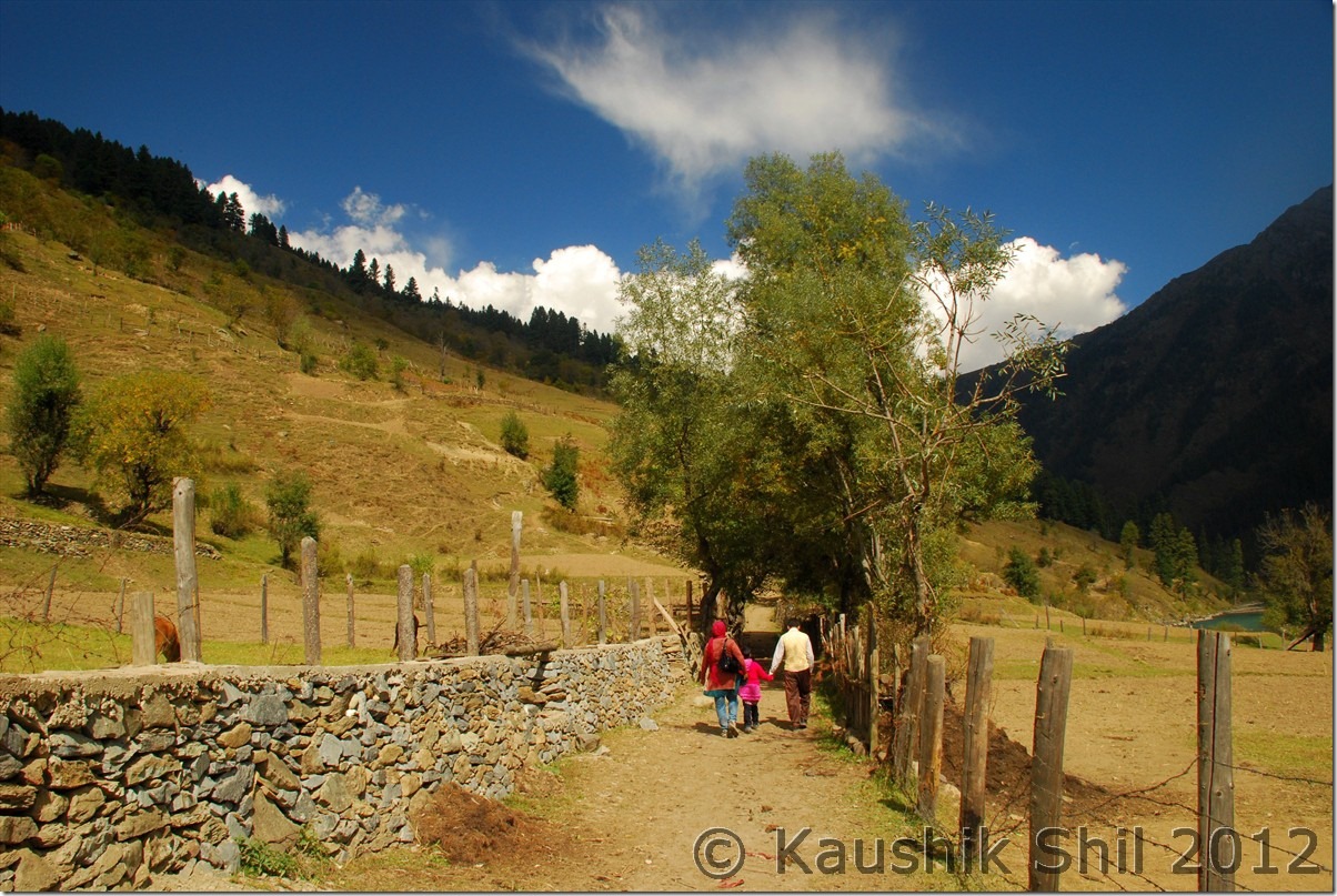
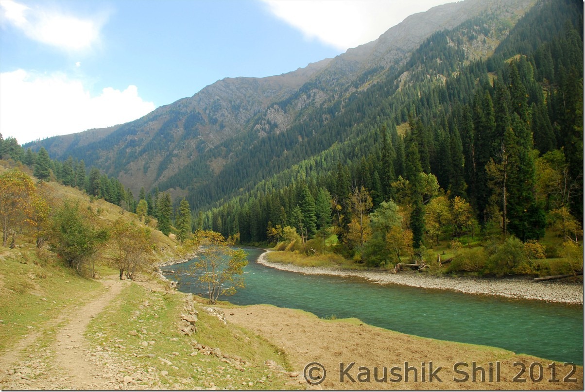
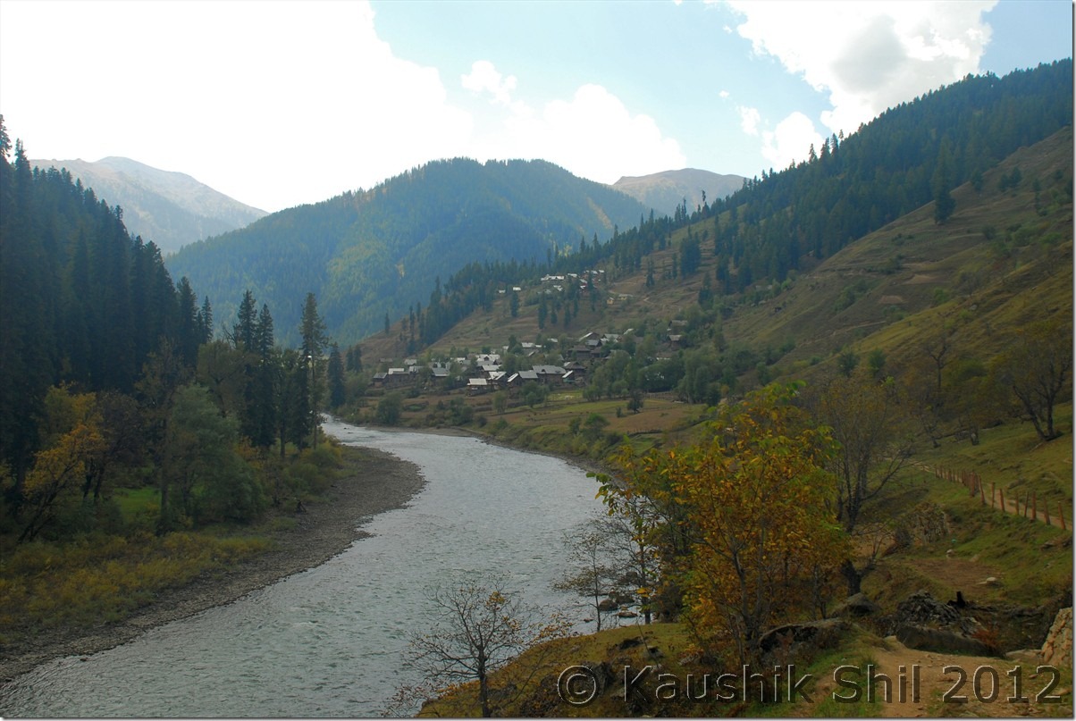
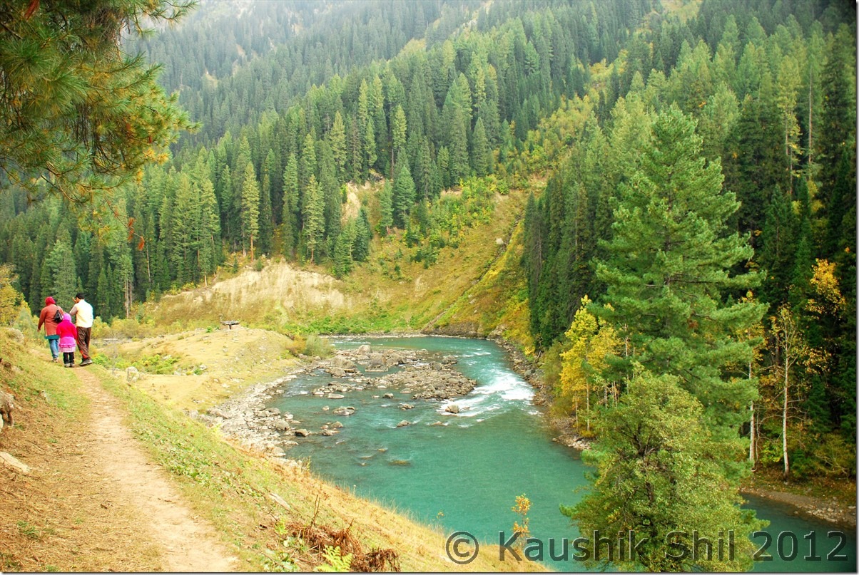
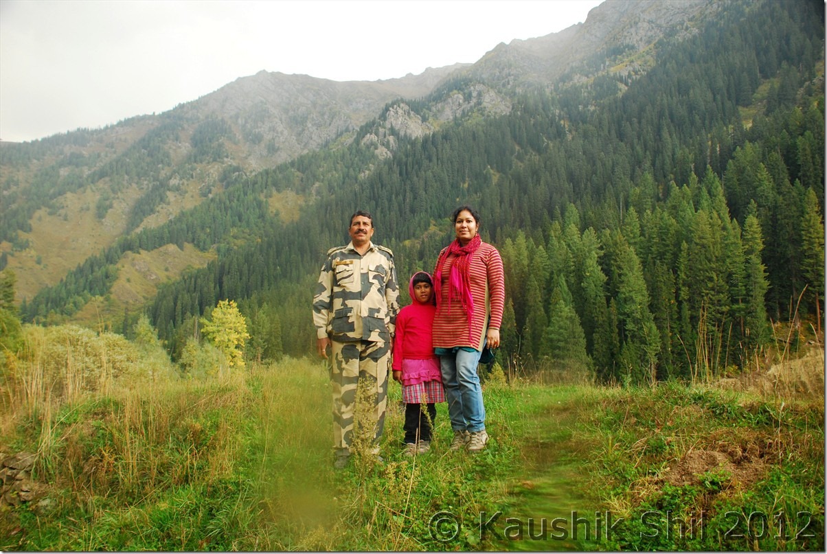
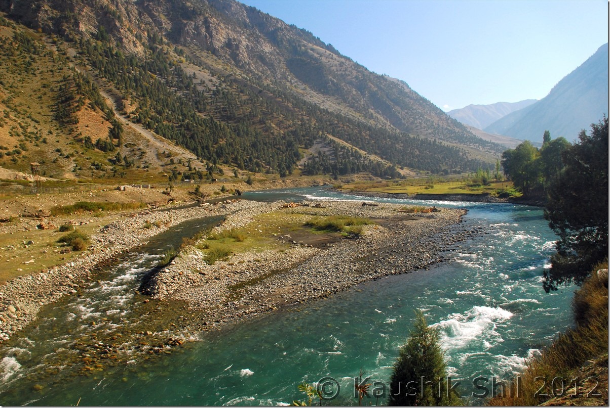
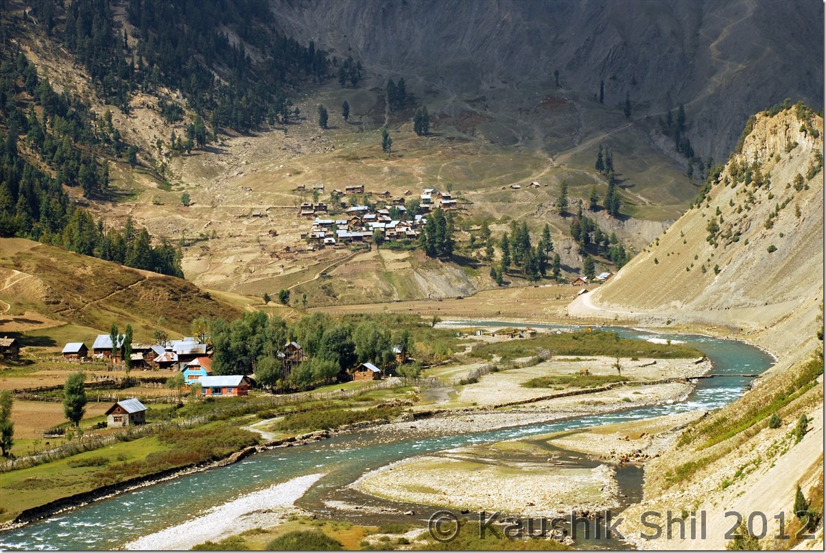
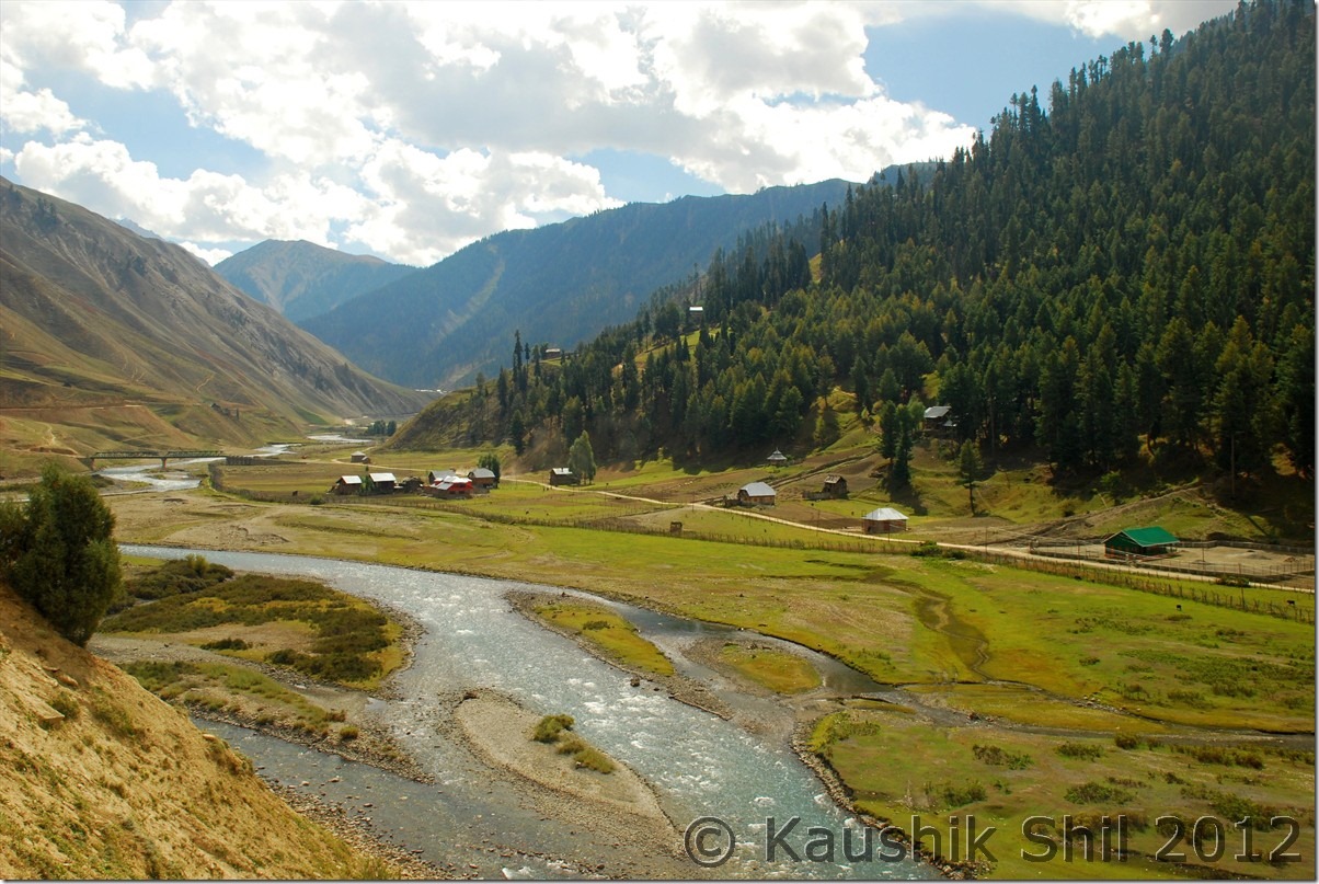
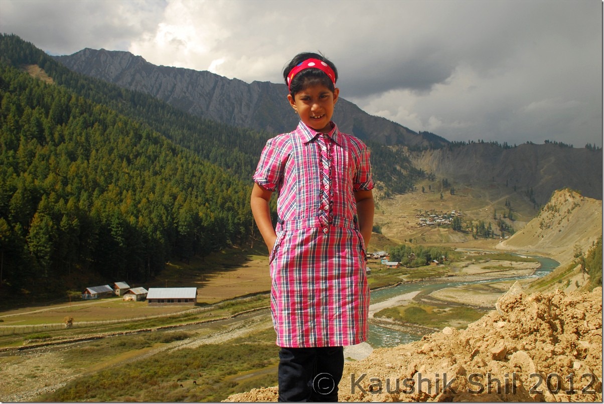
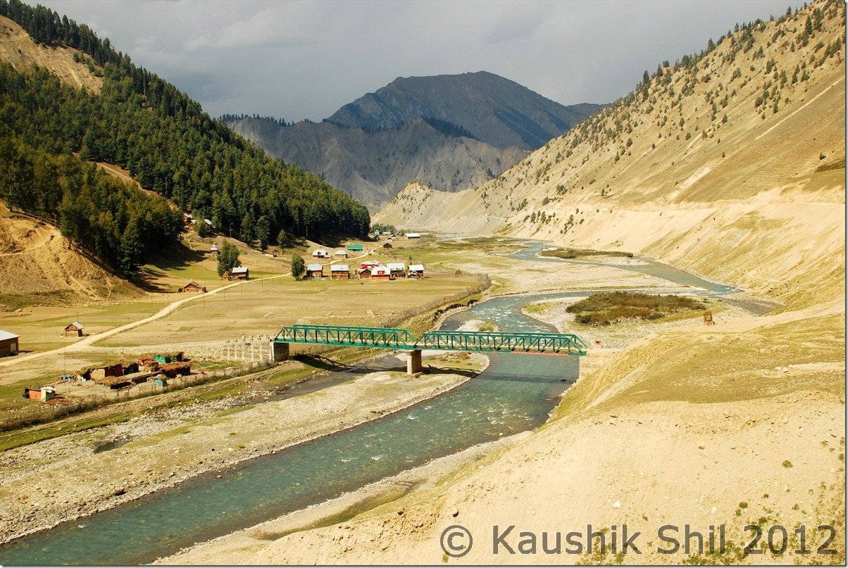
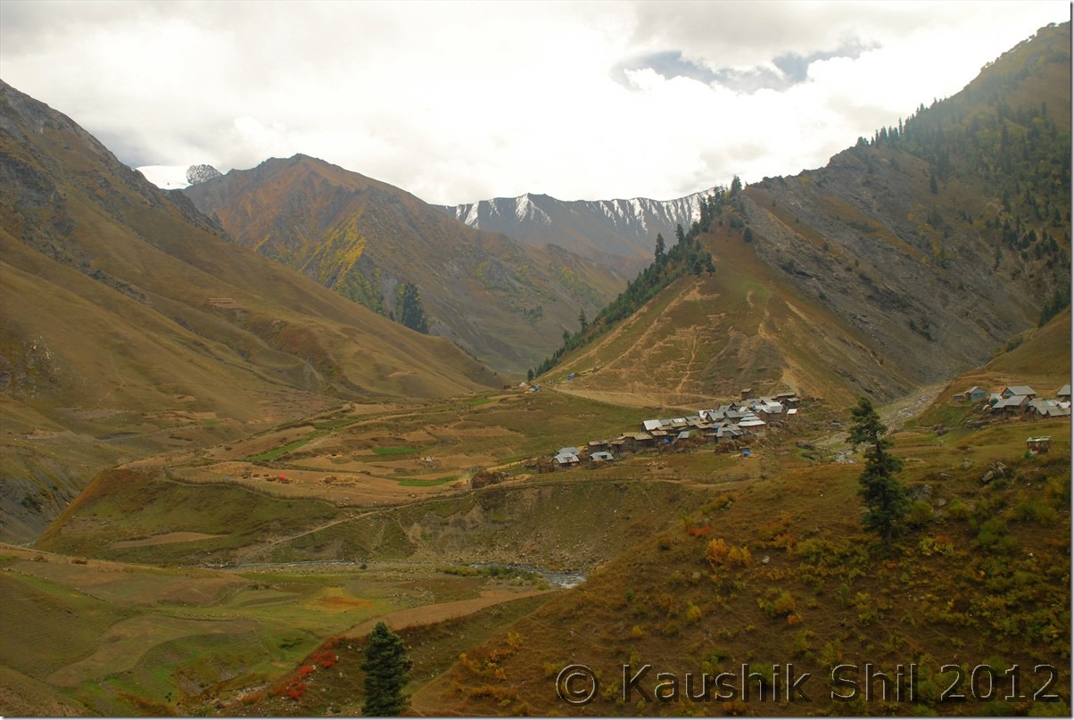
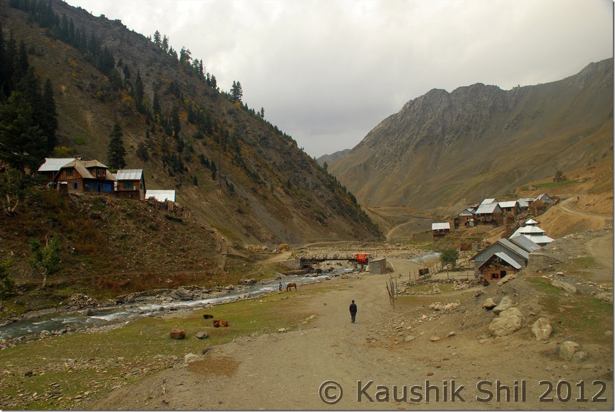
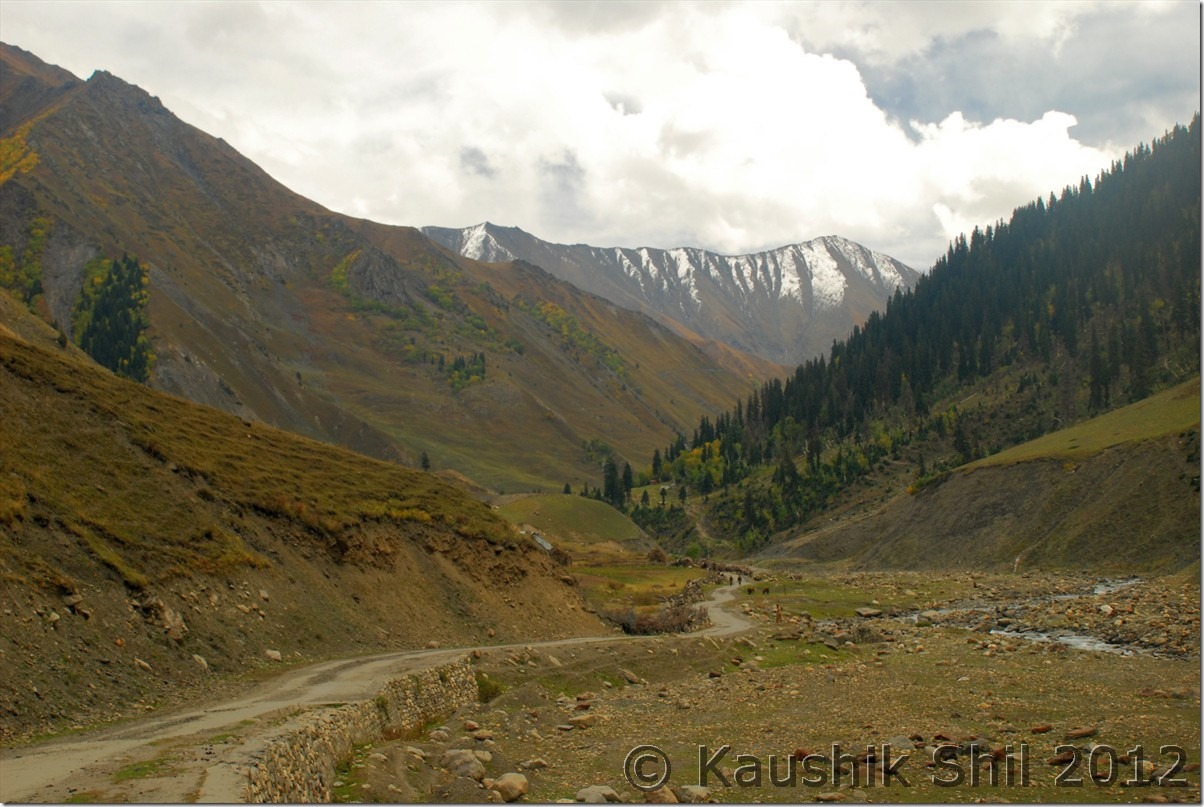
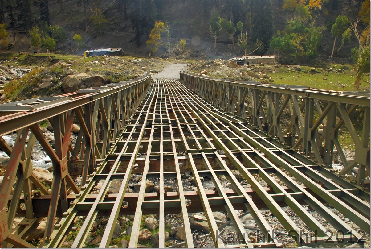
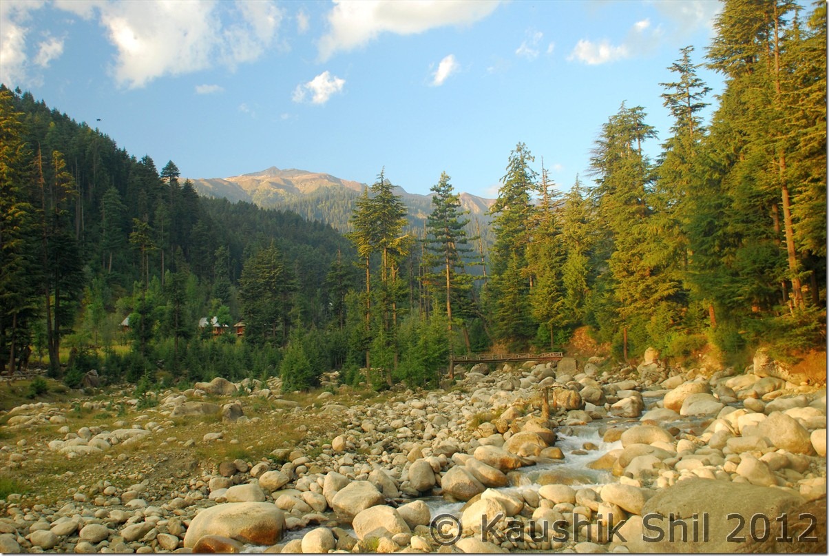
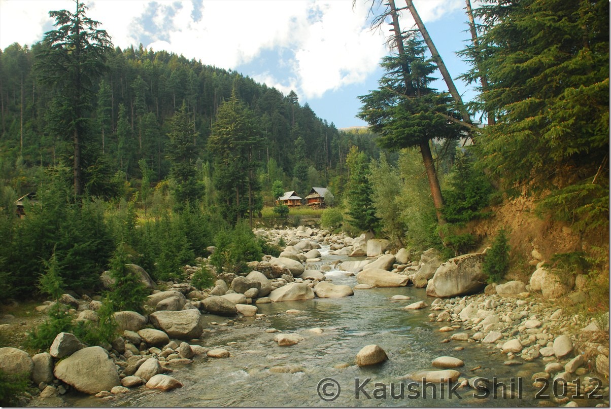
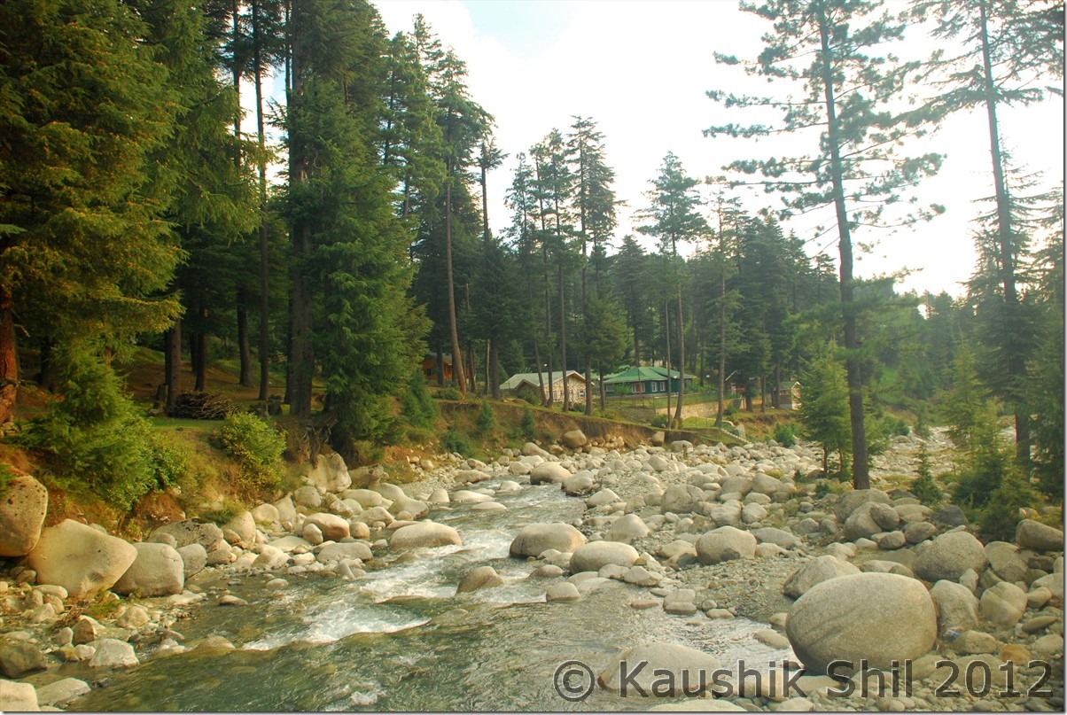
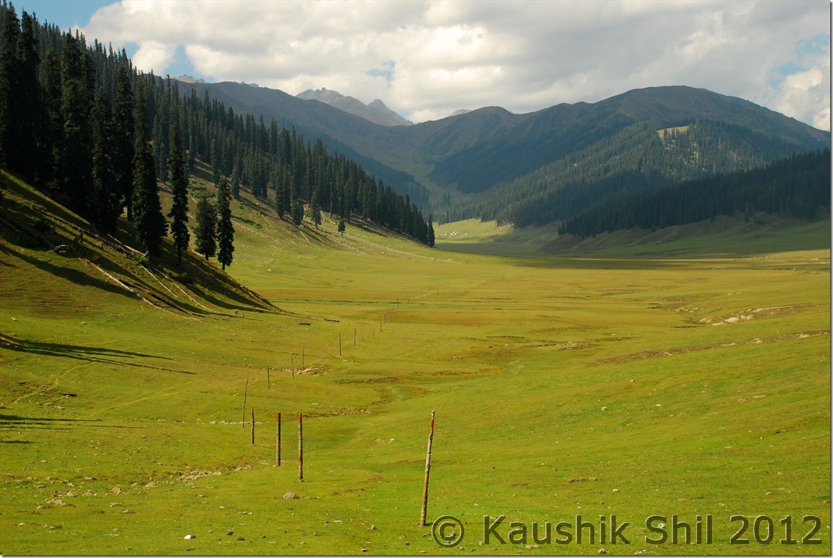
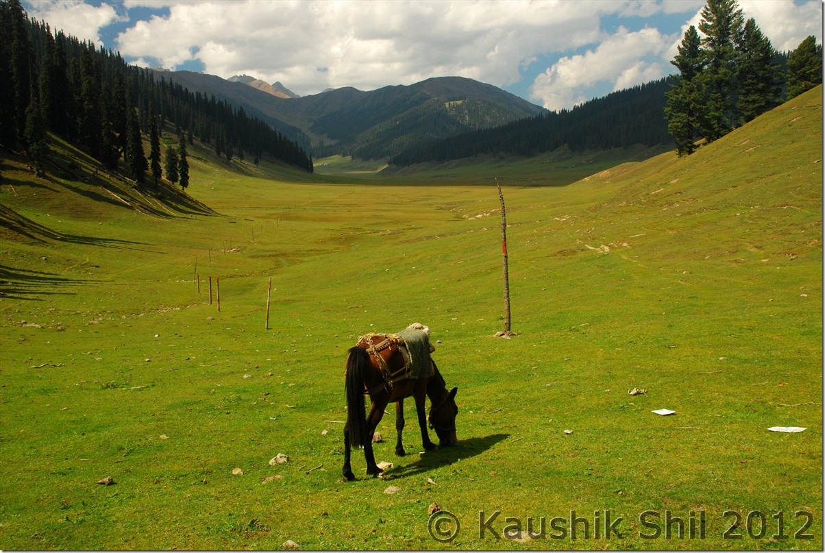
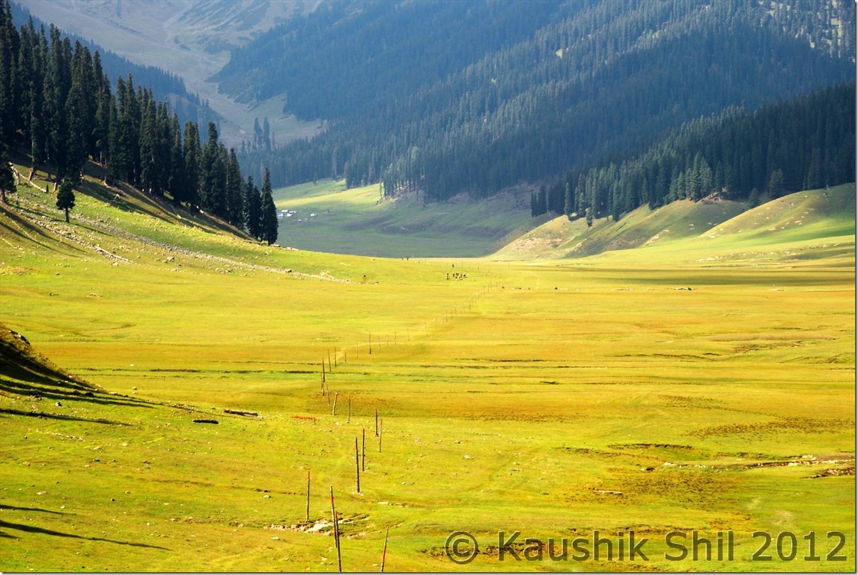
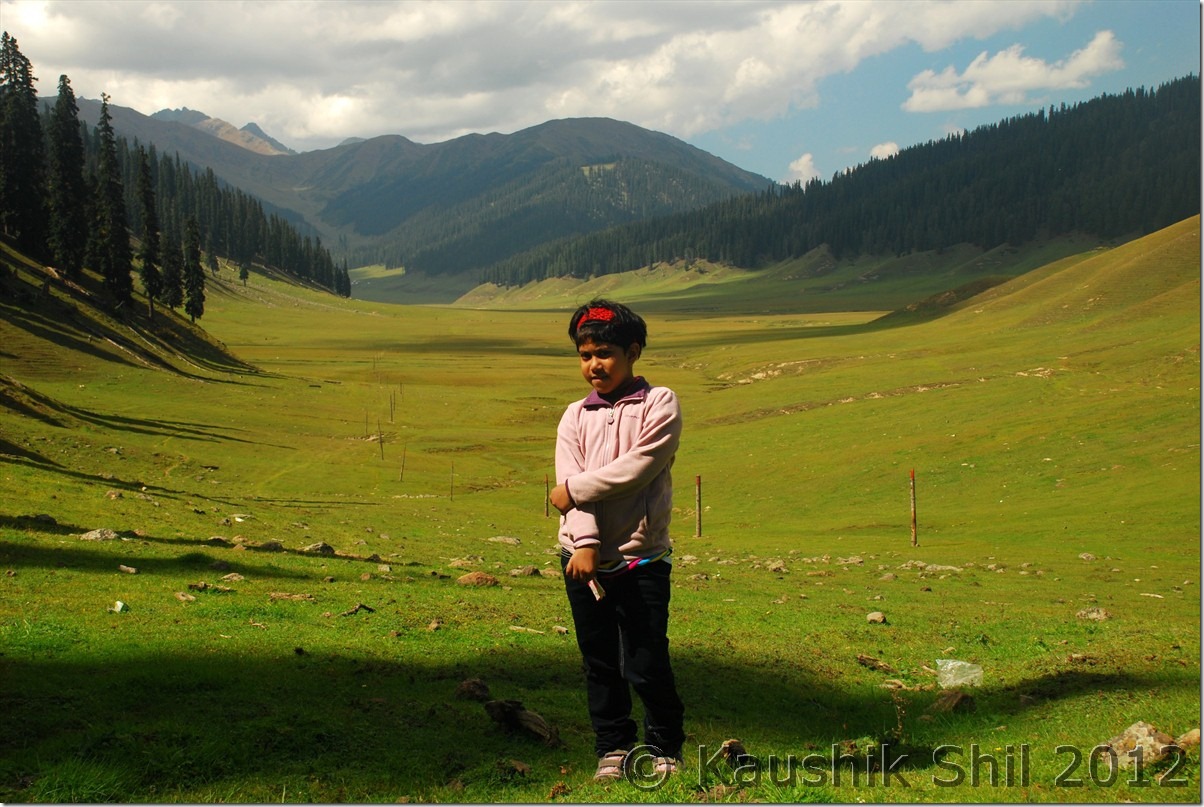
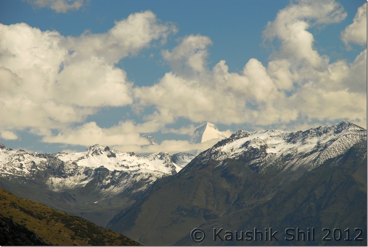
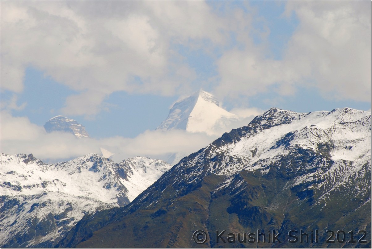
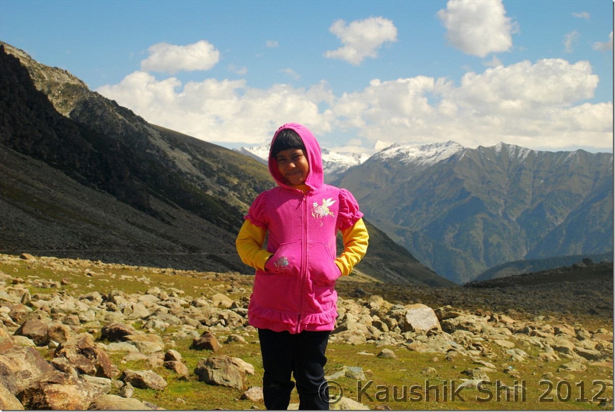
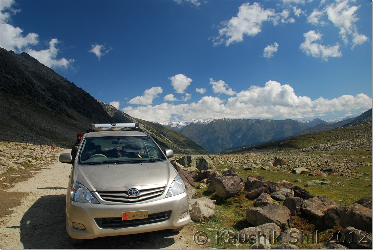
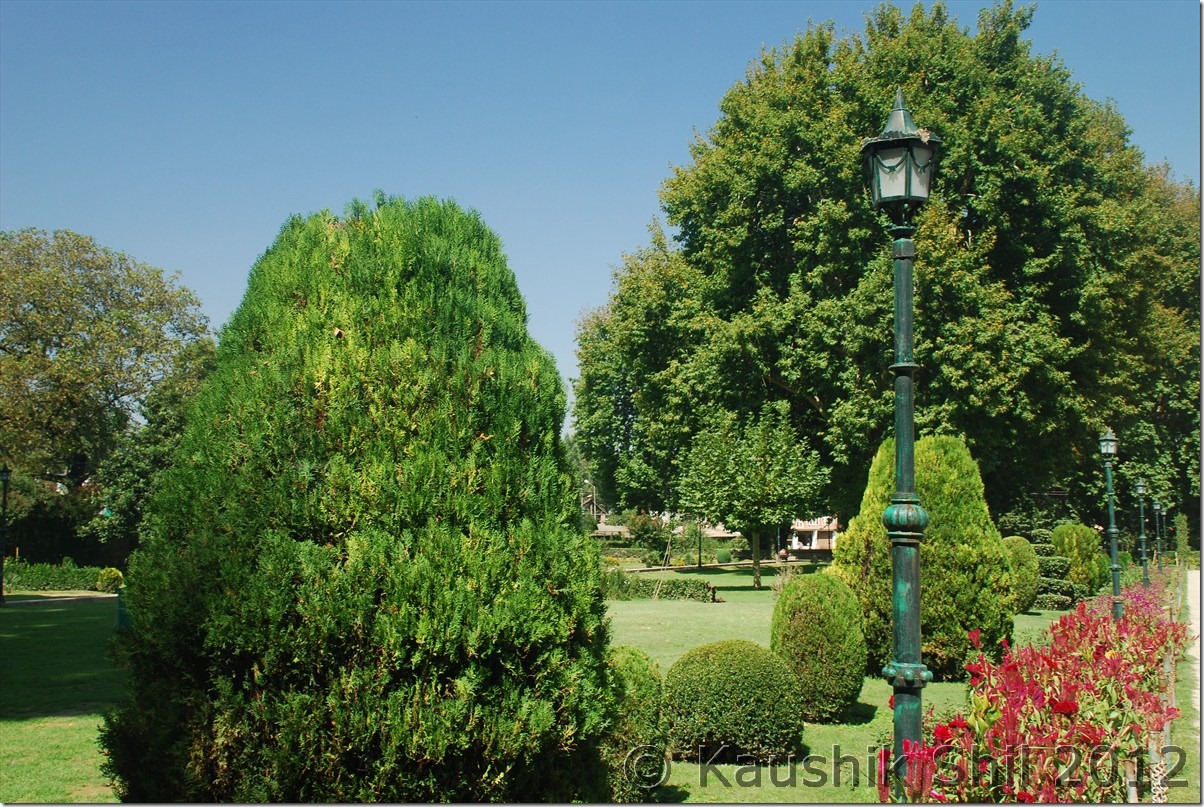
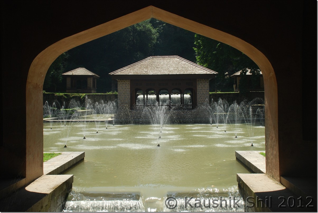
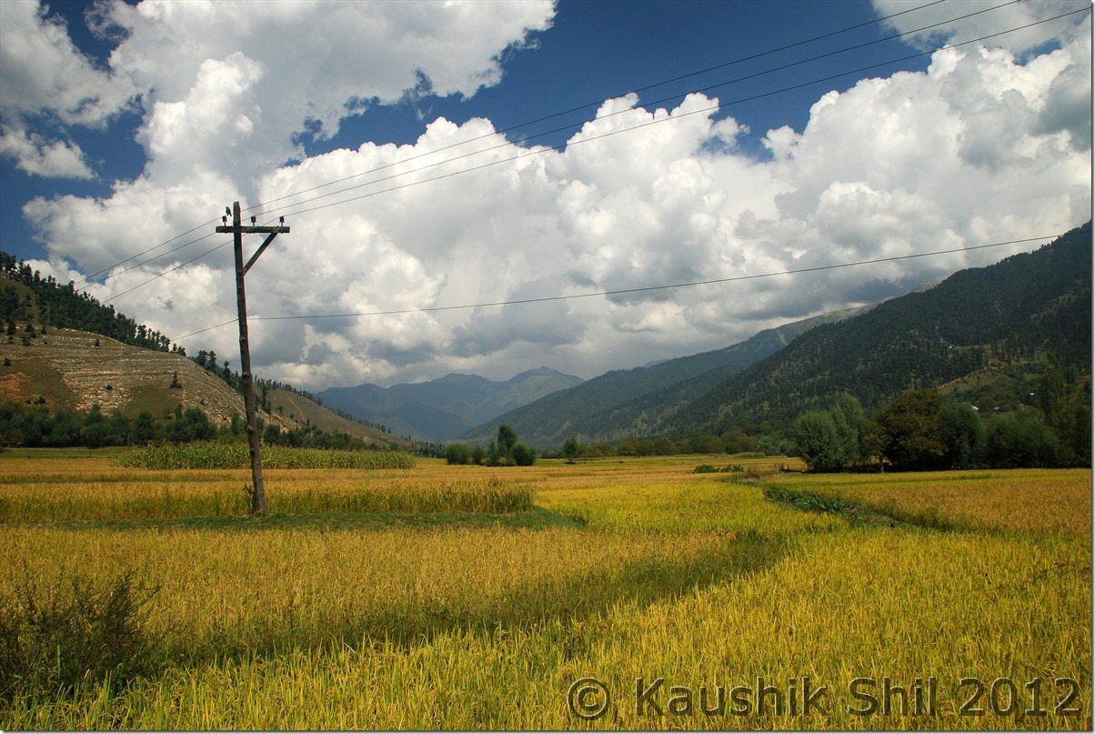
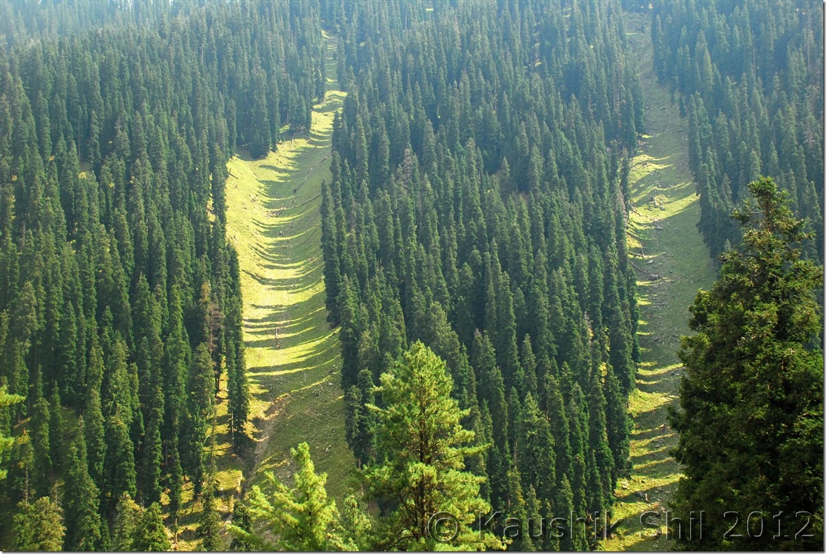
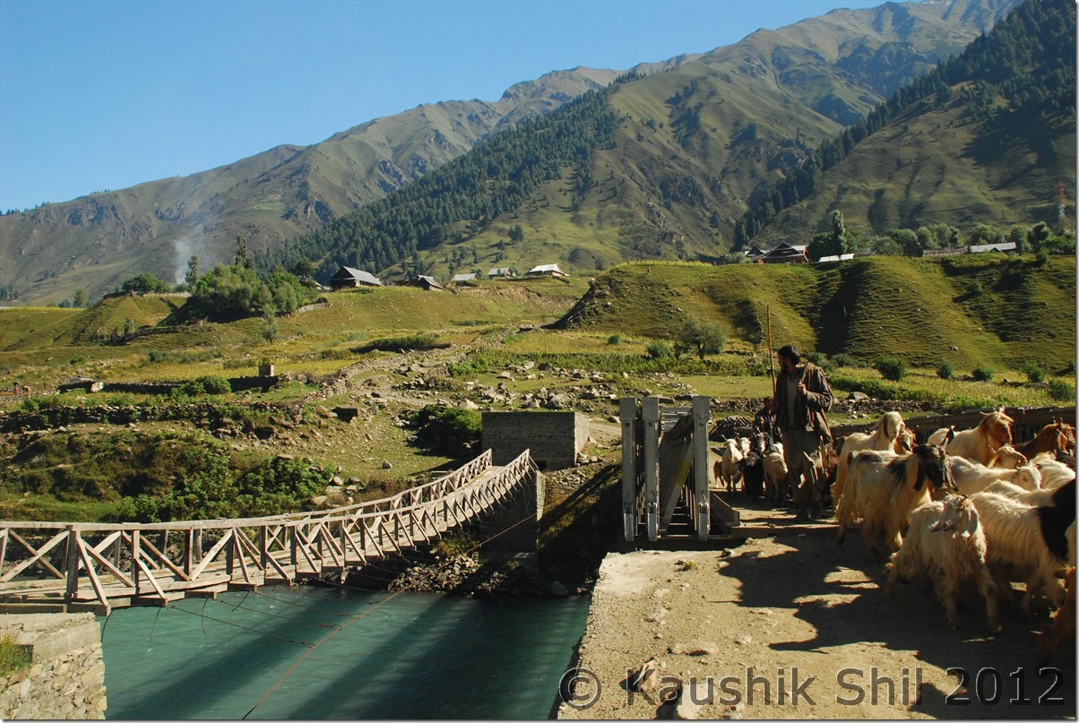
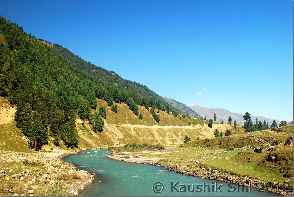
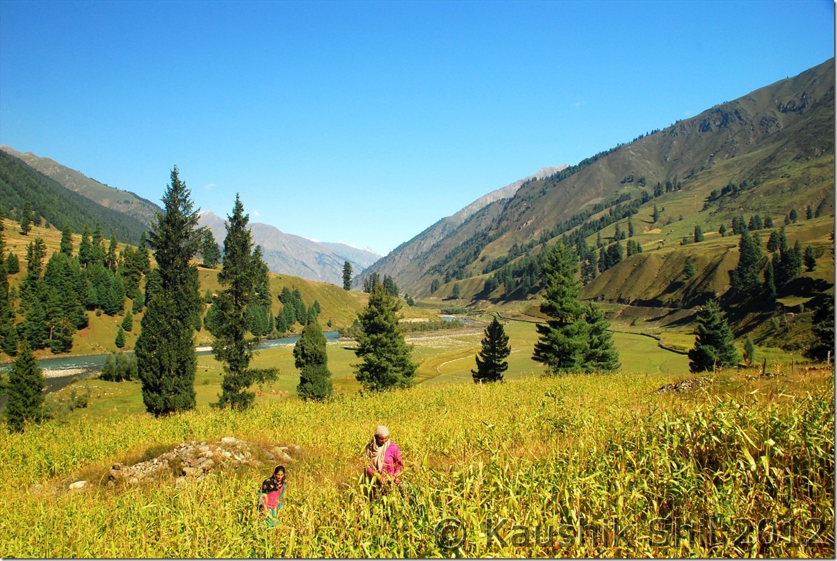
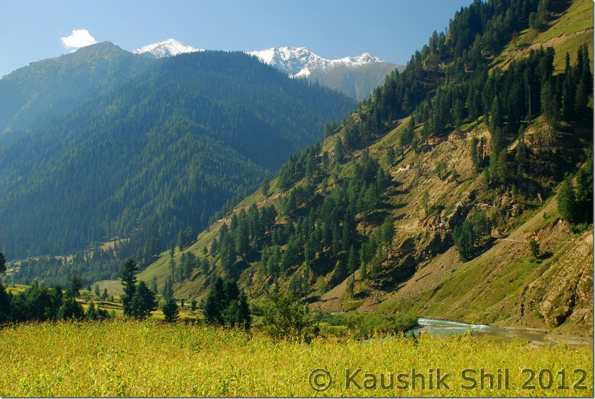
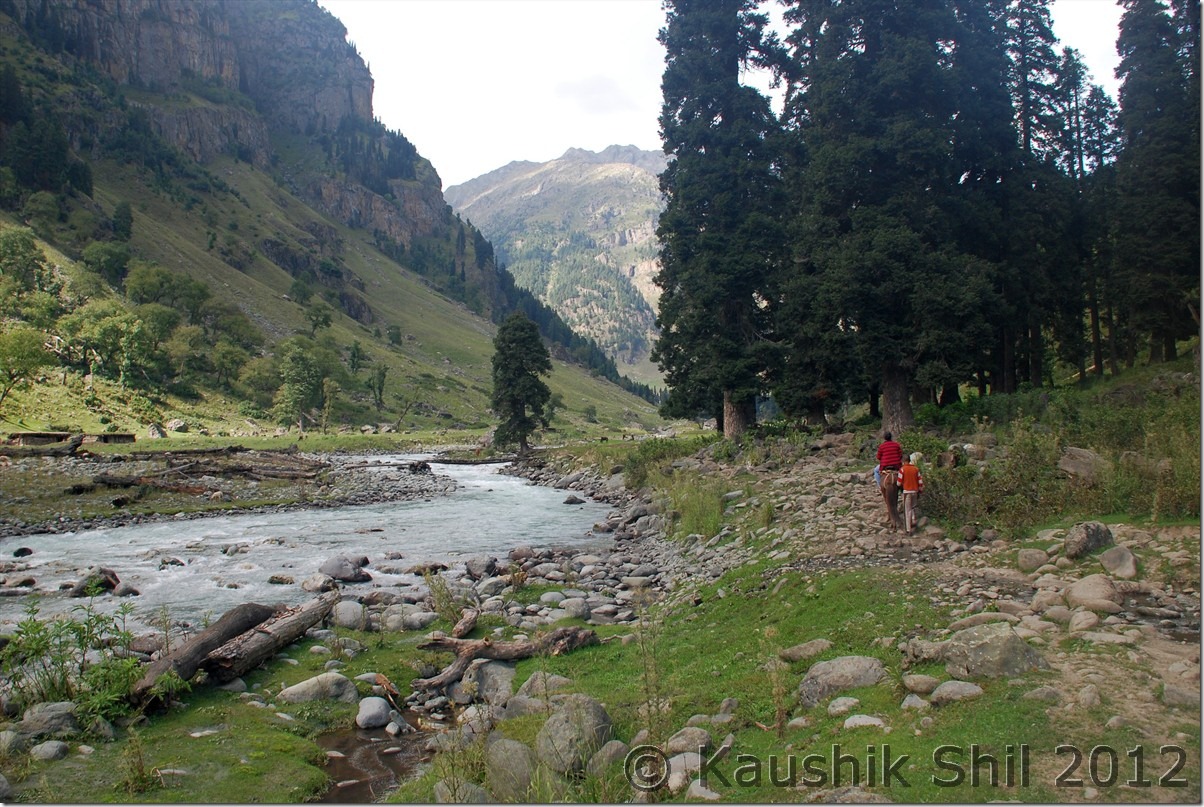
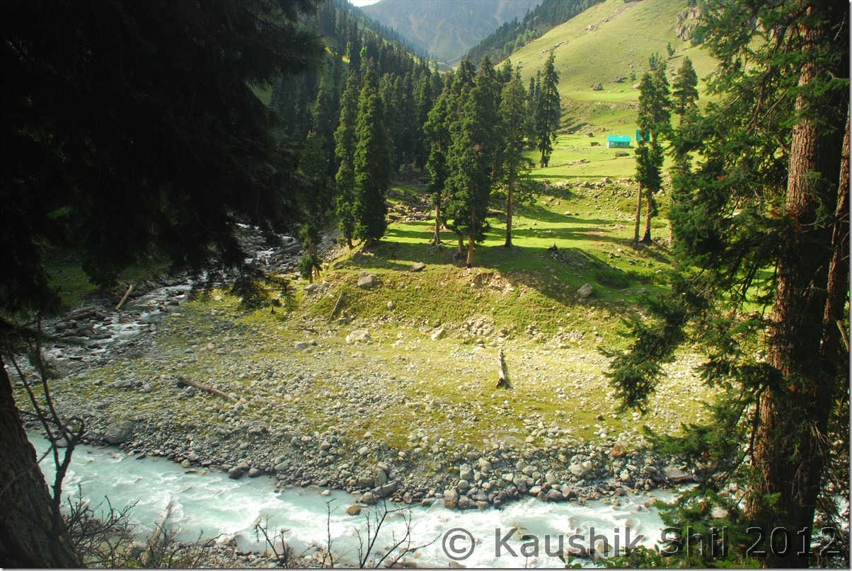
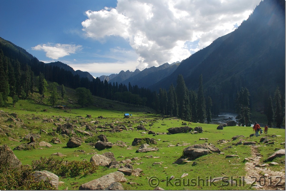
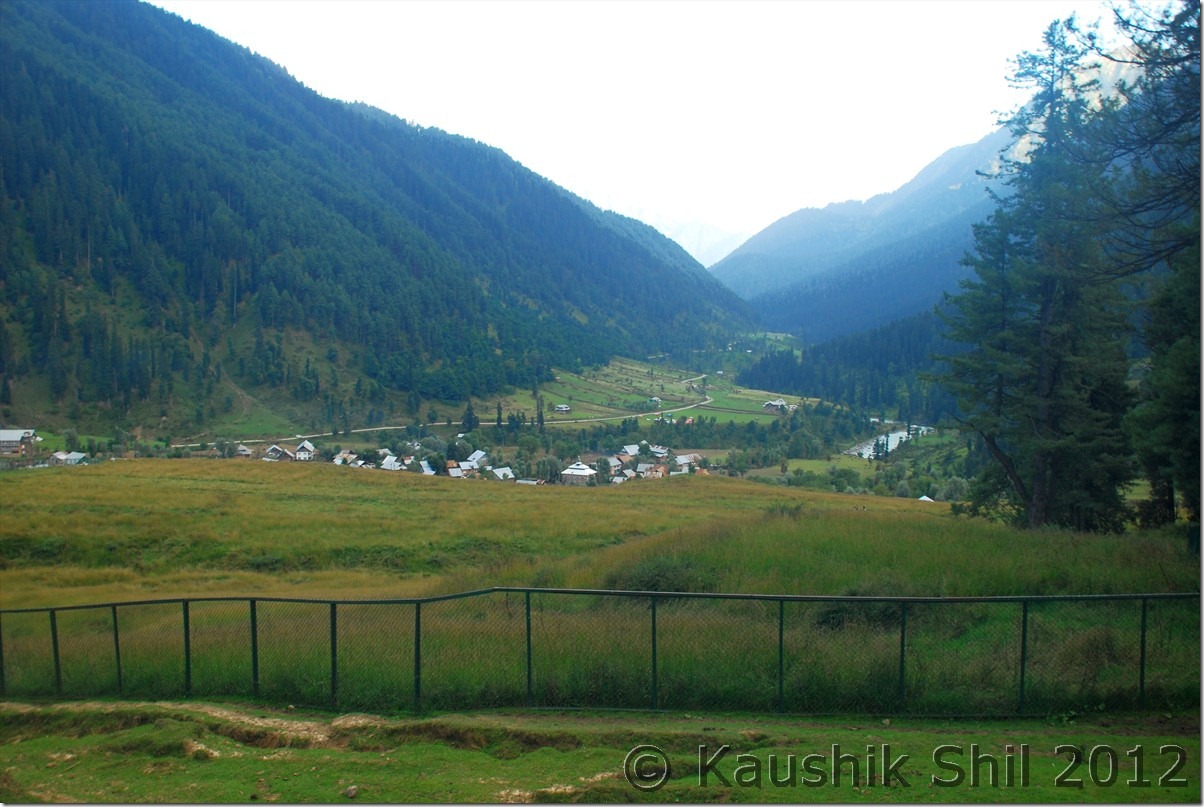
Ladakh – Exploring Zanskar, Ladakh and Remote Changthang – Introduction

Managing Zanskar and Ladakh in one go for 18 days with kid, possible? The question was looming large but then planning to Demchok and Chumur adds more uncertainty and seems to be an insane idea. Now while going to Demchok from Hanle, crossing Photila and trying Tsomoriri directly from Hanle, won’t it be crazy? Yes we started a well planned trip with lots of input from this forum but honestly it gone beyond sanity to try with just wife and kid. We enjoyed thoroughly and in God’s grace got excellent weather. This is the time to share our experience.

I have been to Ladakh earlier and knew the challenges, challenge of acclimatizing your body with that height of 11K+ almost through out the trip, desolate and remoteness of the Zanskar Valley and Changthang Plateau, choosing the right window for travel considering the early and late seasons are full of uncertainties and actual small 2 month’s window of July and August are terribly crowded. For me it was more challenging as I was going to take this trip with just my wife and kid of 6.5 yrs. Getting a car with reasonable price and knowledgeable drivers who have some ideas beyond Nubra/Pangong/Tsomoriri were a must to make this trip a success. Number of Taxi Unions and their self proclaimed rules in their own areas were another mess you need to handle if you want to take up this trip. Kargil Cars can take you to Zanskar but can’t take you back without paying a premium to Zanskar Union, for Zanskar sight seeing you have to take Zanskar Cabs, Kargil Cabs can take you to Leh but can’t do sightseeing in Lamayuru etc. enroute. I was again lucky to get introduced to ex.Taxi Union President of Kargil Mr. Rehman, a nice gentleman who helped me to get Kazim, a middle aged person with a Scorpio and Xylo and it’s because of him I was able to complete my Zanskar trip. Ladakh part was never be possible without Regzin, who was simply outstanding and being an ex. army of Ladakh Scouts and posted in all corners of Ladakh including Siachen, DBO, Chumur, Demchok for 18 years, he knew how to follow the tyre track and common sense for hundreds of km before coming across the first vehicle for opposite side without any direction or maps.

Another funny part was the plans and backups I kept, I had to cancel 5 sets of tickets for different sectors those were planned as my backup in different stages. My idea was to visit through Srinagar but had to keep Del-Leh flight open in case situation in Srinagar Valley turns volatile, similarly I kept my return plan open so that I can travel to Leh – Manali or can fly out from Leh directly which I did eventually. I even had to cancel a Del-Kolkata Rajdhani ticket while my Del-Kol flight was taxied to runway which I kept in case Leh-Del flight gets cancelled and subsequently my Kolkata connection would have missed.

Weather in this region was a big ask, you never know when that could change dramatically but with God’s grace and good wishes of many other friends, I got probably the best weather possible, first time I saw cloud in the sky on my last day of the trip, it was absolutely cloudless and blue sky with fall colors all around.

The Trip Schedule is like this:

Day 1 – Fly from Kolkata to Srinagar via Delhi and on same day proceed to Sonmarg and stay

Day 2 – Sonmarg – Jojila – Drass – Kargil – Purtikchey

Day 3 – Purtikchey – Panikhar – Parkachik – Rangdum – Pensi La – Padum

Day 4 – Padum Stay and visit Strongde Monastery, Zangla Palace, Bardan Monastery and Karsha Monastery

Day 5 – Padum – Sankhoo

Day 6 – Sankhoo – Kharse Khar Village for Maiterya Buddha – Kargil – Leh

Day 7- Leh Permits and Local Sight Seeing

Day 8 – Leh – Khardung La – Nubra Valley – Hunder

Day 9 – Hunder – Turtuk – Deskit

Day 10 – Deskit – Wari La – Chang La – Tangtse

Day 1 1 – Tangtse – Spangmik

Day 12 – Spangmik – Man – Merak – Chusul – Tsga La – Loma – Hanle

Day 13 – Hanle – Photi La – Photile – Koyul – Demchok  Back to Hanle

Day 14 – Hanle – Kyun Tso – Salsal La – Chumur – Charchagan La – Tsomoriri

Day 15 – Tsomoriri – Tso Kar – Tanglang La – Leh

Day 16 – Spare Day at Leh

Day 17 – Spare Day at Leh

Day 18 – Flying from Leh to Kolkata via Delhi

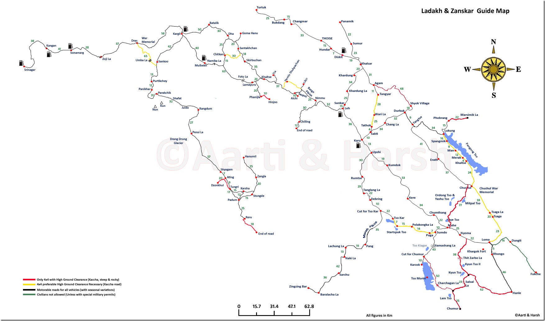
The map Harsh and Aarti had prepared is simply invaluable and to my knowledge the best map that is available for anyone wants to visit this area. Please refer to the map below to understand the route plan properly. Thanks Harsh and Aarti again for this wonderful effort and you were the inspiration of our trip.

Harsh_Ladakh_Zanskar Map

Few Highlights before we start the detail of the trip:

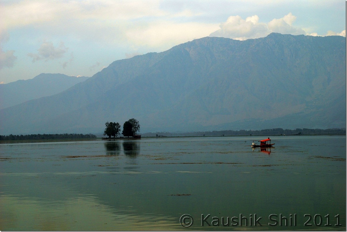
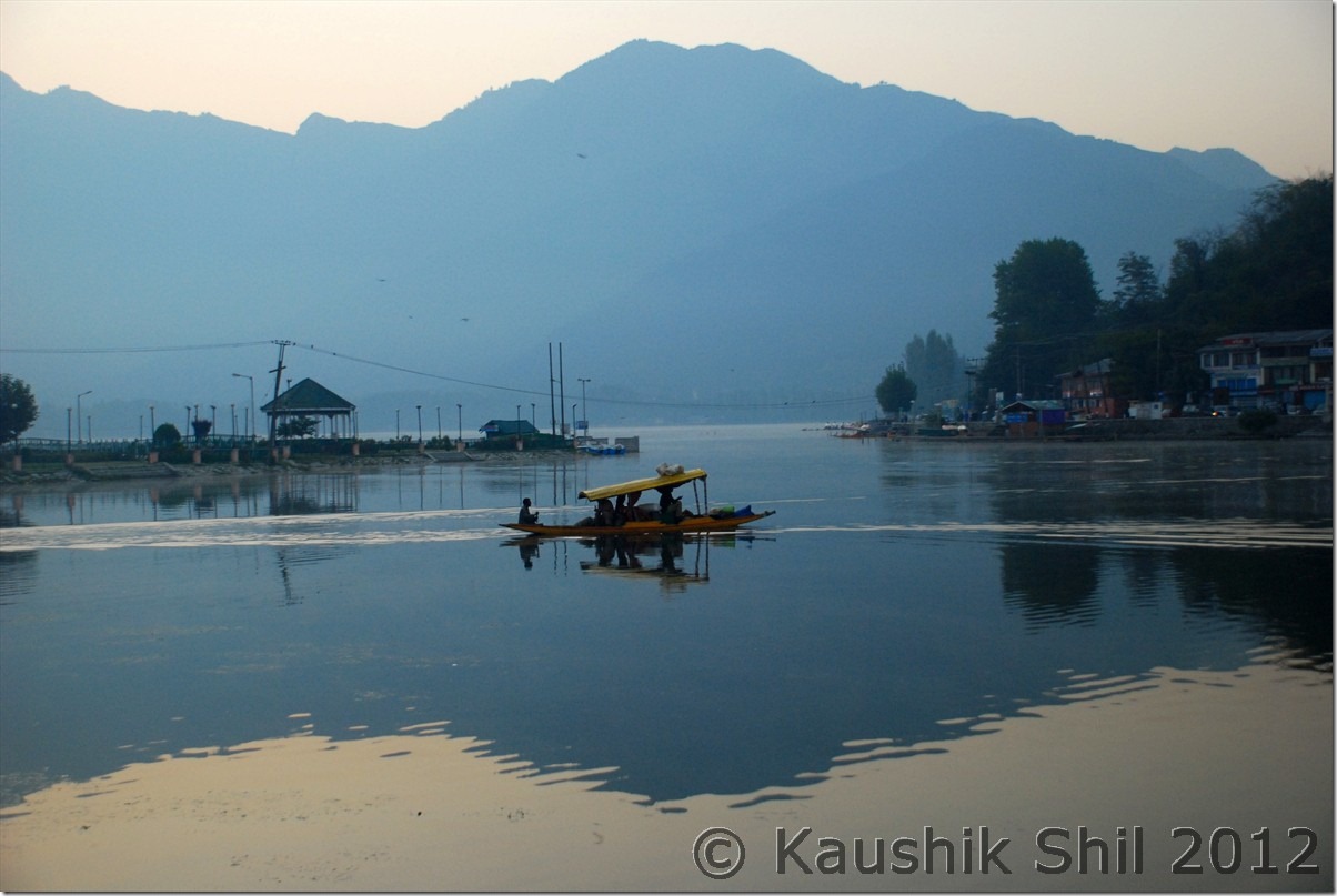
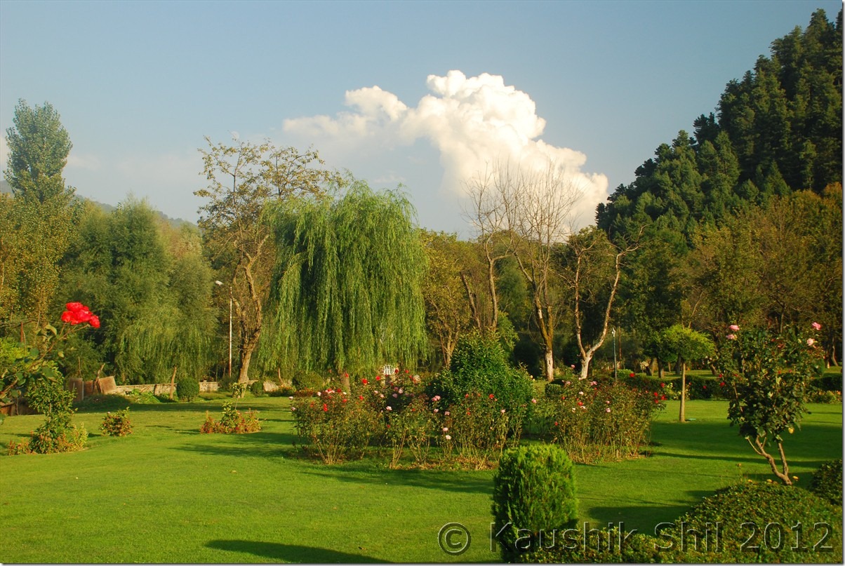
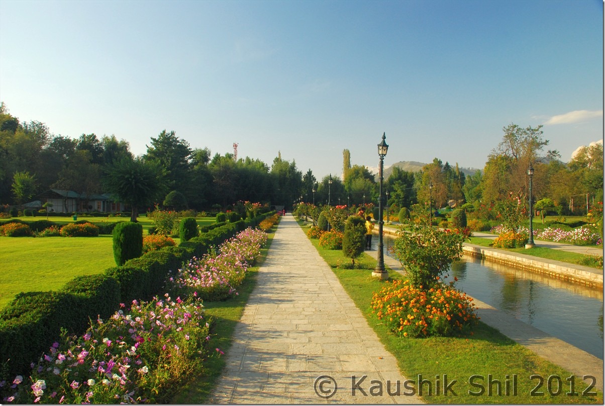
Dal Lake, Srinagar:

DSC_0046

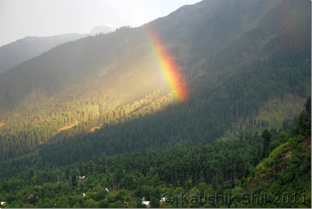
The Rainbow:

DSC_0068

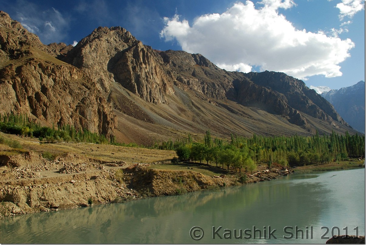
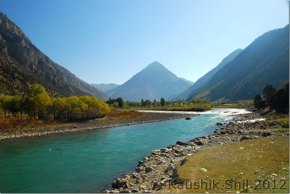
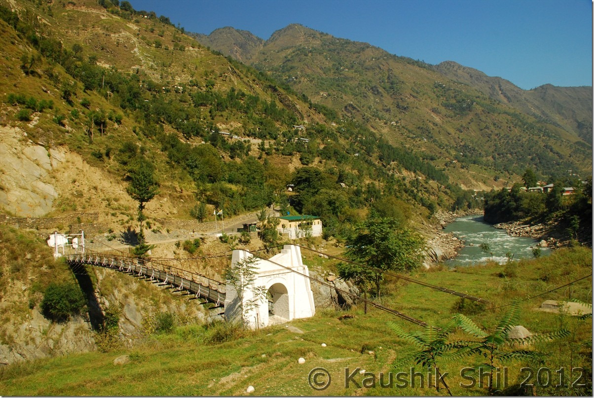
Entering the Suru Valley, Zanskar

DSC_0261

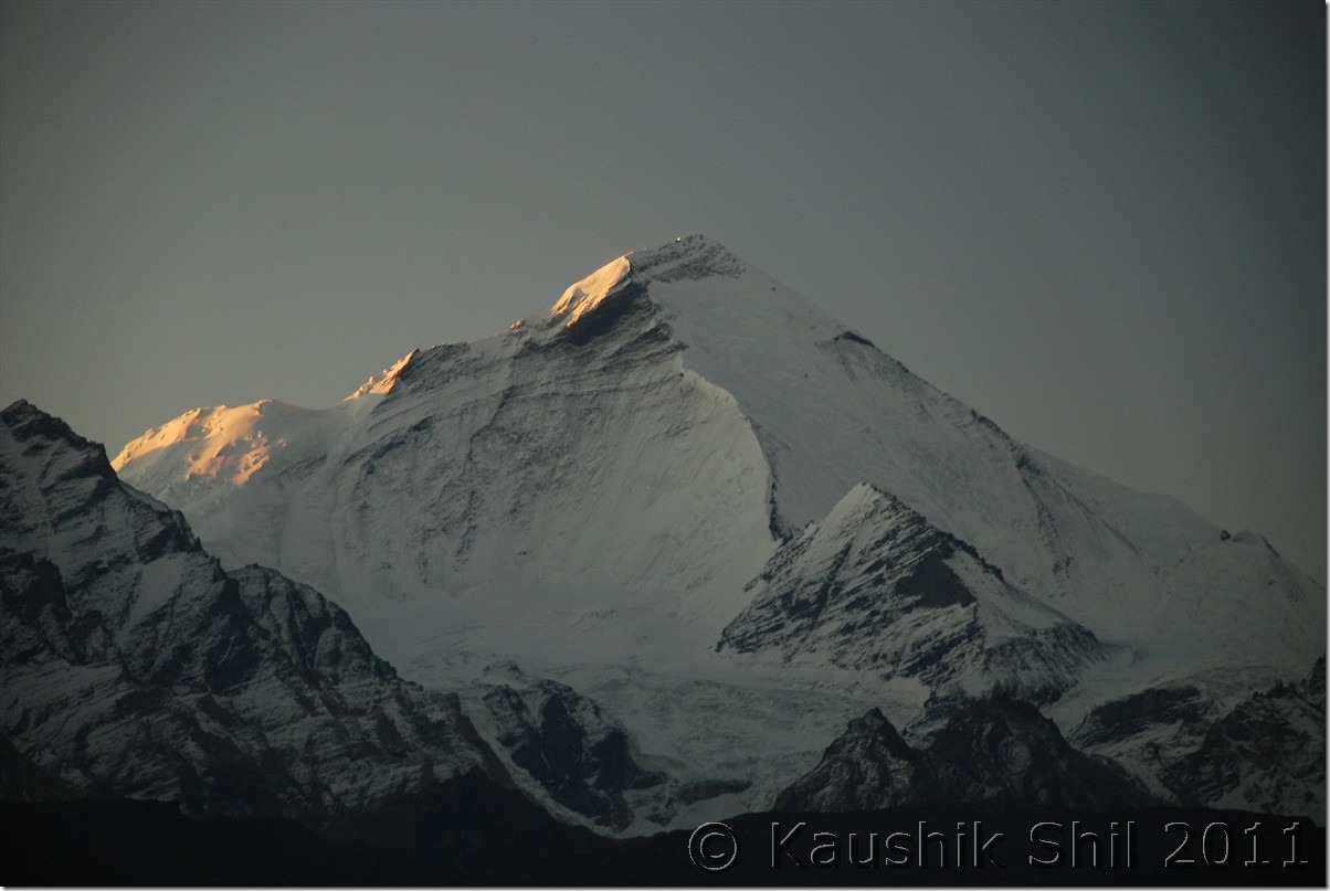
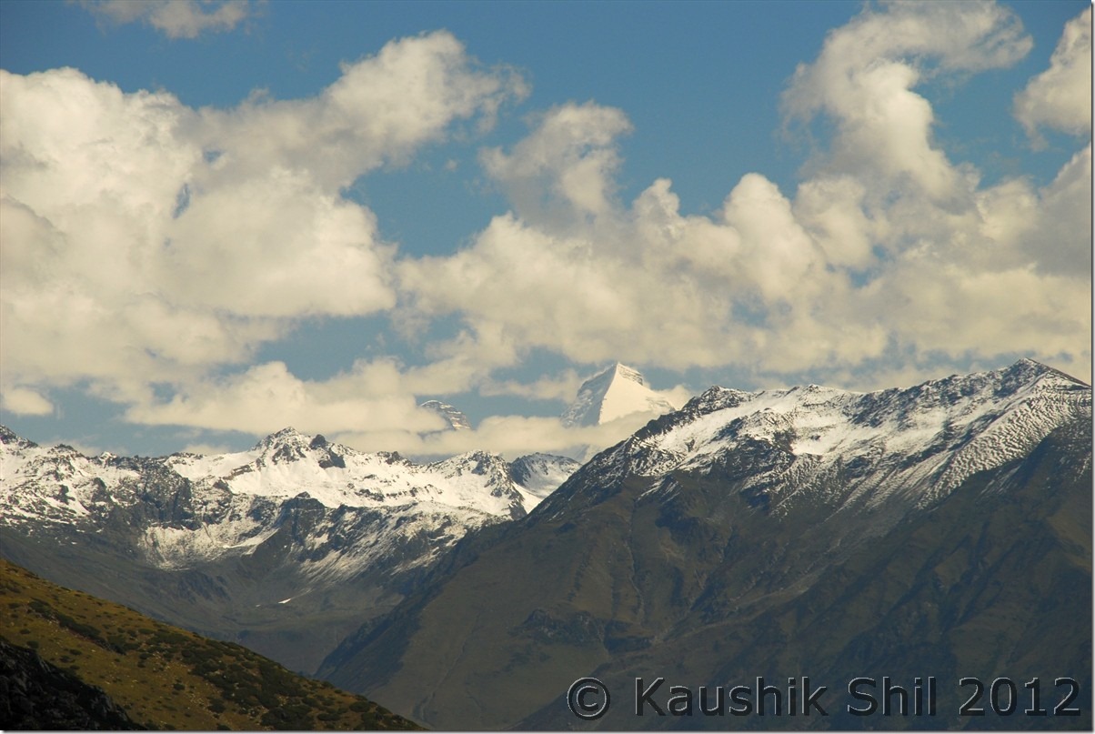
First Ray of Sun on Mt. Nun

DSC_0291

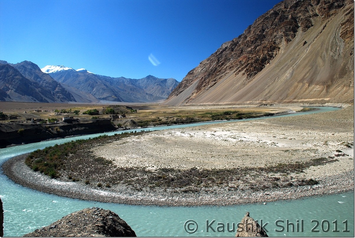
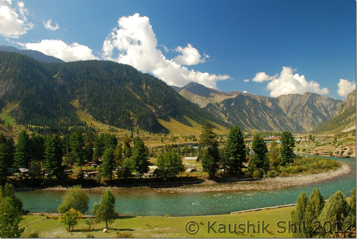
Zanskar River takes Horse Shoe Bend near Padum

DSC_0623

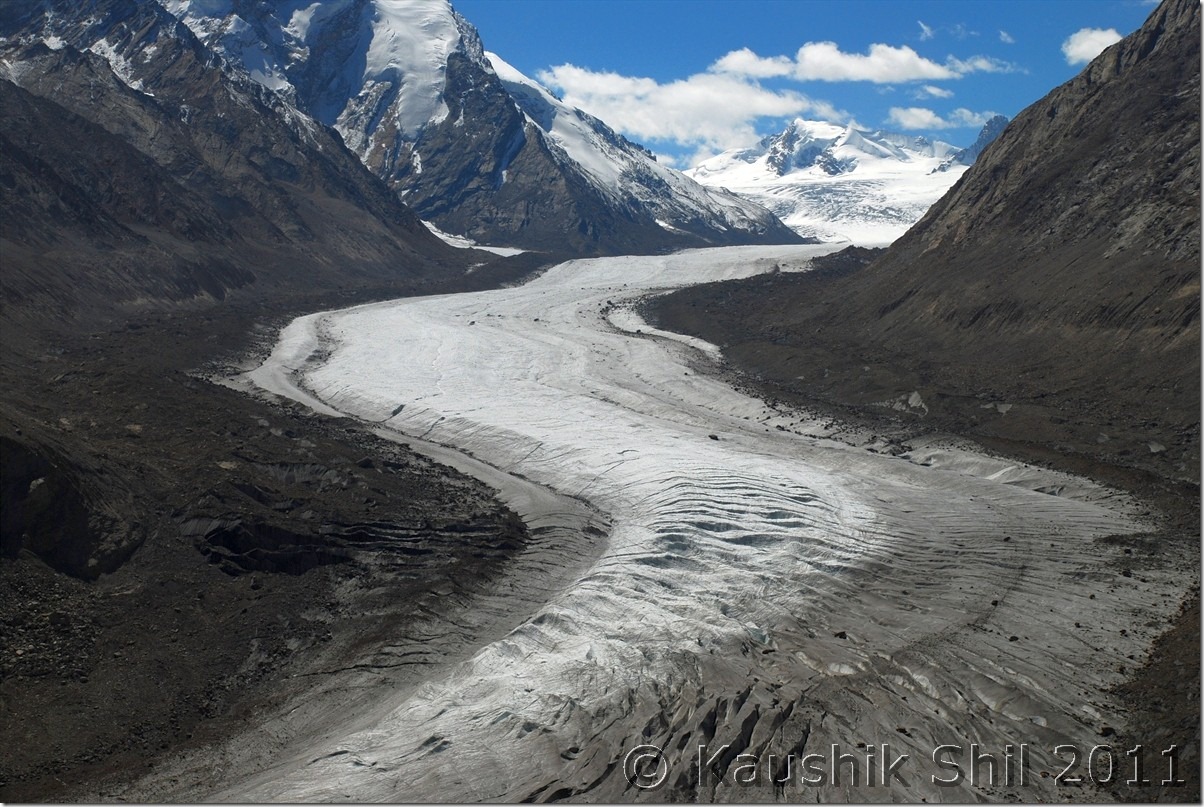
Amazing Drang Drung Glacier:

DSC_0849

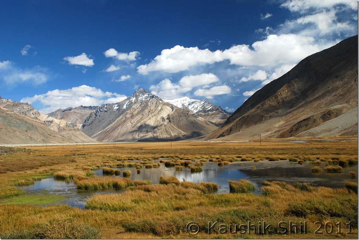
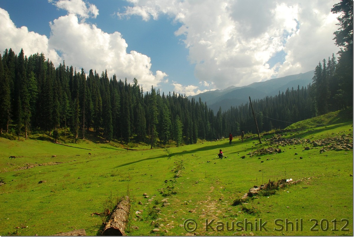
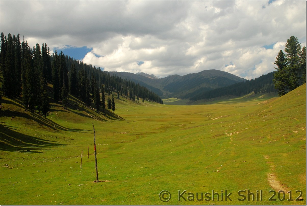
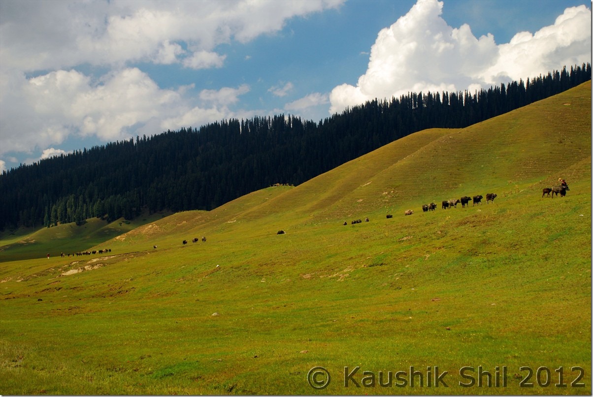
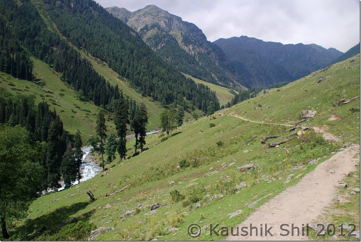
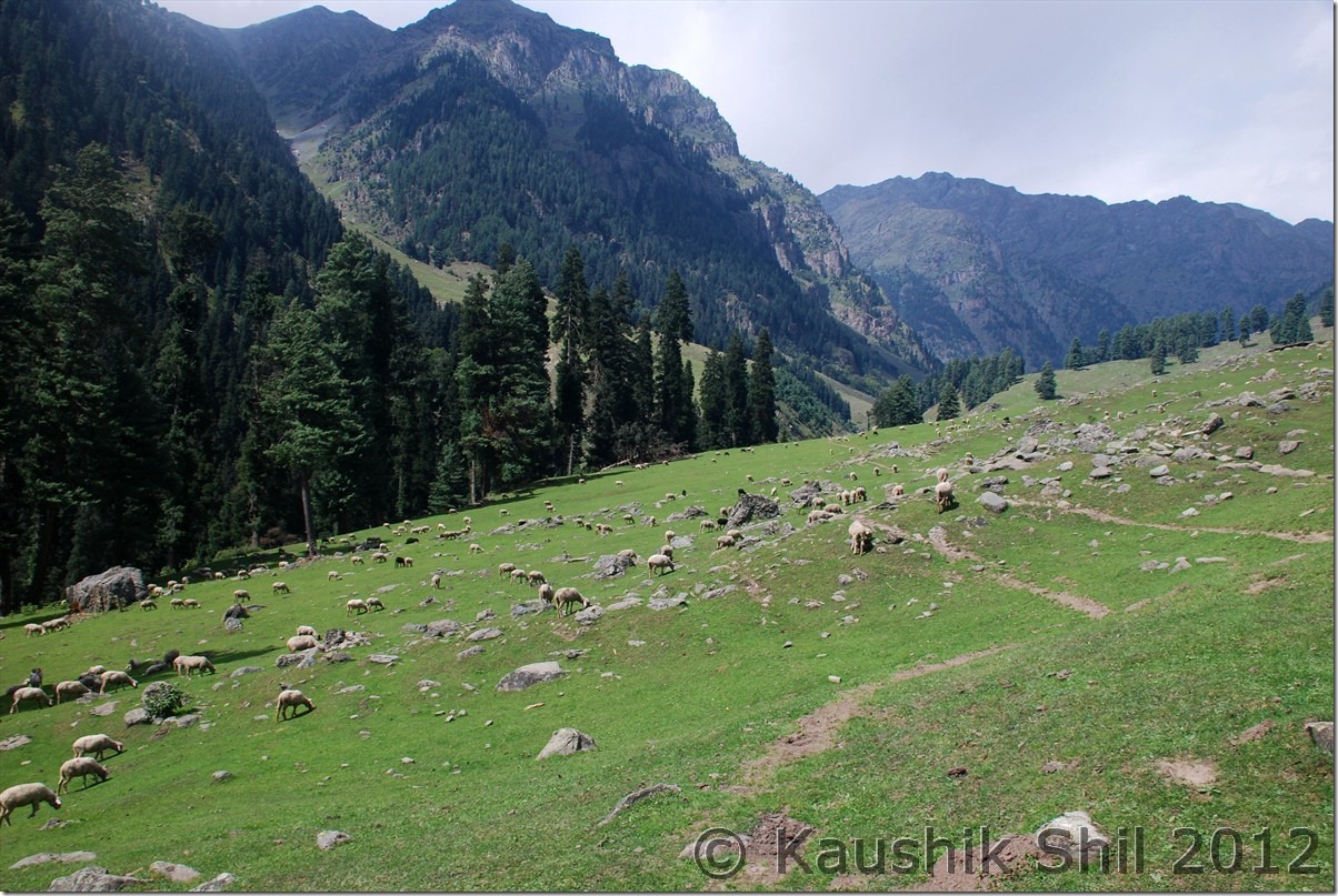
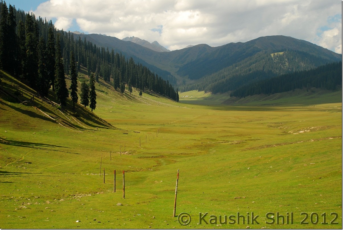
Typical Zanskar Grassland :

DSC_0885

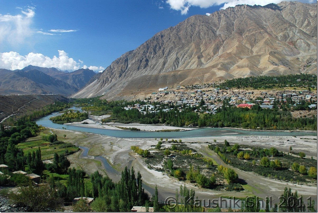
Kargil:

DSC_0931

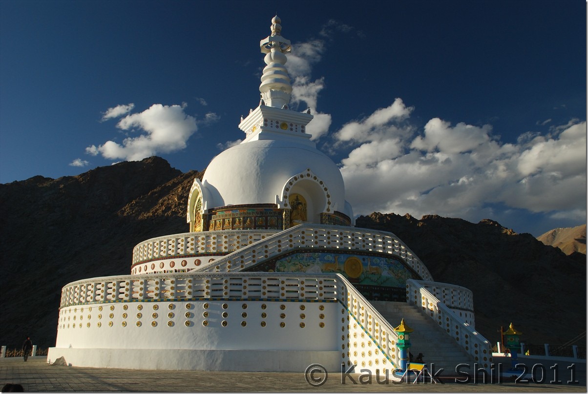
Shanti Stupa, Leh

DSC_10105

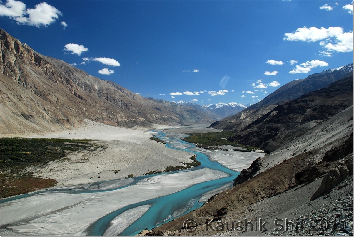
Shyok (The River of Death) near Nubra:

DSC_10179

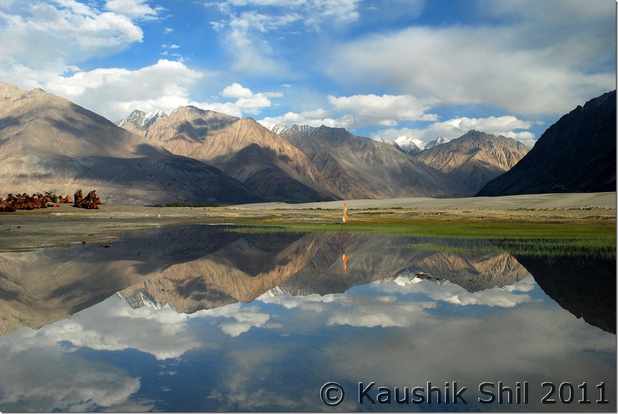
Hundar – Reflections

DSC_10255

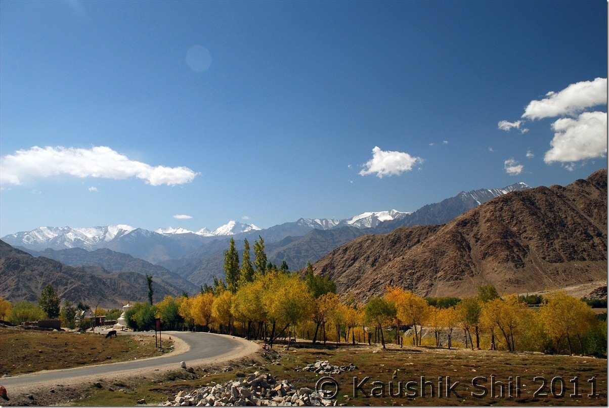
Beautiful Fall Colors near Shakti

DSC_20125

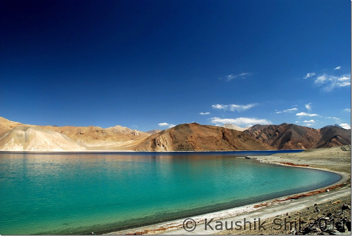
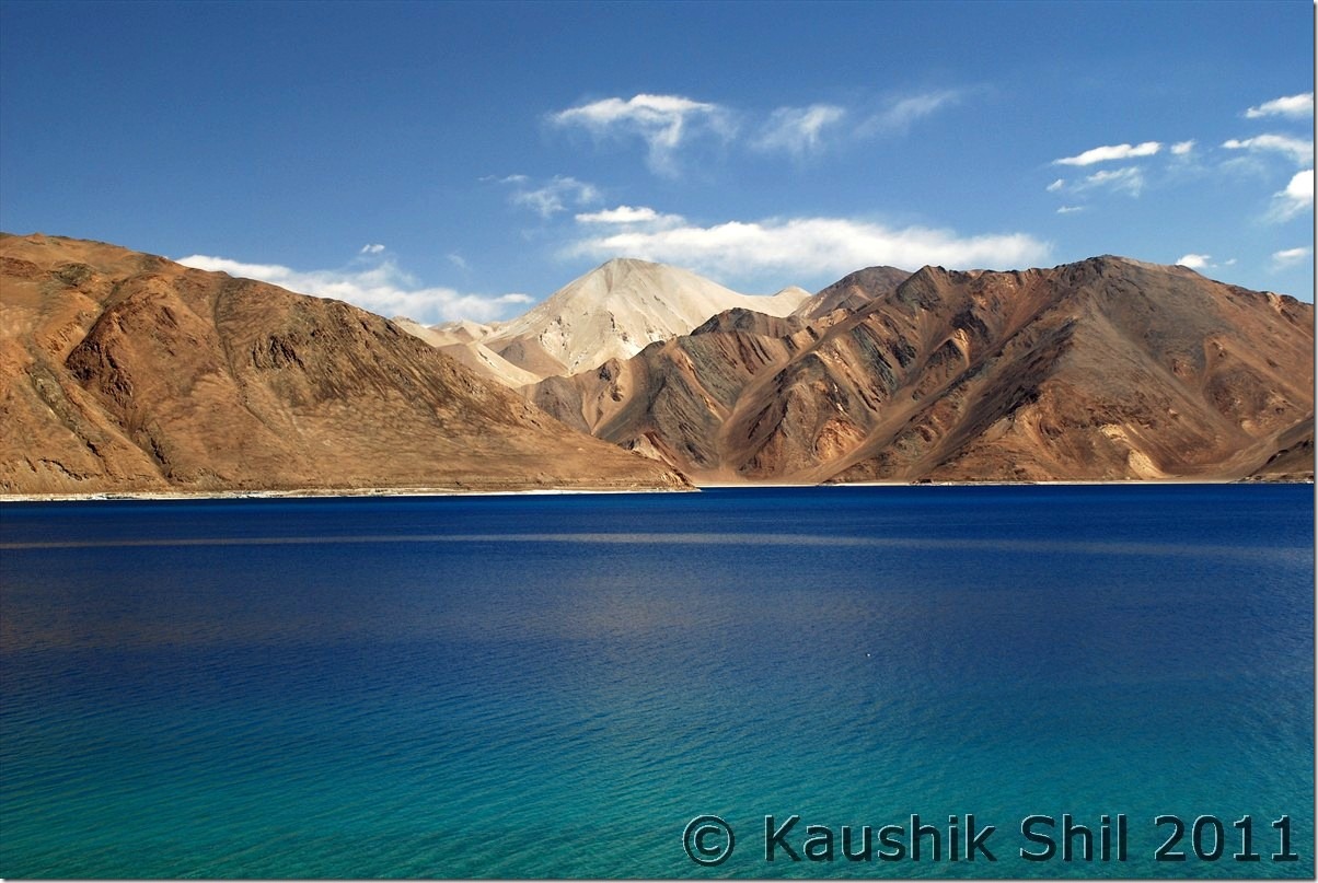
Magic Lake, Pangong Tso, no introduction needed:

DSC_20280 DSC_20282

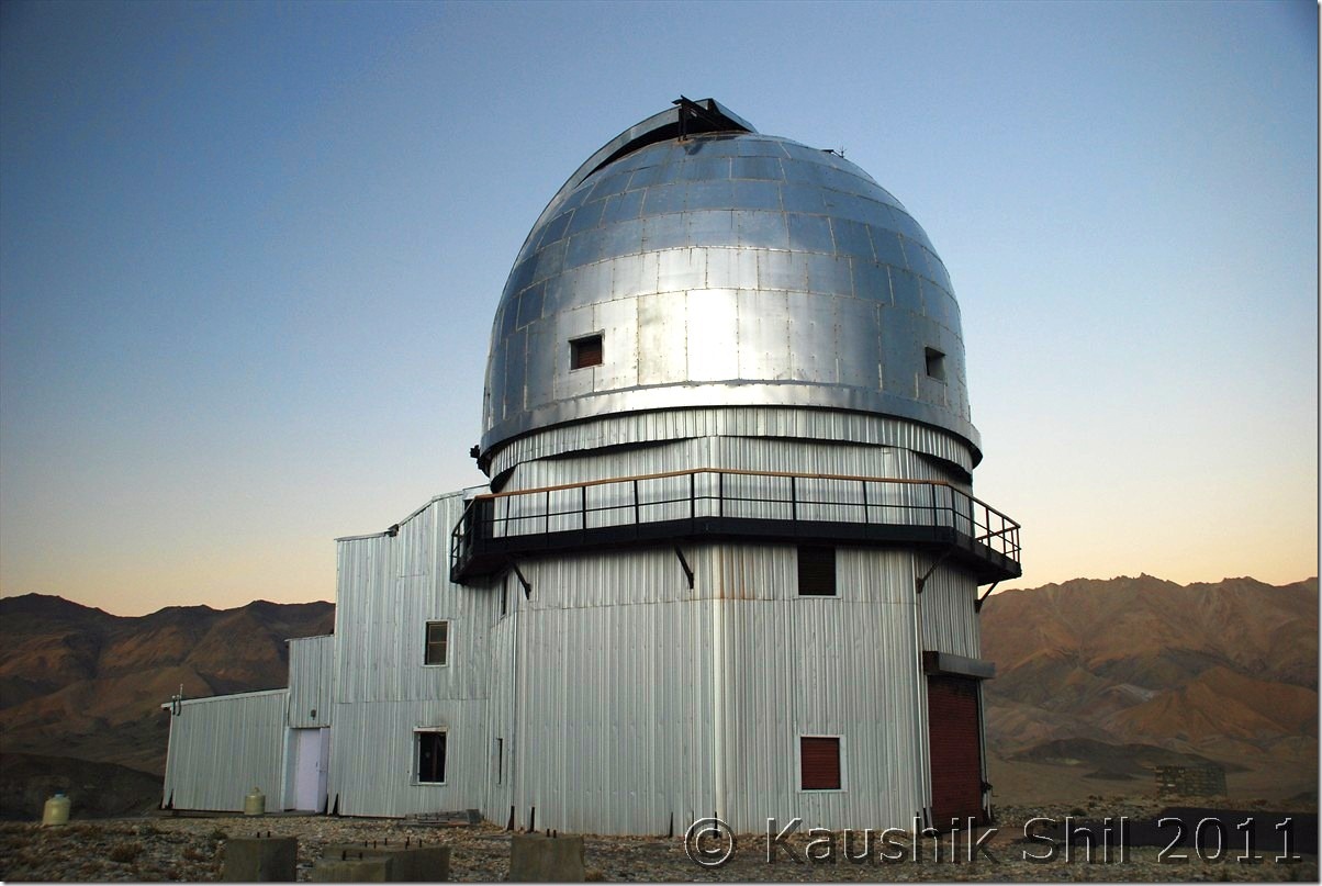
Hanle Observatory of Indian Institute of Astro Physics:

 DSC_20682

Unbelievable colors of Mountains near Demchok – The mountains you see are Line of Actual Control with China (Other side Ngari, Tibet)

DSC_20795

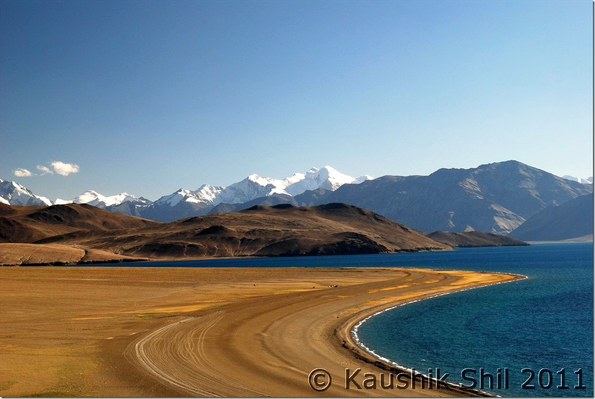
Tsomoriri :

DSC_30078

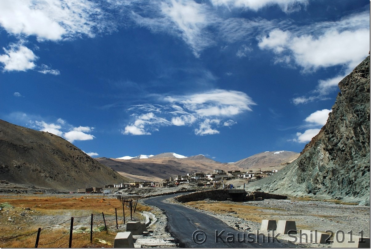
Dramatic Sky at Sumdo:

DSC_30160

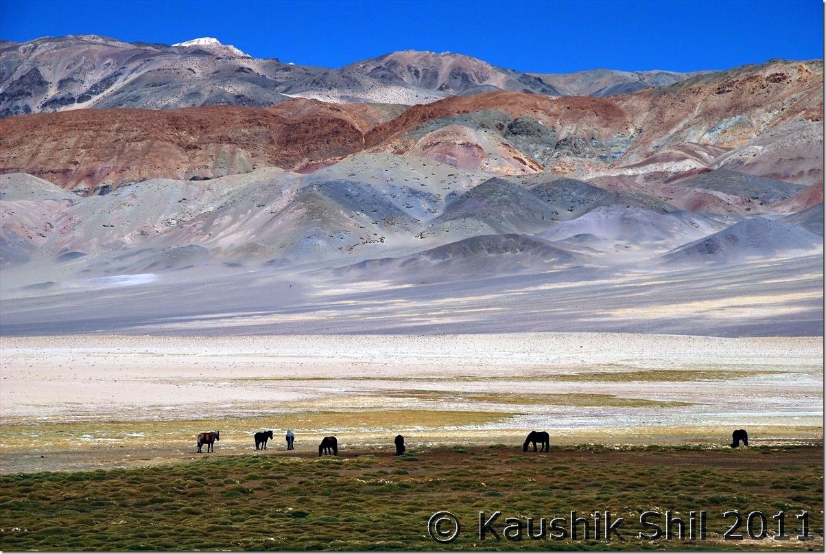
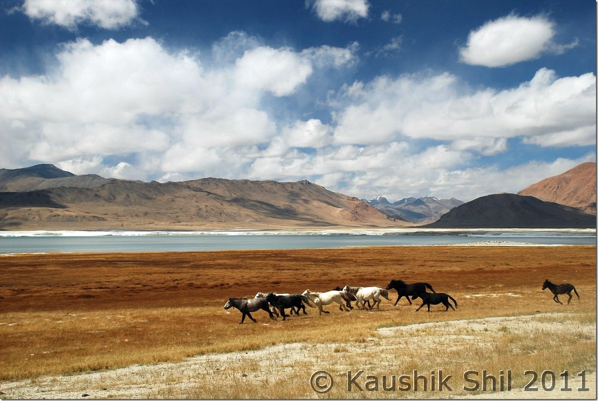
Wild Horses running in the backdrop of Tso Kar:

DSC_30183

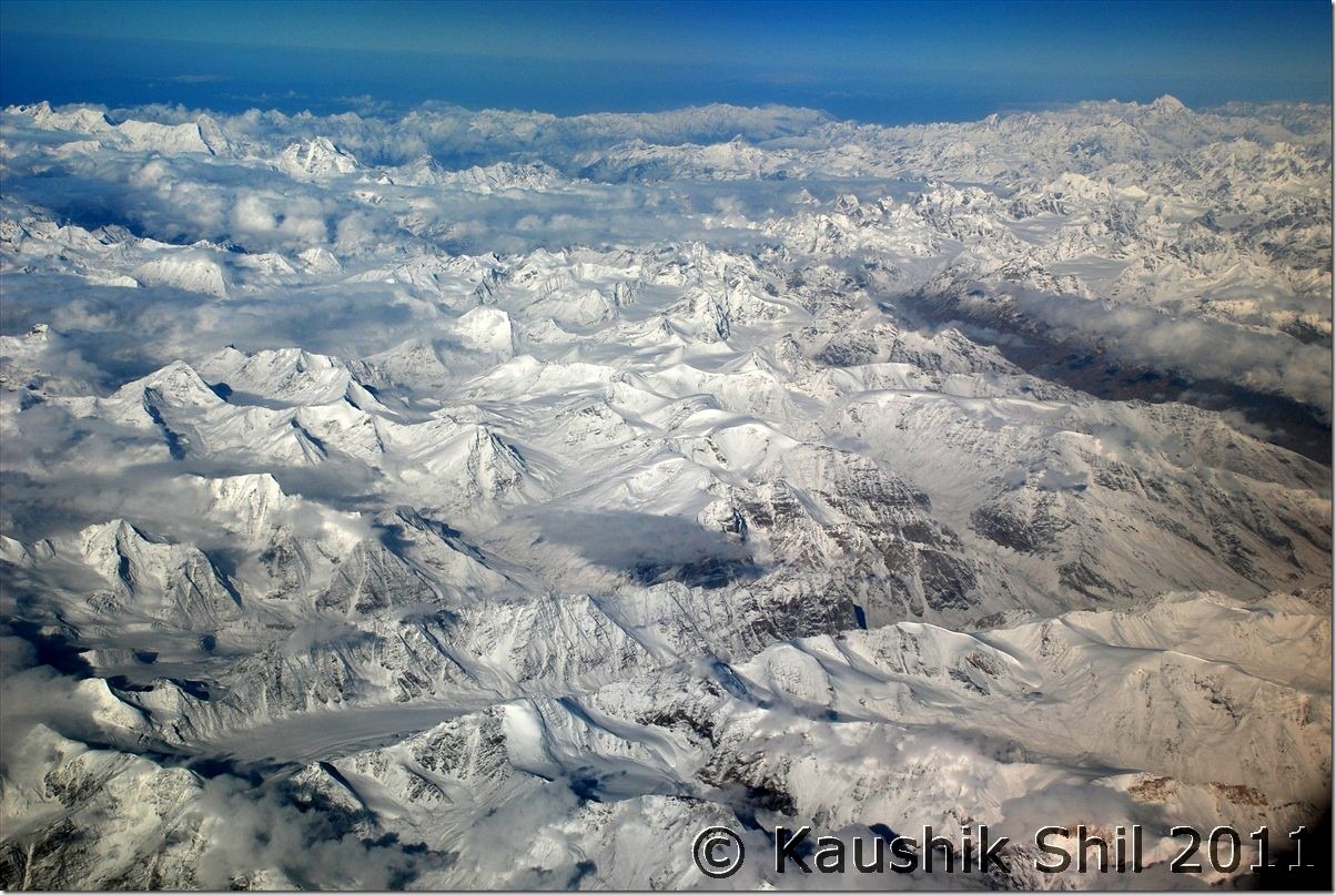
Return Flight from Leh to Delhi was a Trans Himalayan Flight, the vista below is beyond any word:

DSC_30372

Next: Ladakh – Srinagar, Sonmarg, Jojila, Kargil and entering Suru and Zanskar Valley

Unexplored Kashmir – Naranag Temple, Dudhpathri, Srinagar

05-Oct-2012:

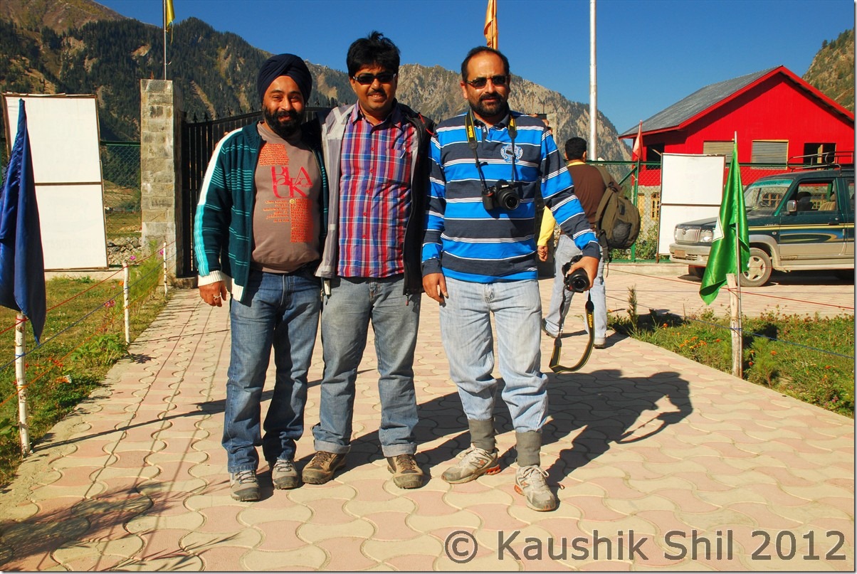
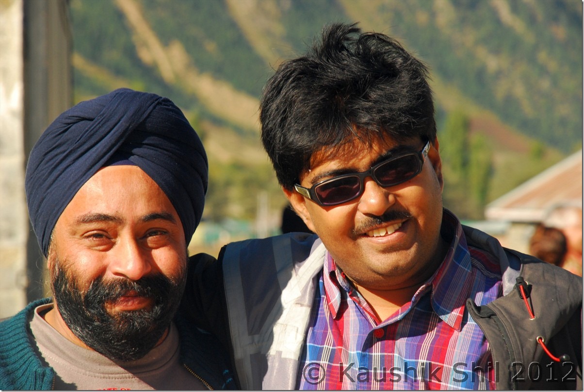
We woke up early as it was our last day in Gurez and wanted to enjoy the morning in that heavenly land. Weather was sunny and our own Sunny Paaji was there, so it was all the way sunny . Had some photographic session with Sunny Paaji and his friend and then Sunny’s team gone out to Brigadier’s camp for getting their permit to visit Chorgaon advance post. Somehow they were denied the permit on that day, Army said they had some movement of higher officials on that day and they won’t be able to allow any visitors but to me more likely was as they were a big group of 15+ people, may be that’s the reason for permit denial. These are not tourist spots and army never wanted to project that way to allow a bus full of tourists to an advanced camp. If you are a small group, especially with family, getting permits usually becomes much easier, that’s my experience everywhere starting from Kashmir, Ladakh to Arunachal.

With Sunny Paaji and his friend at Gurez:

DSC_0938 DSC_0940

Bidding goodbye to Haaba Khatun and Kishanganga for time being:

DSC_0945

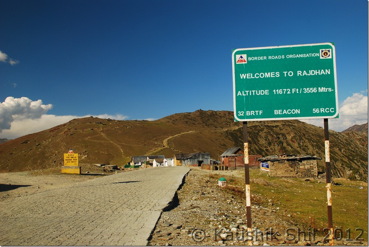
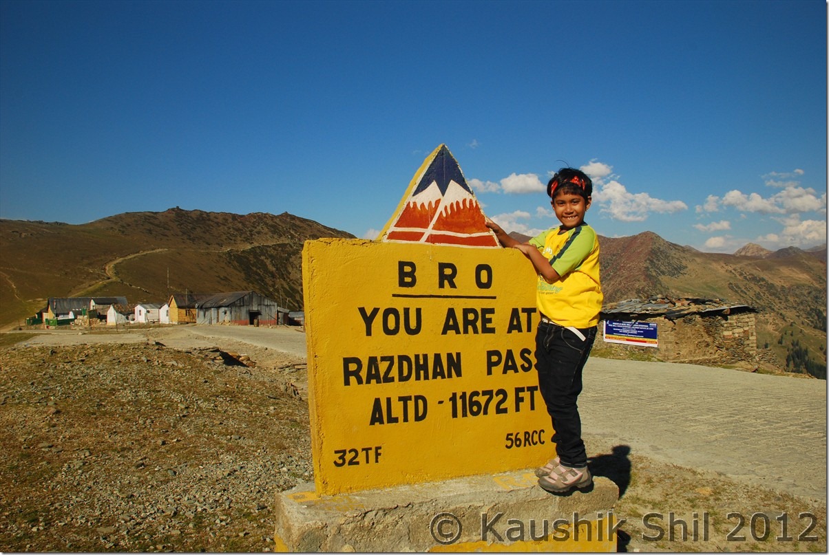
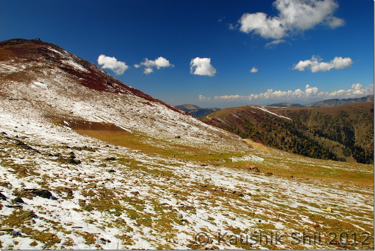
Rajdhan Pass with season’s first snow:

DSC_0951

Anyway we had our breakfast and started our long journey back to Srinagar but we thought of taking a detour from Bandipore towards Mansabal lake and then towards, Gandharbal, Kangan and finally towards Naranag. The return journey was smooth and dust was much lesser than what we faced 3 days back because of last nights shower. As we approached the upper reaches towards Rajdhan Pass, we started finding the snow, season’s first snow on the road itself. On the top one side of the ridge was covered with snow, which turned the scene completely from what it was 3 days back. We stopped there for a while, chatted with couple of CRPF Jawan and then further proceeded towards the Bandipore. We took a short tea break just after Bandipur again with a vast vista of Wular lake in front of us, hope someday after the cleaning activities, Wular would be a nice stop for the visitors. We soon crossed Mansabal Lake, that’s picturesque too but we didn’t have time to take a break there, continued and hit the NH1 soon and turning left we were going towards Kangan. The road was fantastic and after the bad road of Gurez, it was a welcome break, just couple of km before Kangan, the road towards Naranag takes left diversion, we took that, hit a very narrow yet well built road and reached Naranag around 4.00 in the afternoon. Naranag is more famous as the start or end point of famous Kashmir Great Lakes Trek. People usually start from Sonmarg and covers Vishansar, Kishansar, Gadsar, Satsar and Gangabal lakes before ending the trek at Naranag. I have seen some amazing photographs of this incredible landscape and hope someday I will be able visit too. Naranag is a small village, very nicely located with few trekkers hut and a stream flowing rapidly through the dense forests and meadows, surrounded by high hills. The major attraction of Naranag is the temples built in 8th Century with ancient Aryan structure.

Source: Wikipedia
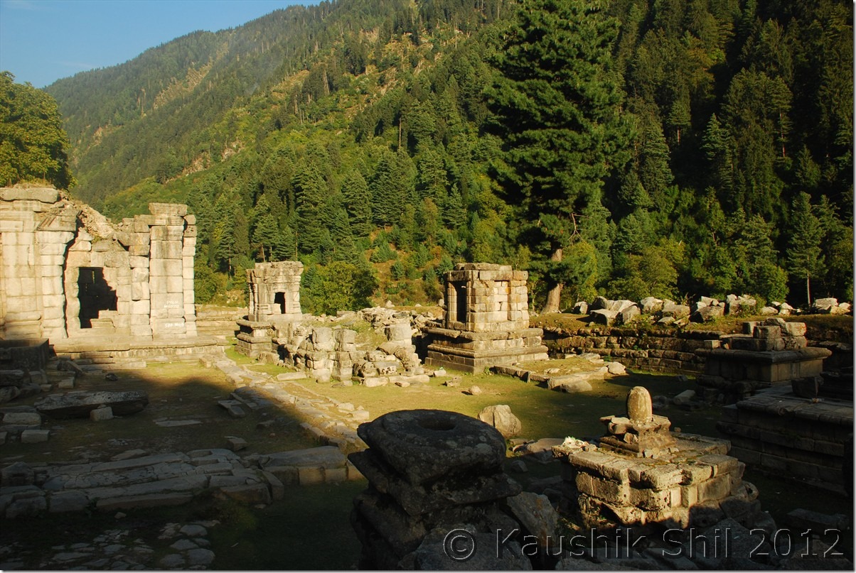
The Naranag temple is the main attraction for the tourists. It is one of the important archaeological sites of the country. The site consists of a cluster of temples facing each other at a distance of about 200 meters. Historians say that the temple is dedicated to Lord Shiva by the 8th century ruler Lalithdatiya muktadiya. It is believed that the king Awantivarman paid a visit and donated a pedestal for bathing at Bhutsher. Its architecture reveals the art of the 8th century. The government has only constructed walls to protect it from encroachments and nothing else has been done. It is now left in ruins of which only faint traces have survived. This temple has the typical Aryan structure as was present in Aryan Kashmir.

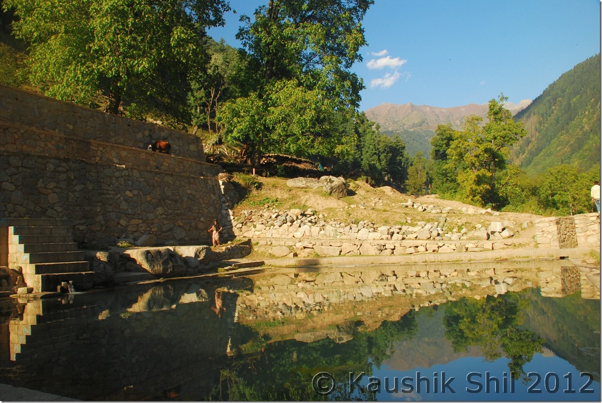
Small Pool believed to be filled up with water from Gangabal Lake:

DSC_0965

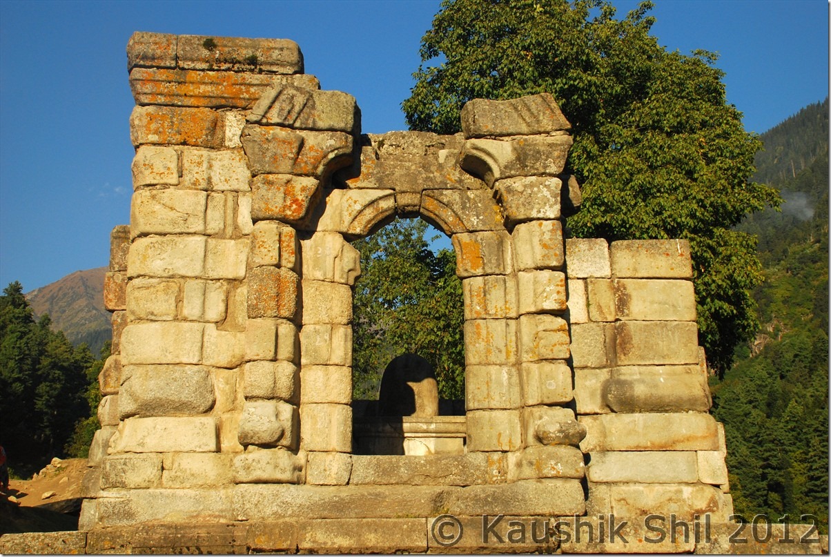
Eighth Century Ruins of the temples, see the Shiva Temple:

DSC_0969 DSC_0981

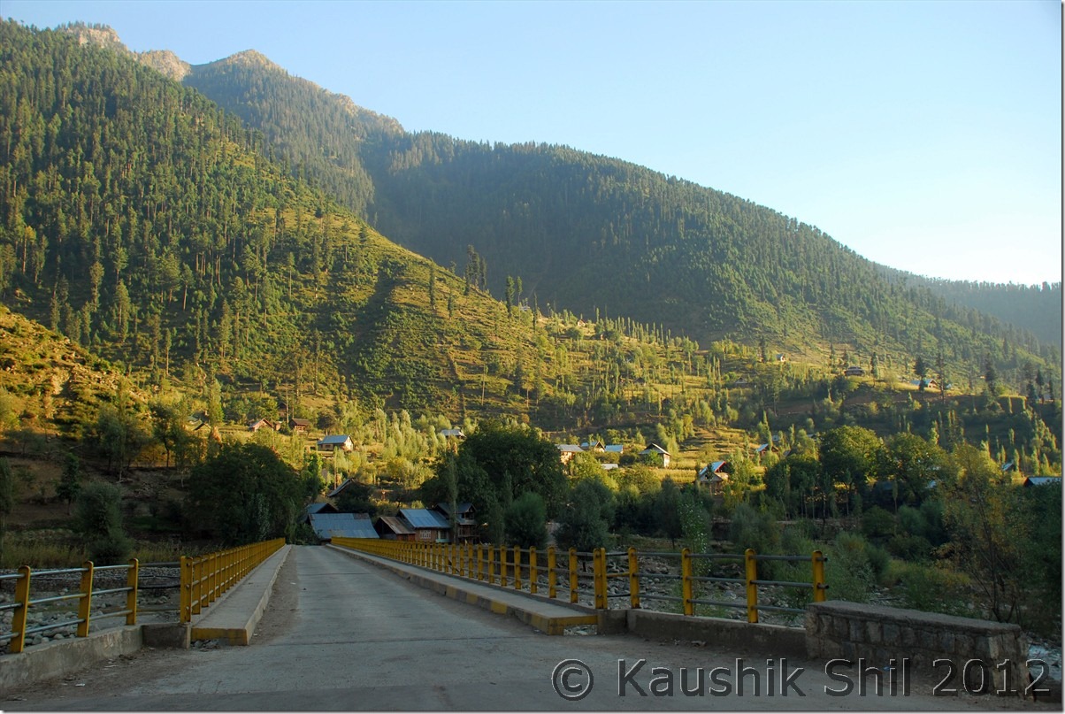
Naranag – Nice Valley:

DSC_0988

We had a nice time there, visiting the archeological wonders, you would be surprised and thrilled to see how people brought those heavy stones way back in 8th century and made the geometrically accurate curvature with them at a height of 50 ft from ground. This is a place one shouldn’t miss on the way to Sonmarg.

We started our return journey as sun was tilting towards west horizon, we came back to the highway again and hit srinagar around 7.30 in evening with a huge traffic jam as usual. We were very hungry as we didn’t have our lunch so headed to Mughal Durbar and had a wonderful dinner with various types of Kababs. No journey should be completed without the great foods, we had it here after several days of skipping breakfasts and lunches.

06-Oct-2012:

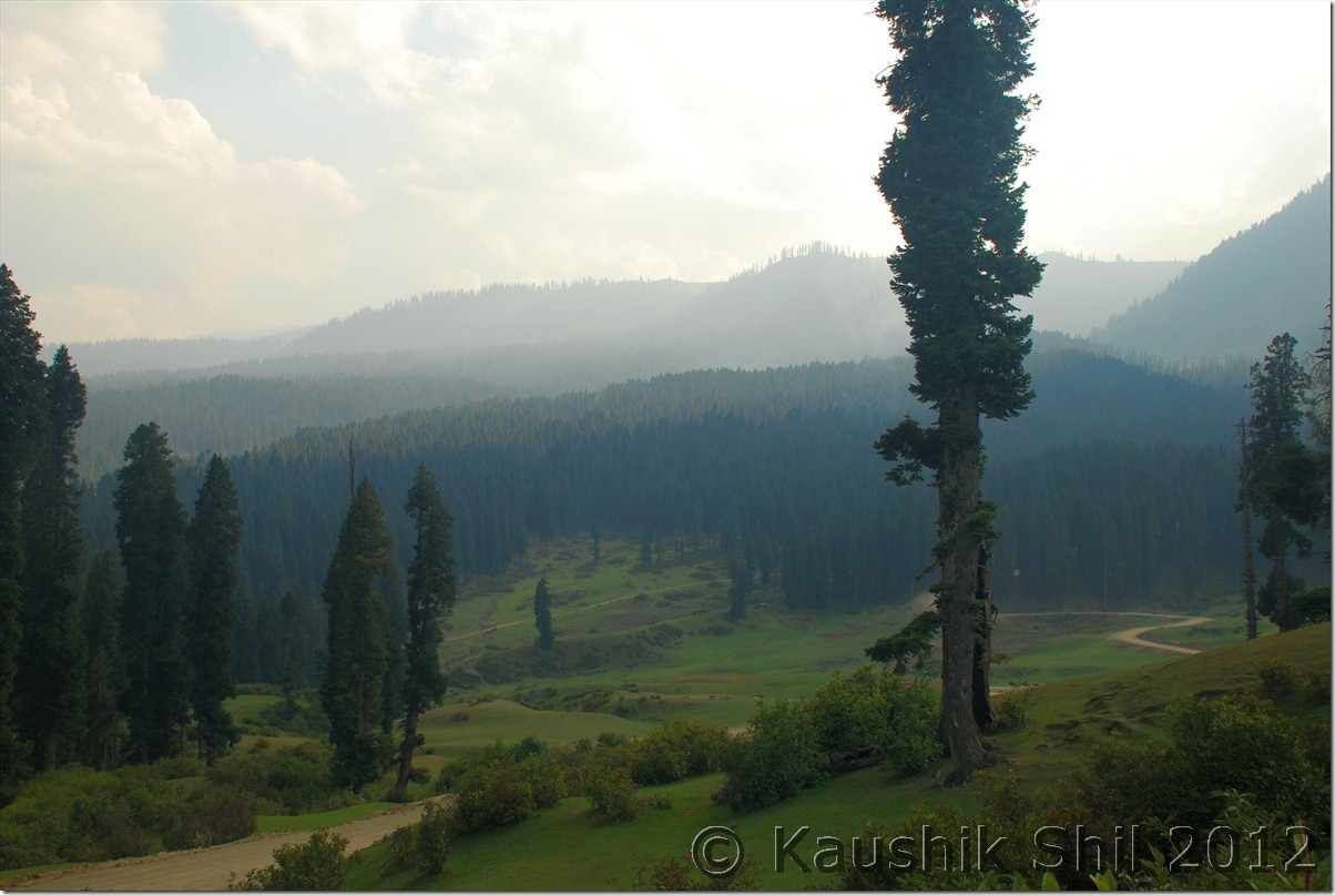
This was practically our last day in valley and it was kept as a spare day in case if something pushes our plan. We initially planned to enjoy Srinagar, especially the Dal Lake on this day, but as we already lost a day in Aharbal due to a strike, we had to use this day if we wanted to visit Dudhpathri. So the question was Dudhpathri or Dal Lake, we chose the first and started around 8.00 in the morning towards Budgam. Dudhpathri is a newly identified spot which is still being developed as a full fledged tourist spot by J&K Tourism. To do that they have created a separate entity called Dudhpathri Development Authority and this entity is still developing this little known beautiful meadow to a well established tourist spot. Now they have already made good roads for most part, Dudhpathri is 61km from Srinagar and a day trip to this scenic location is very much possible and highly recommended. We reached Budgam (20km from Srinagar) in a short while and going further 26km we reached Khan Sahib, the known junction from where road to Dudhpathri diverts. From Khan Sahib you would get another 7km of well tarred road and after that bad / unpaved road started for last 10km. The road was still being made and some part of that was really quite steep and we found few of the small cars and also big buses could not reach till the end point, but looking at the pace of the work, I believe by starting of next season the whole work would be over and it would be a nice and easy drive to Dudhpathri from Srinagar. Nothing much could be written about this place, it’s a very scenic and gorgeous meadow which would keep you short of words, if you try to describe it. The meadow is quite huge and starting point of couple of good treks uphill. The river Shali Ganga flows through the meadows and dense forests in higher reaches surrounded by snow peaks made the whole ambience amazing. Probably May/June would give visitors even better view with more green and snows around. We spent almost whole day there, there are few pre-fabricated huts where one can have a lovely stay. To stay there you have to contact Dudhpathri Development Authority and as the location is quite remote, they would arrange for your foods and everything once you confirm your arrival.

Shali Ganga River:

DSC_0990

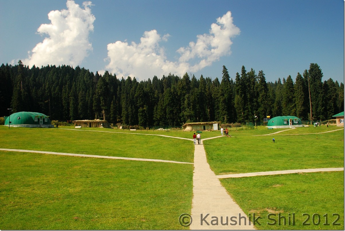
Awesome Tourist GH at Dudhpathri:

DSC_0999

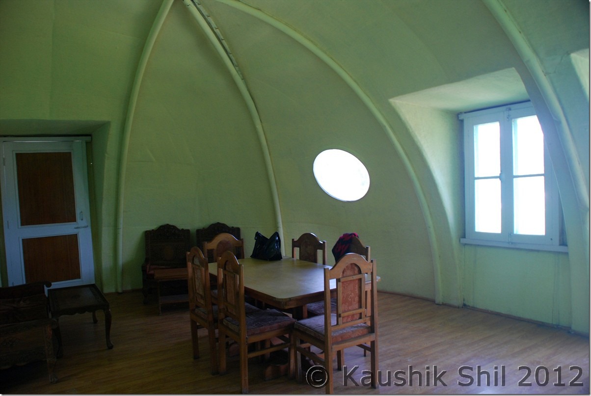
Inside the Pre-Fabricated Huts at Dudhpathri:

DSC_1002

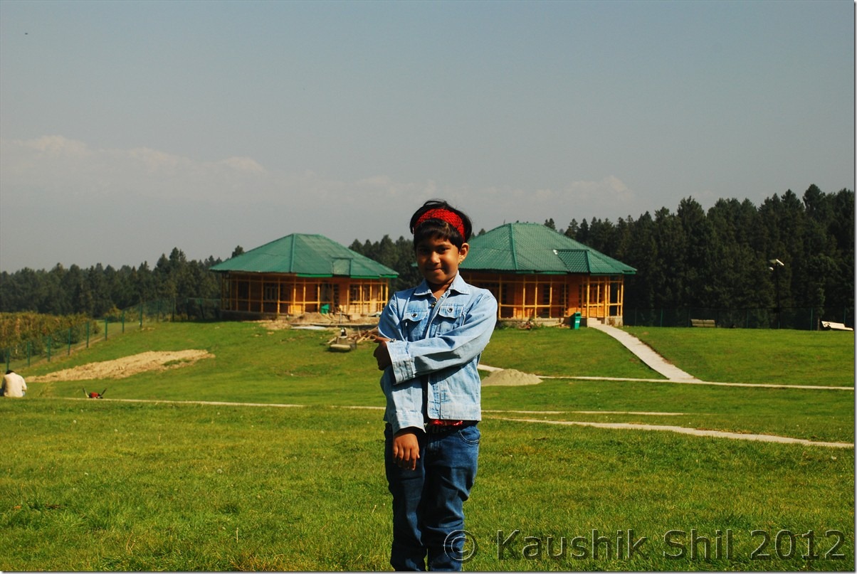
New Wooden Huts are being built:

DSC_10001

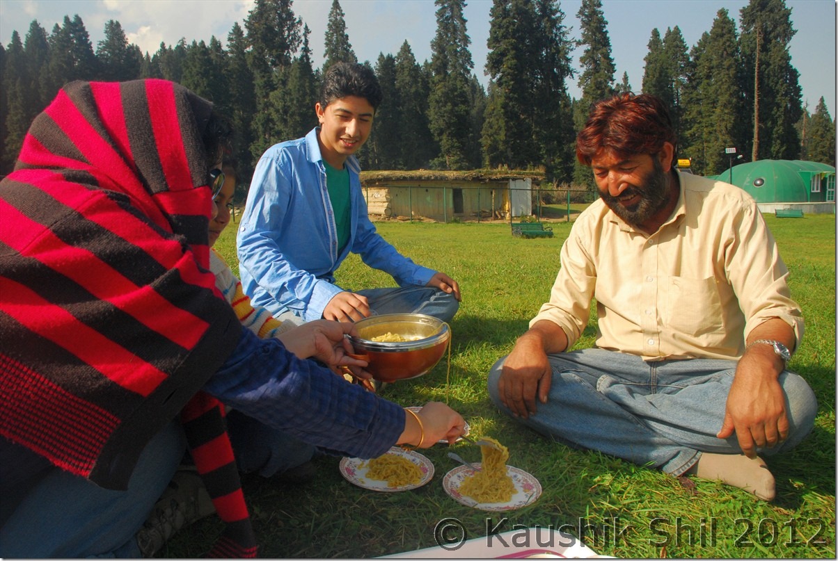
We didn’t have time to stay the night but wish we could, had some snacks, noodles, tea made by the caretaker of the GH who was a very nice person and we had a wonderful picnic on that day. We took Kazim’s son who was studying in Srinagar for this day trip with us and the young boy was really happy to be with us for the day.

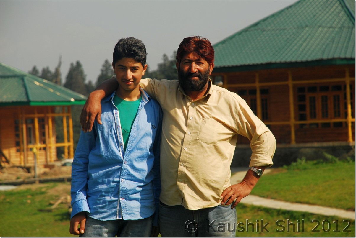
Kazim and his son:

DSC_10016

Our Picnic:

DSC_10020

Lovely Meadow Dudhpathri:

DSC_10029 DSC_10033 DSC_10041 DSC_10053 DSC_10055

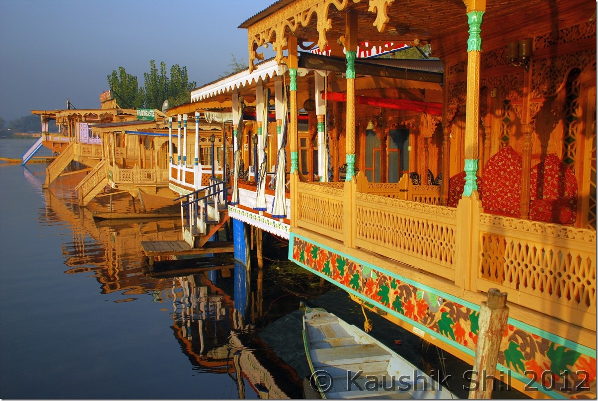
We started our return journey towards Srinagar around 4.00 and by 2 hours we reached Dal Lake, lean season and some hard bargain, earned us a very sweet deal of houseboat stay in Young Golden Palace for just Rs. 1200/- But we didn’t have time to enjoy, as we rushed towards Sunny Paaji’s place for dinner, he invited us couple of days back and we were already late. Reached there around 7.30 and really didn’t know how we spent next 3 hours, it gone like a flash with delicious dishes prepared by bhabi and paaji himself and some intense chit chats on remote areas of Kashmir. Paaji is an avid trekker, has been trekking since his school days and showed us lot of wonderful snaps of his various treks from school days onwards, What a great and nice end to a wonderful trip!! I will surely return to Kashmir again, just to have those Kababs again at Sunny paaji’s place, Paaji thanks a lot for that great dinner, wonderful photographs and the warm get together. We came back to house boat around 11.00 at night and then suddenly I started feeling a void, no more planning, no more discussion with Kazim for next day, it became almost a habit for last 15 days. We have done what all we have planned, in some cases even more than what we planned, still we felt, it could be more, couple of days more!! Srinagar Airport was infamous for rounds of checking, so we had to realign our luggage accordingly, repacked those again and gone for sleep quite late.

Delicious Dishes at Sunny Paaj’s House:

DSC_10059

Bhabi and Paaji, what a wonderful couple:

DSC_10060

A fantastic get together:

DSC_10063

Back to the House Boat:

DSC_10065

07-Oct-2012:

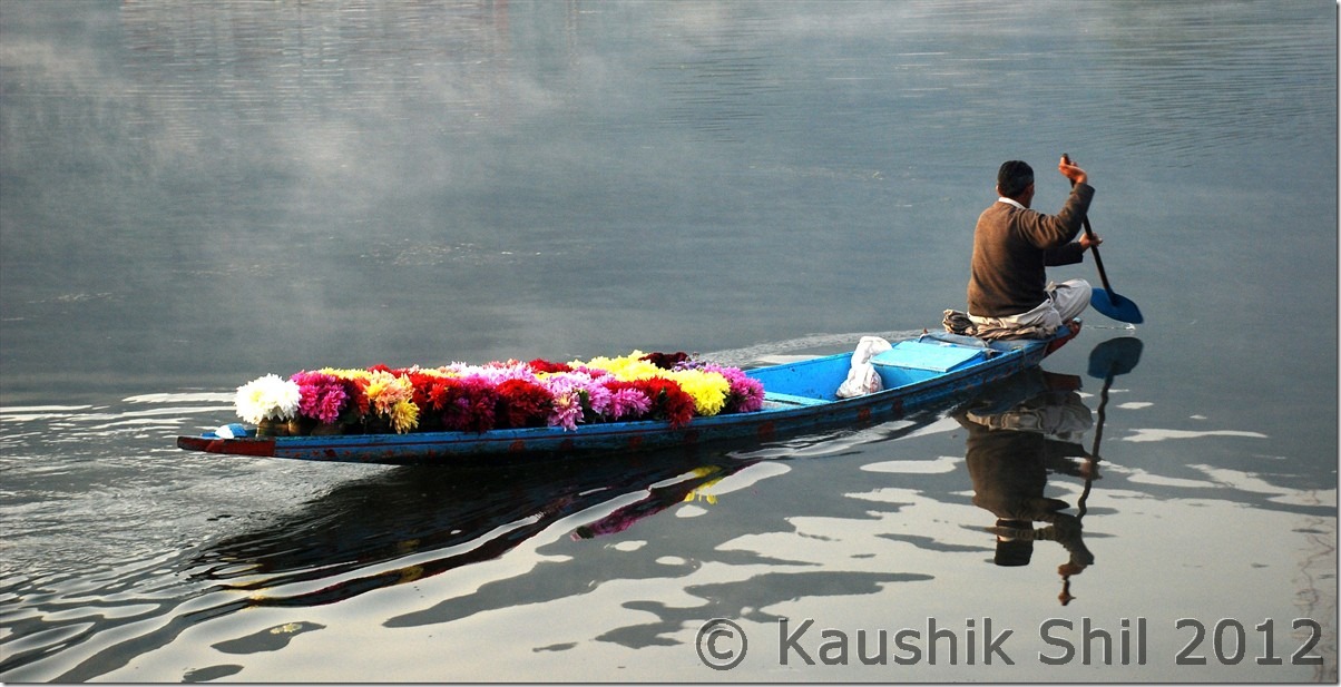
We got up very early to catch the typical morning in Dal, wonderful experience it was, people started lives on water with small boats, selling flowers in a foggy morning in the lake made it fabulous. We enjoyed the lake for almost all the morning before we had to leave for airport. It’s a non eventful journey with some tiring checking in Srinagar airport (3 layers of checking where first layer would be by offloading your luggages from car and put into an X-Ray machine and reloading into the car again) and even more tiring wait time in Delhi Airport T3, took us back to Kolkata. We were very tired but it was really a wonderful trip with so many memorable moments and wonderful people and beautiful places.

Morning at Dal Lake:

DSC_10072 DSC_10076

DSC_10082

Previous: Unexplored Kashmir – Gurez Valley, Chorwan, Bagtore valley

The End

Unexplored Kashmir – Gurez Valley, Chorwan, Bagtore valley

04-Oct-2012:

Lone Saab told us about possibility of visiting an advance border post at Chorwan, so first thing in morning we called him up and reminded him about arranging a permit for us from local army brigade. He was a very nice person, took us to army brigade and got permission for us, the officer looking at my camera gear, just reminded me that it was no photography zone, I was more than agreed to that already. Amit told me about Ramiz Raja, another loveable character who works in the GH and a local lad from Bagtore. We took him along with us as after Chorwan we had to proceed to Bagtore. He had day off on that day and with us he would also visit his home in quick time. So we went to Chorwan first, army was already informed as they didn’t even bother ask about our details and straight away asked us to proceed to the main camp. The person there took us to the observation tower and showed us a 270 degree view of various Pakistani Posts in other side of the ridges through a powerful binocular. We could see their camps and even spot their bunkers some 500 mtrs away. They had several night vision cameras installed there to track the slightest movement in other side of LOC. We were enjoying, my kid was very thrilled, even requested the army to shot few rounds from their Insus, she never has seen bullets so closely, was amazed and asked me repeatedly when Pakistan would start firing (so from our end we could retaliate ). After the visit we had some nice Pakoda and Chay there with the army and had some good chat. It was getting late and we had to move towards Bagtora, so we moved further, got some fabulous shots of Dawar from opposite side of Kishanganga and was able to touch the LOC fencing too, it was really thrilling, took some snaps and then proceeded towards Bagtore.

Dawar from Chorwan side:

DSC_0865

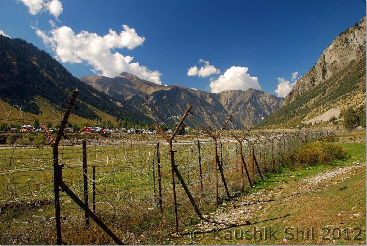
The LOC Fencing, we are standing at Zero Point:

DSC_0866

On the way to Bagtore:

DSC_0872

Near Tarabal where the encounter happened on 20th Aug 2012, militants were trying to cross Kishanganga here:

DSC_0877

The nature at its best:

DSC_0880

Last point where road ends at Tarabal:

DSC_0881

This side of Gurez was even more scenic, we crossed Wampot, Khopri, Nayal and then at Kanzalwan took right and moved towards Bagtore. We reached at Tarabal which was the last village in this side of LOC where motorable road ended and along with Ramiz, we started walking towards the BSF Camp which was the last camp just before LOC. It was a short 20 mins walk just by the side of river Kishanganga and what an amazing scenery it was, I couldn’t really express in words rather try to put some snaps of this small yet beautiful trek. The captain at Camp was posted in Bengal for almost 7 years and could even speak some Bengali was very surprised to see a family with kid there out of no where. He invited us for lunch, which we readily accepted and had a great lunch with roti and sabji. He told though civilians were not allowed there, once we came, we should enjoy the place, he showed us positions of various army camps and bunker positions of Pakistan and also the exact place where a fierce encounter took place between army and militants last year 20th August when they tried to infiltrate by crossing river Kishanganga in a raft.

Walking towards the last Post near LOC:

DSC_0885

Kishanganga is flowing at right:

DSC_0887

Looking back towards Tarabal:

DSC_0891

Extremely colorful terrain:

DSC_0894

BSF Commandar posing with us, the far ridges are in Pakistan just on other side of Kishangana gorge:

DSC_0898

After spending some more time there, we started our return journey and Ramiz took us to his home. We met his parents, brothers and sister, had cup of tea and snacks and chatted with them for a while. The time was very nicely spent with this warm yet simple Kashmiri family in their own ambience listening to the stories of their daily lives. Another amazing day came to an end as we started our return journey and on the way Kazim found a water falls to get a free car wash. We were enjoying the misty evening with clouds and suddenly a white Tata safari came to screeching halt and a gentleman came out and extended his arms, he knew me for sure, I took a guess and yes it was Sunny Paaji, with his friend who was also a BCMTian. So a small BCMT get together was inevitable and what a place to meet Sunny Paaji, we never even thought in our wildest dream that we would be meeting in Gurez after narrowly missing each other in Srinagar and in Aru. They were also travelling to Gurez and fortunately we all stayed the night at JK Tourism GH at Gurez only. After coming back to GH, we had some more chatting on Gurez and entire Kashmir trip. Kazim prepared the chicken again for last time in the trip and it was so delicious to have that in dinner. After a nice dinner, caught up with some World Cup T-20 cricket in TV before we retired for that day.

Trekking back the same route towards Tarabal:

DSC_0905 DSC_0906

Tarabal Village:

DSC_0909

Ramiz (at right) with his brother and parents:

DSC_0928

Previous: Unexplored Kashmir – Gurez Valley Dawar and Tulail

Next: Unexplored Kashmir – Naranag Temple, Dudhpathri, Srinagar

Unexplored Kashmir – Gurez Valley Dawar and Tulail

03-Oct-2012:

We woke up in the morning, had our breakfast brought from Sabbir’s hotel and initiated our discussion with immensely helpful caretaker of the Guest House, Mr. Lone. When he heard we had 2 full days of time, he suggested us to visit Tilail valley to Abdullah (Which now a days known as Chakwali) village on first day, till the point civilians are allowed. The road goes further 17 km to reach Kabul Gali and finally runs just by the side of LOC to reach Mushko Valley (famous for Kargil war in 1999) and then finally meets Srinagar – Leh highway at Drass. Gurez is a narrow valley sandwiched by mountains in north and south side where river Kishanganga flows in between from East to West. The valley is one of the best I have ever seen, narrow yet very fertile, having lots of villages along side the river, you would see farming activities all across, mainly they are into potato farming, potato of Gurez is very famous. The valley gets narrowed initially after Dawar towards east and then again starts widening from Barnoi Village, which is considered as beginning of Tilail Valley.

Kishanganga at Dawar:

DSC_0764

Wild Flowers enroute:

DSC_0775

Barnoi village, start of Tulail Valley:

DSC_0778

The Amazing Valley continues:

DSC_0782 DSC_0786

Potato farming in Gurez:

DSC_0790

Kishanganga River and Tulail Valley:

DSC_0793 DSC_0794 DSC_0796 DSC_0798

It goes on through Barnoi, Dangithal, Tulail, Jurniyal, Manzgund, Badugum, Baduaub to finally Chakwali and then valley again narrows down and the road goes up to the Kabul Gali to cross mountain pass to reach Mushko Valley on other side. We started our journey and kept going keeping river Kishanganga beside us. The picturesque valley was difficult to describe in words, the interesting part was we were invited almost in every village enroute for a cup of tea and roti. We assured all of them we would be back while returning, kept going ahead. It was almost 2.5 hours drive to cover 55 km from Dawar as the road was not not in a good shape.

Tulail Valley at its best:

DSC_0801 DSC_0803 DSC_0806

Farming activities at full swing:

DSC_0807 DSC_0810

We reached Chakwali and crossed the village and kept going ahead, we didn’t see any police or army check post and our idea was to drive until we were stopped by someone.

Chakwali Village and locals:

DSC_0815 DSC_0817

After another 7km drive we came across a bridge where BEACON labourers were working and we found the bridge was not opened, though there was another road to cross the river through river bed, it was not possible for a low GC car like Innova, though Army convoys could easily cross that and move towards Kabul Gali. We could see from that point, road started ascending again towards hill top and we were told in another 3km there would be an army post where the permits would be checked and as of now no civilian (except army convoy and VIP like MP/MLA/DC) is allowed in that road to Drass beyond that check post. So we took a stop there and cajoled the BRO workers to get a cup of tea but it didn’t happen as they were working in the site and they told they had nothing there to prepare tea. The place was looking amazing, all snow peaks around, the valley half turned into golden yellow due to fall colors, half still in green, looking amazingly gorgeous in the backdrop of clouded sky.

Awesome mountain scenaries as we approaching end of Tulail Valley:

DSC_0820 DSC_0824 DSC_0827

Gurez is really very scenic place and more beautiful are the people there. While coming back we stopped in Chakwali village for a while and started a small chat with the locals. They were telling us how indifferent Govt/ administrations were for their causes. They got alienated from rest of the world for more than 6 months due to pass closure and Govt couldn’t even provide a simple medical facility there. Any medical emergency usually be attended by Army Doctors and any emergency evacuation even done using army choppers. They have couple of primary and middle schools and one high school in all these 12 to 15 villages across 55km but all of them were mostly built and managed by Army. This was a place where people were really appreciating the work of army for local development. But they have some grudges too, not entirely unreasonable, I have seen myself, the LOC fencing whatever they have put, was atleast 5km inside the actual LOC and unfortunately gone through the middle of the farm land even after the disagreements of the locals. They were telling how these fencing in middle of land and village used to create trouble for them, every day, be it by reducing the farming area, cutting down the short walks across the village, even the cattle get themselves trapped and hurt while grazing through those fences. While chatting, we didn’t even realize when they arranged for namkeen chay and makai ka roti for us. It was really fun to have those with them enjoying the chill outside. That day probably we had 20 cups of tea on the way back to Dawar at different villages. They had to walk 10km for buying biscuits from nearest grocery but they won’t hesitate to offer those biscuits to the complete strangers like us.

The road approaching towards Kabul Gali:

DSC_0828

The Bridge upto which civilians are allowed in Gurez – Drass Road:

DSC_0831 DSC_0838

Warm people of Chakwali Village:

DSC_0843 DSC_0844

Notice the valley at far side, a walk of 2 days through that would take you to Sonmarg:

DSC_0846

We finally reached Dawar around 6.00pm and watched TV for sometime. Dawar was most important and biggest town of Gurez and it is powered by generator between 6.30pm to 12.00 midnight and again between 5.00am to 6.00am in morning mainly for water heating. Dawar JK Tourism GH was inaugurated last year, located in a fabulous place beside river Kishanganga with Habba Khatun at backdrop. We had our dinner and retired for the day with a plan of exploring the Bagtore side on next day.

Habba Khatun Peak:

DSC_0852

Amazing location of JK Tourism GH at Gurez:

DSC_0854

Previous: Unexplored Kashmir – Karnah Valley, Teetwal, Lolab Valley, Entering into Gurez Valley

Next: Unexplored Kashmir – Gurez Valley, Chorwan, Bagtore valley

Unexplored Kashmir – Karnah Valley, Teetwal, Lolab Valley, Entering into Gurez Valley

30-Sep-2012:

We woke up by 6.30 in the morning and had tea, roamed around Reshwari for one last time, the place was so serene and peaceful, you would always like to comeback. Soon Bashir prepared a nice breakfast for us and after having that we said good bye to them and proceeded for our day with unknowns. We soon hit TCP Nawgam, the army asked us with a smile if we gone to Bangus, we answered with a smile keeping the answer vague that how beautiful the whole place was. Reshwari to Handwara was around 20km drive. We soon hit Handwara – Baramula road at Langate and turned towards Handwara. We traced back our route to Kulangam to meet Sopore – Kupwara highway and then turned left towards Kupwara. The road was in excellent condition and a further 18km drive from Handwara took us to Kupwara.

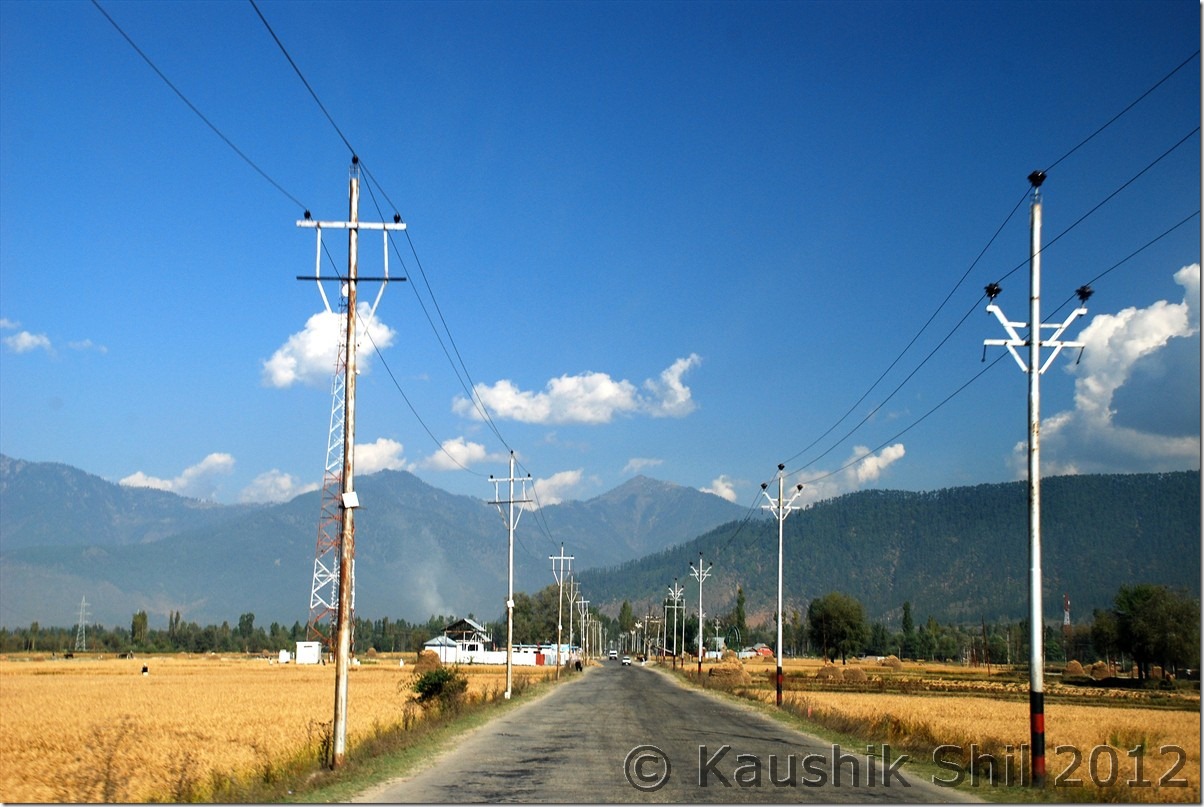
Enroute to Kupwara:
DSC_0619

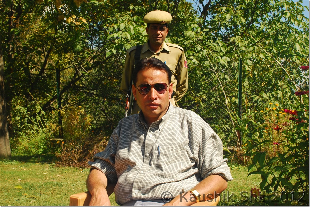
Kupwara had a T-junction, bottom end of T is coming from Handwara side and the top left of T is going towards Karnah Valley via Chowkibal – Tee Pee – Sadhna Top. The top right is going towards Lolab Valley and Machal Valley (Towards LOC). We took left as Sabbir saab arranged our accommodation at Chowkibal PWD GH. We reached there after a drive of 23km from Kupwara, found out the PWD GH but surprised to see presence of many police persons there. Anyway we spoke to the caretaker there and he was already informed by Sabbir Saab and shown us the room on upstairs in no time. But it was little congested and not having much openings, felt slightly damped as well. We didn’t like the room and were preparing to spent the night there somehow. Then we thought of taking a tea break there and in this time I noticed a gentleman with 2 other persons sitting in the lawn and heavily guarded by police force. The gentleman saw us and invited us to join him, we gone little hesitantly but then started a nice conversation with him. His only son was studying engineering in Delhi and he started telling us about Kupwara region. He told he had come there for going to a day trip to Bangus with his family members. I was surprised how Bangus trek can be started from Chowkibal but he said there was another approach from Drangyari (Tee Pee) towards Bangus where again after some distance one had to trek, later I found that road as well while going towards Sadhna Top. Soon he introduced himself as Mr. A.R.Khan, DSP, Kupwara. He was very nice and amicable person. Once he heard we were about to settle the night at Chowkibal, he suggested us to visit Karnah Valley and suggested us to visit Teetwal specifically, the border between India and Pakistan and from there we would be able to see Pakistan’s village even in hand shaking distance. He mentioned there was a PWD GH in Teetwal just beside the river Kishanganga where we should spend the night. We were very excited but asked him how we could get the permission. Khan Saab then asked for a paper and just there made a handwritten letter to Karnah Police Station SHO at Tangdhar to arrange everything for us to stay the night at Teetwal. We couldn’t ask for more really, didn’t think even a second to say a thank you and good bye to the caretaker of Chowkibal GH and proceeded towards Karnah with his letter.

A.R.Khan, DSP Kupwara without whose help we won’t be able to make Teetwal or even Sadhna Top:
DSC_0620

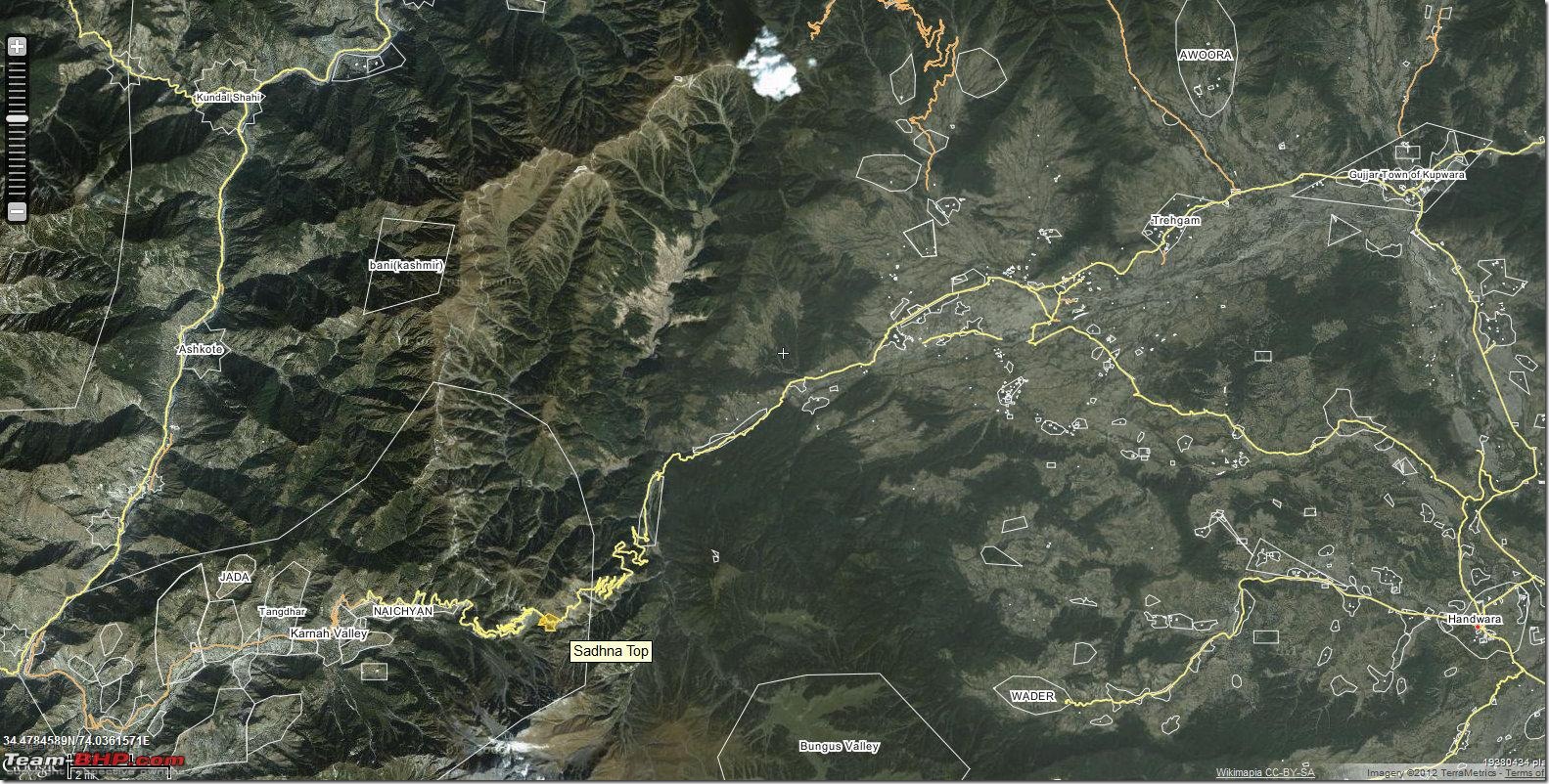
The Map of Karna Valley – Note the last road marked orange is ended in Teetwal and other side the North South Road marked in yellow is in Pakistan going from Astore (Neelam Valley) to Muzzafarabad. — Source Wikimapia
Kupwara_Drangyari_map

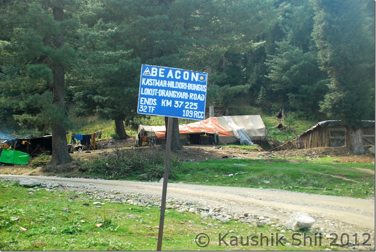
Just after Chowkibal, first time we had to register our details in an army check post in this route. But problem came when we approached the second army check post just before the ascent of Sadhna. There the army was not willing to let us go even upto Sadhna Top without a valid permission taken from DC, Kupwara. Initially I didn’t tell them about DSP’s handwritten letter as I was trying to understand the reality, I knew couple of people visited till Sadhna Top without any permission. But he explained me rule has been changed and now to cross that check post and going further we need permission from Kupwara District Administration. Finally I was forced to show him the letter given by DSP and realized had we not been meeting DSP at Chowkibal, we won’t even be allowed to Sadhna Top. Anyway we proceeded further and the initial part of the road was not that good but from 10 km before the top, the road turned very good. We crossed the nice meadow of Tee Pee (Drangyari) and there we noticed the road marker to Bangus. It was written as Kastwar – Nildori – Bangus – Lokut – Drangyari Road showing 37.225km and maintained by BEACON. If anyone is having any idea about the exact alignment of the road, please let us know.

The Road Marker to Bangus from Drangyari:
DSC_0706

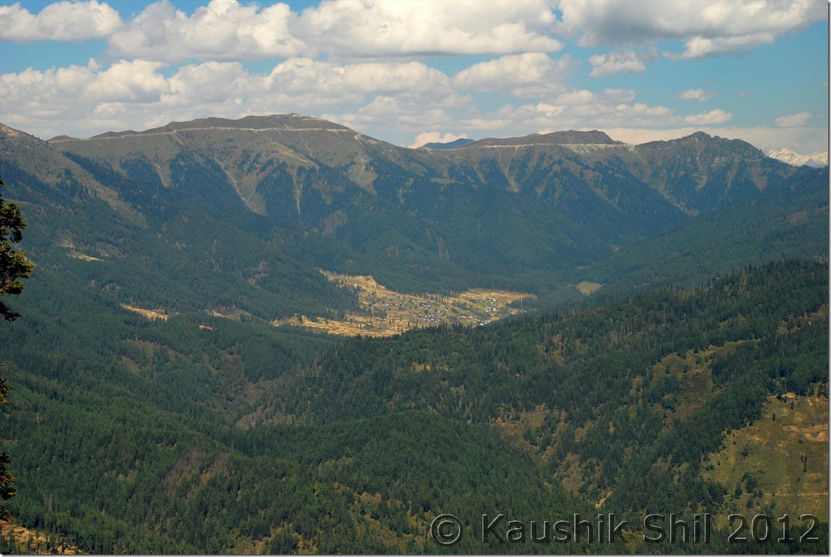
We reached Tee Pee which was 10km from Chowkibal and then another 16km drive took us to Sadhna Top. Just 5 km before reaching the top there is a place enroute from where you would get an excellent aerial view of vast valley of Kupwara and the narrow Keran Valley.

Keran Valley at far from a bend enroute Sadhna:
DSC_0705

The top was excellent, on the other side road slowly winding down towards Karnah Valley. Now again the TCP at Sadhna Top asked us to show the permit and all details. Initially they asked us simply to turn back stating civilians apart from locals were not allowed beyond that point. We showed him DSP’s letter and he spoke to his seniors and came back stating this letter was just hand written and not with official stamps, so he couldn’t accept that. Somehow DSP mentioned his 3 mobile numbers there in the letter (probably apprehending this kind of trouble enroute), I asked the army guy to call and verify, now he was in trouble as there was no connectivity (of mobile) on and beyond Sadhna Top. He again gone back to camp to consult his seniors and then came back and asked for Driving License of Kazim. Army kept that and asked us to go quickly till Tangdhar and back and collect the license while returning on that day itself. Though we didn’t mention our intention to go till Teetwal to them, just told we would be visiting till Tangdhar but the direction of coming back on same day was really too much to accept for us. The argument kept going, we said we couldn’t come back on same day as it was already 2.00pm by then, one more round of discussion with their seniors and then finally they agreed to let us go with two conditions, first, we had to come back by next day and second we won’t be going beyond Tangdhar.

Sadhna Top:
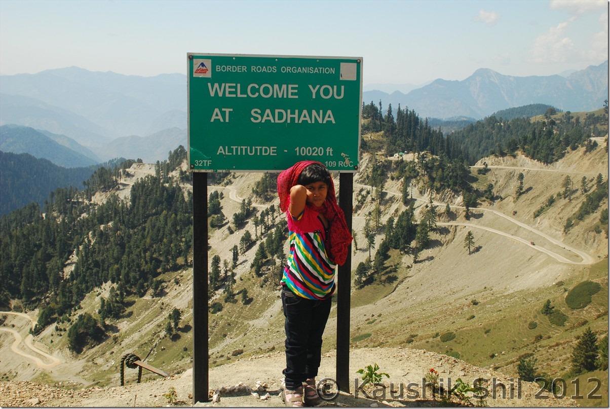
DSC_0626

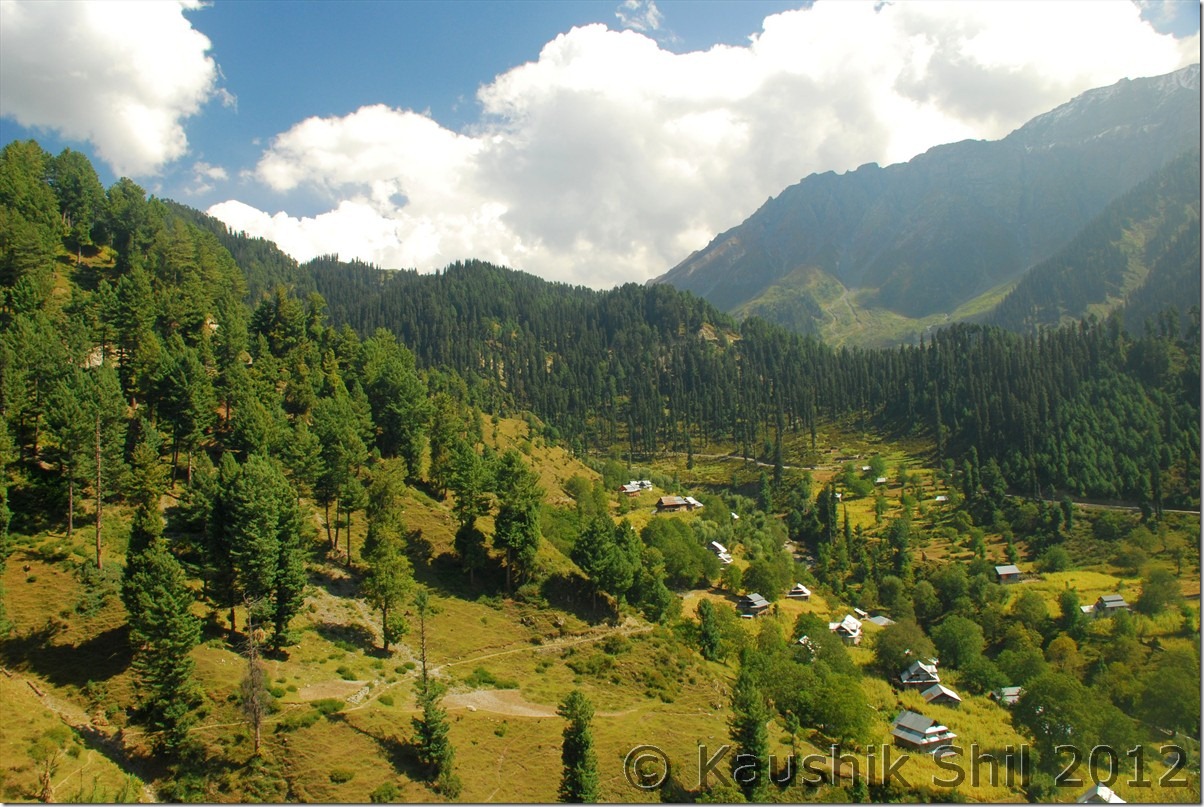
We accepted and proceeded further, the valley started getting widened and vista opened up. Karna Valley was really a treat to eyes, we reached Tangdhar which is 26km from Sadhna Top in another one and half hour and straight went to Karnah Police Station there.

Karnah Valley – So lovely:
DSC_0629 DSC_0631

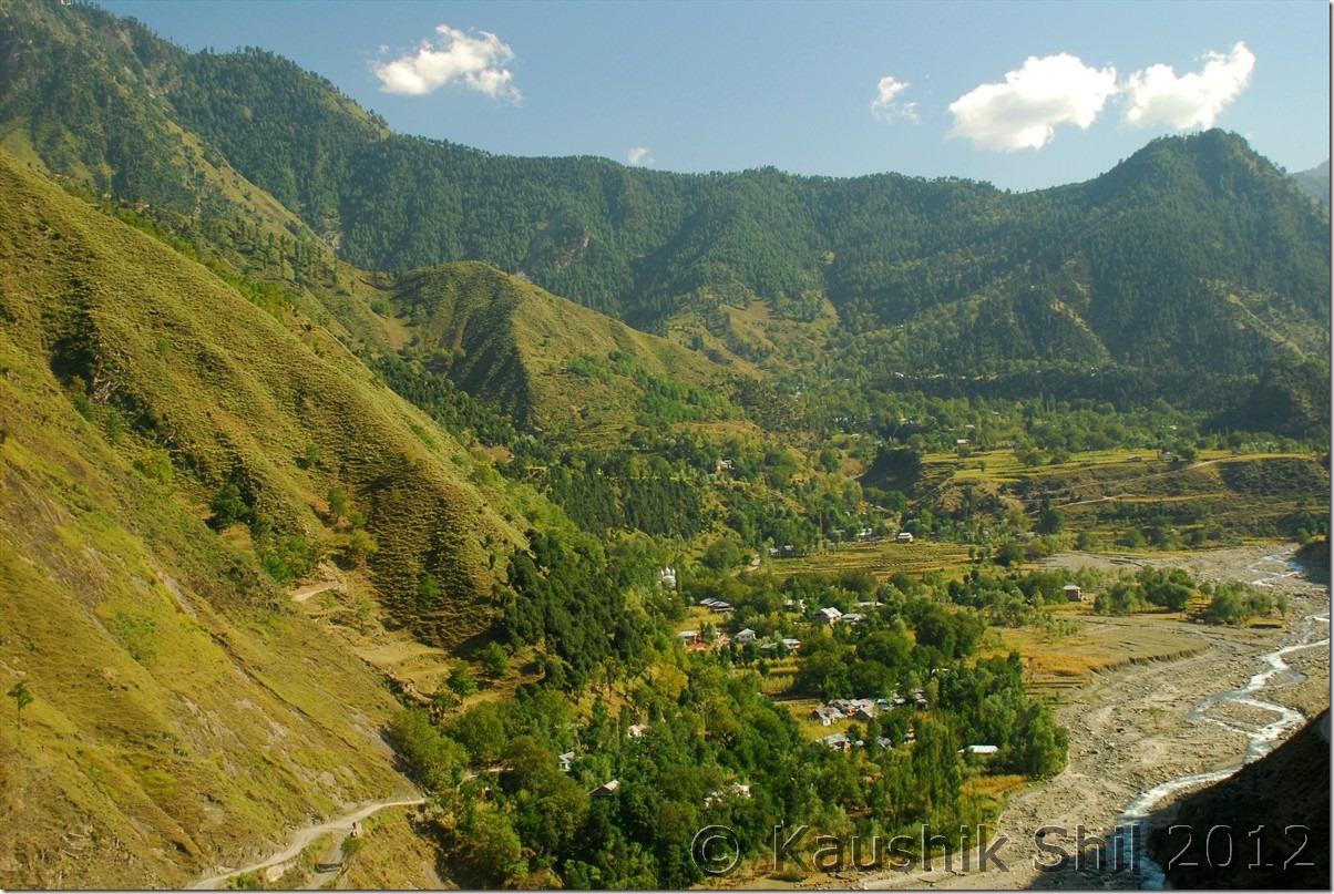
We met SHO and told him our intention of visiting Teetwal which he rejected out rightly telling no tourist is allowed there, they only issue the permits to local and that too a day pass only. Then we showed him the letter from DSP, things changed slightly but SHO was still not convinced and he said he needed to verify by calling DSP’s mobile number. Next few hours it was a frantic try going on to reach DSP, it was difficult as I said this side of Sadhna has limited phone connectivity due to security reasons, no mobile worked this end, they were trying from landline but as DC gone for Bangus trekking, I was not expecting to reach him any time soon. So police told us to roam around Tangdhar and mean while they would keep trying contacting DSP. We thought of doing the same but finally ended up loosing almost 2 hours by looping around Tangdhar hills in very bad road across the hilly region. We took a tea break at a small village called Tad, spoke to the locals there, they showed us the ridges occupied by Pakistan in far but suggested us to visit Teetwal for a closer look to Pakistan.

Tad Village:
DSC_0636 DSC_0637

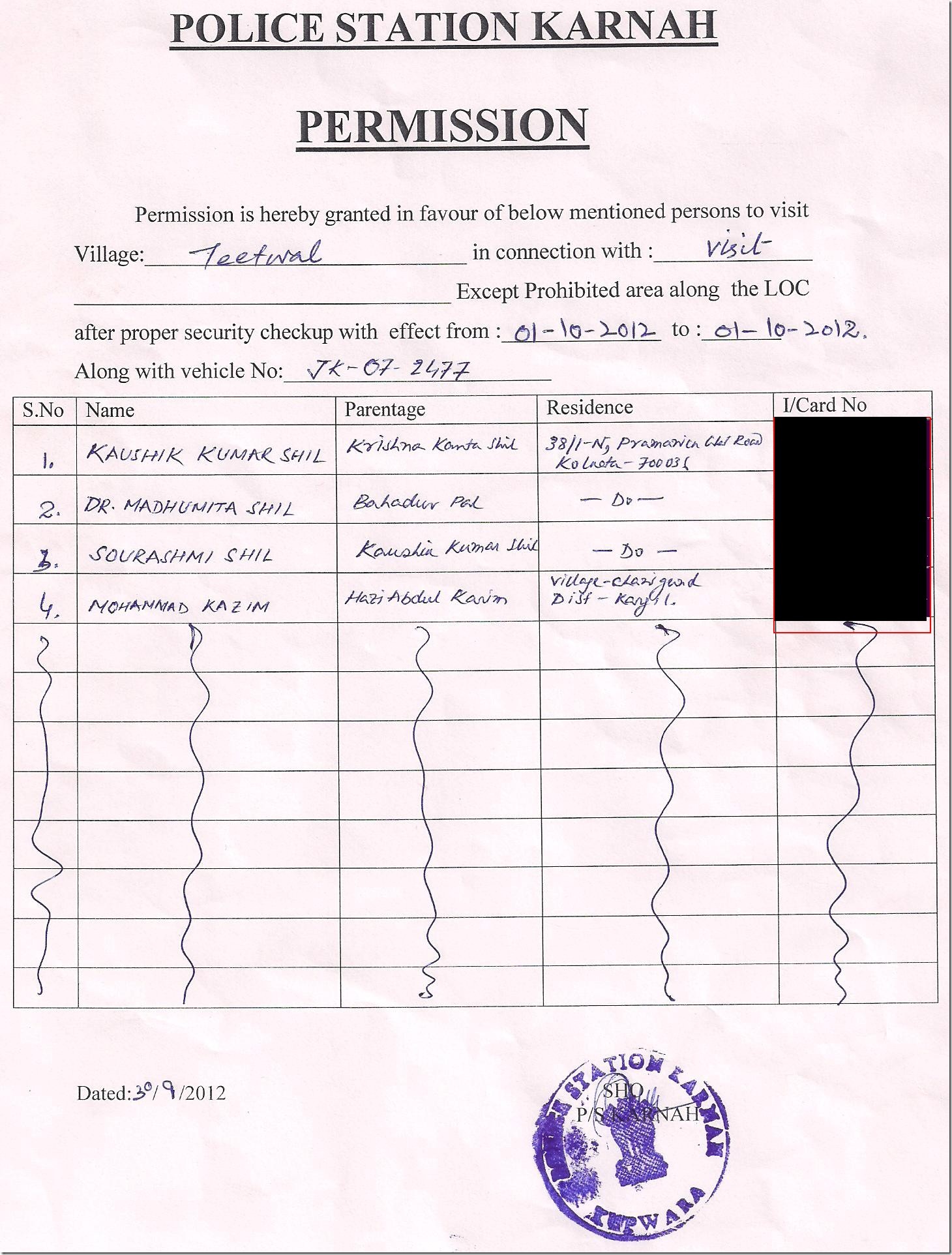
We returned the Police Station around 5.30 and by then they were able to contact DSP. Then they said at most they could issue a day permit, no way they could give permit to stay at Teetwal, we really had not much to bargain, we accepted that and asked for Teetwal permit for next day and mean while planned to stay the night at Tangdhar PWD GH. We met Javed, the caretaker and wonderful guy there at GH but he said he couldn’t issue a room without consulting executive engineer, as we were with family, he was kind enough to take us to Executive engineer’s home and there we got the permission of staying at the GH. Executive engineer was surprised too to hear tourists from Kolkata came to visit Tangdhar. The guest house was really nice and food served by Javed was even better, we retired for the day quickly having a big hope of reaching LOC next day.

Teetwal Permit:
Teetwal Permits Issued_Print

Tangdhar PWD GH at evening:

DSC_0647

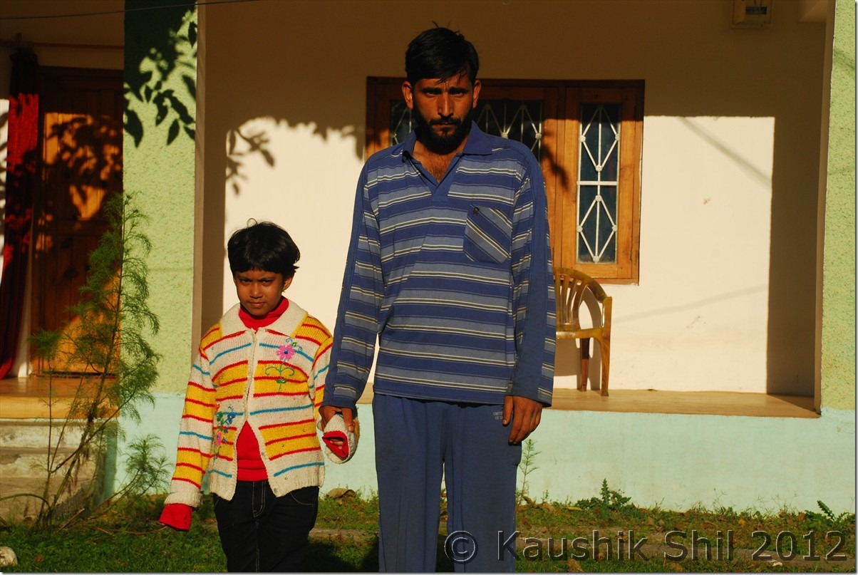
Ever helpful Javed, the caretaker with my daughter:
DSC_0649

01-Oct-2012:

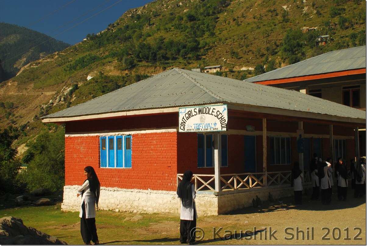
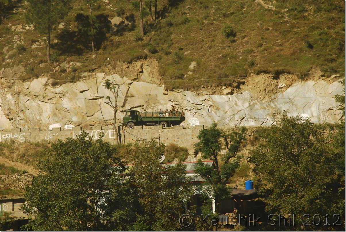
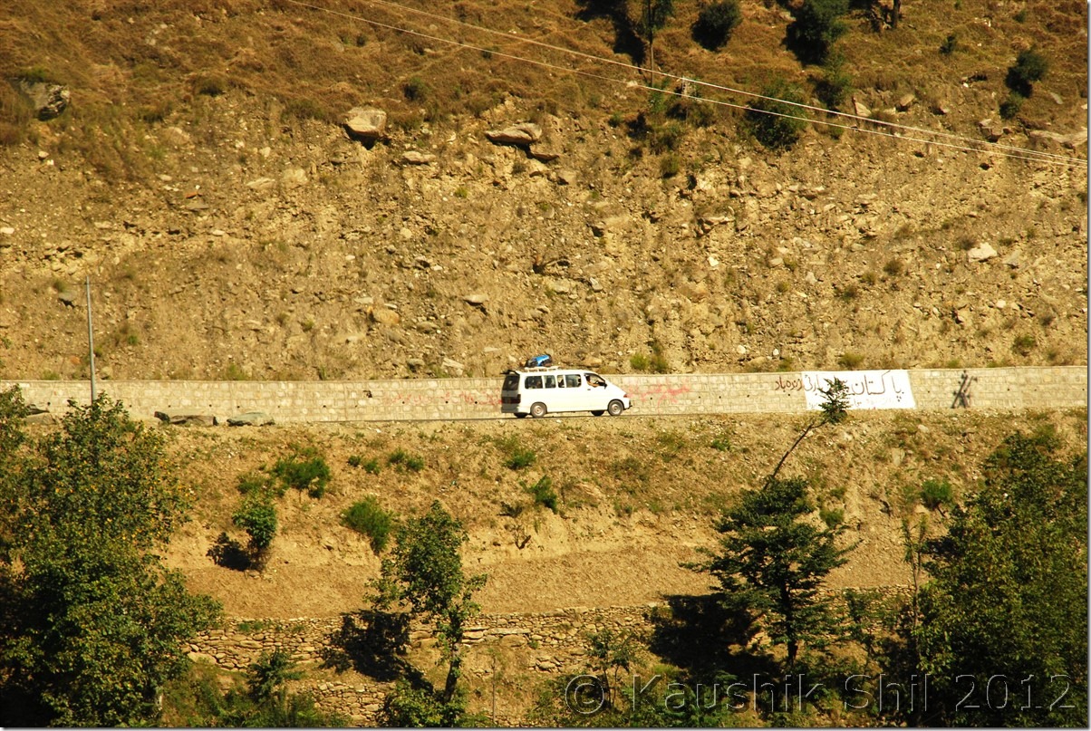
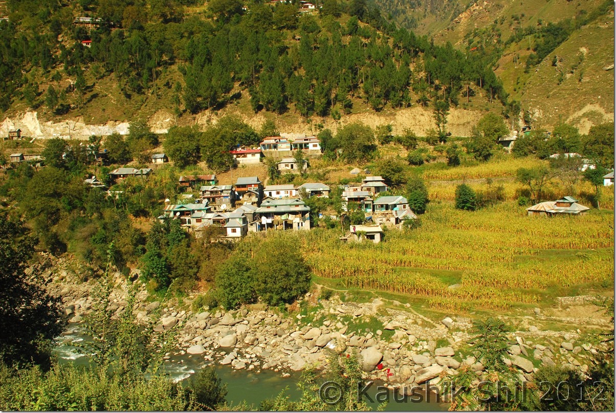
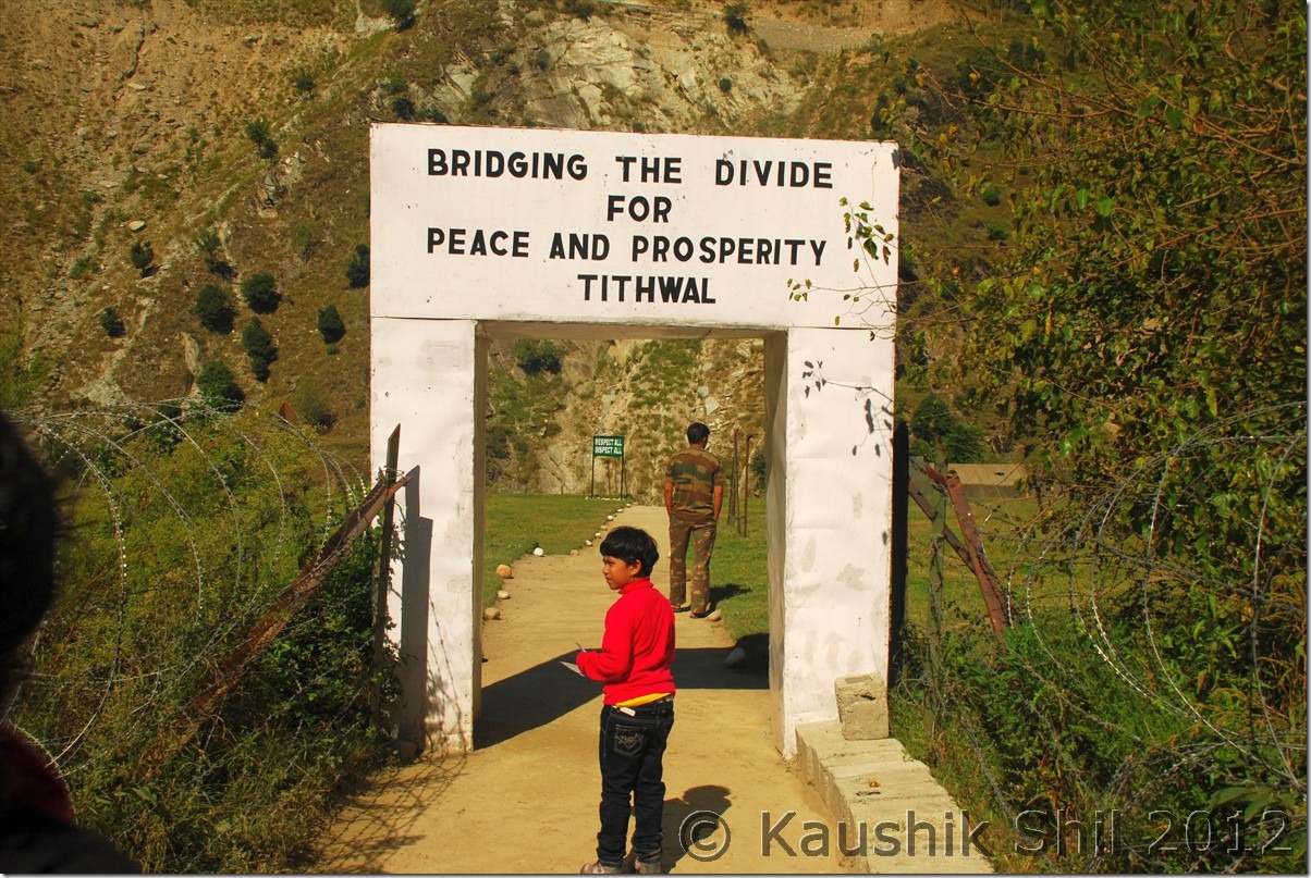
We quickly had a breakfast in the morning and started our day. The destination was Teetwal and a 7 km drive took us to Chamkot, the first army post where we had to show permit and prove identity. At this place, they again asked for Kazim’s Voter I-Card and kept it with them asking us to collect it during return. This was strange, no where in India I have seen despite of having valid permits, army insists on keeping the original proof of identity with them to allow us to proceed further. Anyway we have gone through 7 such check posts including Army, Police, CRPF, BSF etc. for the next 10km journey to Teetwal and road was simply pathetic. The last evening at Tangdhar GH, civil dressed CID persons met us and verified our identity cards, they had the information about us from local police station and according to them any new comer at the valley except locals used to be thoroughly checked. Anyway the other notable point was in all these 7 check posts we had to leave one or the other of our original I-Card. Finally Kazim had run out of all his I-cards and I also had to submit couple of my I-Cards in between. Finally reached Teetwal around 9.30 in the morning. I have seen borders many times but difference in Teetwal was the inhabitation, roads, buses, trucks plying, people walking, even women washing clothes in other side of river, it was all so close within 50 mtrs of where I was standing. The border didn’t look like normal LOC where you would just see a fencing but no human being around, it was rather full of life, could even see those Toyota Van, colorful buses of Pakistan going to Muzzafarabad. But strikingly the roads made in Pakistan end was fully metalled (heard it was built by Chinese) and in much better condition than what we faced in Indian side. Locals mentioned Pakistan end was better in terms of power, road and telecom infrastructure. The locals here too would touch your heart by their simplicity. One old man came to my car and requested me to take his complain that though his house had no electricity for last 3 months, he was paying the bill, they never saw tourists and thought we were some officials came in a visit and honestly looking at his innocent face, I couldn’t tell him the truth, I gave him some false assurance that I would inform the appropriate authority and the smile that appeared then was simply unmatched and priceless.

Teetwal Middle School, Pakistan in background:
DSC_0652

Pakistan’s Army Truck going towards Muzzafarabad:
DSC_0662

The Toyota Van in other side of border going towards Astore (Neelam Valley, Pak Occupied Gurez Valley):
DSC_0665

Pakistan’s Village just on other side of Kishanganga:
DSC_0670

The colorful buses of Pakistan:

DSC_0682

Towards Teetwal Bridge – Locals cross it to their relative’s place with appropriate papers, so it’s not a closed border:
DSC_0686

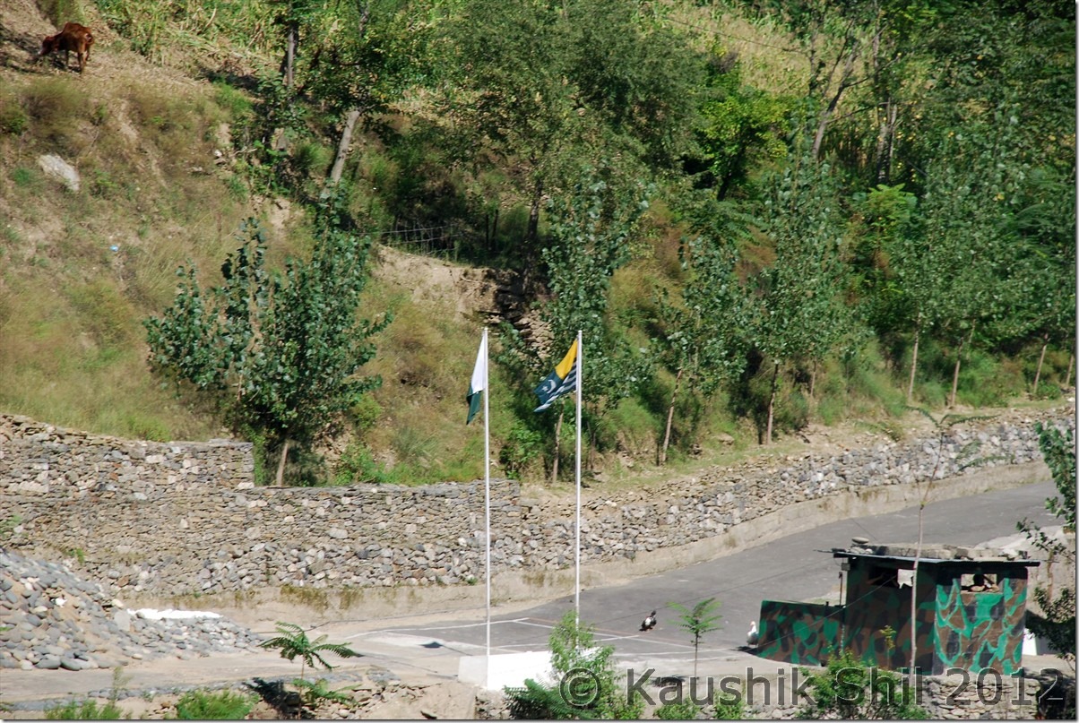
Otherside of Teetwal – Flag of Azad Kashmir (Pakistan Occupied Kashmir) and Pakistan:
DSC_0691

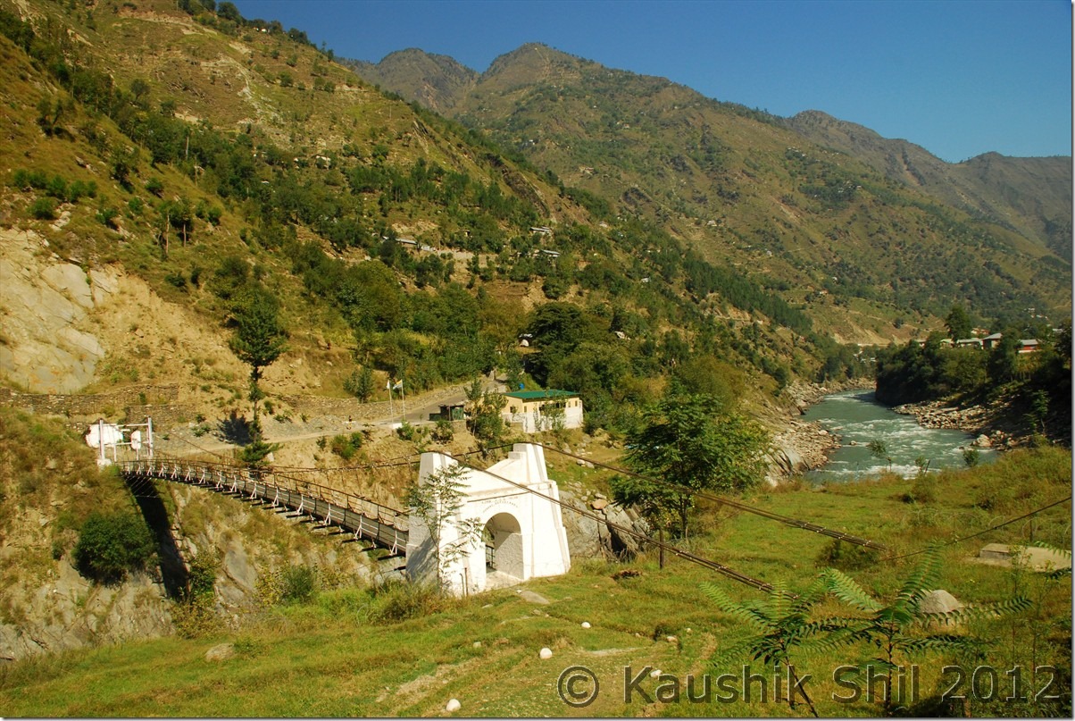
Teetwal Bridge – Otherside in Pakistan you can see Muzzafarabad – Astore Highway and this side Indian Village of Teetwal divided by River Kishanganga:
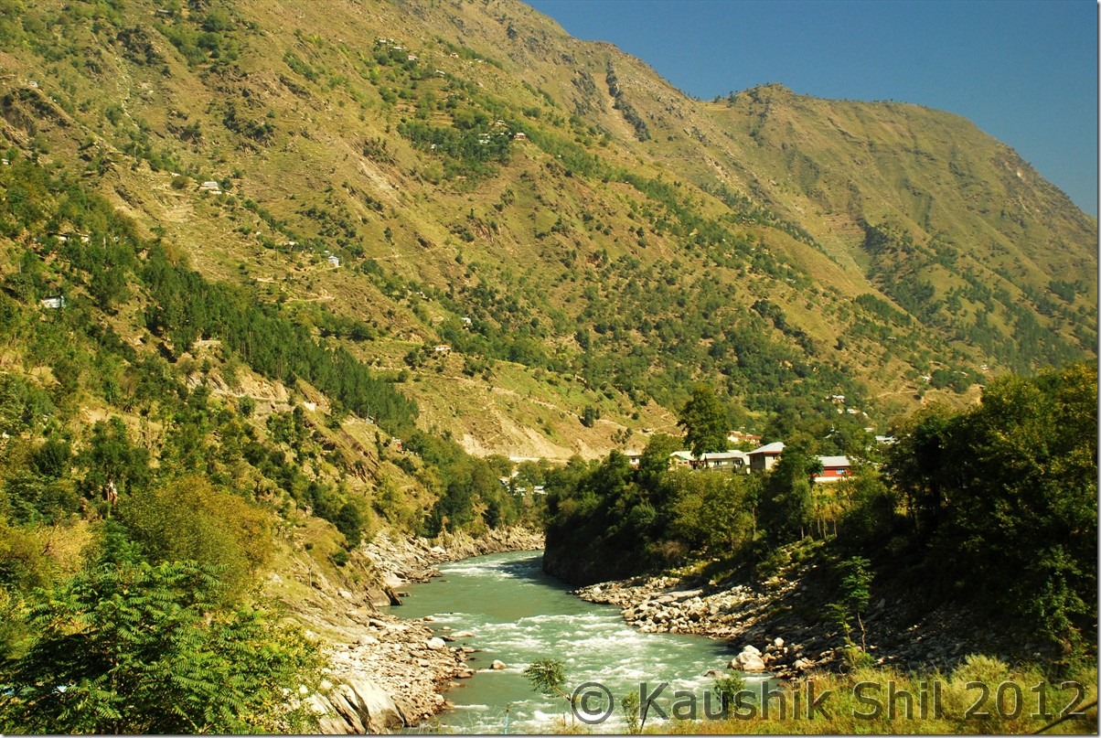
DSC_0694

DSC_0688

The last turn – Kishanganga after on and off into India, finally enters Pakistan, renamed as Neelam and meet Jhelum and finally Indus
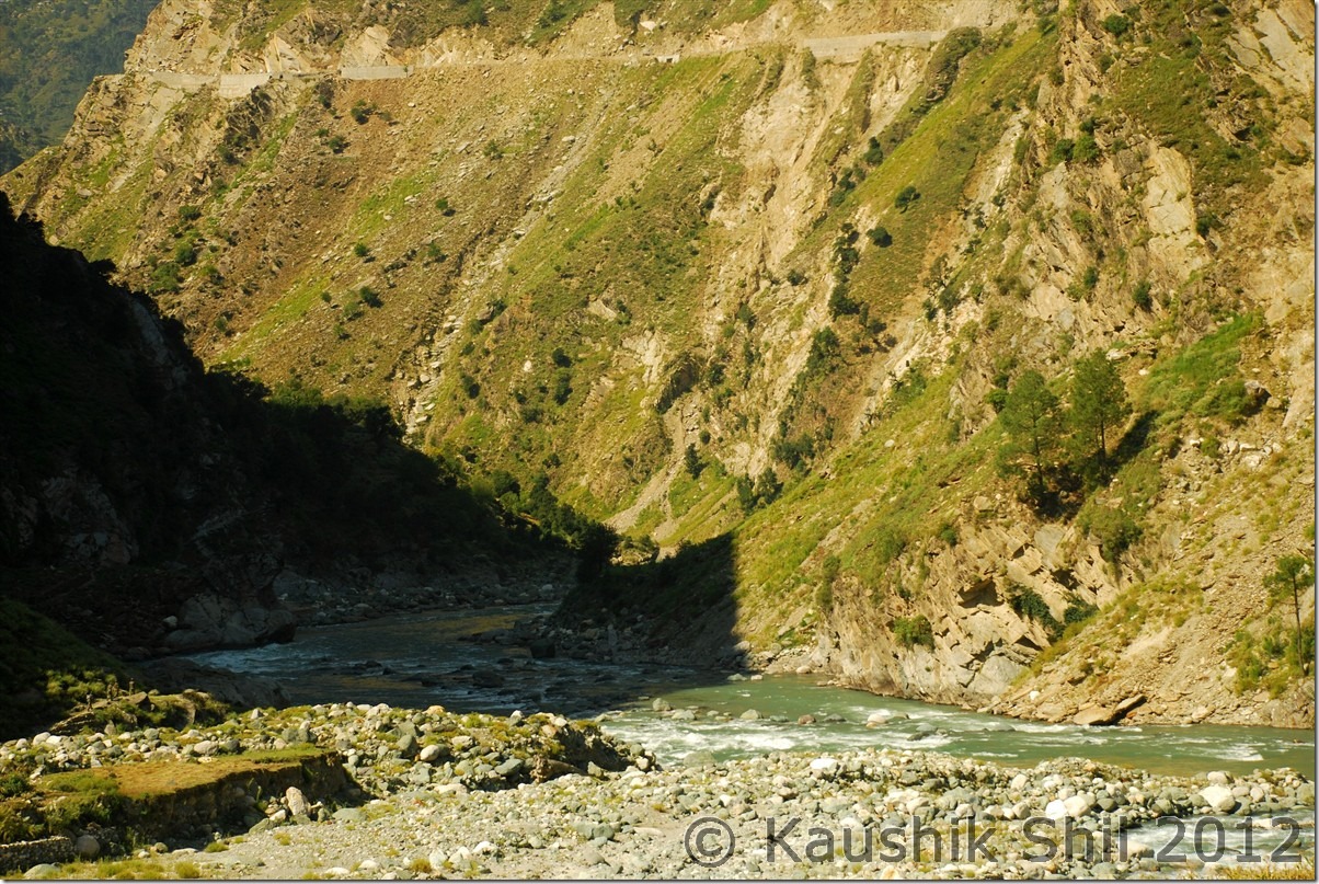
DSC_0698

Return was through same route via Tangdhar and Sadhna Top, only important thing was to collect all our I-cards we submitted in between. We had a quick tea break at Tangdhar and then back to Sadhna Top – Tee Pee – Chowkibal – Kralpora and Kupwara. Just before Kupwara we got stranded in a traffic jam due to an army convoy, lost almost half an hour. We didn’t loose any more time in Kupwara, as it was already afternoon, we were hurriedly moving towards Lolab Valley. We were supposed to stay at JK Tourism Guest House at Chandigam, a brand new GH, inaugurated just 2 months back. One of the best JK Tourism GH in terms of cleanliness and facilities, would be this one for sure. The caretakers Umar, Ershad, Yaqub all three were very friendly, we had a nice dinner there and then had a long post dinner chat with them along with cups of hot coffee which was really interesting. These guys were very tired after hosting 3 days of Lolab festival but we never missed their smiling faces and helping hands whenever we approached them. Umar prepared a nice map for us to explore Lolab Valley and with that we would start our journey next day.

02-Oct-2012:

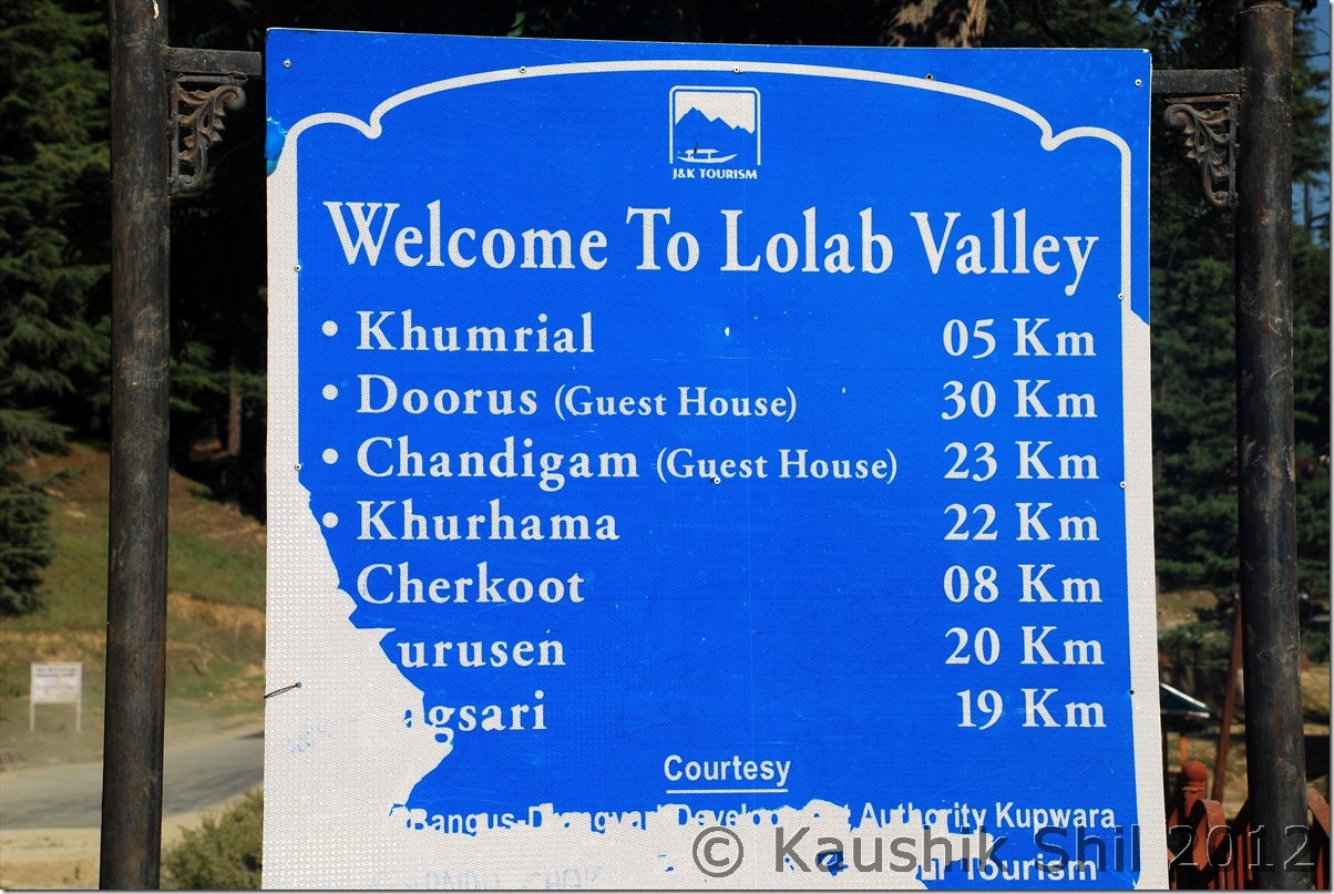
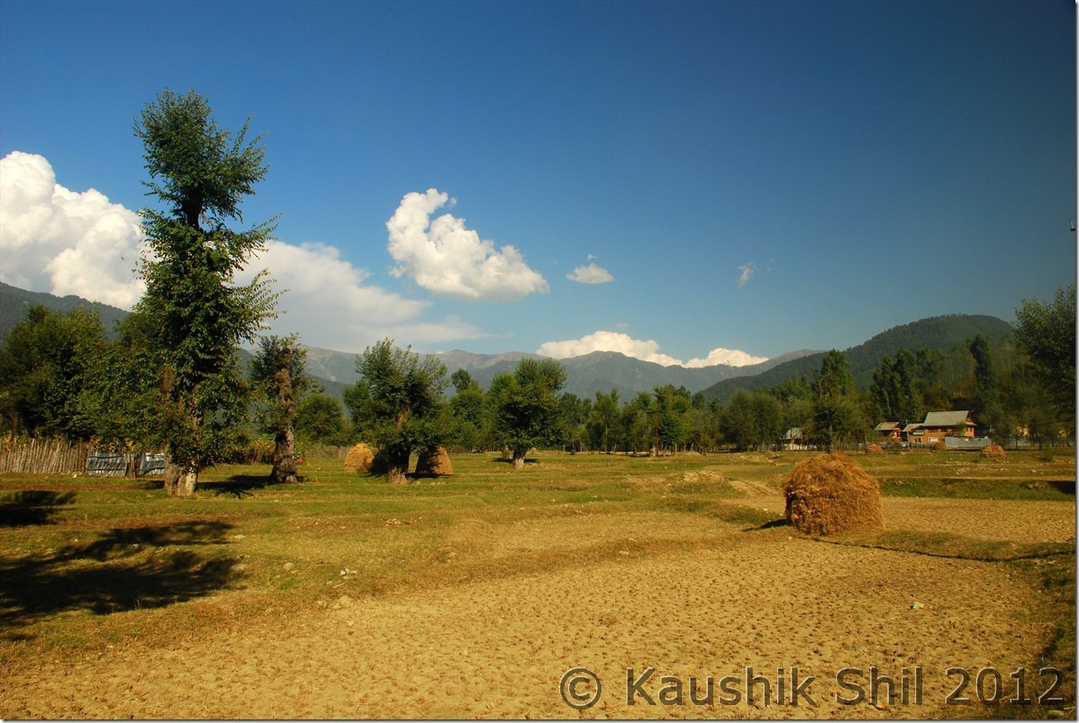
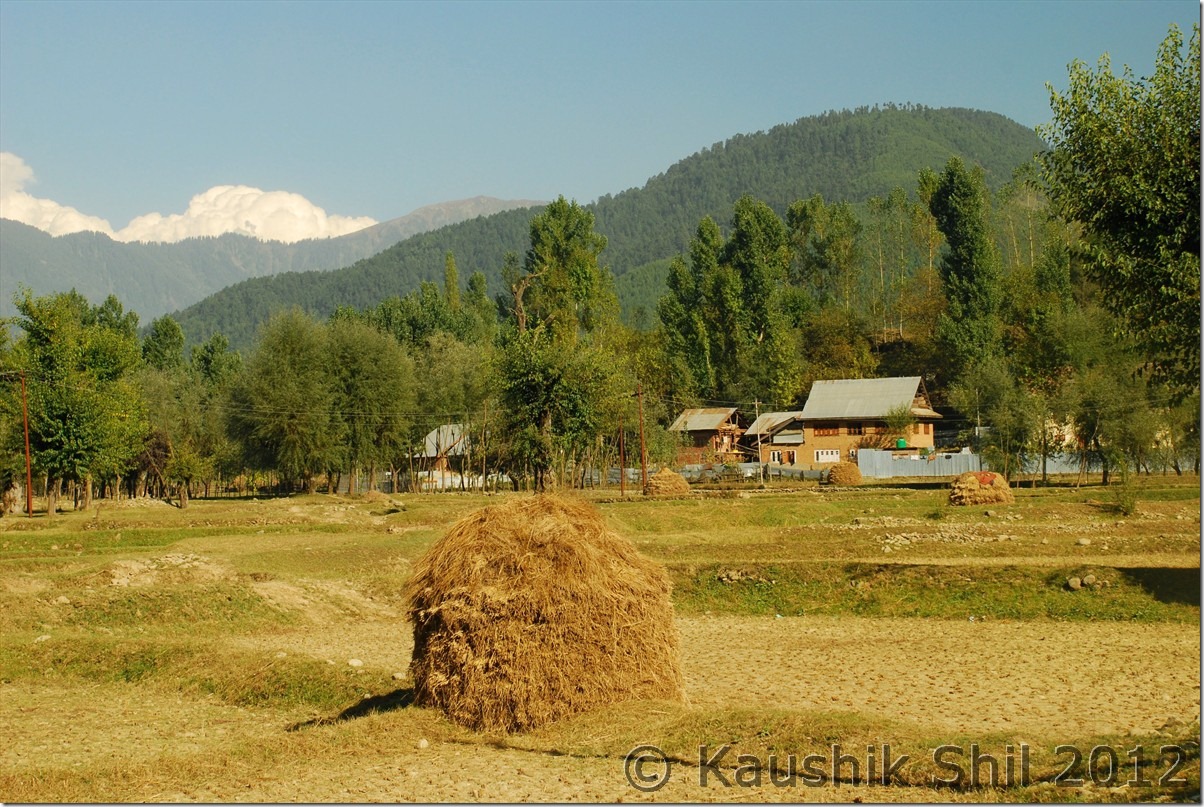
We woke up early as it was a long day ahead of us. We had to visit Lolab Valley and then we had to move to Gurez Valley (Dawar) for our night stay. Umar first took us to a place called Naya Chandigam, which was 7km apart from Chandigam GH and the place was very scenic. JK Tourism has acquired land in that place to develop a nature park, which would really be a nice plan. Chandigam is centrally located in lolab valley and the major two big villages in the valley are Sogam and Lalpora. We planned to start from Sogam and took an anti-clock wise loop across the valley via Sogam – Walkul – Takipor – Lalpora – Wavoorer – Khumriyal – Kupwara. Considering the time left we decided to leave Kalaroos for some other day as it was a detour after Khumriyal and we had to reach Gurez on same day. The Lolab valley was a vast land surrounding hills and dense forests and huge farm land, it was somehow giving me a feel of rural Bengal. When we visited, the leaves started turning yellow/red and by October end / November we heard lolab would start looking amazing and gorgeous with fall colors. Lolab is a place where you don’t have any specific destination, you can roam around any road that comes your way and certainly you will enjoy it, it’s just a kind of exploring this wonderful land. DSP, Mr. Khan and Tourism Guest House Caretaker told us, the place was still not completely safe, there were lots of army camps in every 2/3 km and anyone staying in Tourism GH had to be reported to them with all details and that was the reason why during checking in, we had to furnish a lot of information including skin color. Few stray incidents happened mainly after sun down in last few months but when we visited the valley in morning we found it very warm, charming and full of lives.

Few snaps of Lolab:

Lolab’s hand made map by Umar:
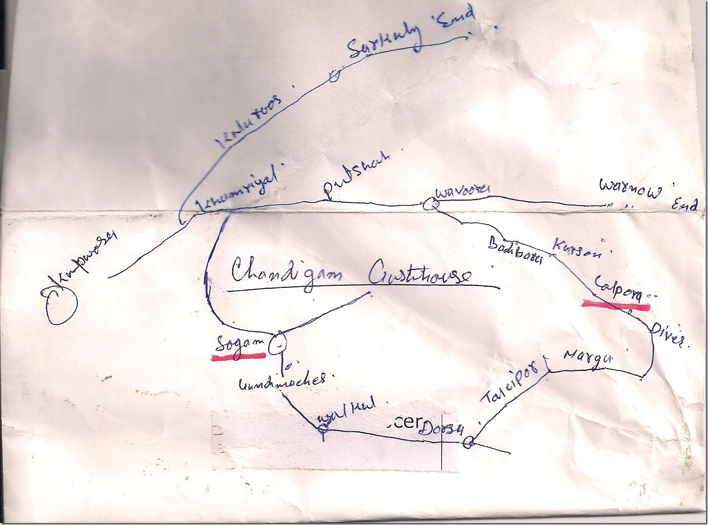
Lolab Map 001

Distance Chart of Lolab:

DSC_0708

Lolab Valley:

DSC_0709 DSC_0710 DSC_0712

The New JK Tourism GH in Lolab:

Big Lawn was favourite of my daughter:
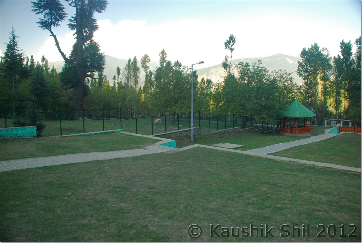
DSC_0716

Awesome setting of the GH:

DSC_0725

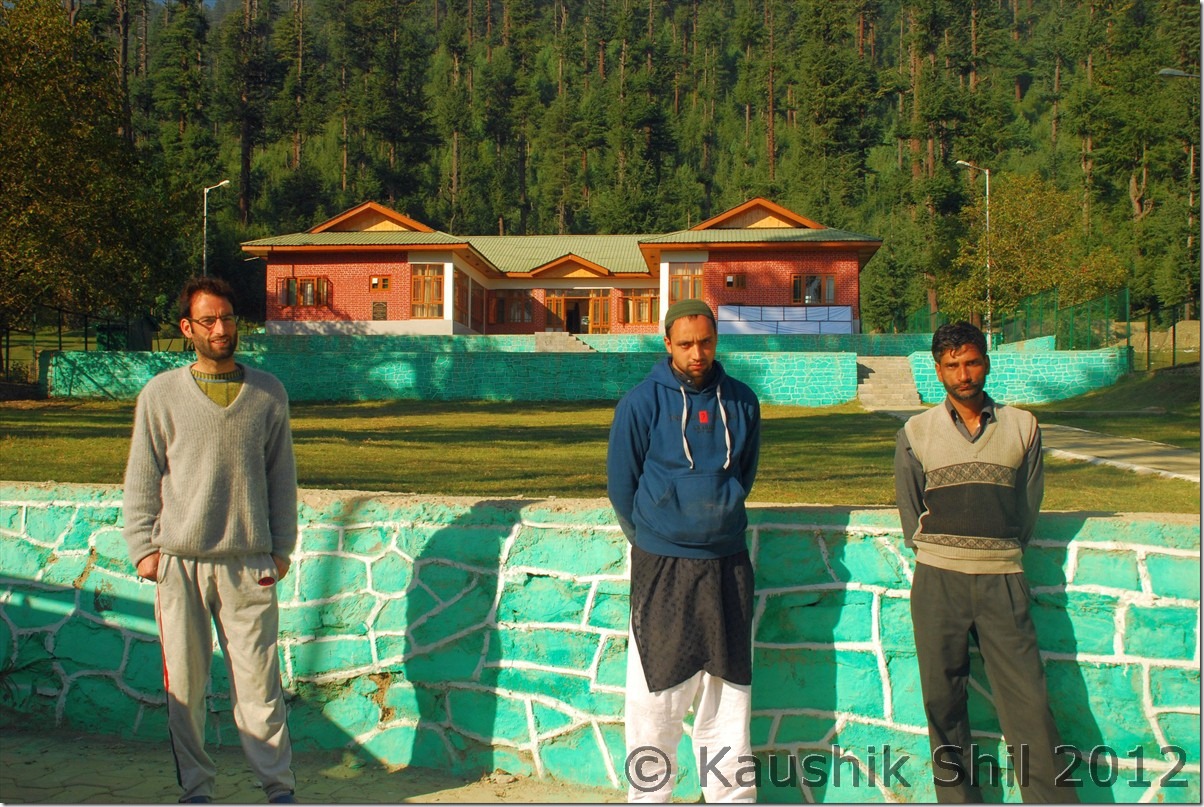
Umar, Ershad and Yaqub, the nice caretakers of Chandigam GH:
DSC_0728

Naya Chandigam:

DSC_0730 DSC_0731 DSC_0732

Lolab Valley:

DSC_0736 DSC_0738 DSC_0741 DSC_0742 DSC_0744

We planned to trace back to Kupwara and Sopore and then turned towards Bandipore via Watlab for our journey to Gurez. But locals confirmed the direct road between Lolab and Bandipore had already been built and awaited to be opened for civilians, it gone through the dense forested region and would be a very scenic route and one could reach Bandipora from Lolab in just 1.5 hours through the new route which now takes almost 4 hours. 10km before Sopore we found a short cut for Sopore Bandipora road through a place called Bumei and we saved almost 15km. We took a short break in Watlab for tea, the place was nice overlooking the Wular Lake, which was really in a sorry state, currently Govt has taken big projects to restore this lake and hope sometimes in future it would be great sight for visitors. We reached Bandipora after 100km of drive from Chandigam. The road became awfully bad after Bandipora and the major reason seem to be the construction of Kishanganga Dam and all the big dozers, trucks of NHPC had destroyed the road completely. It was full of dust in a dry day and during rain would surely turn into a nightmarish muddy state. This was the worst part road we covered during our whole journey. I would say as even in Warwan we got roads very bad but atleast air was clean there, we didn’t get this much of dust and pollution. 42 km of worst road would finally take you to Rajdhan Pass that separates Gurez Valley from Kashmir Valley. From this place you can see Nanga Parvat in a clear day, it was not that clear in afternoon, so we took some snaps and proceeded towards Gurez. The road condition in other side of Rajdhan pass was in much better shape. We reached Kanwalzan where the road had bifurcation, left was going to Bagtore, where we would be back soon but then we needed to take the right road towards Dawar. Here you would see how Kishanganga’s main channel was completely blocked now and the whole water was diverted through a tunnel inside the mountain, might be to get the height difference to generate hydel power. The work had completely stopped due to a stay order from high court and that seems to be the primary reason for putting so much restriction in permit process to stop outsider to enter Gurez as Govt is apprehensive of a bigger movement there against the dam project. We reached Dawar around evening when last ray of sun touching the mighty Habba Khatun peak. We gone to the GH and happy to got our room, thanks to Iliyas Saab (Dy. Director under whom Gurez Tourism comes) and Md. Lone, the nice caretaker of otherwise filled up GH. We called up a month ahead to both and ensured they would keep a room for us. Unfortunately there was no provision of food in the GH and people used to visit Sabbir’s hotel nearby for food, we were tired, so quickly had our dinner and retired for the day as next day we had plan to explore Gurez in details.

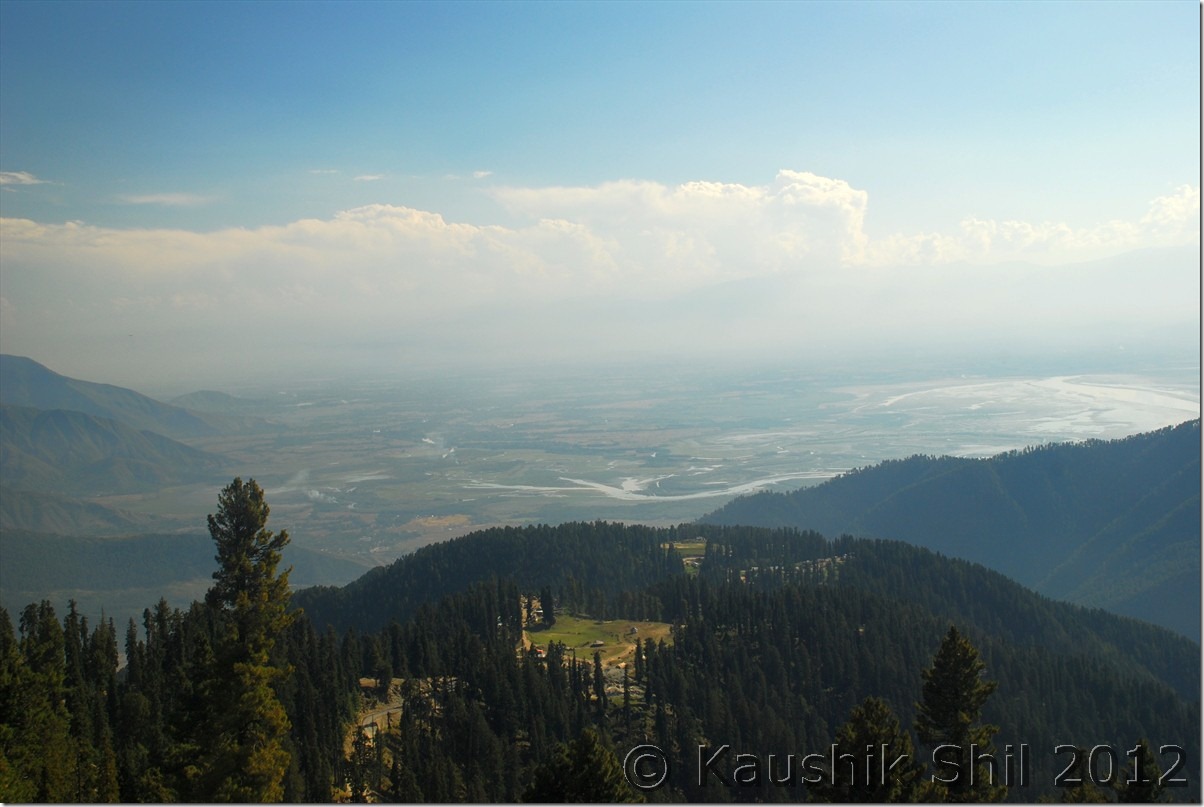
Kashmir Valley from Rajdhan Top – Ullar can be seen at right:
DSC_0746

Rajdhan Top:

DSC_0747 DSC_0748 DSC_0754 DSC_0755

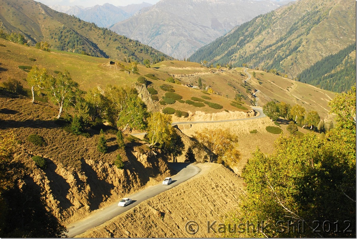
Winding Roads going down to Gurez Valley:
DSC_0758

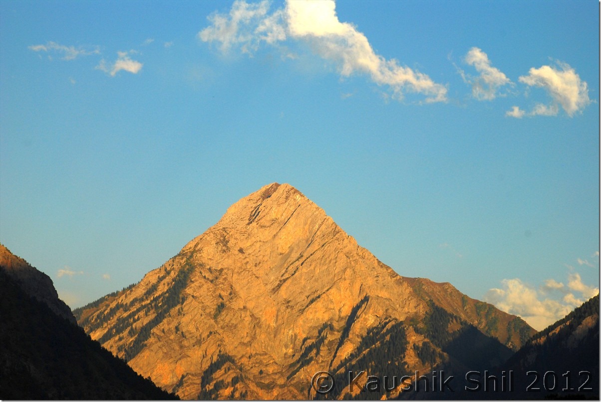
Habba Khatun in the last ray of evening sun:
DSC_0762

Previous: Unexplored Kashmir – Bangus Valley

Next: Unexplored Kashmir – Gurez Valley Dawar and Tulail
Unexplored Kashmir – Bangus Valley

28-Sep-2012

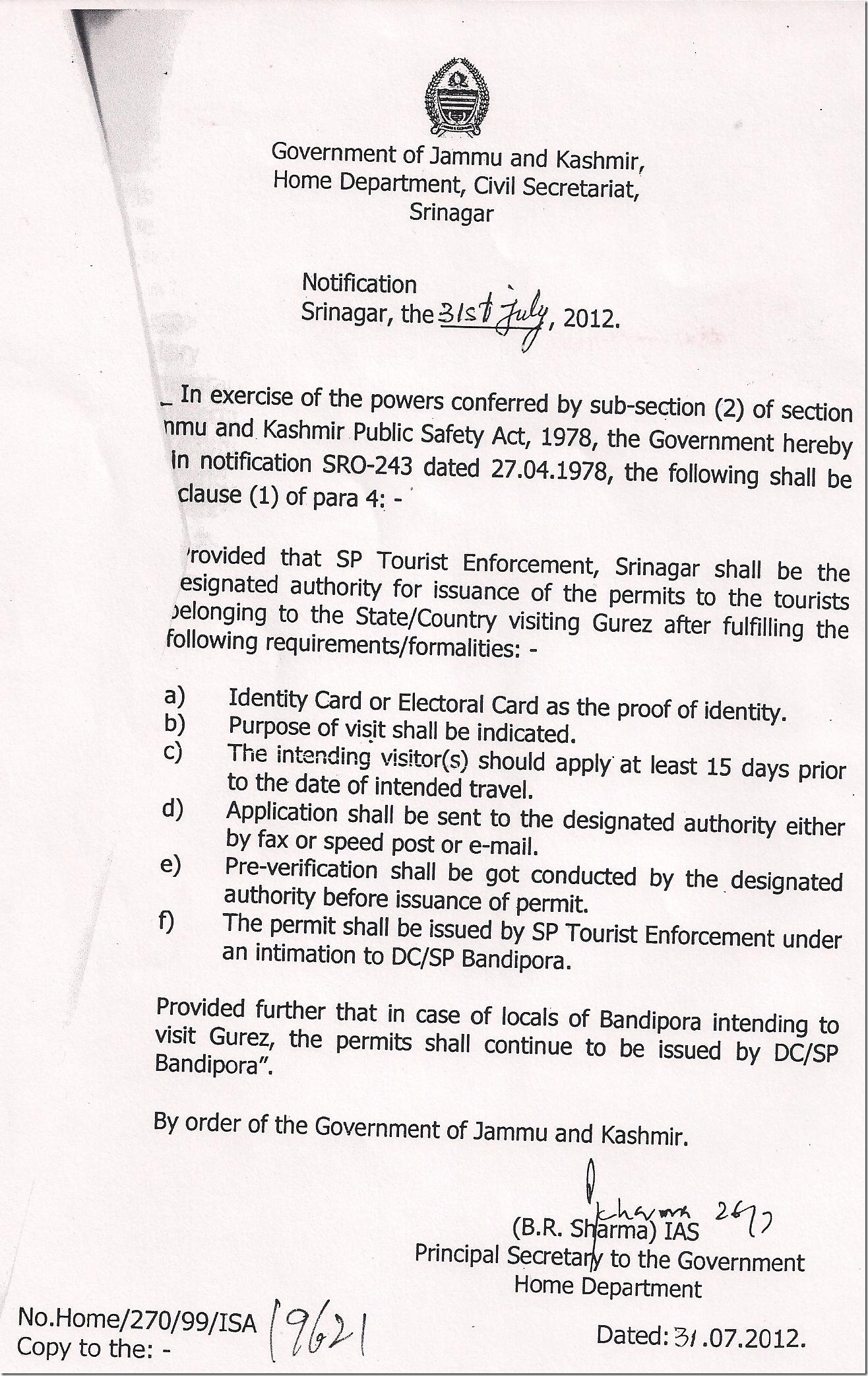
We started the bright day with bright hope, this was a very important day for us, 2 elusive permits one for Gurez and other for Bangus, we would be trying for and this day would decide how the rest of the trip would shape up. Had a quick breakfast in Aharbal Tourism GH, we started for Srinagar around 8 in the morning. The roads from Aharbal to Sophiyan was tremendously scenic within the dense forests and meadows going through the winding hilly roads. We crossed Sophiyan which is just 15km from Aharbal in no time and the town was still sleeping, we crossed it and saw the part of historic Mughal road just before touching Sophiyan. Further 21km nice drive around valley landscape took us to Pulwama another town of South Kashmir. We didn’t take any break as we intended to reach the SP Tourism Enforcement office at Srinagar by 10.00 in the morning, we were not sure how much time we had to spend there and was really not hopeful after our experience of loosing a complete day on the first day of the trip there. The moment we entered the Srinagar city area, traffic jam greeted us, which was a horrible experience this time whenever we touched Srinagar, it’s so congested even in leanest tourist season, I feel pity for those who would plan to travel Kashmir keeping their base in Srinagar during a high season. Apart from Dal lake, Srinagar has nothing much to offer like other so called touristy places Manali, Shimla, Gangtok etc. We finally reached Srinagar TRC (Tourist Reception Center) around 10.15 which was 30km from Pulwama and without any delay headed to SP Tourism Enforcement Office. The office staff easily recognized us and in a few minutes they came back saying the police verification hadn’t yet reached then. I was almost mentally prepared for that and we all three (including my wife and kid) wanted to meet SP in person. We were called soon and again SP tried to convince us why they couldn’t issue permit to us without the police verification. We tried to convince him politely that we didn’t leave any stone unturned from our side and did exactly what we as a tourist supposed to do starting from applying the permit from Kolkata a month before the trip. SP was worried and repeatedly telling us despite of home ministry order, if he issued the permit and later we faced any difficulties, he would be responsible and answerable. The arguments and deliberations going on for almost an hour. My wife and even kid started requesting him to issue the permit. He consulted with his subordinates in Kashmiri for almost 10 mins, keeping us in deep suspense and finally smiled and said, he would be issuing the permit to us but he told me to let all my friends know that this he won’t repeat again for anybody else in future. He advised us to take a photocopy of Govt notification (which I already put in first page of this report) and to share that with our friends and also suggested anyone willing to visit Gurez, to bring atleast a character certificate from Local Police station verifying address so that he could do something even if the police verification didn’t reach in time. I tried that even before my journey but local police station straight away declined to give any such letter / certificate citing us the technical reasons. So as of now Gurez permit is a big mess unless you have some good connection at higher level or you are lucky enough to get your police verification on time. Whatever it be my request would be to apply for it atleast a month in advance and then follow up constantly with local police and SP Tourism, Srinagar. First thing we did after getting the permit was to get 5 photocopies of that and it proved to be wise later on.

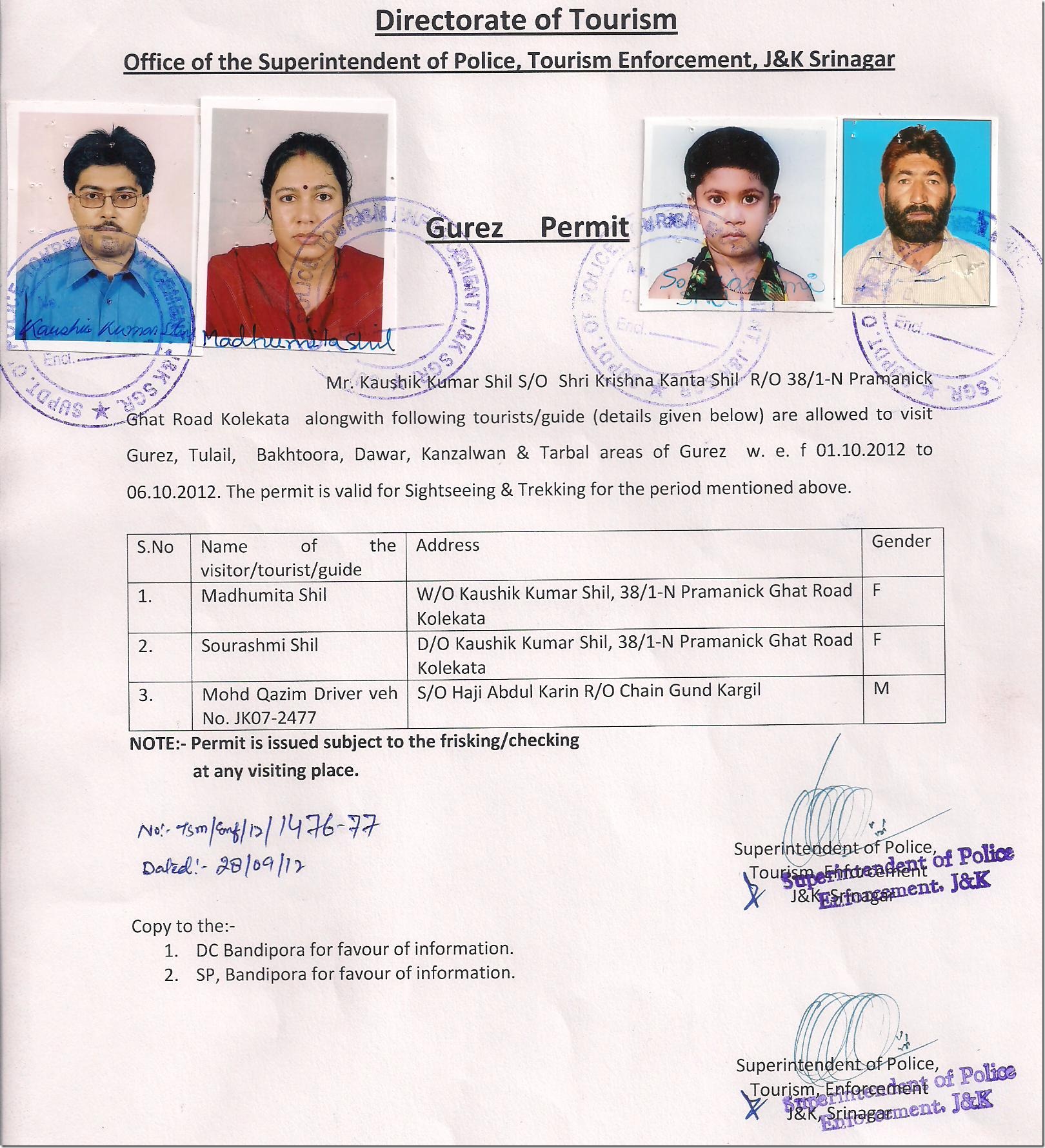
Here is the elusive Gurez Permit for us and see we required photograph and detail even for our driver Kazim, so it has to be well planned especially if you are planning to hire a car for Gurez.

Gurez Permits Issued

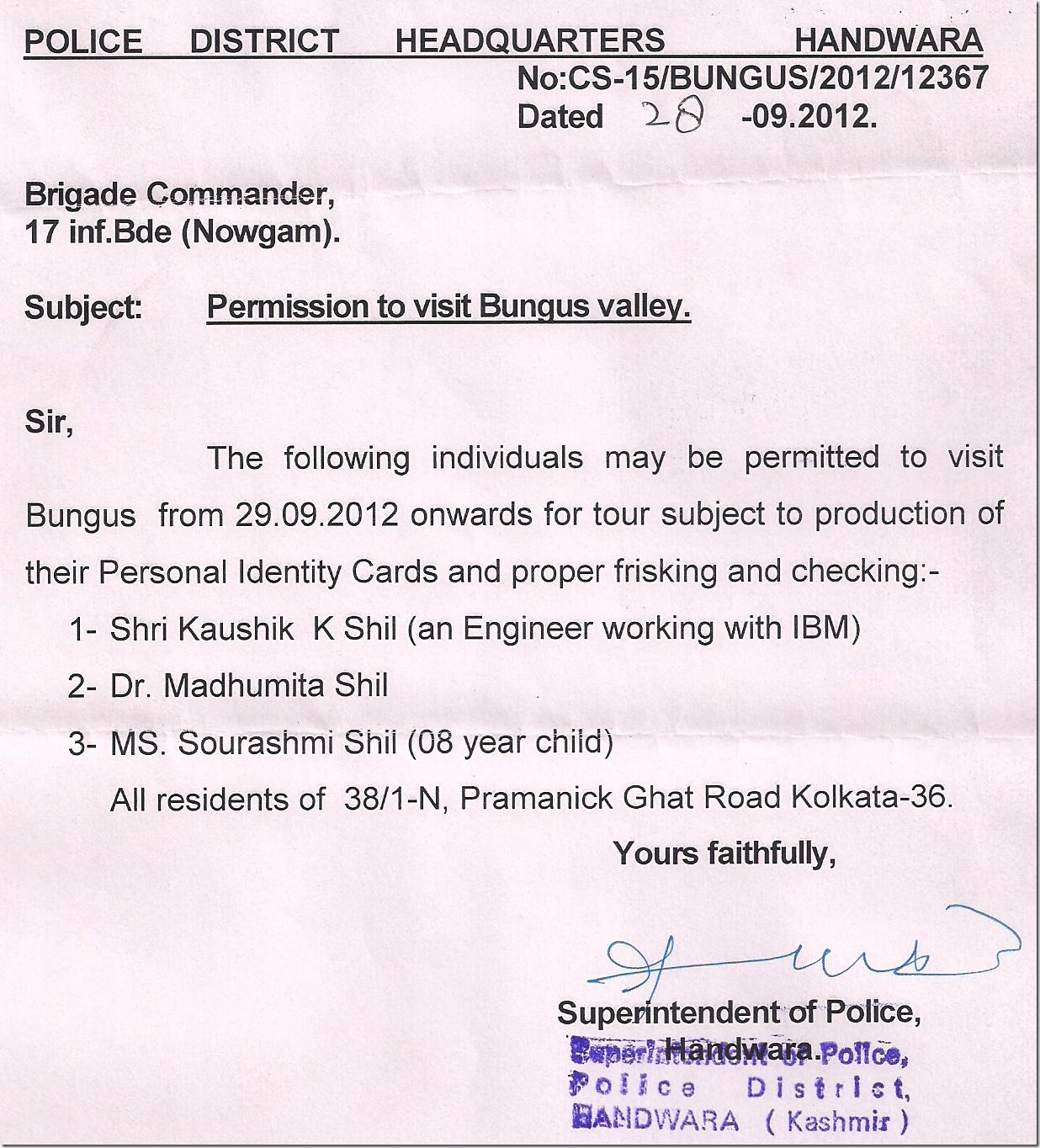
Once the Gurez Permit was received, we were very happy atleast we were sure by then to complete most of the trip we planned. Next was Bangus, another big hurdle and for this we had not much of information either. I spoke to SP, Handwara (Bangus comes under jurisdiction of SP Handwara) couple of times and he asked me to meet him in Handwara and clearly told things would be considered based on then situation. But unfortunately in Aharbal I was browsing net in my mobile and found an encounter was going on there between army and militants for last 3/4 days and honestly was not that hopeful about getting a permit for Bangus. We hit Srinagar – Sopore – Baramula – Uri – Muzaffarabad highway soon and it was pretty wide and nice highway but army was checking the vehicles in regular intervals. We drove for 45 km in that nice highway to reach Sopore which was almost half closed because people were busy in offering Friday Namaz. We shopped there for few necessary things and once again in few minutes got an invitation from the shopkeeper to have lunch at his house, amazing Kashmiri hospitality, haven’t found it anywhere within or outside India. He was requesting us but we were in a hurry to meet SP, Handwara and were about to try our best for Bangus Permit, so we politely turned down the offer but couldn’t get out of the place until we told him we would try our best to go to his place during our return journey. From Sopore, the straight road goes towards Baramula – Uri and further to Muzaffarabad and right turn would take you towards Handwara and Kupwara. We turned right and kept going on an excellent highway towards Handwara. It’s in Kulangam, 27 km from Sopore, the road again divides, the straight goes to Kupwara and 3 km detour towards left would take you to Handwara Town. Just before reaching Handwara main town, in left you would find SP Office, our first destination there. We parked the car outside, faced all the questions by security guards out of SP Office and finally I was allowed to go inside to meet SP. SP, Md. Aslam, was in his early 50 and a KPS Cadre officer was the best officer I met in the entire trip. He was browsing net through his Galaxy Note, when I met him, he was in all smile and informed me that presently an encounter was going on but still as we came from so far to visit the place, he wanted to make sure we could visit the place. It’s absolutely a different experience than what we faced during Gurez Permit process. I was taken into his office. I faxed my details to his office from Kolkata and I saw he made everything ready and the office bearer brought the permit for his signature in no time. He signed it and handed over to me and then called up SHO of Kalamabad PS under whose jurisdiction Bangus comes and instructed the Officer in Charge to do all kind of help we need during our stay in Reshwari. The Bangus Permit is a 2 stage process, SP, Handwara issue the permit from Civil administration side requesting 17th Infantry Brigade (Army in charge there) to allow us to proceed. Now it’s the brigade’s decision finally to let you in that heaven if they consider the situation then is stable based on the permit issued by SP, Handwara. Now Bangus has 2 entry points, one through Reshwari, called as Bada Bangus, and other is through wadarbala, known as Chota Bangus. There is no permit presently issued for Wadarbala route and permit through Reshwari is subject to clearance from SP Handwara and Army.

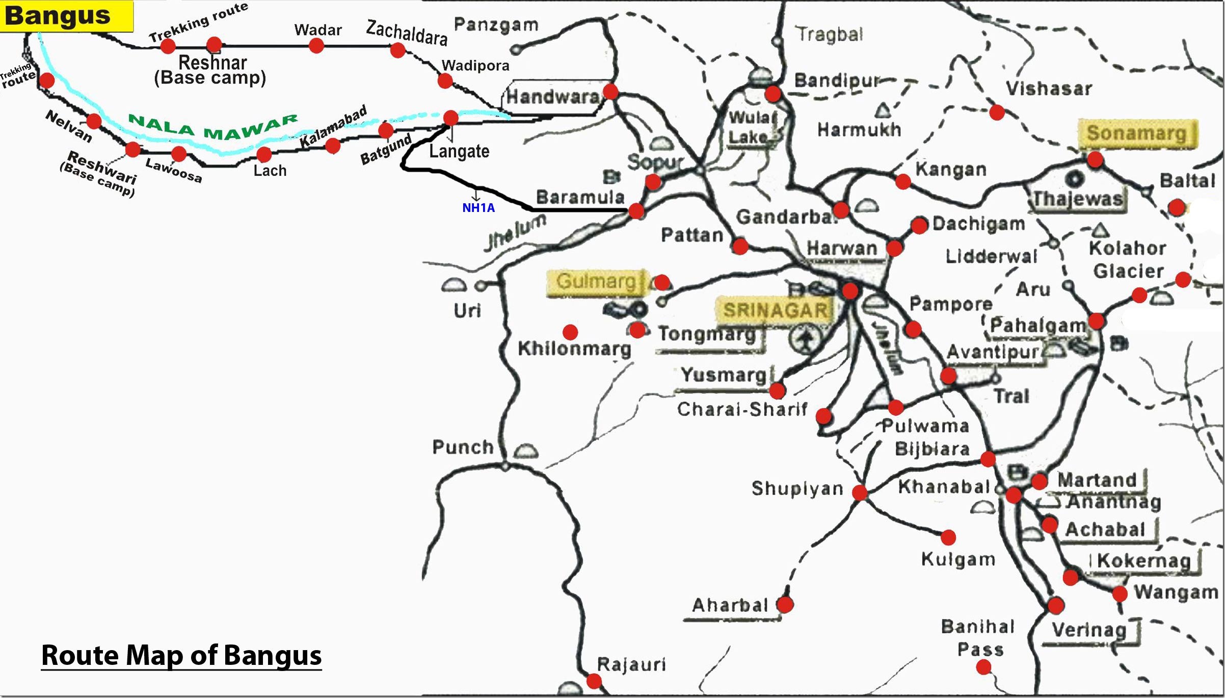
Map of Bangus:

mapfullBangus

This is the permit of Bangus we received from SP Handwara.

Bangus Permits Issued

The SP called up Army Brigadier on his own and spoke to him directly, requesting him personally to issue the permit to us. Their discussion lasted for 5 mins and after that SP told, army was not so keen to issue permit as it was not safe and he advised us not to deviate from the defined trek route at any cost. He asked us to meet the army in TCP Nawgam where the 17th Infantry brigade was located for further permission. With lots of hope in our mind, we proceeded towards TCP Nawgam which just couple of km before our final stop for the day, Reshwari. We were stopped at the gate of TCP, at entrance itself they started laughing once they heard a family wanted to visit Bangus with kid. They said in 2012, not a single person was allowed there and there was absolutely no chance of going there. We showed him the permit issued by SP and requested to speak to Brigadier. Then they said, getting Brigadier at that moment was not possible instead he advised me to speak to the head of 1 Naga Regiment who controls the Bangus Permit. He spoke to the officer and apprised him of detailed situation and I understood officer from other side asking this man to dissuade us. Anyway once they understood we were really serious about this, he asked my wife and kid to sit there in his office and asked me to visit the officer directly escorted by one army person. In a short while I met the officer, Vidyanand Medhkar, a young man in his mid twenties from Pune. He is very polite yet firm on his decision that under current circumstances he could not permit us to proceed beyond Reshwari. He said he won’t even allow us to Reshwari unless it was late in afternoon and we planned there to stay. I could hear in between the radio / wireless messages he was responding and it was clear to me a combing operation was in progress in the region and they hunted 2 out of 12 possible militants already there. I couldn’t disagree to his concern on our security and he was telling repeatedly under present situation if anything happens to civilians it always have a deep impact on army, so he was helpless and so were we. Then he finally told me he had to consult to his senior officers located at Baramula but he said he was 99% sure we won’t get permission. I asked him about the rest 1% chance and we need some basic preparation like getting mules / horses in the morning if we were lucky to get the permit. He shared his cell number with me and asked me to call at 9 in the evening. I was in a mixed mood, the Bangus was so near (Another 15km) yet so far and the situation was not looking promising at all. I thanked the officer for all his efforts and had even tea in his office before I left for final stretch of journey towards Reshwari. We reached there finally around 6.00 in the evening when day light was fading and it was a fabulous place to stay. The hills all around, the dense forests, high trees and mawar river flowing just in the backyard made it an awesome place. The JK Tourism bunglow here was completely made of wood and quite old, it was the only Guest House in valley what according to caretaker was not torched in those violent days. We were quite tired and the namkeen chay prepared by caretaker Bashir was something to enjoy after a long and difficult day. I called up Kalamabad Police Station as SP asked me to do, and the Officer in Charge Mr. Mehboob was very co-operative (may be because of SP’s instruction) and he told he would arrange everything for me even the army permission and would send 2 armed police to escort me. I told him about my discussion with army but he was confident and asked me to take rest and he would take care of rest in morning. I called up around 9.00 in evening the army officer and he said he still couldn’t connect to his senior officer and would be back to me next morning before 9.00. I had nothing to do but to leave the whole thing now on our fate before we retired for the day.

29-Sep-2012:

I couldn’t sleep in the night because of the tension regarding permit, gone up early in the morning and had a cup of tea and Bashir told me to have a visit in the Reshwari Village, he said there are 9 villages very close by and thus there name Nawgam came. It was an amazing morning the first ray of sun was making a magic in the valley floor. Here are some fabulous moments in the morning at Reshwari:

Morning at Reshwari:

DSC_0472

Mawar River:

DSC_0474 DSC_0475

Reshwari Village:

DSC_0482

Innocent Faces:

DSC_0488 DSC_0489

The Reshwari GH beside Mawar River – Awesome location to stay few days:

DSC_0493

I came back around 8.00am and was really anxious over my discussion with army officer in next one hour. Once I returned to the Guest House, I found Officer in Charge of Kalamabad PS (Mr. Mehboob) was already present there with 2 armed police persons. He confidently asked me to get prepared and start as soon as possible, he also had arranged the horses/ mules for us. He said he spoke to army already and we shouldn’t have any problem to proceed till Bangus. Now I was in a fix, should I call the army officer at 9.00 to get his confirmation or should I rely on Mehboob and proceed to next army camp and try my luck there directly. Somehow I decided to follow Mehboob and start for Bangus. From Reshwari the road is motorable road up to Neelvan which is 4km, where from it is 12km of trek route via lush green forests to Bada Bangus. We left the car at Neelvan where we found 2 new JK Tourism huts were built, though we didn’t understand under present situation how tourists could come and stay there. The ponywallas came with 4 mules and 1 horse, my daughter got the horse, we and the two security men took the mules. Now here at Neelvan army asked to show our identity and asked where we were going, hearing Bangus, they asked about the permit and we showed them the permit issued by SP and told them that we informed the brigade at Nawgam too. They spoke in their wireless set for few mins with base camp, keeping us waiting there for few minutes in the middle of few nervous moments and ultimately smiled and gave us a go ahead. We still couldn’t believe we have got the permission for Bangus but we didn’t wait for a second there and started our journey on mule. Soon we left the main road and a very narrow road was taking us route through the dense coniferous forests. It was really difficult to find your ways inside the forest unless you knew it really well. We realized why army was not keen to give us permission, you couldn’t really see someone even in a distance of 5 mtrs from you, so dense the forest was.

Neelvan where the new JK Tourism huts were built: Motorable Roads end here:

DSC_0501

That’s the start of Trek for Bangus Valley:

DSC_0612

DSC_0500

Ride continues:

DSC_0503 DSC_0525

We slowly entered in the dense forest:

DSC_0529 DSC_0590 DSC_0599

Soon we reached a lovely meadows and we took a small break there. This gave us the first impression of what might wait for us at Bangus.

DSC_0601

DSC_0516

There were few small stream crossings across the dense forest and finally we reached at the bottom of a very steep ascent of almost 60 degree, this was a difficult area to cross as the region had lots of small gravels and that made it even more difficult to cross.

The ascent was difficult:

DSC_0589

Somehow we continued and after almost 1 hour of steep ascent we suddenly got exposed to the Bangus Valley, it’s a lush green meadow, quite big in size and the horses, sheep were grazing there, even we could spot the wild flowers across the valley, made it even more beautiful. The feeling was difficult to express in words, starting from hearing about this place, planning all the way, facing so much difficulties in getting permit, all efforts were making so much sense then. Instead of wasting any more time with words, let’s have the visual treat.

DSC_0534 DSC_0538 DSC_0541 DSC_0547 DSC_0549 DSC_0575

Our armed security guard during the trek:

DSC_0577

Lovely wild flowers in Meadow: (You would find 50 times in April / May as the locals told)

DSC_0574

Happy family click at Bangus:

DSC_0583

We couldn’t even understand we spent more than 2 hours in that heaven until the ponywalla reminded us that we required another 3 hours to be back till Neelvan and the road was not safe after evening, leave alone the militants, the forest was full of bears and leopards and the villages almost every other day used to receive their attacks. The journey was one of the most memorable journey for us as we never ascent a 60 degree slope before, neither we took any journey accompanied by 2 security persons armed with AK47, nor we had to haggle so much for getting a permit and finally after all efforts we never felt so satisfied at the end of it. It was like a dream came true when we came back to our GH at Reshwari and was in a dream until my phone rang and the army officer in other end informed me with due apology that they couldn’t grant our Bangus permit. I was so shocked momentarily that really couldn’t react, just said ok and thanked him and hung up the phone. Still it is not clear to me how I reached there, whether they didn’t stop me because of SP’s personal request to Brigadier but didn’t want to issue an official permit or it was just sheer luck that took me to Bangus. Whatever it might be, I am thankful to God and to Aslam Sir for being able to visit this wonderful place.

Next day we were supposed to move to Chandigam GH at Lolab but Sabbir saab, the tourist officer called me in late evening to inform that as suddenly Lolab festival was scheduled and there were a lot of VIP movements there, he couldn’t host me at Chandigam on next day and he arranged my accommodation at Chowkibal PWD GH for next day, alternatively I could stay at Reshwari for one more day and on 1st October I could reach Chandigam. We decided to leave for Chowkibal and planned to visit Sadhna Top on next day but what finally happened was completely unexpected.

Previous: Unexplored Kashmir – Kokernag, Verinag, Aharbal

Next: Unexplored Kashmir – Karnah Valley, Teetwal, Lolab Valley, Entering into Gurez Valley

Unexplored Kashmir – Kokernag, Verinag, Aharbal

26-Sep-2012:

We woke up early and soaked ourselves in beauty of Warwan valley for one last time, army once again was ready with their breakfast for us (this is really something new I have experienced where Army was so kind and helpful). Again the day would be long, so wanted to start early, same winding road keeping the valley and Dariya i Chenab beside us, was slowly taking us to Margan Top. 2 days back when we came, it was almost evening, today morning the same road in bright sunlight was looking awesome!! Sheppard taking the herds of sheep, narrow winding road turning upwards, dense forest in between, unnamed waterfalls flowing across the gravel road, made the whole surrounding mystic. After 2 hours of drive, we finally reached the Margan Top and just before the final turn of the pass, in our left Kazim first spotted the Nan-Kun Peak at a distance. The pyramid shape is unmistakable. In spite of few clouds we could enjoy the full view of the peak from back side of it, last year we have seen these duos from other side at Zanskar, this time it was great view from Margan Top. We took usual stop at top, had some pictures but still had to go a long way, so started our downwards journey from Margan Top. I would someday be back to explore those python infested glacial lakes in the top of Margan Pass .

Nan-Kun at a Distance:

DSC_0303

Nan-Kun Up-close:

DSC_0304

At Margan Top:

DSC_0306 DSC_0311 DSC_0314

After winding down for 24 km, we came back to same army post, they asked us how was the visit, we were really overwhelmed by the beauty of Warwan, expressed that and they asked where we were heading next, when heard Handwara and Kupwara, their smile disappeared, they suddenly became serious and advised us to take care as those are really disturbed part of valley according to them. Keeping in mind the uncertainties and more so on permit, we kept going and soon reached the black topped road after more than 48 hours. We crossed Valioo and reached Kokernag, tried to have a quick look at the garden, it was good but really crowded even on a weekday afternoon. We took half an hour break there, sat in the corner of the garden, were enjoying the splendid garden and also the people who were having fun times there.

Kokernag:

DSC_0319 DSC_0331 DSC_0332 DSC_0338 DSC_0340

The journey resumed and first thing Kazim did was taking a car wash and it was really necessary after the 2 days long Warwan affairs , our next destination was Verinag and as we understood, we can take a short cut in left without going all the way back to Anantnag. The left turn took us in a nice narrow valley simply full of apple orchards, it was just a village road (kind of a link road it seems) but very scenic, we reached Verinag around 5 in afternoon but the garden, the stream, flowers and mostly its location just in the middle of hills would make it feel special, indeed this is the best garden so far we had seen in Kashmir Valley.

Source: Wikipedia – Verinag spring which is in Verinag town issues from a high scarp of a mountain spur, and is considered the source of the river Jhelum. It is situated at the bottom of a hill covered by pine trees and evergreen plants. The Mughal Emperor Jahangir constructed an octagonal tank of sculptured stones around the spring for which carvers for were brought from Iran. A garden was also built by Jahangir next to this natural spring which is of pre-Islamic religious significance. The construction date of the octagonal tank and the garden is 1029 Hijri or 1620 A.D. is duly inscribed on a stone slab built into the southern wall of the spring. The water is collected in a pool surrounded by arched recesses, and then flows down a 300-yard canal to the Bihat river. Jahangir wished to be buried at Verinag gardens, but his wife, Nur Jahan, disobeyed his wishes. Today nothing remains of the pavilions which once decorated the area. According to a legend, goddess Vitasta(Jhelum) wanted to take rise from this place, but it happened that when she came, Shiva was staying here, whereupon she had to go back and then she took her rise from Veravurthur, a spring about a mile to the north-west of this place. Virah in Sanskrit means to ‘go back’ and ‘nag’ means a water spring and, as Vitasta had to go back from this place, it came to be called Virahnag or “Vernag”.

Here are few snaps on what we have experienced there in Verinag.

Octagonal Tank at Verinag:

DSC_0347

Verinag Garden:

DSC_0354 DSC_0356 DSC_0358 DSC_0359 DSC_0363 DSC_0364

When we finally left Verinag, it was already 6.00pm, From Verinag one road goes left straight towards Quazigund but somehow Kazim knew taking that route would need tolls to be paid, he somehow managed to get another road which would take us up at Quazigund but just after the toll plaza. So he took that route, we wasted some more time and finally hit the Jammu Srinagar highway and the wide road was really a break after the broken roads of Warwan. At Wanpu we left the NH and turn left towards Sophiyan / Kulgam. It was another 13 km till we reached Kulgam and then 30 odd km of night drive took us to Aharbal. We initially could not locate the Tourism GH as it was one km further into the forested road but Shaukat Saab, caretaker of Aharbal (again his number was provided me by Amit) was constantly in touch with us and guided us to the guest house over phone and we were greeted with warm welcome there by the GH Staff, they were all very good and courteous and the GH was one of the best I have seen in JK tourism in terms of location and staff. We were the only guest that night and got the full attention. Once again I was terribly missing my camera stand and the full moon night outside made a magical charm on the whole ambience. Suddenly from the remoteness of Warwan to the comfort of Aharbal with electricity, geyser, hot water, friendly staff yet quite remote and pure blissful ambience was a great transformation for us. During dinner we had the bad news broken as because of President’s visit, Huryiat Conference had called for 24 hours valley strike on next day. Next day 27th Sep, we were supposed to be at Dudhpathri, now after discussing with locals and considering the fact we had to go through few potentially disturbed places like Sophiyan and Pulwama, we were forced to change our plan. Called up Khan Saab, CEO of Dudhpathri Development Authority and he also advised us not to make any movement, Aharbal guys were more than happy to host us for another day and we took it as blessings in disguise, as we needed a break too after hectic journey of Warwan and the place Aharbal is too tempting to stay for another day.
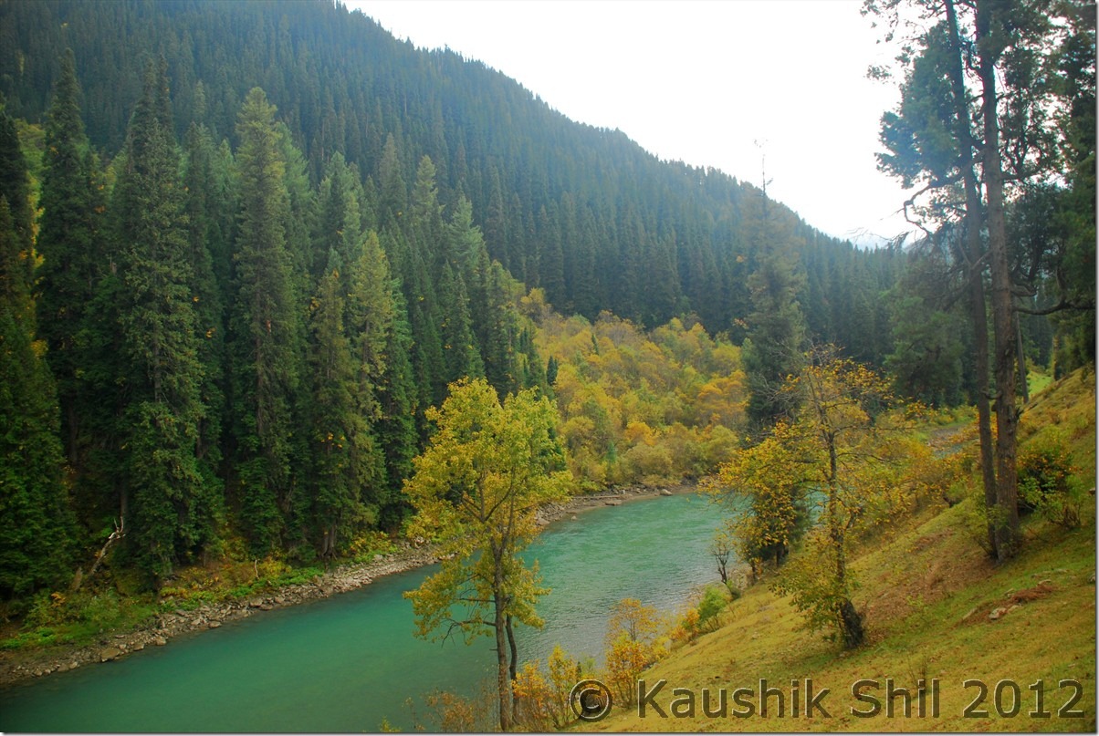
27-Sep-2012

This is absolutely a day of rest, very unlikely and unusual for our kind of trip, where we visited just the Aharbal falls a km away from GH and relaxed the whole day in the GH. As it was a strike day, many local families came to visit the place, I got introduced to a lady who was a teacher of local school and we had a long discussion on the current situation in Kashmir. She mentioned she didn’t think Indian Govt or especially Indian Army treat them well, she said still to visit her school from her home a barely 5 km of journey, almost every other day army challenged her identity and asked her to show her face removing the veil and that too in multiple locations. I am not getting into an argument how far that’s required considering current situation of Kashmir but yes it’s really irritating if you have show your proof of identity 5 times a day and if you somehow forget to take your I-Card, you might end up loosing a working day, may be it’s not a comfortable situation to live in there. She explained sometimes in disturbed days, they had to give shelters to militants as those guys were armed and simply threatened to harm the kids if they didn’t listen but next day army would come and would harass them in a bigger way without considering the fact that you really couldn’t stand against a gun. But one thing for sure they have understood the futility of these so called armed struggle that perished their one whole generation in last 25 years, every common people now wants peace except a few with some other motives.

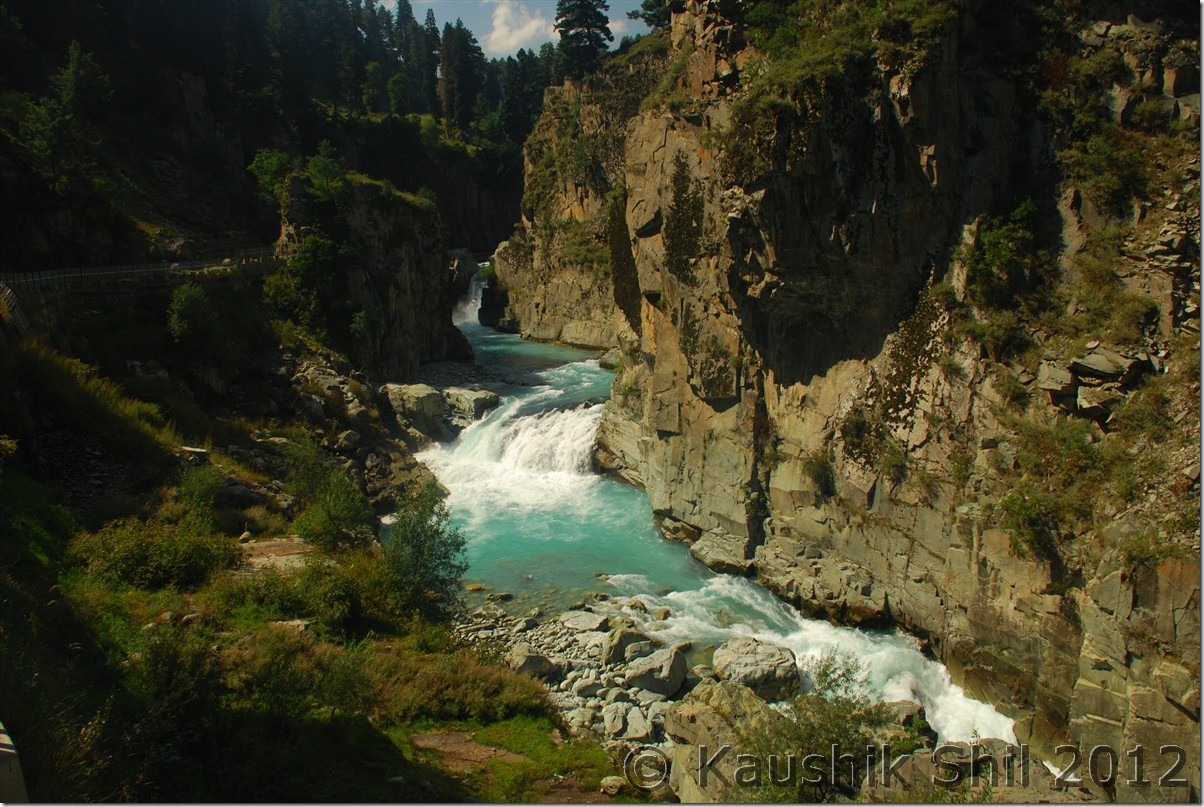
Going back to nature, we gone to Aharbal falls, pretty close to the GH and though the waterfall is only 20/25 ft height, the volume of water and the narrow gorge would keep a lasting impression in your mind, yes Aharbal should be in a must visit place if you visit the valley. The deep blue water gushing across the narrow stiff cliffs of rock was a view to enjoy. Rest of the times we spent in the sprawling lawns of the Guest house, my kid enjoyed most running there. I would be back at this place sometimes in future for the famous trek to Kausarnag. I was started feeling nervous a bit as tomorrow would be a very big day, first we have to meet SP, Tourism at Srinagar for Gurez Permit and then from SP Handwara we have to collect the Bangus Permit before we can stay the night at Reshwari. The situation was more complex as we have no spare day left as we lost a day due to strike here at Aharbal.
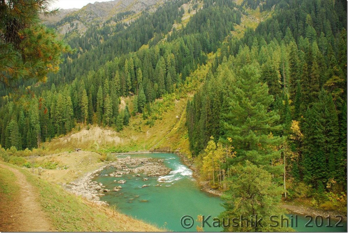
Awesome JK Tourism GH at Aharbal:

DSC_0369

Aharbal Falls:

DSC_0384 DSC_0390

The river gushing through the deep gorge:

DSC_0409

Relaxed evening at Aharbal before a tensed day ahead:

DSC_0448

Previous: Unexplored Kashmir – Martand Sun Temple, Achabal Garden, Warwan Valley

Next: Unexplored Kashmir – Bangus Valley

Unexplored Kashmir – Martand Sun Temple, Achabal Garden, Warwan Valley

24-Sep-2012

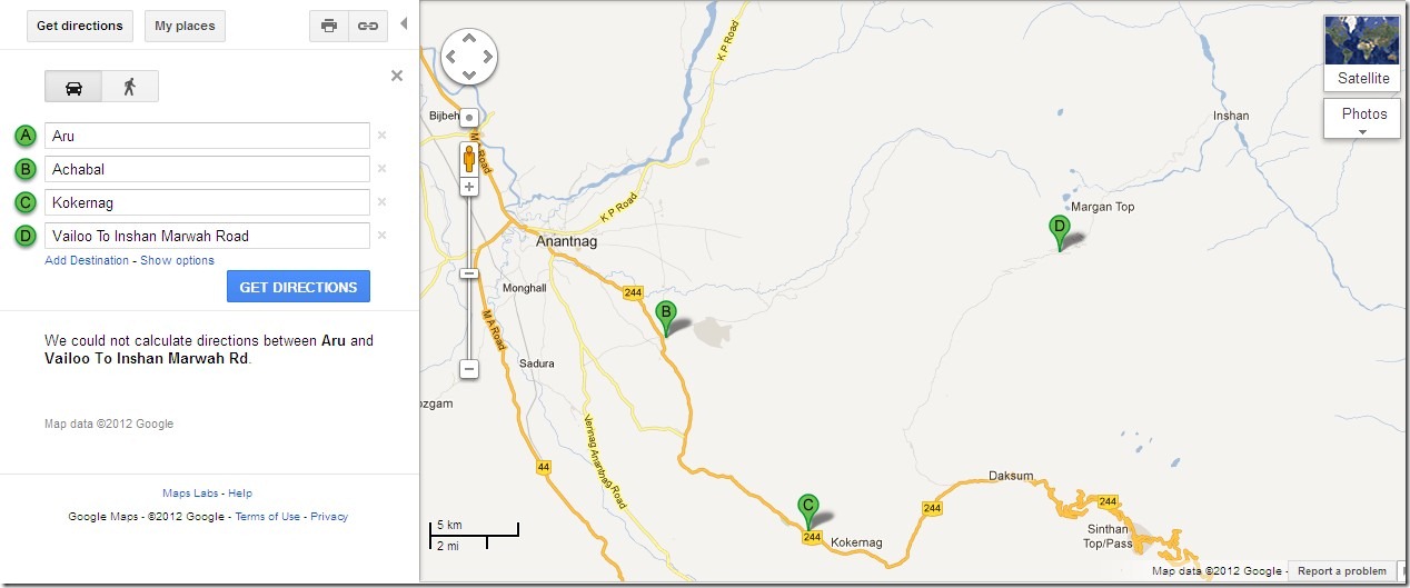
This is going to be an exciting day as we move towards Warwan Valley. It was planned to start from Aru as early as possible and proceed to Martand Sun Temple and Achabal and from their moving to Kokernag and subsequently towards Warwan via Margan Top. A Google map is attached for better understanding but it might not be showing it very accurately.
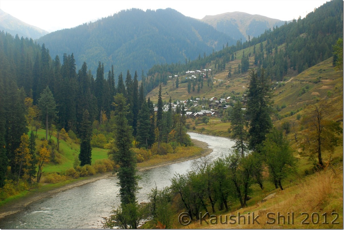
Kokernag - Valioo - Margan - Inshan

We knew it would be a long day and so started early. Basheer, the guy from JKTDC Aru accompanied us as he was going home little beyond Pahelgam. The same guy whom I didn’t like much in last 2 days while staying at JKTDC Aru, became a different man all together and while dropping him off, he won’t let us go without having a cup of tea at his place, first touch of Kashmiri warmth and I was thinking how difficult is to make judgment on the people. Basheer’s house is a small one but still under construction, he took us to his nicely decorated guest room and offered us some snacks, cakes, akhrote and of course the promised chay. We requested for Namkeen chay and that’s what he served us. We didn’t understand how almost 45 minutes have been passed chatting with his family but ambience became heavy as he unfolded how he lost his father, brothers and almost all of his family due to the 25 year long militancy. This pensive mood was felt across the valley, you would find almost every family has lost someone or other due to these violent 25 years and they now a days want simply a normal life. Let’s not get into the reason why it happened but reality is it happened and changed their lives for ever, it almost taken away a generation from them and it would need couple of more generations to heal the wounds. We left Bashir’s place and soon after taking a left from main road towards Ananthnag and moved towards Martand Sun Temple.

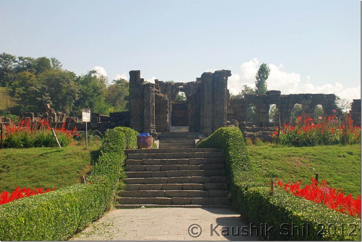
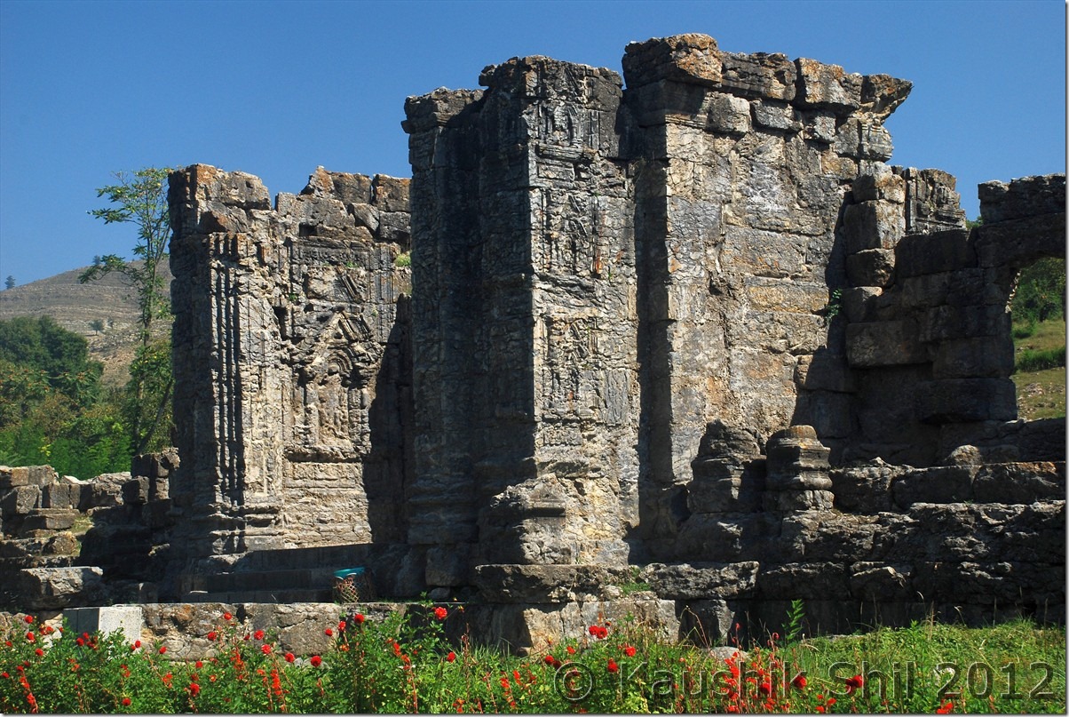
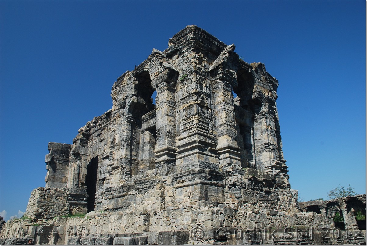
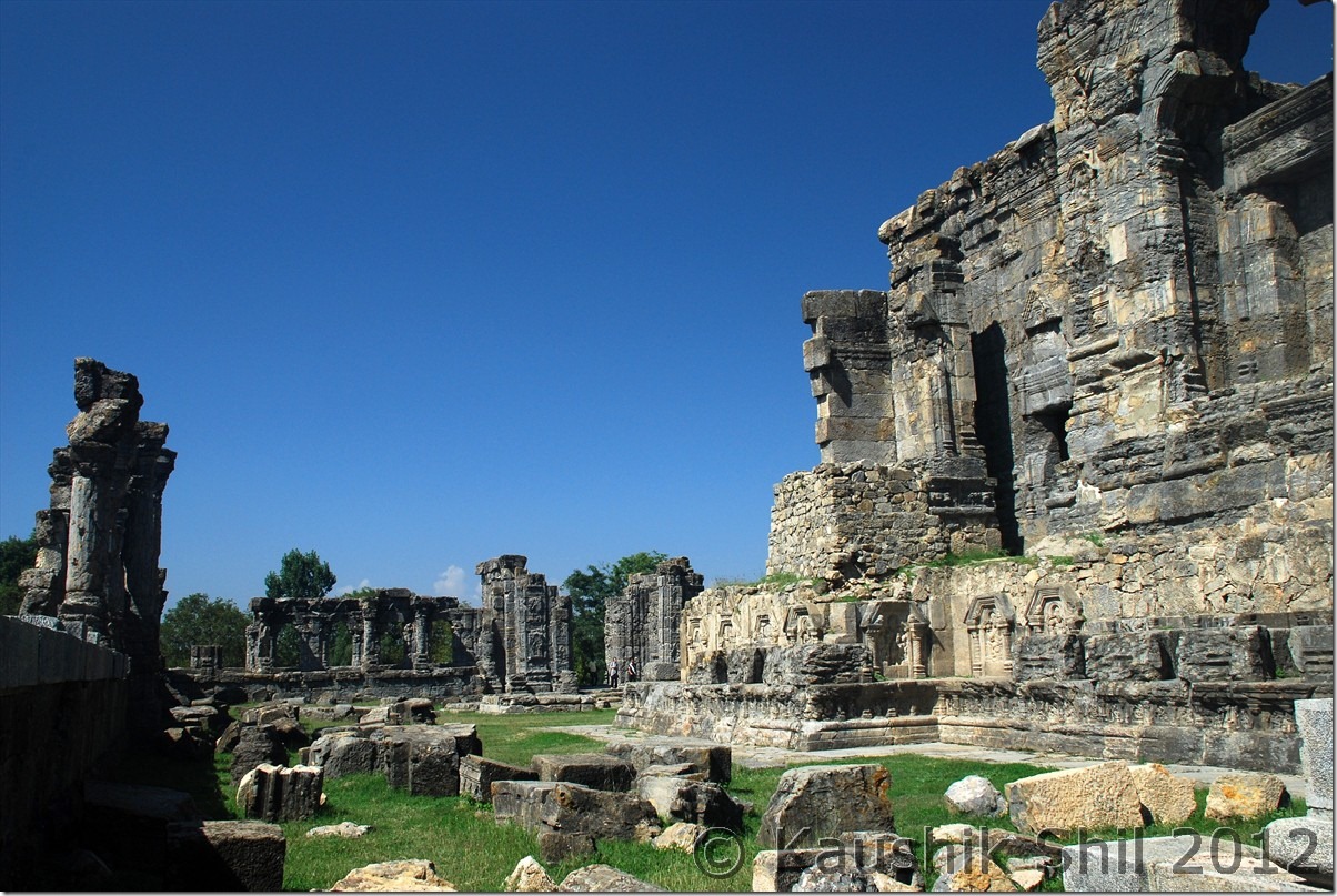
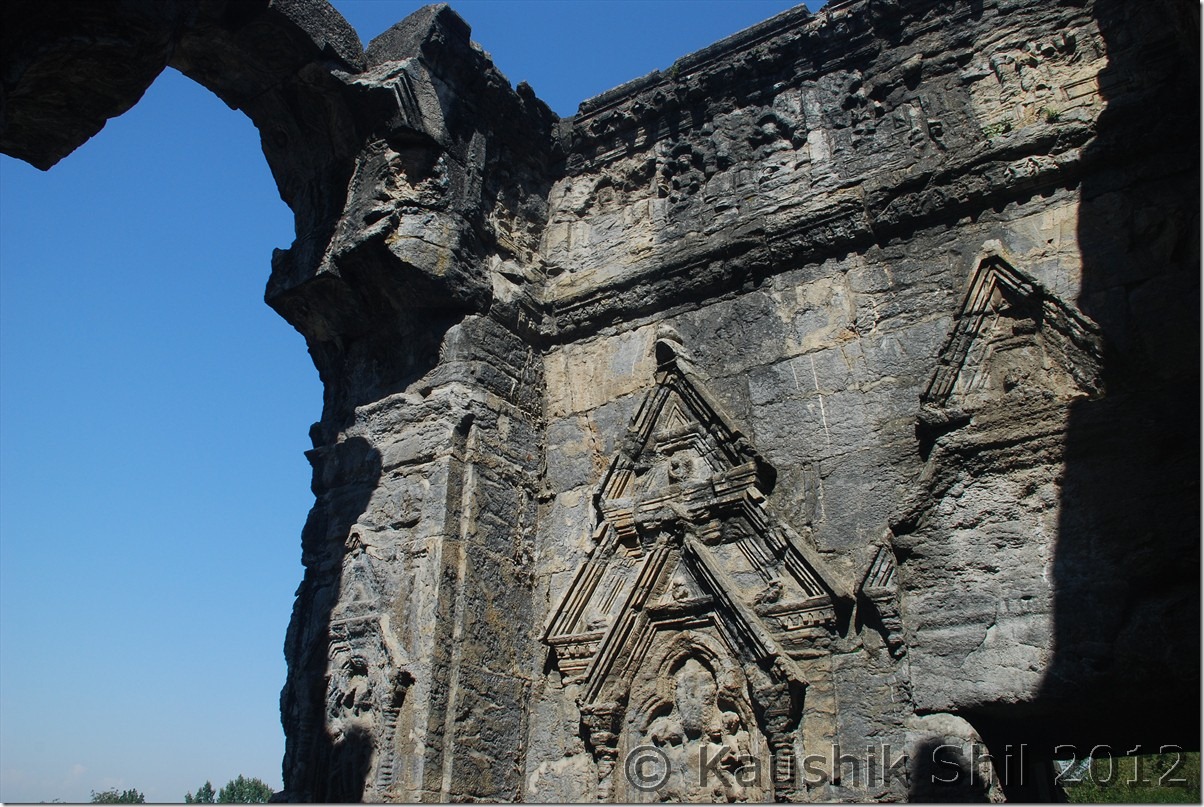
Martand Sun Temple:
It’s more than 1300 years old structure and the ruins would still impress you. Martand is another name of Sun God in Sanskrit. ASI, renovated the whole places and built a nice garden and one shouldn’t miss the place if you go towards Pahelgam.

Source: Wikipedia
History:

The Martand Sun Temple was built by King of Karkota Dynasty – Lalitaditya Muktapida in 8th century AD. It is said to have been built during 725-756 AD. The foundation of the temple is said to have been around 370-500 AD., and also some attributed the construction of the temple began with Ranaditya.
The temple was completely destroyed by Sikandar Butshikan in early 15th century. It took one year for Sikander Butshikan to fully damage and destroy this Martand temple.
Architecture and style
The temple was built on top of a plateau from where one can view whole of Kashmir Valley. From the ruins and archeological findings, one can say it was an excellent specimen of Kashmir style of architecture, which had blended the Gandharan, Gupta, Chinese, Roman, Syrian-Byzantine and Greek forms of architecture. This beautiful Martand temple has a colonnaded courtyard, with the shrine in its center, which is 220 feet long and 142 feet broad. It was surrounded by 84 small shrines.

Martand Sun Temple:

DSC_0120 DSC_0121 DSC_0127 DSC_0129 DSC_0135

Achabal Gardens:
We spent some 30 minutes and enjoyed the beauty and architecture before moving towards Achabal Garden. I didn’t find it that impressive compared to Kokernag or Verinag but may be because I was there in wrong season, I heard these gardens look awesome in spring season with lots of flowers.

Source: Wikipedia
It was built about 1620 A.D. by Mughal Empire Emperor Jahangir’s wife, Nur Jahan, called the “greatest garden lovers of them all.” The garden was rebuilt on smaller scale by Gulab Singh and is now a public garden. A main feature of the garden is a waterfall that enters into a pool of water.

Achabal Gardens:

DSC_0140 DSC_0141

Warwan Valley
It was almost 12 noon when we left Achabal gardens and realized by then we were running late, considering we have to cross Margan Top and drive 48 km of very bad to worse roads across the Pass to reach Warwan Valley which was still 100 odd km away. So we skipped lunch and skipped Kokernag garden too, keeping it for return leg started our drive towards Warwan Valley. Kokernag is located on NH1D which connects Jammu to Kashmir Valley via the alternate route through Kishtwar and Simthan Pass. We drove for another 12 km on NH1D which is an excellent road through Vailoo before taking a left turn towards Margan Pass via Mattigaoran. The landscape was beautiful with wide valley colorful with gold and green encircled by mountain ranges. The road turned ok from excellent as we left NH1D and subsequently started turning bad and tar road completely vanished when we reached Mattigaoran after another 15 km from where we left NH1D. From here onwards, roads are only having loose gravels, boulders, water crossing and I could easily understand how bad it could be during monsoon when Amit attempted this road. Kazim, being an expert driver, was also little tensed and we could see the ascent and could count up to 15 loops on the top. It’s a long 24 km arduous climb towards pass that would start just after an army check post where your car details would be entered. The road gets worst around 6 km away from top and we had to literally clear the boulders from road to save the low GC Innova from underbelly hitting. It’s around 4.00pm we finally reached the top and frantically trying to locate Nun-Kun peak which we heard could be seen from top, but it was cloudy and even some light snowing started in the other side of the pass, we didn’t wait much on the top but the vast landscape with all snow peaks around made it surreal. We later heard from army, there are three extremely beautiful alpine lakes those could be trekked within an hour from M-Top but all of them cautioned us not to go without a group as they have encountered huge Indian Rock Pythons in that areas. Not sure how much truth was there but locals said there were a few incidents of people got vanished while trekking in that region. Anyway as we started our descend from pass we discovered the road is much better in this part, reason primarily is the road up to Margan Pass was built way back in Mid Eighties but the road was not connected to Warwan Valley. Mufti Govt., in 2008 connected the road to Inshaan at Warwan Valley from Margan Top but the road built earlier was not re-laid and as a result the road in Daksum/Valioo side is in worse condition that what it is in Warwan valley side.

On the way to Warwan Valley:

DSC_0146 DSC_0151 DSC_0158

At Margan Top

DSC_0162 DSC_0163 DSC_0167 DSC_0170 DSC_0171

First look at Warwan Valley – Simply Magical:

DSC_0182

We finally reached Inshaan around 6.00pm as evening approached by that time. Inshaan is having only 2 accommodation options, one is the dakbunglow which militants burnt during those days of turmoil, it is being rebuilt but not yet completed. The only other option is a Forest Rest House which falls under DFO, Marwah region, where there are 2 small rooms only. There is no electricity, landline phone available in Inshaan, it’s raw and rustic nature you would enjoy once you reach there. BSNL built a mobile tower but because of electricity issue that is not yet in operation. I have spoken to DFO, Marwah, Dr. Anand, a very nice gentleman and he assured me a stay in Forest RH for 2 days. To book Inshaan FRH, you have to speak to DFO, Marwah and please note as there is no telecommunication in place, you have to book atleast a month in advance, so your booking information can reach the Caretaker of the Forest RH. All VIP, MP, MLA stay only in this FRH as there is no other Government places to stay in whole Warwan Valley, so there is some uncertainties always involved incase of VIP Movement. But the people in the valley are so good and warm hearted, I personally think you would never find it difficult to have a stay there with locals if you wish so. We met the caretaker Abdur Rahaman there and the he was sadly down with flu. Initially he was little cold towards us may be because of his health but it’s Kazim who slowly took the control of the situation, offered to cook for the night and request him to get a chicken for us. Meanwhile my wife being a doctor came into help in making Rahaman fit with some medicines. He soon became active, made a great namkin chay and served that with biscuits, after a long and hectic day those were really a wonderful break. Rahaman was a very easy going person, initially scared us by asking for “koi to ek nishan chod ke jao” while taking my wife’s sunglasses (later Kazim told him it was for ladies) and sometimes wearing my Quecha Trek shoes, made me begging that I brought only single pair of shoes there. He became very friendly with us soon and Kazim that day cooked one of the best chicken dish I ever had, a candle light dinner, in the full moon night with Kazim’s handmade chicken and rice made it a wonderful end to a very tiring day. Just outside the hut, bakhrewalas taking their herds of sheep towards Margan pass as I heard from them, night movement usually be much easier because of almost zero traffic. The full moon lit valley with sheep moving in the winding roads of Margan Pass, the river Dariya i Chenab flowing like a silver lining with its gushing sound, the snow peaks of Zanskar and Pahelgam/Seshnag region encircling us casted a magical spell on us. We didn’t know when we gone to sleep finally.

25-Sep-2012:

The morning was bright and sunny and the valley was looking amazingly colorful. We came out of the hut and invited by the army to join with them in the superb breakfast of Roti and Sabji. We started chatting with them on the possibility of places to visit but they were really surprised to know that we came there just as a tourist. Warwan valley is triangular shaped sandwiched between Pahelgaon/Seshnag range in West and Zanskar Range in East and cut off my Pirpanjal range in south. Across Pirpanjal we can cross it through Margan Top, opened only between May to November. The road from Margan touches the western fringes of the valley. There valley is divided North South by the river Dariya i Chenab which finally meets Chenab at Ramban. There are several footbridges over the river in various places for walking down but only motorable bridge is opened in 2009/10 by current NC Government in Inshan where you can cross the river with a car. So the valley at Inshaan with current roads alignment looks like English letter “X” where Inshan is located in the middle. Refer to the handmade map below for better understanding.
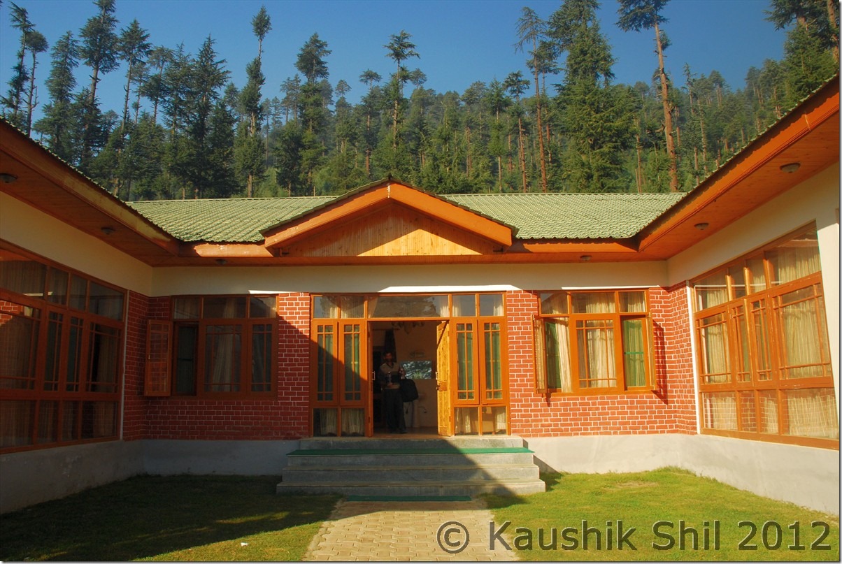
Warwan Map

The left (West) lower fork is coming down from Margan Top, only motorable connection of the valley with outside world. the left (West) upper fork is going across several villages like Uran, Bryn and the last village is connected by road is 16km away named as Churaman. As per locals from Churaman, survey of the road till Panikhar in Zanskar was already completed, though no one sure when the actual work would begin. The right (East) upper fork goes through village like Minglee and finally to Aftee around 12km from Inshaan. The road ends there. Aftee is turned into a model village with Sat phone connection which is only operative during day for local, during night it’s for use of Army only, a high school with just 2 teachers and 500 students, a health center which usually keeps under lock and key and doctor comes only during visit of MLA/MP. The big joke in the name of model village indeed!! People there thought we came from press and they took me 500 meters by walk to get a snap of their only high school and closed health center. Reasonable enough, they have lots and lots of grievances against the administration and Government who are too passive there. One of the students who wanted to be an engineer asked me “Sir tell me how we could compete at all India level after plus 2 when we have just 2 teachers for 500 students and we don’t have classes in most of the days”. I had no answer really, felt good that they wanted to come to main stream India but the question is how they could unless Government does its role appropriately. Back to the map, the right (East) lower fork goes to Nayapool via Dasbal village where the motorable road ends and trek route started towards Marwah and then subsequently to Kishtwar. The road work is going on in that side but no one knew when the loop from Kishtwar to M-Top – Inshan – Warwan valley – Marwah – Kishtwar would be completed. Now except the left lower fork of ‘X’ which is coming from Margan top, rest all so called motorable roads are actually for a 4X4 vehicle, so much mud / slush and gravels are there, it’s extremely difficult to navigate those roads with normal cars. As we had a long trip to go, we didn’t take any chance with Innova, hired a local Sumo, which took 1500 for a day to take us through various parts of Warwan. Left upper fork was inaccessible because of a huge land slide a week back, we only covered right upper fork till Aftee (12km) and right lower till Dasbal (10km) and back to Inshaan and it took us 5 hours. Mokhtab was our driver in Sumo, very friendly guy (+919906741384) you can call and enquire about road condition of Margan Pass or anything on Warwan, those who plan to visit by hired car, can contact him as well for a nice trip in every corner of the valley.

The only Motorable Bridge in Warwan:

DSC_0187

Dariya i Chenab:

DSC_0188

The gorgeous Valley:

DSC_0189 DSC_0194 DSC_0197

Extreme Left Mokhtab and middle Kazim with 2 middle school students in Dasbal:

DSC_0202

Eager to pose before Camera:

DSC_0203

One of the many footbridge over Dariya i Chenab:

DSC_0205

Golam Mohammad Wani – the retired school teacher offering us Apple from his orchard:

DSC_0222

A cute Face:

DSC_0224

The Apple Tree:

DSC_0225

Golam Saab with family, Mokhtab seen second from left:

DSC_0227

The farm land:

DSC_0239

Roads are all Kachha:

DSC_0243 DSC_0248

The beauty of Warwan is difficult to express in words, the meadows, the apple and akhrot orchards, the golden farm land, the deep blue dariya i chenab flowing across, snow peaks all around makes it a must visit place for all. In addition to that you would find the most welcoming people of valley here, we took atleast 10 cups of tea, roti, cakes, apples, akhrots number of times during these 5 hours. Sometimes they stopped our car to get acquainted with us and offered us apples and tea, took us to their home, introduced us with the family members, awesome experience indeed. Once again the nice day was followed by a brilliant dinner with Kazim came into play with his great chicken curry and Rahaman prepared a nice alu-gobi. Army was even so friendly, when we came back from our day visit, we found they brought lunch for all of us from their camp. I have visited many places in India and outside of it but never touched so much the way I was touched in Warwan.

Awesome Vistas of Warwan:

DSC_0252 DSC_0266 DSC_0275

Minglee Village:

DSC_0279

Model Village Aftee:

DSC_0283

Primary School at Aftee:

A wonderful JK Tourism Hut in Aftee but there is no approach road DSC_0284

A wonderful JK Tourism Hut in Aftee but there is no approach road

DSC_0286

Government Higher Secondary School at Warwan Teacher Student ratio 1: 250

DSC_0289

DSC_0290

A wonderful moment:

DSC_0292

The Visitor’s log in Warwan, since Anirban’s visit last year, I am 3rd guest and first tourist to visit:

DSC_0294

Kazim in middle and extreme right is Abdur (Nishane chod ke jao) Rahaman, an excellent host

DSC_0295

Tomorrow we will depart from this part of heaven again towards Margan pass and yes would try to spot Nun-Kun from there and then via Kokernag and Verinag we would be moving towards Aharbal at Southern Kashmir.

Previous: Unexplored Kashmir – Aru, Lidderwat Valley

Next : Unexplored Kashmir – Kokernag, Verinag, Aharbal

Unexplored Kashmir – Aru, Lidderwat Valley

Before starting the trip report, I must acknowledge the help and support from our driver Md. Kazim, who took me to Zanskar last year. We all are aware the valley is not completely safe and in slightest pretext any major issue could erupt anytime. I spoke to dozens of driver from Valley but none was really prepared for such a long 15 days trip to the places called Warwan, Bangus, Handwara, Kupwara, Sophiyan primarily because of 2 reasons:

1. They have enough tourist in Kashmir in recent years to earn easy money by driving between known and established places and that too in most of the times by day trips.
2. They are definitely not confident about the situation in valley where they are not familiar with.

Kazim, though a Kargil driver, not that fluent in Kashmiri (Knowing Kashmiri is really helpful in many of the interior places where they won’t understand Hindi or Urdu), ready to be our companion for these wonderful 2 weeks, without him, we really couldn’t make this trip. I was aware about his safe and sound driving in difficult road already but this year I discovered his culinary skill and believe me in many remote places, he brought everything and surprised us with excellent chicken curries and rice and yes he didn’t take a single rupee for that, it was more like a friend, relative, companion he was than the driver. Next year November, I am planning to attend his eldest son’s marriage ceremony at Kargil, got the invitation already and it would be so thrilling.

The only thing he did a mistake was bringing his new Innova instead of the Xylo/Scorpio. Innova got battered badly in Warwan, Karnah and Gurez, if you plan these places, high GC cars like Xylo/Scorpio even Sumo would be much more effective.

22-Sep-2012

I never could sleep before catching an early morning flight, this time the tensions were building up more as I didn’t have any of the permits I needed at the time of journey. For Gurez, I sent all the details with photographs and application almost a month back of our journey and Sunny Paaji was kind enough not only just to submit those but followed up several times being present in SP Office physically. After he submitted the papers, J&K Police sent the verification request through their home ministry to my local PS. This was really a complicated process and still today I didn’t understand through what exact channels the verification was routed as J&K and Kolkata Police were not in sync on this. Even after the verification was done at my local Police Station and subsequently sent to regional office for further routing, it never reached the J&K Police. Several calls, visits all were futile and I had no option than to start my trip without the permit. This is the reason, I would suggest anyone applying for this permit, please do so a lot before than recommended and keep on following up with the concerned authority.

So finally boarded the morning flight from Kolkata and subsequent change in Delhi, finally took us to Srinagar around 12 noon. I knew my first job was to visit SP Tourism Enforcement office and sort out the permit issue. When I reached they acknowledged quickly about my application and but couldn’t do anything as police verification was still pending. SP was out for lunch and I was told to wait until he came back. Meanwhile I tried my luck going to Director Tourism Office (which is adjacent to SP Office inside the TRC) and meeting PA of Director Mr. Shafee, once again I was introduced to him by Amit. Shafee was a nice gentleman and he heard the details and ready to issue me a recommendation letter to be produced at DC, Bandipora office to get the permit. I readily accepted that as I was really not sure what SP would finally decide. I got the elusive recommendation letter signed by Dy. Director Ajmat Saab but that’s a day when my luck was fluctuating like a pendulum. Soon after handing over the letter, Shafee called up DC, Bandipora to apprise of the situation and there the shock came, DC confirmed over phone as per latest rule, he was no more authorized to issue the Gurez Permit to anyone who doesn’t reside in Bandipora. So the letter was taken back and put into waste paper basket. It’s already 3pm by then and I had to proceed to Aru for my night stay, time was slipping out, I ran to the SP Office again as recommended by Shafee and met Quayum Saab who was the SP, Tourism. Once again it’s Amit who introduced me with Quayum saab and even gave me his mobile number. He tried his best as well by calling the Kolkata Police Office Number (North Regional Office) but at that point these guys said the routing of the request was wrong and it should be directed to CID Control,West Bengal as local Police station can only verify on what the person has done within the PS jurisdiction, over all verification has to be obtained from CID Control. The complexity keeps increasing, Quayum Saab was sad but he was helpless too and it was really heart breaking that even after trying seriously with all documents in place for more than a month, we are denied permission to visit a place which is part of our own country. As a last resort called up Amit around 4.00pm and updated him about the situation. Surprisingly in the middle of all negativity, Amit was extremely positive, he asked me to wait there and promptly called up, Talat Saab, Director Tourism J&K. Things start moving from this point, Talat Saab called up SP and then SP asked me to come back on 28th Sep again at his office, hoping by that time police verification might have come. Meanwhile SP office asked me to produce Driver’s address proof and photograph as well including the car registration number. We have done that too. Though SP didn’t give any commitment but I felt the situation might change after Talat Saab’s call. I can’t really thank Amit enough, not just for his help but the moral support he provided me at a stage when I was not only damn tired after the whole journey but utterly frustrated for not getting the permit even after loosing one full day at Srinagar TRC.

We hope for a better day on 28th Sep and finally left TRC around 5.00pm for Aru. It was already late and we caught in a terrible traffic jam just outside Srinagar to loose one more hour. Evening was approaching when we finally got our way towards Ananthnag. During this whole drama, I completely forgot to call Sunny Paaji for which I really want to apologize. Now I had a plan to visit Sunny Paaji’s Aru Eco Resort which I didn’t even find on the way in the middle of darkness, it was already 9.00pm and raining heavily. The road to Aru from Pahelgam was felt little tricky and we just drove with high beam on taking the road as it was coming. At the end of the road we finally reached the JKTDC Aru and we had no option to search for any alternative at 9.30 night after such a long and hectic day. JKTDC Aru is located nicely but honestly didn’t like the people working there, the first surprise came as they blatantly charged 2000/- per night for a room and when I pointed out I have seen the JKTDC website on same day it was being sold at 1000/- per night, he simply said 50% discount is available in booking over net but not if you reach there and try to book, I was in no mood to fight but straight away told him I need to move if he charges me just double. Then he came out with an alternative plan, asked me to stay first night without any registration in their book and for second night asked me to pay full 2000/-. I had not much option than to agree to that at that point of time, but it was evident to me that they go by their own wishes and could take unsuspecting tourists for a ride. We were so tired that next day we got up at 10.30, where as in my whole life ever in a trip I never got up after 5.30 in morning. They offered us trout and chicken and finally brought a bill of 900/- for these 2 items, (The hotel menu card doesn’t include either of these items), after lot of bargains, we got horse at 500/- (Down from 800) for Lidderwat ride what we later learnt from Sunny Paaji that can be managed in 350/- during that time. So if you stay at Aru, JKTDC, be careful about the hotel staff and better I would say, stay at Aru Eco Resort, which is probably the best located property in Aru with nice treatment to the guests, a signature of Kashmiri warmth, which you would miss in any of these so called commercially established places like Sonmarg/Gulmarg/Pahelgaon. We later visited the eco resort and it’s one of the greatest repentance of our whole trip that we couldn’t stay there for a night.

23-Sep-2012

As we got up late, we were really confused if we should still go for Lidderwat but finally decided for that and it proved to be a good decision. We were little skeptic in beginning as my 7 yrs old daughter had to sit in a horse of her own but we decided to take the chance. The ride starts from Aru and it’s a 12 km distance one way, so if you have just a day in hand and you are not a seasoned trekker, trekking is ruled out. The horse riding was a fun though the horse owner very easily directed us to move our body weight to balance it whenever we were in a slope. The downward slopes were scary comparing to upward slopes or level walk. We soon entered into a dense pine forest still muddy due to heavy rains from last few days. We kept going saving our heads from tree branches and ofcourse from the weird movements of the horse in slopes. Soon we started getting heights and at one time find lidder river just beside us, the clear blue water was very inviting and the vast green meadows with sheep grazing made it feel like a different world.3 hours of riding over horse brought us to Lidderwat Valley where we found an Israeli couple pitched their tents and planning for further hike on next day. We even found tourism huts in leederwat, a definitely worth place to stay if you can, brilliantly located though unmanned, I asked the locals and they confirmed it’s not locked and anyone can stay there. We were tired after 3 hours of unfamiliar horse riding and took some rest in the meadows, got a cup of hot tea from the Israeli couples which was enough to get rid of all tiredness. It was already 3.30pm and we started our return journey along the same route, while coming back it took slightly less time (2.5 hours) and we reached Aru by 6.00pm. Once we returned we were informed Sunny Paaji came to the hotel to meet us, we really felt sorry as we should have contacted him by then, we gone to Paaji’s resort and believe me once I saw the property and the location, it was a big regret not to spend there a night. Pics can’t do justice always but still have a look into the place here. We couldn’t meet Sunny as he left for Srinagar but God has made a separate script for our meeting and we met very surprisingly later in the trip, would elaborate as I proceed with the T’log

The day was much better than last day as Lidderwat is an awesome place to visit and we started feeling the beauty of the valley. Tomorrow will be a big day as real flavor of unknown Kashmir would begin as we proceed towards Warwan Valley.

Starting of Trek for Lidderwat:

DSC_0006

Innocent Faces:

DSC_0009

Road continues keeping Lidder at left:

DSC_0018

Open meadow appears:

DSC_0032

It’s heavenly with the valley and Lidder flowing in between:

DSC_0046

Trek Continues:

DSC_0048

The JK Tourism Hut at Lidderwat – Excellent Location:

DSC_0068

Lidderwat Valley:

DSC_0082

Aru at Dusk:

DSC_0088

Kid became friendly with her horse:

DSC_0097

JKTDC Aru – Location wise excellent, otherwise not very friendly:

DSC_0103

Aru in Morning:

DSC_0104

Aru Eco Resort my favourite place to stay in Aru:

DSC_0106 DSC_0107 DSC_0108 DSC_0109

View from Eco Resort: DSC_0110

DSC_0119

Previous : Unexplored Kashmir Introduction

Next : Unexplored Kashmir – Martand Sun Temple, Achabal Garden, Warwan Valley

Exploring Paradise on Earth: Lesser Known Kashmir – Introduction

This trip would never be possible without the tremendous help from Amit Tyagi (Hiambuj), Anirban (ADC) and Sunny Paaji (SunnyKashmir). No amount of thank would be enough for them as from starting of planning the itinerary, getting permits, connecting me even to Director Tourism of J&K, these guys were instrumental in making this trip happen and when I felt almost frustrated, these guys keep on encouraging me and such a trip in terms of complex logistics with family won’t be possible without their unconditional help and support.

When we did a fabulous Zanskar and Ladakh trip last year, I was pondering about coming back to the state again but this time specifically for the Kashmir Valley. Kashmir has been attracting highest tourist footfall in last 2 years among all Indian states but saddest part is like Arunachal it’s concentrated just on pocketful of places like Sonmarg, Gulmarg and Pahelgaon. I can vouch you won’t get the experiences of Kashmiri warmth and raw beauty of valley in any of these established commercial places. But then comes the next question where we will go, honestly I was not aware of any places except those so called established tourist places and along with that the ever volatile situation of the valley that makes it more difficult to plan especially when you go with family.

The planning started a year back and first we started debating over the time to go. From the perspective of natural splendors you really can’t make a call, Spring is the season of flowers blooming all across, summer is the time to enjoy the lush green with snow scapes, autumn is the time for fruits and the valley turned fire with fall colours and winter brings a different perspective with it white veil altogether. Weather plays a very important role in any Himalayan trip and so we gone by familiar wisdom of selecting either of the two windows, one just before monsoon arrives around June by which high passes should be opened or just when monsoon recedes around end September as the reversal of wind flow keeps the weather usually better and dry during these periods, if you have noticed most Himalayan summits are attempted during these two windows. We chose September end over June primarily because of

1. The pass openings are almost guaranteed
2. Roads are at its best condition in Himalayas and water crossings are mostly manageable which was a must for us as we were venturing in the unknown roads.
3. Season would be at its leanest and obviously you have an upper hand in bargaining which is essential in valley.
4. Airfare usually be cheapest in the quarter ending September (than that of in June)

I booked my flights from Kolkata – Srinagar and back way back in January this year and for 3 of us return cost just 25K (which subsequently gone upto 70K later, thanks to shut down of Kingfisher).

I called up Sunny Paaji around January and had some initial discussion on the places I should include in the trip, that time it was very sketchy and only thing we could conclude that keeping 2 weeks for the trip is safe to cover the most part of the valley, flight tickets were booked accordingly. Then several rounds of discussion with ADC (Anirban) who did his Kashmir trip in last year October and Hiambuj (Amit) who did another brilliant trip in August, slowly started giving me clarity on the plan. This is the first trip in my life where I didn’t have the clear idea of the routes / plans to be taken even couple of weeks before starting the trip. Slowly the names of the places, I repeat just the names (as I still have no idea on what they could offer then), were started figuring out. Gurez, the famous Kishanganga river outlining the LOC and Habba Khatun peak in backdrop, Bangus the brilliant meadows, very popular to foreign trekkers till mid eighties and the Warwan valley, hidden treasure of nature sandwiched between Pahelgaon and Zanskar Valley were came out as must go. We included Dudhpathri too as it was close to Srinagar and heard about its beautiful meadows. I wanted to visit Lidderwat Valley, courtesy Sunny Paaji’s T-log and hence wanted to include Aru too. Amit’s extremely useful suggestion on including Aharbal made a lot of sense which we realized once we visited the place. I also have a hidden wish to explore atleast one of three frontiers from Kupwara, Karna Valley, Keran Valley and Machil valley but even on the start of the trip not sure how to get permits to visit those places.

Once the destinations are in place, question comes in which order, clockwise / anticlockwise how we would travel as I was not so keen to touch Srinagar every time enroute. This time the thumb rule we taken was let’s go for the places first where permits not required and that would give us additional time to try for permits of other places if required. This turned out to be a very good strategy as we later realized, when to get Gurez permit I had to spend almost 2 full days in Srinagar.

So route plan charted as follows:

22nd Sep – Kolkata – Delhi – Srinagar (Reach by 12.00 noon) and proceed to Aru and stay at Aru.
23rd Sep – Aru Stay and visit Lidderwat Valley
24th Sep – Aru – Mattan Sun Temple – Kokernag – Valioo – Mattihgawran – Lehanvan – Margan Top – Inshaan (Warwan Valley)
25th Sep – Visit Around Warwan, go as far as Dasbal in south (another 10km from there road ends and you will reach Nayapool and 2 days trek via Marwah can take you to Kishtwar), Aftee in North (where road ends and a 2 day trek in either side can take you to Panikhar in Zanskar Valley towards east or in Pahelgaon towards west.)
26th Sep – Inshaan – Margan Top – Valioo – Kokernag – Verinag – Quazigund – Wanpu – Kulgam – Aharbal
27th Sep – Aharbal – Spohiyan – Pulwama – Budgam – Khan Sahib – Dudhpathri
28th Sep – Dudhpathri – Budgam – Sopore – Handwara – Reshwari
29th Sep – Visit Bangus Valley
30th Sep – Reshwari – Handwara – Kupwara – Sadhna Top and if possible to Karna Valley till Tangdhar and if could manage permission then till teetwal.
01st Oct – Tangdhar – Sadhna Top – Kupwara – Lolab
02nd Oct – Lolab Valley – Kupwara – Sopore – Watlab – Bandipore – Rajdhan Pass – Kanwaljan – Dawar.(Gurez Valley)
03rd Oct – Dawar – Barnoi – Neeru – Chakwali (Till the point civilians are allowed and road starts winding towards Drass via Kabul Gali) – Tilail Valley – Back to Dawar
04th Oct – Dawar – Chorwan Forward Post to LOC if permission granted and then move towards Kanwaljan – Bagtore till Tarabal where road ends. Planned to trek towards forward post again if permission granted. – Back to Dawar
05th Oct – Dawar – Rajdhan Pass – Tragbal – Bandipore – Gandherbal – Kangan – Naranag – Back to Srinagar
06th Oct – Spare Day considering the infamous track record of Strike/Bandh in Valley (This came very handy later)07th Oct – Srinagar – Delhi – Kolkata Flyout.

So now with an ambitious plan in hand, the next question comes from where and how we get permissions.

This should be a separate part in T’log as during my extensive travels in remote Ladakh or Arunachal I never faced so much complicacy in getting permits and spent so much time to get those elusive permits.

Let’s chart out the permit processes in a nut shell:

Gurez: If you are not a resident of Bandipore, J&K you have to get your permit from SP (Tourism Enforcement) at Srinagar office. For that you have to apply with your details in a prescribed form 15 days in advance atleast (I will suggest do it a month in advance) with your photographs. If you are in a rental car, even the driver’s details and photograph is needed. This will go through proper scrutiny before it would be sent to your local police station for pre-verification which is simply a MUST now. The rule has changed recently on 31-Jul-2012 and now SP/DC Bandipora can only issue permit to people residing in Bandipore, all others have to follow the long drawn process mentioned above. Read the exact Government circular below (Clause ‘e’ is the difficult one) and prepare for some difficult times if your police verification doesn’t reach in time. Keep photocopies of the permission and we had to give it in 4 different places and our passports / I-Cards were checked 8 times between Bandipora and Dawar. I tried to figure out why these rules and formalities and when speaking to locals, it seems Govt discourage people from outside to visit Gurez and main reason is the 3X110 MW Kishanganga Hydel Power which is going through terrible rough times as tussle between Govt and locals now gone upto court and right now all works in dam sites are stopped because of a stay order from court. Otherwise the LOC and other issues remain much peaceful here than the areas like Samba sector in Jammu or Bangus area in Kashmir Valley.

Govt. Circular on Gurez Permit:

Gurez Notification

Permission to visit any forward post like Chorwan has to be taken from the local army brigade.

Bangus: Really unpredictable and it’s absolutely your luck that can take you to this magical valley. You have to apply to SP, Handwara in plain papers and SP will issue a written permission on behalf of civil administration and request 17th Infantry Brigade stationed there to issue final permission. So you are at the mercy of the army and their movement and other factors. When we went, an encounter was going on and I heard myself in army brigade out of 12, 2 were eliminated, they were combing for rest 10 if they slipped out to POK or hidden in the dense forest region. We were denied permission by Army for good enough reasons but how we finally made it to be told in the T’log later.

Karnah / Keran / Machal Valley : In all cases permission has to be taken from office of DC / SP Kupwara and then visiting forward post needs army permission.

To visit Teetwal, last Indian village from where you can see Pakistan’s village, roads, bus/trucks everything in 50 mtrs distance, has to be taken from Police Station / Tehsildar of Tangdhar. Same will be verified and countersigned by Army at Chamkot, 10km before Teetwal. There is an excellent PWD Guest House at Teetwal, just beside river Kishanganga which might be an excellent stay but unfortunately Tangdhar Police doesn’t issue more than a day’s permit which makes it impossible to stay there.

Warwan : Doesn’t need any permission but just before the ascent of Margan starts, you have to make an entry in Army check post and similar entry would be required once you reach Inshaan.

After a lot of text, it’s time for a few snaps to show you the highlights, details would come soon as I proceed with this T’log.

Aru – The start of Trek to Lidderwat:
DSC_0001

Warwan – Untouched Heaven on Earth
DSC_0275

Nun-Kun Peak from Back side : From the Margan Top – On a clear day it’s very well visible.
DSC_0303

Verinag – The best garden I have seen in Kashmir
DSC_0354

Elusive Bangus – I can walk many miles to go there again
DSC_0538

Teetwal Bridge – River Kishanganga makes the divide. We are in Indian Side , Other side is in Pakistan, try to identify the flags of Azad Kashmir (POK) and Pakistan on other side:
DSC_0694

Fall colors playing at Lolab:
DSC_0738

Gurez Valley with Kishanganga flowing across:
DSC_0865

Dudhpathri – The lovely meadows:
DSC_10041

Next : Unexplored Kashmir – Aru, Lidderwat Valley