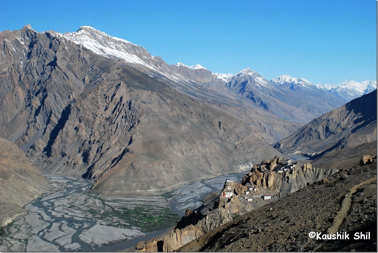
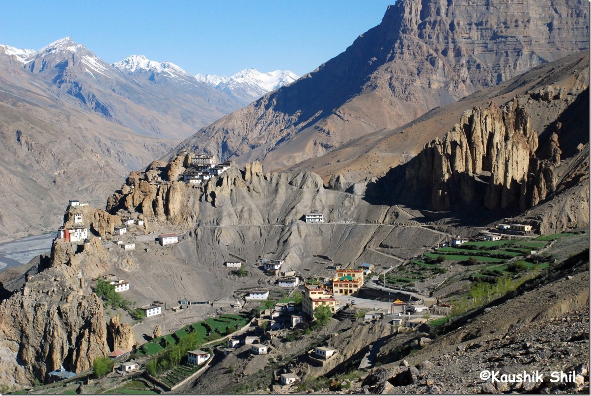
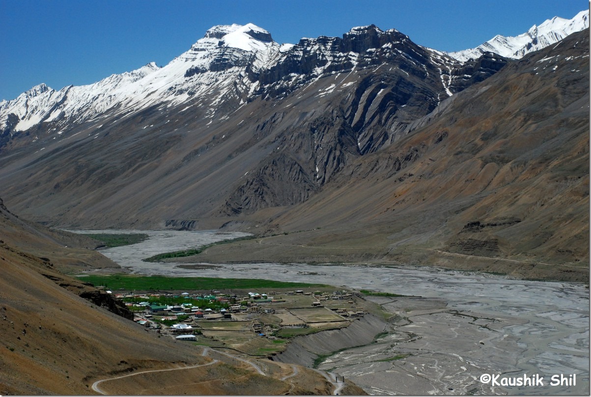
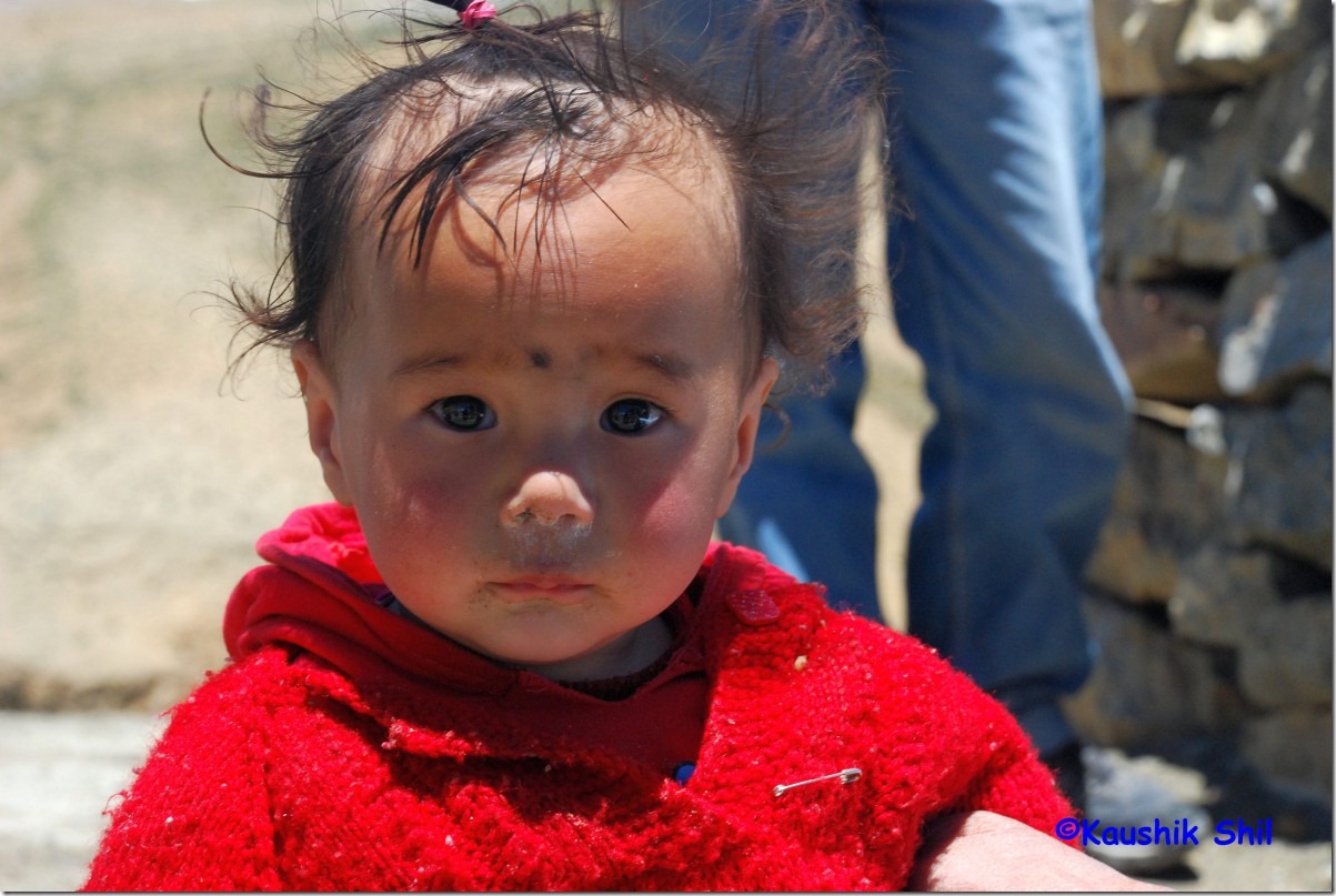
Himachal Pradesh – Chandratal, Kunzum Pass, Kungri, Drive Back to Shimla

Day5:

I woke up and decided to take a stroll towards the lake again in the morning.

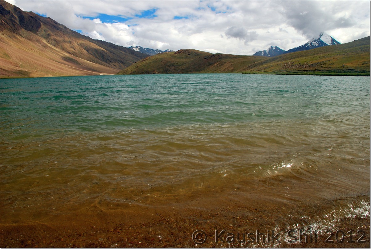
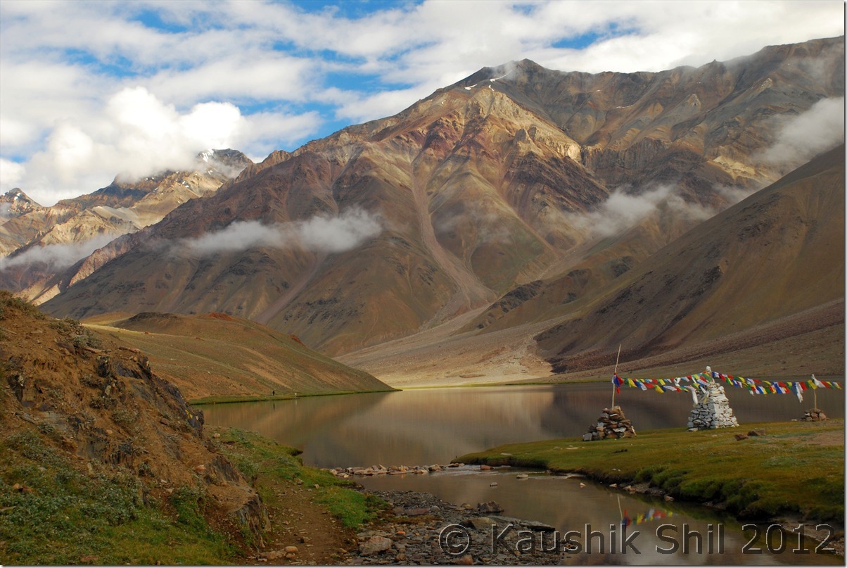
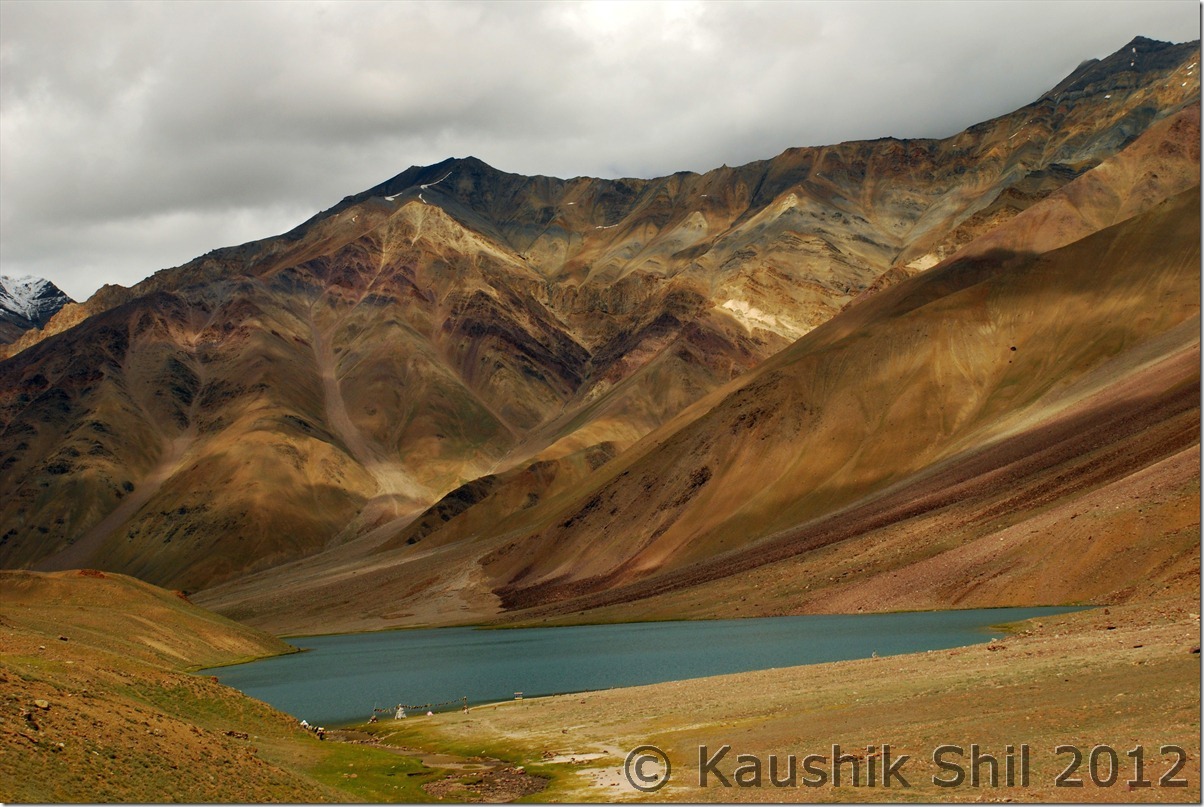
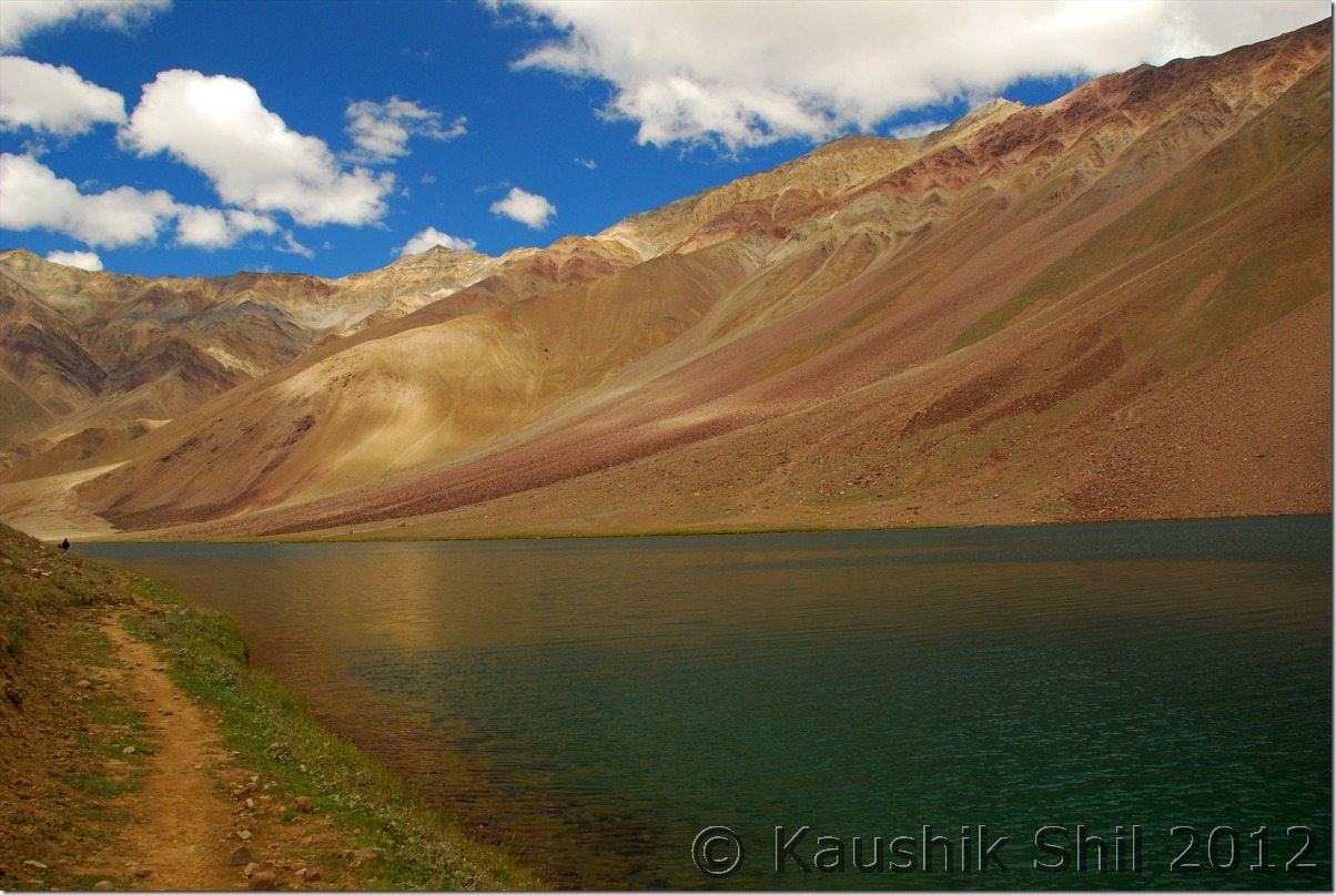
The lake from the hills of other end:

DSC_0314 DSC_0315

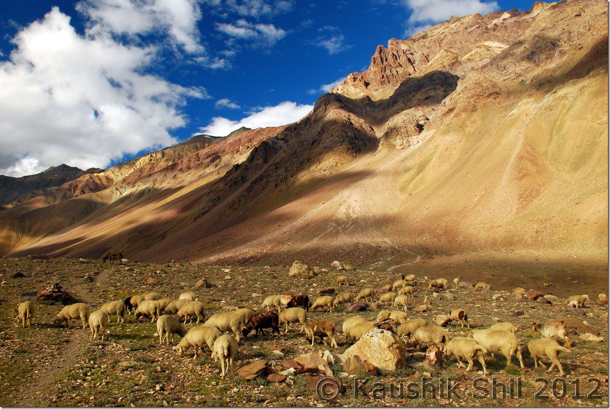
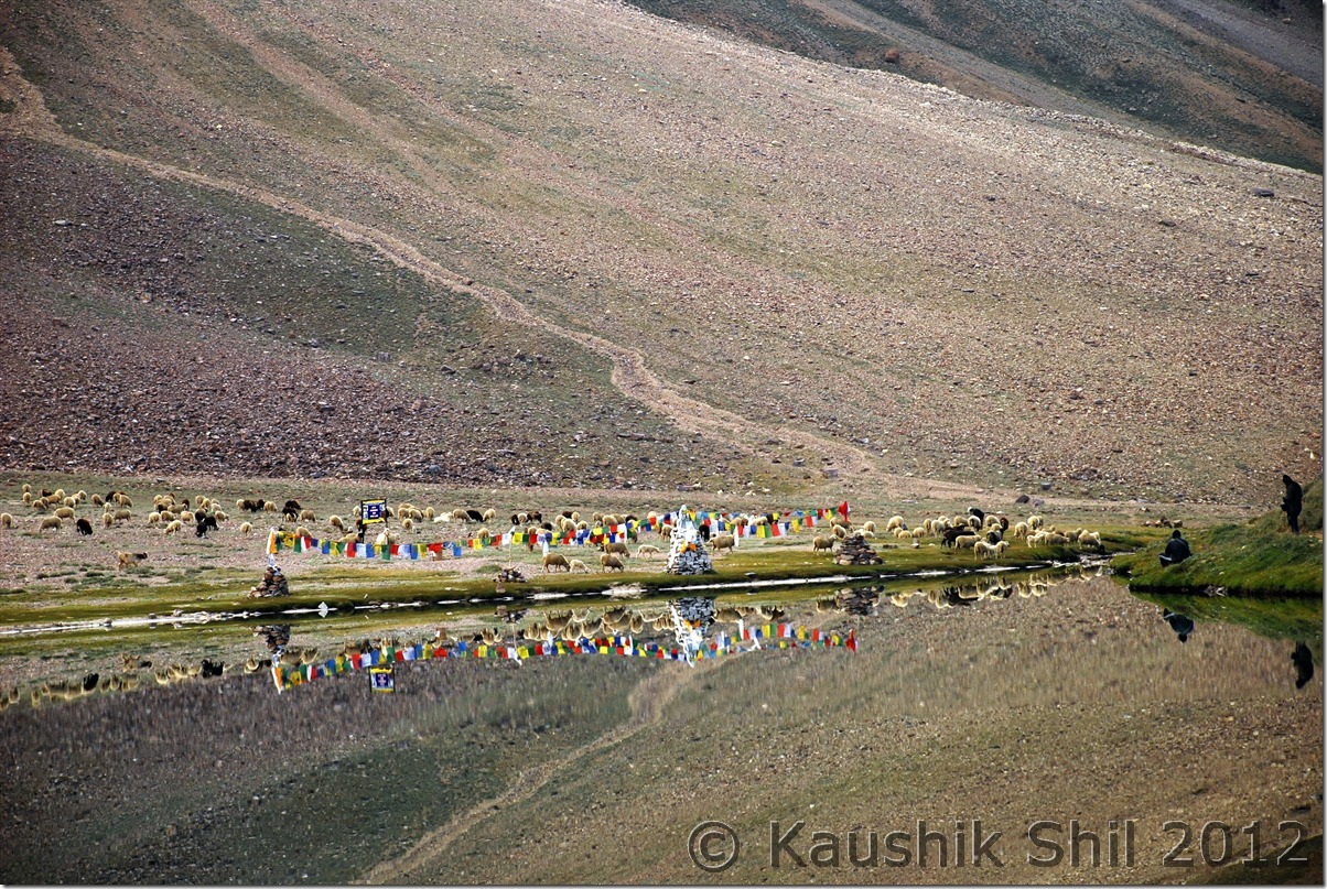
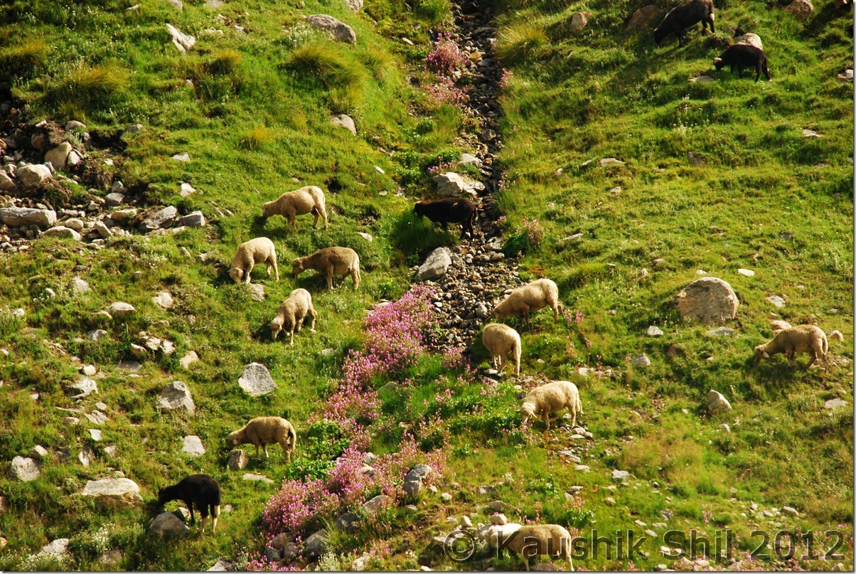
Sheep Grazing:

DSC_0329

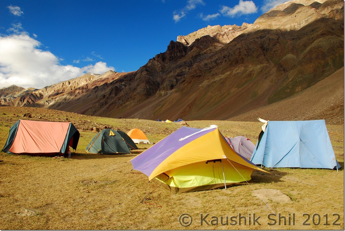
Camp Site:

DSC_0331

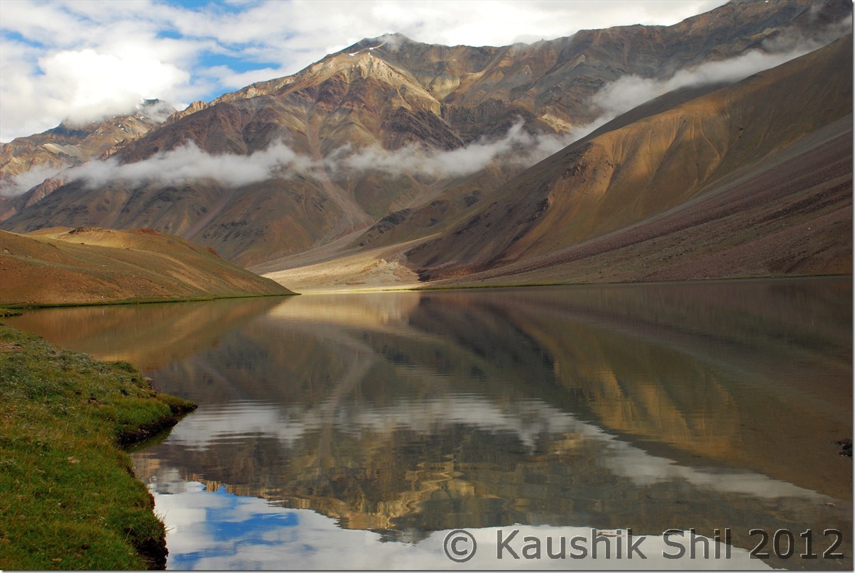
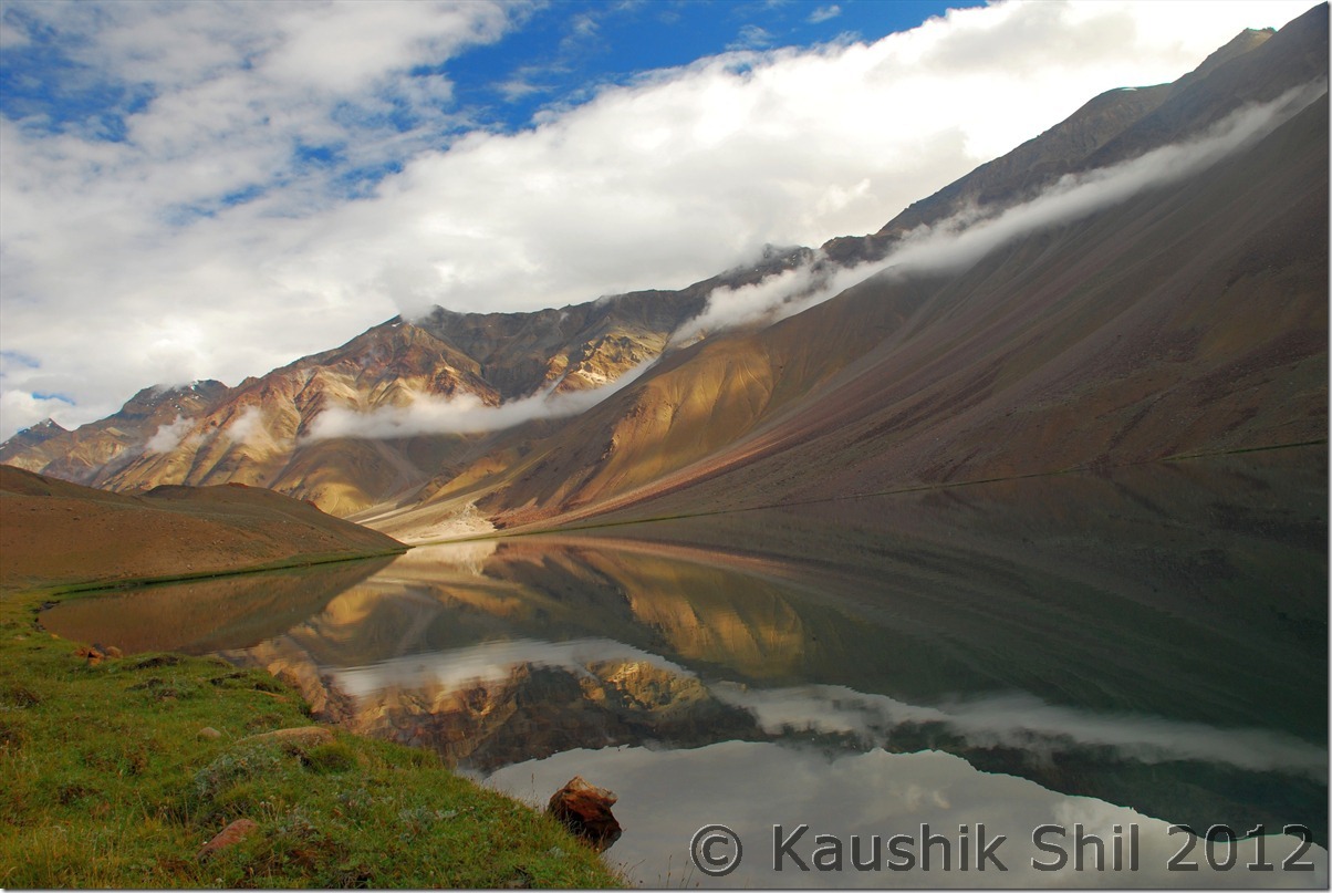
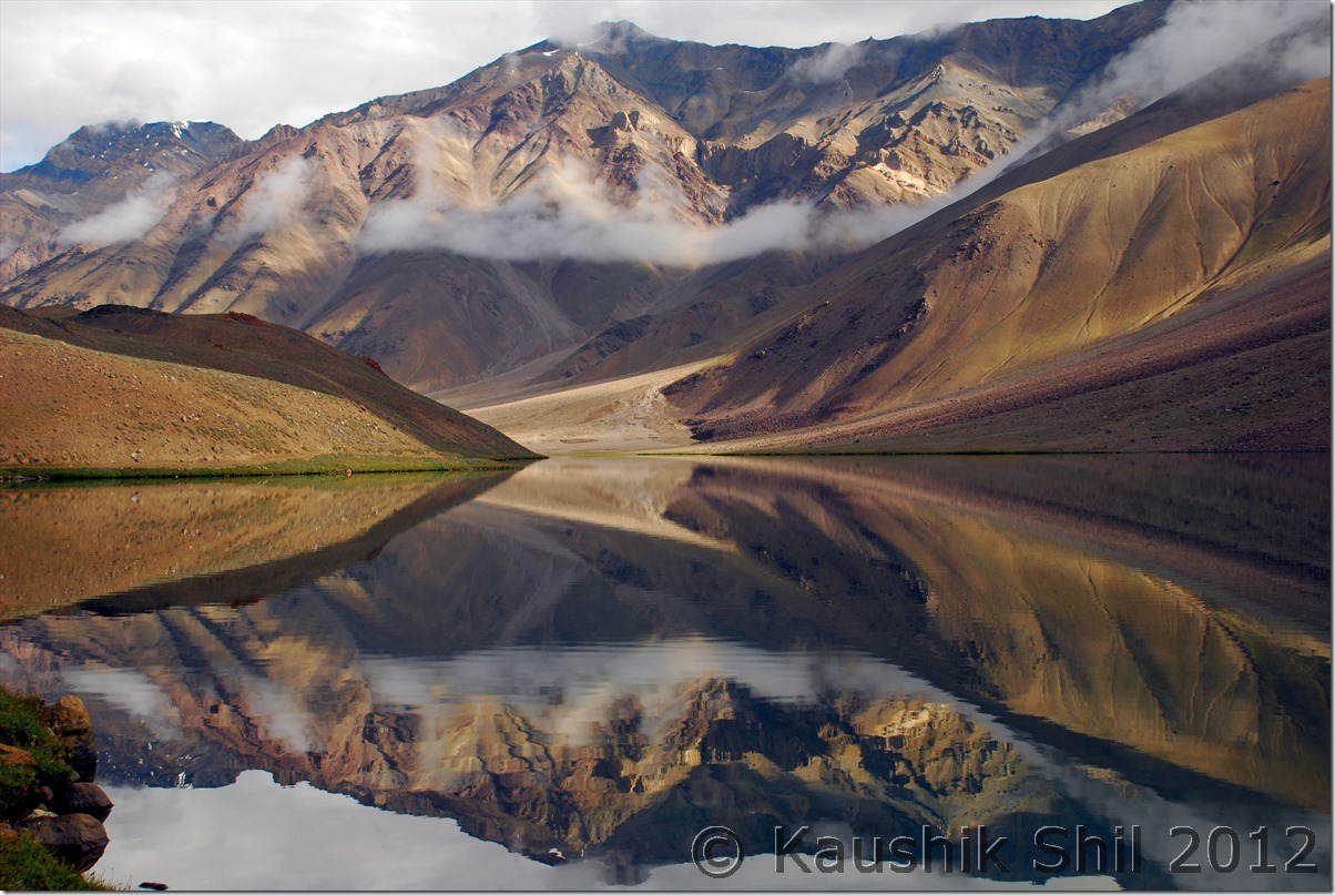
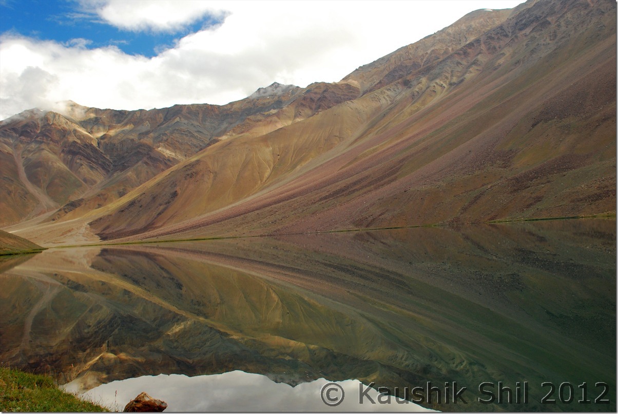
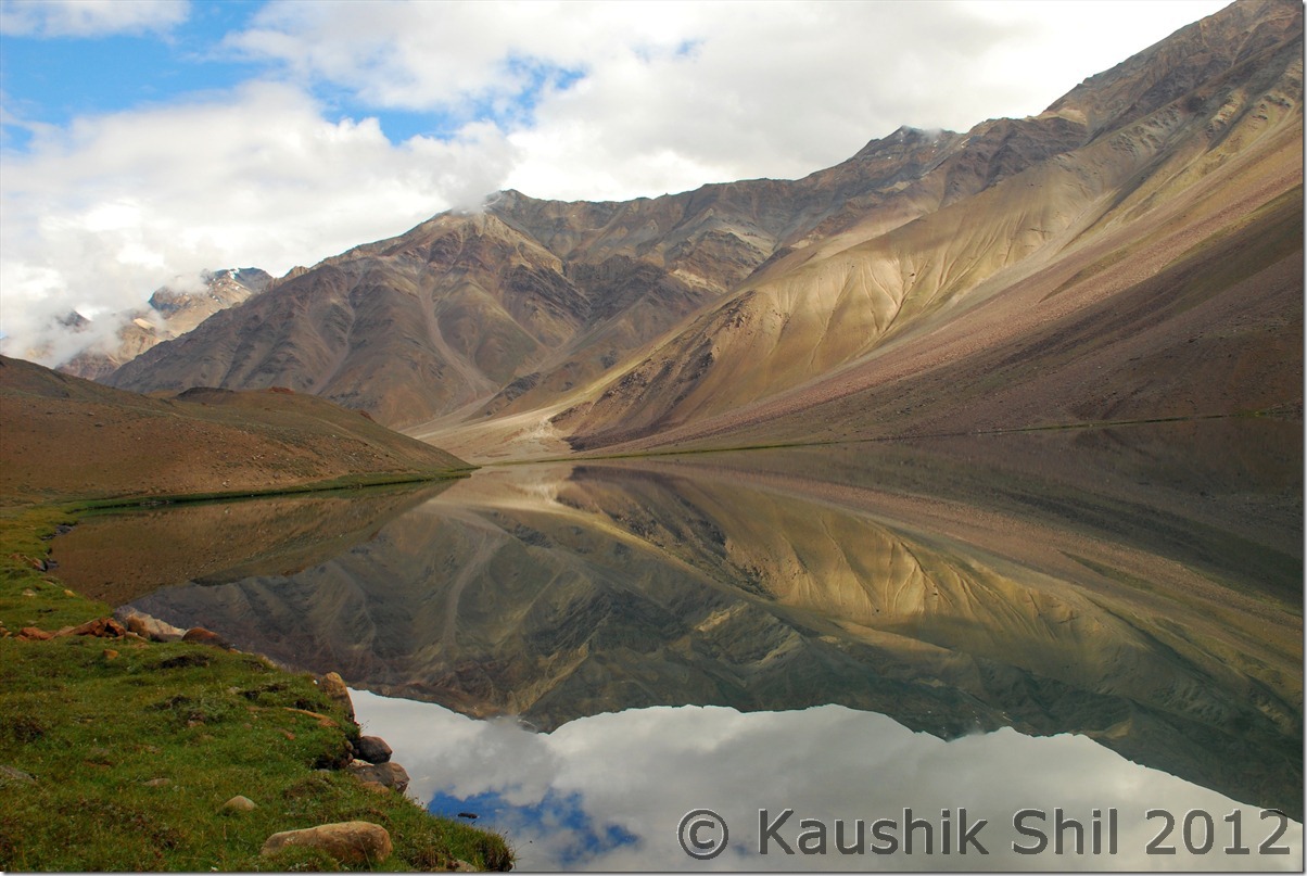
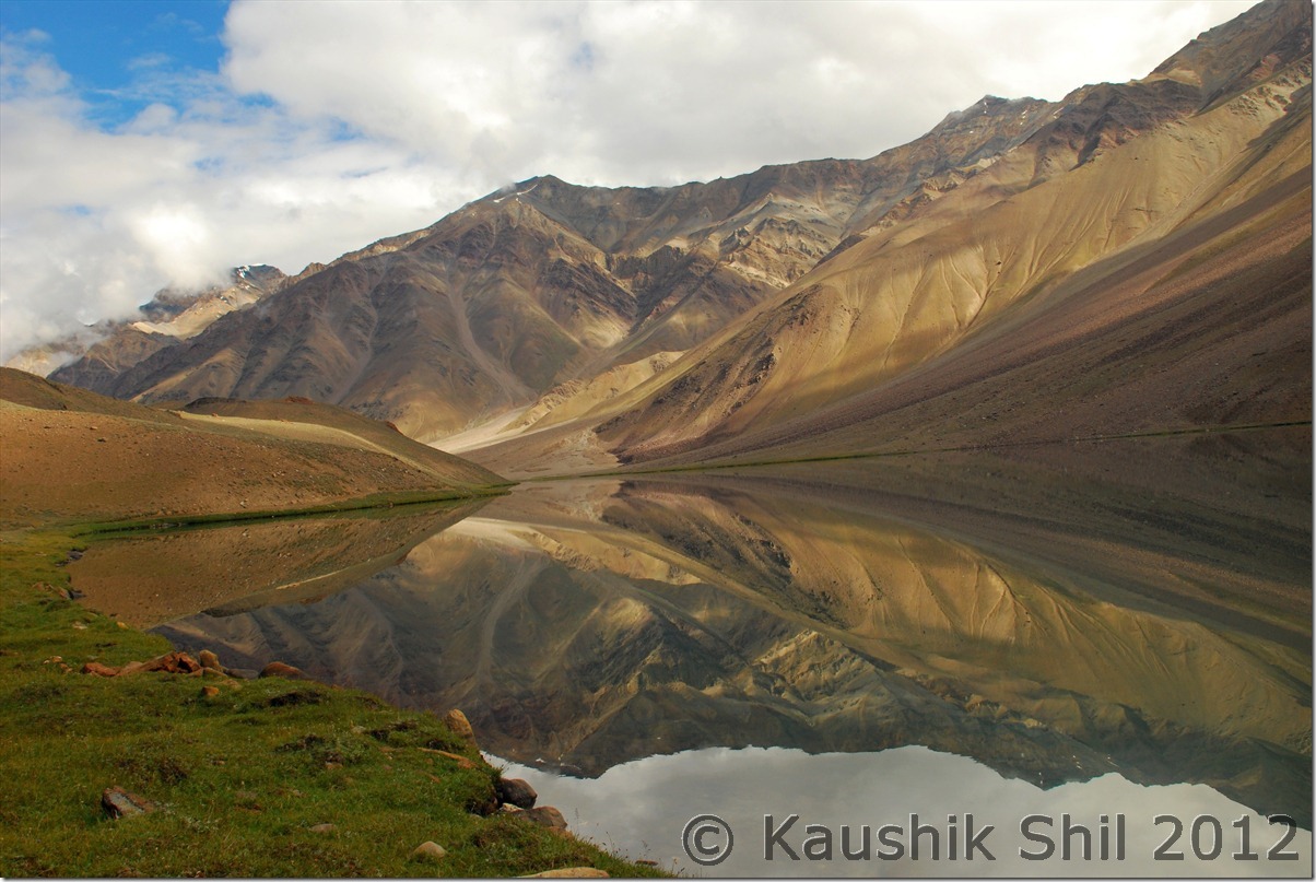
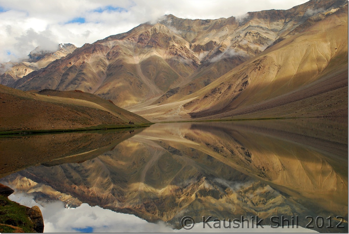
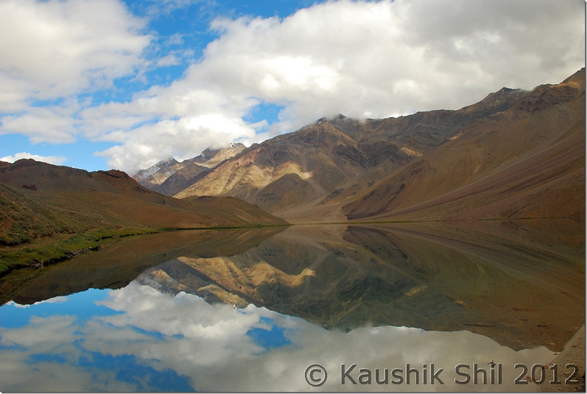
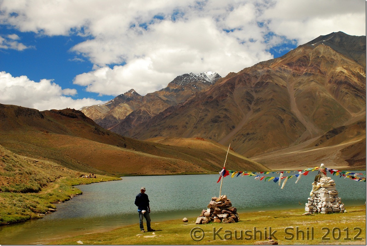
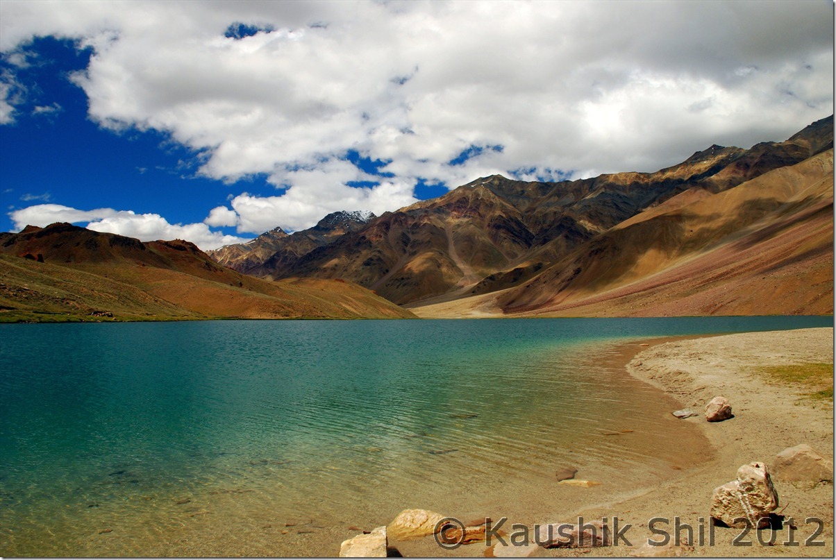
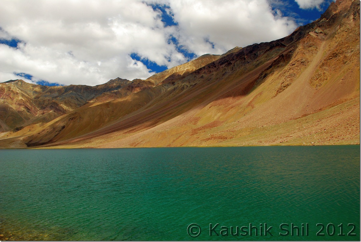
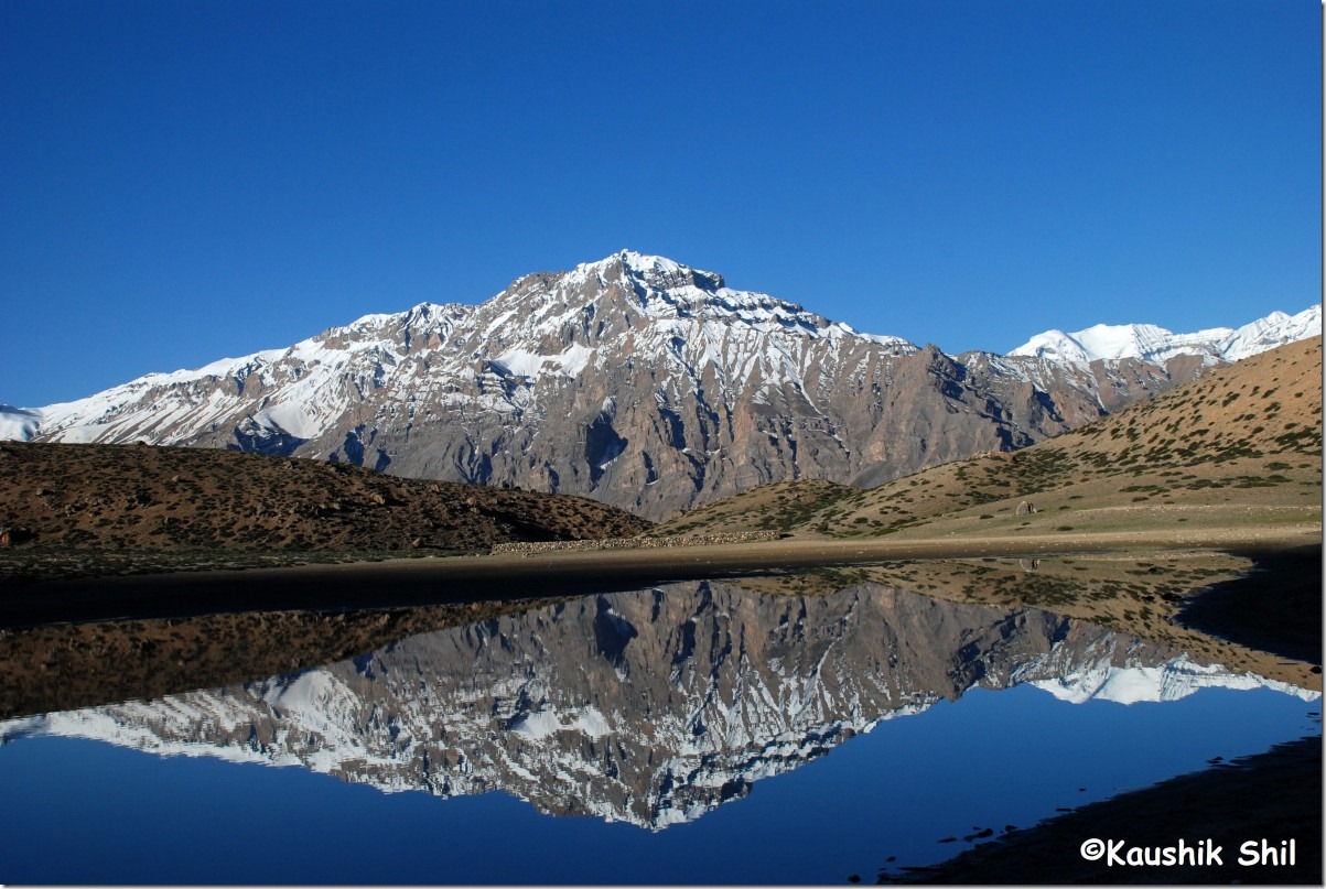
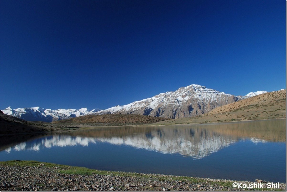
They say best time to visit the lake is morning, may be between 7 to 10 when the calmness, the serenity will touch your heart, you will be absorbed into the perfect tranquility. There is no wind and the famous Chandratal mirror forms, morning visit is a must to this magic lake, see why:

DSC_0334 DSC_0336 DSC_0341 DSC_0344 DSC_0346 DSC_0347 DSC_0351 DSC_0352

Had the prayer flags been missing, the lake might have gone unnoticed, such a perfect mirror it was:

DSC_0353

DSC_0355

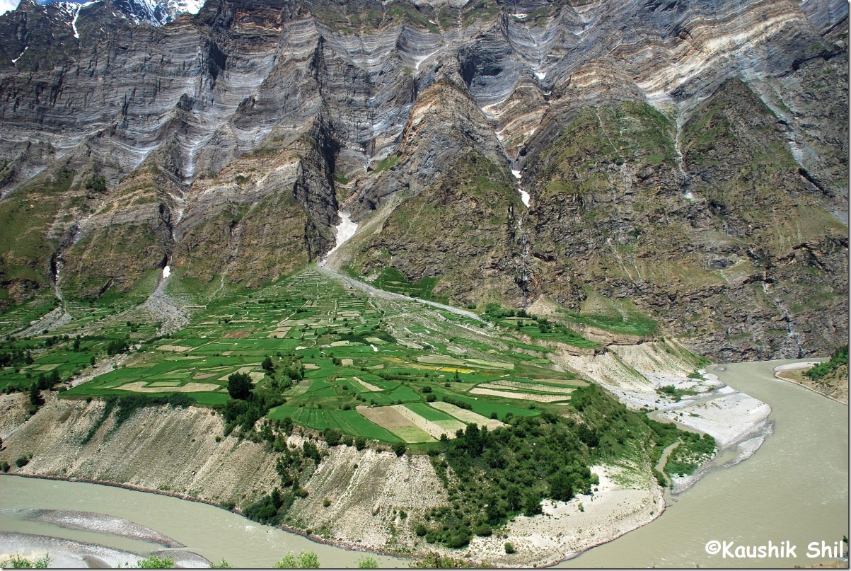
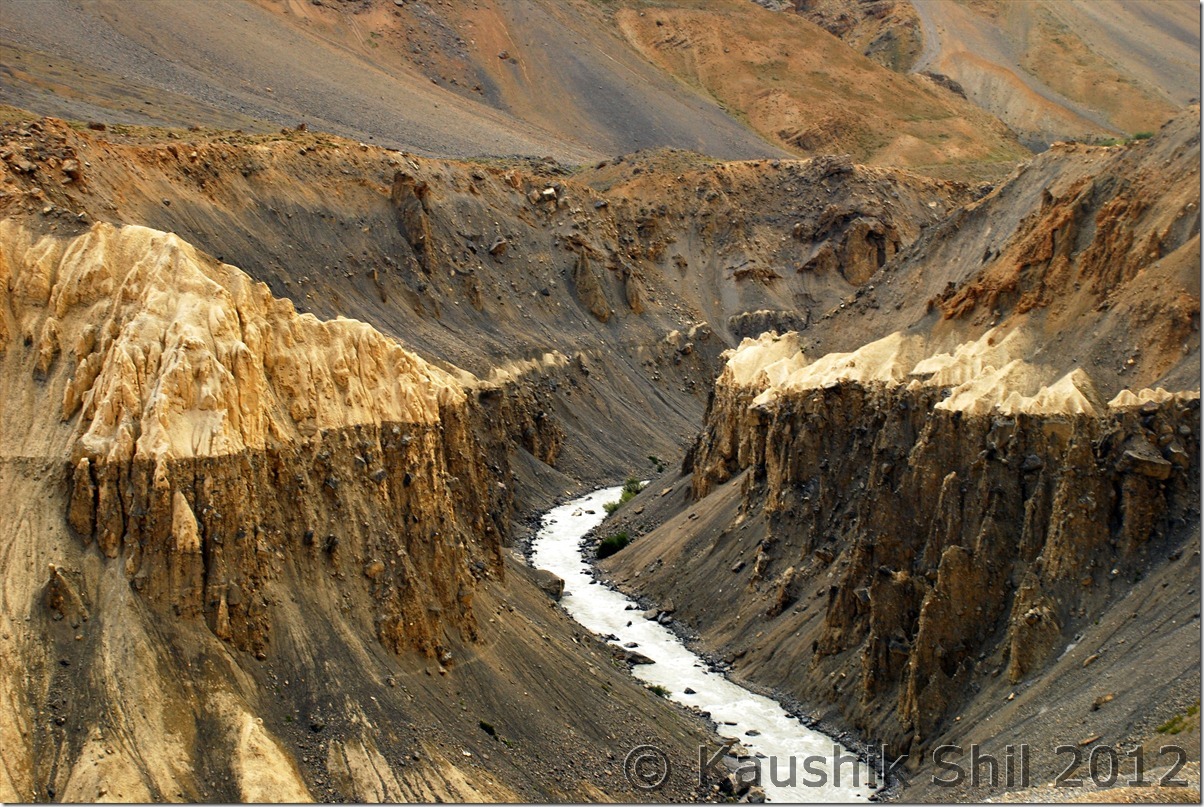
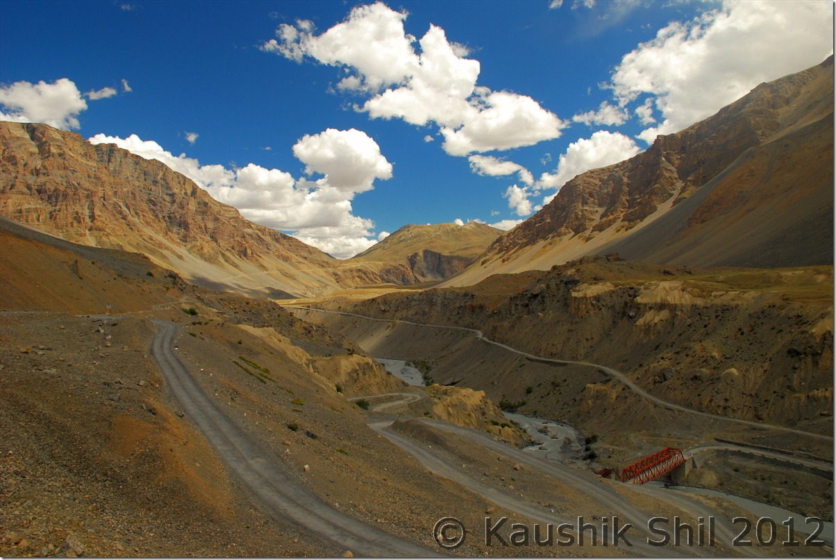
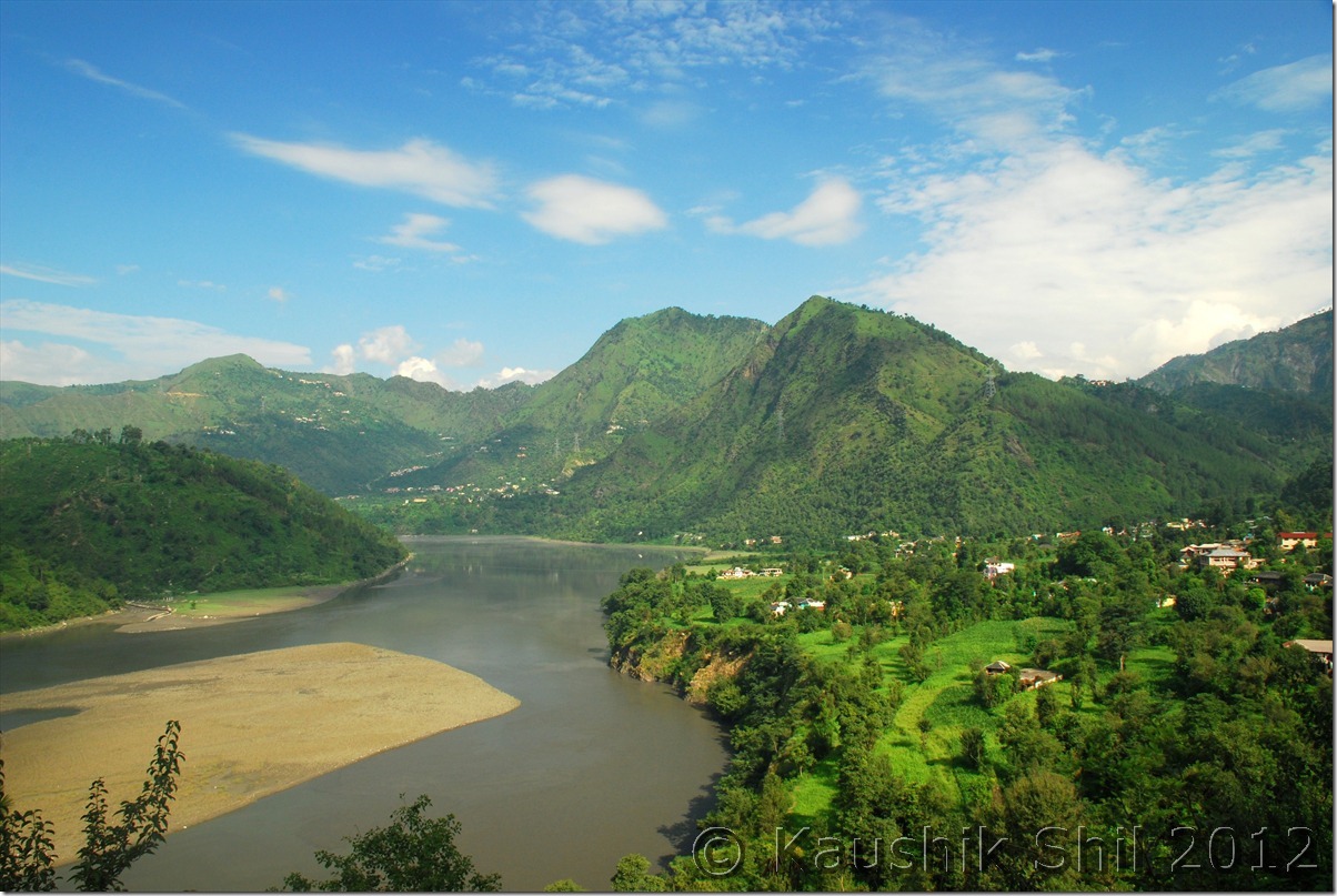
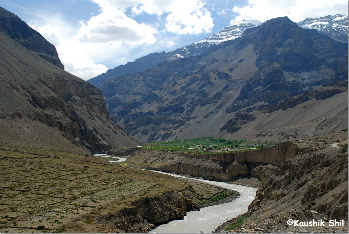
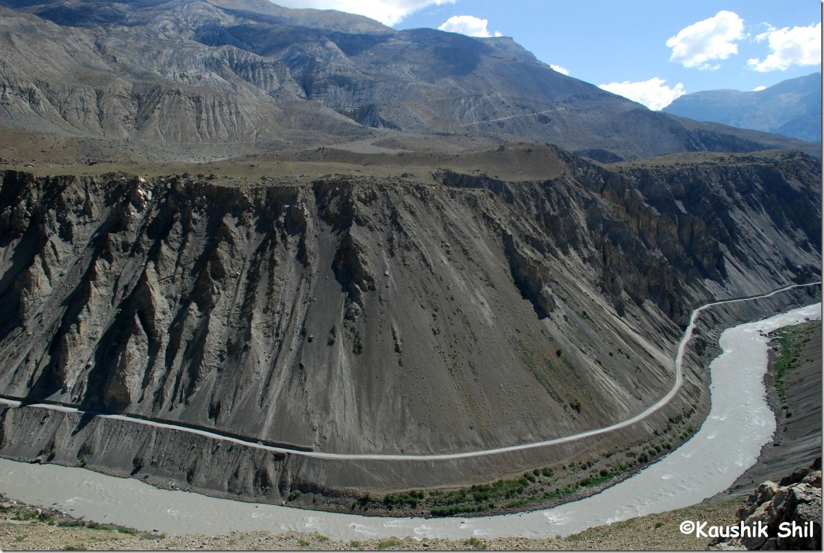
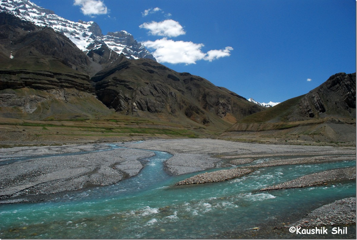
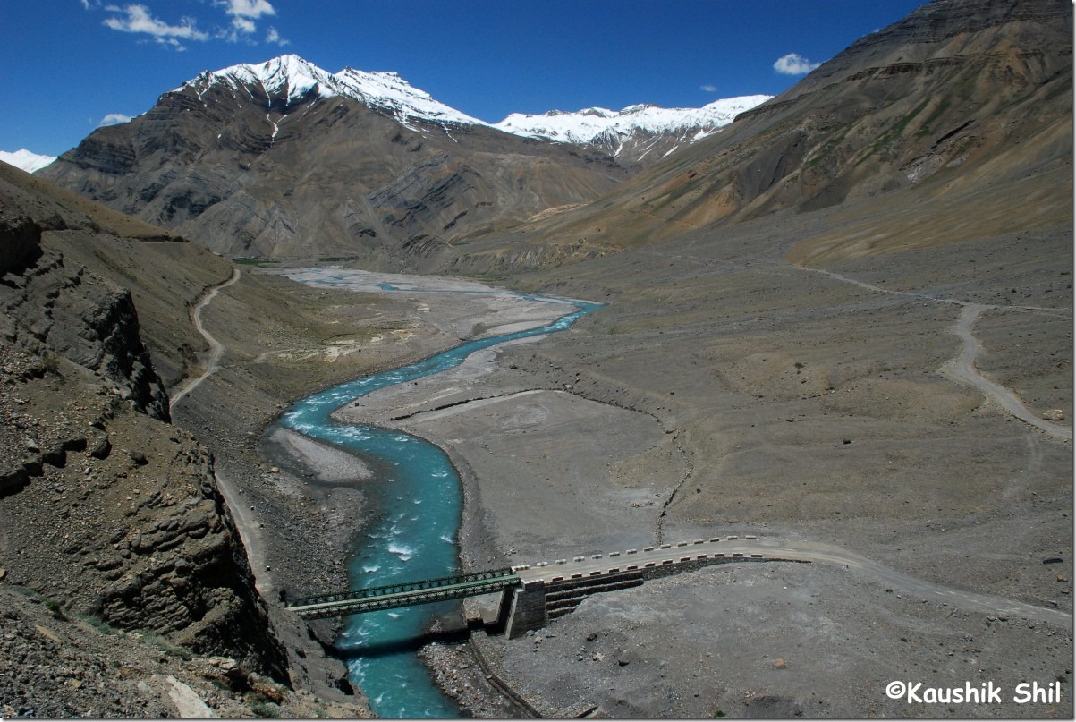
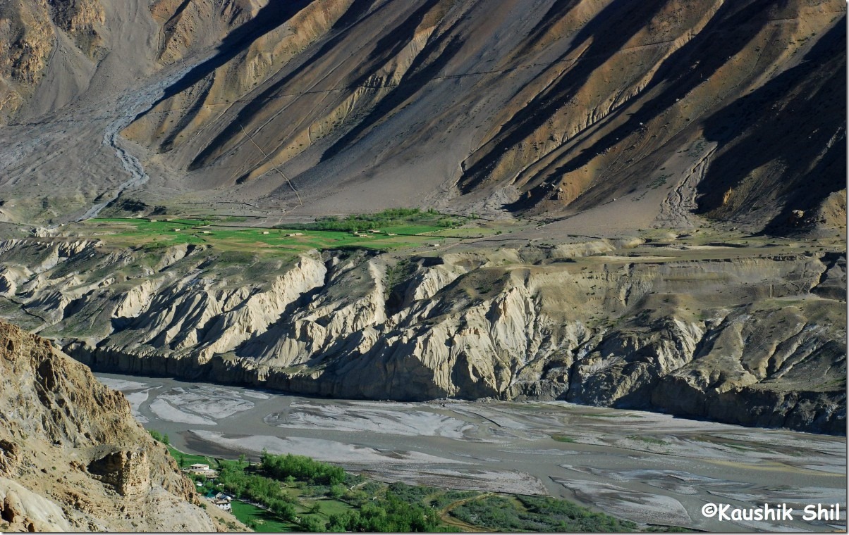
Spiti River Gorge:

DSC_0391

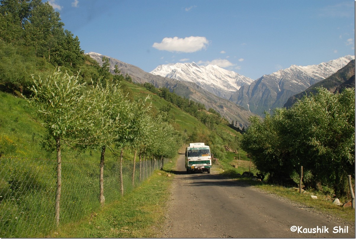
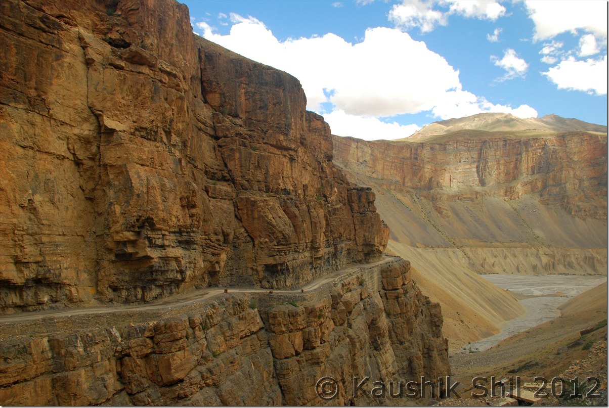
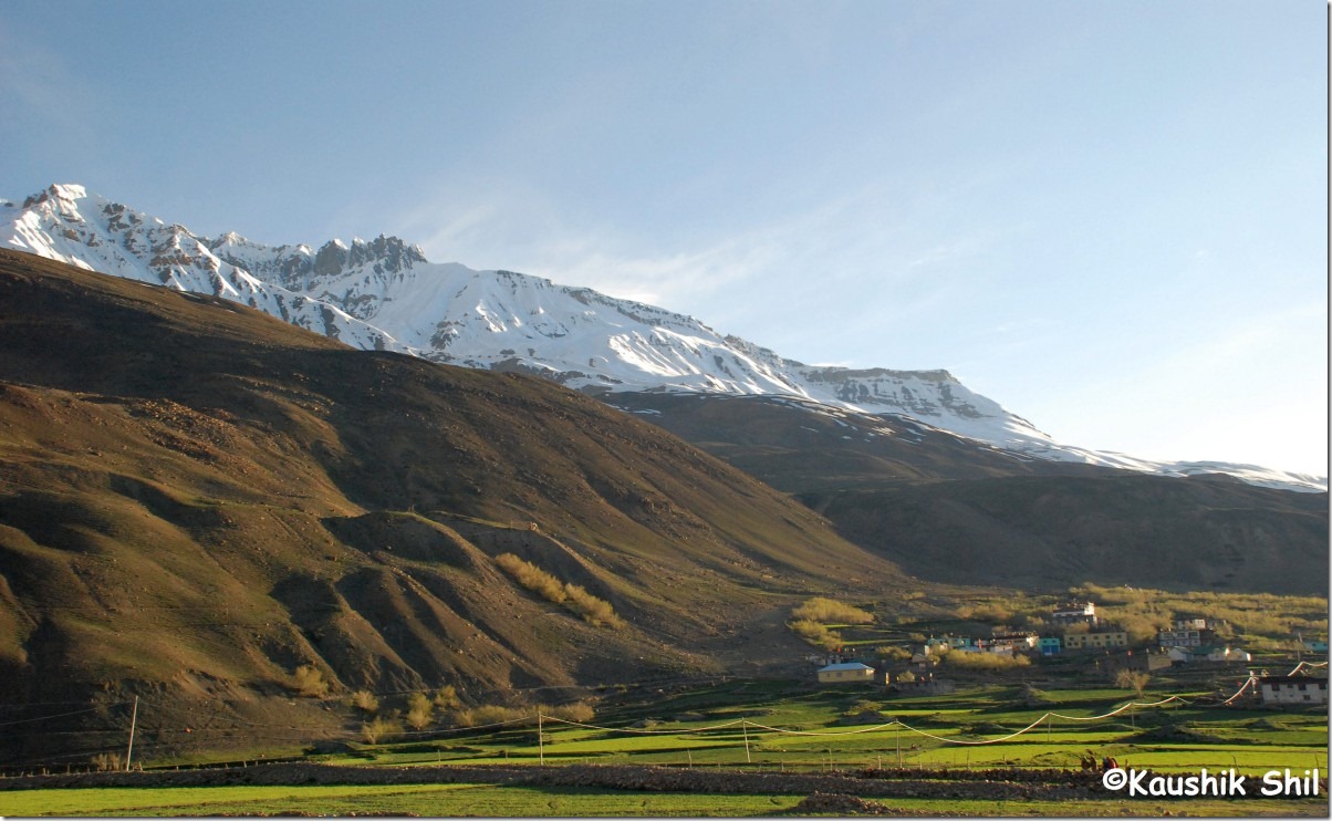
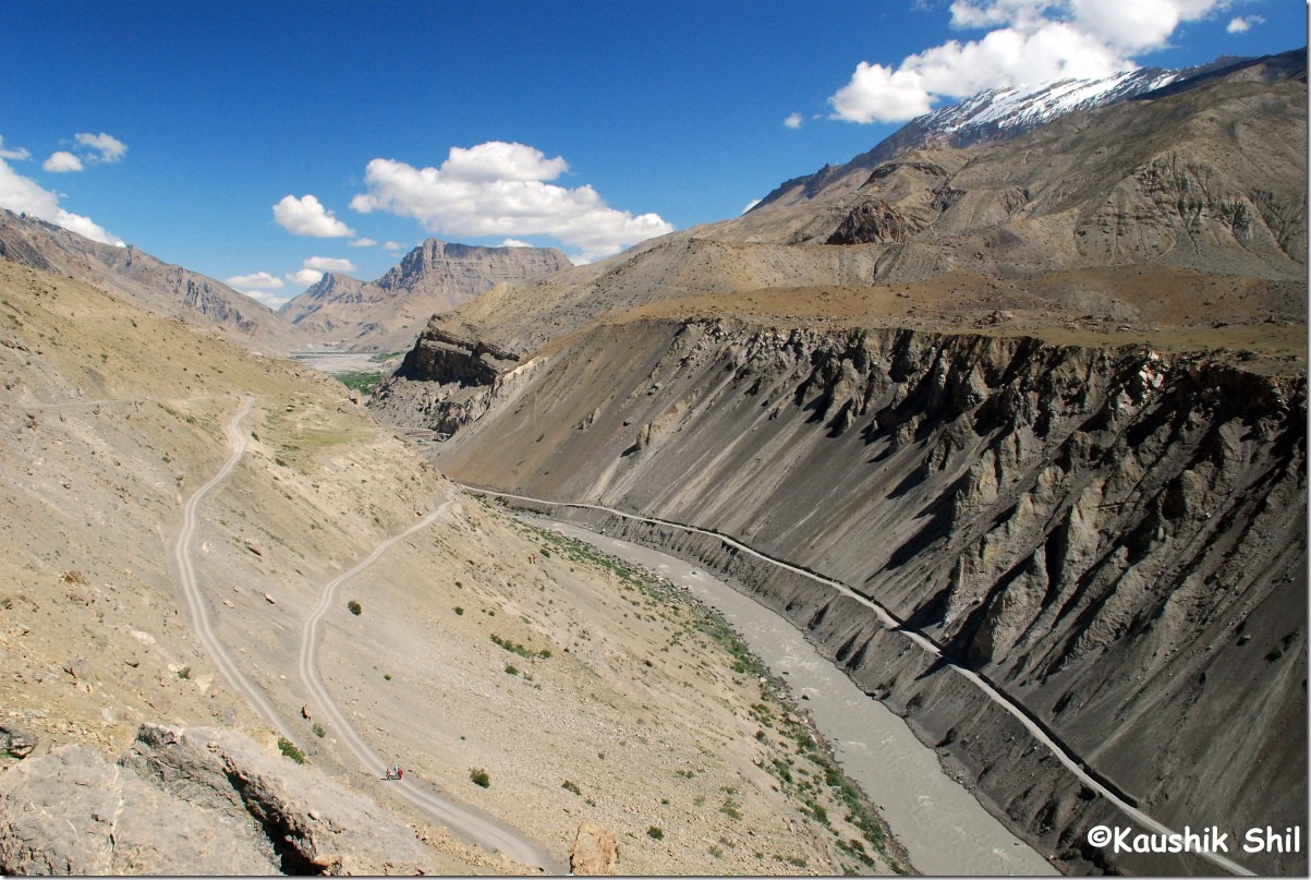
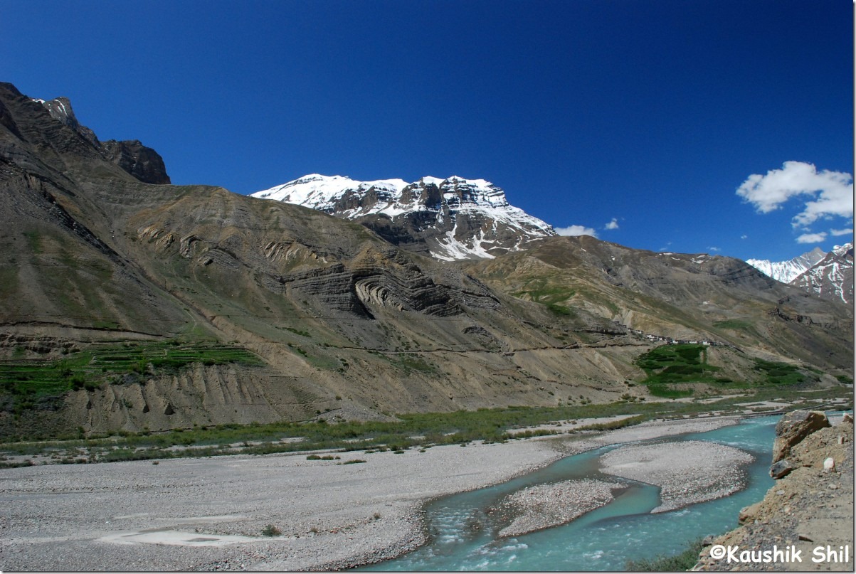
Road to Kaza:

DSC_0392

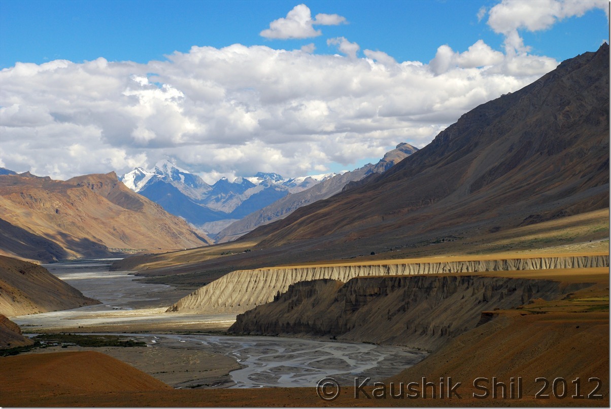
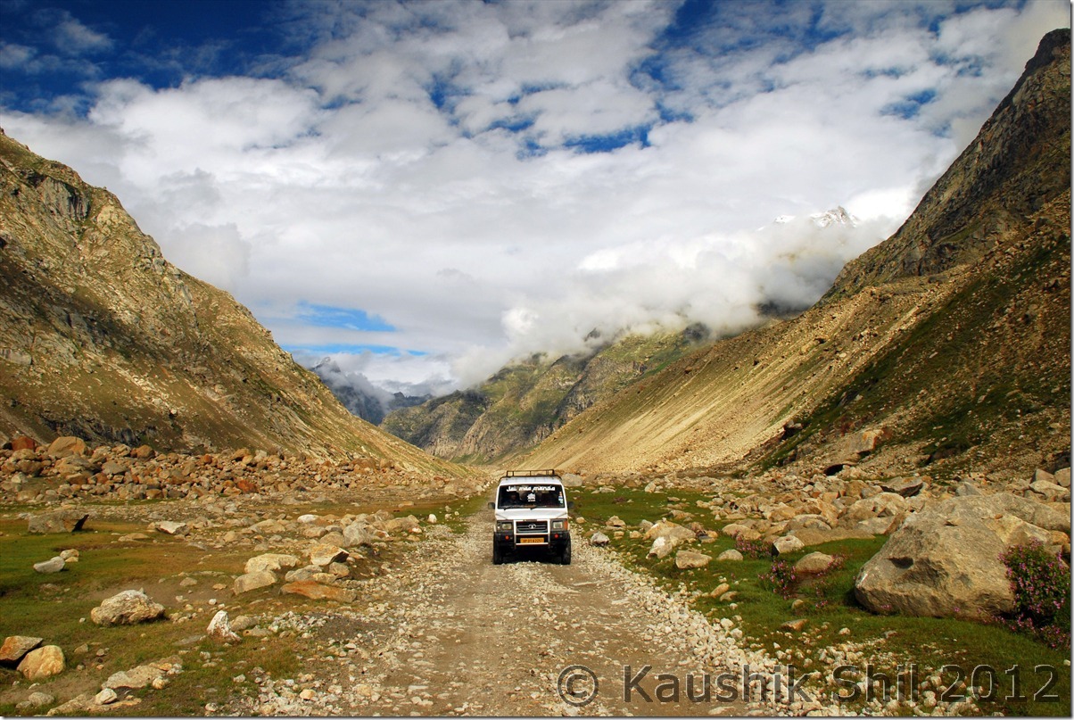
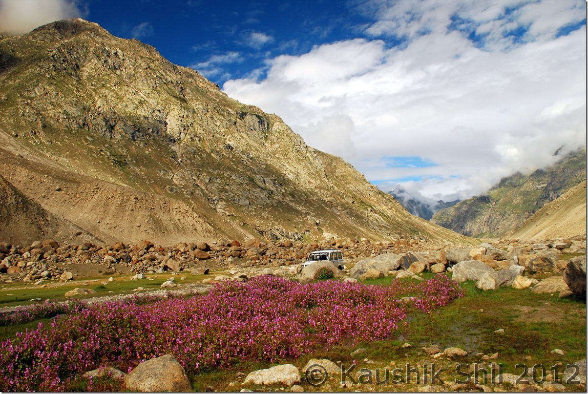
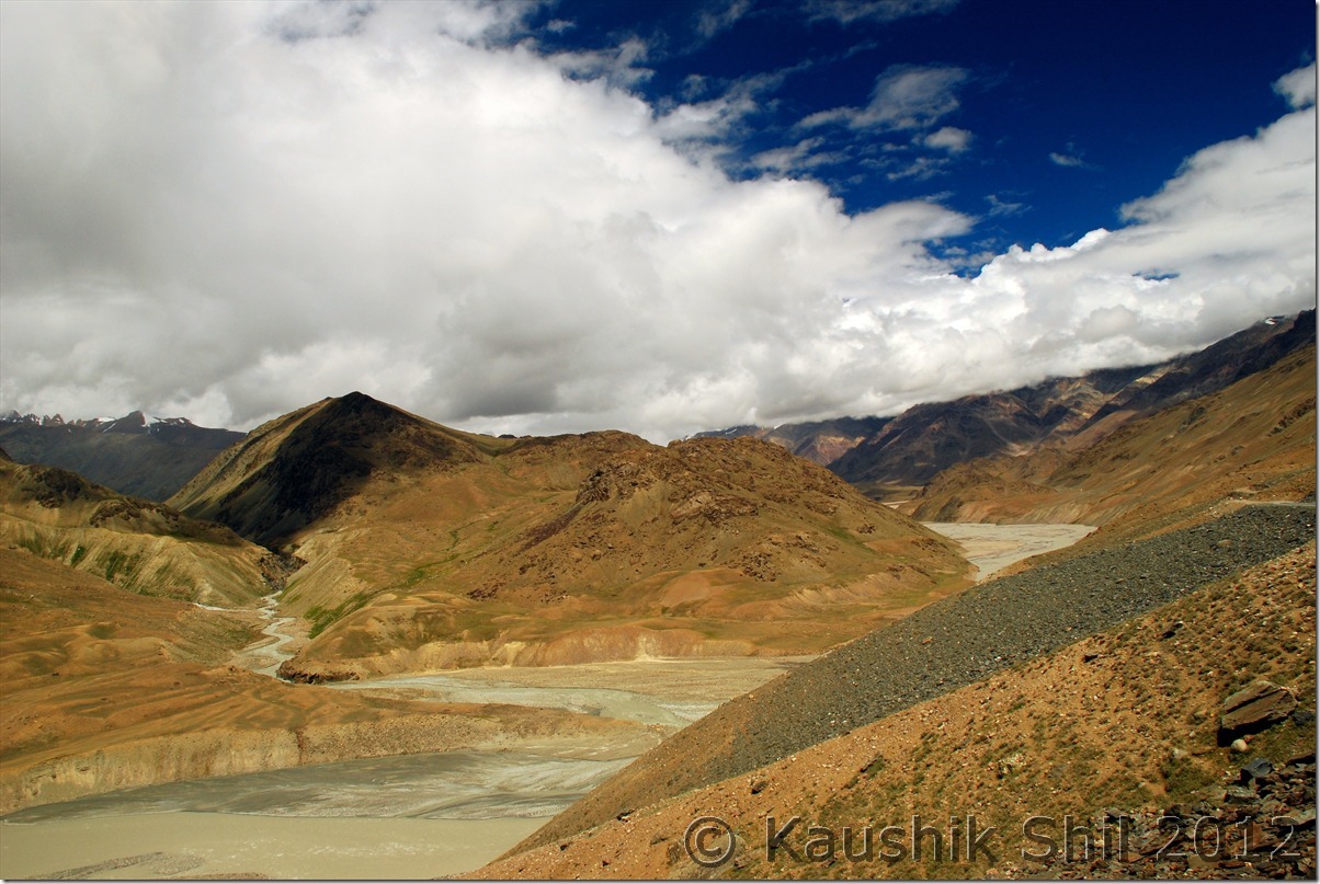
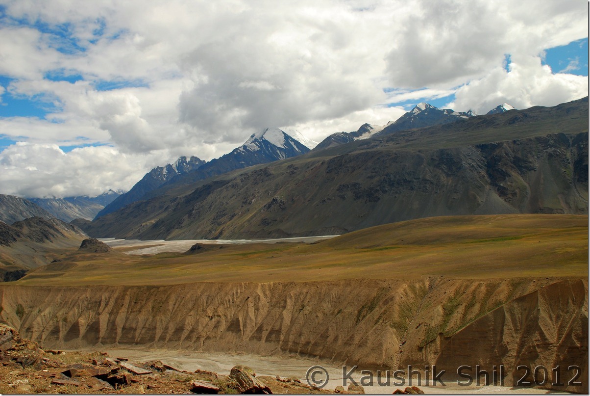
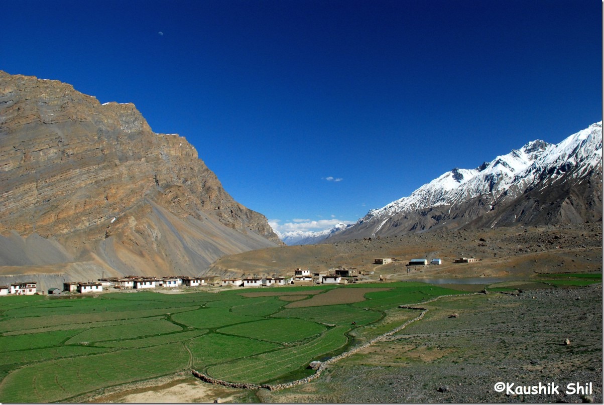
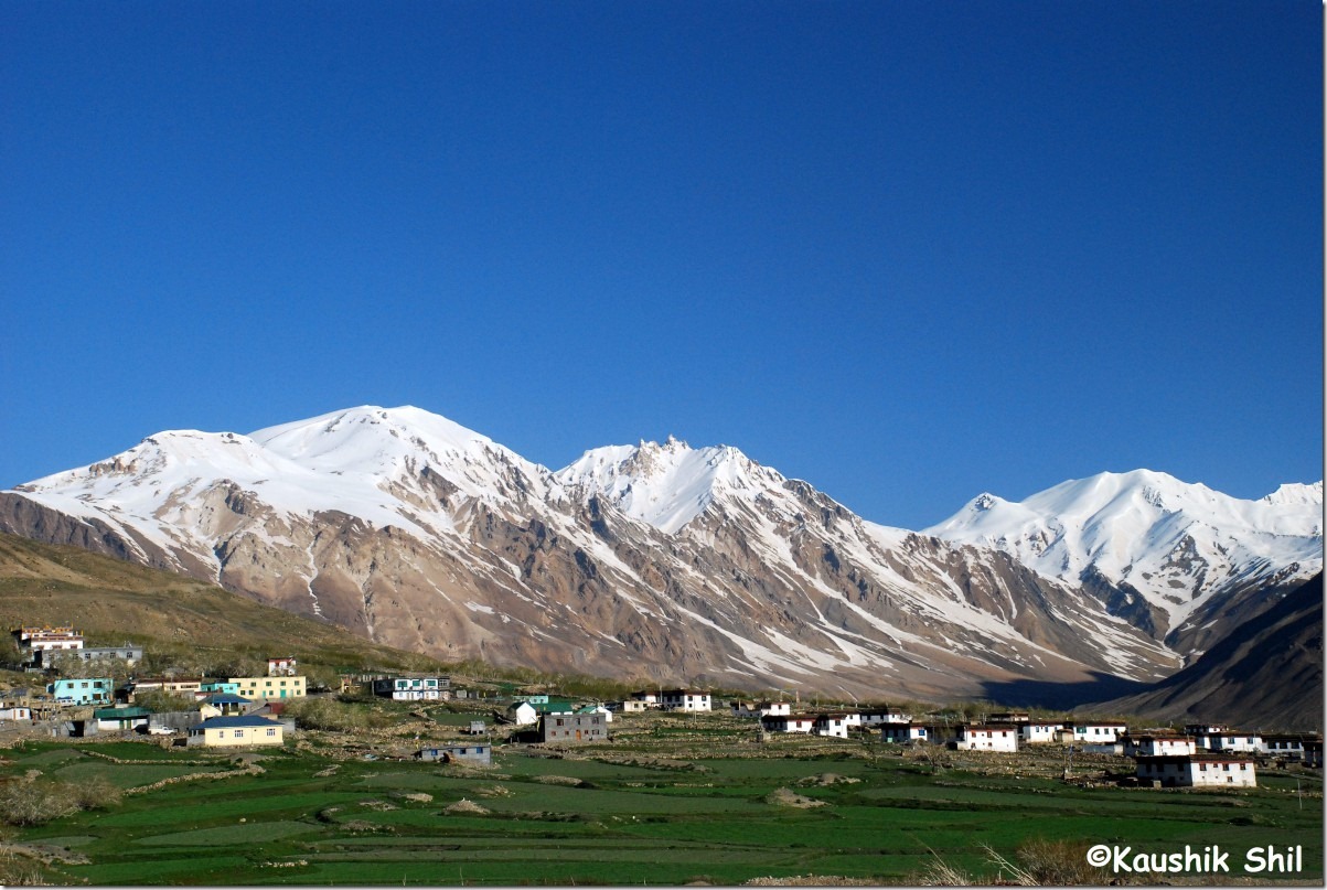
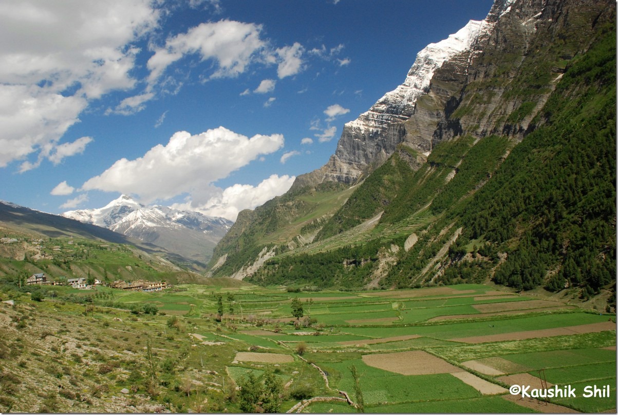
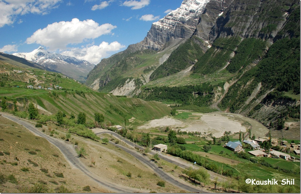
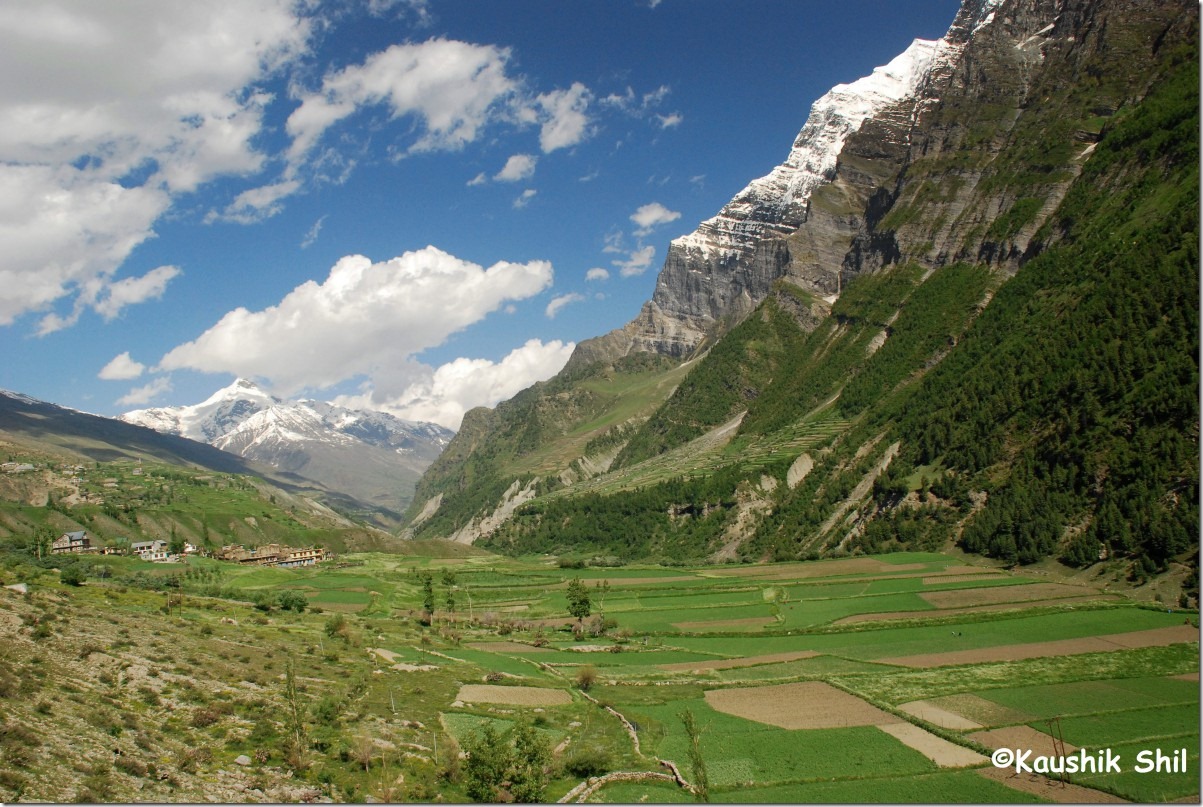
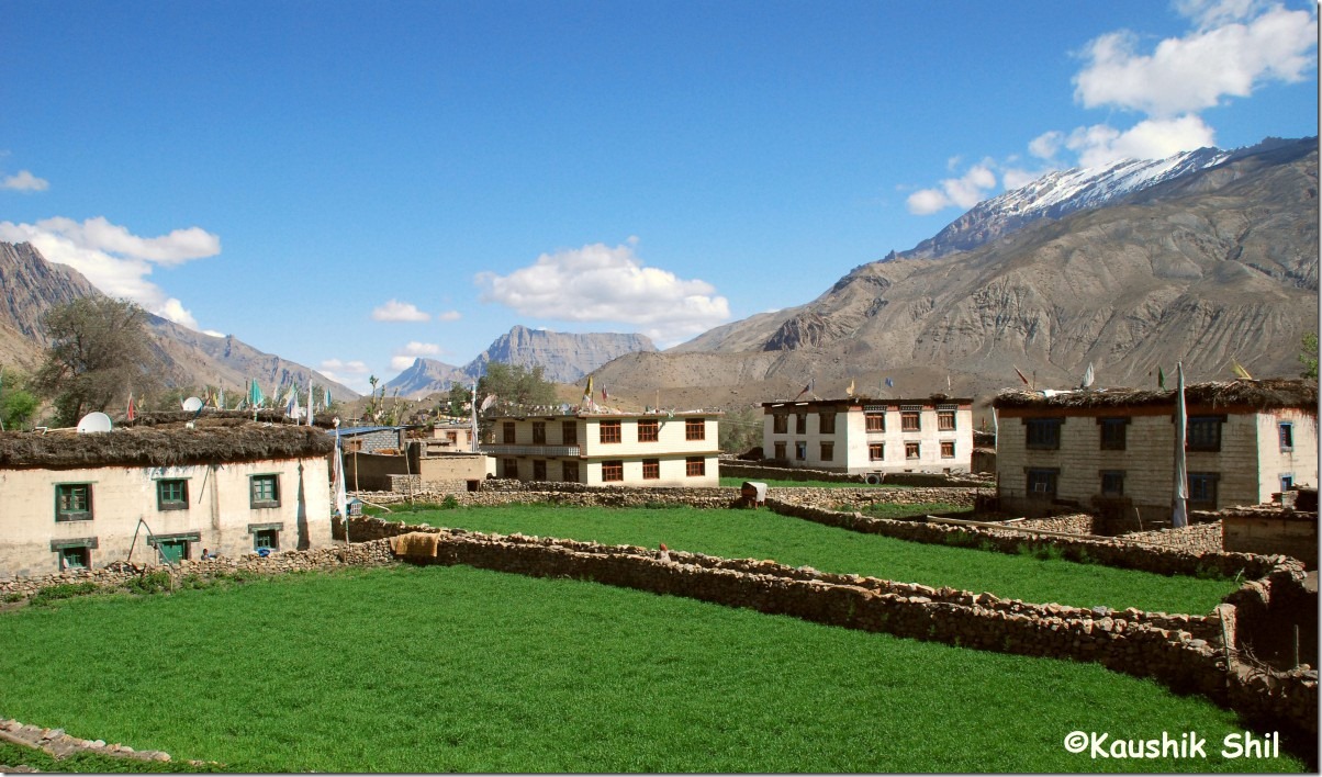
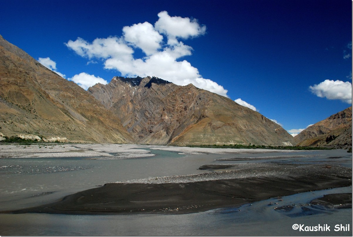
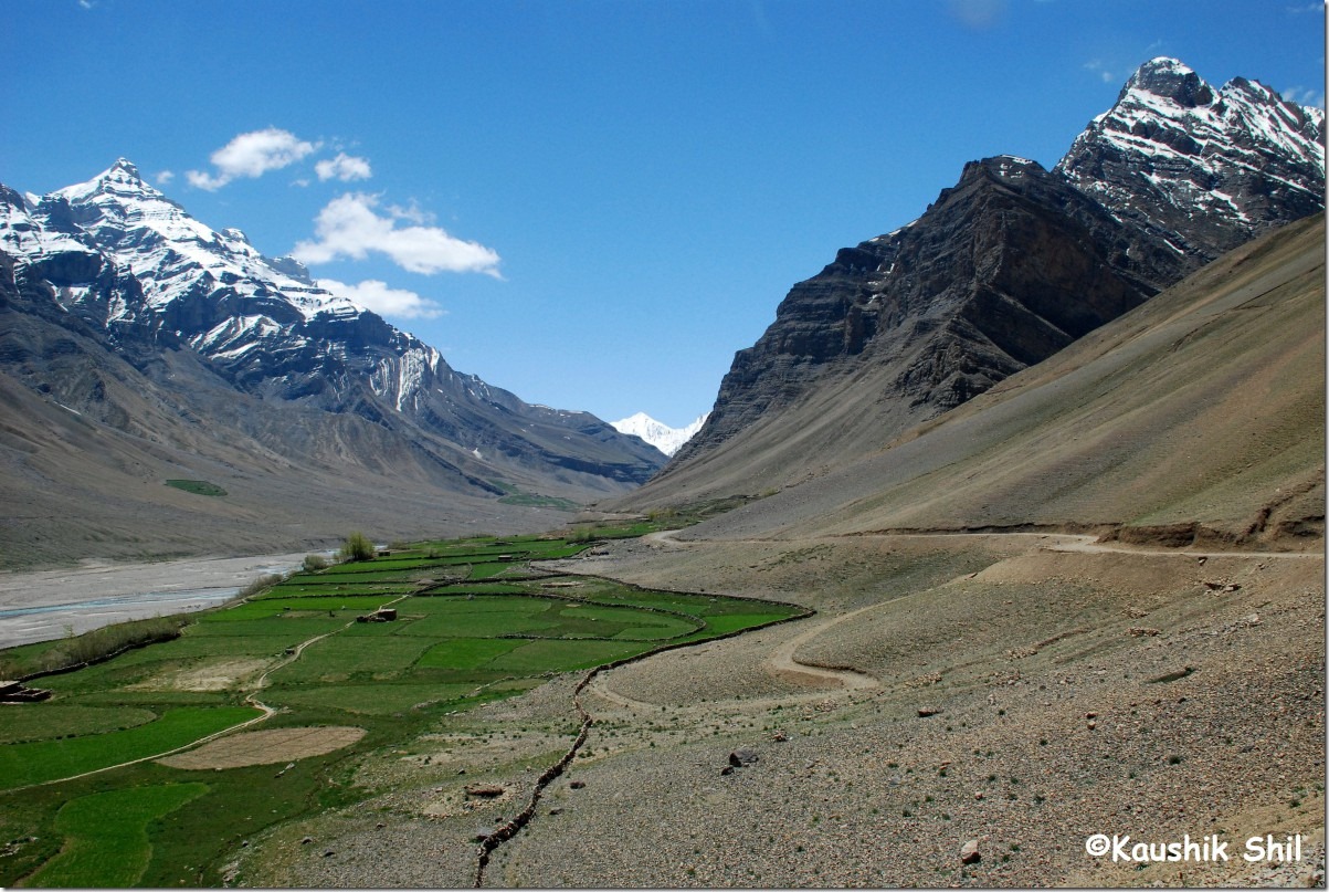
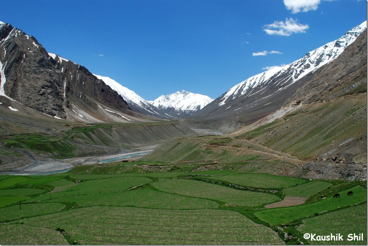
Amazing Landscape Continues:

DSC_0400 DSC_0402

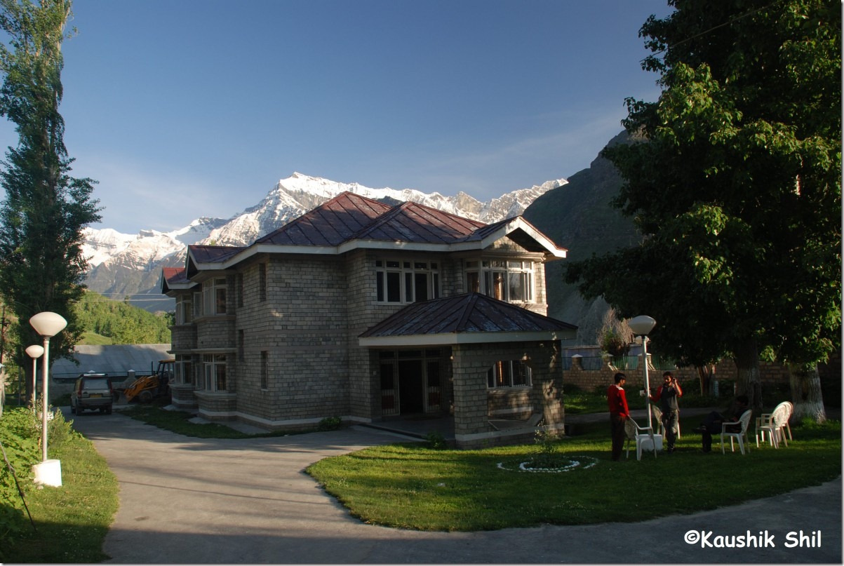
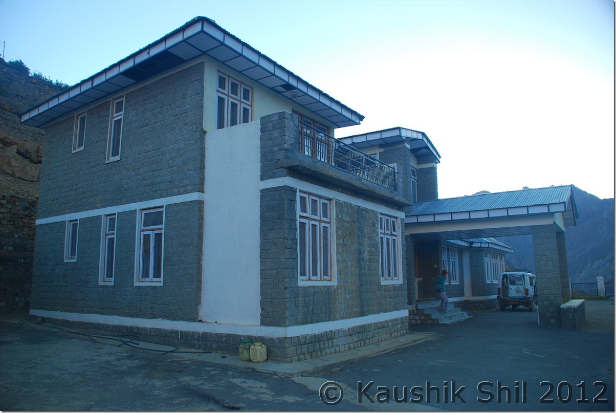
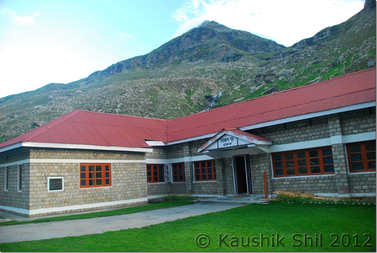
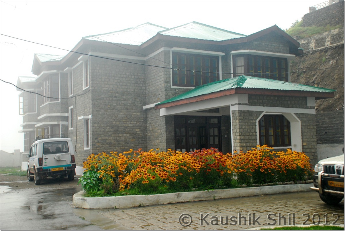
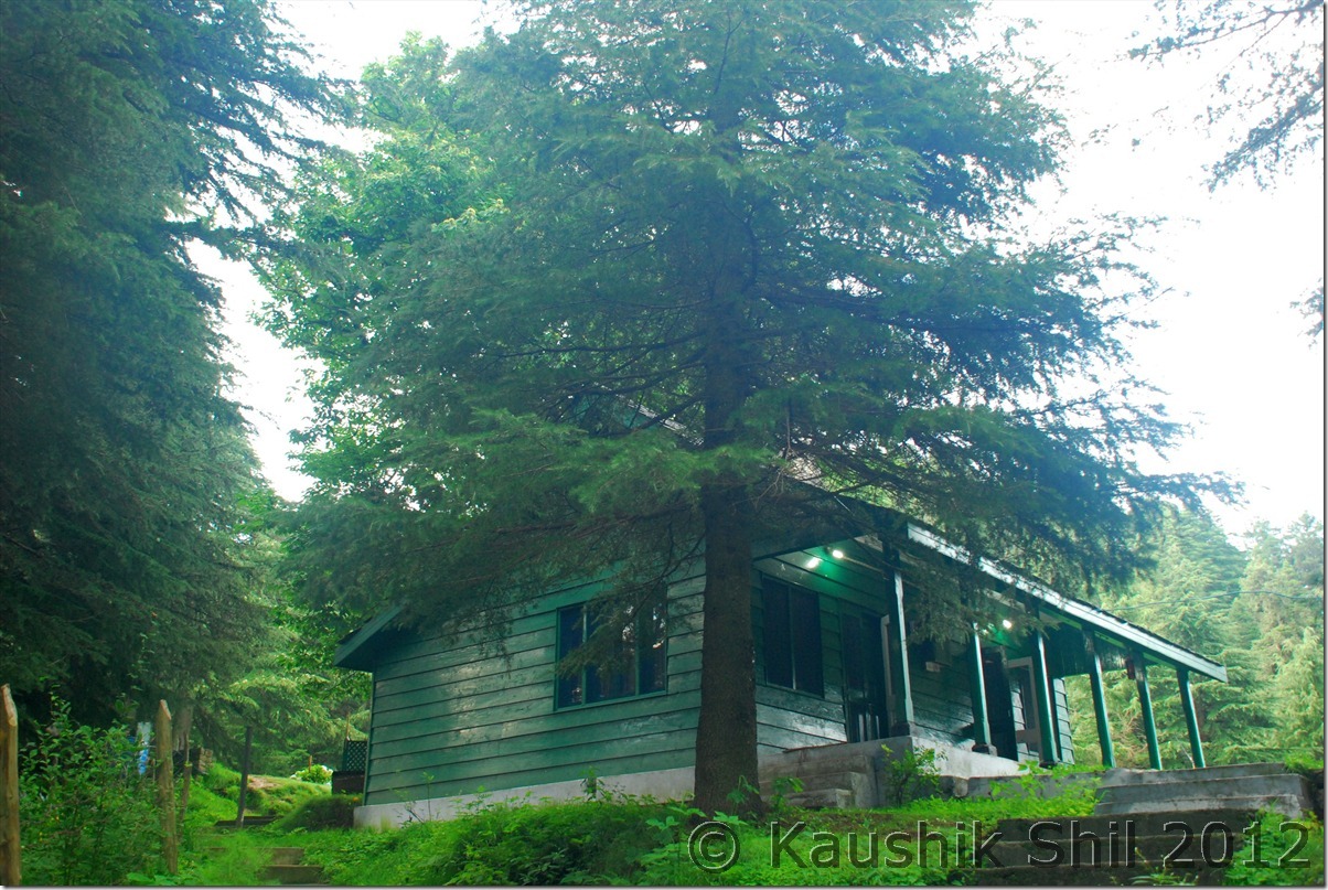
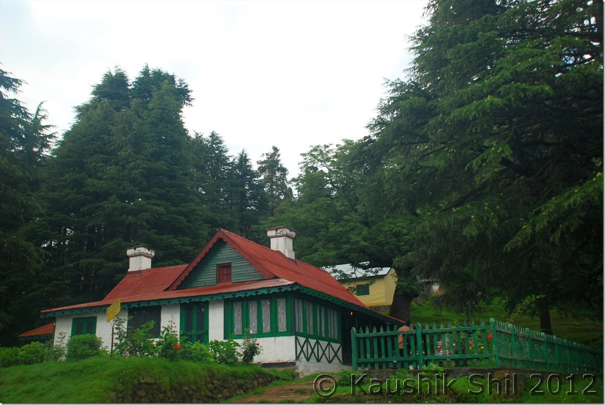
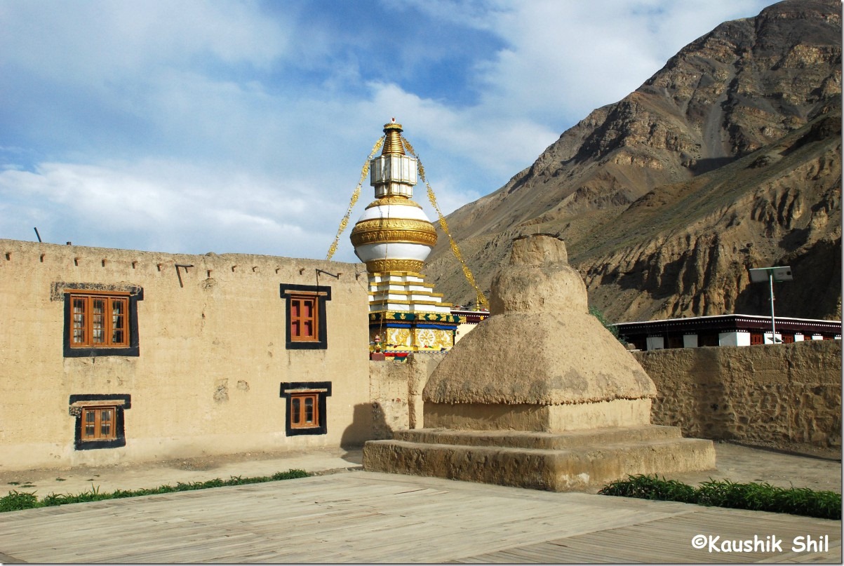
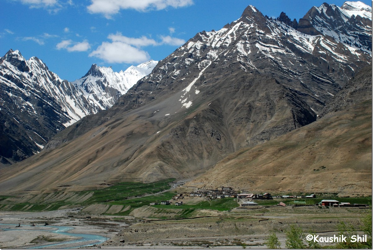
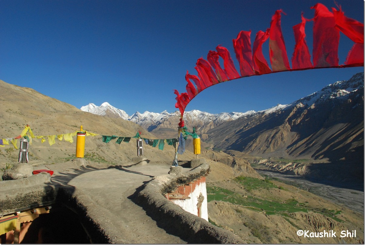
Kungri PWD Guest House:

DSC_0418

Day6, 7 and 8:

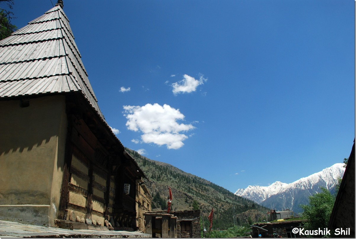
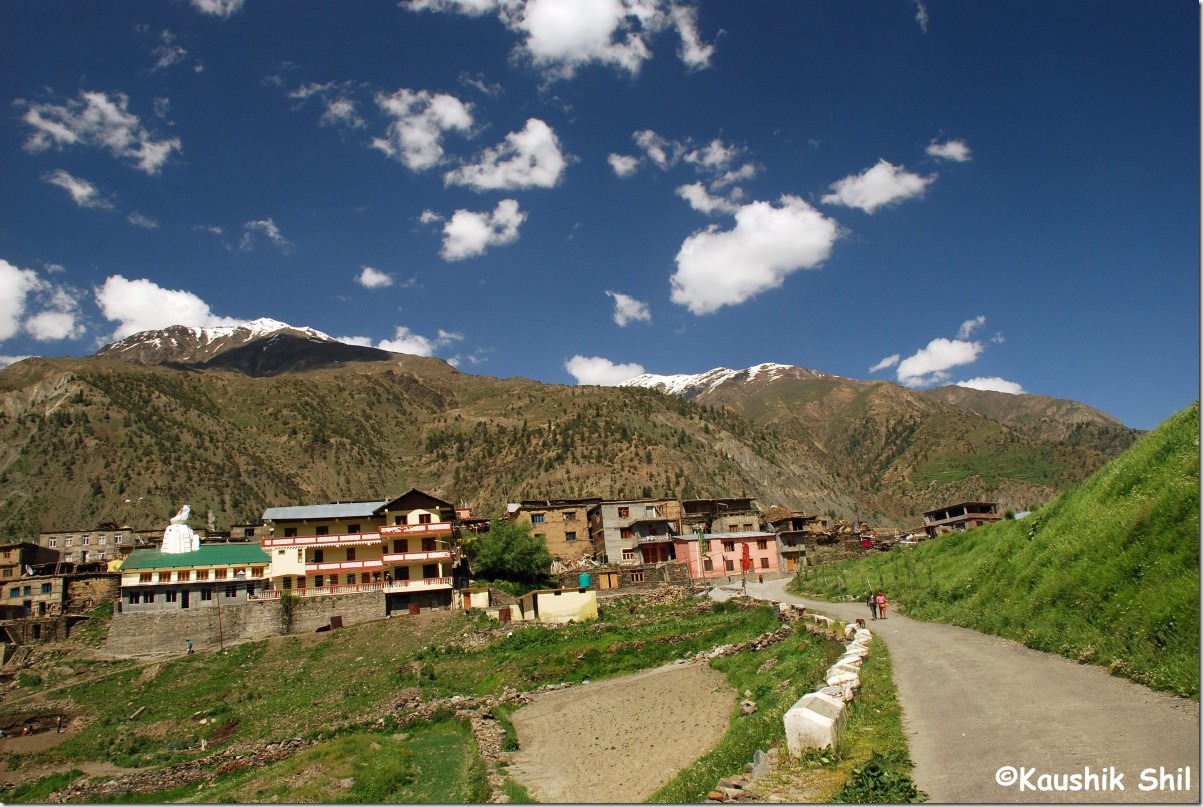
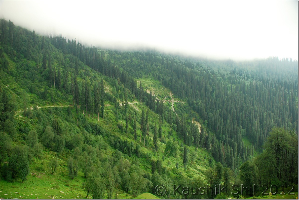
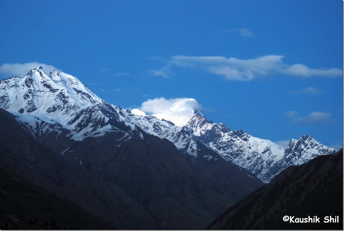
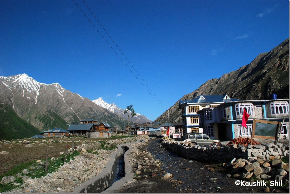
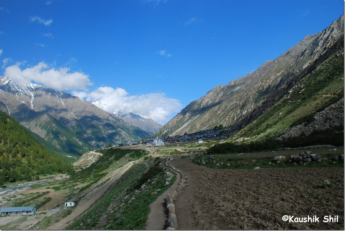
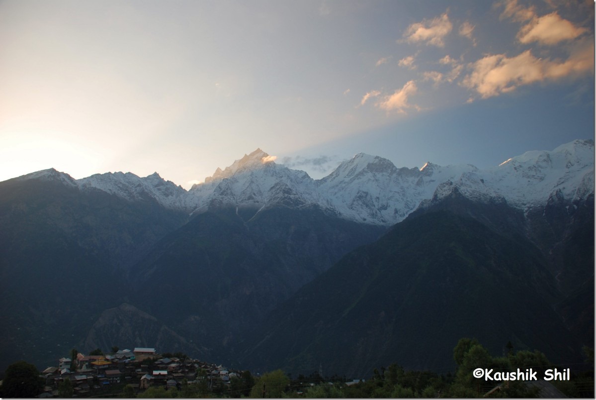
We just drove through the remaining part of Spiti to Kinnaur to Kalka while taking 2 nights halt at Kalpa and Narkanda before catching the Kalka Mail on 3rd Night at 23:55 hours. It was uneventful long drive, more to avoid the messy and unpredictable Rohtang Pass and here are few snaps when I look back.

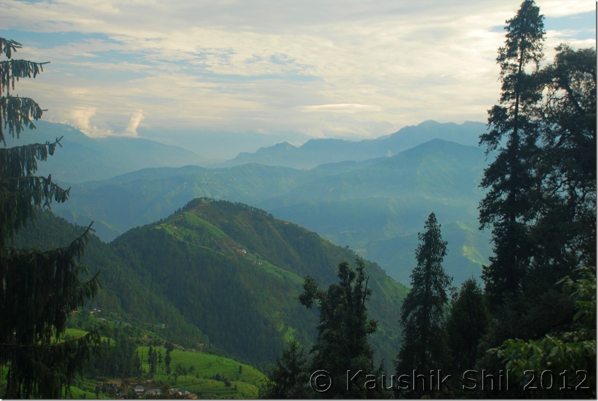
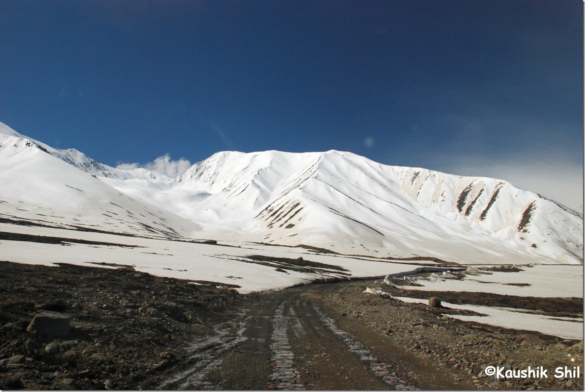
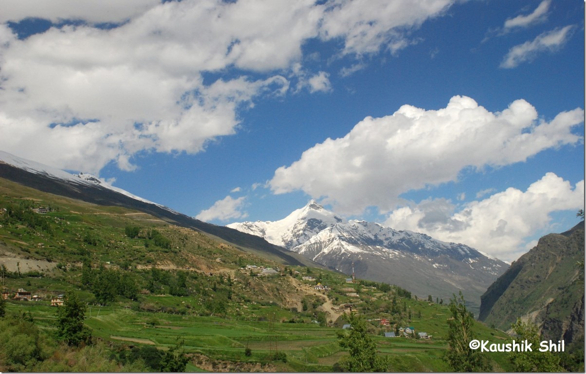
The journey through Kinnaur:

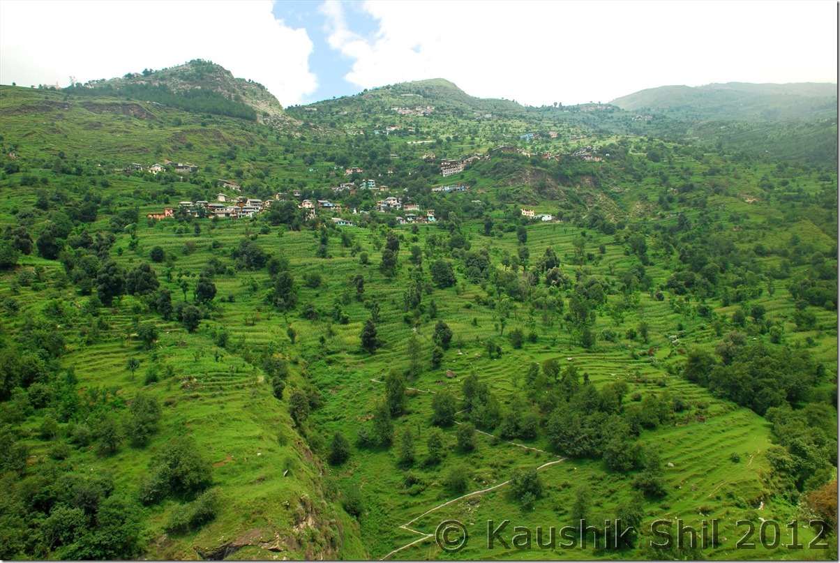
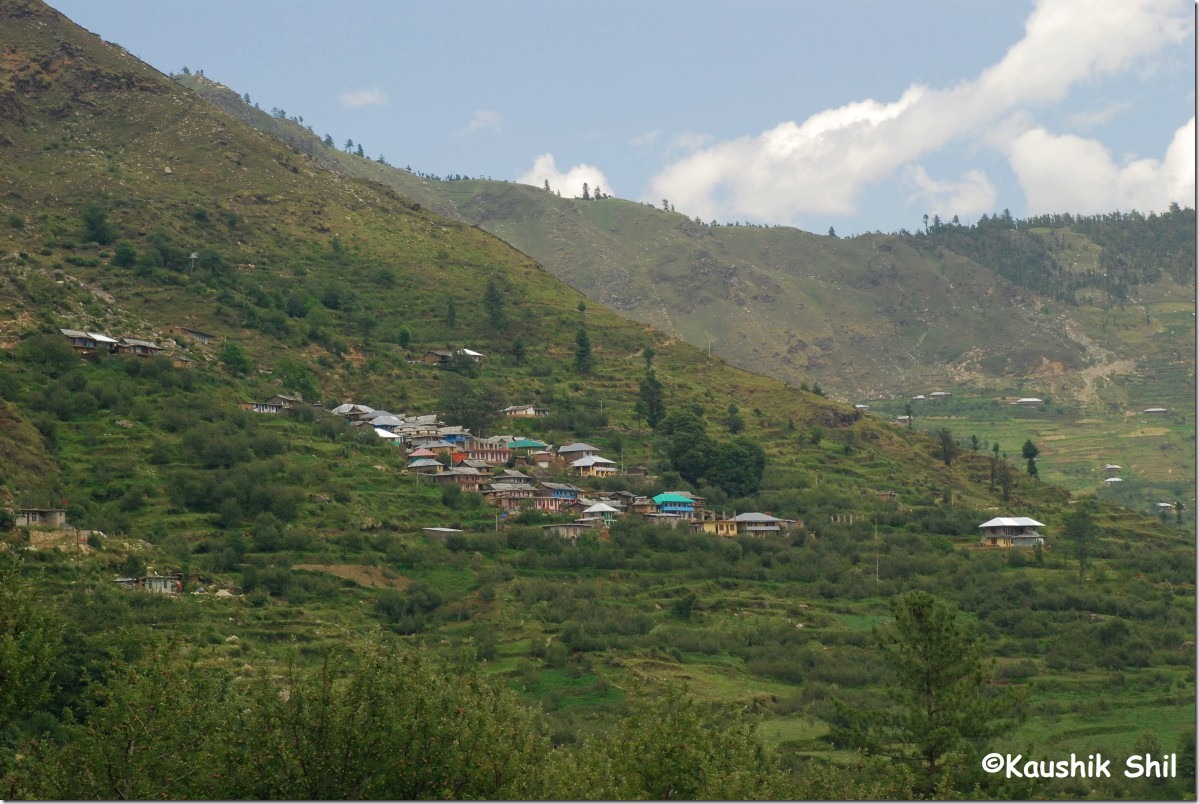
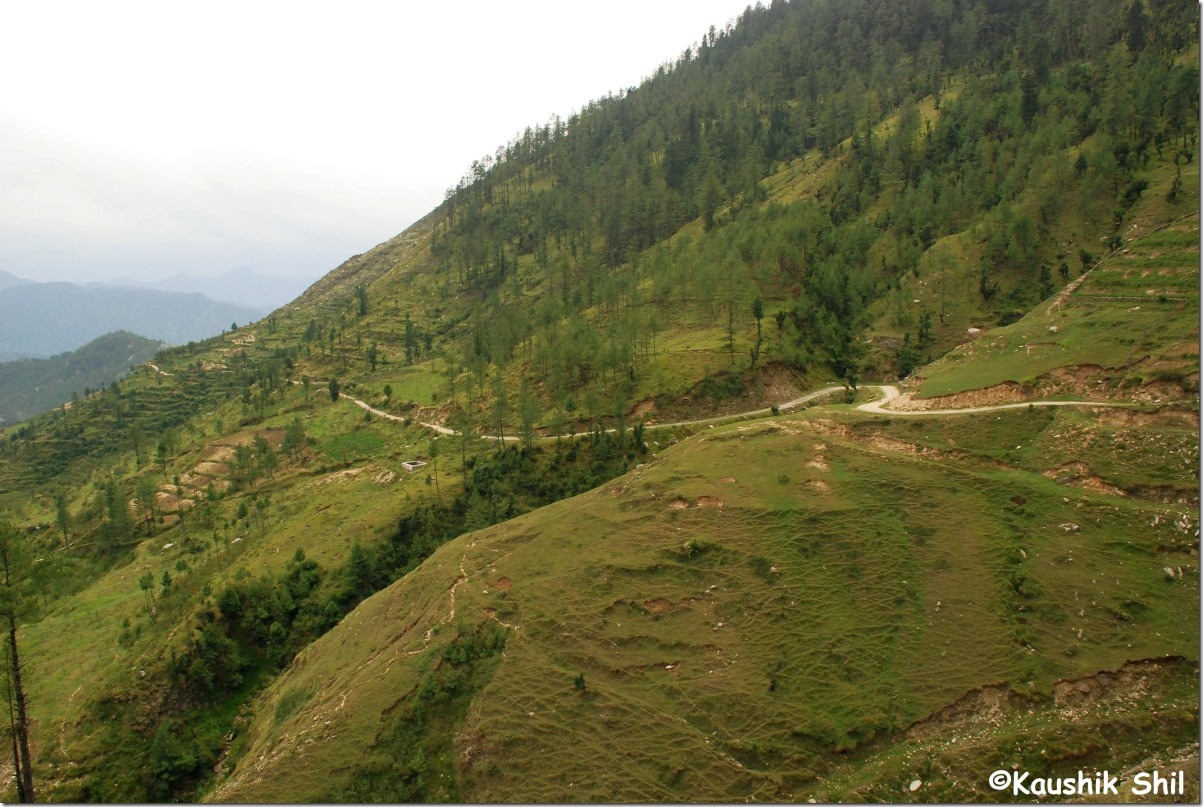
DSC_0458

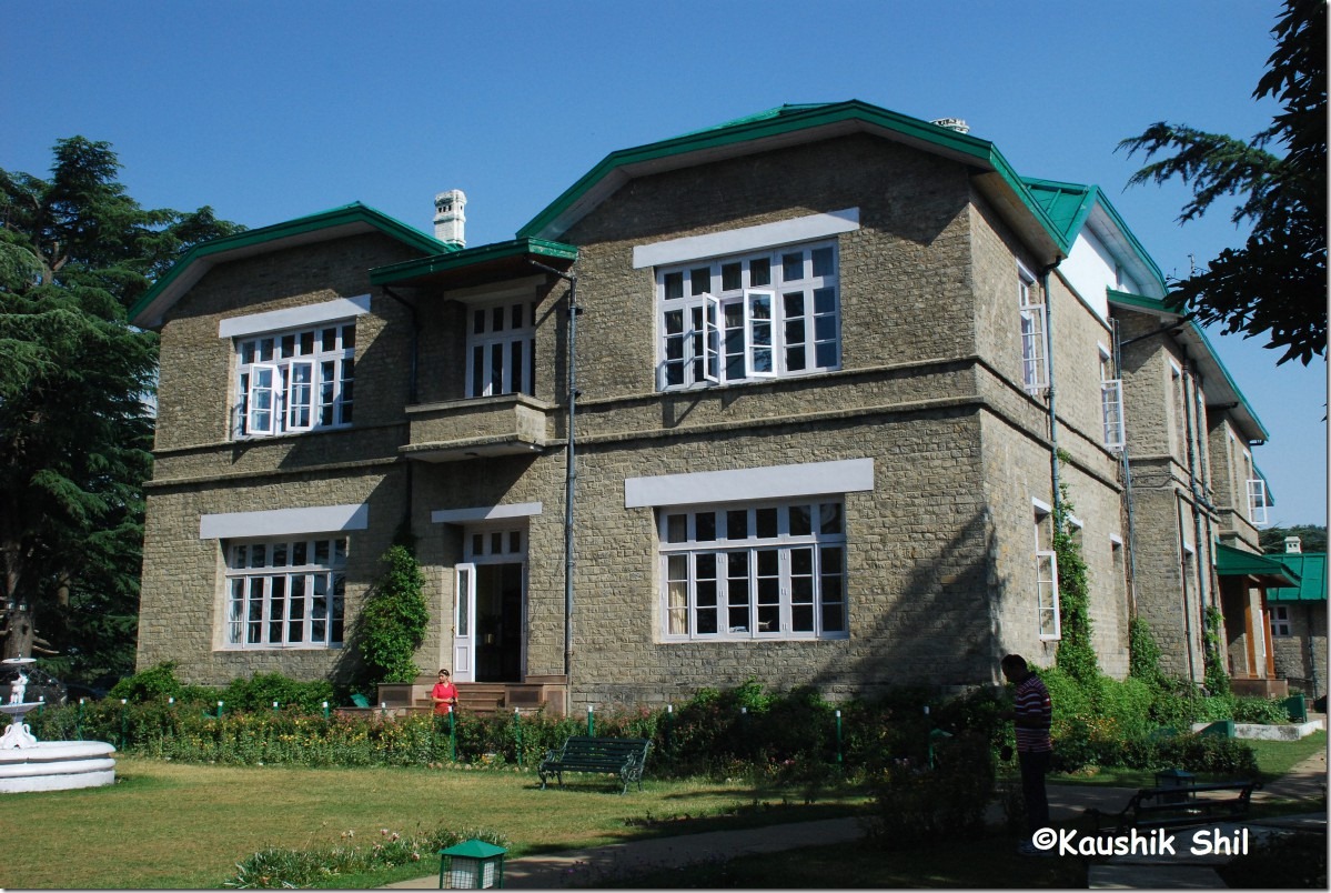
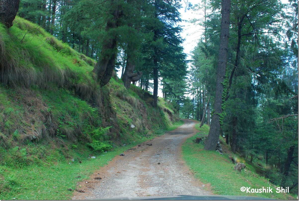
Narkanda Forest Rest House:

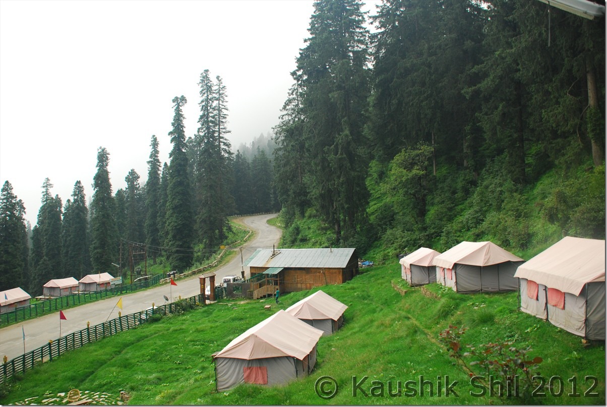
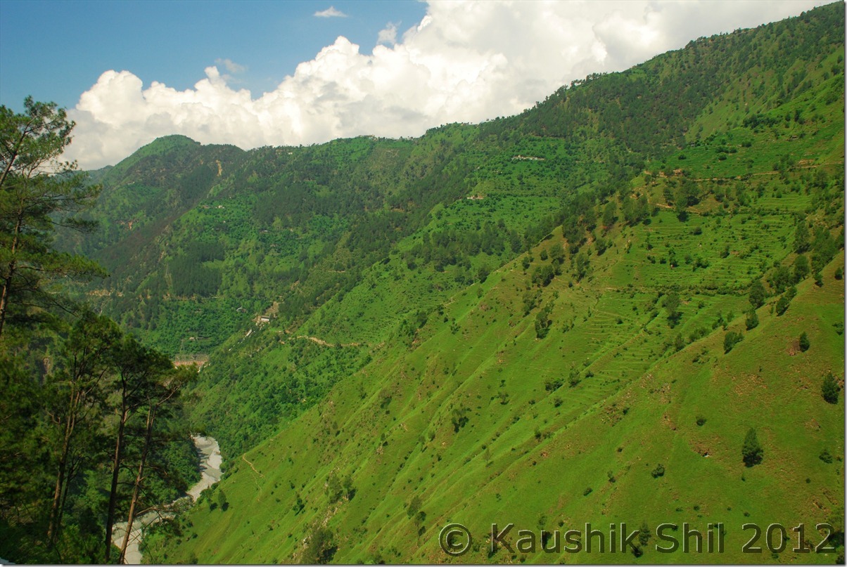
DSC_0479

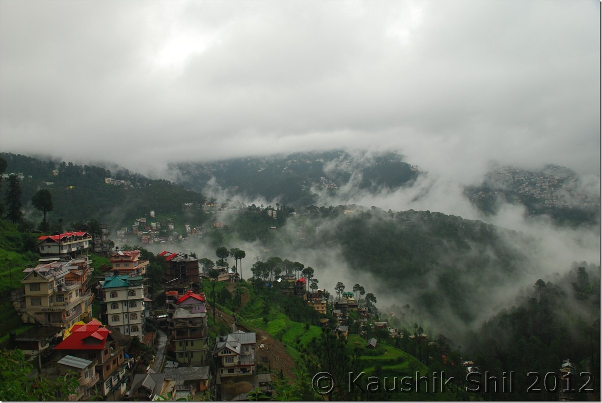
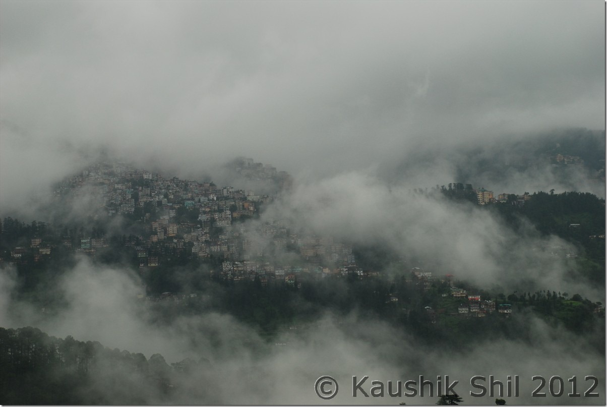
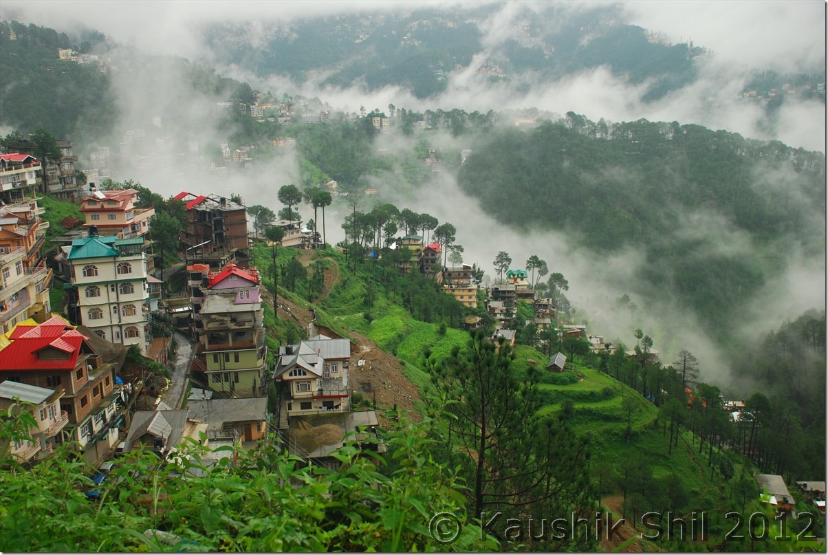
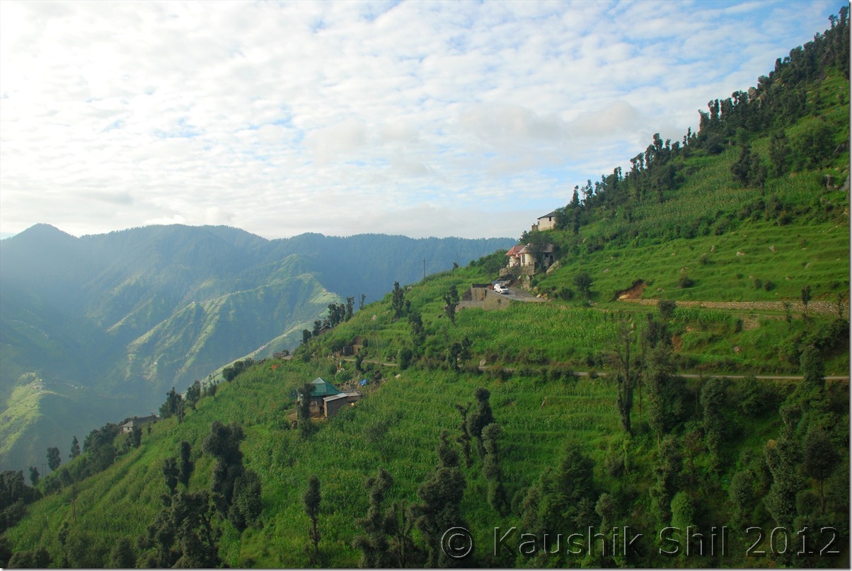
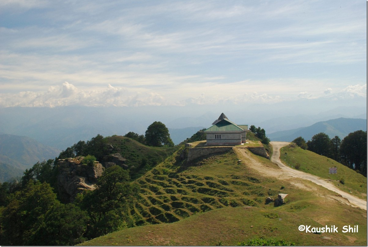
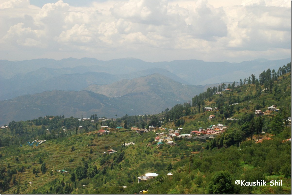
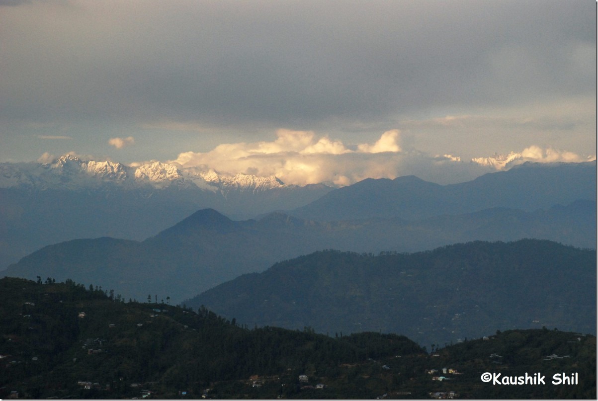
Shimla with Monsoon Clouds:

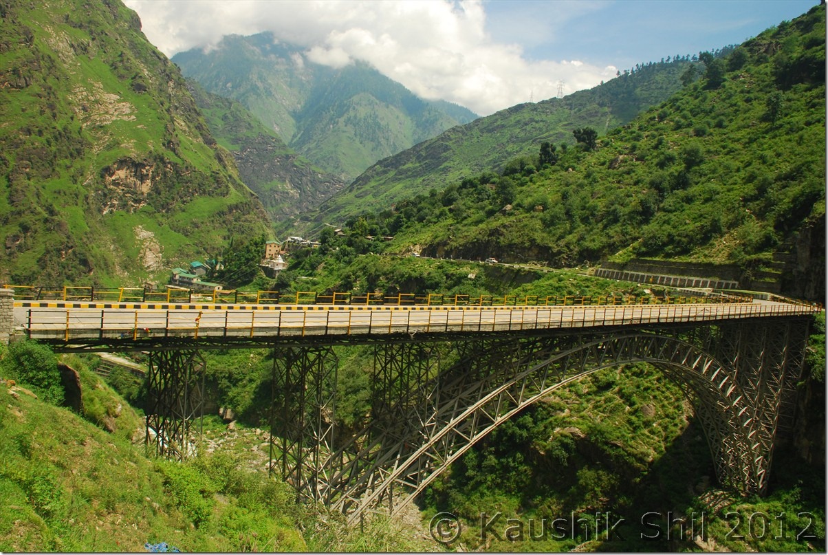
DSC_0494 DSC_0495 DSC_0497

Previous: Himachal Pradesh – Gramphoo, Batal, Chandratal

The End

Himachal Pradesh – Gramphoo, Batal, Chandratal

Day4:

Now the most wonderful part of the journey began from Gramphoo onwards as we took the left fork and started moving towards Batal via Chatroo and Chotadhara. The mountains and landscape start turning barren gradually as we crossed Chotadhara. Batal is a place infamous for chill and wind. From here after couple of km of road towards Kunzum pass there is a left fork on motorable road that would take you to Chandratal. The interesting part is we stopped at Batal for a cup of tea at chacha chachi’s shop but there incidentally we came across a couple of bikers who told us specifically that there are 4 tents this year in Chandratal, out of which 2 are 4 km away from lake where as other 2 are just 500mtrs away. When we enquired more a gentleman sitting aside told us, he could take us to one such camp which is close to Chandratal. Now when we started chatting, we found he was none other than Jamaica of BCMT who is very active in Spiti forum. So good friends found, we proceeded towards Chandratal through a narrow road keeping Chandra river at your left. You would acknowledge the height when you reach Chandratal as every step would make you feel tired especially if you are not well conditioned in that height. Next what we have seen, experienced couldn’t be expressed in words, at least beyond my vocabulary, so let’s stop talking and put some snaps to share with you all.

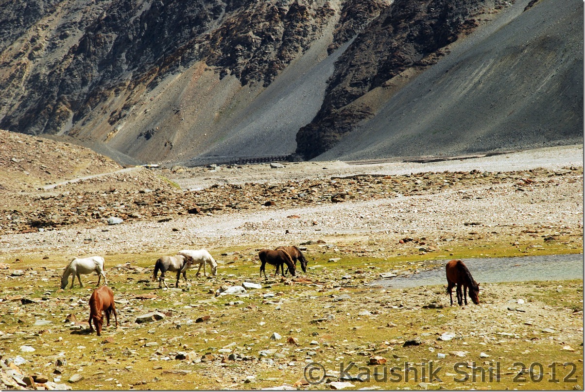
Landscape started turning Barren, approaching Spiti:

DSC_0234

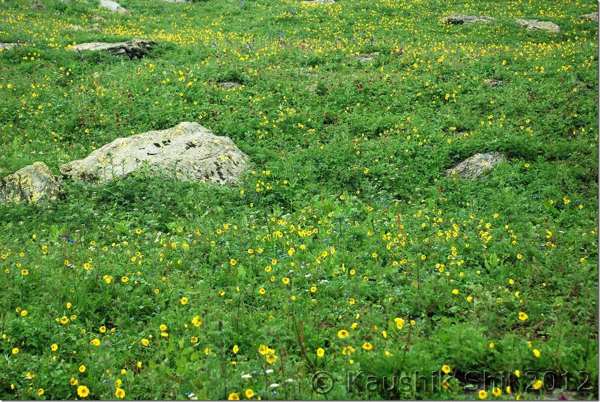
Wild Flowers in August:

DSC_0235

Another lovely landscape:

DSC_0245

Unstoppable Chandra River:

DSC_0247

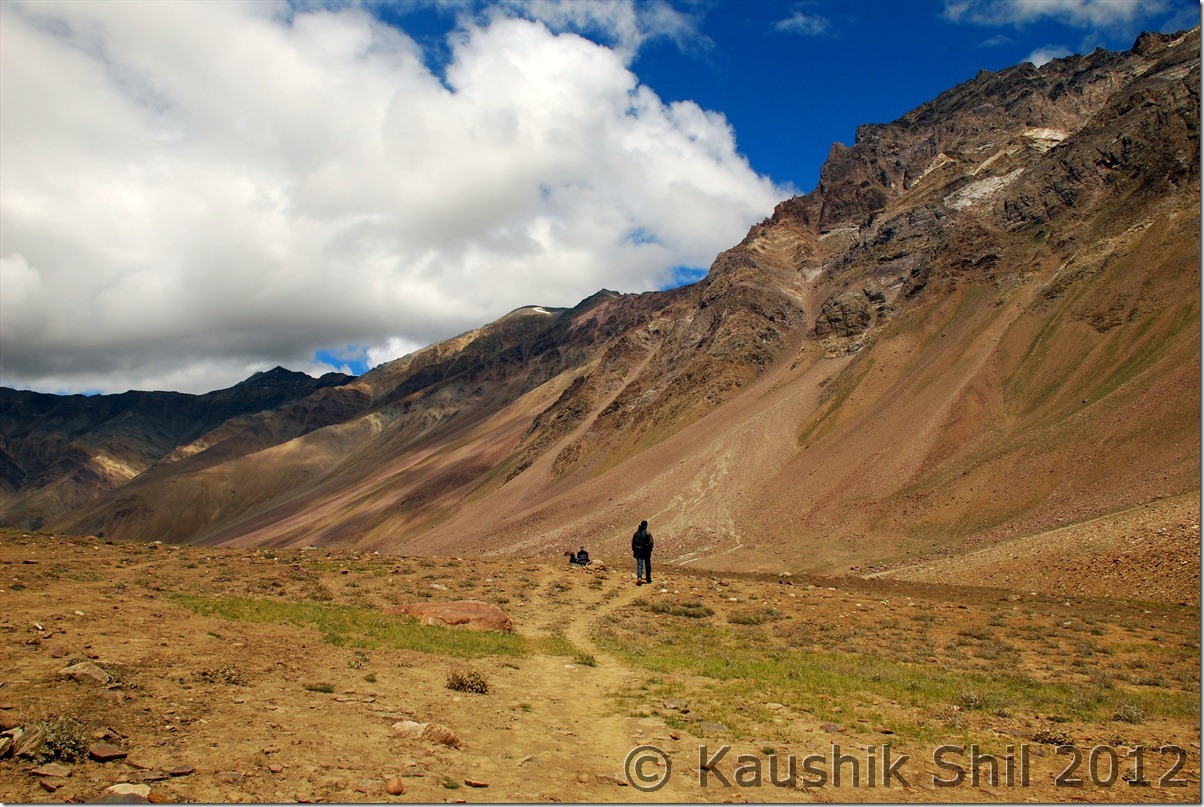
Typical Spiti Scape:

DSC_0249

Road towards Chandratal:

DSC_0255

Loneliness:

DSC_0258

Trek Group coming from Baralacha:

DSC_0259 DSC_0261

First Glimpse of the Magic Lake:

DSC_0263

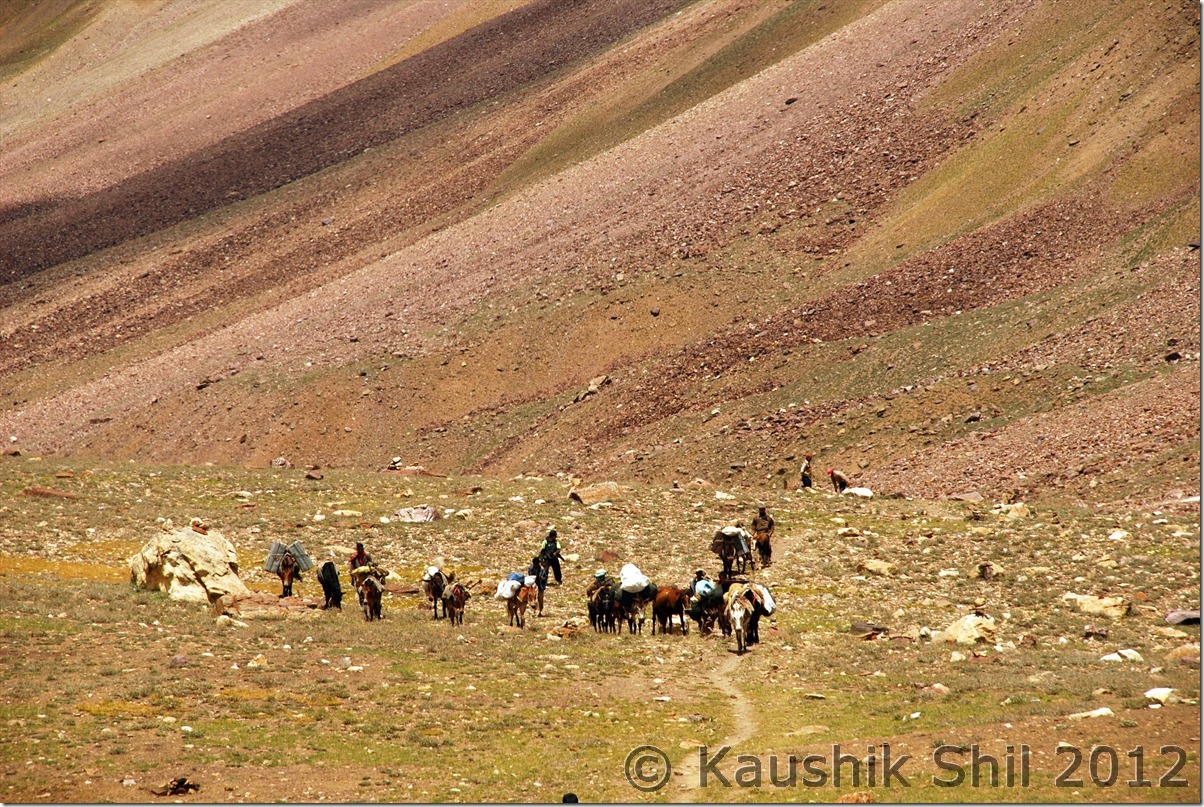
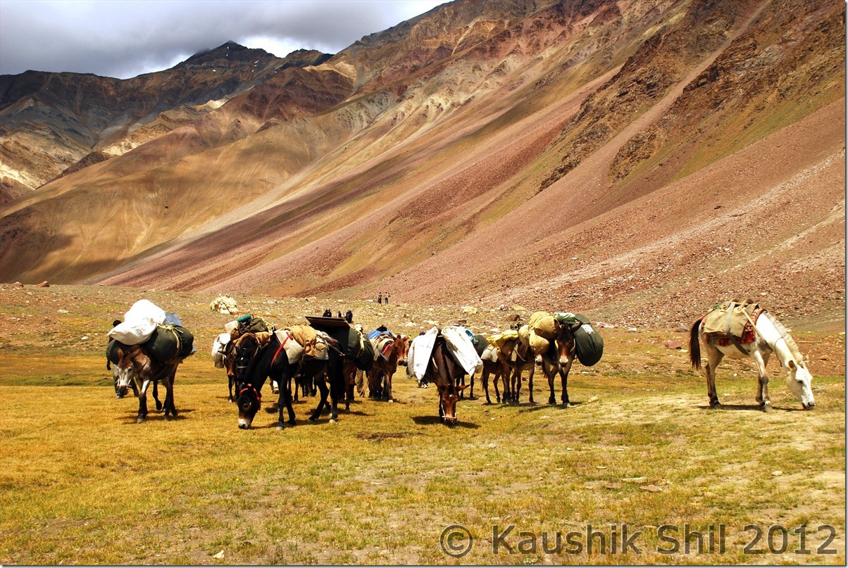
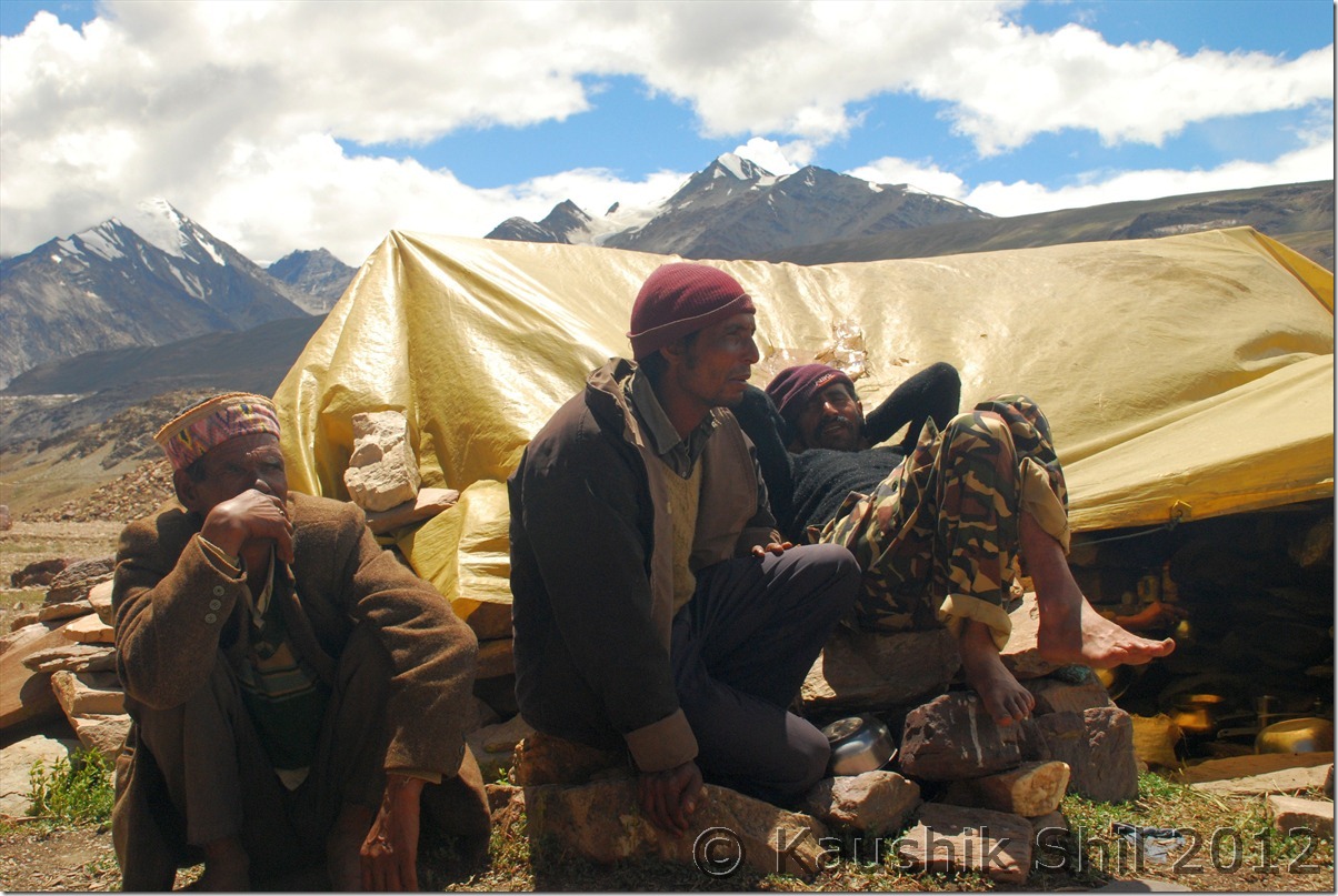
Meeting the Nomads, they were supposed to start their 2 months long journey to Dharamsala by another couple of days:

DSC_0264

Warm welcome with a cup of hot tea:

DSC_0267

Magic Moments with the Magic Lake:

DSC_0269 DSC_0273 DSC_0274 DSC_0275 DSC_0281

Life is a box of chocolate or a pack of ….. 🙂

DSC_0284 DSC_0288

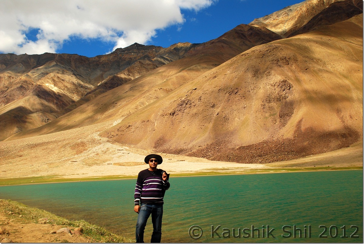
What an amazing background to have a snap:

DSC_0296

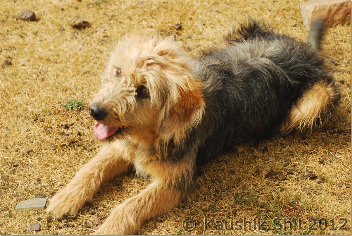
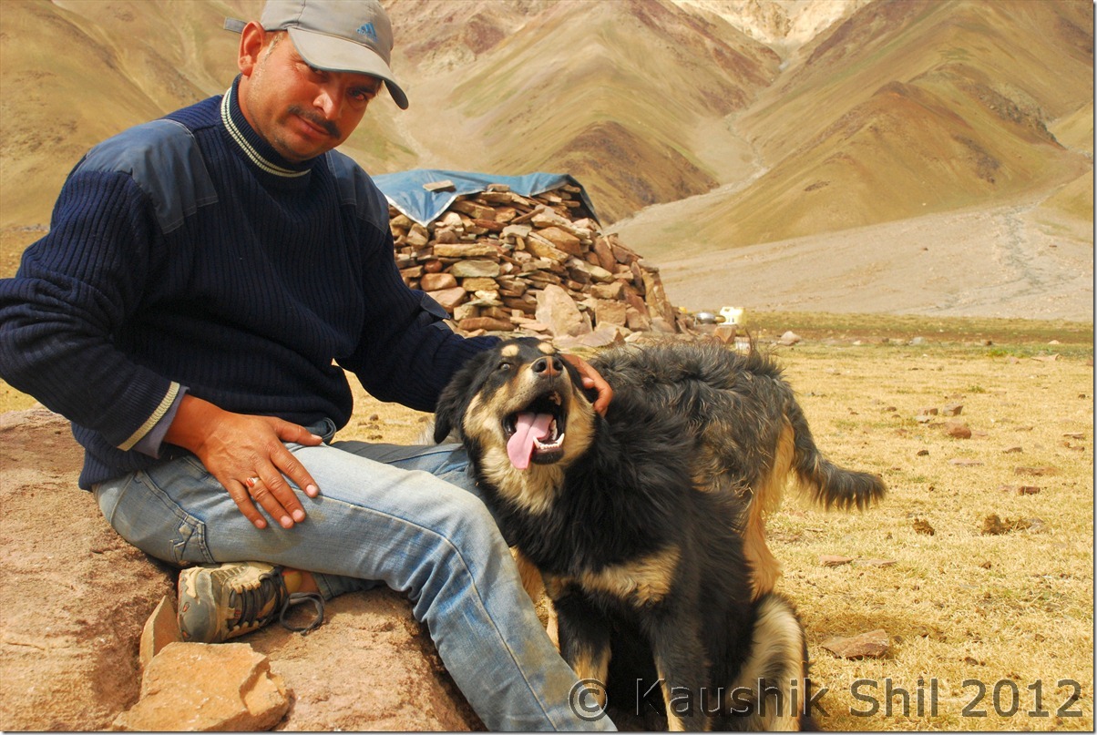
The pretty dog:

DSC_0301 DSC_0313

Magnificent Vista:

DSC_0308

Previous: Himachal Pradesh – Pangi Valley, Pattan Valley, Lahaul Valley, Journey from Killar to Khoksar

Next: Himachal Pradesh – Chandratal, Kunzum Pass, Kungri, Drive Back to Shimla

Himachal Pradesh – Pangi Valley, Pattan Valley, Lahaul Valley, Journey from Killar to Khoksar

Day3:

We knew that a wet weather system would set for 14th and 15th in the region and mentally prepared for a wet day ahead. It was as expected started with showers and visibility was quite low.

We have progressed 550 odd km in such a terrain in 2 days, a good achievement.

DSC_0180

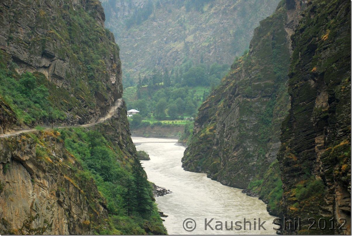
The more we progressed through the narrow gorges of Chandrabhaga, with low visibility and absolute remoteness and surging Chandrabhaga deep into the gorge, only word to describe the ambience was Mystic. Driving an hour, you won’t find a vehicle from opposite direction, so much was the loneliness. Suddenly the silence broken when we found couple of people around a HRTC bus stopped in the middle of the road. We enquired and found it was a punctured tyre and they never thought at that hour any vehicle could come from opposite side, so stopped the bus in the middle and started changing the tyres. We were frustrated but really didn’t had any option other than waiting for almost an hour.

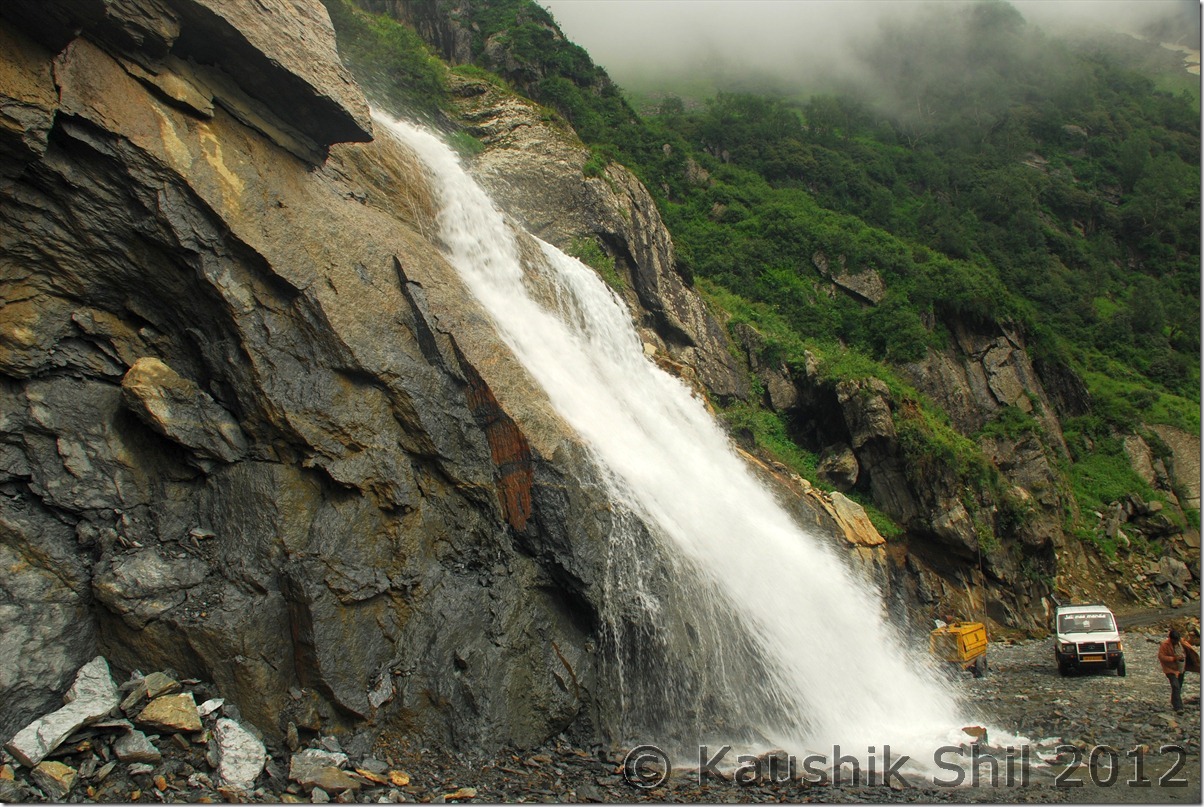
We resumed our journey and it was really a fascinating drive across one of the loneliest road in the country, Waterfalls all around, clouds playing in the sky, little drizzle all the time made the whole journey really memorable.

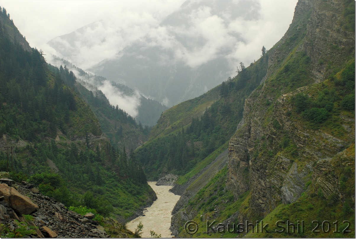
Chandrabhaga Gorge:

DSC_0182

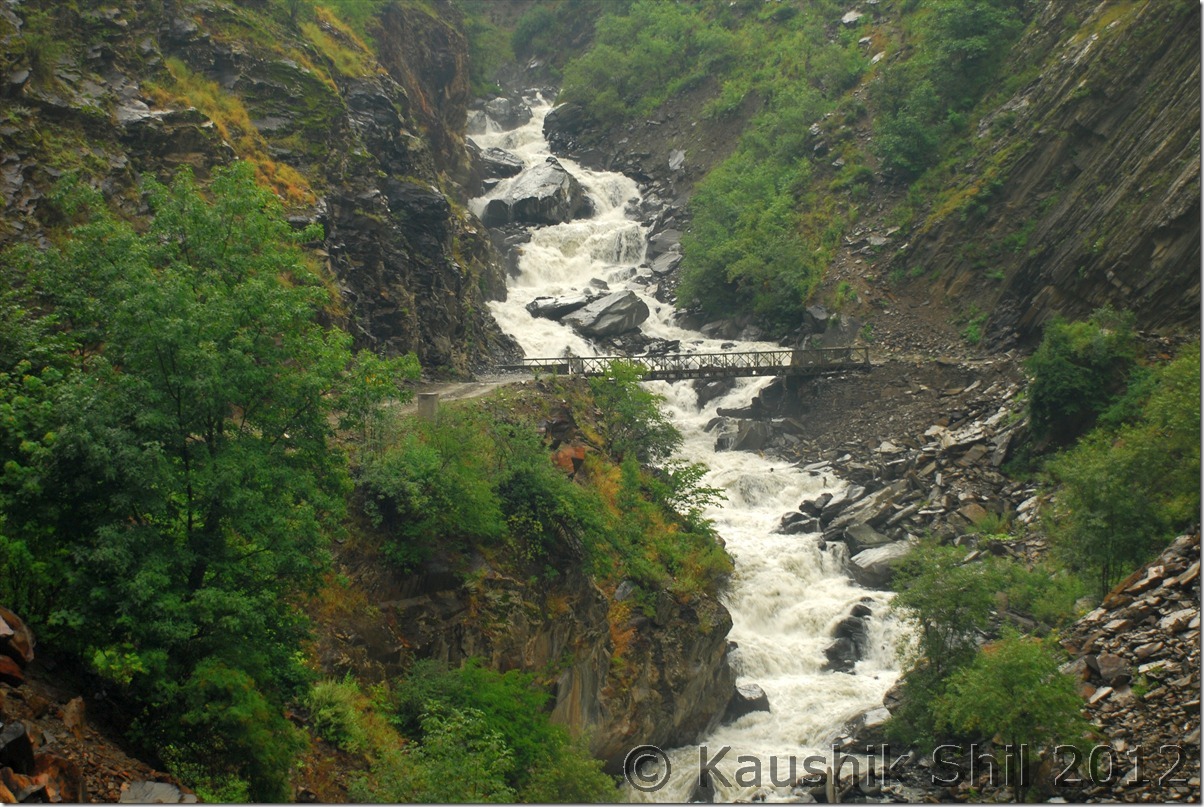
A Waterfalls across the road:

DSC_0183

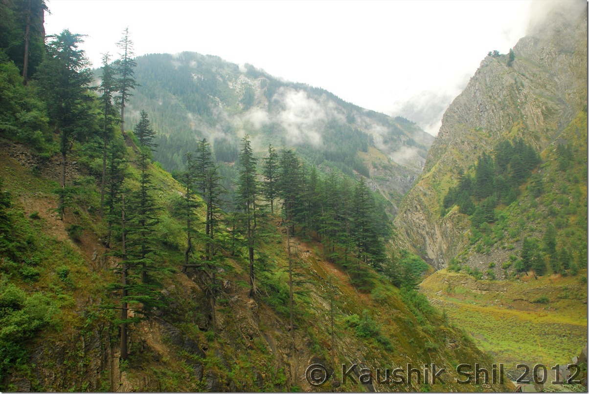
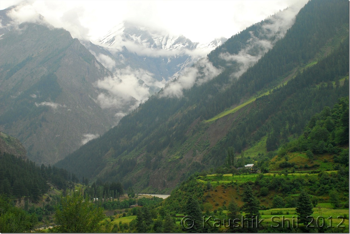
Mystic Valley in other side:

DSC_0188

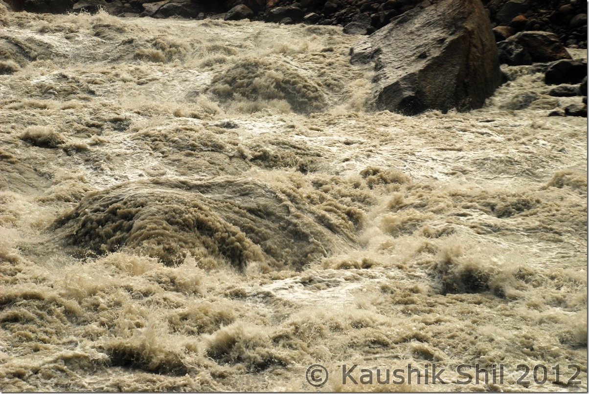
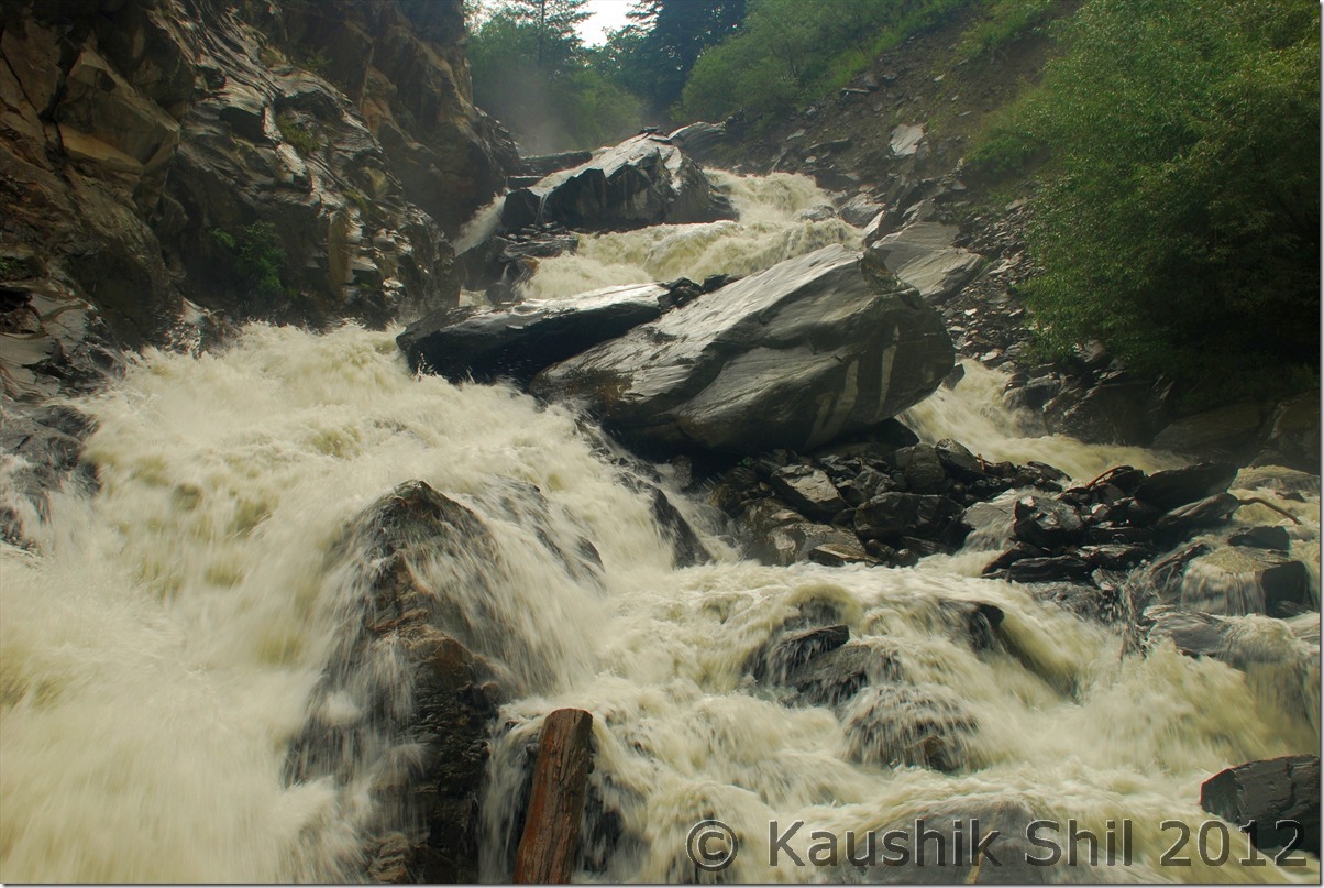
Raging Water flowing across:

DSC_0190

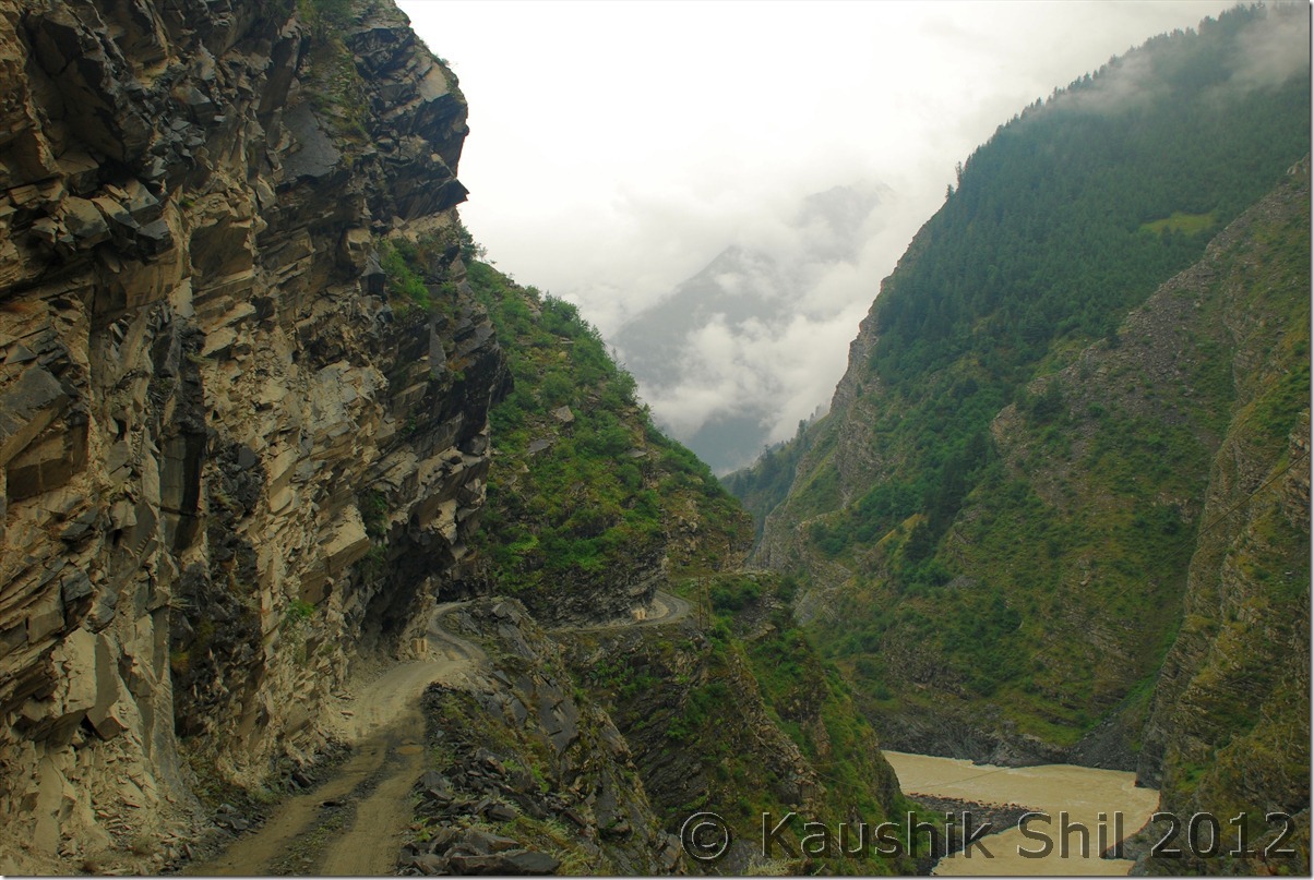
The Scary Road goes on:

DSC_0191 DSC_0194

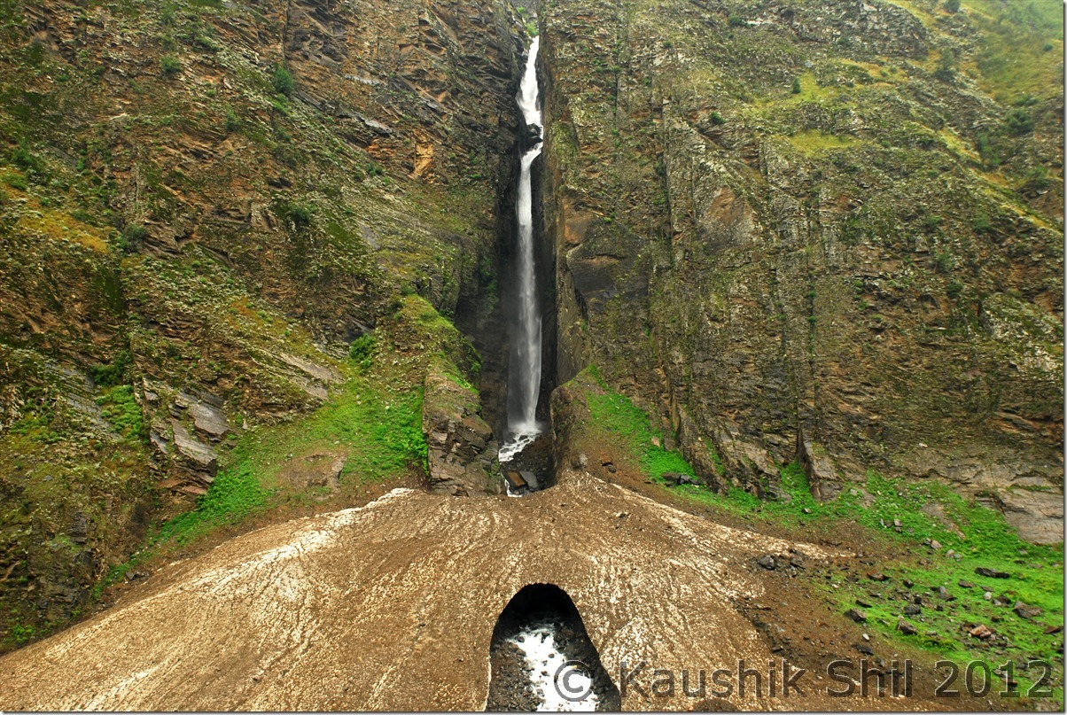
The Waterfalls on the other side meeting Chandrabhaga through a glacier:

DSC_0196

The valley widens as we approach from Tindi:

DSC_0200

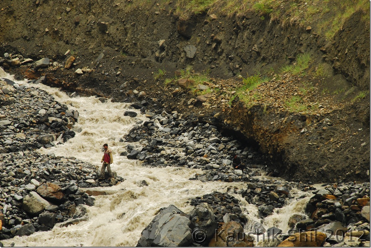
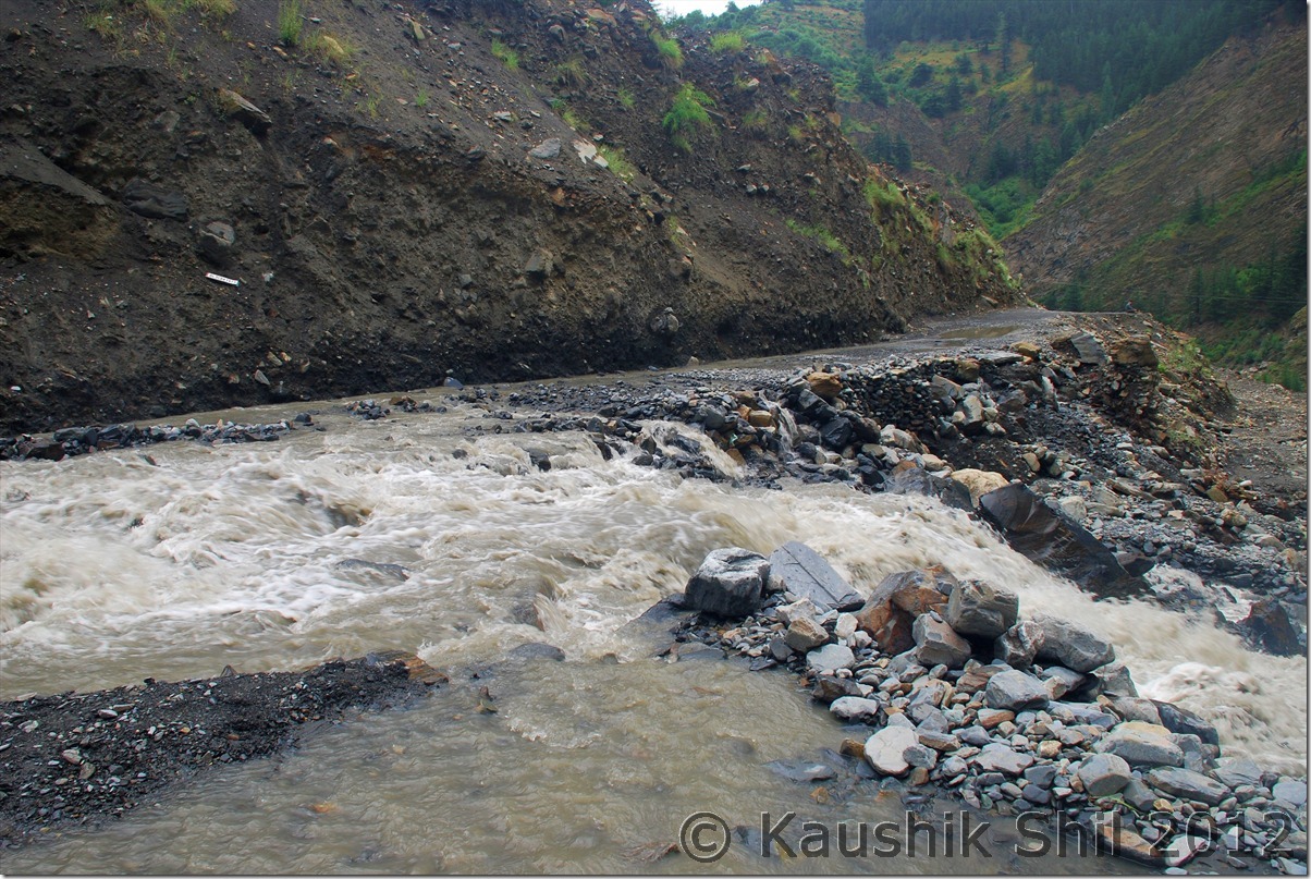
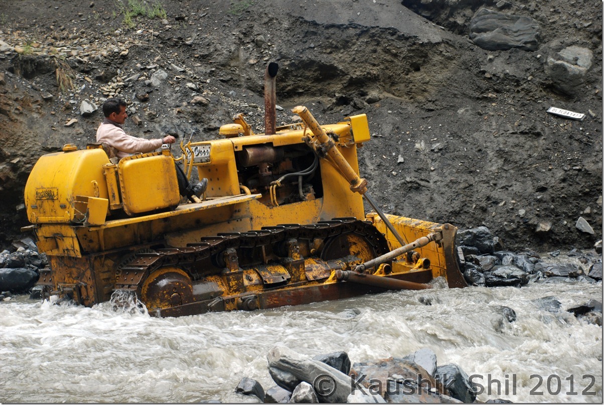
Then we faced another blockade just few km before Udaipur. It was a raging water crossing, simply scaring, locally known as daldal nala. You see and decide what you call it, water crossing, falls, river whatever but never can be a road. Big stones pulled in the force of water making it impassable even for bigger vehicle like HRTC Buses. A lone dozer was the only hope but somehow it was not starting, Now we started getting nervous. The dozer guy was frantically looking for a spanner to start it and to our luck, somehow our driver Vinkal had it with him. The dozer started after a try of almost 45 mins and started to clear the boulders and stones to make it passable.

There it is:

DSC_0205

A closer look:

DSC_0206

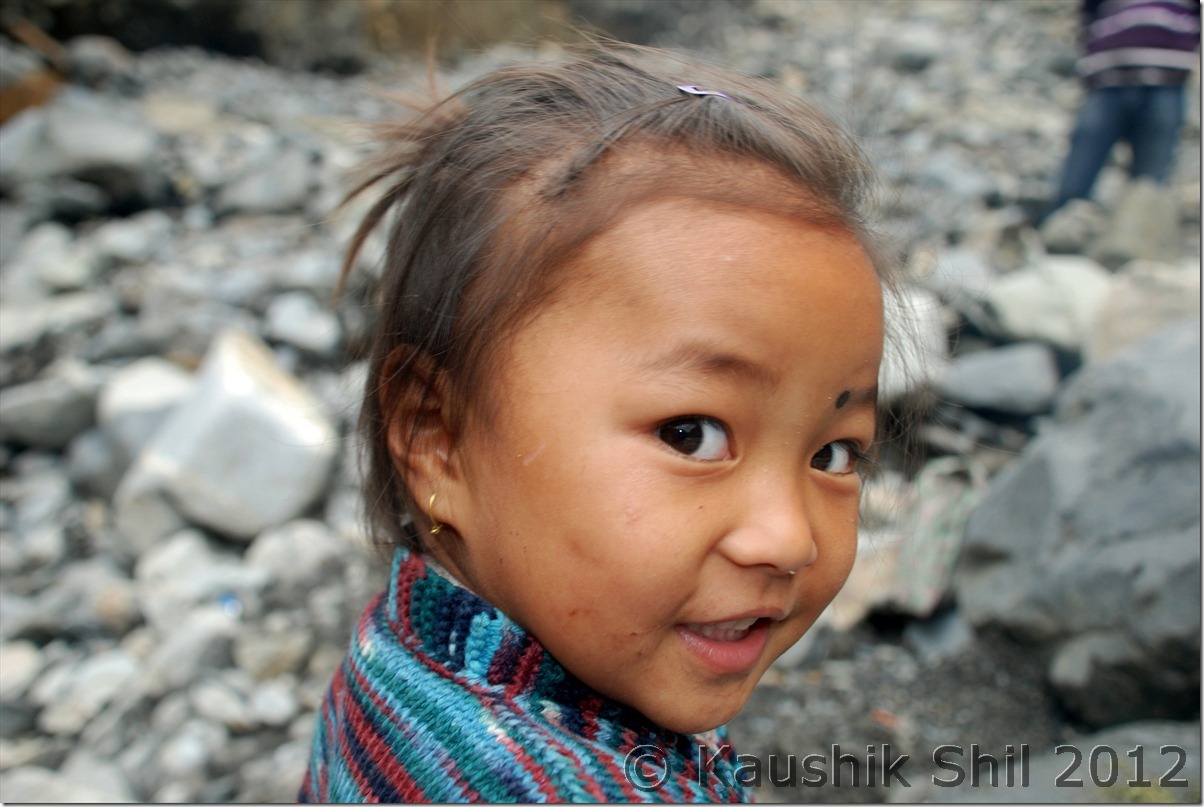
God always gifts us some wonderful moments whatever scary situation it is, see the smile, it gives you courage even in difficult situation:

DSC_0208

The lone dozer is trying at its best:

DSC_0212

Vista opened up more as we hit Lahaul Valley on Leh – Manali Road:

DSC_0218 DSC_0224

The Khoksar PWD GH in the evening:

DSC_0226

Previous: Himachal Pradesh – Crossing Sach Pass to Killar in Pangi Valley

Next: Himachal Pradesh – Gramphoo, Batal, Chandratal

Himachal Pradesh – Crossing Sach Pass to Killar in Pangi Valley

Day2:

Nothing much to write as this day was to feel the nature in various form, initially lush green Chamba, then slushy and muddy upward drive from Bairagarh to Kalaban to Satrundi and finally to the Sach Pass and then killer drive to Killar, never have seen such a steep gradient while getting down from Sach Pas to Bogutu. A complete change in weather, mountains, rocks and everything around you would surely mesmerize you once you cross this mighty pass. You might redefine what remoteness is once you cross this section. I have a dream of going to Killar – Kishtwar one day but this awesome journey from Chamba across the Pangi valley would remain in my memory for long.

The road till Bairagarh is tarred and you will enjoy the scenic Chamba all along but after Bairagarh things would start changing. It was before 10km of Kalaban, suddenly the road got vanished and we started realizing why so many traveller consider Sach pass so challenging. Vinkal being a very expert and efficient driver really made a mess and finally it was the local contractors who got us out of the trouble. At least 10 people pushed the car from behind and one got into driver’s seat and next 40 seconds was a thriller, we were stuck for almost half an hour and it was a great relief once we crossed the section.

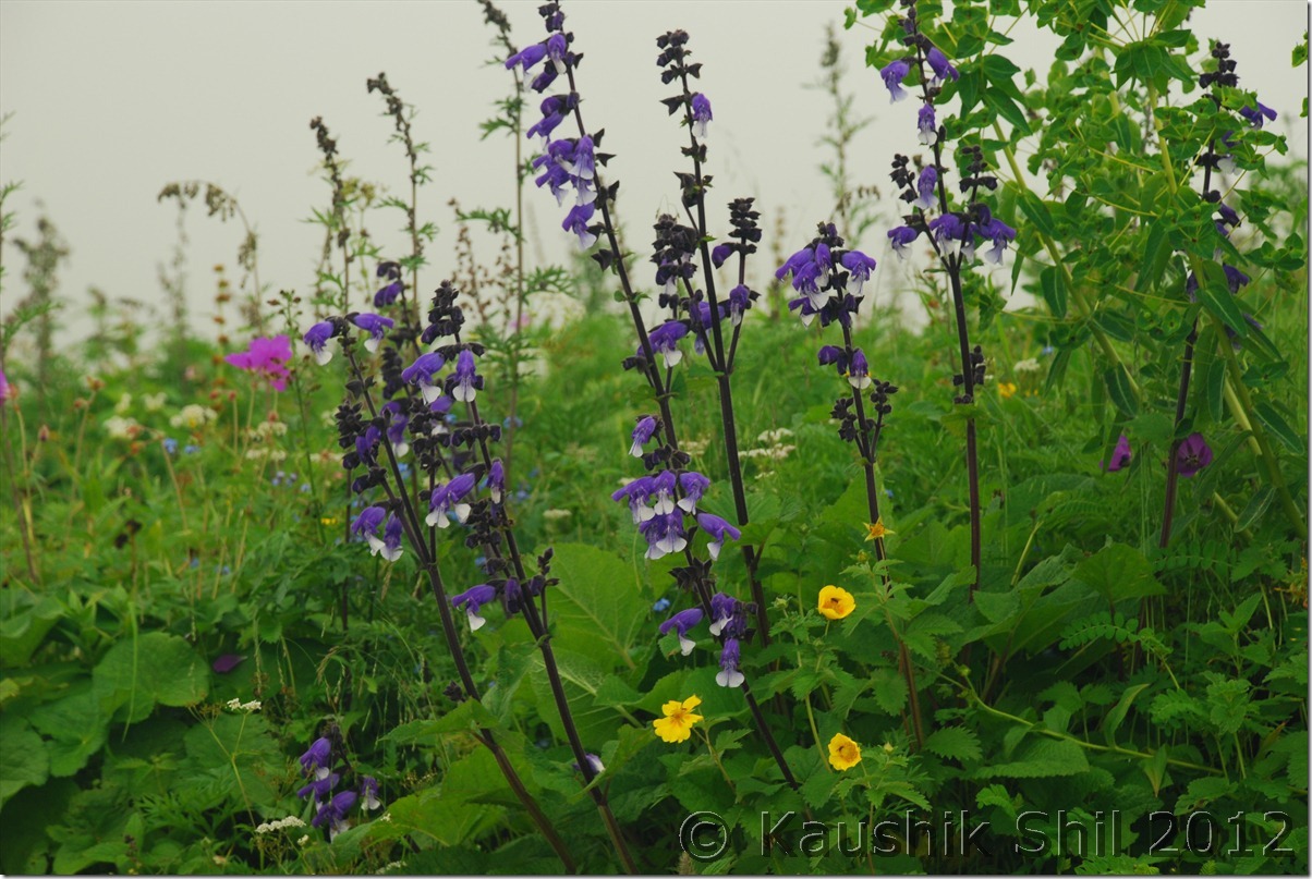
The road from Satrundi towards top was rocky rather than muddy but the wild flowers around you would cast a magical spell, I have never seen so much of wild flowers, may be August was good time to see the flowers but that was an experience hard to forget.

The moment we crossed Sach Pass, blue sky and gorgeous sun gave us a warm welcome as we entered the rain shadow region, few challenging water crossing, few tense moments with rock falling and few unnerving moments of driving took us to Bogutu where we had tea, but at 5.00 in afternoon with bright sun at top, we felt the chill of Pangi Valley, couldn’t stand in open ground, it was so windy.

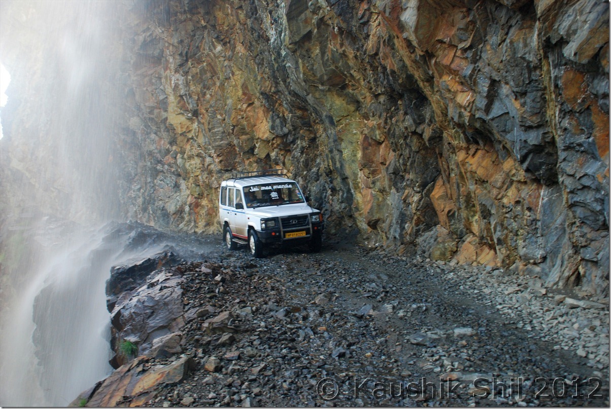
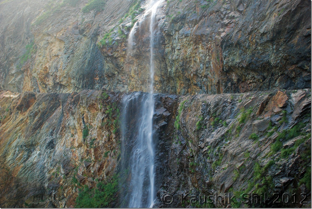
The road at this end was blasted from sheer rocky terrain and the colors of the deep canyons were amazing. Few waterfalls straight on the road made it more thrilling, we were tired and finally reached Killar around 7, another 12 hours of journey. We booked Killar PWD which was excellent, I have stayed many HP PWD but this one along with the one in Sissu stands out. We were very tired but the caretaker of the GH couldn’t arrange food as he was busy in entertaining some Govt Babus. We had our dinner outside and quickly retired for the day.

Few moments as I look back:

It’s all very soothing green until you reach Bairagarh: DSC_0080 DSC_0083 DSC_0086 DSC_0088 DSC_0089

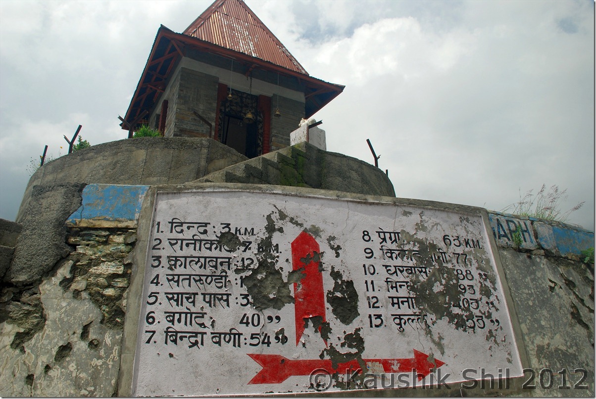
The distances from Bairagarh still a good 77 km away from Killar: DSC_0091

The road from Bairagarh to Satarundi:

DSC_0095 DSC_0106 DSC_0116

Wild Flowers are Amazing:

DSC_0119

Everywhere wild flowers:

DSC_0122

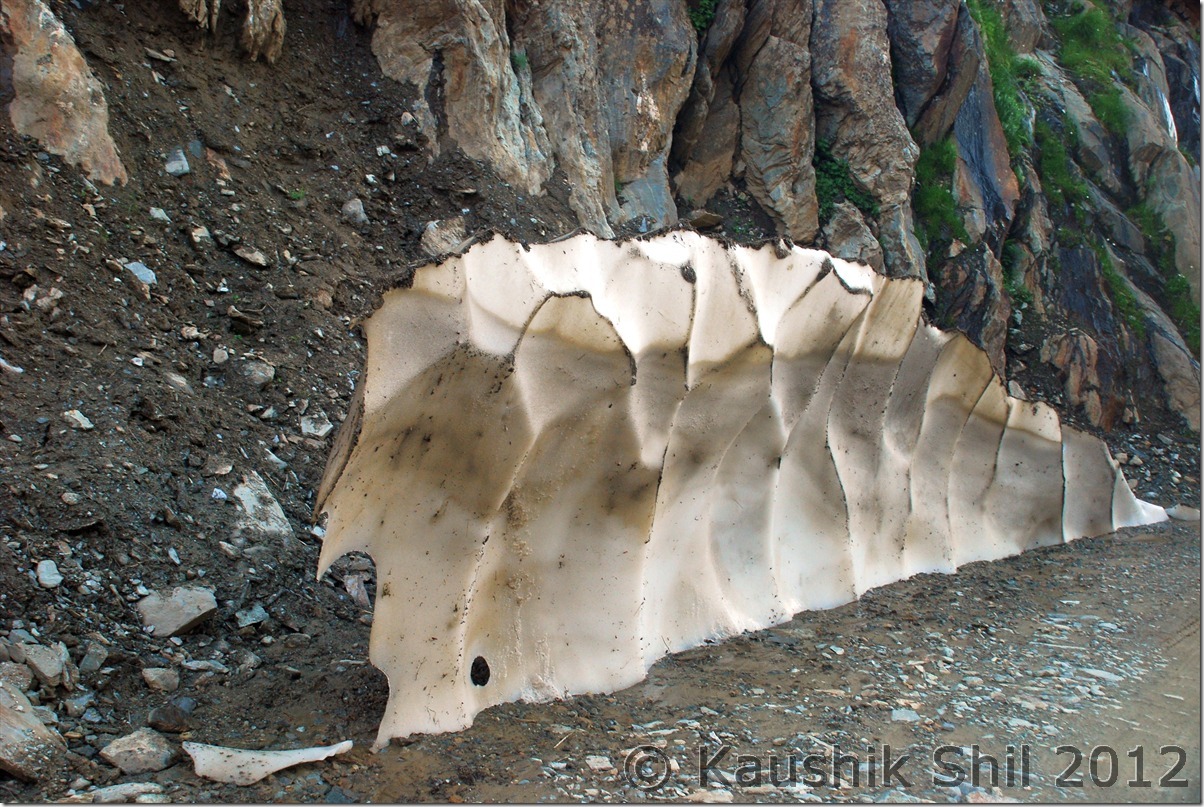
In the middle of Ice Wall:

DSC_0130

At Sach Pass:

DSC_0135

Remoteness at its best:

DSC_0136

Other side is NOT always green:

DSC_0141

Lone Ice wall:

DSC_0146

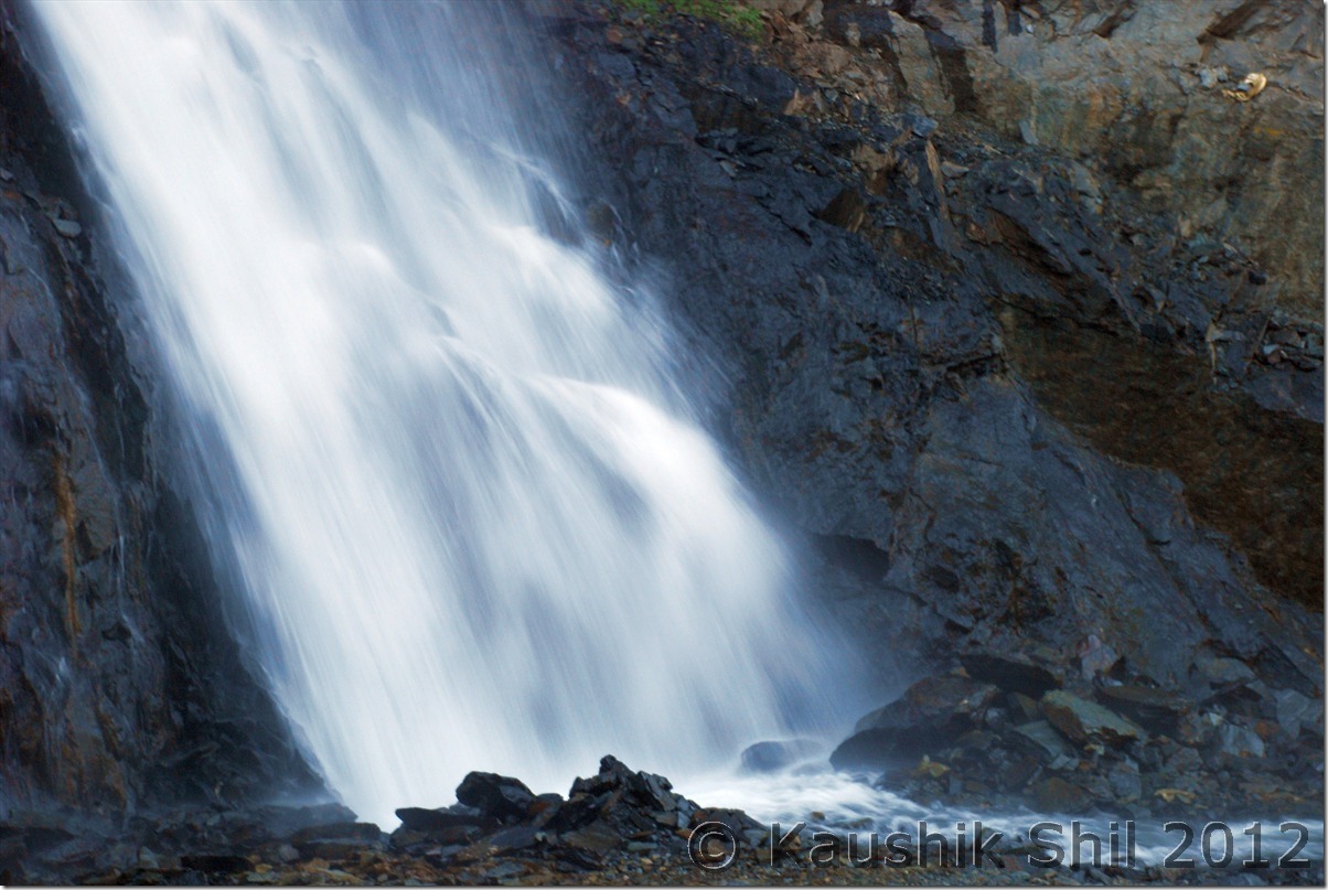
Waterfalls will greet you at every bend:

DSC_0151

Free Car Wash, see the width of the road:

DSC_0156

Amazingly colorful rocks and kudos to them who blasted a road here:

DSC_0161

Ohh My God, I don’t know why you are taking my snap?

DSC_0165

So Sweet:

DSC_0166

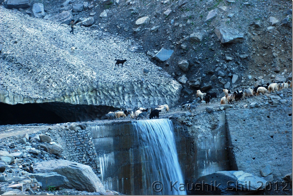
Grazing on Glaciers:

DSC_0169

Killar PWD GH – another Must Stay:

DSC_0178

Previous: Himachal Pradesh – Kalatop

Next: Himachal Pradesh – Pangi Valley, Pattan Valley, Lahaul Valley, Journey from Killar to Khoksar

Himachal Pradesh – Kalatop

Last time in 2010 when I visited Kinnaur, Lahaul and Spiti around June, I missed going to Chandratal as the road was closed. The road to Chandratal usually gets open in July middle and usually gets closed between end September to first week of October. The road between Batal to Chandratal is scary enough to drive in couple of places and it’s quite risky to try it in too early or too late in the season. The other road which is just a trek route exists from Kunzum top to Chandratal but that’s too steep yet short and quite risky to try when its snow bound in early season. So I promised to myself to be back in this circuit again but probably in a time when approach to the lake is more likely to be opened. My objective was to camp a night near lake and those whoever visited this place surely know how difficult that is even in the peak summer months, as the places is surrounded by all high Chandrabhaga peaks and Barasigdi glaciers. It’s the sheer wind chill that makes you feel terrible since afternoon, that’s a typical Tibetan weather with high wind, tremendous chill and abrupt drop in temperature once Sun is down. So for me the best possible window to try to Chandratal was August. Now as I already visited the region two years back, I thought of making an over ambitious plan of adding Sach Pass and Pangi Valley and entering the circuit from Chamba region, traverse through Pangi Valley, Pattan Valley, Lahaul Valley, Chandra Valley, Spiti Valley and finally through Kinnaur Valley coming out to Great Indian Plains and all these in flat one week. Those who are not aware Sach Pass is arguably India’s most difficult motorable pass to cross through. The driver we decided to go with was our trusted Vinkal who drove me in my last Himachal trip. We call this as Grand Tribal Circuit of Himachal.

 The itinerary and plan was as below:

Day1 – Chandigarh – Journey to Khajiar – Stay at Kalatop Forest RH
Day2 – Khajiar – Tissa – Bairagarh – Sach Pass – Killar – Stay at Killar PWD GH
Day3 – Killar – Udaipur – Tandi – Sissu – Khoksar – Stay at Khoksar PWD GH
Day4 – Khoksar – Chatru – Batal – Chandratal. – Stay at tent
Day5 – Chandratal – Kunzum Pass – Losar – Kaza – Tabo – Stay at Kungri PWD GH
Day6 – Tabo- Kalpa – Stay at Private Accommodation
Day7 – Kalpa- Narkanda – Stay at Narkanda Forest Rest House
Day 8 – Narkanda – Kalka – Board Kalka Mail at 11.55pm

This log is primarily be a photologue as in my earlier report of Kinnaur-Spiti-Lahaul, I covered most of the places in details.

Day1:

Our route was as below for first day:

Route Day1

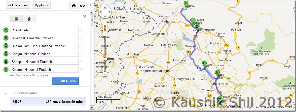
Between Baddi and Nalagarh NH21A is a shame for anything called road forget about NH. As we did it by hired HP Car which doesn’t have permit to travel through Punjab we had to compromise on our route, else for approaching Kalatop I would always prefer through Pathankot – Dalhousi route any day.

Surprisingly we found the section between Swarghat to Jalwaji via Bhakra was extremely scenic and very few cars you would find and a good opportunity to embrace nature while you drive. One of my best drive in HP. In Bhakra we had a lovely breakfast with alu-parotha watching the dam just opposite to us.

From Shahpur (Point E) road became drastically bad for 20/25km which I would surely avoid if I go next time and would try taking Shahpur – Nurpur and then go up towards Lahru. In this stretch we were stopped by locals and advised not to proceed as we saw stones were coming down from mountains pretty regularly. But we were so tired after 2 days of train journey and 400km of drive, we took our chances and passing through live land slides rather than making our route any longer.

Meanwhile I called up Harsh for Kalatop’s exact location but for some unknown reason, the live road atlas somehow got confused Kalatop with Patnitop and frantically trying to rectify our route by asking us to move towards Jammu as soon as possible Later he realized we were following exactly his Sach Pass trail and helped to a great extent as he always does. As per advice form Harsh we took the Jot route from Lahru and that was really a heavenly experience, visibility was almost touching zero, we got another Sumo ahead of us who tried his best to give us side so that we could overtake him, but we are too determined to follow his backlights. That’s the best you could do in such a low visibility and in so much of a winding road.

Kalatop’s location is awesome and I would certainly return there again to stay for couple of days, not sure when that will happen as this wish list keep on increasing but never I get a chance to visit a place second time. It’s within forest area and if you have plan to visit try reaching Kalatop check post by 5.00pm. We were late and we had troubles in finding the person in check post to give us an entry there.

Some memories as I look back:

Lush Green Chamba District covered in Mystic Clouds:

DSC_0042 DSC_0044

He is too kind to allow me to take a close shot:

DSC_0047

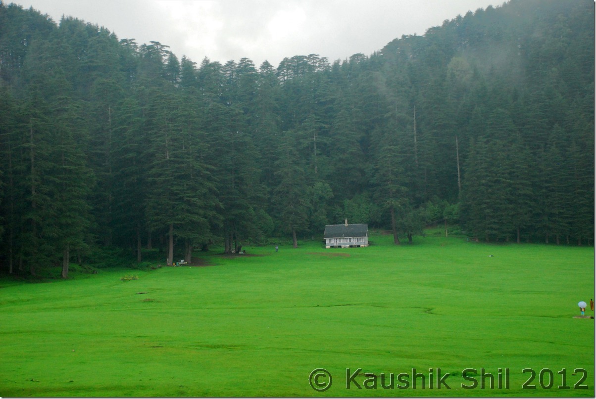
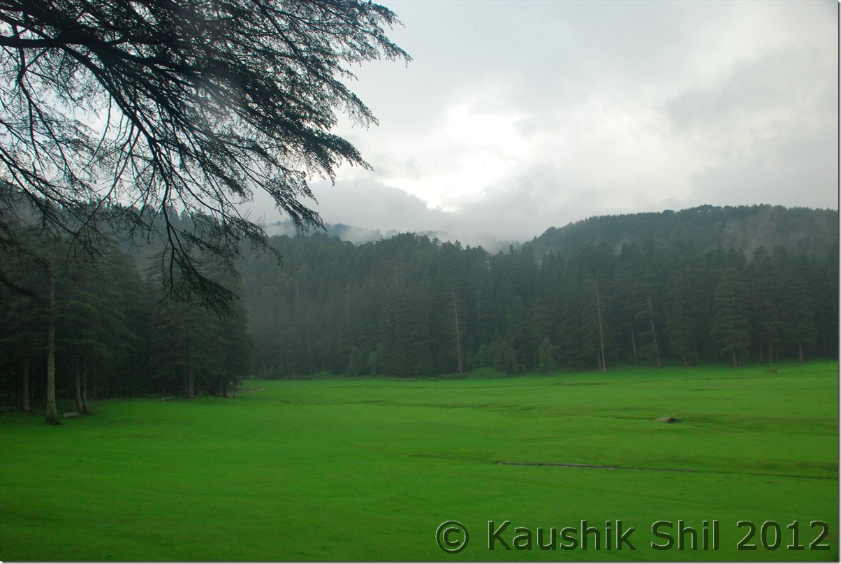
Famous Khajiyar Meadows but visibility was poor due to evening approaching and it was quite clouded and raining:

DSC_0048 DSC_0053

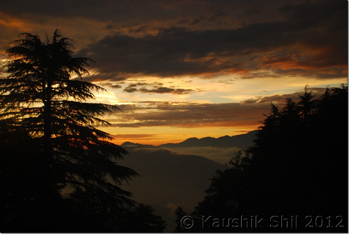
Sunset from Kalatop FRH:

DSC_0055

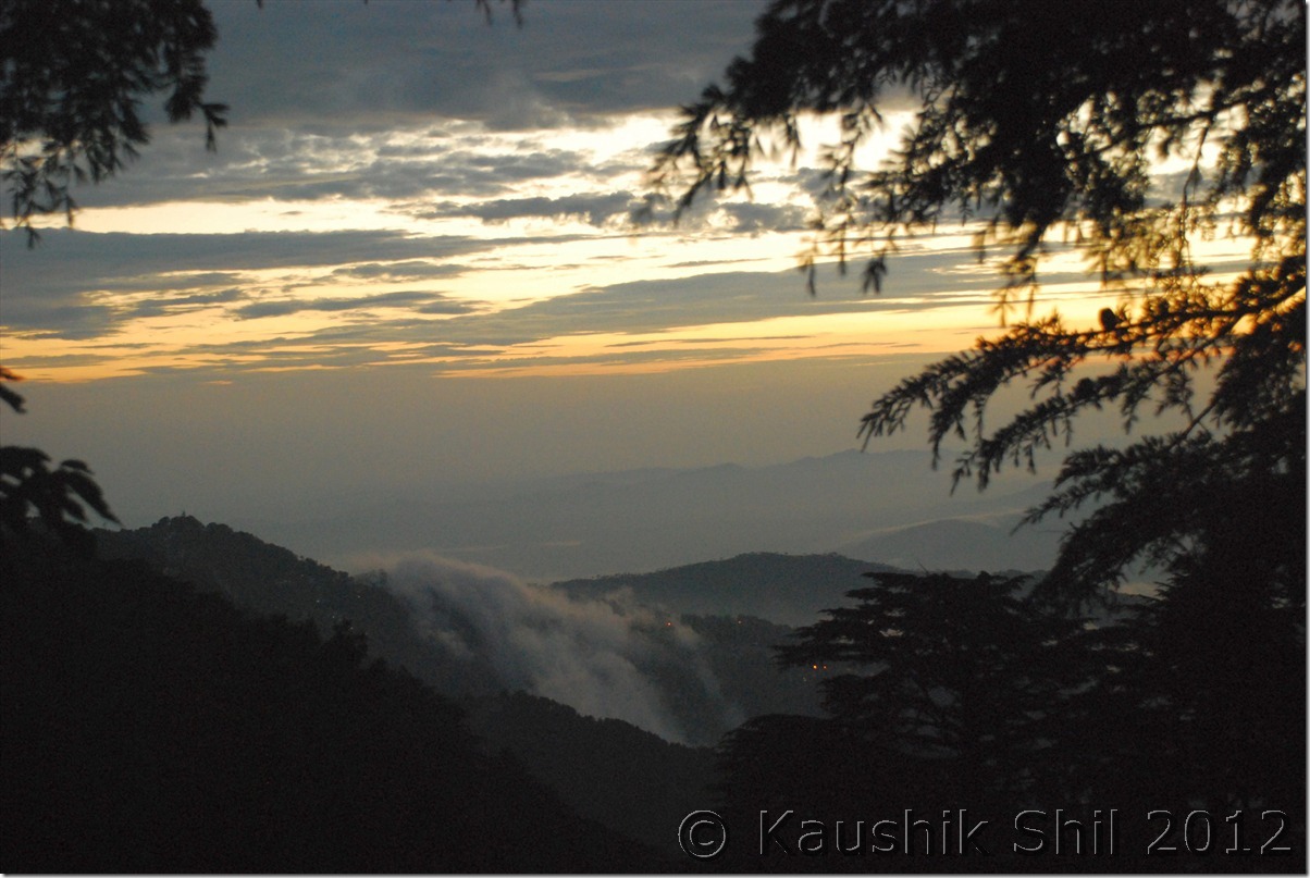
At far side, lights are on in Dalhousi:

DSC_0056

Kalatop FRH – a must stay:

DSC_0064 DSC_0066

Next: Himachal Pradesh – Crossing Sach Pass to Killar in Pangi Valley

Himachal Pradesh – Lahaul, Land of Folklores and Tirthan Valley

22nd June:

We started the day early around 7.30am and headed towards Baralacha in a nice sunny day. Road was excellent in almost all section except couple of water crossing just beyond Keylong and Darcha. We crossed, Jispa, Darcha, saw the new alignment of Manali-Leh highway after Darcha via Zanskar. Entry of vehicle was required at Darcha and it was probably the third place after Sumdo and Losar where we had to do the same formalities. Crossed Patseo and enroute visited a nice and small Dipak Tal with wonderful turquoise color and moved towards Zingzingbar. From here we started a journey of lifetime, I have seen lots of snow in Europe and US but never felt it could be so divine before this. We started getting lost in the middle of snow as we come closer to this famous pass that cuts through Great Himalayan range (Himadri Himalaya), highest east west spread among all the Himalayan ranges. No word could do justice to exactly how we felt for next 2 hours. On the way found almost frozen Surajtal, a treat to eyes. Met an horrendous traffic jam near pass as it’s just one lane road by then and there was no traffic restriction in place that made the chaos. One police bus got stuck in between making it worse and along with that found large number of oil tankers approaching the pass. When pass was only opened to light vehicles, don’t know how these oil tankers were allowed, may be they come under essential service. For the first time probably we enjoyed the traffic jam in life as 95% of tourist were Leh bound and they were really anxious as Sarchu tent was not ready by then, where as we enjoyed every moment stucking in the ice age as we knew we had to start return journey the moment we reached the top and had no hurry to come out of that heaven. On way back we took our lunch at Darcha and then proceeded to Sissu for stay in PWD RH. This is another PWD RH, that one should stay, extremely good location and nice rooms.

The Vista Changes:
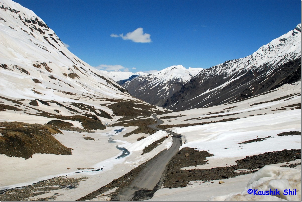
30399_The Vista Changes

Amidst all white:

30404_Amidst all white

Towards Baralacha Pass:

30407_Towards Barlacha Pass

Kudos to BRO for a Road like this:

30430_Kudos to BRO for a Road like this

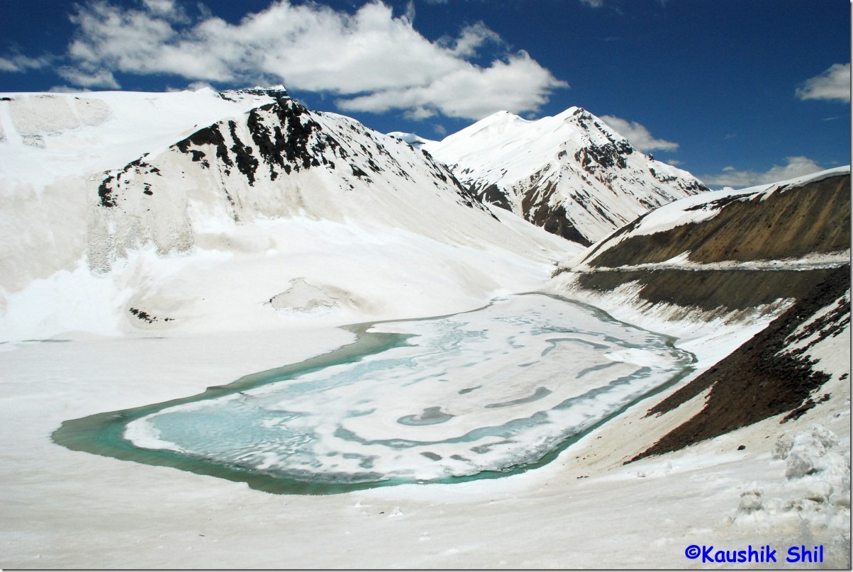
Frozen Suraj Taal:

30502_Frozen SurajTaal

Dipak Taal:

30543_Dipak Taal

PWD RH at Sissu, a must stay:

30626_PWD RH at Sissu, a must stay

23rd June:

In the morning started for a trek to Sissu Waterfalls, it requires crossing Chandra river over nice bridge and then the waterfalls stream through a precarious bridge with some loose stones and woods. Some very steep ascent and you could see the main falls clearly from very close. Other easier option would be to drive to the helipad below and from helipad you can get a nice view of the falls. We started after breakfast towards Tandi where Chandra meets Bhaga to form Chandrabhaga and flowing westward. Our destinations for the day were Udaipur and Trilokinath in Pattan Valley and found it’s much greener than Lahaul even. Chandrabhaga would be all along with you flowing at your left. In Udaipur Mrikulamata Temple was great with its wooden carving. We took another great lunch in Udaipur and headed for Trilokinath, the Trilokinath location was amazing and probably only temple that has hosts Shiva and Buddha together. If someone plans well, can include a 3 hour trek, one way, to Sat Dhar, a nice meadow from here. Trek towards Bharmor/Manimahesh in Chamba can be taken through Kalicho pass from here. The road was quite good all through except a 10km stretch from Thirot towards Udaipur. This section was one of the worst among all roads I traveled in Himachal including famous Batal Gramphoo. Not sure due to this section or not, on 13th day from start we faced a puncture for first time in trip here. Our stay was scheduled at Gondhla PWD,that itself is in fabulous location but seems not much tourist stay here. Gondhla has no tourist infrastructure and as a result no availability of foods and accommodations here, we found PWD RH even doesn’t have any arrangement for food and finally settled with Veg Chowmin for the night. It was close to full moon and the surroundings of Chandra River with high mountains and lovely valleys in a moonlit night was simply awesome.

Chandra from front and Bhaga from left meets at Tandi and flows as Chandrabhaga towards right:
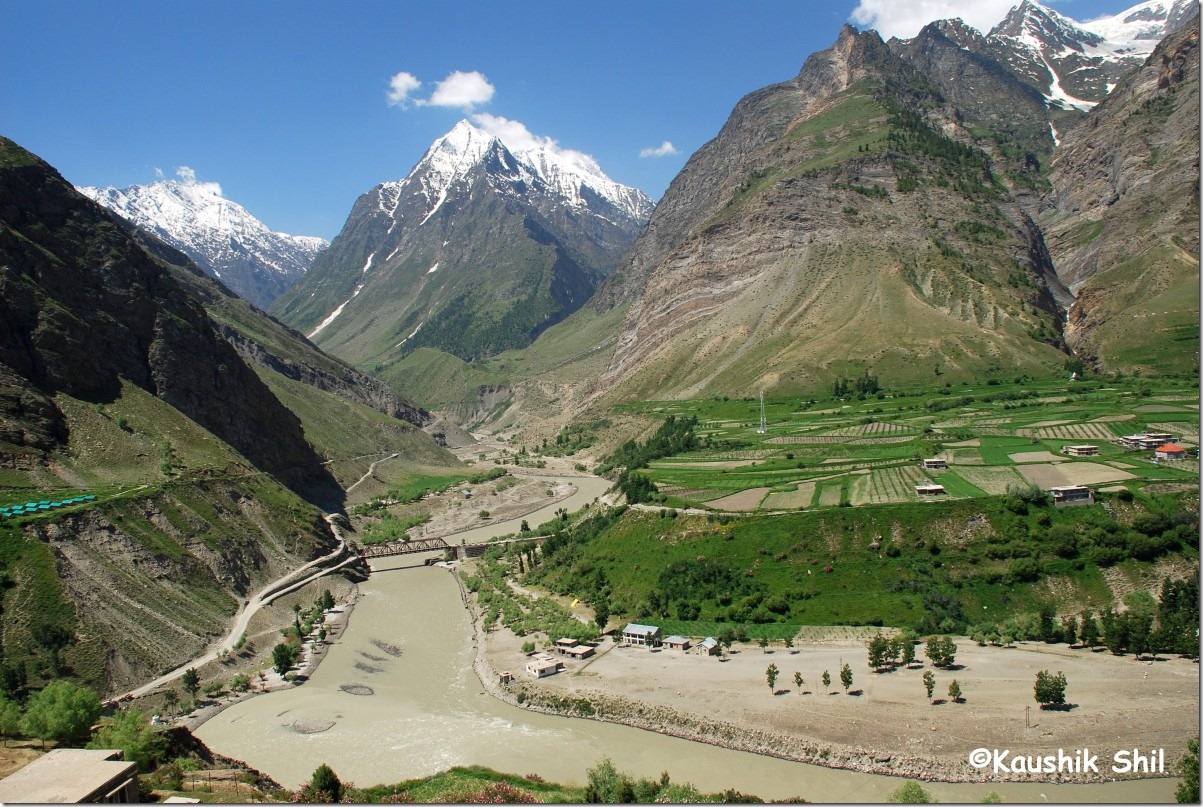
30722_Chandra from front and Bhaga from left meets at Tandi and flows as Chandrabhaga towards right

Chandrabhaga:

30733_Chandrabhaga

Pattan Valley is the greenest among all:
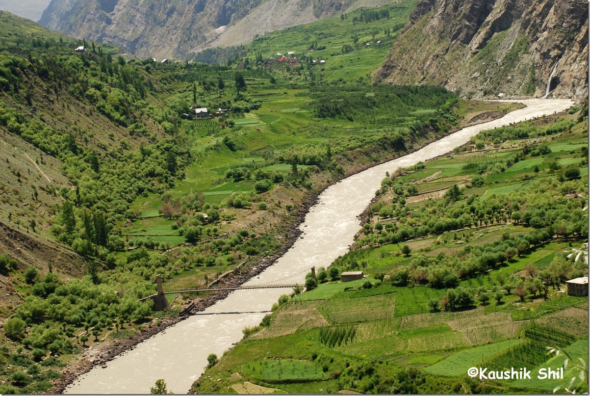
30774_Pattan Valley is the greenest among all

Mrikula Devi Temple at Udaipur:

30816_Mrikula Devi Temple at Udaipur

Trilokinath Temple:

30836_Trilokinath Temple

HRTC Bus – Himachal’s Lifeline:

30858_HRTC Bus - Himachal's Lifeline

24th June:

Around 3 in the early morning we realized a sudden change in weather hitting by a severe storm and heavy rains. I realized IMD missed the date by a day as it was 25th when the disturbance was supposed to hit. We didn’t realize much in night that followed by a partly sunny morning with some clouds. We started early as our objective was not to get stuck at Rohtang traffic jam. We hit road by 7.00am and soon after crossing Sissu we found road is completely blocked at Pagal Nallah due to huge slide. We knew about a bypass through a village road to reach Khoksar from BCMT website and easily found out the road after back tracking couple of km. The bypass road was awesomely scenic and we saw Pagal Nalah from top then as 2 dozers were in full service there. Reached Khoksar at 8.30 and took breakfast. Started for Rohtang and found one more slide where we had to wait for 20 mins before it’s cleared and we headed towards Rohtang. After 20 years I saw Rohtang and it’s a complete change and I couldn’t figure out much rather than just lots and lots of people, cars, horses, donkeys and what not. It’s difficult to recognize Rohtang separately from Delhi Pragati Maidan or Kolkata Maidan unless Pir Panjal range used to be there. A classic example of irresponsible mass tourism and surely when Rohtang Tunnel would be ready, Himachal Govt might make it an amusement park with some rides and a good entry fee to generate better revenue. God saves this Pass!! We got stuck in traffic jam as usual and finally reached Manali around 1.30pm and stayed at Ocean Inn. No intention of getting out in Manali as the place was horribly crowded comparing to the heavenly places we came across earlier. We took the rest of the day full rest and weather gone worse to worst as evening approaches, enjoyed the rain from hotels all along. Enjoyed Italy Slovakia match on TV and some tennis as well. The hotel was just inaugurated 2 months back and very new property and we got room for 1400. Food was awfully bad and when we asked the reason, the guy told the restaurant was outsourced, not a compelling alibi though.

Rohtang Pass:
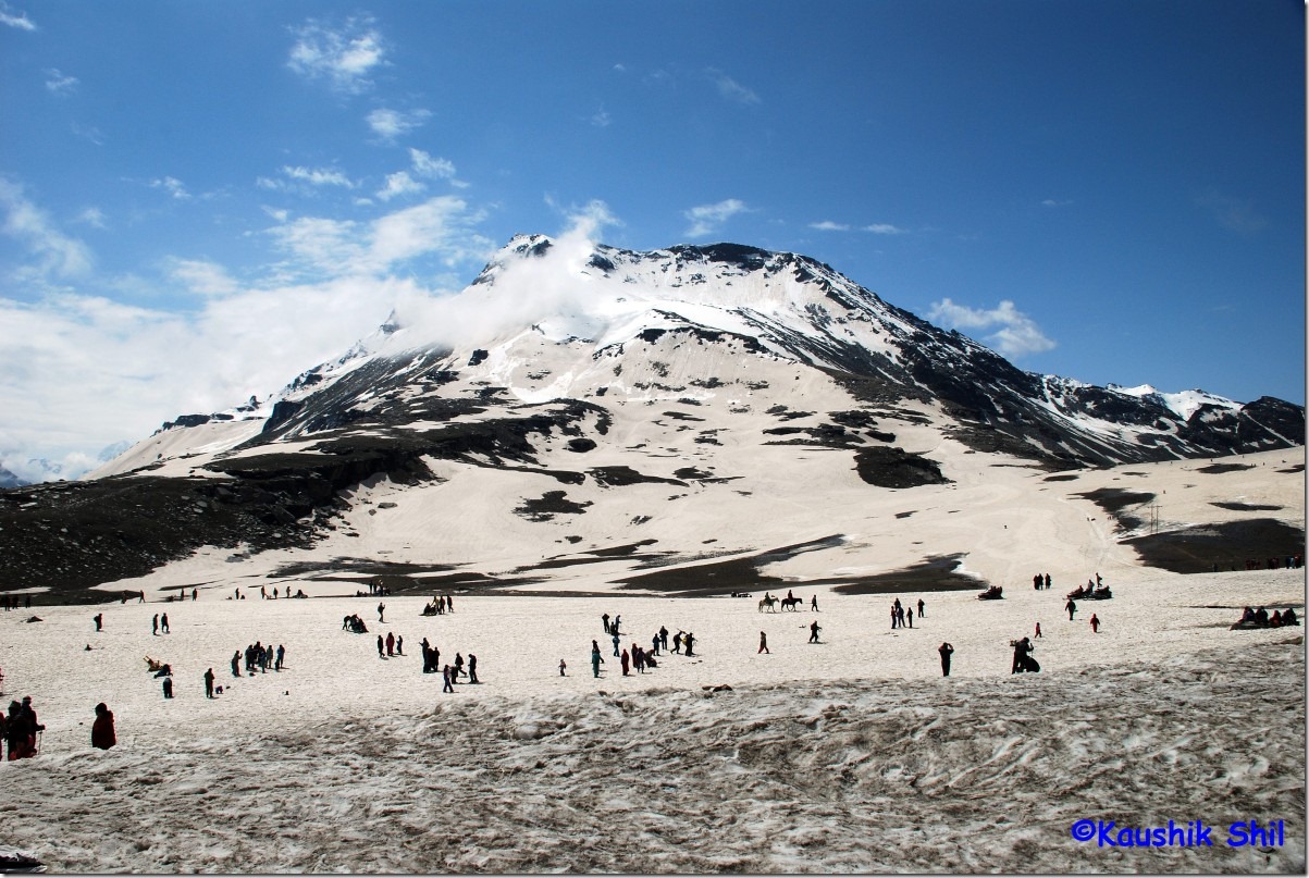
30948_Rohtang Pass

Water Falls from Rohtang:

30972_Water Falls from Rohtang

Towards Manali:

30997_Towards Manali

Near Kothi:

40001_Near Kothi

25th June:

Early morning started for Sairopa and still it was raining heavily. On the way Vinkal did his first mistake of the trip by saying about Kullu Shawl factories and my wife got hell-bent by then to do some shopping that I carefully avoided since beginning. Usually I play with weight/luggage restriction excuses for flight quite well to counter shopping but this time unfortunately we had to return by Train, my last excuse fell flat as it’s clearly written in all corner “Credit Cards Accepted” and all hell broke loose as we entered the factory, in next one hour our luggage counter gone up by three and countless number of times I had to choose between multiple colors and designs, none of them honestly looks attractive to me. Somehow got out the factory and soon found the weather is improving (what a coincidence!!) , taken nice lunch at splendor dhaba just before Aut and crossing Aut tunnel we took left to enter into another heaven. Banjar Valley is surely one of the greenest corner of Himachal. Tirthan, the cleanest river of Himachal starts showing up and we follow the river, take a left before Banjar towards Gushaini, the entrance of Great Himalayan National Park. Before 5 km of Gushaini, we reached Sairopa. The forest RH was awesome, I booked 2 rooms over phone by calling Shamshi range office, for 500 it’s out of the world. You can easily stay for 3/4 days in this ambience and would enjoy every moment of it. Set 3 was best room that somehow range officer allotted us. Gone for small walks near Tirthan and saw many flowers and birds in between. Apples and pears all the way with lush green surroundings and magical Tirthan in front, set a stage that is difficult to forget easily. No cooking in FRH but a nearby shop would serve you delicious dinner, breakfast and lunch at your room.

Tirthan Probably Cleanest River in Himachal:
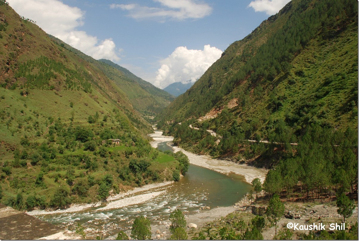
40090_Tirthan Probably Cleanest River in Himachal

Sairopa Forest RH, a Must Stay:

40173_Sairopa Forest RH, a Must Stay

Sairopa:

40210_Sairopa

Best Place to Read ‘Sahaj Path’:

40237_Best Place to Read 'Sahaj Path'

26th June:

Woke up early, enjoyed the sunrise and first time I didn’t feel like moving on, it’s an addictive place and I would come back with a long vacation here. Ultimately started at 11.00 in morning (maximum late start in the trip) and proceeded towards Banjar and then towards Jalori pass via Jhibi and Shoja. Nice green surroundings everywhere with tall pine forests in every corner. Shoja end of Jalori is extremely stiff and almost all the way till pass it’s a journey in first gear from Shoja. We proceeded through Khanag, Ani and Luhri and crossing Luhri Bridge, we took the right towards Sunni instead of normal route that goes towards Sainj. This route is shortest to come to Shimla and just follows Sutlej all the ways. We had an invitation for lunch in Vinkal’s native place, Sunni on that day and we enjoyed it fully. It’s nice flat land with lots of farming. Only problem is it’s extremely hot as it’s in valley floor of Sutlej. Through Basantpur, we reached Naldehra in evening and liked a hotel Rock Heaven in Mashobra a few km ahead of Naldehra as we had no intention of staying at Shimla. The hotel was good at 1000 and food was equally good too.
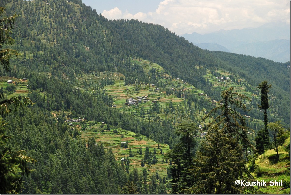
40259_Approaching Jalori

27th June:

Our last day in heaven, started around noon after lunch as we had to catch Delhi Shatabdi at 5.45 in evening, Had to come to Shimla as I had to pay rest 50% of the Car rental to owner there and then some uneventful moments before we reached Kalka. In Dharampur, we returned the 6 empty cans of 5 ltr water bottle in Gianni Dhaba and got 120 bucks refunded, Just before Kalka it’s always a traffic jam that would eat out some time of yours specially if its a weekend. Anyway we reached well before time and had a good journey back to Delhi. It’s a warm welcome literally to 40 degree from 5 degree.

28th June / 29th June:I had some work there in Delhi, the reason why the trip preponed for a week, completed that, intentionally took ride in a Delhi Private Bus and DTC low floor AC Bus to enjoy the contrast and then finally took Duronto Express from NDLS to reach Kolkata on 29th. It’s a wonderful journey and one of my most memorable trip that ends here.

Previous: Himachal Pradesh – Into the Thin Air of Spiti Part-2

The End
Himachal Pradesh – Into the Thin Air of Spiti Part-2

19th June:

The morning was brilliant again and I didn’t wait anymore but sharp at 6 started the 3 km hike towards Dhankar Lake. Some parts are stiff but mostly moderate hike and reached at lake by 1.5 hours. It was a calm morning and lake was awesome with mirrors of surrounding ranges specially manerang. I just sat there for an hour and the feeling was hard to express in words. Early morning Dhankar lake is an awesome experience. I came back by 9.00am and took a shower, had a good breakfast and started by 10.00am towards Kaza. Straight away proceeded towards Langza once the Scorpio got it fuel tank filled up. Langza and Komic were 2 awesome places with Chau Chau kang Langda in its backdrop, both places had monasteries where as Komic Monastery had an extra attraction of a stuffed Snow Leopard there. I thought of spotting some fossils in Langza but didn’t find any, heard from locals it might be available near water streams in the forest, most likely maximum were picked up and sold already. There is another village called Hikkim and there are roads connecting each of them. We took from Kaza the main road and took left fork towards Langza as mentioned by a Kaza local.From Langza again one road goes Komic directly and we took this to reach there, while coming back we tried to experiment a little and took the road to Hikkim from Komic and after Hikkim there is a fork, right side goes towards Langza and left goes towards Kaza directly. We took right and got stuck in Mud slush for half an hour, finally retraced and took the left towards Kaza and soon discovered why the local asked us to take Langza route. The road was extremely narrow and full of loose gravels that is difficult to grip, Scorpio faced skidding in couple of places and once we escaped by an inch from a straight fall to Spiti Valley. After some time found a dozer is removing stones and we kept waiting for almost 15 mins before it gave us an extremely narrow space to pass, Vinkal’s driving skill saved our day and when we took first hairpin after that, we realized the dozer we just passed, throwing the stones on our road from top. We shouted a lot to stop, honked a lot, all in vain and then we had nothing to do but to pass the stretch as stones are coming from top and it was steep and full of loose gravel to back track. Now the worst, Vinkal told we need to remove few boulders from road those could damage the car, he was at steering, it’s only me who need to do the job as he had to drive fast the moment I pushed the stones. It was most horrific moments of my life, stones are coming from top, I was pushing stones with all my energy to make way for the Scorpio and Vinkal is honking if the dozer shows some mercy to us, don’t know exactly how long it was but seems to be never ending, finally crossed the stretch unhurt. Came back to Kaza and meet Lotey and the best thing that could happen then was exactly what he told, Kunzum opened 2 days back and first lot of cars crossed Barlacha on that day itself. Along with that the bad news was Chandratal link road was still closed and none knows even in Kaza when it could open. I asked if I could try a trek from Kunzum Pass as that is shorter and more scenic. He discouraged me very clearly as he was expecting lots of snow in that route. We didn’t want to stay at Kaza and asked him if anything is available in his hotel at Rangrik (Spiti Sarai). He offered us a complete suite with 2 rooms and 3 beds for 1000. It’s the best deal we got in whole trip and undoubtedly the best place we stayed among all 17 days. The hotel location was superb out of all hustles and bustles of Kaza and the food was extremely good. Voyager once wrote, it’s best value for money in the valley and he was 100% correct.

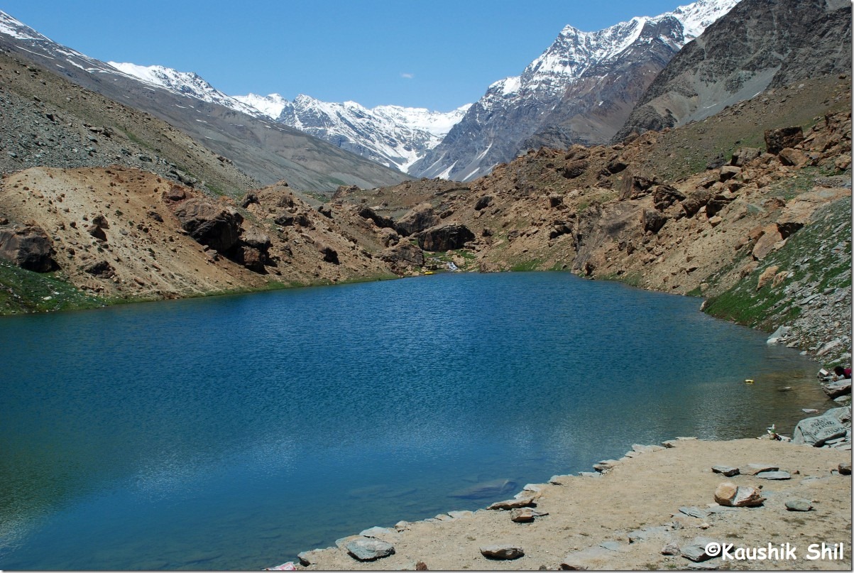
Dhankar Lake:

20112_Dhankar Lake 20121_Dhankar Lake

Dhankar Monastery on the confluence of Spiti and Pin:

20142_Dhankar Monastry on the confluence of Spiti and Pin

Dhankar Monastery Old at back and New one at Front:

20152_Dhankar Monastry Old at back and New one at Front

Kaza from Top:

20186_Kaja from Top

The Cutie at Langza:

20220_The Cutie

The Buddha at Langza:

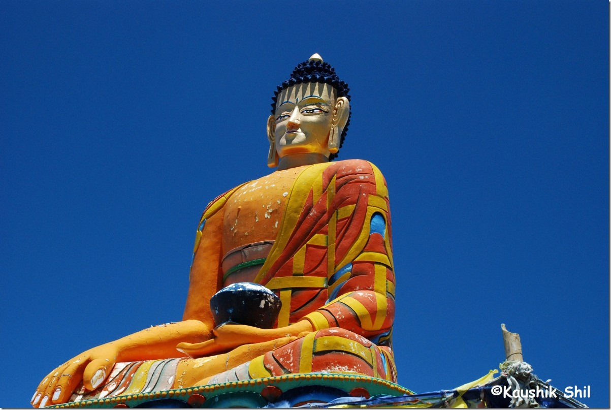
20224_The Buddha at Langza

Kye Monastery from Rangrik Hotel Spiti Sarai:

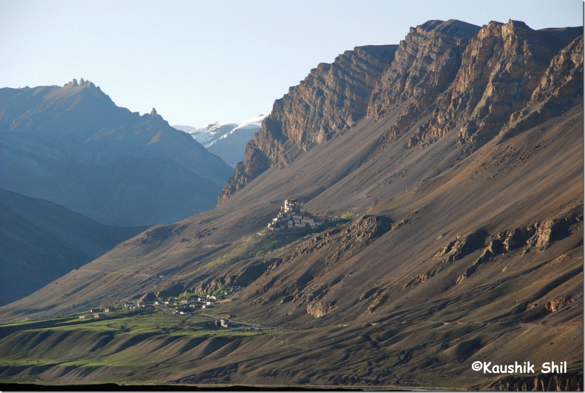
20290_Kye Monastry from Rangrik Hotel Spiti Sarai

20th June:

The food was so good in Spiti Sarai, we planned for the lunch here too and planned to visit Kye/Kibber/Tashigang in morning after placing the order for lunch. Kye Monastery is in a lovely location and can be seen from the hotel itself in the backdrop of colored mountains. The views from Kye towards valley is amazing. We moved towards Kibber and clearly could see Chichim and Kibber in same frame, Parilungbi River flowing in between. This region starting from Chichim, across Parilungbi river Kibber, Gete, Tashigang and then across Shilla Nalla Langza, Komic is called pasture country, having an appearance of a plateau high above the valley with meadows and sharp cliffs falling sharply to main valley and striking appearance of two left bank tributaries of Spiti, Parilungbi and Shilla flowing through narrow gorges. From Kibber the famous Parang La pass trek starts towards Tso-Moriri in Ladakh. Chicham is not motorable from this end but having road connectivity from other side, a place called Kiato. (Towards Losar from Kaza) From Gete, walk till the start of the trail going down to Kye Monastery and you would be rewarded with an awesome valley view having Kaza and Rangrik in same frame. The road from Gete to Tashigang is very bad with lots of places full of mud where you can get stuck easily. In such a place, we stopped our vehicle and started walking forward through a well marked dirt road. We walk for almost one and half hour and the result was amazing, we could see Langza far away across Shilla Gorge and then got the best view of Chau Chau Kang Nalda at right and Kanamo at left. Both are brilliant with all white views and lots of fresh snow in June. If one can stay a night at Tashigang (not sure if any accommodation is available there as only couple of houses I could see within my 360 degree views from there), I think it would be worth experience as the place is awesome with brilliant views of all high peaks and colorful panorama of pastureland. I would be back here for sure. While returning we found a Sumo got stuck in mud that left at least 40 mins before us from Tashigang in it way back to Kaza. Driver was busy with all sorts of tricks and almost opened the whole toolbox and seems to have already tried all means. The passengers seems to be young couple who were quite scared as the rear right wheel was very badly stuck. Vinkal joined the fray and when nothing worked, he asked all of us to come down from our car and gone into the back seat of Sumo. When all of us cramped in back, rear wheel ultimately got some grip and yes it was able to come out of the ditch. Next was our turn and we put some stones, pebbles to make it much easier and came out without any hassles. When we reached Kaza it was almost 2.00pm (the walk in Tashigang helped us to offshoot the estimated lunch time we told in hotel but again it was worth), enjoyed the nice lunch, quickly pack ourselves to start off for Losar. This is another memorable stretch from Rangrik to Losar and each of the villages enroute are awesome with some very scenic canyon drive. Pangmo flat was awesome in this journey along with hoodoos formation near Kiato. We reached Losar and stayed at PWD GH, which was undoubtedly the best place to stay here. We experienced an awesome sunset and sunrise from Losar, it’s very windy place but simply out of the world because of the location.

Spiti Valley from Kye Monastery:

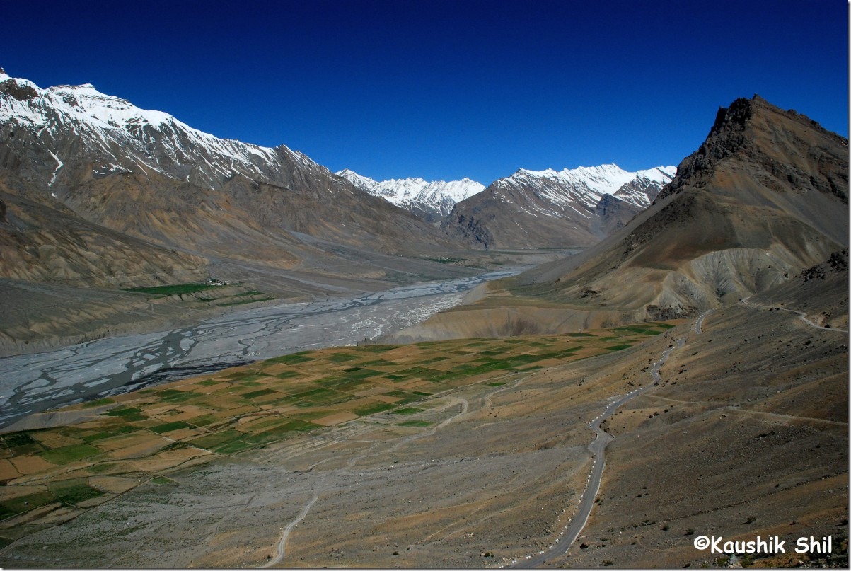
20327_Spiti Valley from Kye Monastery

Kye Monastery:

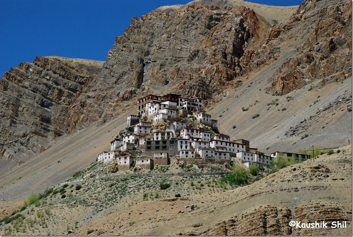
20434_Kye Monastery

Pangmo Village:

20467_Pangmo Village

Losar Evening:

20502_Losar Evening

21st June:

After an extremely comfortable stay in Losar, where we had room heaters, geysers, enough blankets and a very comfortable room with a nice dinner, we started next morning towards Kunzum. Vista got changed dramatically as we entered the snow zone with all white everywhere. Unlike Rohtang it was very clean and clearly quite a lonely pass to enjoy. In the temporary Tent of PWD on Kunzum top, I found the famous signpost where it was showing “Chandratal 14.5 km and Jeepable 13.5km”. They removed the signpost even from Batal link road and that is quite an indication they are in no hurry to open the road this year. I had nothing much to do as the other trek route from pass that almost goes down all the way to lake after a small climb in pass, was full of snow. The PWD local fellows also advised me not to trek the route all alone and asked me to checkout the Batal route. But Batal route is close to 14km and trekking both way in one day from there would be almost impossible with my fitness level. Accommodation for family there in Batal was another problem and of course I could see weather is going to get bad from 25th onwards and before that I needed to be back in Manali after covering Lahaul, so I decided to skip Chandratal and taken a decision on spot to comeback for this divine lake again sometimes soon. The descent from Kunzum towards Batal was worse than ascent from Losar and very soon, I could see the Chandra River down below and the famous link road to Chandratal that was blocked at least 4/5 places with snow as long as I could see from top. Reached Batal and heard the harrowing story of those school kids who got stuck there for 10 days from Batal dhaba owners. Even a German Cyclist was killed due to Avalanche on the fateful days of 7th to 9th June with huge unseasonal snowfall in the region. Batal itself had 4 ft snow then and the original road is completely abandoned now and PWD made way for a new road just beside the Chandra river for first 6 km from Batal to Chotadhara. Going through some arduous stretches with scary water crossing, high snow walls, glacial zone of Bara Sigri, some nice meadows the road goes towards Chotadhara, Chatru and finally Gramphoo for almost 60 km. It’s just making way for humans rather than calling it a road. I understood why only high ground clearance cars are advisable here when I crossed the section. Weather was brilliant all across and when we reached Gramphoo and hit Manali Leh road, still we couldn’t believe we are so close to Chandra Valley, Same Chandra River was still flowing with us but hats off to BRO for making an excellent wide road in such a difficult terrain. Actually you would feel any road brilliant just after covering Batal Gramphoo stretch. In Khoksar we took lunch and met the cordial PWD asst engineer to get the stay warrant for stay at Sissu and Gondhla on 22nd and 23rd. Due to VIP Visit we got it in reverse order than what we wanted and as a result had to travel 50km more. Soon came across Pagal Nallah of Sissu and it’s really Pagal specially in late afternoon. Lahaul valley is much greener than Spiti and farming is more noticeable across the valley. Reached Tandi by 5.00pm and the road was excellent except a 10km stretch between Sissu and Gondhla. Made the fuel tank full and discovered all hotels of Keylong were full with almost zero availability. It’s full of bikers and tourists who were stuck there for days as Barlacha was opened just a day before. Lotey again came into our rescue as we didn’t hesitate to call him straightaway to Kaza. We got a nice room in Hotel Dekyd for 1200 just because of his contact and the hotel was very nice.

Losar Morning:

20538_Losar Morning

Approaching Kunzum:

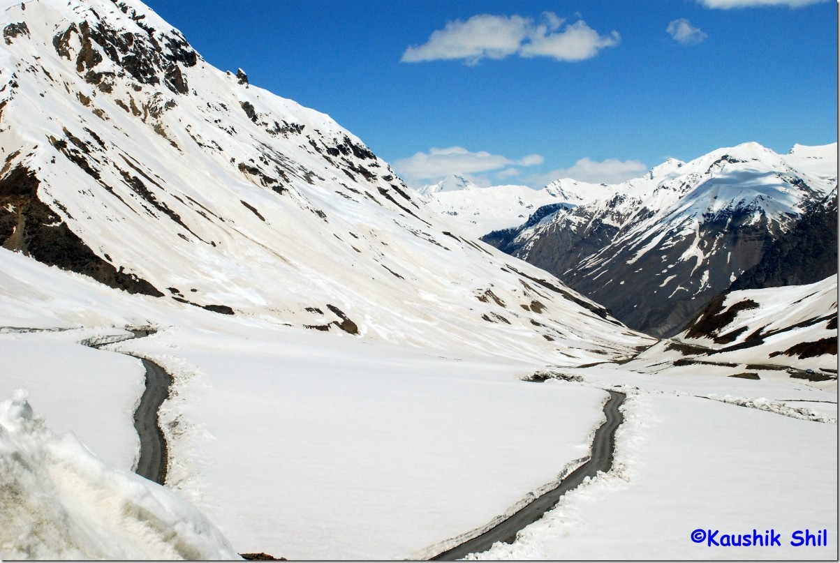
30034_Approaching Kunzum

Kunzum Top:

30035_Kunzum Top

Chandra River and on the right in white Batal Chandratal Link Road:

30056_Chandra River and on the right in white Batal Chandratal Link Road

Ice Walls Continues:

30097_Ice Walls Continues

Quite Chilling:

30164_Quite Chilling

Journey Continues through Greener Lahaul:

30293_Journey through Green Vista close to Tandi

Gondhla on the way:

30289_Gondhla on the way

Valley Turns Greener:

30292_Valley Turns Greener

Journey through Green Vista close to Tandi:

30293_Journey through Green Vista close to Tandi

Previous: Himachal Pradesh – Kalpa and Into the Thin Air Of Spiti Part-1

Next: Himachal Pradesh – Lahaul, Land of Folklores and Tirthan Valley

Himachal Pradesh – Kalpa and into the thin air of Spiti Part-1

15th June:

My luck with weather continues with another brilliant morning there, I decided to go for Nagasthi ITBP camp walk in the early morning and it was awesome. This is the place where the famous Har Ki Doon Trek starts or ends and this valley connects with many famous valleys of Uttarakhand. We took lunch in Panchali itself and started around 12.30pm for Kalpa, intention was to catch the sunset there but for the first time in afternoon sky turned cloudy and weather started behaving differently. I heard about 3 hotels in Kalpa, HPTDC was one of them that flatly refused to talk stating all their rooms are filled up even though I saw just 2 days back they have plenty of rooms specially in above 2500 range. Hotel Kinner Villa is nice option but they have good room only for 15th and 16th they were shifting me to a backside room. Golden Apple is the third, I heard a lot about and it also could offer only a good room for 15th. I somehow ignored Rakpa Regency though Vinkal repeatedly told me about this and later repented a lot for this. Golden Apple room was ok but toilet was not that good, geyser was not working. The worst experience I had with food and such a half cooked chicken they offered, I still have a nightmare and couldn’t have chicken since then. The Hotel also doesn’t have a good lobby/terrace to enjoy Kailas range, so called side view rooms were simple horrible and you would be in a difficult situation unless you get a front facing room there. It’s quite costly too; as a whole I won’t recommend this hotel to anyone. With bad weather and shattered dream of a divine sunset, the matter got even worse and I decided to shift to some other places on next day.

Good Morning Chitkul:

10383_Chitkul after Sun Down 10394_Chitkul Morning

Trek to Nagasthi:

10411_Trek to Nagasthi

16th June:

My alarm went on at 5.00am but I could hear raining from bed itself and with the time rain was getting heavier. The reversal of good luck in start of the trip continues as around 9.00am I have scrapped the idea of walking to Chakha. At 11.00, the moment rain gets lighter, I started exploring the other hotels and found Rakpa completely vacant. Chose the room no 405 at top floor with a nice terrace, attached balcony and awesome views of surroundings. Rent was 1000 as compared to 1700 of Golden Apple. With change of hotel, luck also started swinging back and we decided to go to Peo for lunch and some marketing as next day we would start for Spiti. Little Chef was a brilliant place to eat in Peo and with 2 cartons of mineral water (24 bottles of 1 ltr each) and filled up fuel tank of Scorpio, we were all set for next day. We went to Roghi in afternoon, amazing cliff and terrific fall below. This is the actual HT Road again from Poari towards Khab via Chini Village (Kalpa). In the evening, more bad news came as we met a group of people from Kaza who returned after waiting unsuccessfully for 4 days to cross Kunzum Pass. I called Lotey (Ramesh), the extremely helpful person who owns Spiti Sarai Hotel there and Spiti Holiday adventure a tour organizer in valley. Thanks to Voyager for giving his contact. He assured me telling it would be open soon may be in a day (that he used to tell me from 7th, the day Kunzum closed after sudden snowfall) and I have nothing to do rather than praying for it. My Tata Photon got dead after Sarahan but Airtel came alive after entering Kalpa. I was frantically checking IMD and Accuweather through cell GPRS and only hope was next 4/5 days were predicted as dry in both the sites.

Kalpa Village waking up:

10503_Kalpa Village waking up

Majestic Kinnaur Kailas:

10513_Majestic Kinnaur Kailash

17th June:

I woke up around 4.30 and the stars in the morning sky made it clear that a brilliant day is waiting for us. The next few hours were amazing with an unforgettable sunrise in Kalpa with crystal clear Kinnaur Kailas Range in hand shaking distance. Started at 7.30am in morning hits NH22 again and move towards Spillo. Seen the right diversion towards Namgiya and Shipki La and left towards Ropa valley. The road was almost all the way good but turns better after Khab Bridge. I remembered to catch a glimpse of Reo Purygal, highest peak in HP from Khab Bridge as mentioned by my friends. It was awesome, the road started to go up after Khab and a signpost marked clearly Yangthang ahead in old road and Nako on the top in new alignment to bypass Malling. New Monastery of Nako was good but best is the sight of Reo Purygal again from there. Visited Nako lake and village for some time, watched quite clearly the old Malling road that was completely destroyed for 200 mtrs in between and new road alignment at top. Around 1.00pm started from Nako and proceeded towards Chango where the old Malling Road meets with new alignment on other side. Chango to Sumdo was mainly through deep canyons of Spiti which was with us since Khab. Pare Chu meets Spiti at Sumdo and yes in right we found NH22 gone up to Kaurik for another 17km. Kaurik is not open for civilians without permit and probably an unique place that is completely destroyed in 1975 earthquake where as the name is still being used in all milestones. We left NH and started with SH30 from Sumdo as we enters Spiti. Land Scape changed completely after Nako with all barren mountains and some typical air erosion patters picked up straight from geography text books. Took a detour of 12 km one way to Giu for that famous Mummy, a bigger temple kind of structure is being built there where mummy would be kept, saw the hair of Mummy but not sure if they are still growing as claimed by many. Hoorling comes once you hit SH30 after Giu. The road is worst here and this part was closed for a day in first week of June shutting Kaza – Peo link. Then We reached Tabo around 4.30pm and found Trojan GH vacant yet pricey, Mentok Dumra little too basic, surprisingly didn’t find San Maria at all in that small town which otherwise was a famous hotel. Lotey again became savior and directed us to Diket Norphel and later we found this is nothing but lost San Maria that changed the name now. So first floor room there at 500 was extreme value for money. The food was good and hotel was extremely clean. Visited Tabo Monastery and brilliant paintings there are quite mesmerizing.

Brilliant Morning from Terrace of Rakpa Regency:

10529_Brilliant Morning from Terrace of Rakpa Regency

Nako Village:

10647_Nako Village

Spiti Valley:

10747_Spiti Valley

That is Tabo:

10760_That is Tabo

1000 years old Tabo Monastery:

10763_1000 years old Tabo Monastry

18th June:

We didn’t do breakfast but got some Alu Paratha from the hotel and left by 7.30am. First destination was Mane Village, seems to be greenest in whole Spiti Valley, this is the place where Gunsarang and Manirang Pass trek starts that connects Ropa Valley. The site of Spiti Valley and SH30 was amazing from here. Manerang Ranges were at touching distance and both upper and lower Mane villages are very green. After Mane reached Schichiling but skipped Dhankar as our plan was to do a night stay there. From Attarago turned left towards Pin Valley and experienced some best panorama in whole Spiti Valley. Pin’s color is turquoise compared to muddy Spiti, Gone to Kungri Monastery, attended prayer there, From Kungri, Pin Valley looks awesome, reached Sagnam that itself is a very scenic place and after Sagnam road bifurcates to Mud and Bhaba/Pin parvati pass onwards and other fork goes to Talling and Kuokti Valley, this is the starting point of Larsa Pass Trekking towards Spillo at Kinnaur. Mud is having couple of accommodations and had a nice lunch there. Anyone would be surprised with the colors that Pin Valley can offer. We came back to SH30 and then gone other side towards Lingti Valley. The vista is completely different yet very attractive as we proceeded towards Lallung. There are apparently 2 roads marked for Lallung, one through Rama and Lingti Village that is extremely rough and as per local couldn’t connect to lallung yet as the board at SH30 claims. The other road as part from Pradhan Mantri Gram Sadak Yojna starts again from SH30 and links Lallung, we took first route first, abandoned it little later and then took the second route to reach lallung. The Kamelang peak rises dramatically behind Lallung village and the old monastery there is worth visiting. We tried to took the short cut from Lalung to Dhankar by another gravel road and within 500 mtrs of Dhankar discovered the road was cut off in between due to a bridge work. We had to trace back all the way to SH30 and then through Schichiling reached Dhankar at 5.00pm. Gone straight to old Monastery and experienced awesome vista of Spiti Valley from Terrace. Got a nice room at 500 in Monastery Guest House with attached bath, geysers. Had a nice dinner and ended a busy yet very satisfying day.

Mane Greenest Village in Spiti Valley:

10825_Mane Greenest Village in Spiti Valley

Spiti River Gorge SH30 on Right:

10831_Spiti River Gorge SH30 on Right

SH30 goes beside the River towards right Tabo and left Kaza:

10834_SH30 goes beside the River towards right Tabo and left Kaza

Spiti Valley:

10848_Spiti Valley

Pin Valley:

10873_Pin Valley

Small Village Pin Valley:

10888_Small Village Pin Valley

Colorful Pin Valley:

10900_Colorful Pin Valley

Pin Meets Paraiho just before Sagnam:

10910_Pin Meets Paraiho just before Sagnam

Vista Opens Up at Mud:

10921_Vista Opens Up at Mud

Talling Bridge over Pin:

10936_Talling Bridge over Pin

Spiti Valley from Way to Dhankar:

20042_Spiti Valley from Way to Dhankar

Spiti Valley from Old Dhankar Fort:

20050_Spiti Valley from Old Dhankar Fort

Previous: Himachal Pradesh – Deb Bhumi Kinnaur

Next: Himachal Pradesh – Into the Thin Air of Spiti Part-2

Himachal Pradesh – Deb Bhumi Kinnaur

The Trip includes places like Chail – Narkanda – Sarahan via Baggi, Sungri, Taklech, Dharanghati, Mashnoo – Chitkul – Kalpa – Tabo – Pin Valley – Kaza – Losar – Kunzum La – Gramphoo – Sissu – Keylong – Baralacha – Udaipur/Trilokinath – Manali – Sairopa – Jalori Pass – Naldehra – Mashobra – Shimla.

It was trip from Kolkata to Chandigarh via flight and then taking a Scorpio for whole trip that picked up from Chandigarh and dropped us at Kalka after 17 days. We took Shatabdi to Delhi and Duronto on next day for coming back to Kolkata.

Start Odo Reading at Chandigarh Airport: 32001
End Odo Reading at Kalka Station : 34203
Total Distance Travelled 2202 km

The initial trip was planned from 19th June to 4th July that needed to prepone by a week round last week of May due to some urgent work that came all of a sudden like a Himalayan Western Disturbance. On one hand it resulted in a complete change in itinerary, air/rail tickets, straight away forfeiting 20% of booking amount with HPTDC Hotels and many uncertainties, on the other hand it gave me much more flexibility and most importantly I got the best possible weather of June 2010, a month that would be remembered for quite long due to some un-seasonal rain, heavy snow and record late in pass openings. On Accommodation front, my only pre-booking were at Narkanda, Sarahan and Chitkul.
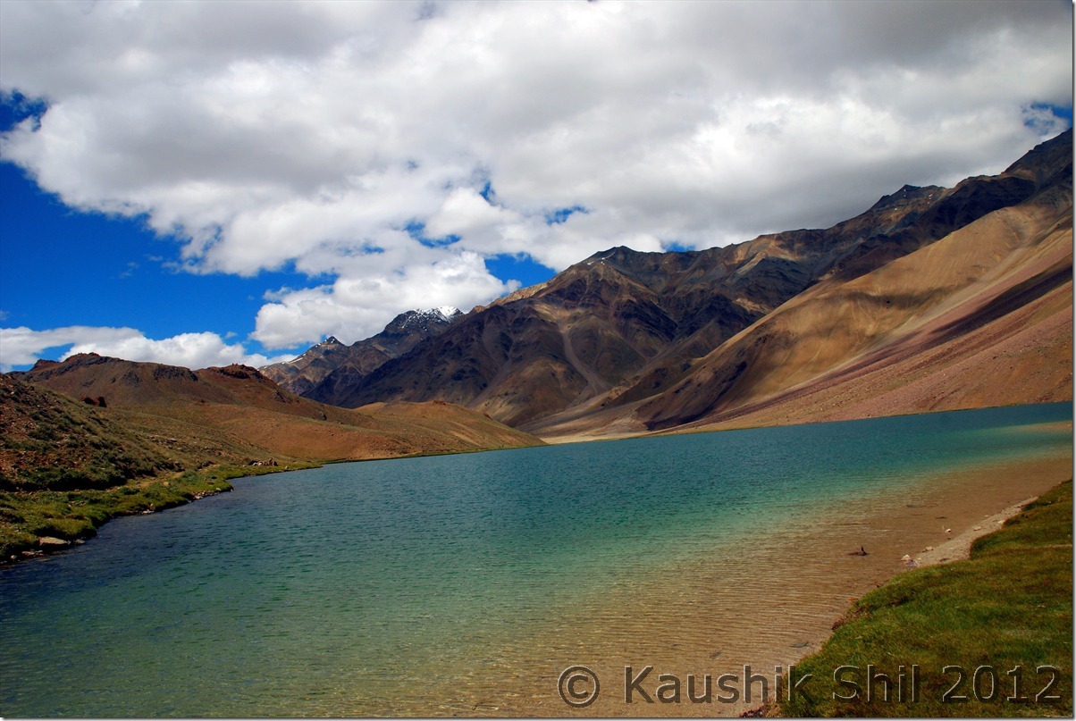
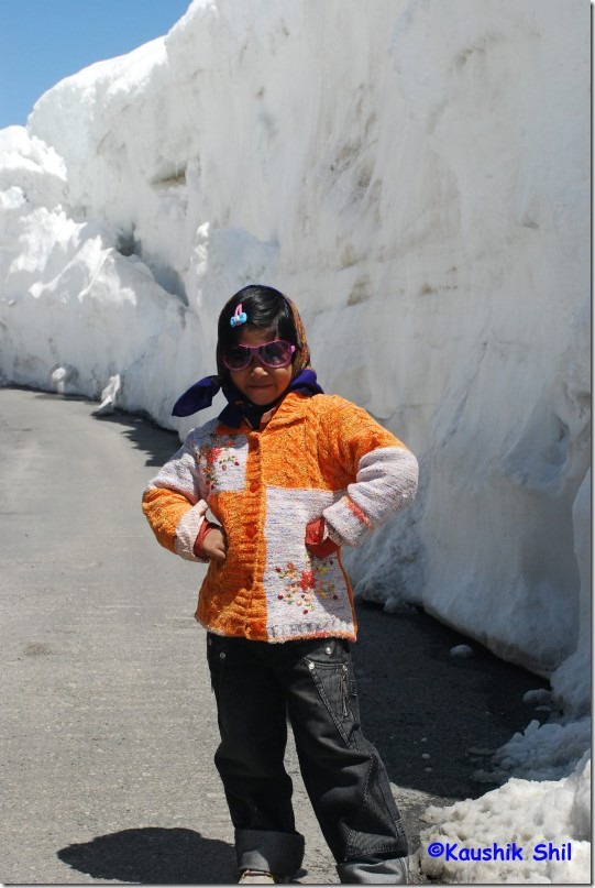
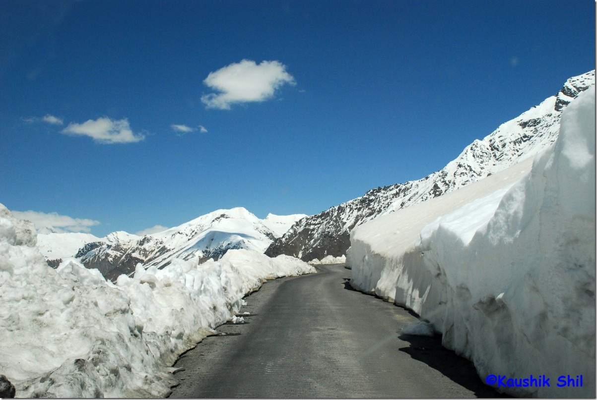
11th June:

As a late riser I do hate early morning flights but Jet Connection at 6.30 in the morning was too lucrative to miss as I could reach Chandigarh Airport by 10.15am and that means utilizing the whole day. Actually reached 15 mins late at 10.30am and found Vinkal (my driver for this trip) was waiting with the 2009 model Scorpio(HP-02A- 2200) just outside the airport. I got some snaps of car and driver before hand and the deal was Rs.2200 per day inclusive of everything. By that time I spoken to the owner and Vinkal for at least 4/5 times and discussed the route and clearly communicated the route I am planning to take, an important thing, one shouldn’t miss if you want a hassle free journey later. There was no advance as I clearly mentioned I won’t pay unless I get a ride in the car 🙂 Ultimately I was so pleased with the Car, I decided to pay 50% on that day and called owner to come to either kandaghat or Kufri to collect it. Reason is few experienced travellers advised me to take the scenic Chail Route if possible. It’s a worth journey through the route bypassing Shimla completely and Chail Palace was a place we really liked except the monkey brigade there. Left Airport around 11.30am, took lunch break at Giani Dhaba, Dharampur for an hour, packed up the Scorpio with dry foods and 6 cans of mineral water 5 ltrs each and with a stoppage at Chail palace for 45mins,some photo stops, finally reached Narkanda round 7.30pm, when sun just sets into the mountains. As a first day of trip, I pre-booked Harsh Villa, Narkanda through HPTDC Website only and if you can tolerate the entrance that is little steep, rest is complete value for money for Rs.550 a day. If possible take a 1st floor room and the Himalayan Vista from Room and attached balcony was awesome. I had some very good snaps from this balcony itself. The guy could bring in dinner/lunch from local restaurants for you without taking any extra charges and suddenly at night with all blankets we feel heavenly after escaping from a pathetic 38 degrees in Kolkata.

Chail Palace:

10002_Chail Palace

12th June:

Next Day, rather in all subsequent days I made sure that I get up before sun and can start the day with a beautiful sunrise. My alarm was fixed at 5.00 in the morning for next 17 days. Started around 8.00 in the morning for Hatu Peak drive and the road was awesome. Only concern is the temple that is being built there, not sure whether the same serenity would be maintained when the temple would be open for all. PWD RH on Hatu peak is still not operational as there is no electricity there at top. But I wish I could stay a night there sometimes in future, such an awesome location it has. Came back from Hatu peak, strolled around Narkanda and the ski ground was great, a local cricket match was going on there, by the way Cricket seems to be tremendously popular in whole Himachal even in the remotest places. The afternoon was planned for driving to the Thanedar/Kotgarh areas, the apple orchards of Himachal. Nice places all through and finally spending a nice afternoon in Tani Jubbar Lake.

Hatu Peak PWD GH:

10039_Hatu Peak PWD GH

Thanedar Apple Orchard of HP:

10069_Thanedar Apple Orchrad of HP

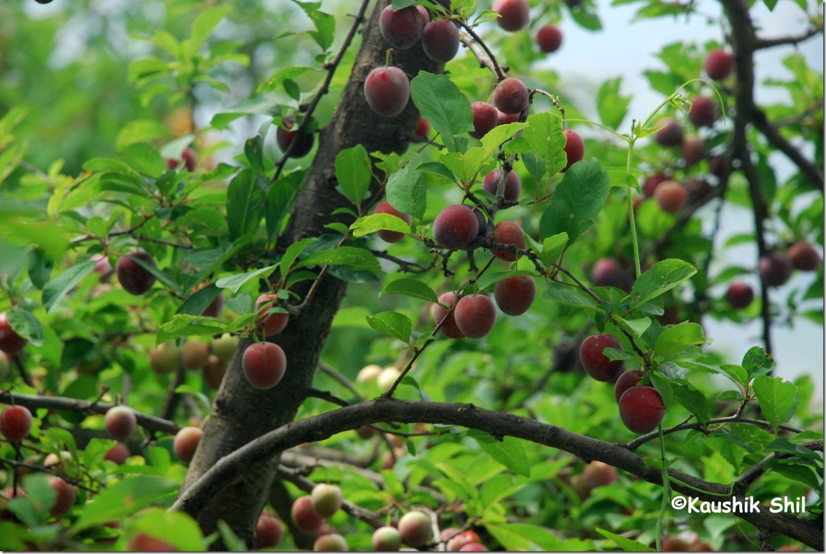
Apples:

10085_Apples

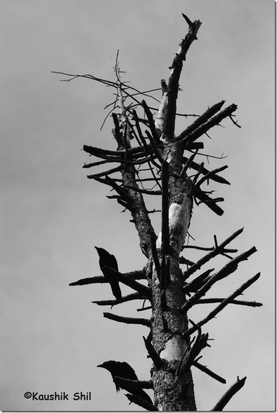
Lone Tree:

10094_Lone Tree

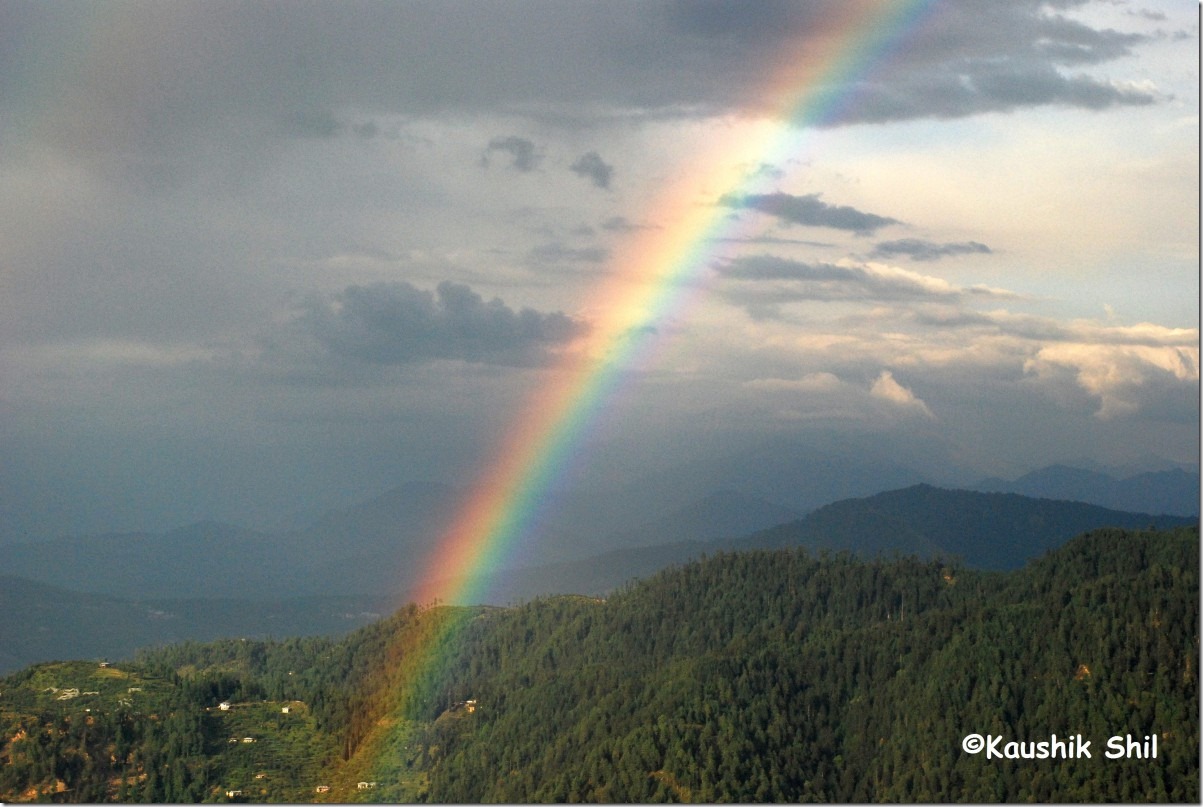
Rainbow:

10107_Rainbow

Sun Down Narkanda:

10116_Sun Down Narkanda

13th June:

Kept a close eye on weather as my data card was still working, This was a day when I was planning to take a little off route to reach Sarahan and praying hard for a nice weather. Instead of taking NH22 via Rampur, I chose the route that British people started using to avoid hot Sutlej Valley and later established as a preferred alternative as part of Old Hindustan Tibet Road. The route was from Narkanda to take Baggi, Khadrala, Sungri, Taklech, Dharanghati, Mashnoo to reach Sarahan. The Baggi to Sungri Stretch was extremely rough and surely didn’t get any kind of maintenance for at least a year though buses ply in the section. From Sungri road becomes suddenly better and it was quite good road till 10km ahead of Dharanghati. Dharanghati – Mashnoo was complete offroading through dense forest region, an amazingly charming journey though and from Mashnoo to Sarahan again it’s a well tarred road. The whole section all along goes through higher ridges and utterly devoid of any traffic. You would get awesome vistas with awful roads. We started at 7.30 in morning from Narkanada and reached Sarahan around 4.30 in afternoon. Took a nice lunch break at Taklech and several other breaks in between. Sincere thanks to one of my friend for the idea of this route. Those who are interested can visit Saraikoti Temple from Dharanghati as it’s a divine place I heard. In Sarahan, we had pre-booking at Bhimkali Temple, a wonderful place to stay. In the evening we strolled to visit the Palace and Hawa Ghar on top, a nice place to see the Sarahan valley and in a clear weather you might witness a brilliant sunset over Srikhanda Range.

Colorful villages on the way:

10154_Colorful villages on the way

Road To Dharanghati:

10158_Road To Dharanghati

Journey through lush green:

10170_Journey through lush green

The Road towards Sarahan:

10171_The Road towards Sarahan

Evening in Sarahan:

10226_Evening in Sarahan

14th June:

The day started with a brilliant sunrise over Srikhand. We started around 8.00 in the morning from Sarahan, took a tea break at Jeori, experienced the worst section between Wangtoo and Karcham, SJVN and JP has almost ruined this entire part of NH22 and this region seems to be one of the highest producer of hydro electricity. I wish they could do some justice to the roads and infrastructure of this area as well apart from their business. Felt some relief after entering Baspa Valley but till Kuppa, the road was extremely narrow and the drive was quite scary. Reached Sangla by 12.15pm and took lunch, It’s quite a busy place with lots of hotels and we decided to move ahead until we reach Rakcham. Rakcham is a small village by the side of Baspa. We enjoyed a lot there, spending some nice moments beside Baspa before finally reaching to Chitkul around 3.30pm. Chitkul was simply a divine place and I discovered not only the Data card but also the Airtel Sim stopped working there. BSNL Sim works but without certainty, I found my hotel staffs almost doing acrobatic movements over terrace to catch BSNL signal. After sundown the serenity and cold icy air were hallmark of Chitkul. Probably I would stay longer here next time. We stayed in Hotel Panchali, valley facing first floor room was awesome but this is the place where I had to pay for pre-booking. I paid 1100 while booking from Kolkata and when enquired about rate pretending to be a potential guest, my heart was broken when I heard the guy telling “last price 550 saab, aur kam nehin hoga”. Chitkul is a place that might need pre-booking during puja holidays if mass tourism from Bengal is on, otherwise there are plenty of options unless you venture in an off season.

First Ray of Sun on Srikhand in Morning:

10245_First Ray of Sun on Srikhand in Morning

Srikhand Range:

10255_Srikhand Range

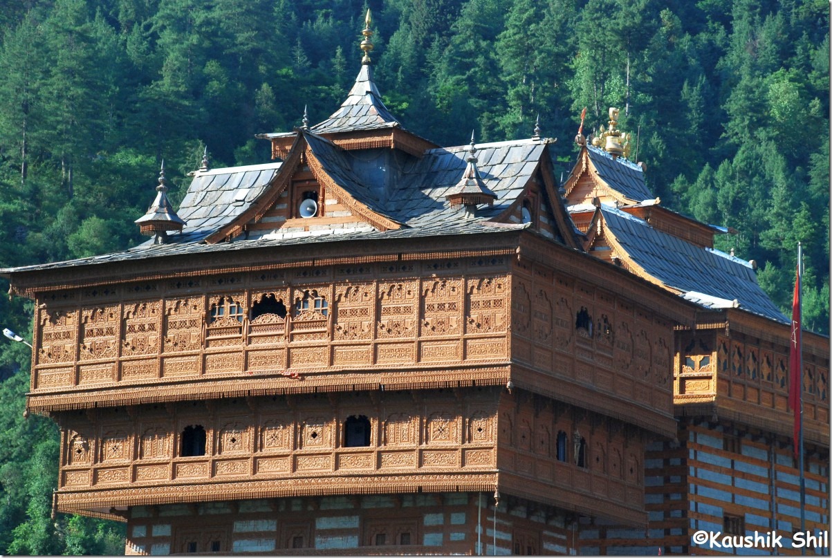
Bhimakali Temple Sarahan:

10260_Bhimakali Temple Sarahan

Hall Mark of Kinnaur:

10267_Hall Mark of Kinnaur

Sangla Valley:

10291_Sangla Valley

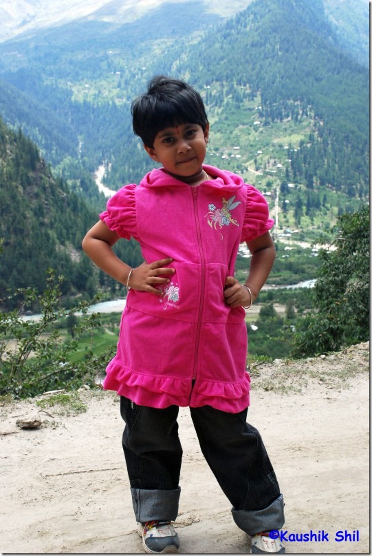
Posing in front of Camera:

10302_Cool Gal

Rakcham:

10330_Rakcham

Chitkul From Panchali GH Room:

10363_Chitkul From Panchali GH Room

Chitkul Afternoon:

10364_Chitkul Afternoon

Next: Himachal Pradesh – Kalpa and into the thin air of Spiti Part-1