Amazing Arunachal – Gelling Continued

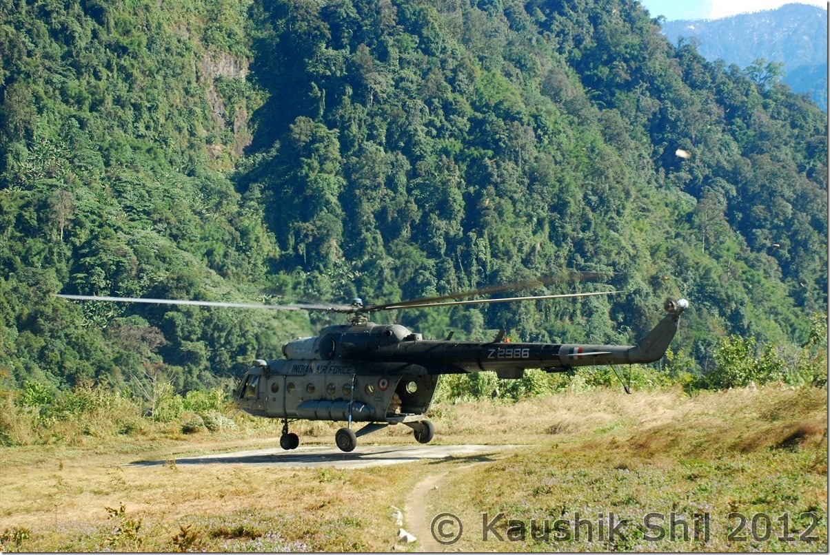
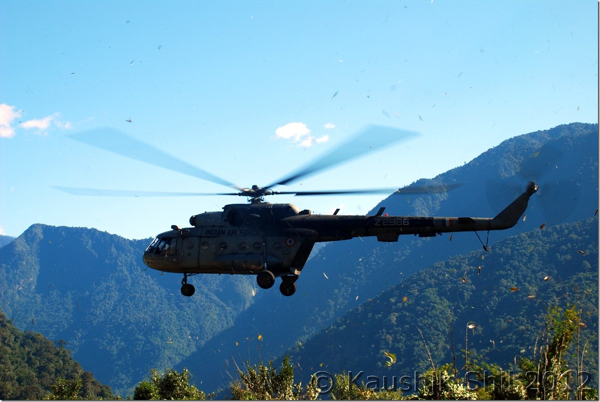
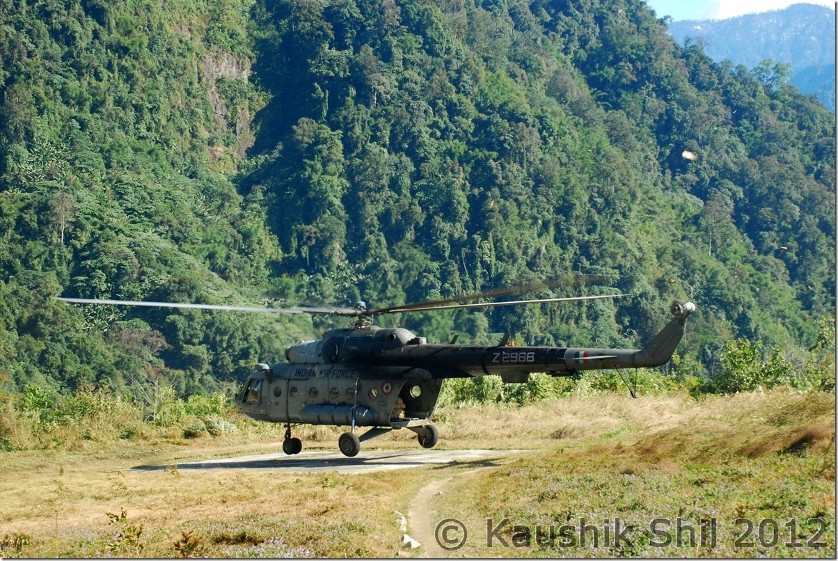
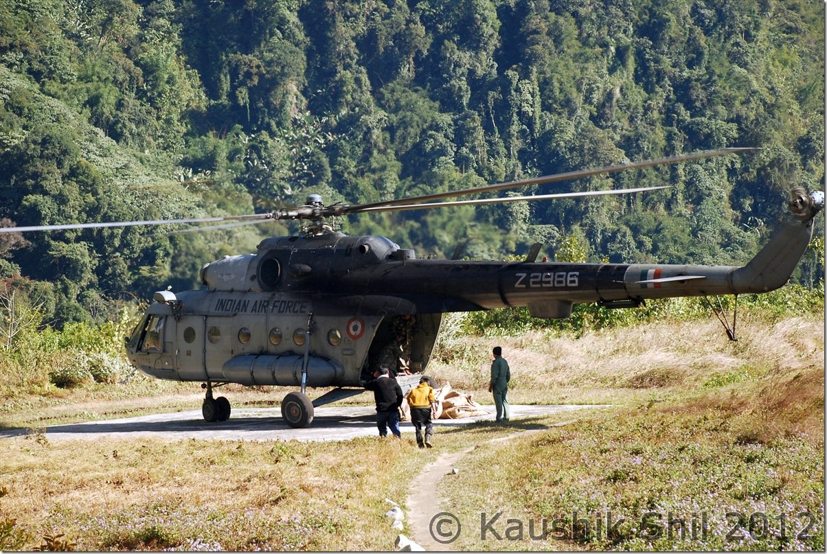
Indian Air Force Helicopter bringing weekly Rations for Locals:

DSC_0809 DSC_0812 DSC_0816

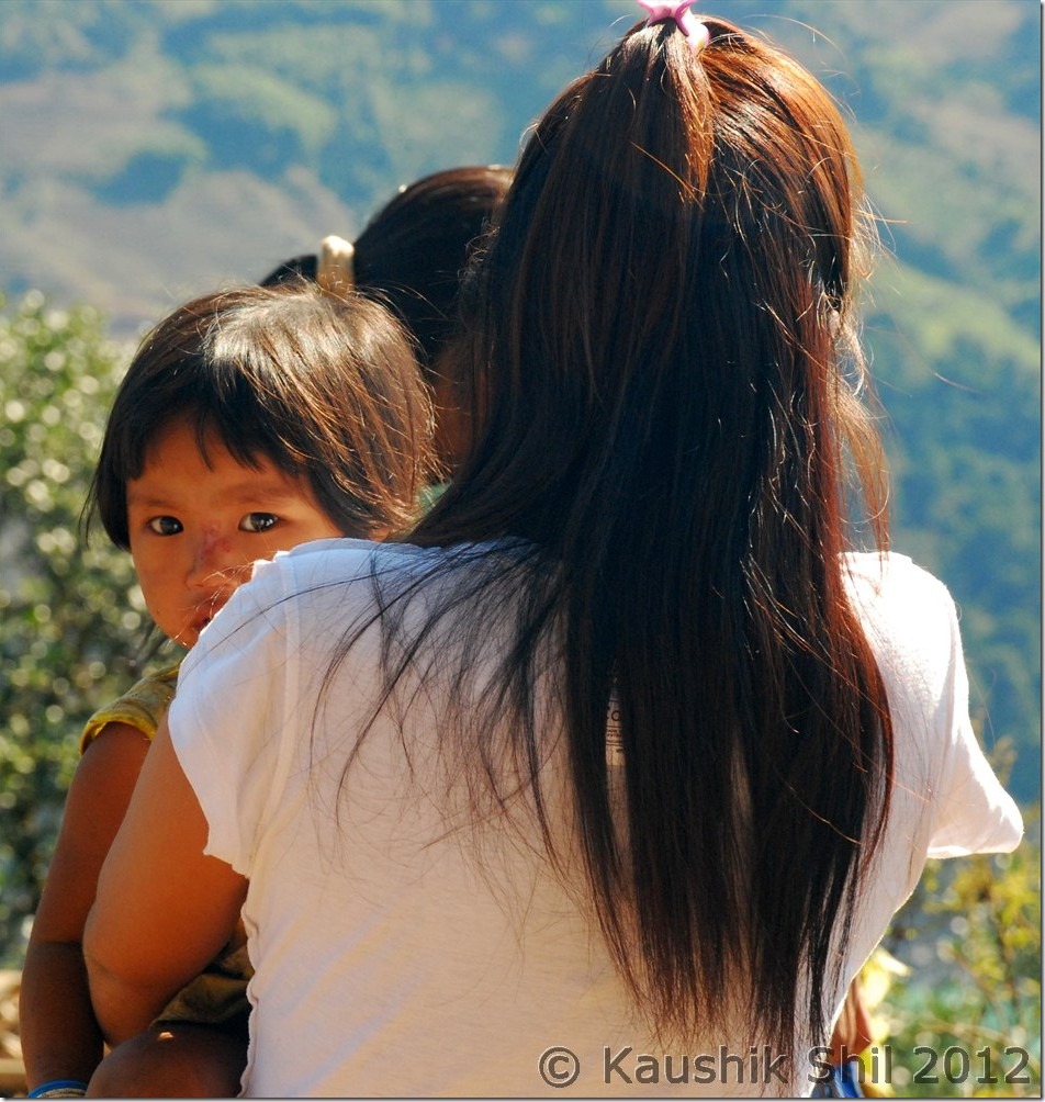
Glimpses of local heroes:

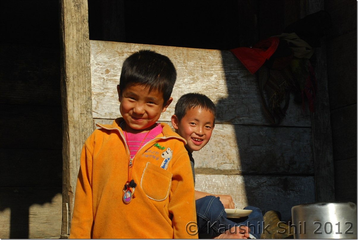
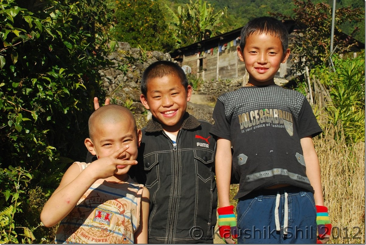
DSC_0831 DSC_0836 DSC_0837

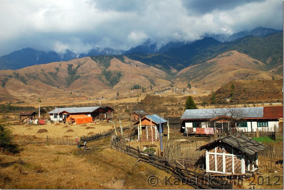
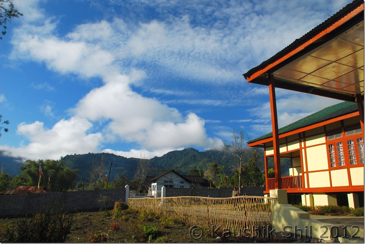
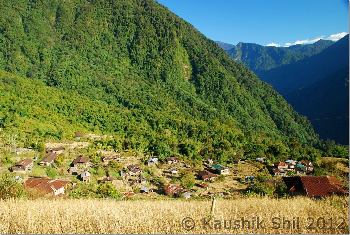
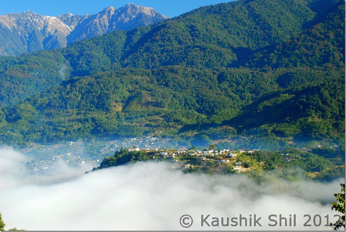
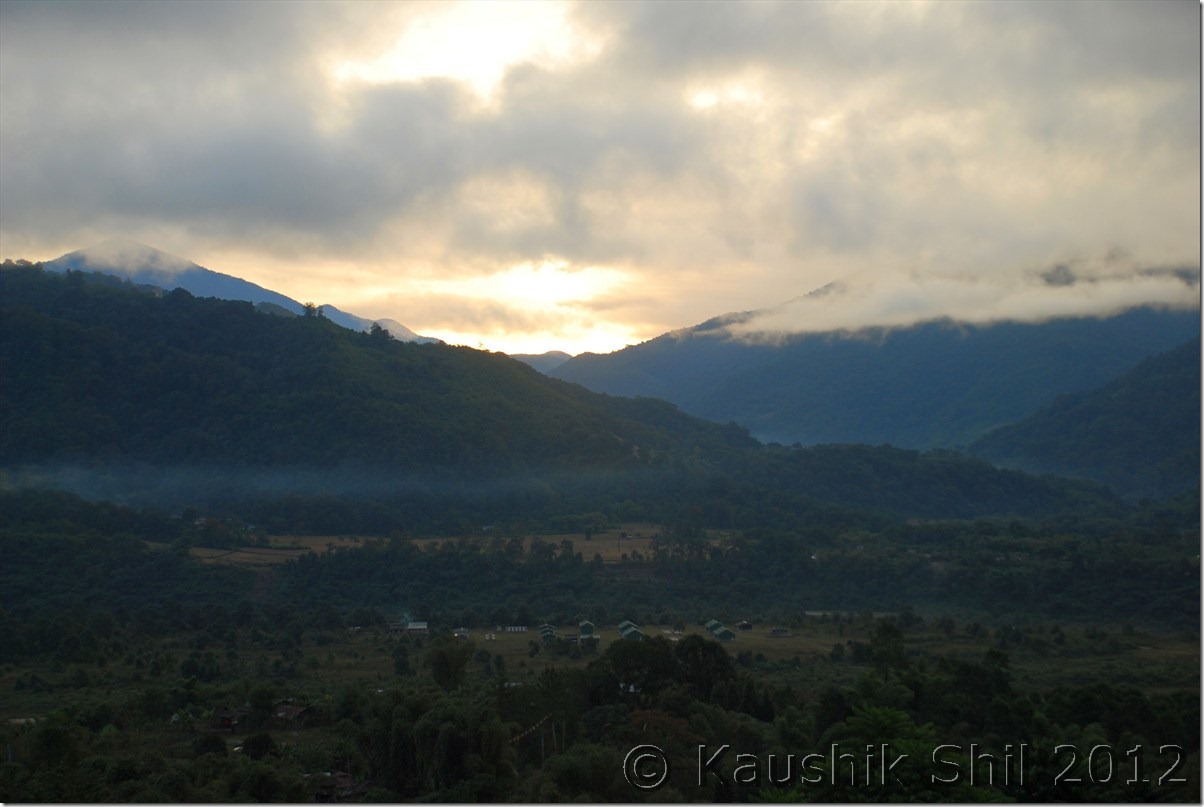
Pretty Village of Gelling:

DSC_0839

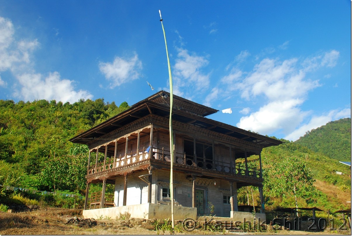
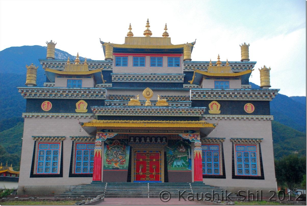
Gelling Monastery:

DSC_0842

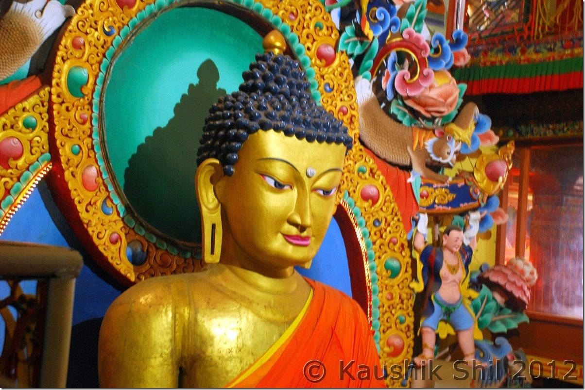
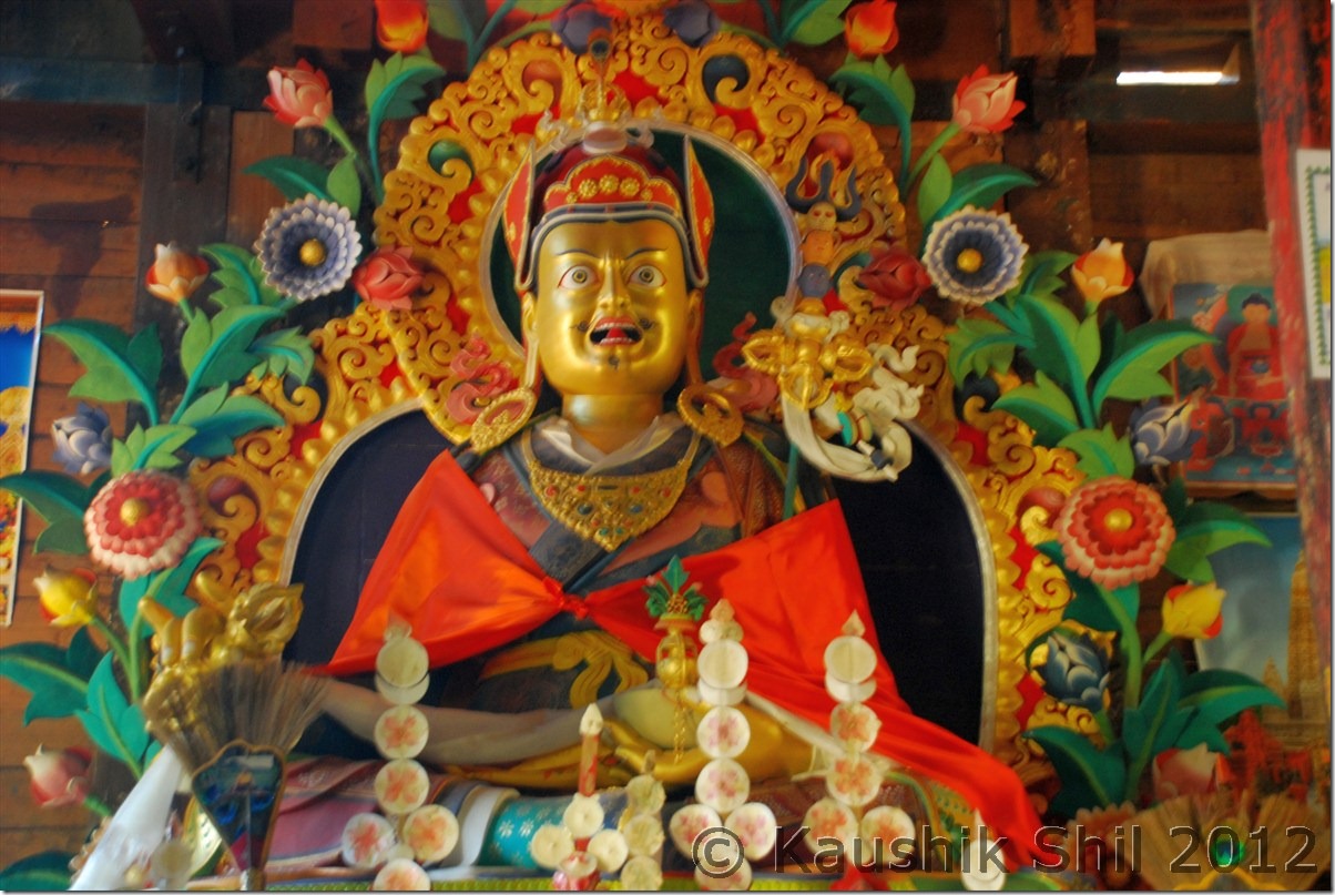
Lord Buddha in Gelling Monastery, looking angrily to the enemies (He was looking towards Tibet/China):

DSC_0843

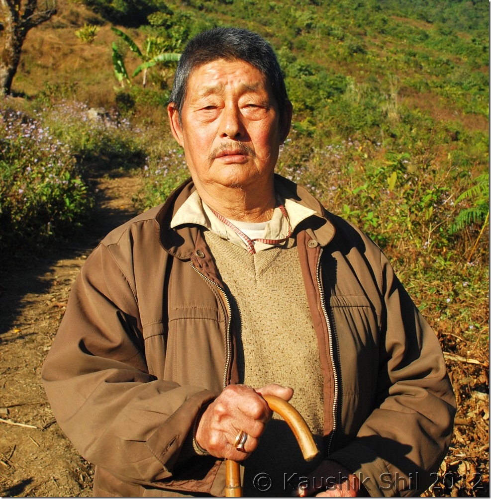
The elderly local who told us the old stories of Gelling:

DSC_0853

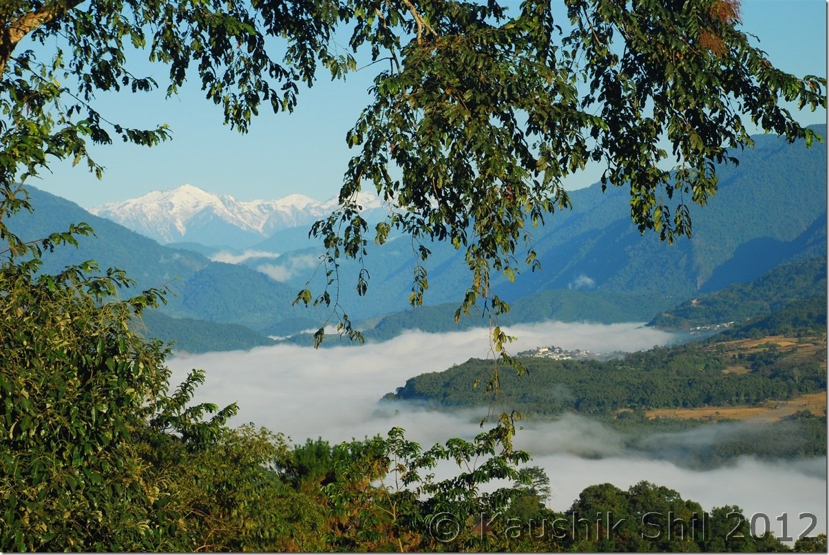
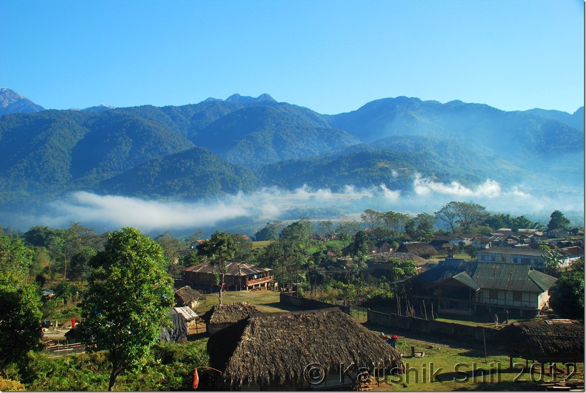
Gelling Village, Ridge Behind is McMahan Line, mountains further are in Tibet / China:

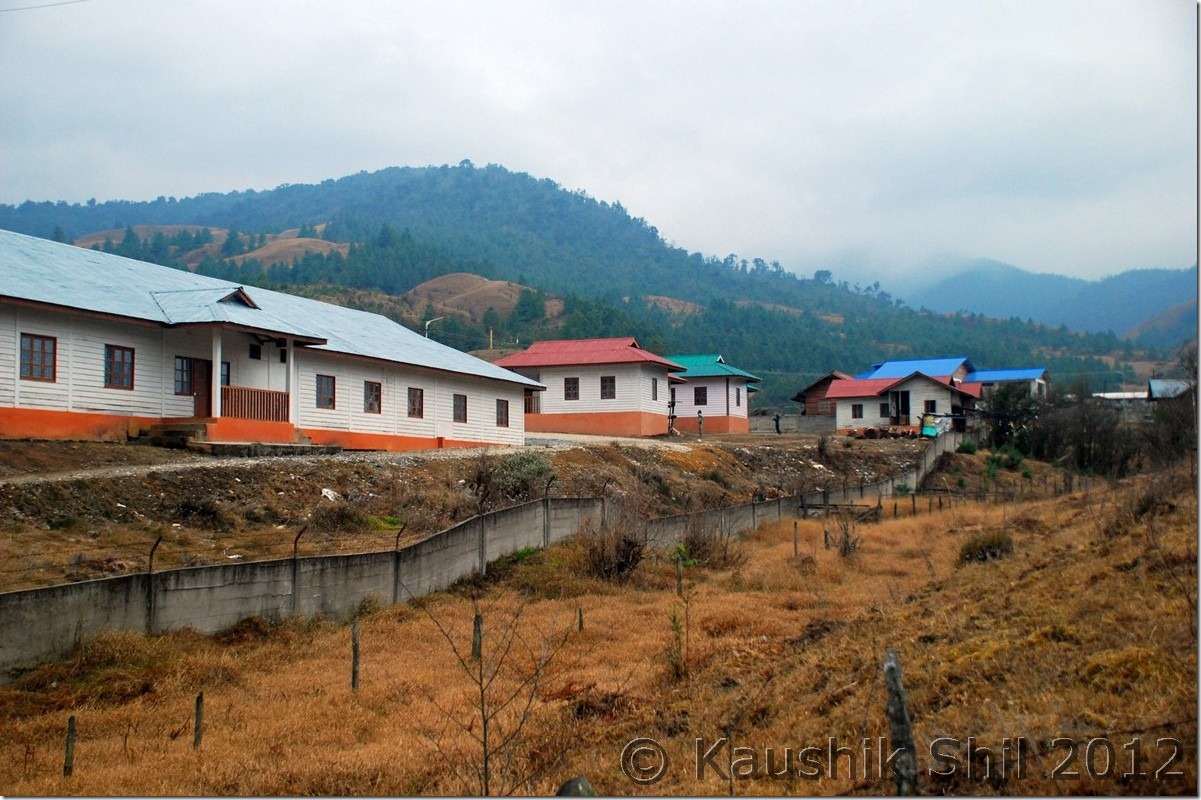
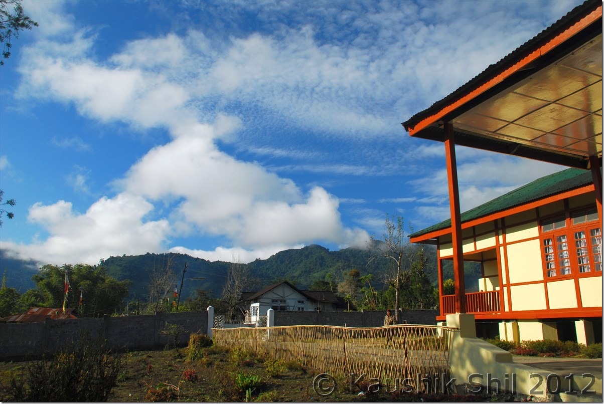
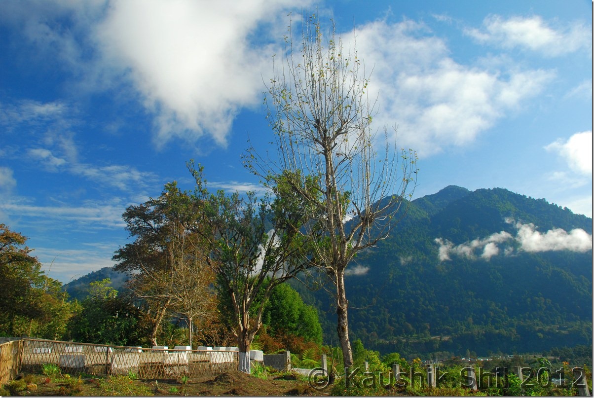
DSC_0854

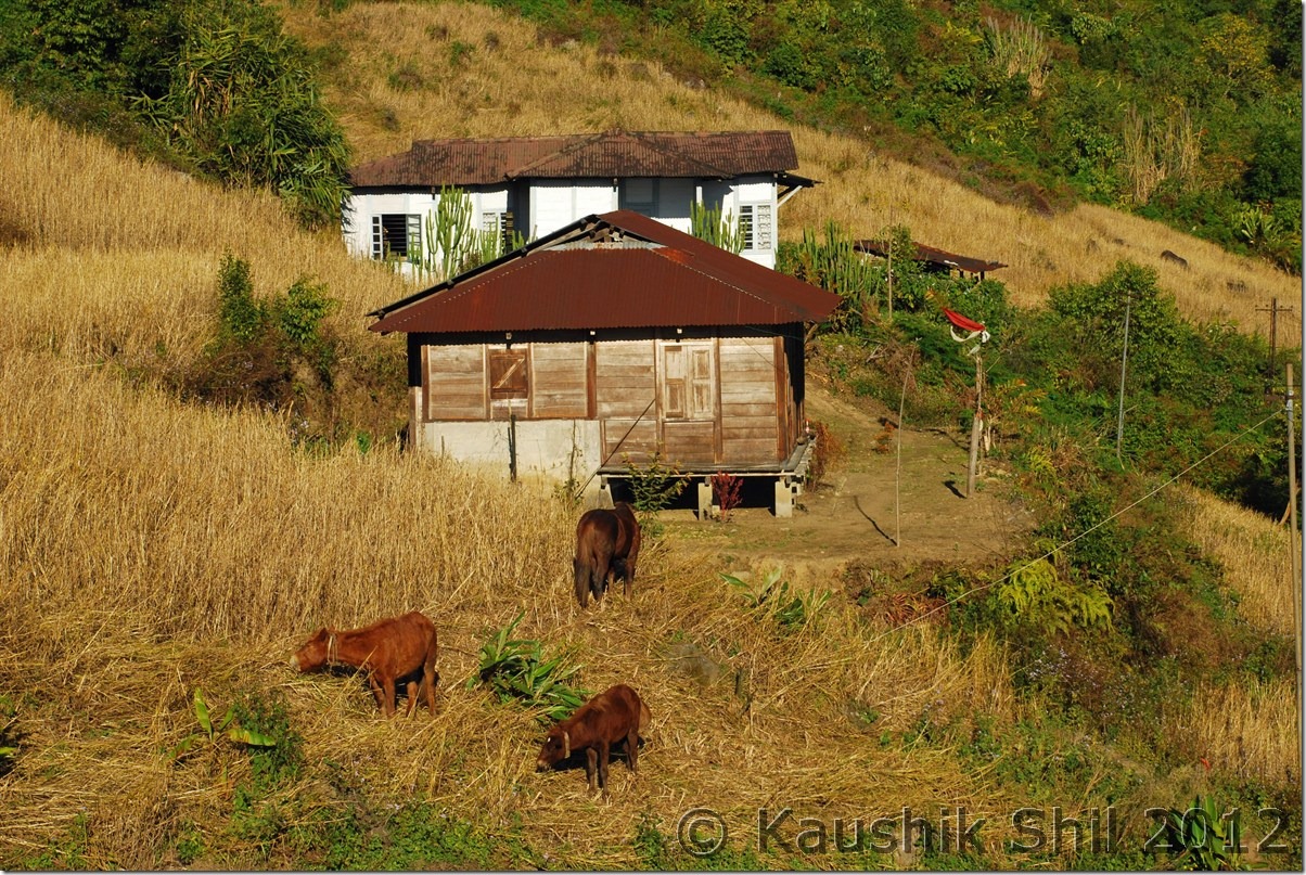
Gelling IB:

DSC_0857

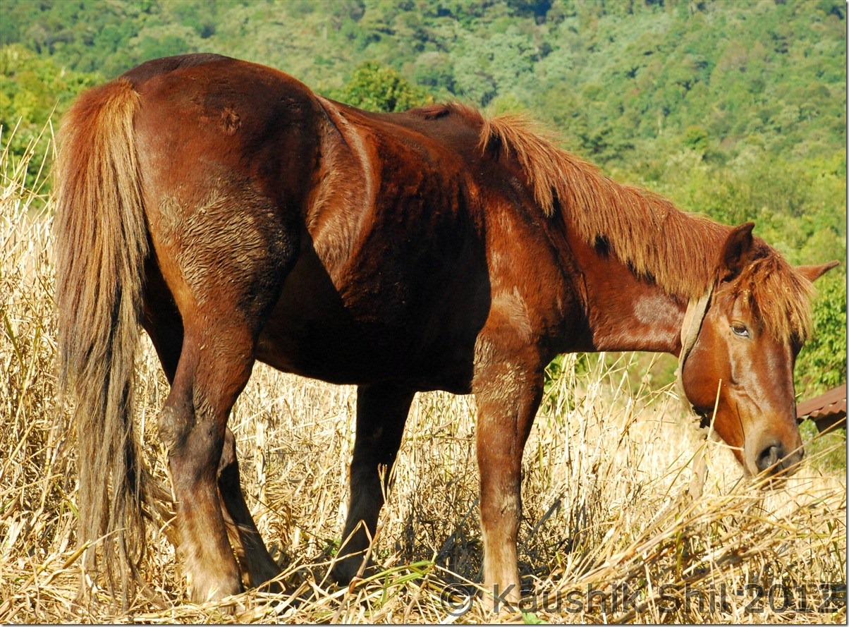
ITBP Horse to take rations to more remote areas across the border:

DSC_0859

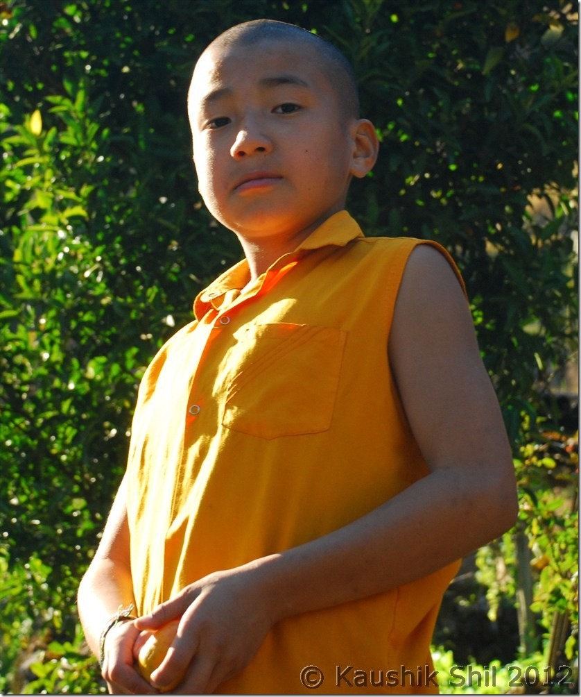
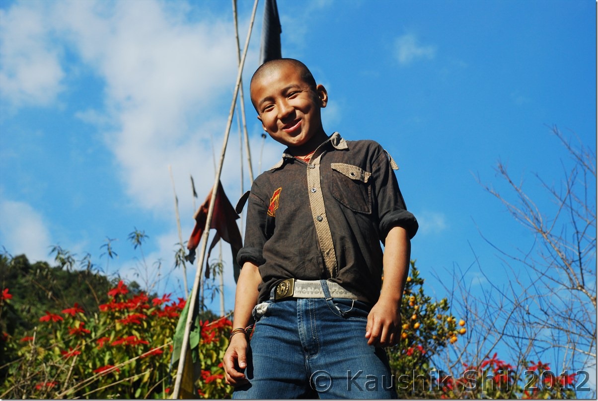
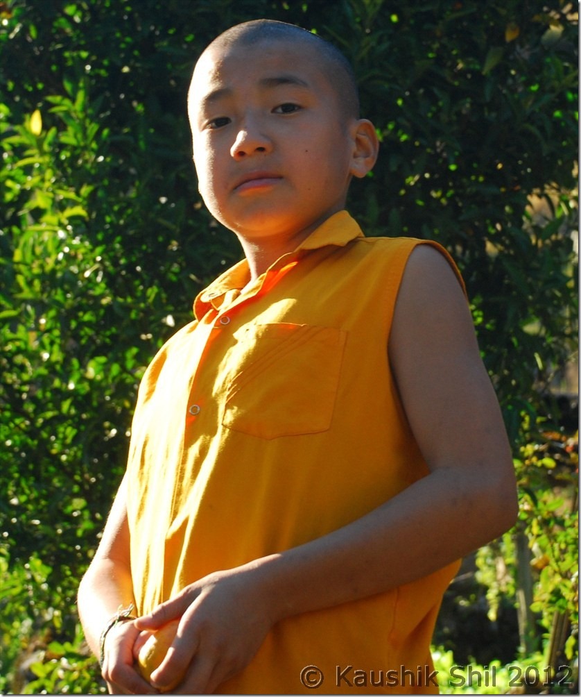
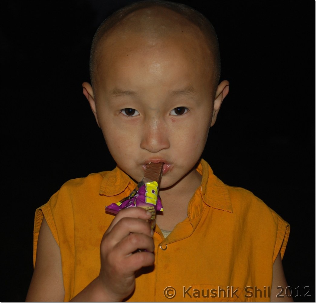
Young Lama:

DSC_0863

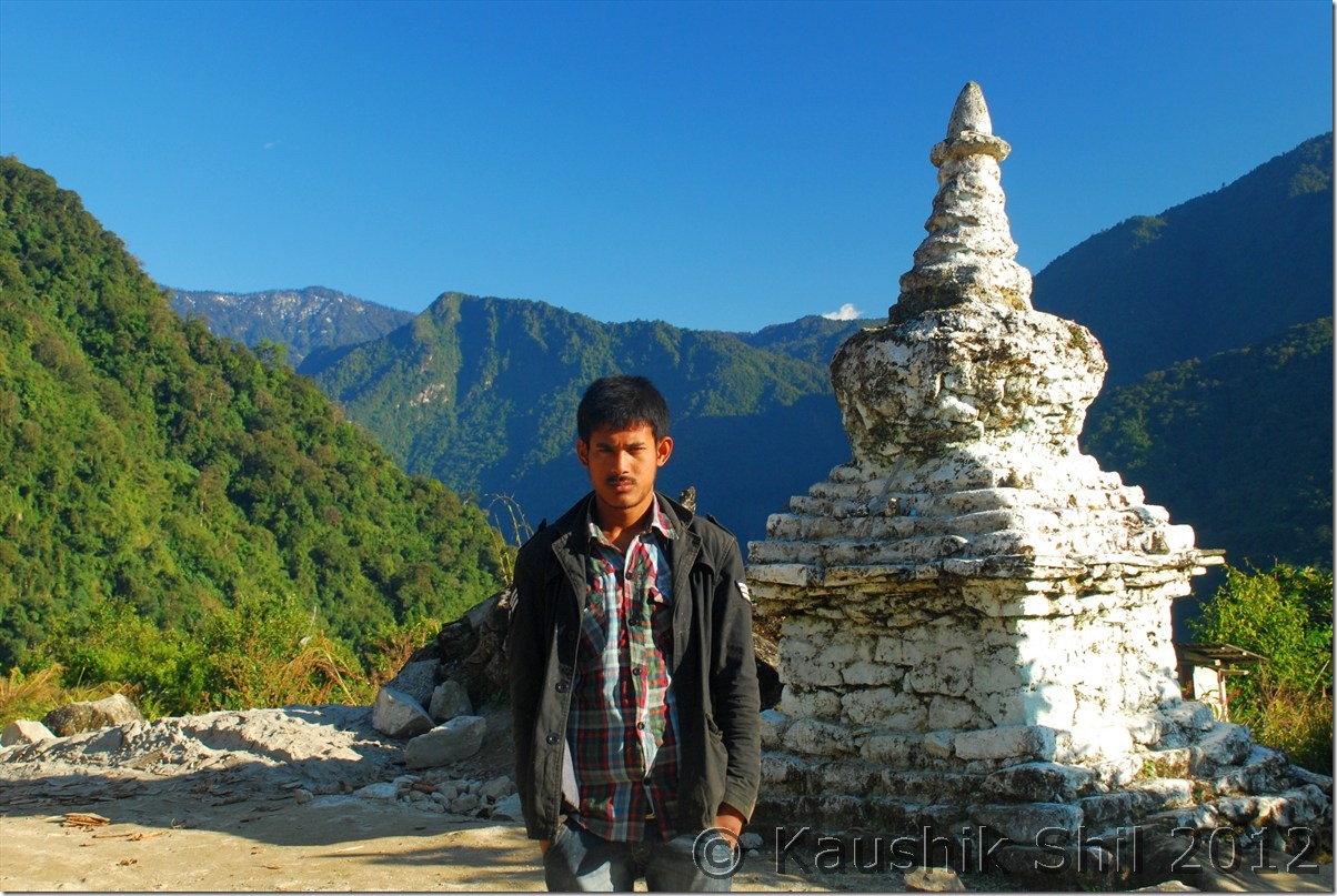
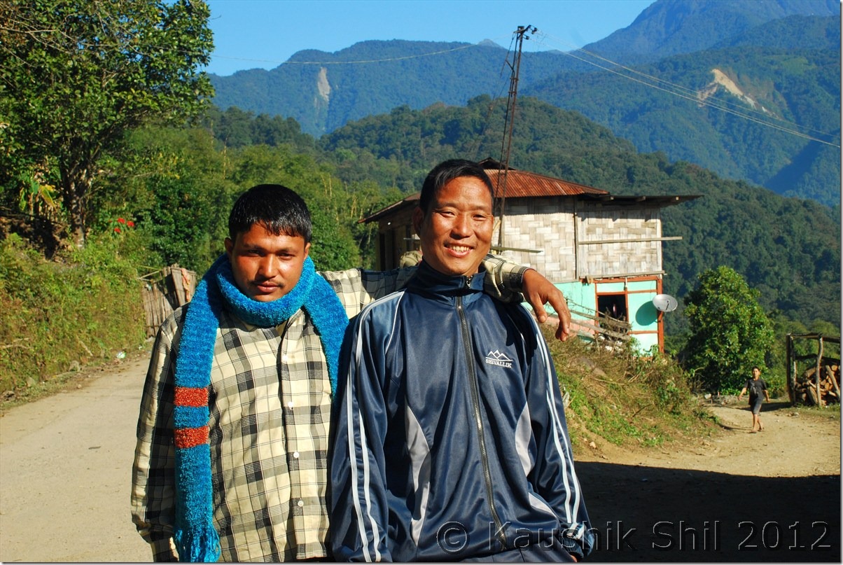
Local posing at the end of motorable road just ahead of McMahan line:

DSC_0865

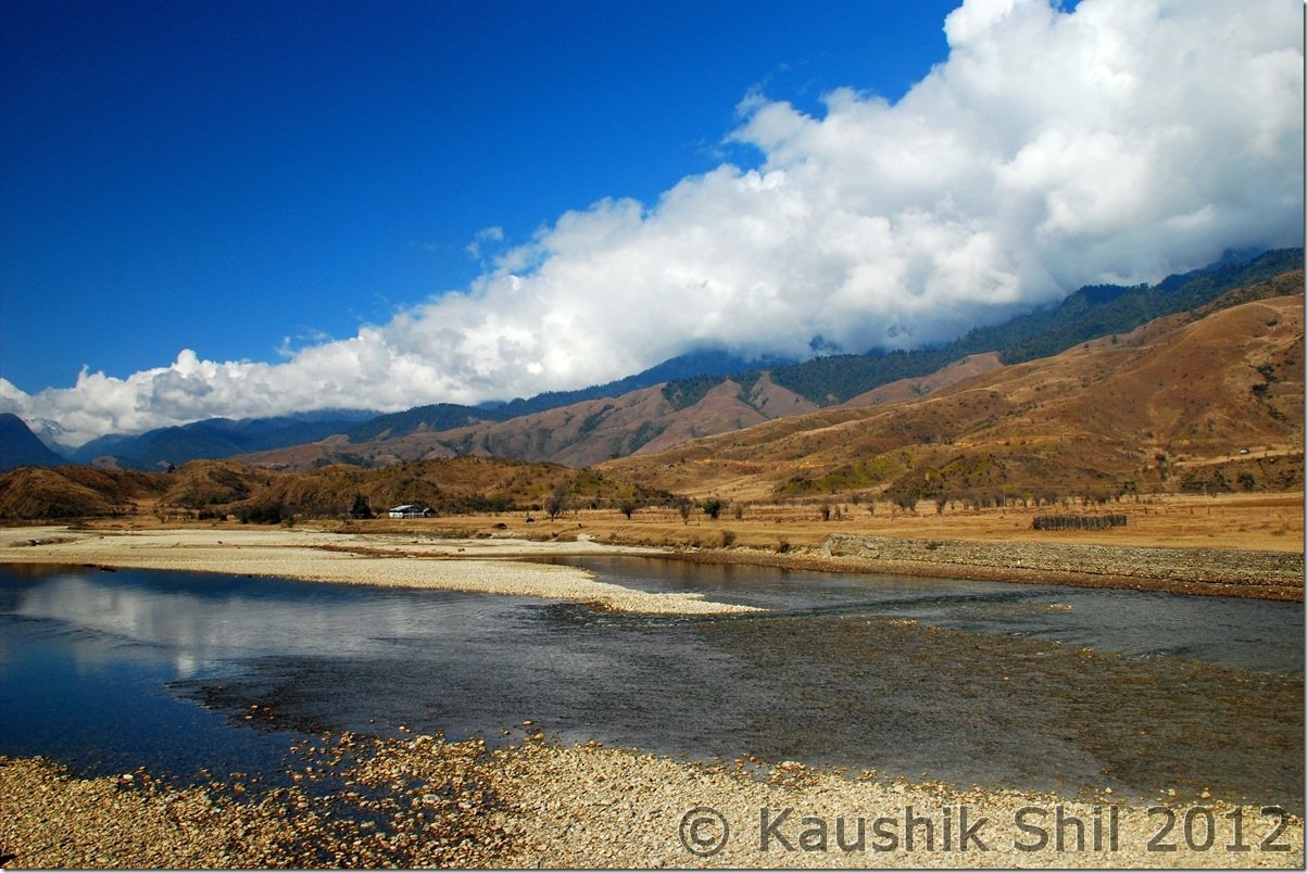
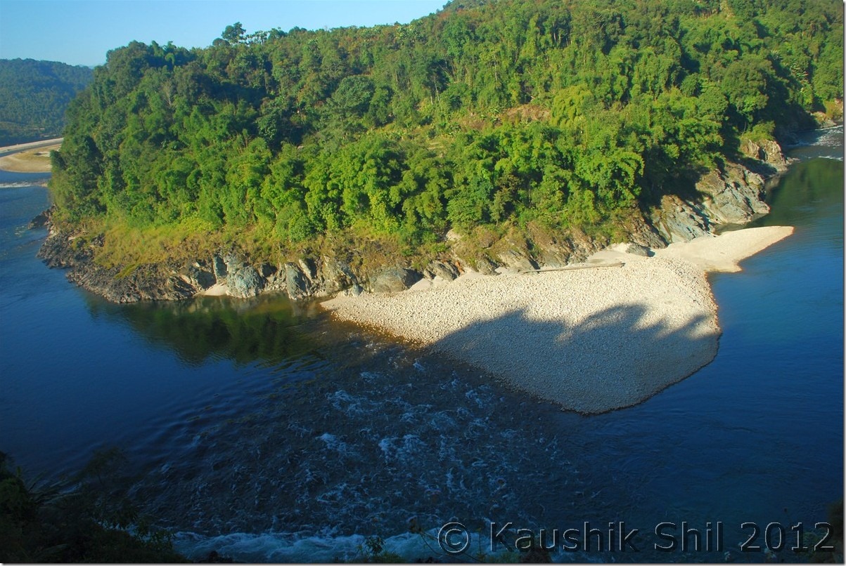
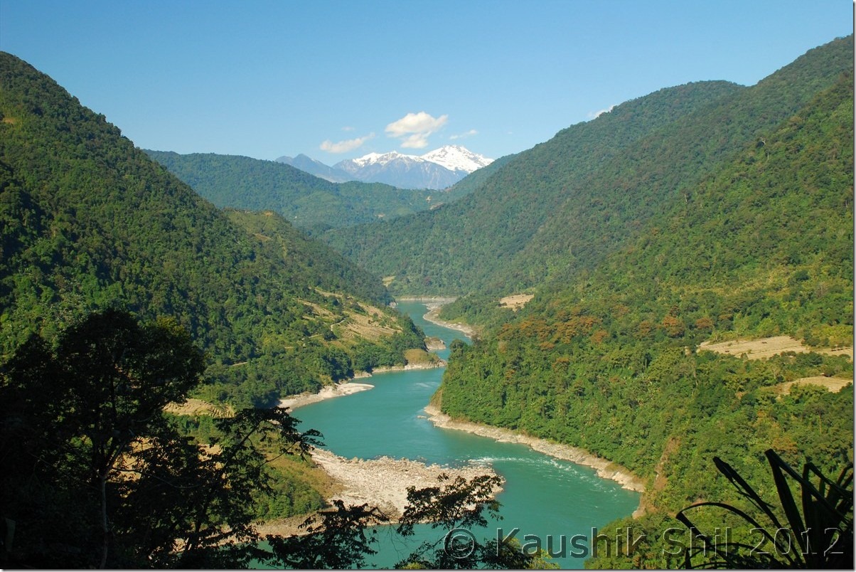
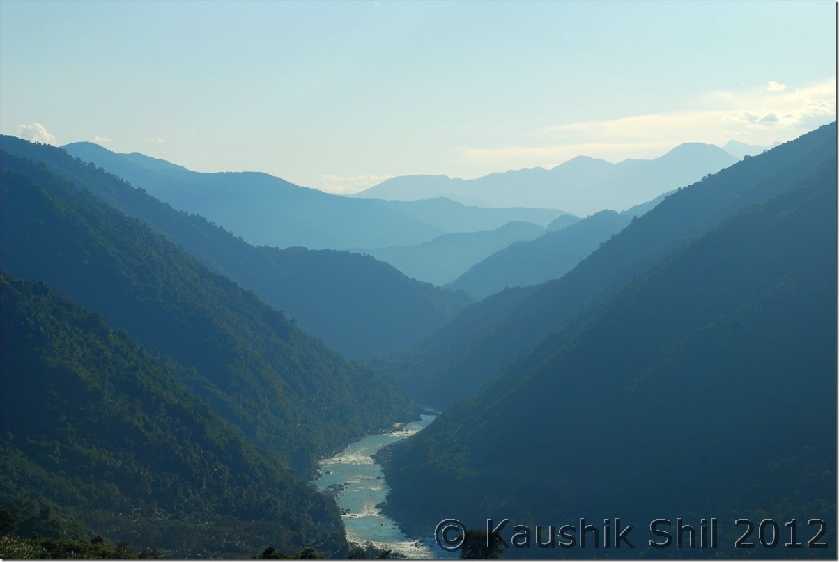
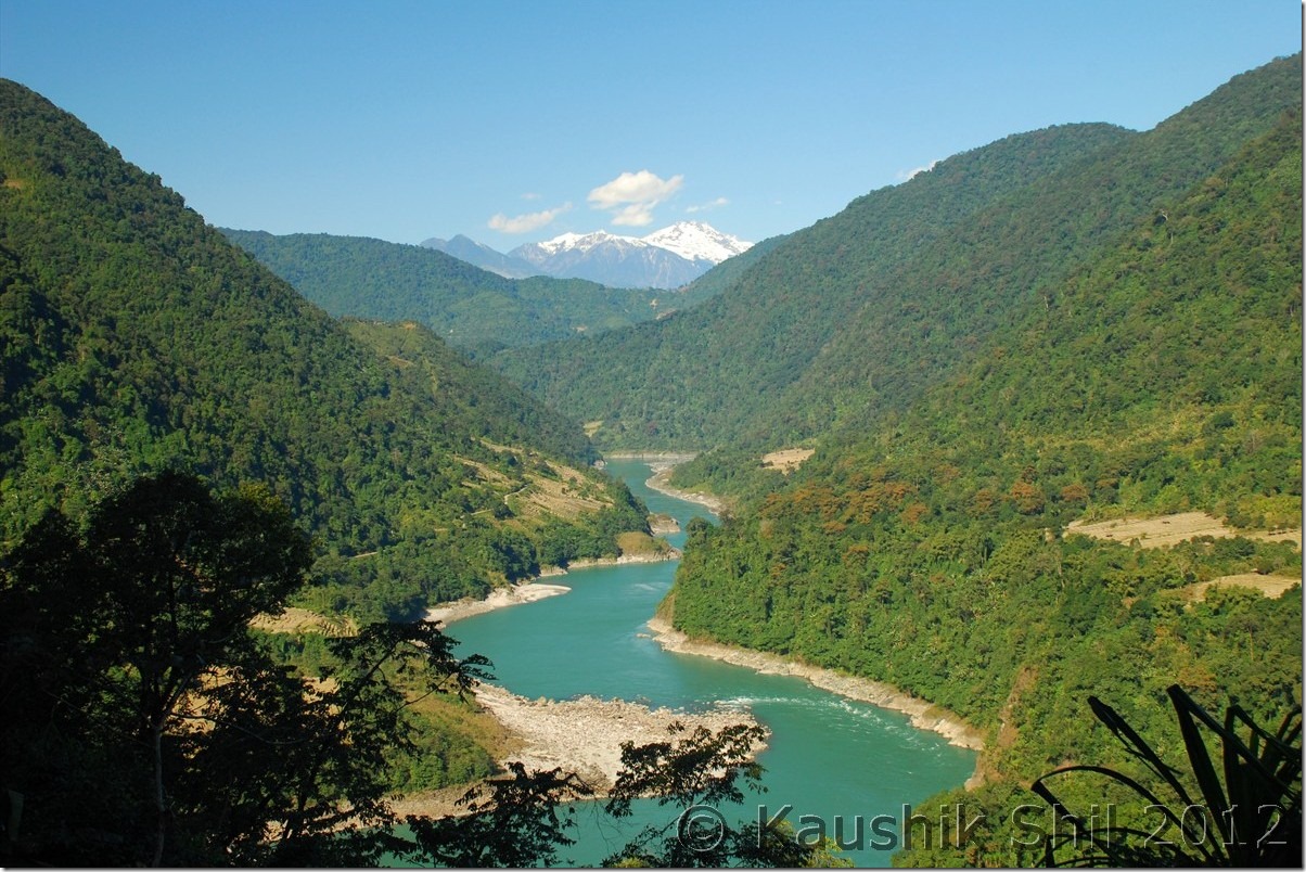
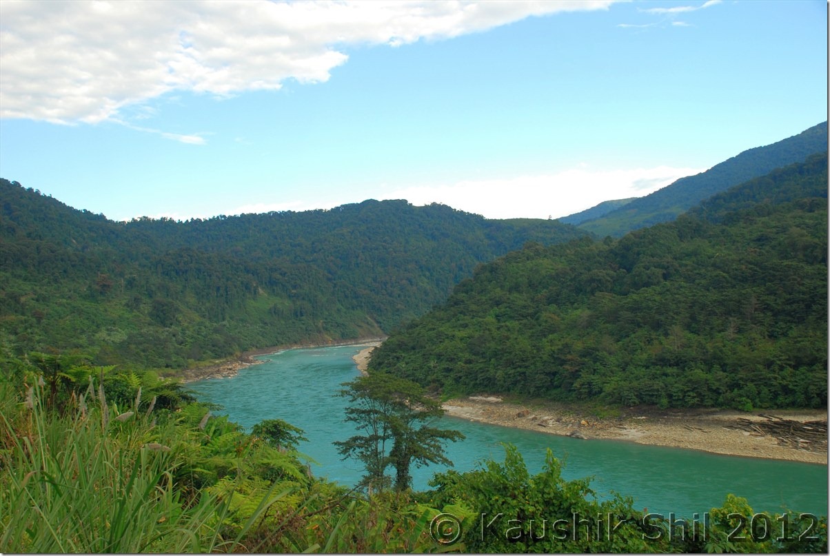
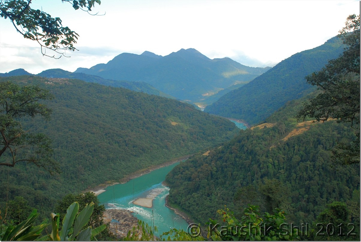
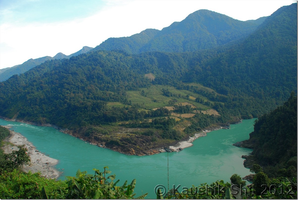
Siang Entering into Arunachal (India), in Tibet its named as Tsangpo:

DSC_0868

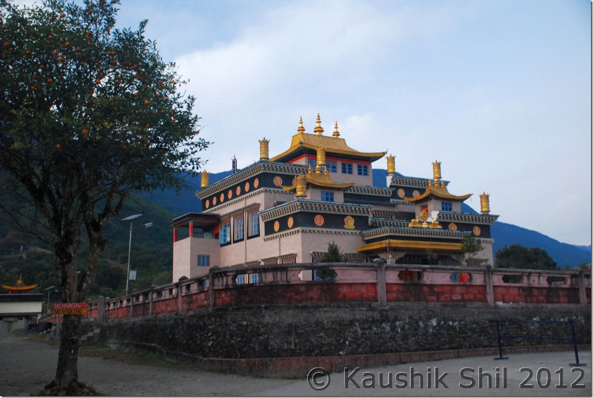
Tuting Monastery:

DSC_0885 DSC_0887

Cute Young Lama:

DSC_0888

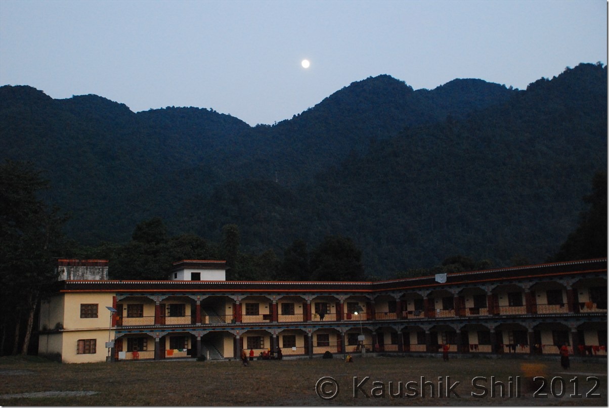
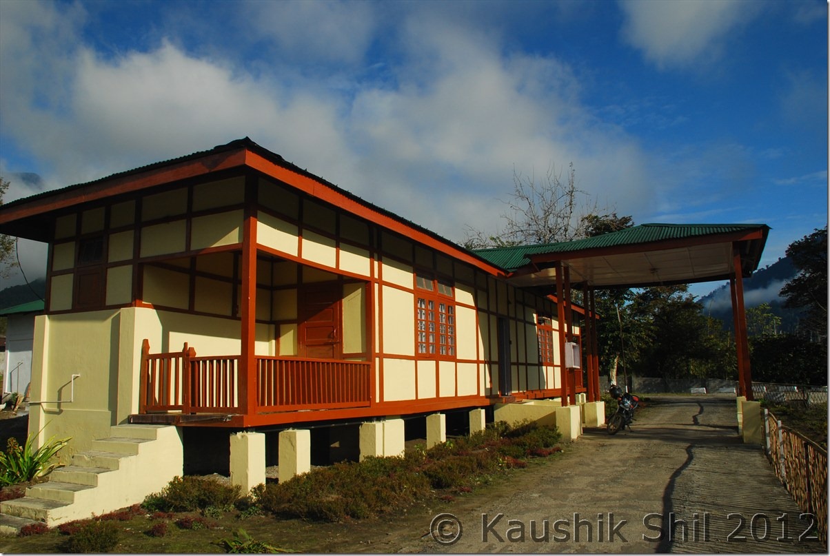
Tuting Monastery Hostel:

DSC_0890

Previous: Amazing Arunachal – Journey to Tuting and Gelling

Next: Amazing Arunachal – Back to Tinsukia via Along, the Journey Ends

Amazing Arunachal – Journey to Tuting and Gelling

Day 17:

We started by 6.30 with our packed breakfast of roti and sabji and first look at Siang made us spellbound. As I mentioned Jengging is higher up and it looked like as if there was a layer of fog and mist someone carefully put just through out the Siang river basin. It was absolutely crystal clear with all snow peaks visible around but there was no trace of Siang river. It was completely covered in fog and mist. After a drive of 15km, the road suddenly turned into a no road condition. It looked like a sliding zone with proudly named as ‘Pagal Nala’ (not sure how many Pagal Nalas exist in India). The road condition in driest time of the year with no rain in last week suggested it was almost impassable during the heavy rains of Arunachal in monsoon. We crossed the section carefully and reached a big town called Moying. We had our breakfast in Moying, met a nice person from Ludhiana who spent almost his whole life there and married a local tribal woman and settled there. He told us this is the place where if we go down another 2km by side road we would get ferry to cross over Siang on boat with our car to Yingkiong. So that means Yingkiong is located just opposite to Moying but due to heavy fog and mist it was not at all visible. We also came to know that famous Gandhi bridge to cross over Siang by foot had to be approached from Moying only. We kept all these during our return leg as we had a long way to go before we could reach Tuting, another remote place where there was no available accommodation except the Inspection Bungalow. I booked this IB as well by speaking to ADC and CO of Tuting but somehow I thought of calling the number of the caretaker (Mr. Kombo) last afternoon from Jengging and that really made the difference. Anyway we kept going by the side of Siang and further 100km of drive from Moying took us to Migging which was again a small stopover with few tea stalls. We took a tea break and then started the worst part of the journey in terms of road. Road slowly got vanished after Migging as the scenery started getting better and better and further 65km of tiring drive took us finally to Tuting Inspection Bungalow. Now again a surprise, a local girl married to someone from Nagaland committed suicide and lot of her relatives came from villages around to Tuting and it was a mess. The IB was almost fully taken by them and CO / ADC was available there in Christmas Vacation. My yesterday’s call to Kombo finally did the trick, he managed us one room but again we had no room for Ashim to stay, though Mr. Kombo shared his own room for Ashim, Ashim preferred to sleep in lobby rather than sleeping in sharing room. This was a tough place for visitors with no electricity, no mobile network (Mobile networks work only for couple of hours during sunny days through solar energy), no hotels, no accommodation. We somehow managed to have a dinner made by cook in IB and retired for the day as next day we were about to touch McMahan line again in last village of India, called Gelling.

The driving distances for the day:

404 – Jengging
413 – Karko
428 – Gosang
439 – Moying
494 – Jumbo
519 – Mosing
540 – Migging
561 – Palsi
576 – Nigging
594 – Tuting IB

Clear Morning at Jengging:

DSC_0735

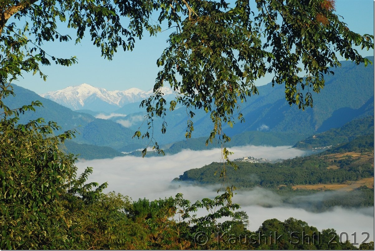
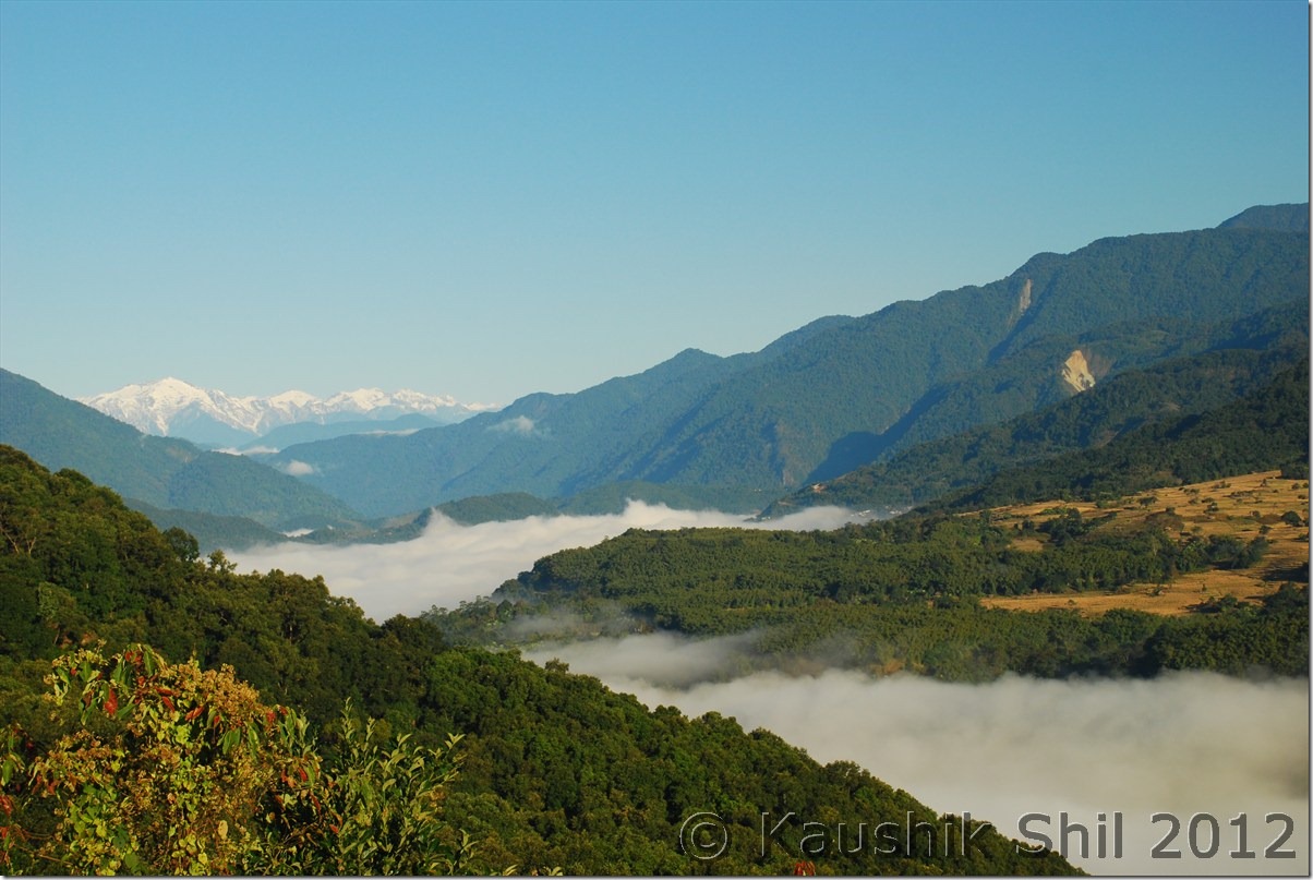
Fog and Mist over Siang Over – an awesome sight:

DSC_0736 DSC_0740

Yingkiong on other side of Siang rising from Fog Cover: DSC_0744

Scenic Moying: DSC_0746

Friendly Locals:

DSC_0747

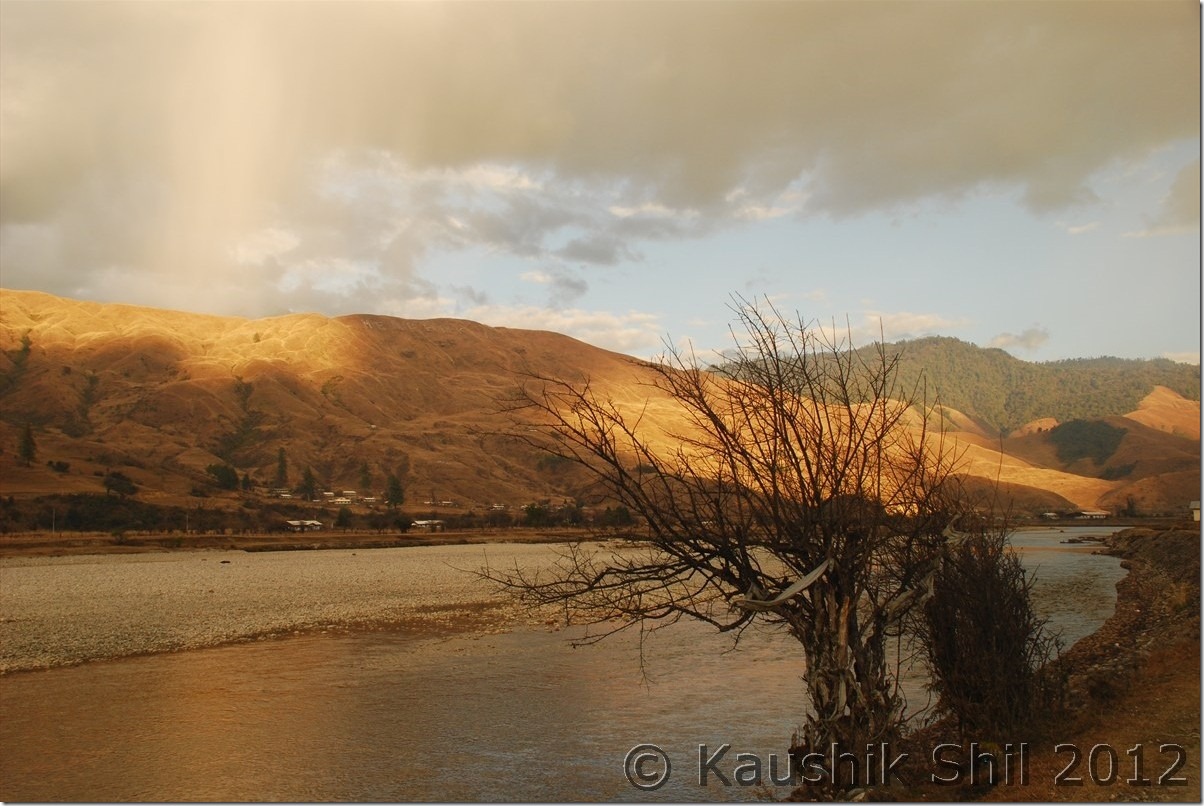
Siang at its best:

DSC_0749 DSC_0758 DSC_0760

Sunset at Tuting: DSC_0767

Day 18:

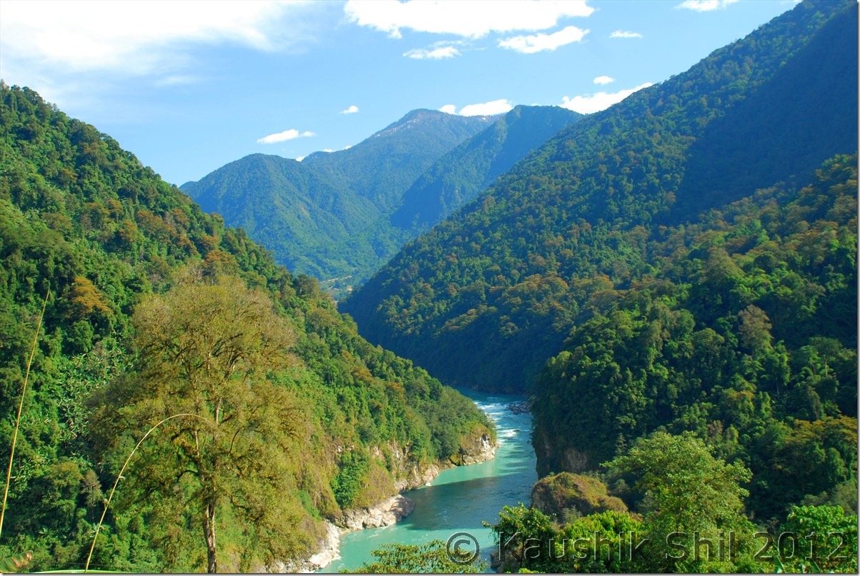
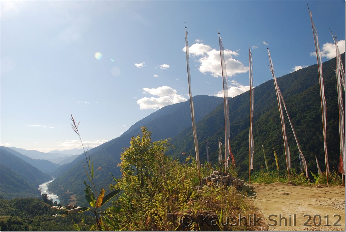
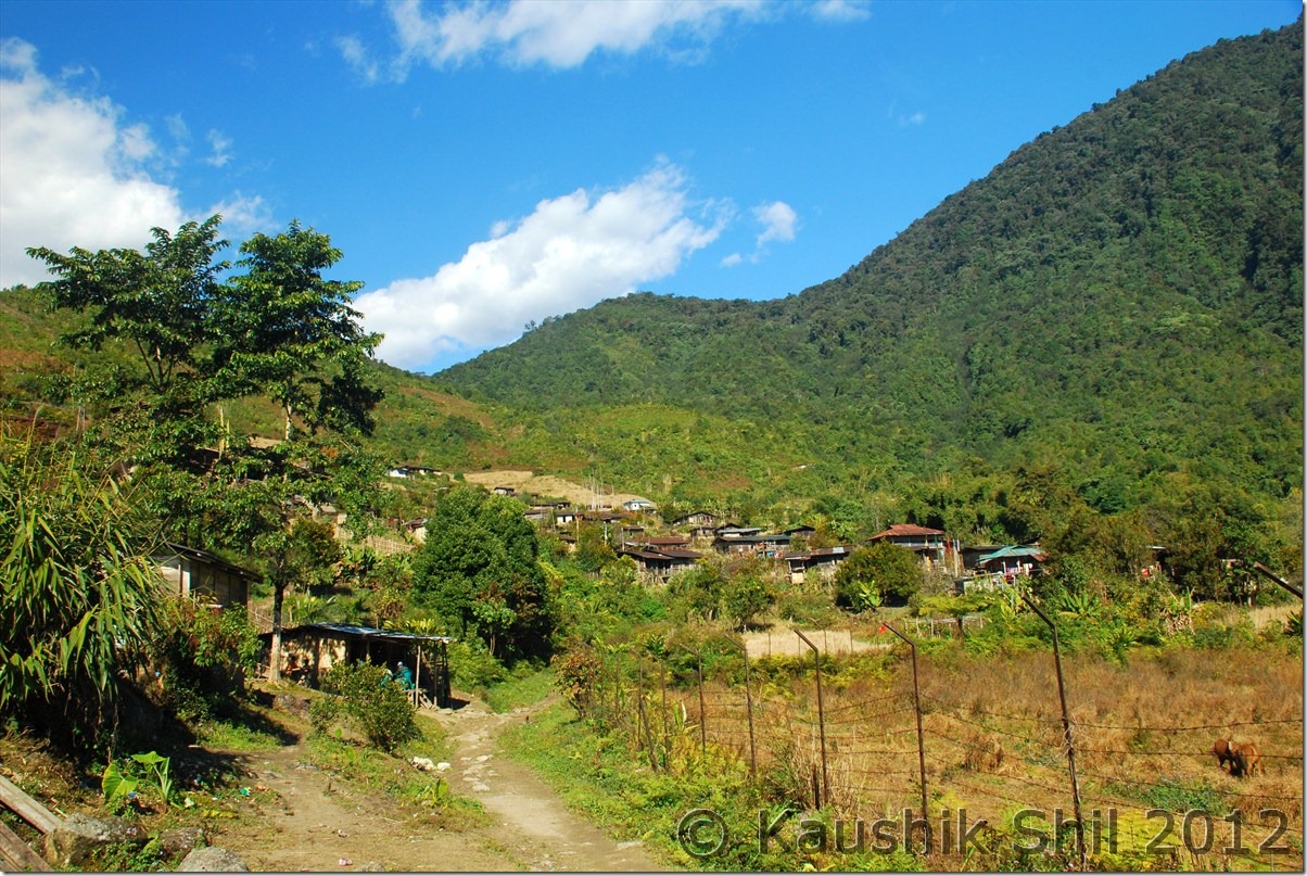
Our objective was to mainly explore Gelling, the last administrative circle and last village of Indian side across Line of Actual Control. We had a good breakfast and start our day around 9.00 in morning. It was a bright and sunny day and that way we were lucky, getting a bright day in this part of India is not that common. Gelling is around 30km from Tuting out of which first 15 km is pathetic and road was so uneven it was not even sufficient for the ground clearance of Bolero. Actually the road construction started from Gelling end and first 15km from that end was good. The scenery and landscape was dramatic with blue Siang flowing with all might and the lush green forests around that in the backdrop of snow covered peaks were making a fabulous frame. We found Indian Army was doing a practice of rock climbing in that area and just beside that we found another precariously hanging footbridge which was looking so scary but we still tried on it and gone almost till half way before it started swaying heavily and we returned from there. Finally after many stops to enjoy the vista, we reached Gelling around 10.30 in morning, what a calm and quiet the village was, it was very difficult to realize that this could be the head quarter of the whole administrative circle. Gelling looked so charming just on a ridge and the top of the same ridge was the border between India and Tibet which would be at max 3km and an uphill walk on the ridge would take an hour for locals, so it would be 2 hours for us for sure. In the mid way just a km inside border, we could spot our last ITBP Camp. There was a very nice Monastery on the top of Gelling and we walked up there, the lama was an old person and he narrated the old stories of the region. Before the English people divided it with McMahan line there were ten villages in the area. Once McMahan line was drawn, villages named Sirang, Mirging, Didung, Pongmo and Podum fell in Tibet side where as rest 5 villages, named as Kapu, Mayung, Mona, Bishing and Gelling were came to Indian side, still they could freely visit all the villages until China attacked India in 1962 and the border was completely sealed since then. They still have their older relatives in other side of the line which is again as close as 2/3km from the border but unfortunately they don’t have any communication now. In whole Tibet border across Arunachal starting from Zemithang to Kibithu, this is the place where probably you would find village closest to McMahan line in the both sides of border. The people in the village belong to Memba tribes who are Buddhist and they were very warm and welcoming. We were offered local foods and oranges along with tea in almost every house we came across in the village. Again like Mechuka and Zemithang, this is a place which is simply out of the world and probably my second closest visit to Tibet after 2011 trip to Demchok, Ladakh. Gelling was the last village in right bank of Siang, similarly Bishing was the last village in left bank which is connected from Gelling through a suspension foot bridge on Siang and locals take 3 hours to trek one side. Bishing is famous for its cascade waterfall which was even visible so far away from Gelling. From Bishing we heard this falls look awesome but unfortunately we didn’t have enough time to explore that. Also one could have a look at Kapangla Pass from there, the ancient trade route between India and Tibet which was operational till 1962. It was so nice, next time I would surely keep one or two full days in Gelling to explore these places more thoroughly. Gelling also has an Inspection Bungalow where one can stay but staying so close to border is always little tricky as you would find most of the times the GH was occupied by some or other army / ITBP officers. We started our return journey towards Tuting and visited Tuting new Monastery which was administered from Tibetan center of Bylakupe in Karnataka and also the Tuting Town. If you love trekking, Tuting is a place you would love to stay for long. There are few treks which originated from Tuting, one goes towards Tsitapuri via Singha, I had seen some photographs of this region and it could give valley of flowers a run for its money, so wonderful the glacial lakes and flowers you would see in right season. Also this region is named as Pemako region, one of the most sacred places for Adi, Memba, Mishmi tribes who are Buddhist by religion. They believe these places are still full of treasures / scripts by Lord Rinpoche and Guru Padma Sambhaba. Upper Siang district website might give you a better snapshot of what all treks are available in this region and in which season. We came back to IB and today we had more chaotic ambience with more locals in the IB, we somehow managed to stay the night and cook was really kind enough to arrange for our dinners and served it in right time in the middle of such a huge chaos.

For more details of treks start from Tuting visit:

Upper Siang » Places of Interest

Nicely located Tuting IB:

DSC_0770 DSC_0780

Picturesque Tuting:

DSC_0776

Siang Again:

DSC_0785

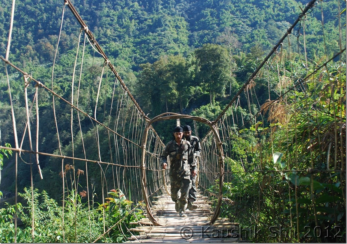
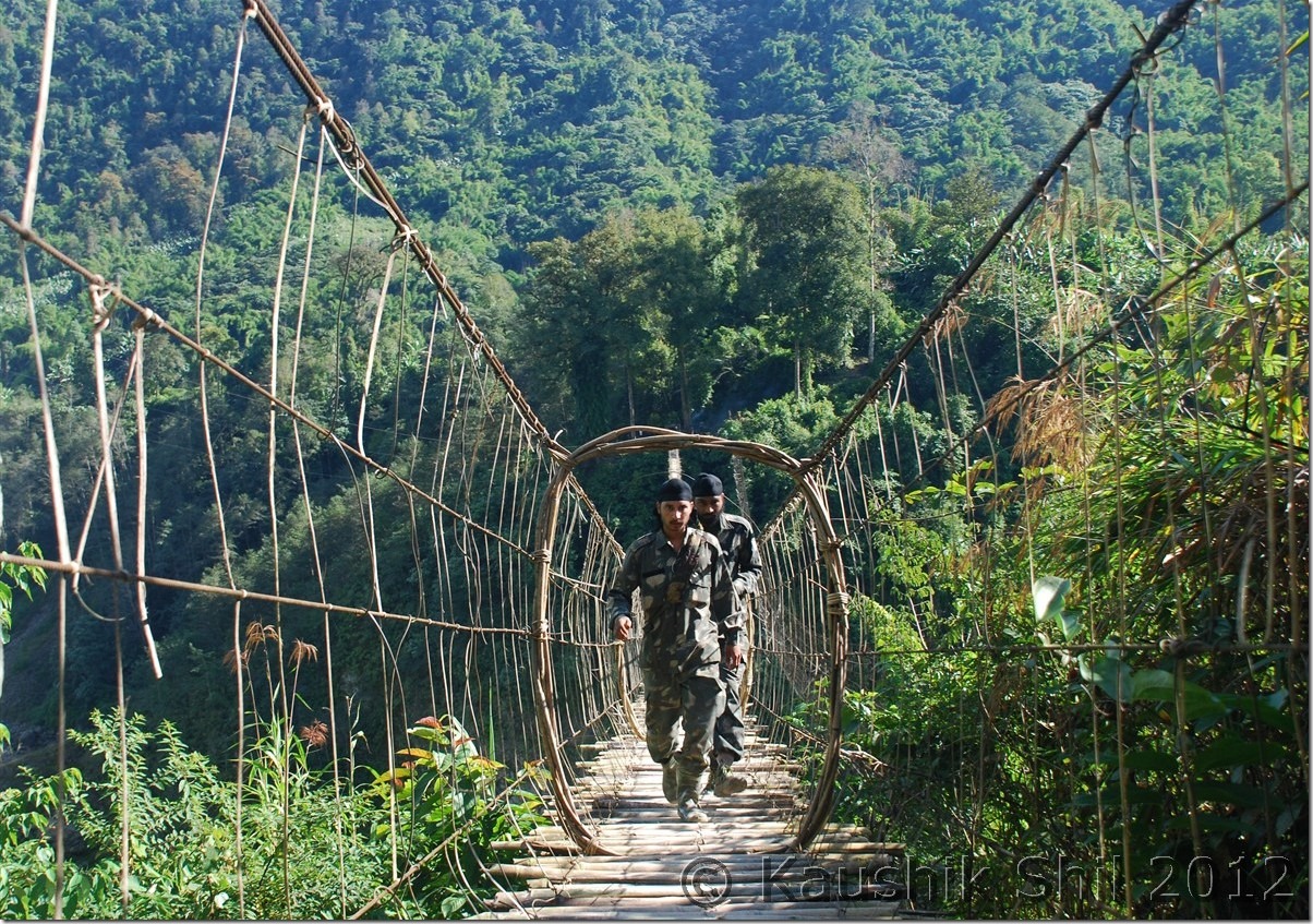
Indian Army crossing a suspension foot bridge on Siang:

DSC_0793

Closing to the Border:

DSC_0795

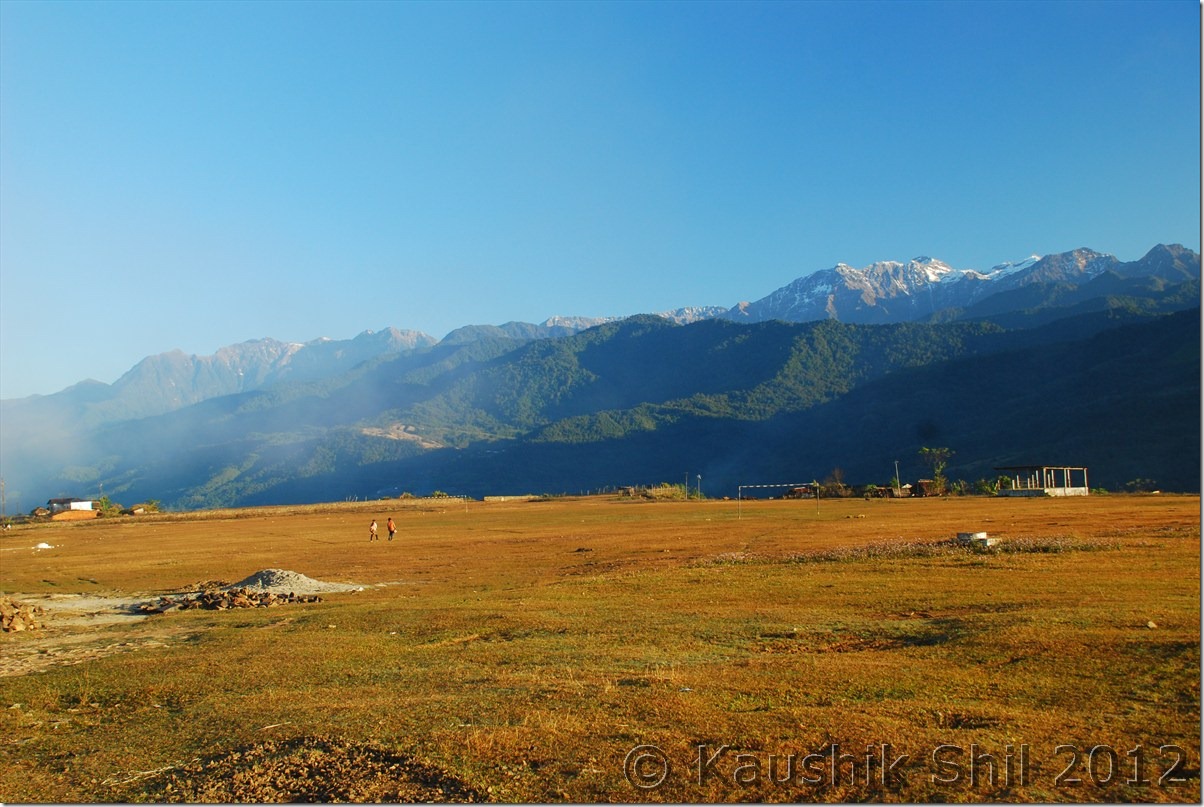
Gelling where the road ends:

DSC_0798

Gelling Village, Top of the ridge is McMahan line, other side is Tibet:

DSC_0800

Previous: Amazing Arunachal – Back to Along and Journey to Jengging

Next: Amazing Arunachal – Gelling Continued

Amazing Arunachal – Tawang, Ziro, Along, Mechuka, Tuting : Introduction

When I last visited Arunachal, 2 years back I fell in love with the state, the awesome landscape starting from rainforests of eastern part to alpine meadows of western part meeting mighty Himalayas, the high mountains all around, deep gorges carving its way with blue waters gushing in, you can clearly see and feel the rapids from top. Waterfalls in almost every bend, in one turn its vast blue sky and in next turn in completely filled up with fog and mist. Arunachal will surprise you in every moment, the other aspect is the diversified culture, it’s completely a tribal state and there are 101 recognized tribes in Arunachal and mostly believe in different religions like Donyi Polo (Sun and Moon), Hinduism, Christianity etc. The state has borders with 3 foreign countries, Bhutan in west, Tibet (Now People Republic of China) in North and Myanmar in East. Tourism is not developed except the western part of Tawang sector, which was developed by late Mr. Dorje Khandu, the former chief minister of Arunachal who belonged to Tawang. The state buses sparsely run through the main towns but still Shared Sumo service is the most common mode of transport for locals, in almost all districts you would still find 30% villages not having any road connectivity and still depend on long trek to meet their daily needs. Actually northern part of Arunachal was more closely connected with Tibet through 4/5 different passes until British drew McMahan line in 1913 as per Shimla Accord with Tibet. The usual business with Tibet had been going on until China disregarded the McMahan line and attacked India in 1962 in both Ladakh and Arunachal sector. Since then all the passes were closed and the whole border with China/Tibet was closed and people were forced to walk 3/4 days through treacherous mountains and dense forests to come down to Indian plains to start their new lives. When we visited places like Gelling, merely a km from McMahan line, the elders were telling us the sad stories how they suddenly got partitioned from their near and dear ones living just couple of km across other side of border since 1962. The state is covered by mountains from west to east and deep river gorges from North to South including Kameng, Subansiri, Siyom, Siang, Dibang and Lohit that created mighty Brahmaputra river system. So traveling the state is extremely difficult from west to east as there is a lack of trans-Arunachal highway which is presently being built with the aid from Central Govt. Every time you have to come down 300 km to Assam and then again have to go up another 300km to reach another spot. So you need at least 45 days just for a touch and go trip to visit the prominent areas of state. So better if you could make multiple visits. Last time we covered Eastern Parts covering Lower and Upper Dibang Valley, Lohit, Anjaw and Changlang districts, this time we covered western and part of central covering, West Kameng, Tawang, Lower Subansiri, Upper Subansiri, West Siang, East Siang and Upper Siang.

The 5 major ancient trade points between Tibet and Arunachal was through Kenzamane (Zemithang), Bumla (Tawang), Kapangla Pass (Gelling), Lolla Pass (Mechuka), Dumla Pass (Monigong) and Kibithu. Except Bumla (where civilians are allowed with passes from DC and Army) all the other borders are closed for civilians. Our main intention was to travel as close as possible to these points to trace the historical McMahan line. We covered Kibithu in last trip, so tried to touch upon the rest of the points.

Our itinerary was like this:

Day1 – Kolkata – Guwahati Flight and drive to Nameri
Day2 – Nameri – Bhalukpong – Bomdila
Day3 – Bomdila – Dirang – Tawang
Day4 – Tawang – Zemithang – Tawang
Day5 – Tawang PTso – Sengetsar Lake – Bumla – Tawang
Day6 – Tawang – Sela Pass – Dirang
Day7 – Dirang – Bhalukpong – Nameri
Day8 – Exploring Nameri National Park
Day9 – Nameri – Balipara – Kimin – Ziro
Day10- Around Ziro
Day11- Ziro – Daporijo
Day12- Daporijo – Along
Day13- Along – Tato – Mechuka
Day14- Mechuka
Day15- Mechuka – Tato – Along
Day16- Along – Pangin – Jengging
Day17- Jengging – Tuting
Day18- Tuting – Gelling – Tuting
Day19- Tuting – Jengging
Day20- Jengging – Along
Day21- Along – Shilapathar – Bogibil (By Ferry crossing Brahmaputra)- Dibrugarh – Tinsukia
Day22- Tinsukia – Dibrugarh – Flight to Kolkata

Enough of Texts and now a few snaps to share some highlights of the trip:

Nameri Eco Resort:
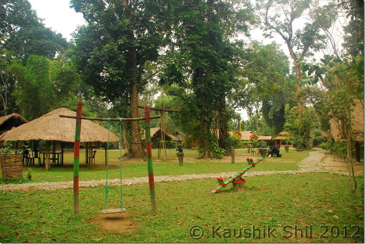
DSC_0001

Bhalukpong in the side of Jiabharali (Kameng River):
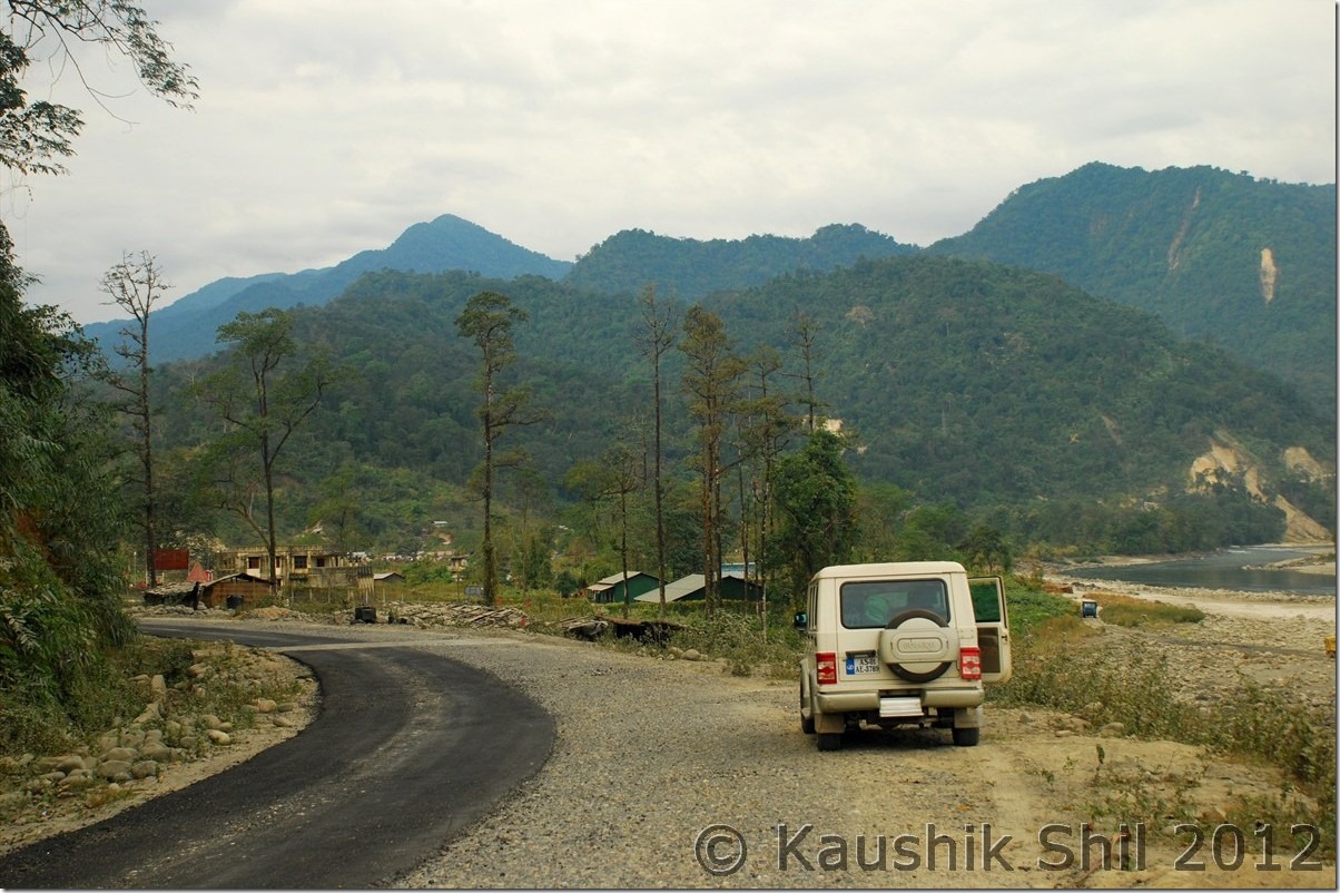
DSC_0012

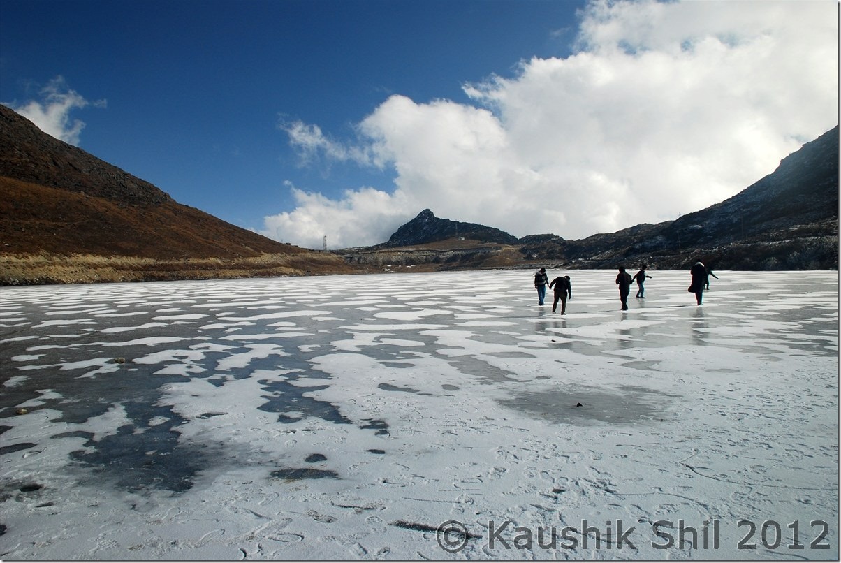
Semi Frozen Sela Lake at Sela Pass:

DSC_0085

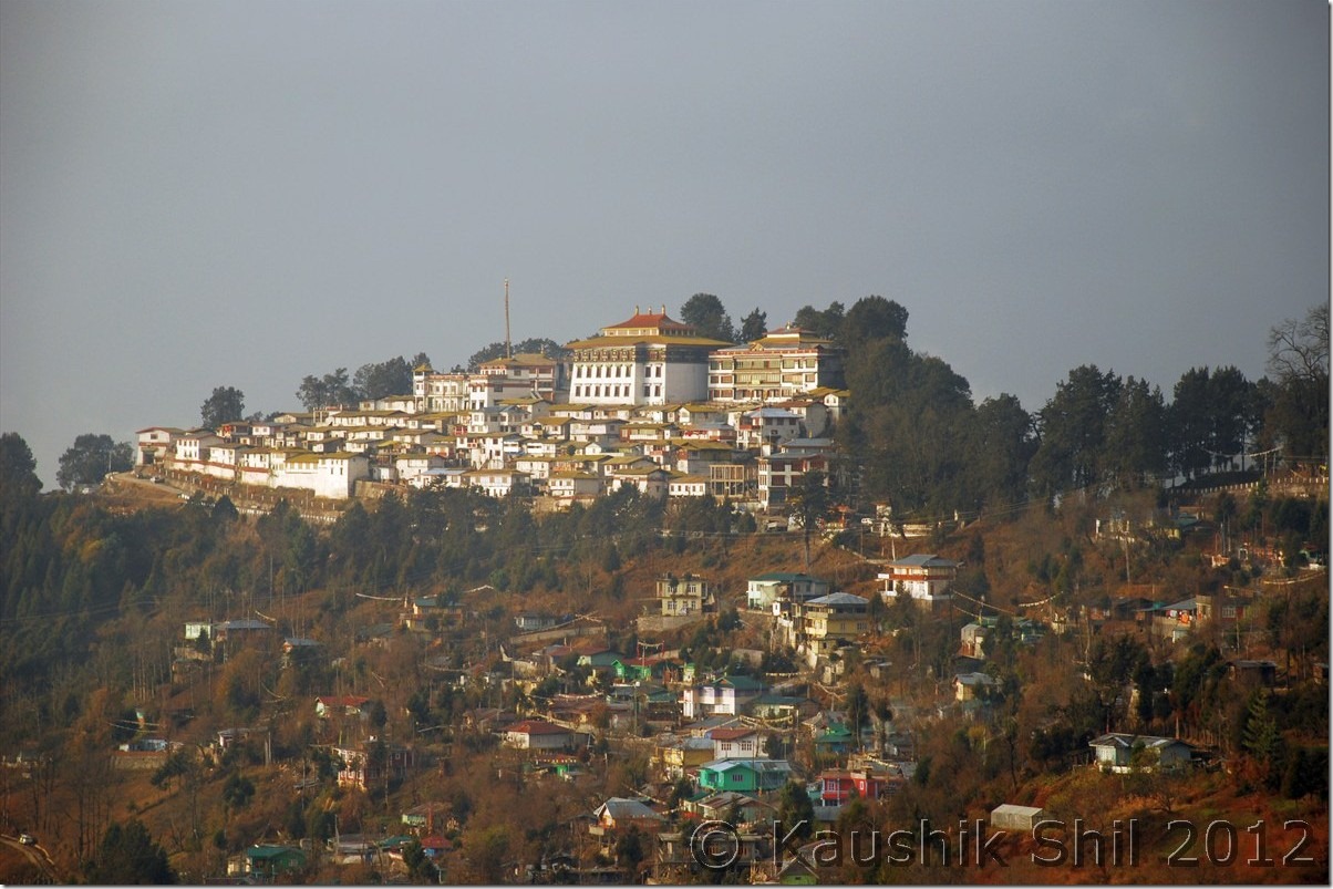
Tawang Monastery:

DSC_0089

Magical Zemithang:

DSC_0135

Snowed Out Tawang:

DSC_0171

Snow in backdrop of Fall Colors:

DSC_0181

Inside Tawang Monastery:

DSC_0227

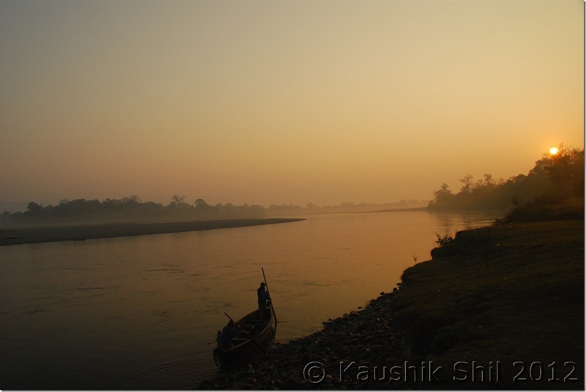
Sunrise in Nameri:

DSC_0265

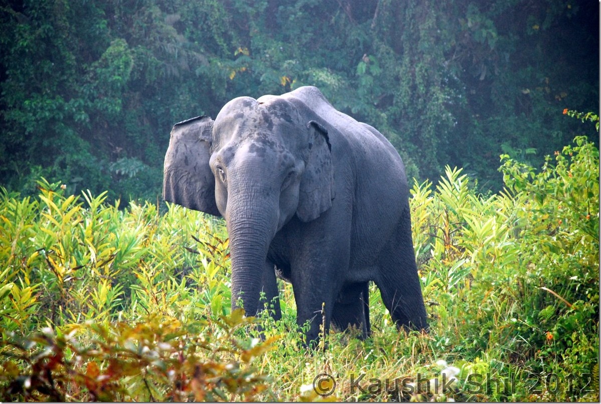
Elephant Nameri National Park:

DSC_0275

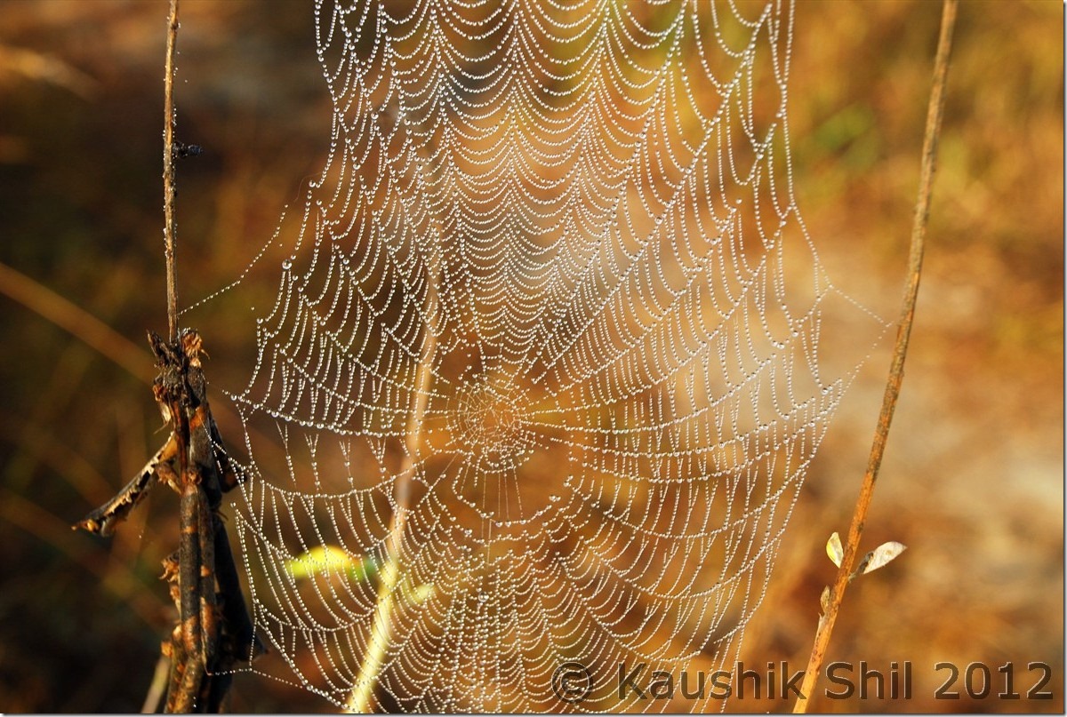
What a Geometry:

DSC_0284

Ziro:

DSC_0350

Apatani Girl:

DSC_0369

Subansiri River:

DSC_0421

Wayside Water Falls towards Mechuka

DSC_0488

Adi Tribes:

DSC_0496

Mechuka in evening

DSC_0512

The Hanging Bridge at Mechuka, Signature of Arunachal:
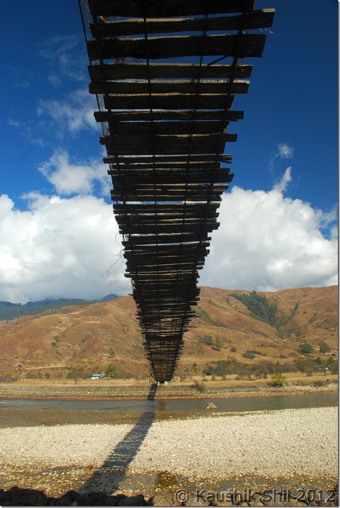
DSC_0556

River Si (Yargap Chu):

DSC_0559

Indian Air Force is landing at Advanced Landing Ground Mechuka:
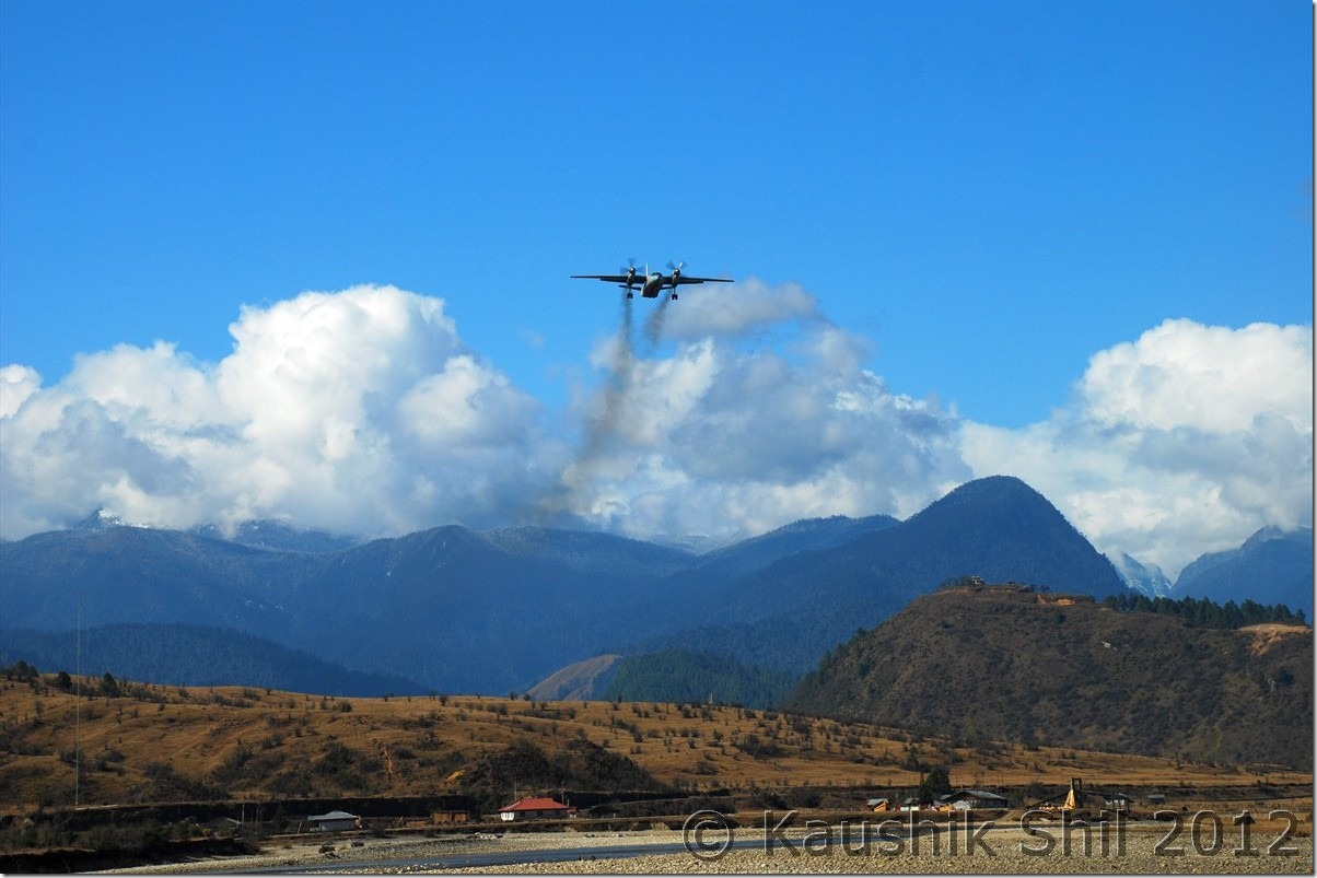
DSC_0583

Mechuka:

DSC_0602

Mechuka at evening:

DSC_0637

Moonlit Mechuka:

DSC_0644

Mystic Mechuka Valley:

DSC_0650

Gorgeous Serenity:

DSC_0657

Lovely colors:

DSC_0664

Siyom River:

DSC_0685

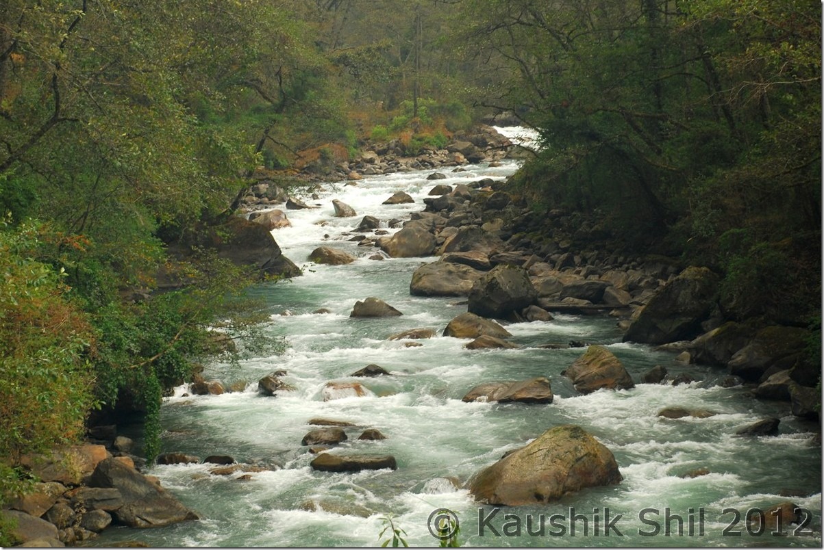
Morning Mist on Siang Gorge:

DSC_0736

Mighty Siang:

DSC_0749

Tuting Inspection Bungalow:

DSC_0780

Indian Army at LAC near Gelling:

DSC_0793

Chopper drops the ration at Gelling:

DSC_0812

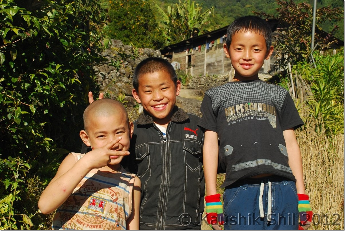
Memba Boys:

DSC_0836

Gelling, the gorgeous Village:

DSC_0839

The green mountain in back is the dividing line between India and Tibet (China) – McMahan Line:
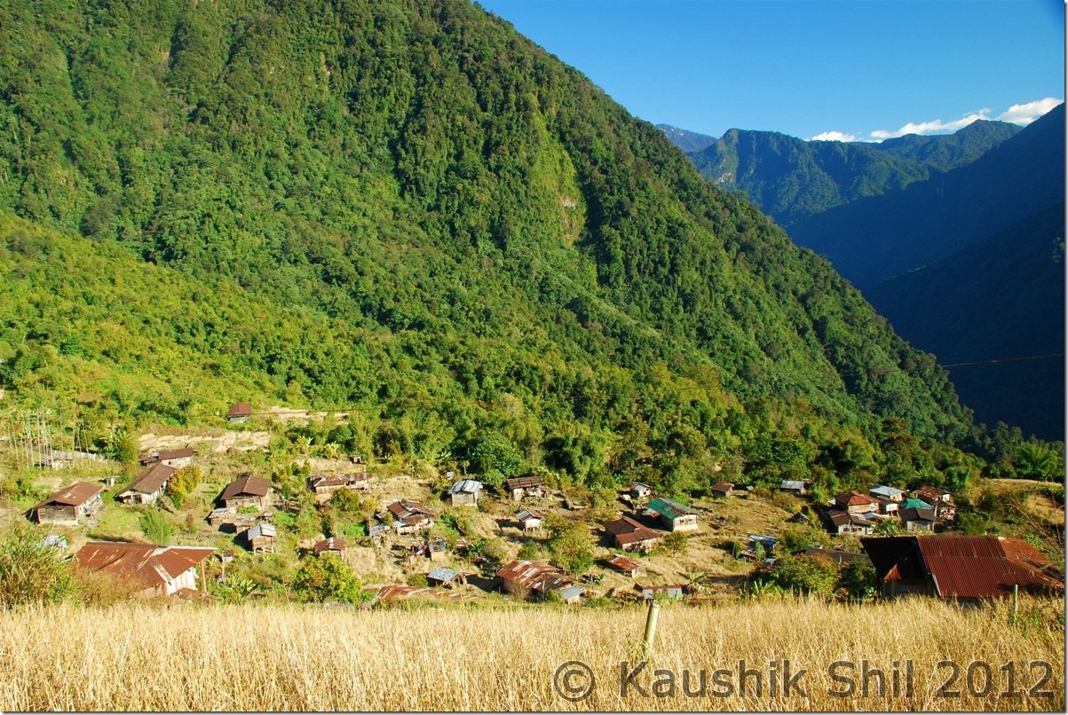
DSC_0854

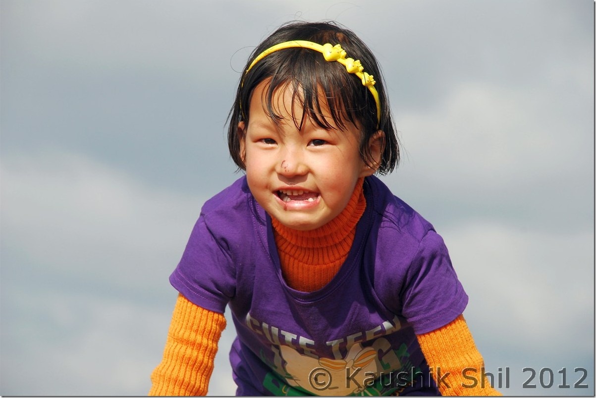
The Cute Lama:

DSC_0863

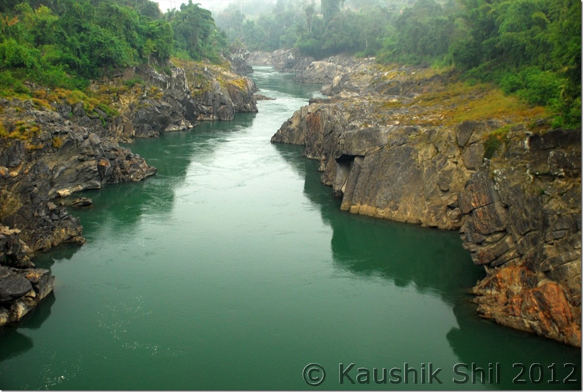
Majestic Upper Siang:

DSC_0901

Galo Girls:

DSC_0948

Next: Amazing Arunachal – Nameri National Park and on the way to Tawang