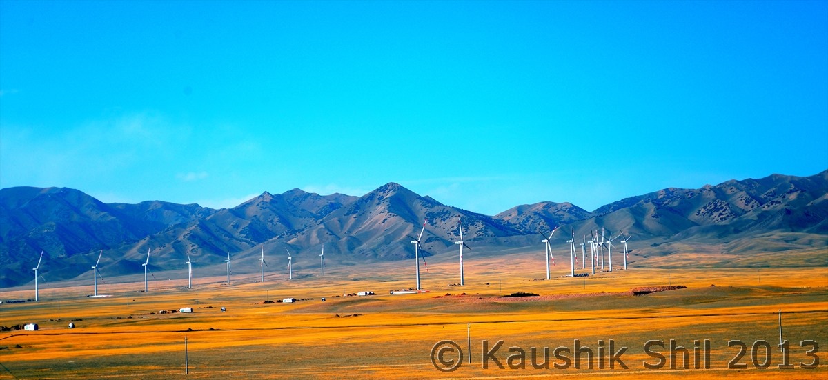
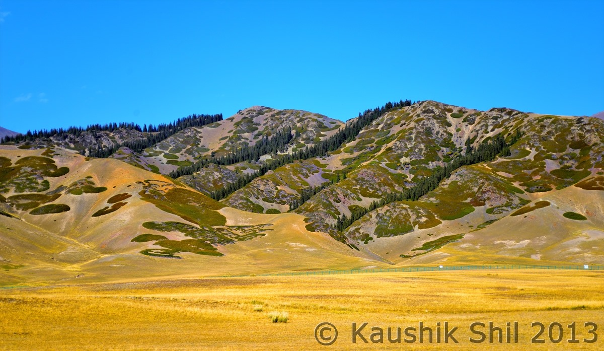
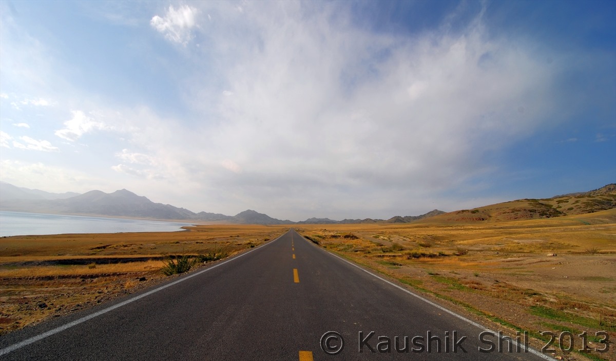
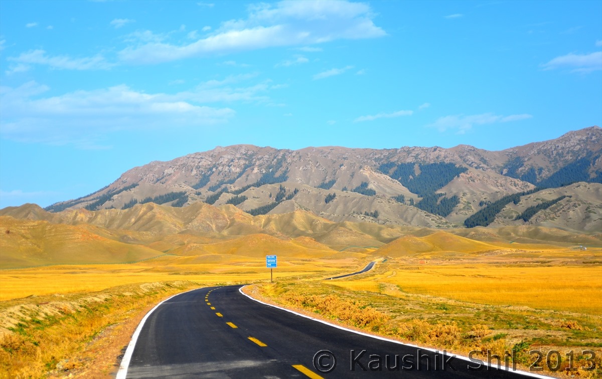
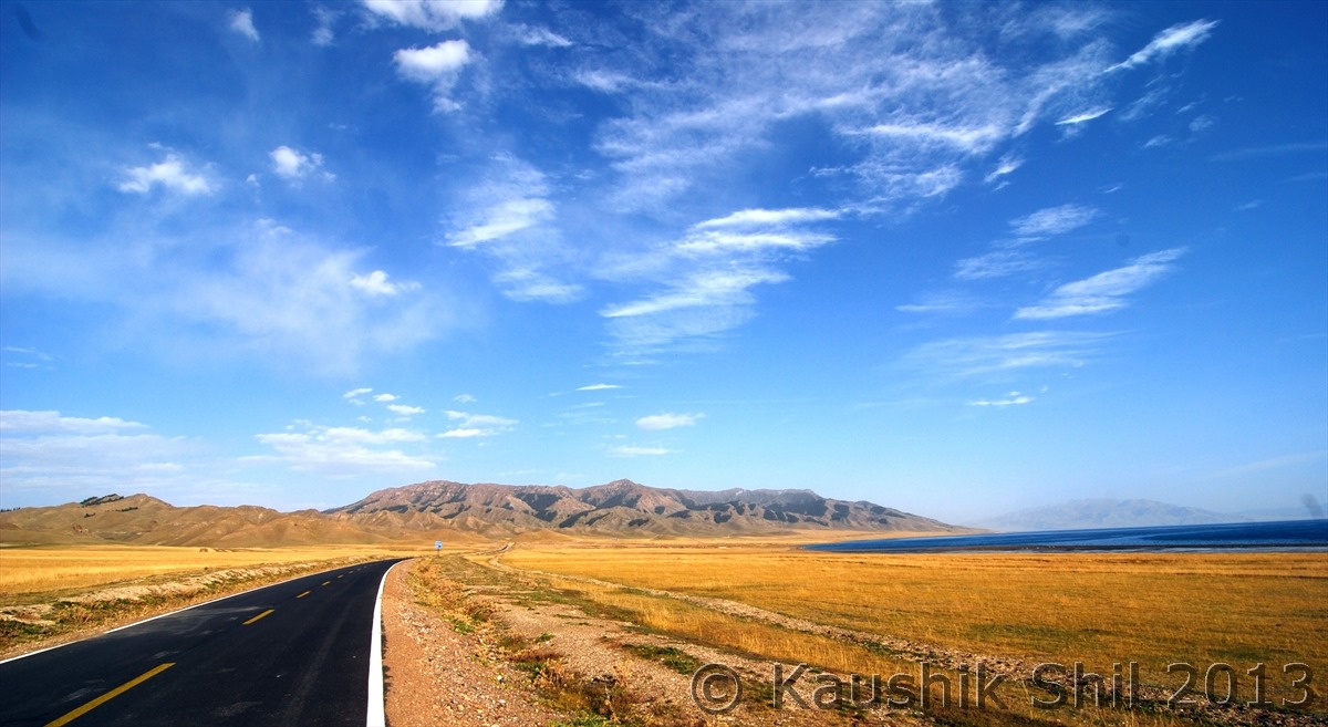
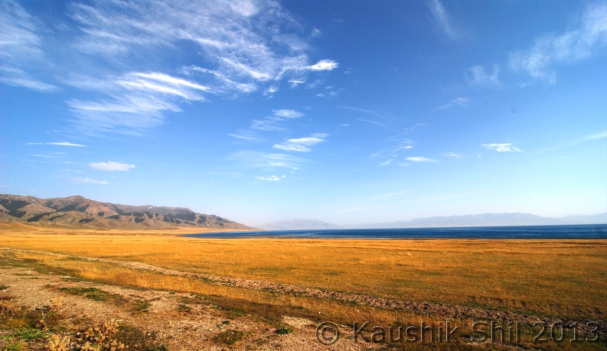
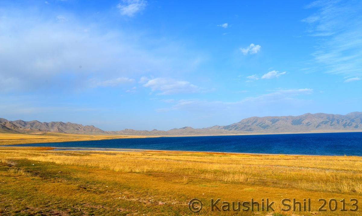
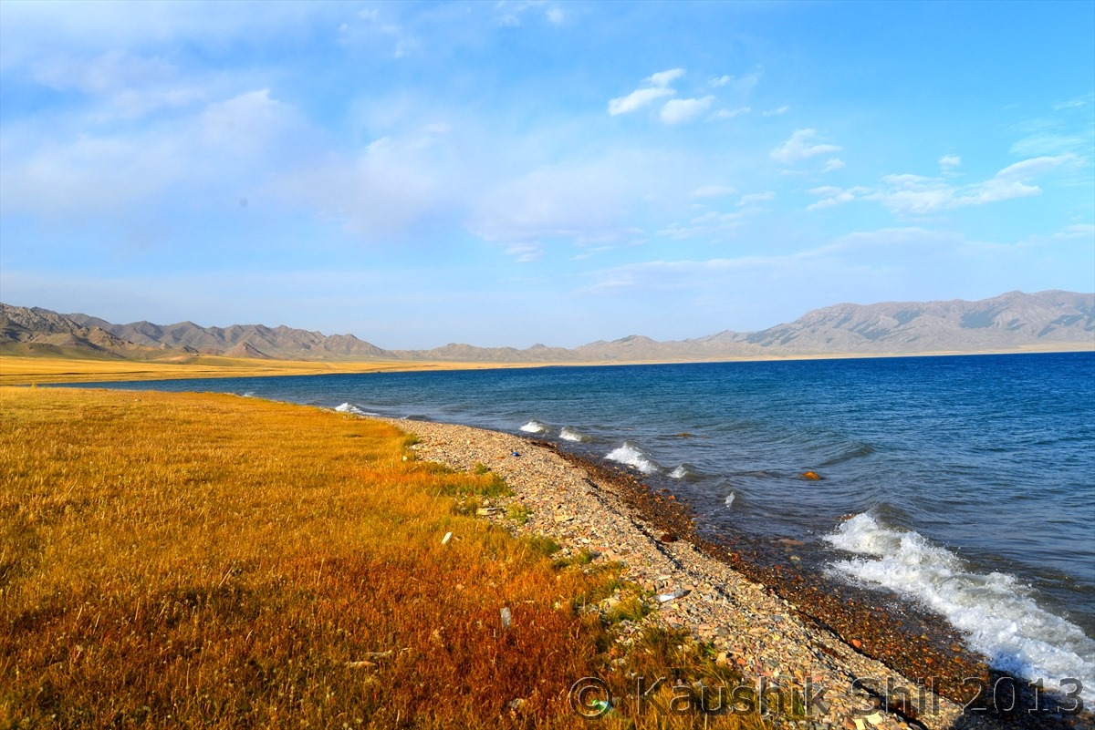
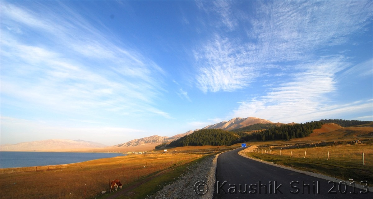
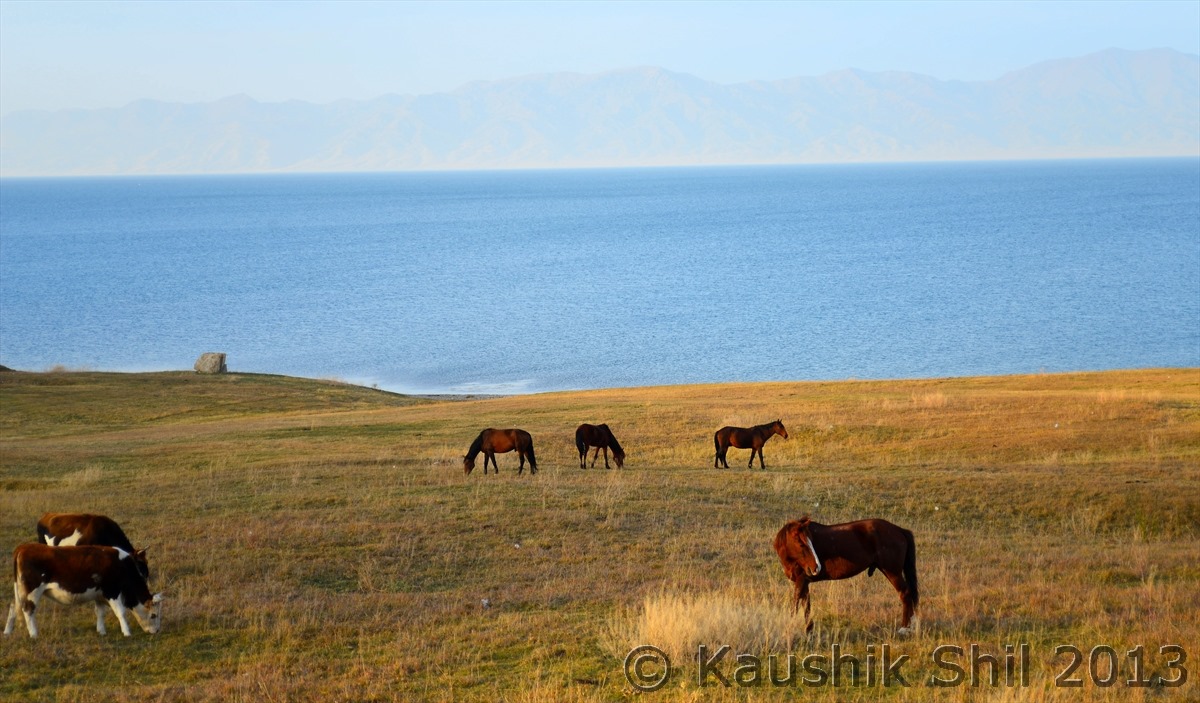
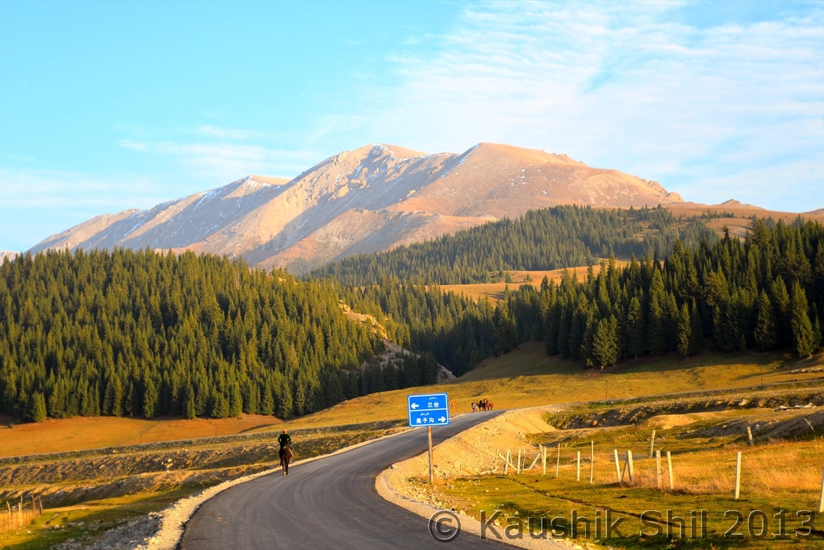
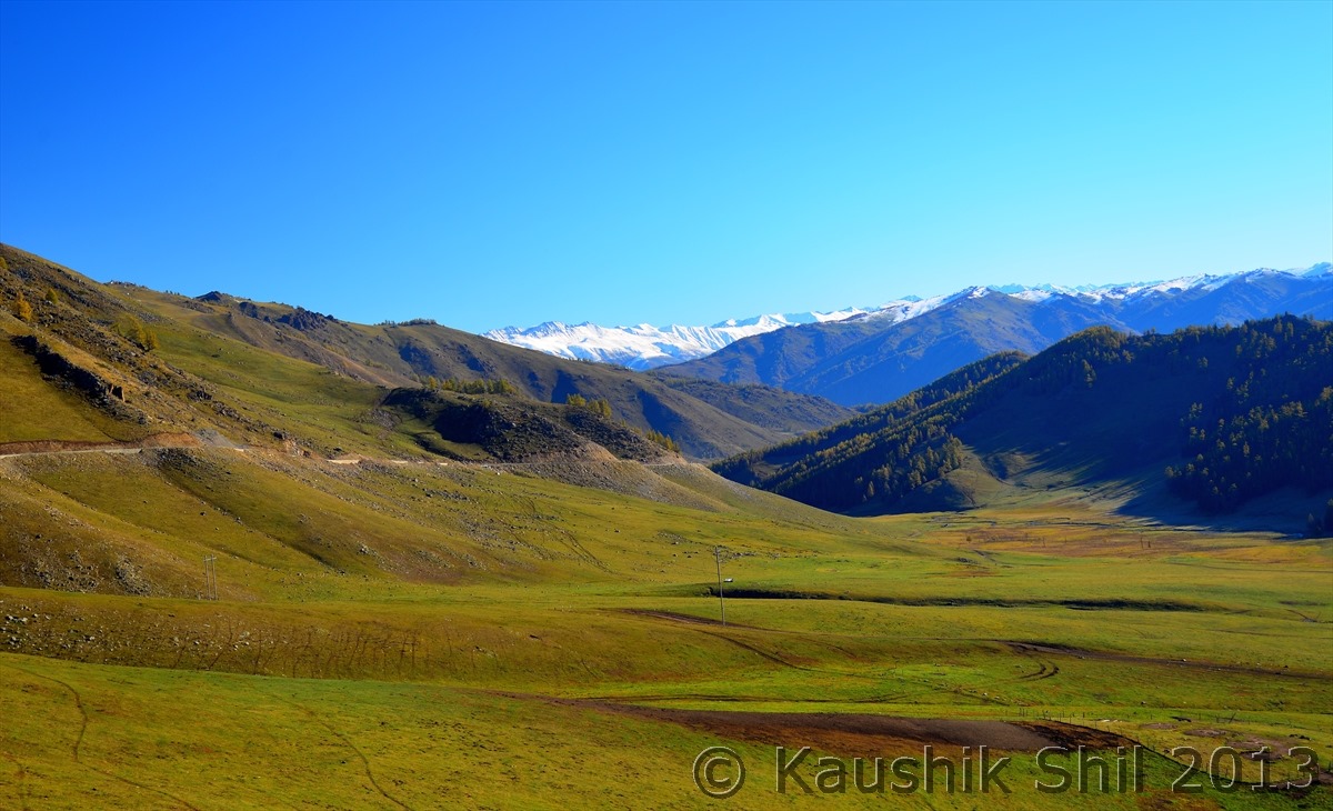
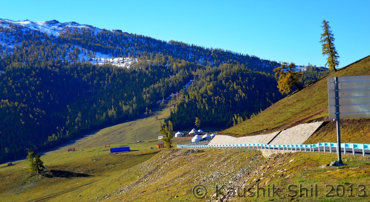
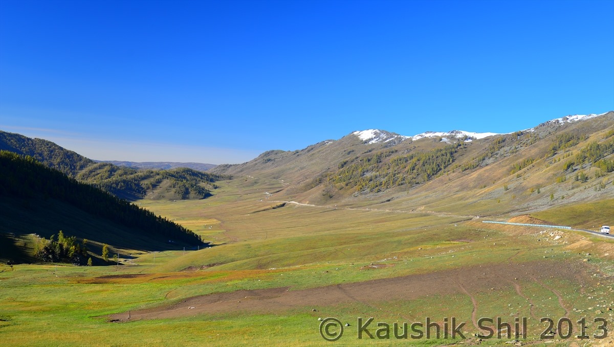
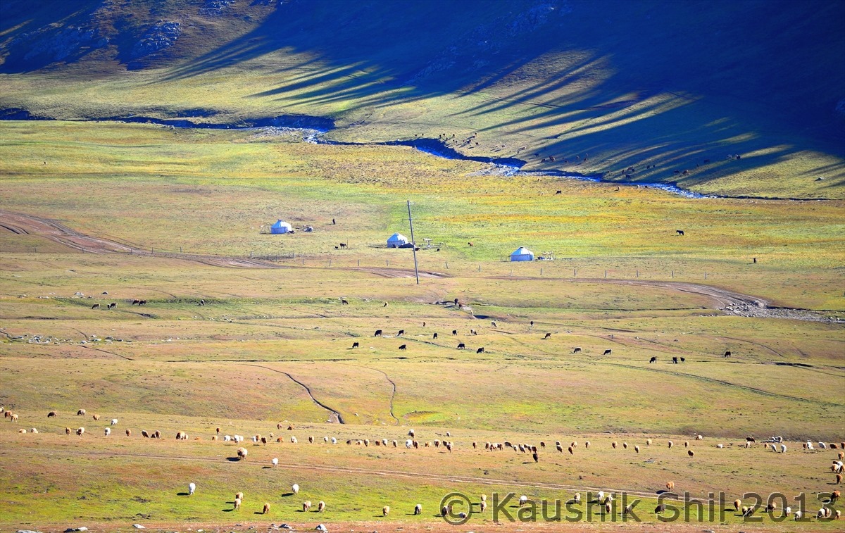
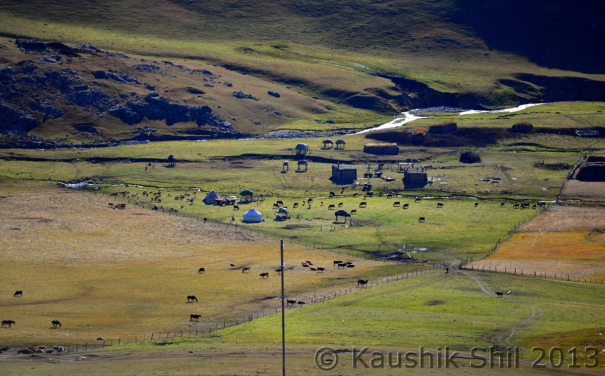
We never thought we would go for a trip out of India so soon when India has so many things to offer but destiny had something else written for us.
With reading and more reading, I found a place with amazing diversities, the place where it’s called roof of the world, Pamir Plateau and north face of world’s second highest point Mt K2 coexists with Turpan Depression, second lowest place in earth (After Dead Sea, Jordan) at -154 mtr below sea level, the four out of five fingers of Pamir spread over the entire region, starting from Altai at North, Tienshan in middle and Kunlun and Karakoram at South, a paradise for anyone who loves mountains. The place has the origin of only river in Asia that flows Northwards to meet North Sea and rest of all the snow melt waters of all these big mountains fades away in the world’s fiercest deserts, yes Taklamakan and Gobi. The place hosts 13 different ethic minority groups starts from Mongols, Kazakh, Kirghiz, Tuwa, Tajikh etc. apart from Uyghur’s who are more like European faces than typical Chinese and of course Hun Chinese. The otherwise deserted land produces China’s best fruits like grapes, Melon, Pomegranate, apples. The area produces 35% of Petroleum products of whole of China and we saw some natural oil springs just like water springs in Northern side (and that’s one of the major points of interest of China in this piece of land).Possibly only province / state in world which has almost 5000km of international boundaries with 8 countries named Mongolia, Russia, Kazakhstan, Kyrghizstan, Tajikistan, Afghanistan, Pakistan and India. Now when I started reading about its history it was even more amazing, the history dated back 3000 years from 2000 BCE when first trade established between Rome through Turkey, Iran to China through this route famously known as Silk Route. The then Persian Empire in helm of power, this land and its natives have a root with that Persian Blood saw many bloodsheds starting from inter group conflicts to its switching loyalties to two of biggest empires of history (Russia and England) and finally settled to be part of modern days People Republic of China in mid of last century. In the early 19th century, the region experienced conflicts between 2 biggies Russia and England to expand their imperialism, Kashgar was the center of ‘big game’ as history fondly calls it and many British officers starting from Thomas Montgomery to Francis Younghusband, started taking keen interest in these region to keep buffer states ruled by locals to distance Russia in coming to rich Indian plains. This was the time when they employed native Indians, disguised as Buddhist Pilgrims to survey these most treacherous region of earth starting from Pamir to Tibet and it was time when world came to know highest points on earth lies in this region as Himalayan peaks were measured for their heights and they tamed all other mountains, this resulted into creation of famous McMahon line that still runs as demarcation of India and China with lots of disputes.
So I found a place which was so much discussed in my school days history and geography text books and that triggered my childhood dream to visit this place and walk on the same path Marco Polo and Huen Tsang followed. Not sure how and when I slowly started thinking that I must visit this place, a dream slept for quarter of a century was rekindled.
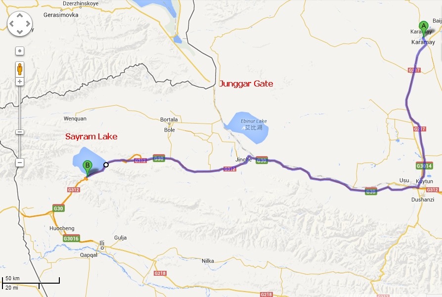
Initial plan was traveling the state of Xinjiang and following the ancient trade route that used to get diverted from Yarkhand, start elevating to cross Kunlun and Karakoram Pass to enter the Daulat Beg Oldie area of Northern Ladakh and then follow Saser La to Panamik and Nubra Valley and finally reaching Leh by crossing Khardung La, the road continues to Kashmir Valley via Zojila and finally hit Punjab Plains. We thought of taking western highway regarded as deadliest and loneliest road in earth to cross over Aksai Chin to Tibet and then coming out through Kathmandu. The plan was in place until June when recent Sino Indian conflict reached it peak and I got taste of my first sweet Chinese diplomacy. We would cover in depth later but just to let you know to cover this region you need 5 permits on top of Chinese Visa and one of them was foreign affairs permit for which I spoke to the foreign affairs ministry of China and what I finally got was a raw deal (expected for an Indian). I was given few conditions which was not just way too costly but impossible and conflicting my main objective of driving through this region. More of that later but finally I learnt hard way Chinese usually neither say nor like to hear the truth, they prefer what is correct (you know that’s again a relative word), so you should understand and follow what is correct in Chinese eyes and I modified my trip and to compensate my broken dream planned to include the Tibet by riding the famous mountain trains from Xining to Lhasa and following friendship highway to Kathmandu to end the ambitious trip.
The plan was born but execution was a real challenge as I understood I have chosen two largest provinces of China (XUAR – Xinjiang Uighur Autonomous Region and TAR – Tibet Autonomous Region) and not only that, the word ‘Autonomous’ region means something wrong in Chinese language and actually I chose two major uncomfortable areas of Chinese mainland where they want least international focus, least attention for number of reasons. For those who might be new to these regions, an Uighur needs to spend 5 times more time and money to get a Chinese Passport than a Hun Chinese and for Tibetans it’s grimmer, the don’t ever get a Chinese Passport. So obviously if you write in your visa application that you would like to visit Xinjiang and Tibet, Chinese would take the application with 3750 INR and thankfully send you a polite note declining the visa (but they would mention you can apply again as if this is just an isolated case and if you apply, you would loose again your application money, nothing else would happen). As I mentioned earlier play the Chinese game in Chinese way, you need to be correct but not honest with them, that’s the bottom line for anyone who want to travel this part of China.
In home front Rupee touched all time low of 69 against USD and Chinese Yuan reached all time high of 6.1 against USD, double edged sword actually. I booked major international tickets long back, so that was a relief but again I can’t book domestic tickets so easily, the name of the country was China, they allow you apply Visa one month before your departure date and so we had to wait to see how INR falling sharply against dollar, then there were hassles of getting lots of permits specially in Tibet, then it was a challenge of traveling inside China as you can’t book train tickets without knowing Chinese and having a Chinese Credit Card, you can’t book bus tickets without going to bus stand just 2 days before journey, you can’t be sure the hotels you might book would really accept foreigners are not (Very selective hotels specially out of big cities like Beijing / Shanghai / Kunming / Guangzhou / Chengdu etc accepts foreigners and they need a compulsory registration of foreigners to Public Security Bureau (PSB) whenever you move from one town to other. So challenges are countless and we are just two adults and one child, determined to go to Chinese hinterland, see the China what few Chinese even have seen in their life.
We started our ambitious trip on 21st Sep early Morning and back on 19th October making it a month long trip, let’s see few highlights first before going to more texts to give you an idea if it was really rewarding taking so much pains to travel this part of world.
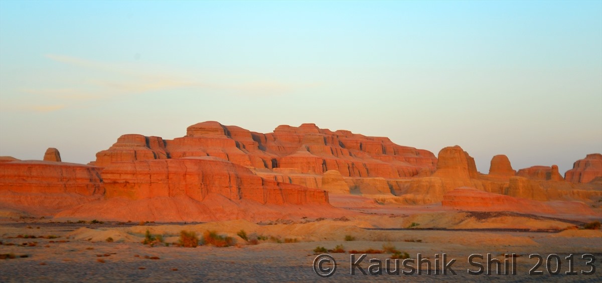
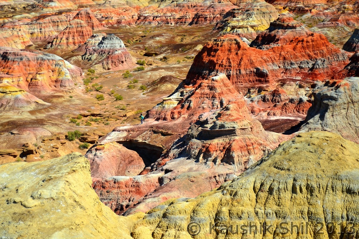
Danxia Landform inside Gobi Desert – Painting by Nature herself: (Anyone finding any similar scene in the film “Crouching Tiger, Hidden Dragon”):
Far away Friendship Peak – 4 borders of Mongolia – Russia – Kazakhstan – China Meets together:
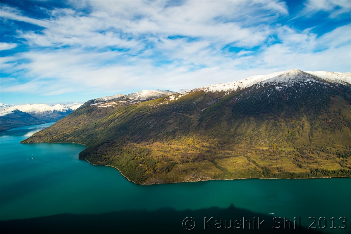
Amazing Kanas Nature Reserve, as per National Geography of China, it’s considered as second most scenic lake of China after Qinghai Lake:
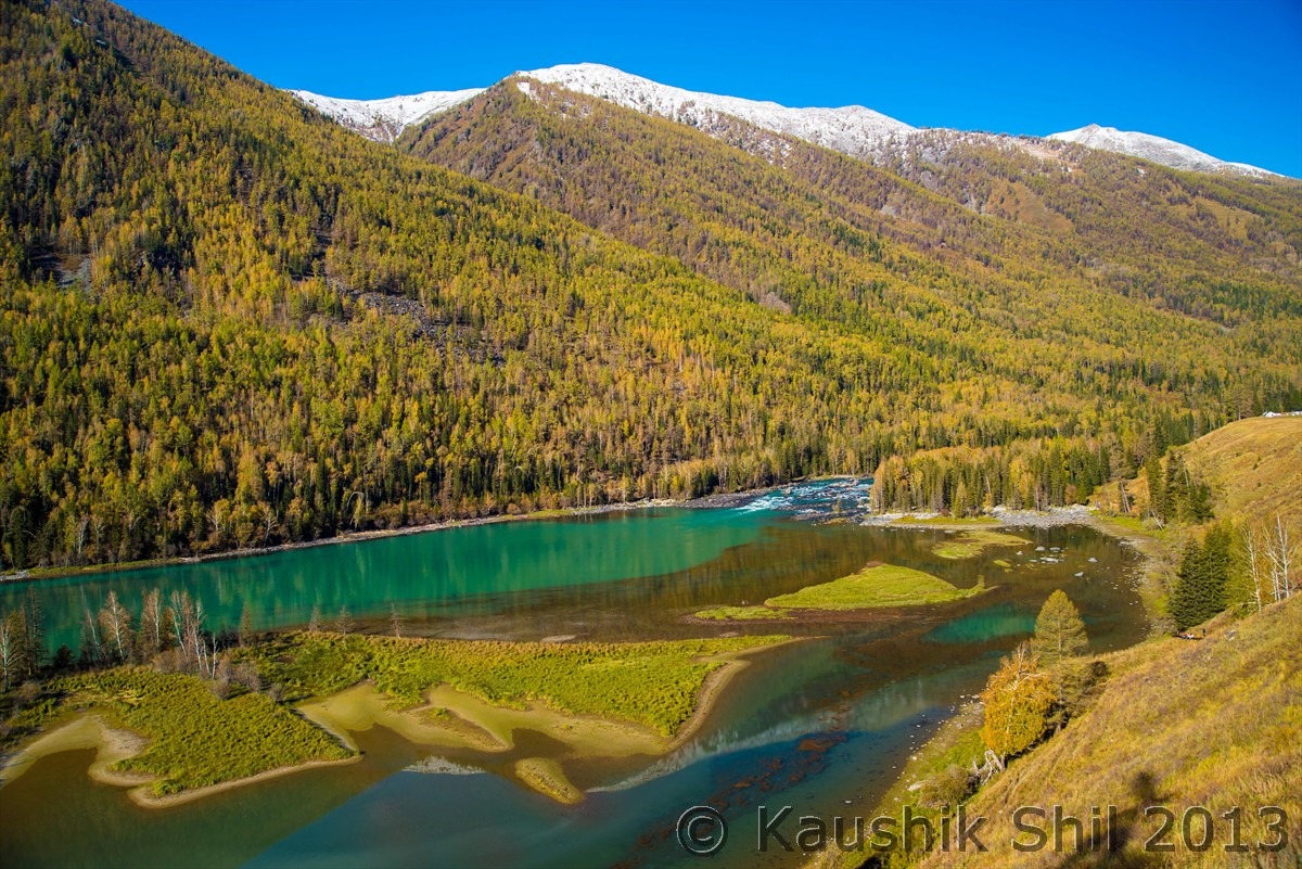
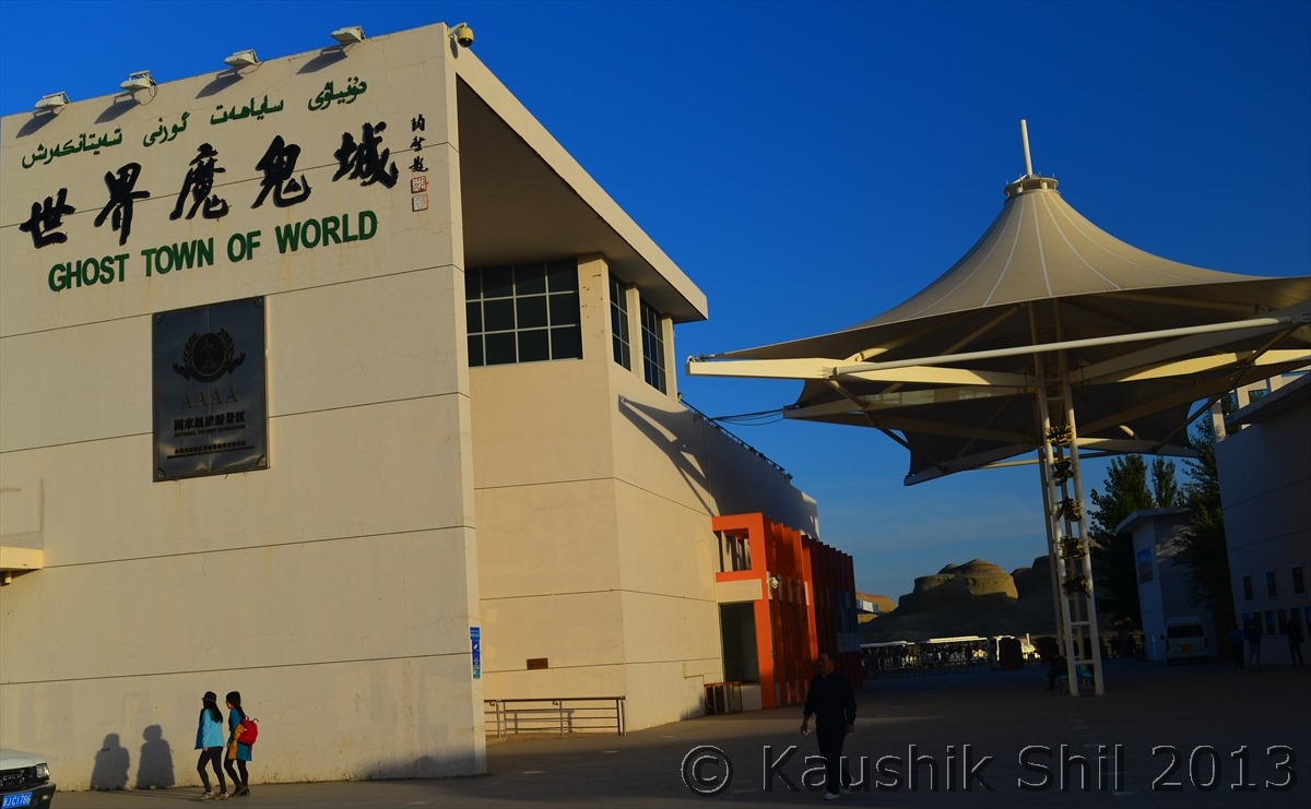
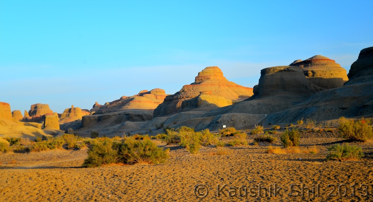
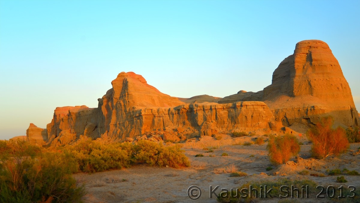
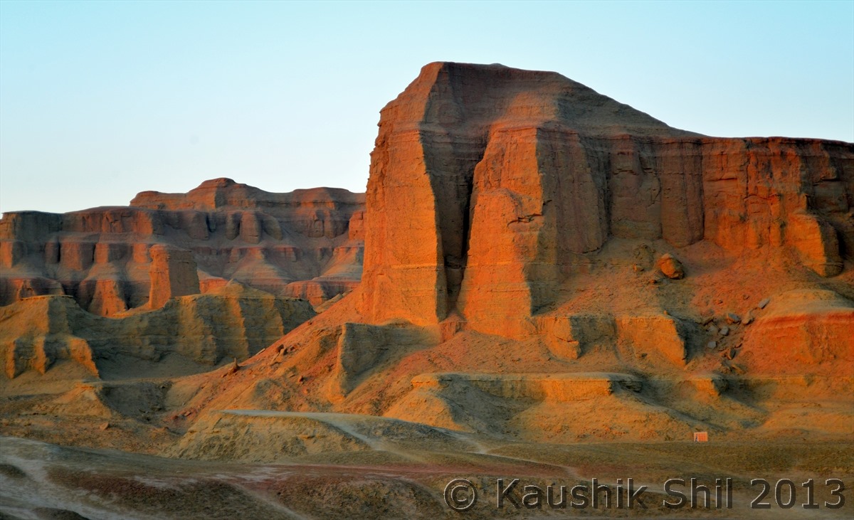
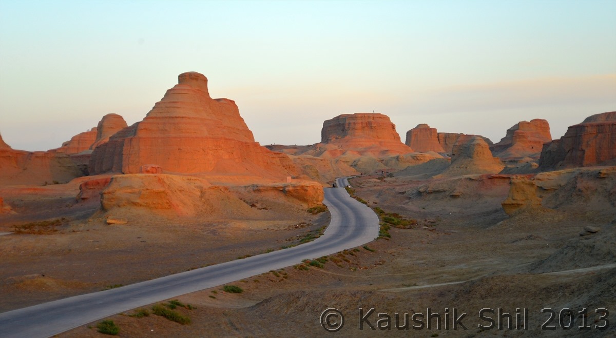
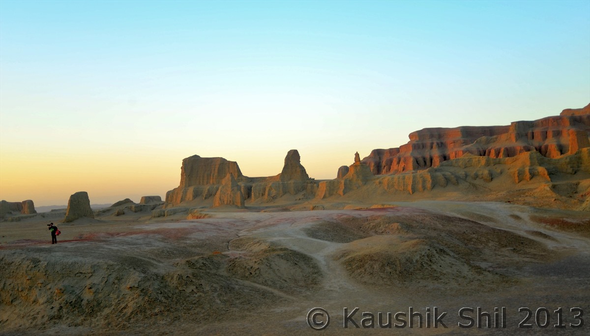
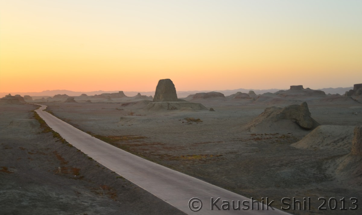
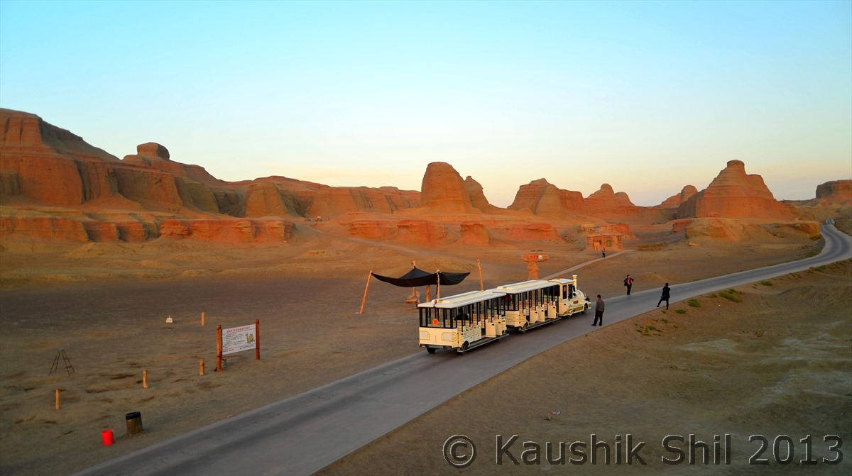
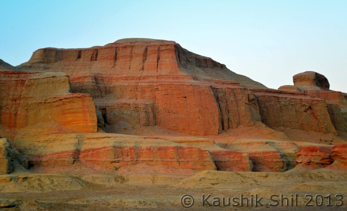
Ghost Town near Karamay – Amazing erosion art by Air:
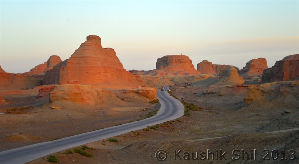
Tienshan Grand Canyon – Majestic:
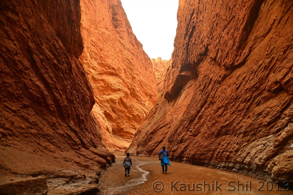
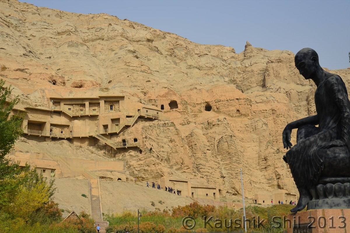
Kumarajeeva who started spreading Buddhism in China from Kuqa:
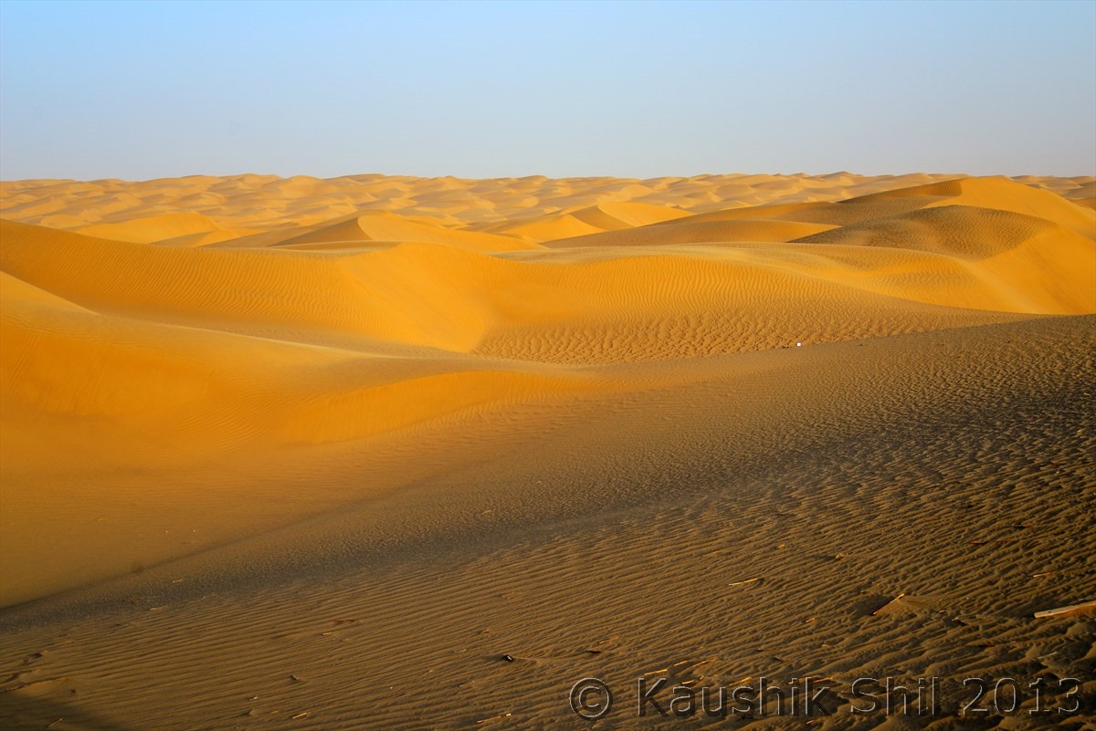
Infamous Taklamakan Desert – World’s second largest after Sahara and definitely fiercest of all:
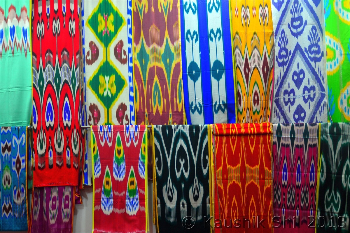
The famous handmade silk – from where the historical Silk Route originated:
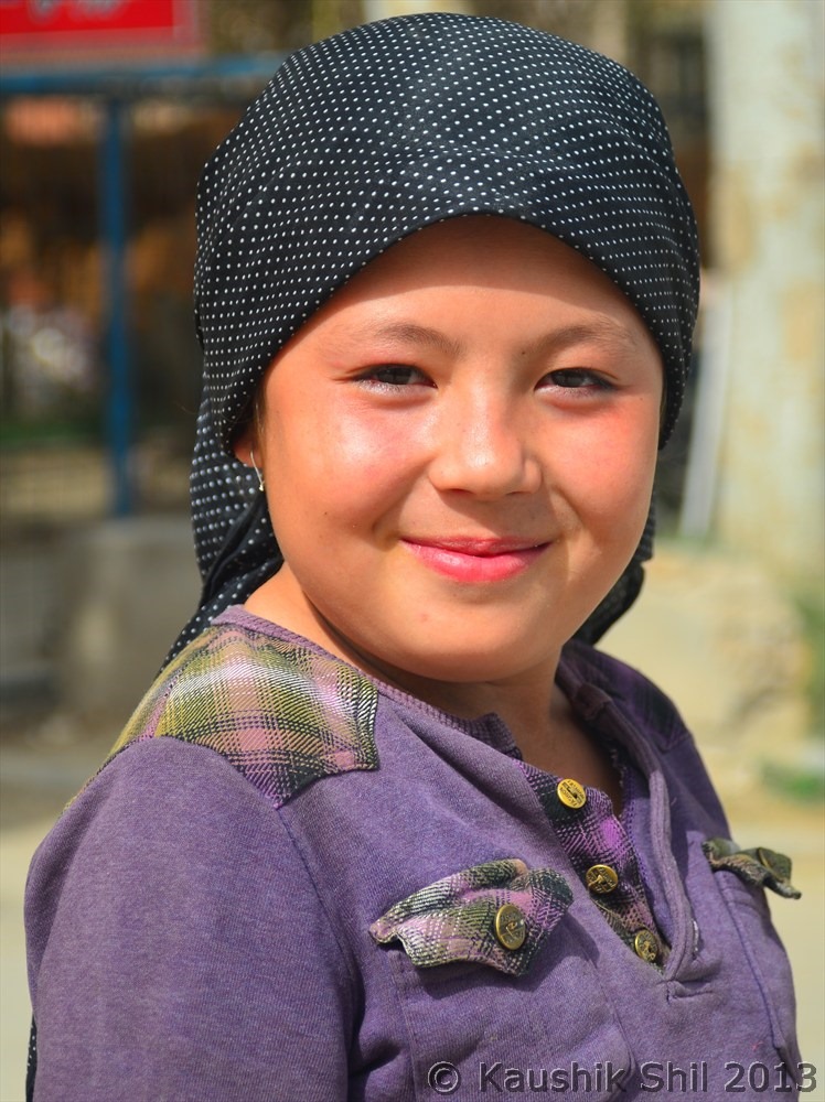
One young Uighur Carpet Maker, they retain it generation wise:
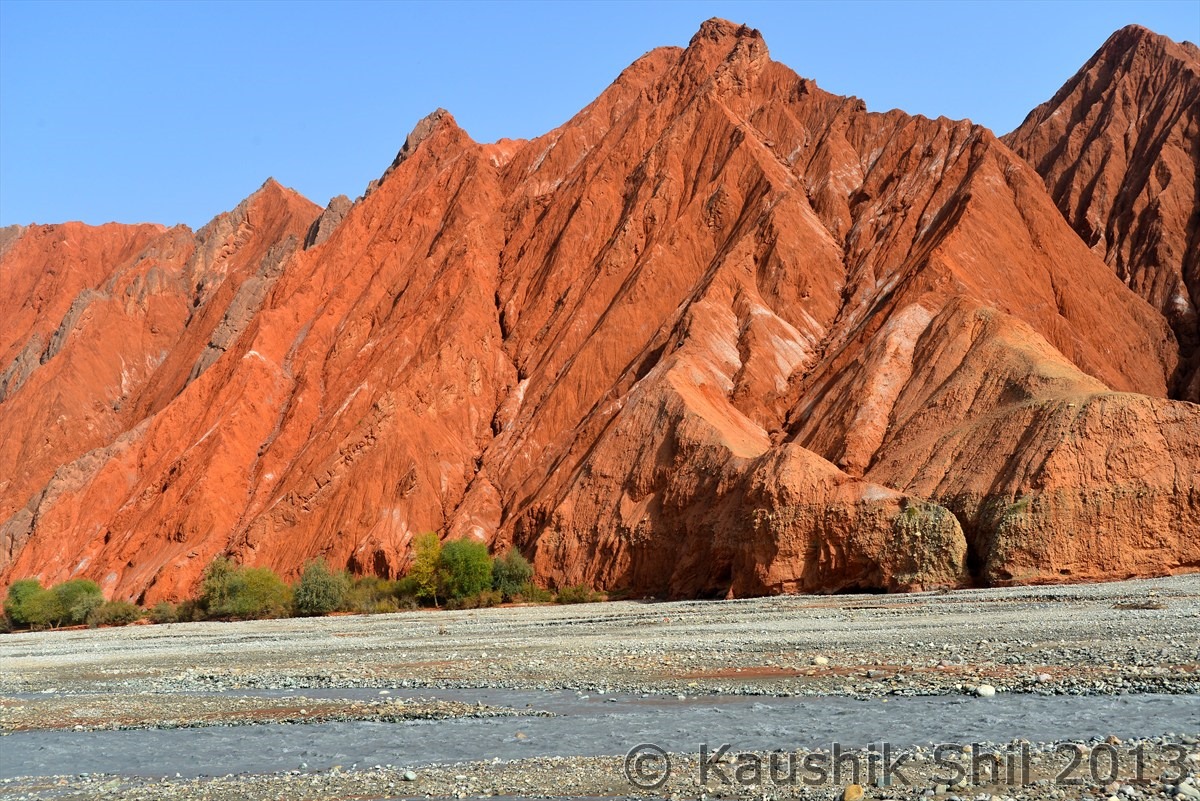
Colorful Canyons towards High Pamir:
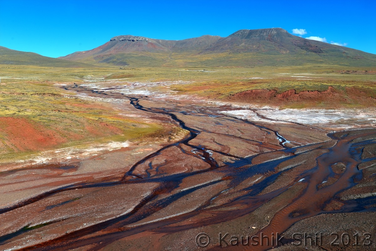
Tibetan Plateau, The Riots of Color will amazed you:
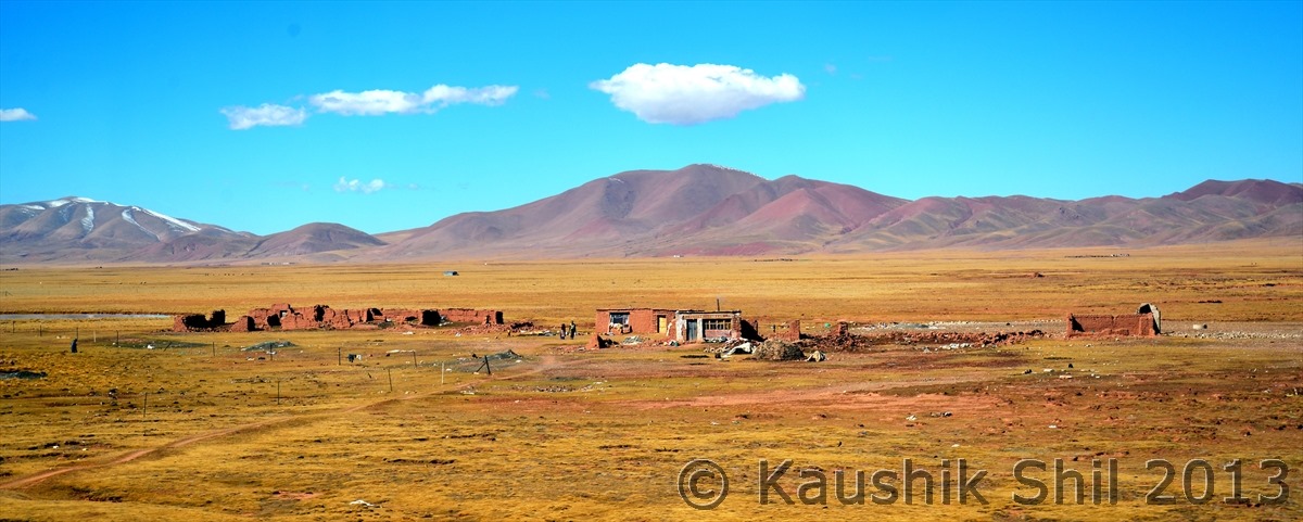
Tibetan Village in the middle of grassland:
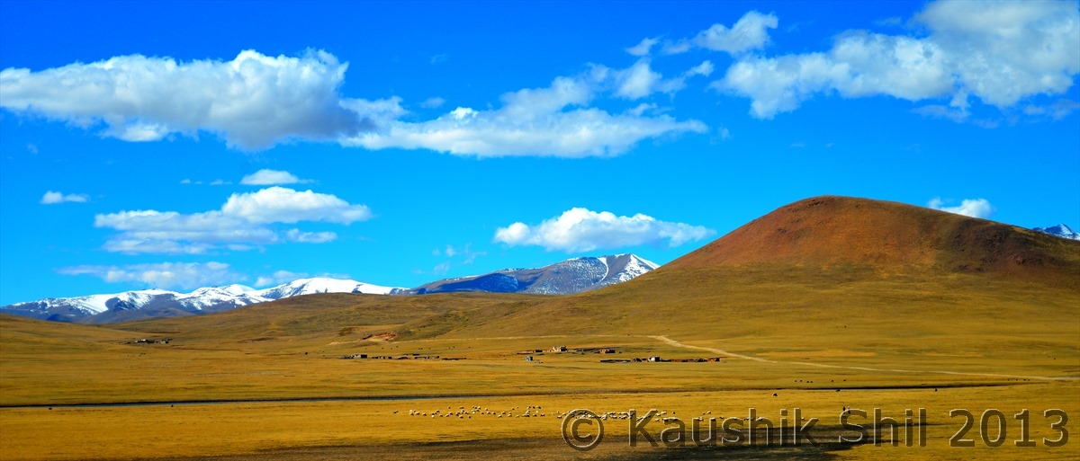
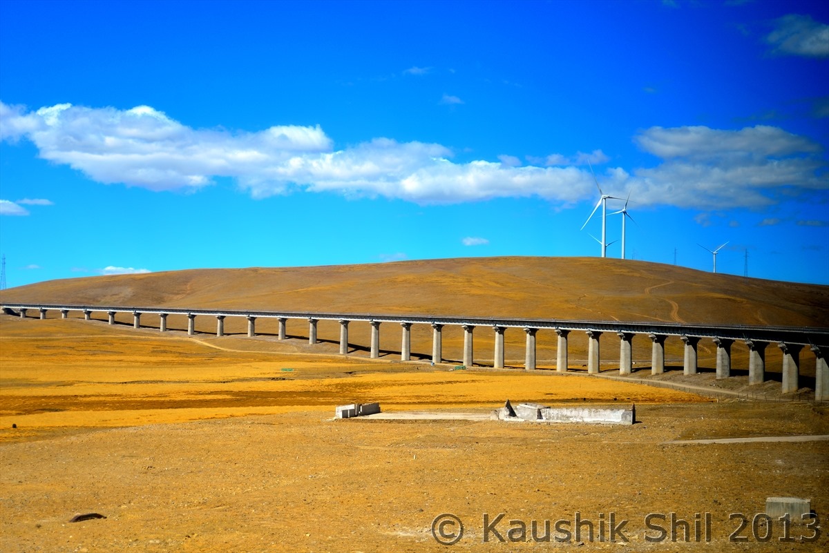
The Railway made its way through highlands:
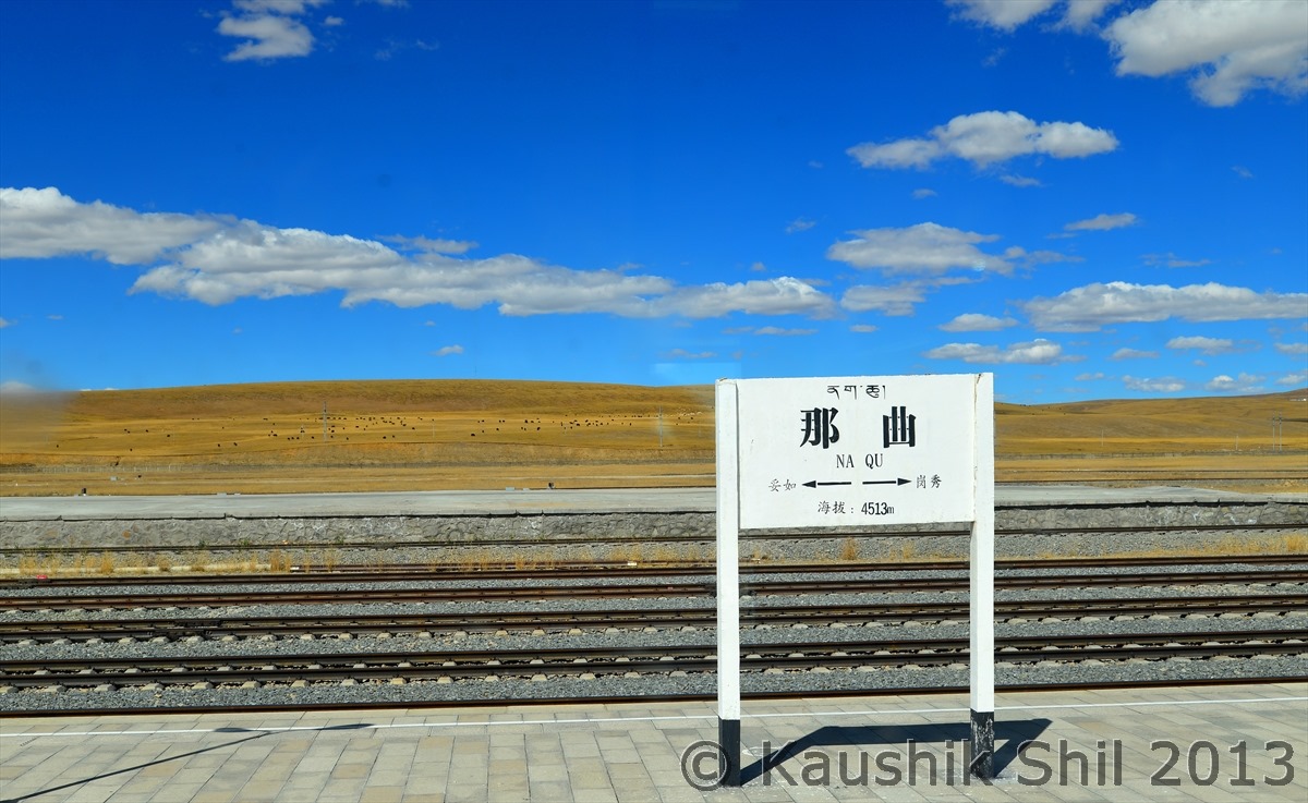
That’s a station, note the height written (Don’t ask me where you will go if you get down here):
Tibetan Nomad Tents:
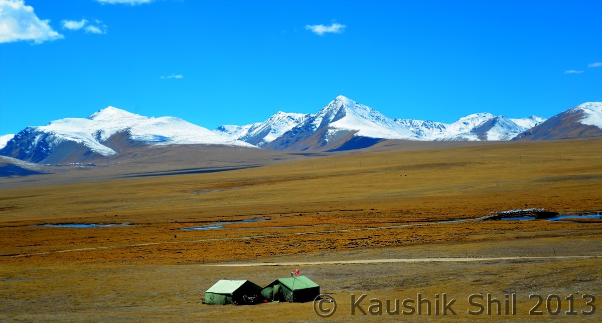
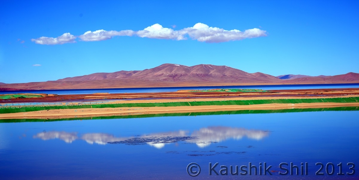
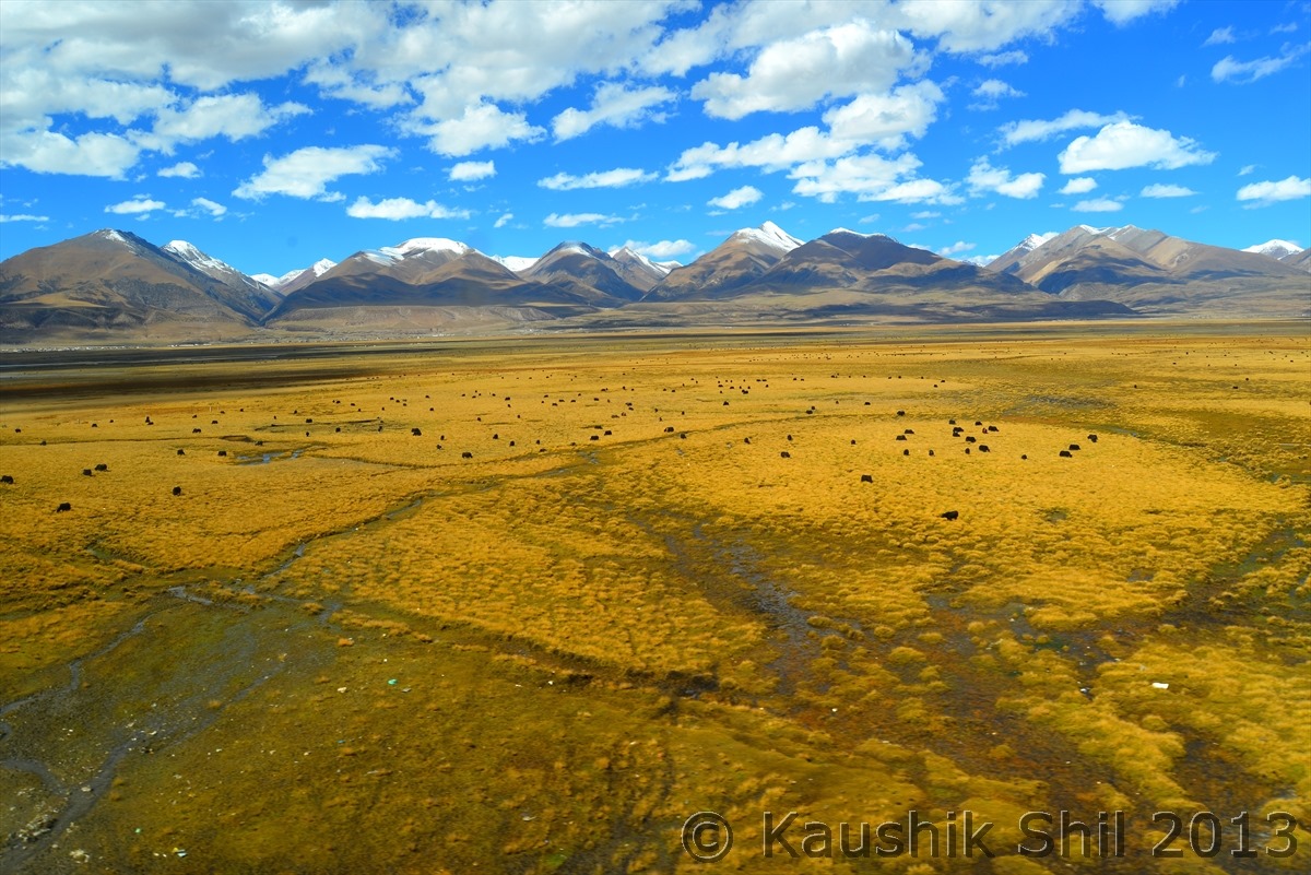
Where ever you look in your 24 hours journey, it’s a frame to capture, how many you can capture actually? Just a few for you:
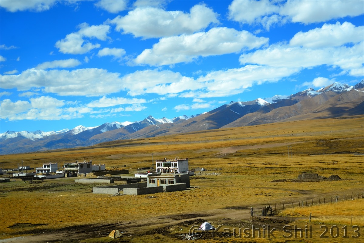
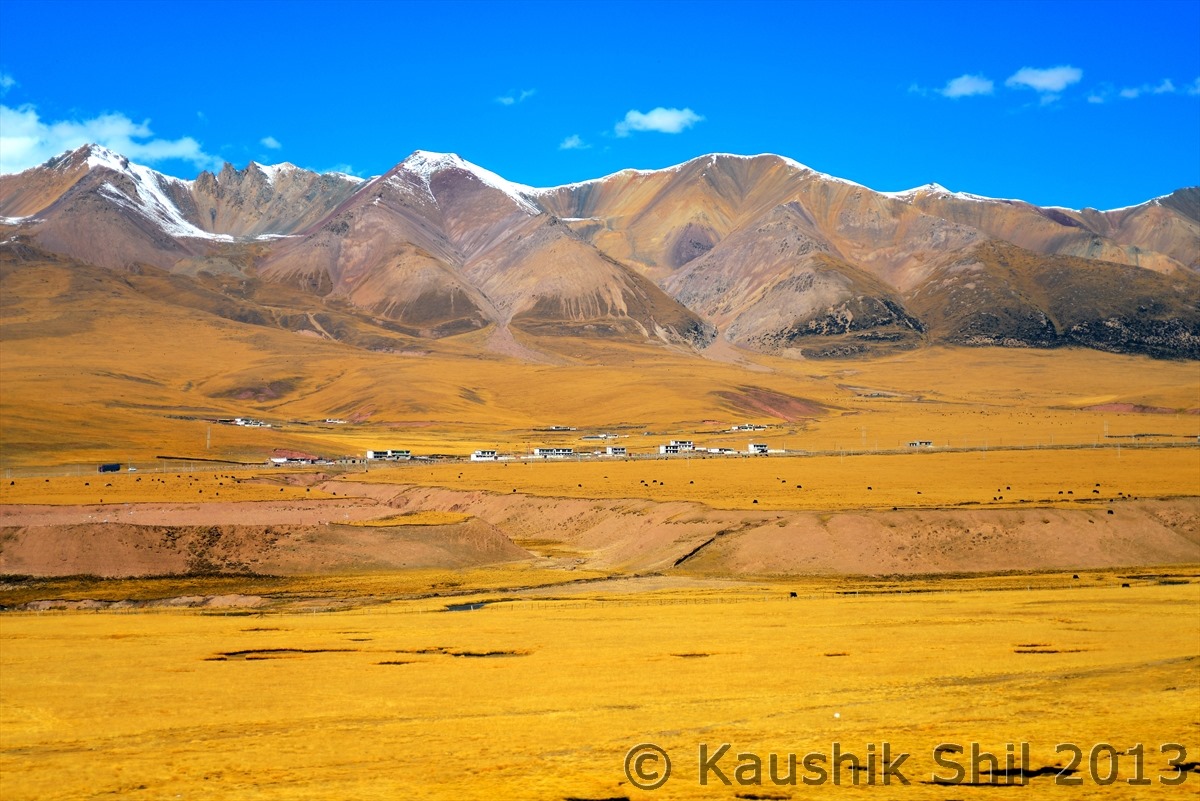
That’s you call a Vast Grass land:
Next: Xinjiang, China’s Central Asia and incredible Tibet – Route Overview

