Amazing Arunachal – Way to Along and Mechuka

Day 12:

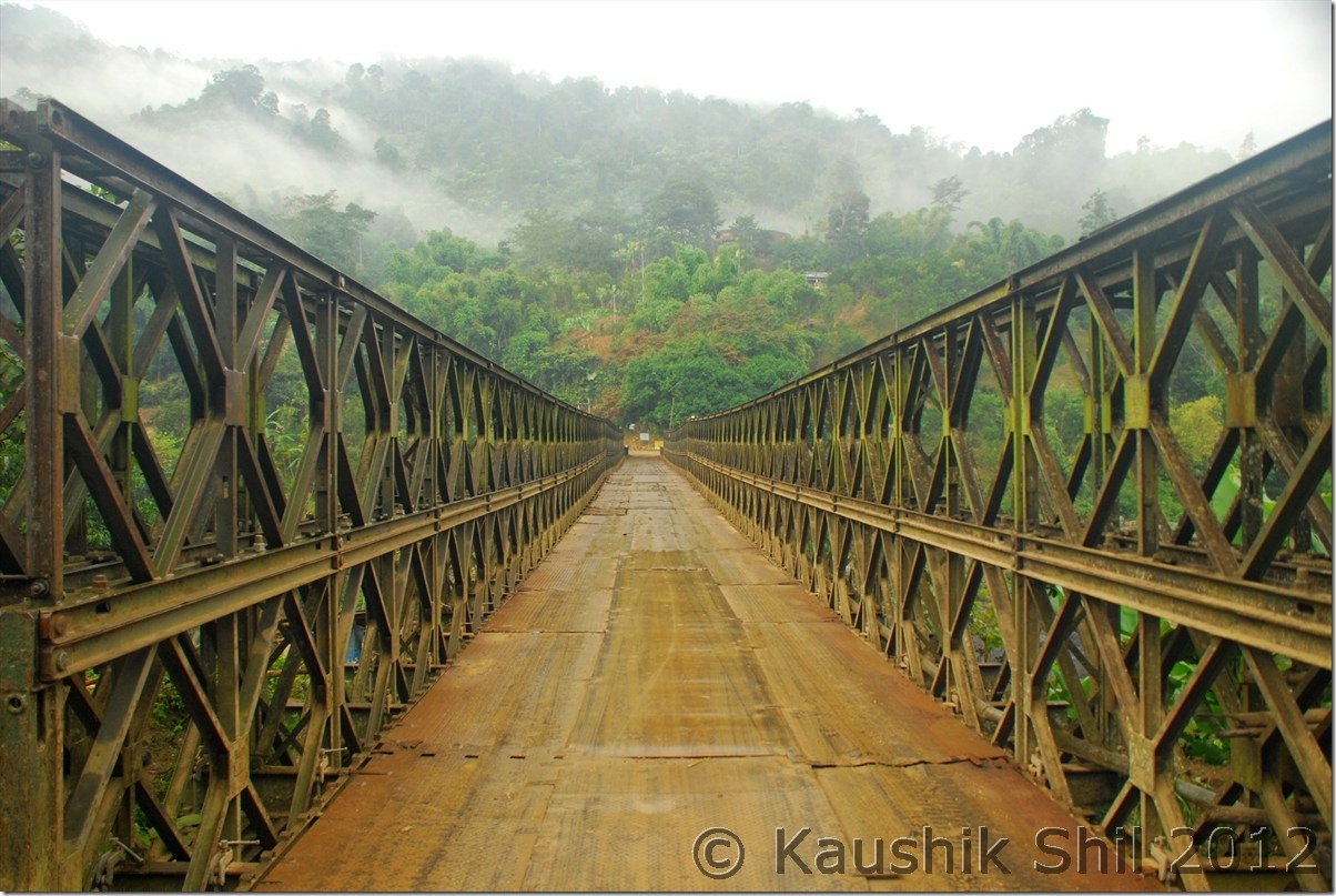
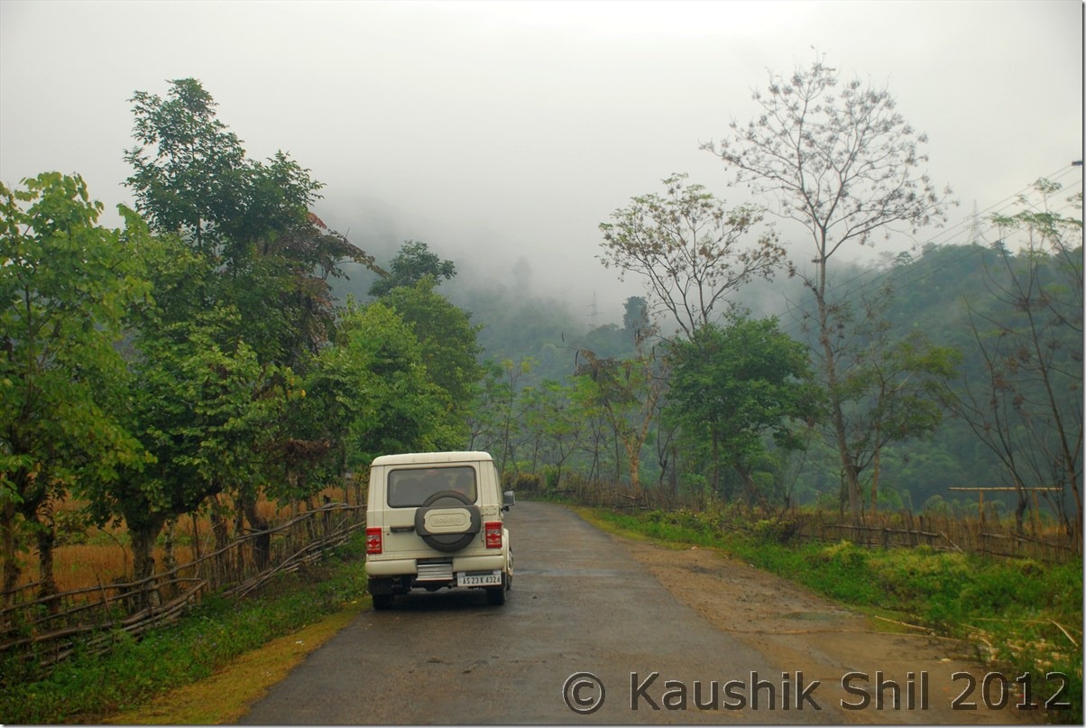
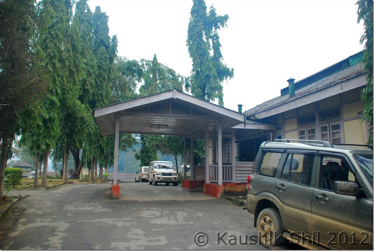
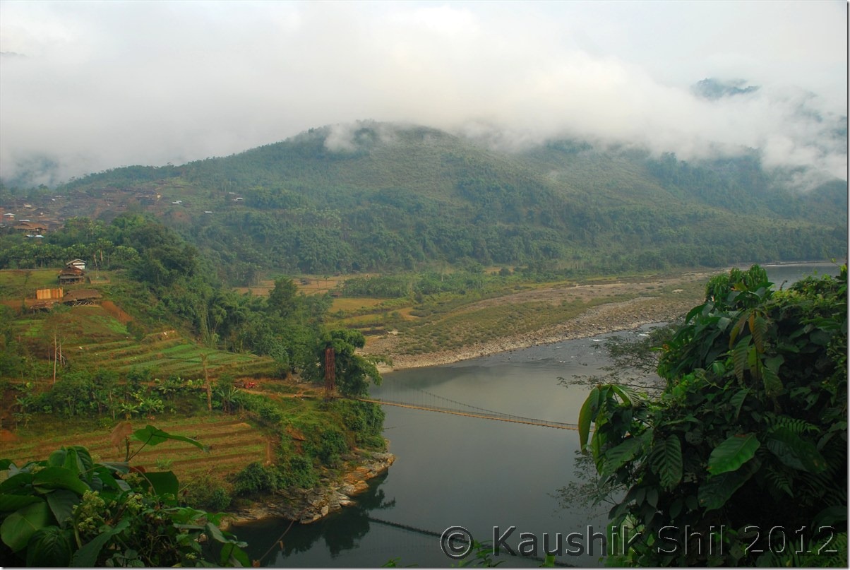
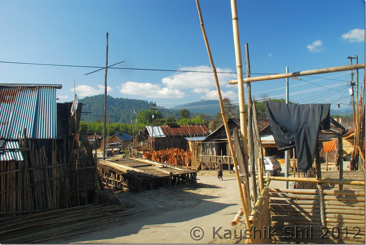
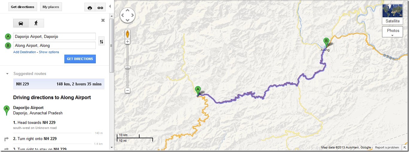
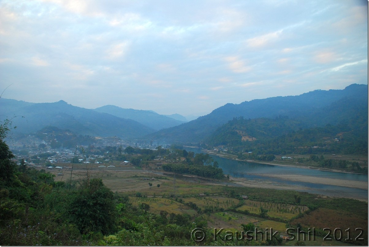
As I mentioned neither the town Daporijo was welcoming nor we had a pleasant stay in circuit house, we decided to leave early even without taking the breakfast. That was a cloudy day with constant drizzle, in whole trip first time we were encountering real Arunachal weather. Initially once you leave Daporijo, after 7 km you would find an iron bridge, taking right on the bridge would take you towards Along where as taking straight the road without crossing the bridge (Subansiri river) would take you to Nacho and further towards Limeking which is close to Tibet Border. We somehow missed the bridge and traveled extra 8km before we understood we didn’t take the correct turn for Along. There is a famous temple called Meghna Cave Temple some further 20km from this junction but we decided to skip that considering the poor visibility and weather and the long 180km of travel we had to do to reach Along on that day. Also this time we wanted to reach as early as possible to sort out any issue we encounter in getting the Circuit House. In Along also we booked the Circuit house but Along is one of the biggest and friendliest town in whole of Central Arunachal where you would easily get comfortable private accommodation too. Barring last 50km road stretch from Bame to Along, rest of the road between Daporijo and Along are in quite good shape. There is no Shared Sumo service between Daporijo and Along and as a result the road is almost traffic less and for quite sometime Subansiri river would accompany you. It’s the point Bame from where you would get a Y junction, the left fork of Y would take you to Along where as right fork would take you to Assam via Likabali Check gate. If someone wants to access Along directly, Likabali is the best way to enter Arunachal as that becomes the shortest route to approach Along. The whole route is very scenic and ideal for a driving trip. We found a nice restaurant some 15km beyond Daporijo, developed by Arunachal Tourism which was located in an awesome place just beside the Subansiri River. We tried to have breakfast there but people working there were still sleeping in that idle rainy day. They said it would take almost 45 minutes to prepare breakfast and we decided not to spend that much time there and proceeded further. But this is a place where you could enjoy the greeneries of Arunachal at its best. We reached Along after taking couple of tea breaks, photo breaks were not that much required due to poor weather but still it was almost 3.00 in afternoon we reached Along. Every Arunachal towns are so nicely located, like Daporijo, Along is located just by the side of Siyom River, which we would follow during our next journey towards Mechuka. That was a Sunday, we reached Along Circuit House but it was lot more organized with much better people than what we faced in Daporijo. They easily found our names in Guest List, already allocated the room and room was specious and warm, attached toilets were clean, what more you could expect by paying Rs. 200/-. All Arunachal’s Circuit Houses are definitely value for money. Once we settled, we gone to take our late lunch in roof top restaurant of Hotel Toshi Palace, owned by Mr. Pakge Ete and his wife Mrs. Hinya Ete, very nice hosts they both were. We had some good lunch and most importantly Mr. Ete gave us lot of important information on road conditions, distances and most importantly few key contacts in various places like Mechuka, Tuting, Monigong etc.

The Driving Distances for the day:

663 – Daporijo
669 – The Bridge over Subansiri to take right towards Along
714 – Mare
757 – Tirbin
787 – Bame (Y Junction to Along / Daporijo / Shilapathar via Likabali)
835 – Along

Today’s Journey Map – Daporijo to Along:

Daporijo_Along

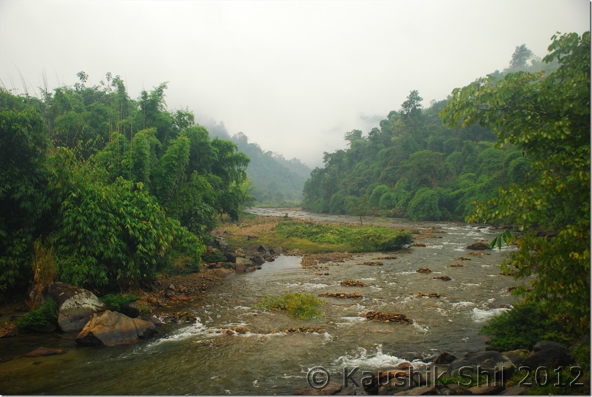
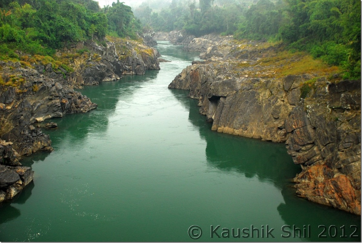
Subansiri River:

DSC_0421

Crossing the Bridge:

DSC_0428

Subansiri River:

DSC_0429

Way side Restaurant:

DSC_0435

Towards Along:

DSC_0436 DSC_0441

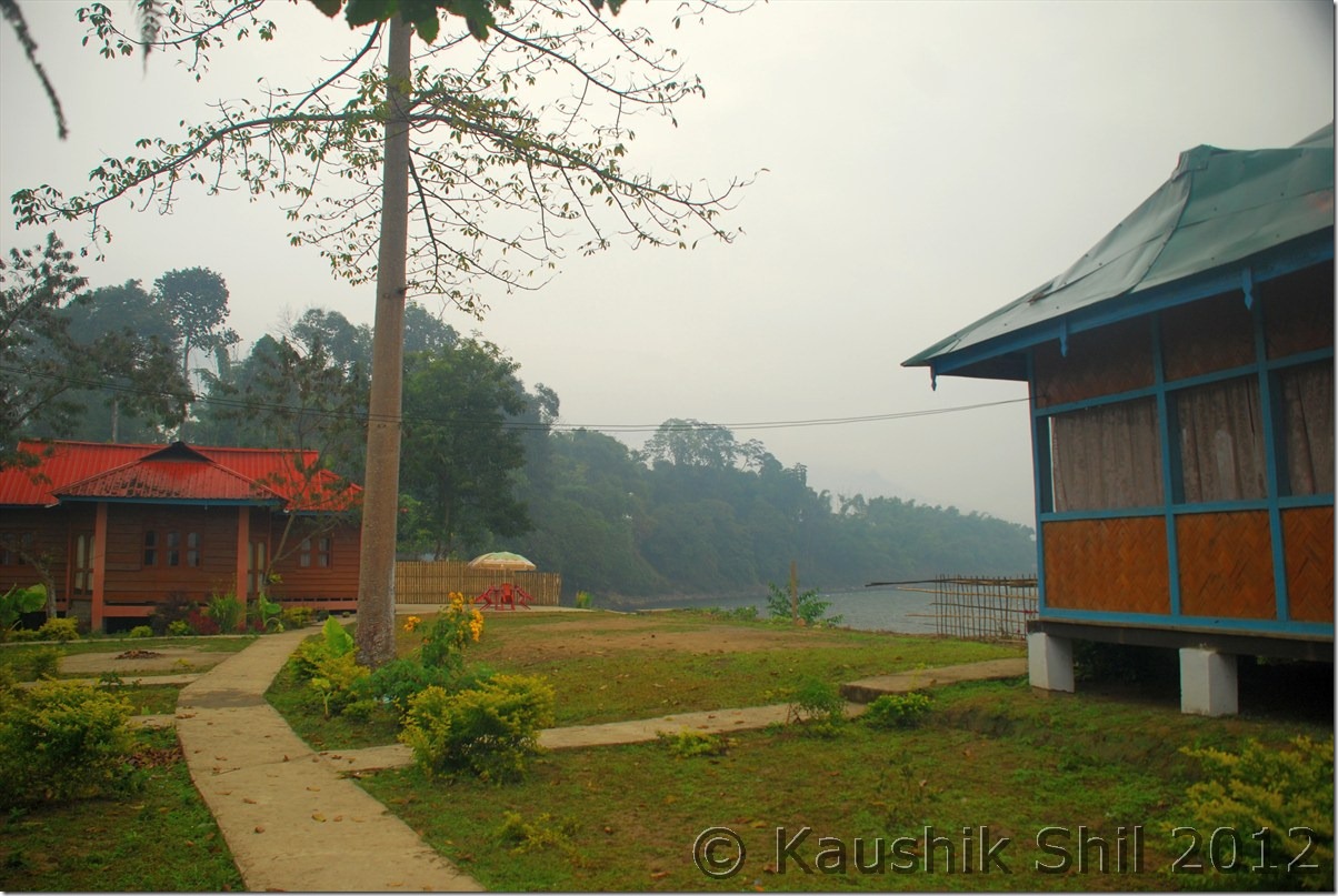
Along Circuit House:

 DSC_0449

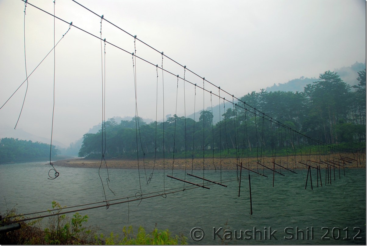
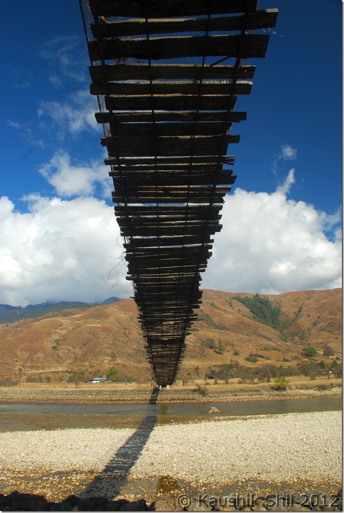
Bridge on River Siyom:

DSC_0459

Day 13:

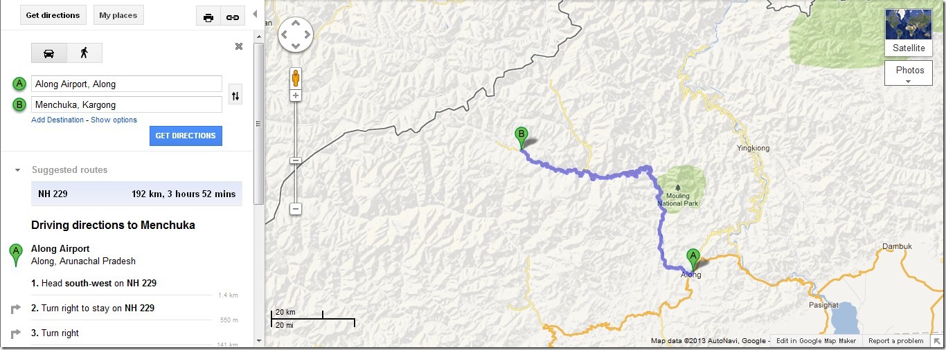
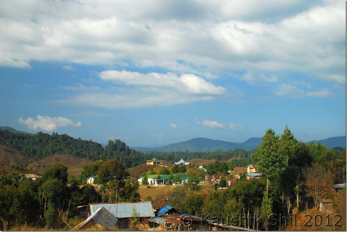
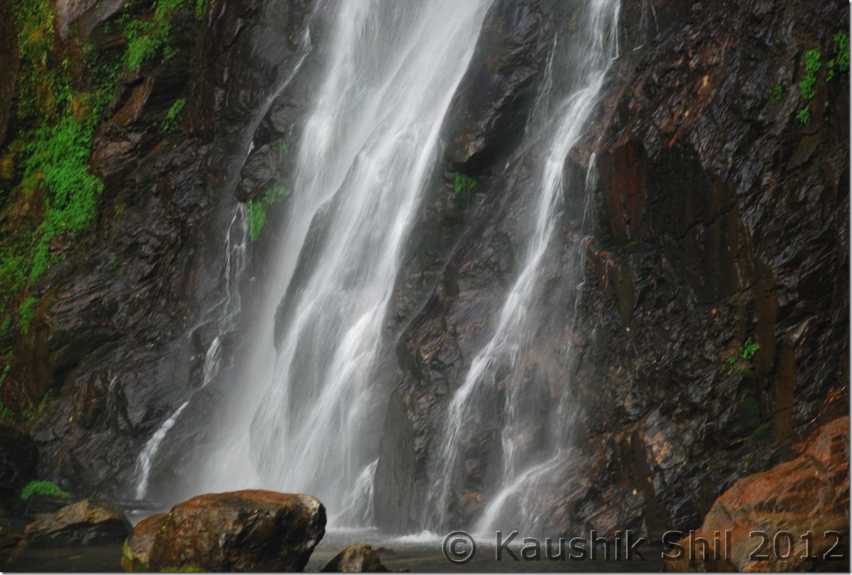
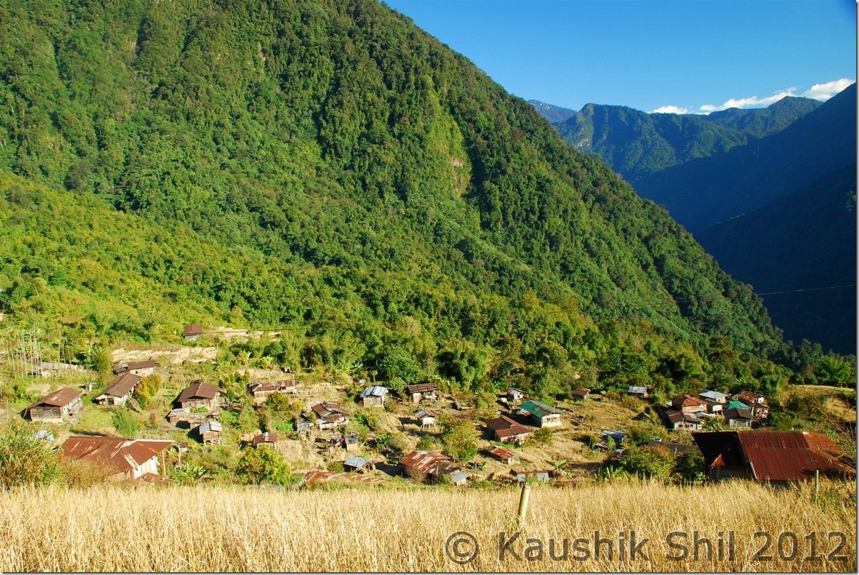
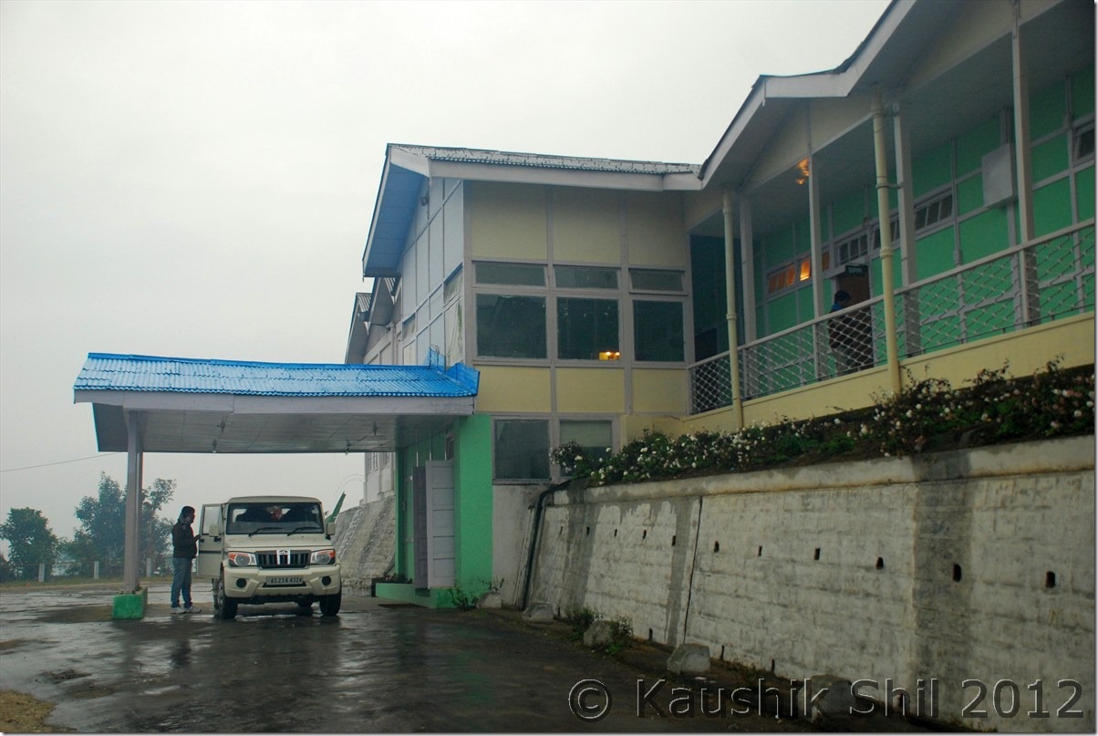
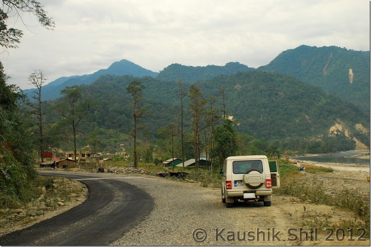
Once again we had to wake up early and without having the breakfast we left by 7.30 in morning for our next destination Mechuka. The weather was initially little foggy and misty but slowly it started clearing out as we proceeded from Along. While you are coming from Daporijo to Along, just before entering the town, the main road turned right towards Along and straight road goes towards Mechuka via Tato. Initially the road was little bad for first 10 km but then it would changed to one of the best North / South road I have ever found in Arunachal. The road connectivity established some 7/8 years back as I heard from locals and before that it was simply almost a week of walking for almost 200km to reach Along for buying their daily needs. Historically the people of Mechuka, Monigong and other border areas were actually doing their business with Tibet through Lola pass and Dumla pass, both were sealed completely since Indo-China war of 1962. The terrain is located in such a way, it’s much easier to travel to Tibet highlands than to travel to Indian Planes. As we proceeded, Siyom river with its beautiful blue water was following us constantly at right. We had our breakfast at Kaying which is the most developed place in whole Mechuka Valley. The road was excellent in Arunachal’s standard and you would find a lot of shared Sumo traveling between Along to Tato and then Tato to Mechuka and also between Tato and Monigong. The proposed Trans-Arunachal highway connecting from West to East through much higher up in mountains touching this road twice and in future would improve the importance section of this road. We have found work was going on in two different sides, Eastern side was being connected to Daporijo via Daporijo – Nacho road and Western side was connected to Tuting by crossing Siyom River. Once the road would be built, both Daporijo and Tuting could be reached by a day’s drive from Mechuka bypassing Along. We had our lunch at Tato and from Tato it was almost a 4 hours drive to Mechuka and 6 hours drive to Monigong. Road to Mechuka has made tarred but Monigong road is still not tarred and as I understood from locals even Bolero’s ground clearance was not sufficient, only possible way to drive through the road to Monigong is during dry period of Nov/Dec and that too only in a high clearance car like Sumo, mainly because the road which actually doesn’t exist in monsoon is only navigable by Tractors. We didn’t have much time as well this time to explore Monigong and only possible accommodation option there was a Govt. Inspection Bungalow which might be full as there was not even any phone connectivity there to confirm the accommodation status. Just after leaving Tato we found a very nice waterfall on road side, spent some time there, took a few snaps before we proceeded further to Mechuka. I called up Mr. Poyom, ADC of Mechuka last night from Along and confirmed our 3 nights stay in Mechuka Inspection Bungalow. It’s location is beautiful near old monastery and higher up on the hill, you could get a good view of Mechuka from top. We found the IB chowkidar quite nice and friendly and he called up the cook to come for preparing our dinner. Mechuka has no electricity, power is supplied by running generator between 6.00pm to 11.00pm.

The IB was nice and clean and it had the primitive heating system with firewood, it was very chilly but clear night outside where as inside we had a nice time chatting with Asim in nice warmth of fire place and had a nice dinner prepared by cooked before we retired for the day.

The Driving Distances for the day:

835 – Along
860 – Kampa
880 – Kaying
969 – Tato
019 – Mechuka IB

Today’s Journey Map : Along to Mechuka

Along_Mechuka

Kaying – Road towards Mechuka:

DSC_0464

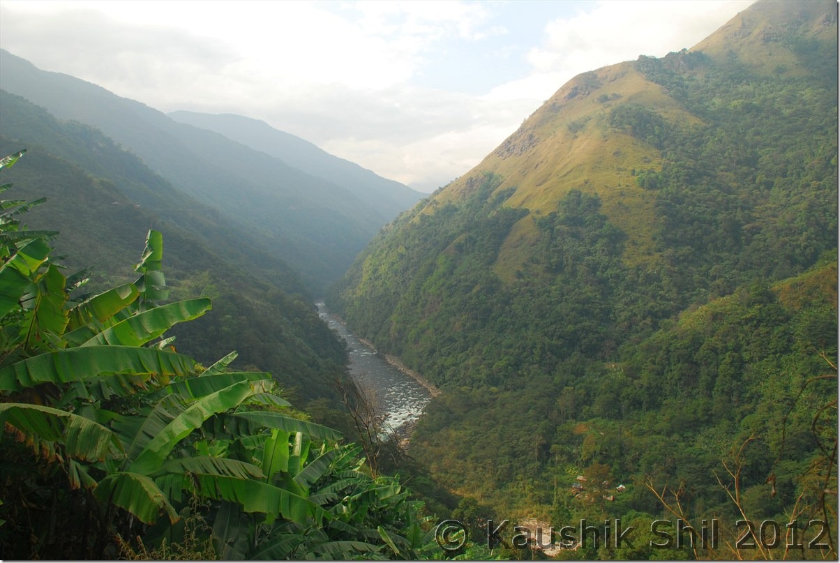
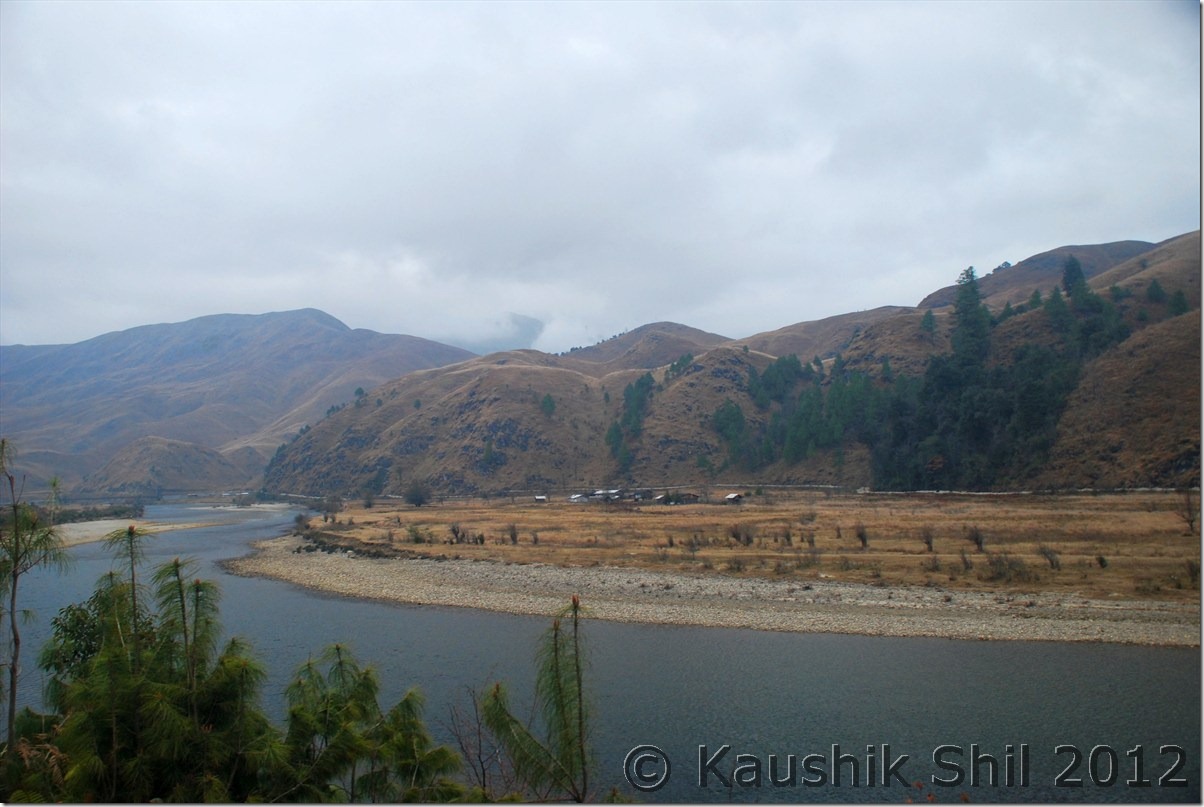
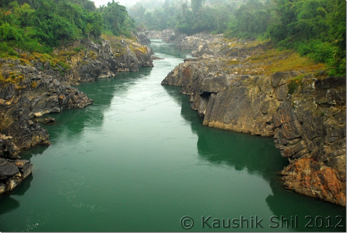
Siyom flowing through the gorge:

DSC_0473

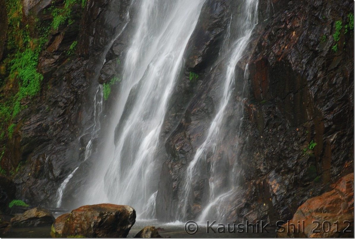
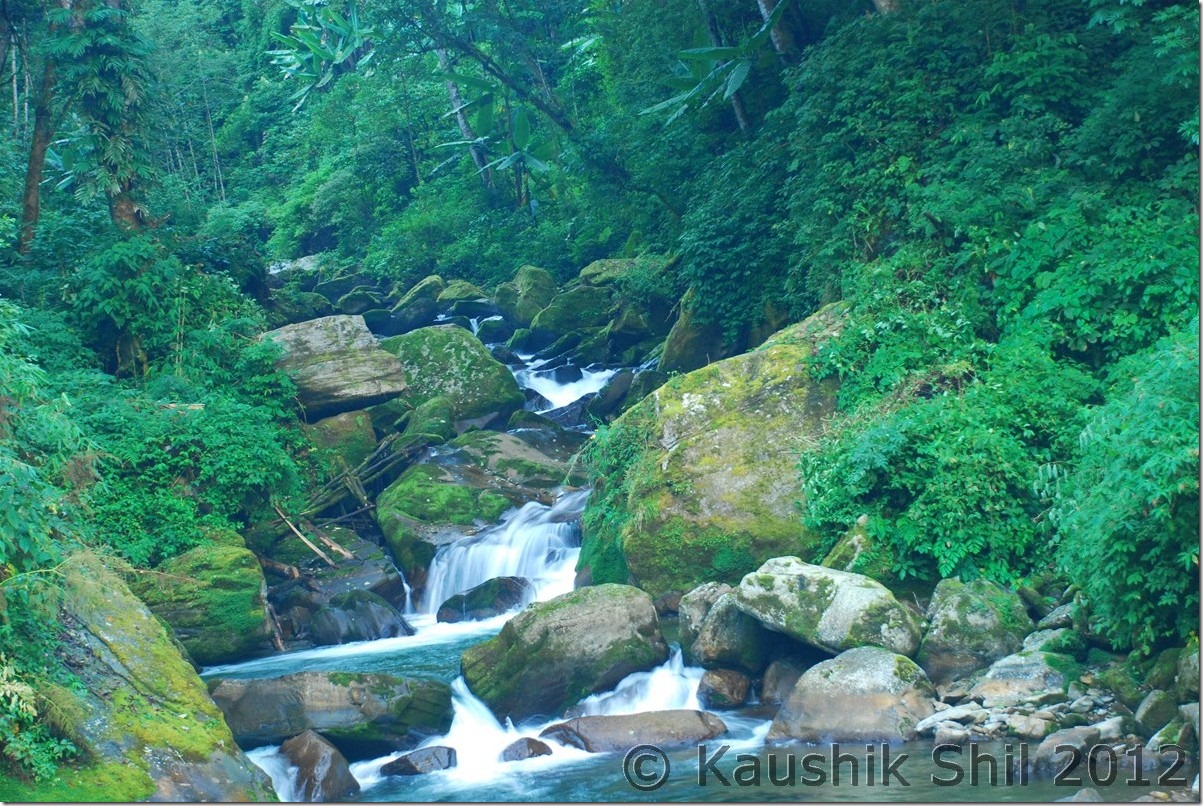
The waterfalls beyond Tato:

DSC_0488

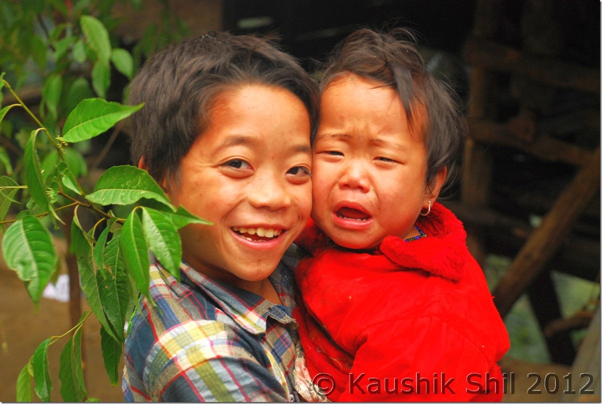
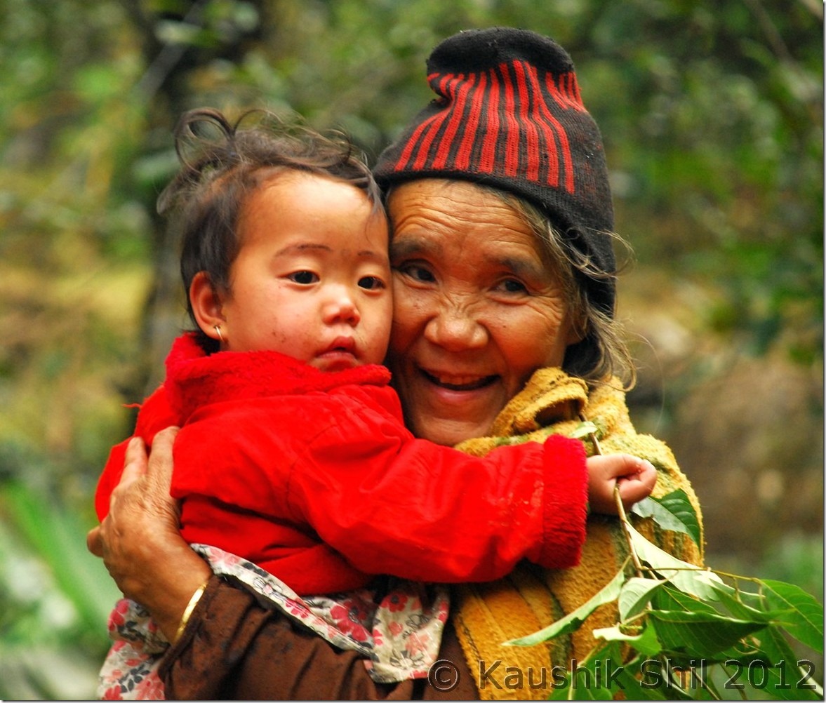
Adi Tribes:

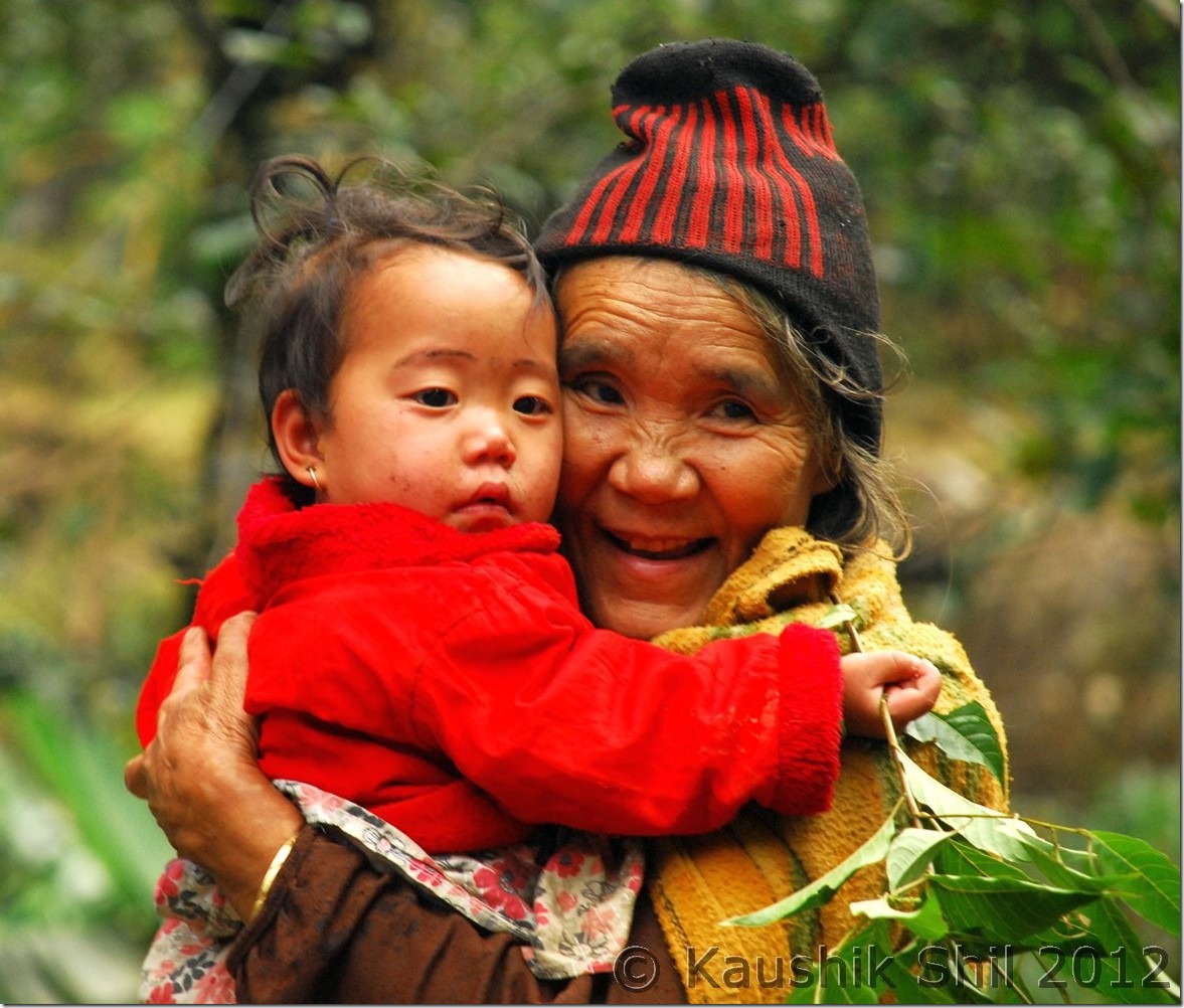
DSC_0495 DSC_0496

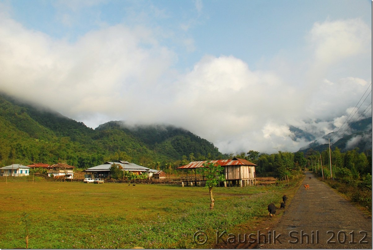
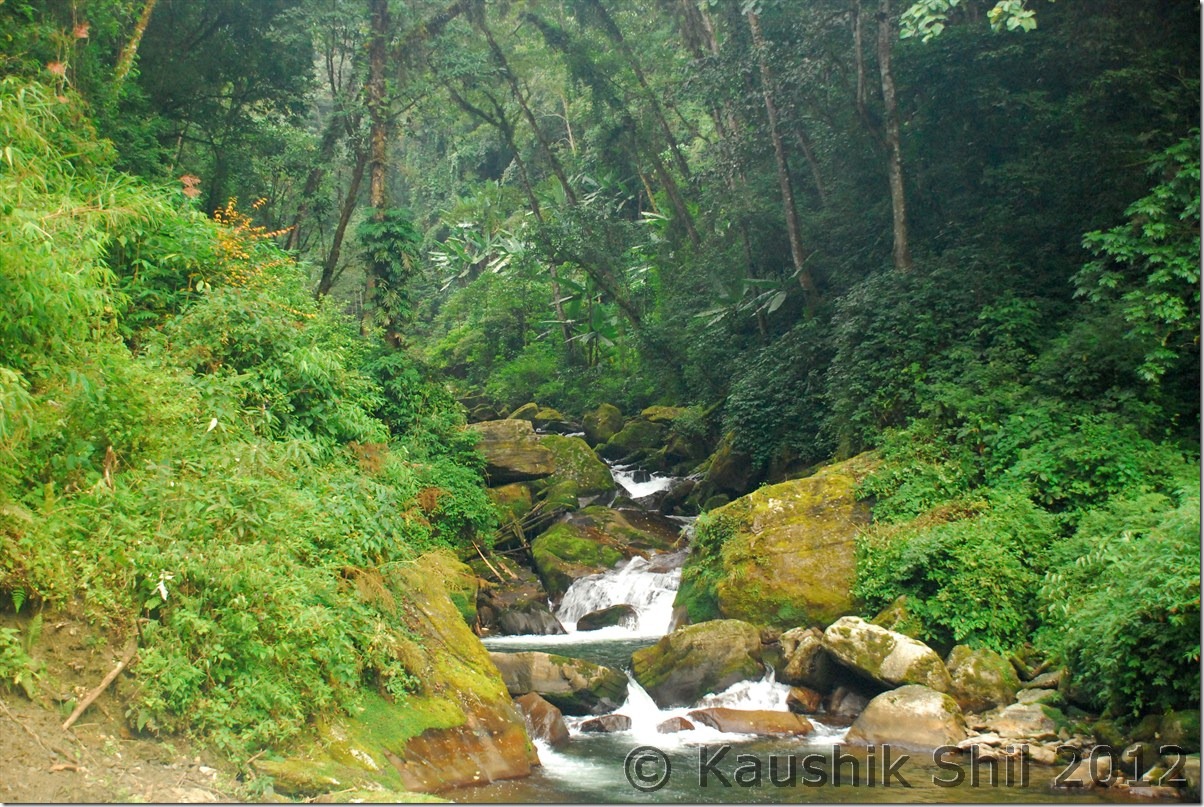
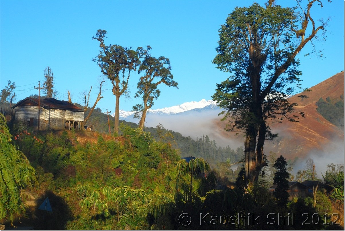
Lush green landscape: DSC_0506

Just entering Mechuka:

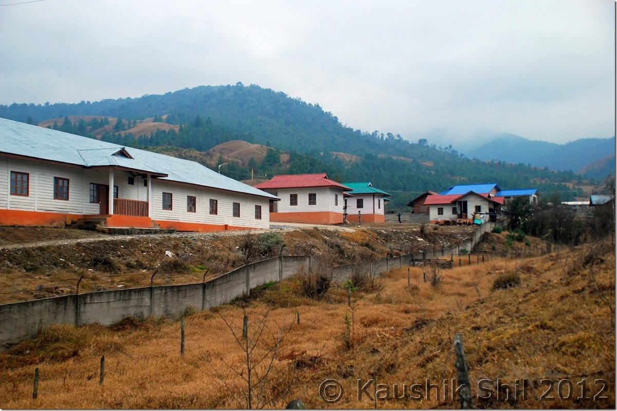
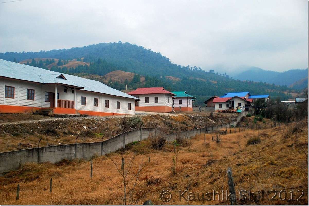
DSC_0510

Mechuka:

DSC_0512

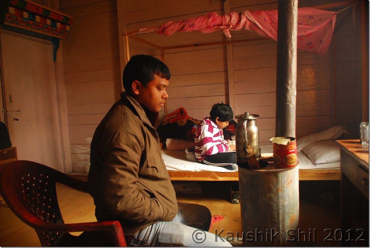
Mechuka IB – Ashim in our room:

DSC_0513

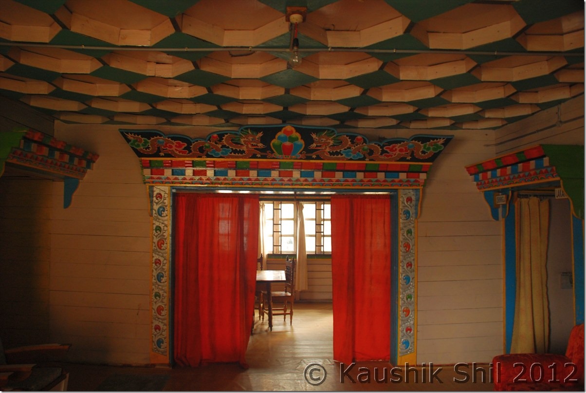
Mechuka IB – Inside

DSC_0515

Previous: Amazing Arunachal – Ziro and Daporijo
Next: Amazing Arunachal – Mechuka

Amazing Arunachal – Ziro and Daporijo
Day 10:

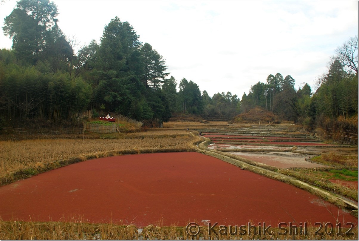
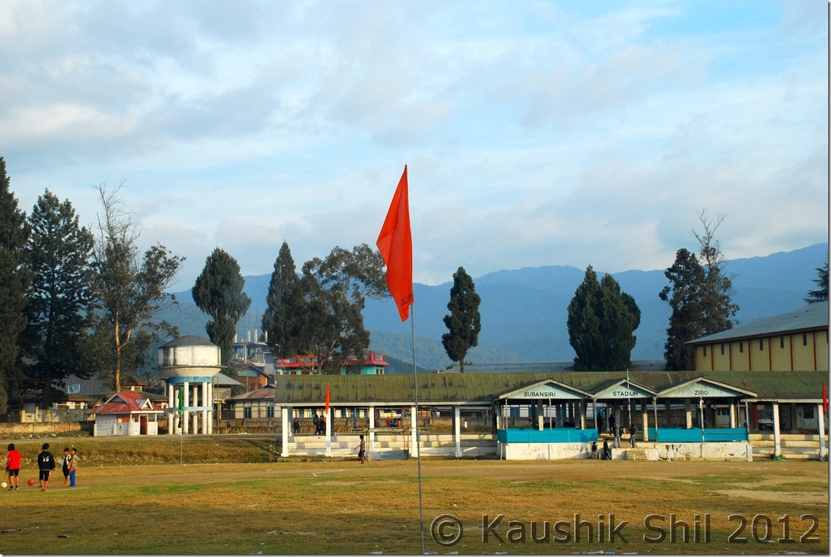
Airtel Edge works at Ziro/Hapoli, so after long time we could connect to internet and HVK informed us Romin and Megha were in Ziro on same day and we could meet easily. They were a lovely couple, had been roaming the North East from start of October 2012 and almost covered entire North East in their backpack trip. Thanks to HVK for sharing their number. We started around 9.00 in morning after having breakfast, this day was reserved for a rest day after a long drive from Nameri and we decided to roam around Ziro on that day. We met Romin and Megha at Ziro and then first proceeded towards Hong Village, the largest village of Apatani tribes in that area. It was a nice one to soak into their cultures, Romin and Megha was taking serious notes of the conversation we had with the locals and I was busy as usual with my clicking. We tried to walk around the village and it was pretty nice though looking little dull after the crop seasons were over. I could imagine this place would look best during Spring / monsoon. In March they usually have the Apatani festival and may be one of the best time to visit this place. Once we completed our excursion to Hong, we proceeded to Momipholong, another nice place around 7 km away from Hong. You would get a good view of the valley from top. Then while coming back to Ziro, we went to see the Shivling which was natural and excavated some 10 years back. It looked quite natural and old but then it was discovered just 10 years back. The best part is the height of Shivling was around 25 ft and you would find Devi Parvati and Ganesha also embedded in the stones. There is also a constant flow of water just below the Shivling. Somehow I enjoyed the place which I usually don’t do much while visiting a religious place, we came back to Ziro and wished Megha and Romin best of luck for rest of their journey, had a very late lunch with just Maggi and went back to the Circuit House. It was amazing to see the evening approaching on the Hapoli from the Circuit House. We were about to go for another long journey tomorrow towards Daporijo, the heartland of Tagin Tribes.

Trek in Hong Village:

DSC_0347 DSC_0350

Apatani man:

DSC_0351

Hong, the largest Apatani Village:

DSC_0353

Momipholong:

DSC_0361

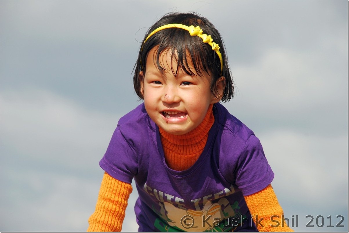
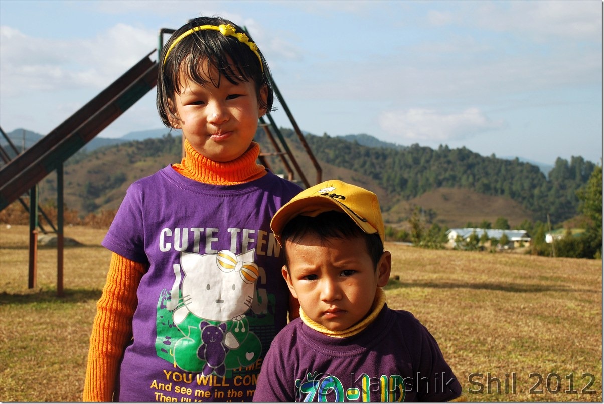
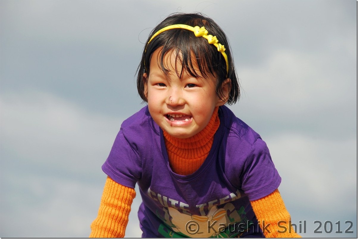
Cute Apatani Girl:

DSC_0369 DSC_0371

So many colors:

DSC_0375

Ziro Stadium:

DSC_0385

Ziro Circuit House:

DSC_0390

Day 11:

Ziro to Daporijo would be around 175km and we knew a long drive waiting for us. So woke up and quickly got our breakfast to start our journey by 8.00 in the morning. This is first time we have got the feel of typical Arunachal ambience, hills surrounded by dense forests and the serpentine road crossed through the deep green valleys with sun, clouds, mists playing around. Initially the day was sunny but more we proceeded, the sky started turning grey with clouds. In road side you would find locals selling fruits like Oranges. So cheap and so sweet the oranges were, just one costs a Rupee. We kept going at our own pace with some photographic breaks and a few tea breaks. The shared Sumo plying between Ziro and Daporijo were the only vehicles we encountered from opposite direction, otherwise it was a journey through the lonely road with mother nature all around.
The Driving Distances for the day:

479 – Start from Hapoli
538 – Tamen
558 – Raga
582 – Saddle
603 – Laa
655 – Daporijo.

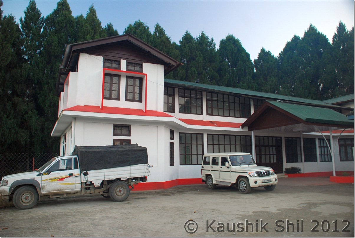
Just before entering Daporijo, we could see the town just beside the Subansiri river, was looking so nice in the setting sun. This is a town in Arunachal which is not that welcoming in nature and you might have a hard time to find anything decent to stay here unless you book circuit houses in Daporijo or further 20km down to Damporijo. We booked the Daporijo Circuit house and even confirmed it from Ziro but by the time we reached there, the DC office was closed and the chowkidar declined us any accommodation citing that our name was not sent from DC Office as Guest. The trouble broke out, getting a phone be landline or mobile is extremely tough in this part of Arunachal, I started trying to contact the person in DC office with whom I spoken, fortunately I had his mobile number. He spoke to Chowkidar and confirmed the booking was sent from Office but Chowkider was insisting he couldn’t help unless he gets written permission. This is a major problem in Central and Eastern Arunachal where infrastructure is not yet ready and you have to depend on Govt CH / GH and availability of those accommodation would always be doubtful until you could finally check-in there. Anyway finally the Chowkidar found our names, he explained the paper gone below the stack as our name was sent quite early than usual. What a relief!!
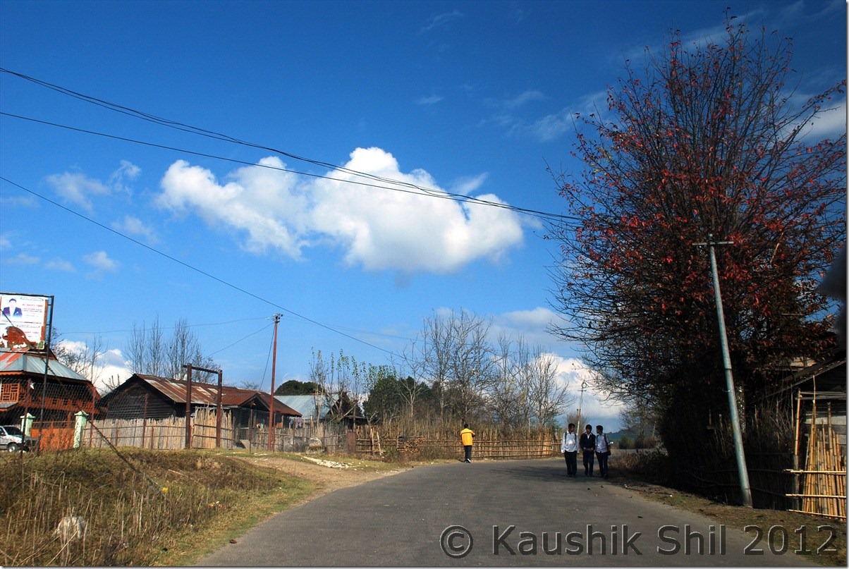
The rooms were Ok and certainly the best possible accommodation in Daporijo. The cook prepared our dinner but we never saw the Chowkidar again as he was drunk completely by 7 in evening and was in his room only. We paid everything to cook and got receipts and signed the guest book as we understood we won’t be able to catch hold of the Chowkidar in early morning as we had to go for another 180km to Along on next day. We slept properly but this is the only place in whole Arunachal trip where we couldn’t arrange any accommodation for Ashim, finally he had to sleep in conference room sofa as that was a cold night and was raining almost through out the night.

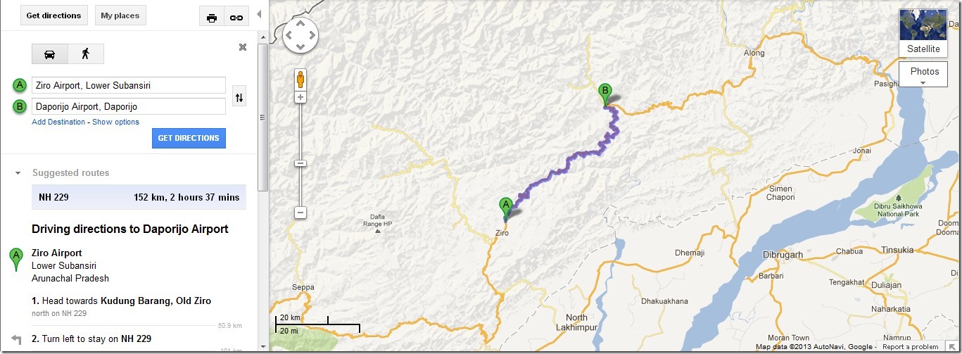
Today’s Journey Map – Ziro to Daporijo
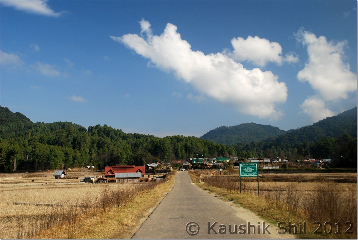
Ziro_Daporijo
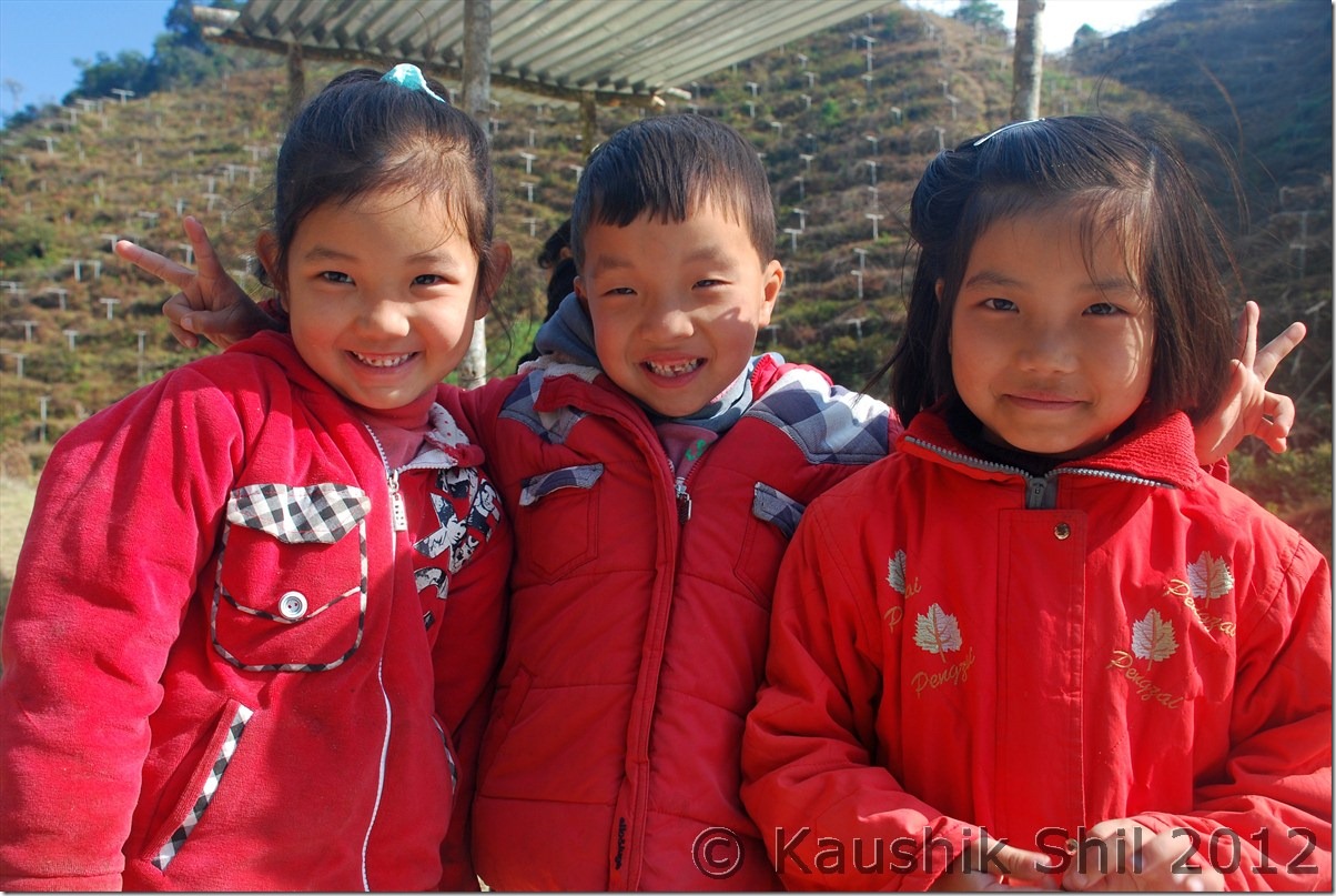
Road from Ziro towards Daporijo:

DSC_0393 DSC_0400

Cute and Pretty Faces:

DSC_0401

The winding road goes on:

DSC_0406

Daporijo, the first look:

DSC_0416

Daporijo Circuit House:
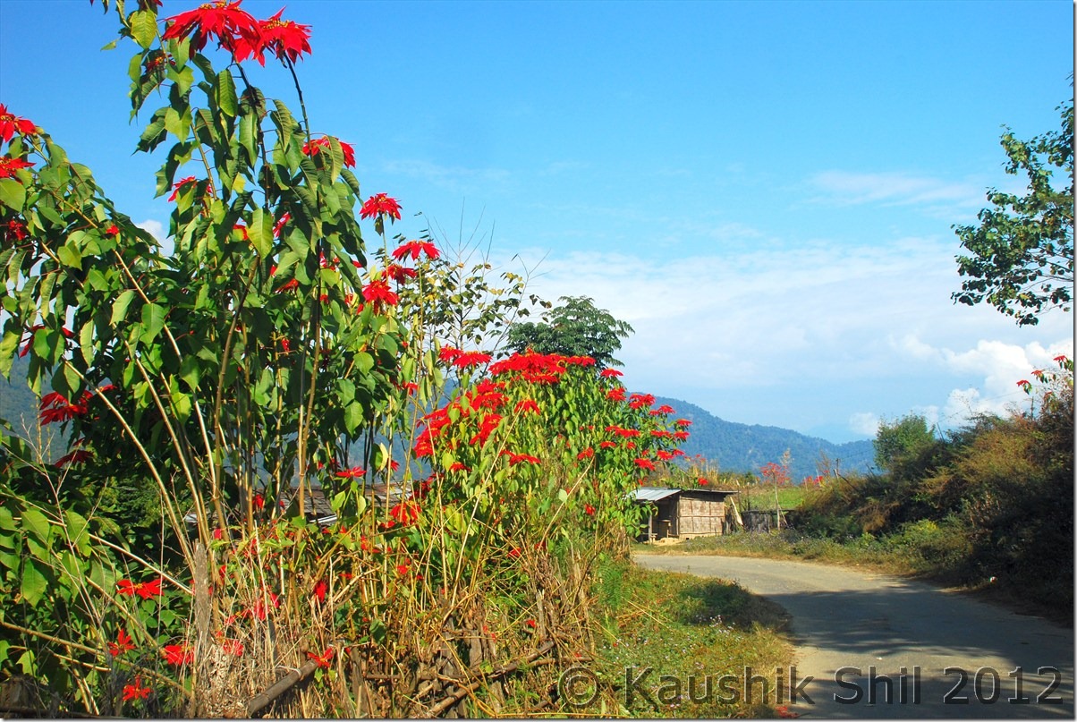
DSC_0420

Previous: Amazing Arunachal – Nameri National Park and way to Ziro

Next: Amazing Arunachal – Way to Along and Mechuka

Amazing Arunachal – Tawang, Ziro, Along, Mechuka, Tuting : Introduction

When I last visited Arunachal, 2 years back I fell in love with the state, the awesome landscape starting from rainforests of eastern part to alpine meadows of western part meeting mighty Himalayas, the high mountains all around, deep gorges carving its way with blue waters gushing in, you can clearly see and feel the rapids from top. Waterfalls in almost every bend, in one turn its vast blue sky and in next turn in completely filled up with fog and mist. Arunachal will surprise you in every moment, the other aspect is the diversified culture, it’s completely a tribal state and there are 101 recognized tribes in Arunachal and mostly believe in different religions like Donyi Polo (Sun and Moon), Hinduism, Christianity etc. The state has borders with 3 foreign countries, Bhutan in west, Tibet (Now People Republic of China) in North and Myanmar in East. Tourism is not developed except the western part of Tawang sector, which was developed by late Mr. Dorje Khandu, the former chief minister of Arunachal who belonged to Tawang. The state buses sparsely run through the main towns but still Shared Sumo service is the most common mode of transport for locals, in almost all districts you would still find 30% villages not having any road connectivity and still depend on long trek to meet their daily needs. Actually northern part of Arunachal was more closely connected with Tibet through 4/5 different passes until British drew McMahan line in 1913 as per Shimla Accord with Tibet. The usual business with Tibet had been going on until China disregarded the McMahan line and attacked India in 1962 in both Ladakh and Arunachal sector. Since then all the passes were closed and the whole border with China/Tibet was closed and people were forced to walk 3/4 days through treacherous mountains and dense forests to come down to Indian plains to start their new lives. When we visited places like Gelling, merely a km from McMahan line, the elders were telling us the sad stories how they suddenly got partitioned from their near and dear ones living just couple of km across other side of border since 1962. The state is covered by mountains from west to east and deep river gorges from North to South including Kameng, Subansiri, Siyom, Siang, Dibang and Lohit that created mighty Brahmaputra river system. So traveling the state is extremely difficult from west to east as there is a lack of trans-Arunachal highway which is presently being built with the aid from Central Govt. Every time you have to come down 300 km to Assam and then again have to go up another 300km to reach another spot. So you need at least 45 days just for a touch and go trip to visit the prominent areas of state. So better if you could make multiple visits. Last time we covered Eastern Parts covering Lower and Upper Dibang Valley, Lohit, Anjaw and Changlang districts, this time we covered western and part of central covering, West Kameng, Tawang, Lower Subansiri, Upper Subansiri, West Siang, East Siang and Upper Siang.

The 5 major ancient trade points between Tibet and Arunachal was through Kenzamane (Zemithang), Bumla (Tawang), Kapangla Pass (Gelling), Lolla Pass (Mechuka), Dumla Pass (Monigong) and Kibithu. Except Bumla (where civilians are allowed with passes from DC and Army) all the other borders are closed for civilians. Our main intention was to travel as close as possible to these points to trace the historical McMahan line. We covered Kibithu in last trip, so tried to touch upon the rest of the points.

Our itinerary was like this:

Day1 – Kolkata – Guwahati Flight and drive to Nameri
Day2 – Nameri – Bhalukpong – Bomdila
Day3 – Bomdila – Dirang – Tawang
Day4 – Tawang – Zemithang – Tawang
Day5 – Tawang PTso – Sengetsar Lake – Bumla – Tawang
Day6 – Tawang – Sela Pass – Dirang
Day7 – Dirang – Bhalukpong – Nameri
Day8 – Exploring Nameri National Park
Day9 – Nameri – Balipara – Kimin – Ziro
Day10- Around Ziro
Day11- Ziro – Daporijo
Day12- Daporijo – Along
Day13- Along – Tato – Mechuka
Day14- Mechuka
Day15- Mechuka – Tato – Along
Day16- Along – Pangin – Jengging
Day17- Jengging – Tuting
Day18- Tuting – Gelling – Tuting
Day19- Tuting – Jengging
Day20- Jengging – Along
Day21- Along – Shilapathar – Bogibil (By Ferry crossing Brahmaputra)- Dibrugarh – Tinsukia
Day22- Tinsukia – Dibrugarh – Flight to Kolkata

Enough of Texts and now a few snaps to share some highlights of the trip:

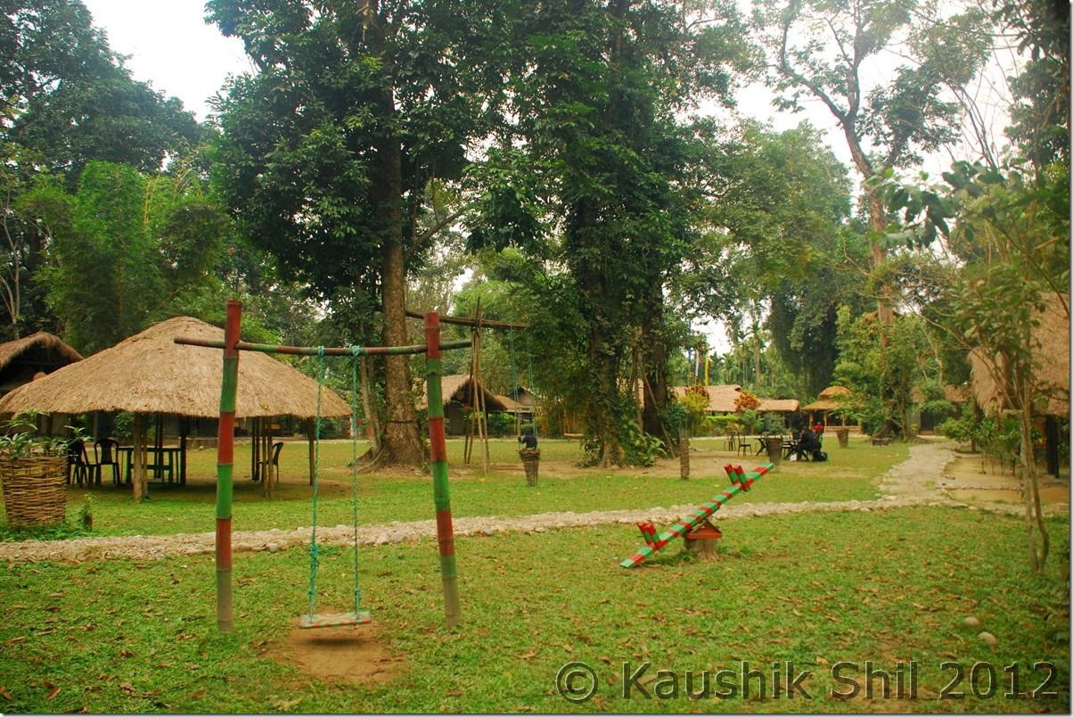
Nameri Eco Resort:

DSC_0001

Bhalukpong in the side of Jiabharali (Kameng River):

DSC_0012

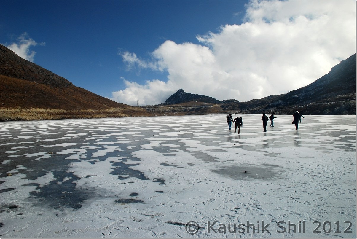
Semi Frozen Sela Lake at Sela Pass:

DSC_0085

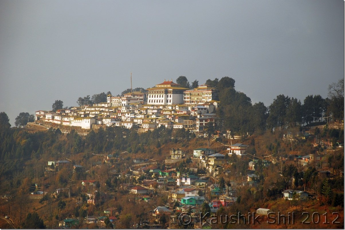
Tawang Monastery:

DSC_0089

Magical Zemithang:

DSC_0135

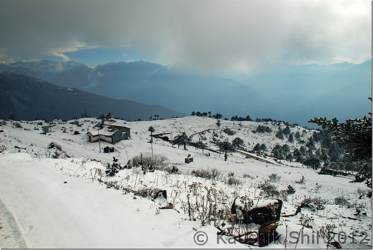
Snowed Out Tawang:

DSC_0171

Snow in backdrop of Fall Colors:

DSC_0181

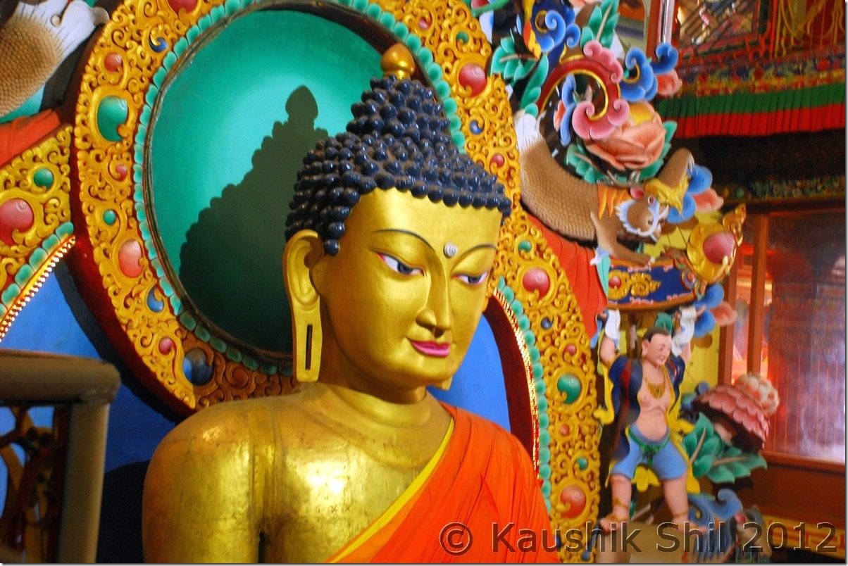
Inside Tawang Monastery:

DSC_0227

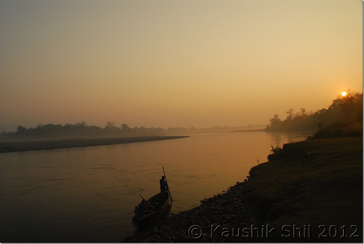
Sunrise in Nameri:

DSC_0265

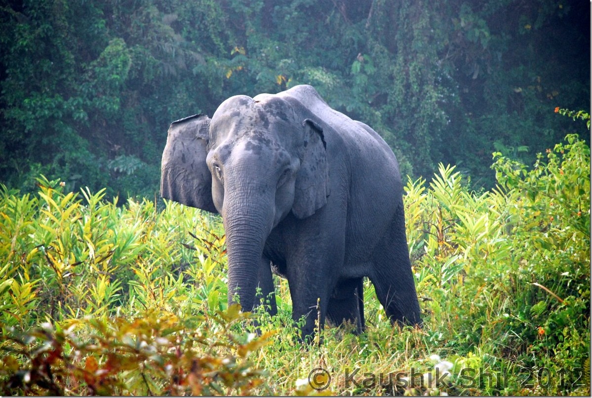
Elephant Nameri National Park:

DSC_0275

What a Geometry:

DSC_0284

Ziro:

DSC_0350

Apatani Girl:

DSC_0369

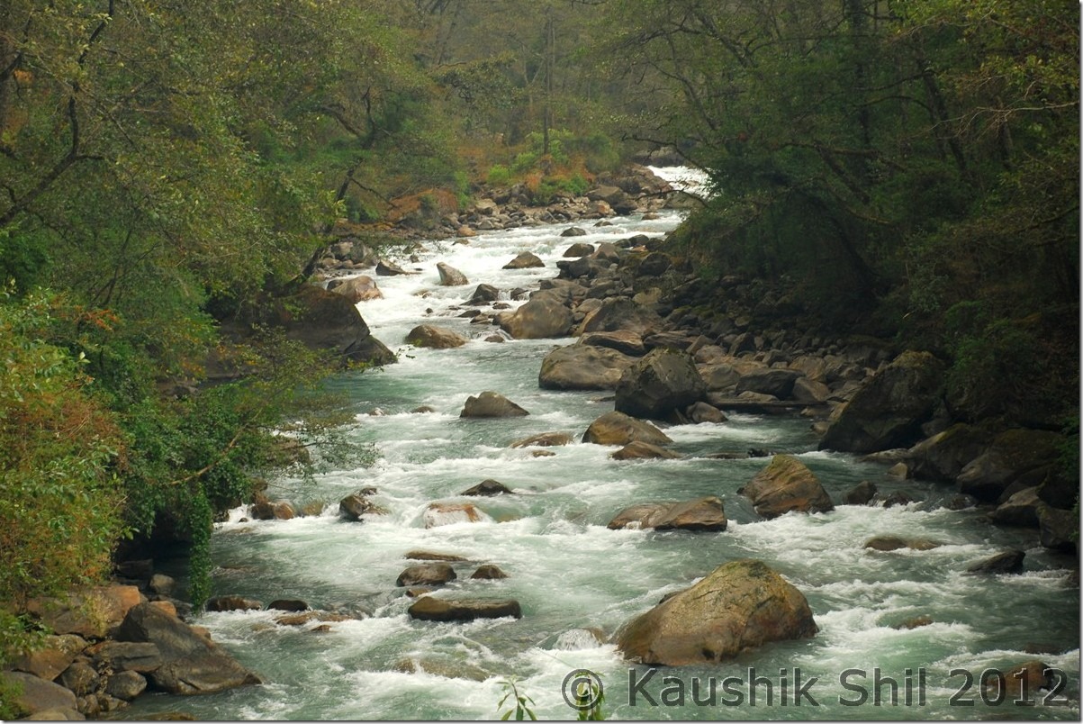
Subansiri River:

DSC_0421

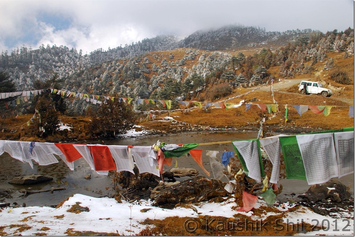
Wayside Water Falls towards Mechuka

DSC_0488

Adi Tribes:

DSC_0496

Mechuka in evening

DSC_0512

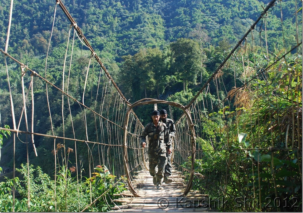
The Hanging Bridge at Mechuka, Signature of Arunachal:

DSC_0556

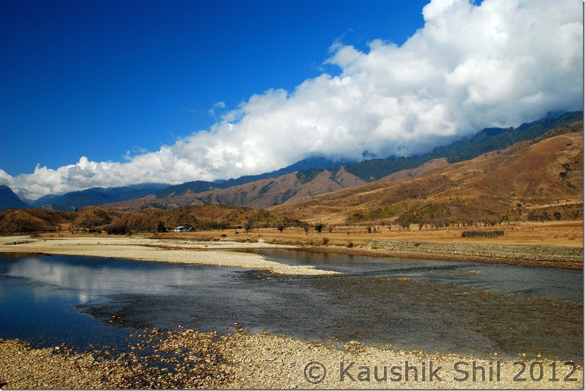
River Si (Yargap Chu):

DSC_0559

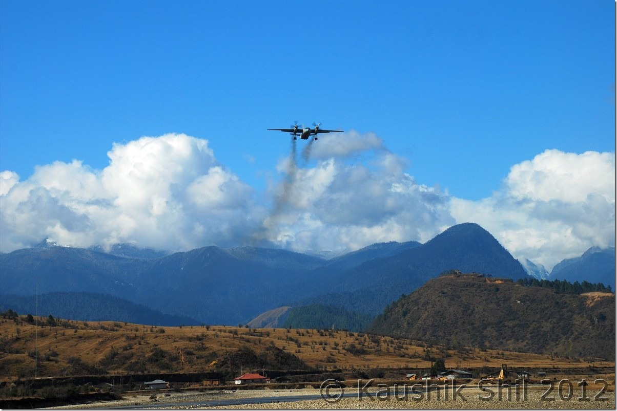
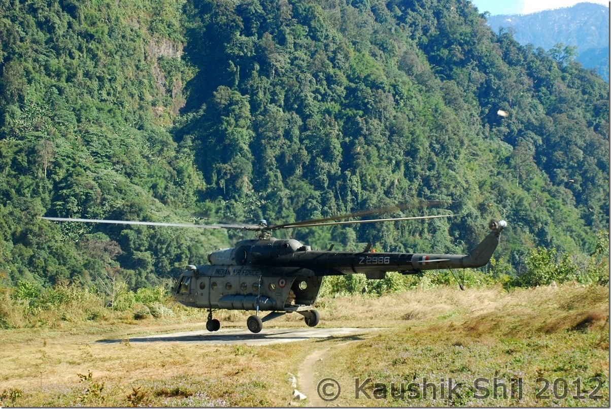
Indian Air Force is landing at Advanced Landing Ground Mechuka:

DSC_0583

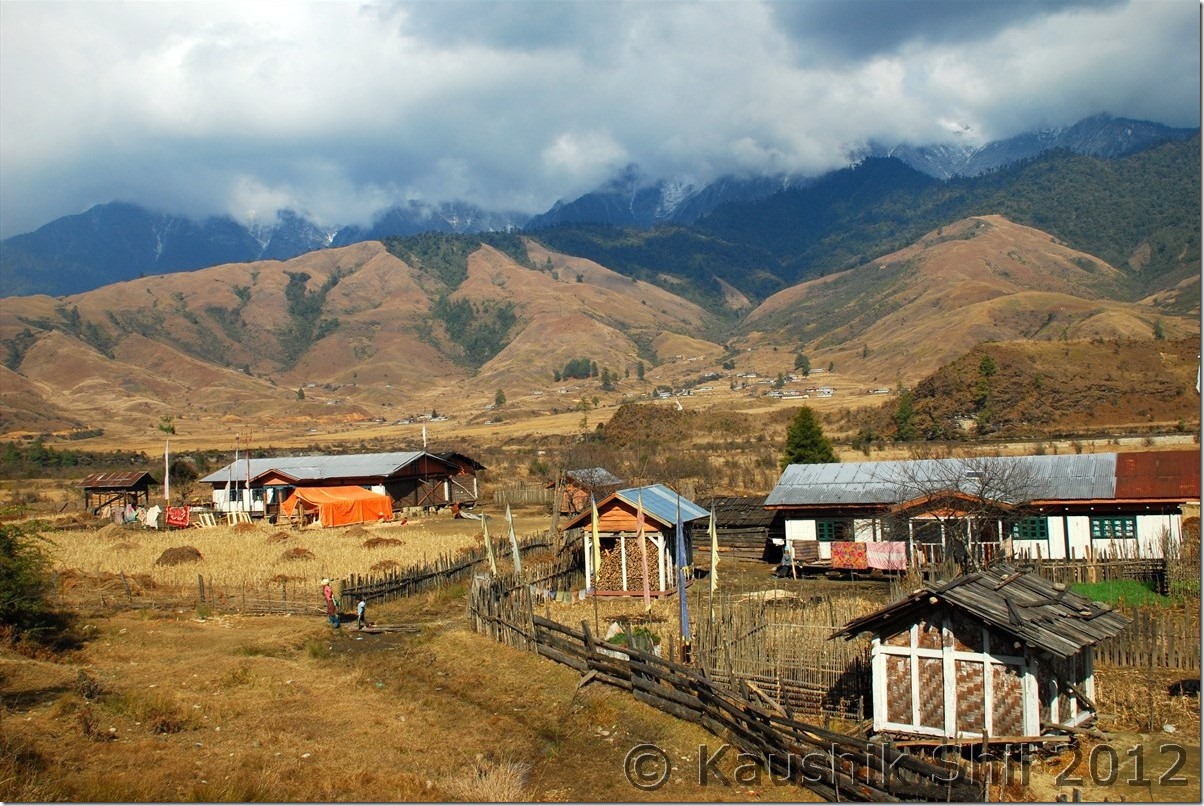
Mechuka:

DSC_0602

Mechuka at evening:

DSC_0637

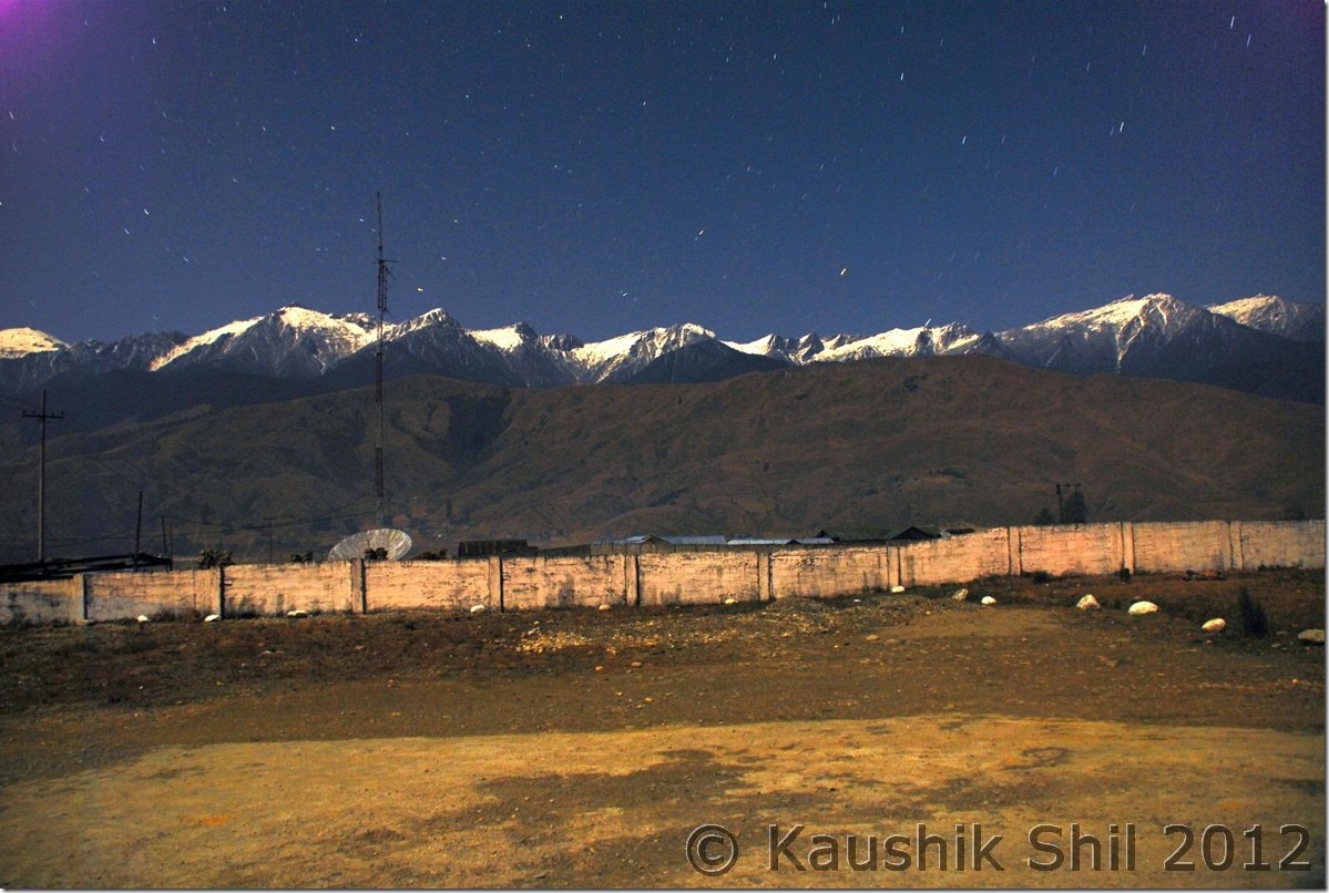
Moonlit Mechuka:

DSC_0644

Mystic Mechuka Valley:

DSC_0650

Gorgeous Serenity:

DSC_0657

Lovely colors:

DSC_0664

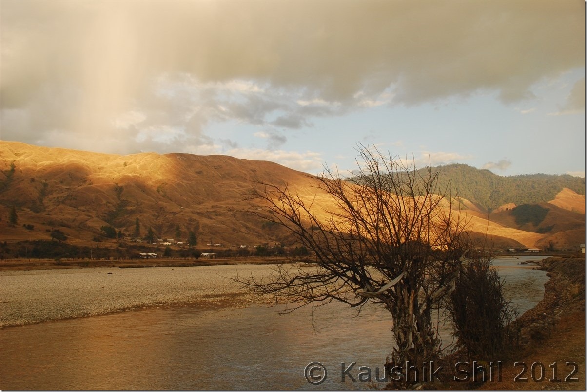
Siyom River:

DSC_0685

Morning Mist on Siang Gorge:

DSC_0736

Mighty Siang:

DSC_0749

Tuting Inspection Bungalow:

DSC_0780

Indian Army at LAC near Gelling:

DSC_0793

Chopper drops the ration at Gelling:

DSC_0812

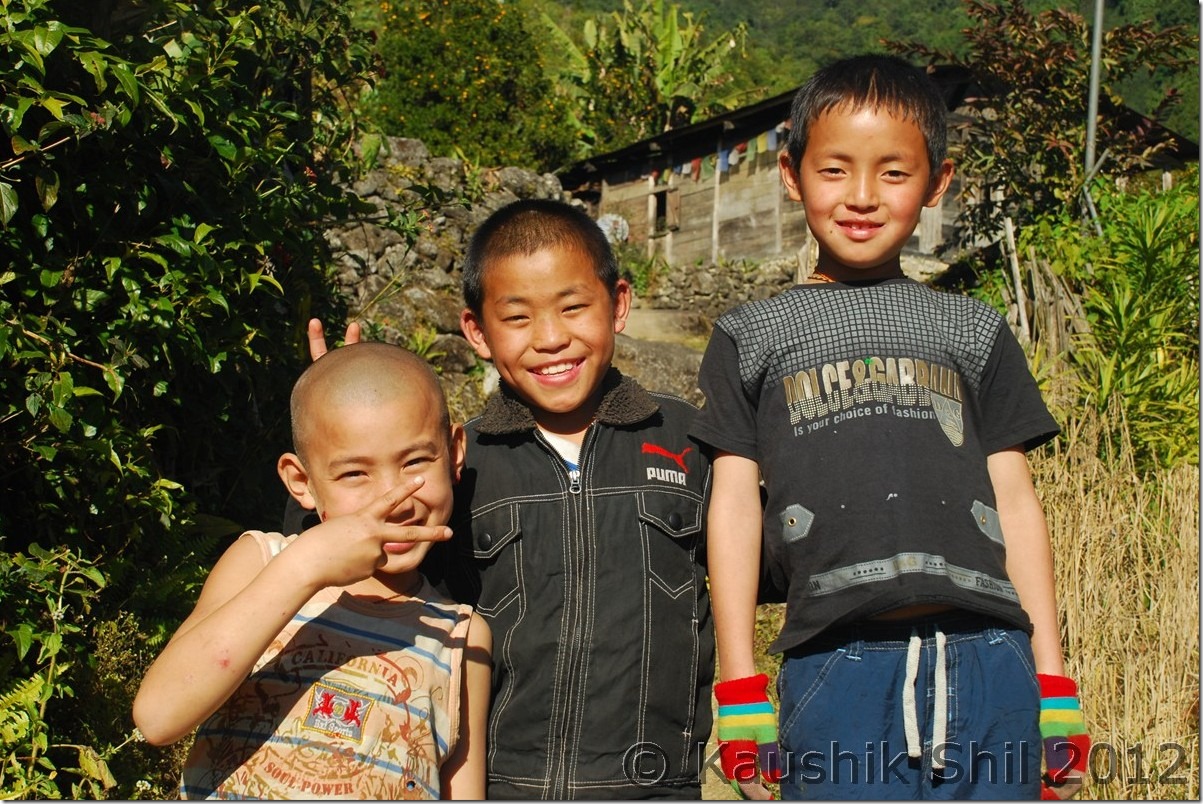
Memba Boys:

DSC_0836

Gelling, the gorgeous Village:

DSC_0839

The green mountain in back is the dividing line between India and Tibet (China) – McMahan Line:

DSC_0854

The Cute Lama:

DSC_0863

Majestic Upper Siang:

DSC_0901

Galo Girls:

DSC_0948

Next: Amazing Arunachal – Nameri National Park and on the way to Tawang