Ladakh – Exploring Padum, Karsha, Strongde and Bardan Monastery and Back to Sankoo

25th September:

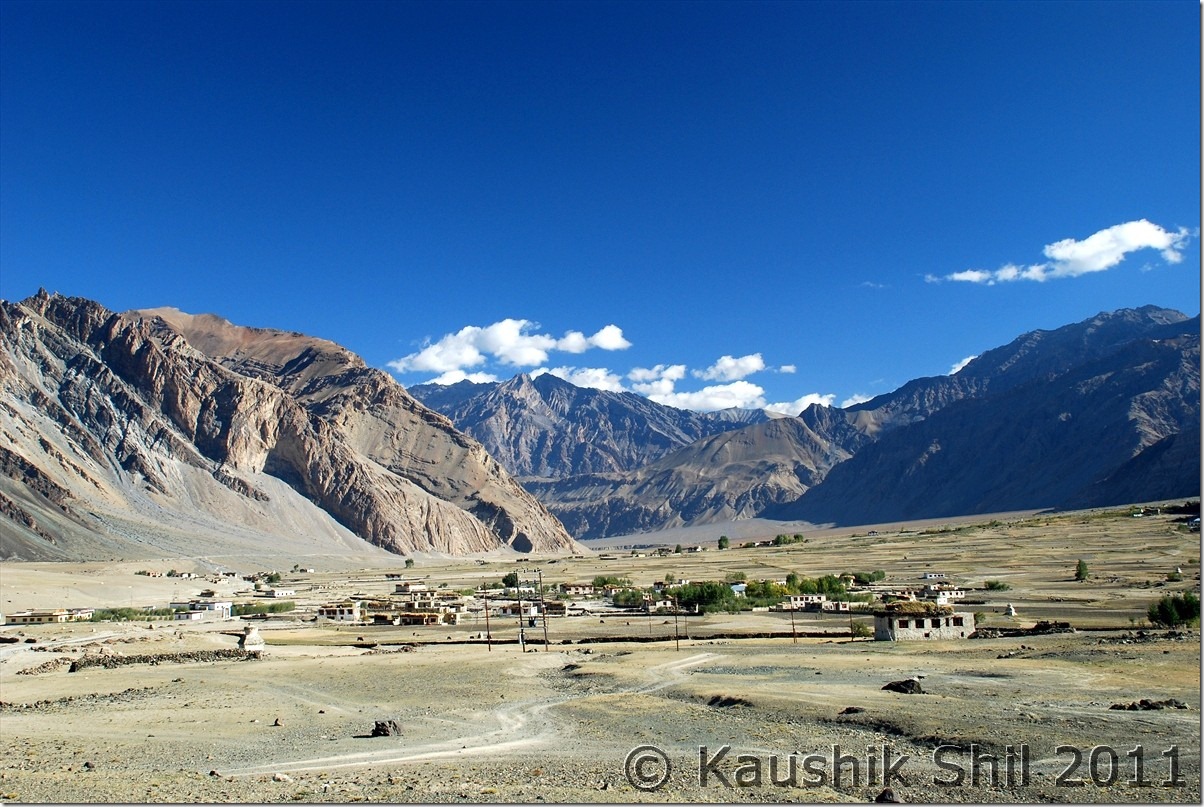
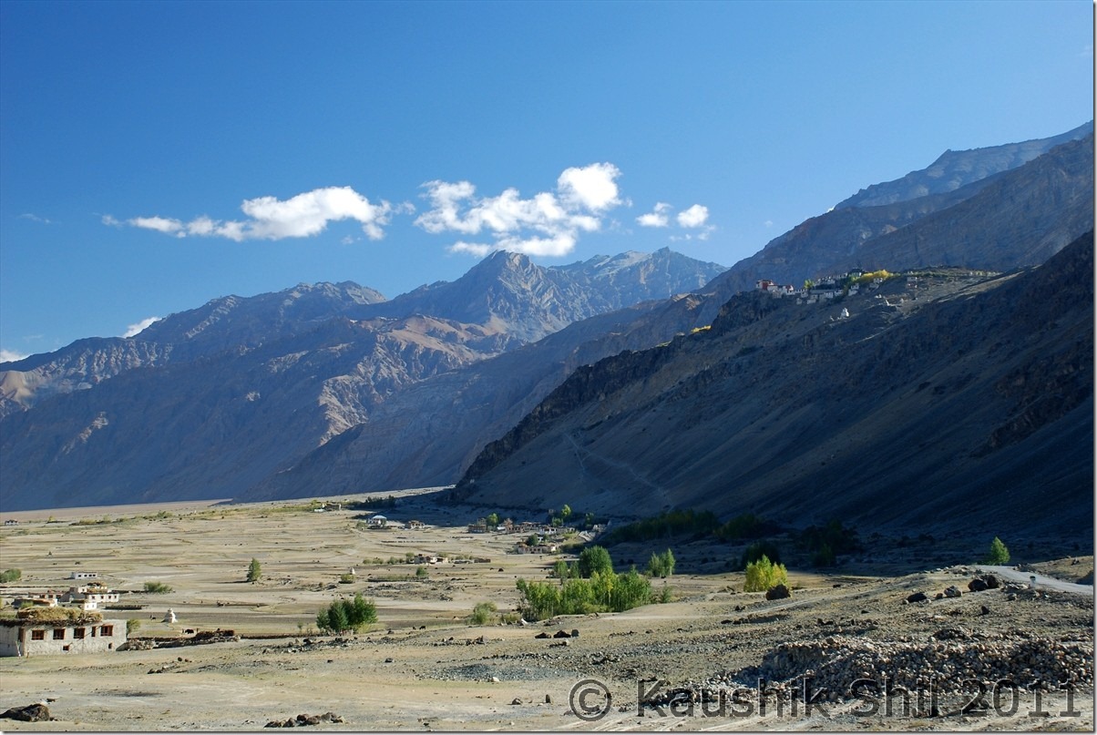
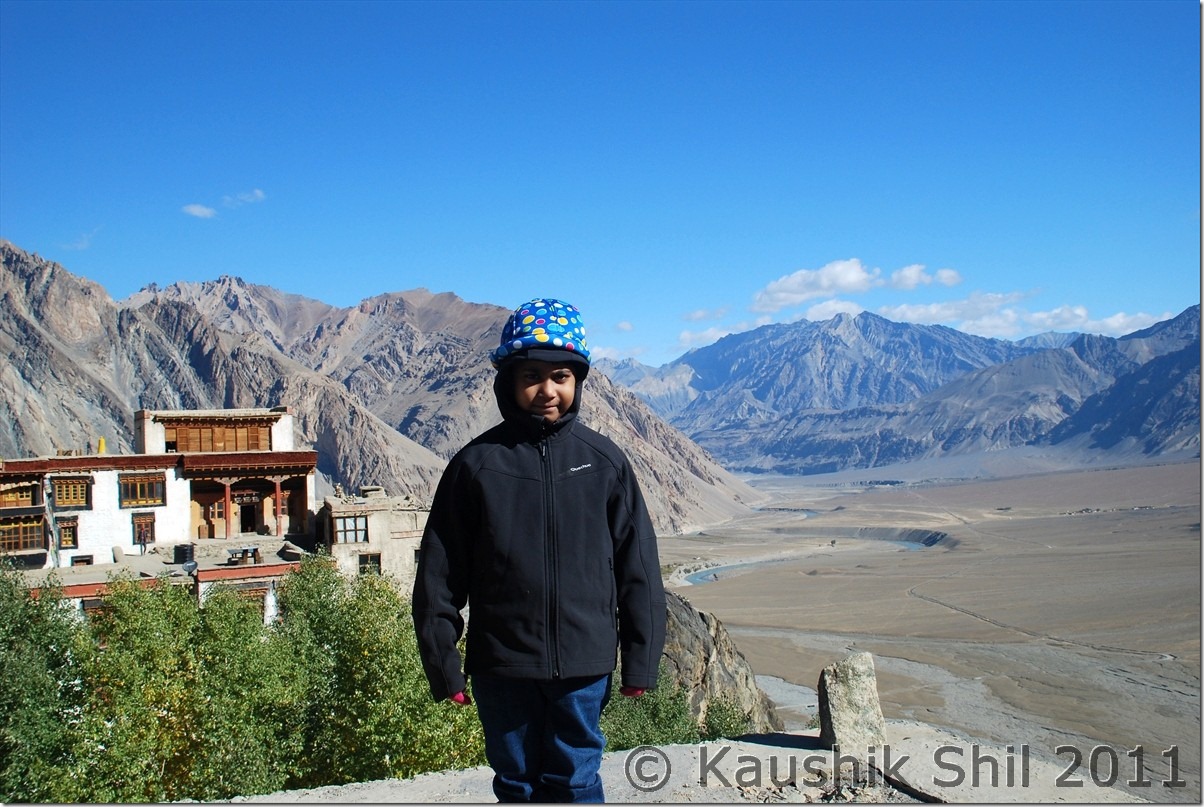
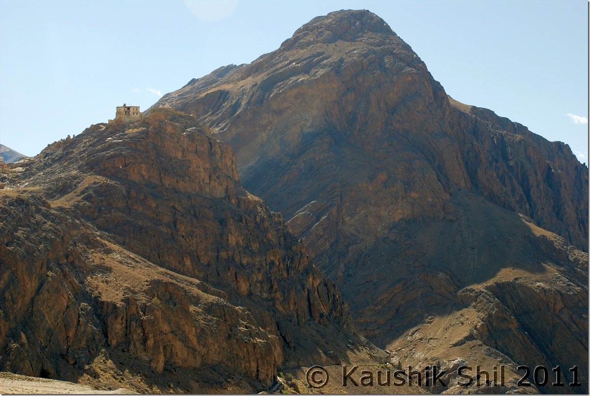
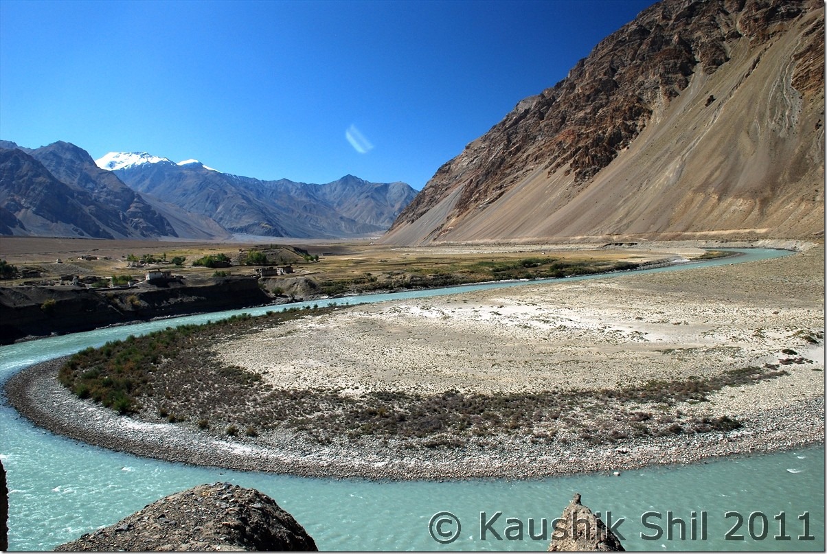
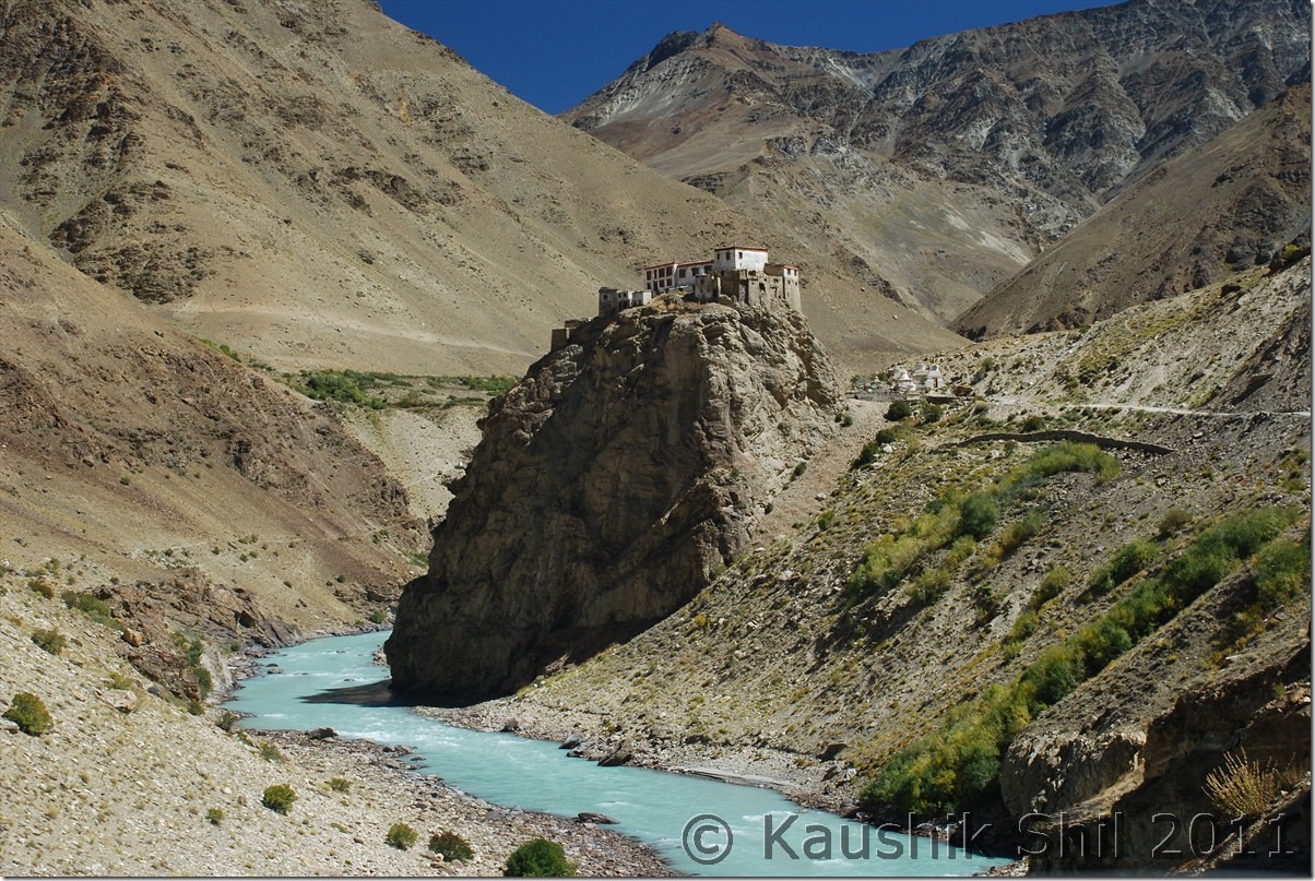
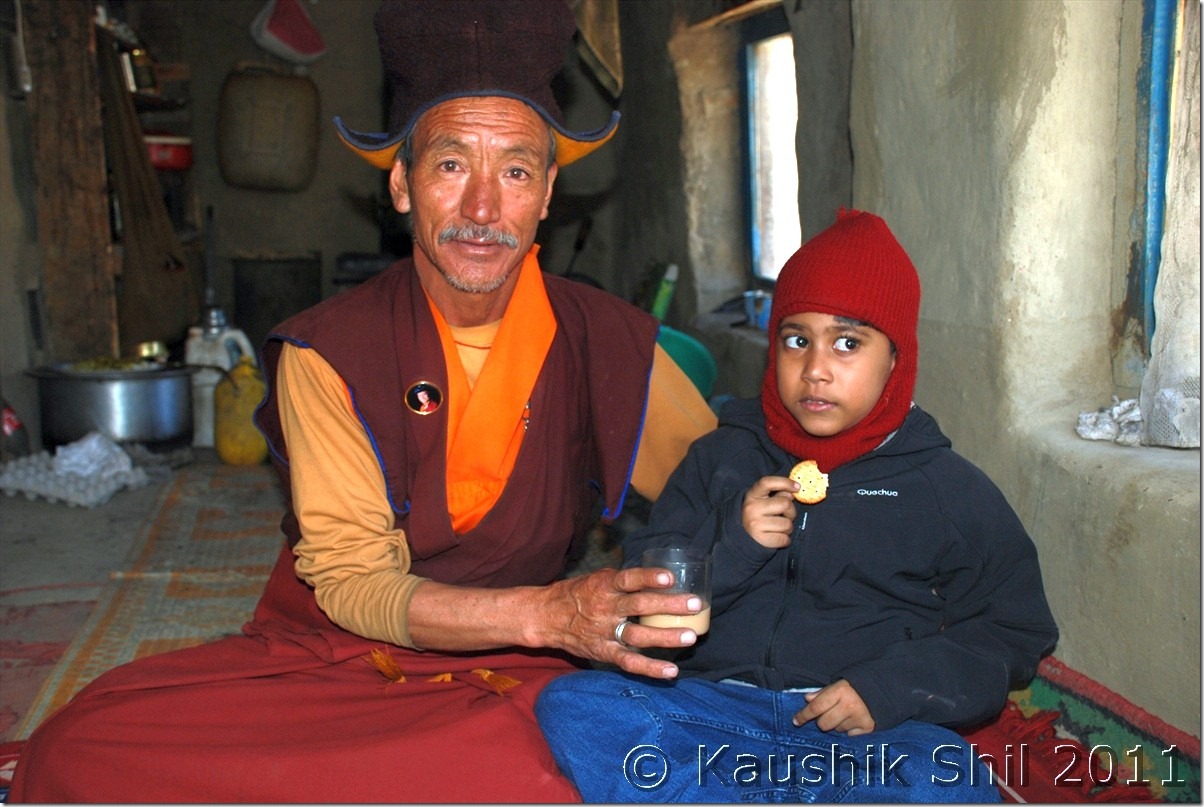
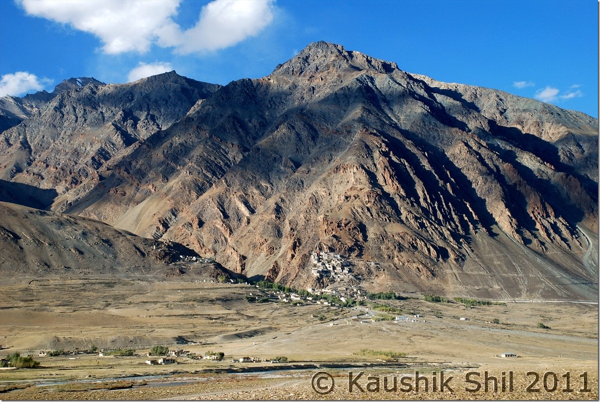
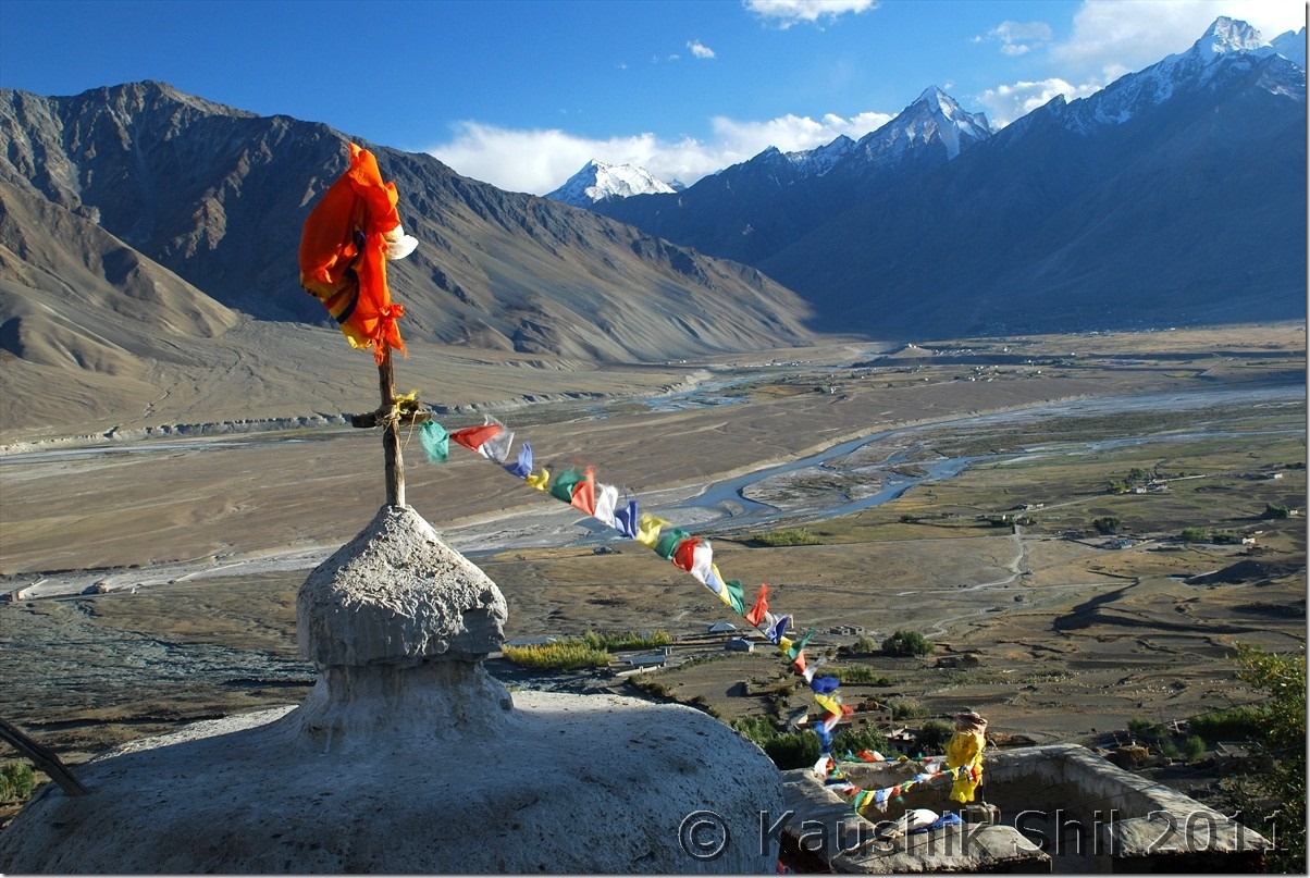
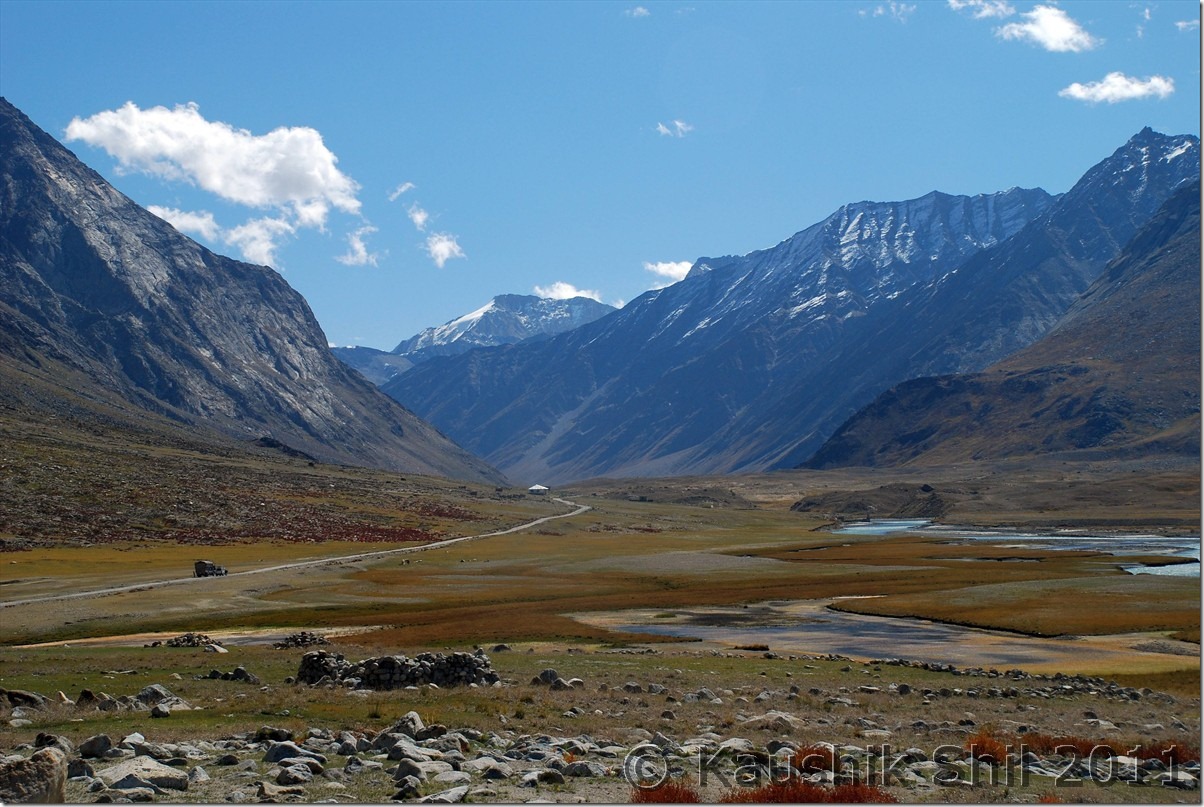
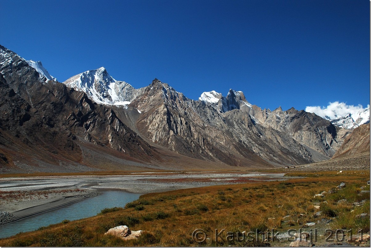
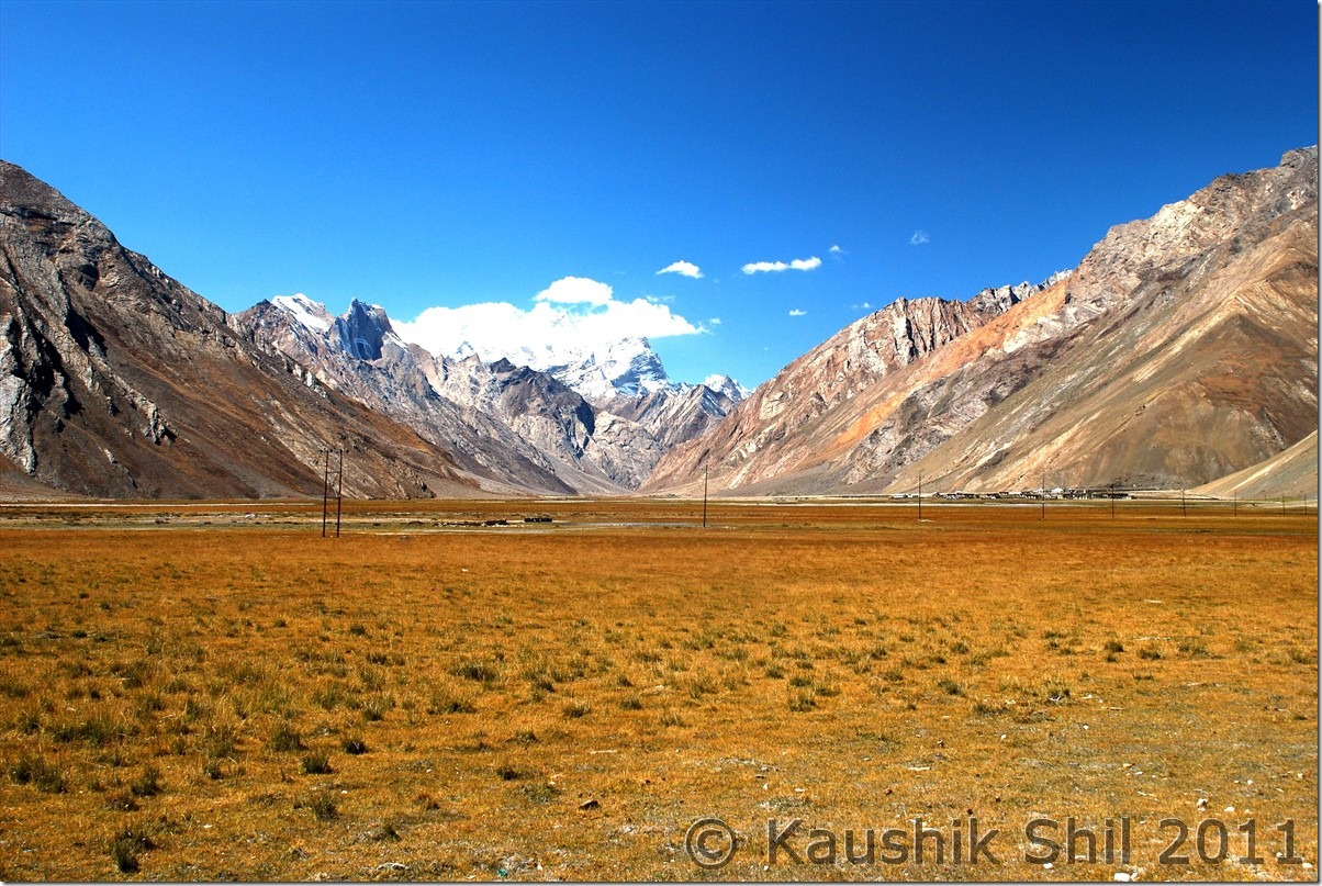
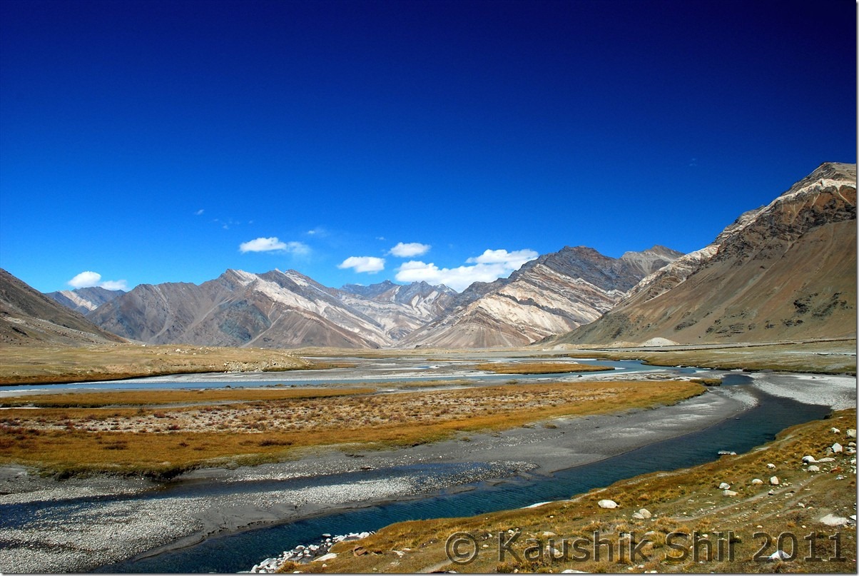
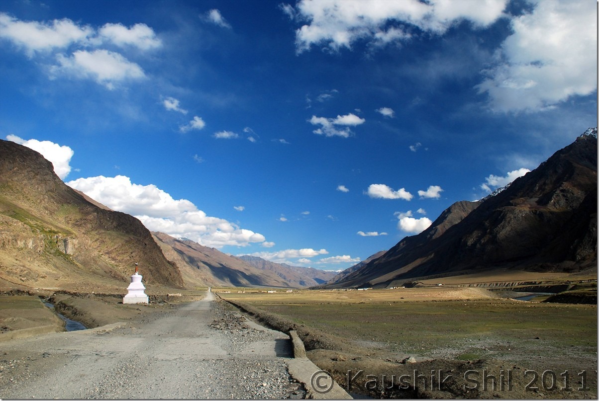
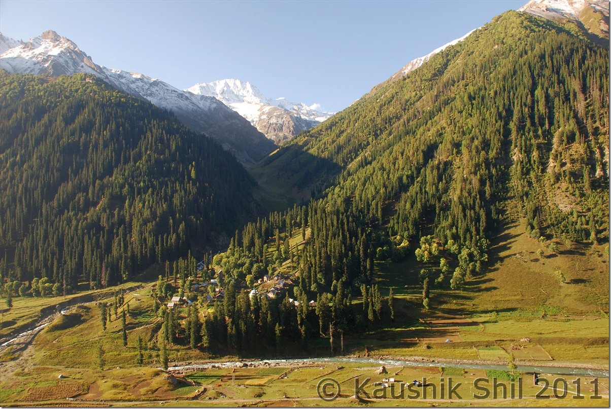
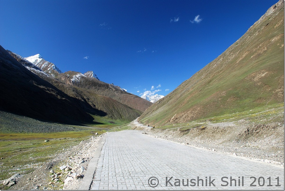
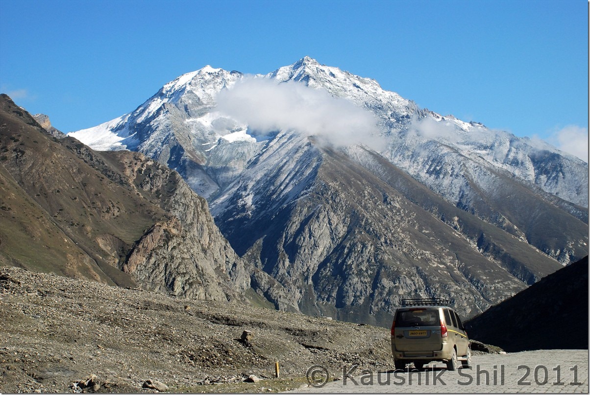
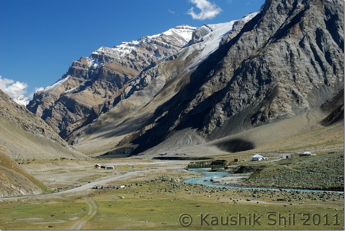
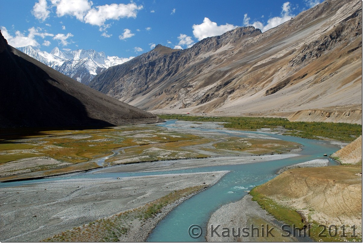
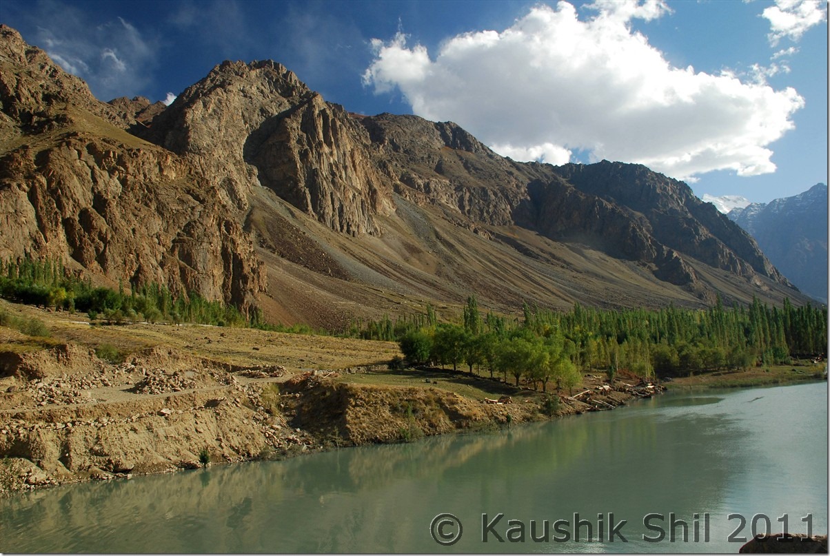
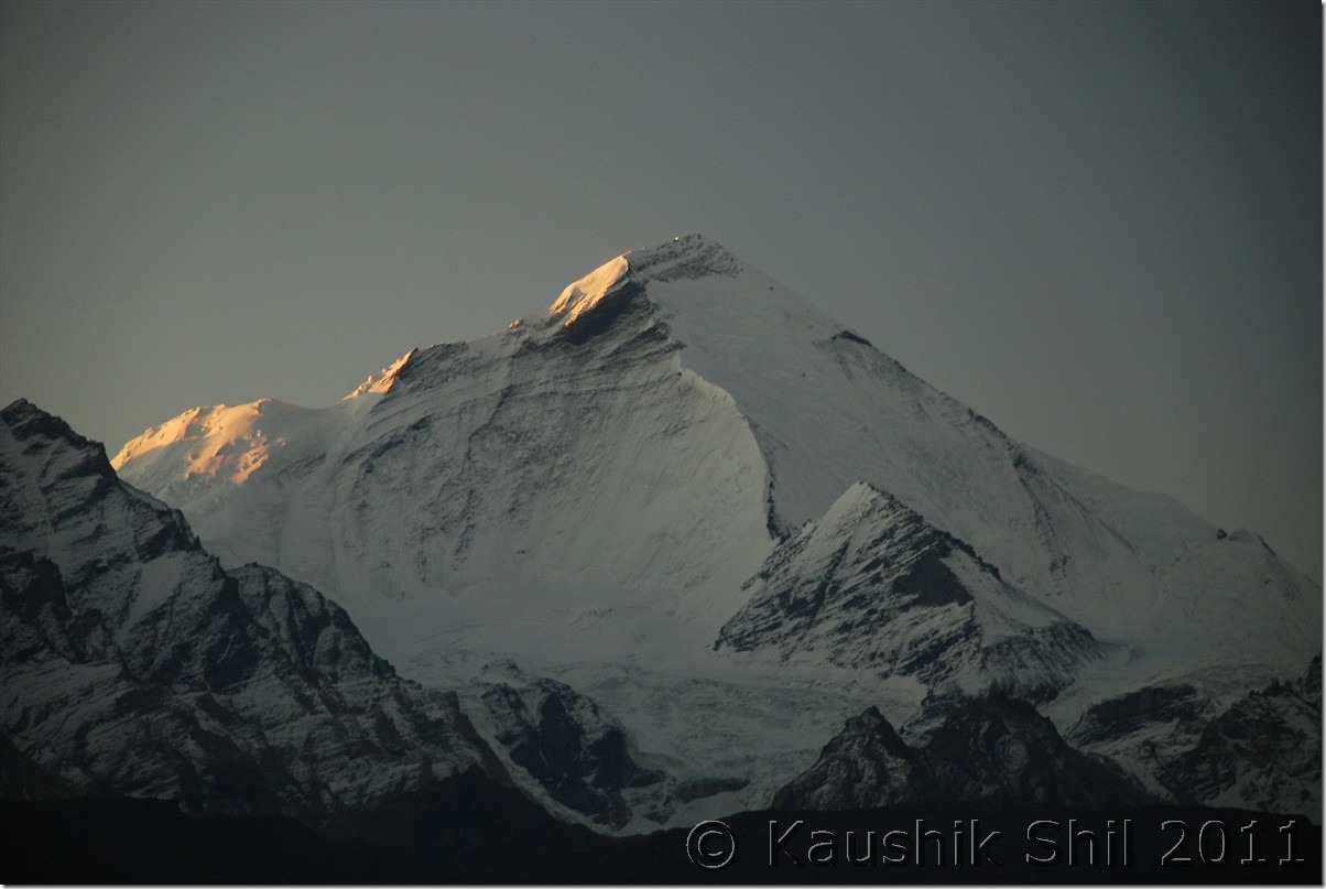
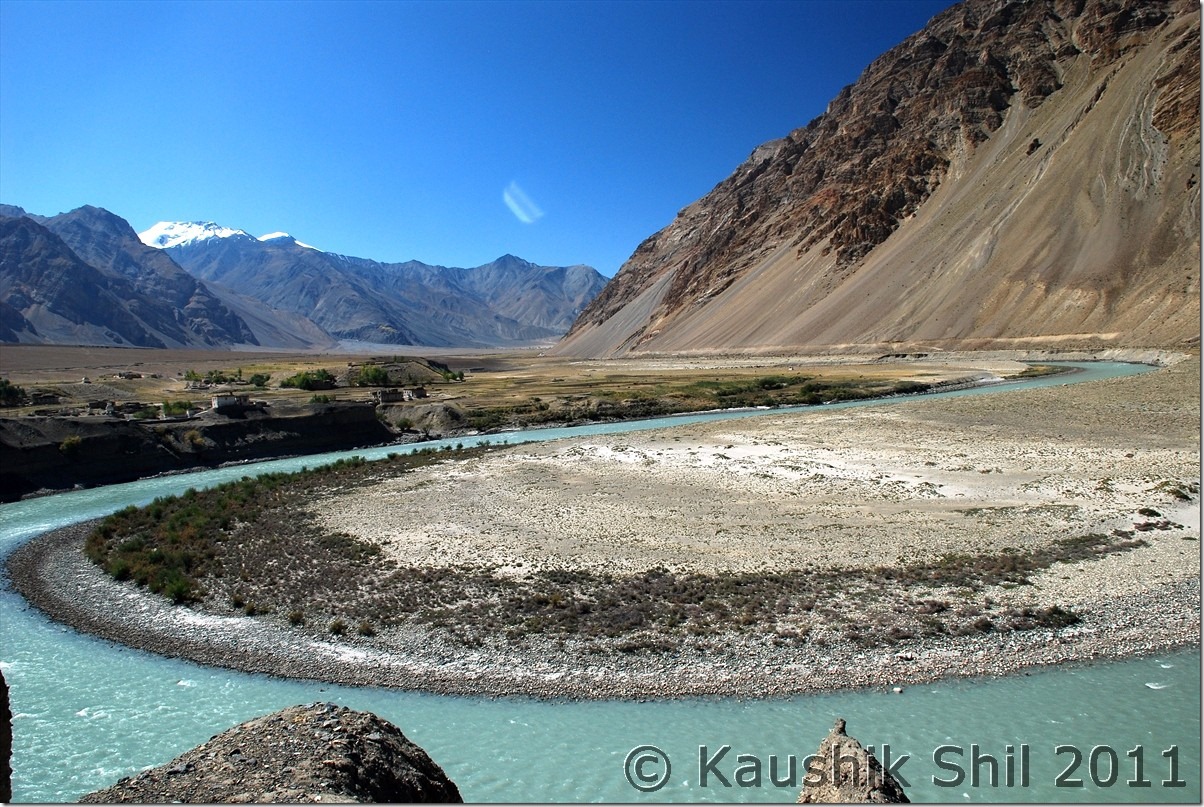
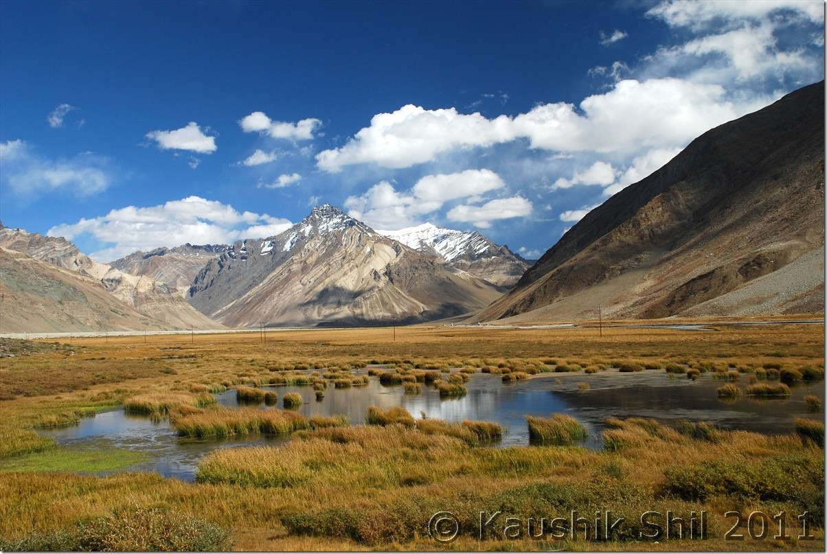
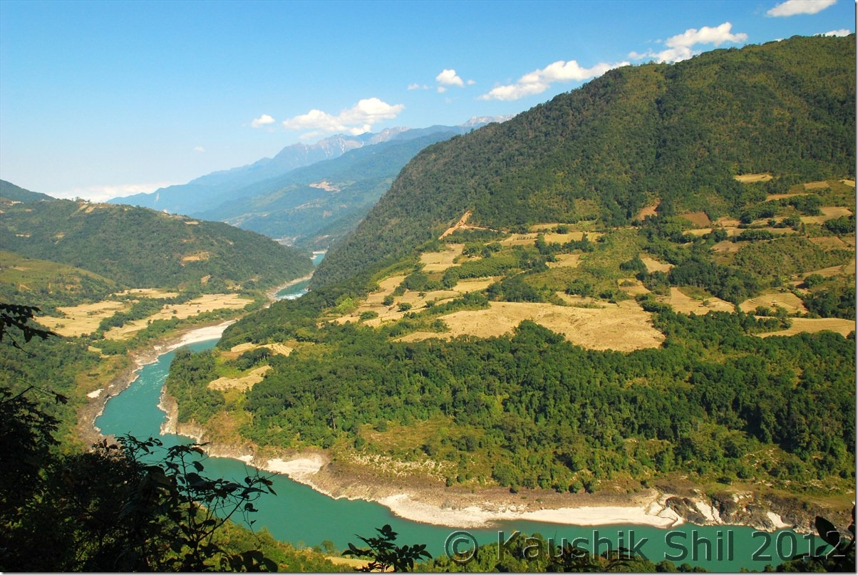
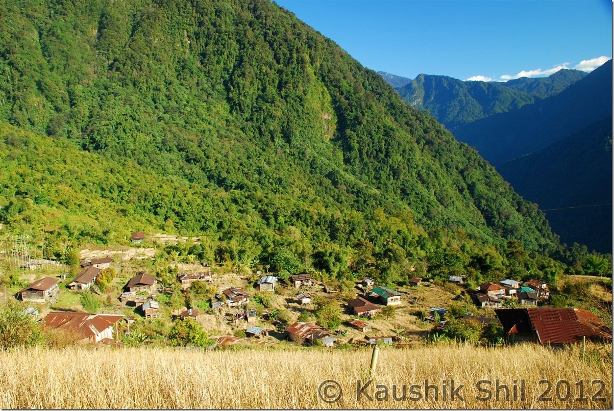
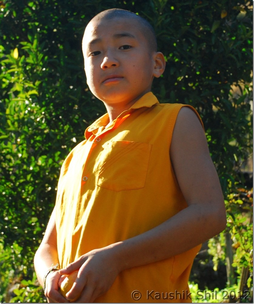
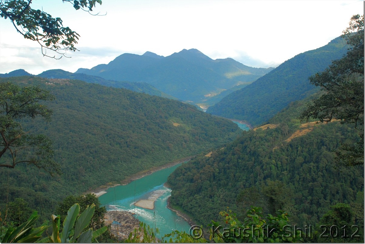
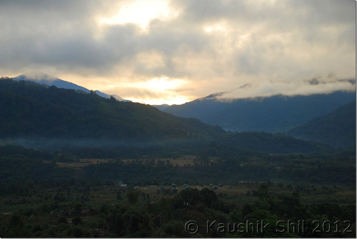
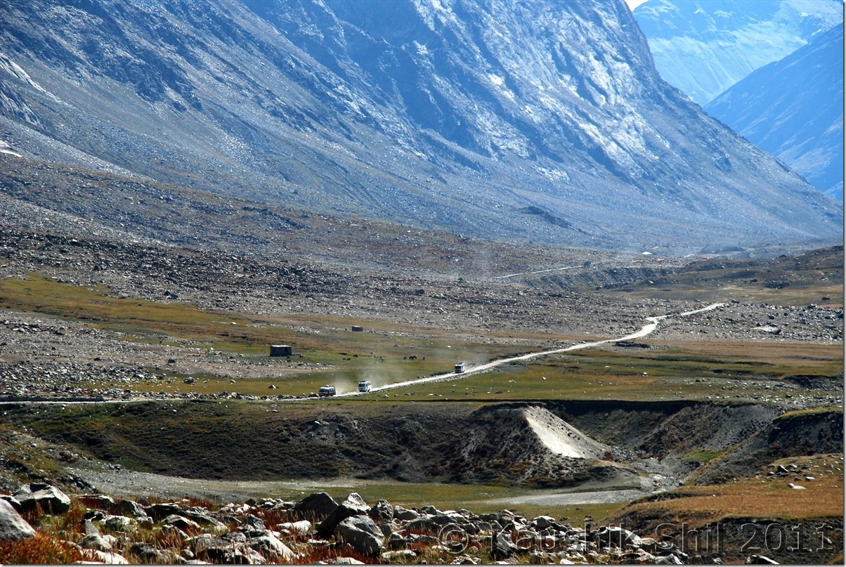
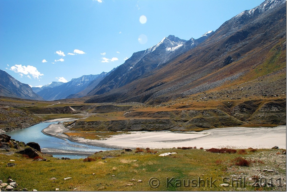
Once you approach Padum, the valley widens significantly and sandwiched between Zanskar Range at North and Great Himalayan Range in South. It’s actually a trekker’s paradise as many treks towards Lamayuru, Leh, Markha Valley, Darcha, Pangi Valley, Kishtwar starts from here in various directions. The long 274 km journey from Kargil and back in same way sometimes work as deterrent to visit this heavenly place. In next few years when Hanumil to Chilling would be connected along with Zanskar river Gorge, people can travel from Zanskar to Leh in just crossing 165km which is presently 500+ km via Kargil. Also road work is in progress between Reru and Zanskar Sumdo to connect Darcha in Leh-Manali highway to connect with Padum via Singo La. There is a plan of building a tunnel in Singo La as well and with Rohtang Tunnel if this can be done, Manali – Leh would be an all weather road bypassing it’s present alignment across high passes of Barlacha la, Nakeela, Tanglang la. You should have 2 full days for Padum to do some justice to this place. Unfortunately we have only a day to spare. We started our day with Zangla Palace which in on the way to newly built unfinished road towards Leh in North. The valley view was awesome and we enjoyed an awesome Horse Shoe Bend on Zanskar River enroute, straight from geography text book. Car can’t go till top and you have to walk if you want to go up on the palace to get a dramatic view of the valley. On the way we climbed a steep Strongde Diversion to see that Monastery as well. Absolute brilliant view from top. Bardan Monastery is on the southern side via the road towards Reru and it’s completely different view with deep canyons and gorges all through. The monastery was built on a hillock and commands a majestic view. Better visit the place around noon when sun would be at top so you get better lights for photography, else this stretch is difficult for photography with deep canyons around. The Bardan experience was superb, the monk opened the door, explained us on history of monastery and the two different sect in Buddhism, Gelukpa (Monasteries like Karsha, Strongde, Rangdum fall in this category) and Drukpa (Bardan, Zongkhul, Topchilling, Gurugandhal, last two are in Keylong fall in this category). They offered tasty namkeen chay (Butter Tea) and also offered us the lunch. Their hospitality would surely touch you. We came back to Padum, take a little break and proceeded to Karsha to get the dramatic view from Karsha towards Padum Valley. Karsha is a must visit during sun set and experience the last rays of light kissing the valley floor, awesome experience indeed!! It was our last night at Padum and without the availability of cook (most of the support staffs in these hotels leave by Mid Sep and it becomes very difficult to manage acco and food specially if you are a large group during end season), the owner was kind enough to serve mutton, very tasty indeed in that height and cold.

Towards Zangla valley:

DSC_0536

Strongde Monastery at right side top:

DSC_0537

From the Strongde Monastery looking towards Zangla Valley:

DSC_0558

Zangla Palace:

DSC_0598

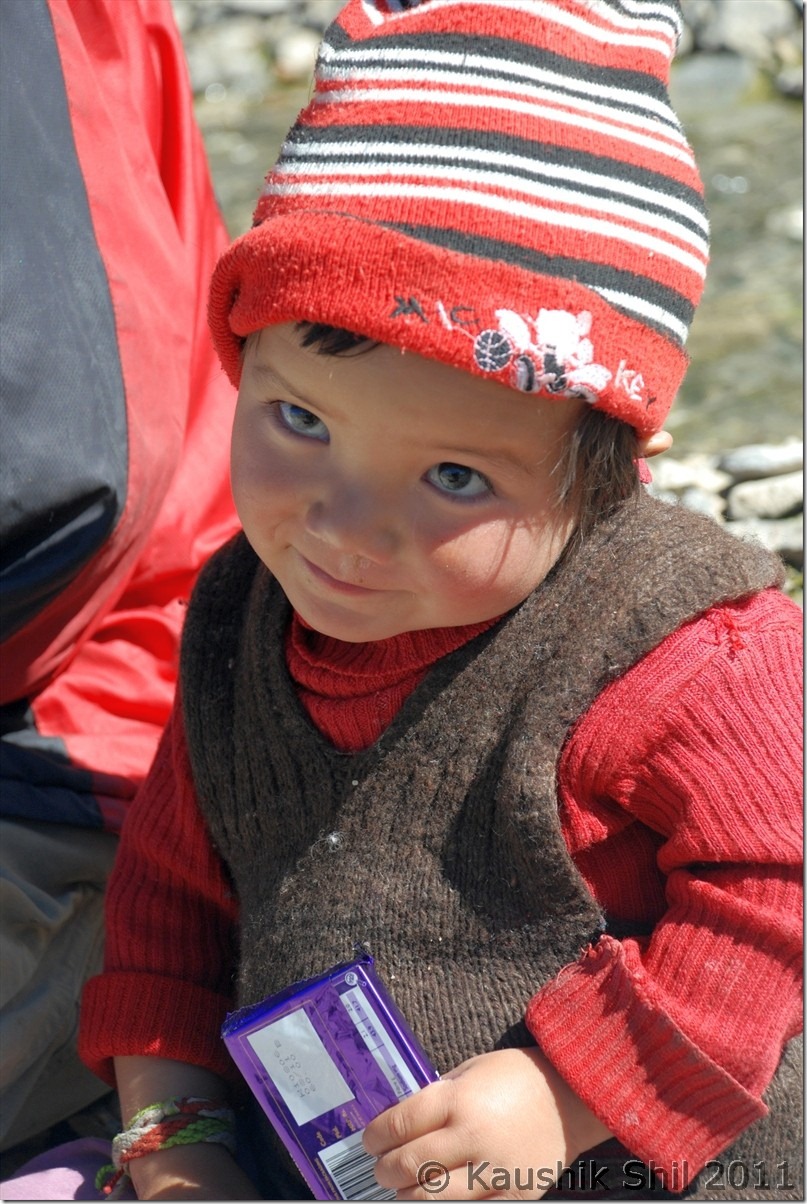
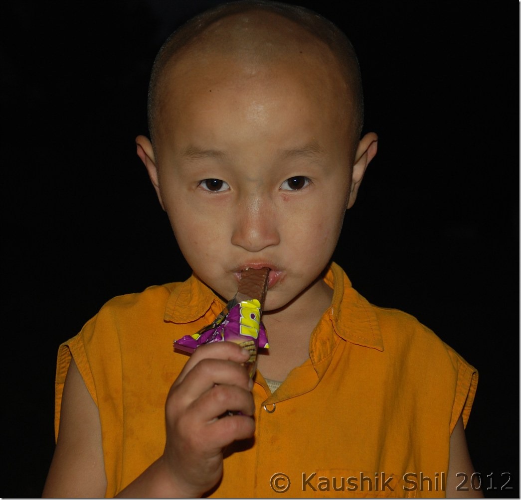
A Sweet Zanskari Baby, see the invaluable smile after getting the Cadbury:

DSC_0610

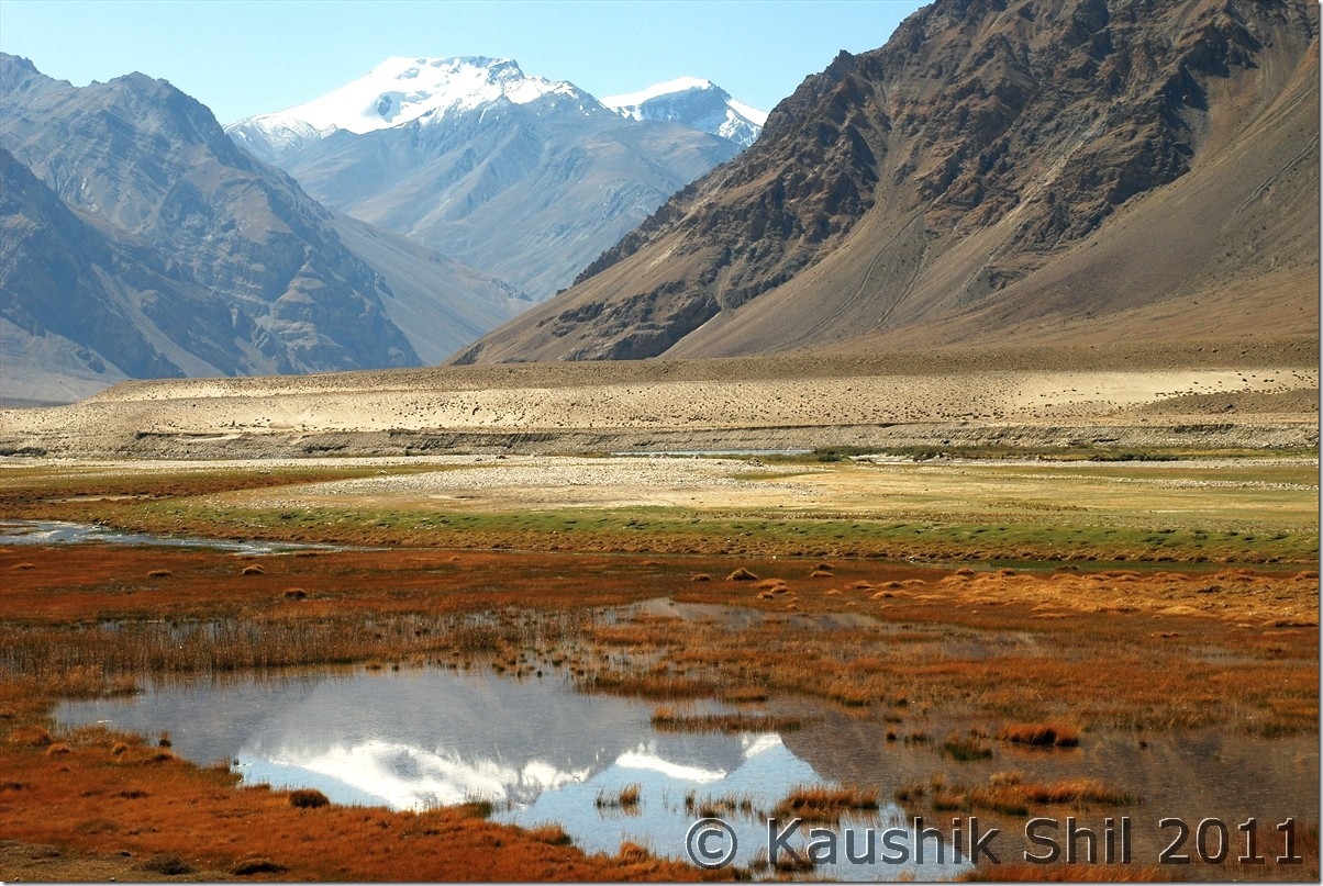
It’s all about colors, really awesome during fall:

DSC_0621

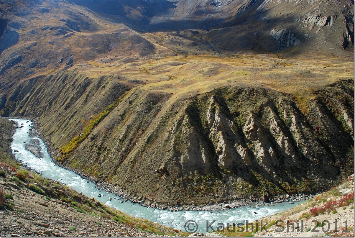
Zanskar River taken a Horse Shoe Bend, Straight from geography text book:

DSC_0623

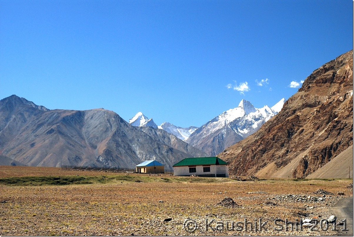
What a place to stay:

DSC_0629

Bardan Monastery, a very dramatic location on a cliff:

DSC_0658

Kid with Lama, inside Bardan Monastery:

DSC_0683

Karsha Monastery from other side of Valley:

DSC_0702

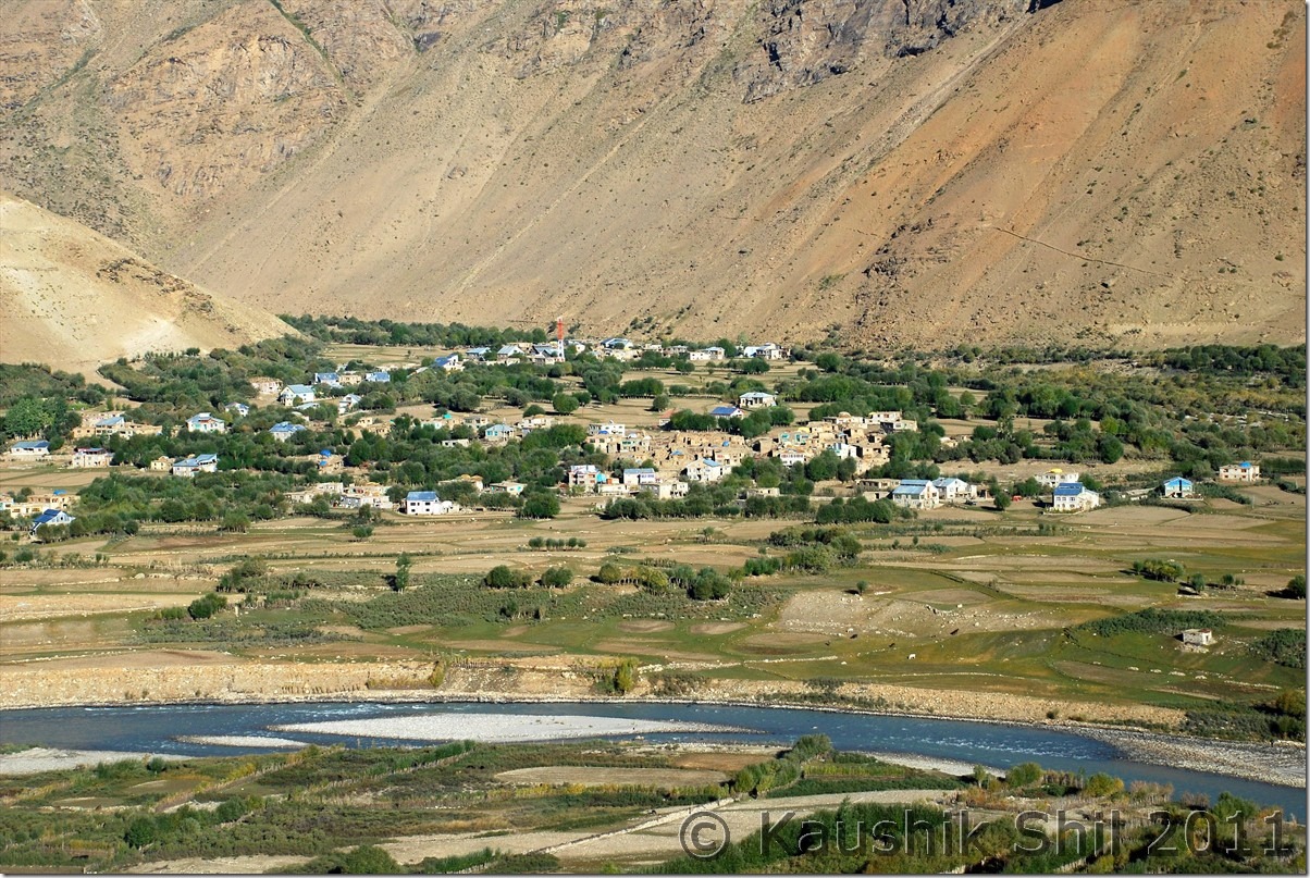
Zanskar Valley from Karsha Monastery:

DSC_0721

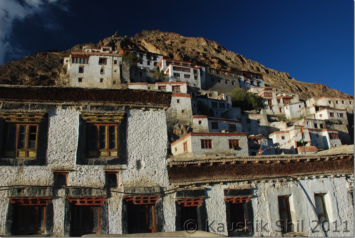
Karsha Monastery:

DSC_0754

26th September:

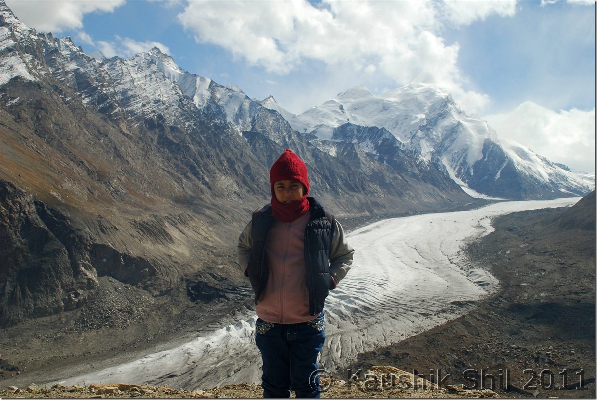
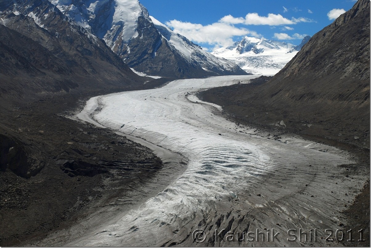
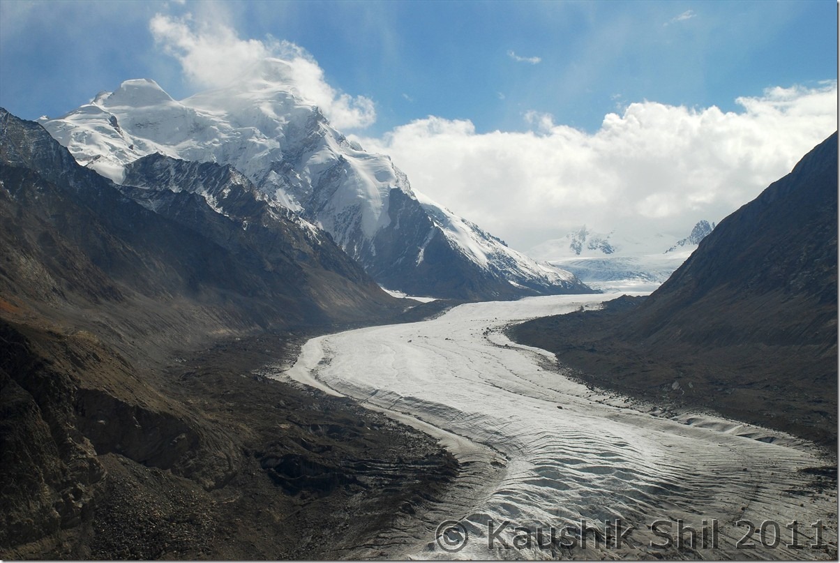
I mentioned Padum Taxi Union is another bottleneck and they would force you to take their car for sight seeing and drop to Kargil. Here Kazim again taken a brilliant move, he managed a car requisition slip from Army where it’s mentioned the car was requisitioned for army purpose form Drass and having army guests in it. Zanskar guys asked a few questions but Kazim outsmarted them with this and we had an excellent trip with him all through with no pressure of taking a Zanskar car anywhere. The return had to be in same route and honestly little scary if you think you have to travel same 274km of road again. We started early, quick look at Sani Gompa and then heading fast towards Drang Drung Glacier. We parked the car before the Pensila Ascent from Zanskar side and tried a small trek to glacier which was very much possible but even a 30 mins walk in that height with chilling wind is difficult to withstand. Also going to glacier was easy as you go down and know where you are heading, coming back to car was quite difficult as you can’t figure height from below towards the road on top. I managed to hit the road at least 2 km behind the car was parked and had to walk. We spent little more than an hour in whole but it was an amazing experience being so close to a glacier. Rangdum was a stop for quick lunch and we crossed the worst section of Rangdum and Parkachik in an hour and half. We dashed to Sankhoo as next day we were planning for Leh but Sankhoo GH of JKTDC seems to be in poorer condition than Purtikchey, though markets were closeby and getting foods were easier here. Purtikchey had geysers in the rooms, Sankhoo didn’t have which was a necessary requirement in end September.

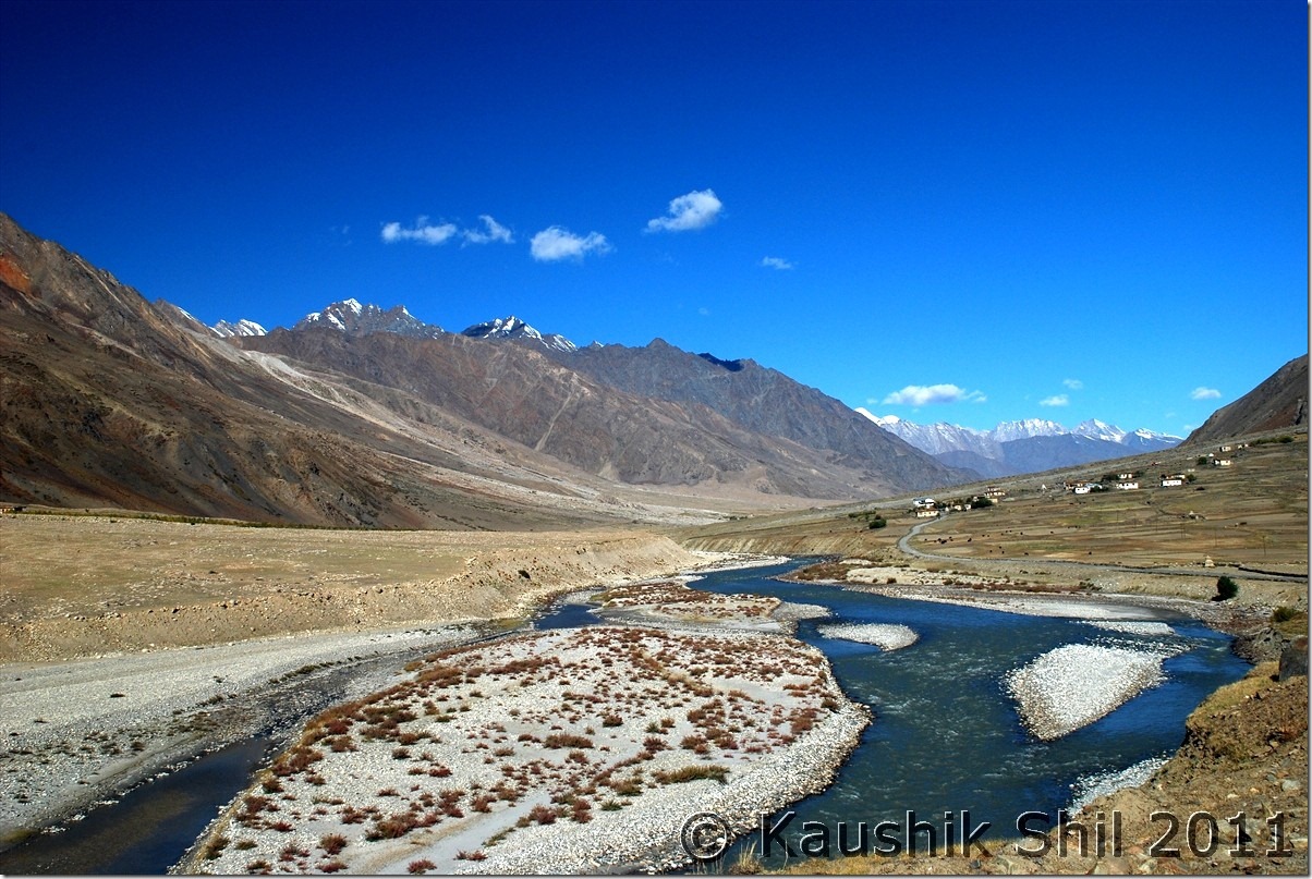
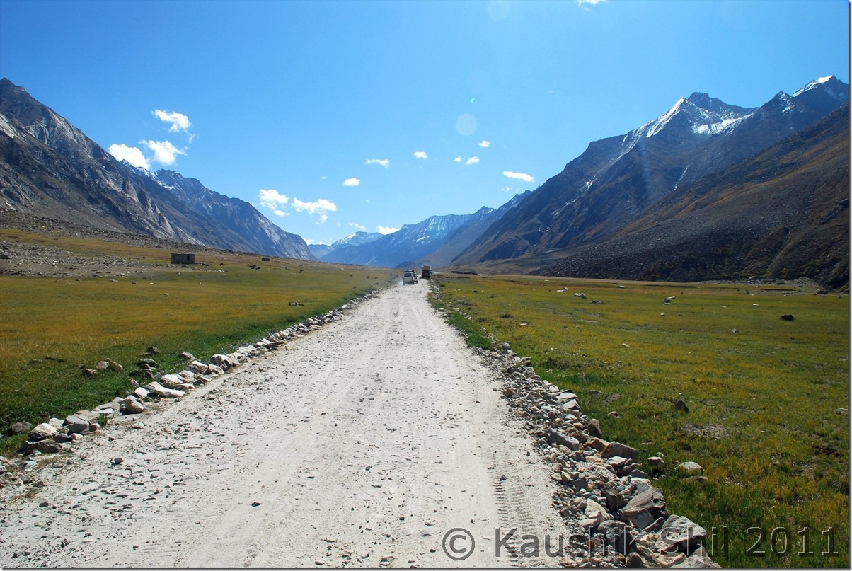
Retracing back the Zanskar Valley:

DSC_0783

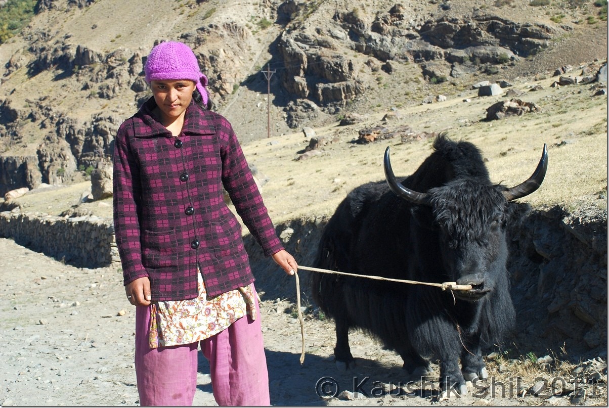
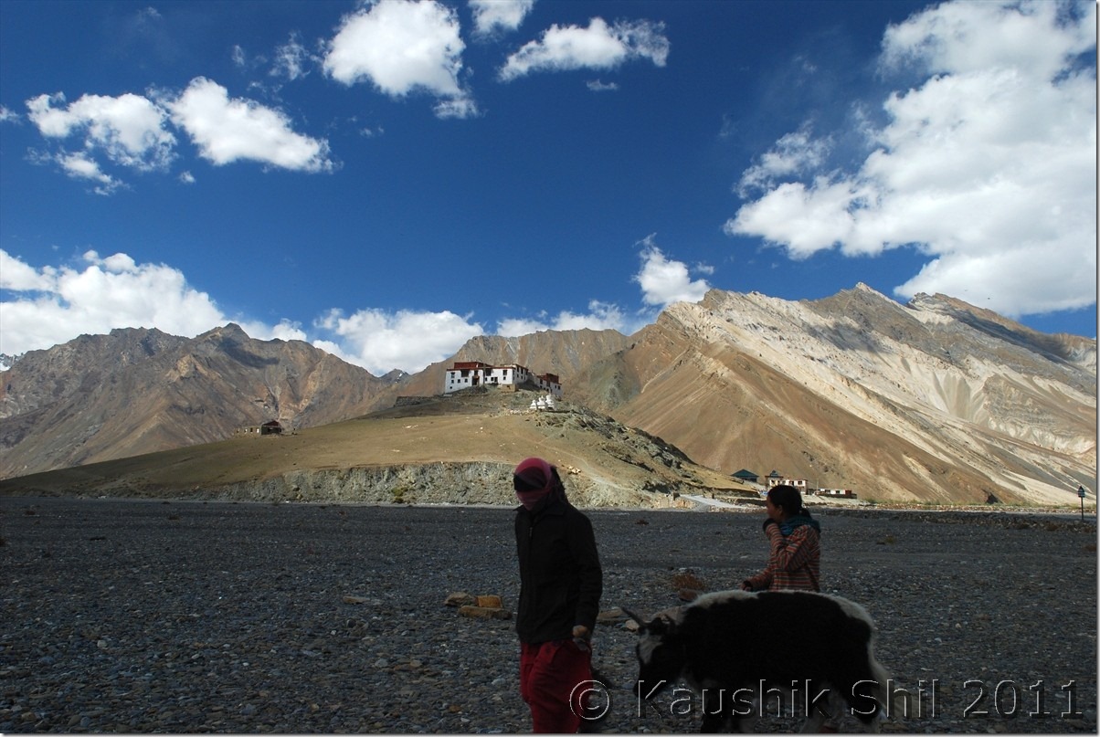
Zanskari Girl with Yak at Skaygam Village:

DSC_0788

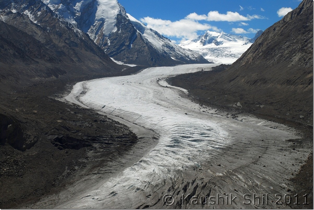
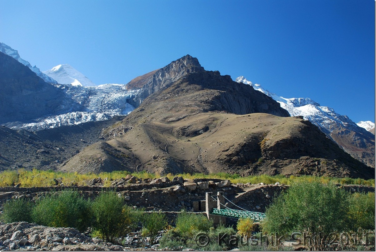
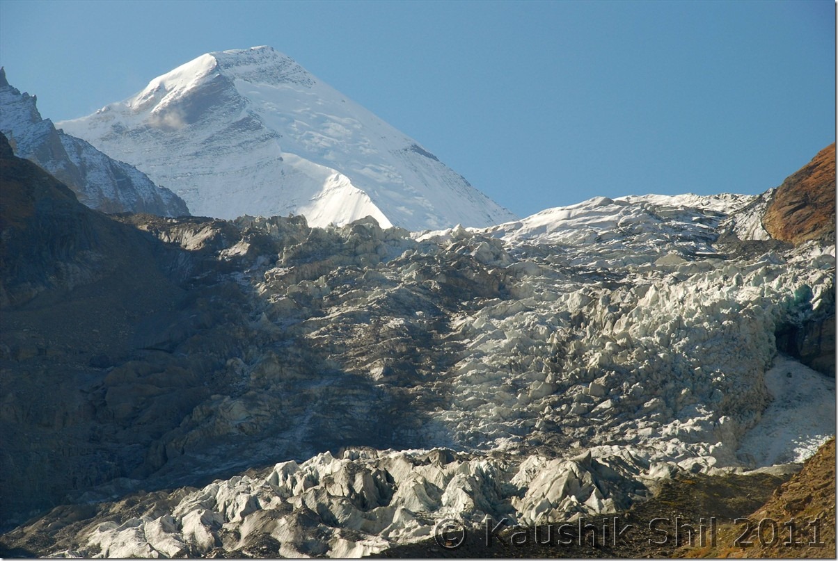
Drang Drung Glacier Again:

DSC_0849

Zanskar – The Wild West:

DSC_0852

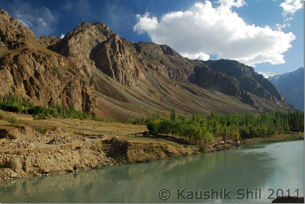
Once again Suru Valley at its magical best:

DSC_0885

DSC_0873

Approaching Rangdum:

DSC_0875

Randum Monastery:
DSC_0879

Previous: Ladakh – Crossing Pensi La to Zanskar Valley

Next: Ladakh – Sankoo, Kargil to Leh

Ladakh – Crossing Pensi La to Zanskar Valley

24th September:

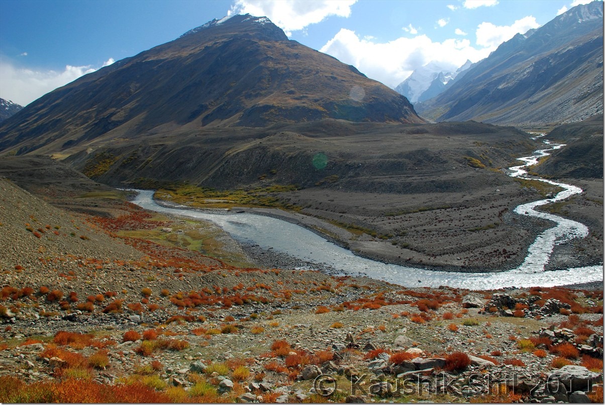
Got up early to catch magnificent glimpse of first sunrays on Nun-Kun Peak from Purtikchey. Nice serene ambience but later we understood it’s only the Nun peak that is visible from Purtikchey and Kun is towards left, out of vision, as the Suru river takes a U turn after Panikkhar towards Parkachik and Kun can be seen from Parkachik or Shafat Nalla areas. We started our long journey by 7.00 in the morning and after 13 km from Purtikchey just before entering Panikhar, we crossed the river and entered Namsuru Village to get a tarred bypass to avoid 15/20 odd km of unpaved road that goes through Panikhar. The paved road condition is nothing great but it gives you a brilliant view of Panikkhar village and Suru valley that widens here and presents a nice photo opportunity specially during morning time. From other side of the river, we could identify Tongol which is another 5 km from Panikhar on other side of river and the Nun base camp trek starts from here. JK Tourism has an alpine bungalow there too but not in a good shape. The road takes a turn along with Suru River and approaches to Parkachik which is around 10000 ft height and even had a high school apart from middle and primary school. The only college of the valley is at Sankhoo. Around Parkachik you would surely find students asking for lifts while going to school or coming back as public transport is almost non-existent in the region. Parkachik was famous for the glacier which you can approach sufficiently close if you don’t mind walking for some time at that height just after crossing the village. After Parkachik due to building up of an irrigational canal, you would find some blasting work in progress which would slow you down sufficiently and the worst stretch of road starts between this place and Rangdum which is the highest inhabited place in this route at 12500 ft and even in end Sep, Rangdum was only place in this route where water was turning ice at night, later we had this experience in Changthang but that was much higher and we were in October by that time but Rangdum is surely a place with extreme isolation in the middle of high mountains and one panoramic monastery. The whole valley turns extremely scenic between Parkachik and Rangdum and the special red/yellow/green/brown grass of September and the isolated horses roaming and Zanskari people in the picturesque valley would certainly keep a lasting memory. Rangdum Monastery can be approached by a short cut from the deluxe camps ground, one of the many deluxe camps of the Zanskar/Ladakh region that was still operational because Himalayan Car Rally participants are supposed to stay a night here here during their run. The monastery is in awesome location with an excellent valley view and a must visit for anyone crossing Rangdum. It carries the awful experience of terror strike in early 2000 when few terrorists crossed over the valley from Kishtwar side and hijacked a truck with German tourists and gunned down many monks in Rangdum monastery and finally abandoned the truck by killing the driver and abducting the Germans and fled through Shafat Nalla. You would still find an army camp beside the monastery which is quite uncommon for any monastery starting from Ladakh to Bhutan. Rangdum is the last place where you find something for your stomach before you hit Padum which was still 100+ km ahead. We got some last few eateries open and had a lunch with roti – Omlette. The ascent of Pensila starts just few km after Rangdum and you would find you start loosing Suru River beside you that started even a few km ahead of Kargil. That clearly indicates you are approaching Watershed region and that indicates the topmost point of the terrain around you is approaching. In all probability you would find a new river from other side flowing with you. The twin lakes before the pass, the pass itself around 14000 ft being highest point on Kargil-Padum road and of course the Drang Drung Glacier just when you start descent from pass would surely be the places to spend time and get few photo opportunities. The glacier is specially amazing and probably only one so close to a motorable road, it looks like as if a river is frozen there for good. After the glacier, you would enter the Zanskar Valley as Suru Valley ends before Pensila. Amidst of colorful mountains, you would find small village starts appearing in Zanskar Valley, Skyagam, Ating, Tungri are few big villages those appear before one reaches Padum. We found JKTDC GH has only one VIP room that is quite good but they didn’t want to give that room(rest don’t even have hot water), Gay Skit as recommended by Harsh was full, Kailash Chamling, recommended by Bijoy was also very busy with all stuff involved in arranging some local function in the hotel, we continued our search and finally zeroed in Marq GH, that finally turned up a brilliant hotel with big and spacious rooms and running hot water for 24 hours. The hotel which offered me 3000 in All meal plan per person per day over phone/ email was finally managed for 1000 for 2 adults and a kid with separate food, bliss of off season

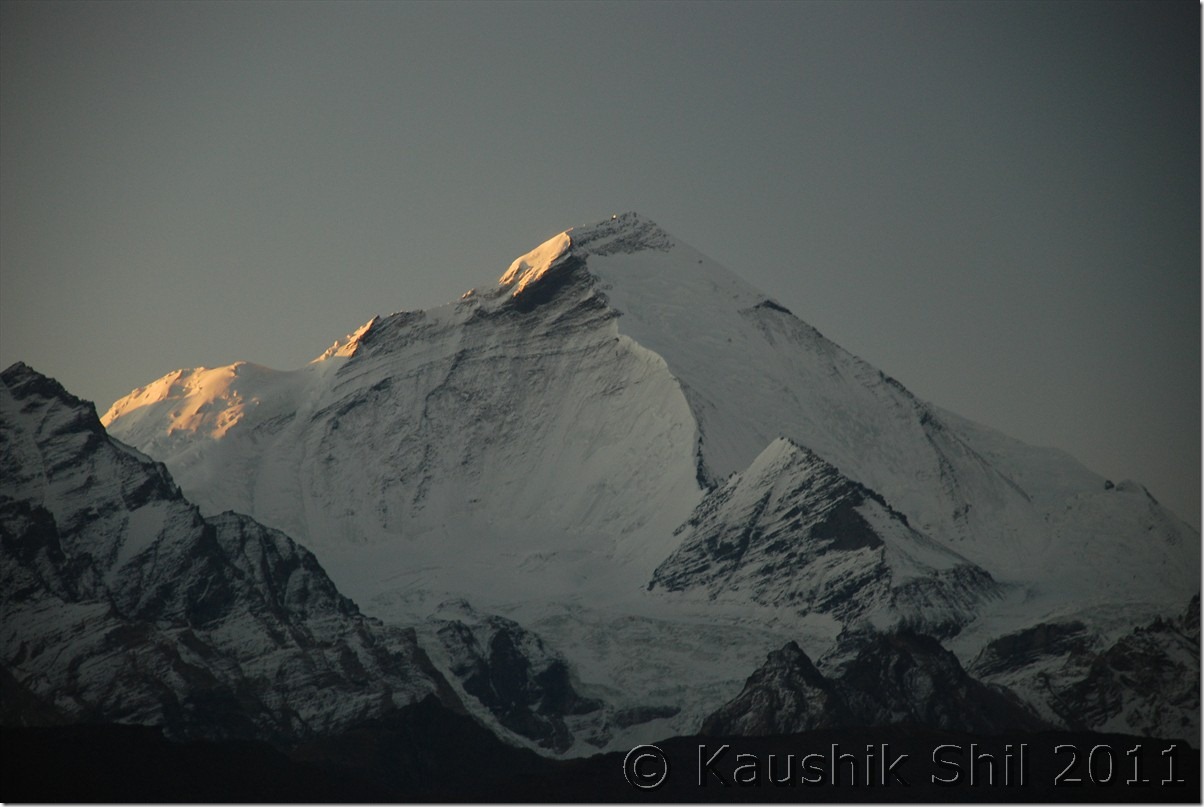
First Ray of Sun on Nun Kun Peak:

DSC_0290 DSC_0291

Panikhar Village from Namsuru, opposite side of Suru River:

DSC_0321

Parkachik Glacier:

DSC_0333

Parkachik Glacier Up Close, see the Nun Massif in the backdrop:

DSC_0334

Unnamed Glacial Peak:

DSC_0349

Suru river flows through valley bed:

DSC_0354

The Road Ahead:

DSC_0367

Colorful Suru Valley near Parkachik

DSC_0369

Road goes towards Rangdum

DSC_0372

Amazing colors of Suru:

DSC_0379

Kun Massif from Shafat:

DSC_0382

Closer to Rangdum:

DSC_0406

Rangdum:

DSC_0415 DSC_0437

Drang Drung Glacier at Pensi La:

DSC_0468 DSC_0475

Entering Zanskar Valley crossing Pensila:

DSC_0483

First Village at Zanskar Valley:

DSC_0499

Previous: Ladakh – Srinagar, Sonmarg, Jojila, Kargil and entering Suru and Zanskar Valley

Next: Ladakh – Exploring Padum, Karsha, Strongde and Bardan Monastery and Back to Sankoo

Ladakh – Srinagar, Sonmarg, Jojila, Kargil and entering Suru and Zanskar Valley

22nd September:

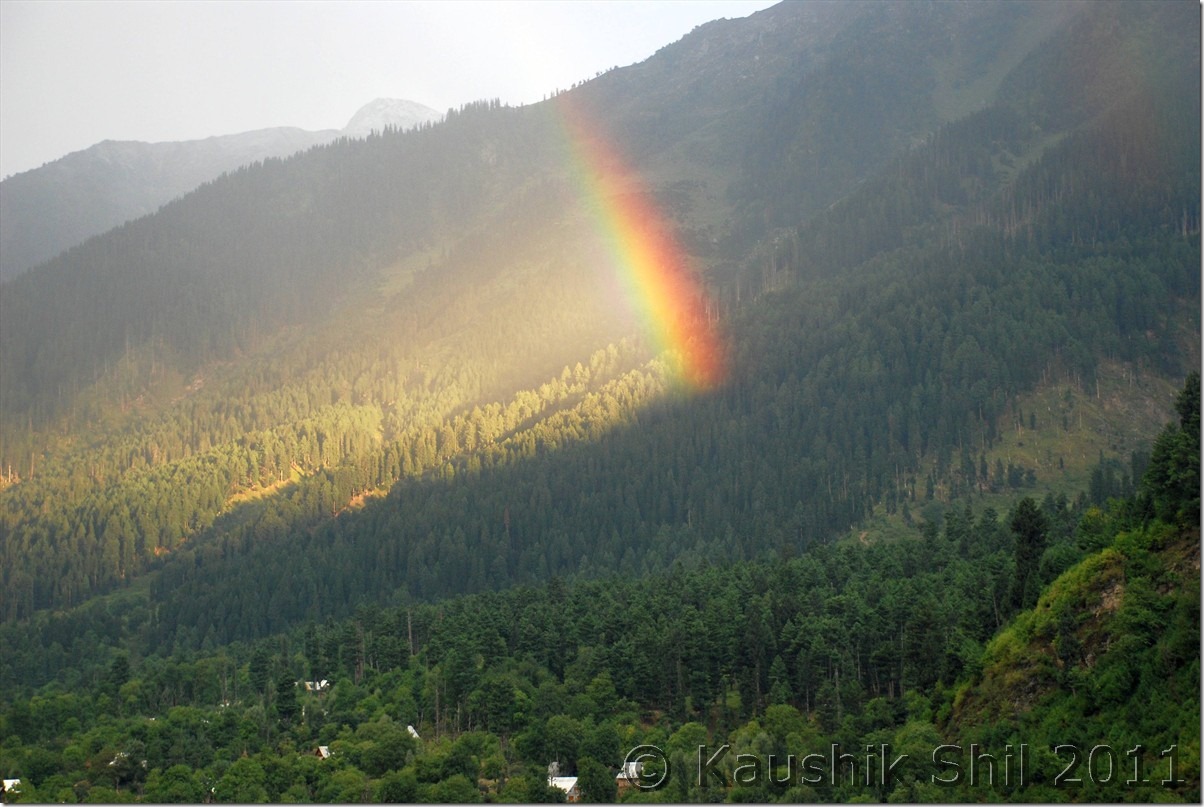
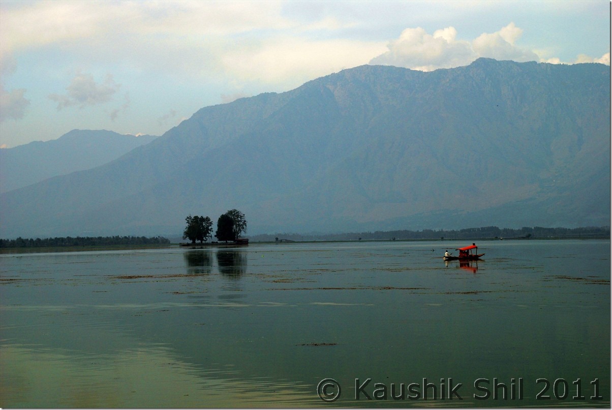
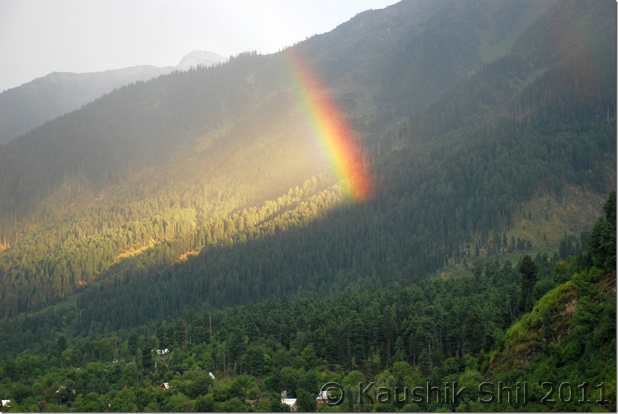
The previous night, when I was almost ready with all packing done, my kid suddenly started showing uneasiness and we found she had fever, a trip which was not expected to start in that way. We were little nervous but thought of moving ahead with the medicines we had. It was a 9.05 KF flight from Kol-Del and subsequently a 12.45 Del-Srinagar flight that took us to Srinagar by 2.15pm. We decided not to waste any time in a height of 5000+ ft at Srinagar and straight away proceeded to Sonamarg which was around 8700ft height. The checkout /baggage claims took hardly half an hour and were greeted by Kazim with his nice Xylo outside the airport. We did some last minute shopping of mineral waters, dry foods etc. from Srinagar, got some quick photo session near Dal lake and were on our way towards Sonmarg by 4.00pm. The NH1D to Sonmarg via Gandarbal, Kangan, Gund is around 3 hrs journey across amazing Kashmir Valley, road was superb. We were greeted by an awesome rainbow enroute may bring all lucks for our coming days. There are few options in Sonmarg regarding accommodations, Glacier view is nice private one but quite pricey with 2000+ room rent even in off season. We chose JKTDC with close proximity to market, nice ambience with running hot waters at 1000 for 2 adults and a kid. It was a bargain as 1300 is the official off season price if you try to book it through JKTDC web interface. The dinner was awesome there and fortunately the kid started showing improvement in her health but we felt the chilling nights even with all the blankets on.

Dal Lake Srinagar:

DSC_0027 DSC_0034 DSC_0046

On the way to Sonmarg:

DSC_0054 DSC_0064 DSC_0068

23rd September:

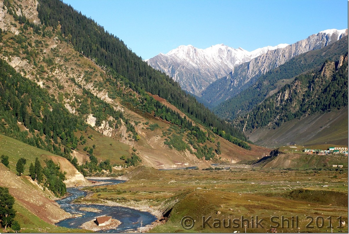
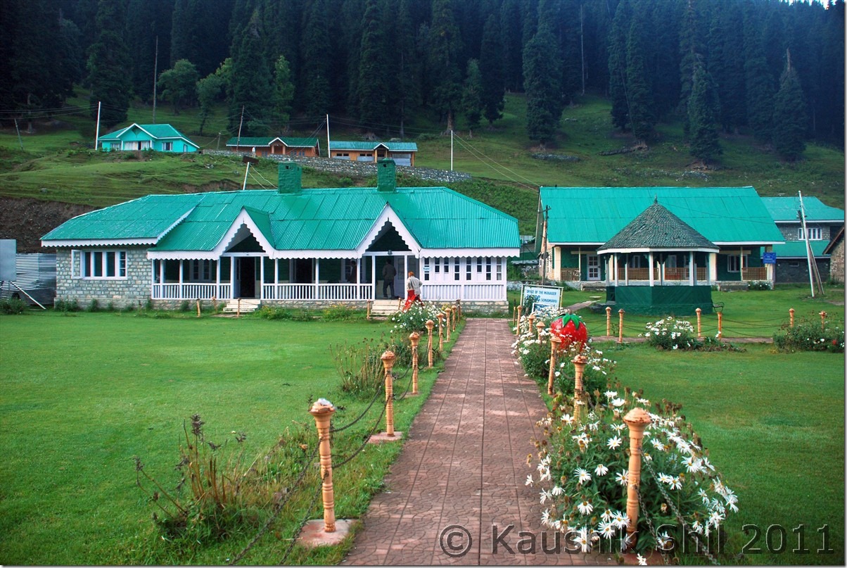
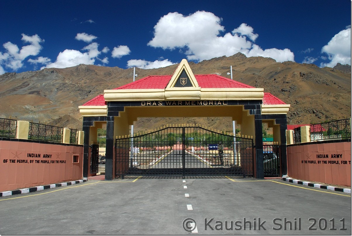
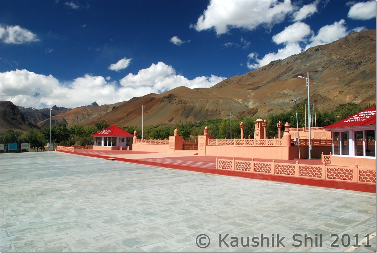
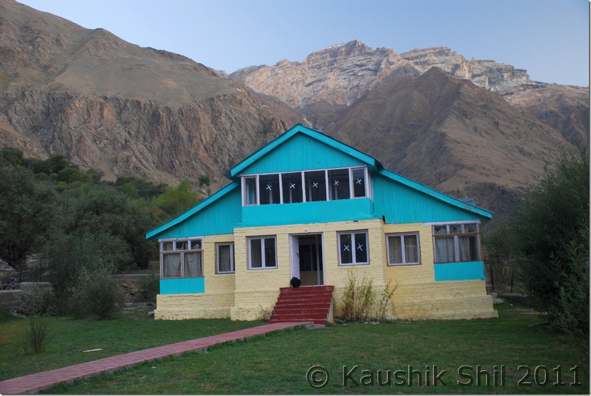
We knew about the restrictions of crossing Sonmarg towards Jojila between 6.00pm in evening and 11.00am in morning but we were told it could be managed if we start before 6.00am as no one would be there in the check post to stop us. Unfortunately that’s not the case and we were stopped even before 6.00am just outside the JKTDC GH at Sonamarg near the check post. No amount of pleading was sufficient to make them understand we had to start early as our today’s stop was even further to Kargil at Purtikchey. They just asked us to come after 11.00am which means loosing a day on the very start of the trip. Kazim came handy here, his brother was the driver of DIG, Kashmir and few phone calls there after, the same security guard came out and himself found out our car and made our roads with a smile and murmuring softly why we didn’t tell him that we were the guests of DIG. Unexpected but we were through by 6.15am. In India, connection is the key The best thing is we were the only car going in opposite direction and we had ample time to take snaps with no cars behind. The road to Jojila was one way and full of dusts and definitely in a bad shape specially the ascent from Sonmarg. The road towards Baltal to Amarnath diverts from in between and after some delay with lots of truck traffic we were on Jojila top by two and half hours. Jojila to Drass was nice with mix of good and bad roads. Just before Drass you would find the diversion to Mushko Valley which was in headlines during 1999 Kargil War. The same road now is through to Tulail and Gurez and one can go to Srinagar via Bandipore by making a loop. The road was recently inaugurated by BRO in 2010 and yet to be opened for civilians. Drass, the second coldest inhabited place in earth as the JK Tourism board displays was a small and nice town with heavy army presence. We tasted first Namkeen Chay (Salt/Butter Tea) of our trip here and we got addicted to it, it was really nice. Drass could be a good pit stop for lunch before Kargil and road from here onwards crosses War Memorial, a must see enroute and colourful mountains and valley and the valley starts narrowing down after this and you would find you are following almost the LOC and Kazim was showing us the signs of shelling from other side of LOC on the road side poles, trees, mountains all through this section during 1999 Kargil War. Tiger Hill, Tololing and other commonly uttered names during Kargil Wars can be seen across the mountain ridge and the sacrifice of our army would surely touch your deepest. Just before Kargil, you would find Drass and Suru river meets and though non descriptive, you would find Kargil as largest town between Srinagar and Leh in this route. Road towards Zanskar via Suru Valley and towards Leh bifurcates here. Our destination was Zanskar and we first met Mr. Golam Rosul, Tourist Officer, JKTDC Kargil who was in charge of reservation for all the alpine bungalows across Suru and Zanskar Valley. Surprisingly he greeted us in Bengali and later we knew he was posted first 2 years of his service at JKTDC, Kolkata and quite familiar with Kolkata. A very nice gentleman with good sense of humour he advised us to choose between Sankhoo, Purtikchey and Panikhar situated in 8500, 9500 and 10000 ft height respectively. Height of night stay was important as we were trying our best to acclimatize as quickly as possible. Sankhoo and Panikhar were closer to shops and had a better chance to get foods arranged in off season while Purtichey is more scenic with perfect frames of Nun Kun you could see from Bungalow. We chose Purtikchey but Mr. Rosul gave us papers for staying either in Purtikchey or in Panikhar in case Purtikchey was closed. The tar road ends near Sankhoo around 40km from Kargil but the road is very scenic and you could see fall colors all the way in this road. After Sankhoo, the unpaved road starts for rest of the 234 km towards Padum but locals expect next year paved roads would reach till Panikkhar. 13km from Sankhoo on unpaved road we reached Purtikchey and luckily found the caretaker of the GH nearby. No guest stayed there in whole month of September and he was surprised with this sudden arrival of tourist but somehow agreed to Rice/Dal/Sabji kind of dinner from the winter stock he had. We caught the last rays of evening sun on Nun-Kun and after dinner quickly move to bed but it was one of the coldest nights in our trip. There are only 2 rooms in the nicely located GH but most likely you would get them unless you hit the region in July/August peak season.

Sonmarg in the morning:

DSC_0075

See the trail below towards Amarnath Shrine via Baltal:

DSC_0085

Sonmarg JKTDC, an excellent value for money option to stay:

DSC_0072

Jojila Top

DSC_0100 DSC_0101

Towards Drass:

DSC_0150 DSC_0175

Drass War Memorial:

DSC_0221 DSC_0225

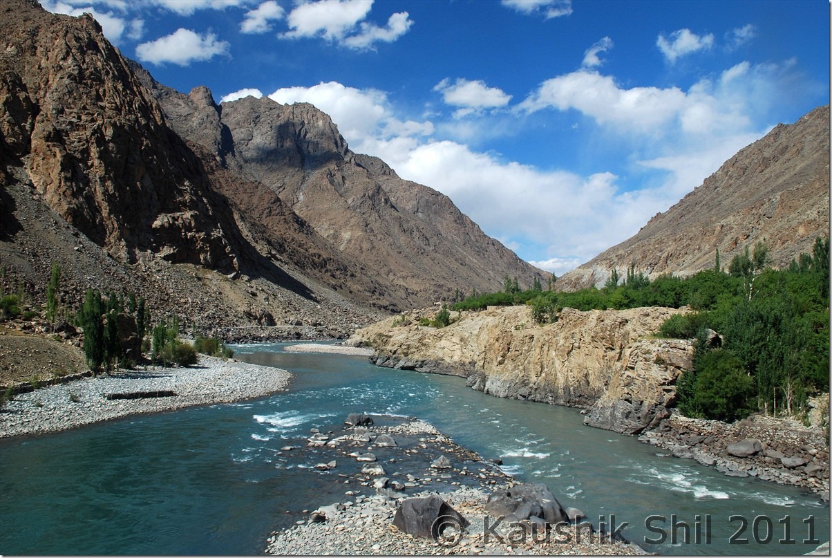
Just before Kargil, Drass and Suru river Meets, we will catch Suru from here and it would be with us till Pensila:

DSC_0248

Entering Suru Valley:

DSC_0261

JK Tourism’s Alpine Bungalow at Purtikchey:

DSC_0288

Previous: Ladakh – Exploring Zanskar, Ladakh and Remote Changthang – Introduction

Next: Ladakh – Crossing Pensi La to Zanskar Valley

Ladakh – Exploring Zanskar, Ladakh and Remote Changthang – Introduction

Managing Zanskar and Ladakh in one go for 18 days with kid, possible? The question was looming large but then planning to Demchok and Chumur adds more uncertainty and seems to be an insane idea. Now while going to Demchok from Hanle, crossing Photila and trying Tsomoriri directly from Hanle, won’t it be crazy? Yes we started a well planned trip with lots of input from this forum but honestly it gone beyond sanity to try with just wife and kid. We enjoyed thoroughly and in God’s grace got excellent weather. This is the time to share our experience.

I have been to Ladakh earlier and knew the challenges, challenge of acclimatizing your body with that height of 11K+ almost through out the trip, desolate and remoteness of the Zanskar Valley and Changthang Plateau, choosing the right window for travel considering the early and late seasons are full of uncertainties and actual small 2 month’s window of July and August are terribly crowded. For me it was more challenging as I was going to take this trip with just my wife and kid of 6.5 yrs. Getting a car with reasonable price and knowledgeable drivers who have some ideas beyond Nubra/Pangong/Tsomoriri were a must to make this trip a success. Number of Taxi Unions and their self proclaimed rules in their own areas were another mess you need to handle if you want to take up this trip. Kargil Cars can take you to Zanskar but can’t take you back without paying a premium to Zanskar Union, for Zanskar sight seeing you have to take Zanskar Cabs, Kargil Cabs can take you to Leh but can’t do sightseeing in Lamayuru etc. enroute. I was again lucky to get introduced to ex.Taxi Union President of Kargil Mr. Rehman, a nice gentleman who helped me to get Kazim, a middle aged person with a Scorpio and Xylo and it’s because of him I was able to complete my Zanskar trip. Ladakh part was never be possible without Regzin, who was simply outstanding and being an ex. army of Ladakh Scouts and posted in all corners of Ladakh including Siachen, DBO, Chumur, Demchok for 18 years, he knew how to follow the tyre track and common sense for hundreds of km before coming across the first vehicle for opposite side without any direction or maps.

Another funny part was the plans and backups I kept, I had to cancel 5 sets of tickets for different sectors those were planned as my backup in different stages. My idea was to visit through Srinagar but had to keep Del-Leh flight open in case situation in Srinagar Valley turns volatile, similarly I kept my return plan open so that I can travel to Leh – Manali or can fly out from Leh directly which I did eventually. I even had to cancel a Del-Kolkata Rajdhani ticket while my Del-Kol flight was taxied to runway which I kept in case Leh-Del flight gets cancelled and subsequently my Kolkata connection would have missed.

Weather in this region was a big ask, you never know when that could change dramatically but with God’s grace and good wishes of many other friends, I got probably the best weather possible, first time I saw cloud in the sky on my last day of the trip, it was absolutely cloudless and blue sky with fall colors all around.

The Trip Schedule is like this:

Day 1 – Fly from Kolkata to Srinagar via Delhi and on same day proceed to Sonmarg and stay

Day 2 – Sonmarg – Jojila – Drass – Kargil – Purtikchey

Day 3 – Purtikchey – Panikhar – Parkachik – Rangdum – Pensi La – Padum

Day 4 – Padum Stay and visit Strongde Monastery, Zangla Palace, Bardan Monastery and Karsha Monastery

Day 5 – Padum – Sankhoo

Day 6 – Sankhoo – Kharse Khar Village for Maiterya Buddha – Kargil – Leh

Day 7- Leh Permits and Local Sight Seeing

Day 8 – Leh – Khardung La – Nubra Valley – Hunder

Day 9 – Hunder – Turtuk – Deskit

Day 10 – Deskit – Wari La – Chang La – Tangtse

Day 1 1 – Tangtse – Spangmik

Day 12 – Spangmik – Man – Merak – Chusul – Tsga La – Loma – Hanle

Day 13 – Hanle – Photi La – Photile – Koyul – Demchok  Back to Hanle

Day 14 – Hanle – Kyun Tso – Salsal La – Chumur – Charchagan La – Tsomoriri

Day 15 – Tsomoriri – Tso Kar – Tanglang La – Leh

Day 16 – Spare Day at Leh

Day 17 – Spare Day at Leh

Day 18 – Flying from Leh to Kolkata via Delhi

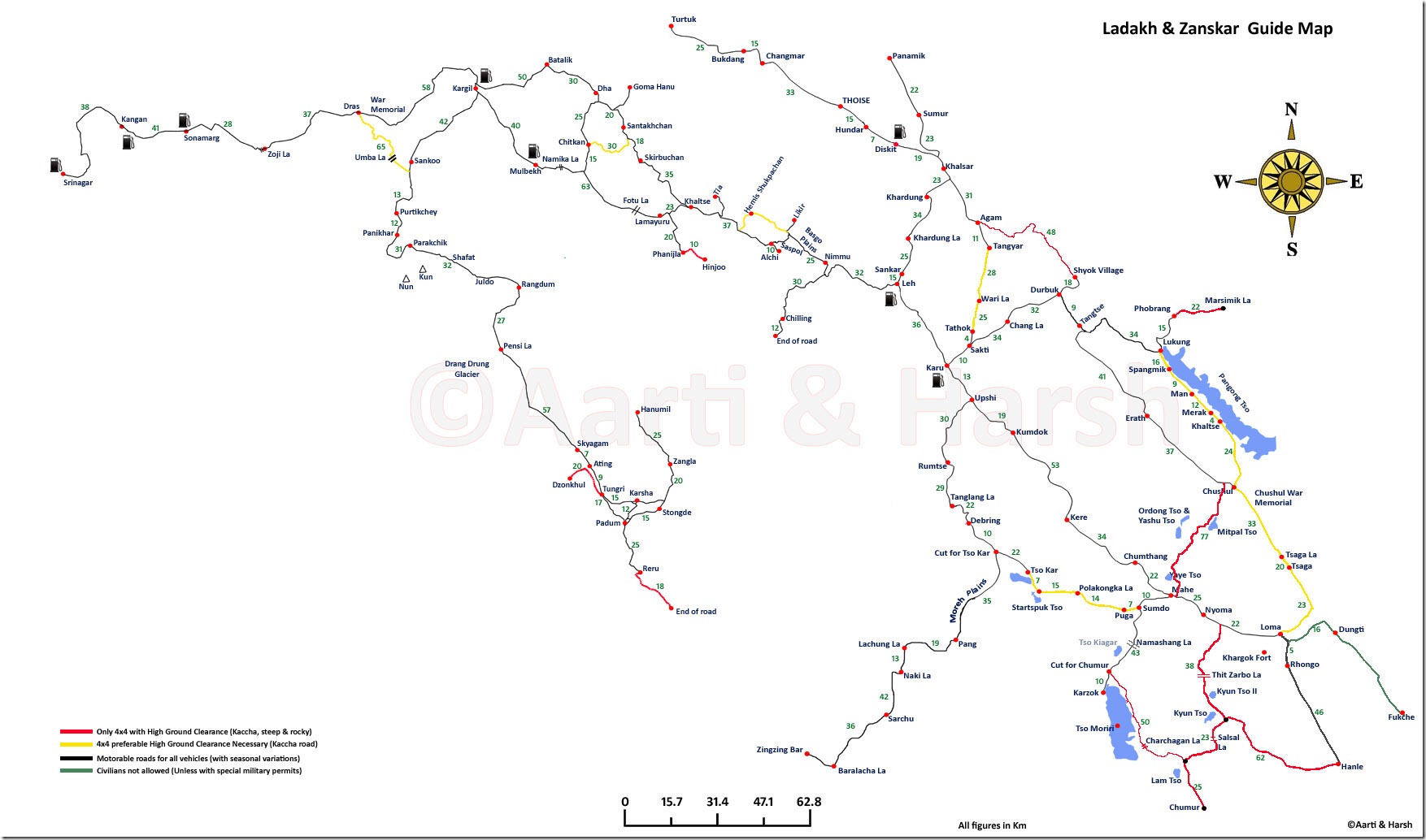
The map Harsh and Aarti had prepared is simply invaluable and to my knowledge the best map that is available for anyone wants to visit this area. Please refer to the map below to understand the route plan properly. Thanks Harsh and Aarti again for this wonderful effort and you were the inspiration of our trip.

Harsh_Ladakh_Zanskar Map

Few Highlights before we start the detail of the trip:

Dal Lake, Srinagar:

DSC_0046

The Rainbow:

DSC_0068

Entering the Suru Valley, Zanskar

DSC_0261

First Ray of Sun on Mt. Nun

DSC_0291

Zanskar River takes Horse Shoe Bend near Padum

DSC_0623

Amazing Drang Drung Glacier:

DSC_0849

Typical Zanskar Grassland :

DSC_0885

Kargil:

DSC_0931

Shanti Stupa, Leh

DSC_10105

Shyok (The River of Death) near Nubra:

DSC_10179

Hundar – Reflections

DSC_10255

Beautiful Fall Colors near Shakti

DSC_20125

Magic Lake, Pangong Tso, no introduction needed:

DSC_20280 DSC_20282

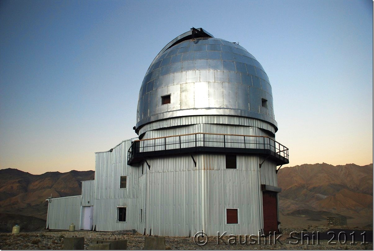
Hanle Observatory of Indian Institute of Astro Physics:

 DSC_20682

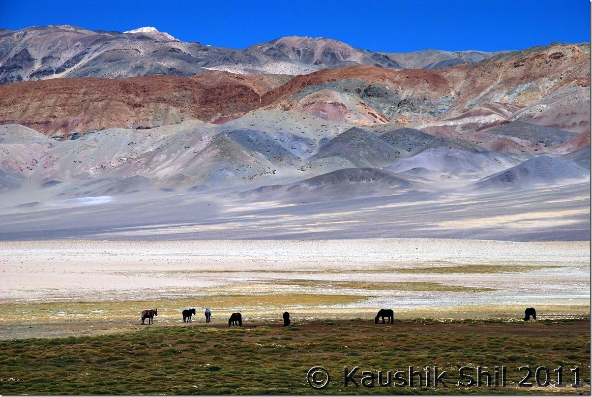
Unbelievable colors of Mountains near Demchok – The mountains you see are Line of Actual Control with China (Other side Ngari, Tibet)

DSC_20795

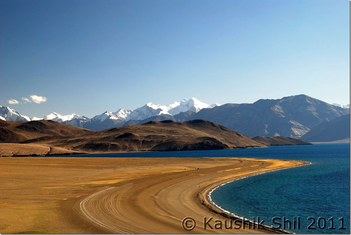
Tsomoriri :

DSC_30078

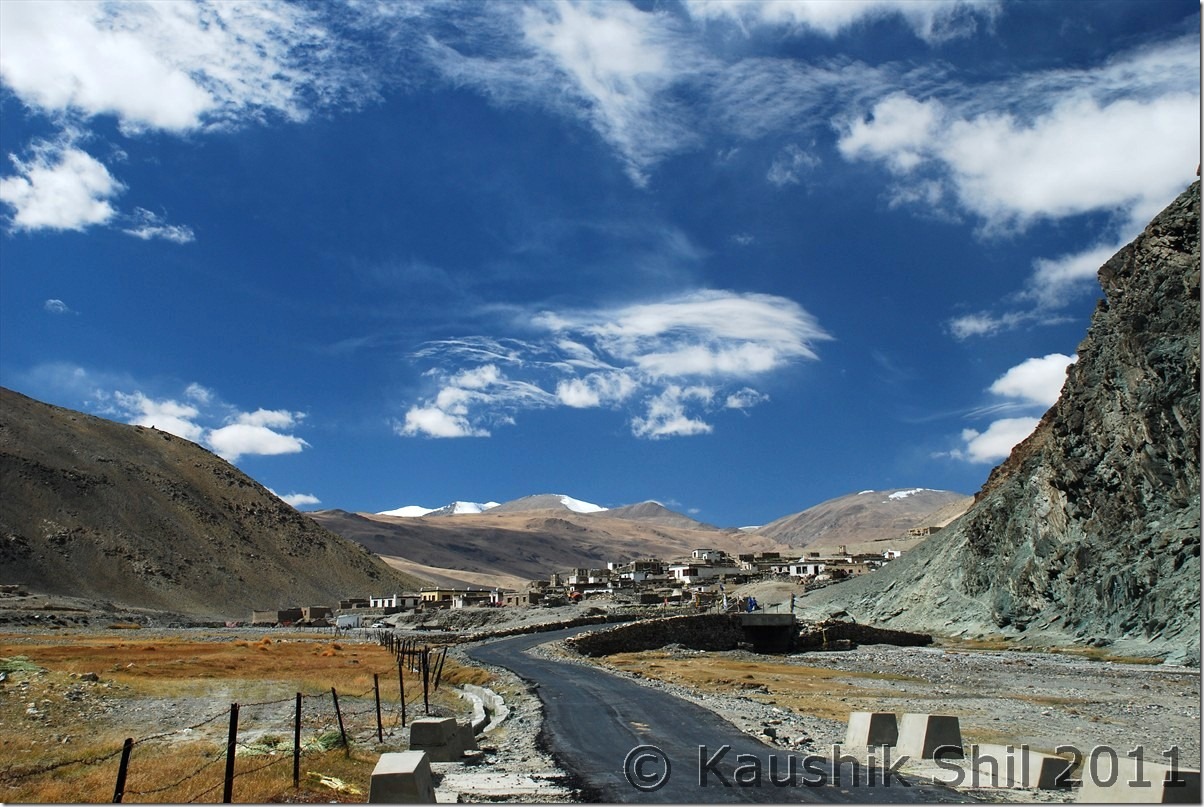
Dramatic Sky at Sumdo:

DSC_30160

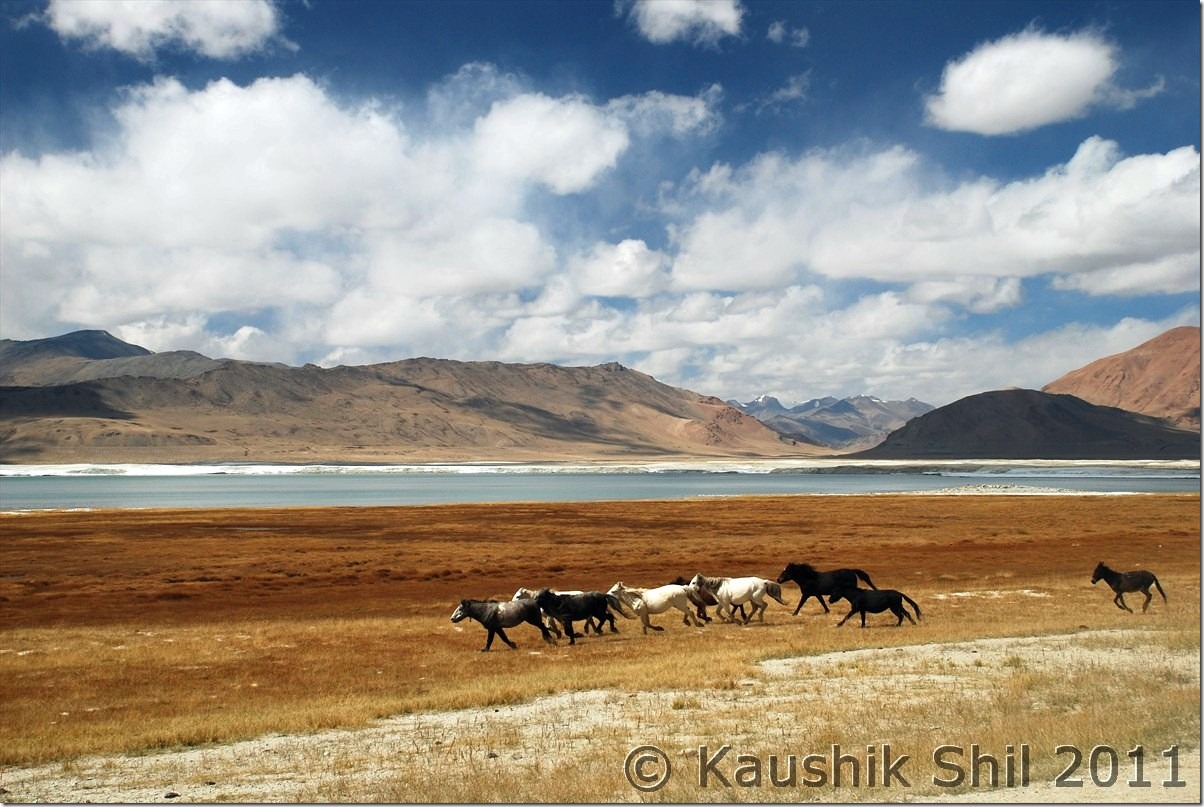
Wild Horses running in the backdrop of Tso Kar:

DSC_30183

Return Flight from Leh to Delhi was a Trans Himalayan Flight, the vista below is beyond any word:

DSC_30372

Next: Ladakh – Srinagar, Sonmarg, Jojila, Kargil and entering Suru and Zanskar Valley

Amazing Arunachal – Back to Tinsukia via Along, the Journey Ends

Day 19:

This day was actually the start of our return journey and for next 4 subsequent days we would keep returning via Jengging, Along, Shilapathar, Dibrugarh and Kolkata.

First stop was again back at Jengging but we knew the road conditions very well and thought of starting early by 6.00 in morning. We had a tough time in Tuting to find diesel as there was not much electricity available in these places during winter (due to low water level in Siang and these places depend mainly on Hydro Electric) diesels were very costly as they used in generators locally and used for local jeeps / cars etc. Somehow from a Bengali shop keeper we managed to get 15 Ltrs of Diesel and that was enough for us to reach up to Jengging. We took our late breakfast / early lunch at Migging as we knew for next 100 km we would have nothing to eat. Siang as usual was following us, this time in left and we took relatively fewer stops as we wanted to explore Gandhi bridge in Moying. We found the locals here still were hunting small animals, birds with their guns (everyone in Arunachal is having gun license), they are really sharp shooters even from a young age. We reached Moying around 3 in afternoon and tried to explore the 2 km downwards towards the river. This was again a no road and we somehow managed to reach the point and had a walk on Gandhi Bridge. Though again a similar kind of suspension foot bridge but certainly it is much better built than other such bridges we encountered. We could this time spot the Yingkiong town very clearly just in opposite side of the Siang. The ferry was running regularly carrying the jeeps and people. There is regular Jeep services between Tuting and Yingkiong, those cross Siang regularly from this point. From Yingkiong there is Shared Sumo service available for both Along and Pasighat. We spent quite sometime in Moying and so when we finally reached Jengging, it was already evening but our caretaker was so kind he arranged for Cha and Pakoda which was really required after such a tiring day. We enjoyed the dinner too and retired for the day. This was our 2nd night in Jengging Circuit house, undoubtedly the best one I stayed if I consider location and warmth I received there.

Siang on the way back:

DSC_0891

Driving through the fog and mist:

DSC_0893

Siang still accompanying us:

DSC_0896 DSC_0898

Beautiful Landscapes: DSC_0901 DSC_0902

Ferry Service between Moying and Yingkiong across Siang: DSC_0908

Gandhi Bridge:

DSC_0910 DSC_0918

Yingkiong during Sunset: DSC_0929

Day 20:

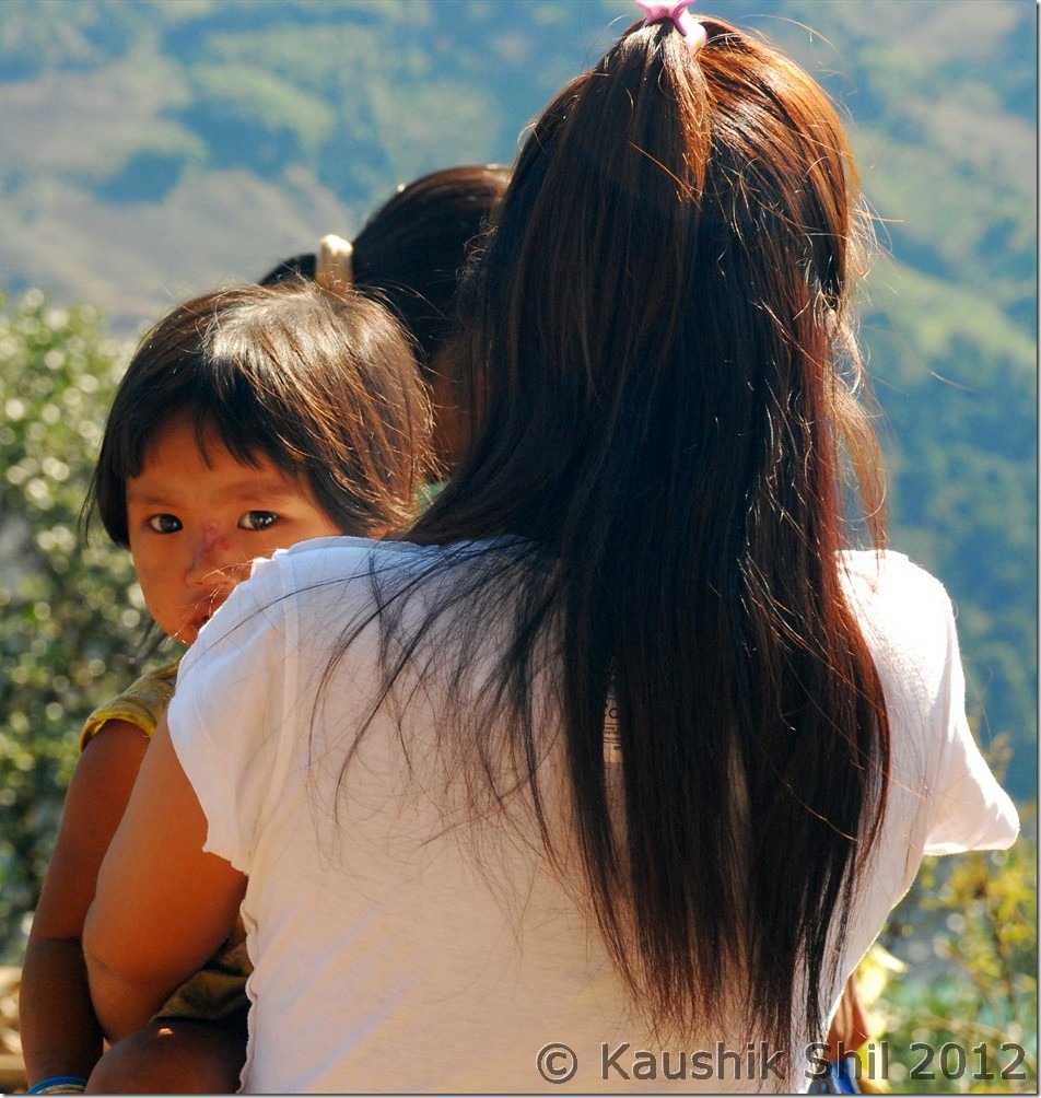
We started our day little late as we had just 130km to go to reach Along. We decided to break again at Along in the Circuit House. We were tracing back the same route but now for consecutive 4th day we were driving along with Siang and we still were finding it so exciting, feeling like taking snaps in every turn and bend of this mighty river. We took a tea break in 65 Miles again before proceeding further. There were lot of pretty faces and cute kids across the whole journey, especially in Siang side but they were too shy to pose for photographs. Whenever I asked for permission it was declined. When finally I got a chance to get a snap, you would see in below snap how the lady turned her back towards Camera. But anyway I got another cute face in the same snap We reached Along and checked into the circuit house around 3.00 in afternoon. We were very happy as the trip was almost over with no major hiccups and we completed whatever we planned to do and most importantly in Arunachal got at least 90% of our trip days absolutely cloudless and sunny. While discussing with Along Caretaker about next days plan, we suddenly realized that we had a tough day ahead as we had to cross ferry at Shilapathar and ferry service might get irregular after 1.00pm. Also each ferry could take just 3 cars, so we might have to wait long there in queue for our turn. The road till Bame was bad we knew and even it was worse till Bashar and some further ahead would make it some 8 hours to reach Shilapathar Ferry ghat. We didn’t want to take any chance as we had a flight booked for next day, so we decided to start as early as 3.00 in morning. This was little surprising as we didn’t think that this might be so early a journey in a winter morning that could be very bad with fogs and mists.

Sun Rise in Jengging – See the mist on Siang behind:

DSC_0933 DSC_0935

It’s the time to say good bye to Siang:

DSC_0947 DSC_0957

They are not so camera friendly :

DSC_0948

Day 21:

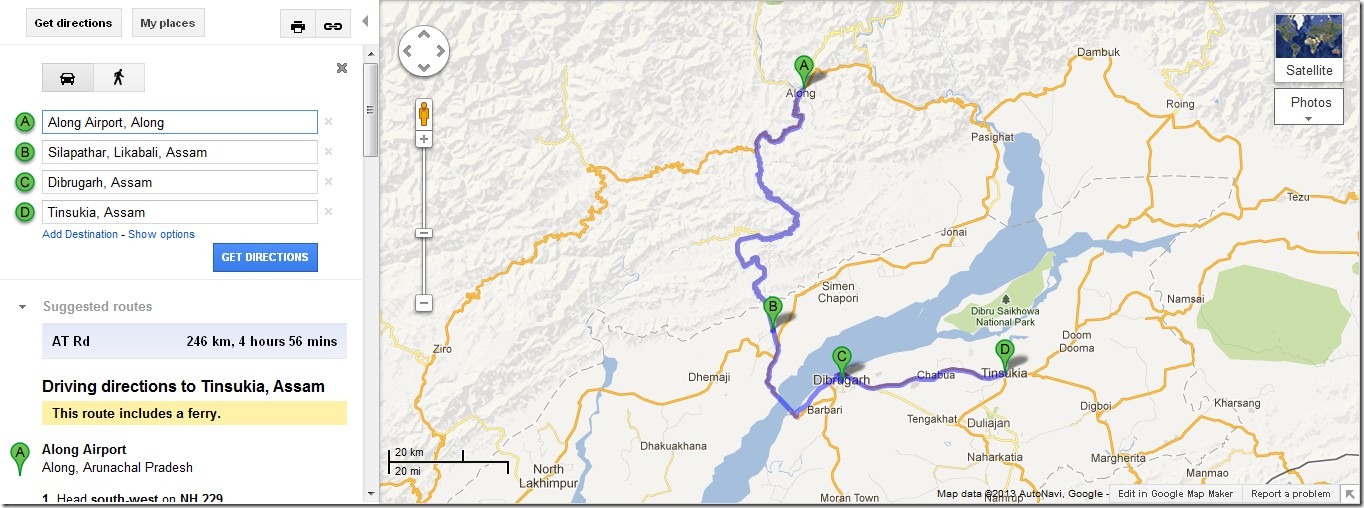
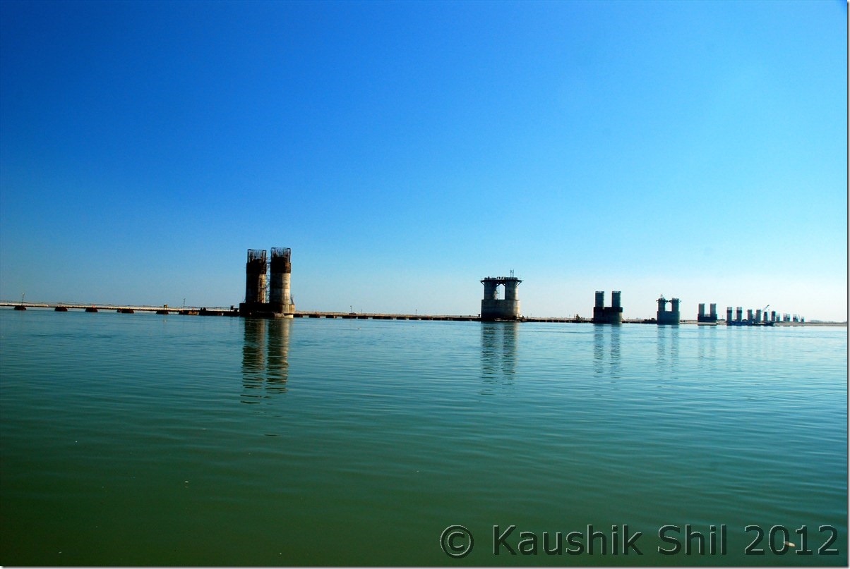
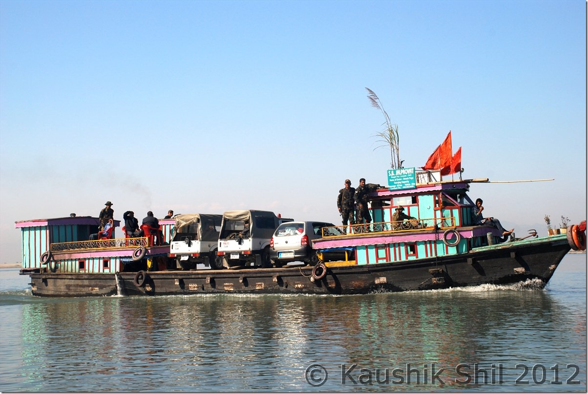
We started the day at 3.00 in the morning sharp but it was really a scary journey in a foggy late night with poor visibility. We all were feeling sleepy too. Anyway we drove till Bame where fortunately got a shop opened, had few cups of tea and kept ourselves a little warmer we started again and morning sun started showing its first rays when we just crossed Bashar. We finally reached Likabali gate and Ashim made the entry in check gate as we were leaving Arunachal finally for this trip. We reached Silapathar around 11.00 am and found we are in queue and could get a ferry of 12.45 only. It cost Rs. 800 per car to cross but now after being in hill for 3 weeks started taking its toll. We started feeling irritable heat of Assam and decided not to wait at river banks for 2 more hours. Little bit of search yielded results as we were offered to take the ferry to cross in just double price @1500 for the car. We negotiated further down to 1200 and then started for Dibrugarh. The half done Bogibil bridge would be on one side and it’s difficult to tell when that would finally be completed. There was no bridge connectivity in Upper Assam after Tezpur to cross over Brahmaputra. We crossed the river in around an hour and then on the other side again a long drive of almost 25km brought us to Dibrugarh. First thing we did was to do a car wash, the owner probably would have been shocked, if he could see his brand new car after a 15 days trip in Central Arunachal. After that we started for Tinsukia, another 50km road journey through nice tea estates. We reached Tinsukia and checked in to Hotel Mayur Jyoti, the same hotel where we stayed in our last trip in 2010. That was our last night of the trip and we had a dinner invitation at Ashim’s place. Enjoyed the evening with his family and had a great dinner but we were very tired as we started our day around 3.00 in the morning on that day. Fortunately we had an afternoon flight from Dibrugarh on next day, though it was preponed by an hour but we would still had enough time in our hand to do packing next morning.

The driving distances for the day:

994 – Along
039 – Bame
050 – Basar
134 – Likabali Check Gate
145 – Shilapathar
150 – Meet NH52A at Akaijan
171 – Shilapathar Ferry Ghat
195 – Dibrugarh
250 – Tinsukia

The Journey Map of the Day : Along to Tinsukia

Along_Tinsukia

Mighty Brahmaputra and unfinished Bogibil Bridge:

DSC_0969

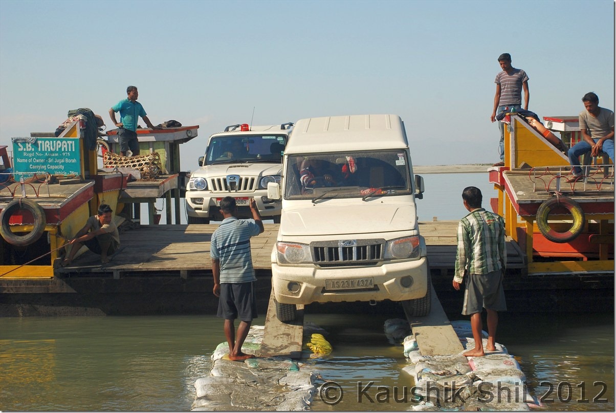
Crossing Brahmaputra on Ferry:

DSC_0975 DSC_0978

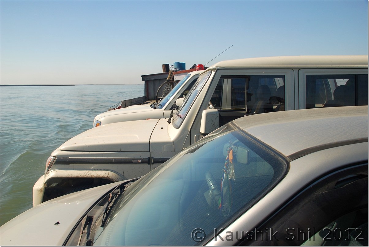
This needs some driving skill:

DSC_0981

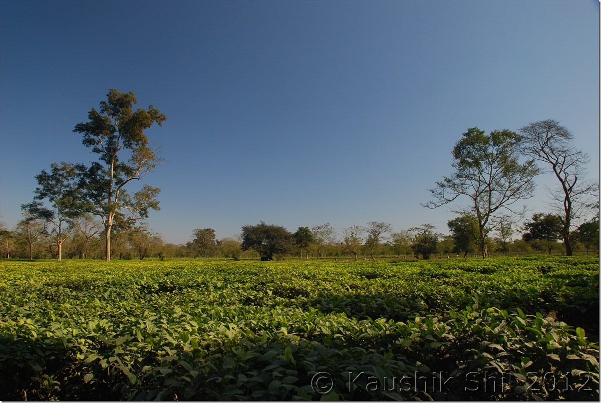
Lot of Tea Estates between Dibrugarh and Tinsukia:

DSC_0982

Day 22 :

Nothing much to write about the day, Ashim was in time and we packed, had our lunch and left for airport sufficiently ahead of time. Indigo, usually very punctual, took us to Kolkata before the sunset and what a trip it was, my dream of covering whole Arunachal was almost done except few places in Upper Dibang Valley like Anini and North Eastern most Tirap. I would surely be back to these places again as this is one of my most favourite destinations in India just because it is still so unexplored and non-commercial with warm hearted people and awesome natural beauty.

Previous: Amazing Arunachal – Gelling Continued

The End

Amazing Arunachal – Gelling Continued

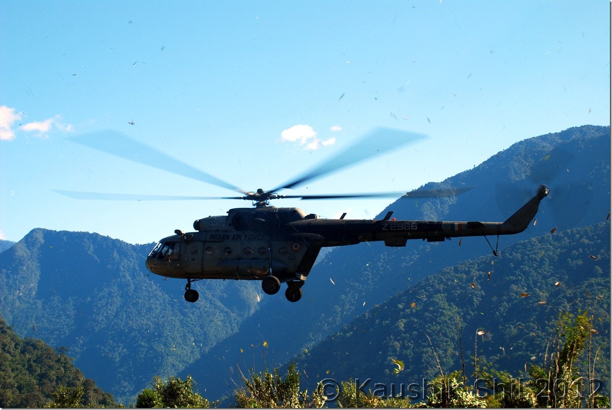
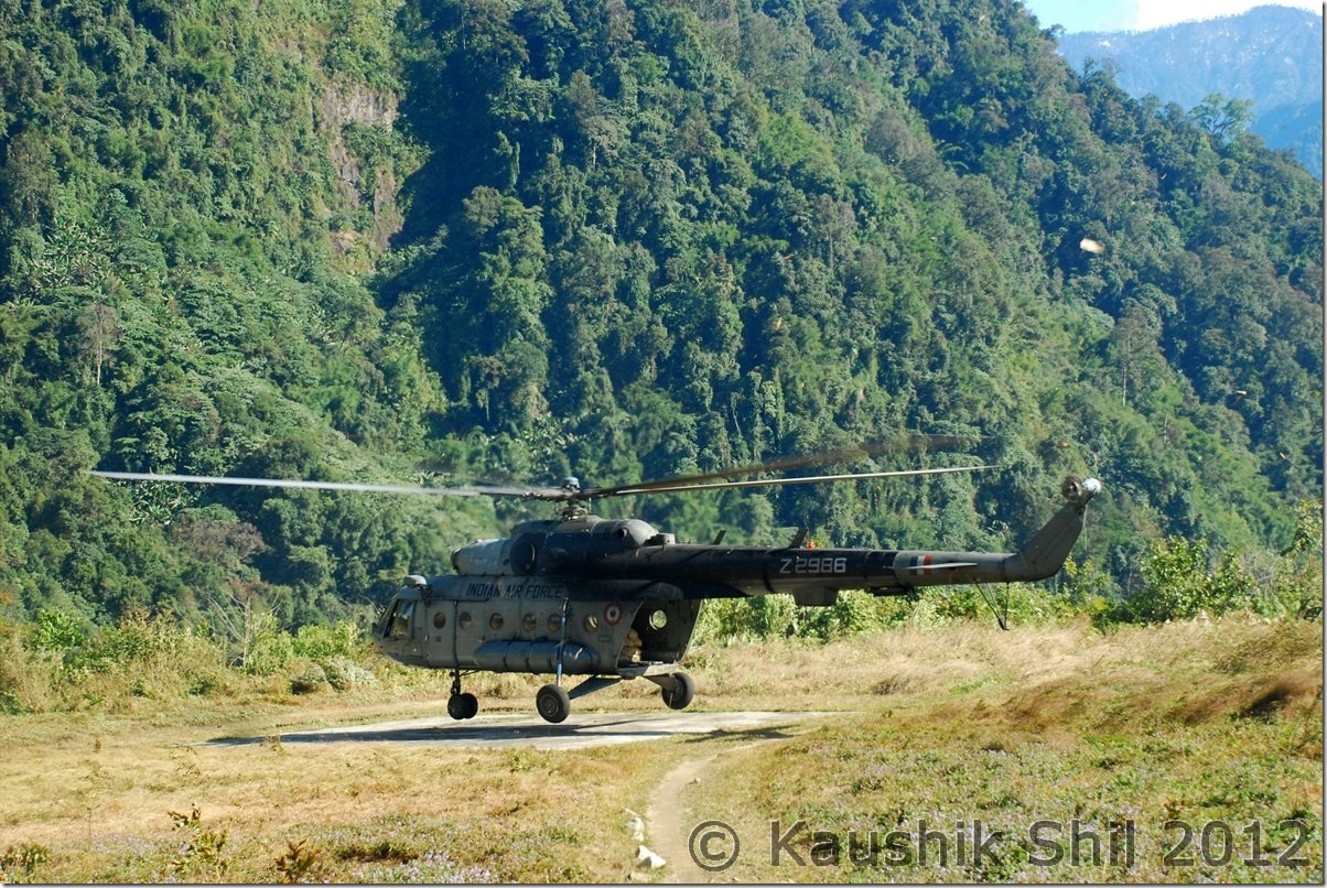
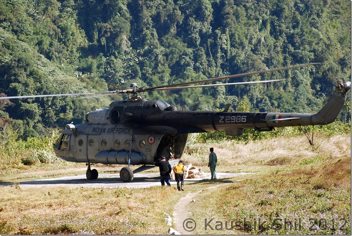
Indian Air Force Helicopter bringing weekly Rations for Locals:

DSC_0809 DSC_0812 DSC_0816

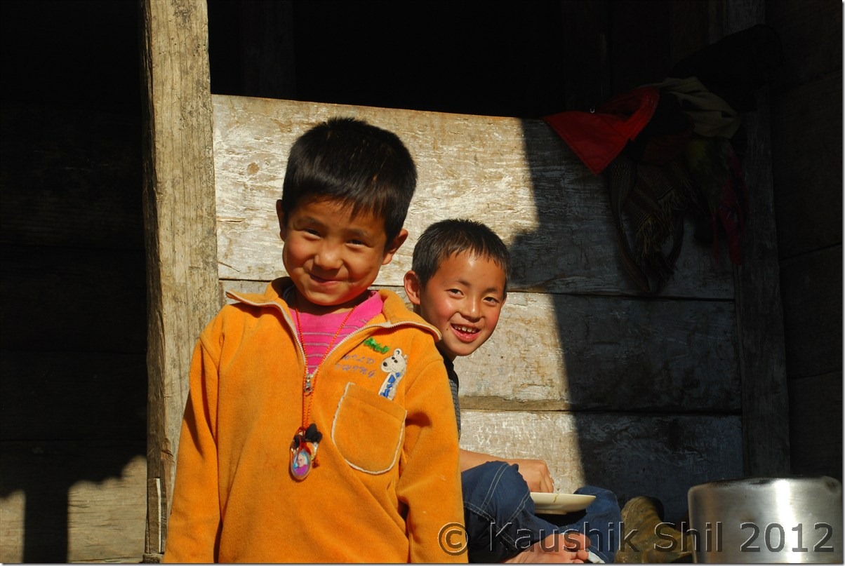
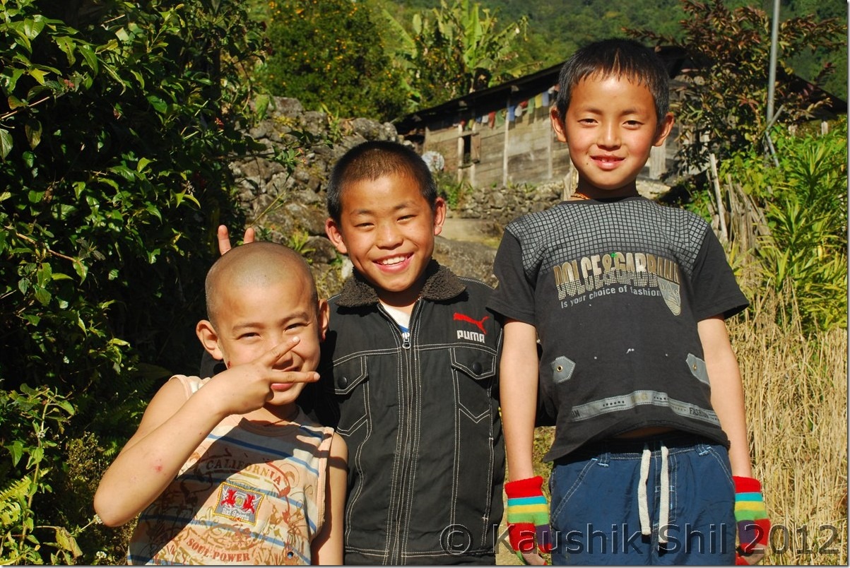
Glimpses of local heroes:

DSC_0831 DSC_0836 DSC_0837

Pretty Village of Gelling:

DSC_0839

Gelling Monastery:
DSC_0842

Lord Buddha in Gelling Monastery, looking angrily to the enemies (He was looking towards Tibet/China):

DSC_0843

The elderly local who told us the old stories of Gelling:

DSC_0853

Gelling Village, Ridge Behind is McMahan Line, mountains further are in Tibet / China:

DSC_0854

Gelling IB:

DSC_0857

ITBP Horse to take rations to more remote areas across the border:

DSC_0859

Young Lama:

DSC_0863

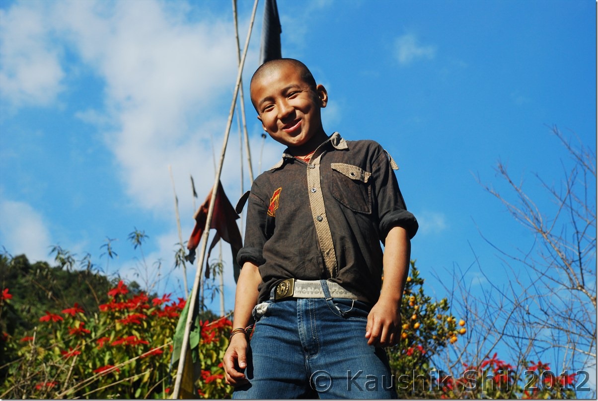
Local posing at the end of motorable road just ahead of McMahan line:

DSC_0865

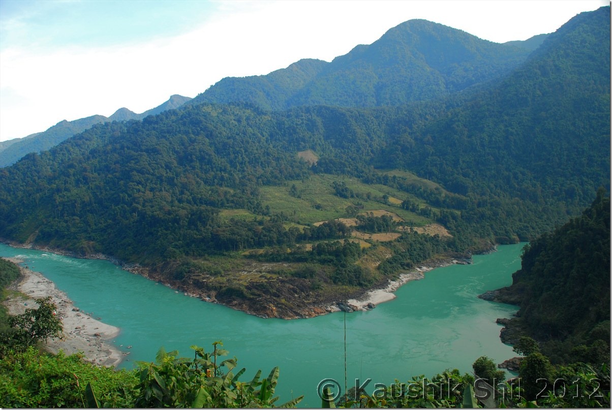
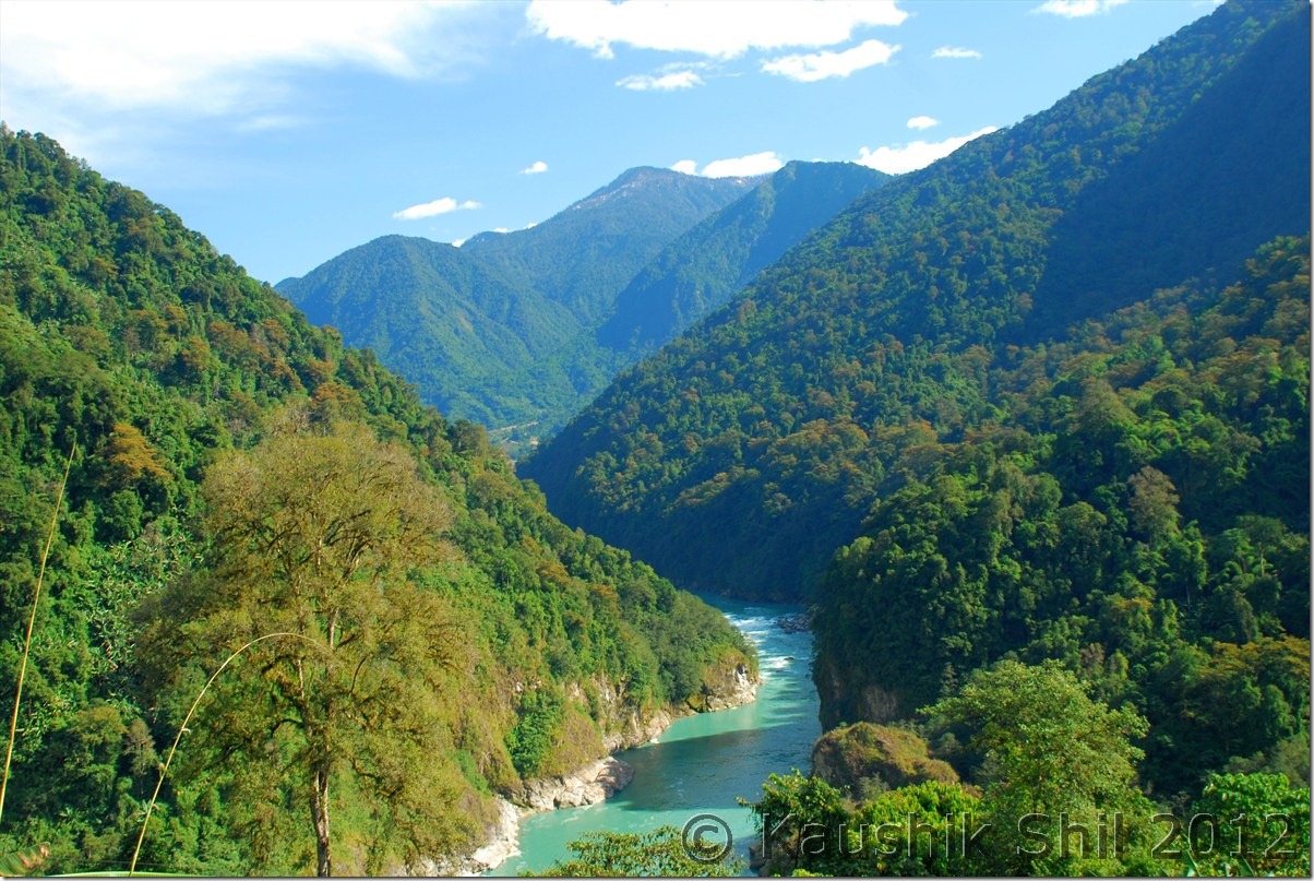
Siang Entering into Arunachal (India), in Tibet its named as Tsangpo:

DSC_0868

Tuting Monastery:
DSC_0885 DSC_0887

Cute Young Lama:

DSC_0888

Tuting Monastery Hostel:

DSC_0890

Previous: Amazing Arunachal – Journey to Tuting and Gelling

Next: Amazing Arunachal – Back to Tinsukia via Along, the Journey Ends

Amazing Arunachal – Journey to Tuting and Gelling

Day 17:

We started by 6.30 with our packed breakfast of roti and sabji and first look at Siang made us spellbound. As I mentioned Jengging is higher up and it looked like as if there was a layer of fog and mist someone carefully put just through out the Siang river basin. It was absolutely crystal clear with all snow peaks visible around but there was no trace of Siang river. It was completely covered in fog and mist. After a drive of 15km, the road suddenly turned into a no road condition. It looked like a sliding zone with proudly named as ‘Pagal Nala’ (not sure how many Pagal Nalas exist in India). The road condition in driest time of the year with no rain in last week suggested it was almost impassable during the heavy rains of Arunachal in monsoon. We crossed the section carefully and reached a big town called Moying. We had our breakfast in Moying, met a nice person from Ludhiana who spent almost his whole life there and married a local tribal woman and settled there. He told us this is the place where if we go down another 2km by side road we would get ferry to cross over Siang on boat with our car to Yingkiong. So that means Yingkiong is located just opposite to Moying but due to heavy fog and mist it was not at all visible. We also came to know that famous Gandhi bridge to cross over Siang by foot had to be approached from Moying only. We kept all these during our return leg as we had a long way to go before we could reach Tuting, another remote place where there was no available accommodation except the Inspection Bungalow. I booked this IB as well by speaking to ADC and CO of Tuting but somehow I thought of calling the number of the caretaker (Mr. Kombo) last afternoon from Jengging and that really made the difference. Anyway we kept going by the side of Siang and further 100km of drive from Moying took us to Migging which was again a small stopover with few tea stalls. We took a tea break and then started the worst part of the journey in terms of road. Road slowly got vanished after Migging as the scenery started getting better and better and further 65km of tiring drive took us finally to Tuting Inspection Bungalow. Now again a surprise, a local girl married to someone from Nagaland committed suicide and lot of her relatives came from villages around to Tuting and it was a mess. The IB was almost fully taken by them and CO / ADC was available there in Christmas Vacation. My yesterday’s call to Kombo finally did the trick, he managed us one room but again we had no room for Ashim to stay, though Mr. Kombo shared his own room for Ashim, Ashim preferred to sleep in lobby rather than sleeping in sharing room. This was a tough place for visitors with no electricity, no mobile network (Mobile networks work only for couple of hours during sunny days through solar energy), no hotels, no accommodation. We somehow managed to have a dinner made by cook in IB and retired for the day as next day we were about to touch McMahan line again in last village of India, called Gelling.

The driving distances for the day:
404 – Jengging
413 – Karko
428 – Gosang
439 – Moying
494 – Jumbo
519 – Mosing
540 – Migging
561 – Palsi
576 – Nigging
594 – Tuting IB

Clear Morning at Jengging:
DSC_0735

Fog and Mist over Siang Over – an awesome sight:

DSC_0736 DSC_0740

Yingkiong on other side of Siang rising from Fog Cover: DSC_0744

Scenic Moying: DSC_0746

Friendly Locals:

DSC_0747

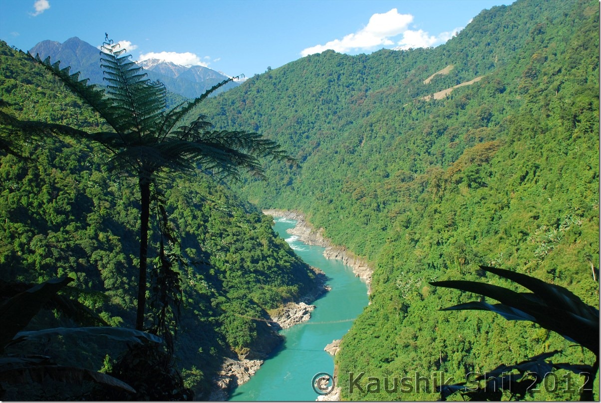
Siang at its best:

DSC_0749 DSC_0758 DSC_0760

Sunset at Tuting: DSC_0767

Day 18:

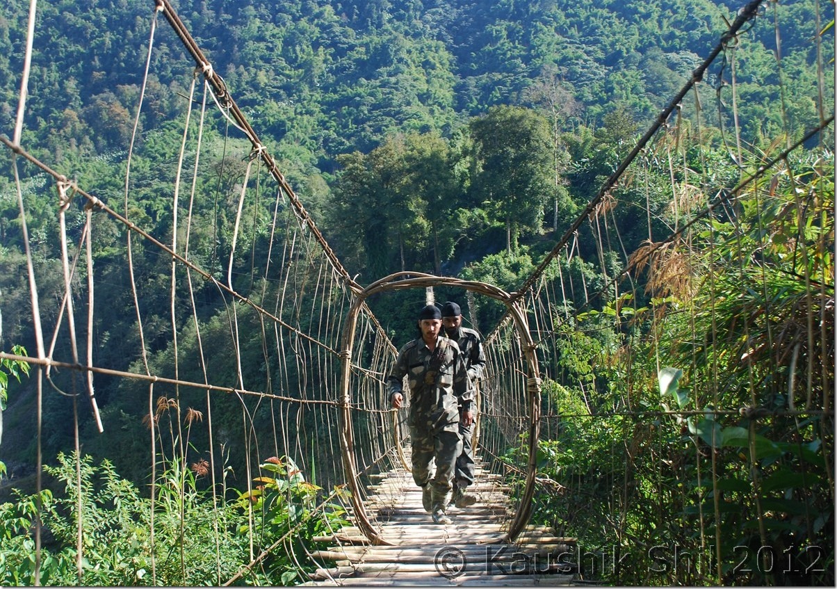
Our objective was to mainly explore Gelling, the last administrative circle and last village of Indian side across Line of Actual Control. We had a good breakfast and start our day around 9.00 in morning. It was a bright and sunny day and that way we were lucky, getting a bright day in this part of India is not that common. Gelling is around 30km from Tuting out of which first 15 km is pathetic and road was so uneven it was not even sufficient for the ground clearance of Bolero. Actually the road construction started from Gelling end and first 15km from that end was good. The scenery and landscape was dramatic with blue Siang flowing with all might and the lush green forests around that in the backdrop of snow covered peaks were making a fabulous frame. We found Indian Army was doing a practice of rock climbing in that area and just beside that we found another precariously hanging footbridge which was looking so scary but we still tried on it and gone almost till half way before it started swaying heavily and we returned from there. Finally after many stops to enjoy the vista, we reached Gelling around 10.30 in morning, what a calm and quiet the village was, it was very difficult to realize that this could be the head quarter of the whole administrative circle. Gelling looked so charming just on a ridge and the top of the same ridge was the border between India and Tibet which would be at max 3km and an uphill walk on the ridge would take an hour for locals, so it would be 2 hours for us for sure. In the mid way just a km inside border, we could spot our last ITBP Camp. There was a very nice Monastery on the top of Gelling and we walked up there, the lama was an old person and he narrated the old stories of the region. Before the English people divided it with McMahan line there were ten villages in the area. Once McMahan line was drawn, villages named Sirang, Mirging, Didung, Pongmo and Podum fell in Tibet side where as rest 5 villages, named as Kapu, Mayung, Mona, Bishing and Gelling were came to Indian side, still they could freely visit all the villages until China attacked India in 1962 and the border was completely sealed since then. They still have their older relatives in other side of the line which is again as close as 2/3km from the border but unfortunately they don’t have any communication now. In whole Tibet border across Arunachal starting from Zemithang to Kibithu, this is the place where probably you would find village closest to McMahan line in the both sides of border. The people in the village belong to Memba tribes who are Buddhist and they were very warm and welcoming. We were offered local foods and oranges along with tea in almost every house we came across in the village. Again like Mechuka and Zemithang, this is a place which is simply out of the world and probably my second closest visit to Tibet after 2011 trip to Demchok, Ladakh. Gelling was the last village in right bank of Siang, similarly Bishing was the last village in left bank which is connected from Gelling through a suspension foot bridge on Siang and locals take 3 hours to trek one side. Bishing is famous for its cascade waterfall which was even visible so far away from Gelling. From Bishing we heard this falls look awesome but unfortunately we didn’t have enough time to explore that. Also one could have a look at Kapangla Pass from there, the ancient trade route between India and Tibet which was operational till 1962. It was so nice, next time I would surely keep one or two full days in Gelling to explore these places more thoroughly. Gelling also has an Inspection Bungalow where one can stay but staying so close to border is always little tricky as you would find most of the times the GH was occupied by some or other army / ITBP officers. We started our return journey towards Tuting and visited Tuting new Monastery which was administered from Tibetan center of Bylakupe in Karnataka and also the Tuting Town. If you love trekking, Tuting is a place you would love to stay for long. There are few treks which originated from Tuting, one goes towards Tsitapuri via Singha, I had seen some photographs of this region and it could give valley of flowers a run for its money, so wonderful the glacial lakes and flowers you would see in right season. Also this region is named as Pemako region, one of the most sacred places for Adi, Memba, Mishmi tribes who are Buddhist by religion. They believe these places are still full of treasures / scripts by Lord Rinpoche and Guru Padma Sambhaba. Upper Siang district website might give you a better snapshot of what all treks are available in this region and in which season. We came back to IB and today we had more chaotic ambience with more locals in the IB, we somehow managed to stay the night and cook was really kind enough to arrange for our dinners and served it in right time in the middle of such a huge chaos.
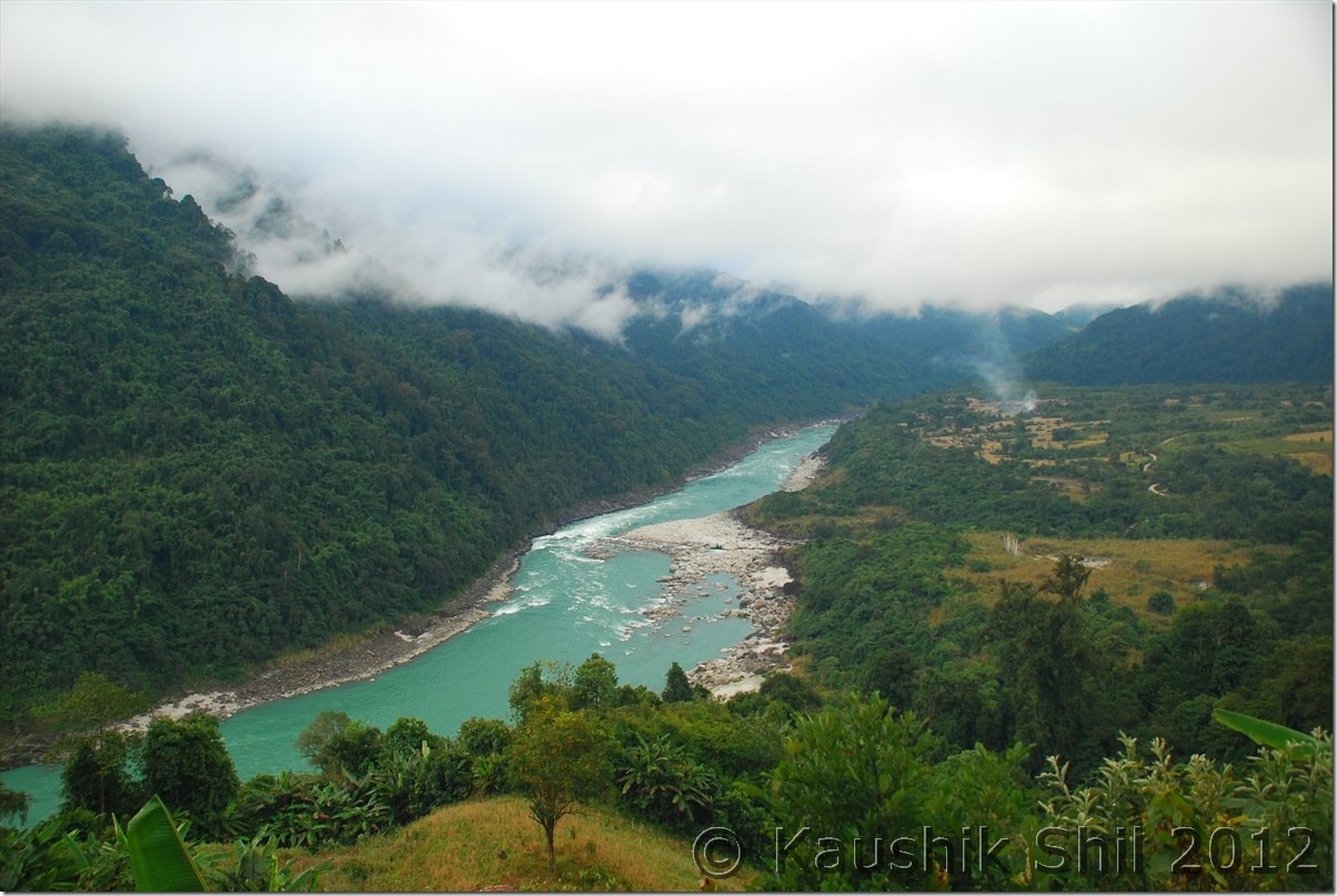
For more details of treks start from Tuting visit:

Upper Siang » Places of Interest

Nicely located Tuting IB:

DSC_0770 DSC_0780

Picturesque Tuting:

DSC_0776

Siang Again:

DSC_0785

Indian Army crossing a suspension foot bridge on Siang:

DSC_0793

Closing to the Border:

DSC_0795

Gelling where the road ends:

DSC_0798

Gelling Village, Top of the ridge is McMahan line, other side is Tibet:

DSC_0800

Previous: Amazing Arunachal – Back to Along and Journey to Jengging

Next: Amazing Arunachal – Gelling Continued

Amazing Arunachal – Back to Along and Journey to Jengging

Day 15:

It was time say good bye to Mechuka, we really wanted to stay one more day and booked IB accordingly but then again we had to slog in some other section of road as our plan was to visit Gelling, the last Indian Village before McMahan line in Upper Siang District. We retraced back the same route via Tato to Along and this time the weather was much better and sunny and we enjoyed photography through out the journey. In a relatively eventless day, we reached Mechuka well before dusk around 2.00pm and again checked in into Along Circuit House. We did some shopping in the evening as Along had quite big a market and most of the shops were selling at wholesaler’s price. We restocked ourselves and also the fuel before we started our journey through Siang on next day. Tuting would be the destination but it was almost 320km from Along and almost impossible to drive in a day. So we decided to stay at Jengging for a night in both our up and down journey.

That day some people broken down the BSNL towers in Along and the only connection to outside world (After Ziro onwards we didn’t get any mobile signal except BSNL) was snapped. Couldn’t even call home and failed to reach the CO of Jengging as well to reconfirm our stay there in Circuit House. We had a nice dinner in Circuit House and planned to start as early as possible on next day towards Jengging.

Journey Map from Along to Tuting by Jengging:

Along_Tuting

On the way from Mechuka to Tato:

DSC_0650 DSC_0653

Mists all over the Siyom Gorge:

 DSC_0654

The streams beside the road:

DSC_0657

Some Butterfly shots:

DSC_0664

Siyom flowing through the deep gorge:

DSC_0669 DSC_0670

Siyom Valley:

DSC_0678

Siyom taking a big turn:

DSC_0685

The Bridge over Siyom:

DSC_0686

Day 16:

Jengging is only around 130km away from Along, so we didn’t have much hurry to start the day. We had our breakfast and started the day around 9.00 in morning. The road initially went by the side of Siyom river and the road condition was worsened as we were moving away from Along. It was a nice drive through the relatively traffic less road with we being the only car traveling. We stopped in couple of the places and took the photographs as the Siyom valley was changing colors in every turn. After a drive of 16km from Along, the straight road was continuing towards Yingkiong, district capital of Upper Siyang District where as the right turn would take you would towards Pasighat. As we heard from locals, the road widening activities were going on between Along and Pasighat stretch and the condition was pathetic. We continued straight for another 30 km crossing one more small village called Panging before we crossed an iron bridge over Siyom and just while crossing it we found the place where Siyom was meeting Siyang. That was a splendid moment to have a dream come true, first view of mighty Siang. Siang, actually originated from Manas Sarovar, flowing eastwards covering a lot of lands in Tibet, known as Tsangpo, created a deep gorge (Known as deepest gorge in world as ‘Tsangpo Gorge’) and took almost a U turn near Namchabarwa (one of mightiest peak of Eastern Himalayas) to become south bound and enter into Arunachal Pradesh in India, named as Siang. This joined with Dibang and Lohit in Pasighat later forms mighty Brahmaputra river system in Assam before it enters into Bangladesh. It’s another dream for me to visit the origin of this great river system in Tibet if possible in future. The place where Siyom meets Siang is named as Boling. Now for rest of the journey till we touch McMahan line, Siang would always be with us as we drive through its right bank towards Jengging – Tuting. A further drive of 25 km up in North brought us to a place called Dite Dime, locally known as 65 miles (Probably because the distance between this place and along is around 65 miles). We took our tea break here, brought some of the cheapest and sweetest oranges we have ever bought in our lives. Here you would find the only motorable bridge so far built on Siang river, crossing the bridge and driving for another 53km would take you to district capital, Yingkiong. We proceeded straight as we wanted to visit Tuting and Gelling and further drive of 65km took us to Jengging, a relatively quieter town, on the right bank of Siang river. After you leave Along, the fuels were available in Boling and then in Jengging. After Jengging for next 220km up to last Indian road in Gelling, you won’t find any fuel station. So we did a tank full at Jengging and then started searching for the circuit house. There is no alternate accommodation at Jengging other than Govt Circuit house and it’s probably the best located Circuit house we have ever stayed in Arunachal, built at top most point of Jengging. The caretaker was a Nepali person and he was again the best host we had in our whole trip. We got VIP room there which was actually having separate drawing room, a bed room and a very nice attached toilet. The large windows in the room were overlooking the mountains and Siang river. All those cost us Rs. 50 a night, don’t think anything ever could be more value for money . We reached by 2.00pm comfortably there and stroll around Jengging enjoyed a nice sunset there. We were introduced with the officer in charge of local police station who brought his family to the circuit house to spend the lazy evening. He said the crime rate in Upper Siang is lowest among whole Arunachal and it was one of the most peaceful places he had ever got his posting. The food was also one of the best we have ever got in the whole trip. Even the next day as we had a long journey without any proper place to eat, he prepared roti / sabji for us by 6.00 in the morning (actually before sunrise in that cold). We enjoyed the day with overwhelming hospitality in Jengging and retired for the day mentally prepared for a challenging next day.
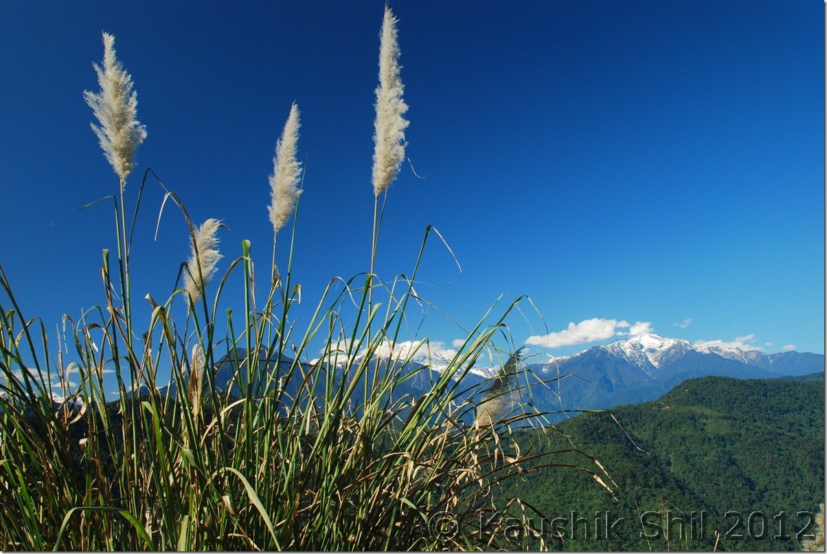
The driving distances for the day:

268 – Along
284 – Diversion to Pasighat
291 – Panging
314 – Boling
341 – Dite Dime (65 miles where the road bifurcates to Yingkiong at right)
363 – Riga
388 – Paksang
404 – Jengging

Siyom Valley from Along – Panging Road:

DSC_0690

The point where Siyom meets Siang (at far) :

DSC_0691

One of the many suspension foot bridges on Siang:

DSC_0694

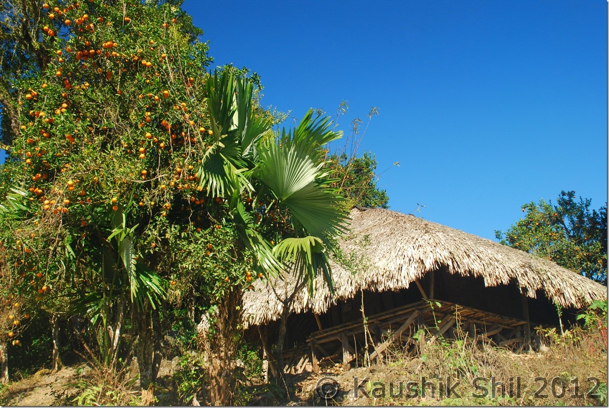
Oranges everywhere:

DSC_0699

Siang Basin:

DSC_0704

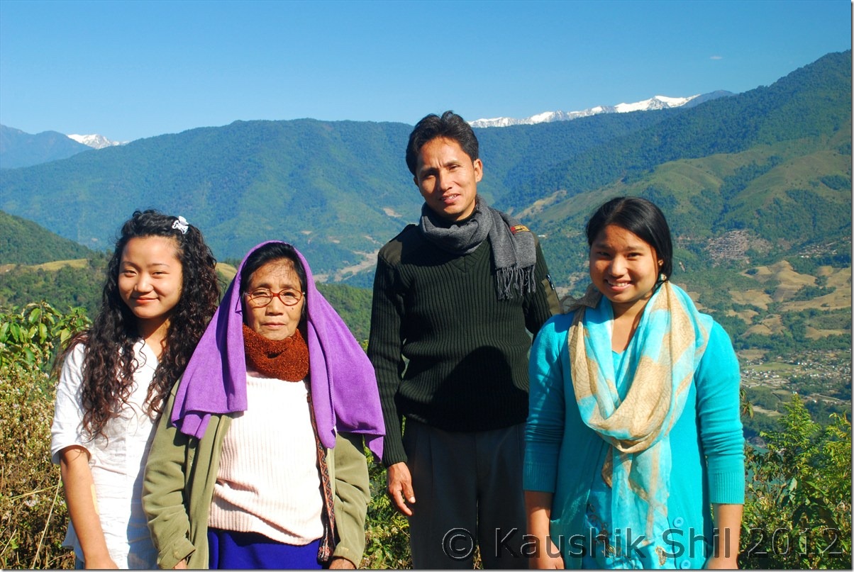
A local family going their village to celebrate Christmas:

DSC_0708

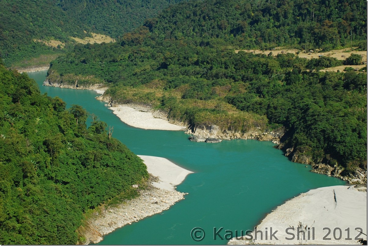
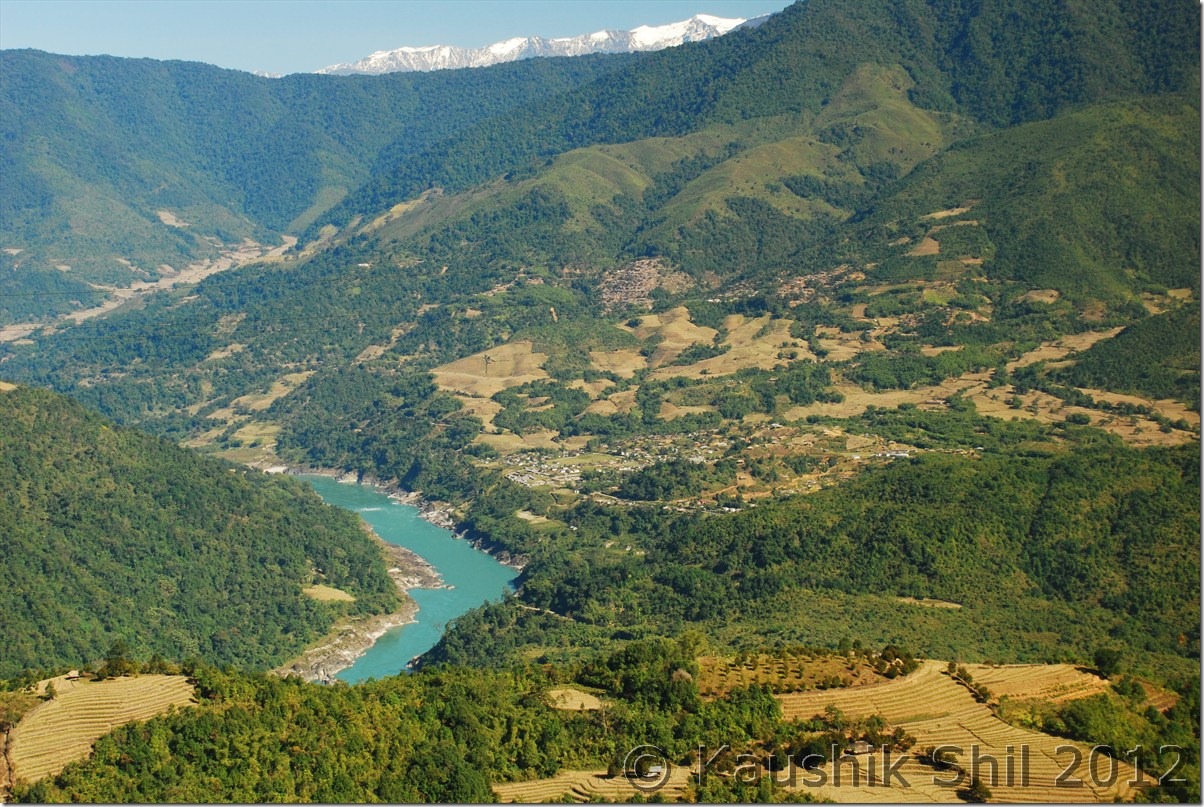
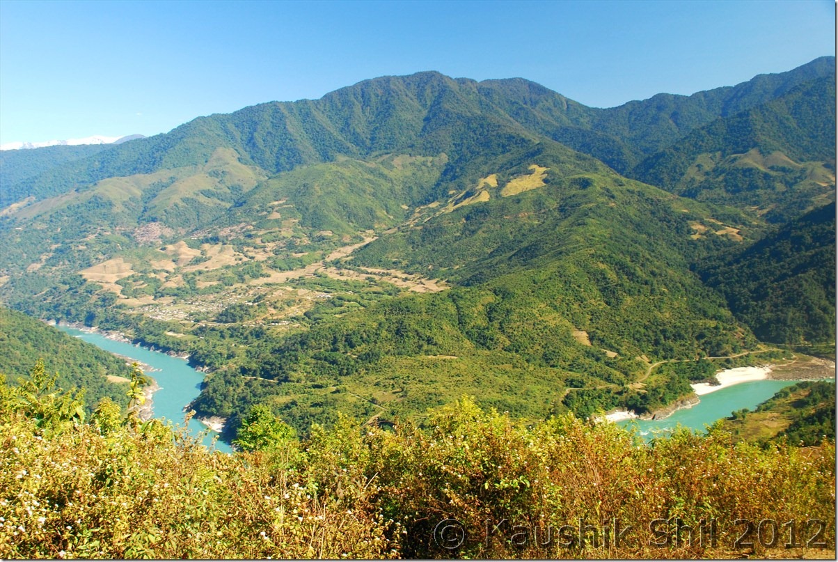
Siang takes a big turn:

DSC_0711

Beautiful Siang:

DSC_0714

Jengging Circuit House Room @ Rs. 50/-

DSC_0718 DSC_0719

Jengging Circuit House – Outside:

DSC_0720 DSC_0721

Sunset on snow peaks:

DSC_0728 DSC_0729

Previous: Amazing Arunachal – Mechuka Continued

Next: Amazing Arunachal – Journey to Tuting and Gelling

Amazing Arunachal – Mechuka Continued

Day 14 – Continued:

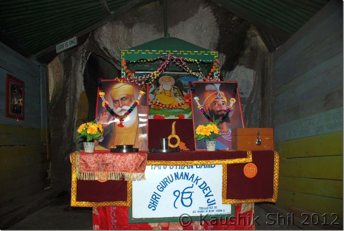
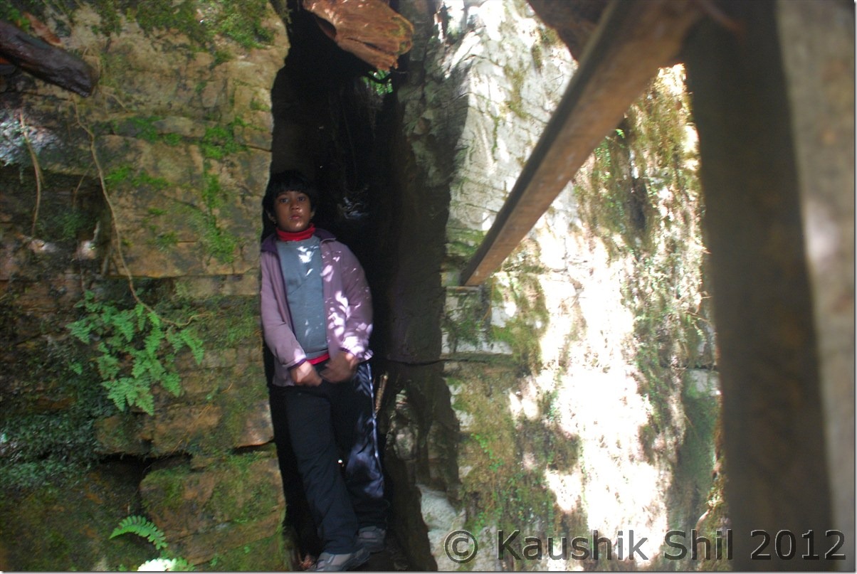
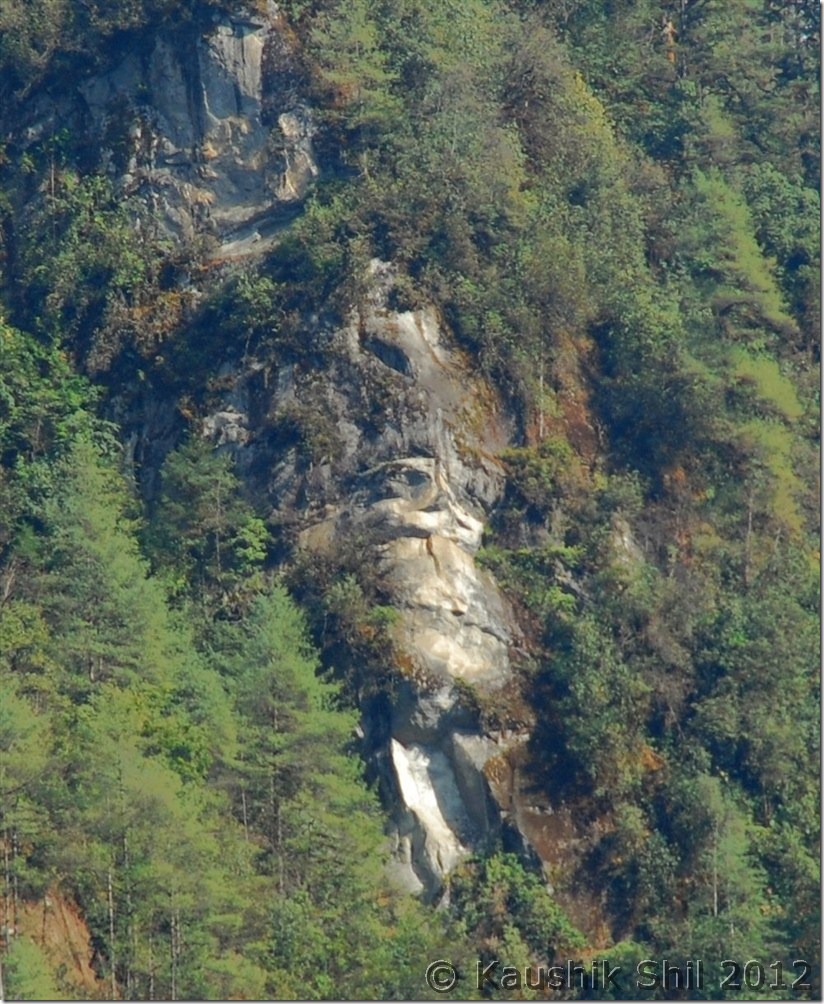
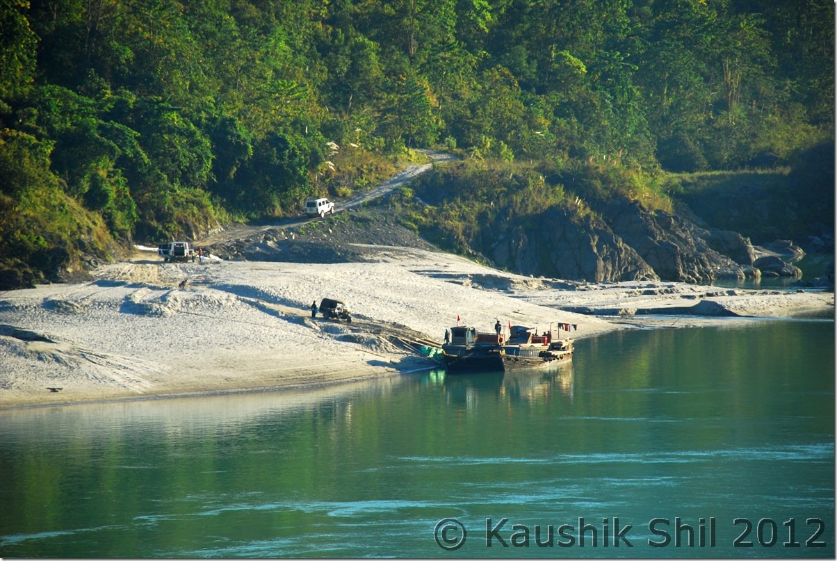
We proceeded further towards Yarlung and on the way found the Gurudwara in right and just before that in slightly left a temple built by Sikhs as they believe this was the place where Guru Nanak stayed while coming from Tibet and took bath in the river. That’s another very beautiful and quiet place to enjoy with nature all around. The road condition was deteriorating fast and the valley was narrowing down and we started climbing again. On the way we saw Hanuman Temple, built there in memory of a natural formation of Hanuman on the high hill just opposite to it. The natural architecture probably carved out by air erosion was looking simply beautiful. We reached till the point civilians are allowed at Yarlung. There are two posts side by side, first one is of Indian Army and next one is of ITBP, just a km apart and this is the last permanent camp of army before the McMahan Line. Lola Pass, the ancient trade route to Tibet. As I enquired it was still 25/30km from Yarlung and road connectivity is being built. We could see the Chinese controlled peaks/ ridges from there and army still had to patrol by 2 days of walking to the LAC. Tourists can take special permission from Mechuka ADC and Army/ITBP and go for these 2 days trek till border. We were given a very warm welcome by Army and we took our lunch with them, had nice chat. We saw mobile phones are kept in different open locations of hills and ridges, when asked about it, army clarified, those are the identified places where they only could have the signal and could speak to their family. They had to keep the phone on speaker as slight movement could disconnect the call. What a hard life these guys are managing especially in a place which is either rained or snowed out for 10 out of 12 months, my salutes to them!!
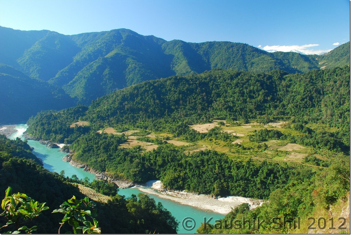
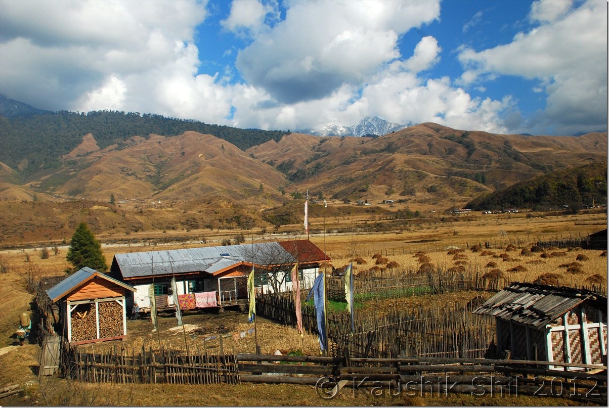
Mechuka – House with Prayer Flags:

DSC_0586

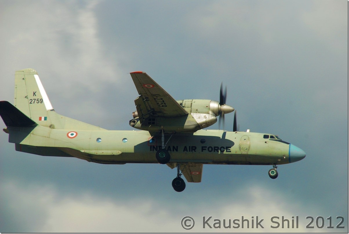
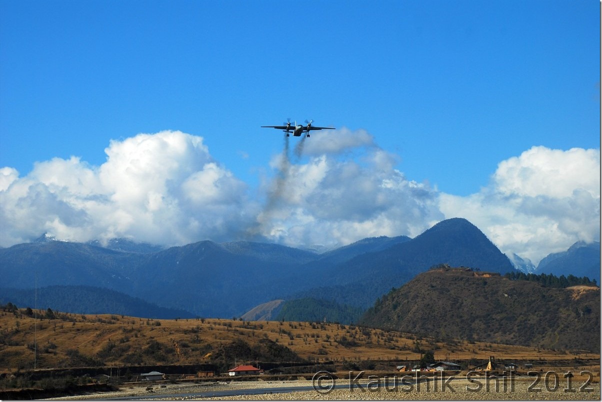
Indian Air Force just about to land:

DSC_0592

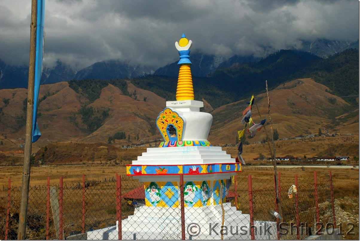
Stupa:

DSC_0597

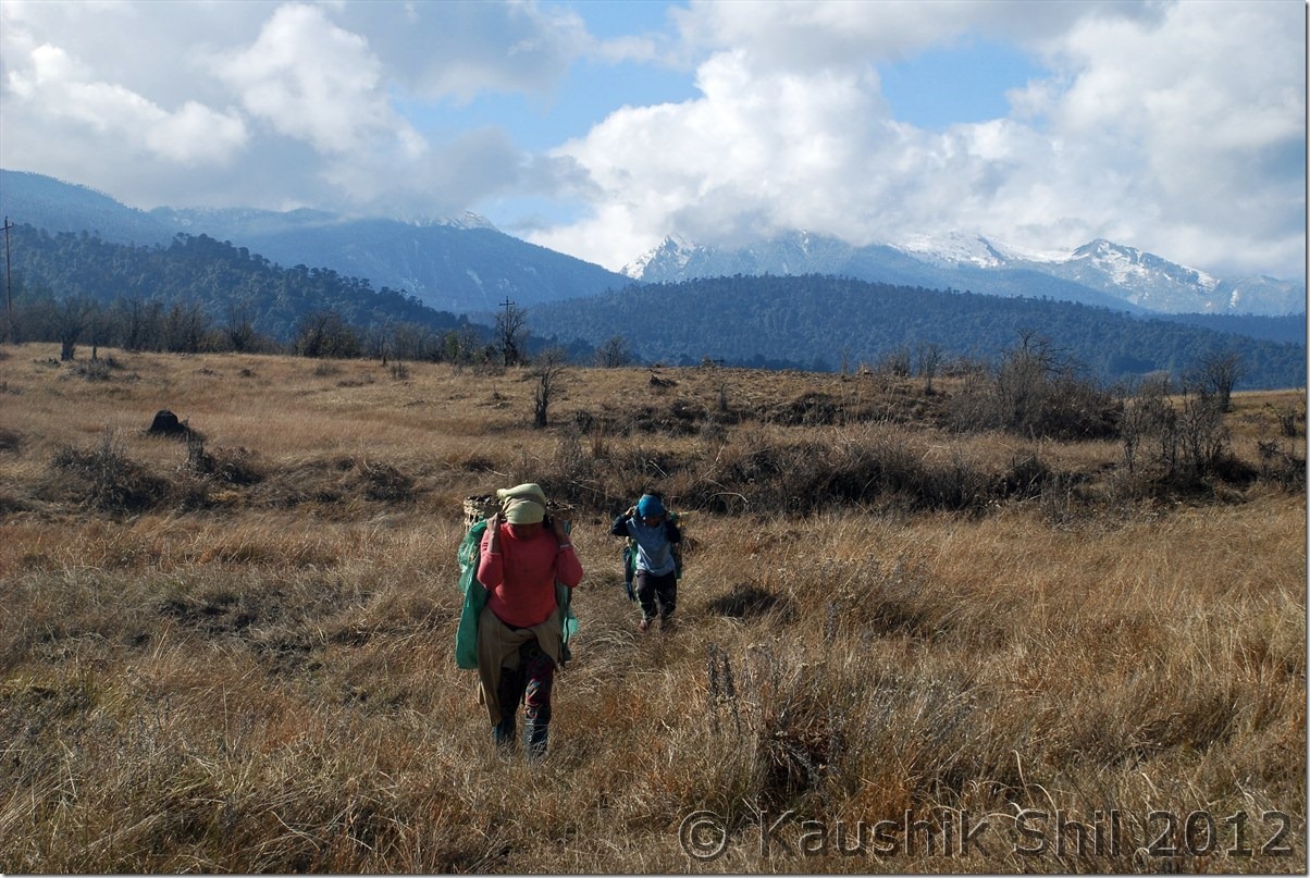
Mother and Son:

DSC_0598

Colorful Mechuka:

DSC_0599 DSC_0602

Gurdwara: DSC_0617

The hill that cracked to let Guru Nanak in, on his way to the river:

DSC_0621

Hanuman’s face inscribed in the rugged mountain, locals believe so:

DSC_0624

Indian Army – Unforgettable warmth we received there:

DSC_0625

We started our return journey towards Mechuka and again stopped number of times just being spellbound with the beauty of nature. We finally reached IB around 5 in evening and by that time it was dark outside. While coming back we started enquiring on the private accommodations available except the IB and Monastery GH as requested by Mithun. We found 2 hotels and out of those 2, the newer one, still being built by Gebu Sona was the best. I spoke to the person and his wife and they were very good hosts, my recommendation would be try his place if you ever be in Mechuka. Mithun recently stayed there for 4 days during his honeymoon trip and might tell us more on this place in his forthcoming log. Once we back in IB, we wanted to have just maggy as we had a late lunch but once Cook was informed that we wanted simply Maggy and Tea for the night, she refused to come, this was again surprising, in Daporijo at least we could eat something but that night in Mechuka we couldn’t change her mind even with repeated requests and finally had to bring some tea from outside and spent the night with dry foods. But whatever poor experience we had with IB, nature and its beauties compensated much more than that in Mechuka. We had another chilly night to spend and we did that comfortably. It was a full moon night but so cold it was outside in end December, it was almost impossible to take any night shots but the whole Mechuka was shining like a town made of silver. It was an awesome experience and sight which I would never forget.

The Driving Distances for the day:

022 – Mechuka IB
036 – Gurdwara
047 – Yarlung Army Camp
072 – Mechuka IB

The beautiful Mechuka in afternoon Sun during our return journey from Yarlung to Mechuka:

DSC_0630 DSC_0631

Note the New Monastery on Top of the left side Hill:

 DSC_0632 DSC_0634 DSC_0636

Evening approaching on Mechuka:

 DSC_0637

The Gebu Sona’s Hotel – Inside : The best accommodation as I have seen in Mechuka

DSC_0639

The same Hotel from outside:

DSC_0640

Mechuka’s snow covered peak in Moon Light:

DSC_0644

Moon Lit Mechuka IB:

DSC_0646

Previous: Amazing Arunachal – Mechuka

Next: Amazing Arunachal – Back to Along and Journey to Jengging

Amazing Arunachal – Mechuka

Day 14:

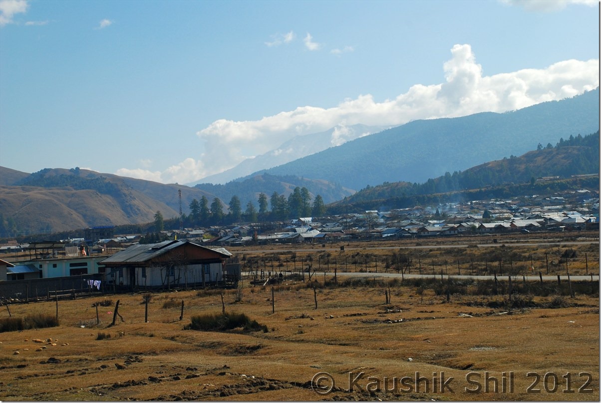
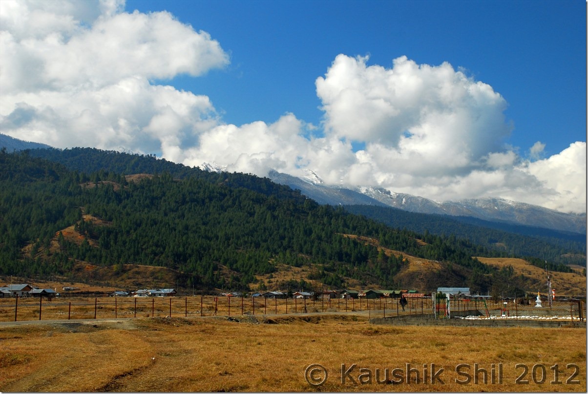
This was a very clear and sunny day as we prayed for in Mechuka. Just after getting out of IB, we saw this is a place very similar to a centrally located valley like Kashmir surrounded by high barren mountains of Ladakh. Last evening due to low visibility we couldn’t see the mountains and snow peaks so close to us but in morning everything was so clearly visible, we found snow peaks all around. Actually it snowed in Mechuka just 4/5 days back, so mountains with fresh snow was glittering in morning sun. The town was small but very nicely located with small huts, the river Si was flowing across the valley, with narrow wooden bridge was bearing the signature of Arunachal. This is one of the Advanced Landing Ground (ALG) of Indian Air force, so the runway separates the town in two parts with ALG located centrally. I enquired but at least then there was no regular flight / helicopter services for locals or tourists. It was solely used by IAF to monitor the remote borders and supply rations to the remote areas.
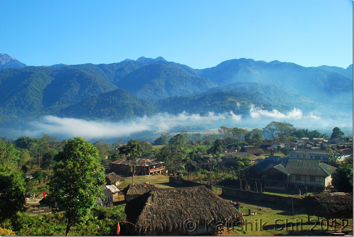
Morning in Mechuka:

DSC_0519

From IB, Mechuka:

DSC_0525

Front of IB, Mechuka:

DSC_0528

View of the town in backdrop of barren mountains:

DSC_0531

The Advanced Landing Ground of Indian Air Force:

DSC_0535 DSC_0536

Road towards Yarlung:

 DSC_0539

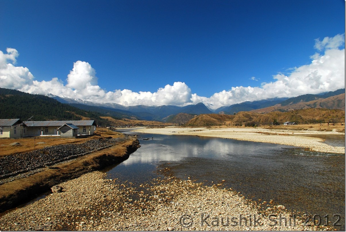
River Side:

DSC_0543

My kid was trying to cross the foot bridge with Ashim:

DSC_0544

Panoramic Mechuka:

DSC_0551

We had our breakfast and had the whole day in our disposal to roam around Mechuka. So we started around 8.30 in morning and first place to go was the river side, what a awesome place it was with that narrow bridge and snow peaks in backdrop. We spent some time to cross over that bridge and it really needed some courage to cross those bridge as those are almost broken in many places and you had to put your feet carefully and along with that it started swaying with slightest breeze, now the place was quite windy, so it would take us at least 20 mins to cross the bridge which actually could be crossed in 5 mins. There were villages in other side of the river too but all of them looked simply like painting on the mountains. Honestly I have seen very few places in my life that is more beautiful than Mechuka. We moved further had talks with new generations of Adi and Memba communities, and saw an IAF flight was landing in that short and narrow air strip, they were all amazing moments.
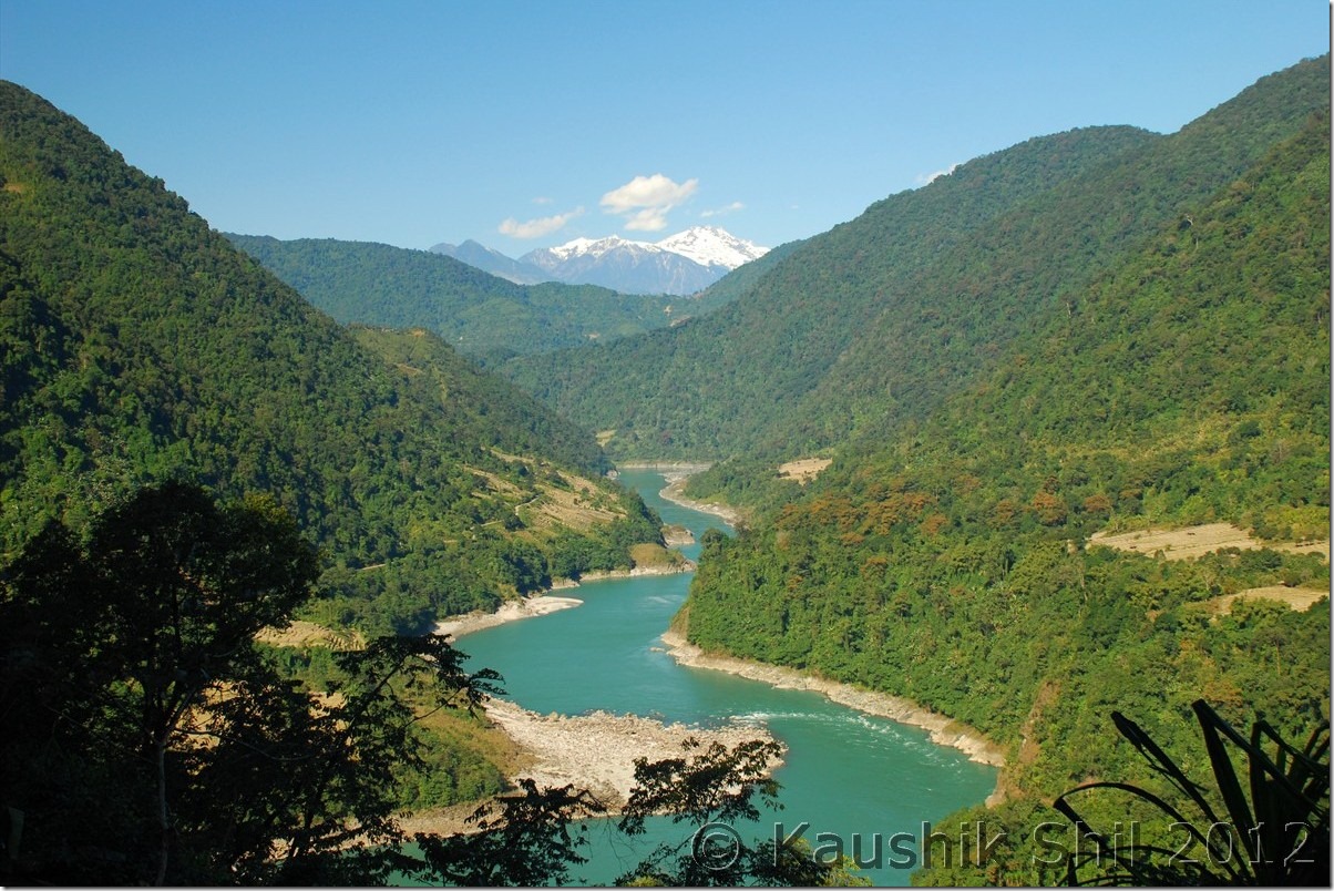
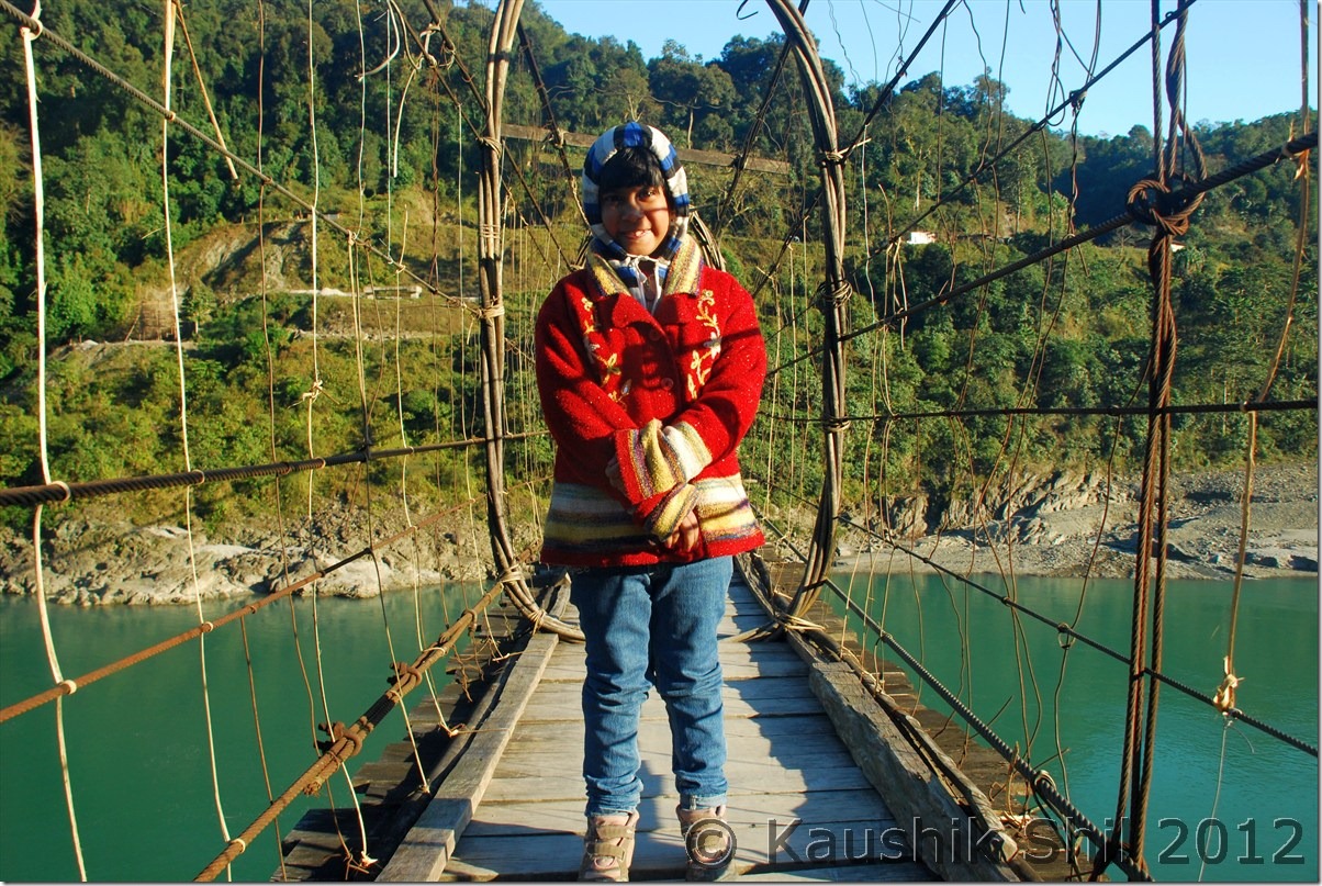
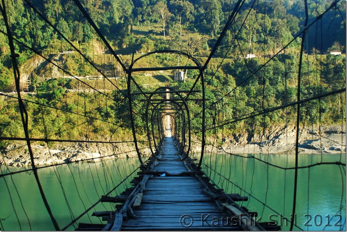
The signature foot bridge of Arunachal:

DSC_0556

Shot taken from Bridge

DSC_0559 DSC_0560

Mechuka Town: DSC_0561

Mesmerizing Location of Mechuka:

DSC_0562 DSC_0568

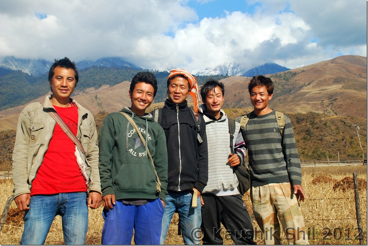
This group of local guys of Mechuka were very friendly:

DSC_0581

Winter Approaching:

DSC_0582

Indian Air Force Flight is ready to Land:

DSC_0583 DSC_0584

Previous: Amazing Arunachal – Way to Along and Mechuka

Next: Amazing Arunachal – Mechuka Continued