Xinjiang, China’s Central Asia and incredible Tibet – Day 10

Day 10:

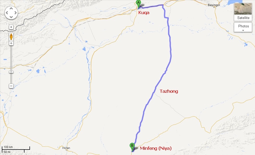
Today’s Route Map:

Kuqa-Minfeng

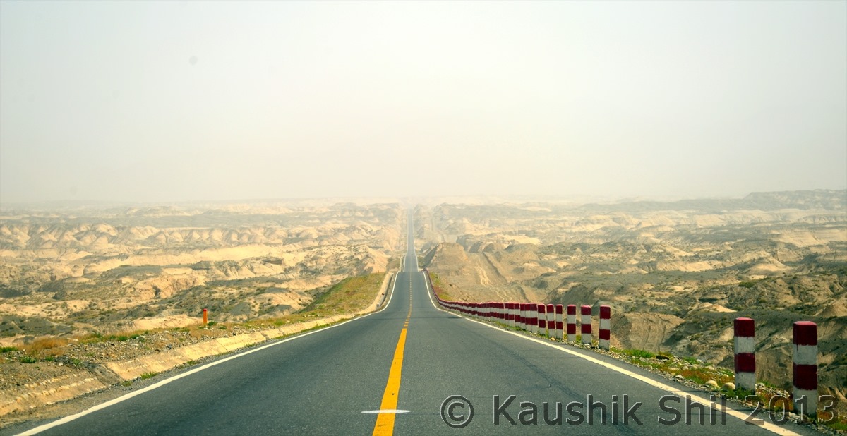
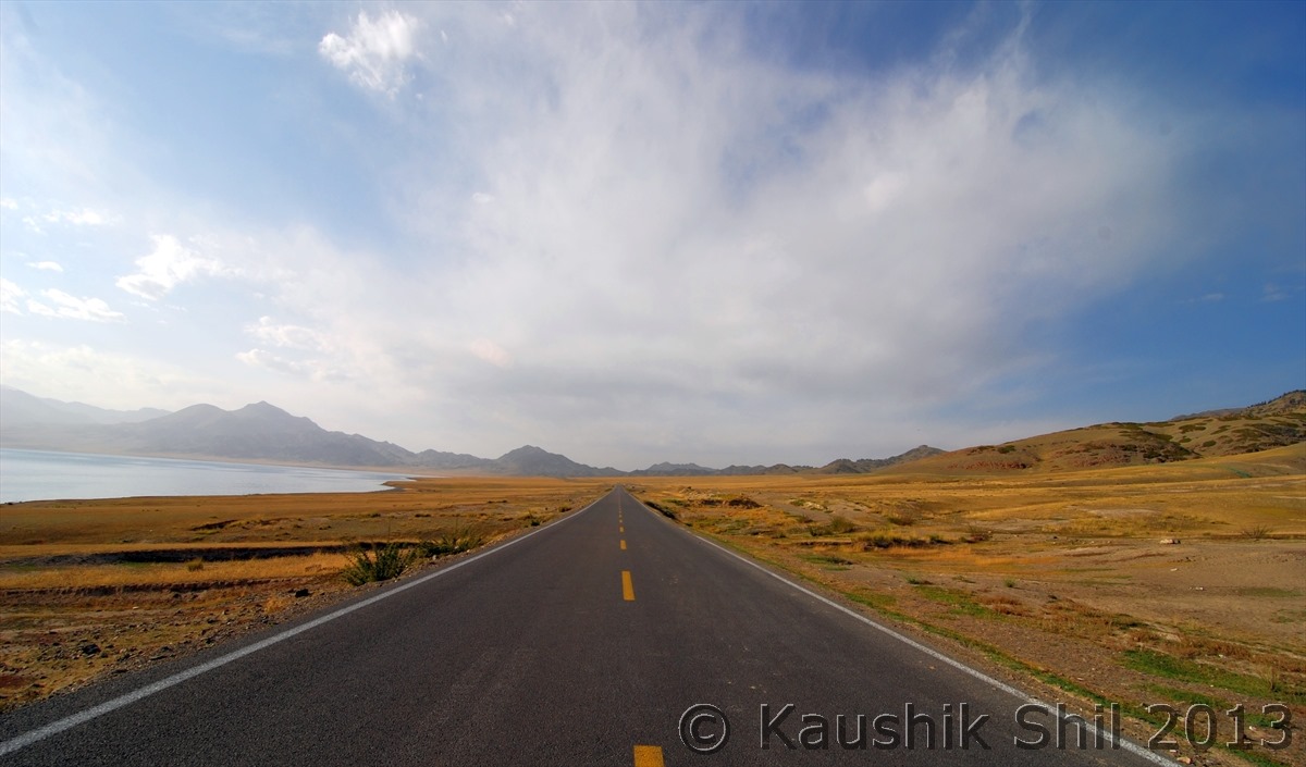
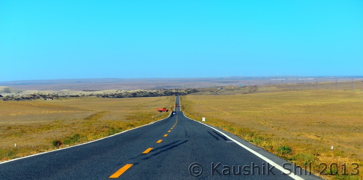
In Day9 if we have witnessed something by Chinese Govt which we might not like being Indians, Day10 is something where we saw something which we miss in India and wish if our Govt could do even a fraction of this. This day we could easily take route from Kuqa to Hotan and there by saving a full day, instead we planned to go back towards Urumqi for 100 km and to take the Desert Highway (known as Tarim Highway) to cross 522 km within deep desert of Taklamakan to reach the other side at Minfeng (Niya in Uighur). The total distance we traveled around 750km in the whole day and obviously we could reach Hotan only on next day. But still this epic road, which is world’s longest desert highway in any form is a sight to see and best to drive to feel and experience the fearsome Taklamakan Desert. Our only intention was to enjoy the Taklamakan desert which took lives of so many ancient traders of silk route and we achieved that fully. We reached Minfeng quite late almost around 10:00 in night but we could cover the desert part all through the day light and enjoyed the drive a lot.

I am quoting this from the history of the road which any travelers might be thrilled to read on how well Chinese could achieve this seemingly impossible task making longest road cutting just in the middle of second largest desert of the world.

Quote:

When Tazhong-4 Oilfield was discovered in the heart of Taklamakan in late 80’s, China National Oil Corp realized than an economical means of transport would be needed if the recovery of oil from field were to be profitable. A road was only the viable option. With a budget of CNY 4.5 Billion which later finally reached close to 8 Billion (120 Million USD) the China National Oil Corp organized 17 research institutes and more than 100 experts – engineers, geomorphologists, and botanists – to build a tarmac route across the Taklamakan. Nowhere in the world a road ever been built across such a hostile terrain. Engineers faced two main problems : to build a solid roadbed, and to protect it from being buried by constantly shifting sand.

Experimentation began in late 1991. The suitable roadbed formula was underlain with “geotextile”, a heavy-duty weave of tough plastic that was laid on compressed sand. This was topped with a gravel asphalt surface approximately 30 cm depth.

As the road inched its way south from Luntai, researchers found their efforts on finding the best way to protect it from windblown sand. Lateral “Shelter Belts” consisting of two lines of defense were built on both sides of the road. The first, about 100 meters from the road was a 1.3 meter high fence of interwoven reed stalks. The second line of defense lay alongside the road itself: a checkerboard pattern of reed stalks “planted” deep into the sand. This double defense proved effective as 90% of all windblown sand in the desert never rises more than 1 meter above ground – even in most powerful desert storms.

In total the road building teams came up with 310 new desert-stabilizing and road building techniques. Tens of thousands of laborers used thousands of square kilometers of geotextile and millions of tons of gravels. In the summer they braved 70 degree C and in winter mercury plummeted to Minus 30 degree C. Four sweating and shivering years later, the 522 km road with 7 meters width, finally linked Highway 314, to the north of the desert with Highway 315 in the South.
Designated as highway 312 and dubbed the Tarim Highway, this road building wonder – the world’s longest metalled desert road drivable year-around was opened to traffic in September 1995 and now takes 9 hours to cross infamous Taklamakan – an amazing feat considering that only a few decades ago the same journey would require many weeks of extremely dangerous and unpredictable travel.

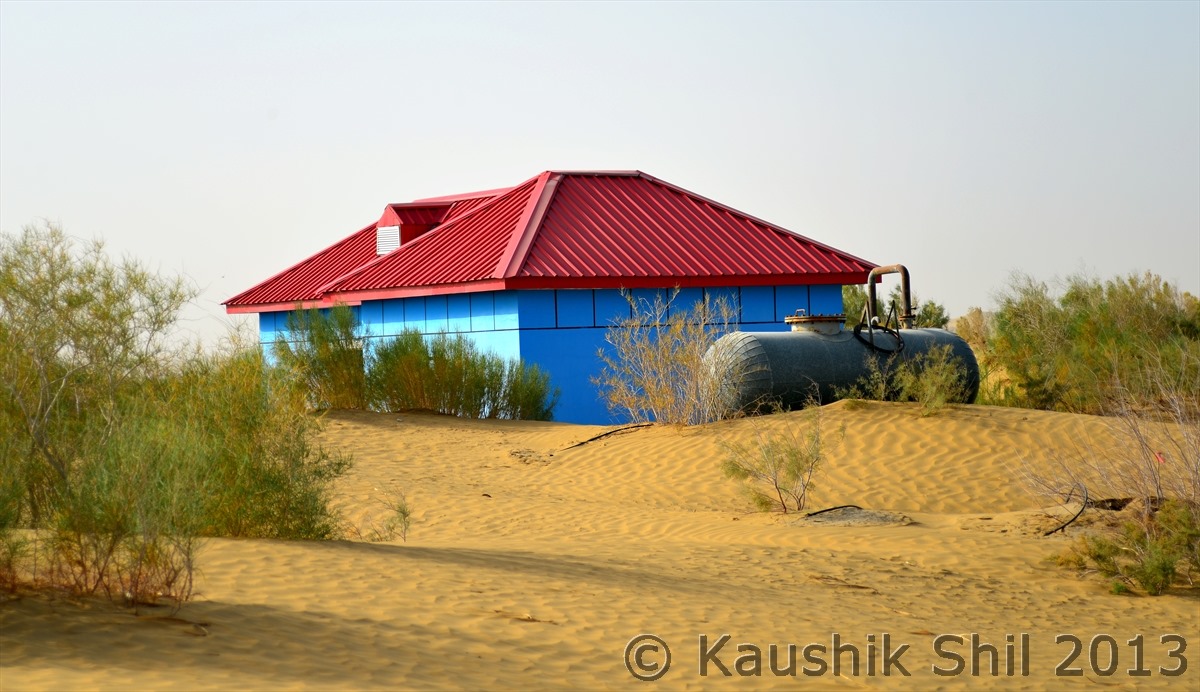
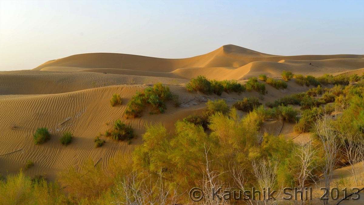
In 2001, anti-desertification plant species such as Chinese tamarisk, honey tree, diversiform Poplar and saksaul were planted along a 30km section of Tarim Highway to help hold off the sands, which constantly encroach despite the road side shelter belts and subsequently in 2003 a CNY 220 million (USD 31 million forestation project proceeded to create a green belt of desert plants on 3128 hectares of land along 436km of highway. To water these plants well stations are built in every 5km (So 100 wells stations were built for entire stretch) those pumps water through a network of pipes that run along the green belt. Six Million Cubic Meters of water is consumed annually to protect this road from the fiercest desert of planet Earth.

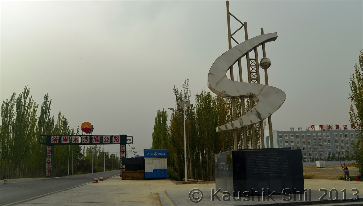
Starting point of Tarim Highway in Northern part of Taklamakan Desert at Luntai:

600_2375

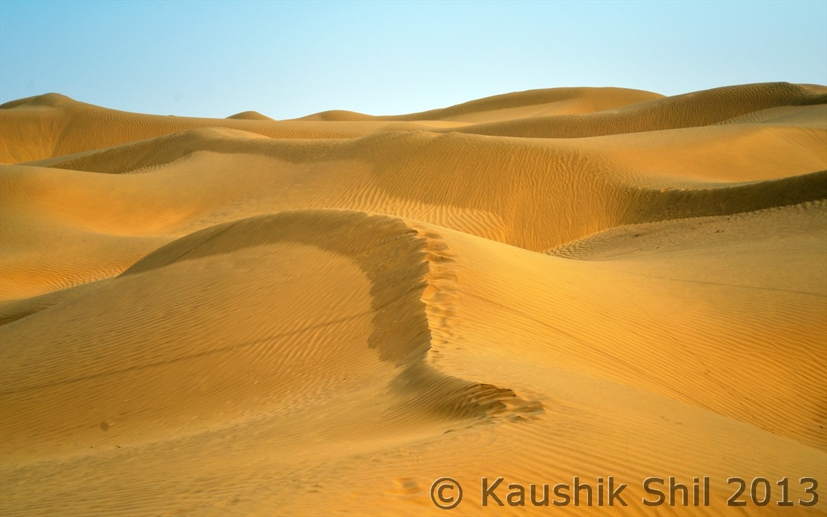
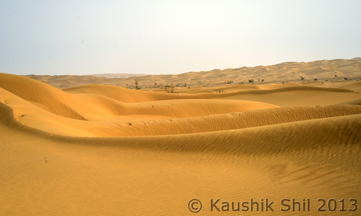
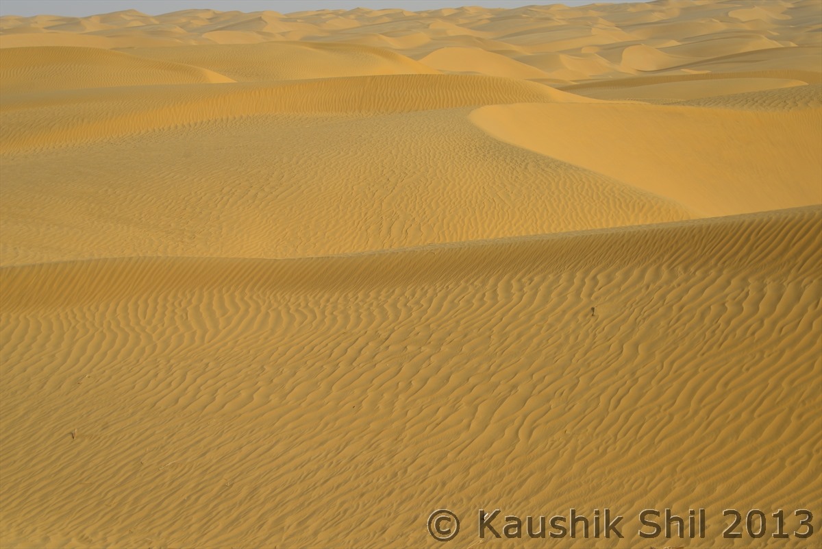
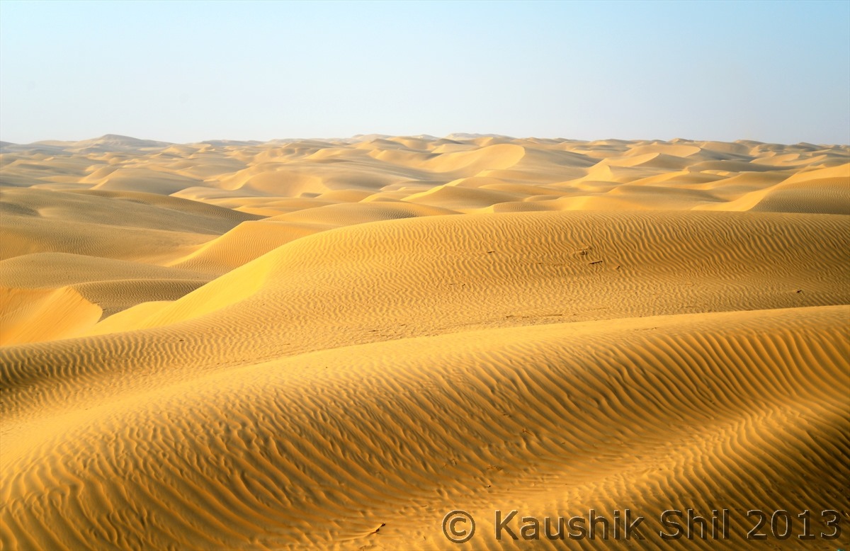
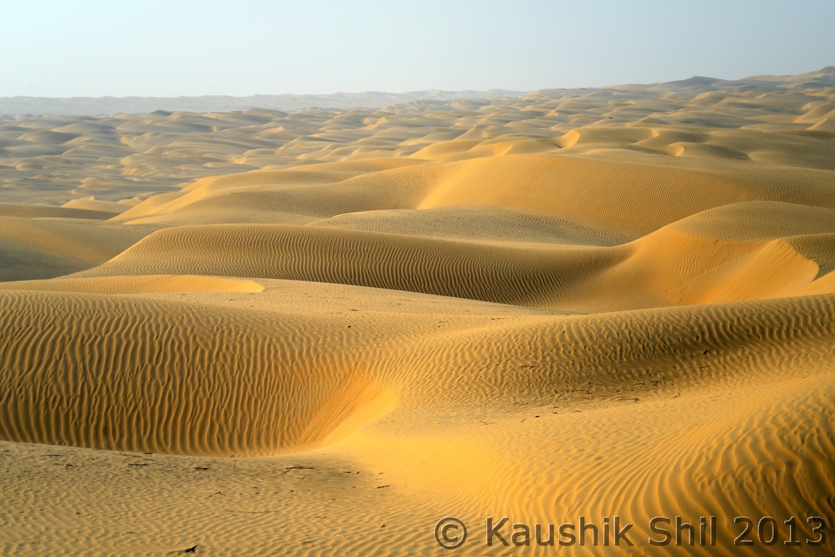
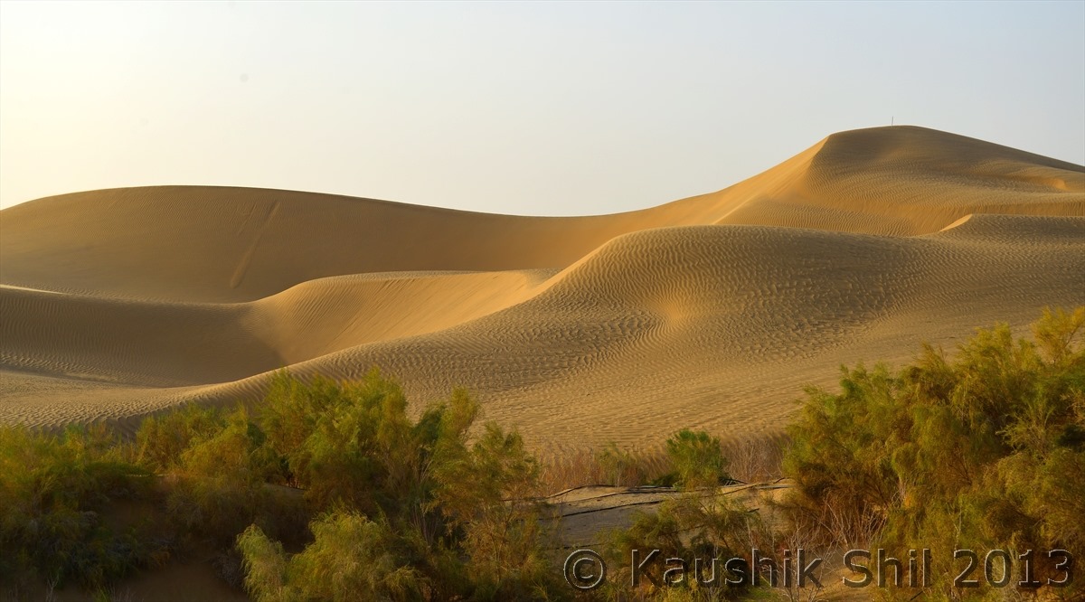
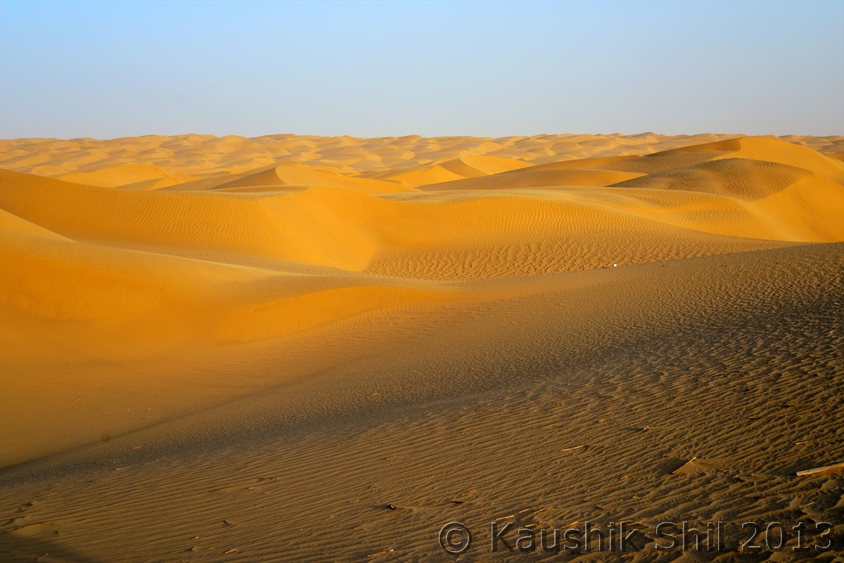
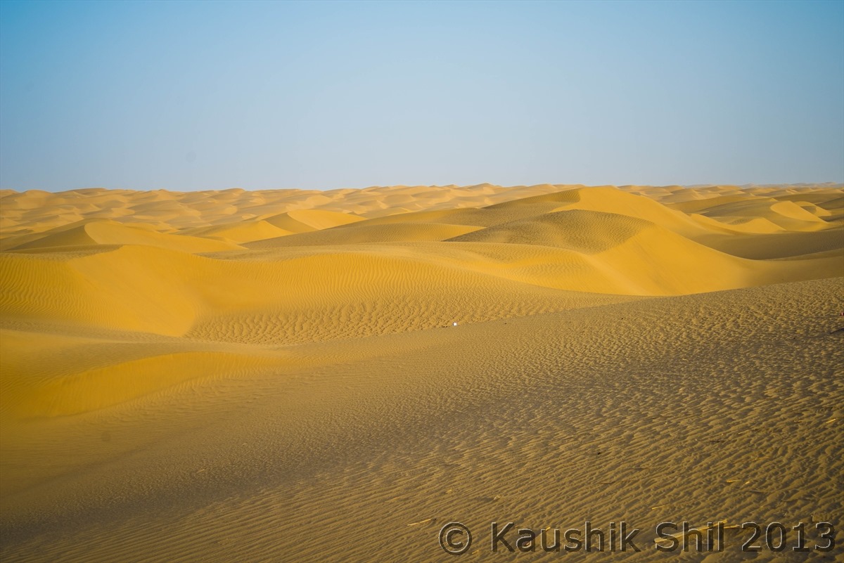
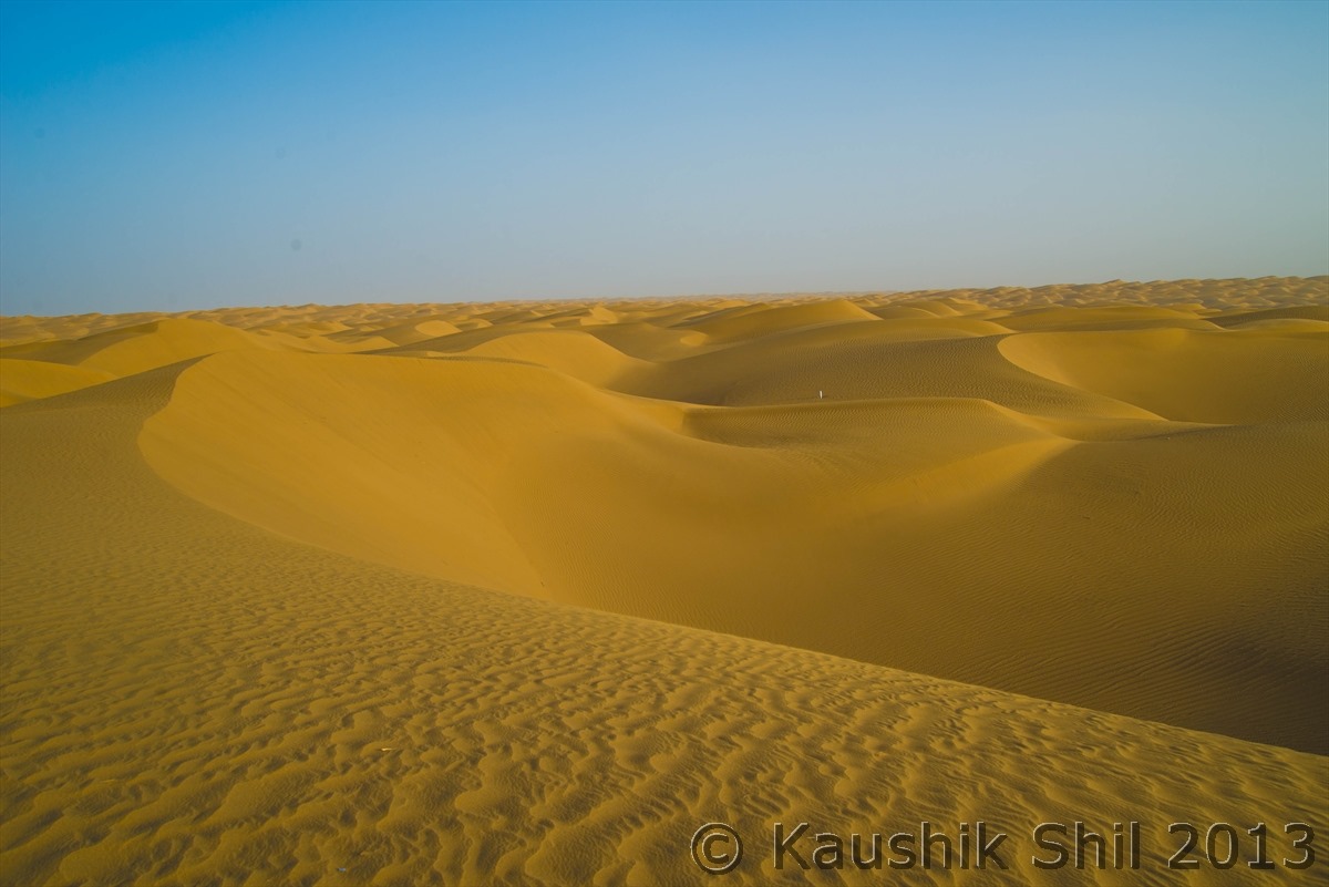
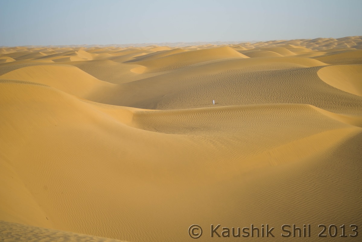
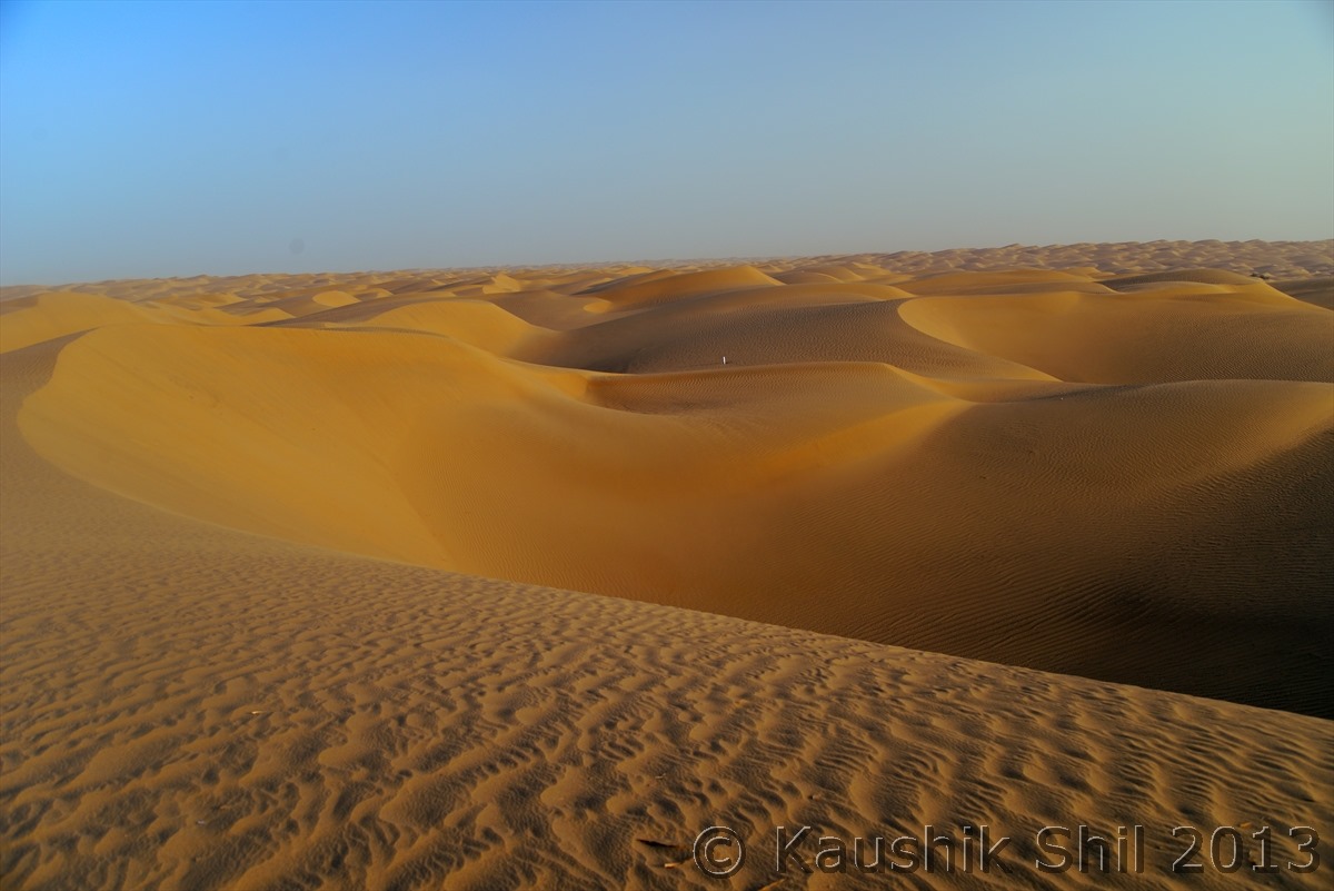
Mighty Taklamakan (Ocean of Sands, Taklamakan is world’s second largest Desert after Sahara)

600_2403

600_2411

600_2433

600_2437

One of the 100 water well and pumping station built in every 5 km apart through this 522km road to save the green line beside the road to protect it from sand:

600_2440

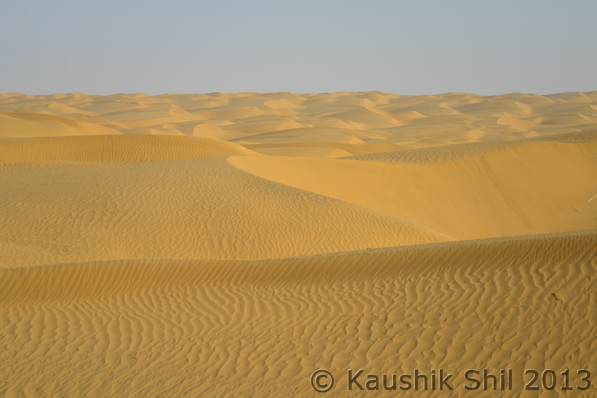
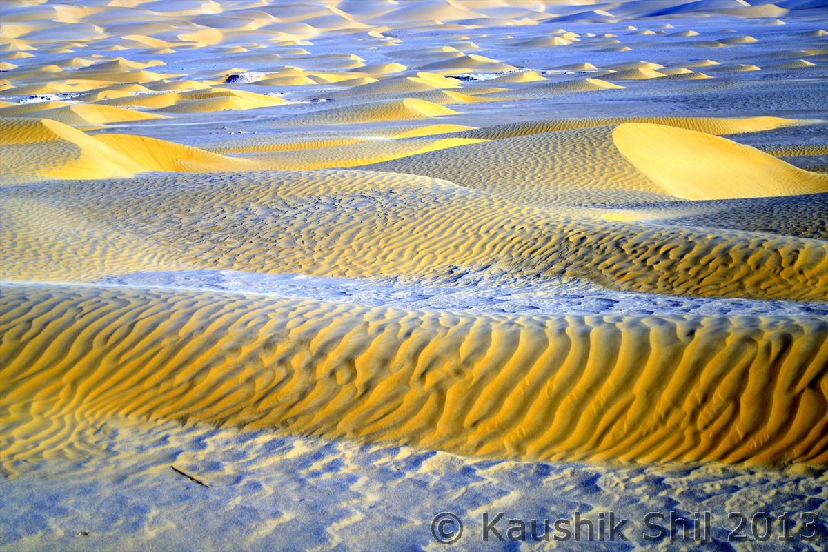
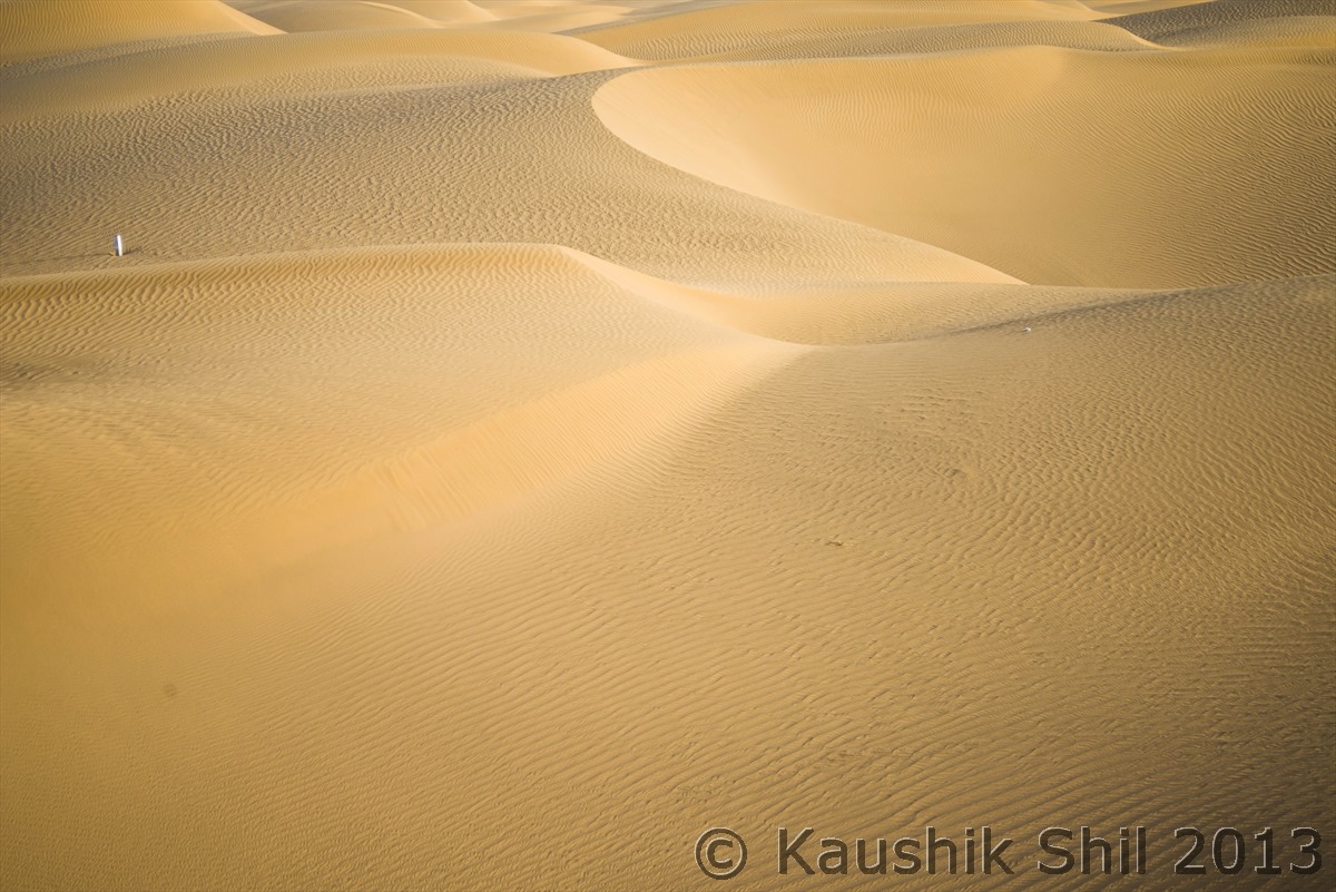
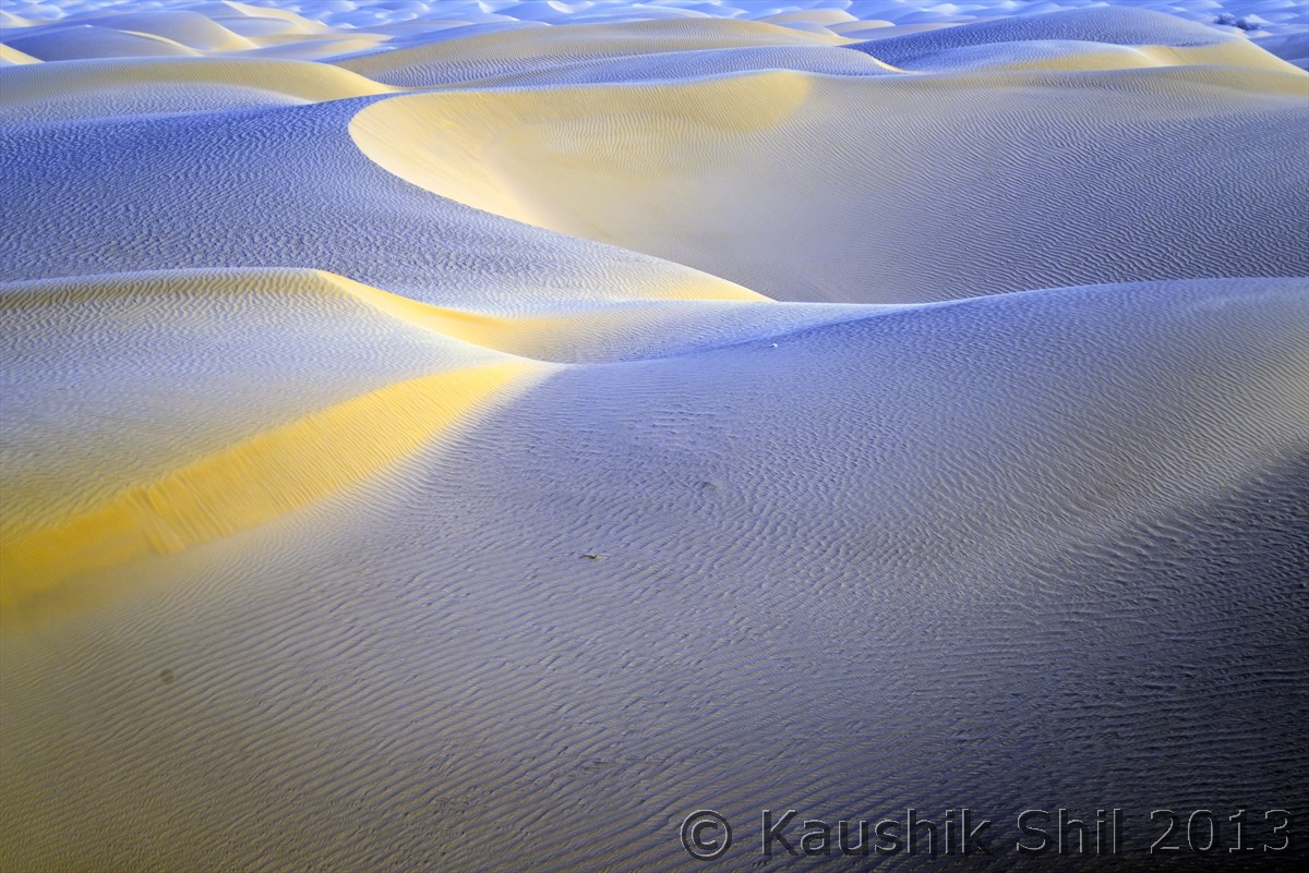
The amazing Dunes of Taklamakan, be it size, shape, colors, textures, grandeur it would keep amazing you:

600_2447

600_2448

600_2461

600_2468

600_2469

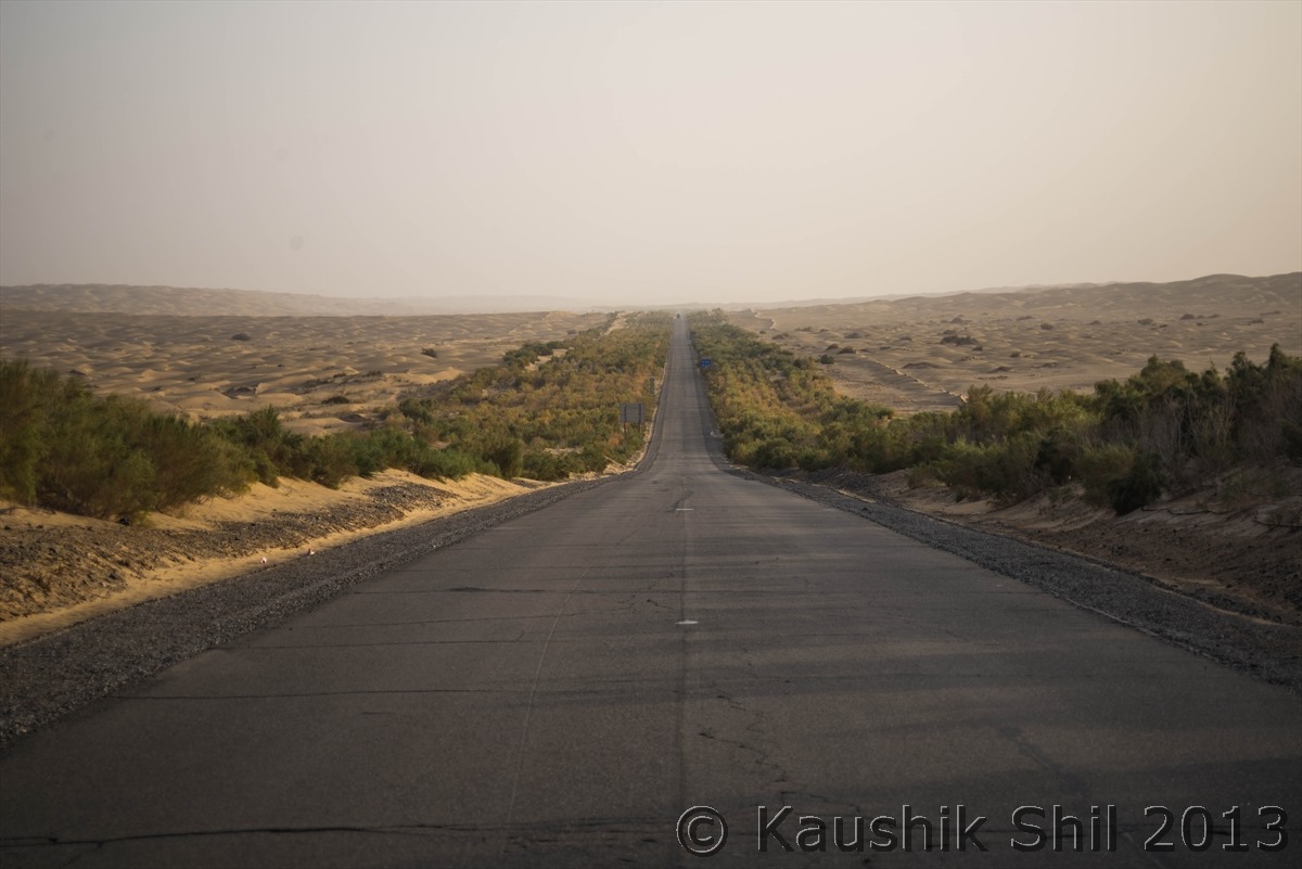
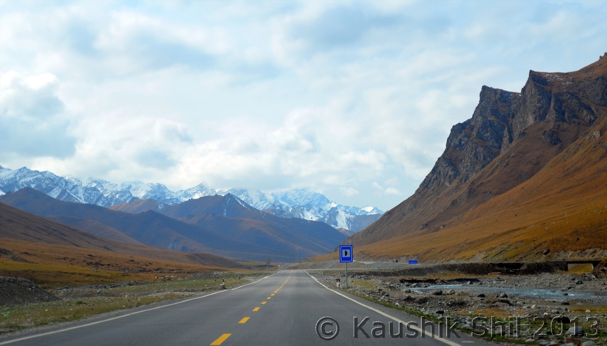
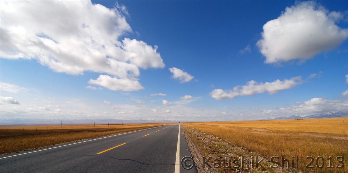
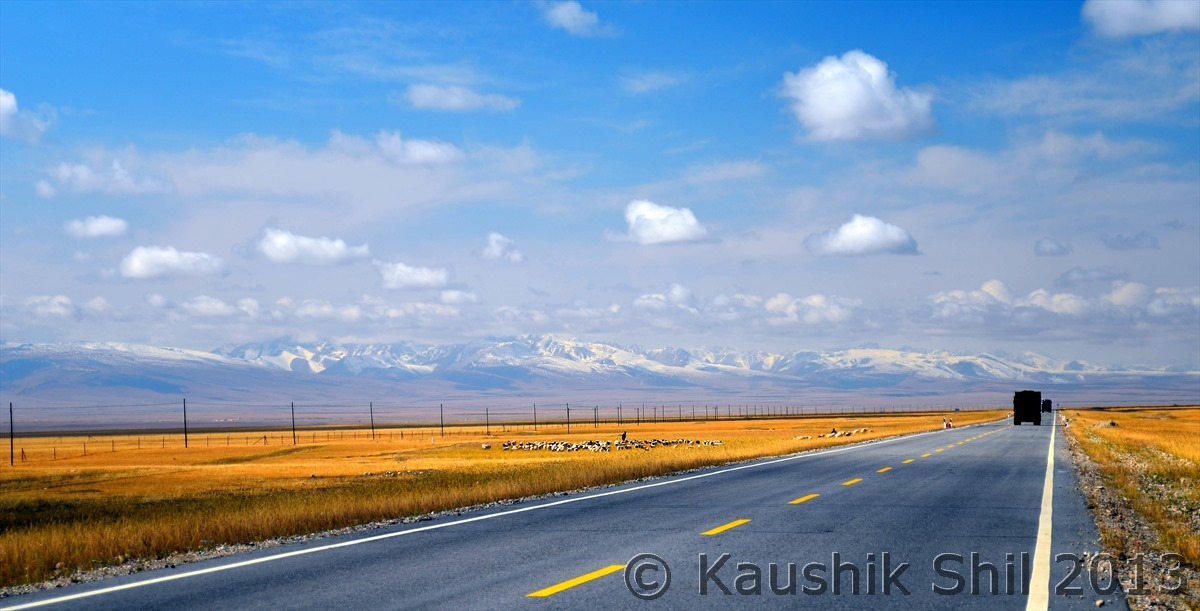
The famous Tarim Highway crossing the mighty Taklamakan Desert – Note the Green Belt in 3 rows in each side of the road to protect it from shifting sand of fiercest Desert – This is a pleasure to drive deep into a 522 km pure desert highway!!

600_2480

600_2471

600_2472

600_2473

600_2474

600_2476

600_2477

600_2481

Previous: Day 9

Next: Day 11/Part 1

Xinjiang, China’s Central Asia and incredible Tibet – Day 9

Day 9:

This was our first day with Hasan and we were little skeptical about how he would be specially after having such great time with Ablajan but ice broke very fast as Hasan turned out to be a very nice and helpful gentleman. Today our plan was to visit around Kuqa. In modern Chinese economy Kuqa is not an important town but two thousand years ago, this was the largest town among all the western kingdoms. By 4th Century CE, this became one of the most important trade hub being in the crossroads that continues from Turpan to Kashgar in East – West and Hotan to Junggar Basin via Ili Kazakh region in North South. The North – South route crosses Taklamakan to meet with the Southern Silk route at Hotan that comes from Dunhuang to the Southern rim of Taklamakan desert towards Kashgar.

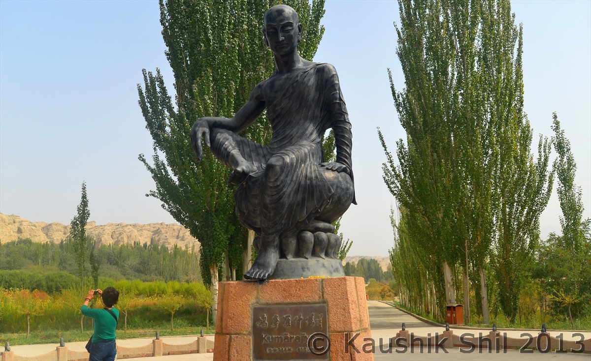
Kuqa is known as cradle of Buddhism in whole China as this is the place from where Buddhism started spreading across whole China and thus this place was having some connection with ancient India. The famous linguist and scholar Kumarajeeva was born and brought up here whose father was from Kashmir and mother having blood relation with local king. Kumarajeeva was born in 3rd Century, completed his education from Kashmir and was an expert in Sanskrit language and Brahmi alphabets earned his place in Chinese Buddhist history as “Nineteenth Patriarch of Buddhism”. He returned from Kashmir after finishing his education to Kuqa as a respected teacher of Hinayana Buddhism and later taken to Gansu province by the king where he lived for 17 years became famous for his prolific translation of Buddhism Manuscript from Sanskrit to Chinese.

Prior to these accurate translation of Indian Buddhist Philosophy, the Chinese believed this new religion was a foreign barbarian form of their own Taoism partly because both religion strive towards a state of salvation and partly because lack of understanding of Chinese to the principle doctrinal differences – Chinese language is ill suited to illustrate many subtleties and abstract reasoning in Buddhism that Sanskrit can gracefully accomplishes. Only after these translations started by Kumarajeeva, Chinese started to understand the real Buddhism. Still, the Chinese Buddhism bears very limited similarity with Indian Buddhism and follows the simplest doctrines of the religion. From Ninth Century Islam was introduced in Kashgar and Kuqa and other parts of Xinjiang slowly slipped into Muslim culture after eventual conversion.
In the end of Nineteenth century an ancient Buddhist stupa was excavated in Kuqa and several century old manuscripts were recovered and later sent to Asiatic Society of Bengal in Calcutta for a translation where it was discovered that these scripts were written way back in 5th Century in Sanskrit Language using Brahmi alphabets by some Indian Monks and dealt with subject of Medicine. I really felt amazed to listen this story of India (Calcutta) connection of Kuqa and felt proud to be an Indian, who could boast of our rich heritage. Yes we taught China the Buddhism and Kumarajeeva in that time crossed Taklamakan Desert and subsequently high passes of Kunlun and Karakoram to reach ladakh via Daulat Beg Oldie and Khardungla and further crossing Zojila reached Kashmir to get himself educated in Sanskrit language and Buddhism.

Today our first visit was at Ancient city of Subashi Ruins (Subashi in Uighur means headwater of river), this was the ancient capital of Kuqa region and located just in the emergence of Kuqa river from the Tienshan Mountains. The ancient city was built across both side of Kuqa river but the ruins predominantly exist in Western side as of now. This 3rd Century towns considered as largest Buddhist temple site in Xinjiang had towers, halls, monasteries, houses everything severely eroded by time but still quite recognizable. We enjoyed walking across the ruins and best part was there was no other tourist apart from us and we enjoyed and soaked ourselves in the histories of 3rd century.

Subhashi Buddha Ruins of 3rd Century CE:

600_2270_DSC_0219

600_2255

600_2256_DSC_0216

600_2258

Grand Pagoda of Subhashi Ruins

600_2259

Soaking yourselves in 3rd Century, somewhere around 1700 years back, makes you feel amazing:

600_2263_DSC_0217

600_2270_DSC_0219

Day 9 Contd…

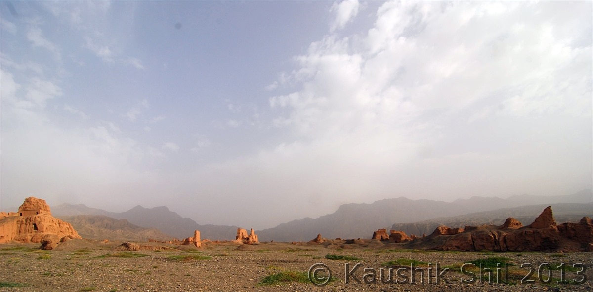
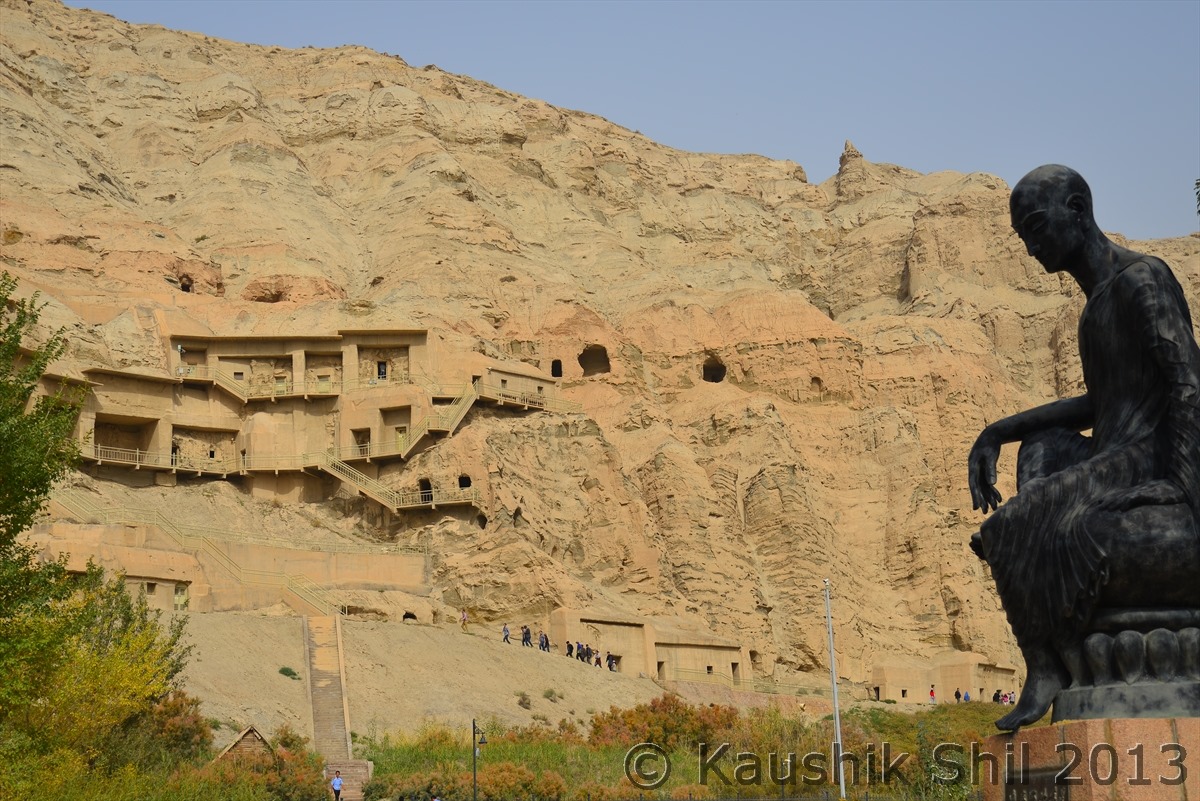
Our next stop was Kizil Thousand Buddha Caves, 70 km away from Kuqa, carved in a stiff cliff looking over Muzat river valley, considered as best fresco fragment to be found in Xinjiang. The Caves and frescos were built between 3rd to 8th Century CE, have more than 200 caves but now only less than 100 still contain the ruins of wall paintings. This is one of finest examples of Hinayana Buddhist art in whole of Central Asia and heavily influenced by Indian traditional art of Gandhara (Originated from erstwhile Purushpur, now Peshawar in Pakistan), depicted lots of Jataka stories with different colors of rocks. As we have seen Xinjiang has colorful rocks, so coloring these frescos beautifully was not a big problem though guide told us, specifically the color blue was made by the rocks brought from Afghanistan, it was not available locally in Xinjiang. Most of the frescos and murals were removed by German, British and Japanese expedition teams in start of Nineteenth Century and many of them are now being displayed in Asian Art Museum, Berlin. But still the place definitely worth a visit at least to see what still remains there and demonstrates the fascinating artistic heights, the Kuqa artists reached more than 1500 years back.

The last attraction of the day was Grand Mosque which was dated back 500 years and initially used as religious court and that continued until Communist regime took over and banned all sorts of religious courts across the country. The mosque was second largest mosque of Xinjiang after the Idkah mosque in Kashgar which we would visit later. The religion is now seriously controlled in Communist China, since 1950 after communist took over, there was not a single new mosque built as Govt denied permission though the population grew manifolds. While talking to few locals who usually don’t want to speak much about local regime, I came to know one retired teacher was issued Govt notice for offering prayer in Mosque and his pension (that was due for his 30 years of service) was stopped in 24 hours notice and while appealing against the decision, the teacher was asked to collect his living from Mosque. As a Govt service holder or as a teacher you are simply not allowed to practice any religious activities of any sort in China. We all are aware that in China except if you do some small business where you don’t need Govt favor, you would be dependent by some means on Govt and that’s why practicing religion of ones choice is still a dream for most of the Chinese. If you were following the news of Xinjiang closely, you might have read in Xinjiang last August 25 people were shot by police inside a Mosque citing an illegal meeting was taken place, Chinese news you won’t get easily and verifying the truth is even more difficult as people and locals are quite afraid of saying anything against whatever Govt does. We saw similar kind of forced rules against freely live, believe and practice religions like what we are used to in India even in Tibet and in a bigger scale but we would come to that later.

Subhashi Ruins, notice the temple structure at top, 1700 years old:

600_2271

600_2278

600_2279_DSC_0220

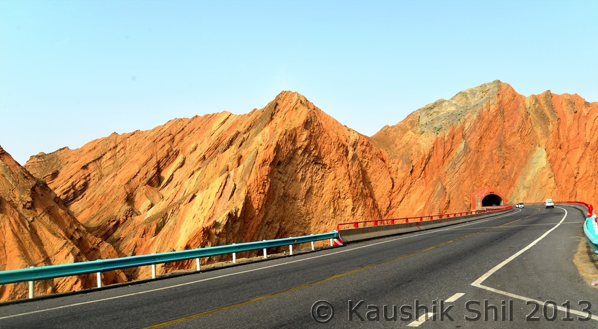
Colorful Rocks on the way to Kizil Thousand Buddha Caves:

600_2281

Kizil Buddha Caves with Kumarajeeva in foreground:

600_2302

600_2308

The Road from Kizil Buddha Caves to Grand Mosque:

600_2315

The Kuqa Mosque inside contains lot of 15th Century artifacts:

600_2336

600_2337

600_2338

600_2340

Kuqa Grand Mosque:

600_2342

Kuqa Old Market:

600_2350

Old Rickshaw in background of modern transport:

600_2354

Kuqa Old Town – Nice Houses:

600_2359

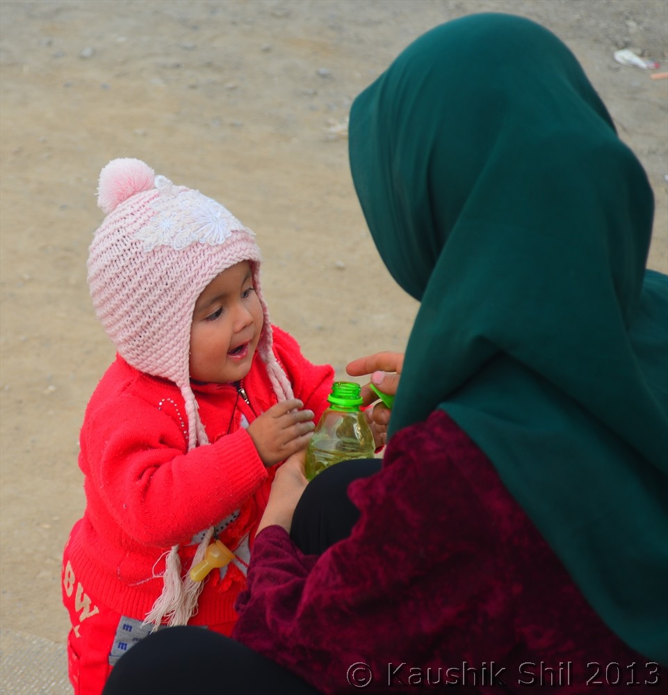
Mother and Baby:

600_2360

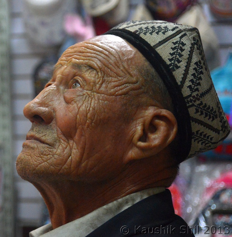
Uyghur Face:

600_2365

Previous: Day 8/Part 2

Next: Day 10

Xinjiang, China’s Central Asia and incredible Tibet – Day 8/Part 2

Approaching to Tienshan Southern Region:

600_2112

600_2115

Ascend to Tienshan Southern Range started:

600_2122

Inside Tienshan South Range, roads winding up:

600_2132

Lovely Yurts:

600_2141

600_2145

Placid Lakes:

600_2146

600_2170

The Serpentine Road goes through Tienshan:

600_2174

Cutting across Tienshan Highway 217 connects Northern and Southern Part of Xinjiang:

600_2176

After crossing the Tienshan Southern Range we reached to Tienshan Grand Canyon:

600_2189_DSC_0189

Amazing rock formation:

600_2190

The walking through the narrow canyon was an amazing experience:

600_2208

600_2212

600_2214

Strange formation you would see frequently:

600_2215_DSC_0200

Sometimes Canyon goes wider:

600_2217

Sometimes it gets very narrow:

600_2218

The colorful canyon and its grand texture made by wind and water erosion is a treat to eyes:

600_2224

600_2226

600_2235

Previous: Day 8/Part 1

Next: Day 9

Xinjiang, China’s Central Asia and incredible Tibet – Day 8/Part 1

Today’s Route:

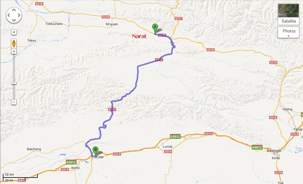
Narat-Kuqa

This would again be a long day for us and we were supposed to drive 550km to cross Tienshan mountain range to officially end our Northern Xinjiang trip and destination for the day was Kuqa (Pronounced as Kucha). We had once more a typical Chinese breakfast with Chop sticks (no spoon/fork would be available in the smaller towns) and quickly start the day by 9.30 morning. The road 218 leaves Narat and continues East following the river which by now is a rushing stone filled stream closely hemmed by spruce and pine trees. After few kilometers the road meets 217 (Which we left on Day6 at Kuytun) which is coming down South from Kuytun crossing Tienshan range through a tunnel and few passes before meeting and crossing 218 here and goes down south to Kucha on the Northern side of Tarim Basin, the northern edge of infamous Taklamakan Desert. Highway 217 from Kuytun to Kucha is famous for its spectacular and varied mountainscape, first it follows a river through a narrow canyon, then crosses lush grassland of Bayanbulak and then starts ascending to cross Southern Tienshan again to finally get down to Tarim Basin. We initially have plan to visit Bayanbulak as well and it’s famous Swan Lake home to the majestic Swan in China. This is also famous for multiple bends of Kaidu river in the middle of a huge prairie of lush grass like a giant gleaming serpent. But again with blooming flowers, majestic swans and serpentine flow of Kaidu river, summer is the ideal time to go there so finally we decided to drop this and also there was some confusion regarding an issue with permit to stay night there for foreigners.

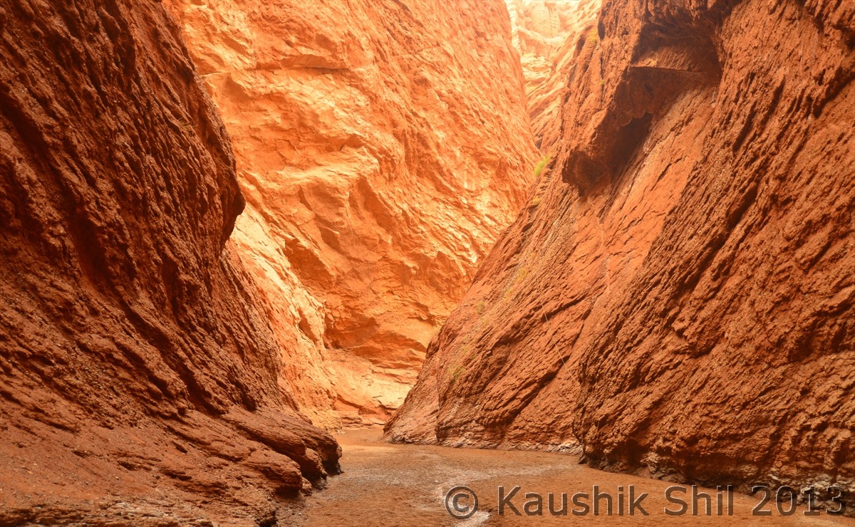
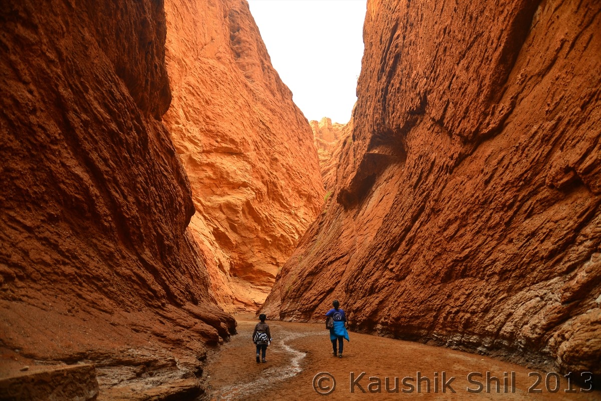
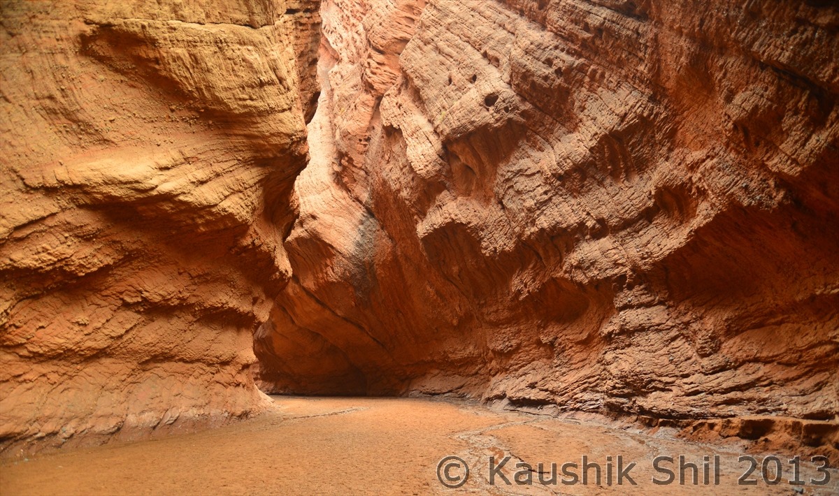
South of Bayanbulak grassland, Highway 217 again enters mountain region of Southern Tienshan and around 70 km north of Kucha it passes through Tienshan Grand Canyon, 6 km long canyon is a wonder of nature with thin pinnacles, overhanging wall and heavily eroded red rock. The narrowest part of Canyon was even less than half a meter and it was an amazing experience to walk down the narrow canyon. We finally reached Kuqa around 7.00 in evening and this was the place where our first part of Xinjiang trip was being over. Ablajan was booked for the Chinese golden holiday week with a French group and also I decided to start my Southern Xinjiang trip with a local driver and guide and here I met another excellent Uighur gentleman in his early thirty, Hasan who was also an excellent guide, a very safe driver and awesome host. Hasan lives at Kashgar and he took almost a 10 hours drive for me from Kashgar to pick me up at Kuqa. We would visit tomorrow the Kuqa area as this was one of the major hub of old silk route and cradle of Buddhism in China. We were booked in another 4 star hotel here (Hotel Lidu) by Ablajan and this hotel was indeed one of the best in our entire stay in China. We said good bye to Ablajan for his excellent guidance over last one week and promised to meet him again at Urumqi for the last part of our Xinjiang trip to Turpan after our visit to Southern Xinjiang. Hasan was equally punctual and disciplined and entirely professional and I must admit my good luck with finding exceptionally good drivers and guides was continued in China too.

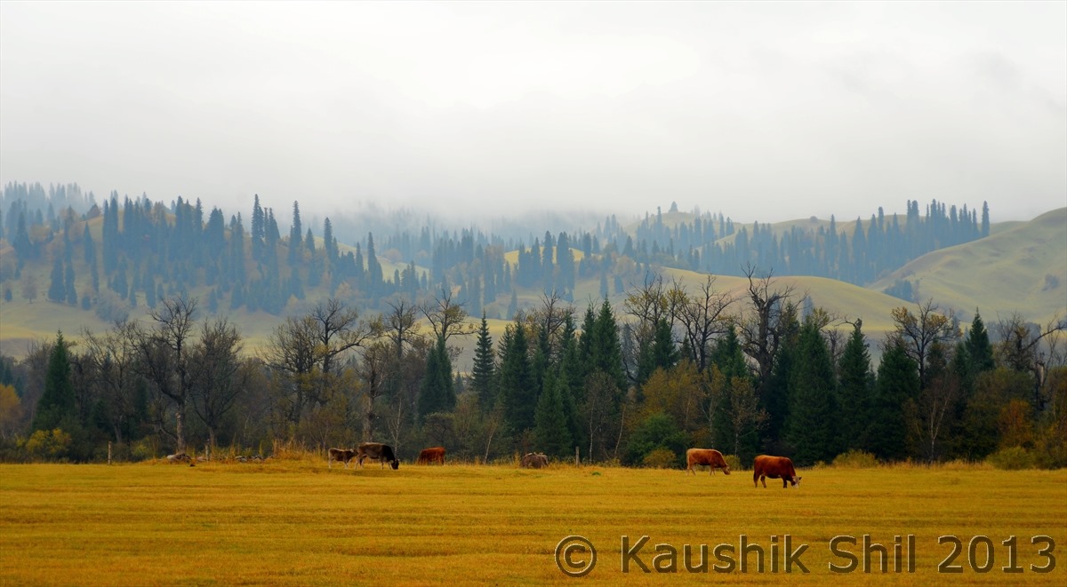
First few kilometers the Highway 218 passes through the Narat Grassland:

600_2018

600_2029

The Road follows the mountain stream:

600_2032

600_2039

Soon after the crossroads with Highway 217, we took 217 towards South crossing Tienshan Range:

600_2048

600_2054

Highway 217 crosses the extremely beautiful Tienshan Mountain Section:

600_2056

600_2057

600_2058

After Crossing the Tienshan Mountain ranges, 217 hits the Bayanbulak Grasslands:

600_2070

Bayanbulak Town:

600_2072

600_2073

Bayanbulak Town:

600_2077

The vast pastureland is amazing :

600_2078_DSC_0181

600_2086

600_2089

600_2090_DSC_0178

600_2091

Now reached almost at the end of the Bayanbulak Grassland:

600_2094

The valley started getting narrower:

600_2104

Previous: Day 7

Next: Day 8/Part 2

Xinjiang, China’s Central Asia and incredible Tibet – Day 7

Day7:

Today’s Route Map:

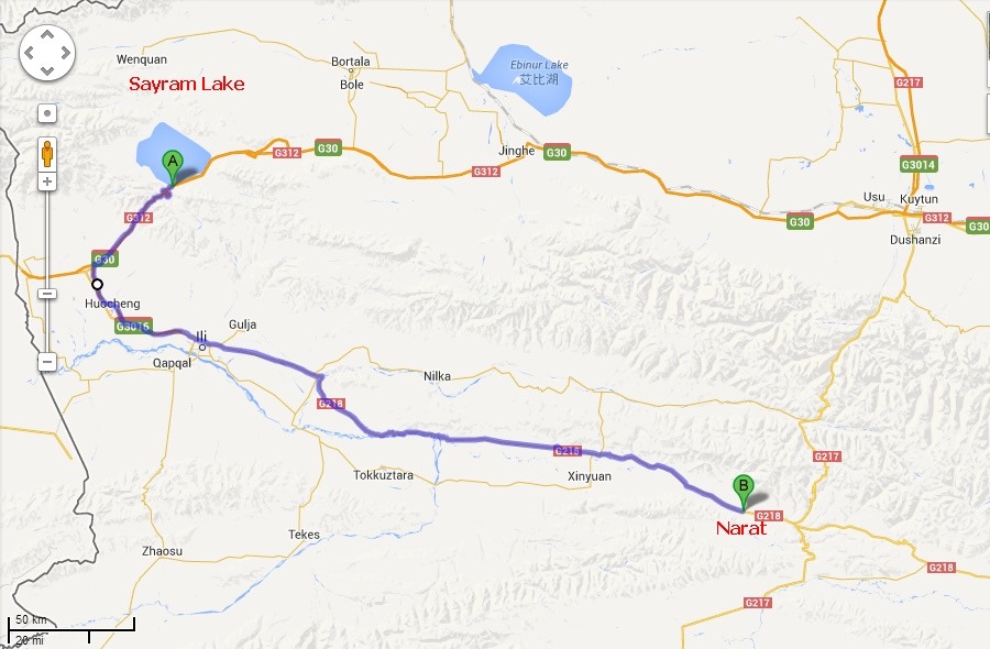
Sayram-Narat

This was absolutely a Chinese hotel and as expected we had a terrible breakfast and that was expected after our yesterdays lavish one. We left the hotel as early as 9.30 and the road then passed into a long, steep sided valley known as fruit valley in Ili Kazakh Prefecture. Rugged and beautiful with forests of dragon spruce blanketing the mountain slopes and wild fruit trees further down, this region famous for sweetest apples produced in China, named as Ili apples and high quality of honey collected from bee hives. After 30km of such a beautiful driving, the road diverts, straight road goes towards the Horgas Port in Kazakh border which is barely another 30 km and we turned left to East towards Yining. Yining is the capital of Ili Kazakh prefecture most of which borders with Kazakhstan. Border is as close as 80km from here it’s located 700km west of Urumqi where as 450 km east of Almaty which was until 1991 was Soviet Union. So you would feel like reaching an erstwhile Soviet town when you would be in Yining. From Yining the highway towards East is known as Highway 218. At first the road goes through tall poplar trees but soon emerges to reveal the Ili Valley in full glory. This is a vast valley with tilled fields and further away the sloping expanses of pastureland makes it soothing for your eyes. The road follows Kunes river as the valley is narrowed down and finally starts to ascend to Tineshan range again before entering Narat Valley. Even in Autumn the vastness of green grassland with Kazakh Horsemen roaming around with flocks of sheep, herds of cattle and horses will make you amazed. The grass started turning yellow but still good for grazing of thousands of animals. Narat (Nalati) Grassland is particularly lush and picturesque and this is a favorite place for domestic tourists. Foreigners until 2012 required special permit to enter this region but this year it was said to be relaxed and we were not asked for any permit anywhere but if you plan to visit this place, check it twice, in China anything can happen anytime. We enjoyed the grassland through out the day and stayed in a nearby hotel for the night.

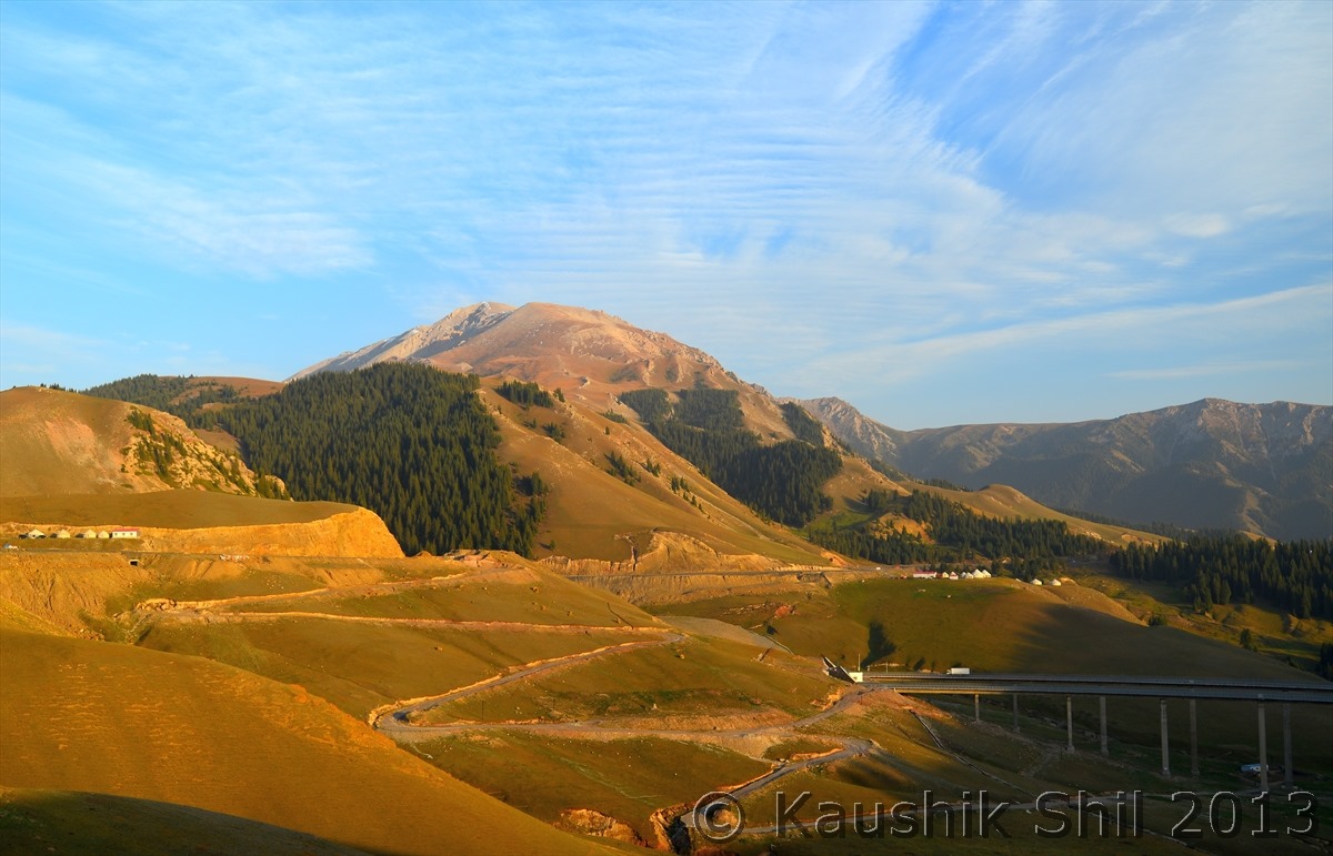
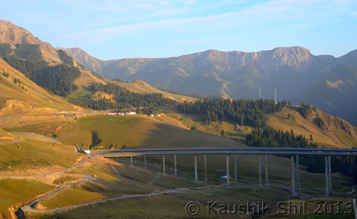
China is quick to write off the winding roads and making bridge or tunnel to make things quicker:

600_1818

600_1821

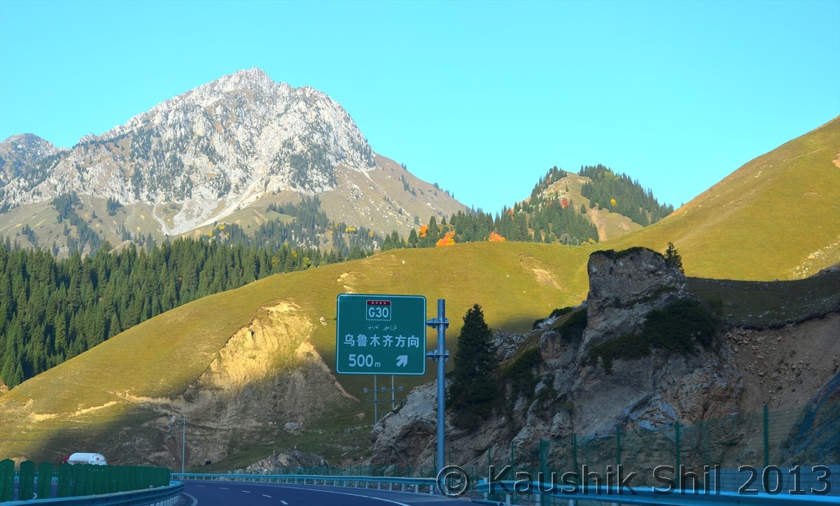
G30 crosses the fruit valley before descending to Ili Valley:

600_1861

600_1862

Kazakh Man with his pet:

600_1894

Narat Grassland:

600_1925

600_1928

600_1931

600_1957

You can stay inside the scenic area:

600_1964

Or can stay even in the Kazakh Yurt:

600_1965

Amazing Grassland:

600_2014

Previous: Day 6

Next: Day 8/Part 1

Xinjiang, China’s Central Asia and incredible Tibet – Day 6

Today’s Route map:

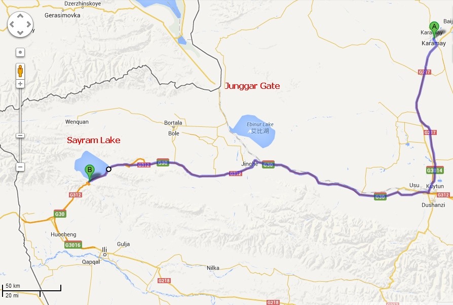
Karamay-Sayram


The hotel at Karamay was also a 4 star hotel as per Chinese standard and we got first time in the trip the option of an English breakfast and needless to say we have made most of this unbelievable change of our luck for food and had the longest breakfast of the trip. When we started it was already 11:00 Beijing time. Our journey for the day was relatively short but still around 350km and we planned to take 217 further down till Kuytun and then turn right (west) to G30 towards Sayram Lake which is located close to the border of Kazakhstan. From Kuytun towards west, expressway G30 runs parallel to Tienshan through dark fields of cotton with lighter strips of land sown with corn. We saw lots of migrants pickers from erstwhile Soviet countries form lines with baskets on their back and walking from the field to other side towards waiting trucks to be filled with tons of cottons. The Rail road from Urumqi accompanies the highway all through till Jinghe where the railway finally departs by turning north towards Alataw port, historically known as Junggar Gate, the strategic pass between the high mountain ranges of Central Asia through millions of years, historically allowed human migration and conquering armies to bridge the Europe with Asia. Through this the North Silk route used to pass before it crossed Caspian Sea to cross over to Europe. Today the importance of this place is, that it’s the only year long open border and only rail route between Xinjiang and Kazakhstan. Other side of the border is Dostyk in Kazakh and from there the rail route skirts Alakol Lake and meets Turkey-Siberian Railway near eastern like of Lake Balkash, from there North will take you to Moscow and South to Almaty.
From the same point where railroad departs to North, G30 continues to west leaves Junggar basin and climbs through the broad valley of Tienshan. Once up, the first view will draw your attention towards the stunning expanse of vast blue water known as Sayram Lake. In Kazakh, Sayram means blessing, this is situated almost 2100 mtr above sea level and 30 km at longest and 25 km at widest point, makes it Xinjiang’s largest Alpine Lake. You can drive through 50 km through the circumference of the lake if you buy an entrance ticket from East gate and can drive out through South Gate. The lake is said to be formed almost 70 million years back because of a tectonic movement that caused the plate crust to drop almost 90 mtrs to form the lake. The lake gets frozen between December to April every year and then from May the water started melting and in Summer with the surrounding mountains slopes with grassy fringes creates a stunning setting for the deep azure colored lake with lots of wild flowers blooming all around. If someone really wants to enjoy the beauty of Sayram, he should be there in June/July. In Autumn we enjoyed the red and yellow grass and nomadic cultures and the gem like lake but the photographs we saw in visitor’s center certainly tells it’s the summer when one should visit this heavenly place. We stayed very close to lake in a hotel, which seems to be only hotel in the area, rest all accommodations are yurt type and in October, temperature at night drops drastically we decided to stay in hotel, after all still we had a long way to go.

On the way From Karamay to Kuytun in Highway 217:

600_1690

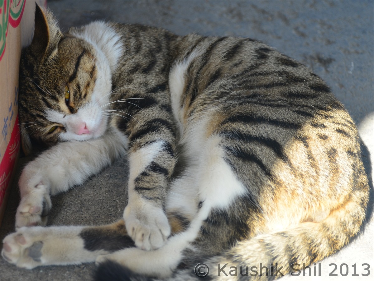
Looks relaxed but watching everything, typical Chinese Cat

600_1699

Pastureland:

600_1714

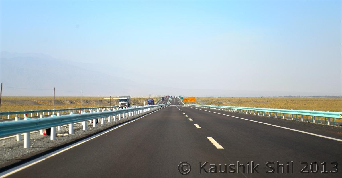
On the way in G30:

600_1717

Colorful Mountains:

600_1736

Entering Sayram Lake Region:

600_1752_DSC_0158

Beautiful Road ascending through the mountains:

600_1753

First view of Sayram lake:

600_1754_DSC_0159

600_1755_DSC_0161

Sayram Lake (In Kazakh Sayram means Blessing, we really felt blessed being there):

600_1767

600_1778

600_1780

Kazakh Man with his horses:

600_1789

The Lake from other side:

600_1797

The amazing Landscape around Lake:

600_1798

600_1812_DSC_0168

Pastureland around the Lake:

600_1813

The winding road towards Tienshan:

600_1815

Previous: Day 5

Next: Day 7

Xinjiang, China’s Central Asia and incredible Tibet – Day 5

Day5:

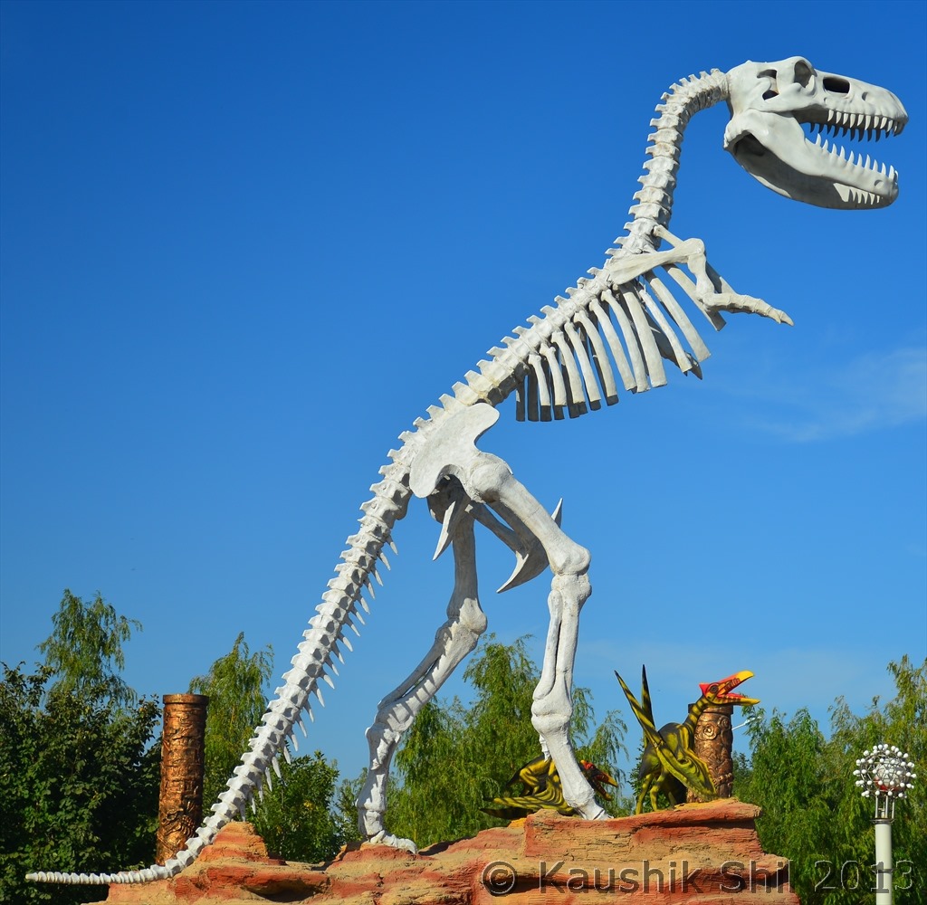
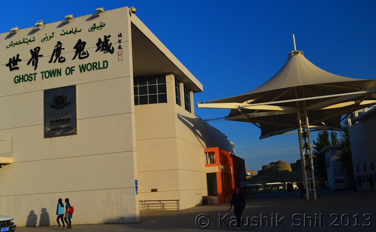
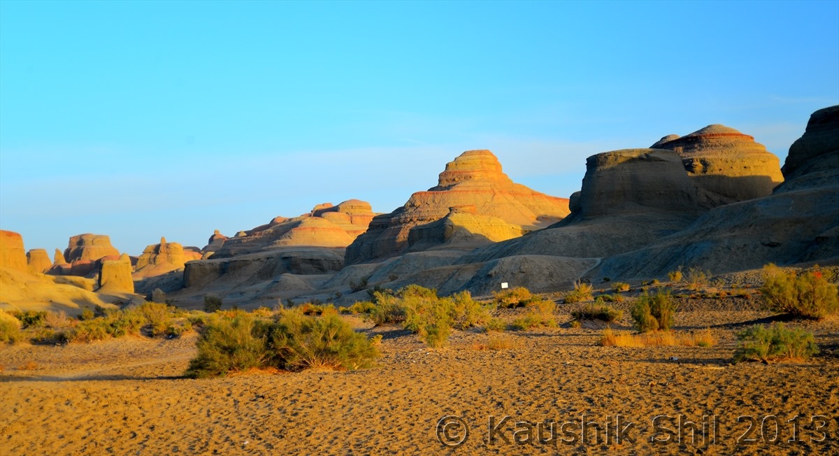
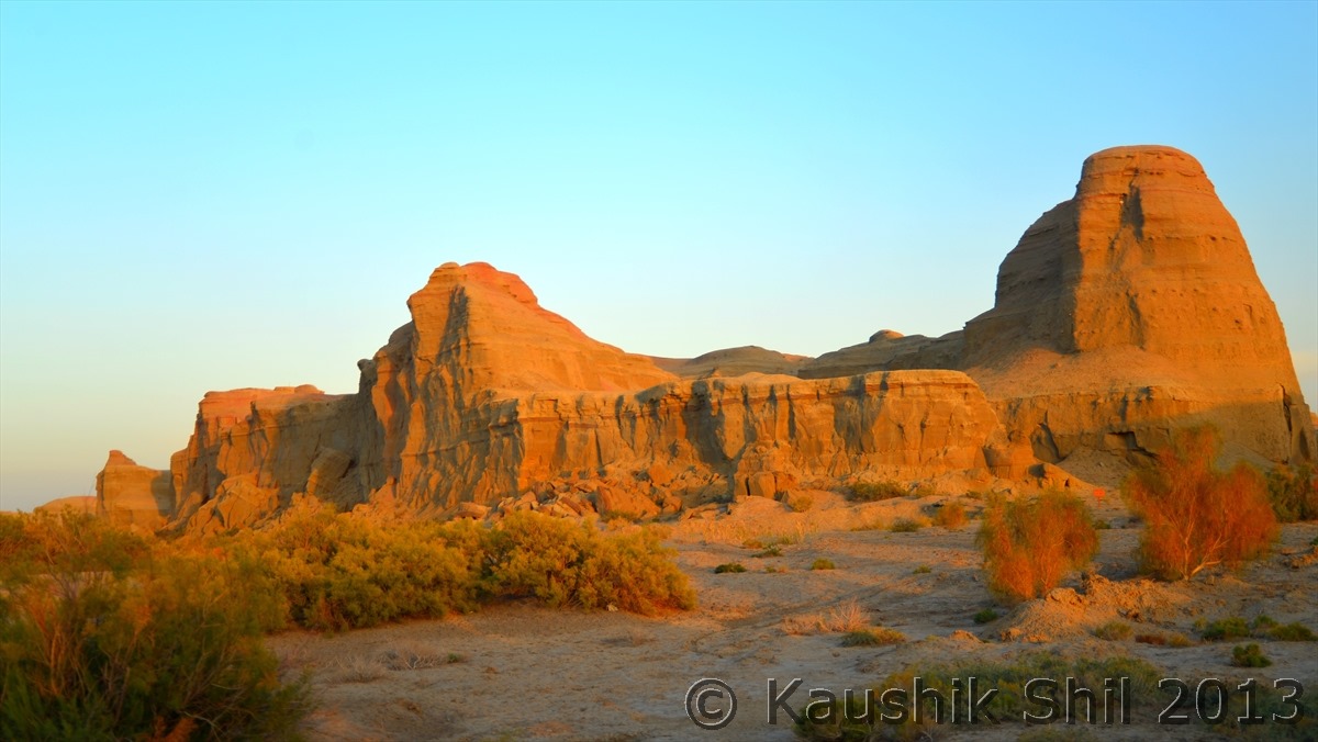
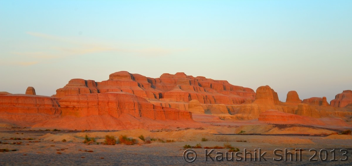
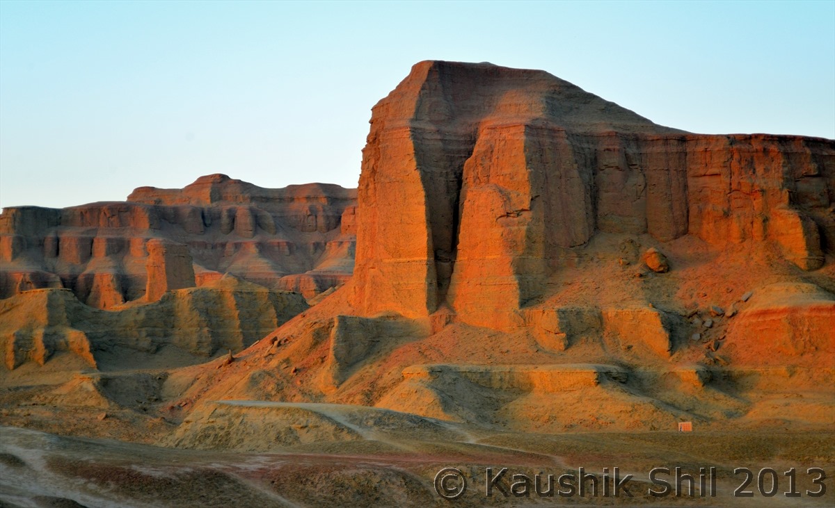
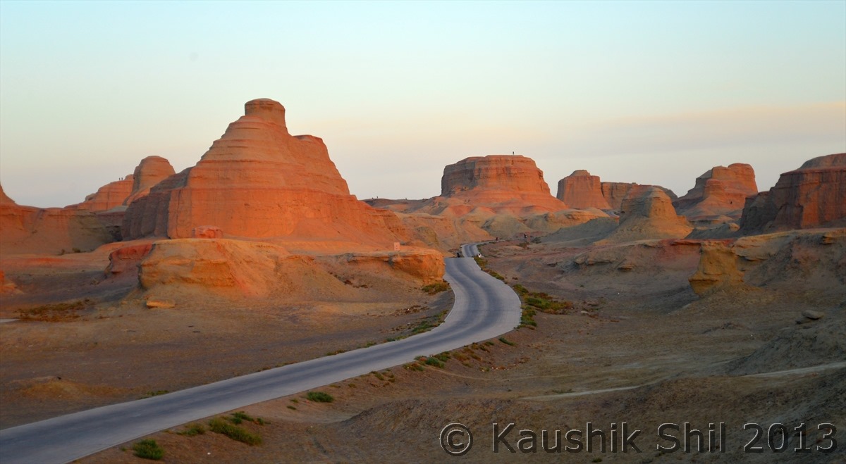
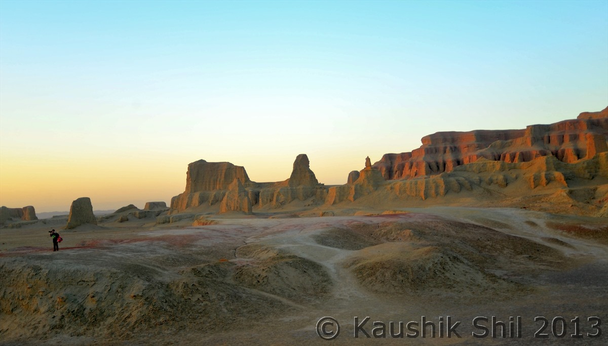
We started early as we had to trace back same route till Burqin and then taking Highway 217 to go to Karamay for night stay. Highway 217 heads south from Burqin cutting through the black rock ridges crossing the vast arid flatland in the middle of big nothingness. The mountains in east side are part of Tarbagatai range the runs southwest from Altai and creates natural boundary between China (Xinjiang) and Kazakhstan. From Highway 217, road diverted to further West to Jaminay town which is the border town known as gateway of Northern Kazakhstan. This border is open for foreigners with valid Kazakh Visa, across the border road continues to Zaysan lake and further a day drive will take you to Zaysan town. Highway 217 continues to South and enters a wind eroded rock hill region that is Xinjiang’s most renowned yardang landscape. Our main attraction today was to visit the Uryhe Ghost city, which claims in entrance gate as “Ghost City of the World”, Ghost city is nothing but actually a huge area of yardang rock formations which consist of sedimentary rocks (Millions of years back this area was a lake which dried up subsequently) that was weathered away at different rates by fierce wind erosion. This place indeed another photographer’s paradise during sunrise and sunset time. We reached there around 2.30 in afternoon and thought of entering there around 5 / 5.30 to enjoy the sunset over the amazingly shaped rocks. So just south of this place a Dinosaur Park has been built for additional tourist attraction and we decided to go there first. This area of Xinjiang is gifted with various prehistoric fossils from ancient time and in Jurassic age it is believed to be one of the major areas where Dinosaurs lived. My daughter enjoyed the Dinosaur Park a lot, took lot of snaps with different models of Dinosaurs. We gone to a local small town to give our stomach some relief and incidentally we got some fried noodles here (a big change from the boiled noodles we were having for last few days). We gone back to Ghost City around 5.00 and enjoyed some great color and a lovely sunset from there. Still we had to drive for almost 100 km to Karamay town which is known as Oil Capital of China and this area contains 1/3rd reserve of total oil of China. This whole area is covered with tens of thousands oil rigs all connected by underground pipes and extracting the black gold that has made this region more famous than any considerable history like other parts of Xinjiang. Cost of living in this area is now quite high as you would find lot of expats and Chinese from other parts of country has come and settled here for finding fortunes. Many big companies specially the oil companies have setup big offices here and as a result you would find many new and good hotels around this place. Next day our plan was to go further till Kuytun and then leave 217 to take Highway 312 (Now known as Expressway G30) towards further west towards Kazakh border region to Sayram Lake.

On the way back from Jiadengyu we crossed the vast grassland once again:

600_1456

600_1459

600_1462

Crossing the Pastureland:

600_1467

600_1468

Nomadic Life would touch your soul:

600_1470

600_1472

600_1484

The Altai Grassland is going to get over after this pass, see further ahead, the desert type landscape will return:

600_1492

The Highway 217 Connecting Northern Xinjiang (Burqin) to Southern Xinjiang (Hotan):

600_1504

Burqin at the bank of Irtysh (Only river in Xinjiang that meets sea, rest all gets lost in Desert):

600_1522

Fun time in Dinosaur Park, this is the place kid enjoyed a lot:

600_1561

The small town near Dinosaur Park where we had our lunch, try to find something written in English

600_1586

Entrance of Ghost Town:

600_1588

Yardang Landscape:

600_1595

600_1608

600_1620

600_1627

The place looks amazing in the colors of setting Sun:

600_1630

600_1633

600_1634

600_1637

Sun Set in Ghost Town:

600_1642

600_1644

Previous: Day 4

Next: Day 6

Xinjiang, China’s Central Asia and incredible Tibet – Day 4

Day4:

This was the day to explore the Kanas Nature Reserve more thoroughly for the whole day, we started in the morning but the whole reserve is more than 10000 sq km and too large to explore even in one month, so we started our visit with the three most famous bends of nine beautiful bends Kanas river took here, the names are dramatic (Sleeping Dragon Bay, Moon Bay and Fairy Bay), this area is very famous for it rich flora and fauna and only belt of Siberian Taiga forest in China is located here comprising Siberian larch, spruces, red pine, firs and birches. Pine we all know are evergreen trees and only here you would find even pine trees change their color in Autumn, something really worth watching. Kanas is a crescent shaped lake the main showpiece of this nature reserve fed by Altai glaciers and drained by Kanas River. Kanas means beautiful and mysterious place in Mongolians, a name the place really deserves. The pristine beauty of the lake and its lush forests, pure and fresh air and ever changing color of the lake and alpine forests and meadows shadowed by Altai peaks make it an inspirational sight. We enjoyed sometime near the lake in boat jetty and then took a nice walk along the Kanas river, it was really very refreshing and one of the ways to get away from madding crowd. We had a wonderful day through out and enjoyed it thoroughly, we gone back to Jiadengyu to our hotel to start our Southbound drive for almost next 10 days till we would reach Kunjerab Pass in the border with Pakistan (Pak Occupied Kashmir to be precise).

Sleeping Dragon Bay:

600_1326

600_1331

600_1333

600_1343

600_1348

Boating is one of the major attractions in Kanas Lake:

600_1354

600_1361

Kanas Lake fed from Altai glaciers drains through Kanas River:

600_1368

600_1397

Amazing vista with fall colors and snow peaks in the background:

600_1399

Kid is happy in the walking trail beside Kanas River:

600_1400

The lovely walkway beside the river:

600_1407

Irtysh, the only river in Asia that drains in Arctic Ocean:

600_1409

Beautiful Landscape inside the Nature Reserve:

600_1412

600_1413

Tuvan Village:

600_1424

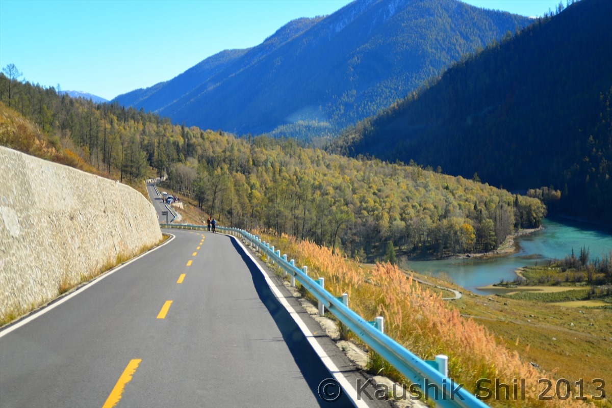
Road to Jiadengyu from Kanas:

600_1430

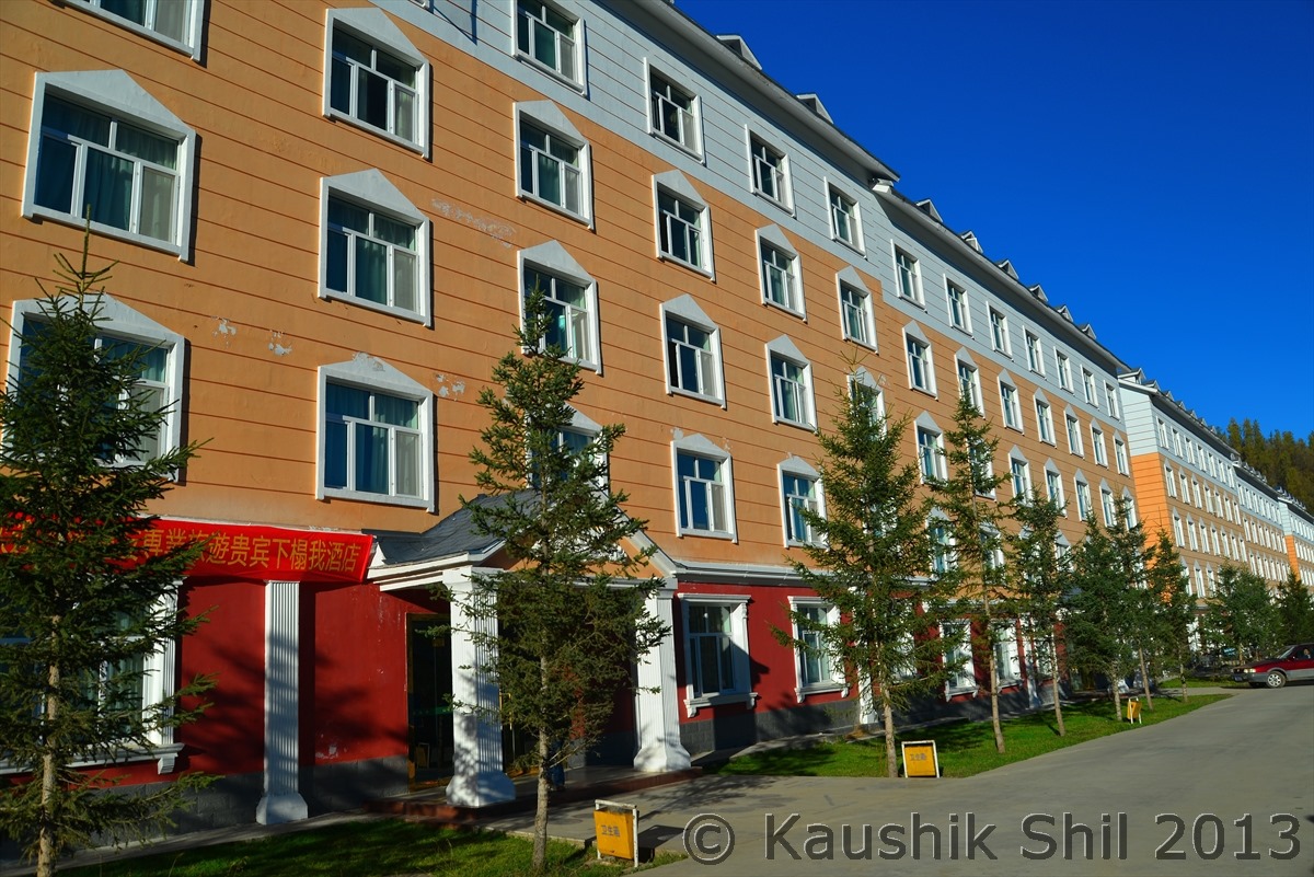
The Hotel at Jiadengyu:

600_1453

Previous: Day 3

Next: Day 5

Xinjiang, China’s Central Asia and incredible Tibet – Day 3

Day3:

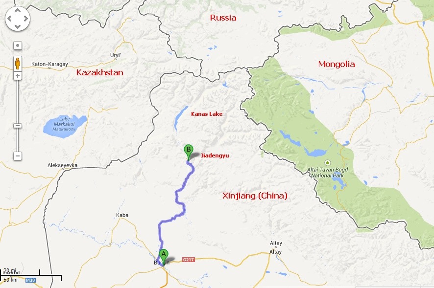
The hotel at Burqin named as Friendship Peak Hotel was really nice one, actually a 4 star hotel in Chinese standard and we had a good sleep and feeling much better after yesterday’s 12 hour drive. The breakfast was as usual Chinese here, we already knew we had to depend mostly on standard things like egg, cookies and lots of breads. The Kazakh bread we tasted here was nice, far better than Chinese noodles, we had it as much as we could, so we don’t have to again bother with Chinese food in between and bought fruits like date, apple, banana from Burqin. Our next stop would be Jiadengyu which is 150km away from Burqin and deep inside Altai area but as that’s just a gateway town for Kanas Lake, so everything is 5 times costlier than Burqin, so better to buy your foods and other things you need there in Kanas from Burqin rather than depending on Jiadengyu.

Route Map for the day:

Buqin-Jiadengyu

The drive started and we soon realized it’s the completely different view of vast grasslands of Altai region with a nomadic culture all around. This area has a mixed culture of Kazakh, Mongols and Tuvans. This drive will offer you number of picturesque camping spots lined with birches, willow, poplar and crossing the expanse of Siberian Prairie land you would descend to a valley of forest and pastureland. We saw lots of nomadic settlements and their make shift camps who go down south as temperature plummeted to 40 degree below zero in winter and the whole area gets covered with snow. This region certainly adds to diversities of Xinjiang which looks purely Siberian landscape between November to May.

Burqin – A small town with close European look than Traditional Chinese:

600_1209

600_1150

A break from yesterday’s desert look, scenery turns green:

600_1153

Vast Pastureland:

600_1155

600_1158

And Nomadic Culture with lots of Mongolian and Kazakh Yurt:

600_1162

600_1165

600_1174

The vastness of grassland is simply amazing:

600_1186

600_1189

600_1191

600_1195

The road continues it journey to deeper Altai Region:

600_1204

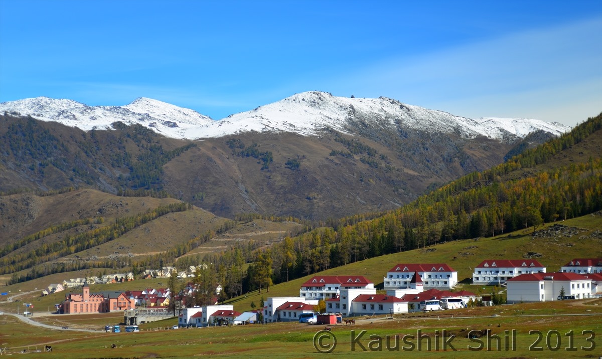
Reaching picturesque Jiadengyu – the Gateway of Kanas Nature Reserve:

600_1210

600_1209

 Day3 Continued…

We reached Jiadengyu by noon and after check in the hotel there, we decided to explore Kanas lake on the same day. Kanas has a lot of walking trails around lake edge to provide fascinating hiking experience for those who are short in time and for those who can spend couple of days, hiking from Kanas lake to Hemu valley in east with an overnight camping at Black Lake is a great idea. Baihaba is another tuvan village in west but unfortunately being just close Kazak border fencing, foreigners are not allowed there. We took precisely 1130 stairs to go up the Guanyu (Fish Watching) Pavilion from where you can get almost a 360 degree view of Kanas Nature Reserve with full view of lake and the friendship peak further away, we were lucky to have a very clear weather and seen the whole Altai range with friendship peak clearly in front of us. Friendship Peak is more famous as 4 point borders of Mongolia, Russia, China and Kazakhstan and view from this 2000 mtr high pavilion is simply stunning with the curvy Kanas lake below. This area in Xinjiang is costliest in whole province, even in Jiadengyu / Burqin room rent for a night goes to 700 to 800 RMB in shoulder season and you won’t get any accommodation in high season of summer. There are few accommodations inside park area which are either too costly or too basic and we decided to stay the night in Jiadengyu only. The hotel was good but was crowded with Chinese tourists, actually the Kanas area is very popular among Chinese Tourists and we found people from far south east province of Chengdu or Guangzhou also came to visit in large numbers. The night was chilly, in September mercury plummeted 15 notches below zero and with central heating on we managed the night but getting outside for some night shot was just not possible, Siberian cold has something special in it for sure.

At the entrance of Kanas Nature Reserve:

600_1213

The magnificent Kanas lake with amazing color:

600_1217

600_1222

600_1223

Guanyu (Fish Watching) Pavilion (Top Most Point in Kanas to have a good view around you):

600_1244

The road to Baihaba – Border Town to Kazakhstan, foreigners are not allowed unfortunately:

600_1266

The Friendship Peak (4 Border Points) in the backdrop of Kanas Lake:

600_1272

600_1277

Previous: Day 0, 1 and 2

Next: Day 4

Xinjiang, China’s Central Asia and incredible Tibet – Day 0, 1 and 2

Day 0

As we had the flight around 12.30 past midnight of 21st Sep, we actually left home on 20th evening. I sent the snaps of my luggage to all the drivers with whom I planned to travel just to check if that could fit comfortably in the car. We were sure about the size and weight restrictions of flights but not too sure about the train and also if these could fit in the cars. China Eastern had almost no airport presence in Kolkata, we were served from Air India counter and also got the luggage tags and more surprisingly the boarding pass printed on Air India boarding pass. I never had this experience of flying in an airline with boarding pass printed on some other airlines. To my surprise the flight was full and full of Chinese (or may be South East Asian Faces) and though Kolkata is linked with Bangkok, KL and Singapore on regular basis, I think this fight between Kolkata – Kunming maintains a good utilization in regular basis and that’s why they now run it daily. The first shock started from announcement itself as initially I didn’t even understand that flight announcements were being done in English too, never experienced such an accent of English before in my life. Gradually we habituated with that Chinese English which needed strong composition power of your brain to make it meaningful. The moment after boarding the flight, we started feeling we entered into China, the flight was full with Chinese, Announcements primarily in Chinese, Even the LCD displays are in Chinese, felt like in a domestic flight of China, hardly could imagine we were still in an international flight.
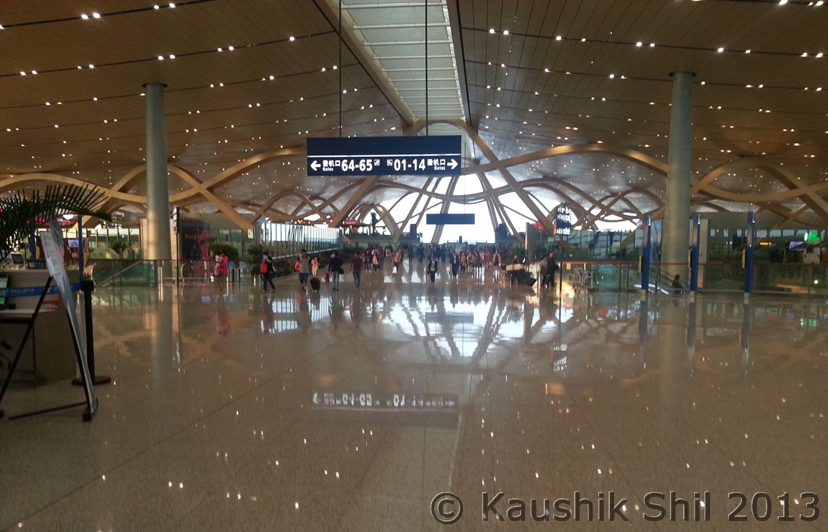
The flight path was pretty straight and it just crossed Bangladesh, flew over Assam (Dibrugarh) and cross Northern part of Myanmar to enter China, scheduled flight time was 2 hours 10 mins (same as Kolkata – Delhi) but it reached Kunming in 1 hour 50 mins. China being even wider than US, maintains just one time zone where as US maintains 4. The interesting part is China’s official time follows Beijing time which is located in eastern most part of this big country and all airlines, train, bus runs according to Beijing time. Be watchful when you buy a morning flight ticket specially in Western China, inevitably you have to fly before sun rise and getting into airport would be difficult just because in western side, sun rises at least 2.5 hours after Beijing. This is surprising like many other Chinese customs to us but in most cases you won’t get any proper logical answer to many of these strange rules, my guess it’s a Chinese style of maintaining national integrity and make everyone in a culturally and ethnically diverse country aware that whole China follows what Beijing does. Though debatable, still good in one way when we see so many newsprints wasted in India to create new states almost regularly. Anyway we reached Kunming around 3.00 am in India time which was 5.30 Beijing time, China is 2.5 hours ahead of India. That was actually the last day of Mid Autumn Festival, the airport was quite crowded, Kunming is definitely smaller than Beijing, Shanghai or Guangzhou still having three times size of Delhi T3. China’s growth is surprising specially the way it improved the infrastructure, we traveled 10000km overland in two most backward states of China, yet never seen any asphalt road, all are just made of Concrete, even if it runs 5000 mtr above sea level or through a wetland or desert. Even 3rd / 4th tier towns have 3 levels of ring roads and more than a dozen of flyovers and underpasses. Urbanization is in its extreme and sometimes by ruining the culture and history. Again not sure why it is so and no body could give you any satisfactory answer but my guess is, China really doesn’t have much interest in their rich cultural past, they want to show an ultra modern face of China to the world and might believe their history starts after the communists taken over in middle of last century.

Day 1

One good thing about Kunming Airport is, it’s all in one building, you don’t have to rush from one terminal to other to catch your connections. We approached to Immigration where they didn’t allow us to accompany our daughter, not only for us, for all young kids, the rule was same, he/she has to face the immigration officer alone and understand his / her out of the world English pronunciation, had to answer a few questions like where we would go, why we have come like this and then some more which the kid won’t understand and finally if they wish, they would stamp the passport, a torture in one word! We discussed and decided we won’t tell anything about Xinjiang / Tibet in immigration unless we were forced in such situation, so kid was prepared to answer correctly what was expected from her and we were not asked much, our passports were stamped, we collected our luggage and then realized no body around us even know that there are few more language exists in planet Earth apart from Chinese. Our only hope was the display boards those were displaying alternatively in English and Chinese. We somehow reached Domestic areas but then didn’t find anywhere any board where our flight number was displayed. We still had enough time almost 3 hours, so just relaxed, tried to find drinking water, only hope was again the signs, now we found the water but it was boiling, everyone else sipping it like a cup of coffee, we tried hard to find something we are aware of as normal water (even cold would do) but didn’t find any. So we also tried the same, sipping the hot water, good it killed some time too. But then we needed to check in to our domestic connection to Urumqi but no display board showing which counter to proceed for check in for our flight and no check in counter had any display board. We started asking the China Eastern Staff, she looked carefully to our ticket print out for few mins and then showed us some counter in other side, we gone there but then I realized she didn’t see the back page where the domestic flight detail was printed, so either she didn’t read or she couldn’t read, we asked someone else, again a blank expression after looking at the ticket, gone to a third person, she gave us an expression close to laughing Buddha, now we started feeling the heat, I started asking in English rather than showing the print out, asking in loud voice so even if someone out of the airport (who knew English) could hear me. Now someone directed me to another person, seems to be the best in English, as usual she couldn’t understand much what I asked, I didn’t understand anything she was trying to explain, but she at least asked me to go to counter 1, yes at last got a counter number, now their the lady never heard the airport named Urumqi (Urumchi), she said no such airport is there in China, I tried my best to make her understand it’s there and China Eastern issued me a ticket for that, tried with Airport Code URC too but still no result, then I tried with the province name Xinjiang (Shinjiang) and got first sign of some success, she was surprised that some foreigners coming to Kunming and instead of going to China, trying to go to Xinjiang, she smiled and asked me “you wanna go to Wulumuchi right?” Oh God, I learnt in hard way Urumqi is actually Wulumuchi in China and then even if it’s not, I was desperate to get out of Kunming, so I said yes by nodding my head fast. She took my bags for check in and asked me to go to security. Then I first understood check in process in China is to some extent different, you can check in using any counter of the specific airlines and luggage scan for check in bags happen after issuing the boarding pass. This is in general an efficient process than scanning your luggage separately but issue is if something they find objectionable you might need to come back to check in / luggage handling area from the secured area which is another hassles, I had to go through that once and while doing so I almost lost my passport but that was another story, will write about that later. We crossed the security, inside bought a 500 ml mineral water bottle in 14 CNY, costliest water I ever drank but no other option if you don’t want to drink boiling water.
We boarded the flight for Urumqi and fortunately it departed at right time, it had a half an hour stop at Jiaquan but all had to get down from flight, again didn’t understand much why so, (It actually takes more time to get down, collect temporary transit pass and then again come back to flight, as a whole its more than the scheduled stoppage time) but when back we found they cleaned up the flight and even took the snacks we left unfinished. The flight goes to North from Kunming, cross between Chengdu and Chongging and fly North till Lanzhou before it turn left and cross Gobi Desert by the side of China – Mongolia border through the Northern side of Kunlun Mountains and finally reach Urumqi. We reached almost on time and Urumqi seems to be a relatively new city, around 300 years old (Yes its new comparing to historical cities of Hotan, Kashgar or Turpan all of which would exist even in 2000 BC).

I arranged two different drivers one for Northern and other for Southern Xinjiang mainly because it’s such a big province, it’s better to travel with someone who knows the area well, otherwise it’s like hiring a driver from Ladakh and travel to Madhya Pradesh with him. To do that I had to rework in my plan as I need to choose a place where first person would drop me and second person would pick me up without much of additional driving. The person whom I hired for my Northern Xinjiang trip was an Uighur in his mid 30, very nice person, speak excellent English and most importantly have guide license that means I could save a lot as in some places for foreigners, a guide is must. His name was Ablajan and he was right there in Airport with his Nissan Bluebird to pick me up. He just came from another long trip with couple of German tourists who were doing there China to Italy trip overland and he just transferred them to Kyrghiz border. I must say he is a very nice host, entirely professional and clearly told me he never took any Chinese Tourists even if they are ABC (American Born Chinese), most of his tourists are Europeans, he never handled Indians but knew about Gandhi/Neheru and the soured Sino-Indian relationship across Tibet/Ladakh border. Anyway from first day I felt not everything is right between Uyghur’s and Chinese, Ablajan took me to a Uighur hotel (actually I never been to any Chinese hotel in my entire trip except one or two places where there was no option). We picked up lot of dry fruits, cakes, cookies and most importantly few Nans (Bigger version of our Roti) and quickly collected local SIM Card and most importantly exchanged dollars to CNY from black market as there were lot of people from Kazakh/Kyrghiz/Tajik who run this money market in this part of China, much hassle free than spending your 4/5 hours of prime time in morning and rate wise even slightly better than what Bank offers. Ablajan made all these super smooth and we completed all these in an hour or so. Ablajan also gave his Wi-Fi hotspot which was of immense help during the first week of travel as long as I was with him. This he bought specially for his clients as most want a hotel with Wi-Fi where as in China even if it has Wi-Fi, it’s not easy to connect and speed is not up to the mark always. Now with phone and data connection, having local currency and some foods for next day’s long journey we were ready for dinner, again it was Ablajan who saved the day for us, with lots of effort we found some rice and chicken to fill our stomach without hurting our test buds a lot. Now it was the time for bed for first day of our trip. Tomorrow we would drive for 750km, one of the longest drives in our whole trip.

At Kunming Airport:
20130921_072400

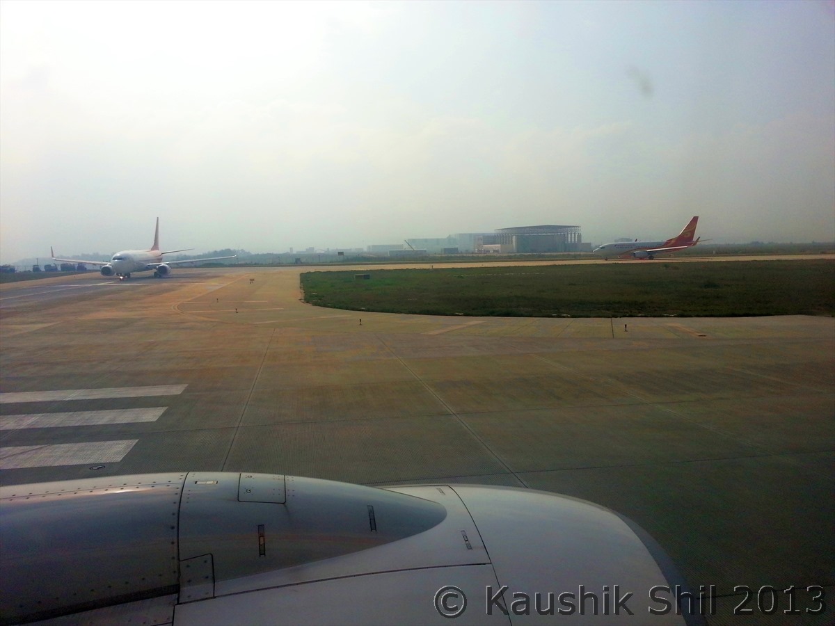
About to Fly out from Kunming to Urumqi – A long Five and Half Hours of Flight:
20130921_095207

At last landed at Urumqi Airport:

20130921_150946

 Day2

We got up early, Ablajan was very disciplined person and punctual, he told us on first day we would go by Beijing time and by 9.00 in morning we would be checking out and in lobby, the problem in Xinjiang is, local Uyghur’s actually set their clock as per unofficial Xinjiang time, they don’t follow Beijing time, so once you are in an Uighur hotel, 9.00 am means 7.00am so that’s the earliest when you can expect breakfast. So that’s the earliest time we can set for us. We took quick breakfast with the help of breads and some noodles and by 9.30 we were off.
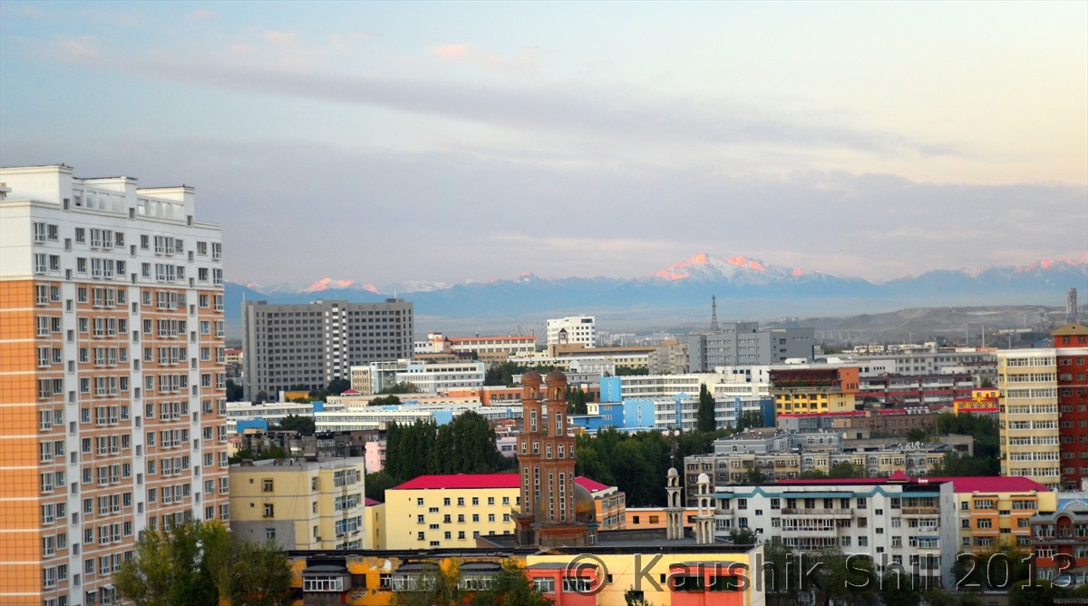
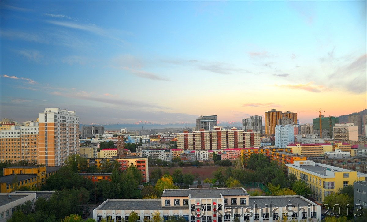
The morning was awesome, we were greeted by brilliant weather, heard from Ablajan, last day was cloudy and raining there, from hotel room we could see the first rays of Sun touching the Tienshan Mountain ranges, actually Urumqi lies just in Northern side of Tienshan (Heavenly Mountains) and receives lot of rainfall and snow from moistures brought in from Siberia/Altai region, but just south of Tienshan till Kunlun, it’s absolutely desert, the great Taklamakan and the area receives very less rainfall. Urumqi is strategically located for ancient migration from Tarim basin oasis in south to grassland of the nomadic tribes in north crossing the Jungar Basin. However Urumqi is considered as a recent settlement with history goes past maximum 200 years and didn’t play any role in early trade route which passed through south east of town. Now its been a modern Chinese city with tall buildings and lots of flyovers and heavy traffics even on a Sunday morning. We were surprised to see the traffic at 9.30am (which is 7.30am local time) in a Sunday morning in Urumqi.

If you see the map below you would easily understand that we are trying to reach from Tienshan mountain range to Altai mountain ranges in North during this day
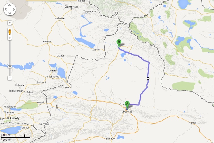
Urumqi-Burqin

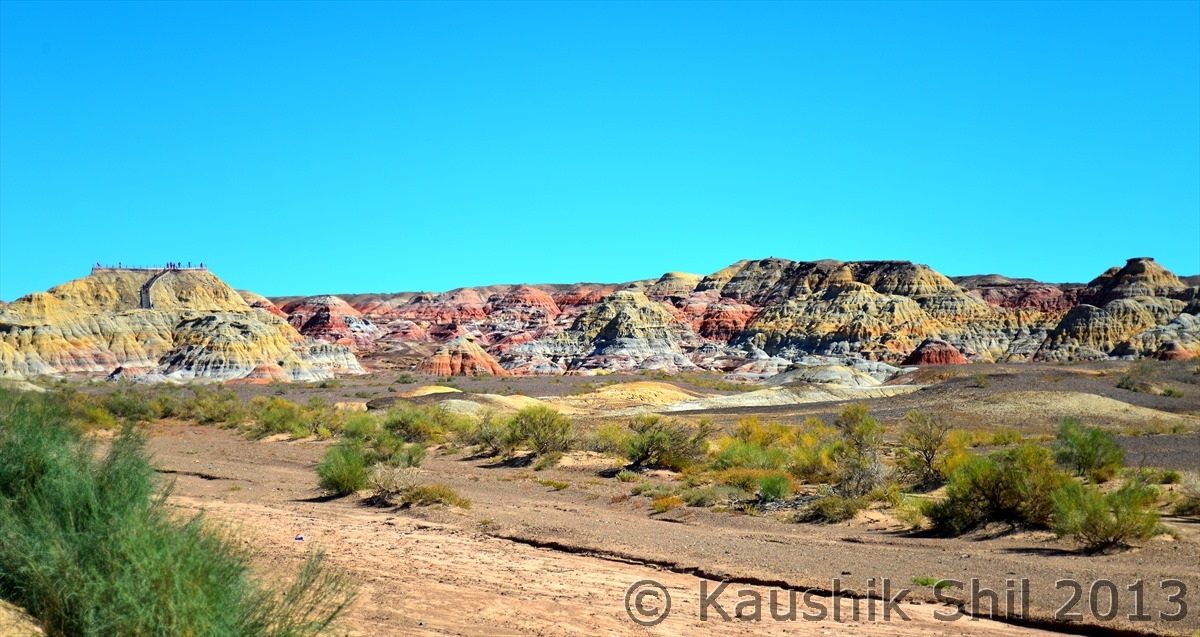
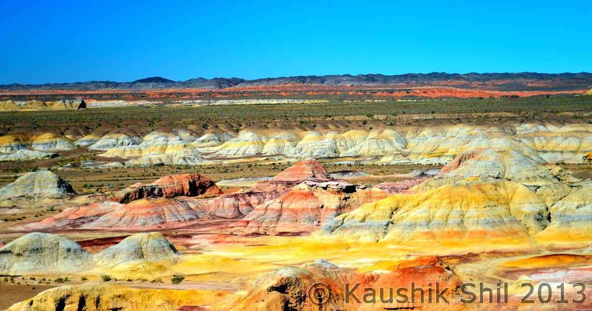
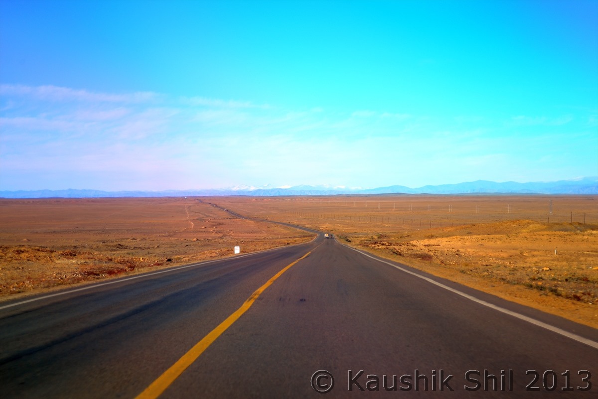
The route as I mentioned was long and there are two main highways of Northern Xinjiang meet at Beitun, Highway 216 going through eastern side and Highway 217 going through western side of the big centrally located Gurbantunggut Desert which is connected to Gobi in Eastern part towards Mongolia. We planned to go through 216 as we wanted to see Multi Colored Bay, a fascinating danxia landform of Jurassic age with many astonishing colors and specially in morning and evening it’s certainly a photographer’s delight. But the location is odd for staying a night to enjoy the sunset or sunrise as there is no place to stay nearby, you need to camp yourselves. Still we decided to have a look at this place but paid hefty price of taking highway 216. It’s basically passes through the coal rich region of Xinjiang and movement of coal trucks are too heavy to make it not so pleasurable driving experience. We stuck in a traffic jam here and lost 2 hours which was critical for such a long journey. Initially the landscape was fascinating as you will have Tienshan ranges in your right but slowly when it enters the desert, it becomes little boring. Add to the worry, out of 750km road, at least 100km roads are being re-laid and traffic were diverted through an off road which further slowed down the journey. We didn’t understand why Chinese people couldn’t repair every 5/10km of short stretch instead of closing 30/40km at a stretch and made it painful diversions for the motorists. The lack of information is another big problem, you would hardly know which roads are under maintenance and when they would be completed until you really hit there.

We reached Multi Colored Bay quite late around 2.00pm after all the traffic jams and spending around an hour we had to rush to our destination to Burqin which was still somewhere around 350km away. The desert landscape continued till Fuhai county from where you would get first view of Altai ranges and landscape started turning to green with emergence of Irtysh River which is only river in Asia flowing North to drain into Arctic Ocean, the highway turned west through northern rim of desert and you would see in your right the snow peaks of Altai and lined up poplar, elm and willow trees with Irtysh flowing beside you all along. From Beitun the main highway 216 turns North towards Altai City, the capital of Altai prefecture where as we continued straight to Burqin, a nice small town with European touch which looks completely non Chinese and pleasure to your eyes. We reached quite late at almost 9.30 in evening and after such a hectic drive of 12 hours, didn’t have any intention of trying Chinese dinner, we understood the importance of carrying Uighur Nans, we just have our dinner with nun, fruits and tea. We were tired and gone to bed as quickly as possible with a promise of better tomorrow.

Urumqi – made its place in Guinness Book of World Records as most remote large city from any sea in the World, located at 2250 km from nearest coastline, farthest city from Sea

Urumqi is greeted by first ray of Sun on Tienshan Mountain:
600_1109

Urumqi – Modern Chinese City and Capital of Xinjiang:
600_1110

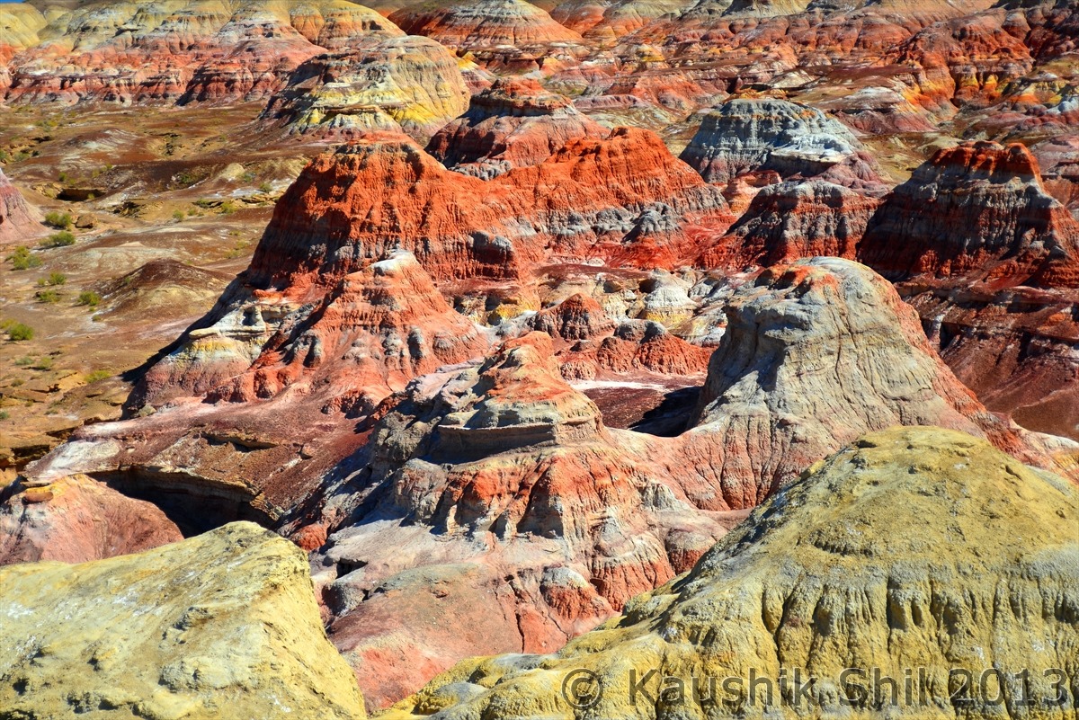
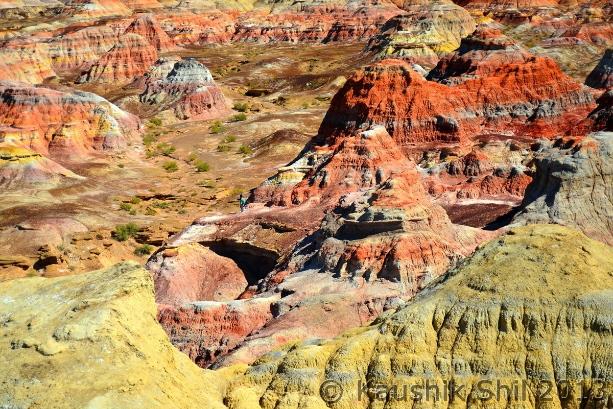
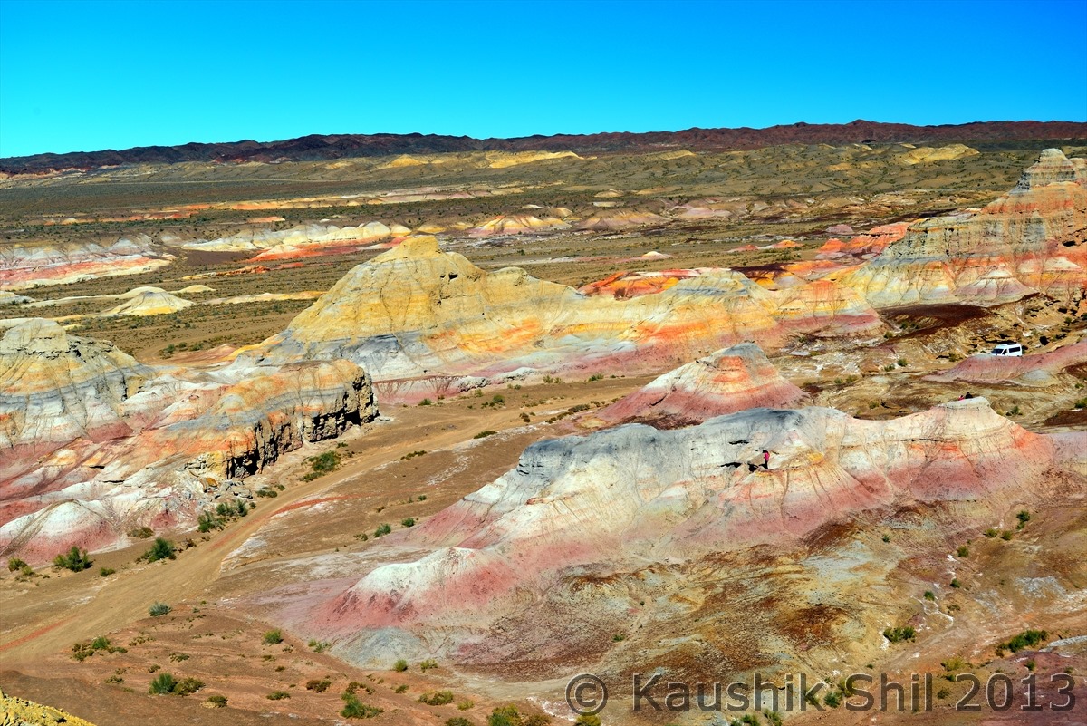
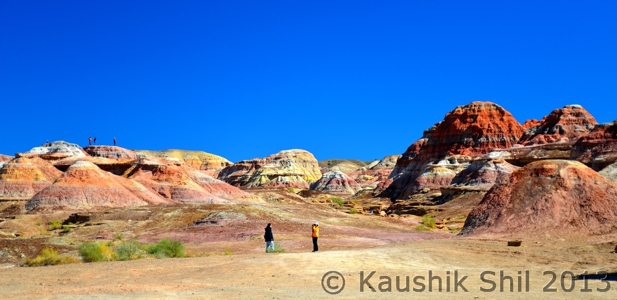
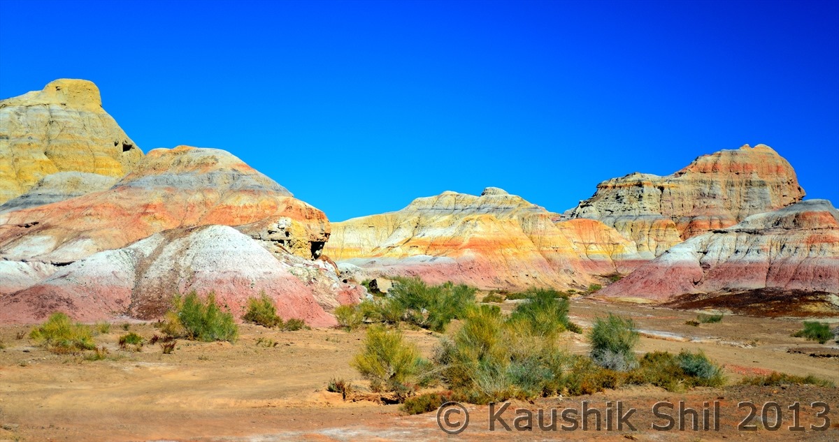
Amazing Colors of Multi Colored Bay, Danxia Landform:
600_1113

Amazing Colors of Multi Colored Bay, Danxia Landform:
600_1118

600_1120

600_1123

600_1125

600_1126

600_1127

Highway 216 – still going through Gurbantunggut Desert but approaching towards Fuhai County and far away Altai Range is getting visible:
600_1129

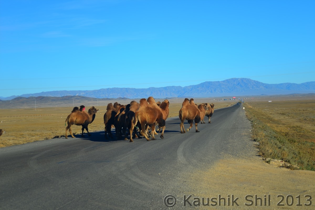
Bacterian Camels crossing highway 216:
600_1133
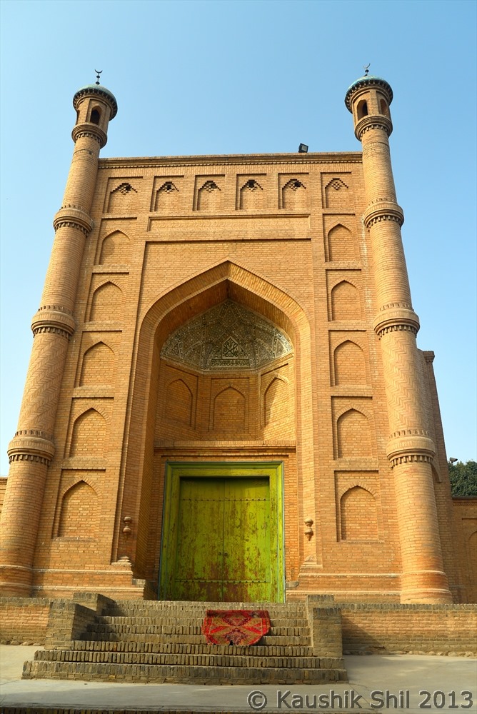
Our Hotel in Burqin:

600_1150

Previous: Things to keep in mind

Next: Day 3