31st December:
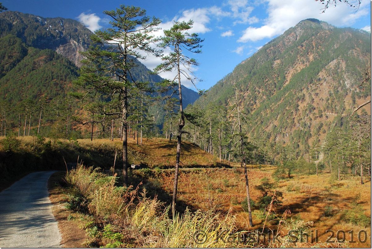
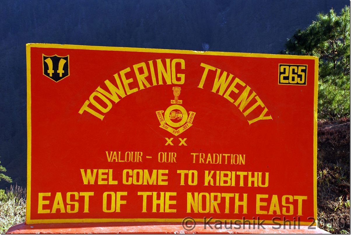
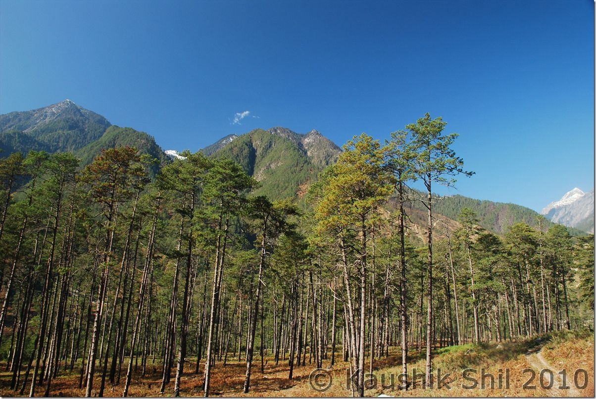
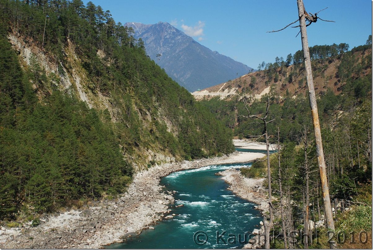
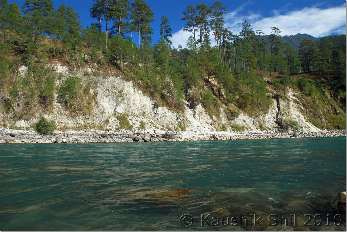
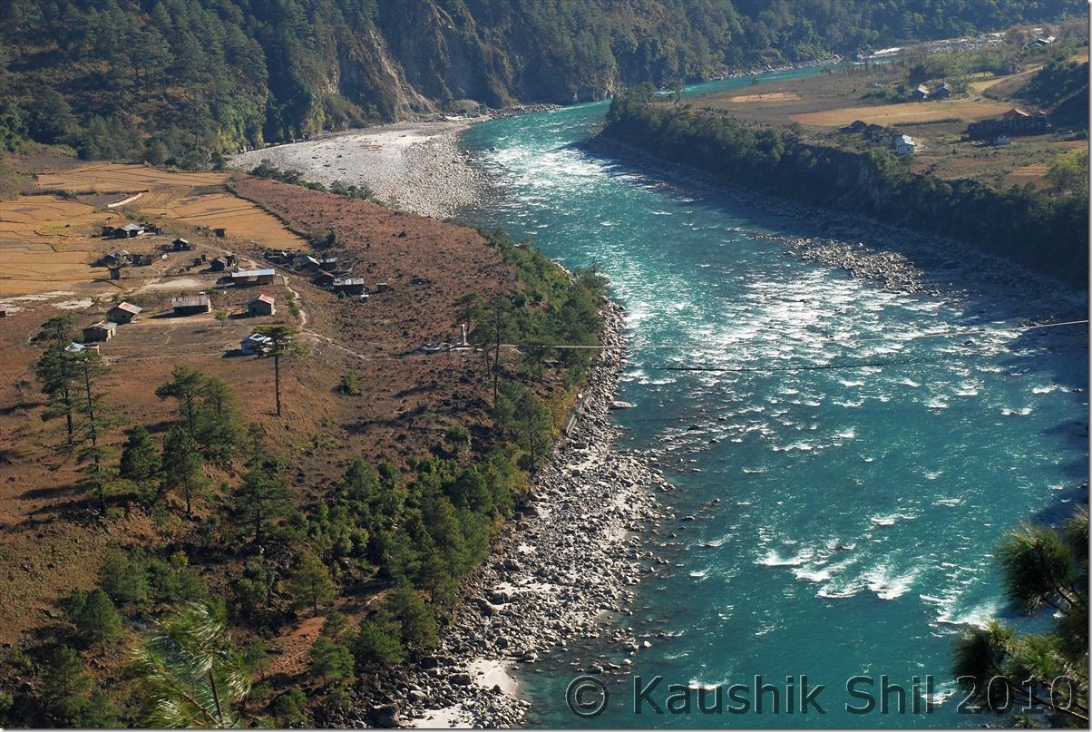
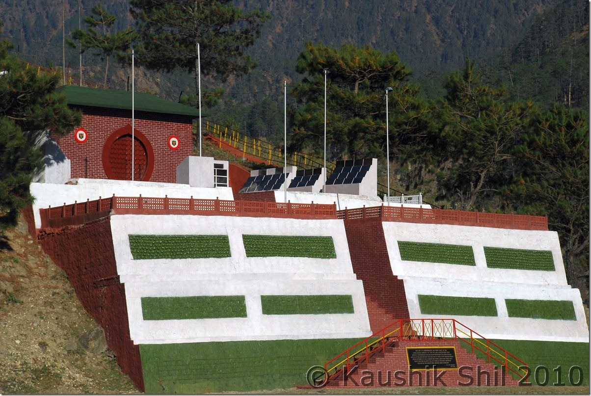
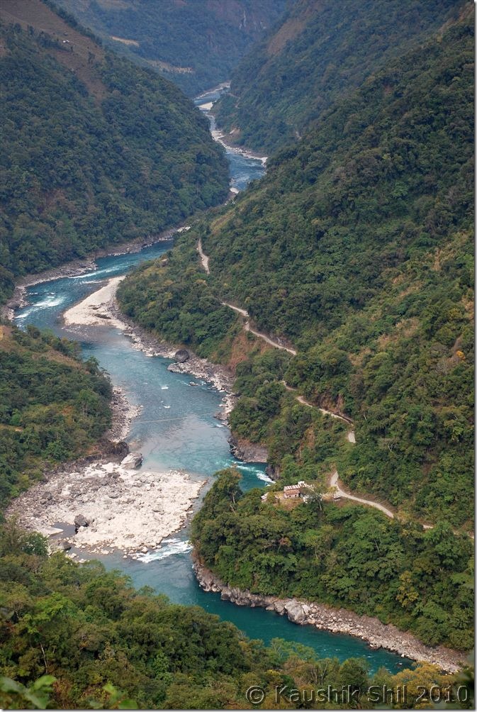
Started from Walong at 7.00am as we had to explore the area before heading for Hawai to stay the night. Gone to Kibithu, famous as it’s known as “East of North East” crossing the most panoramic part of the whole journey. The road from Walong to Kibithu would make you remember of Kashmir Valley specially the road to Pahelgaon. Crossed Namti Valley where the fiercest battle of 1962 was fought by Indian Army but when you would be crossing these area, you would be more amazed by the beauty of nature than the memory of war though the whole region has several battle monuments for the martyr of 1962 war. We reached Kibithu (24km from Walong) around 9.00am and found the helipad is now restricted for civilians. We visited the ITBP Camp there and from there we could clearly see the Chinese Camps in other side of border. Photography is strictly prohibited in whole area especially towards to Border. Only phone in the camp was down and we got a chance to chat with couple of ITBP people who were really frustrated for not being to able to even talk to their family and wish them in new year, what a hard job these guys do and its because of them we are celebrating our holidays, I was just enquiring about the exact tri-junction border between India-Myanmar-China and they said its still almost 85km from there (out of which around 20km is motorable up to Dechu) and they regularly goes for patrolling the area by foot, the forest is so dense, they can’t even use horse/donkey to take the ration, one side trek takes around 8 days from Kibithu. No further roads can be built as the border region here is disputed and China doesn’t agree to McMahon line here. We gone towards Dechu through another road through Mesai Bridge and Kaho that is written as “Eastern Most Road of India” but just before Dechu was stopped by Army and they told no civilians are permitted beyond Dechu, the last habitable place closest to Border. From a place nearby, with the help of Indian Army we gone up to a hill and through their telescopic lens we could clearly see the Chinese Army movement in other side of the border as well. They said the border is completely peaceful for last 2 years but both sides’ army patrols there 24 hours, I couldn’t even imagine how difficult it would be to spend night after night in open air looking through Night Vision Telescope towards the border but that’s what Army do for us every single day and night. This road to Dechu is fearsome, on one side its steep rock gone up and other side deep gorge straight down to Lohit River. We started around 11.45 from here our return journey and on the way back stopped near hot springs of Walong where you could touch the Lohit River, awesome place and a new circuit house is being built here, locals are even catching fishes in the cold water of Lohit, God only knows how anything can live in such a cold water. The hot spring is nice and you can take a nice bath if you plan for it. We reached circuit house in Hawai around 3.45pm in the evening and in December, in that region, it gets dark by 4.15pm. The Hawai is the district Head Quarter of Anjaw though the town is being built and still DC/ADC of Anjaw usually works from Hayuliang and Tezu (District HQ of Lohit). The circuit House is brand new and the best I stayed in my life. The persons are very friendly and we had a great time there but Hawai is probably located higher than Hayuliang and Walong and we felt the worst cold here. Had a nice dinner, only issue is I had to take bath at 4.00am in morning as power goes daily between 5.00am to 9.00am there and you won’t get any hot water in between.
Namti Valley carries the history of 1962 Sino-Indian War:
Kibithu – East of North East:
Postcard from Anjaw:
The hill on far side is in China:
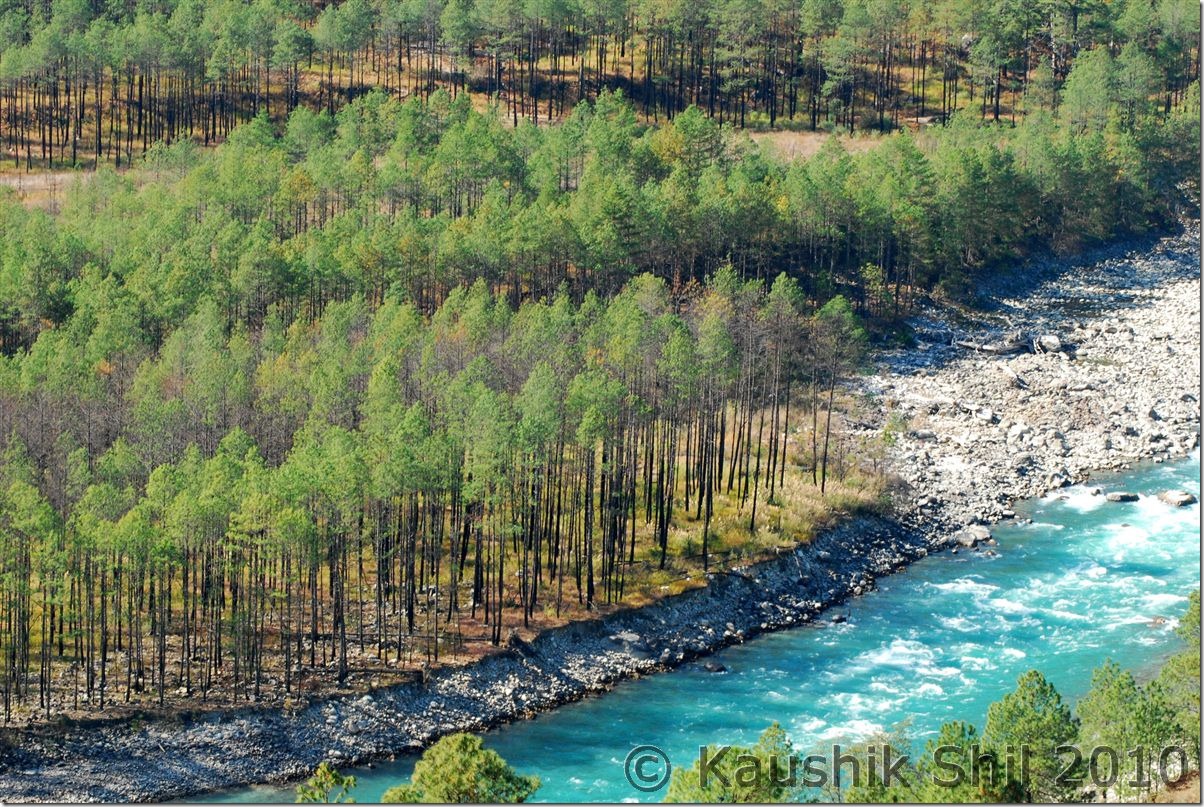
Picturesque Lohit:
Awesome Anjaw:
Close to Heaven:
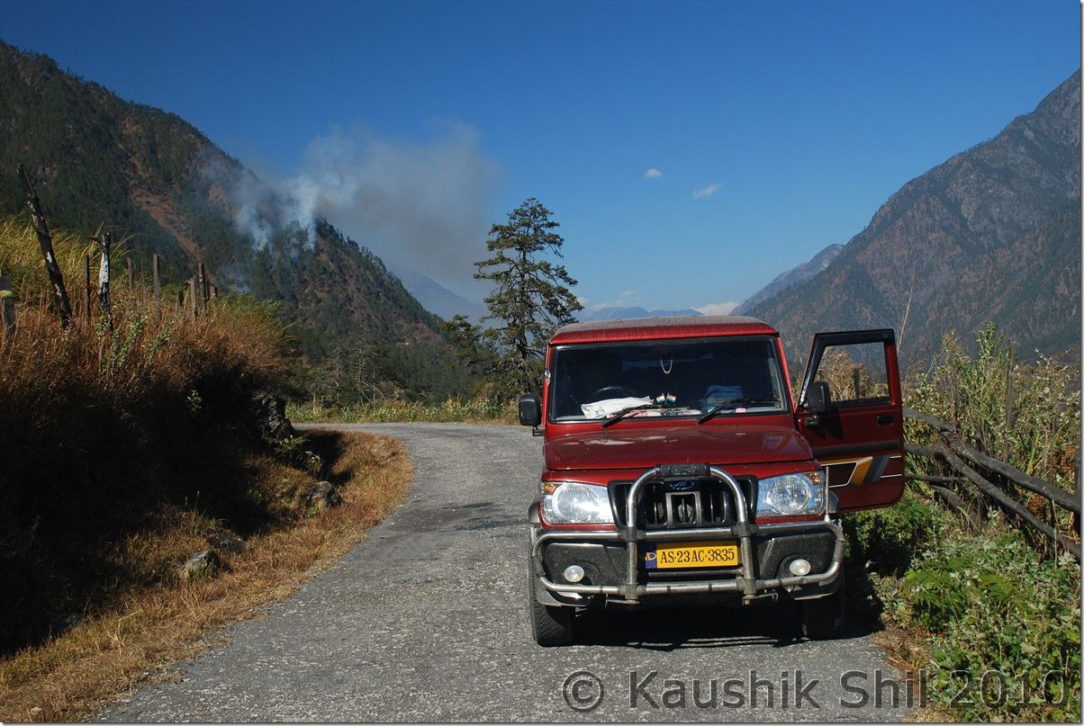
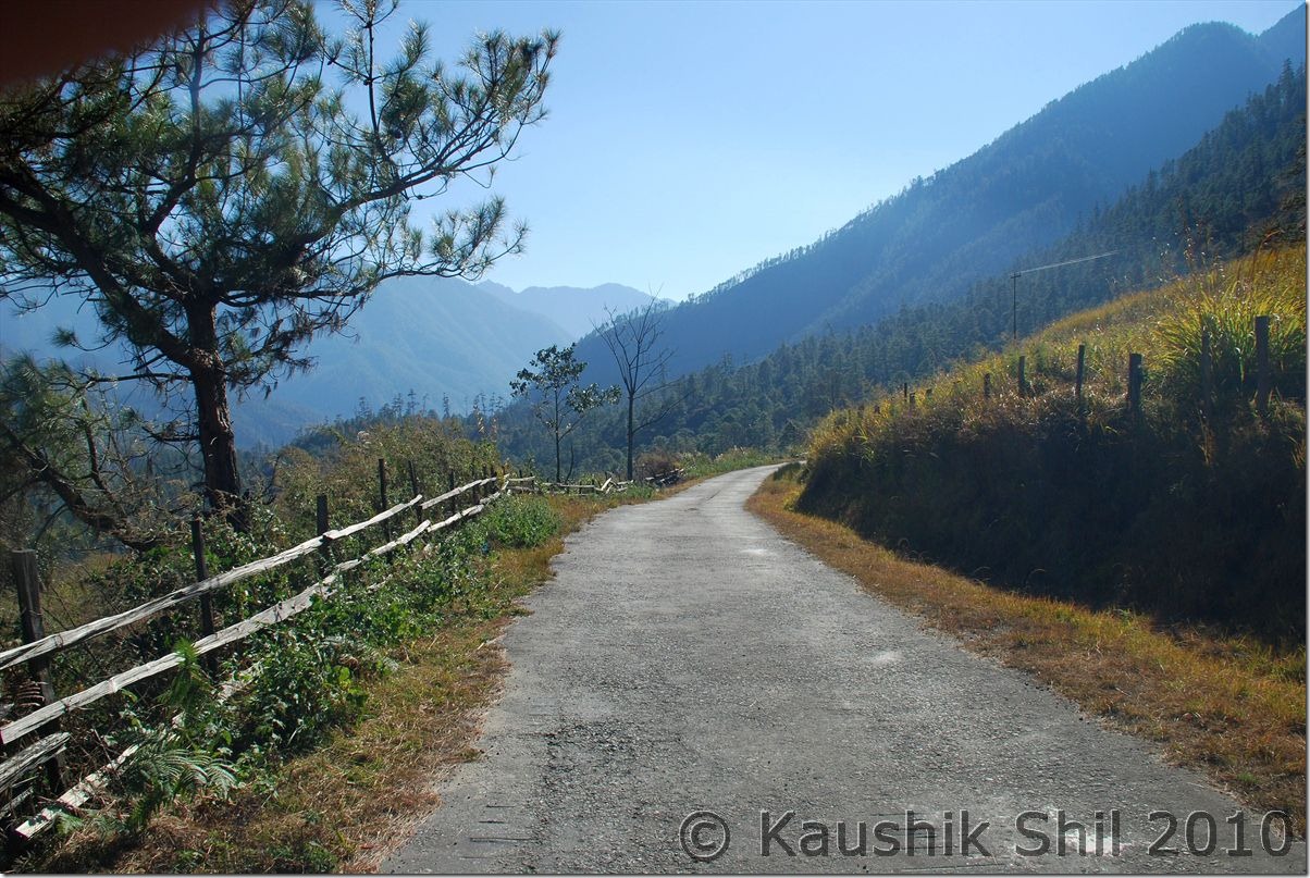
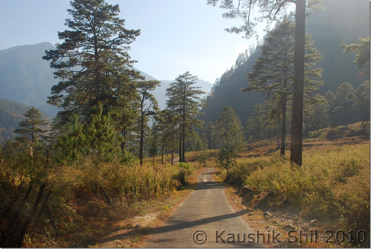
Road to Eastern Most part of India:
Close up Lohit:
Walong Valley:
War Memorial at Walong:
1st January:
It was such a serene place, we didn’t even realize it was a new year morning, the weather doesn’t look promising as the WD that lashed Western Himalayas on 29th/30th Dec, by that time about to arrive Arunachal. I was aware of that and without wasting any time my first objective was to come down from hill before the rain starts. As weather was gloomy and it was a return journey, photo stops were very limited and we took a heavy breakfast, so we tried to come down as fast as we could without stopping for any lunch break, weather was slowly turning bad to worse and slight rain started when we crossed Hayuliang. Crossed Y-Junction at 3.00pm(Started from Hawai around 10.00am) and reached Parsuram Kund around 3.30pm (16km from Y Junction). Took a brief stop but weather was turning worse, rain was getting heavier, we didn’t waste anymore time and crossed Wakro around 4.30pm (It’s completely dark by that time and rain started quite heavily). There is a road to Deban (In Namdapha) from here only 50km and shortest if someone wants to reach Namdapha from here. But from there, you can’t take your car to other side as there was no ferry service to take your car, so if you could arrange another car ready in other side of river and get your forest permit ready (that needs to be collected from Miao) you could save almost 150km to reach Namdapha and that is translated to saving a whole day in Arunachal. We crossed Wakro and reached Medo (21km from Wakro) where we planned to stay in a Forest Dept IB inside a Tea garden that is presently being managed privately. It was an excellent stay and with heavy rains outside, power gone off, the ambience seems to be brilliant but I couldn’t feel the romance at all as I knew I had to cross the deadly Miao-Vijaynagar Road on next day and this rain could make the road worse than hell. Pana, the caretaker was a Bengali guy, cooked Chicken for us and the dinner was excellent. Next day morning we discovered the place was even more brilliant than we thought of and repented of not staying there for one more day.
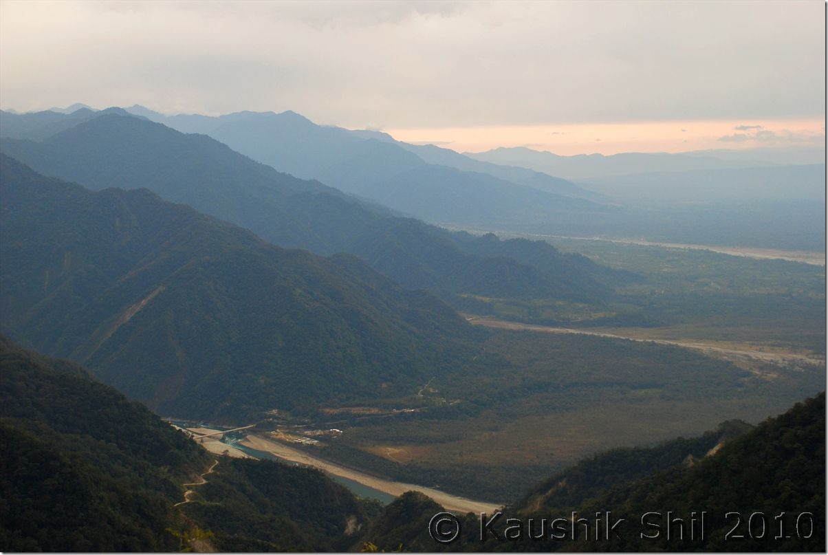
The Road follows Lohit:
Parsuram Kund Bridge where Hill Meets Plane:
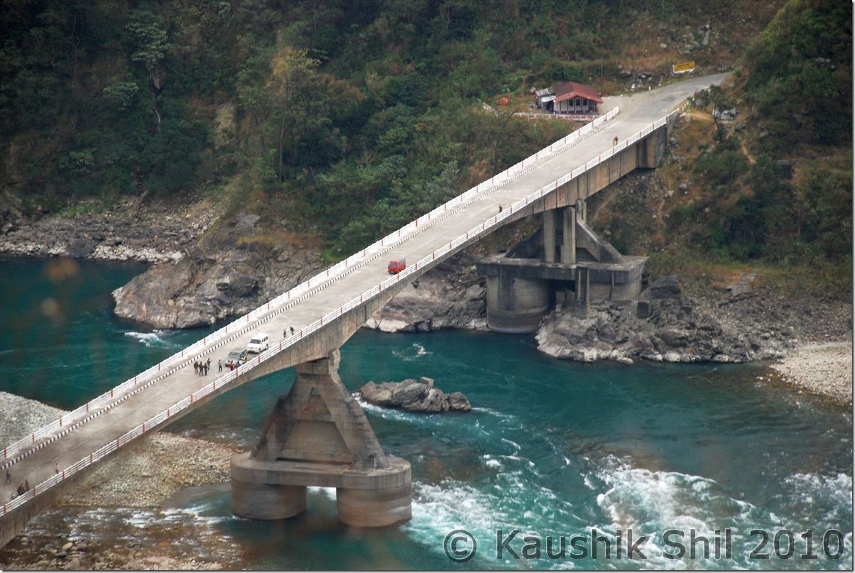
Parsuram Kund Bridge:
2nd January:
I have got up several times at night and every time heard it was raining heavily, so tried to checkout several plans for next day, There are 4 ways you could reach Namdapha from Medo.
a. Through Wakro-Deban – Shortest but none could tell me how the road is from Deban to Miao through other side of Noa Dihing, so couldn’t take chance here after heavy rain.
b. Through Namsai-Dayun-Phup Village and crossing ferry to Miao – The 2nd best option but again people couldn’t tell how the Namsai-Dayun stretch is and how the approach to ferry specially after heavy rain. Sometimes it might get difficult to take your car up to ferry after heavy rain unless the approach road is good. Also the other issue that made me thinking was if I took this road, I couldn’t enter my ILP in Namchik gate that is used to enter Miao and while returning that might create trouble.
c. Coming back all the way towards Tinsukia and through Makum-Digboi-Margarita to Miao – Longest and would cost you almost 125 extra km and huge time and I couldn’t reach Deban on same day.
d. Namsai – Bordumsa – Jagun Ghat – Crossing ferry on Namchik River and to Miao: This sounds best to me as I had first hand information on Jagun Ghat and also I could enter through Namchik Gate to avoid any harassment later on. The road was somewhere good, somewhere medium and somewhere very bad.
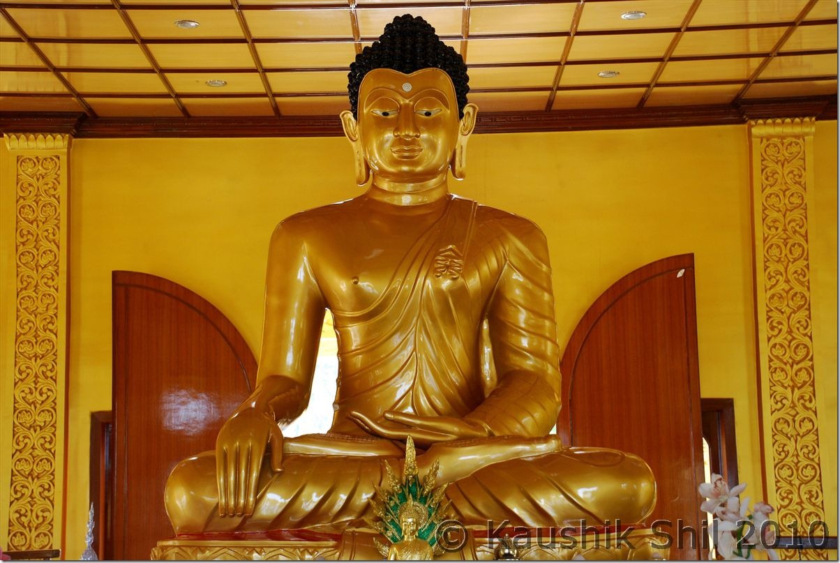
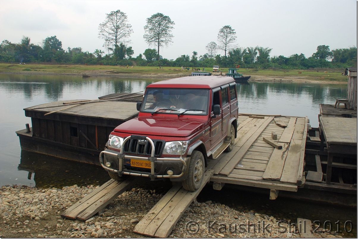
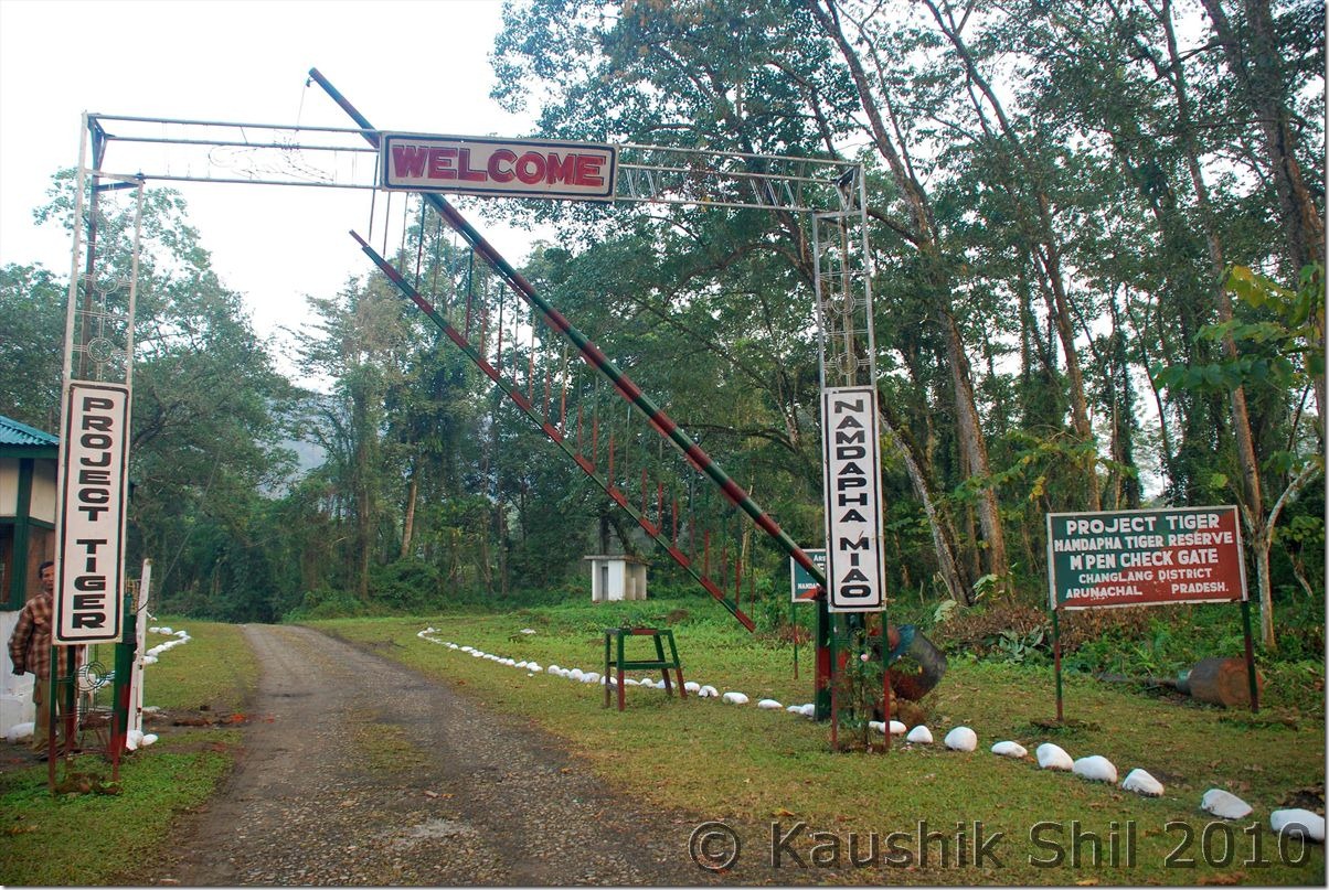
I started from Medo at 9.30am (which was pretty late considering my days plan) and visited Buddhist temple in Chowkham and Tengapani, excellent architecture and different from other Buddhist Temples in India in terms of the structure, you would find sound resemblance with Pagoda style of Myanmar and Thailand here. Finally I paid Rs.100/- all inclusive this time to cross a 2 min ferry ride with car to reach Jagun and from there to Miao via Kharsang (104km Medo to Miao through this route) at 3.15pm. As it was a Sunday, I had to waste some more time as we need to collect Namdapha Forest Entry Permit and Deban Forest RH Booking Permit from the forest Conservator Miao and being a holiday I had to call him and get it collected from his home. Finally we started at 3.45pm and hit the dreaded MV Road (Miao Vijaynagar Road) soon. MV Road was built in 1970s and soon left unattended as maintenance was extremely difficult in soft mud hilly terrain and dense rain forest. The whole stretch is 157km and only 25km up to Deban is still motorable and that too was closed for whole 2010 since a big landslide hit early this year. Governor of Arunachal tried reaching the place in August but had to come back in between and he then promised to come back at December end again. For him we heard the road became motorable few days back again up to Deban but when we gone after the rain, we found it’s only advisable with a 4X4 here. The road going through river bed and in dark if you don’t know it’s difficult to follow the correct road even. The roads inside the rain forest doesn’t get light even in morning, so around 4.30 we were driving almost in dark, in many places the mud was touching the foot board of Bolero. Suddenly we got a cracking a sound and discovered the front left wheel gone inside a trench on the side of the road which was completely covered by grass. We didn’t have much to do than to pray as only option was to lift the car from there which was impossible for 2/3 persons. Being 1st Jan, we found almost a God sent Picnic party returning from Deban and almost 25 people tried their best for 10 minutes to get the car out of the ditch. We started proceeding further in complete darkness now even more shattered after the earlier incident and crossing every single km seems like crossing a hundred km. It was never ending road, we got stuck in one more place where I don’t know how I could able to push the car from mud touching the underbelly of the car. Then in final twist we crossed the mark of Forest RH in left and kept moving through un-motorable stretch of MV Road. We were lucky as one PWD Camp was there barely a km ahead and they showed us the right way. We finally reached the FRH at 5.45pm but would never forget the experience of driving through that 25km. Mainly because of Governor’s initiative PWD started working again on the MV Road to make it motorable up to Vijaynagar and a few bulldozers were airlifted to Vijaynagar and started working on the road from both side. As per Governor’s wish, he wants to hoist National Flag on 26th January but I have real doubt if that dream would ever be met at least on 26th Jan of 2011. We had given accommodation in tourist hut as FRH was being prepared for Governor’s visit but the rooms in FRH were much better than the Tourist Huts. We had our dinner and gone to bed as soon as possible as solar light there gone off in 2/3 hours and we were extremely tired after a long day.
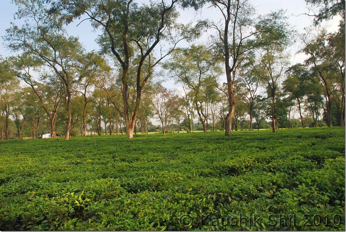
Tea Gardens at Medo
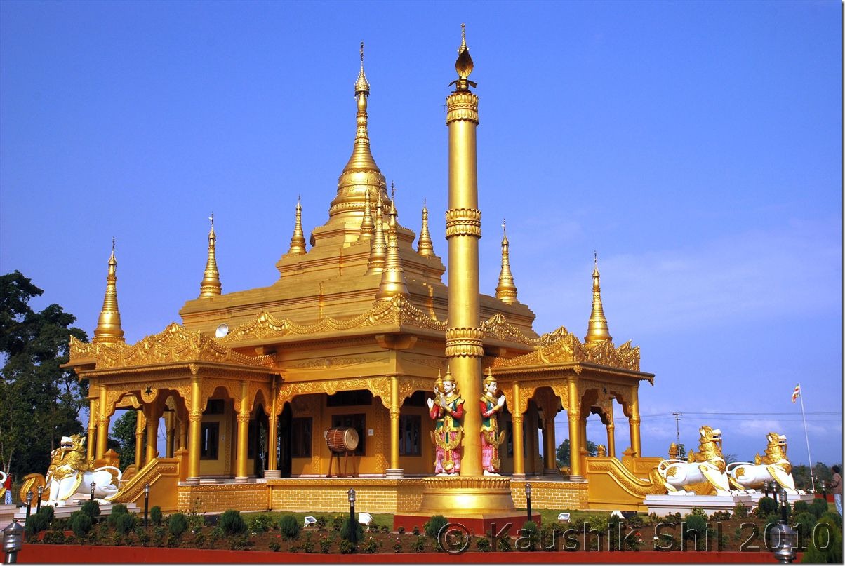
Tengapani Buddhist Temple inspired by Myanmar Pagoda Style:
Lord Buddha:
Crossing Namchik River to Jagun on the way to Namdapha:
Entering Namdapha National Park:
Previous: Arunachal Far East – Dibang Valley, Walong, Kibithu and Namdapha – Part-1
Next: Arunachal Far East – Dibang Valley, Walong, Kibithu and Namdapha – Part-3
